
Hike up the Rax (Heukuppe) via the “Schlangenweg”
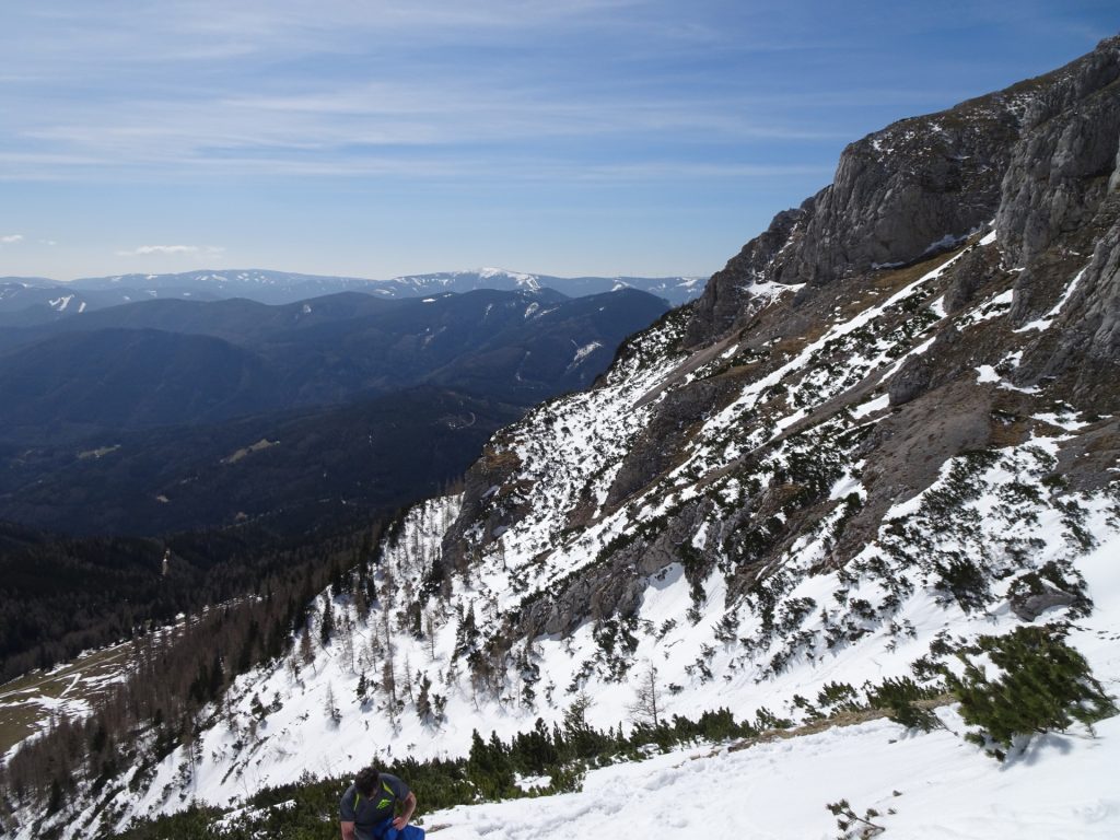
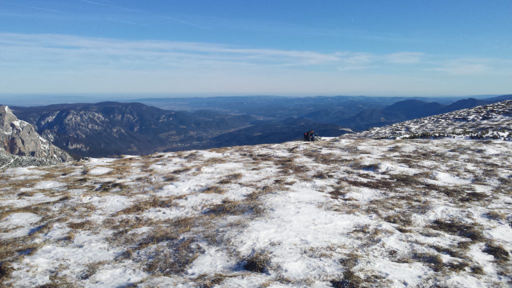
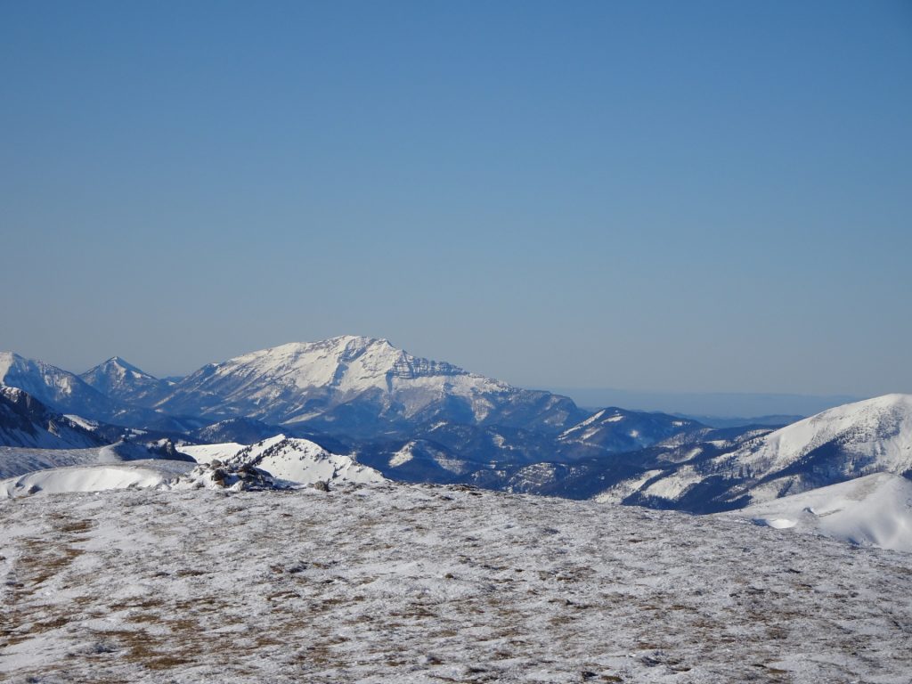
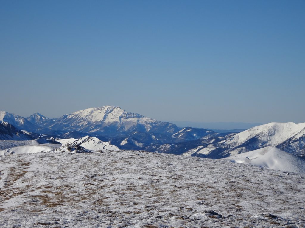
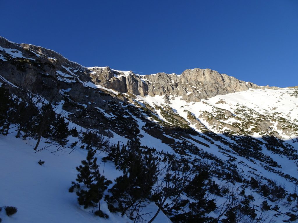
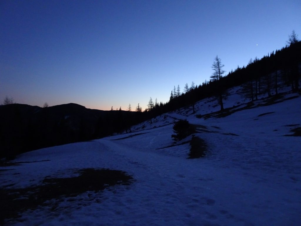
This tour leads up to the highest point of the Rax Plateau, namely the Heukuppe. The tour is fairly easy and does not require special equipment or techniques, thus also suitable for beginners. Due to the exciting scenery and on clear days the awesome distance view on the surrounding mountain area, it is also enjoyable for experienced persons.
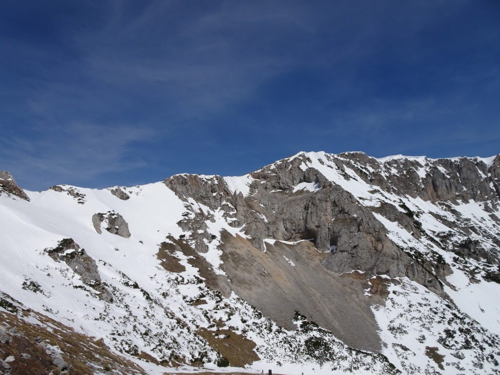
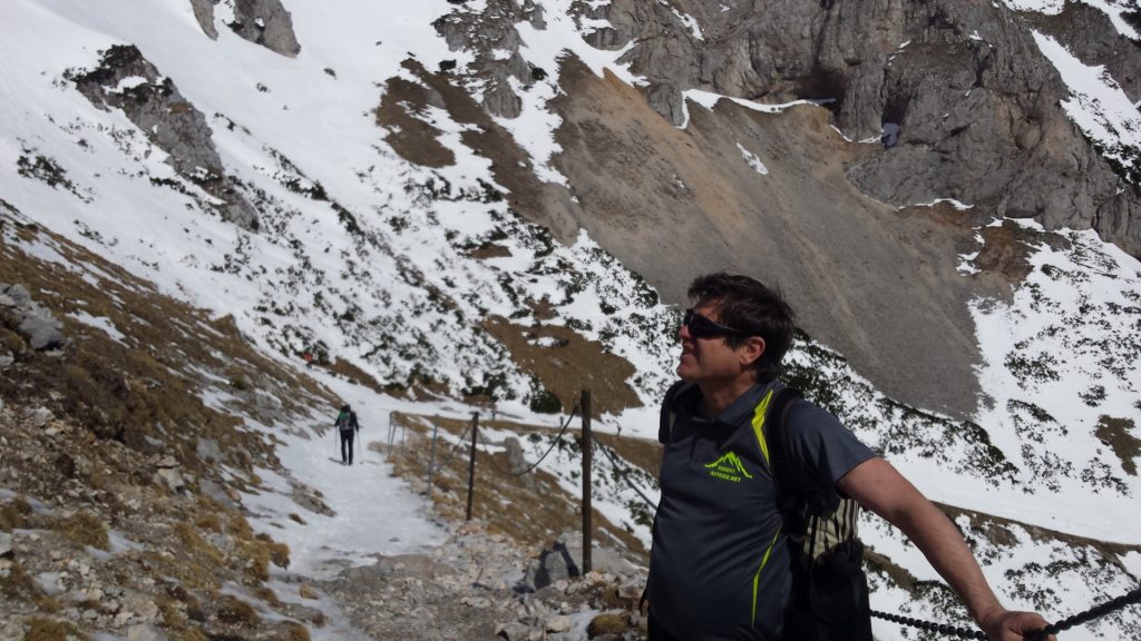
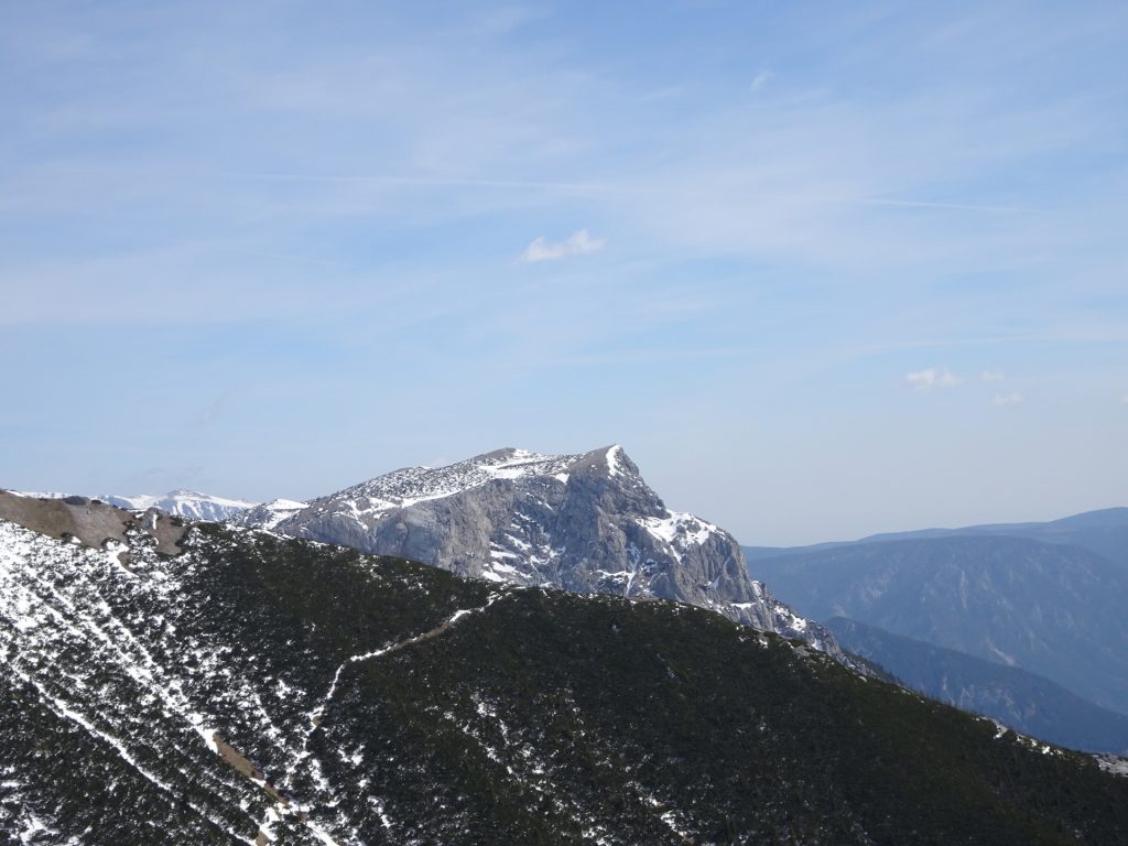
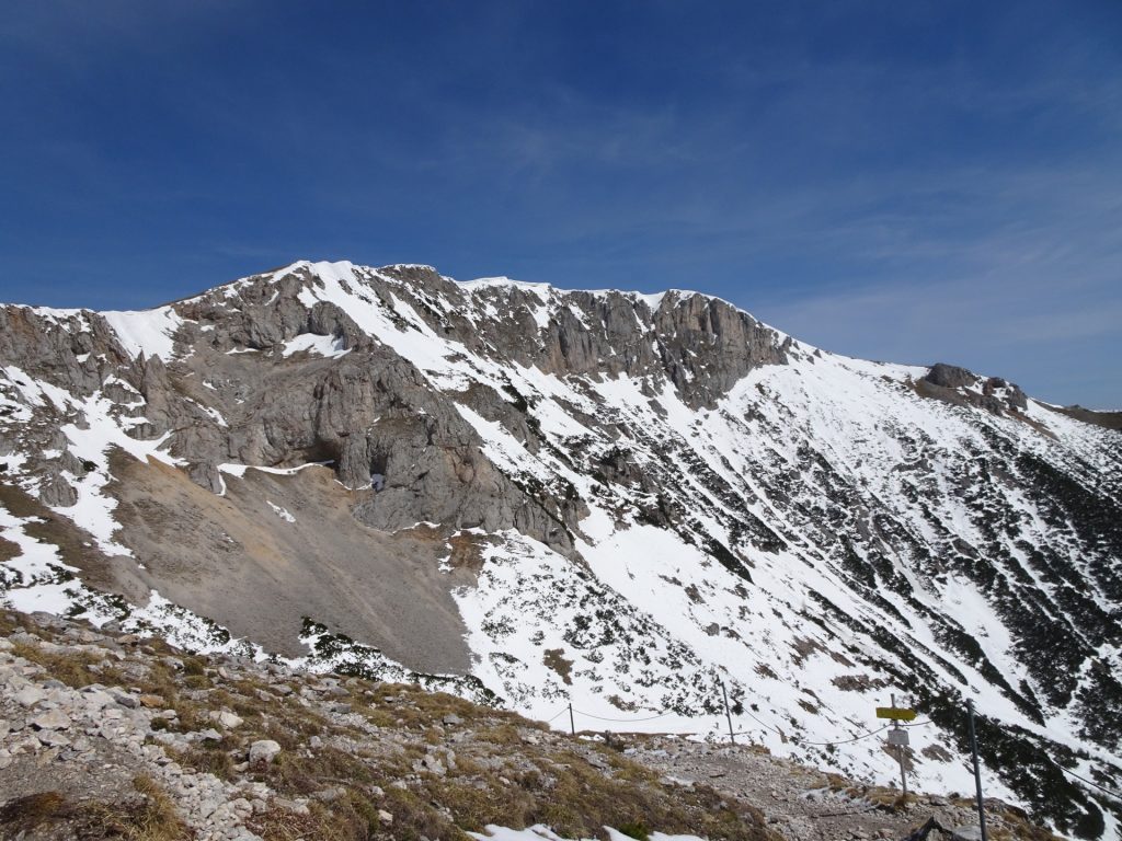
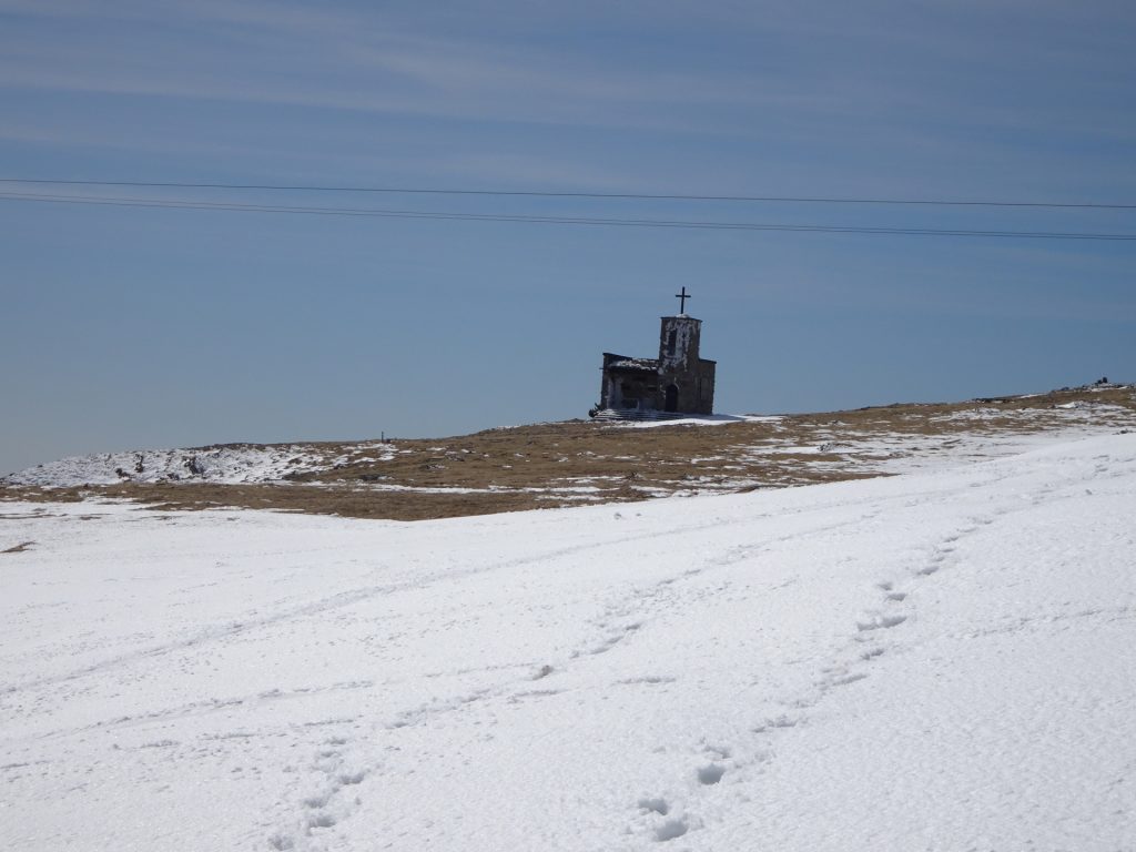
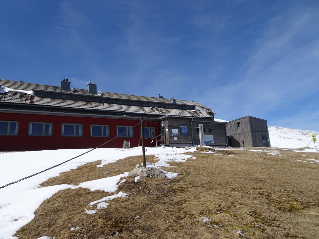
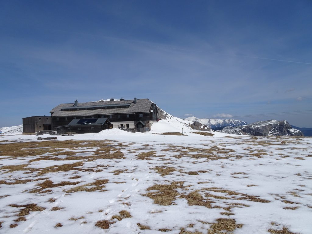
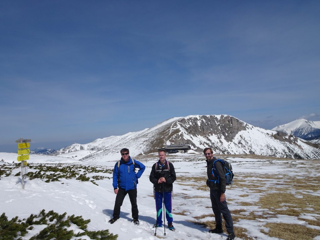
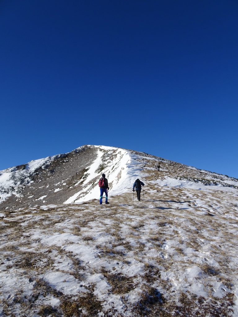
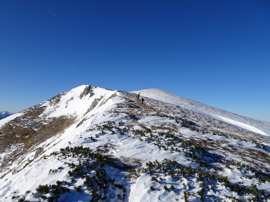
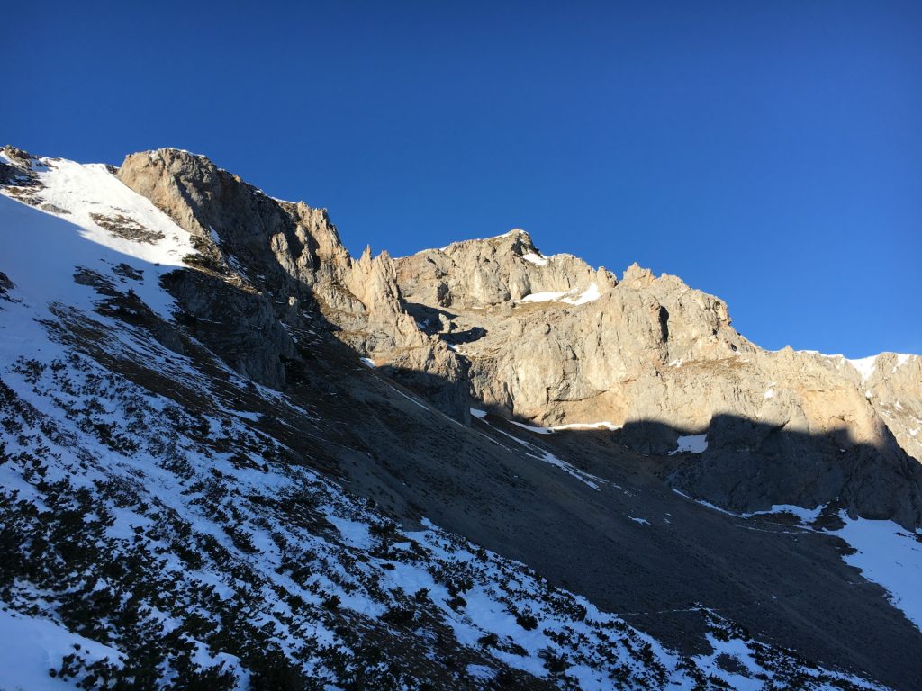
The tour starts at the parking Preiner Gscheid (GPS: 47.676040, 15.723129) and follows up an easy and winding forest road (which can be short-cut by walking up the slope). At the Siebenbrunnenwiese, the winding Schlagenweg trail starts which leads directly to the Karl-Ludwig Haus (partly open during Winter!). It then follows the trail towards the Raxkirchlein (small church) and then follows up the ridge to the Heukuppe (2007m) which is the highest point of the entire Rax plateau. The descent is done via the same route.
Tour Description
| 00:00 | Start at the parking lot Preiner Gscheid (GPS: 47.676040, 15.723129) and follow the trail upwards (slope). |
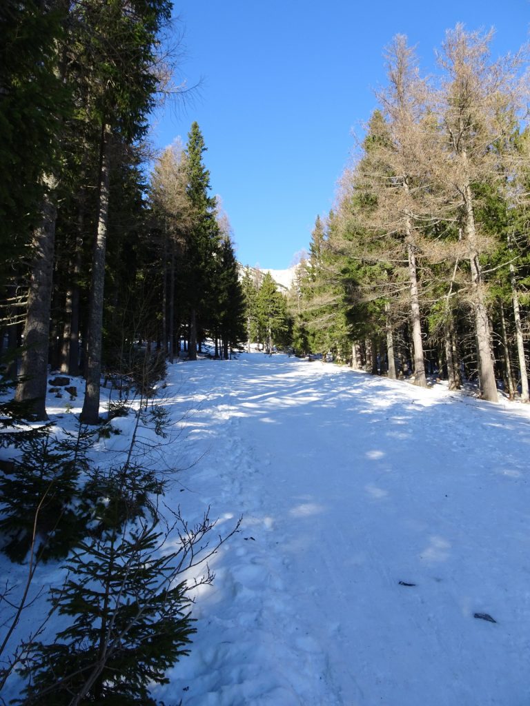
| 00:05 | Turn left into the forest road and follow this winding road (crosses the slope several time). |
| 00:30 | At the U-turn, stay on the forest road (do not (yet) go to Waxriegelhaus!) |
| 00:40 | At the Gflotzhütte (building), leave the forest road and follow the slope upwards. |
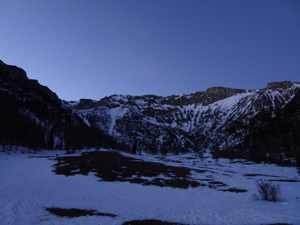
| 00:50 | At the Siebenbrunnenwiese, find the trail (straight ahead on left hand-side) that leads directly into the Schlangenweg. |
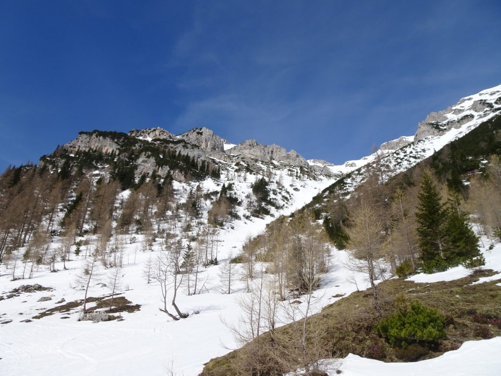
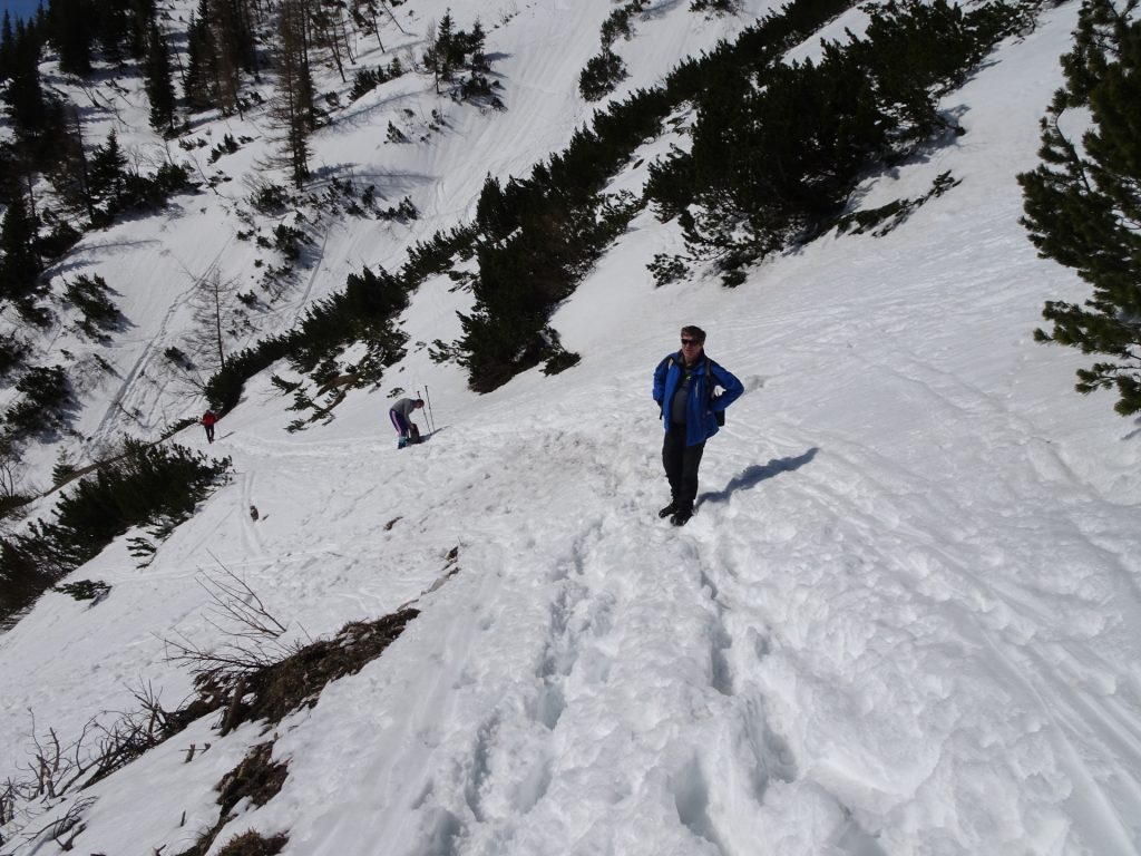
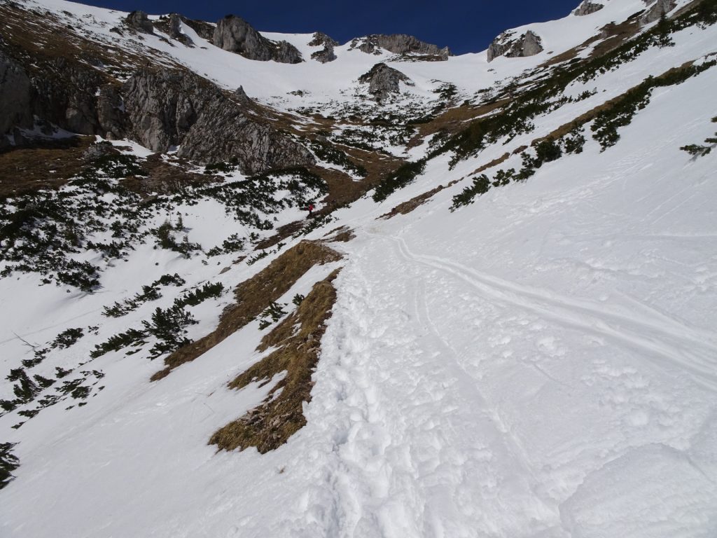
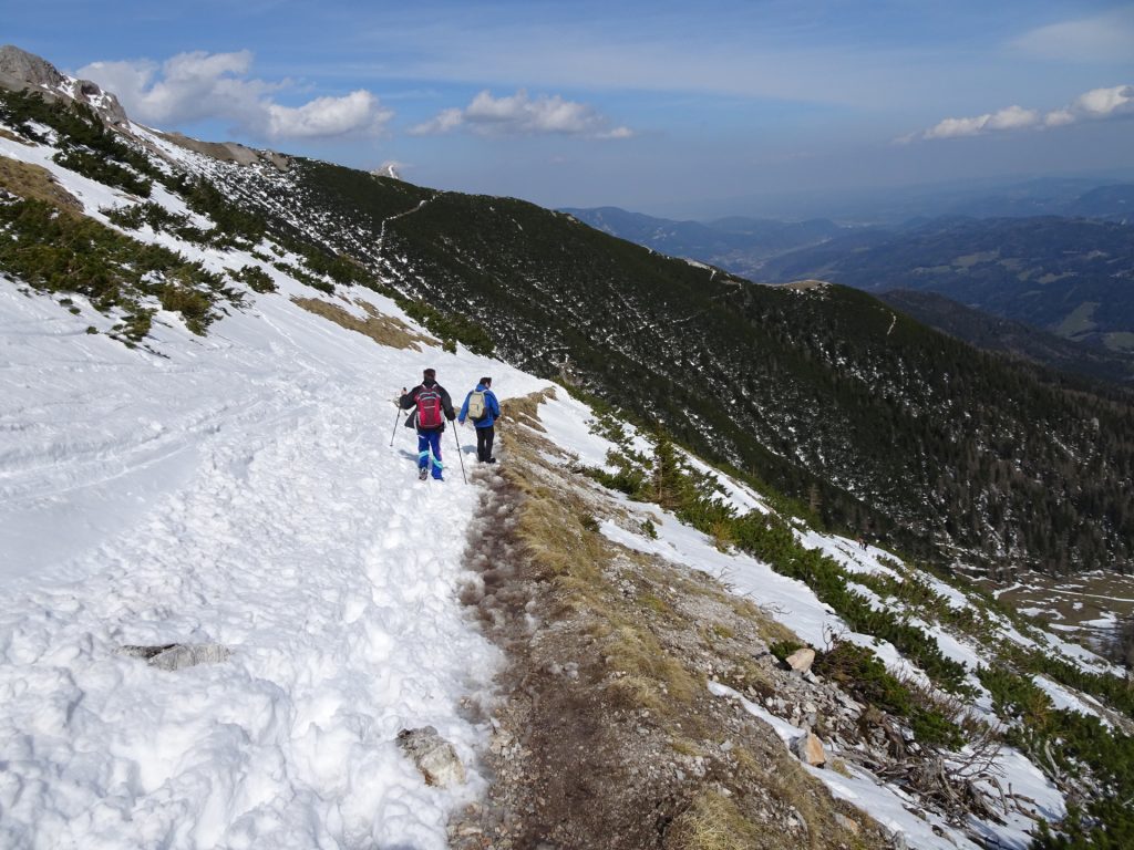
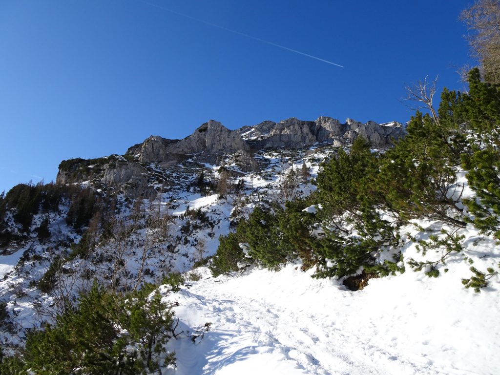
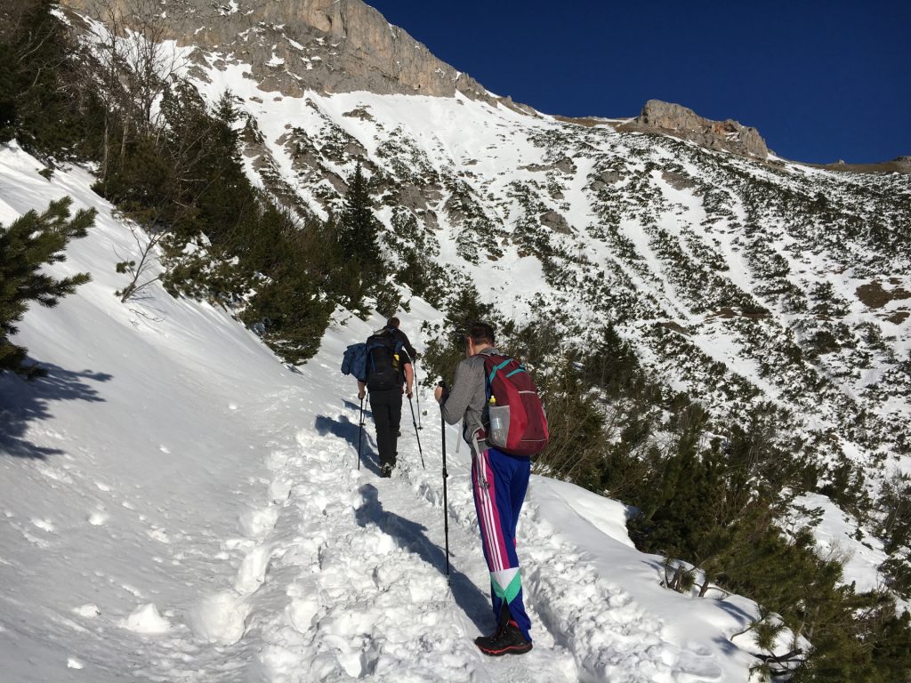
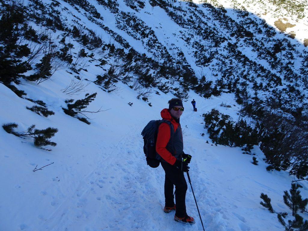
| 01:00 | Follow the winding Schlangenweg upwards. |
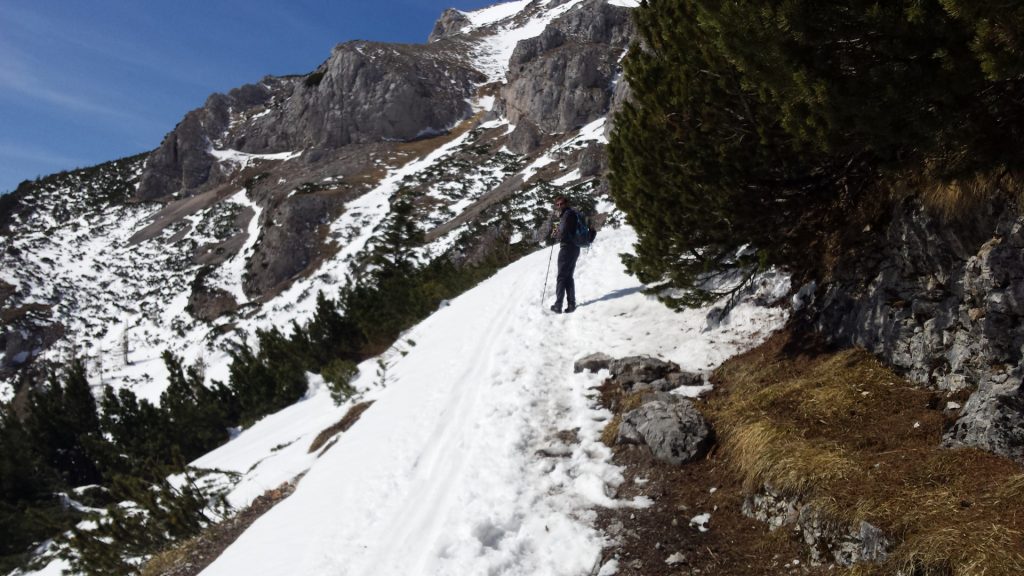
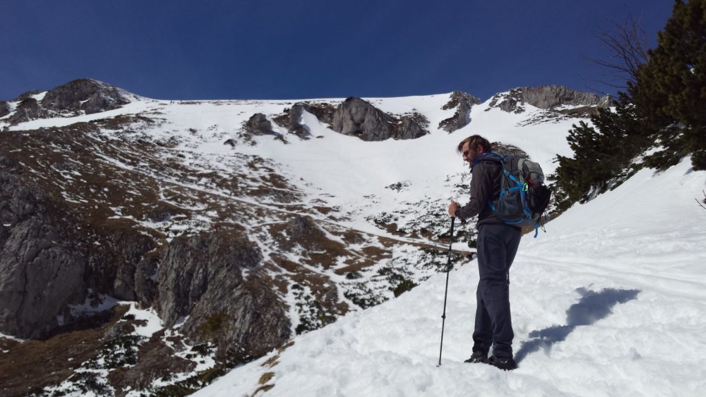
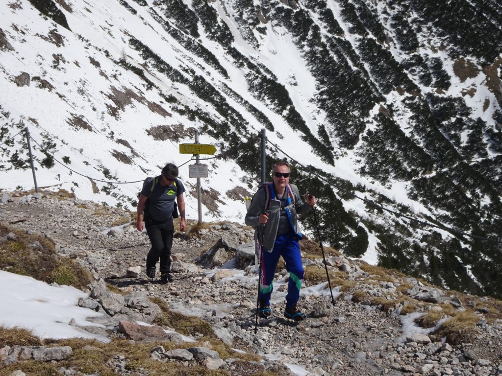
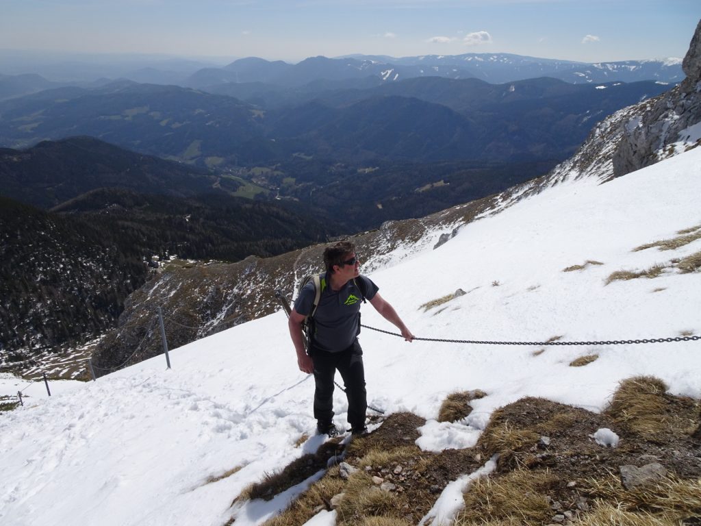
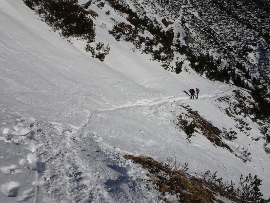
| 01:45 | Depending on the conditions (snow/ice, wet) either take the easy tour (turn right) or the direct tour (straight ahead). Both end at the Karl-Ludwig-Haus. |
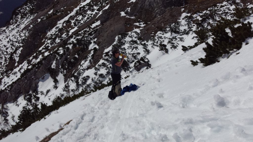
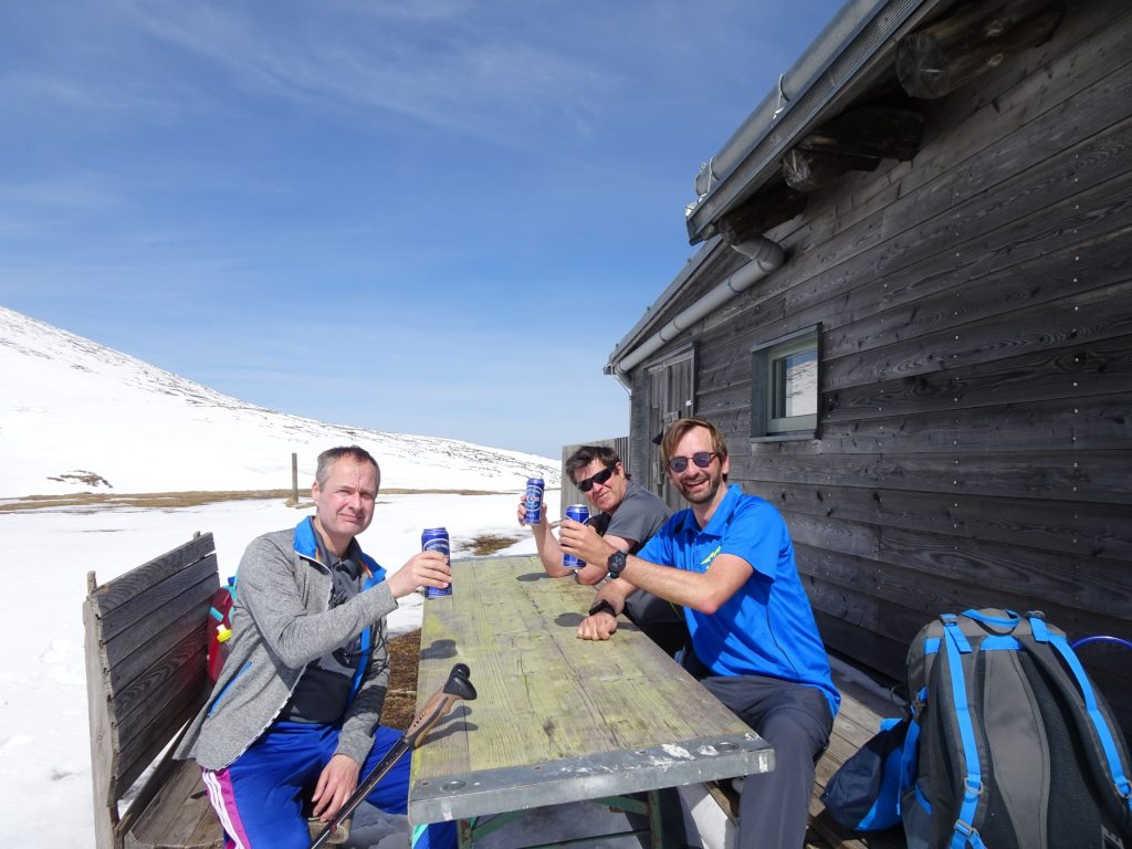
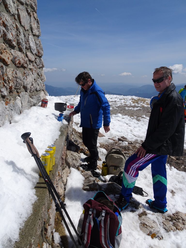
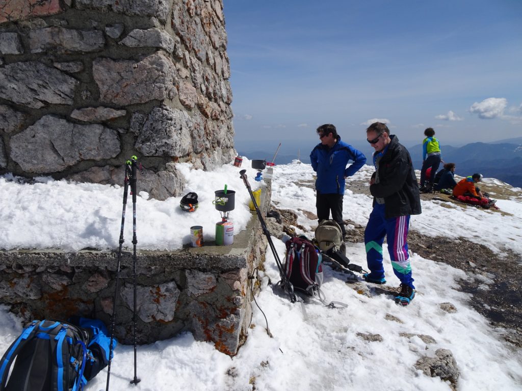
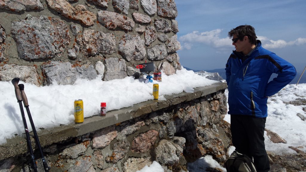
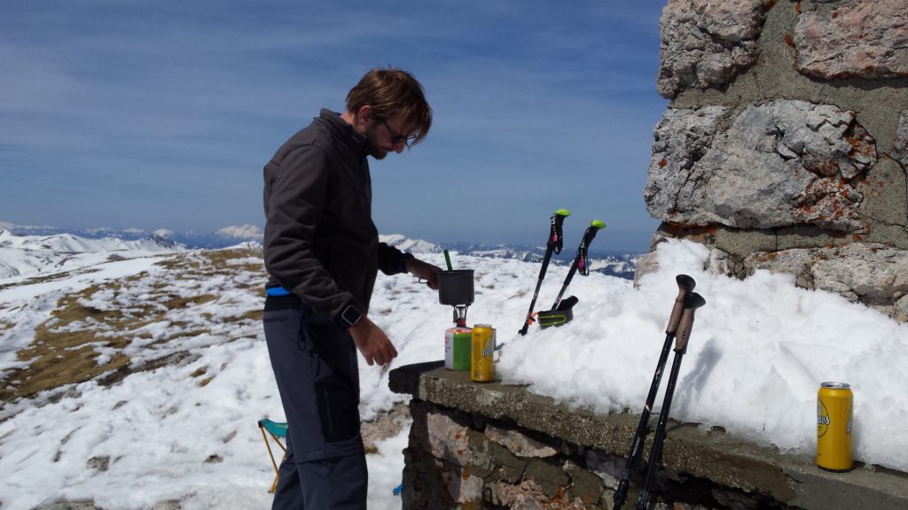
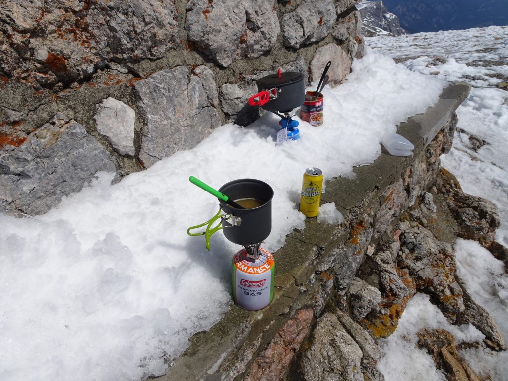
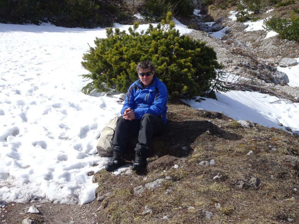
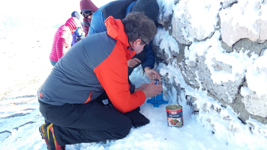
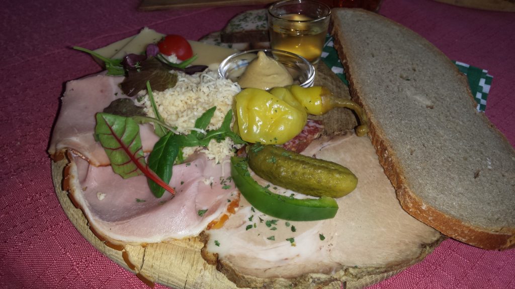
| 02:00 | Break at the Karl-Ludwig-Haus. If open, enjoy a delicate meal (), or enjoy a self-brought refreshment () otherwise. |
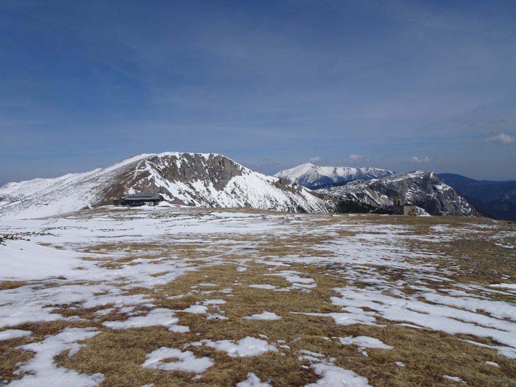
| 02:15* | Follow the trail towards the Raxkirchlein (the small church in the south). |
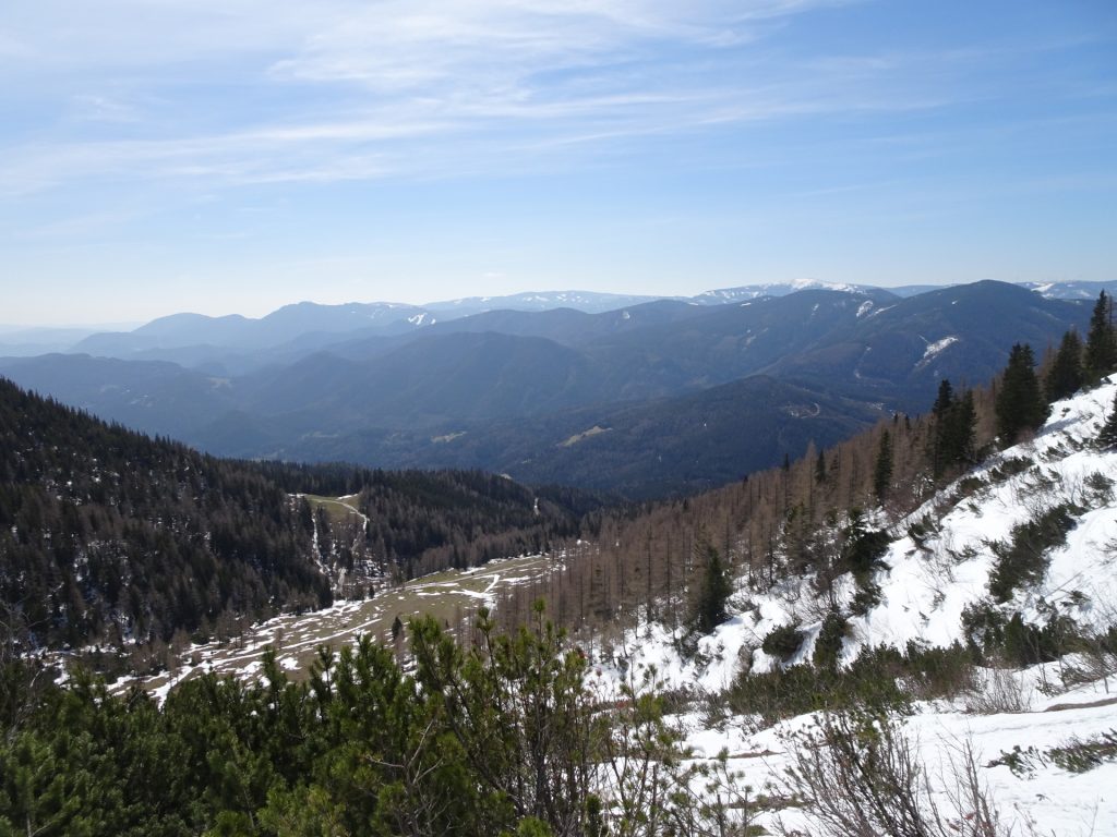
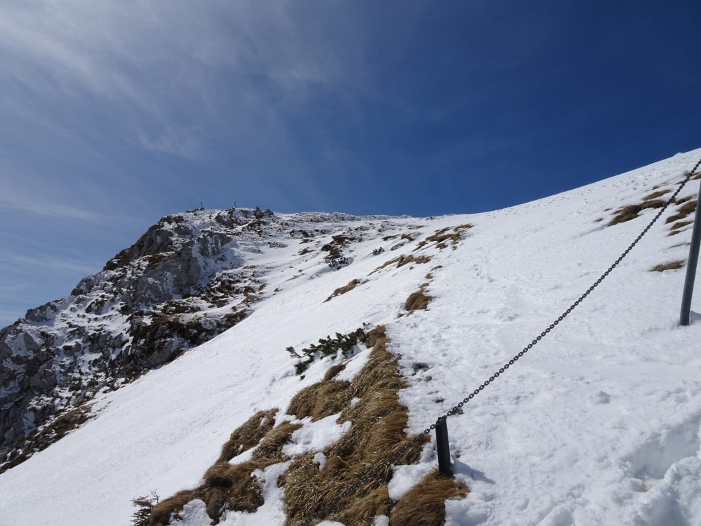
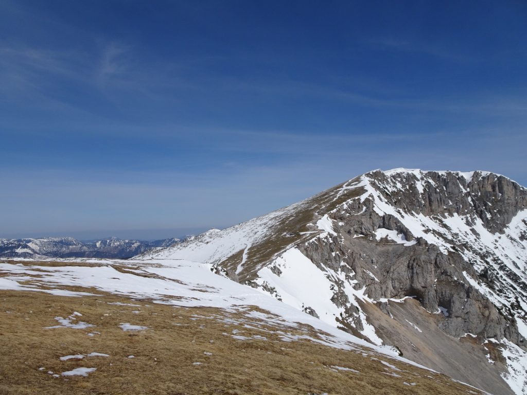
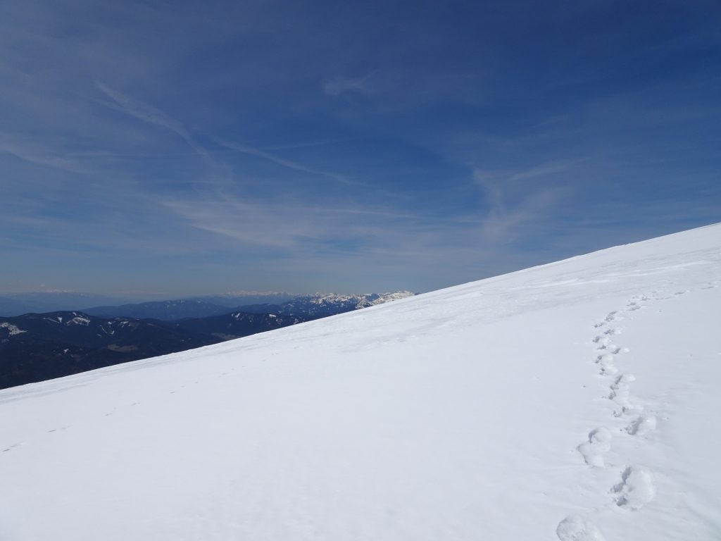
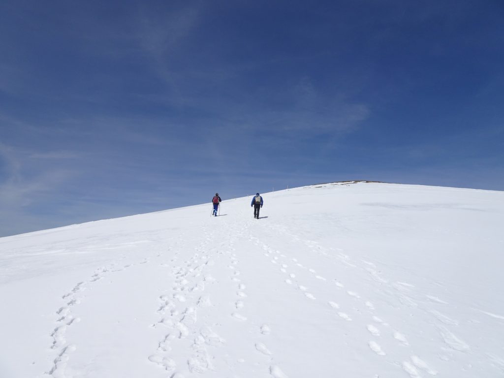
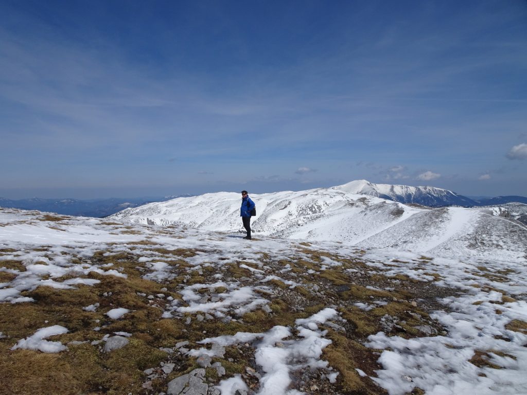
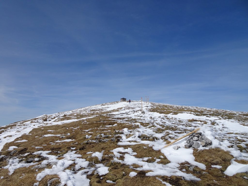
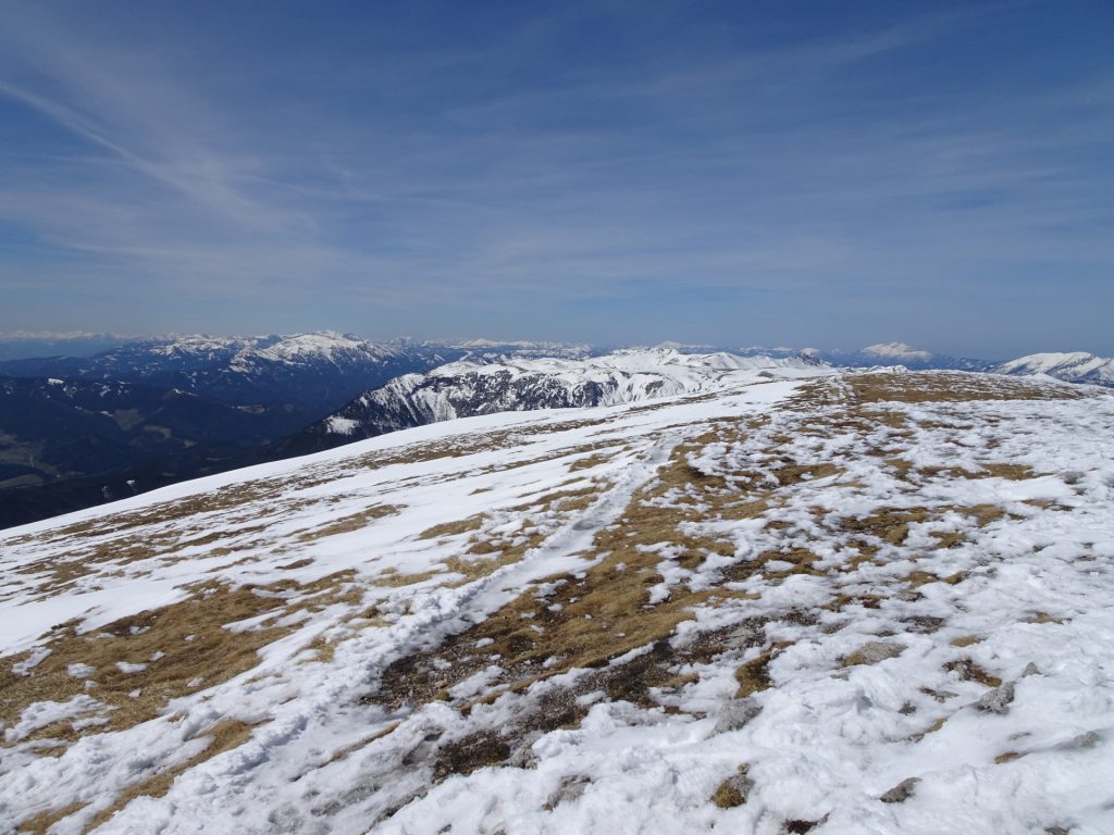
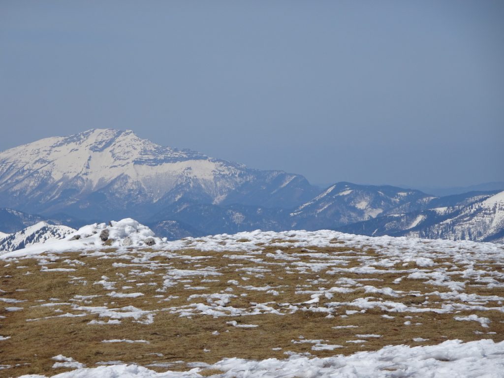
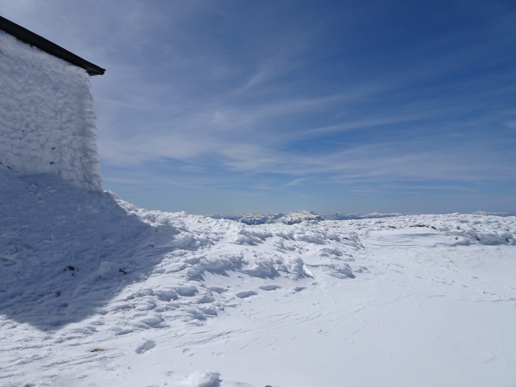
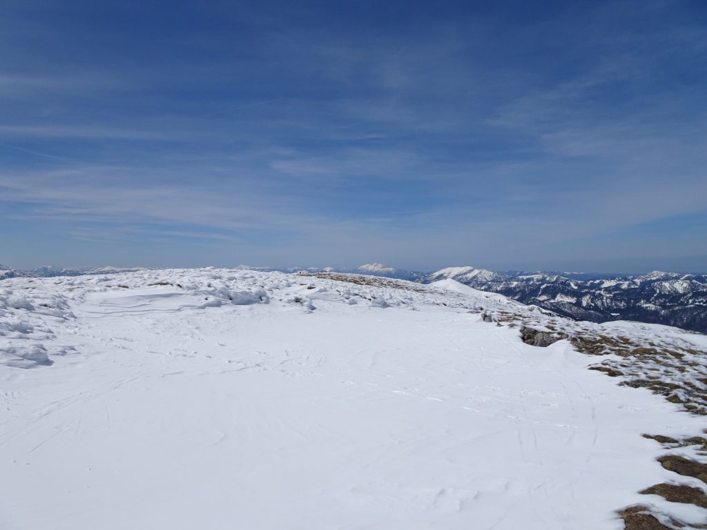
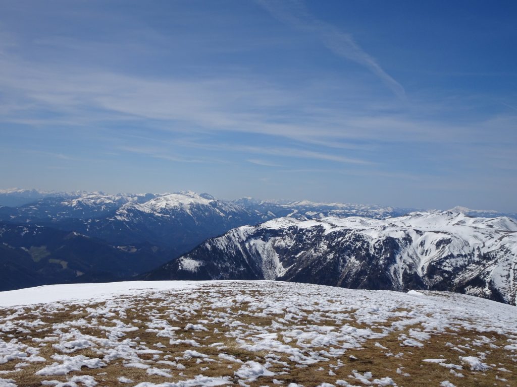
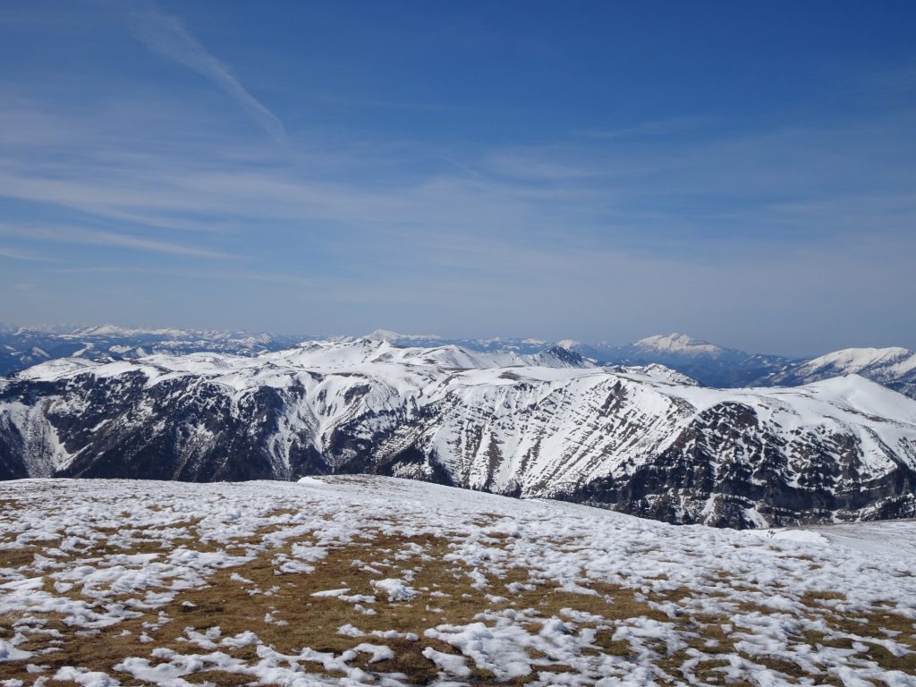
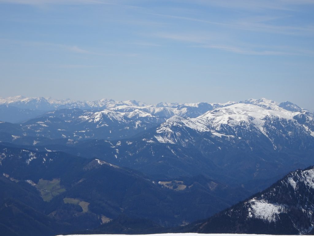
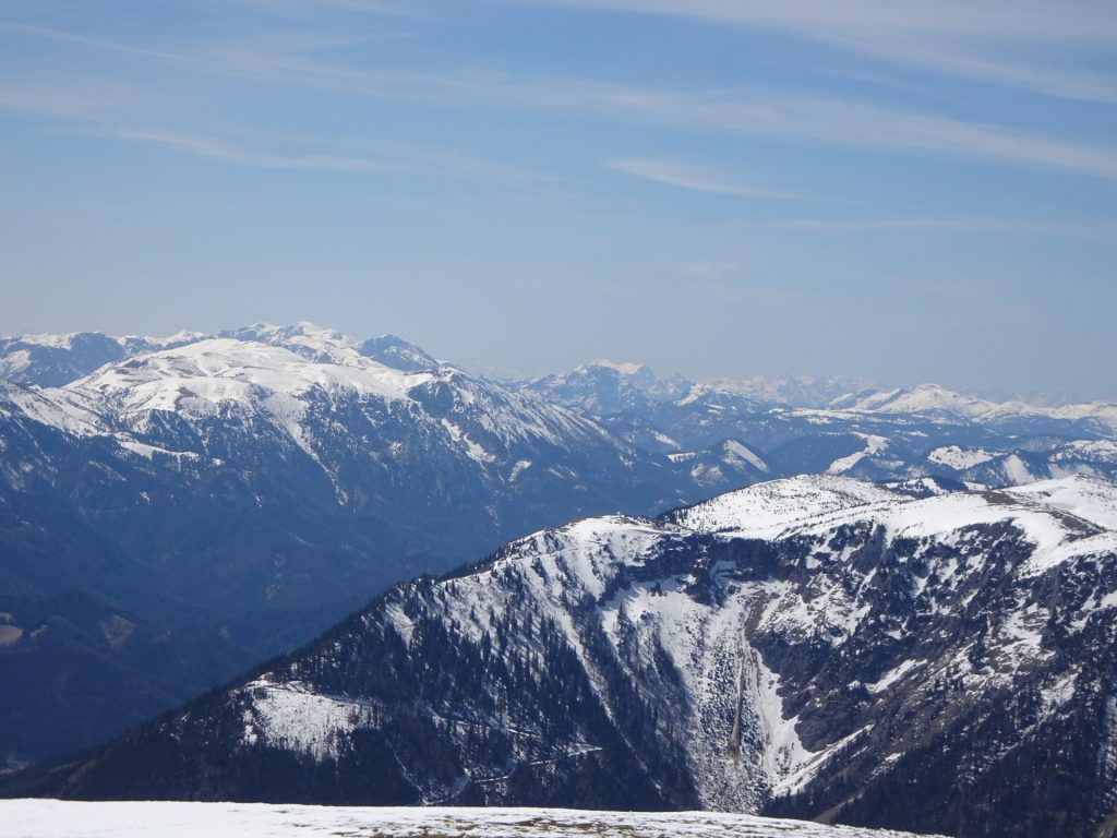
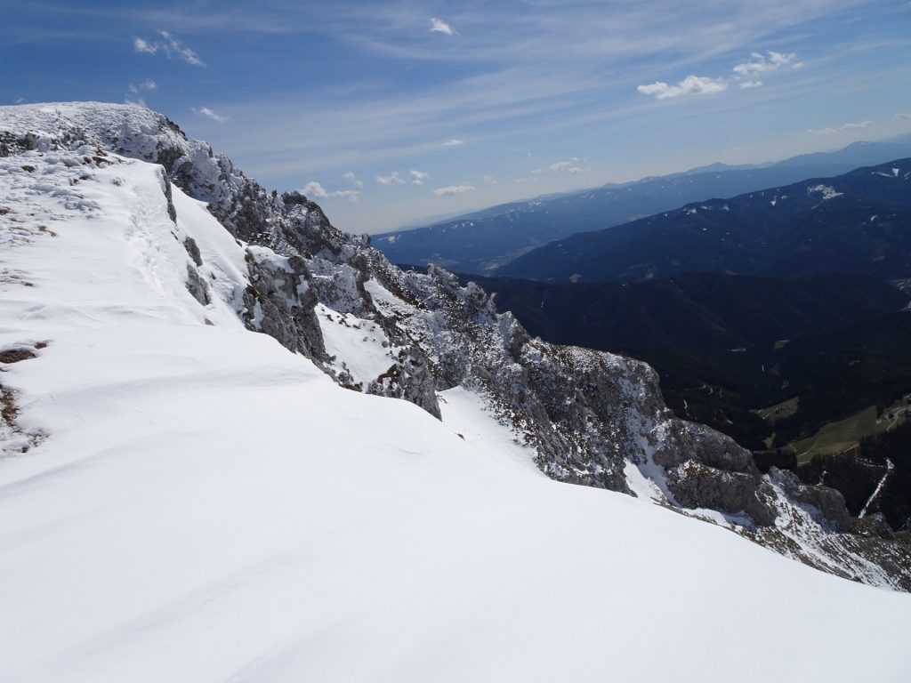
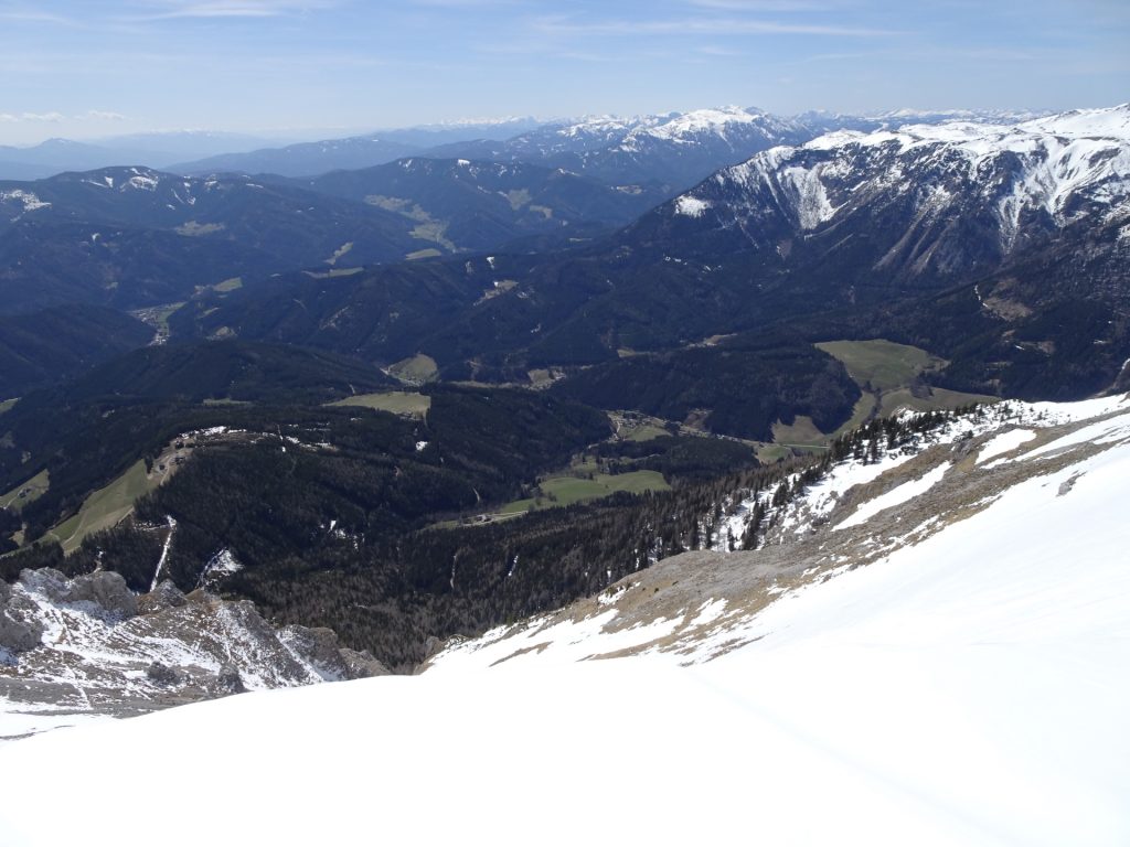
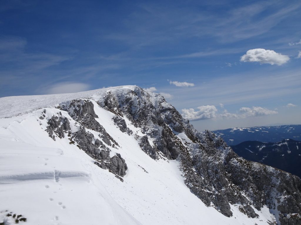
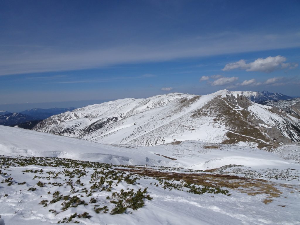
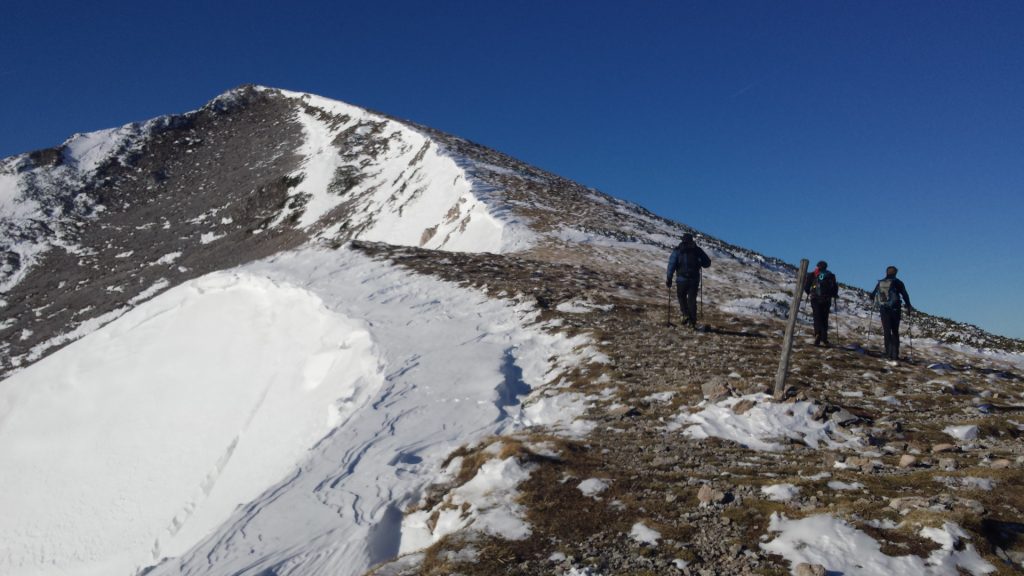
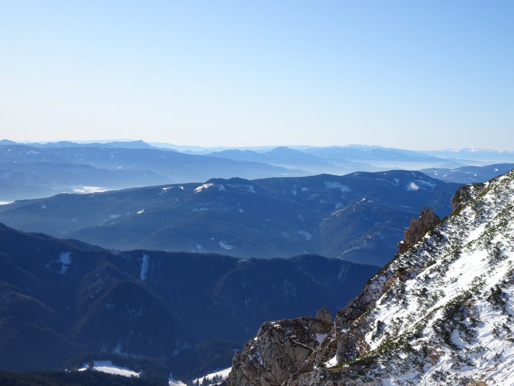
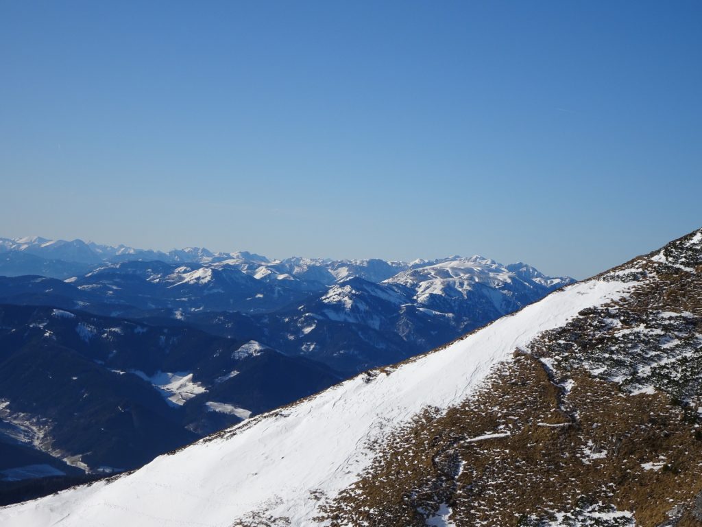
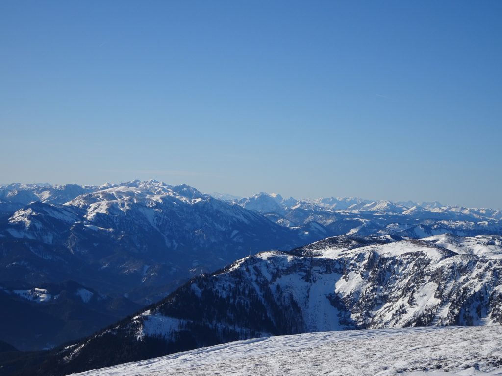
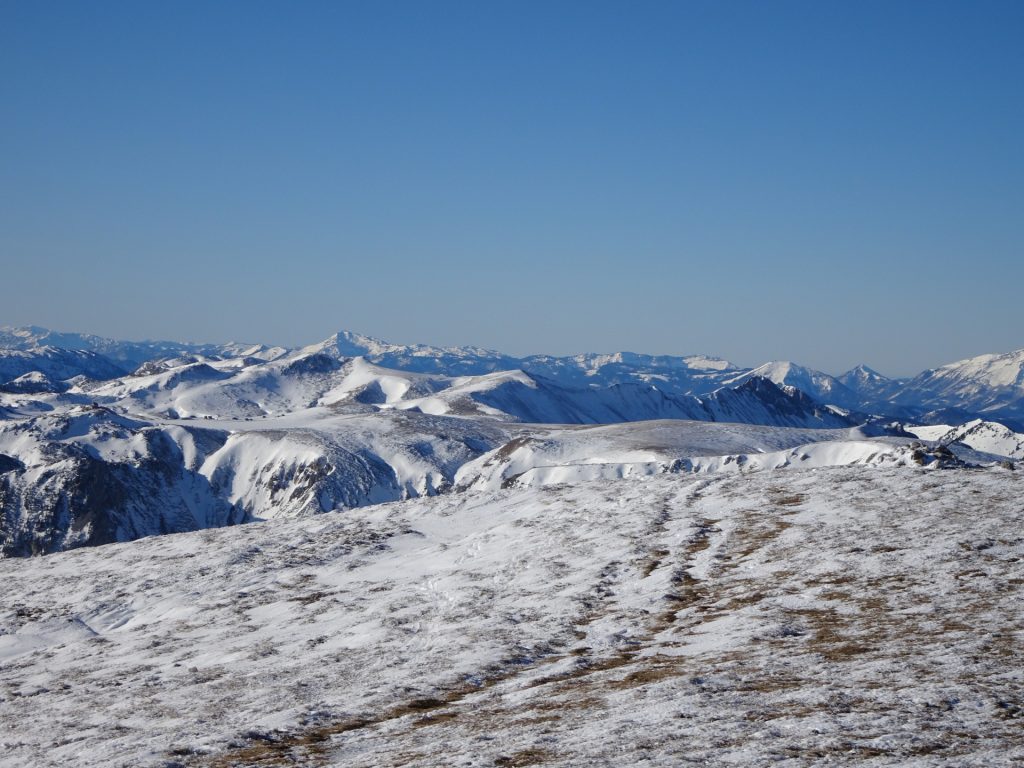
| 02:16 | Follow the trail following the ridge upwards to the peak – allowing impressive distance views. |
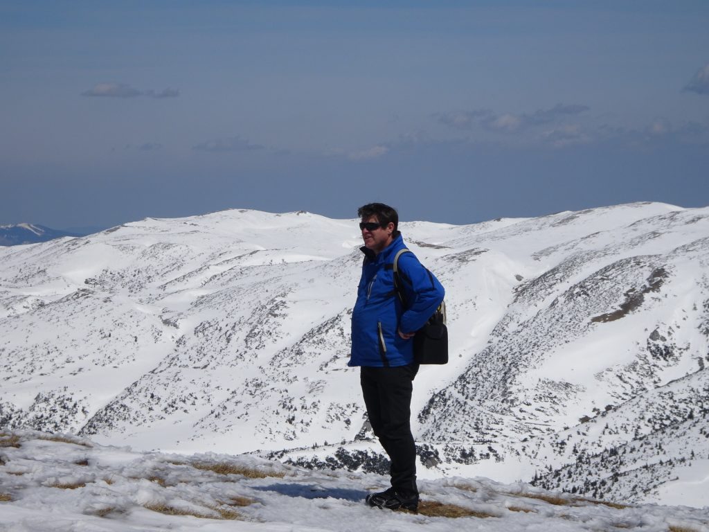
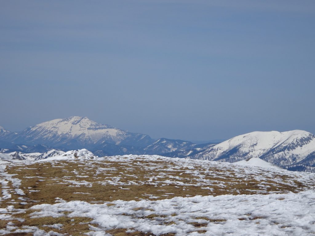
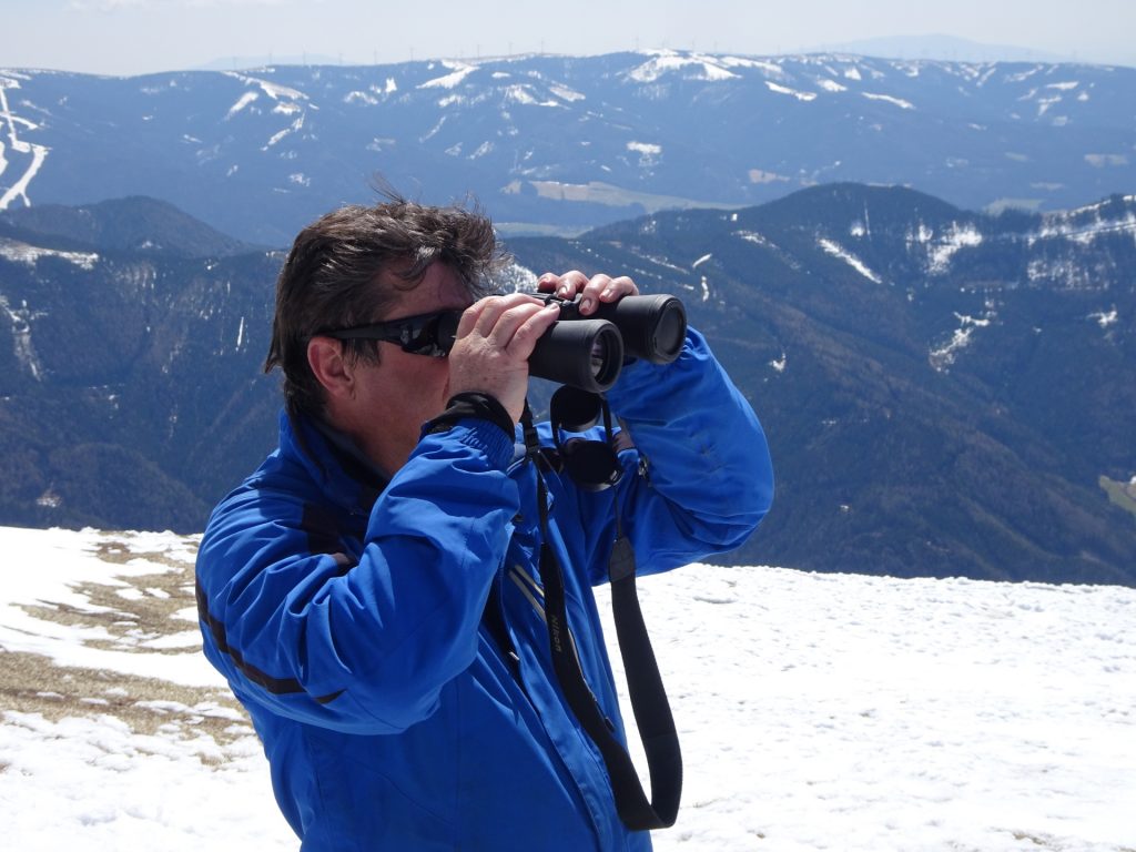
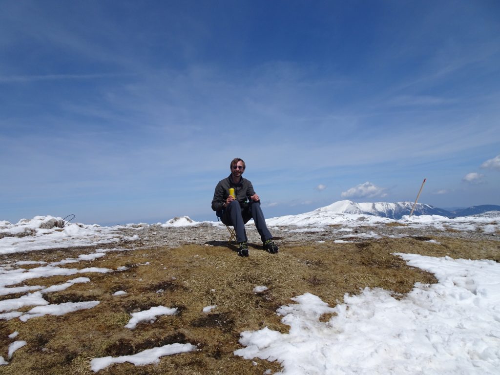
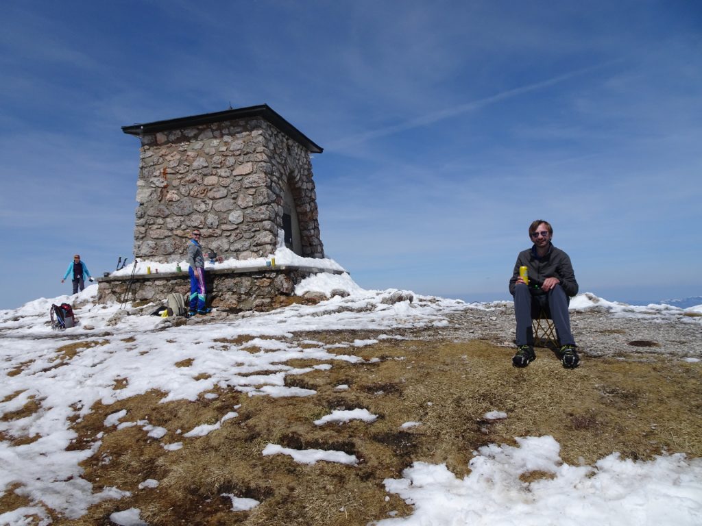
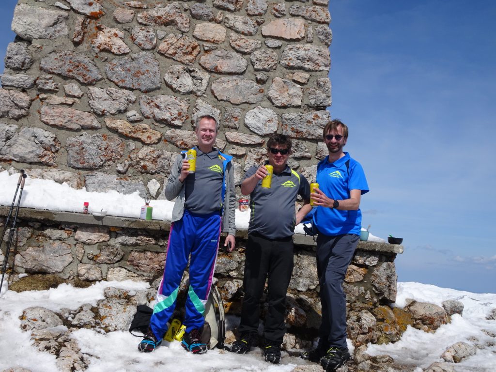
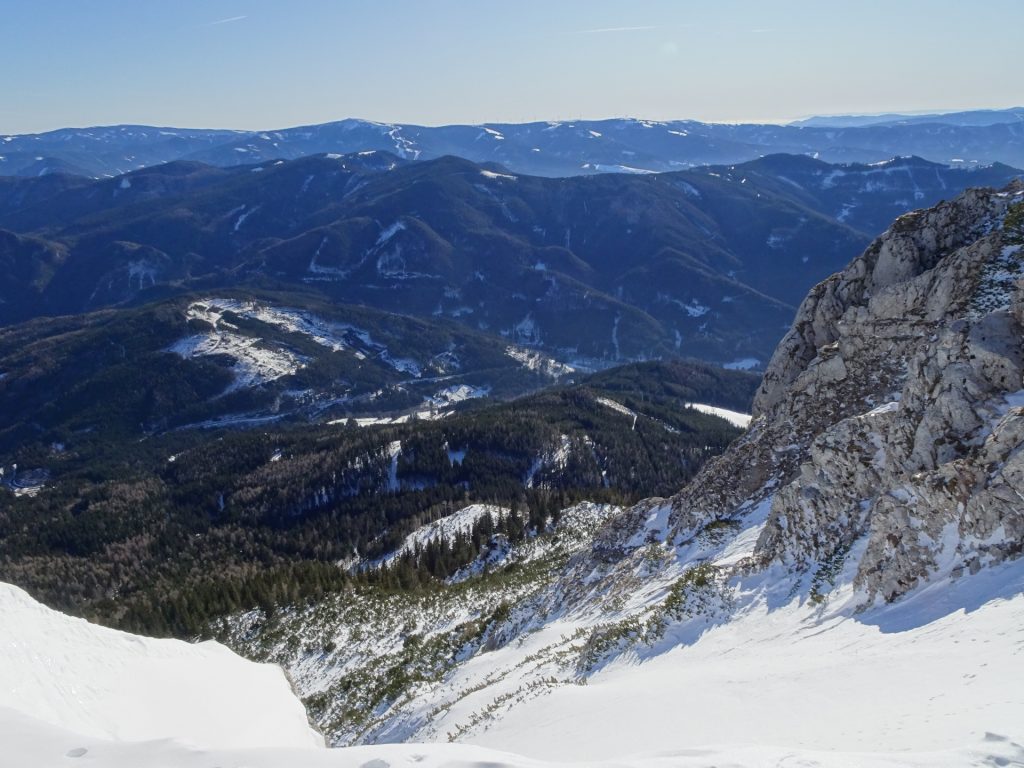
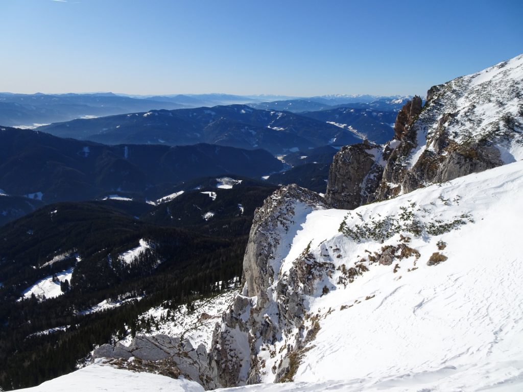
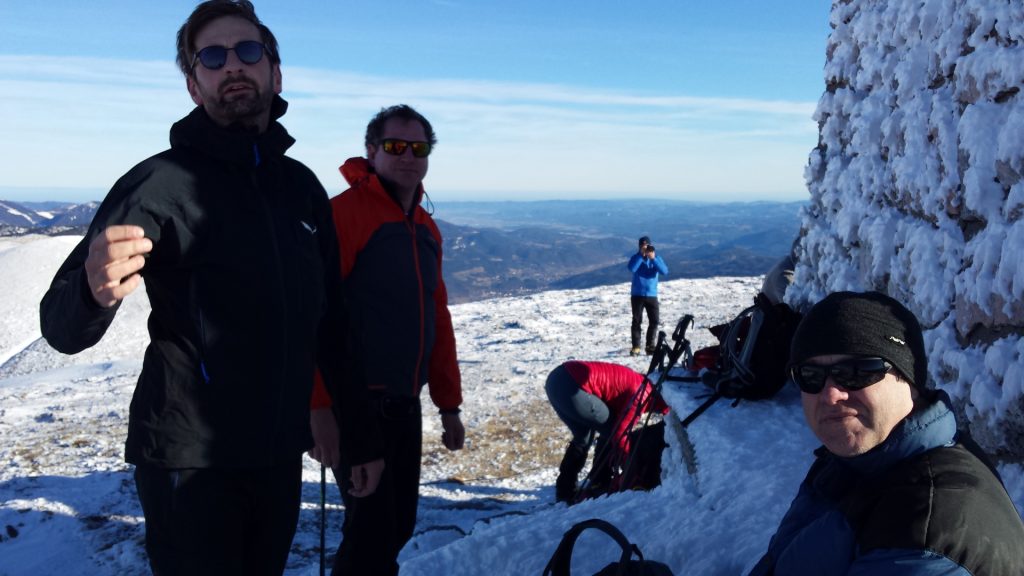
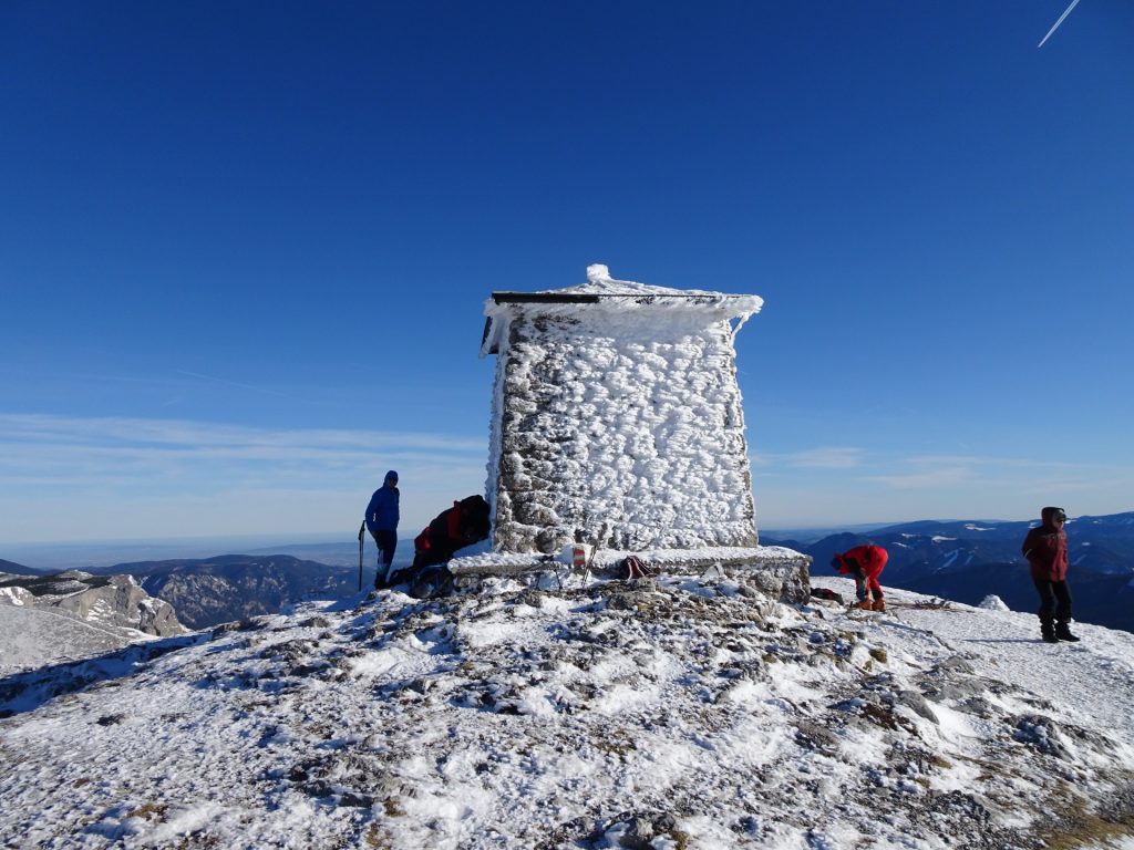
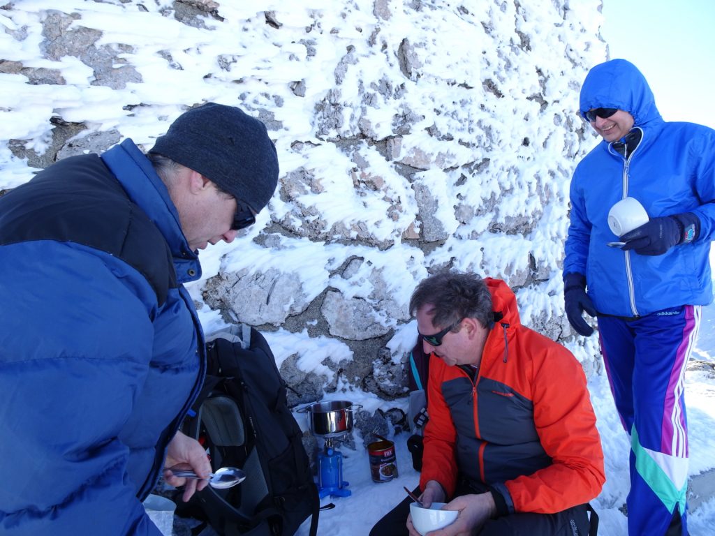
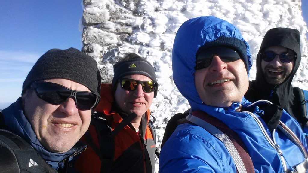
| 02:55 | Break at the peak: Enjoy the amazing mountain scenery at the Heukuppe (best enjoyed with a self-brought ). |
| 03:55 | Follow the same route downhill. |
| 04:00 | At the crossing, turn left and descent directly towards Karl-Ludwig Haus. |
| 04:20 | Descent via the Schlangenweg. |
| 05:05 | At the crossing, turn left and follow the road / trail towards the Waxriegelhaus. |
| 05:10 | Well deserved break ( ) at the Waxriegelhaus. |
| 06:45 | Follow the route back towards the car parking. You might shortcut the forest road by using the slope. |
| 07:30 | Arrival at the parking. This is the end of the tour. |
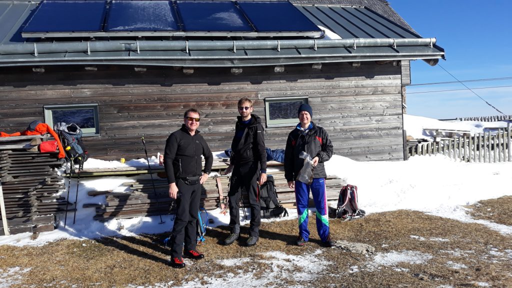
*: The hut was closed so we only had a short break ().
At a glance
| Level | easy-moderate |
| Technique | |
| Shape / Fitness | |
| Experience | |
| Scenery | |
| Best time in the year | |
|
Jan
Feb
Mar
Apr
May
Jun
Jul
Aug
Sep
Oct
Nov
Dec
|
|
General Tour Data
| Area: | Rax/Schneeberg Group, Lower Austria, Austria | |
| Distance: | 12km | |
| Ascent: | 930m (2h 50min) | |
| Descent: | 930m (1h 55min) | |
| Highest Pt: | 2004m | |
| Lowest Pt: | 1074m | |
| Duration: | 5h 20min (without breaks) 7h 30min (with breaks) |
|
| Stop/Rest: | Karl Ludwig Haus (1804m) Waxriegelhaus (1361m) |
|
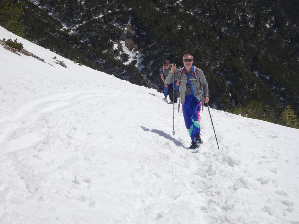
| Equipment: | Backpack with standard hiking equipment Snacks and enough water Sun & Weather protection Camera 1x “Gipfelbier” () If done in Winter: Chains (“Grödeln”) or crampons In case hut is closed: • Food & Additional “Gipfelbier” () Cold-weather gear (Windstopper) Headlamp |
| Download GPX | ||
| O | Tour at outdooractive.com |




































Leave a Reply