
Hike up Tirolerkogel via the impressive Falkenschlucht and back via the Kalte Kuchel
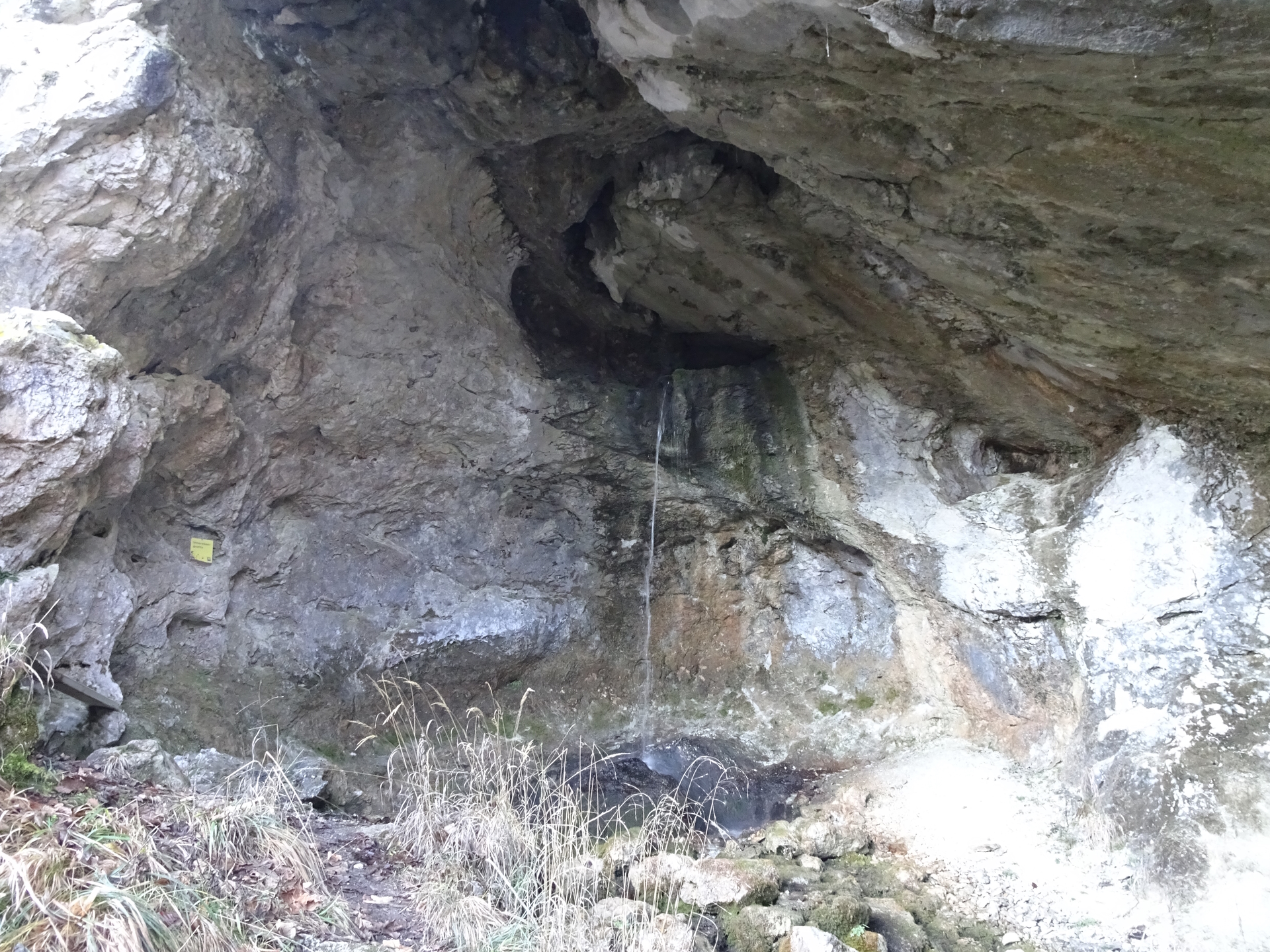
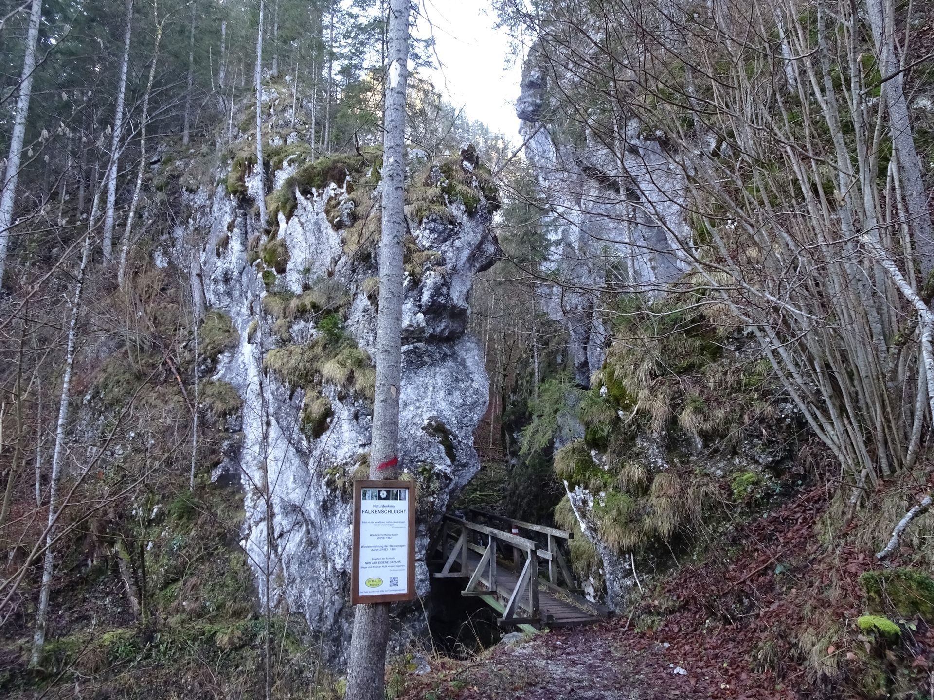
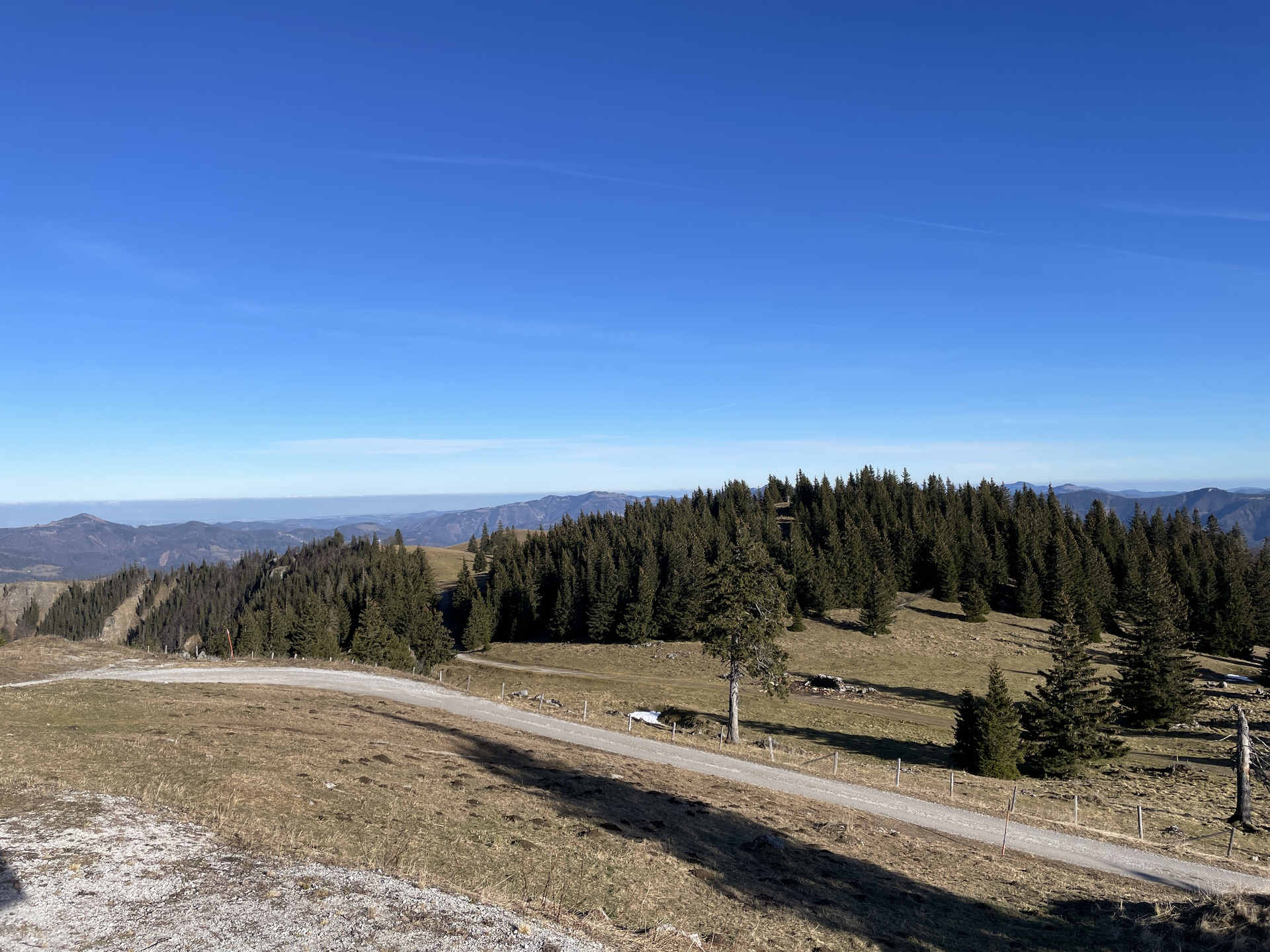
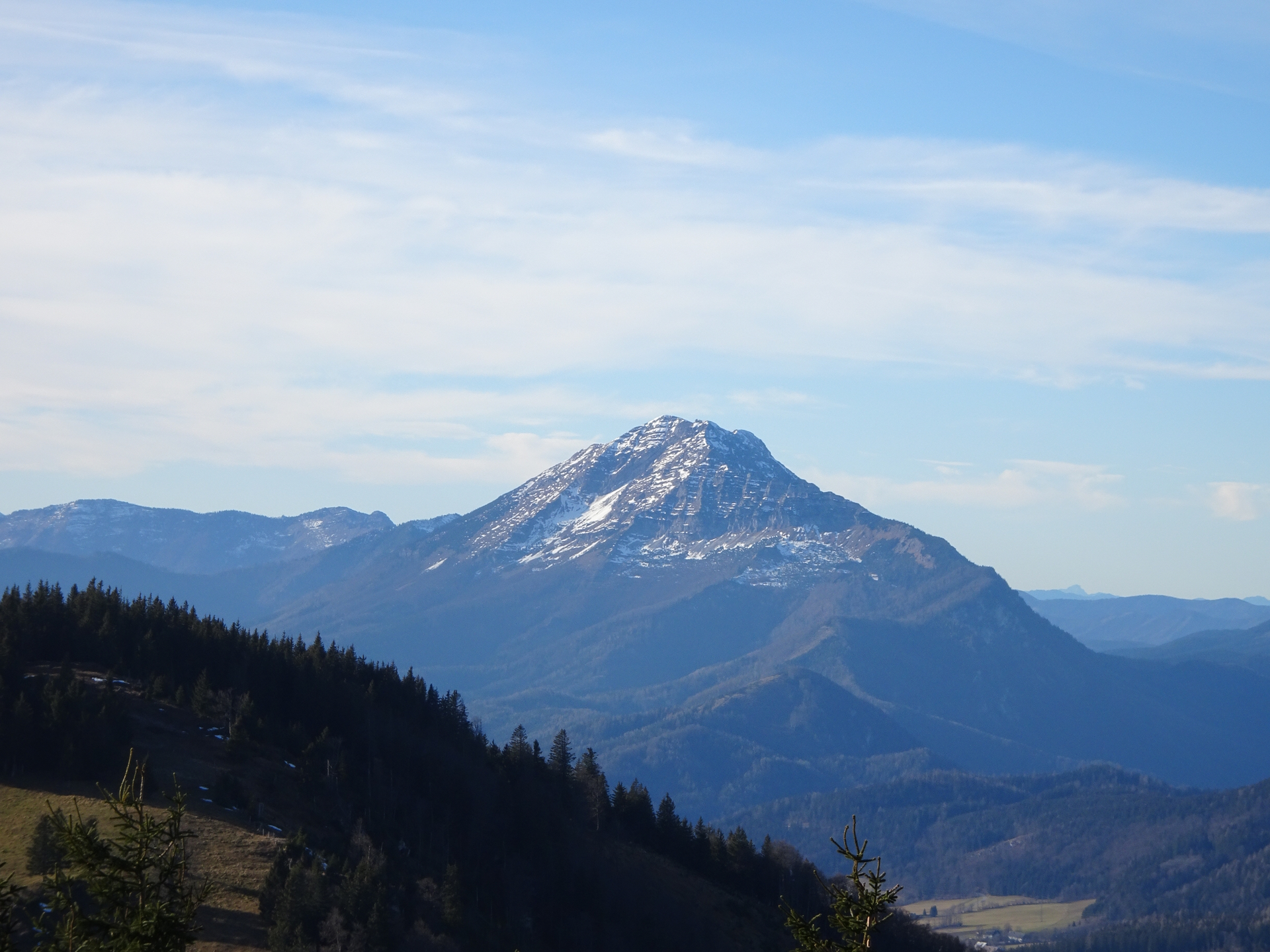
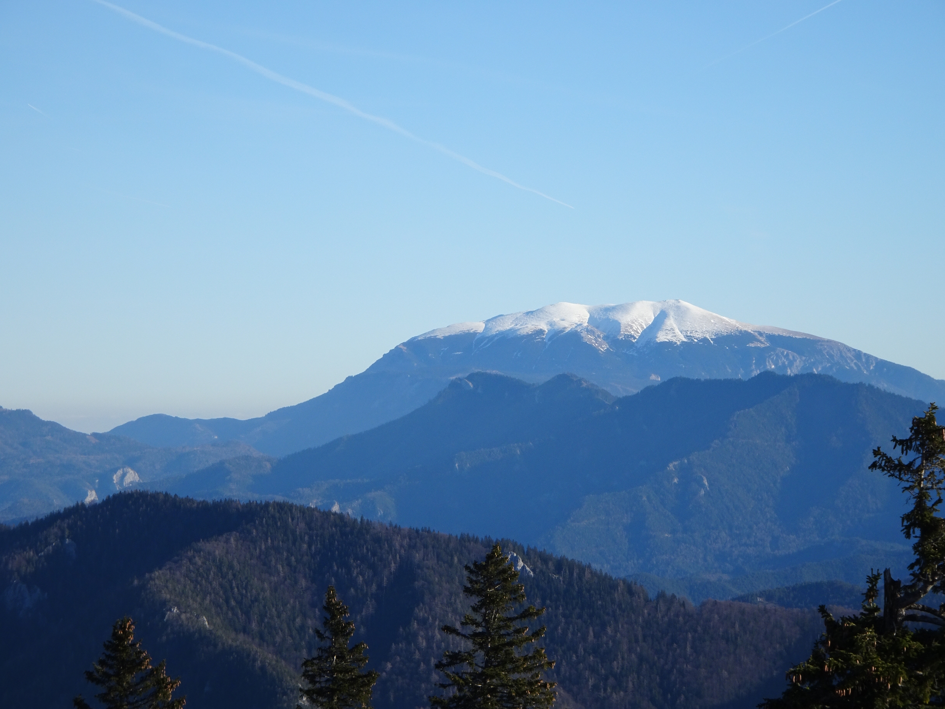
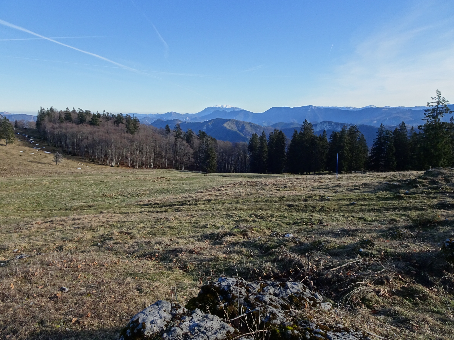
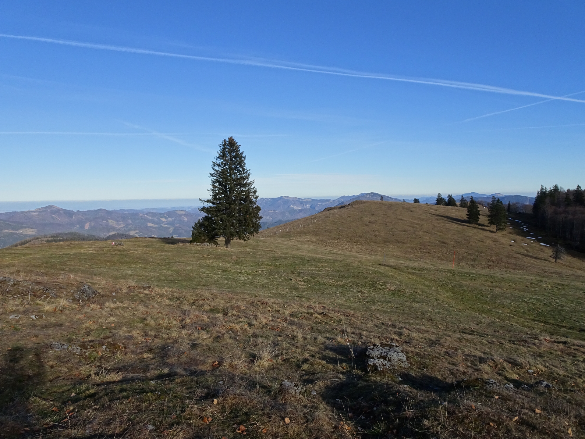
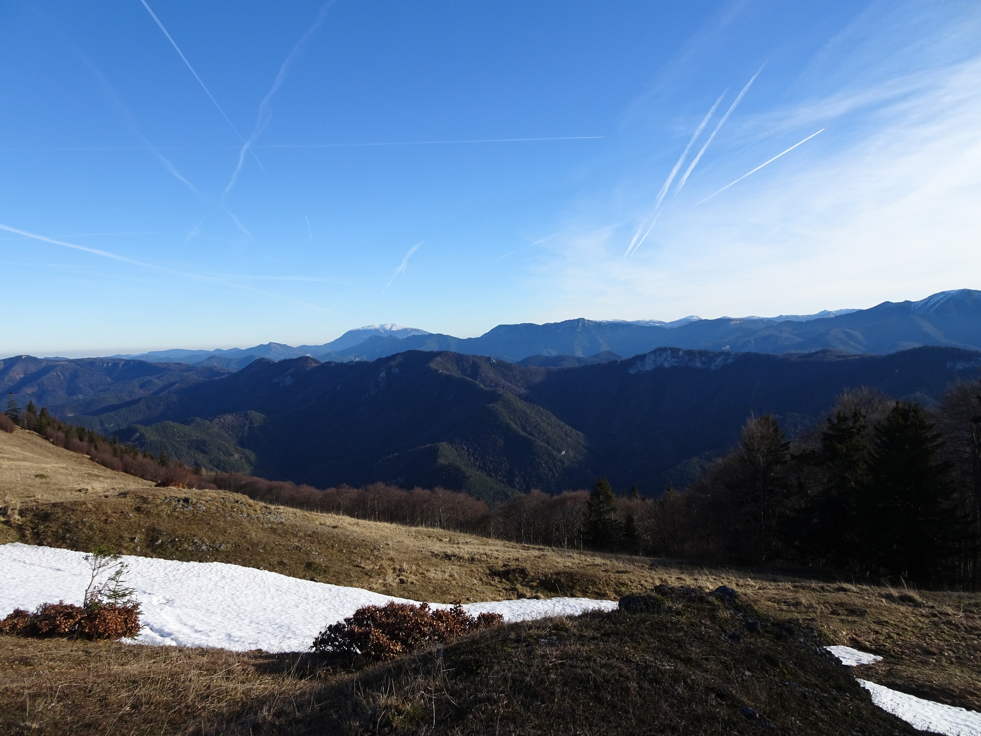
The tour starts at the parking Weidenaurotte and follows first the hiking trail 06A towards the Eiseners Tor and then along the river and its various and impressive sources towards the entrance of the Falkenschlucht gorge. First, the tour detours up to the Bleichhaushöhle cave with its waterfall. After hiking back a few meters, the tour then follows the marked trail 06 through the impressive Falkenschlucht. After a few meters, a detour to the Nixhöhle is recommended. The tour then follows the marked hiking trail towards Annabergerhaus over impressive mountain pastures before it reaches the Tirolerkogel peak next to the Annabergerhaus. After a deserved break, the tour then follows the marked trail eastwards, allowing stunning views towards the Ötscher. The tour then uses the right trail towards Kalte Kuchel and descends scenic back to Weidenaurotte.
Tour Description
Tour Description
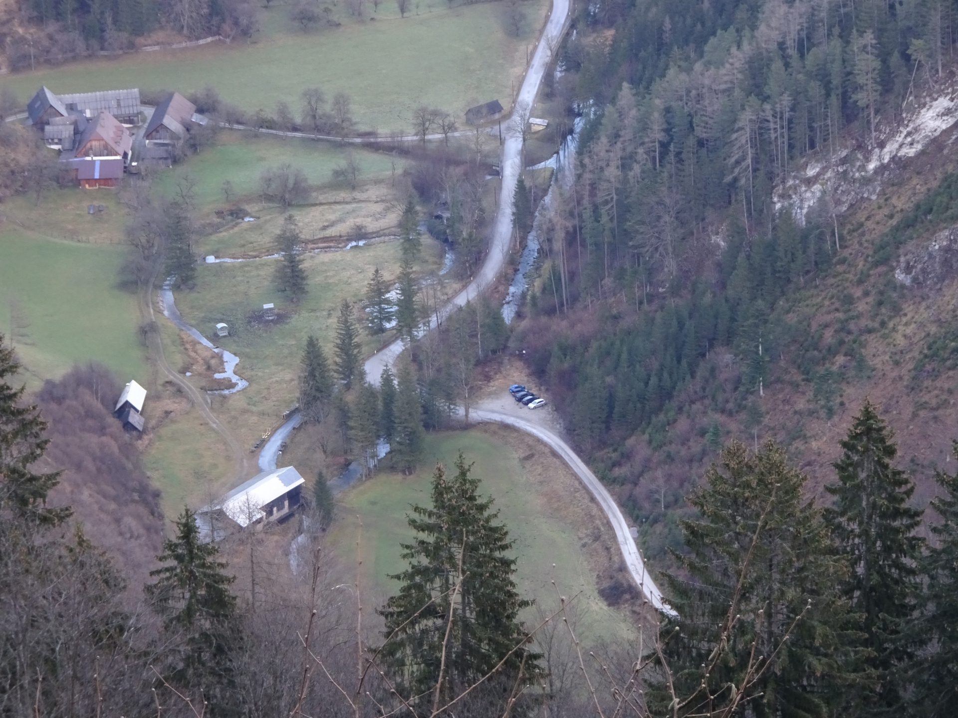
| 00:00 | The tour starts at the parking Weidenaurotte (GPS: 47.893745, 15.467585) and first follows the red-white-red marked hiking trail southwestwards bypassing the Eisernes Tor. |
| 00:10 | Bypass the Eisernes Tor and continue following the gravel street. |
| 00:20 | At the crossing, keep right and follow the marked hiking trail. |
| 00:25 | At the crossing, turn right and continue following the marked hiking trail towards Falkenschlucht (see signposts). |
| 00:50 | At the crossing and begin of the Falkenschlucht, keep right and follow the trail up to the Bleichhaushöhle. After the visit, hike back to the Falkenschlucht. |
| 01:00 | Follow the trail through the Falkenschlucht. |
| 01:05 | Optional detour: Turn left and follow the marked trail up to Nixhöhle. After exploring the cave, descent back to the crossing. |
| 01:35 | Continue following the trail through the Falkenschlucht. |
| 01:55 | At the exit of the Falkenschlucht, turn right and follow the forest road towards Annabergerhaus (see signposts). |
| 02:10 | At the crossing, turn right (U turn) and follow the trail towards Annabergerhaus. |
| 02:55 | Turn right and follow the marked trail which leads directly up to Annabergerhaus. |
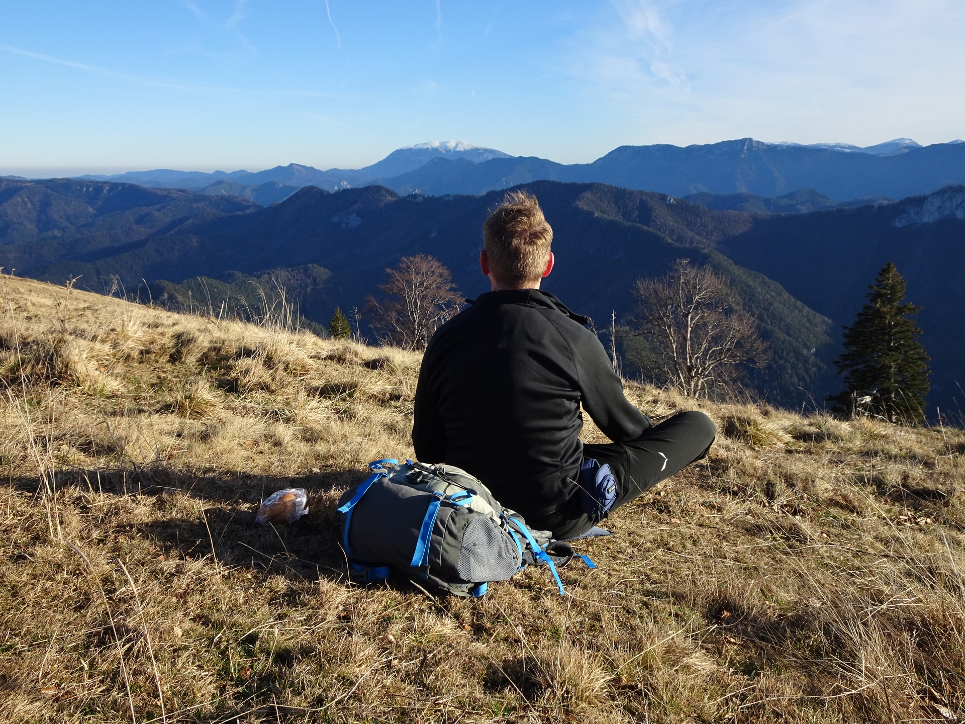
| 03:10 | Enjoy a well-deserved break at Annabergerhaus (). |
| 03:55 | Walk a few meters to the summit cross of Tirolerkogel and enjoy the amazing view from there. |
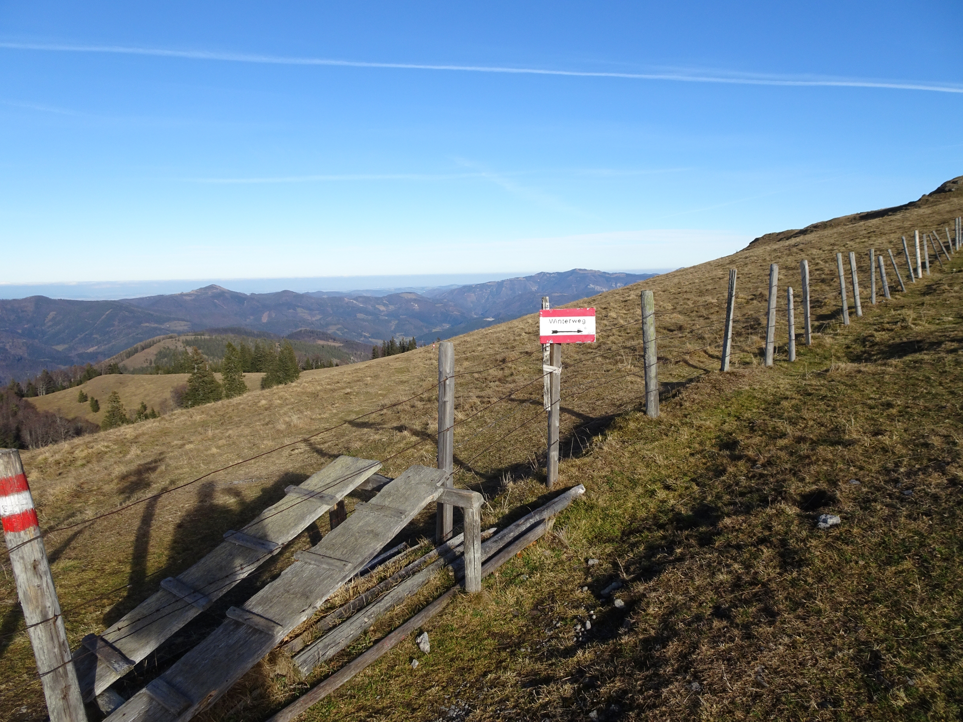
| 04:00 | Descent via the trail eastwards towards the forest and follow the hiking / skitouring route. |
| 04:15 | At the crossing (signpost), turn right and follow the trail downwards to the mountain road. Keep following the trail towards the Almhütte Kuchelalm. |
| 04:35 | Well-deserved break () at the Kuchelalm. In case closed, you might consider taking the break at one of the hills around it and enjoy the amazing view. |
| 04:50 | Follow the gravel road (Kuchelleiten downwards (southeast). |
| 05:10 | At the crossing, u-turn right (and at the next left) and follow the forest road south and then eastwards towards Weidenau. |
| 05:30 | Turn sharp right and follow the forest road eastwards down towards Weidenau. |
| 05:40 | Bypass the Jagdhaus Habritzer and keep left, furhter following the forest road downwards. |
| 06:20 | Back in Weidenaurotte, turn right and now follow the gravel road back to the village and then further to the parking. |
| 06:25 | Back at the parking Weidenau, end of the tour. |
General Tour Data
| Area: | Türnitzer Alpen, Lower Austria, Austria | |
| Distance: | 22km | |
| Ascent: | 1011m (2h 55min) | |
| Descent: | 1020m (2h 30min) | |
| Highest Pt: | 1379m | |
| Lowest Pt: | 515m | |
| Duration: | 5h 30min (without breaks) 6h 25min (with breaks) |
|
| Stop/Rest: | Annabergerhaus (1377m) | |
| Equipment: | Backpack with standard hiking equipment Comfortable hiking shoes Snacks, Food and enough water 1x Gipfelbier Sun & Weather protection Camera |
| Download GPX | ||
| O | Tour at outdooractive.com |
At a glance
| Level | moderate |
| Technique | |
| Shape / Fitness | |
| Experience | |
| Scenery | |
| Best time in the year | |
|
Jan
Feb
Mar
Apr
May
Jun
Jul
Aug
Sep
Oct
Nov
Dec
|
|










Leave a Reply