
Stage 3 of the AlProbstEberl® long distance trail from Seewiesen via Gußwerk to Mariazell
 |
The AlProbstEberl® long distance trail combines in 3 stages a tour through the Hochschwab area, starting from the iconic “Grüner See” at Tragöß and ends in Mariazell. The entire trail is 70 km long and 3.000 meters in ascent. It is normally done in 3 days, starting in Tragöß and ending in Mariazell. Both, the start and the end are perfectly reachable via public transportation. |
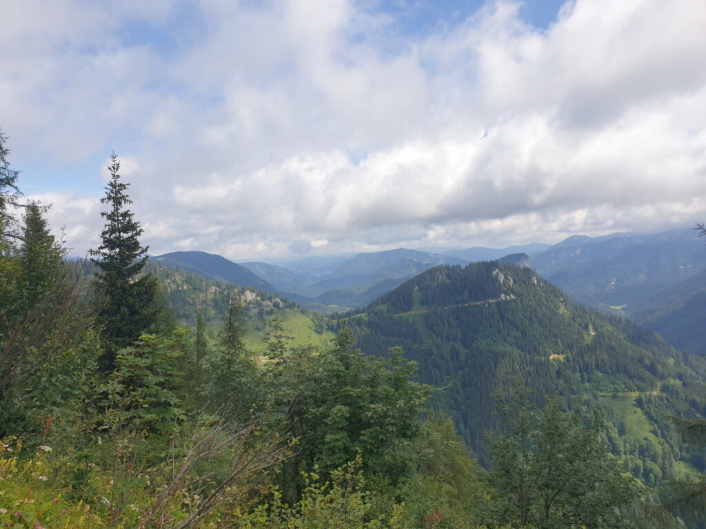
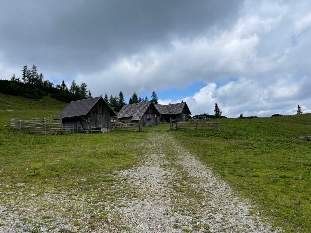
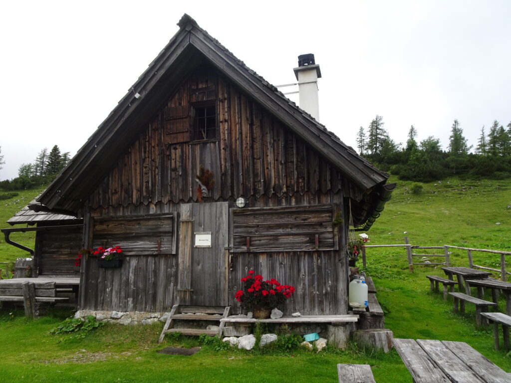
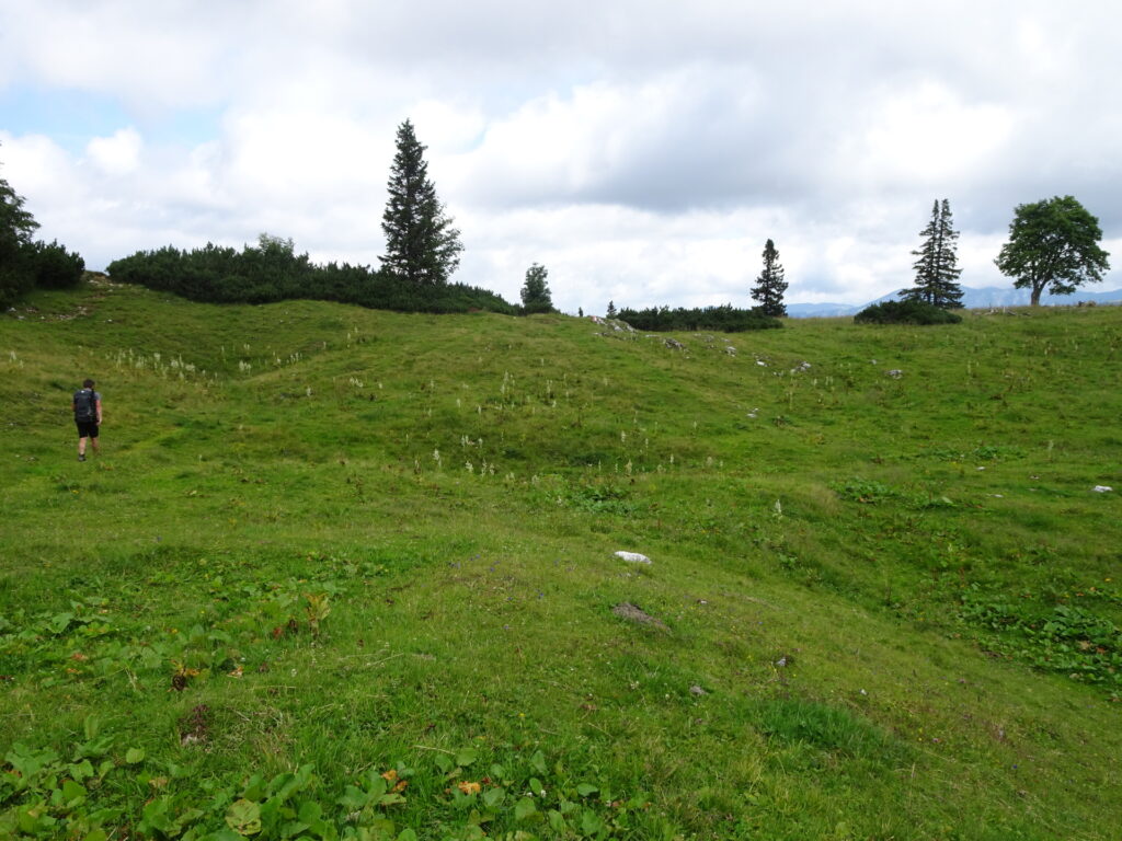
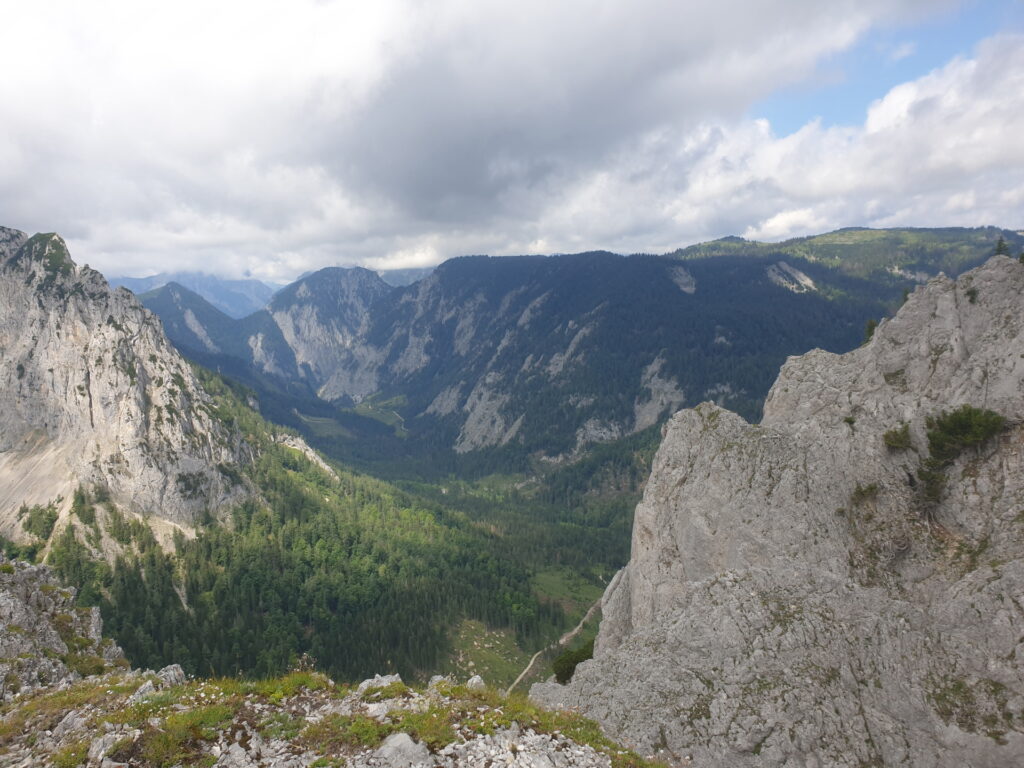
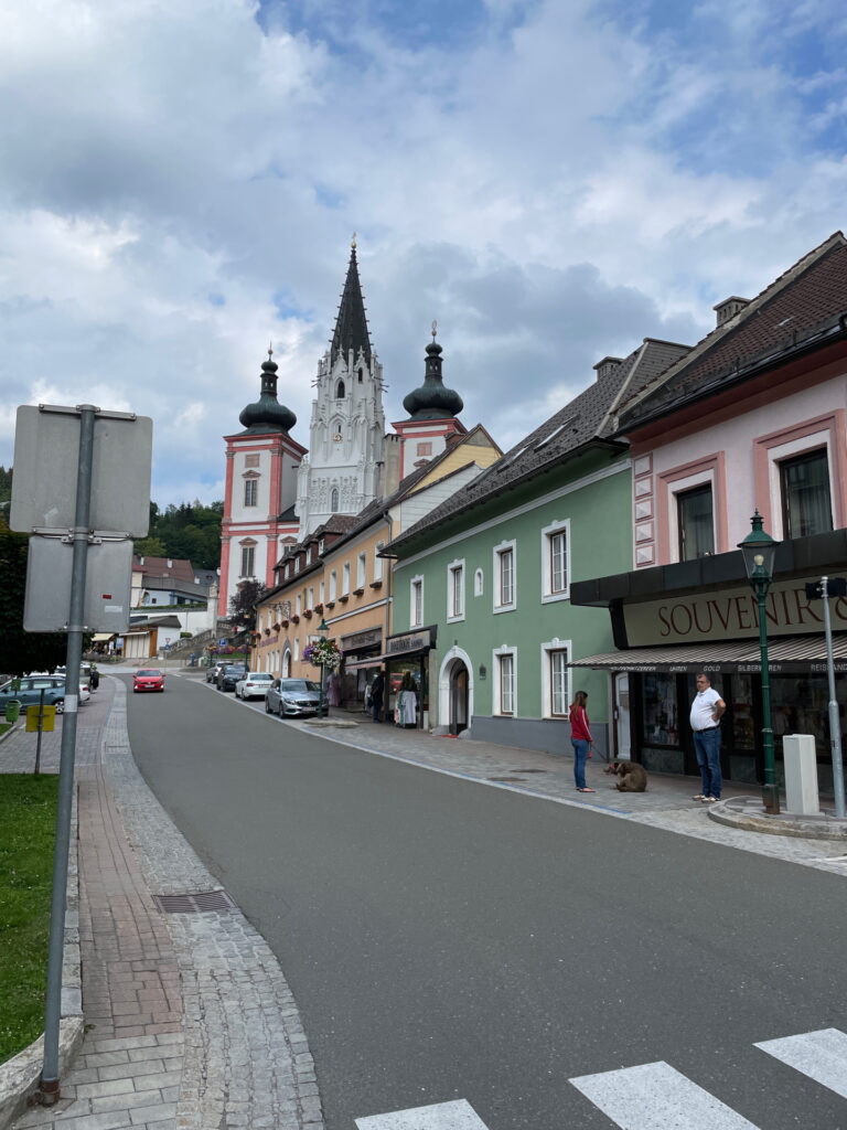
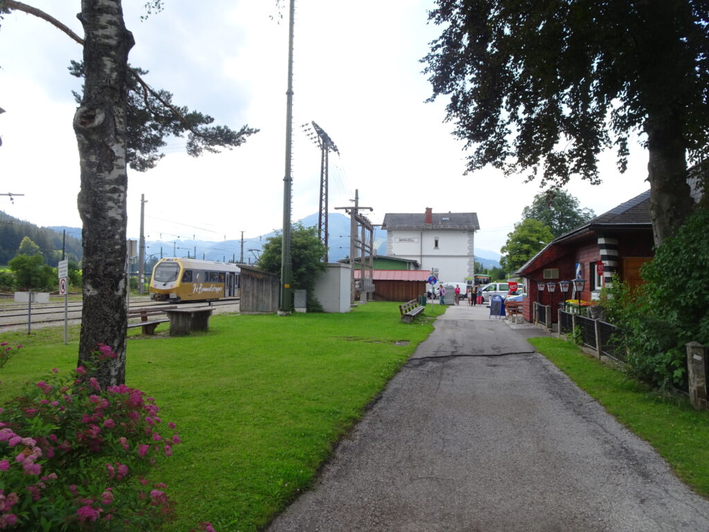
The tour starts at Seewiesen which is the recommended place to stay overnight between the second and third day. The tour follows route 805 northwards to Seebergsattel and then follows the trail 401 along the ski area of Seewiesen. After crossing the street, the tour then follow the first unmarked route 853 (GPS recommended!) towards Leitenalm and further to Graualm. The tour then heads northwards through the mountain pasture till reaching a stunning view point. Now the tour deeply descends (very difficult trail that requires a sure foot) down to Kastenriegel. After reaching Kasternriegel, the difficult part is done and the tour becomes easy but still long. First, the tour takes the route eastwards towards Wegscheid / Spielmäuer. After lunch at the restaurant there, the tour heads back for a few meters and then follows the route 856 northwards towards Gußwerk. After bypassing the Vienna drink water reservoirs, the tour follows the street northeastwards towards Gußwerk. The tour then uses the Mariazeller Gründerweg along a former railway track northwards towards the village of Rasing. There, the route follows the street northwards till finally following again the Mariazeller Gründerweg into the village of Mariazell. After bypassing the famous church of Mariazell, the tour follows the signs towards the train station of Sankt Sebastian.
| 00:00 | Start at Seewiesen and follow the marked trail 805 towards Seeberg (see signposts). |
| 00:10 | At the crossing, turn right and follow the red-white-red marked trail eastwards towards Seeberg through the forest. |
| 00:40 | At the crossing, turn left and follow the marked trail up to Seeberg (see green signposts). |
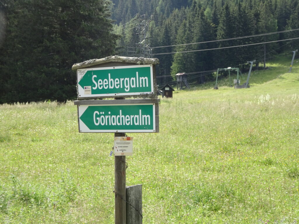
| 00:50 | Turn right and now follow the trail 401 eastwards (along the ski area) towards Seebergalm (see signposts). Keep straight all the time till reaching the huts at Seebergalm. |
| 01:00 | At Seebergalm, keep left and follow the marked trail till reaching the main road. |
| 01:10 | Cross the main road and continue following the trail 852 (no markings anymore) towards Graualm. |
| 01:11 | At the first crossing, turn left and follow the trail towards Graualm. |
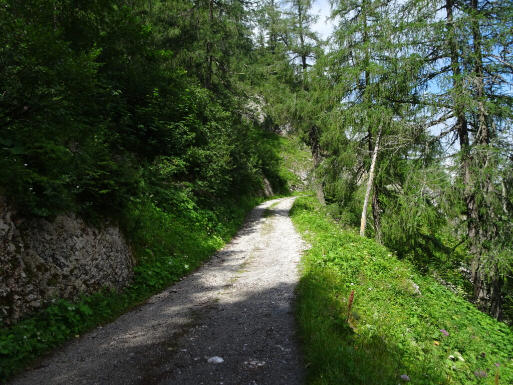
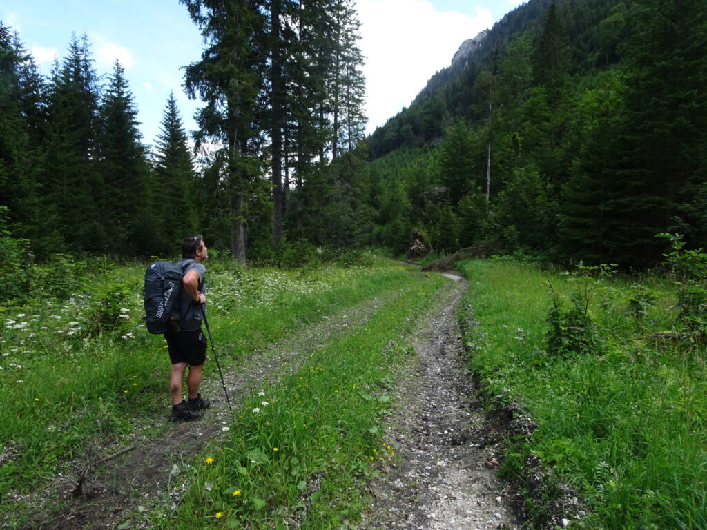
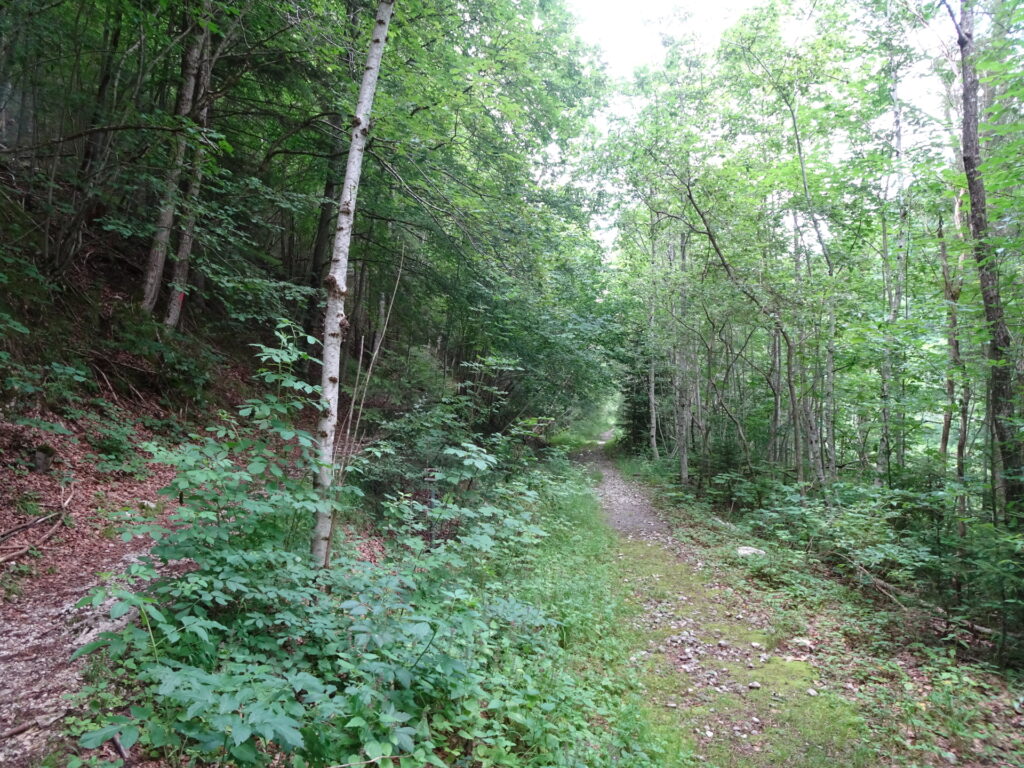
| 01:20 | Keep straight and continue following the forest road northwestwards. |
| 01:25 | Turn right and follow the forest road northeastwards. |
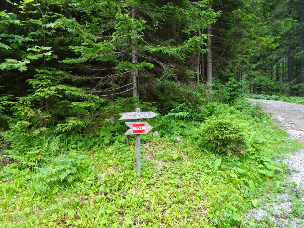
| 01:45 | Now the route is marked again, follow the red-white-red marked trail 853 towards Graualm (keep left and then straight). |
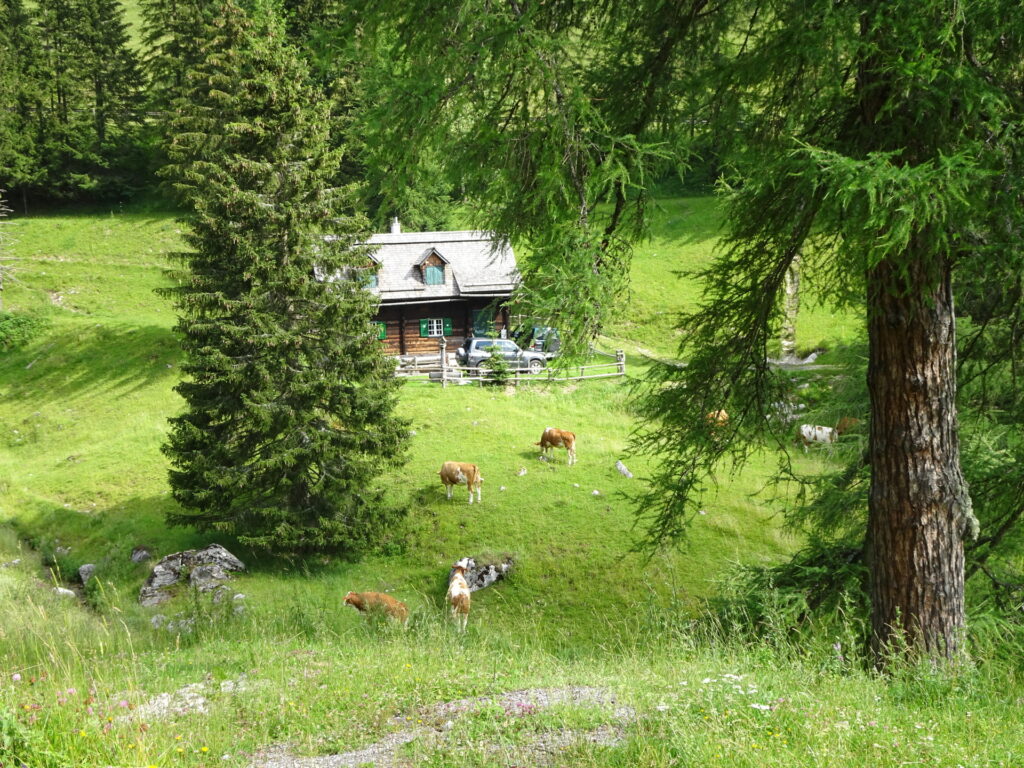
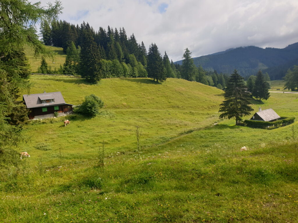
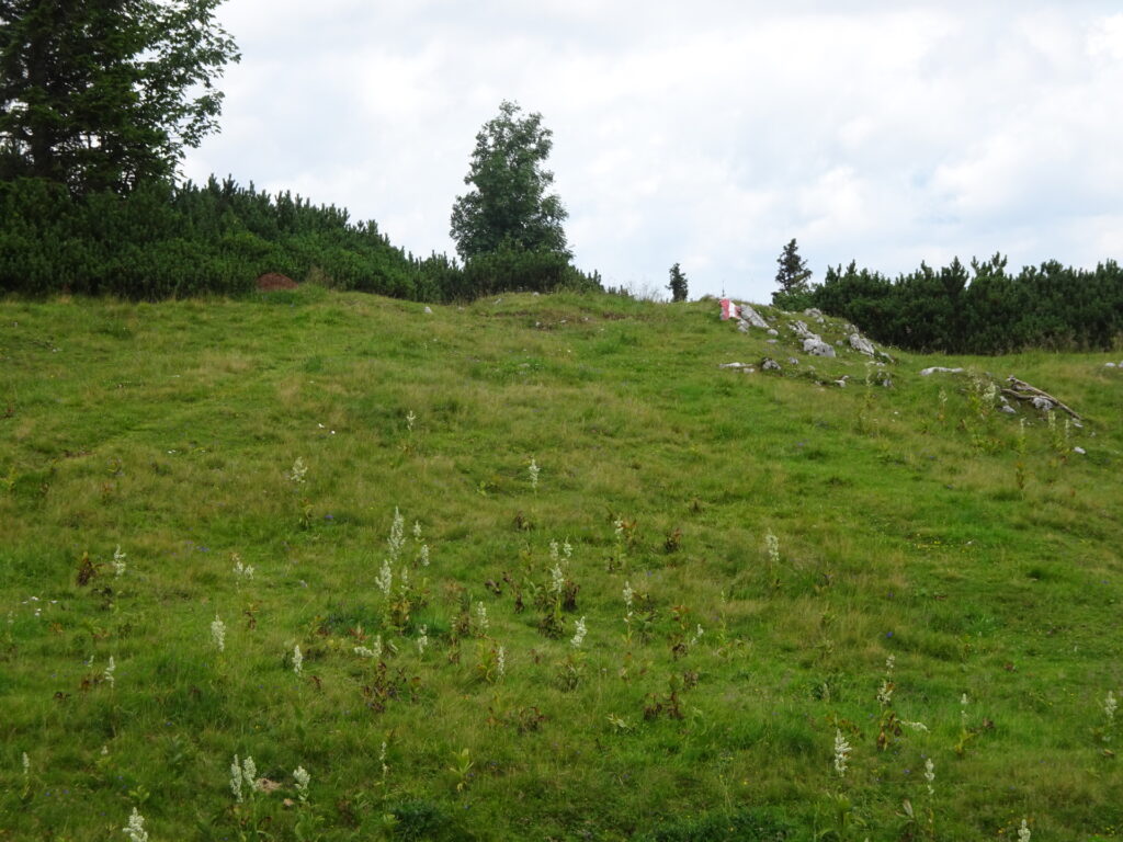
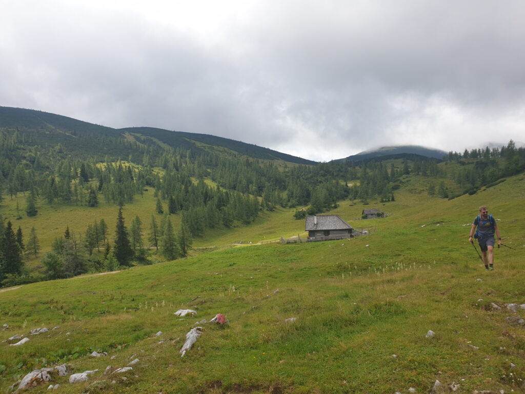
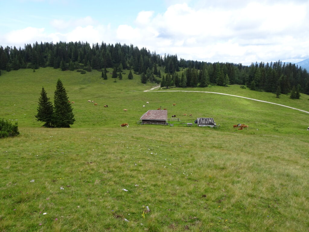
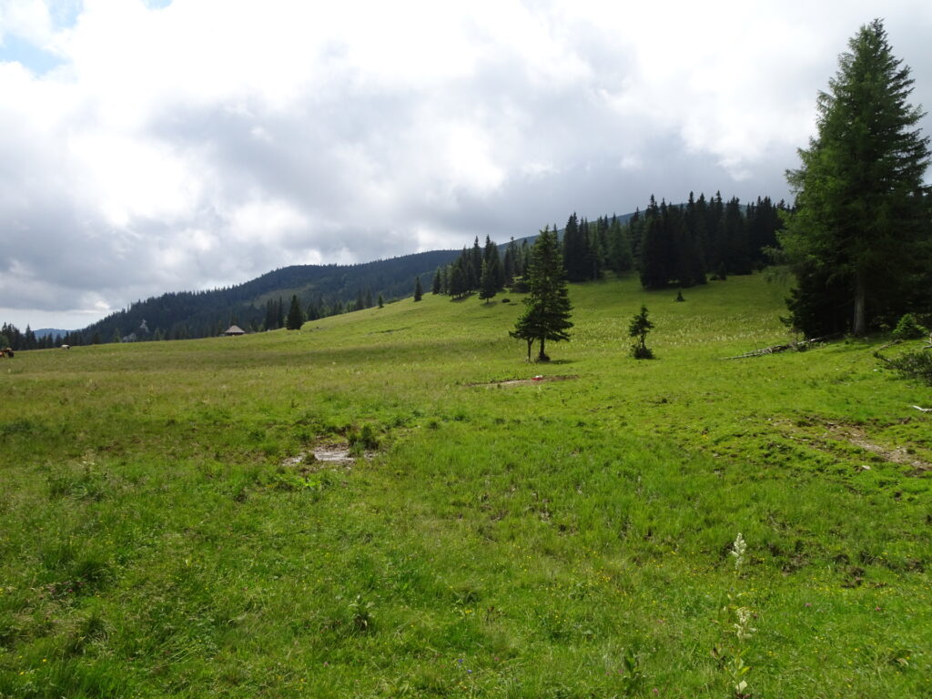
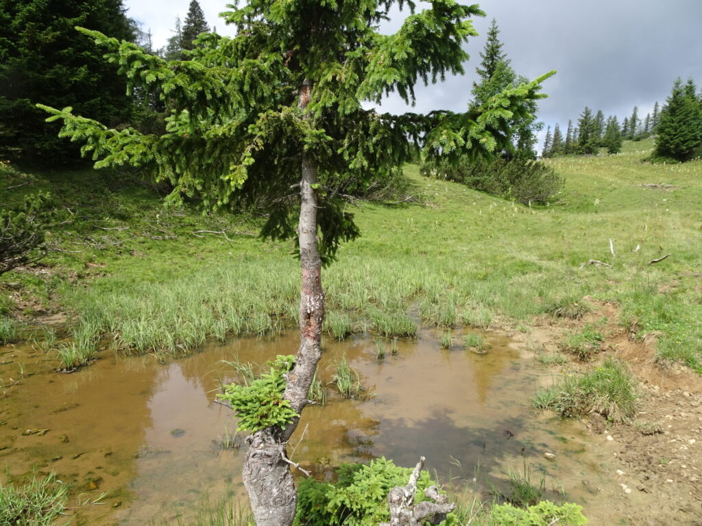
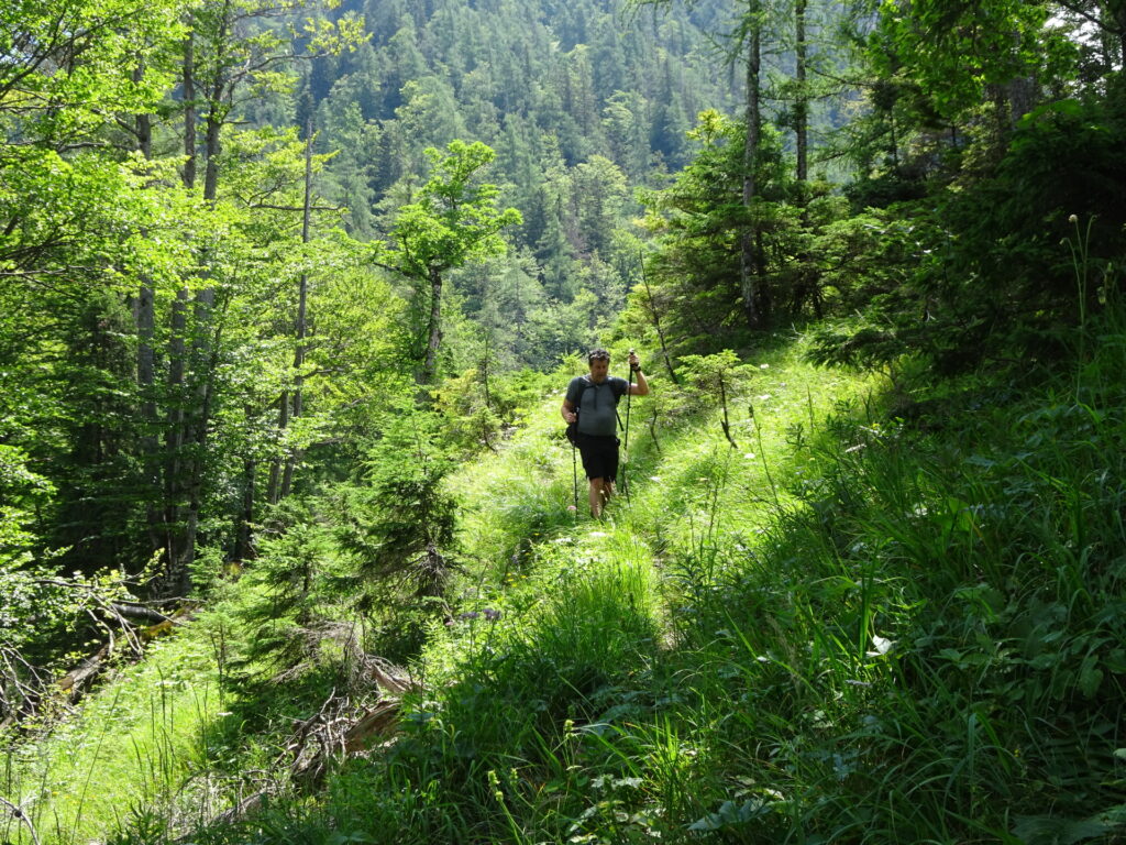
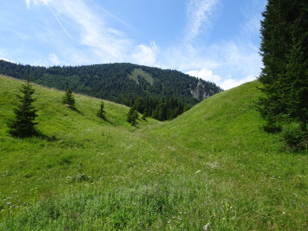
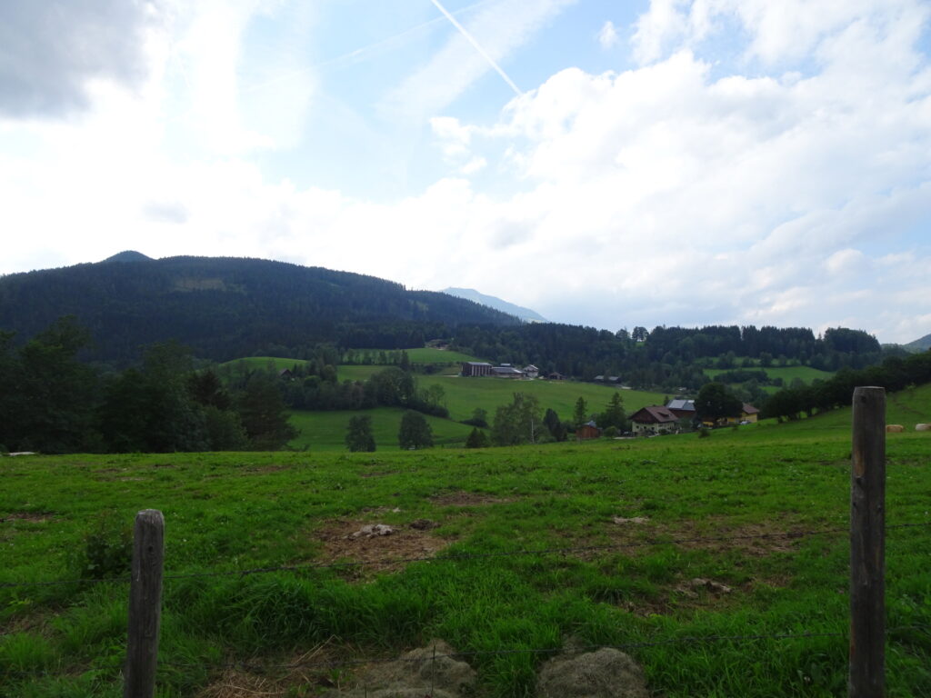
| 02:35 | At the Graualm, keep straight, bypass the hut (around the fence) and then follow the trail northwards (spot the markings on the stones) through the mountain pasture. |
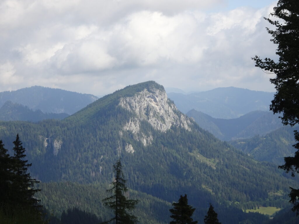
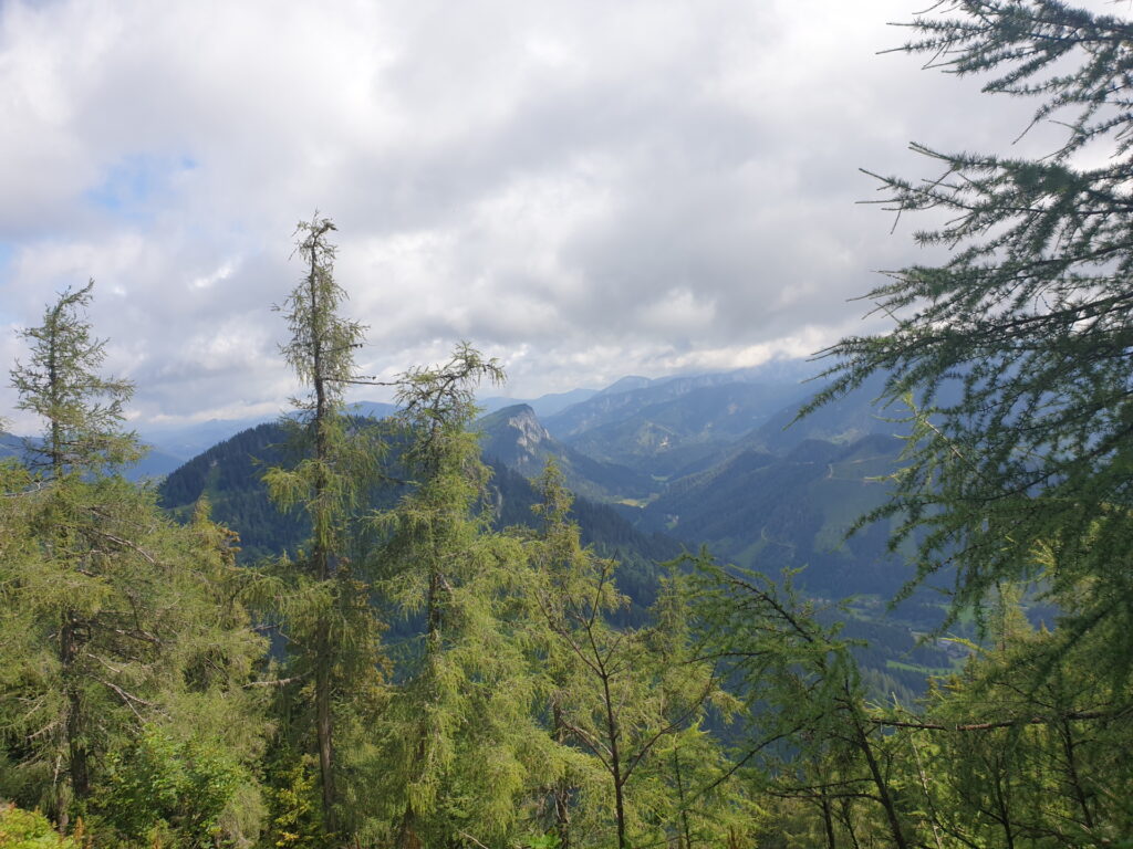
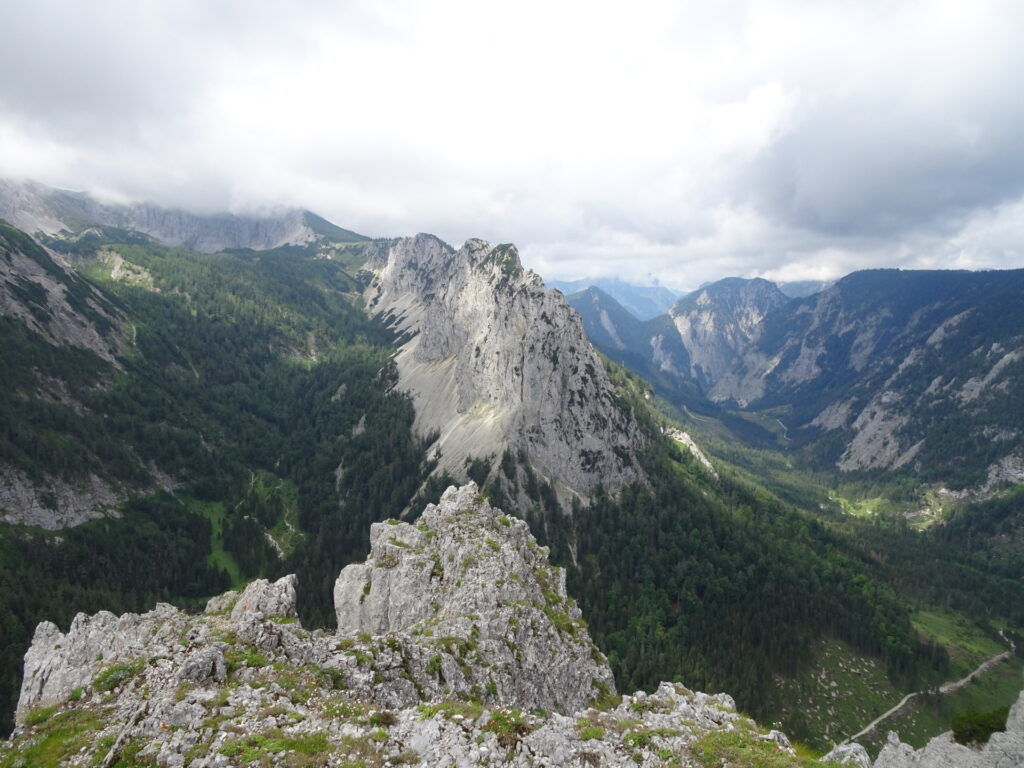
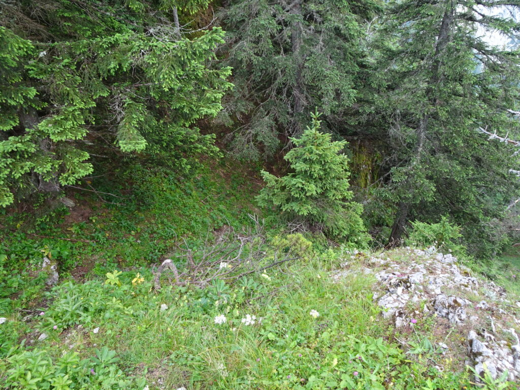
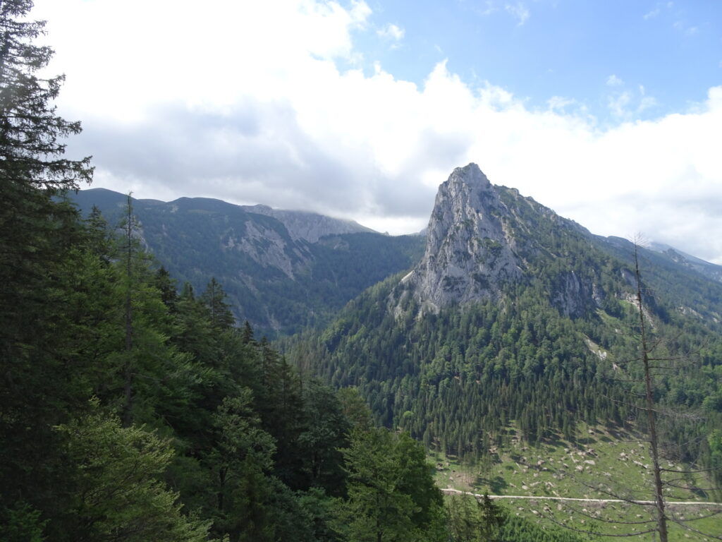
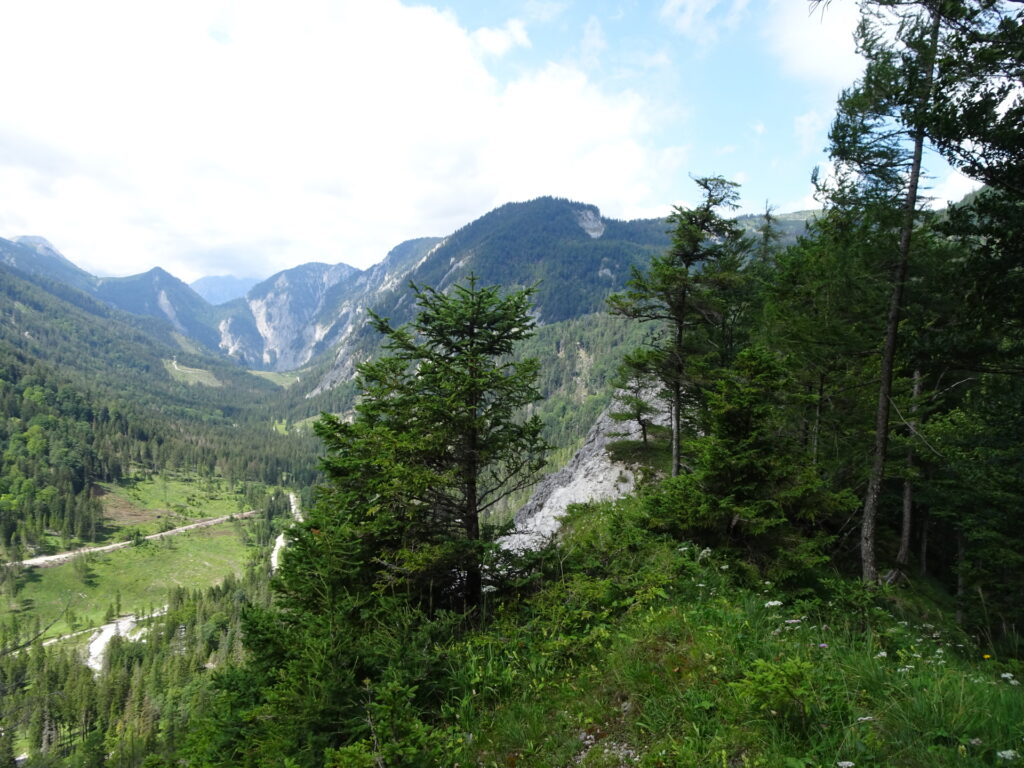
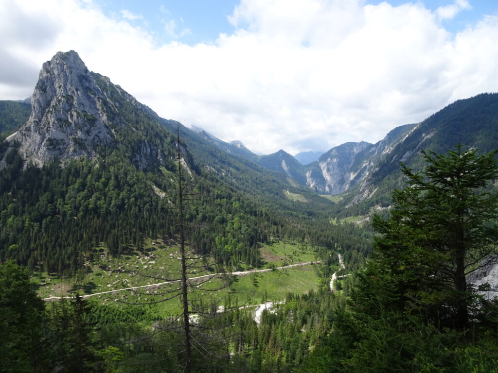
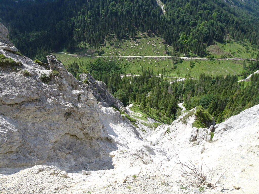
| 02:50 | Turn left, cross the fence and enjoy the amazing view from the viewpoint. Then head back and continue following the (hard-to-find but marked) trail through the bushes northwards. |
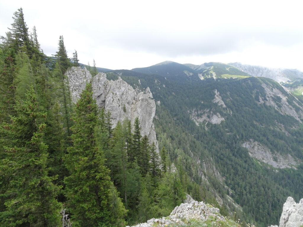
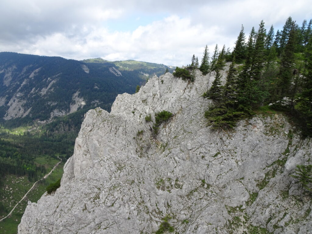
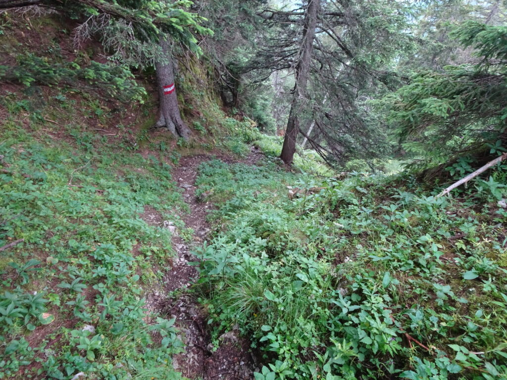
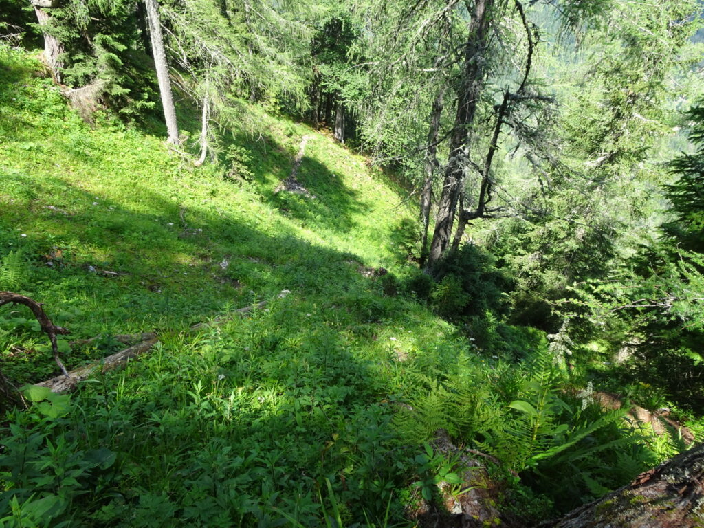
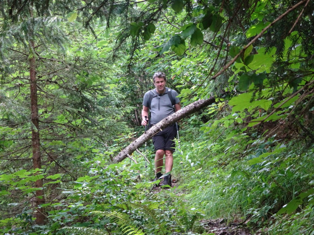
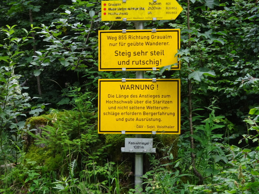
| 03:00 | Descend via the very steep trail 855 towards Kastenriegel From here, a sure foot and mountaineering experience is mandatory! The trail is not for beginners, steep and very slippery! |
| 03:50 | At Kastenriegel, turn right and follow the red-white-red marked trail 854 towards Wegscheid / Gußwerk. |
| 04:15 | Detour for lunch: At the crossing, keep straight and follow the marked road towards Wegscheid In case you want to skip lunch, you can take the direct trail by turning left towards Gußwerk. |
| 04:45 | At the crossing Wegscheid/Gußwerk*, keep straight and follow the road leading towards the main road. |
| 04:50 | Turn left and follow the main road till reaching the restaurant in Wegscheid. |
| 05:00 | Well deserved break ( ) at Gasthof zum Maurer. |
| 06:00 | Hike back to the crossing Wegscheid/Gußwerk* (see 04:45). |
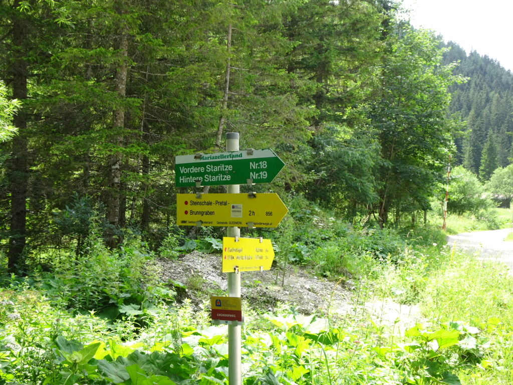
| 06:15 | Keep right at the crossing Wegscheid/Gußwerk* and follow the trail towards Brunngraben. |
| 06:55 | Turn sharp left and follow the marked trail northwestwards. |
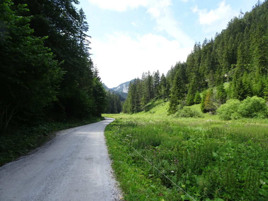
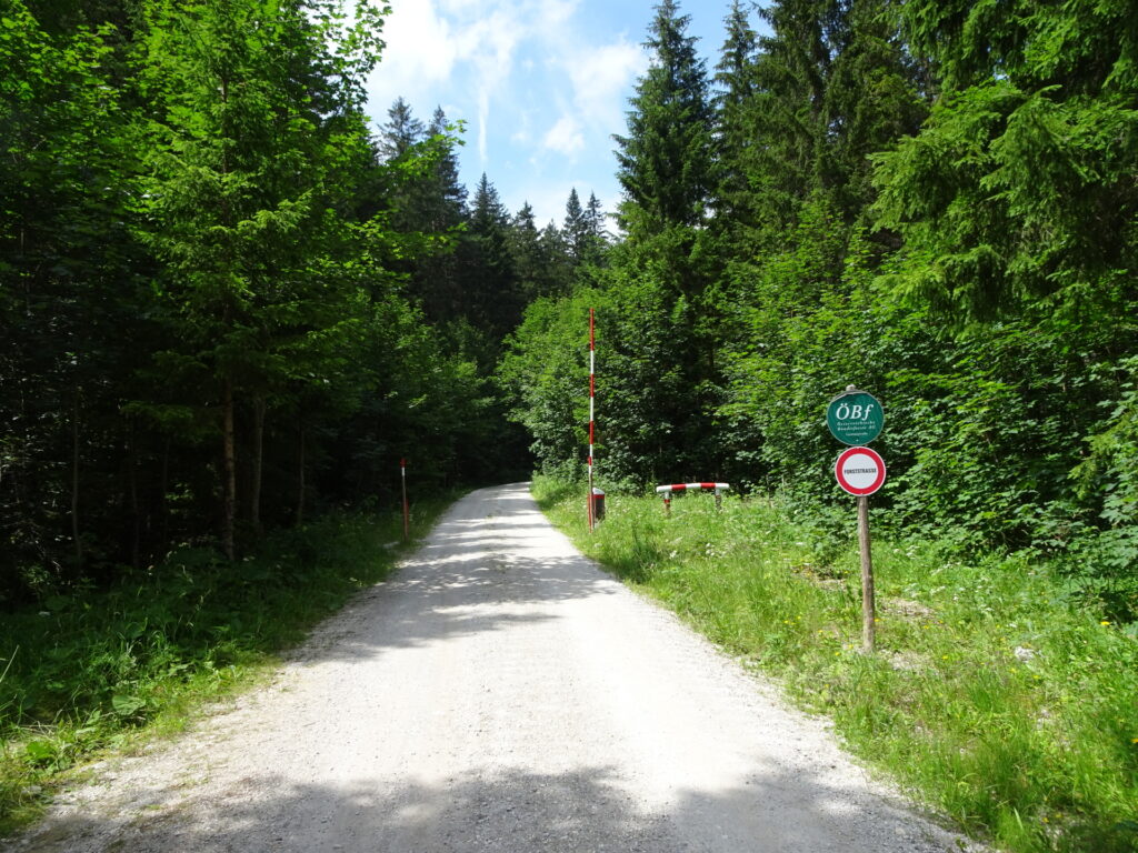
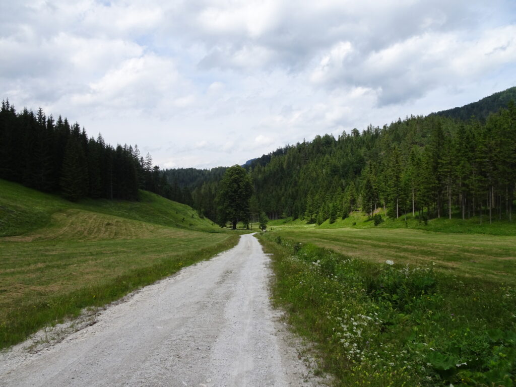
| 07:00 | Follow the forest road and descend towards Brunngraben. |
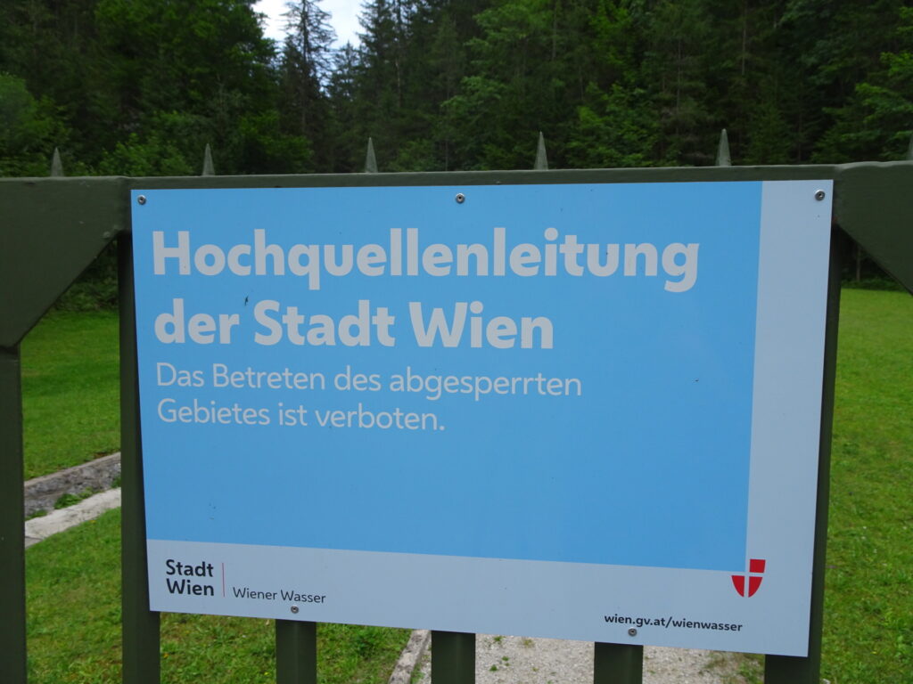
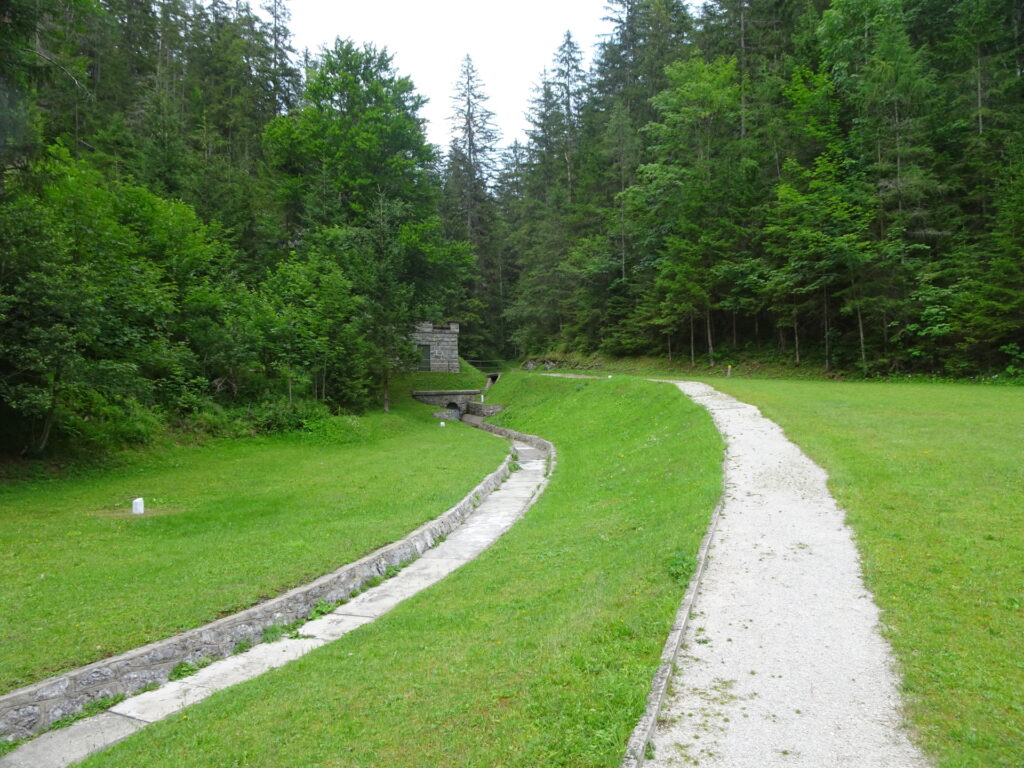
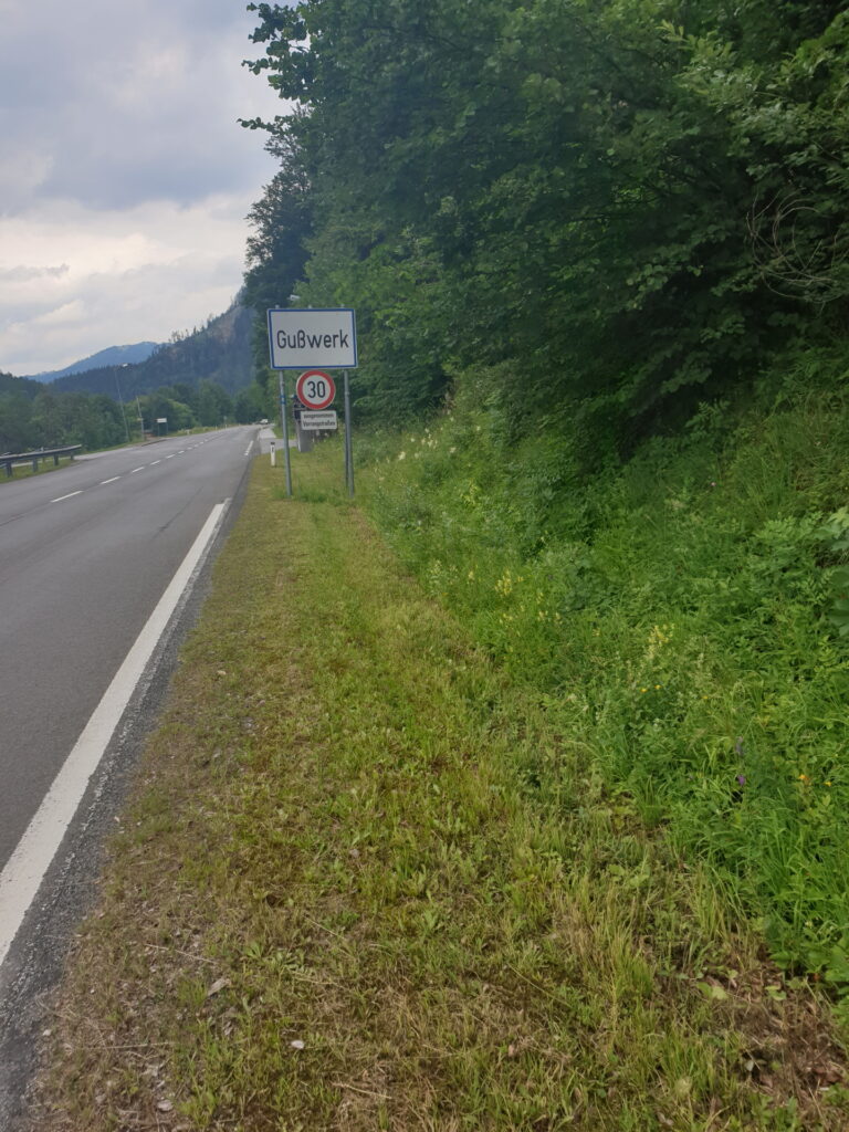
| 07:45 | After bypassing the Vienna drinking water sources, turn right into the main road and follow it till Gußwerk. |
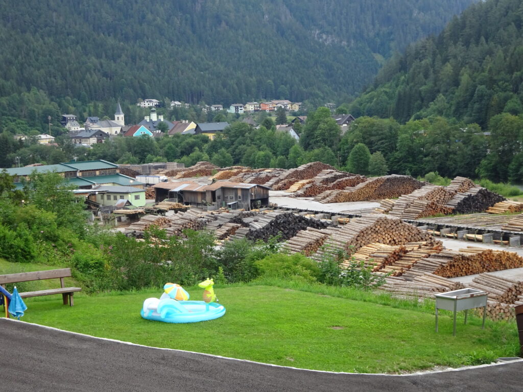
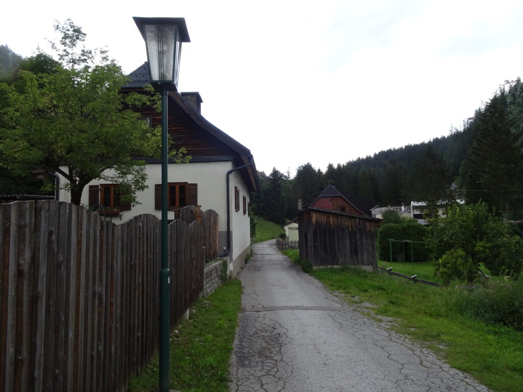
| 08:00 | Turn left, cross the street and the river and follow the marked Mariazeller Gründerweg hiking trail through Gußwerk. |
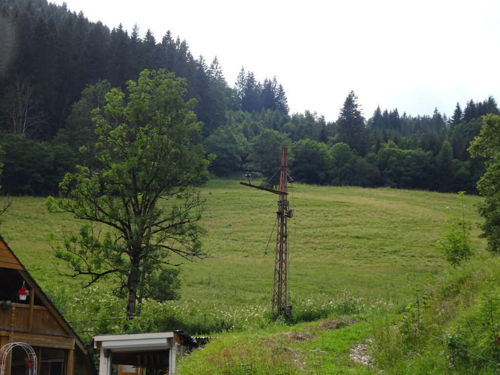
| 08:20 | Keep straight and then follow the Mariazeller Gründerweg on the former railway track along the river. |
| 08:50 | Turn left and follow again the main street northwards through Rasing towards Mariazell. |
| 09:00 | Keep right and follow the marked Mariazeller Gründerweg up to Mariazell. |
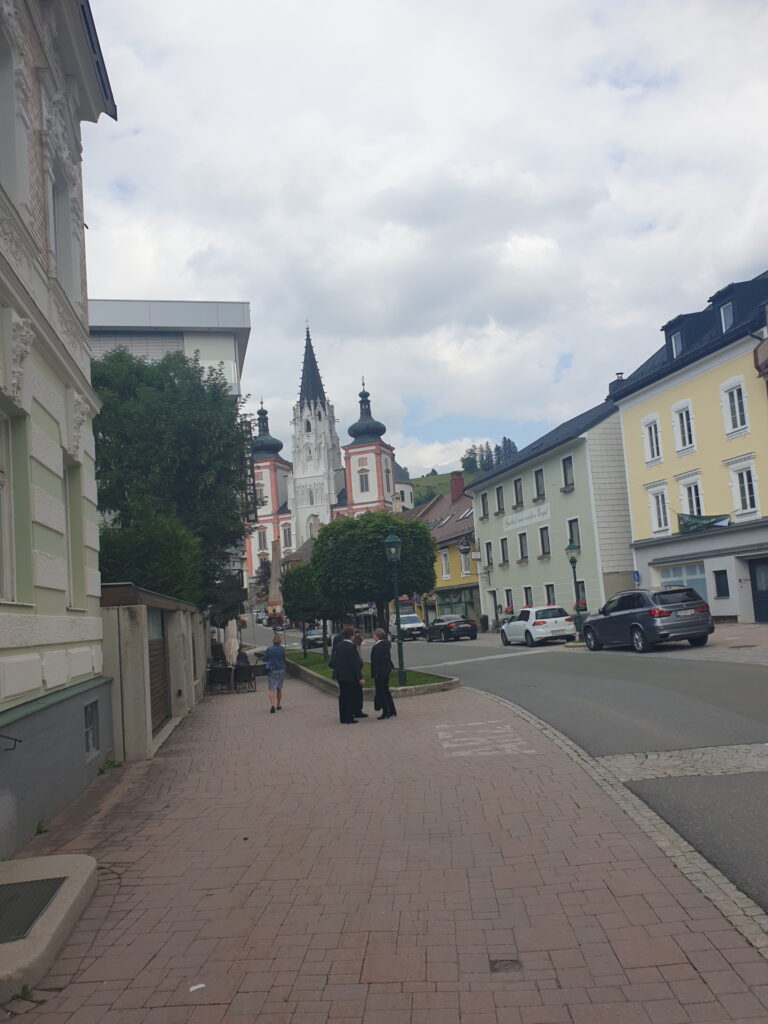
| 09:10 | At the city center (a bit before the church), turn left and follow the road towards the train station (see signposts). |
| 09:15 | Cross the street and follow the walkway towards the train station (see signposts). |
| 09:30 | Arrival at the train station Sankt Sebastian, end of the tour. |
General Tour Data
| Area: | Hochschwabgruppe, Styria, Austria | |
| Distance: | 34km | |
| Ascent: | 1168m (2h 20min) | |
| Descent: | 1245m (2h 10min) | |
| Highest Pt: | 1525m | |
| Lowest Pt: | 750m | |
| Duration: | 8h 30min (without breaks) 9h 30min (with breaks) |
|
| Stop/Rest: | Hotel Restaurant Seeberghof (931m) Seebergalm (1147m) Graualm / Halterhütte (1502m) Gasthof zum Maurer (931m) Gasthof Kohlhofer (741m) |
|
| Equipment: | Hiking shoes Backpack with standard hiking equipment Food and plenty of water!!! Sun & Weather protection Camera |
| Download GPX | ||
| O | Tour at outdooractive.com |
At a glance
| Level | difficult |
| Technique | |
| Shape / Fitness | |
| Experience | |
| Scenery | |
| Best time in the year | |
|
Jan
Feb
Mar
Apr
May
Jun
Jul
Aug
Sep
Oct
Nov
Dec
|
|












Leave a Reply