
Stage 1 of the AlProbstEberl® long distance trail from Tragöß / Grüner See up to the Sonnschienalm
 |
The AlProbstEberl® long distance trail combines in 3 stages a tour through the Hochschwab area, starting from the iconic “Grüner See” at Tragöß and ends in Mariazell. The entire trail is 70 km long and 3.000 meters in ascent. It is normally done in 3 days, starting in Tragöß and ending in Mariazell. Both, the start and the end are perfectly reachable via public transportation. |
The tour starts at the parking of the Grüner See (GPS: 47.532660, 15.078038) in Tragöß / Oberort (which is also the last station of bus 175 coming from Bruck an der Mur) and first follows the street northwestwards towards the lake. The tour then takes the Almweg, bypassing the Kreuzteich lake and then heads directly north towards the Grüner See. The tour continues following the trail 832 (Almweg) northwestwards towards Jassing. After the parking in Jassing, the tour then follows the Russenstraße (red-white-red marked trail 836) up towards the Sonnschienalm which is the recommended stop for the first night.
This tour is best reachable via public transportation, first use the train to Bruck an der Mur and then via the bus line 175 to Tragöß / Oberort – Gründer See. Stage 3 of AlProbstEberl® ends at the train station Sankt Sebastian / Mariazell with connections back to Vienna or other bigger cities.
Tour Description
| 00:00 | Start at the parking of Grüner See (GPS: 47.532660, 15.078038), end of bus line 175 Tragöß / Oberort – Grüner See and first follow the street northwestwards towards the Grüner See. |
| 00:05 | Turn left into the hiking trail towards Kreuzteich and follow the trail around the amazing Kreuzteich. |
| 00:10 | Turn right and follow the marked trail (Almweg) northwards towards Grüner See. |
| 00:20 | Well deserved break ( ) at Gasthof Grüner See. After lunch, consider a small walk around the impressive Grüner See lake. |
| 01:20 | Continue following the road northwestwards towards Jassing (see signpost). |
| 01:30 | Leave the street and keep straight ahead, following the red-white-red marked trail 832 towards Jassing. |
| 01:45 | Keep right and now follow again the forest street northwards towards Jassing. |
| 02:05 | After the parking, keep right and follow the Russenstraße (trail 836) up to Sonnschienalm. |
| 02:30 | After crossing the bridge, either keep following the forest road (recommended) or turn right and shortcut via the steeper trail. |
| 02:35 | At the crossing, do an U-turn and keep following the red-white-red marked forest road upwards. |
| 03:20 | Either shortcut by following the marked trail or keep following the more comfortable forest street (recommended). |
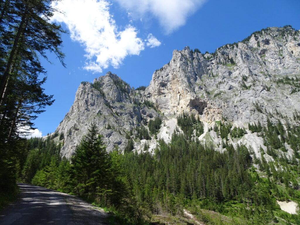
| 03:30 | Keep straight and follow the Russenstraße (gravel road). |
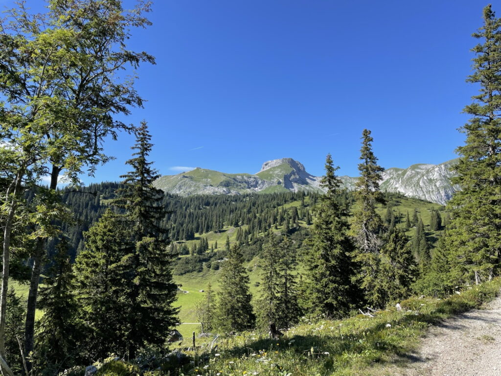
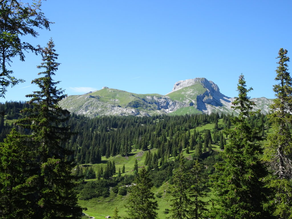
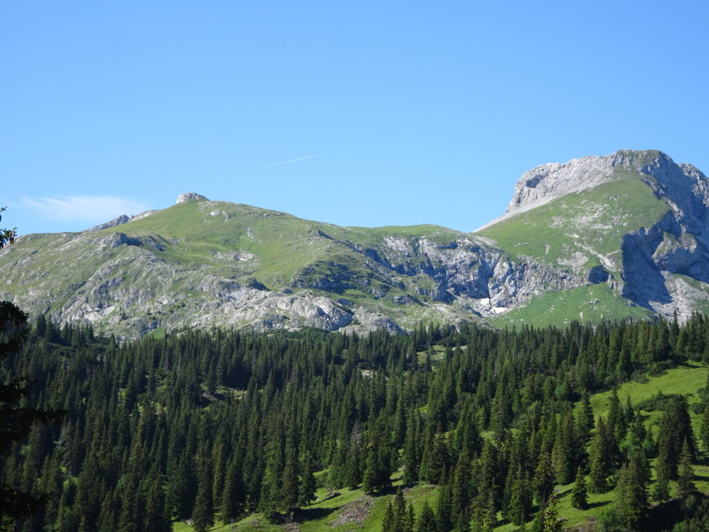
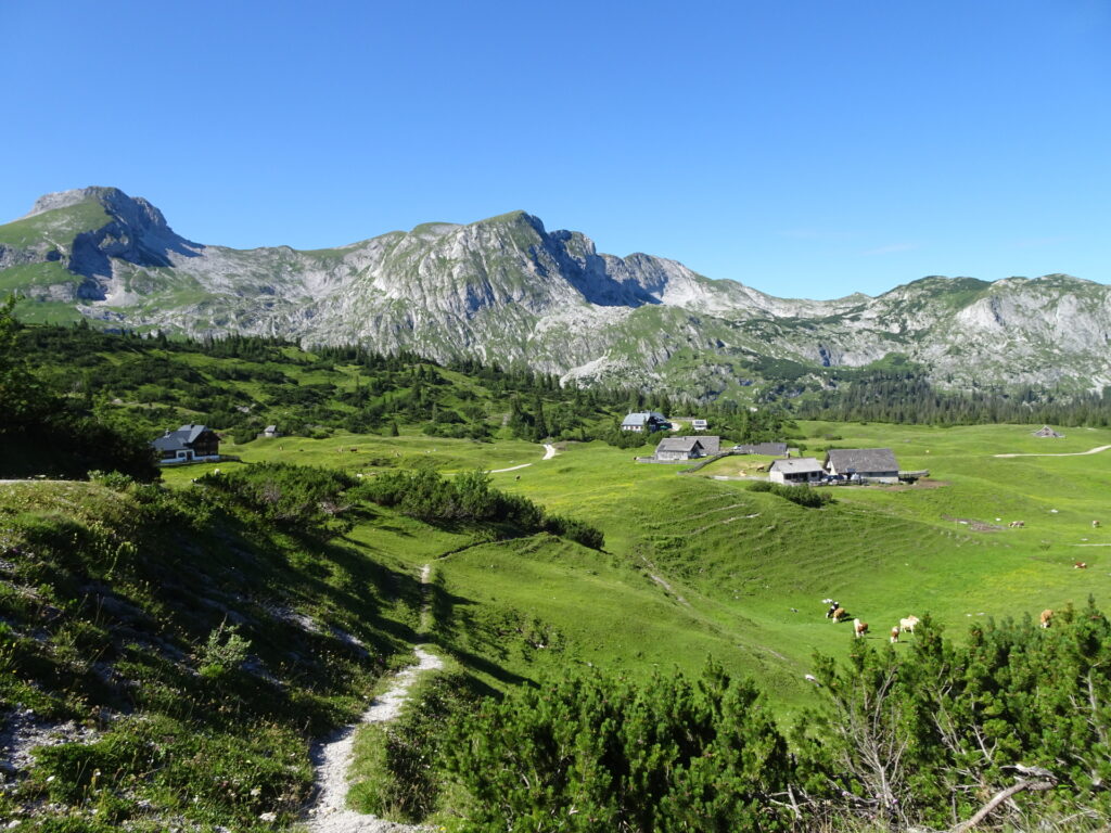
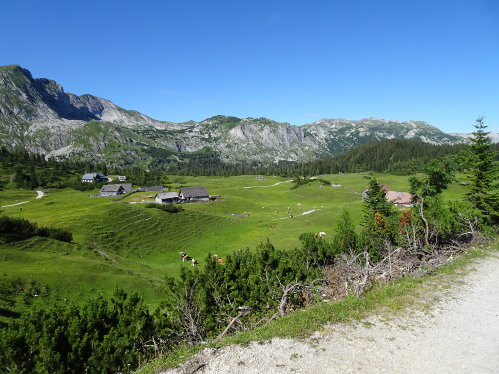
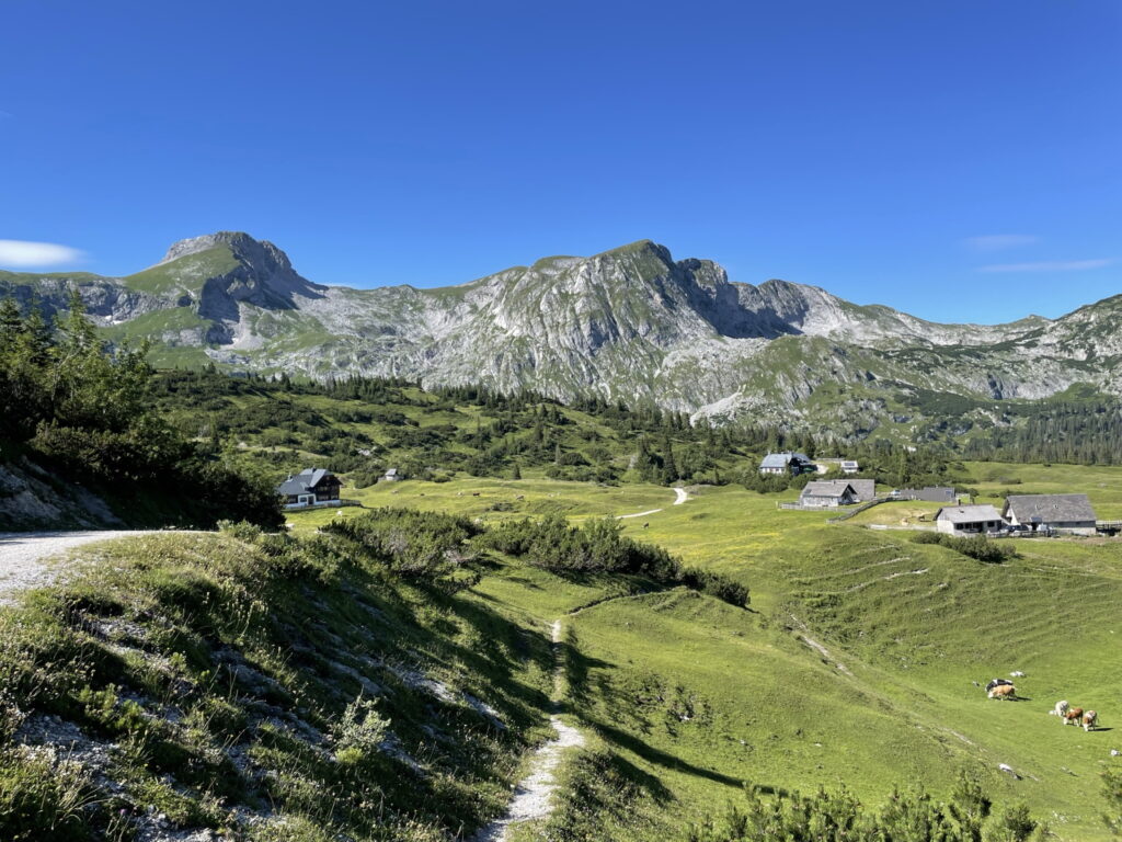
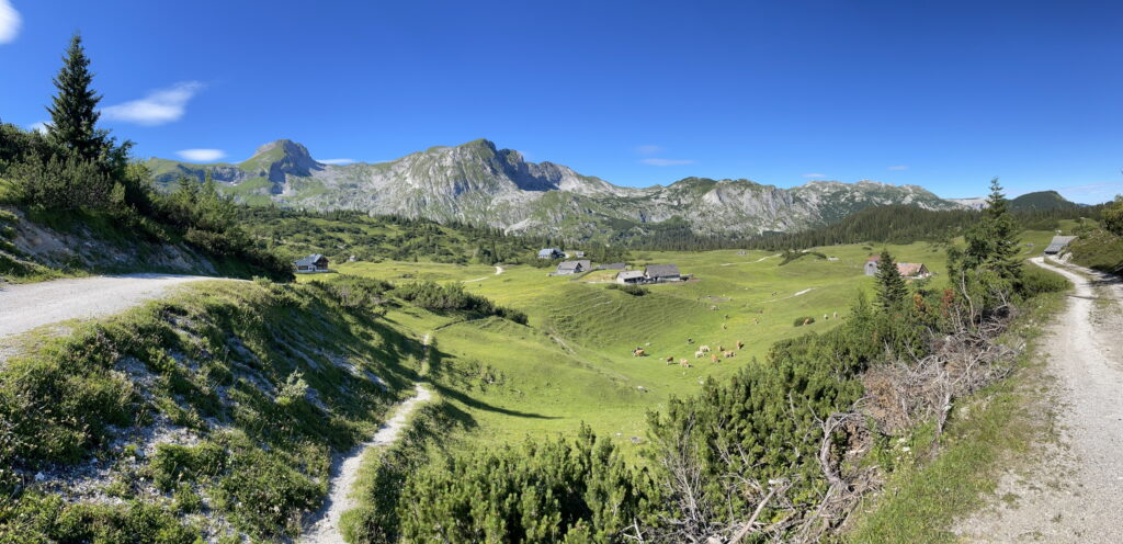
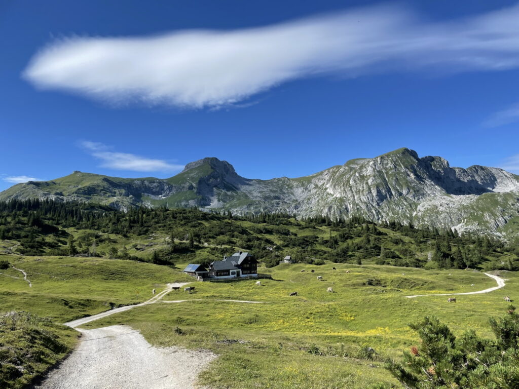
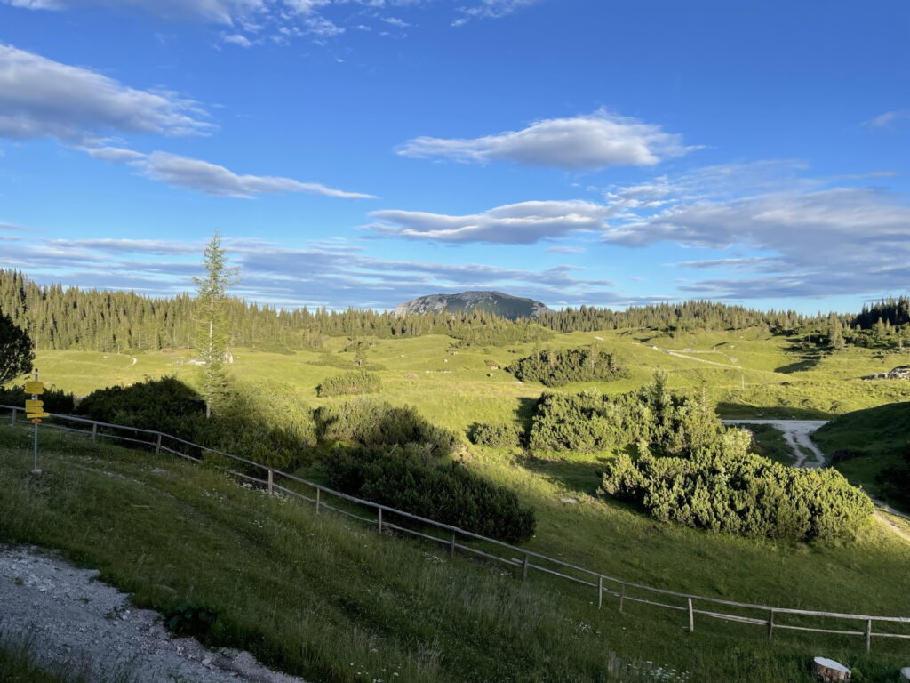
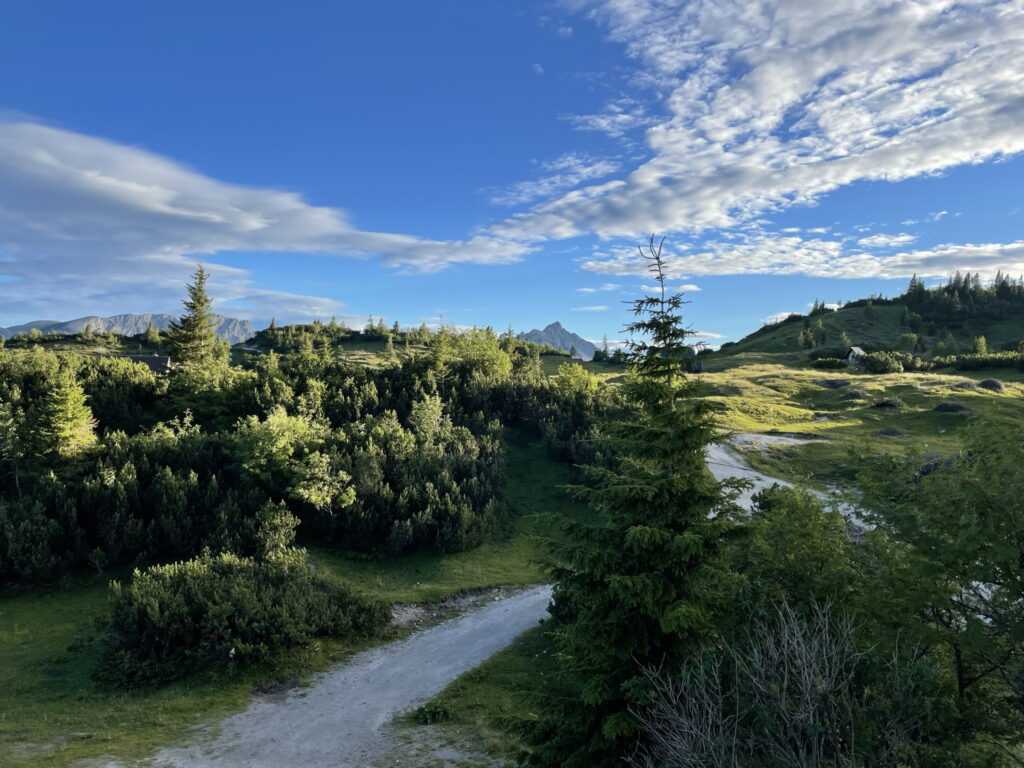
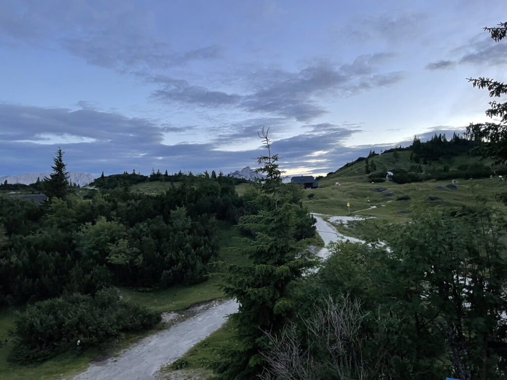
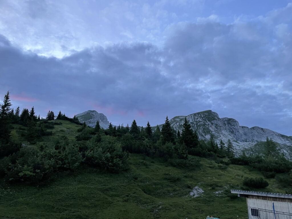
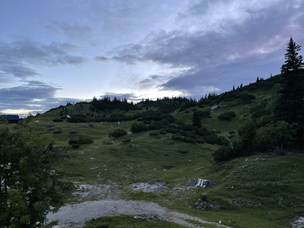
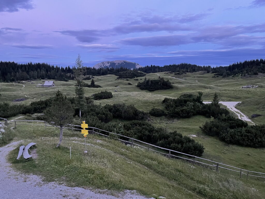
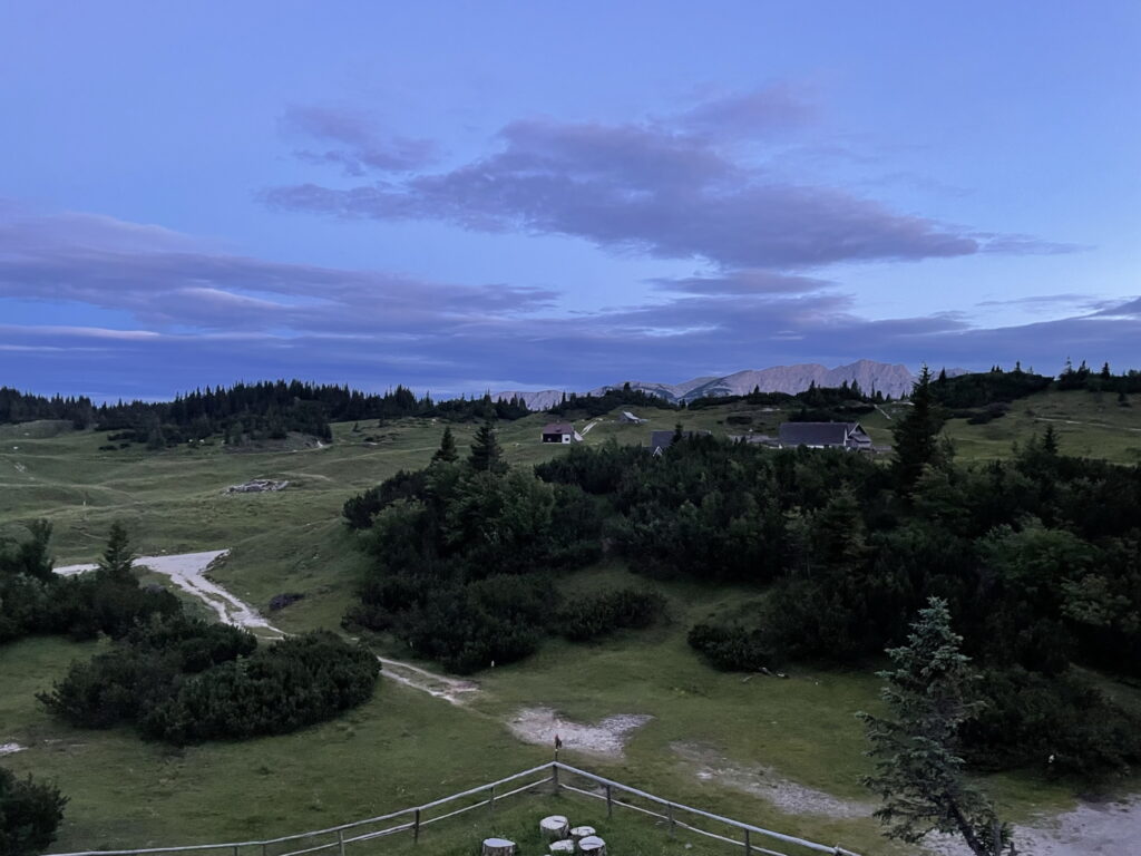
| 03:45 | Enjoy the impressive view towards Sonnschienalm. Then follow the trail north heading directly towards the Sonnschienhütte. |
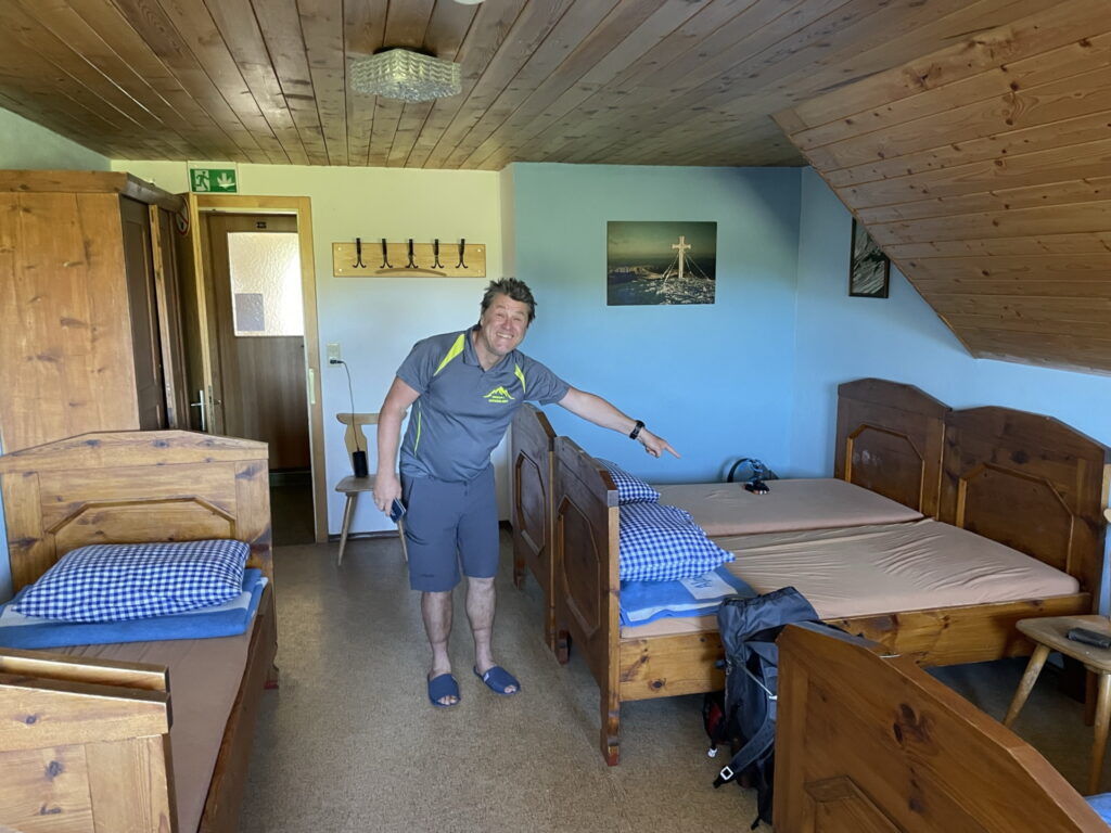
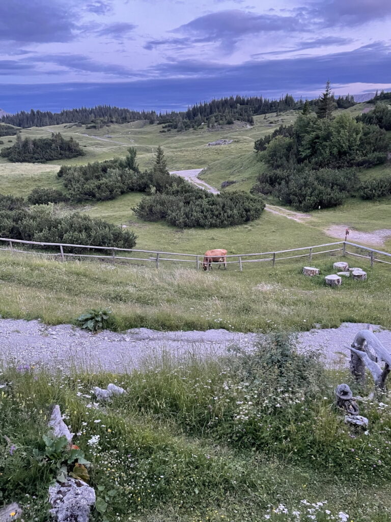
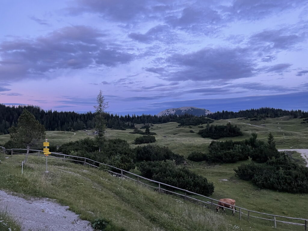
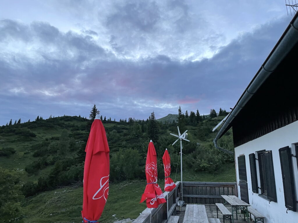
| 04:00 | Check in at Sonnschienhütte (end of first stage) and enjoy the rest of the day ( ). |
At a glance
| Level | easy |
| Technique | |
| Shape / Fitness | |
| Experience | |
| Scenery | |
| Best time in the year | |
|
Jan
Feb
Mar
Apr
May
Jun
Jul
Aug
Sep
Oct
Nov
Dec
|
|
General Tour Data
| Area: | Hochschwabgruppe, Styria, Austria | |
| Distance: | 12km | |
| Ascent: | 830m (1h 30min) | |
| Descent: | 65m (0h 10min) | |
| Highest Pt: | 1537m | |
| Lowest Pt: | 753m | |
| Duration: | 3h 00min (without breaks) 4h 00min (with breaks) |
|
| Stop/Rest: | Gasthof Grüner See (778m) Sonnschienhütte (1526m) Jassing Almhüttn (890m) |
|
| Equipment: | Hiking shoes Backpack with standard hiking equipment Snacks and water Sun & Weather protection Camera |
| Download GPX | ||
| O | Tour at outdooractive.com |










Leave a Reply