
Hohe Wand in winter starting in Grünbach (west) via the Fasslsteig towards Dreistetten (east) through the Leitergraben
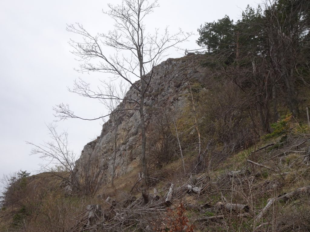
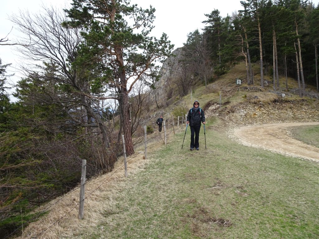
The tour starts at the train station Grünbach/Schule and first follows the trail track southwestwards for a few meters before turning into the Eselsteig which is used for the ascent. The tour then leaves the Eselsteig and continues the ascent via the Fassl-Steig and then traverses back towards the Rastkreuzsattel. From there the final ascent to the Hohe Wand is done starting from the west. After reaching the highest oint (Plackles), the tour follows the hiking trail eastwards, passing by the Eicherthütte, the Hubertushaus, descending and ascending through the Leitergraben and then continues eastwards till reaching the Herrgottschnitzerhaus. After a short break, the tour then follows the easy Eselweg and later the Notabfahrt downwards which automatically leads towards the parking Dreistetten.
| 00:00 | Start at the train station Grünbach/Schule (GPS: 47.801783, 15.981930) and follow the rail track southwestwards for a few meters. |
| 00:05 | Turn right into the trail towards Gelände. |
| 00:15 | At the crossing, turn left and continue following the Eselsteig. You can shorten the tour by following the Bergmann-Steig straight ahead which brings you automatically to the Rastkreuzsattel. |
| 00:30 | At the crossing, leave the Eselsteig, keep straight ahead and follow the yellow-marked Fasslsteig. |
| 00:50 | At the saddle, turn right and follow the red-white-red marked hiking trail eastwards towards Rastkreuzsattel. |
| 01:00 | Cross the street at Rastkreuzsattel and follow the trail eastwards to Plackles (see signposts). |
| 01:10 | Keep following the red-white-red marked hiking trail up to Plackles. |
| 01:30 | Keep left and follow the trail up to Plackles. |
| 01:40 | Pass by the Plackles with its huge antenna and follow the trail now downwards heading east. |
| 02:00 | Well deserved break ( ) at Eicherthütte. |
| 02:50 | Continue following the white-blue-white marked trail eastwards towards Hubertushaus. |
| 03:15 | Pass by the Hubertushaus and continue following the trail eastwards towards Leitergraben. |
| 03:30 | Descend down into the Leitergraben. |
| 03:35 | At the crossing in Leitergraben, turn left and ascent (steeply) towards Gasthaus Hochkogelhaus / Luf. |
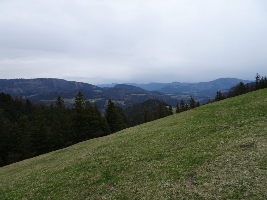
| 03:45 | Enjoy the view from Neue Welt Blick and then follow the trail east passing by Gasthof Hochkogelhaus and Luf. |
| 04:05 | At the crossing, keep left and continue following the red-white-red marked hiking trail (northwards). |
| 04:15 | At the crossing, turn right and follow the red-white-red-marked trail eastwards. |
| 04:25 | Pass by Gasthof Postl and follow either the street east or detour via the hiking trail (first south and then east towards Sykwalk). |
| 04:35 | Leave the street and turn right into the hiking trail towards Almfrieden. |
| 04:45 | At Almfrieden, follow the street for a few meters northwards and then turn right into the red-white-red hiking trail. |
| 05:00 | At the main street crossing, turn left and follow the street northeastwards towards Kohlröserlhaus. |
| 05:10 | Well deserved break ( ) at Gasthaus Kohlröserlhaus. |
| 05:45 | Continue following the street eastwards towards Herrgottschnitzerhaus. |
| 06:00 | Turn slightly right and follow the |
| 06:20 | Well deserved break () at Herrgottschnitzerhaus. |
| 06:40 | Follow the red-white-red marked Eselweg northeastwards to descent towards Dreistetten. |
| 06:45 | At the crossing, keep left and follow the red-white-red marked trail (northwards). |
| 06:50 | Turn right and follow the green-marked Eselweg downwards. |
| 07:00 | At the crossing, follow the forest street (Notabfahrt) downwards which brings you automatically back to the parking in Dreistetten. |
| 07:15 | Back at the parking Dreistetten, end of the tour. |
General Tour Data
| Area: | Wiener Alpen, Lower Austria, Austria | |
| Distance: | 18km | |
| Ascent: | 828m (2h 50min) | |
| Descent: | 903m (2h 10min) | |
| Highest Pt: | 1132m | |
| Lowest Pt: | 537m | |
| Duration: | 5h 30min (without breaks) 7h 15min (with breaks) |
|
| Stop/Rest: | Scheimhütte (876m) Eicherthütte (1052m) Hubertushaus (946m) Gasthaus Luf (932m) Alpengasthof Postl (891m) Kohlröserlhaus (840m) Herrgottschnitzerhaus (826m) |
|
| Equipment: | (Warm) Hiking shoes Shoe chains (“Grödeln”) in winter Backpack with standard hiking equipment Snacks and water Sun & Weather protection GPS advised Camera |
| Download GPX | ||
| O | Tour at outdooractive.com |
At a glance
| Level | easy-moderate |
| Technique | |
| Shape / Fitness | |
| Experience | |
| Scenery | |
| Best time in the year | |
|
Jan
Feb
Mar
Apr
May
Jun
Jul
Aug
Sep
Oct
Nov
Dec
|
|












Leave a Reply