
Promising hiking tour up to the highest point of Bucklige Welt, the Hutwisch from Bad Schönau
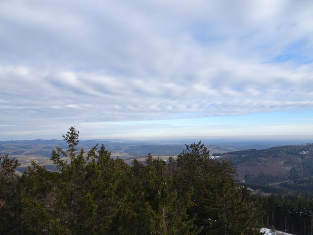
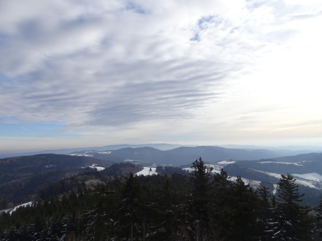
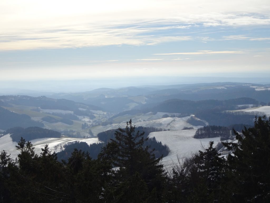
This tour starts in the center of Bad Schönau and first leads through its beautiful park. The tour then follows nice and easy hiking trails up to the Hutwisch with its unique wooden viewing platform. Climbing up 22m high platform allows an impressive panorama view on the entire area, ranging from Schneeberg till Slovenia on clear days. The tour then descends via Wenigreith and calm roads back to Bad Schönau.
Tour Description
Tour Description
| 00:00 | Start at the public parking lot Bad Schönau (GPS: 47.495756, 16.234027). First, follow the street westwards towards the city center and the main building of the health resort./td> |
| 00:05 | Turn left into the trail in front of the health resort and walk through its park (any trail will lead to the other end). |
| 00:15 | At the end of the park, turn right and follow the forest road up westwards. |
| 00:18 | Keep left at the crossing and continue following the forest road up. |
| 00:20 | Keep straight ahead (slightly left) at the crossing. |
| 00:25 | Keep straight ahead into the trail and follow the trail (keep straight ahead) all times. |
| 01:05 | At the crossing Höhwirt, turn left and follow the Alpannonia® marked trail southwards. |
| 01:20 | At the crossing, turn left and follow the trail towards Hutwisch (see signpost). |
| 01:23 | Turn left and follow the trail up towards the viewing platform. |
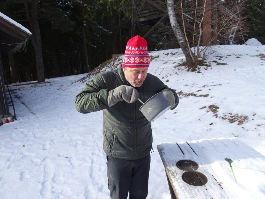
| 01:25 | Climb up the viewing platform and enjoy the view from there. The view is best enjoyed with some self-brought refreshments ( ). |
| 02:35 | Follow the trail (left) north back to Bad Schönau. |
| 02:40 | At the crossing, turn right and follow the marked trail downwards. |
| 02:45 | In Wenigreith, turn left and follow the marked trail downwards. Now stay on the street and follow it back to Bad Schönau. |
| 03:25 | At the crossing, stay straight ahead and then left and follow the street back to Bad Schönau. |
| 03:50 | Back at the parking Bad Schönau, end of the tour. |
At a glance
| Level | easy |
| Technique | |
| Shape / Fitness | |
| Experience | |
| Scenery | |
| Best time in the year | |
|
Jan
Feb
Mar
Apr
May
Jun
Jul
Aug
Sep
Oct
Nov
Dec
|
|
General Tour Data
| Area: | Wiener Alpen, Lower Austria, Austria | |
| Distance: | 11km | |
| Ascent: | 426m (1h 30min) | |
| Descent: | 426m (1h 20min) | |
| Highest Pt: | 896m | |
| Lowest Pt: | 469m | |
| Duration: | 2h 45min (without breaks) 3h 50min (with breaks) |
|
| Stop/Rest: | Höhwirt (836m, small detour) | |
| Equipment: | Hiking shoes Backpack with standard hiking equipment Snacks, food and enough water 1x Gipfelbier Sun & Weather protection Camera |
| Download GPX | ||
| O | Tour at outdooractive.com |










Leave a Reply