
Stage 1a and the first part of stage 1b of the Alpannonia® long distance trail from Fischbach via Teufelstein, Alpl, Pretul and Stuhleck towards Pfaffensattel
 |
The Alpannonia® long distance trail combines in up to 7 stages a tour from the eastern alps in Austria towards the “pannonian lowlands” in Hungary. The entire trail is 125 km long and 3.800 meters in ascent. It is normally done in 7 days, starting in Fischbach (AT) and ending in Köszeg (HU). For more information visit www.alpannonia.at. |
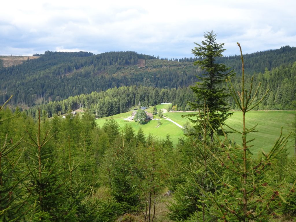
The tour starts at the center of Fischbach (GPS: 47.441629, 15.651505) and follows the marked trail using streets, hiking trails and paths northwards towards Alpl and Stuhleck. The tour does a recommended detour from the main trail towards Teufelsstein, a unique rock in the middle of nowhere that can be climbed. The tour then continues towards Alpl and after a well-deserved break with delicious food at Schlagobersbauer, the tour then continues towards Pretul, passing by the Roseggerhaus and finally ascends Stuhleck. The tour then descends shortly towards Pfaffensattel pass.
Tour Description
| 00:00 | Start at the parking in the center of Fischbach (GPS: 47.441629, 15.651505) and follow the street northwestwards through the village (follow the alpannonia markings towards Stuhleck). |
| 00:15 | At the village border, turn left into the smaller street towards Teufelstein (follow the alpannonia markings). |
| 00:20 | Cross the street and follow the smaller street northwards. |
| 00:30 | At the crossing, turn left into the trail and follow the trail westwards through the forest. |
| 00:45 | At the parking of Teufelstein, turn right and follow the forest road northwards (follow the alpannonia markings). |
| 01:05 | At the crossing, turn right and follow the trail for a few meters. |
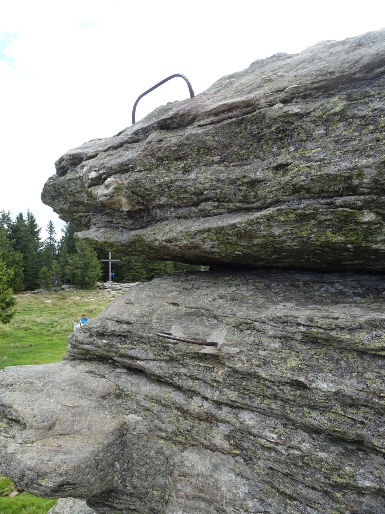
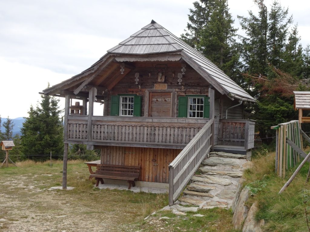
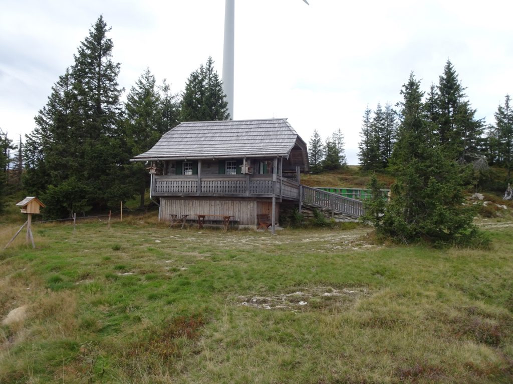
| 01:06 | Recommended detour: Turn left and follow the forest road up to Teufelsstein passing by the Teufelsteinhütte. |
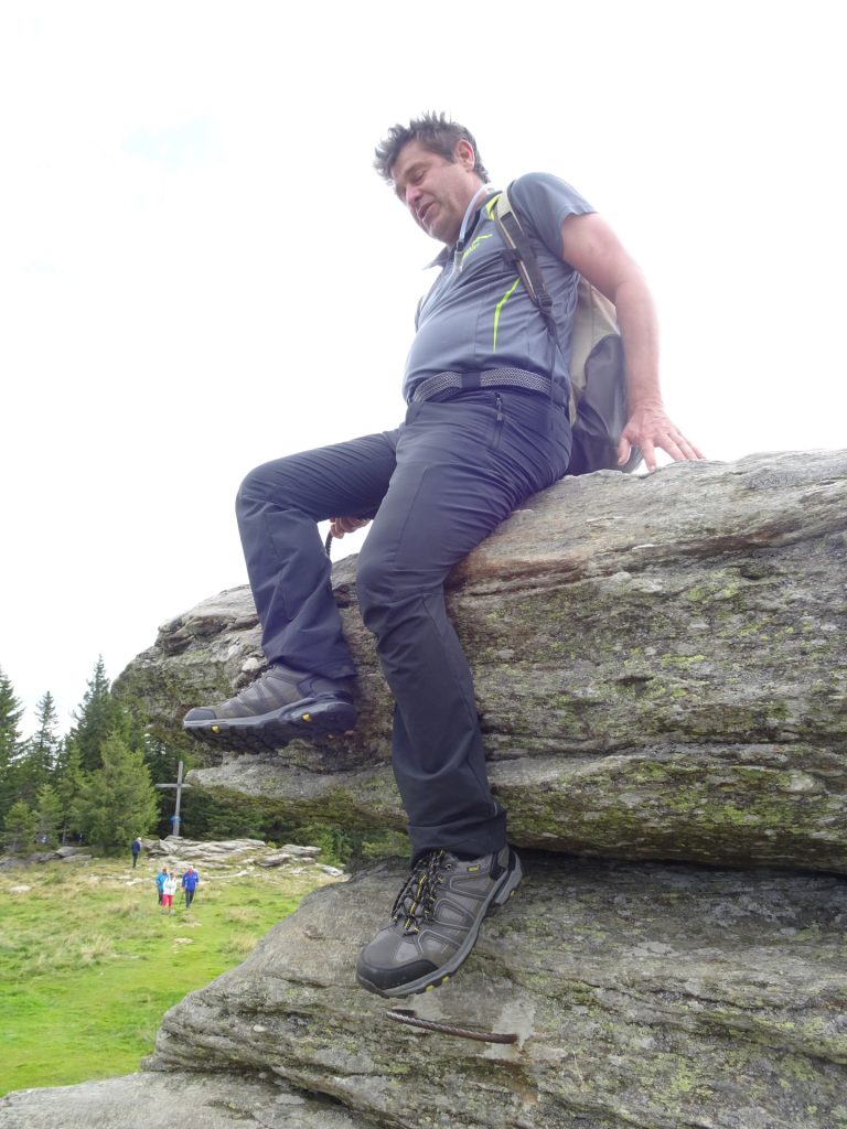
| 01:20 | Climb up the Teufelstein and enjoy the unique atmosphere from this rock in the middle of nowhere. |
| 01:30 | Hike back to the crossing at Teufelsteinhütte (start of the detour). |
| 01:40 | At the crossing, turn left and end the detour. Continue following the Alpannonia® main trail heading eastwards (see alpannonia markings). |
| 02:05 | Turn left into the Alpsteig and follow the trail northwards (see alpannonia markings). |
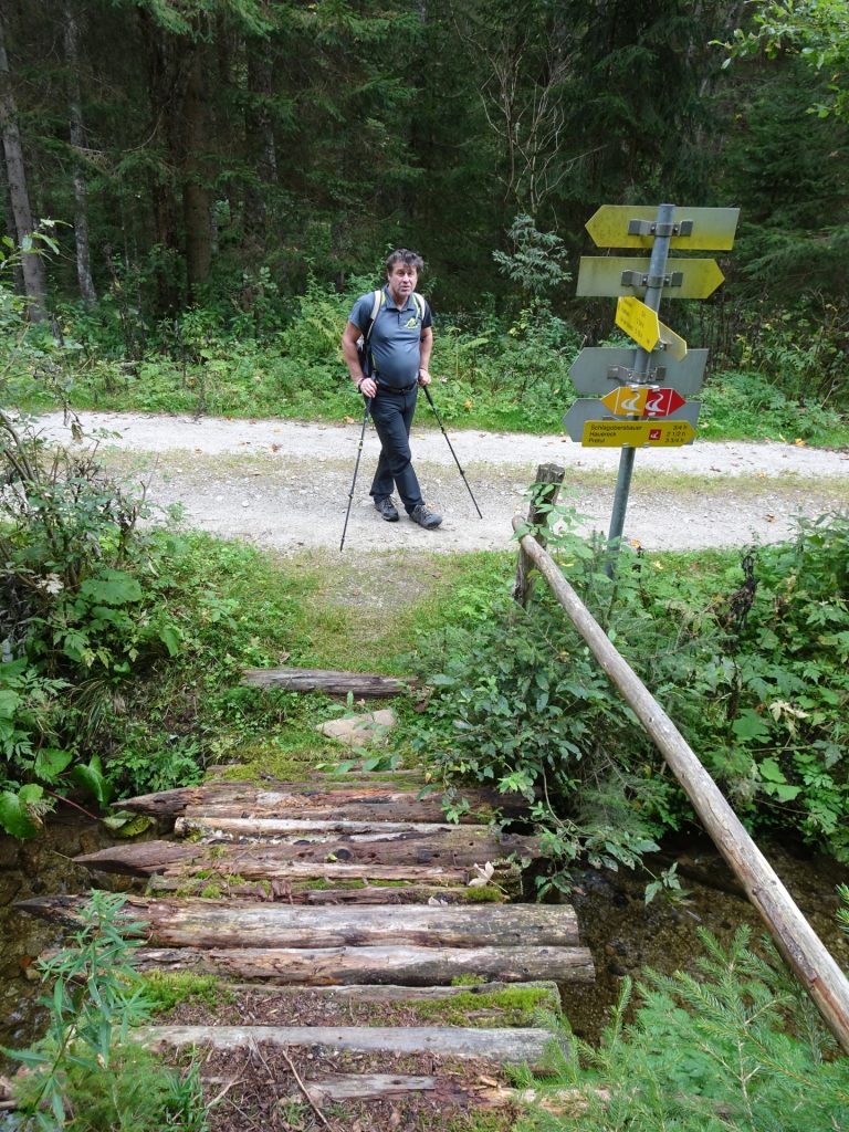
| 02:40 | At the crossing (end of the trail), turn right and follow the forest road towards Schlagobersbauer (see signposts). |
| 02:45 | At the crossing, turn right and follow the trail eastwards. |
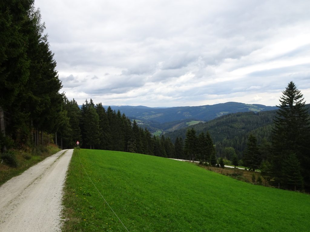
| 03:05 | At the crossing, keep left 2x and follow the forest road northwards. |
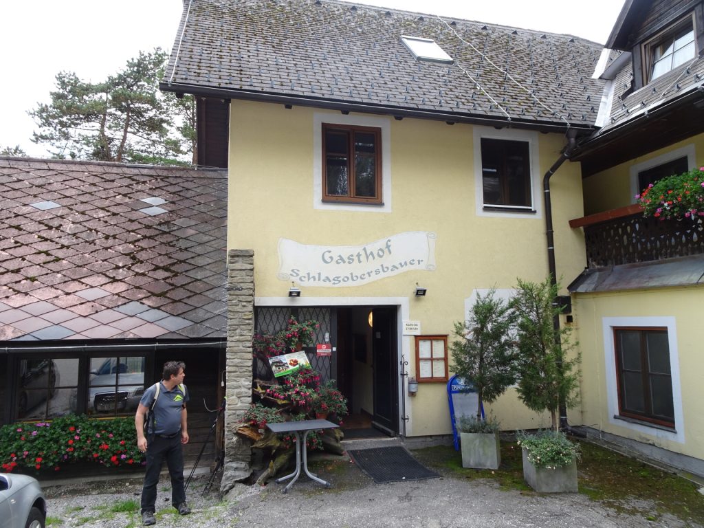
| 03:25 | At the crossing , turn left and follow the trail towards Gasthof Schlagobersbauer (see signpost). |
| 03:30 | Well deserved break ( ) at Schlagobersbauer. Enjoy the excellent food and rest a bit. |
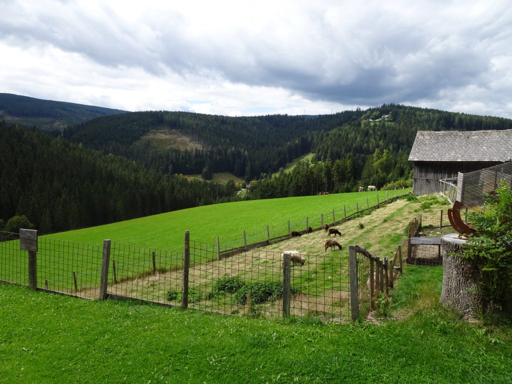
| 04:35 | Continue following the street westwards passing by the nice houses and then through the forest till reaching the main street. |
| 04:45 | Cross the main street and follow the trail turning right just above the main street. |
| 04:55 | Turn right into the trail (see alpannonia markings!) and follow the trail northeastwards towards Jäger Höhe and then Pretul. |
| 05:30 | At the crossing, keep straight ahead and follow the trail towards Pretul / Stuhleck. |
| 05:50 | Pass by the Hauereckschutzhütte at the ski resort and continue following the trail eastwards (see alpannonia markings). |
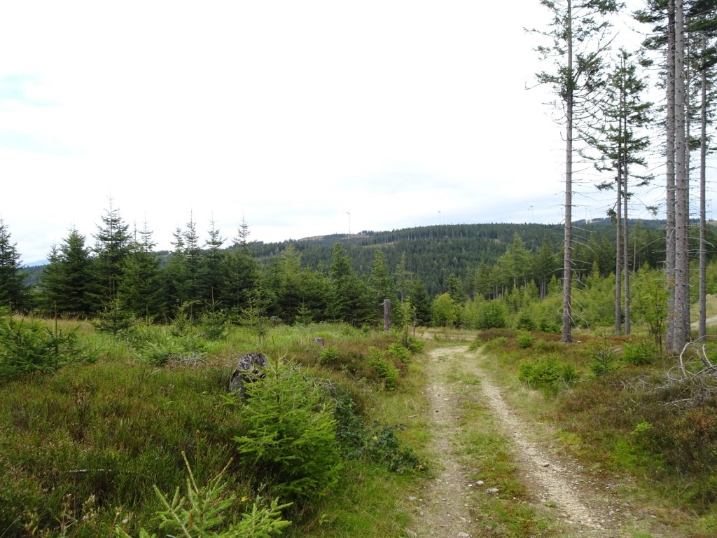
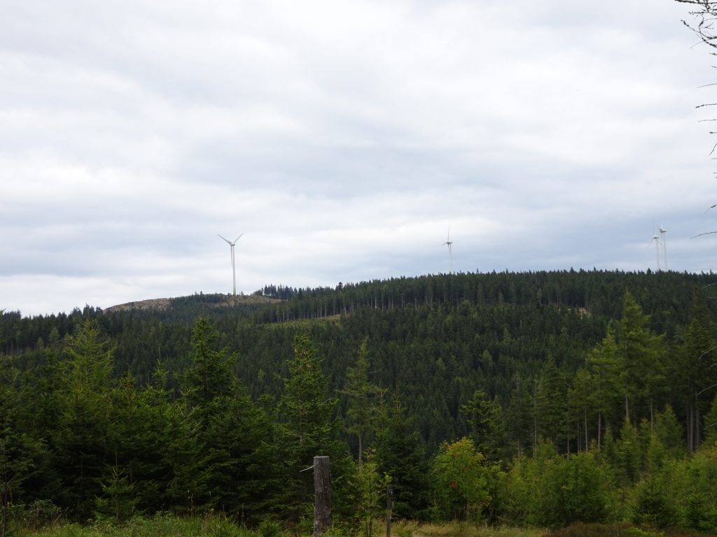
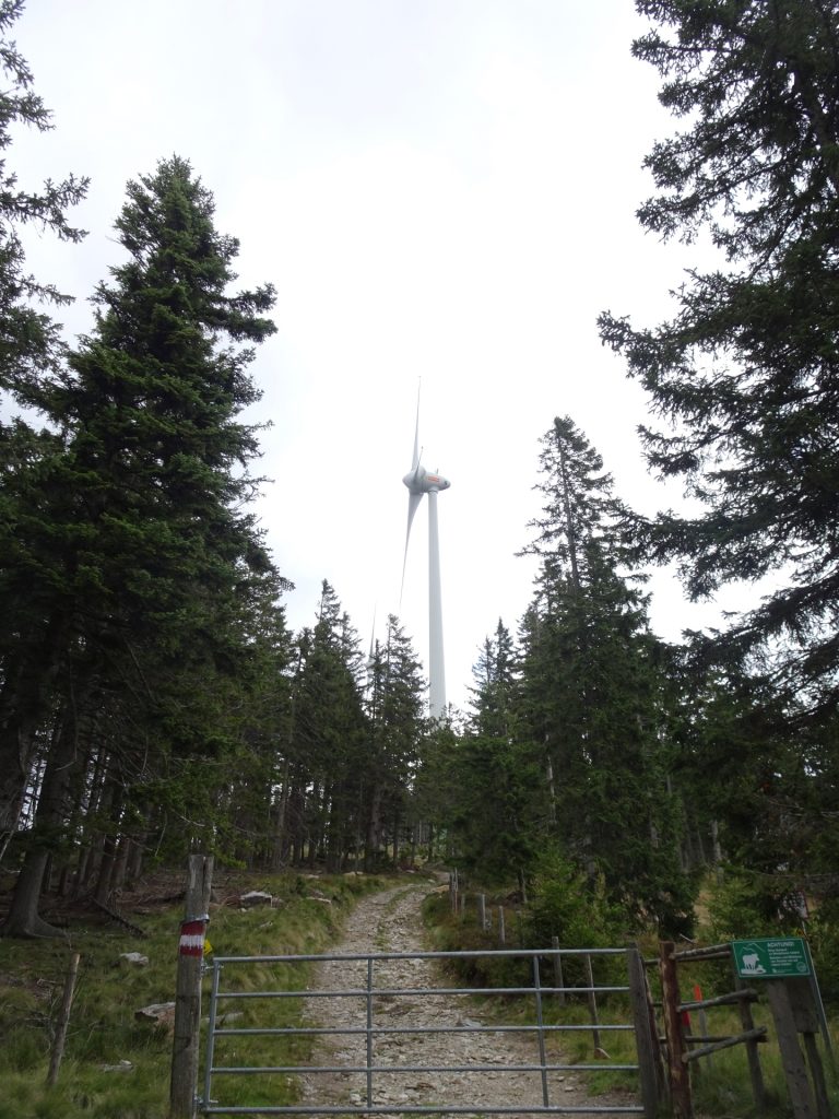
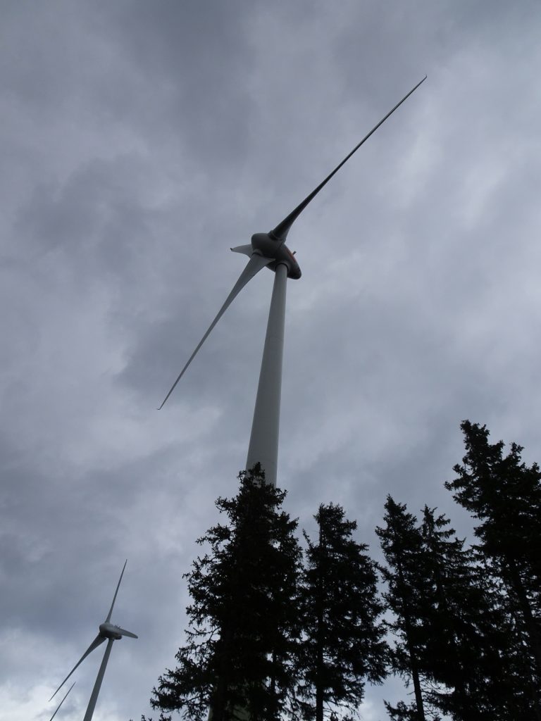
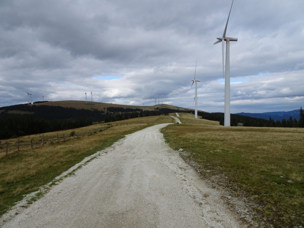
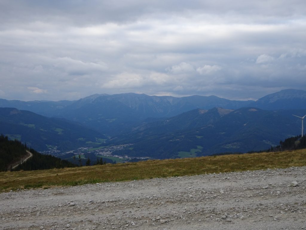
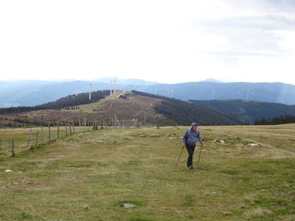
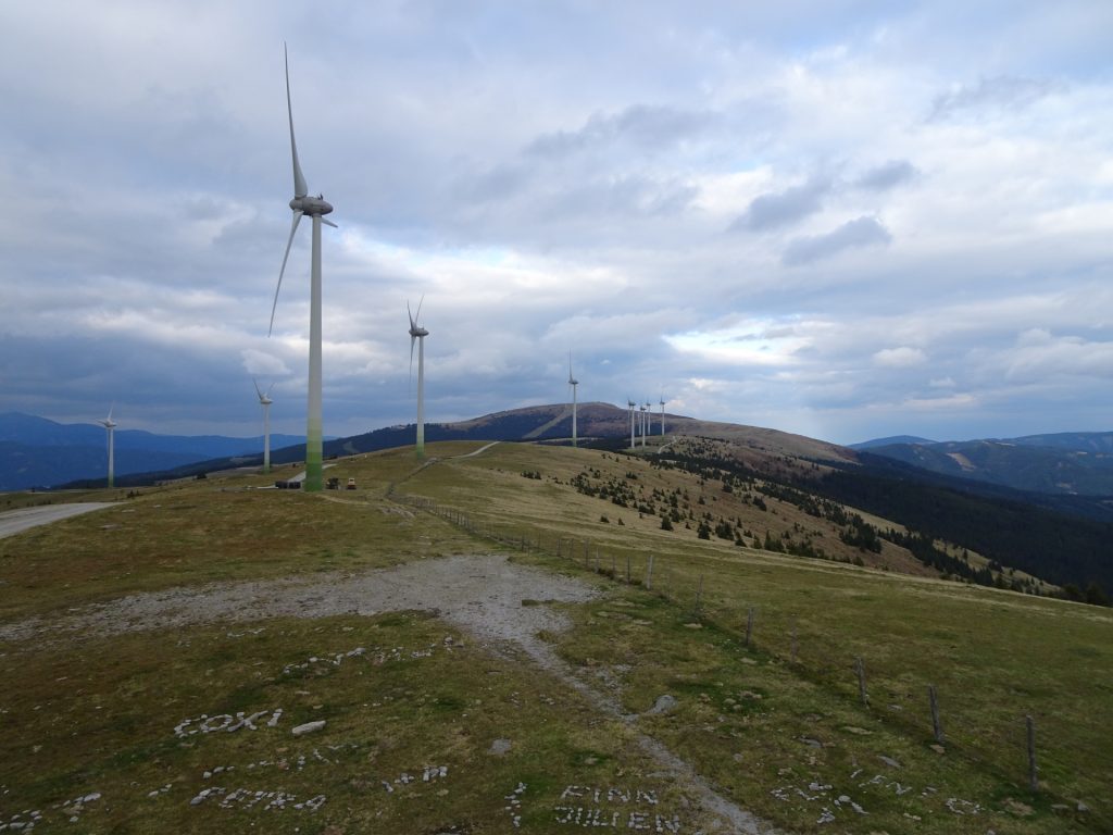
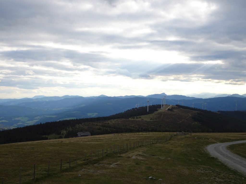
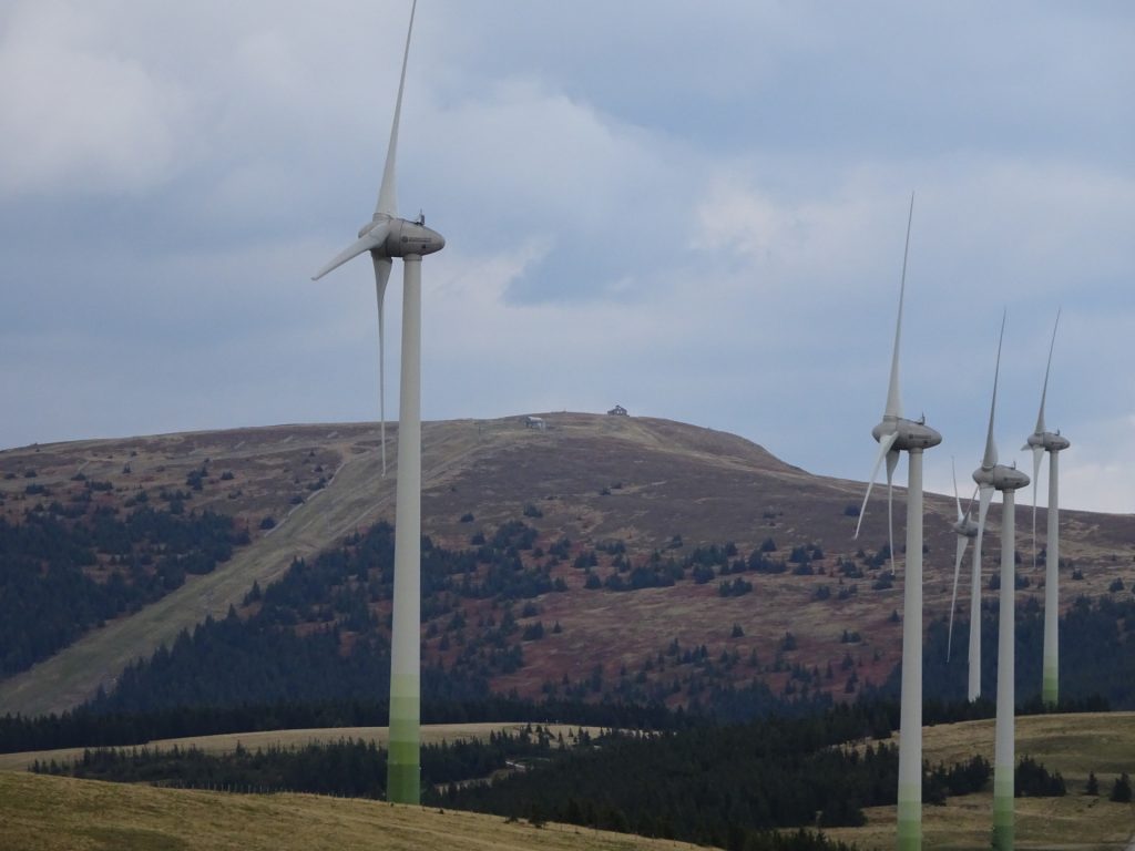
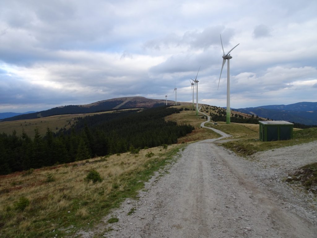
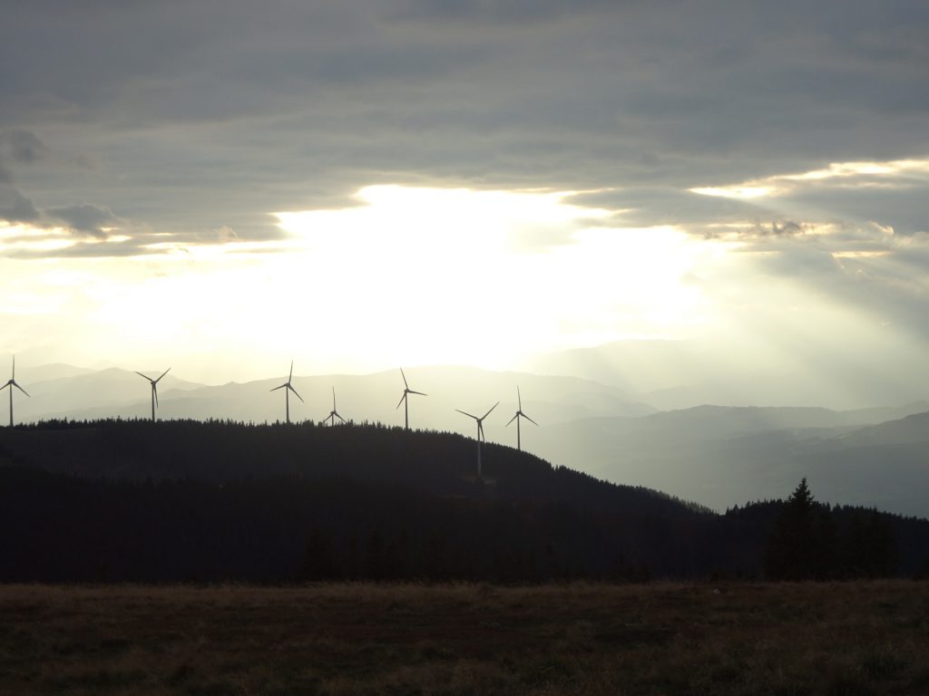
| 06:05 | Pass by the first impressive wind generators and continue following the forest road (alongside the wind generators). |
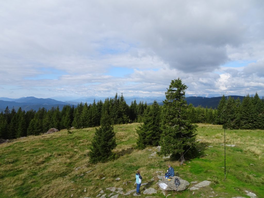
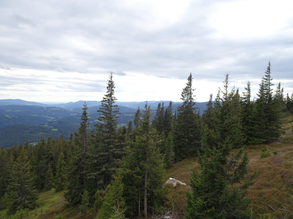
| 06:20 | Detour: Trun right and follow the trail southwards towards the Steinwandhittn. Enjoy the view from there (best enjoyed with a self-brought refreshment ). Then hike back and continue following the alpannonia main trail eastwards. |
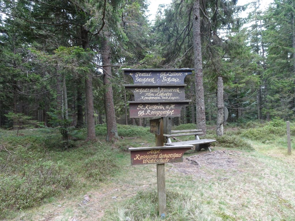
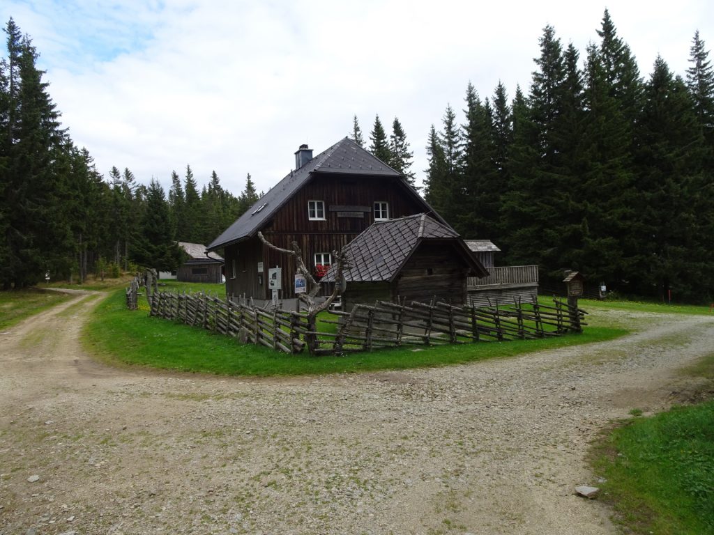
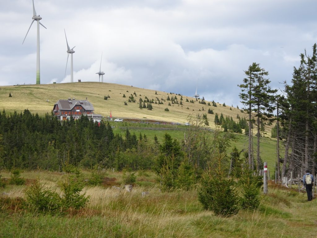
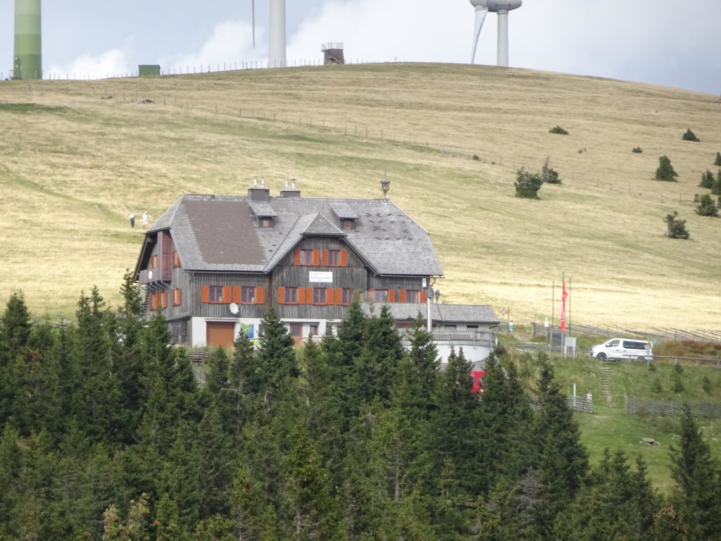
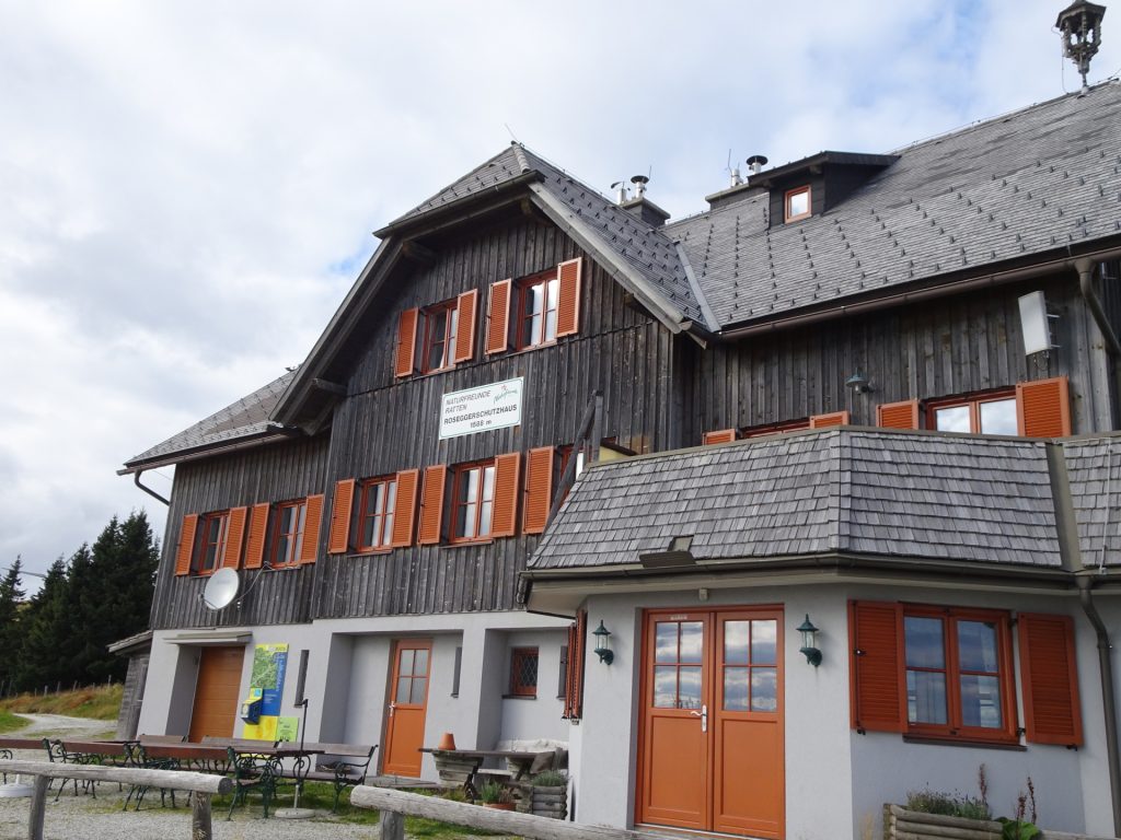
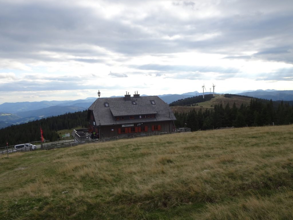
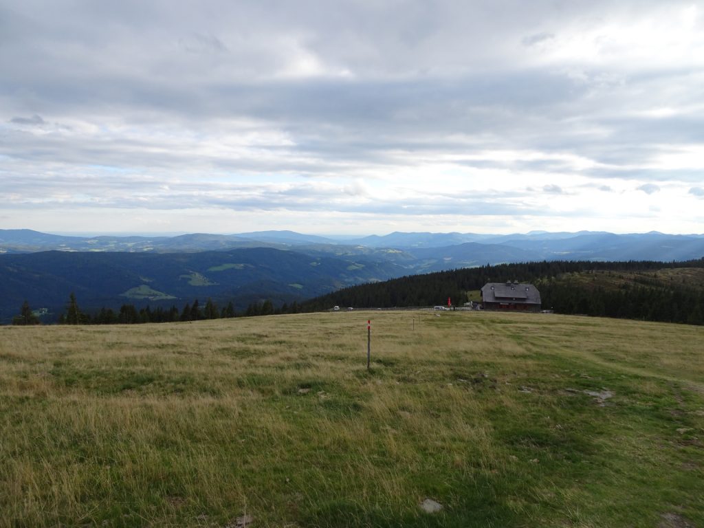
| 07:05 | Well deserved break ( ) at the Roseggerhaus. Rest a bit and recharge for the final ascent. |
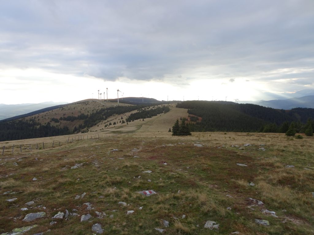
| 08:05 | Continue following the trail northwards towarsd the 2nd wind generator park. |
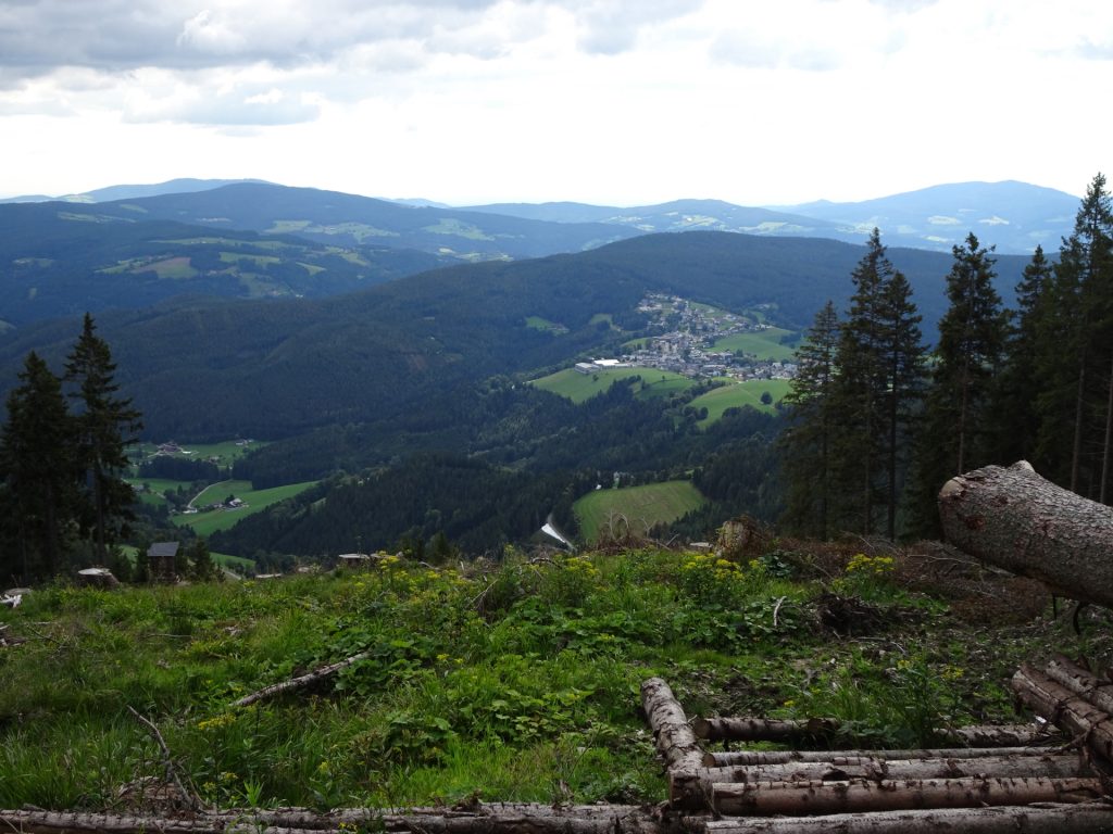
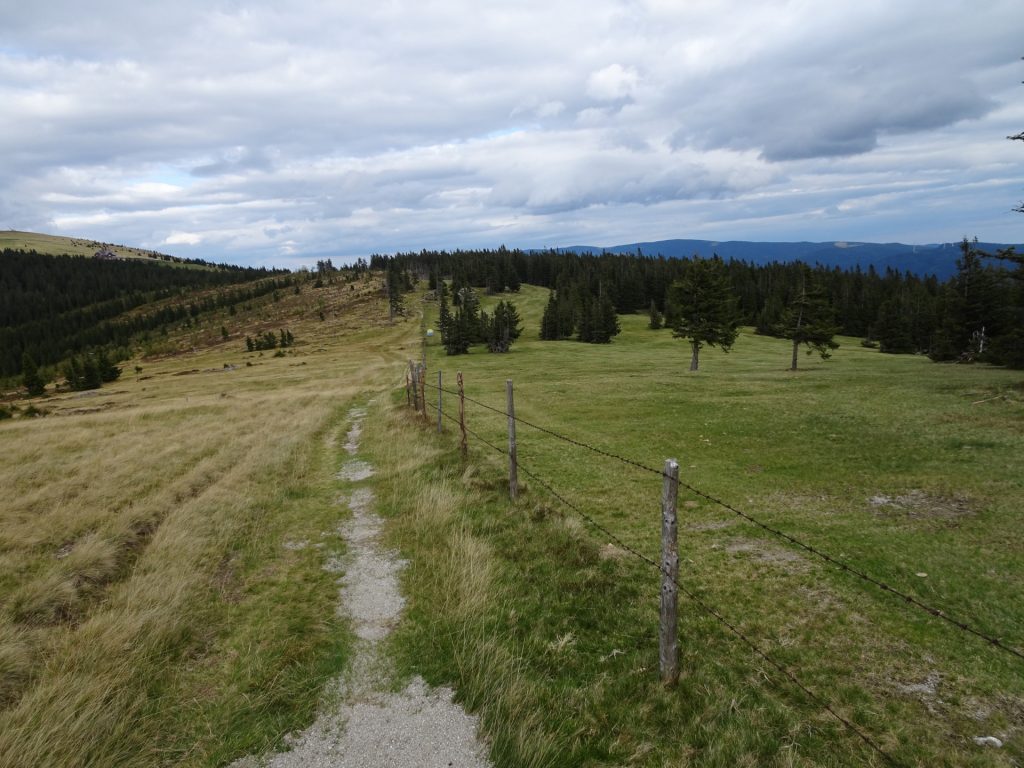
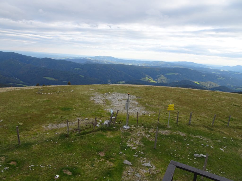
| 08:20 | Enjoy the view from the viewing platform at Pretul. Continue following the trail northeastwards towards the already visible Stuhleck. |
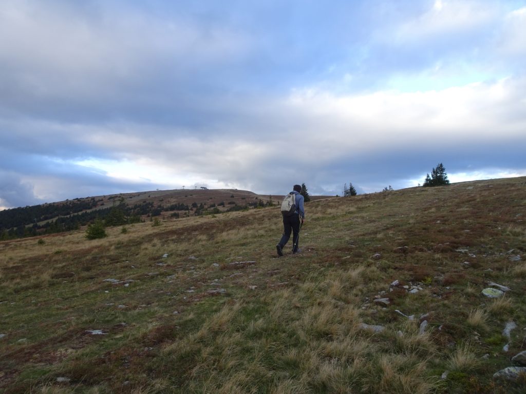
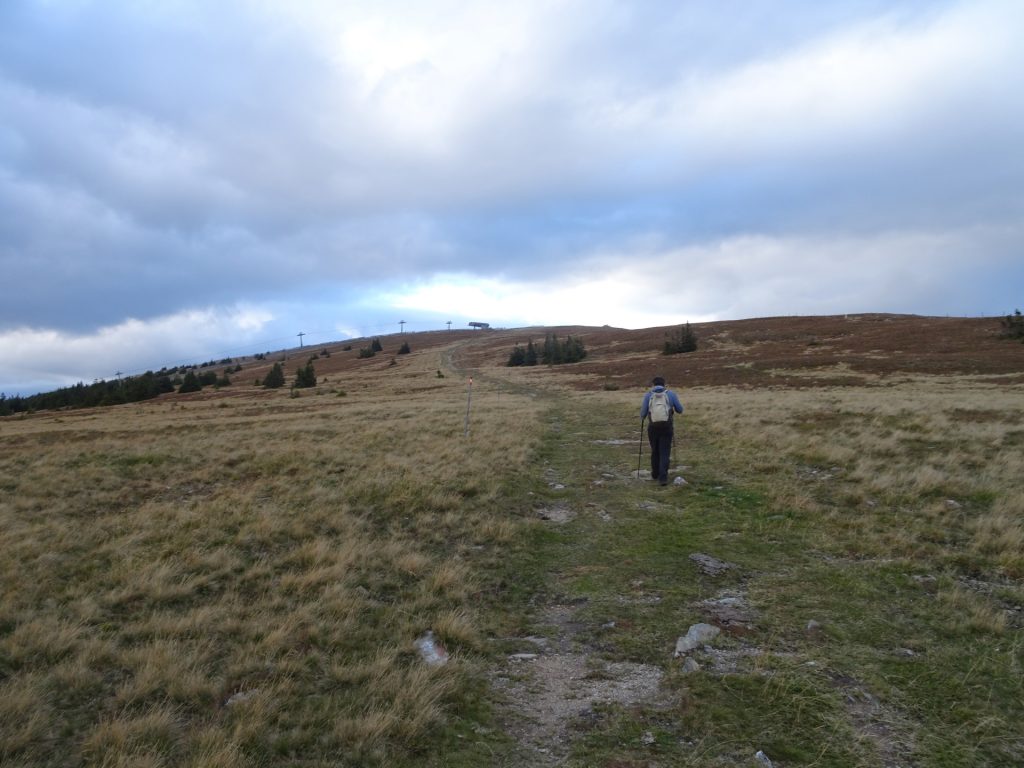
| 08:45 | Pass by the Grazer Stuhleck and follow the marked trail eastwards to Stuhleck (final ascent!). |
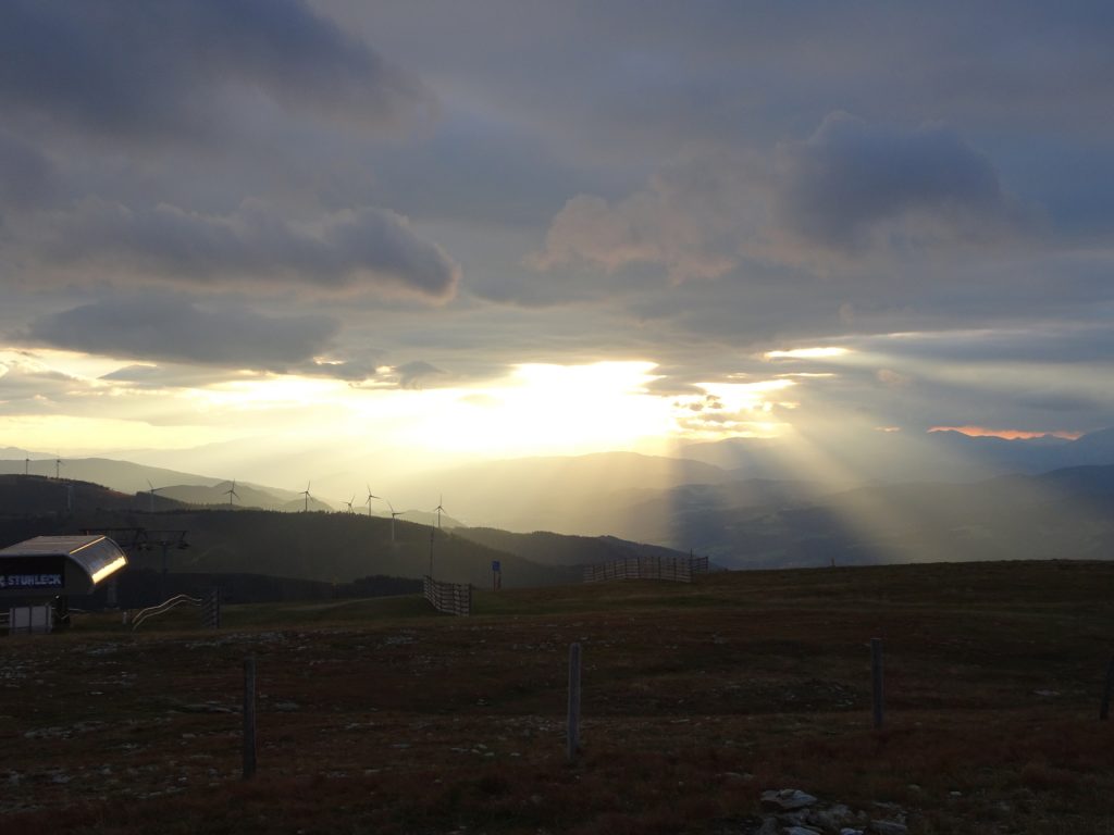
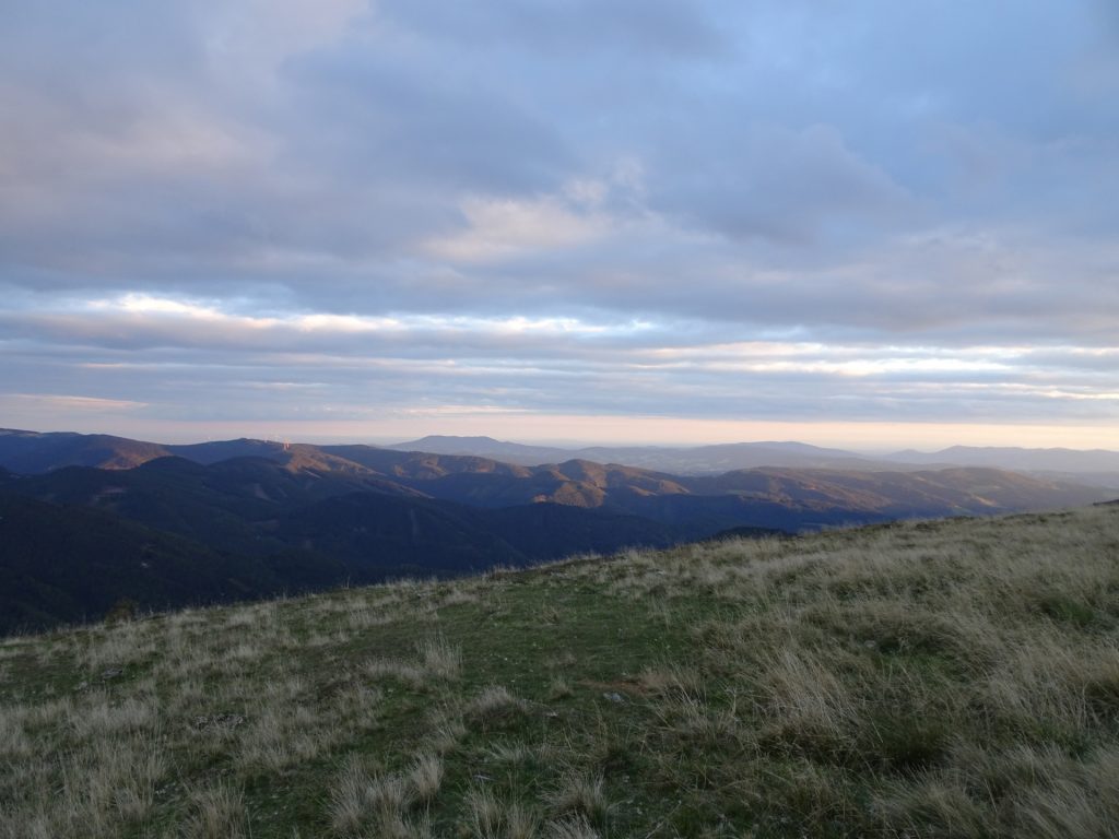
| 09:30 | Enjoy the view over the wind park and the ski resort from the summit of Stuhleck. Consider a final refreshment () at the Alois-Günther-Haus. |
| 09:45 | Follow the trail eastwards from Alois-Günther-Haus towards Paffensattel (see alpannonia markings and signposts!). |
| 10:15 | Arriving at Pfaffensattel parking. End of the tour. |
General Tour Data
| Area: | Styria & Austria | |
| Distance: | 33km | |
| Ascent: | 1388m (4h 20min) | |
| Descent: | 1013m (2h 50min) | |
| Highest Pt: | 1782m | |
| Lowest Pt: | 994m | |
| Duration: | 8h 10min (without breaks) 10h 15min (with breaks) |
|
| Stop/Rest: |
Schlagobersbauer (1075m) Schutzhütte Hauereck (1300m) Roseggerhaus (1588m) Alois-Günther-Haus (1782m) |
|
| Equipment: | Backpack with standard hiking equipment Comfortable hiking shoes Snacks, some food and plenty of water Sun & Weather protection 1x Gipfelbier Camera |
| Download GPX | ||
| O | Tour at outdooractive.com |
At a glance
| Level | difficult |
| Technique | |
| Shape / Fitness | |
| Experience | |
| Scenery | |
| Best time in the year | |
|
Jan
Feb
Mar
Apr
May
Jun
Jul
Aug
Sep
Oct
Nov
Dec
|
|
Tour Diary
2021-09-18 09:00
| Weather: | Mixed conditions | |
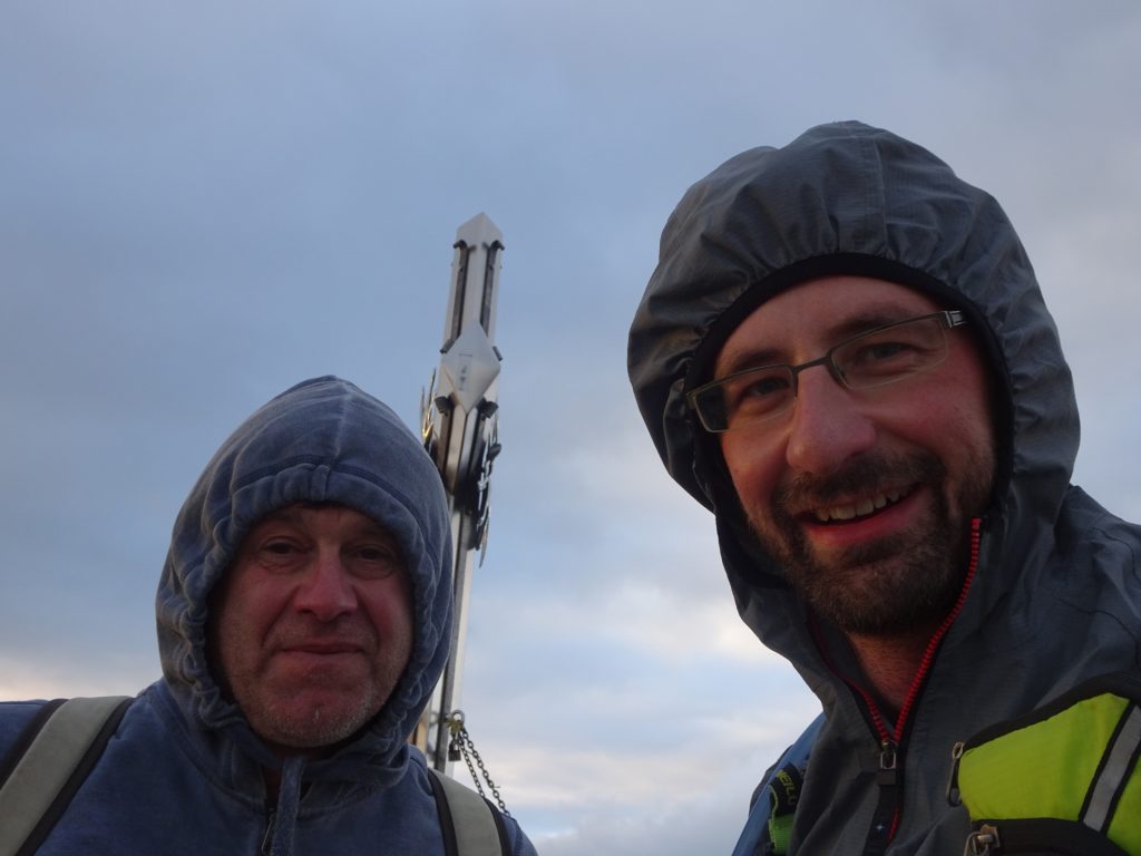
| Participants: | Stefan, Robert | |
| Activity: | Strava | |
| Comment: | We did the tour with two cars, were one car was parked at the Pfaffensattel and the other one in Fischbach. Please be aware, that the tour is normally done on two steps. Doing the tour on a single day is pretty demanding! |









Leave a Reply