
Hike up Hoher Lindkogel, via the Helenental and Kalkgraben and back via Schwarzberg and the Rauhenstein ruin
The tour starts at the train station in Baden and first follows the marked hiking route along the Schwechat river through the city border. It then follows the trail 04, still along the Schwechat river through the first part of the Helenental till reaching the Antonsgrotte. The route then turns left and follows the green marked trail southwards through the Kalkgraben. After the ascent through the Kalkgraben, the route then follows again trail 04 up to Hoher Lindkogel whereas the steeper and more challenging route is taken. After a well-deserved break at the Schutzhaus Eisernes Tor at the Hoher Lindkogel, the tour descends via the Steiniger Weg northeastwards back into the Helenental. The tour then follows the trail alongside the river back to the Antonsgrotte and crosses the bridge and the street towards the Cholerakapelle. After a second break at the Gasthof zur Cholerakapelle, the tour then ascends again, bypassing the Cholerakapelle and then follows the blue marked trail towards Schwarzberg and further to the Rauhenstein ruin. The tour then uses the Rainerweg descending back to Baden and its train station.
Tour Description
Tour Description
| 00:00 | Start at the train station Baden and follow the main street westwards bypassing the park. |
| 00:05 | Turn left, cross the river via the bridge and then turn right, continue following the street on the river’s left handside. |
| 00:25 | Bypass the Weilburgpark, cross the main street and continue following the Weilburgstraße westwards. |
| 00:30 | STay on the trail and bypass the hill with the Rauheneck>/i> ruin. Continue following the Wegerl im Helenental trail (see signposts) along the river. |
| 01:15 | At the crossing, make a short visit to the Antonsgrotte but turn left and now follow the trail towards Hoher Lindkogel über Kalkgraben (see signpost) southwards away from the bridge. |
| 01:25 | At the crossing, turn left and follow the marked hiking trail westwards (now fairly ascending). |
| 02:00 | Keep right and follow the trail upwards. |
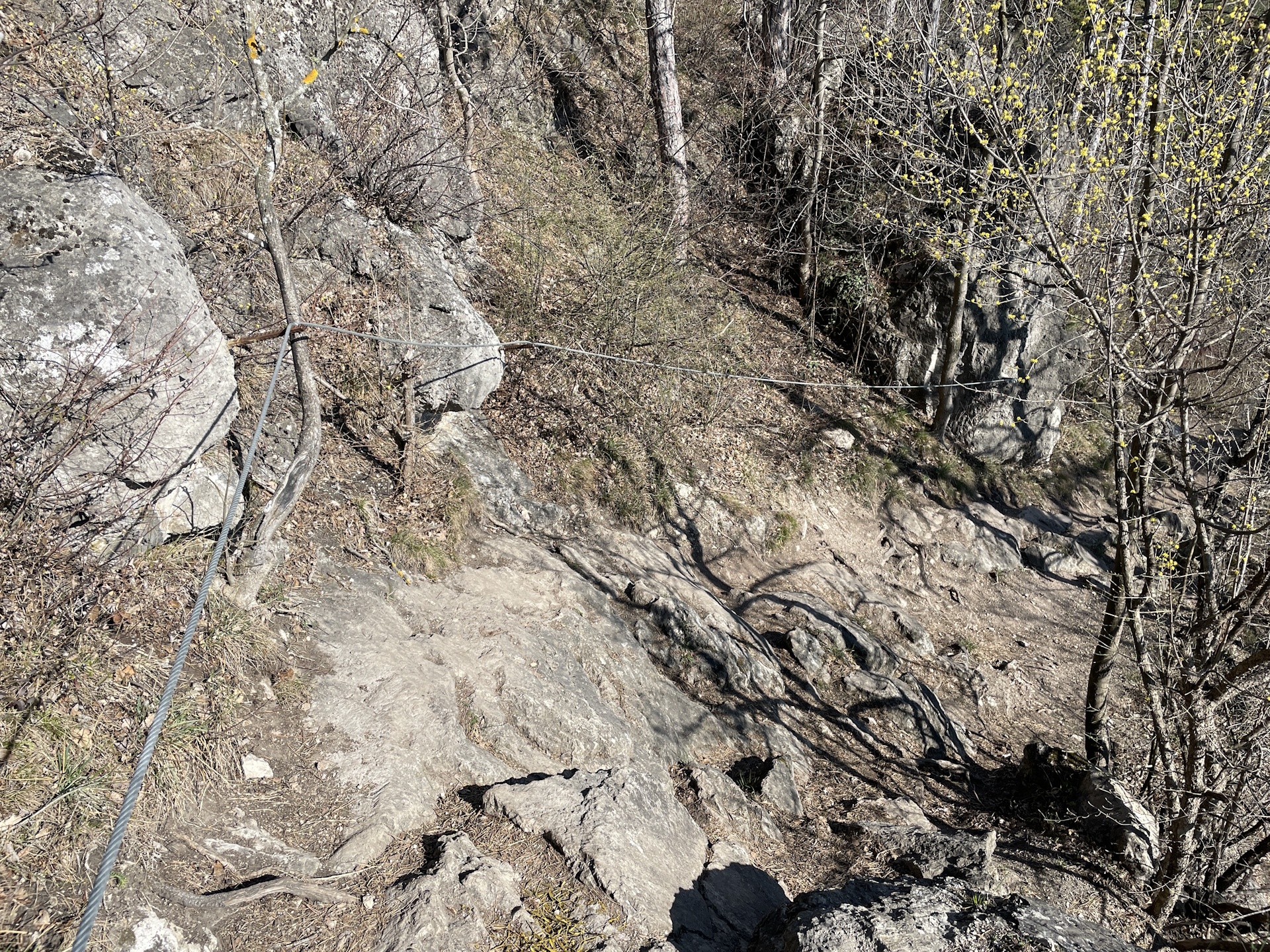
| 02:15 | At the crossing, turn left and follow the steep path up to Hoher Lindkogel über Brennersteig. Optionally, you can bypass the steep ascent by following the easier route up to Hoher Lindkogel (keep straigt). |
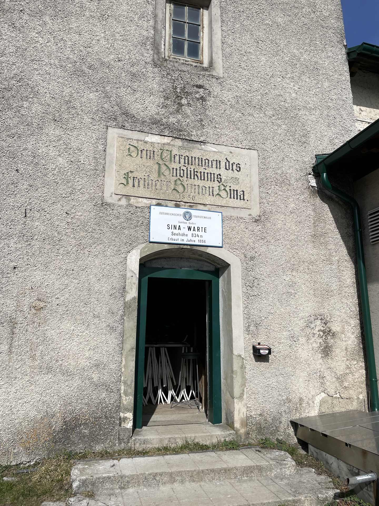
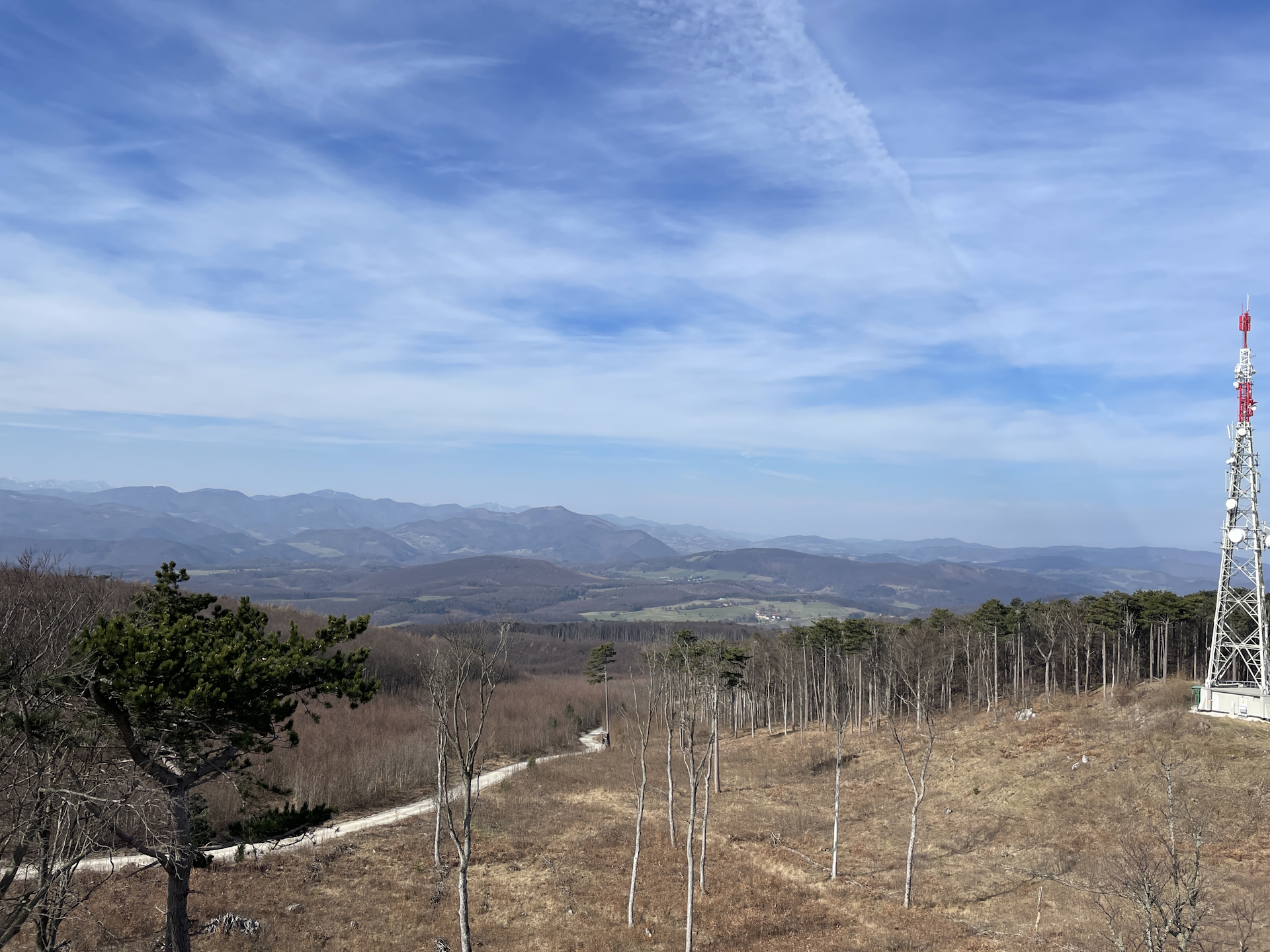
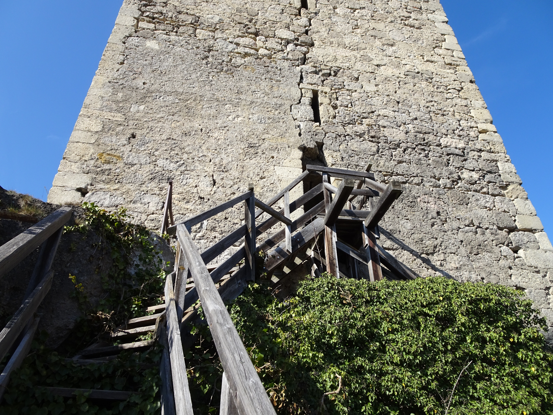
| 02:30 | Climb up the viewing platform and enjoy the view. Then enjoy a well-deserved break at Schutzhaus Eisernes Tor. |
| 03:15 | Now follow the trail Steiniger Weg eastwards towards Karlsruhe. |
| 03:25 | Bypass Karlsruhe and continue following the Steiniger Weg downwards. |
| 04:00 | Back at the river, turn right and follow the Wegerl im Helenental trail southwards back to the Antonsgrotte. |
| 04:10 | At the Antonsgrotte, turn left and cross the river via the bridge. Cross the street and enjoy a deserved break () at the Landgasthof zur Cholerakapelle). |
| 04:50 | Follow the trail behind the restaurant up to the Cholerakapelle and then continue on the marked trail upwards through the forest. |
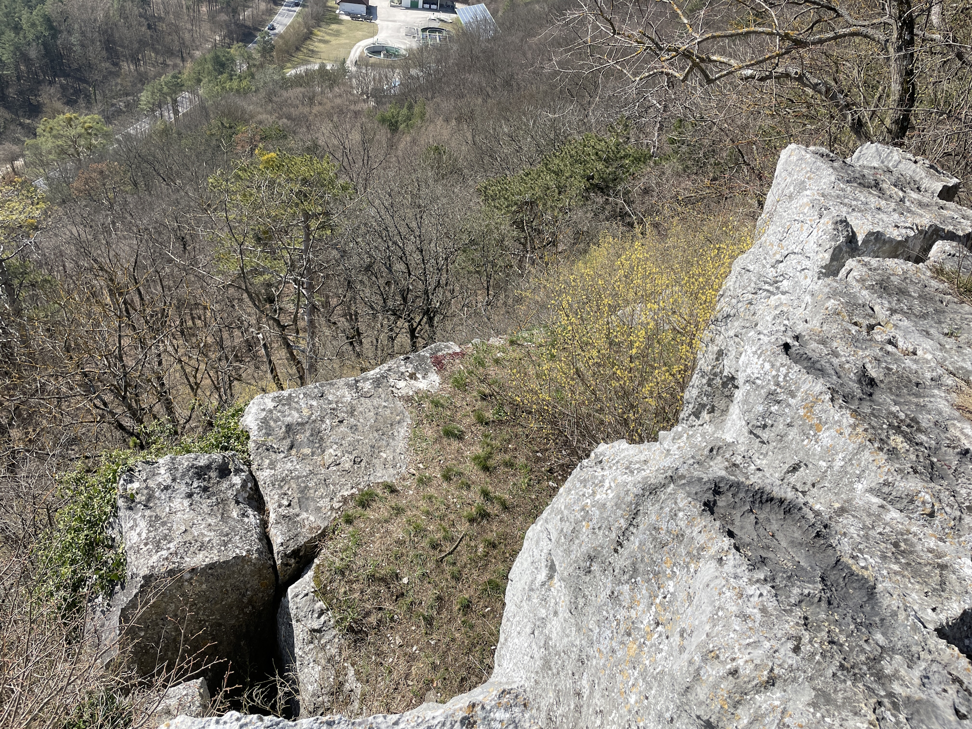
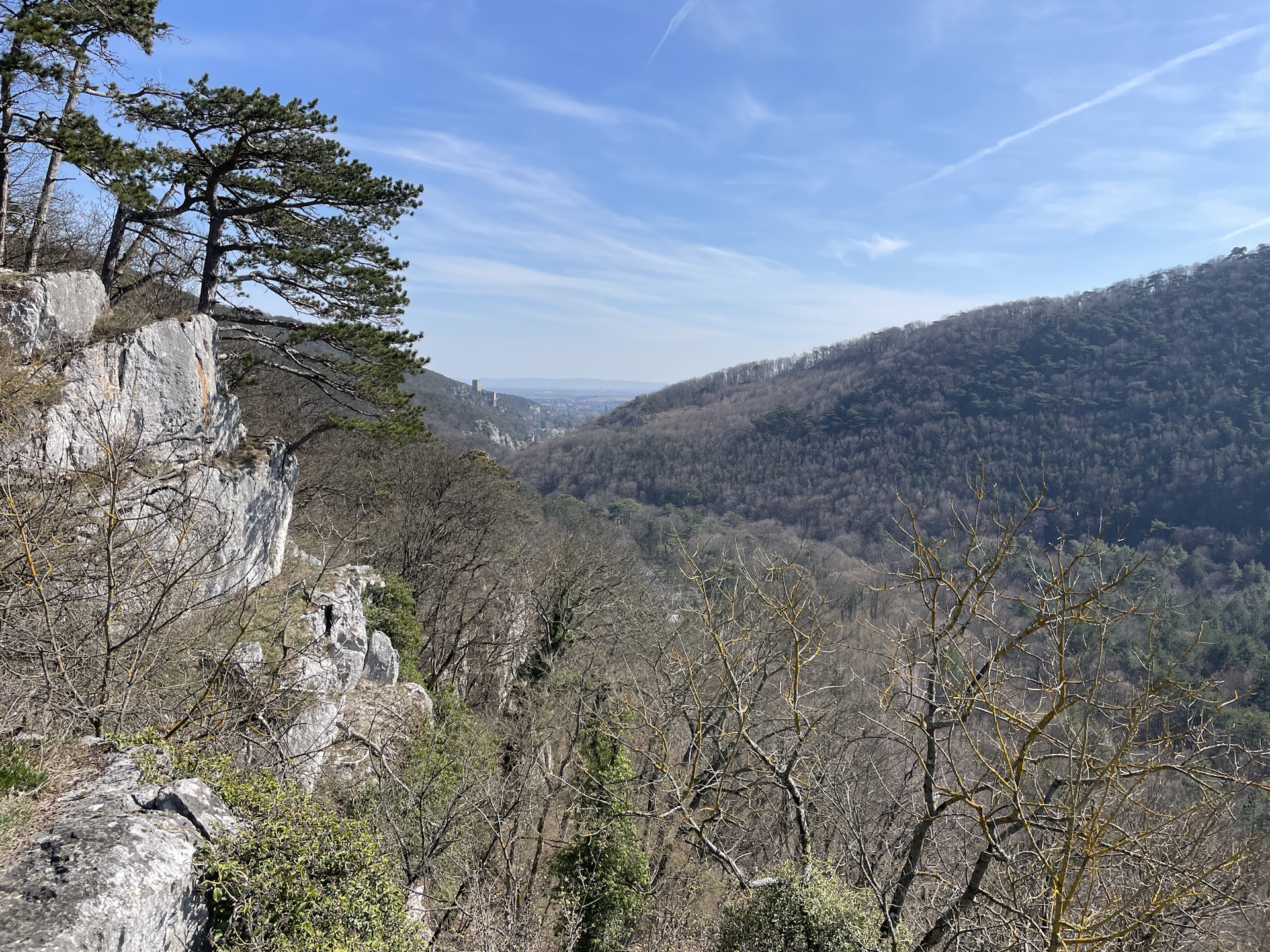
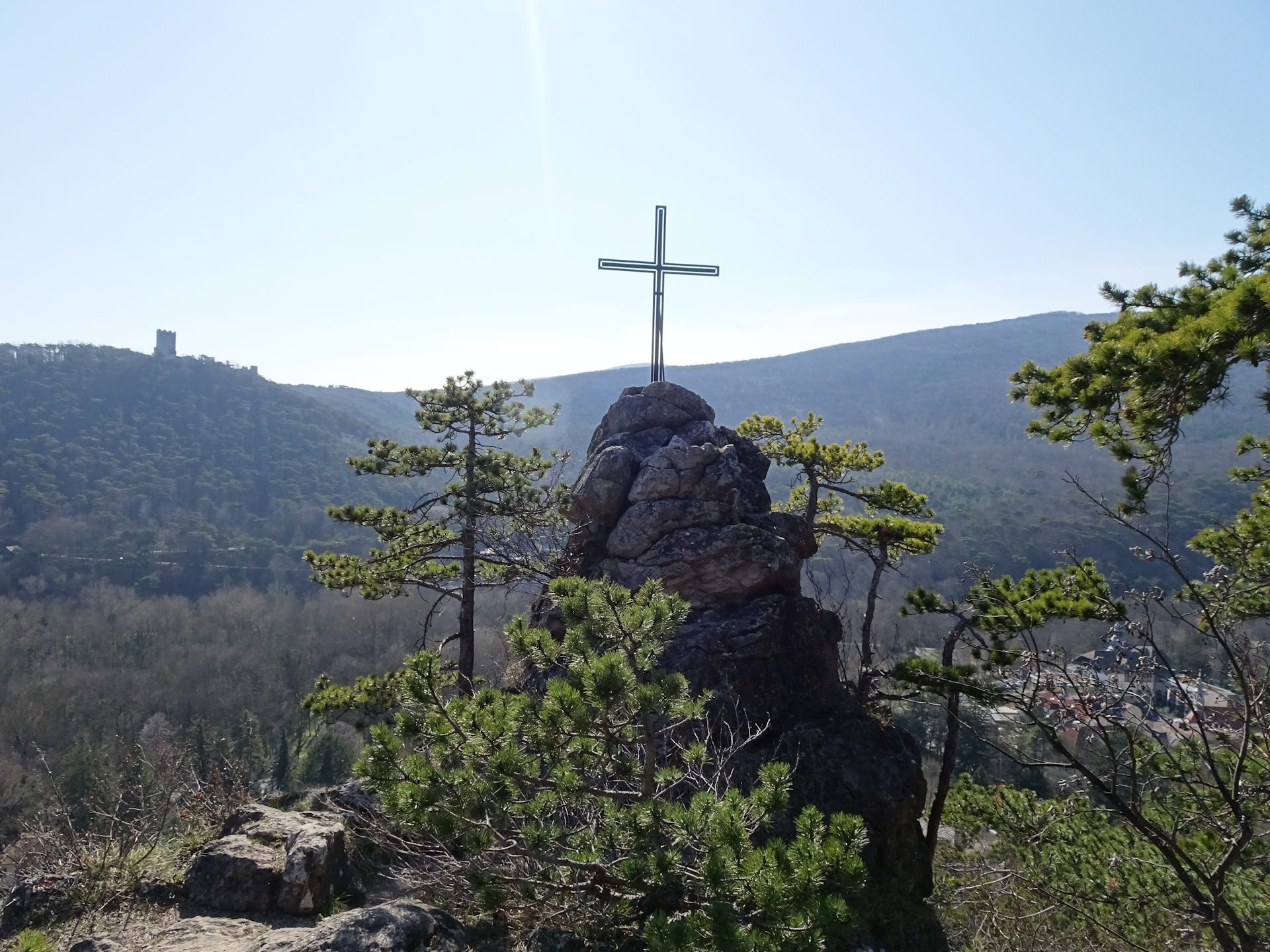
| 05:25 | Enjoy the view from the Schwarzbergschichtfuge and continue following the trail eastwards. |
| 05:40 | Cross the small street and then follow the trail above(!) the street eastwards. |
| 05:50 | Enjoy the view at the Urtelstein above the tunnel and then continue following the trail upwards (do not descend to the street!). |
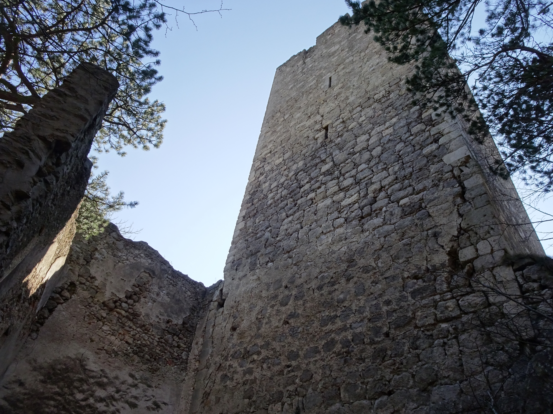
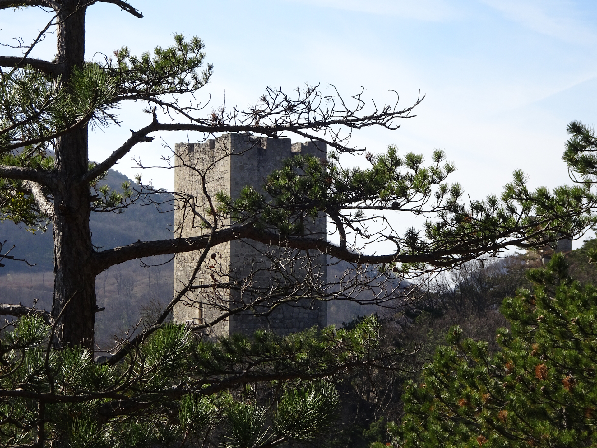
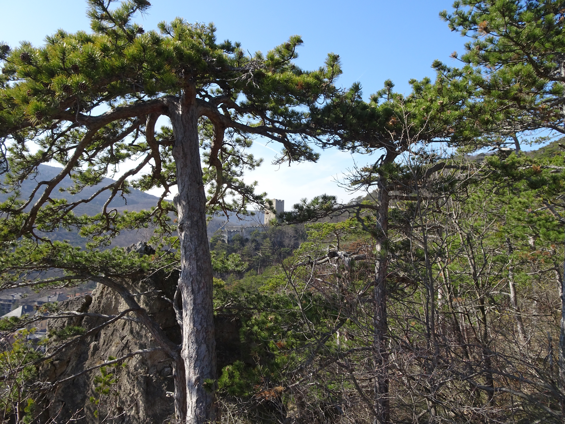
| 06:15 | Bypass the Rauhenstein ruin. The ruin itself is closed but allows a bit of exploration or serves as a perfect rest place (enjoy a self-brought refreshment ). |
| 06:35 | Continue following the trail eastwards descending down to Baden. |
| 07:00 | At Baden, turn right and follow the street into the city center. Then follow the main street (turn left) back to the train station. |
| 07:25 | Back at the train station, end of the tour. |
General Tour Data
| Area: | Wienerwald, Lower Austria, Austria | |
| Distance: | 25km | |
| Ascent: | 915m (3h 00min) | |
| Descent: | 947m (2h 05min) | |
| Highest Pt: | 834m | |
| Lowest Pt: | 226m | |
| Duration: | 5h 45min (without breaks) 7h 25min (with breaks) |
|
| Stop/Rest: | Schutzhaus Eisernes Tor (834m) Landgasthof zur Cholerakapelle (260m) |
|
| Equipment: | Backpack with standard hiking equipment Comfortable hiking shoes Snacks, Food and enough water 1x Gipfelbier Sun & Weather protection Camera |
| Download GPX | ||
| O | Tour at outdooractive.com |
At a glance
| Level | moderate |
| Technique | |
| Shape / Fitness | |
| Experience | |
| Scenery | |
| Best time in the year | |
|
Jan
Feb
Mar
Apr
May
Jun
Jul
Aug
Sep
Oct
Nov
Dec
|
|
Important Information
Please check the opening hours of the Schutzhaus Eisernes Tor. Especially during summer holidays, as the hut is closed in summer for a month.










Leave a Reply