
Climb up the Rax to Jakobskogel via the Wasserleitungsweg, the Jagdsteig and the Camillo-Kronich-Steig
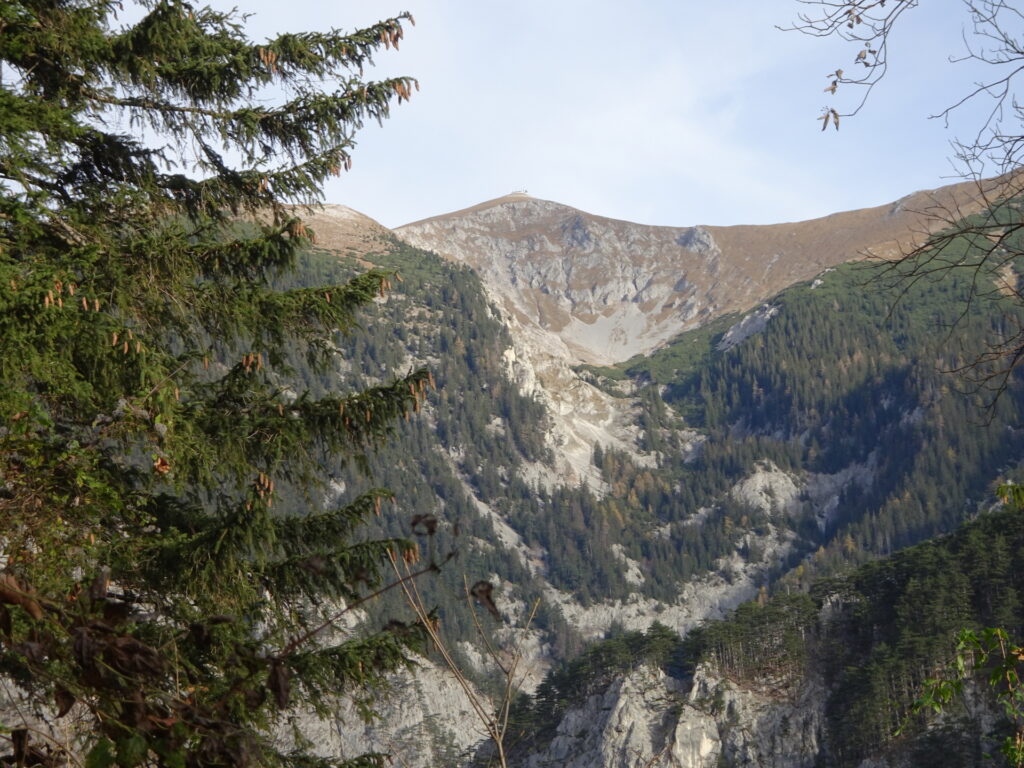
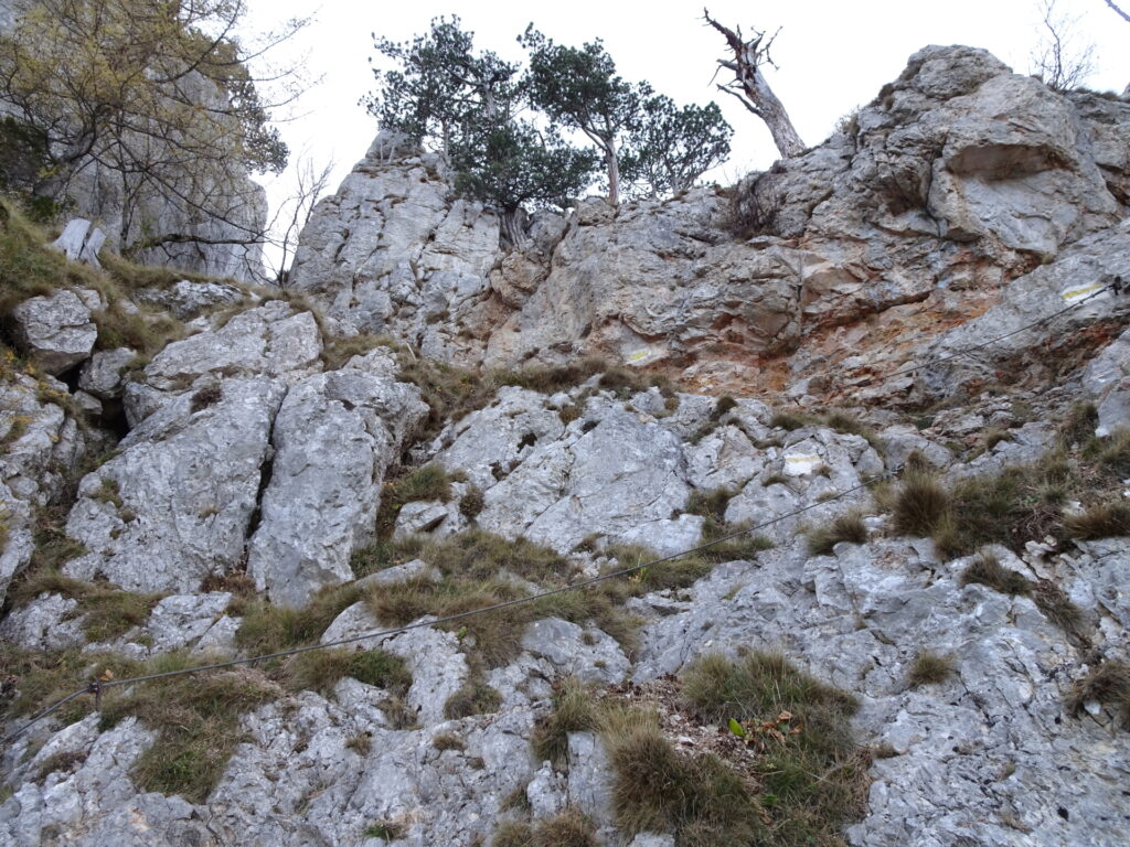
This tour climbs up the Rax to Jakobskogel, starting at the valley station of the cable car. First, the tour uses the promising Wasserleitungsweg in the direction towards Kaiserbrunn. A couple of meters before the Abbrennbrücke at the Finstertal, the tour then leaves the marked trail and follows the Jagdsteig path westwards, ascending through the forest and traversing towards the Camillo-Kronich-Steig. The tour then turns into the promising Camillo-Kronich-Steig (very easy Via Ferrata category A), and follows it up towards the mountain station of the cable car. After a deserved break at the Berggasthof, the tour continues following the easy hiking trail towards Ottohaus and then further up to the summit of Jakobskogel. The tour then descends directly back descend back towards the Ottohaus and then follows the trail through Schwaigboden along the ridge back to the mountain station bypassing the Törlkopf. The descent is done comfortably using the cable car.
| 00:00 | Start at the parking of the Rax cable car in Hirschwang an der Rax (GPS: 47.714353, 15.805018). First follow the street south and cross the bridge. |
| 00:05 | Turn sharp left into the 1. Wiener Wasserleitungsweg (see signpost) and follow this trail for a while. |
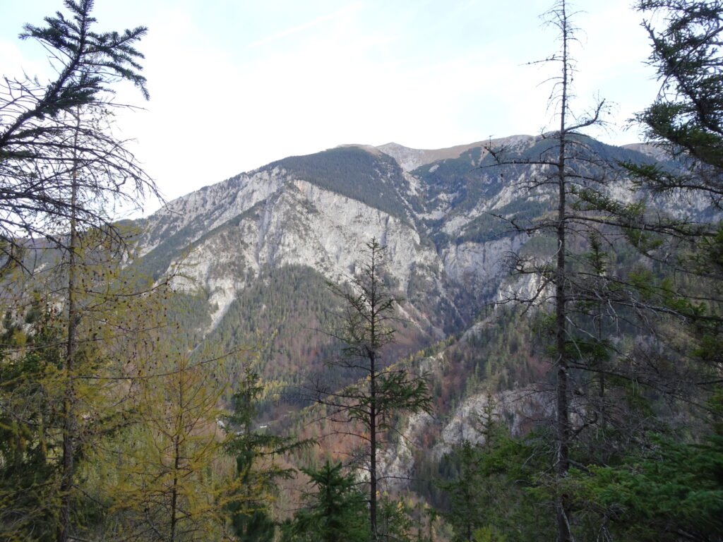
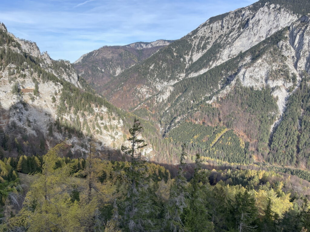
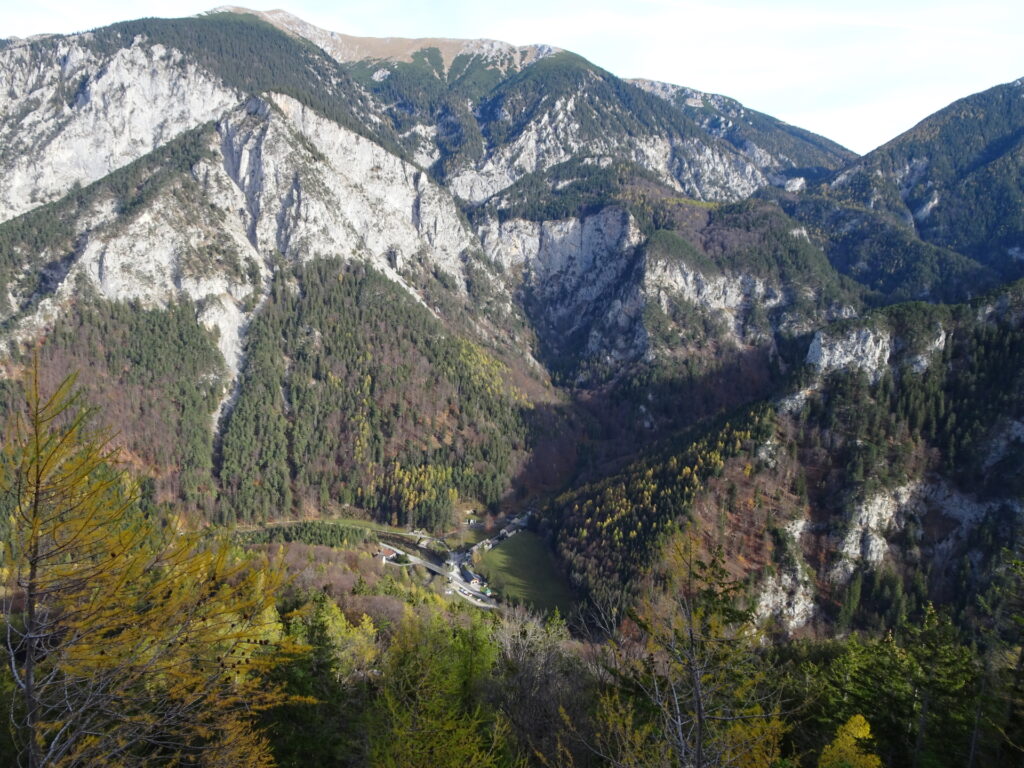
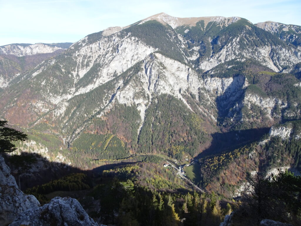
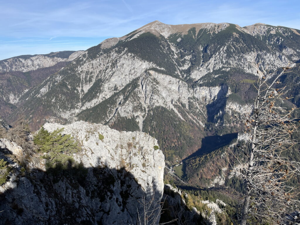
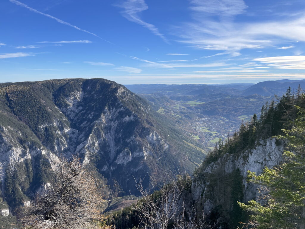
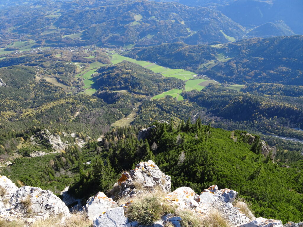
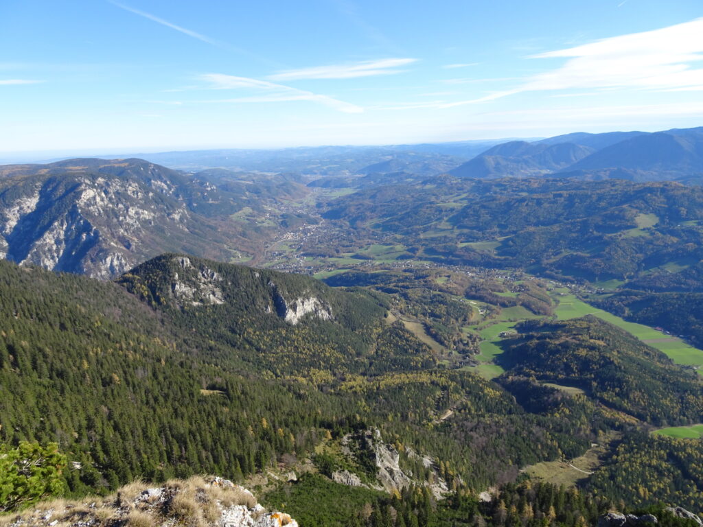
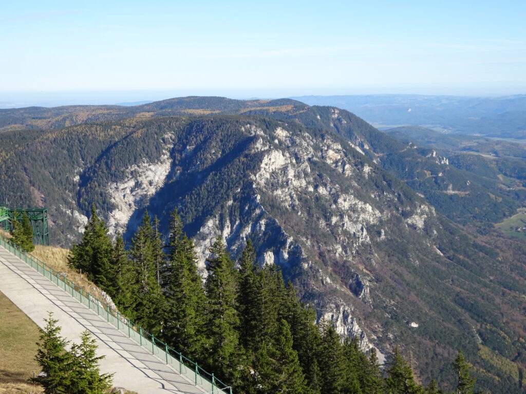
| 00:20 | Enjoy the view into the Schwarza gorge from the view point and descent down, continuing following the hiking trail. |
| 00:30 | (Carefully) Cross the street and continue following the hiking trail on the opposite street-side. |
| 00:35 | Cross the river over the new wooden bridge. |
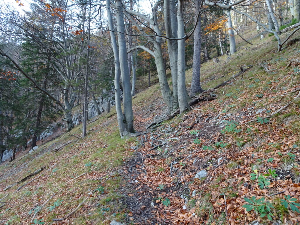
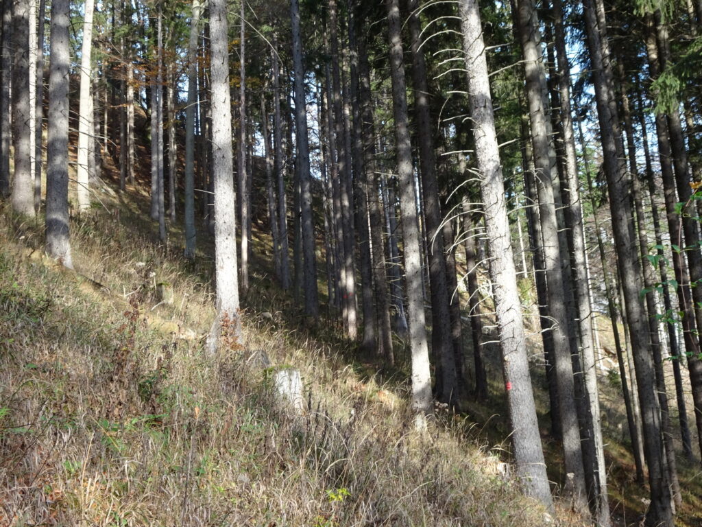
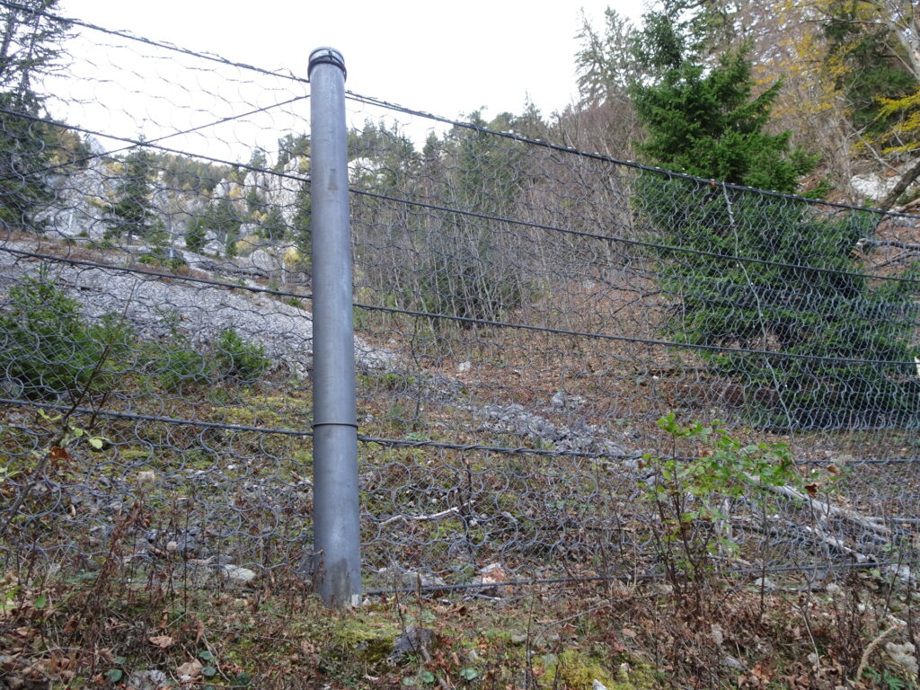
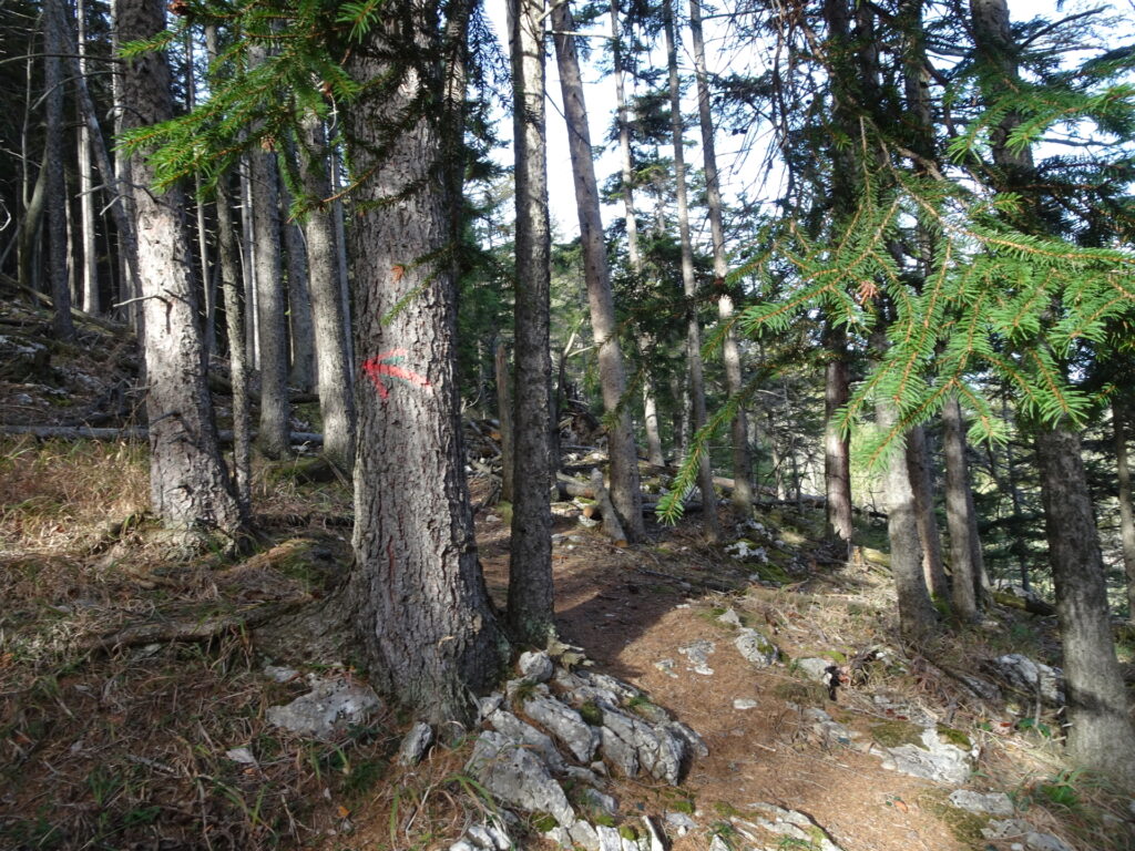
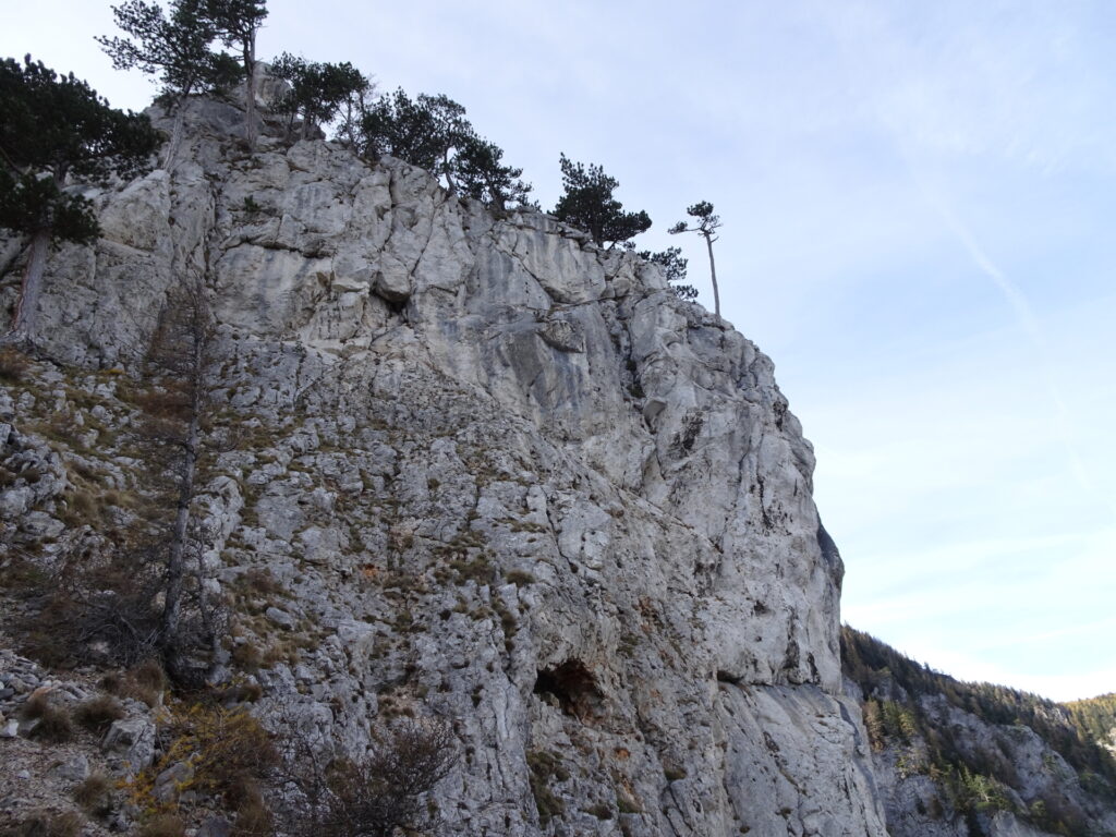
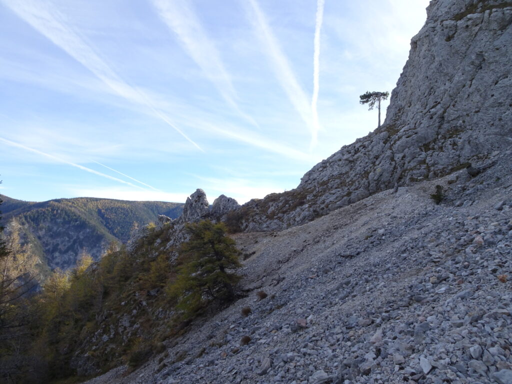
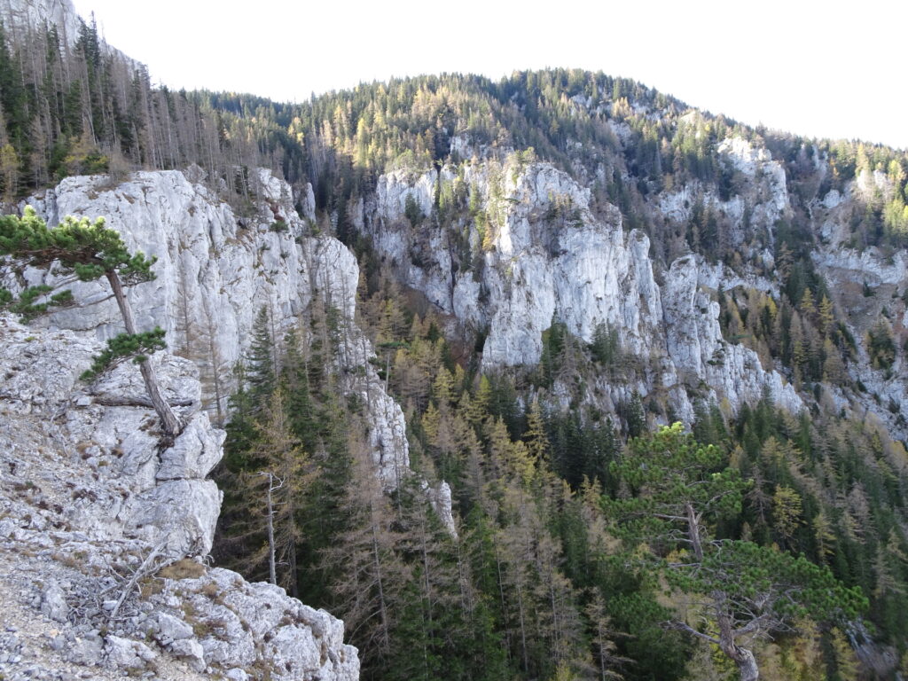
| 00:40 | Easy to miss: Just before the corner (heading left) and before descending, turn sharply left (U-turn) and try to find the traces of the Jagdsteig trail. The trail is marked with some “stone-men” (stapled stones) and the lower part also with orange/red markings. Those markings seem to be meant for personnel dealing with maintenance of the rock-fall protection nets. However, they serve as good orientation points to initially find the trail! |
| 00:50 | Do a U-turn and continue following the marked trail. |
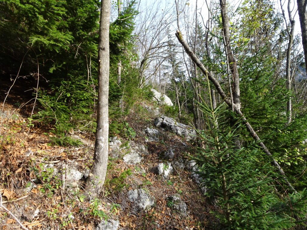
| 01:25 | Attention: The orange markings now direct to a (steep) trail on the left which leads to the protection nets and ends there. Keep straight (do a light left corner) and continue following the traces of a trail (northwestwards). |
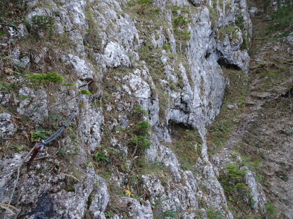
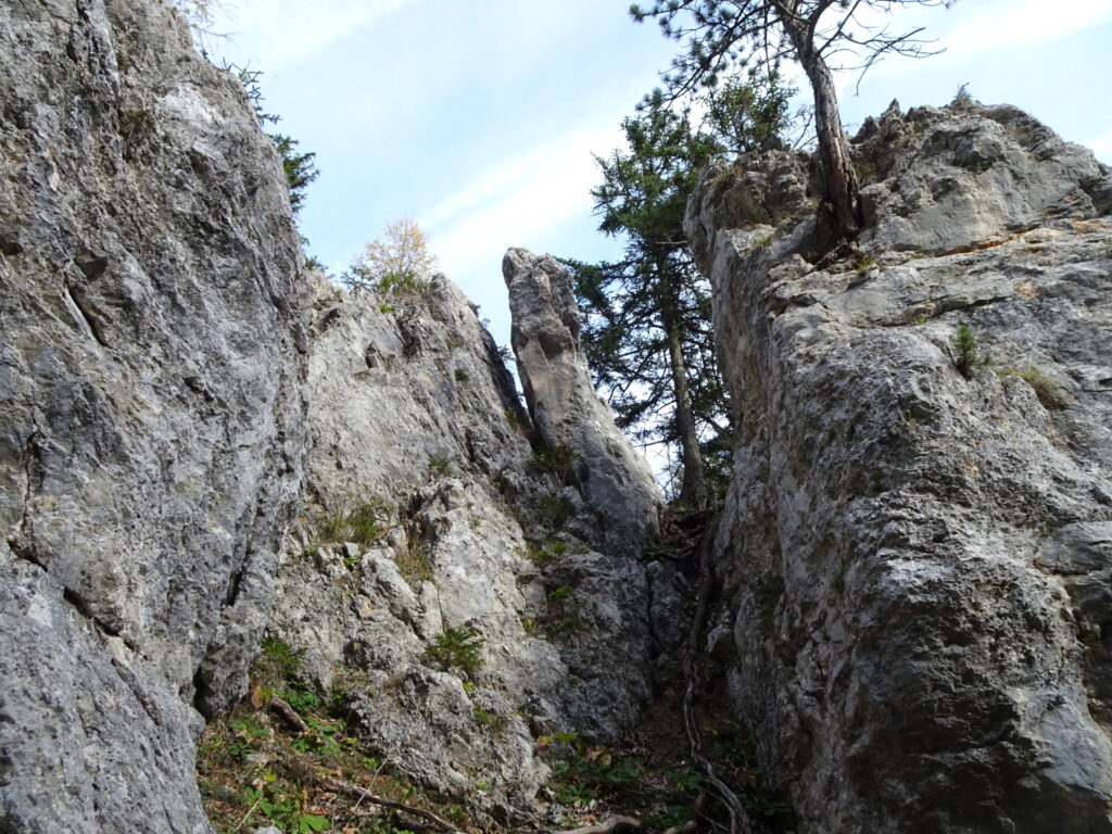
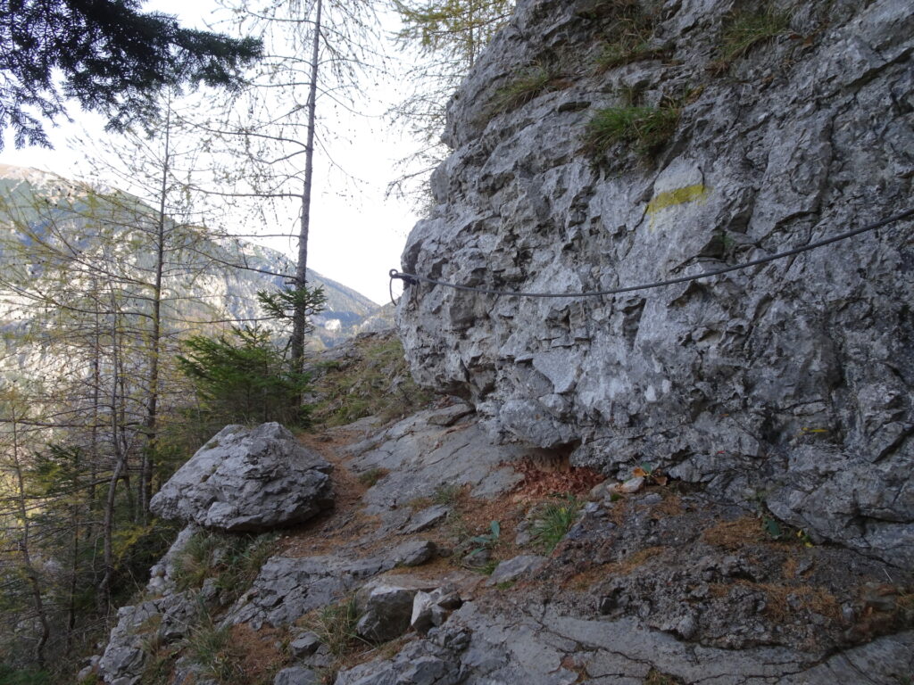
| 01:35 | Turn sharp left into the yellow-marked Camillo-Kronich-Steig. Now follow this hiking trail upwards. |
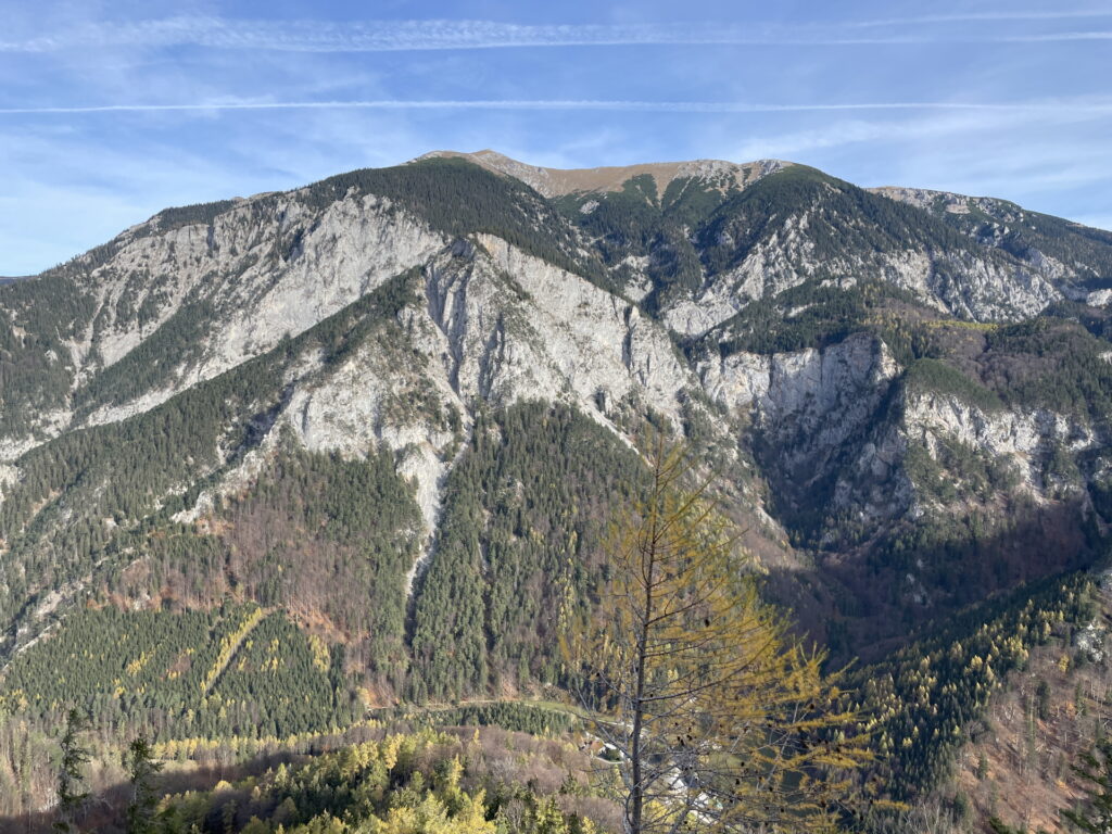
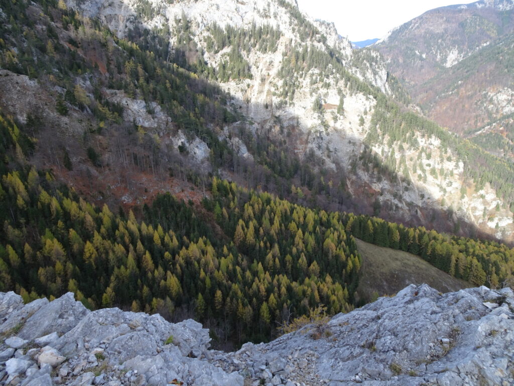
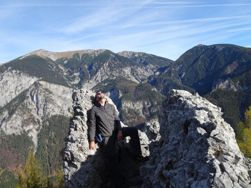
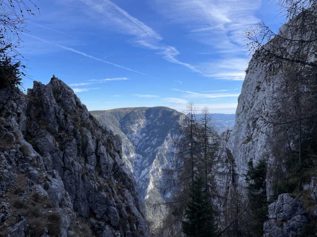
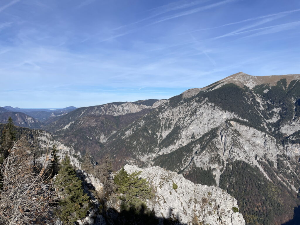
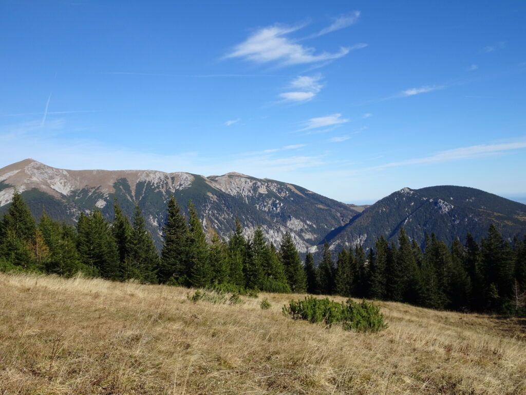
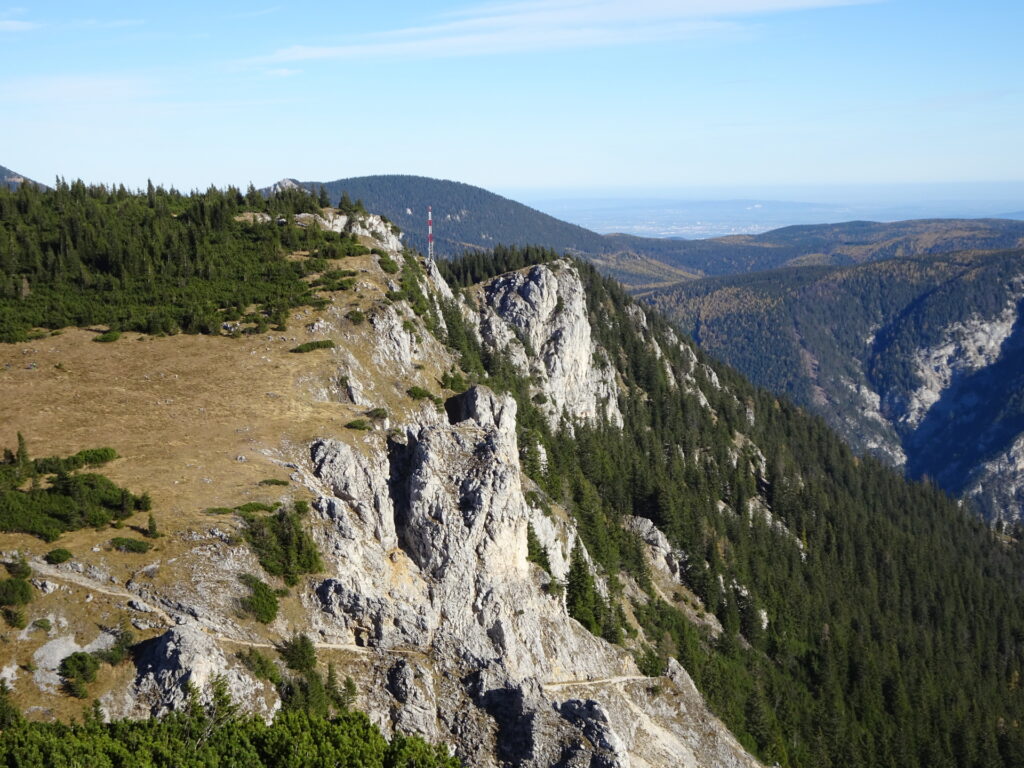
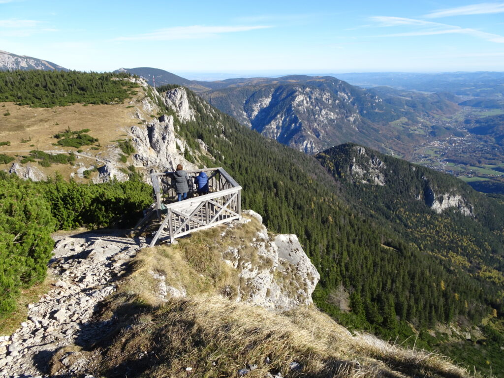
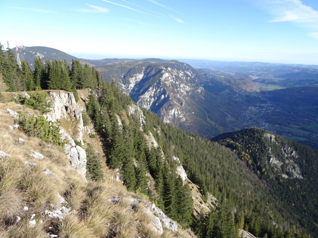
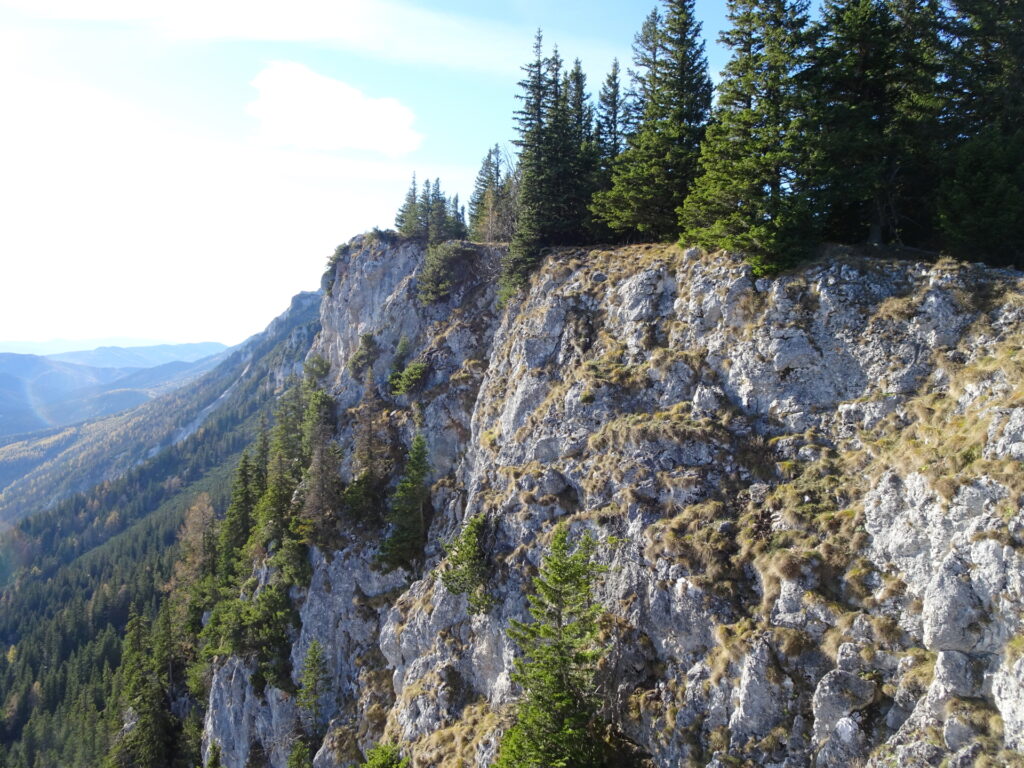
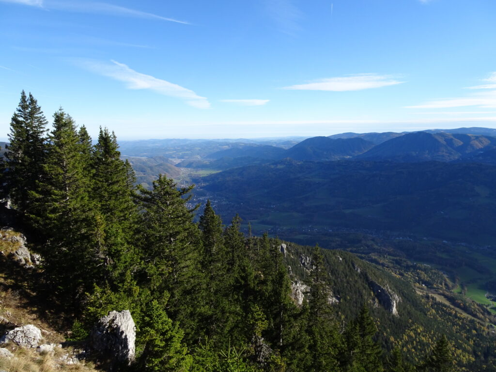
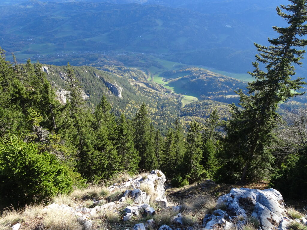
| 02:40 | Turn left into the traces of a trail and follow them for a few meters towards a stunning viewpoint. Then go back and continue following the yellow-marked hiking trail southwards. |
| 02:50 | At the crossing, turn right and follow the blue-marked hiking trail up towards Berggasthof. |
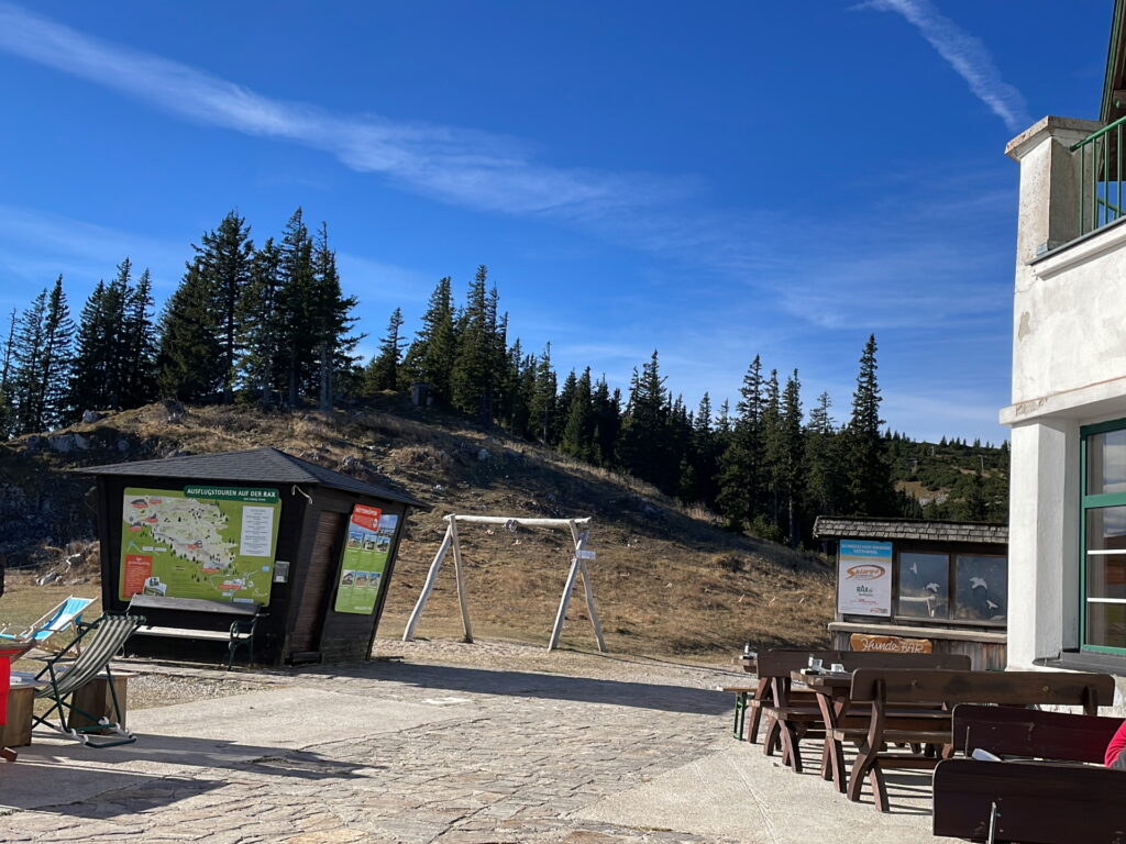
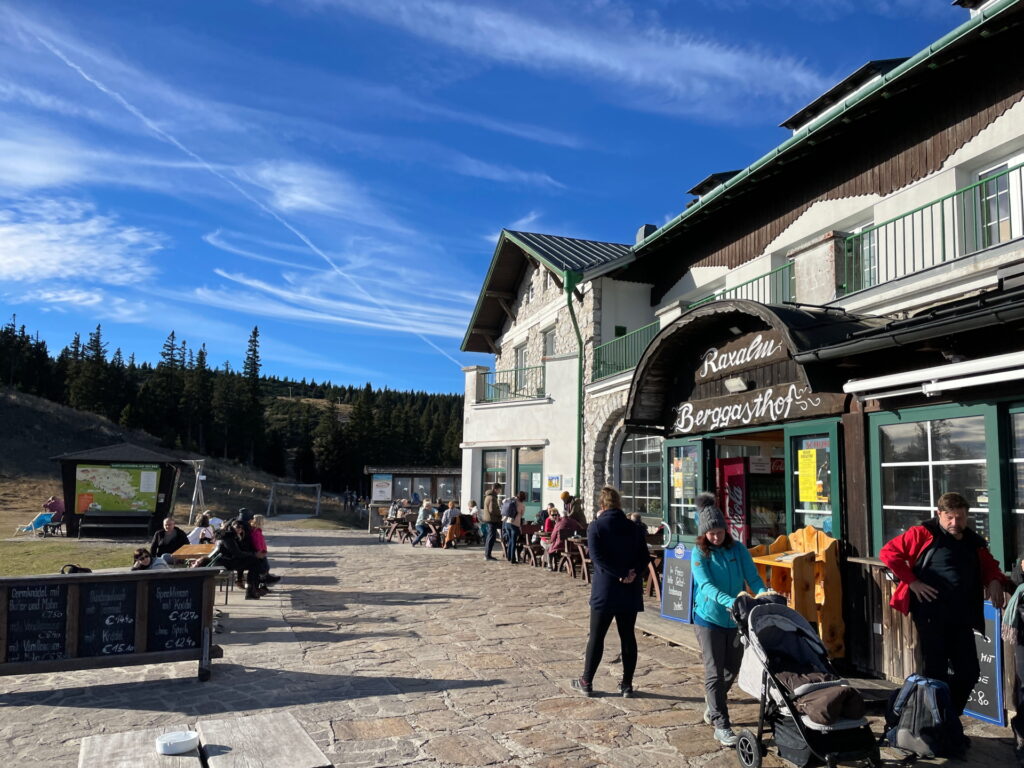
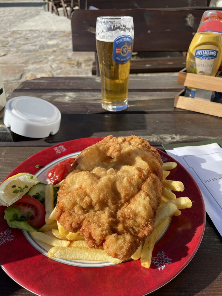
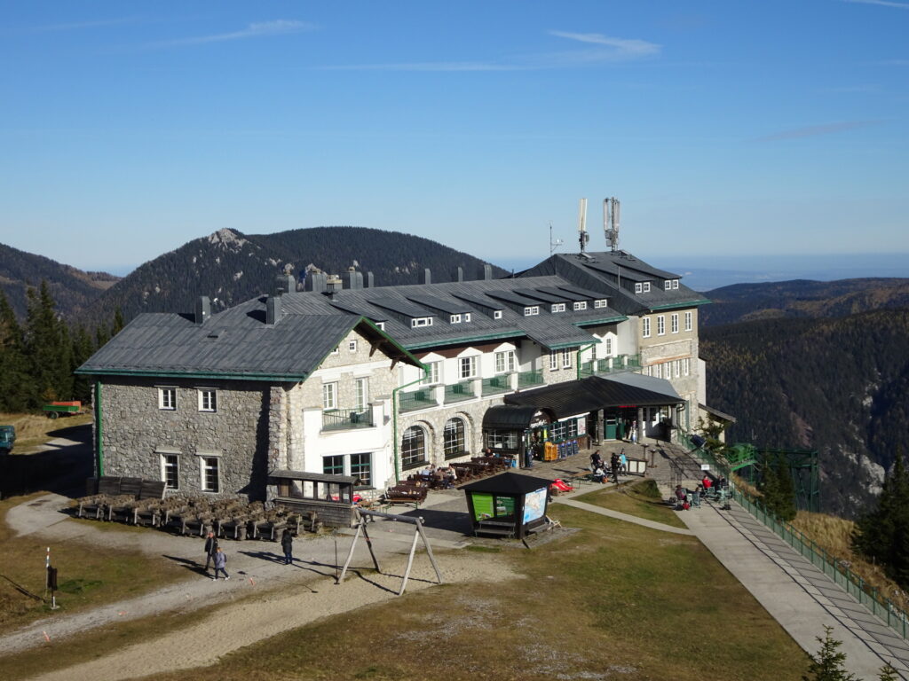
| 03:05 | Well deserved break ( ) at the Berggasthof. |
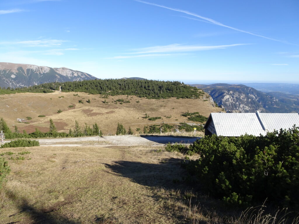
| 03:50 | Follow the red-marked hiking trail westwards along the gravel road towards Ottohaus (see signposts). |
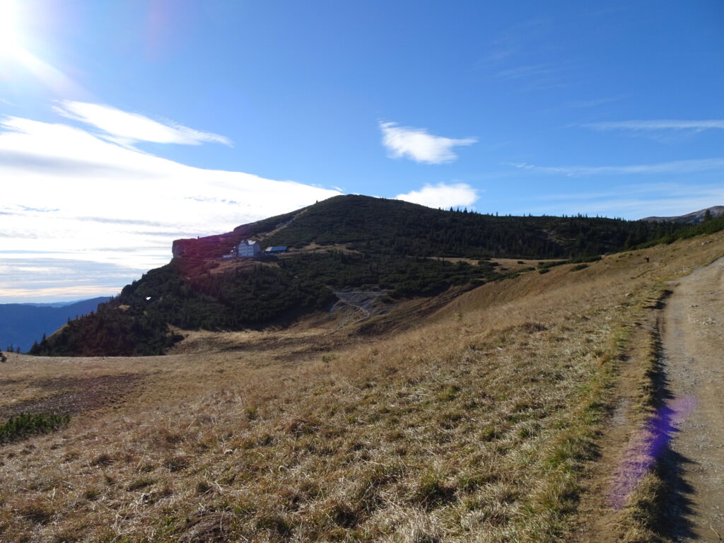
| 04:10 | AT the crossing, keep left and follow the trail to the already visible Ottohaus. |
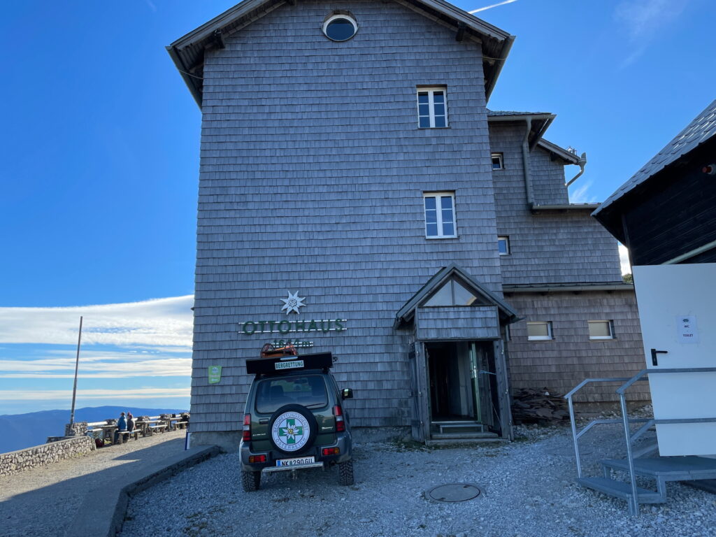
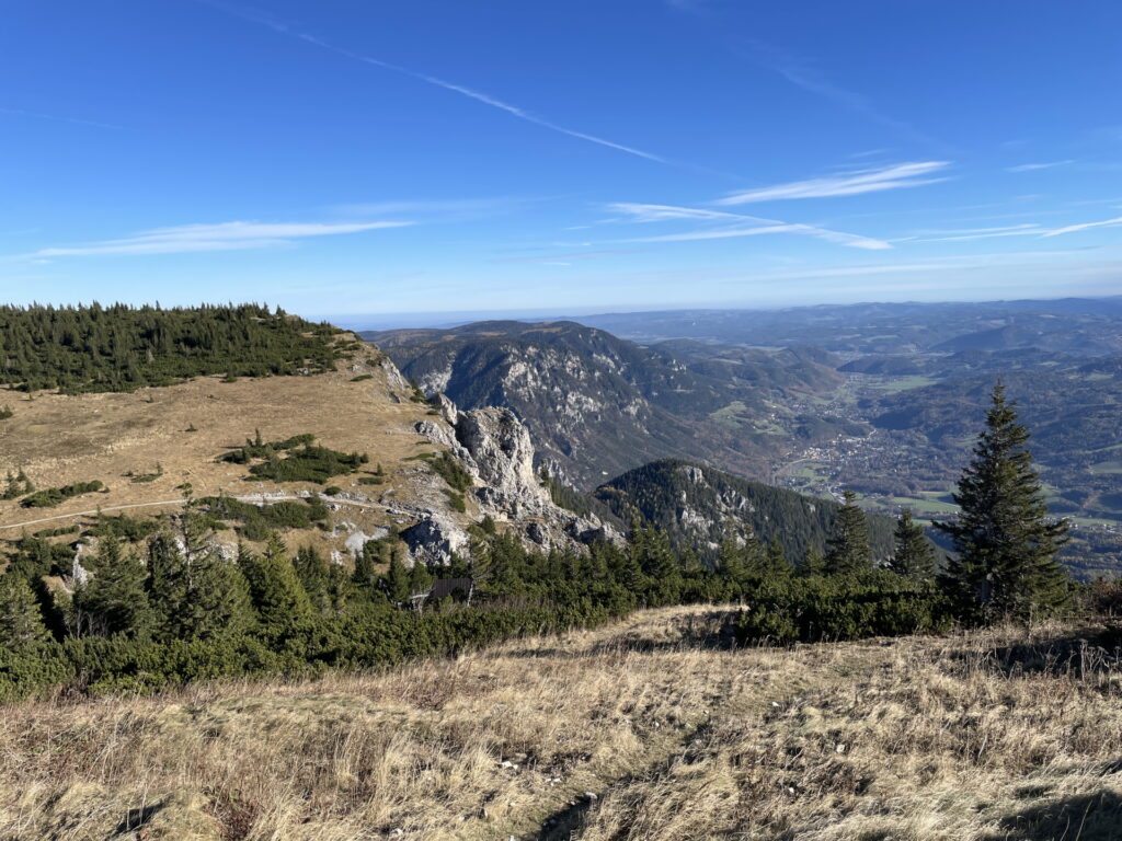
| 04:15 | Bypass the Ottohaus and continue following the trail, first towards the viewpoint at the ridge and then up towards Jakobskogel. |
| 04:25 | At the crossing, turn right and follow the trail up to the summit cross of Jakobskogel. |
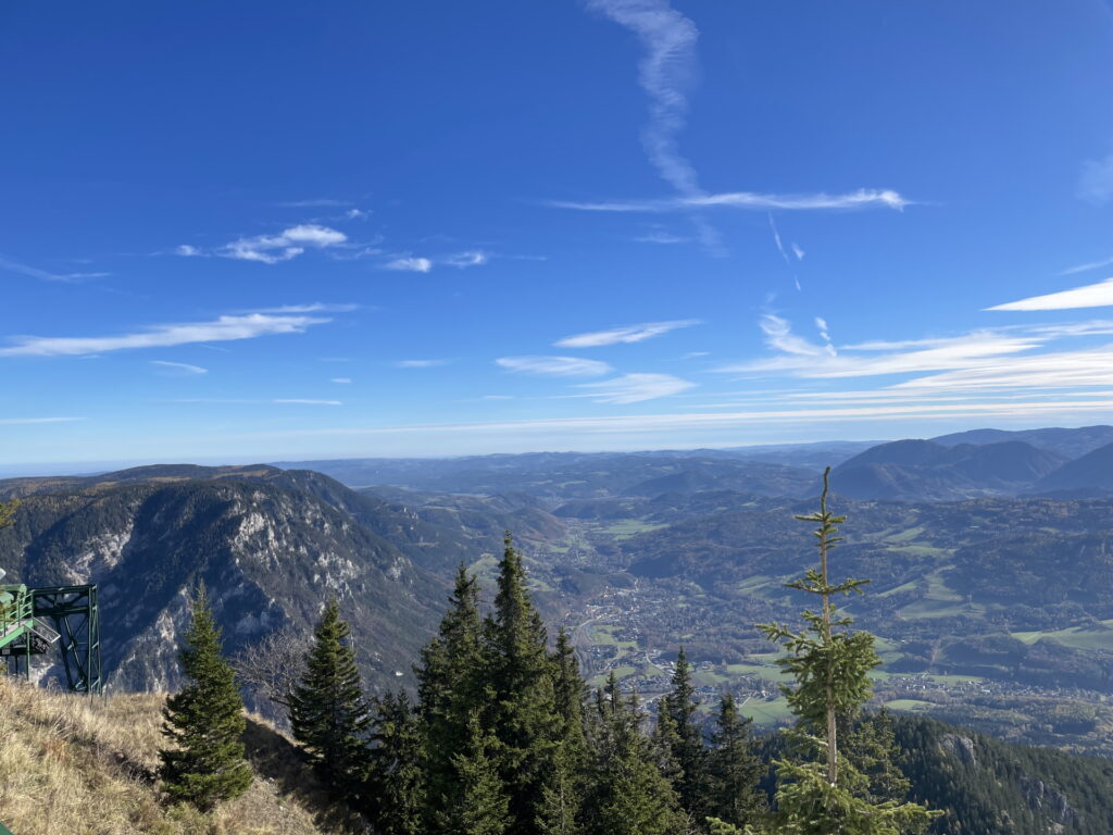
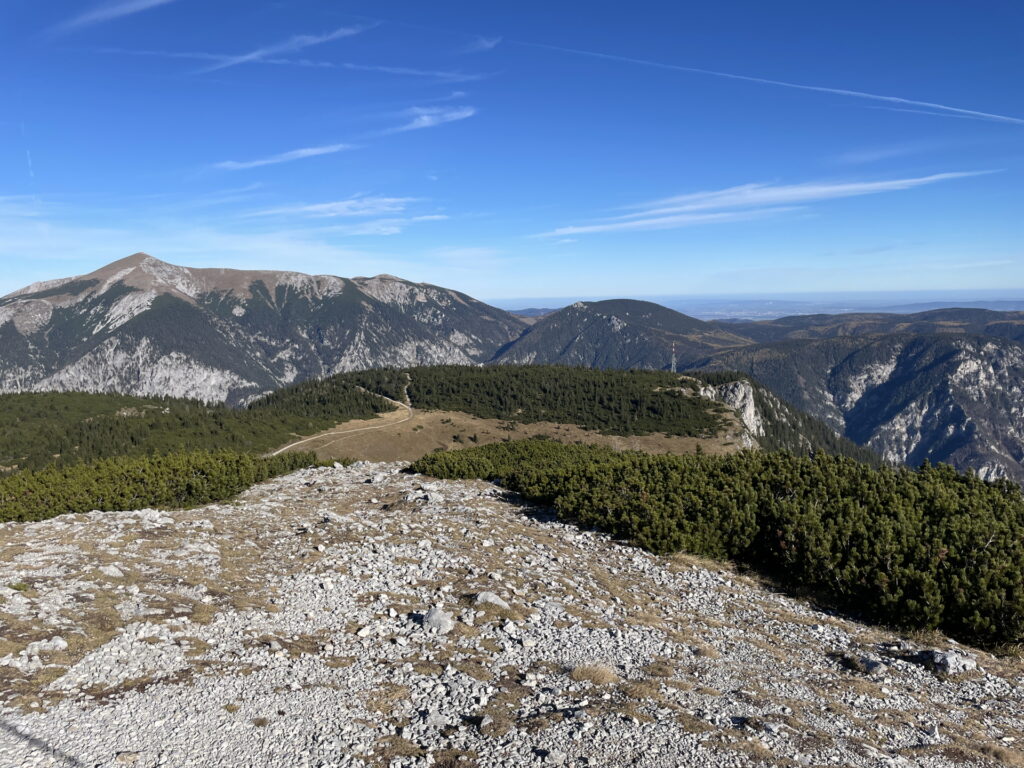
| 04:30 | Enjoy the view from the summit of Jakobskogel. |
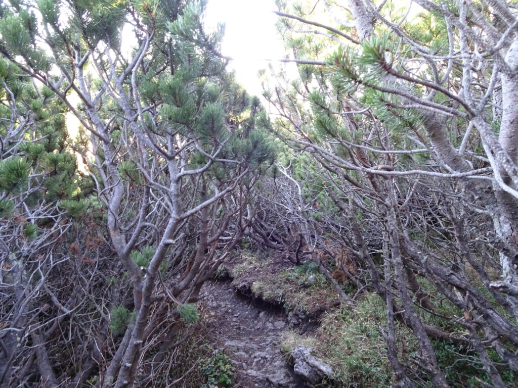
| 04:35 | Take the direct route (through the shrubbery) back to Ottohaus. |
| 04:40 | At Ottohaus, keep straight, descent and follow the Törlweg for a few meters. |
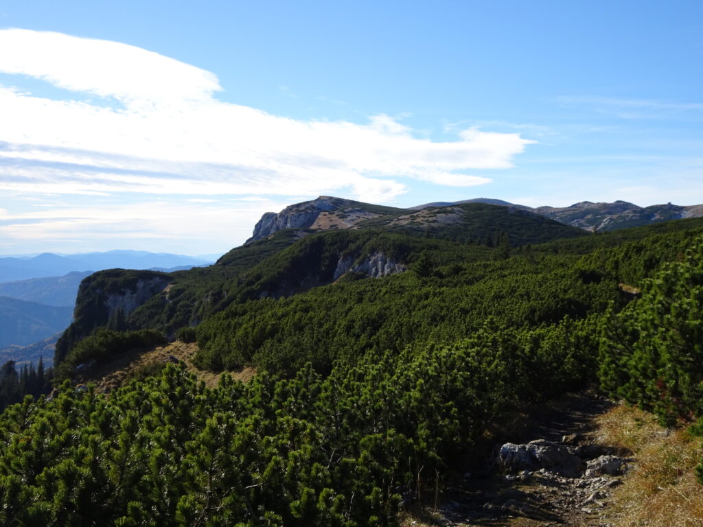
| 04:45 | BEFORE the iconic Törl window, turn left and find the way through the meadow towards the ridge (above the Törlkopf summit). Then follow the trail along the ridge which brings you automatically back to the mountain station of the cable car. |
| 05:05 | Descent back into the valley using the cable car. End of the tour. |
At a glance
| Level | moderate |
| – Via Ferrata Category | A |
| Technique | |
| Shape / Fitness | |
| Experience | |
| Scenery | |
| Best time in the year | |
|
Jan
Feb
Mar
Apr
May
Jun
Jul
Aug
Sep
Oct
Nov
Dec
|
|
| Area: | Rax/Schneeberg Group, Lower Austria, Austria | |
| Distance: | 15km | |
| Ascent: | 1396m (1h 55min) | |
| Descent: | 395m (0h 35min) | |
| Highest Pt: | 1736m | |
| Lowest Pt: | 503m | |
| Duration: | 4h 20min (without breaks) 5h 05min (with breaks) |
|
| Stop/Rest: | Berggasthof Rax (1545m) Ottohaus (1644m) |
|
| Equipment: | Solid hiking shoes with good grip on rock Backpack with standard hiking equipment Snacks and enough water Sun & Weather protection Camera GPS strongly recommended! |
| Download GPX | ||
| O | Tour at outdooractive.com |












Leave a Reply