
Scenic but long and demanding tour up to Patscha, Pommesberg, and Feichteck using the amazing but challenging Jägersteig and Rablgrat hiking trail
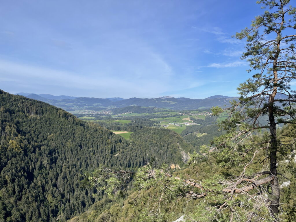
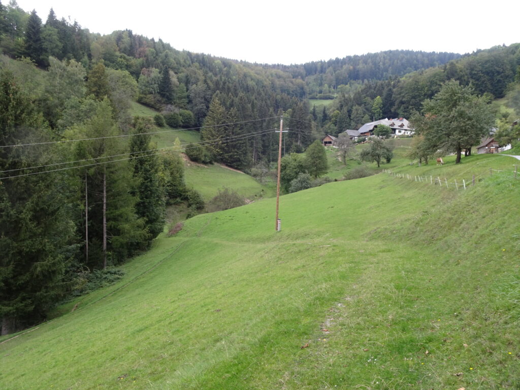
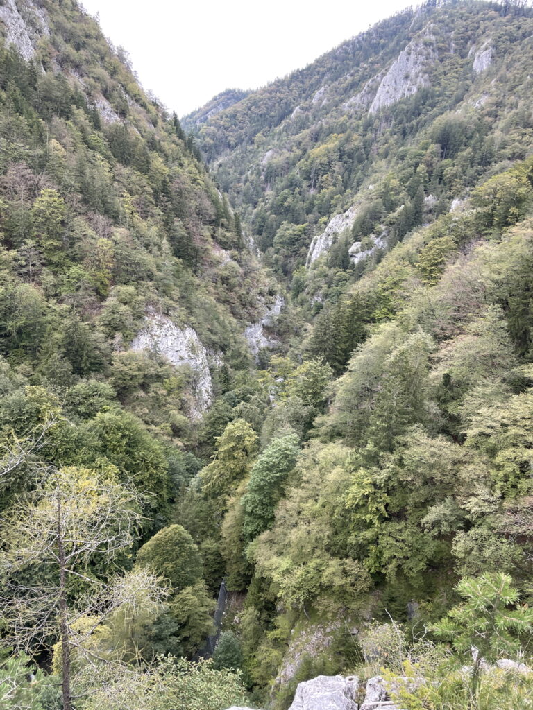
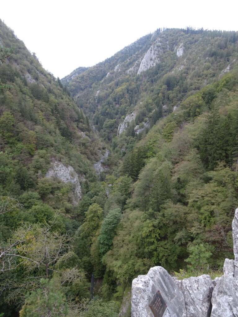
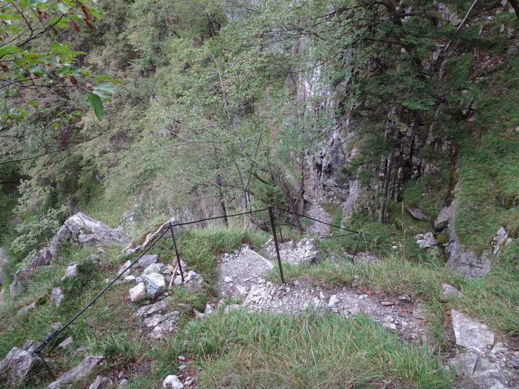
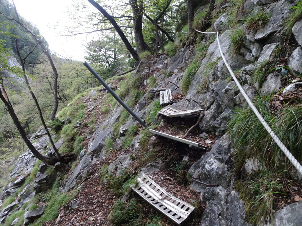
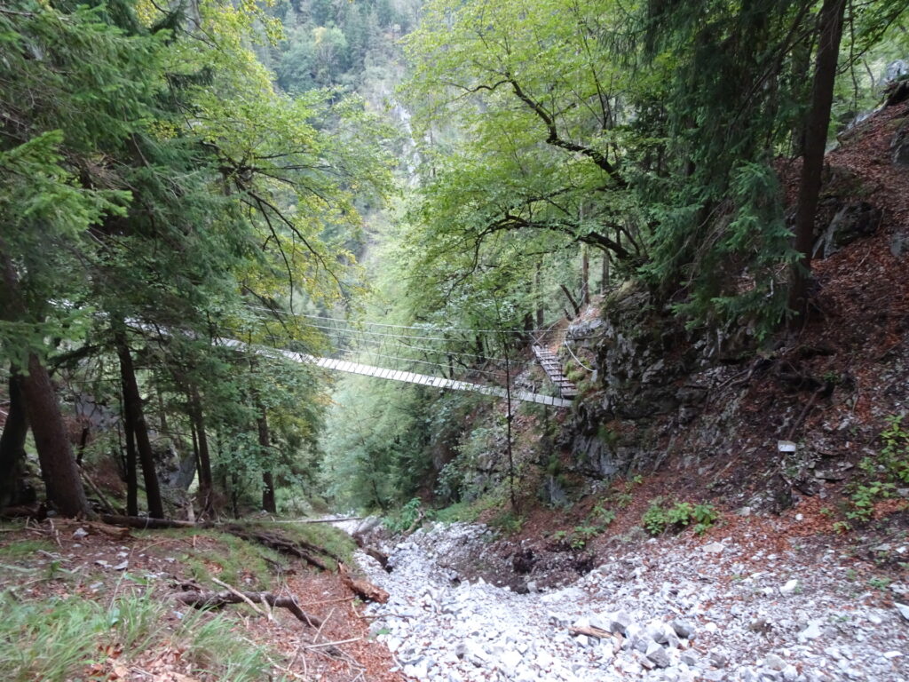
This long and demanding tour starts in the Weizklamm gorge and follows the exciting Jägersteig towards the Rablgrat with its Nepal-bridge as highlight. The tour then follows up aside the Rablgrat (UIAA I+) towards the Sattel and from there then up to Patscha. The tour then continues northwards up to the Pommesberg and continues further till reaching the Feichteck. The tour then leads back and follows the trail down to Sankt Kathrein am Offenegg and then using the hiking trail back to the Sattel. From there the tour follows the easy hiking trail downwards alongside the Gösserbback which leads to the other end of Jägersteig. The Jägersteig is then used to go back to the parking but provides a couple of amazing views inside the Weizklamm gorge.
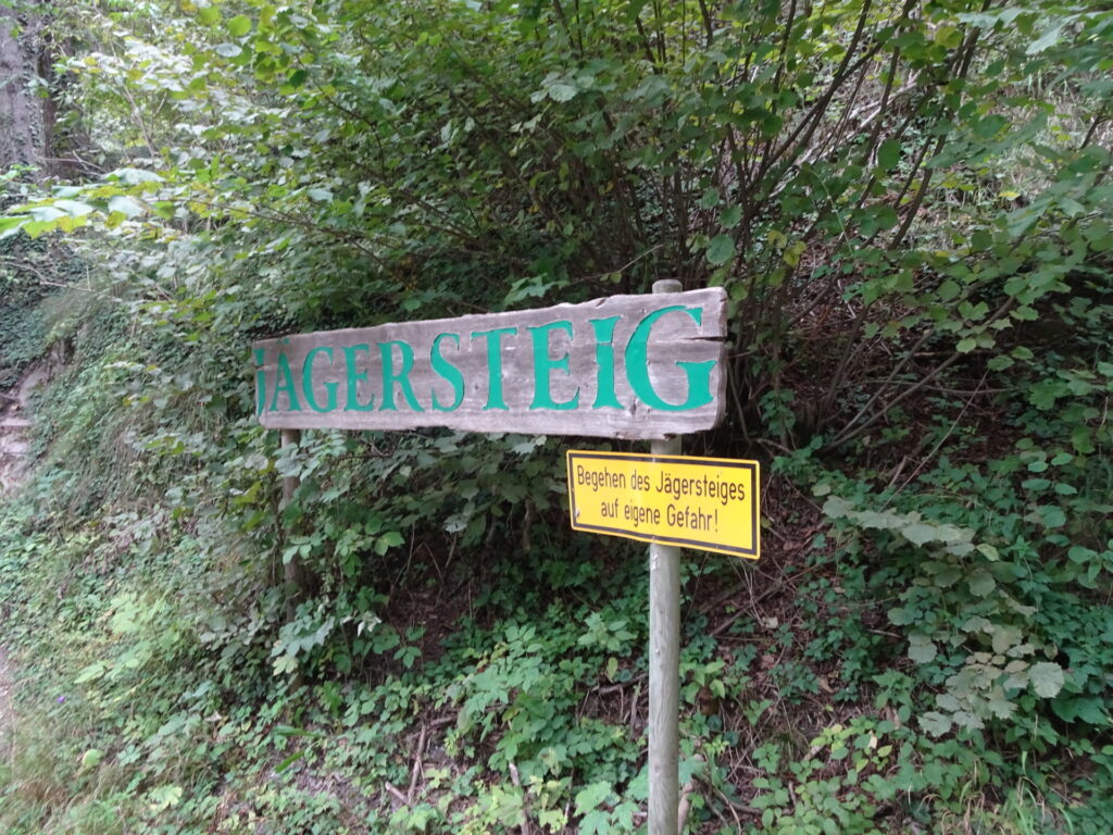
| 00:00 | Start at the the parking lot Jägersteig inside the Weizklamm (e.g. GPS: 47.272308, 15.578002) and follow the Jägersteig (start is across the street opposite of the parking). |
| 00:15 | Cross the Nepal-bridge and continue following the Jägersteig. |
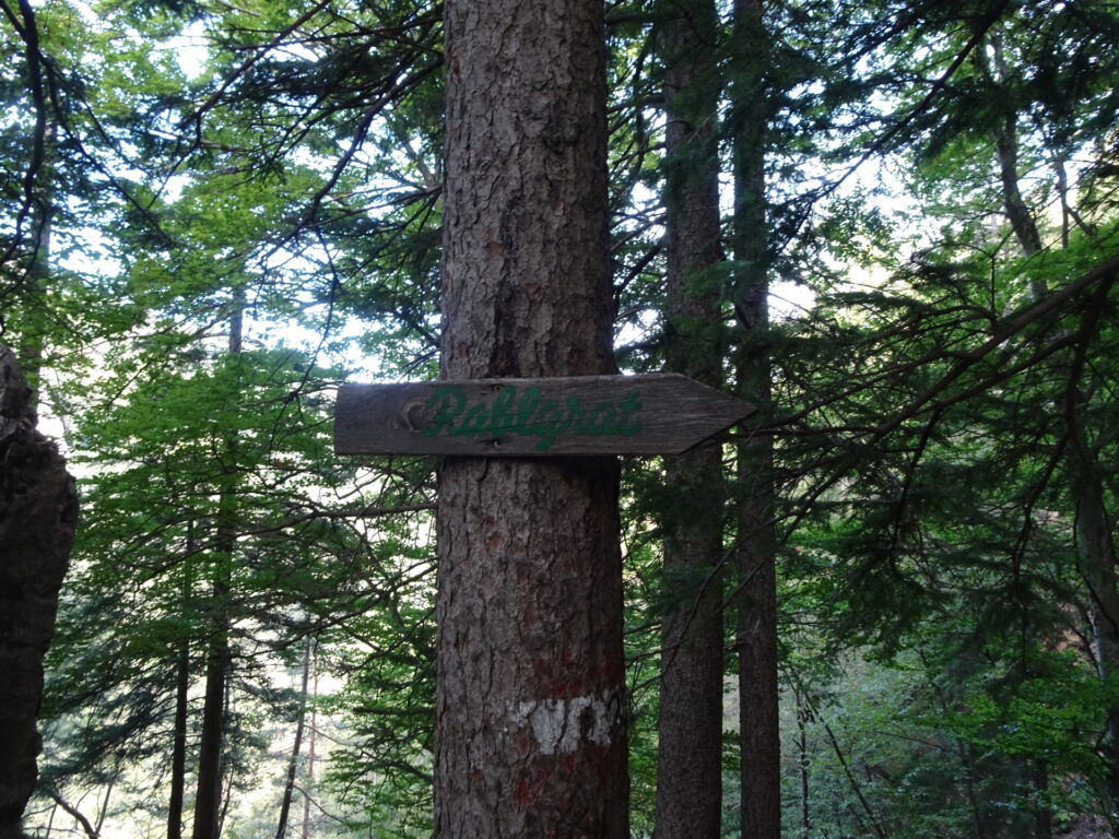
| 00:20 | At the crossing, turn left and follow the trail up to Rablgrat (see wooden signpost). |
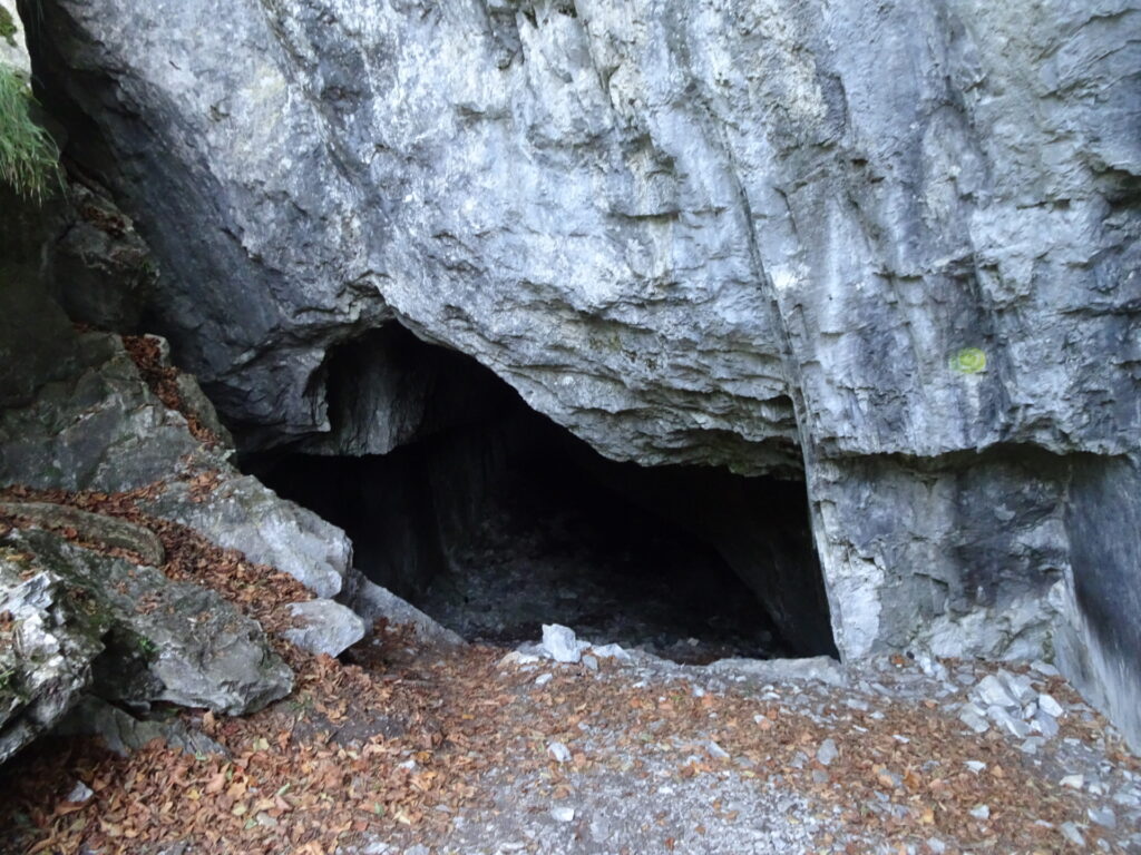
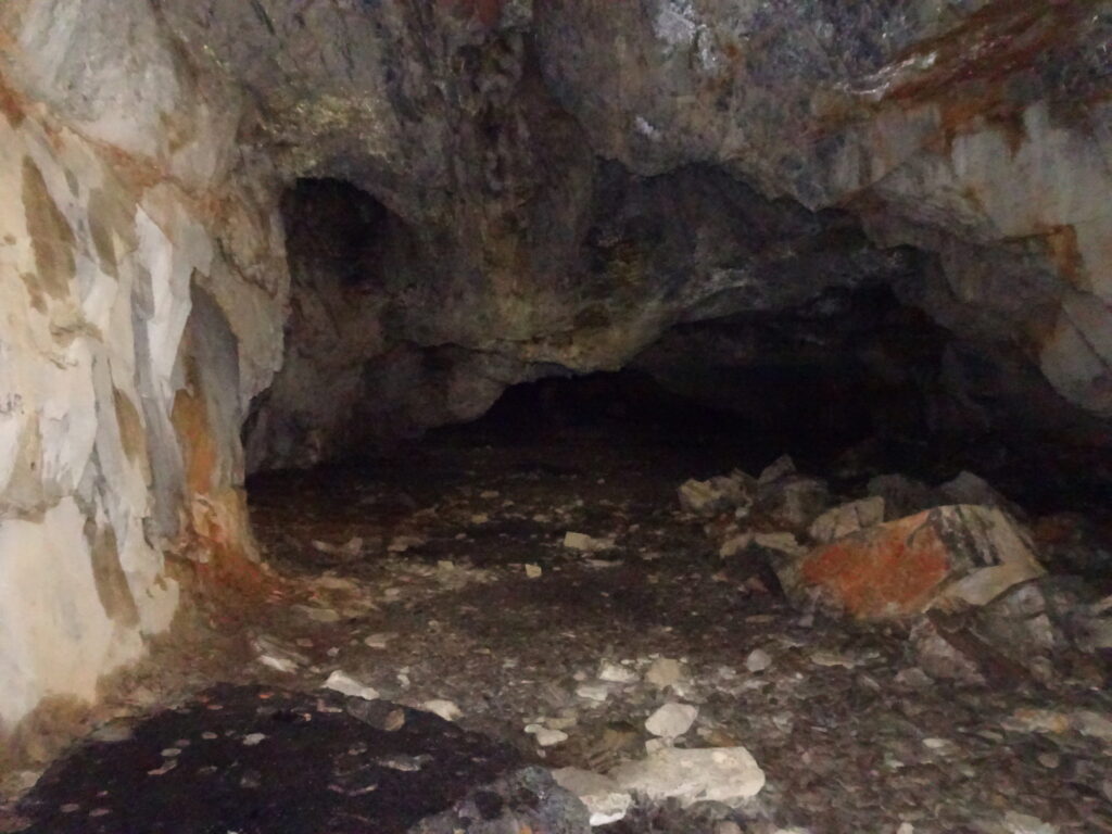
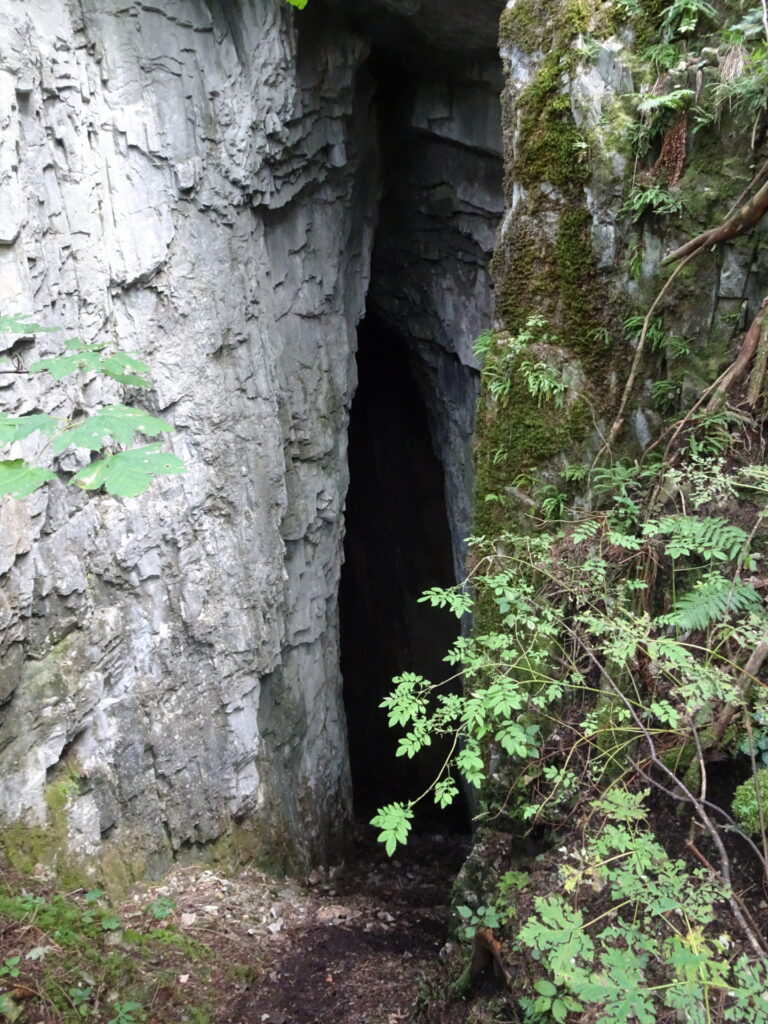
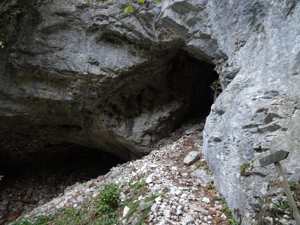
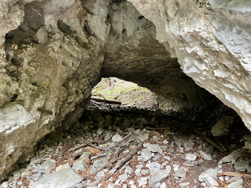
| 00:22 | Follow the marked hiking trail left from the cliff to access the portal of the impressive Rablloch cave. Explore the cave a bit and enjoy its awesomeness. |
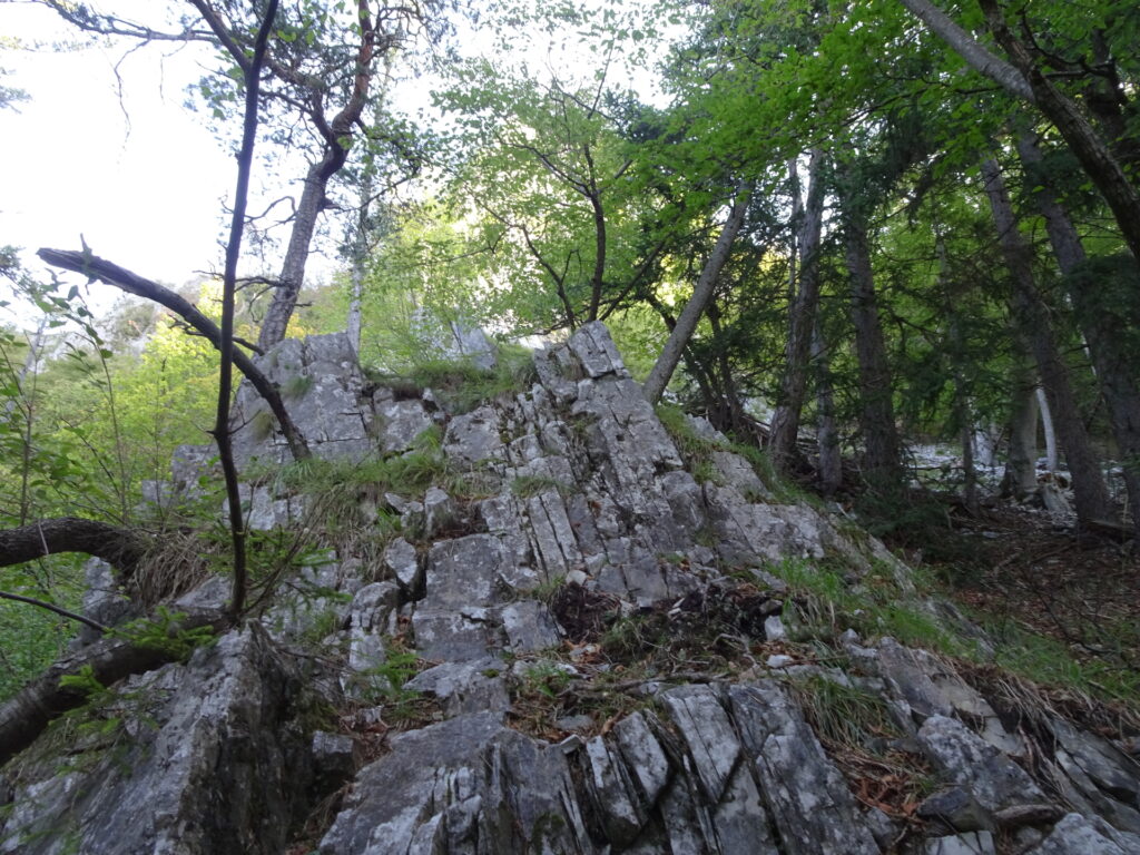
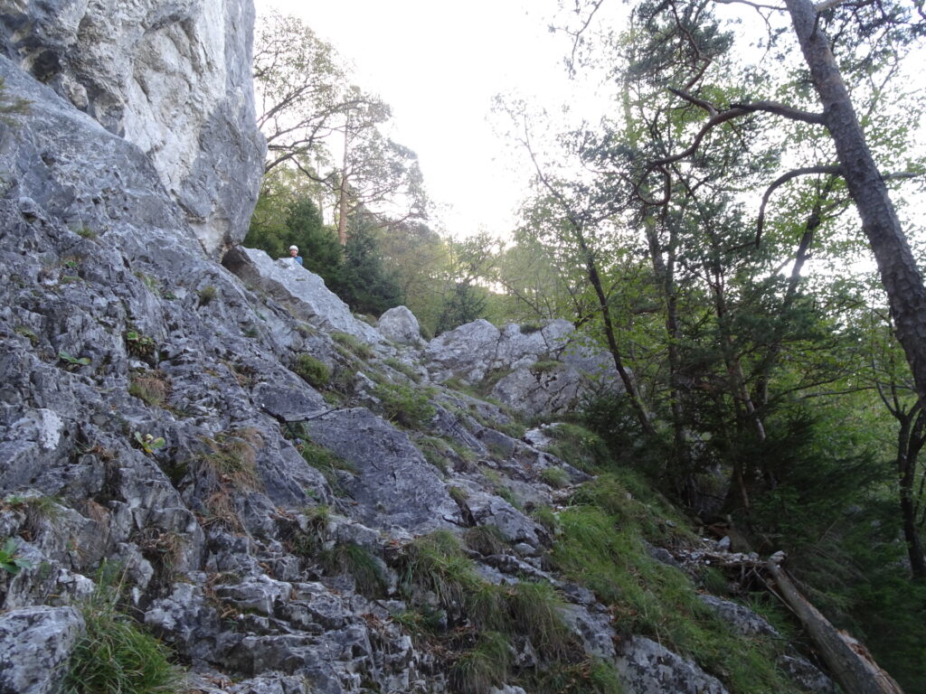
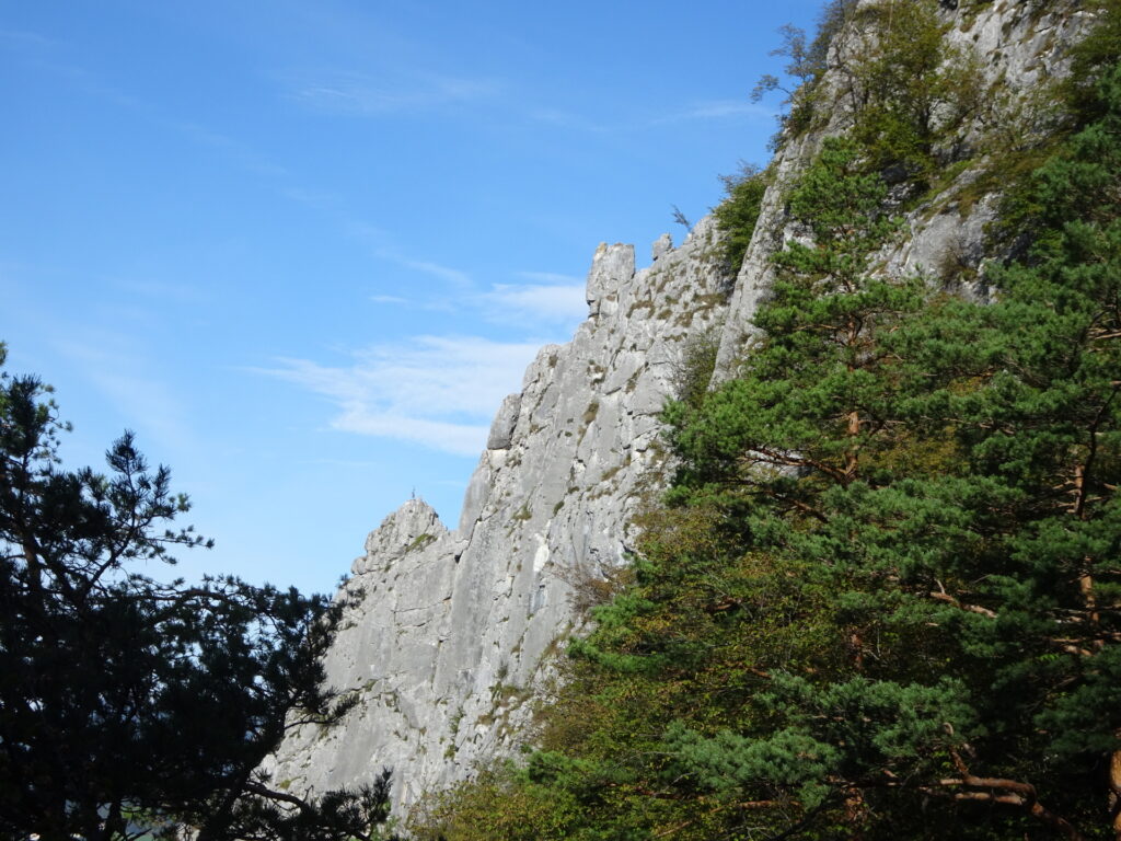
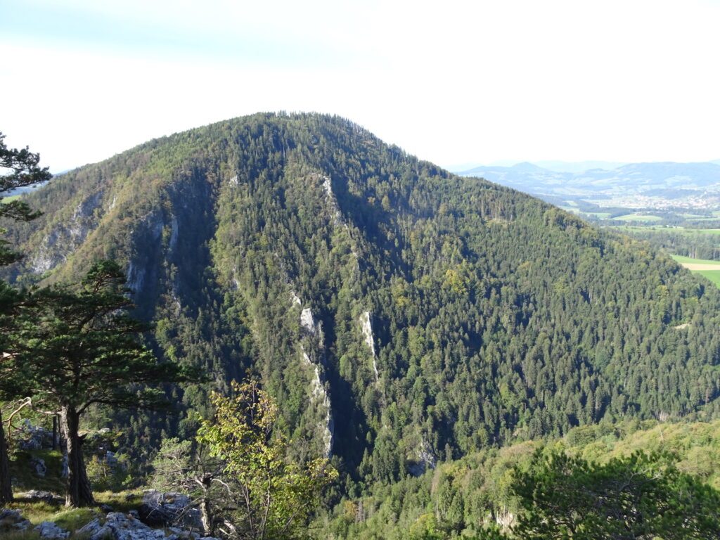
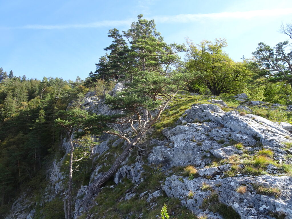
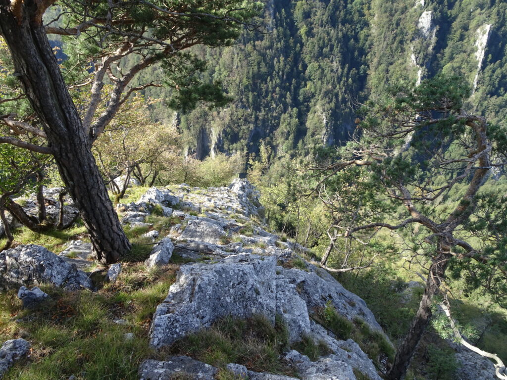
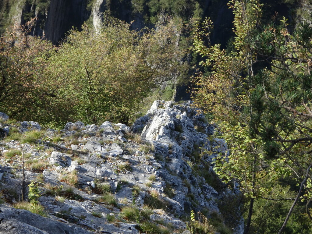
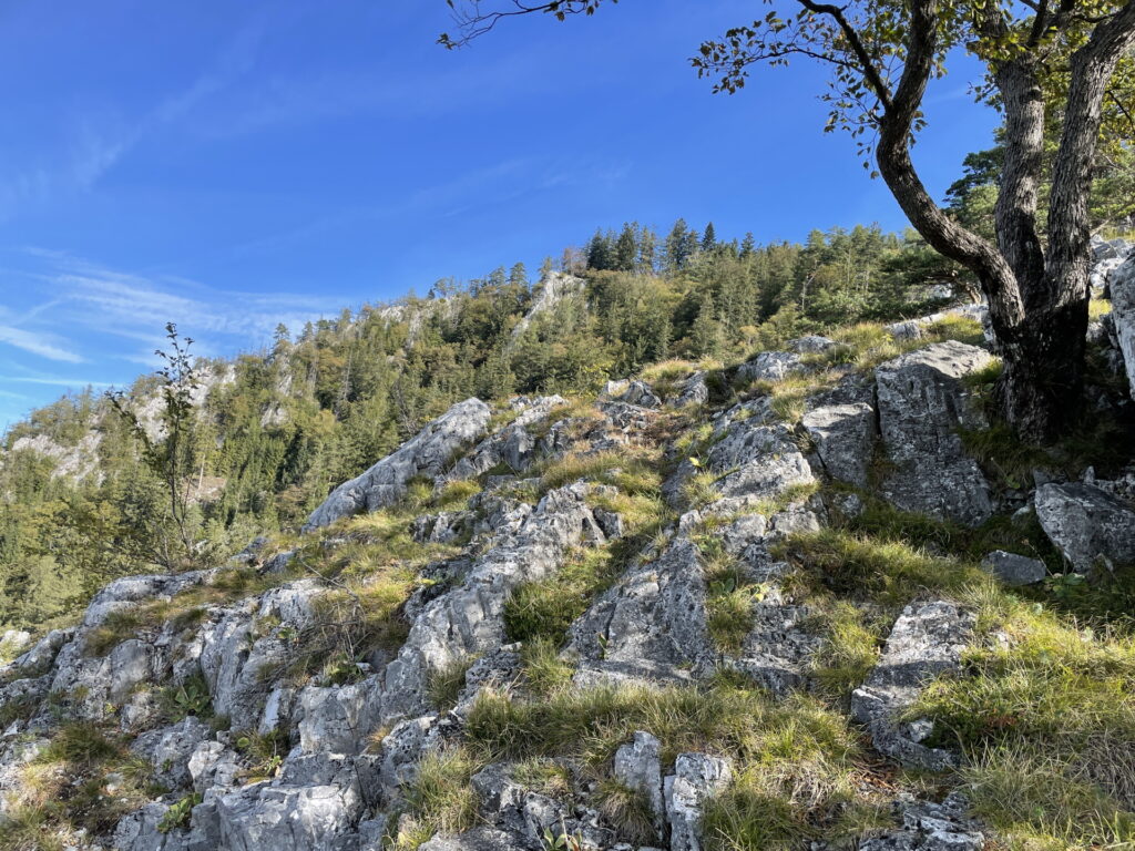
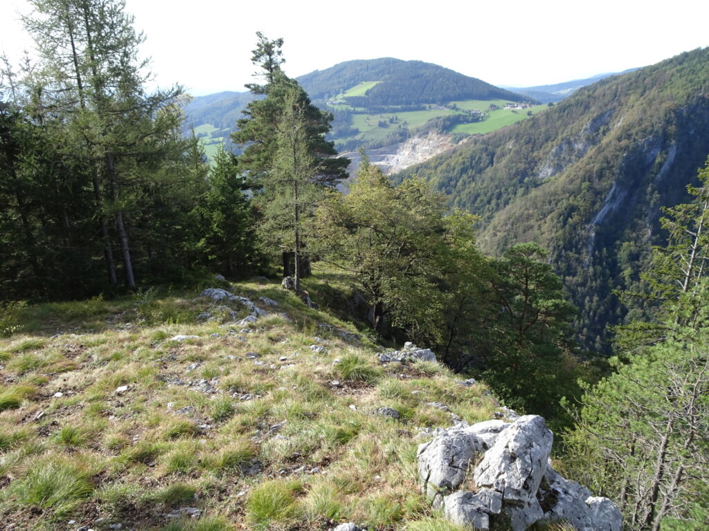
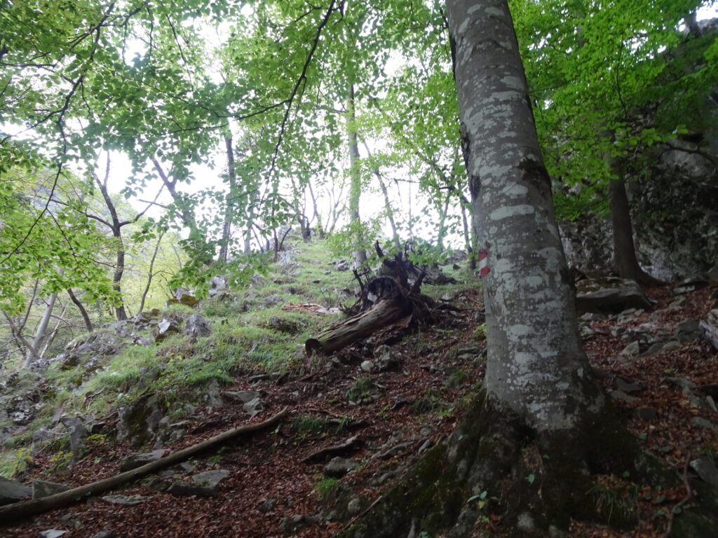
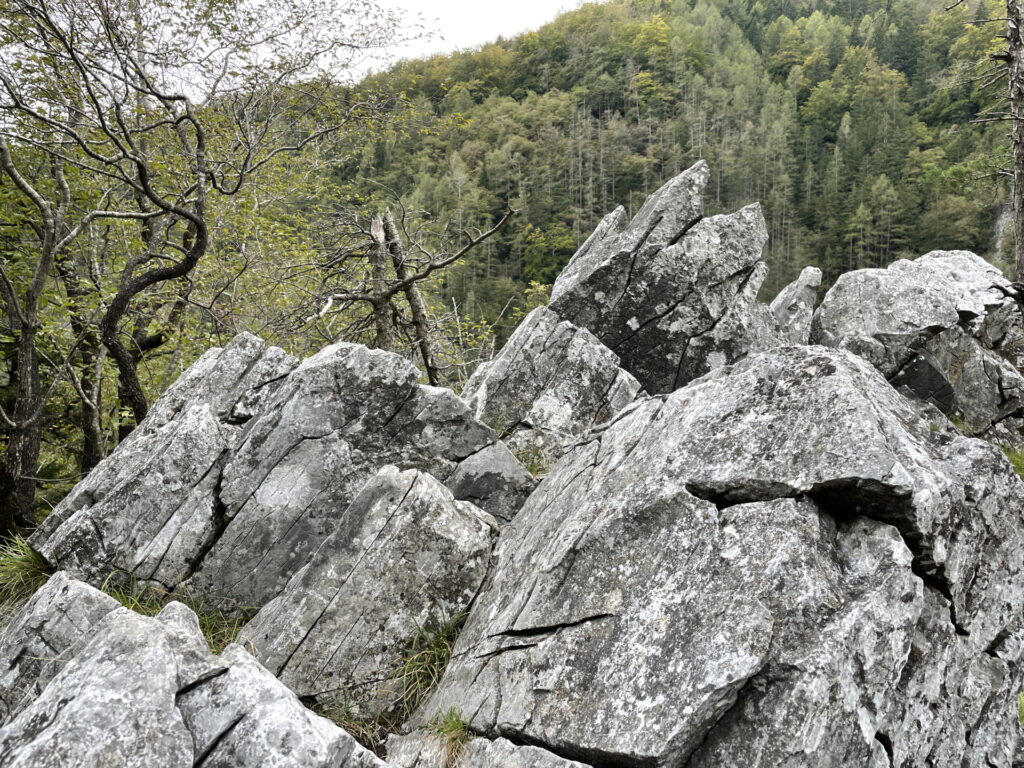
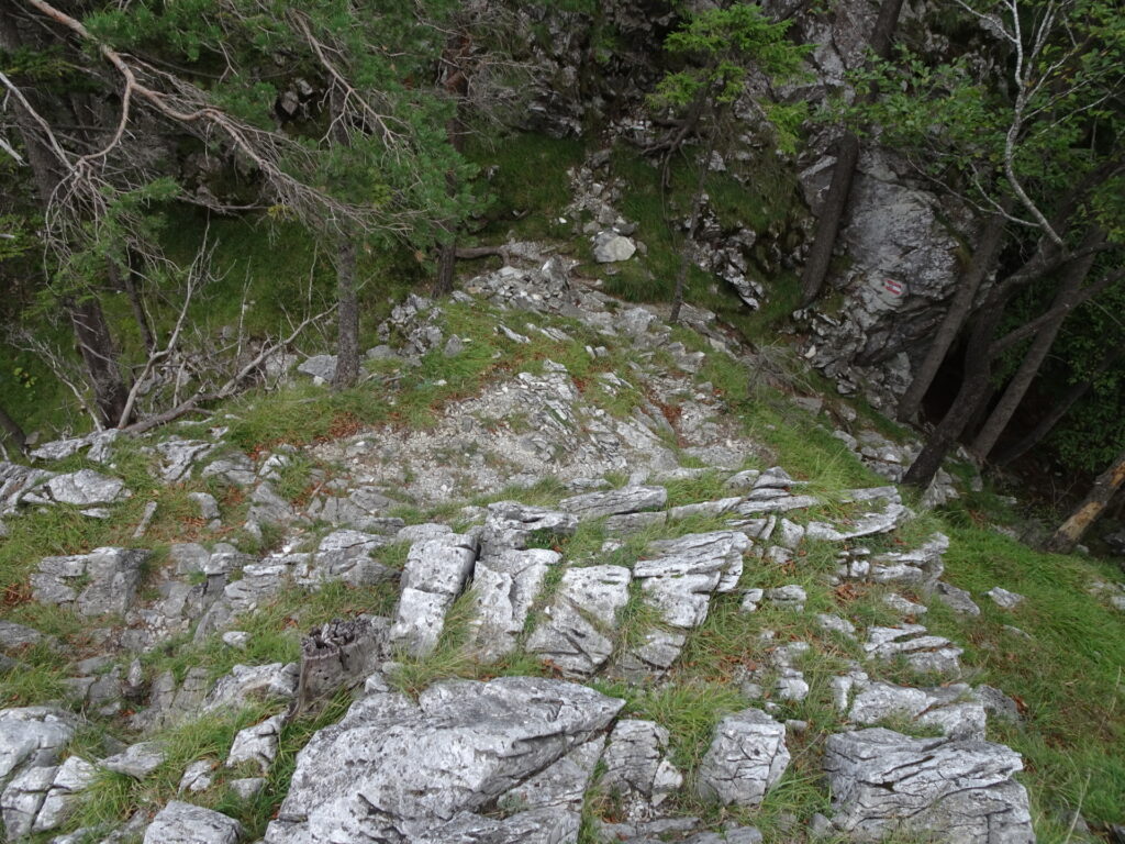
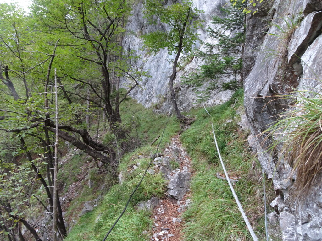
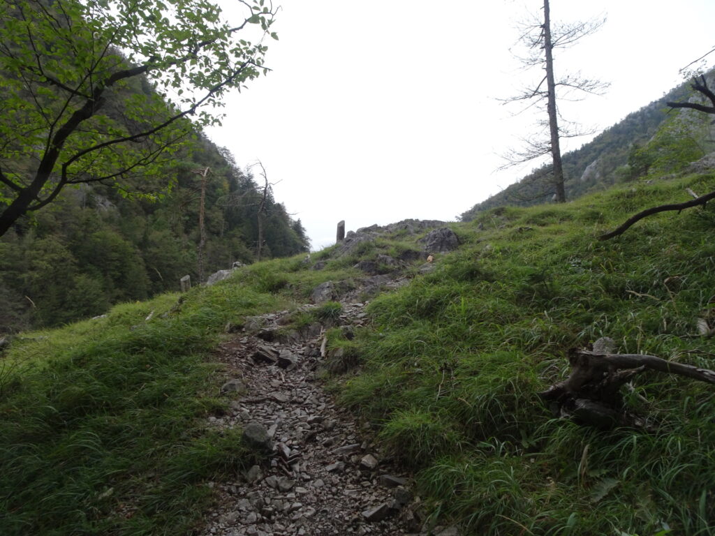
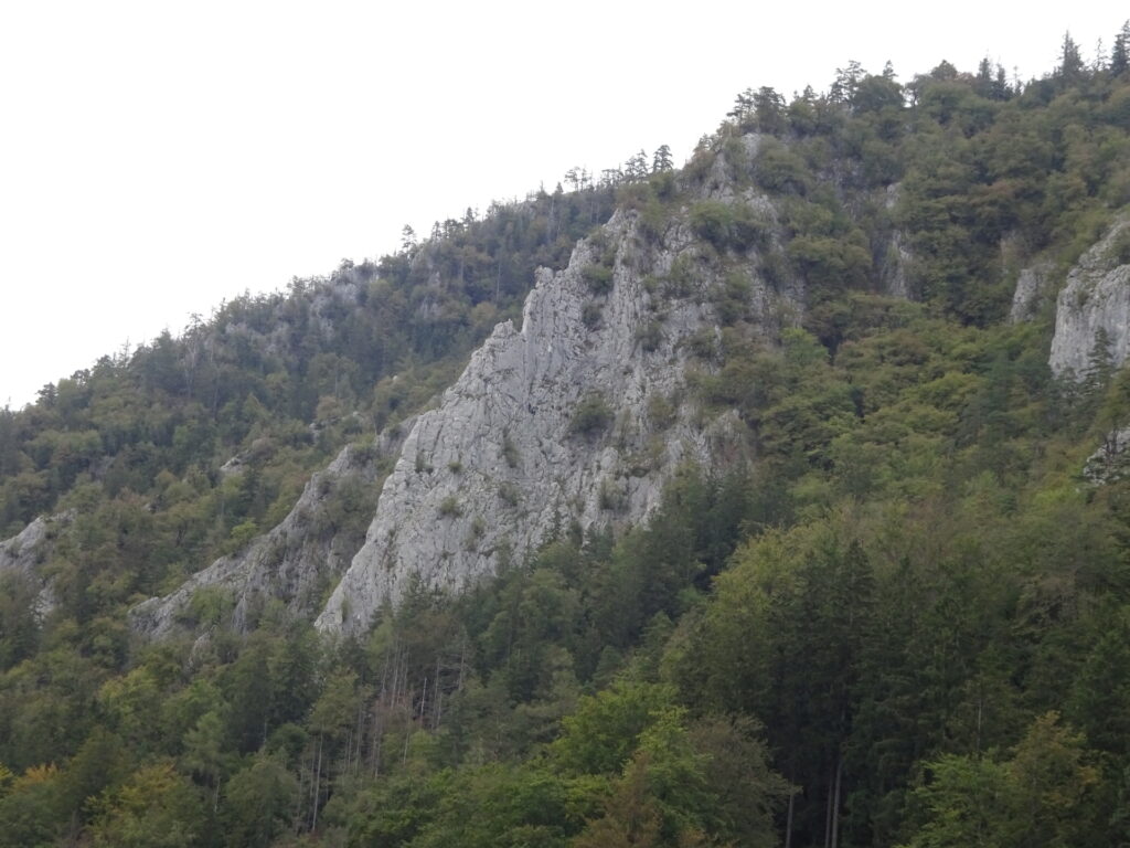
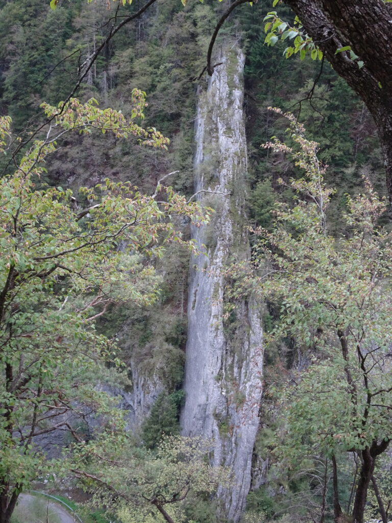
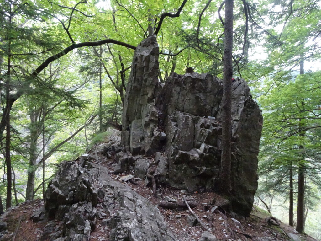
| 00:30 | Climb back a few meters and then follow the trail around the cliff (right hand-side of the cliff) alongside the impressive Rablgrat ridge. The trail is not marked and sometimes not clearly visible. The area is steep though. From here you are in alpine area! |
| 00:45 | Keep left and continue following the traces of the trail. |
| 00:55 | Keep left again and continue following the traces of the trail upwards. |
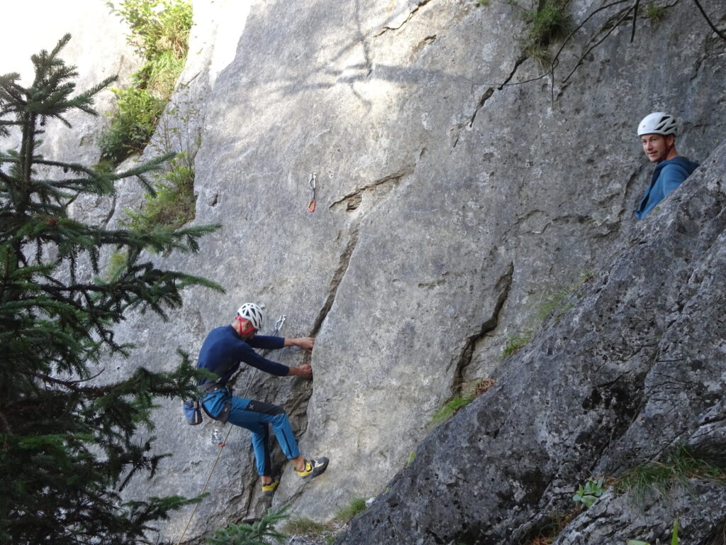
| 01:05 | At the crossing, keep left and follow the trail westwards towards the clearing. You might want to follow the clearing down towards the exit of the Rablgrat climbing route to grasp a stunning view and some alpine atmosphere. |
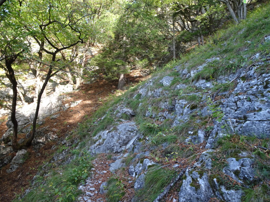
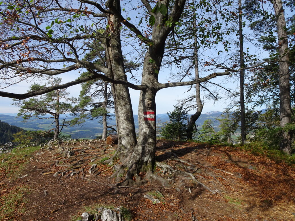
| 01:10 | Now follow the marked trail 763A northwards towards the Sattel. |
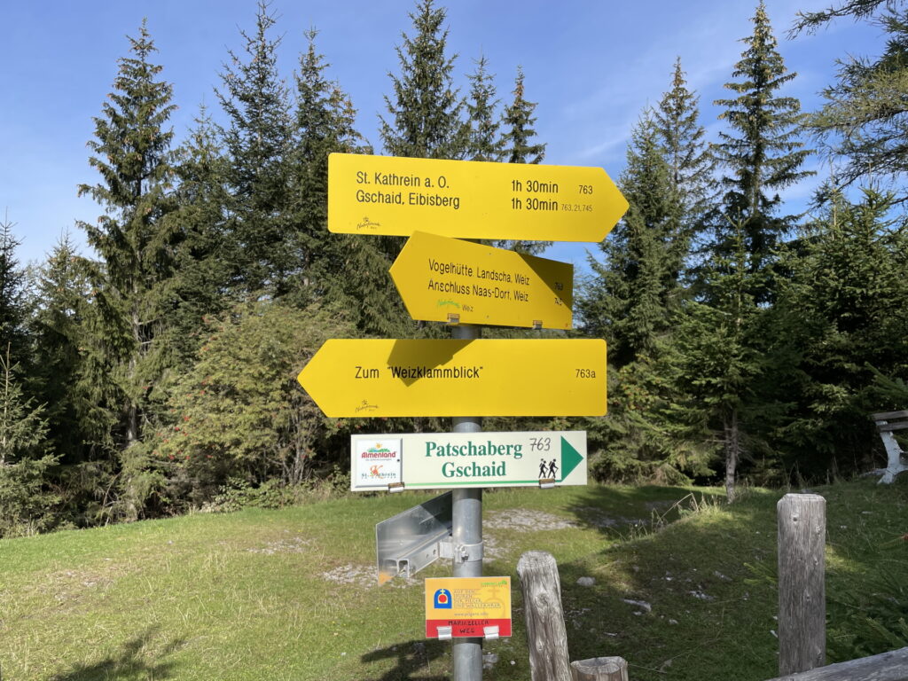
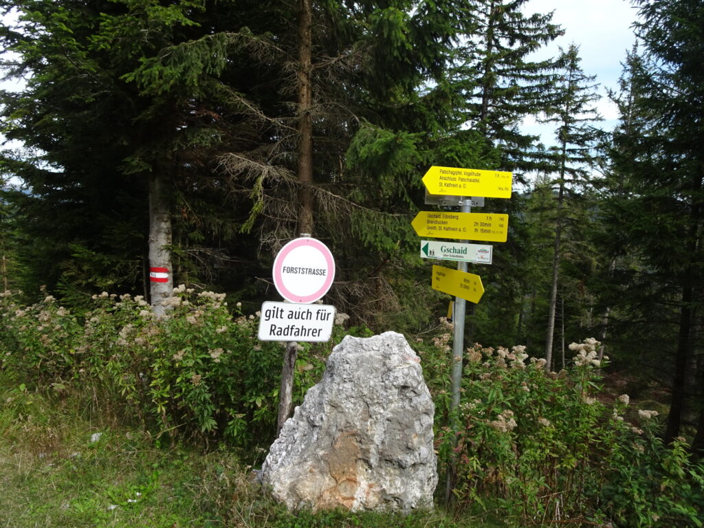
| 01:30 | At the Sattel (SummitLynx checkpoint), keep straight and follow the trail towards Patschaberg (see signposts). |
| 01:40 | At the crossing, turn left and continue following the trail up towards Patschaberg (see signpost). |
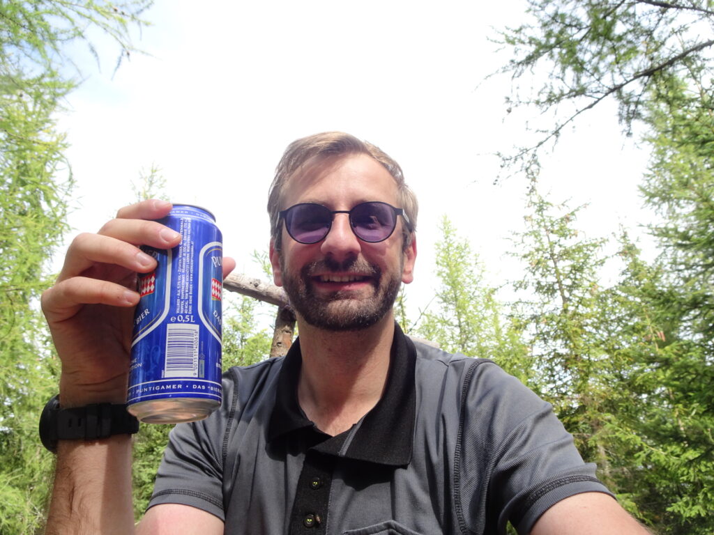
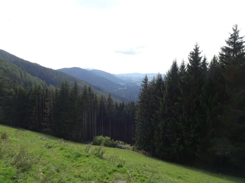
| 02:00 | Enjoy the view from Patschaberg, obviously best enjoyed with a self-brought refreshment (). |
| 02:10 | Continue following the trail 745 northeastwards towards Gschaid (see signposts and markings). |
| 02:20 | At the crossing, turn left and continue following the trail towards Gschaid (see signposts). |
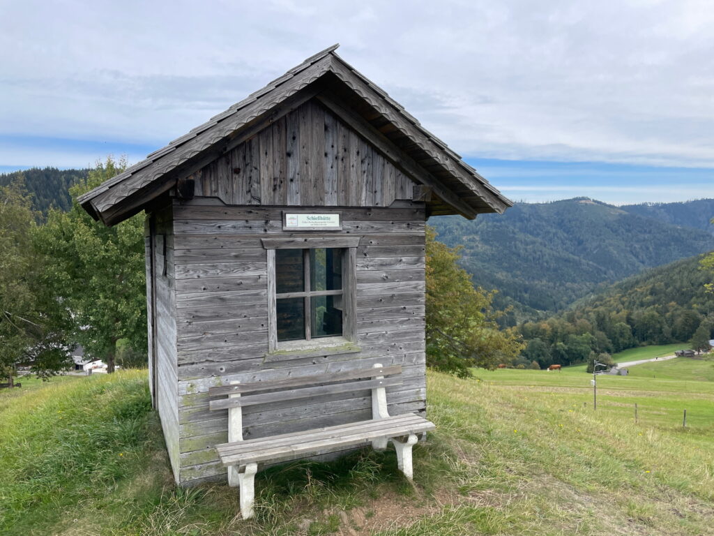
| 02:30 | Keep straight and follow the trail up to Schießhütte. |
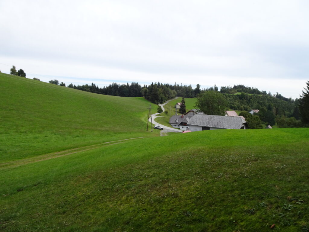
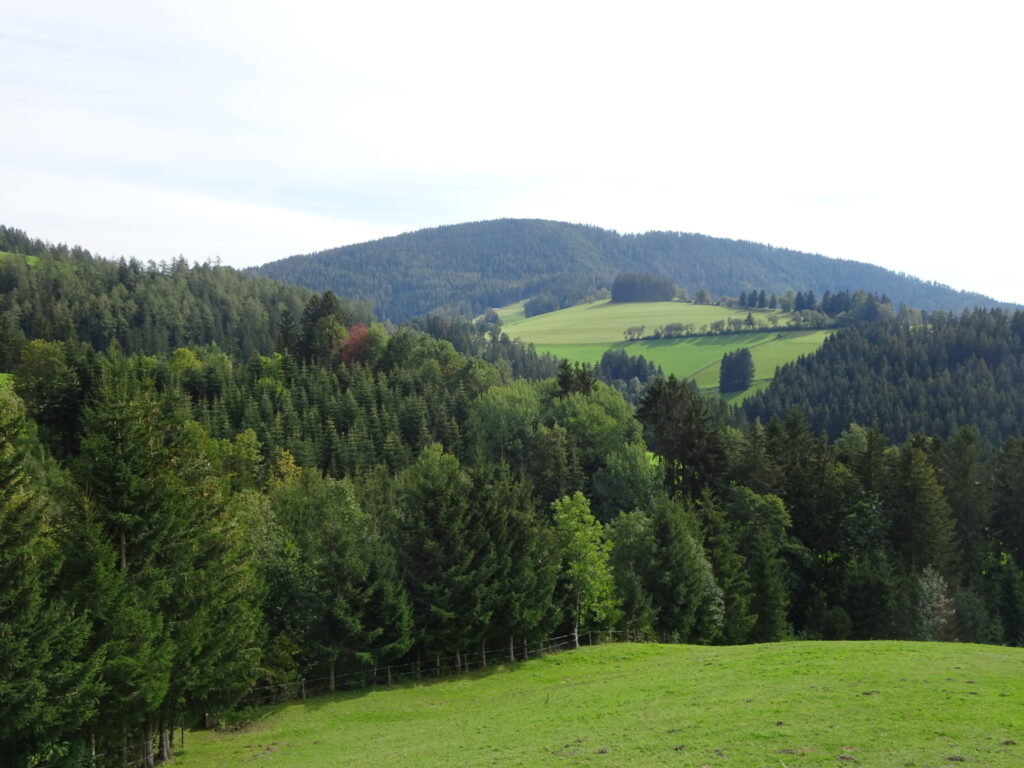
| 02:35 | Enjoy the view from Schießhütte but then continue following the trail downwards towards the small village of Gschaid. |
| 02:40 | In Gschaid, continue following the marked trail 745 northeastwards. At the crossing a few meters behind the village, turn left and follow the marked hiking trail. |
| 03:00 | At the crossing after the forest, keep right and follow the trail towards the street and the Steinbauer hut. |
| 03:05 | Well deserved break ( at the Steinbauer hut (Schutzhütte). |
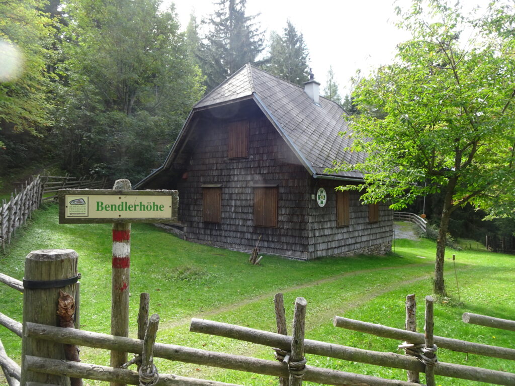
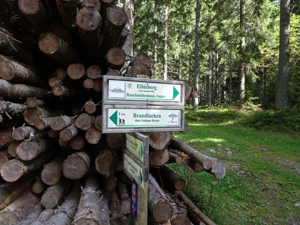
| 03:35 | Continue following the trail 745 (keep left) towards Bendlerhöhe. |
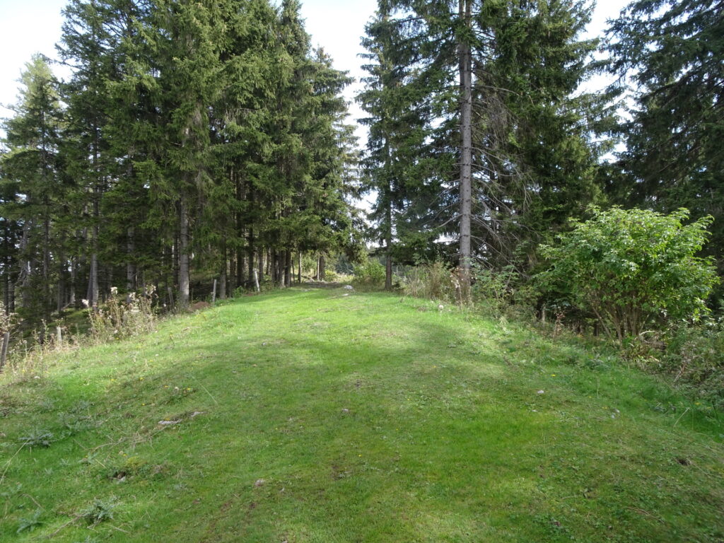
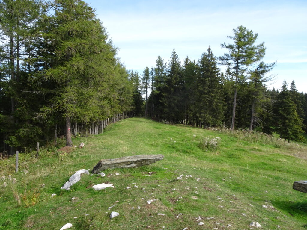
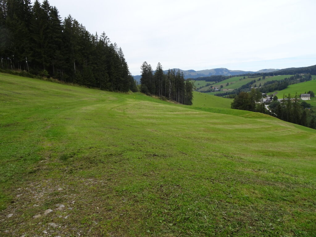
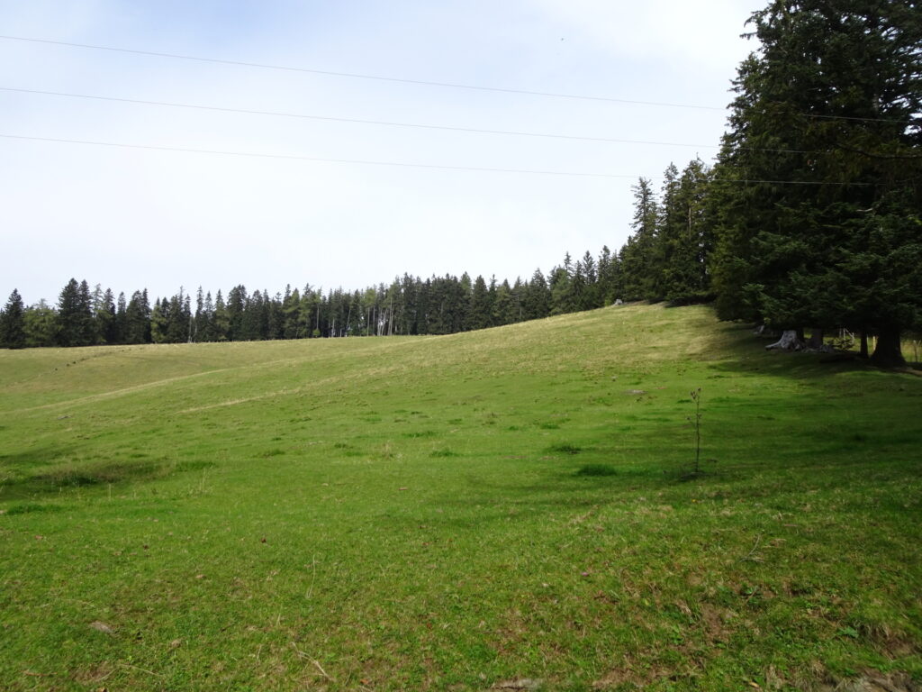
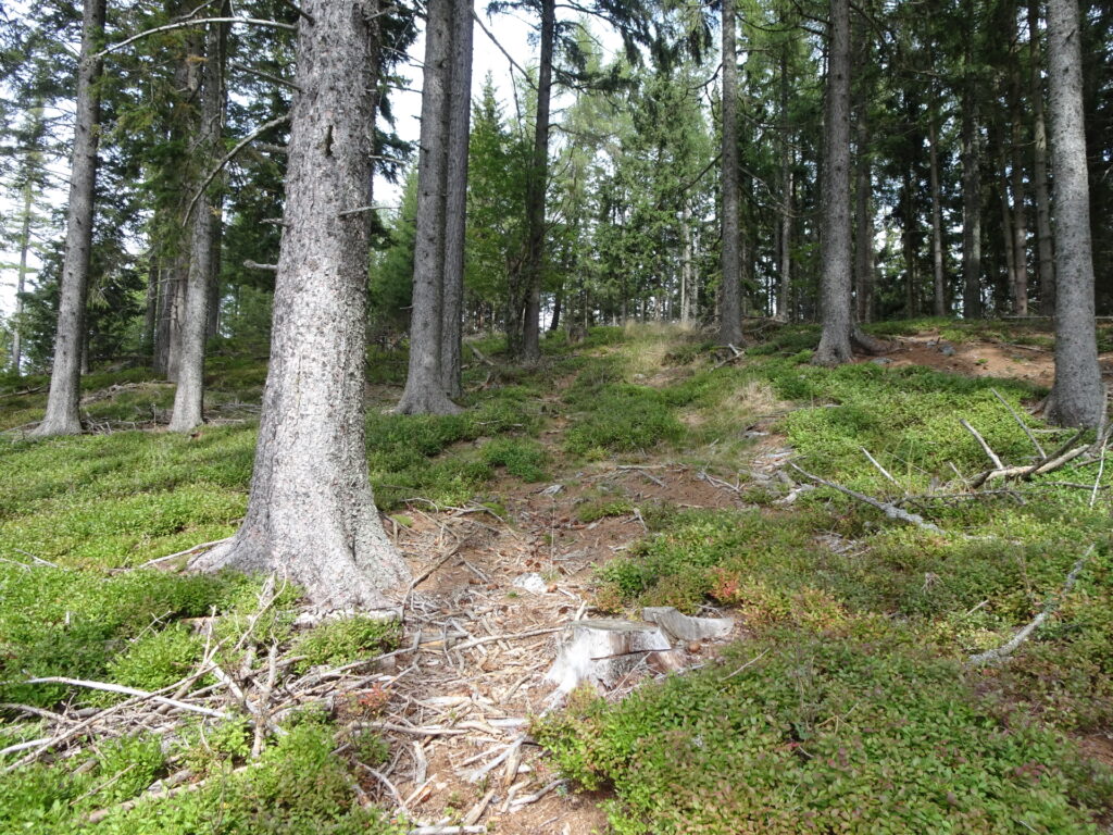
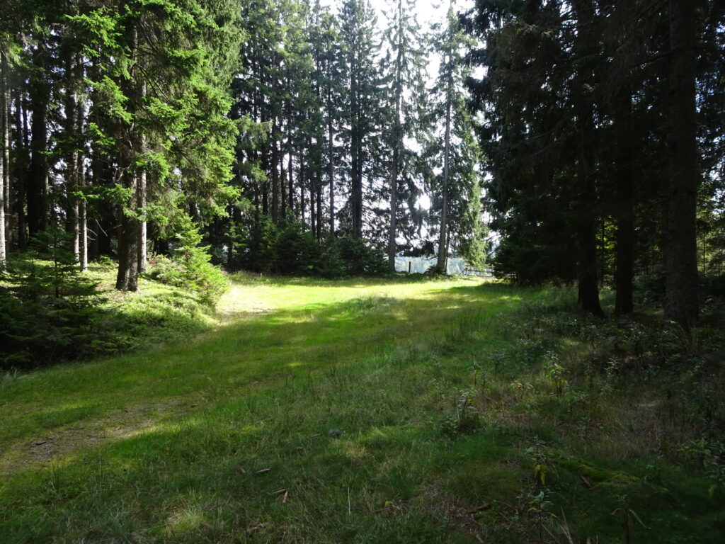
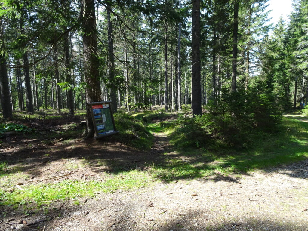
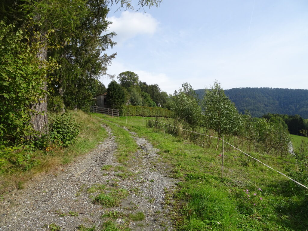
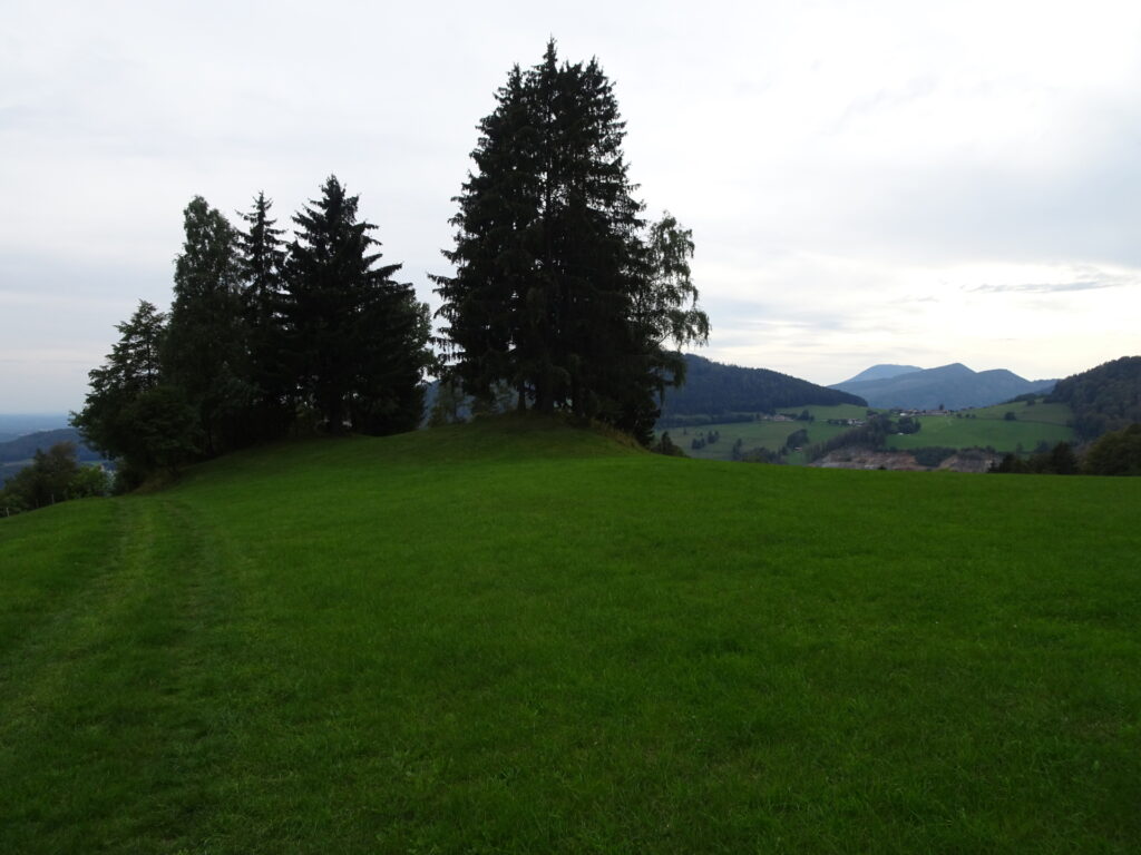
| 03:45 | Find your way: At Bendlerhöhe, find your way through the alpine pasture up to Pommesberg (I first continued following the trail westwards till end of the meadow and then found a way along the fence. |
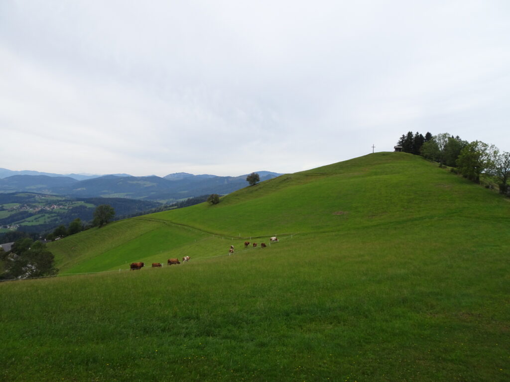
| 04:00 | At the end of the meadow, turn right and find your way along the fence up to Pommesberg. There is no direct trail up to Pommesberg, just traces of a trail. A GPS and good orientation is required from here! |
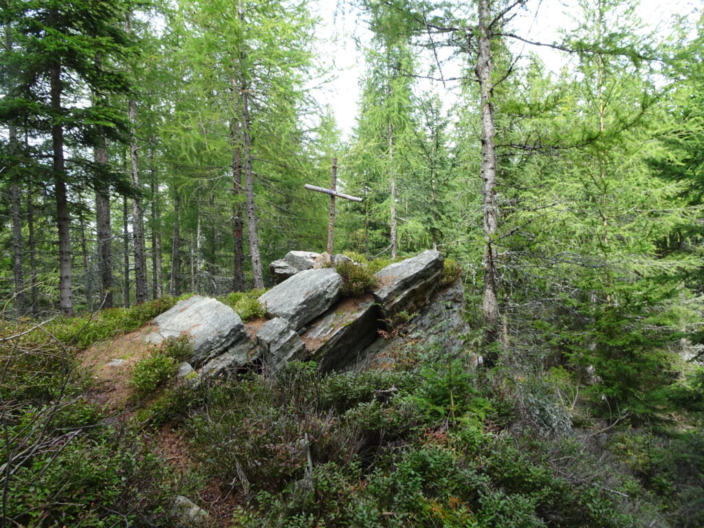
| 04:10 | Check in at Pommesberg (SummitLynx checkpoint) and enjoy a self-brought refreshment (). |
| 04:20 | Find your way back to where you left the trail. |
| 04:30 | Back at the trail, turn right and follow trail 745 westwards. |
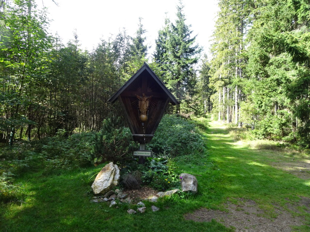
| 04:40 | At the Schöne Kreuz crossing, keep straight and continue following the trail. |
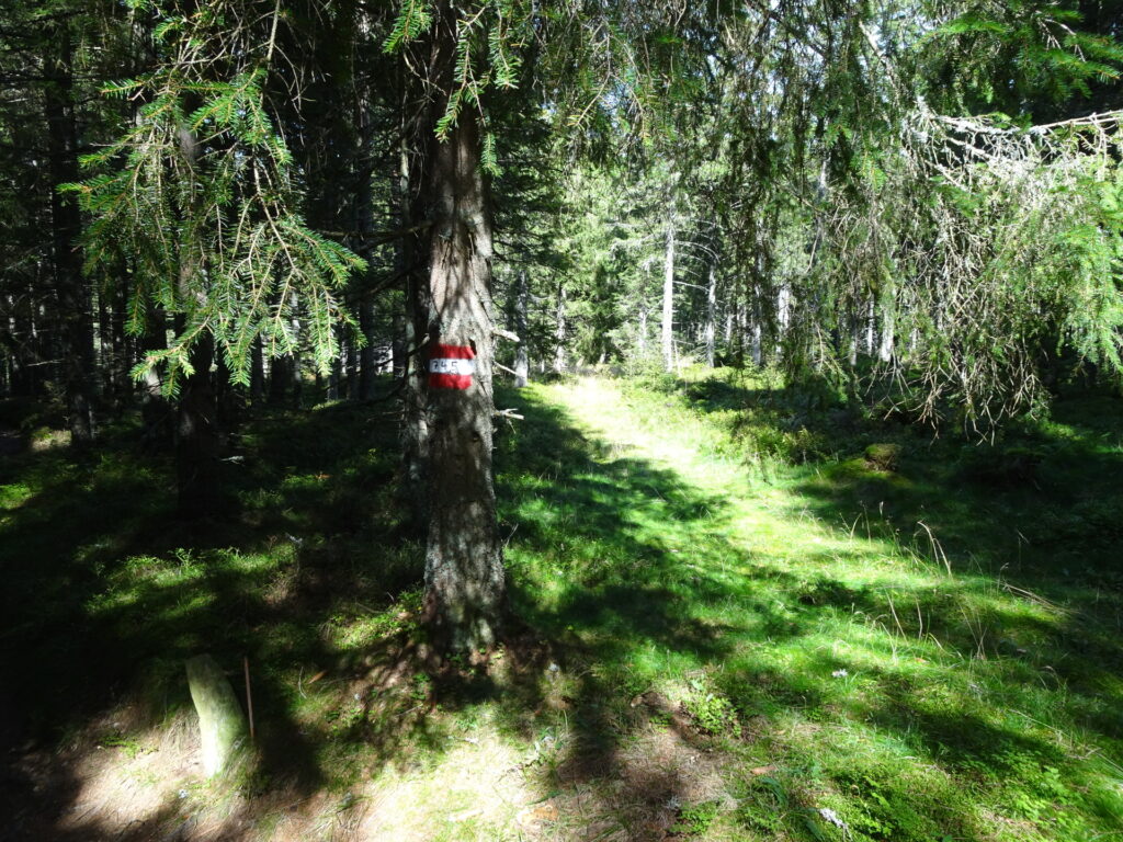
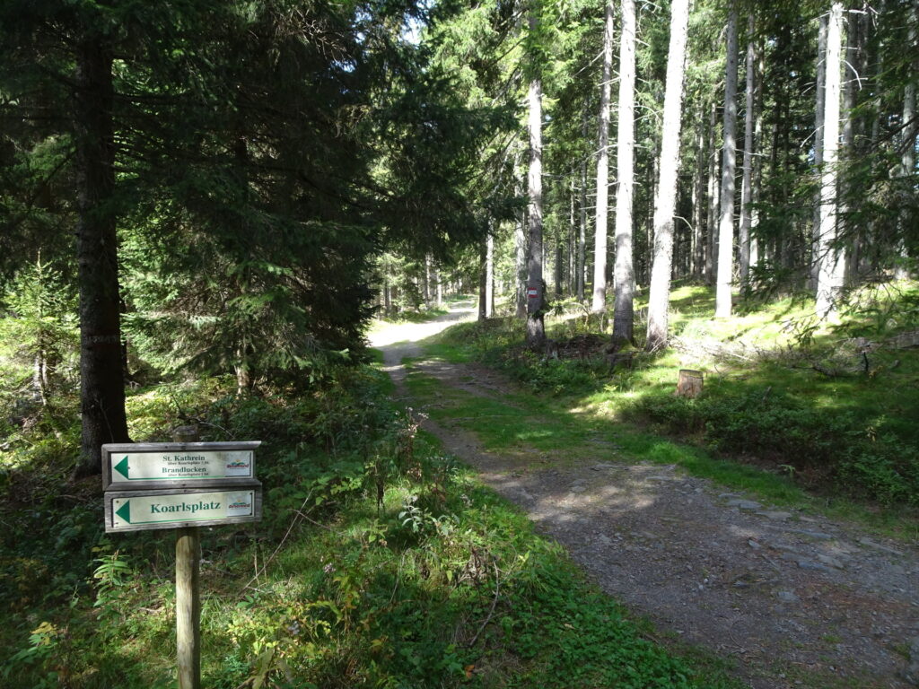
| 04:45 | At the crossing Koarlsplatz, keep right and continue following the red-white-red marked trail 745. |
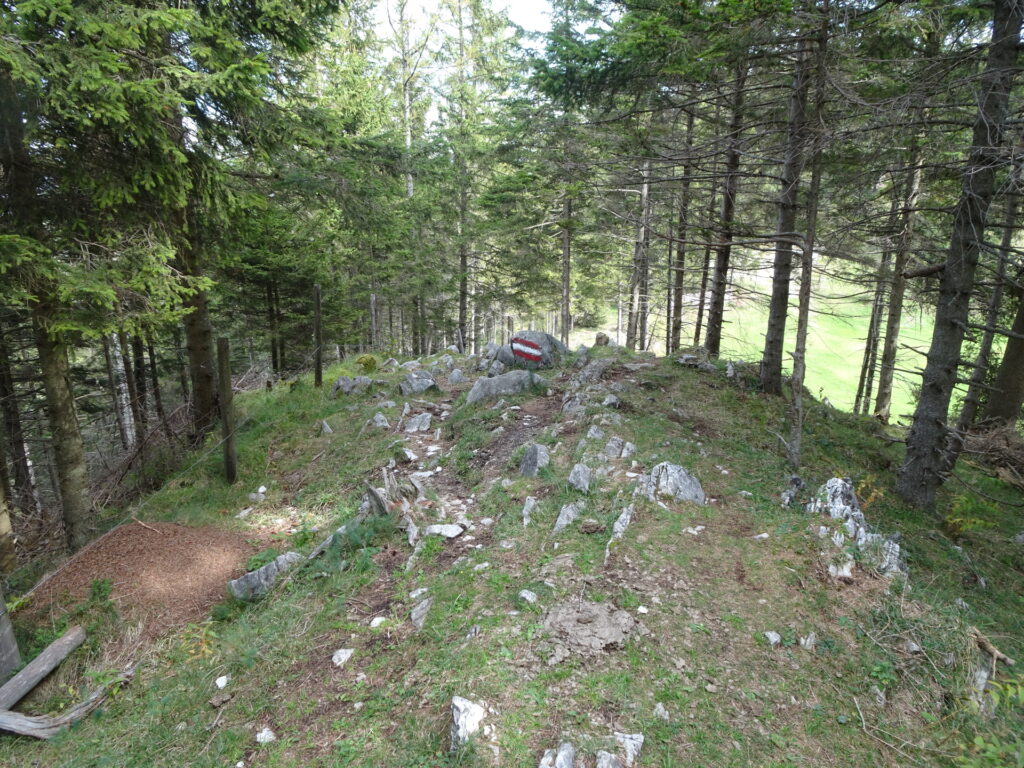
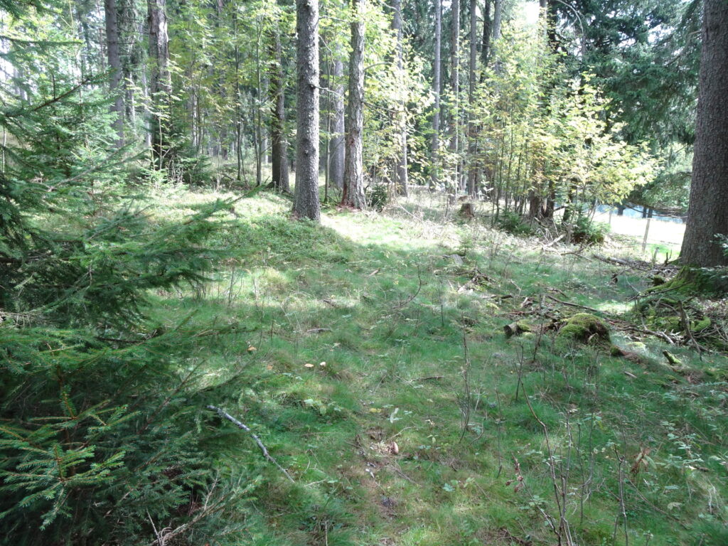
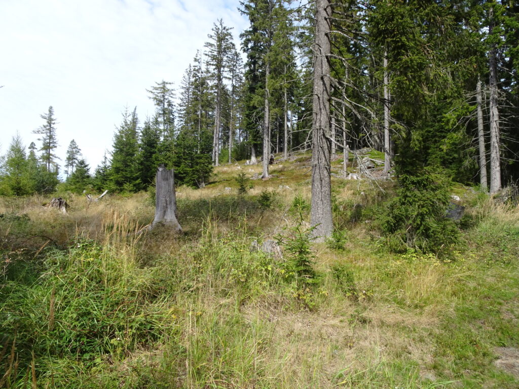
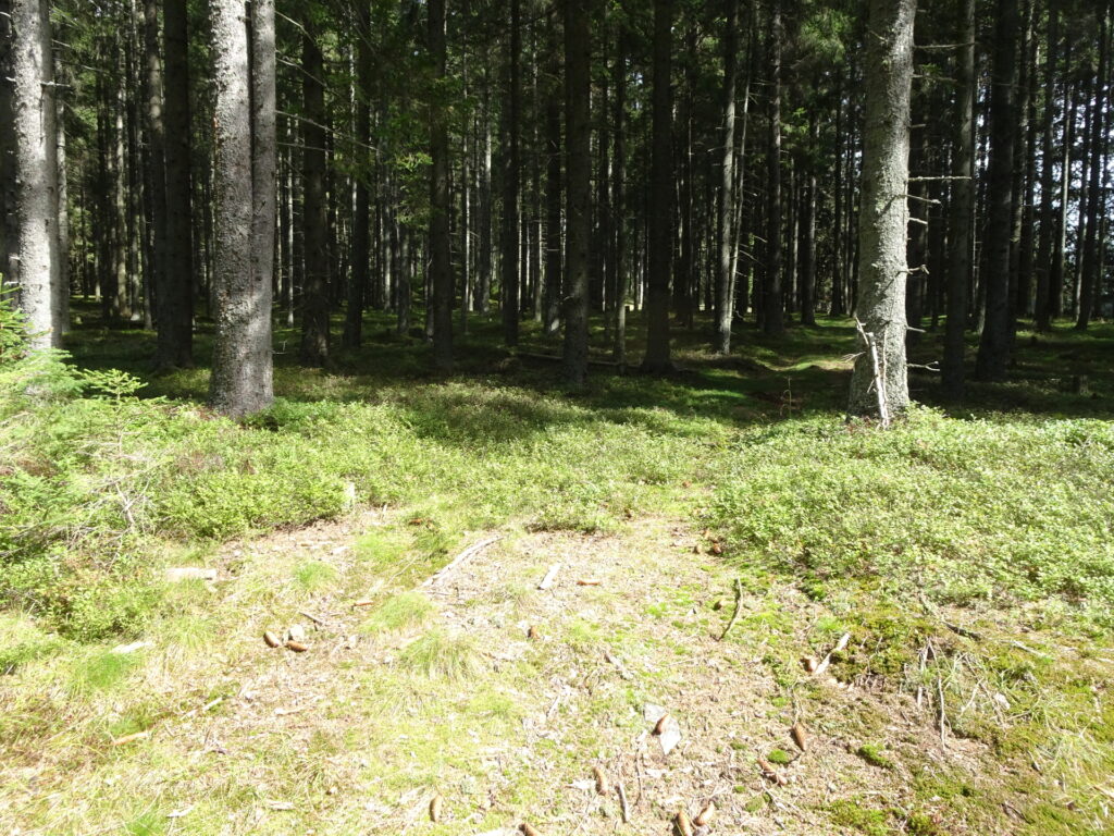
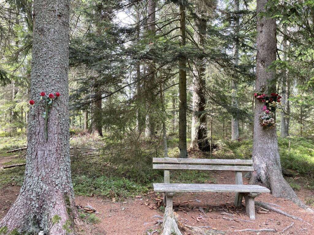
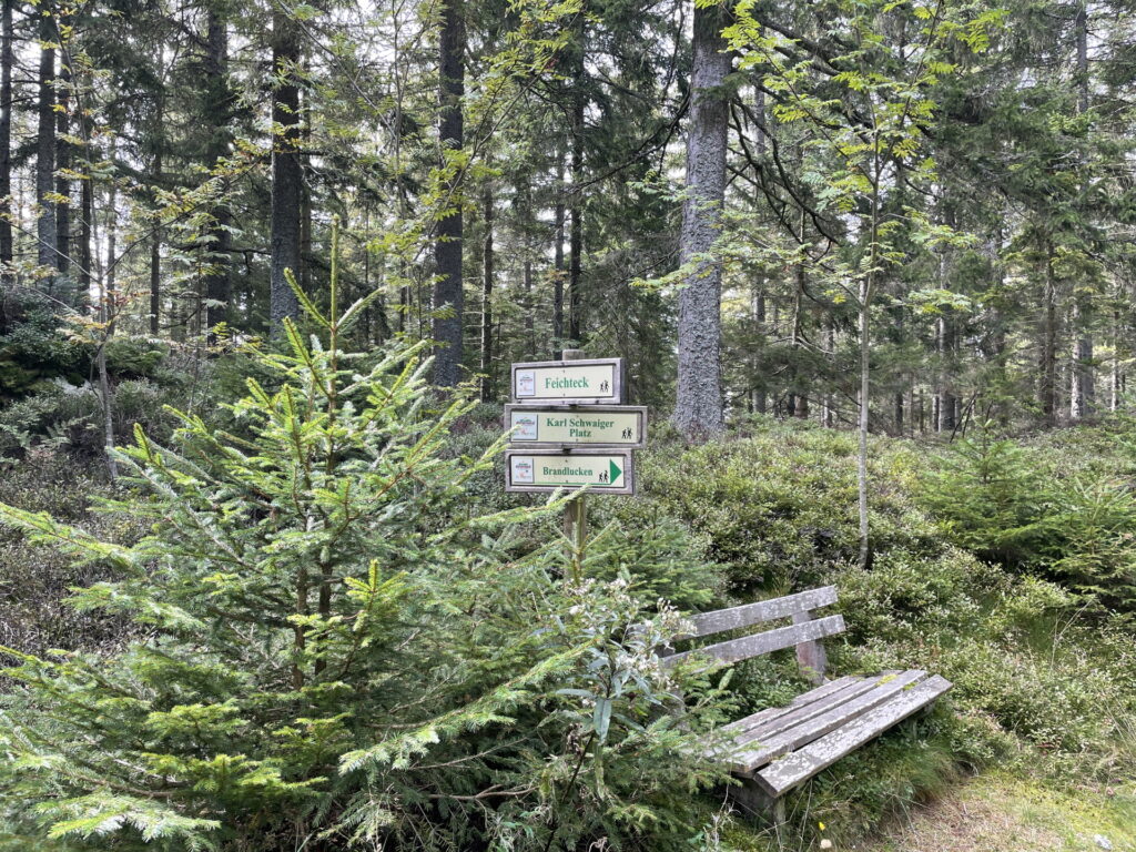
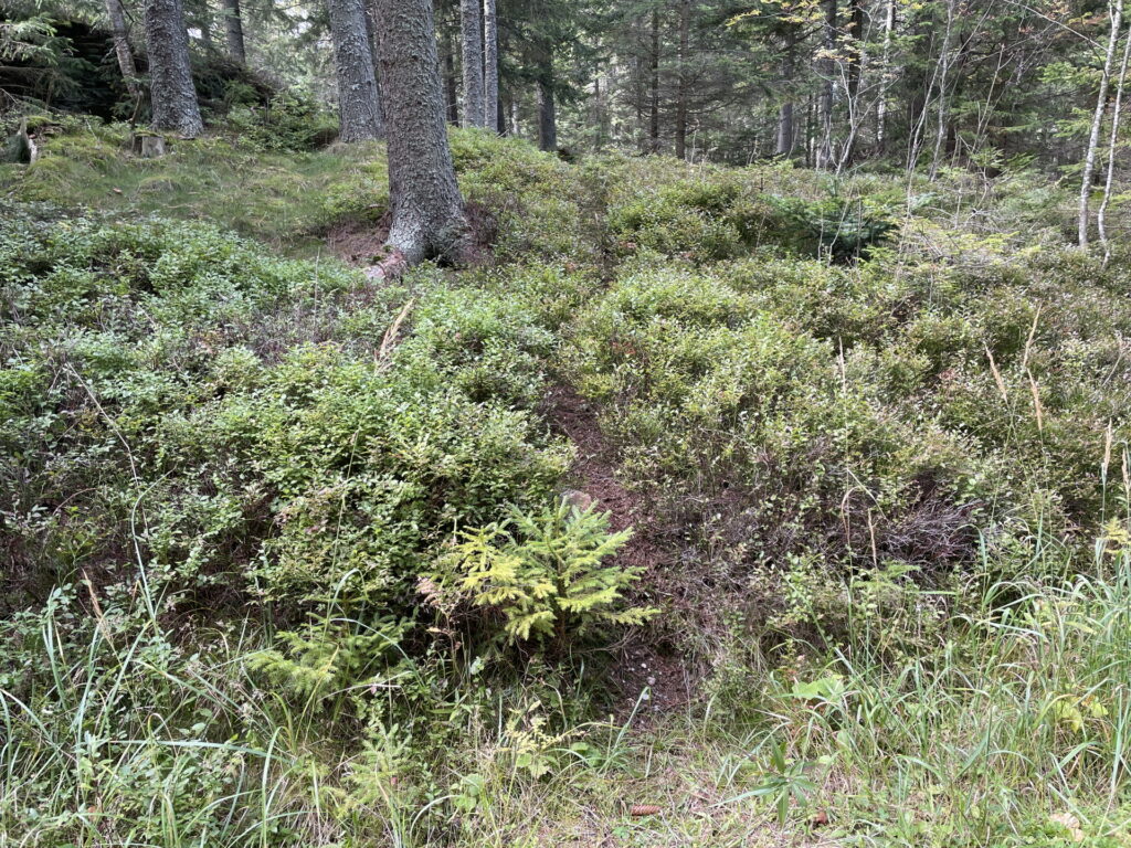
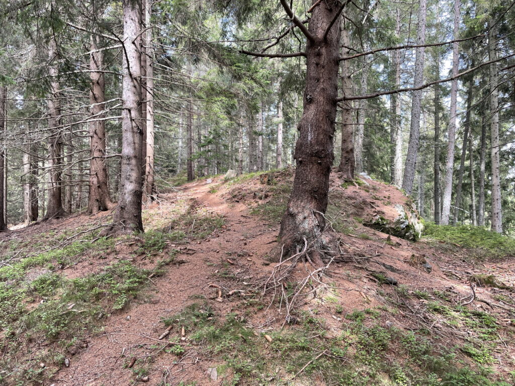
| 05:00 | Hard to find: A few meters after the Karl Schwaiger Platz rest area, turn left into the barely visible trail and follow the trail through the forest up to Feichteck. |
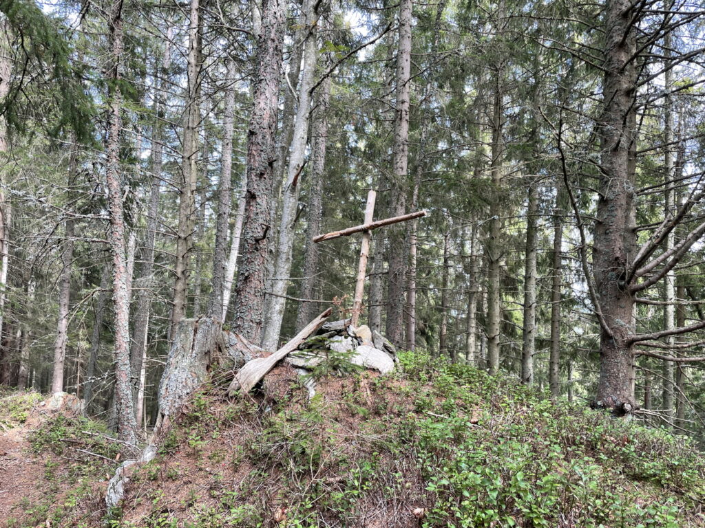
| 05:05 | Check in at Feichteck (SummitLynx checkpoint) and enjoy a self-brought refreshment (). |
| 05:15 | Follow the same way back till the Schöne Kreuz crossing. |
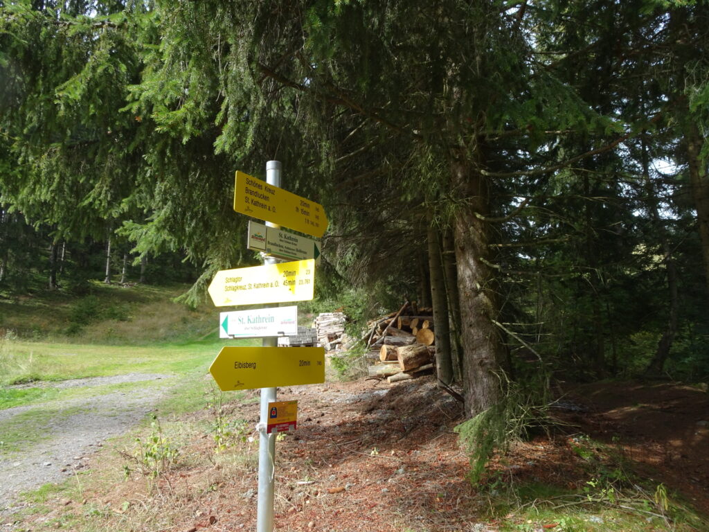
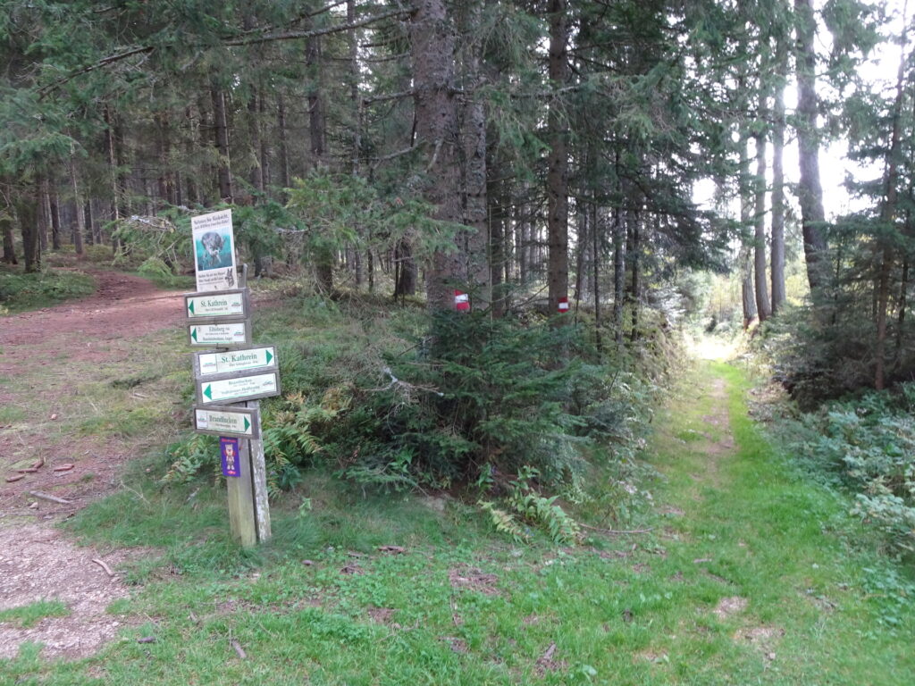
| 05:30 | At the crossing of Schöne Kreuz, turn right and follow trail 761 towards St. Kathrein über Schlagkreuz (see signposts!). |
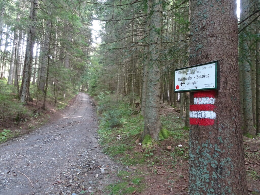
| 05:40 | At the crossing, turn left and follow the trail towards Gschnaider – Zetzweg. |
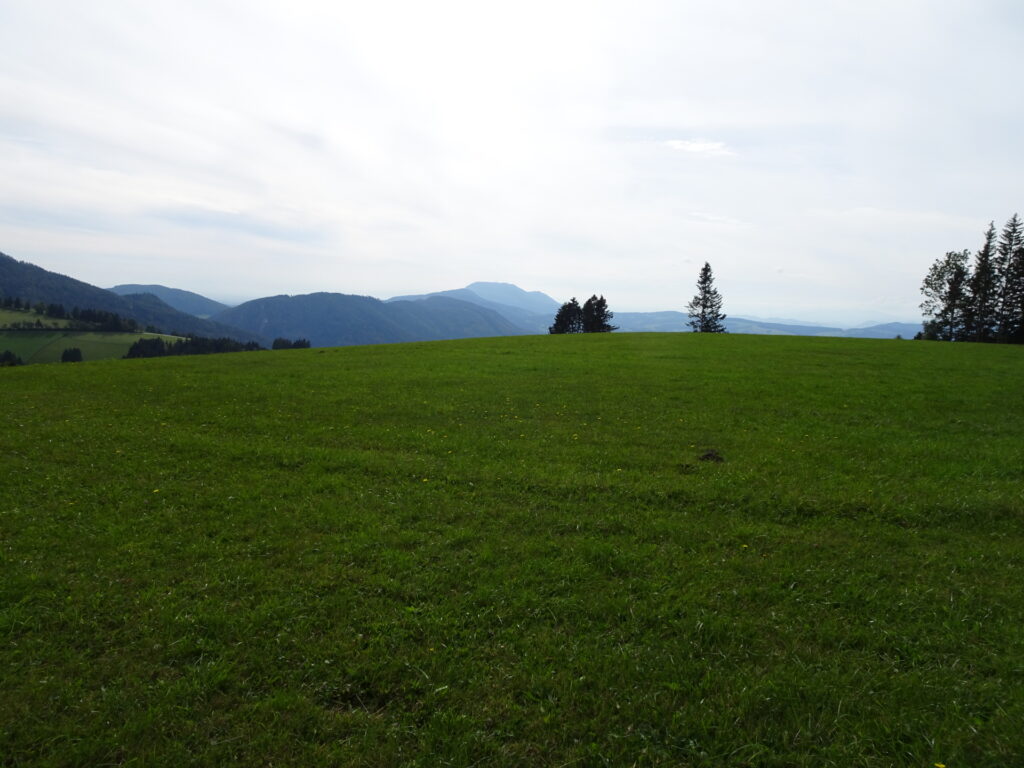
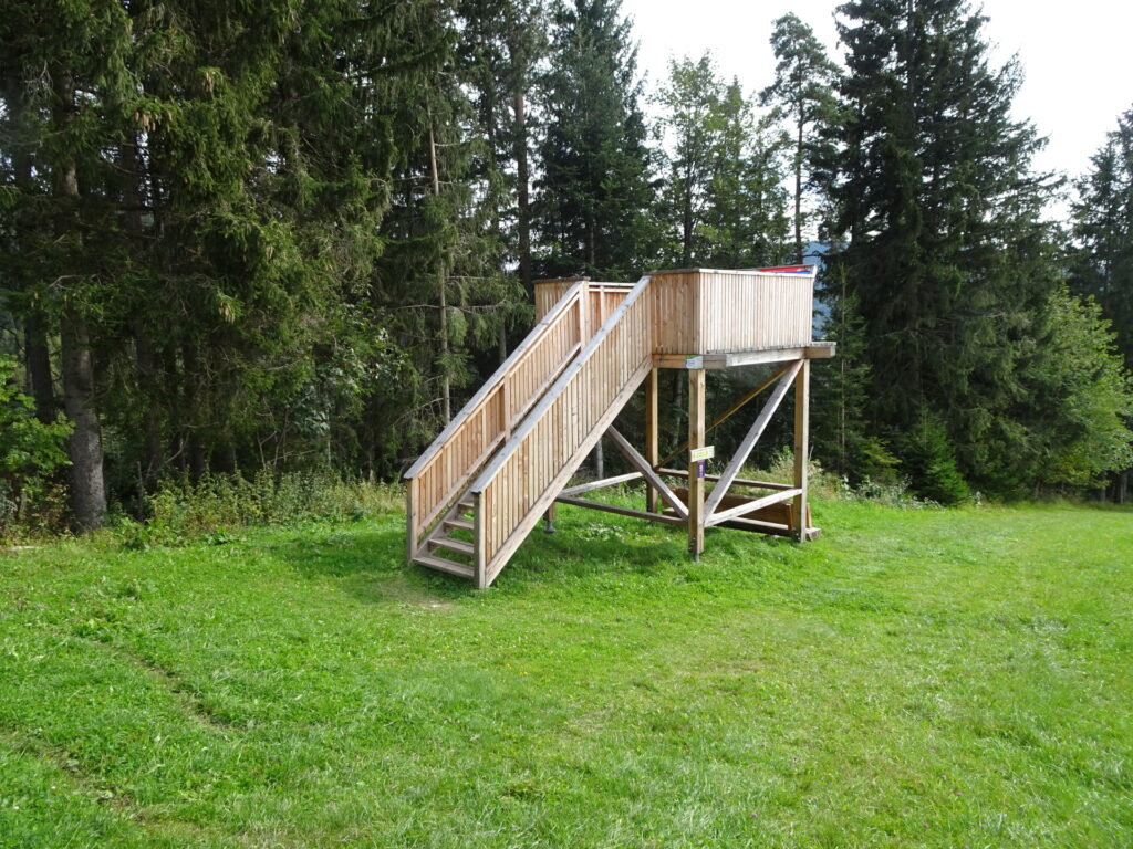
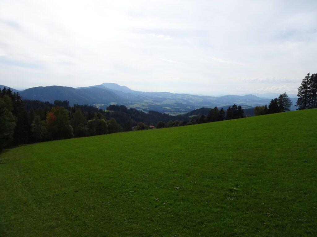
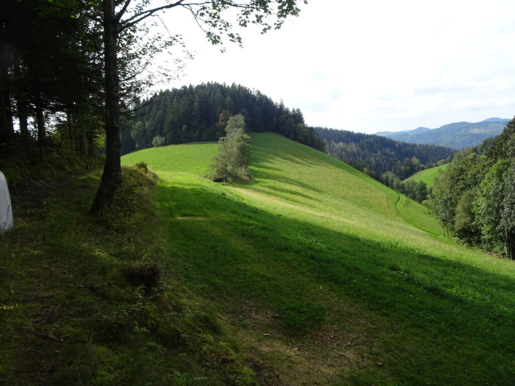
| 05:45 | At the next crossing, turn right and follow the trail out of the forest into the mountain pasture. First keep on the street and then follow the trail towards the viewing platform. |
| 05:50 | After enjoying the view from the viewing platform, follow the Vogelbeer Panoramaweg (see signposts) towards St. Kathrein. |
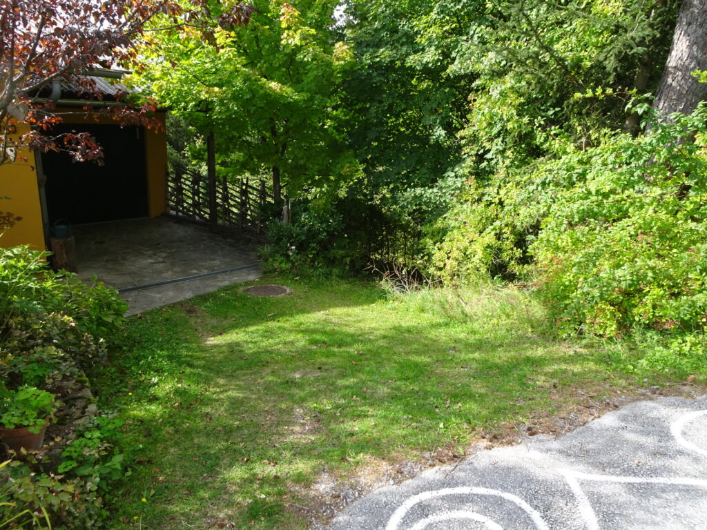
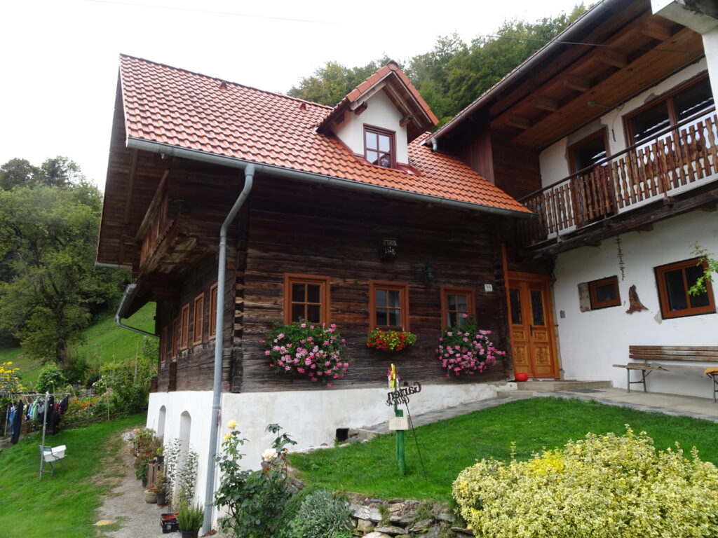
| 06:00 | At the street crossing, turn sharp left and follow the trail towards the Sulamith Gardens (SummitLynx checkpoint). At the first possibility, turn sharp right and follow the trail (next to the garage) downwards. |
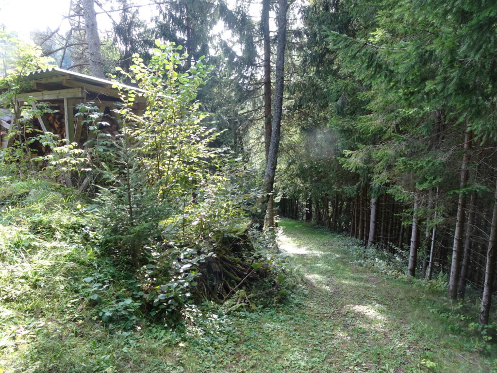
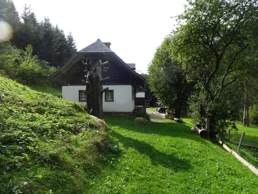
| 06:10 | At the house, bypass the house at its right hand-side and follow the narrow path around the garden (on the right). Do not follow the forest road as it leads nowhere! |
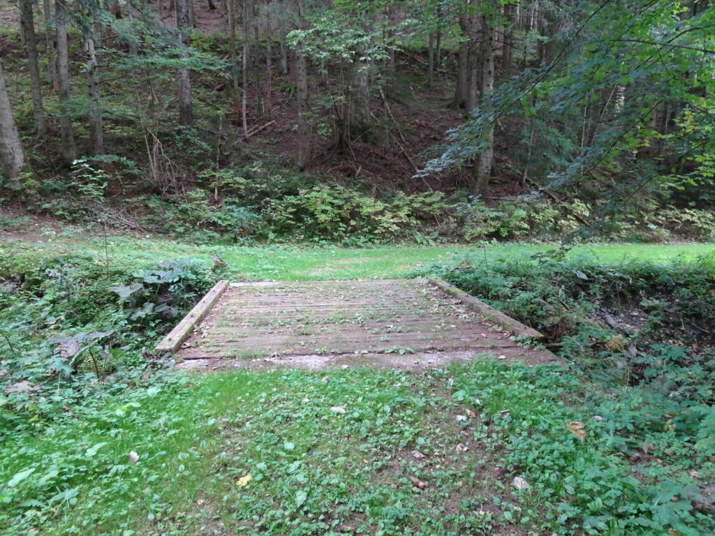
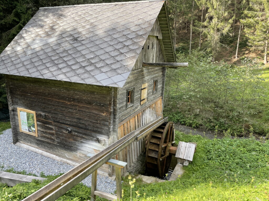
| 06:15 | Cross the bridge and follow the water-mill hiking trail. The tour can be shortened by following the forest road after the house (keep left) and then the street (keep left 2x). |
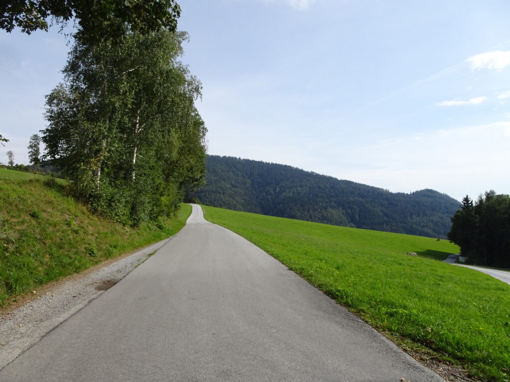
| 06:25 | After passing by the garages, turn sharply left and follow the road upwards Note: The hiking trail continues opposite of the street but is in no good condition. |
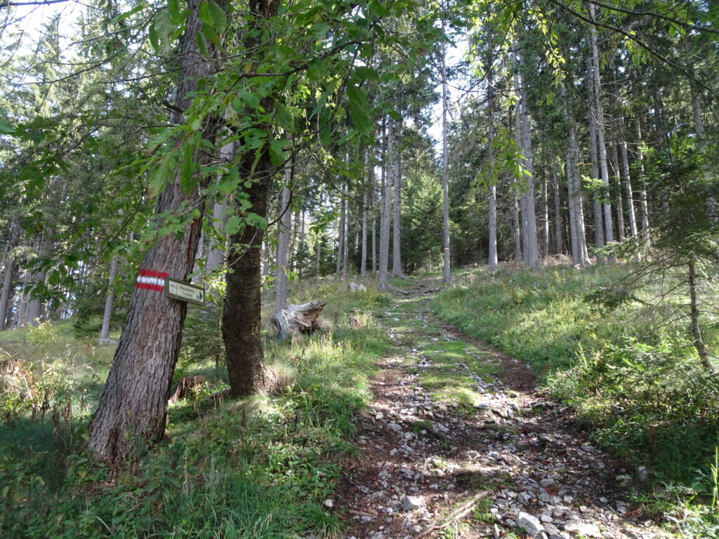
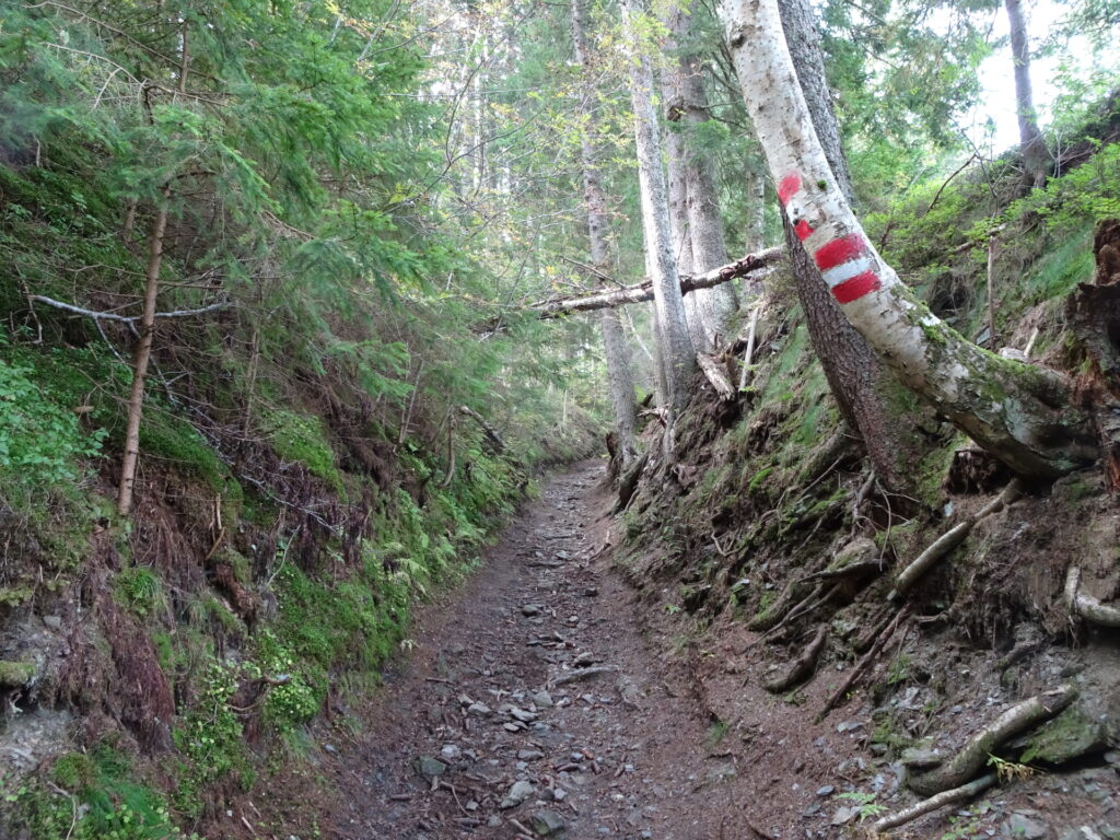
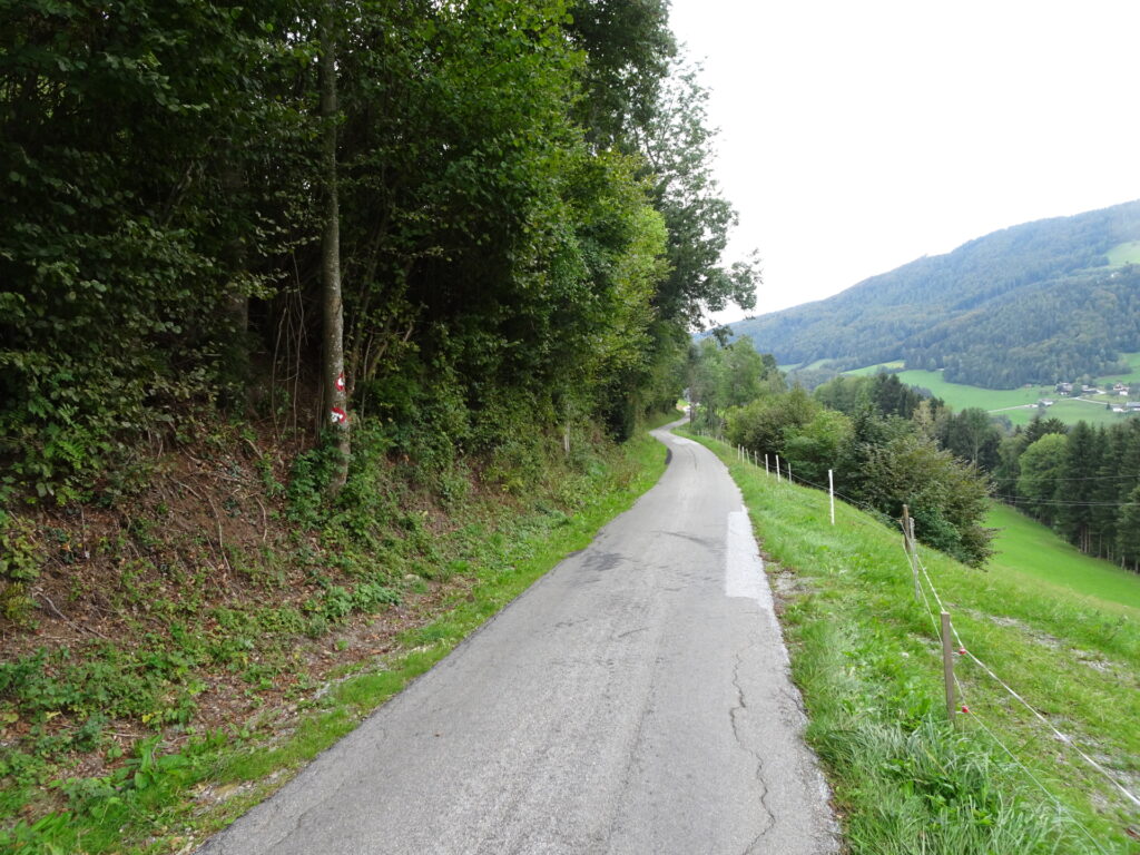
| 06:30 | Turn right into the forest trail and follow the trail which leads automatically back to the marked hiking trail. At the crossing with the hiking trail after a few meters, keep straight and now follow the red-white-red marked hiking trail. |
| 06:35 | At the crossing, keep straight and continue following the street towards Patschaberg – Am Sattel (see signposts). |
| 06:55 | At the crossing, keep right and follow the lower trail towards Am Sattel. |
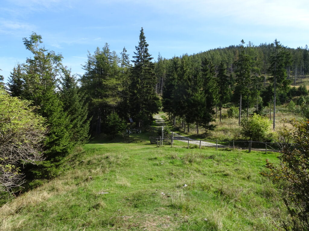
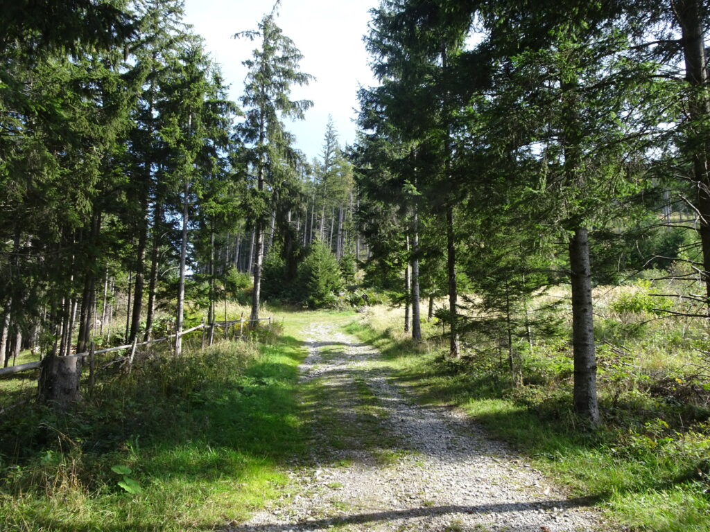
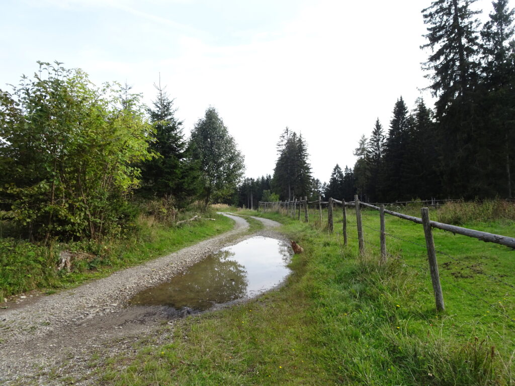
| 07:20 | At the crossing of Am Sattel, keep straight and follow the forest road southwards for an easy descent. |
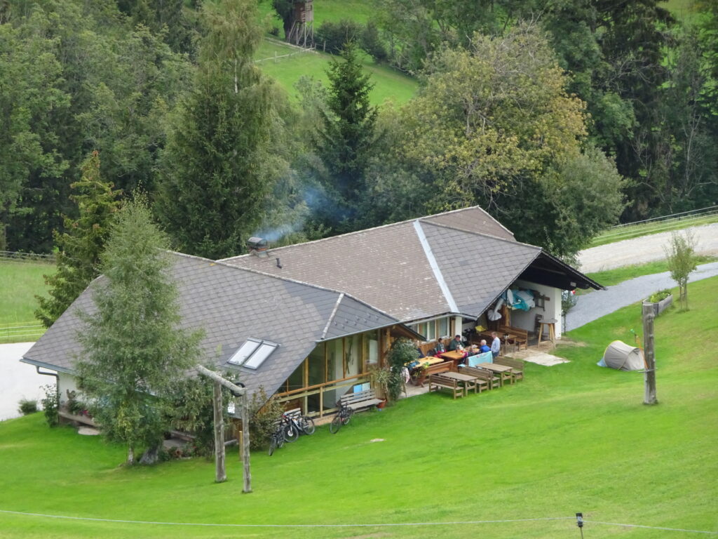
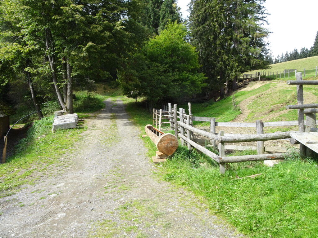
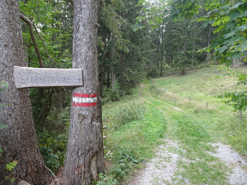
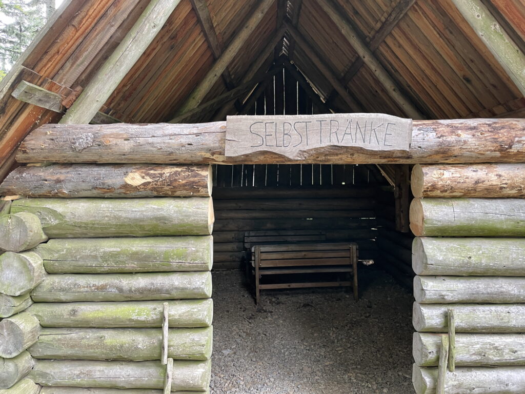
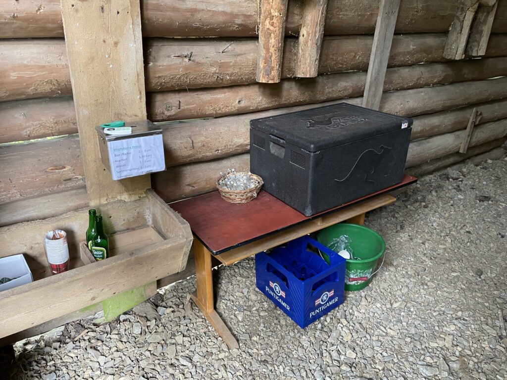
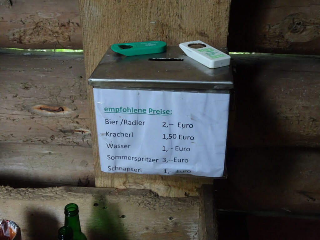
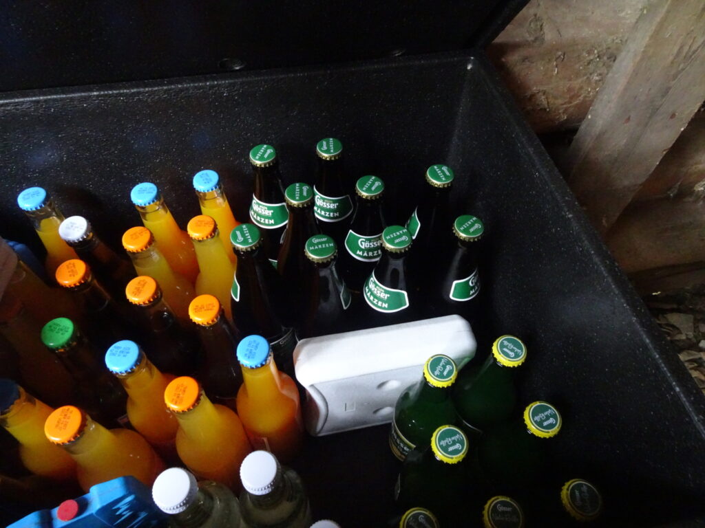
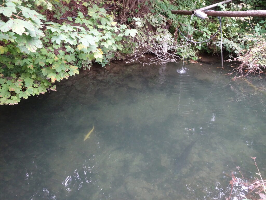
| 07:25 | Turn left and follow the sign towards Selbsttränke. Enjoy an awesome service of the locals, providing cooled refreshments for a donation (). |
| 07:30 | After a well-deserved refreshment, walk back to the forest road and continue following the marked trail 763 downwards. |
| 07:35 | At the crossing, keep straight and leave the marked trail. Follow the forest road downwards. |
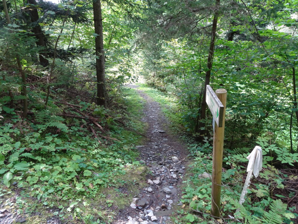
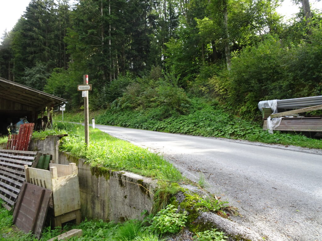
| 07:45 | At the crossing, do a U-turn and follow the red-white-red marked trail downwards towards Gössental (see signpost). |
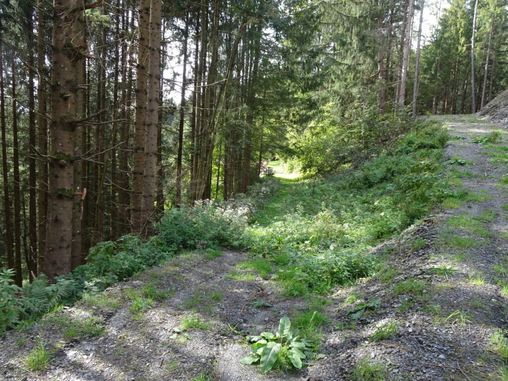
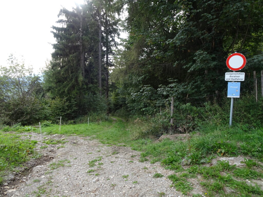
| 08:00 | Turn right, leave the street and follow the red-white-red marked trail downwards. |
| 08:10 | At the crossing, turn right and follow the street downwards towards the other end of Jägersteig. |
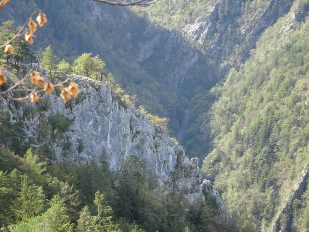
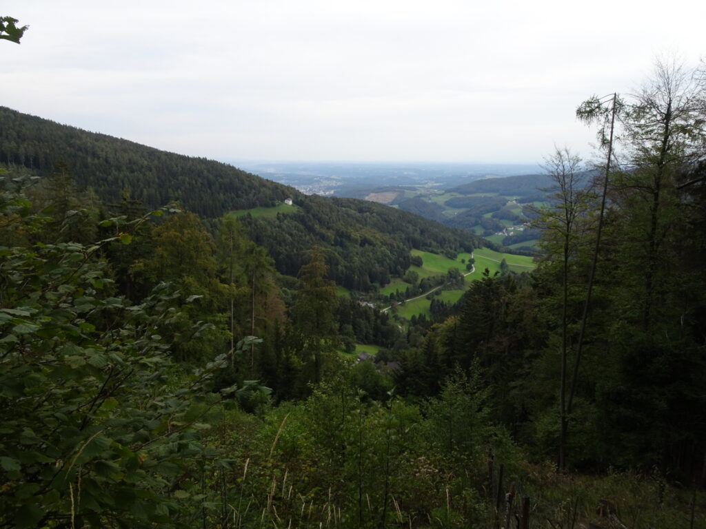
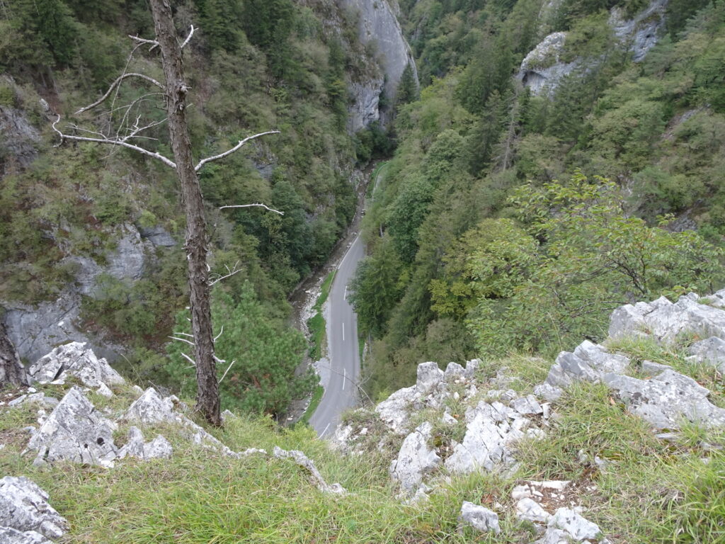
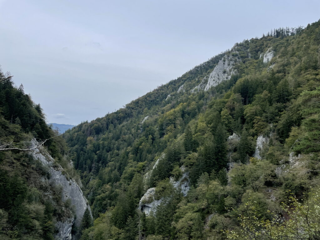
| 08:20 | Turn right into the Jägersteig and follow the entire Jägersteig back to the parking. Consider enjoying the marked viewing places of this amazing hiking trail. |
| 09:20 | Back at the parking, end of the tour. |
General Tour Data
| Area: | Grazer Bergland, Styria, Austria | |
| Distance: | 31km | |
| Ascent: | 1630m (2h 25min) | |
| Descent: | 1620m (2h 10min) | |
| Highest Pt: | 1287m | |
| Lowest Pt: | 565m | |
| Duration: | 8h 15min (without breaks) 9h 20min (with breaks) |
|
| Stop/Rest: |
Patschahütte (1048m) Schutzhütte Eibisberg (1200m) Lindenstüberl (1013m) |
|
| Equipment: | Comfortable hiking shoes Backpack with standard hiking equipment Snacks and plenty of water 2-3x “Gipfelbier” () Sun & Weather protection Camera GPS strongly recommended! |
| Download GPX | ||
| O | Tour at outdooractive.com |
At a glance
| Level | difficult |
| – UIAA Level (Climbing) | I |
| – Via Ferrata Category | A |
| Technique | |
| Shape / Fitness | |
| Experience | |
| Scenery | |
| Best time in the year | |
|
Jan
Feb
Mar
Apr
May
Jun
Jul
Aug
Sep
Oct
Nov
Dec
|
|
You will get points for:
- Am Sattel: 3 points
- Pommesberg: 2 points*°
- Feichteck: 2 points*
- Sulamith Garten: 1 point
* hard to find checkpoints.
° checkpoint not reachable via direct trail!












Leave a Reply