
Along the Wildwasserpfad up to Hochwechsel from Mariensee and then further to St. Corona via Arabichl
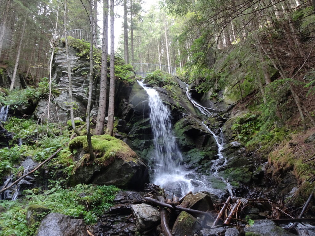
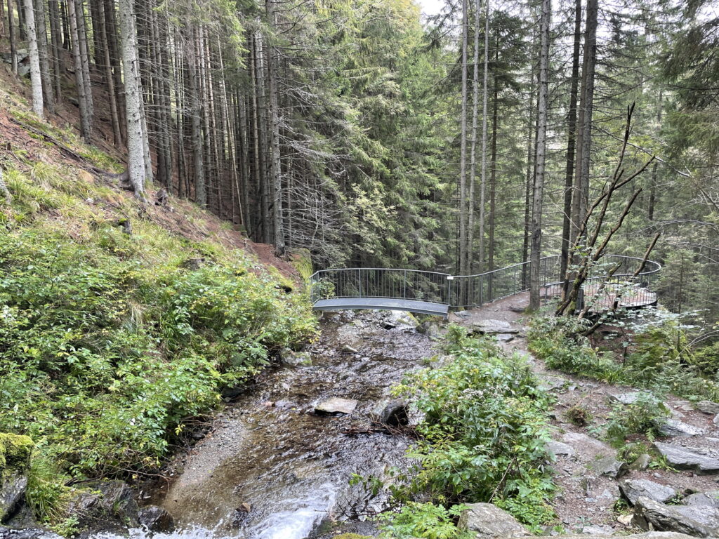
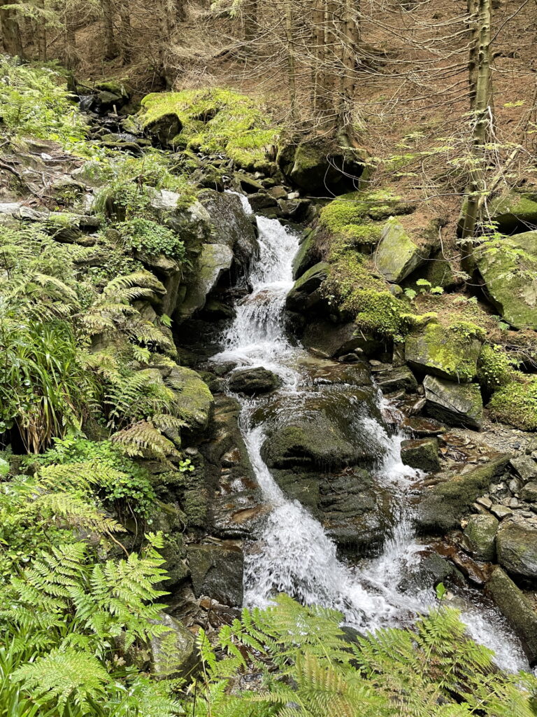
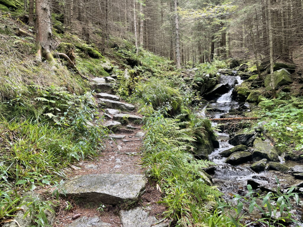
The tour starts at the bus stop Mariensee / Almbauer (line VOR 372) and continues following the road westwards along the Großer Pestingbach river. After bypassing the parking of Wildwasserpfad, the tour leaves the street and follows the hiking trail along the river. The trail leads automatically to the impressive waterfall with its viewing platform on top. The tour then continues following the trail along the river till finally reaching the forest road. Following this road southeastwards, the tour first bypasses the Marienseer Schwaig and then continues following the marked hiking route up towards Hochwechsel. After a well-deserved break at the Wetterkoglerhaus, the tour then follows the hiking trail northwestwards towards Dreiländereck. The tour then follows the trail through the alpine pasture towards the distinct Arabichl and then continues eastwards following the marked hiking trail towards Kampsteiner Schwaig. At the crossing, the tour continues following the trail eastwards to the Herrgottschnitzerhütte. From there, the tour follows the marked hiking trail downwards towards Sankt Corona. After bypassing Orthof and the big parking, the tour simply follows the street down which leads to the bus stop of Erlebnisarena St. Corona (line VOR 369).
| 00:00 | Start at the final bus stop of VOR line 372 Mariensee / Almbauer and first follow the street westwards. |
| 00:20 | Bypass the parking and continue following the street till it makes a U-turn. |
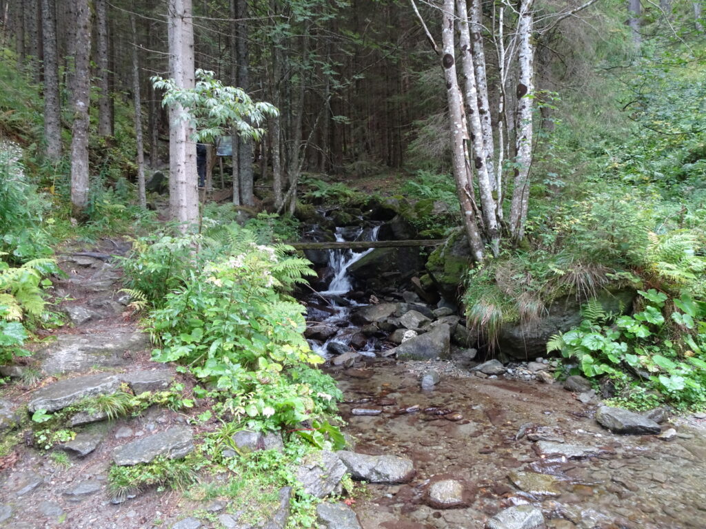
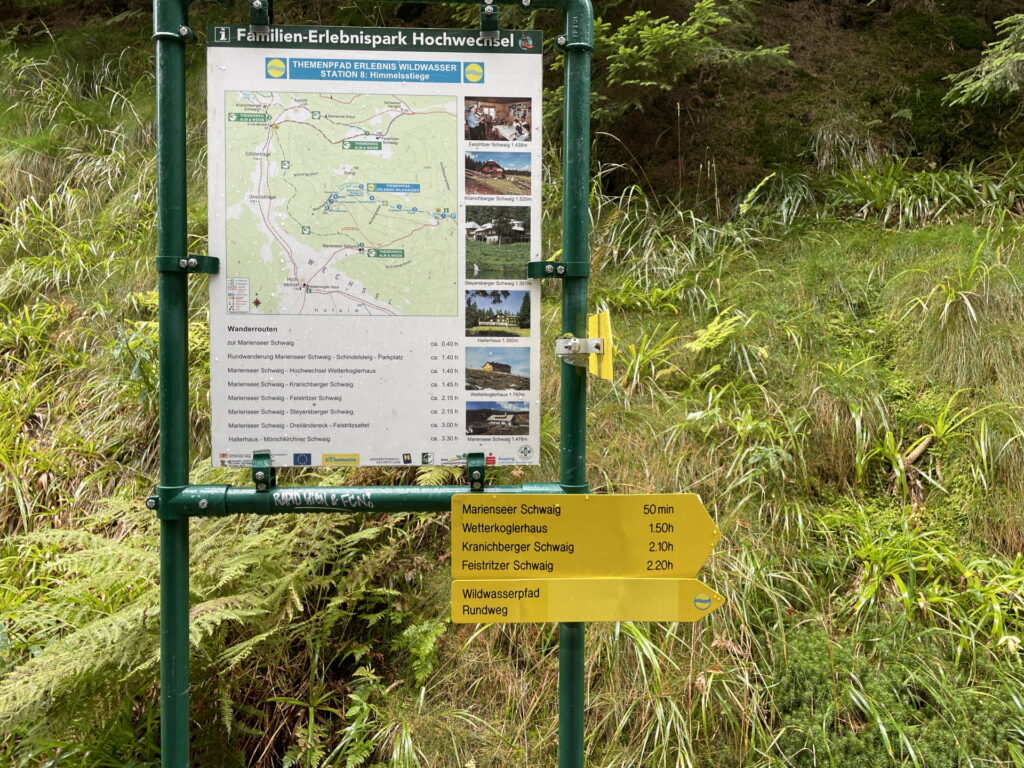
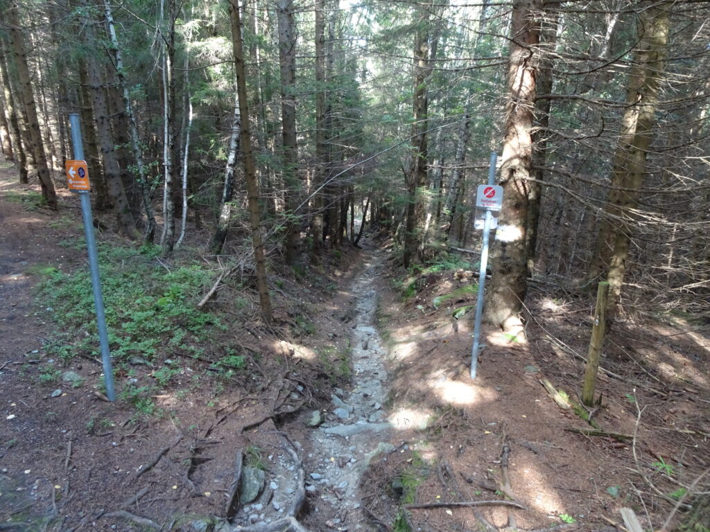
| 00:25 | A the U-turn, leave the street by keeping straight and follow the Wildwasserpfad hiking trail (see yellow signposts). |
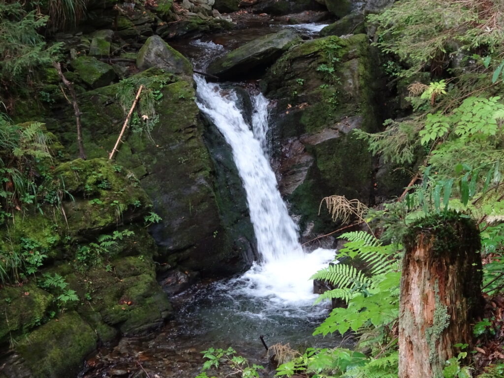
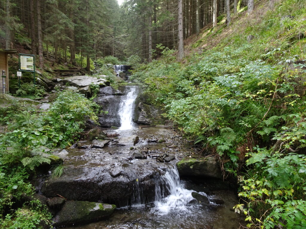
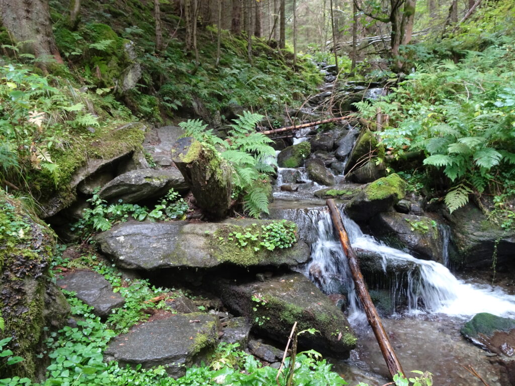
| 00:55 | At the crossing, turn left and follow the trail up to Wasserfall (waterfall). |
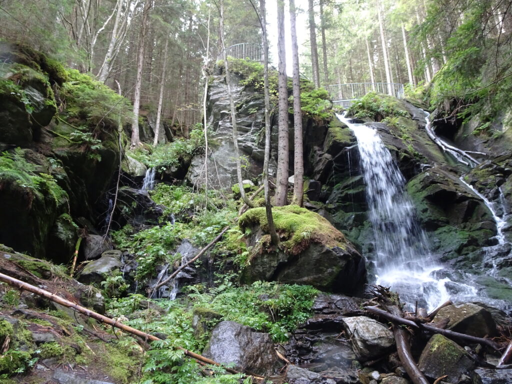
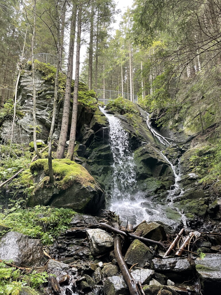
| 01:00 | Enjoy the impressive waterfall, best enjoyed with a self-brought refreshment (). |
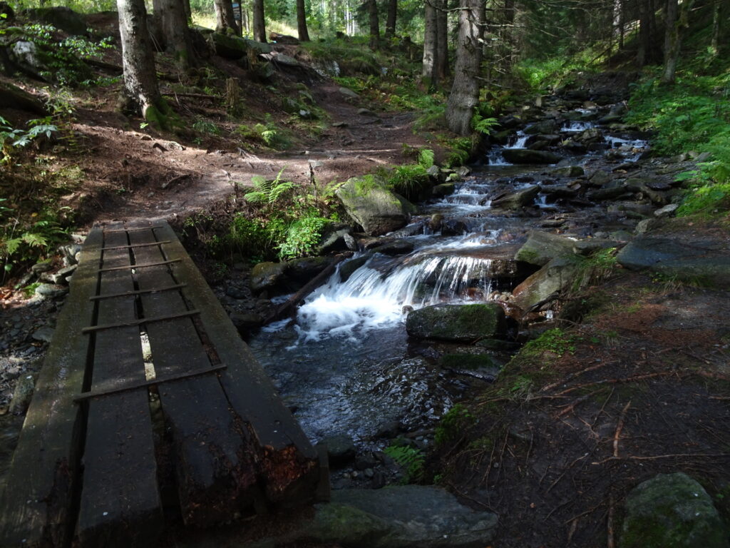
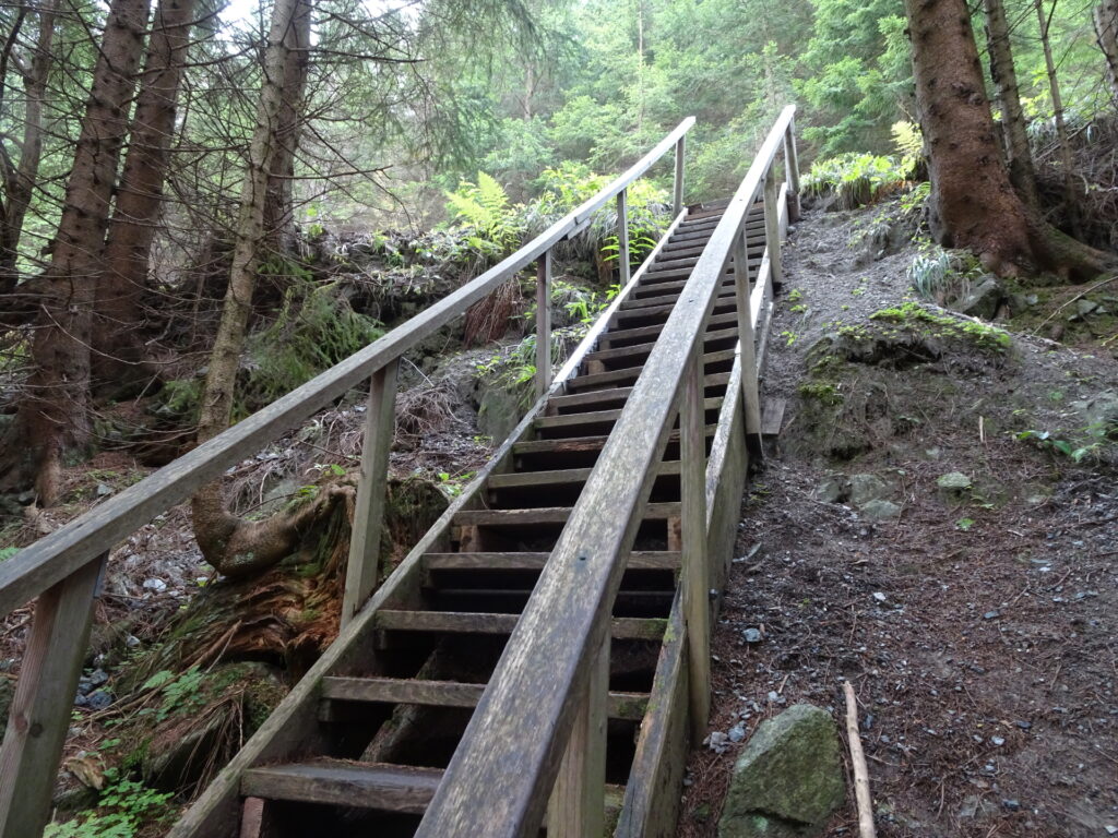
| 01:10 | Continue following the trail up along the river. |
| 01:20 | Turn right and follow the forest road up to Marienseer Schwaig (see yellow signposts). |
| 01:22 | At the crossing, turn sharp left and continue following the forest road up to Marienseer Schwaig. |
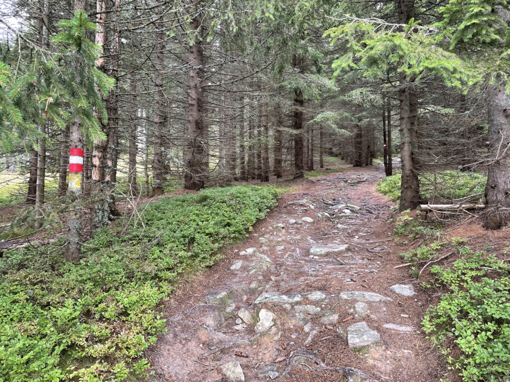
| 01:40 | At the crossing with Schindelsteig, turn right and follow the red-white-red marked trail towards Marienseer Schwaig. |
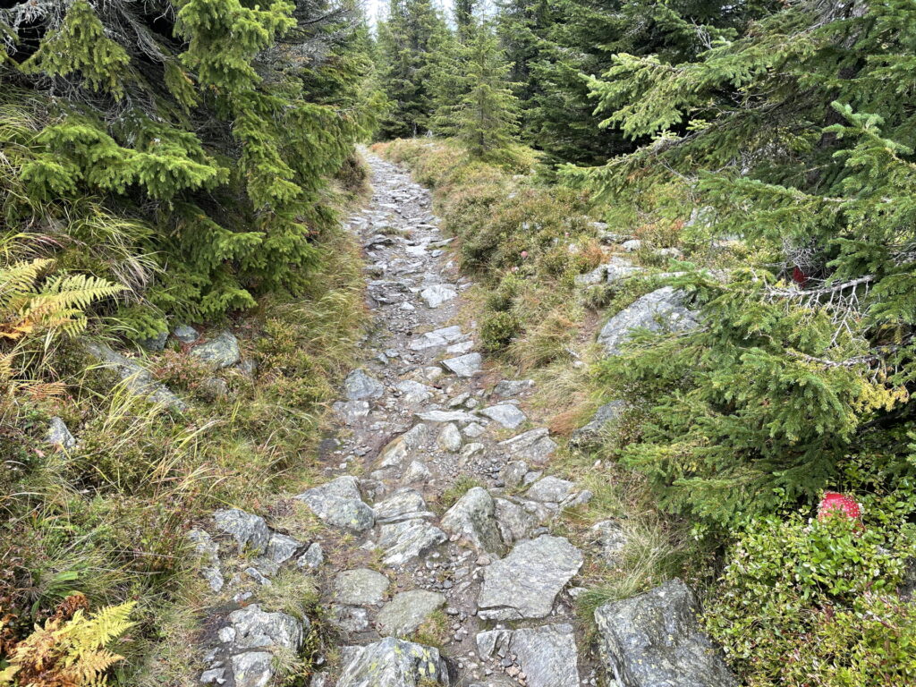
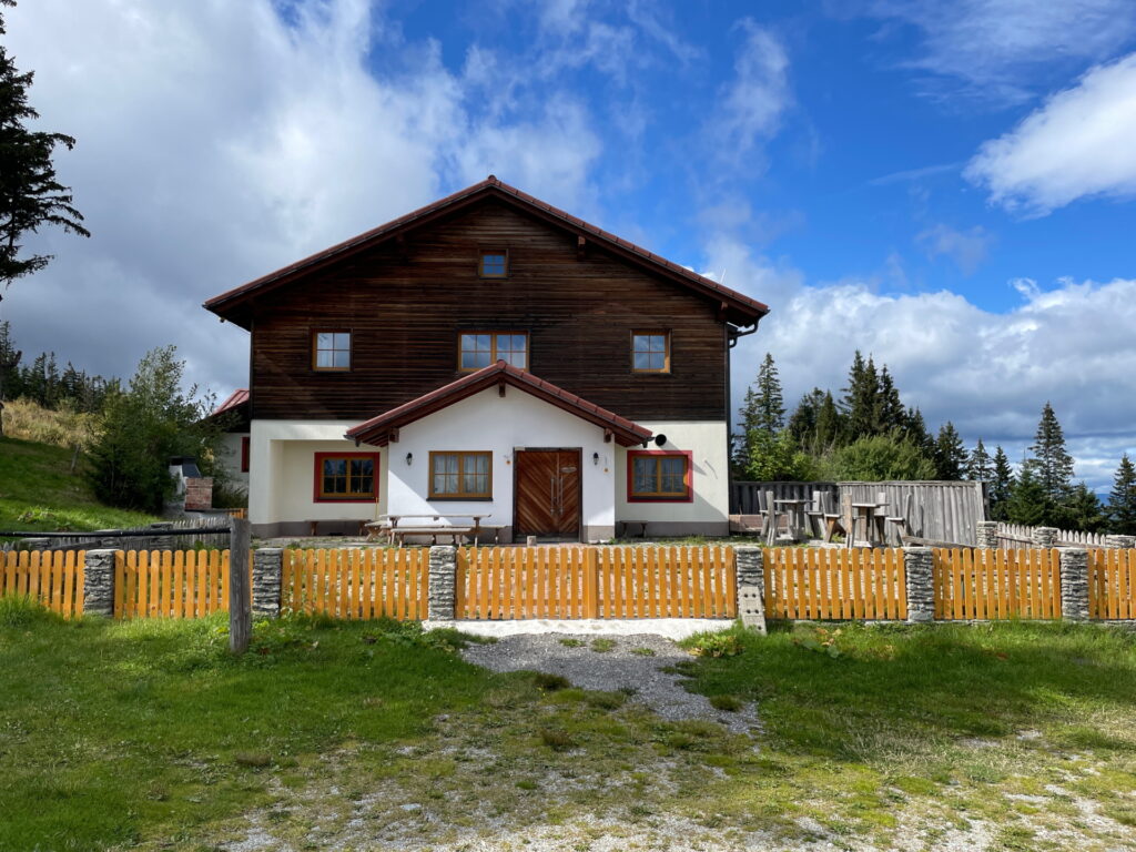
| 01:50 | Bypass the Marienseer Schwaig (optional consider a break for a refreshment ) and follow the red-white-red markings through the alpine pasture up to Hochwechsel. |
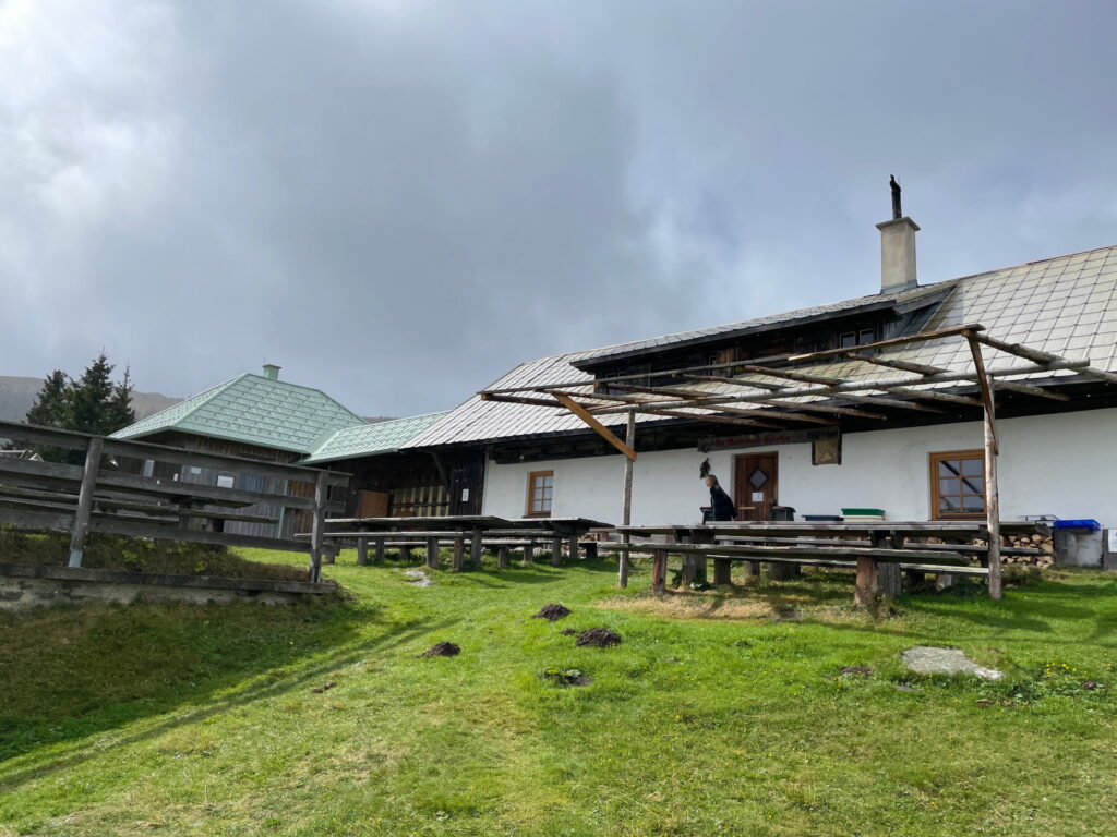
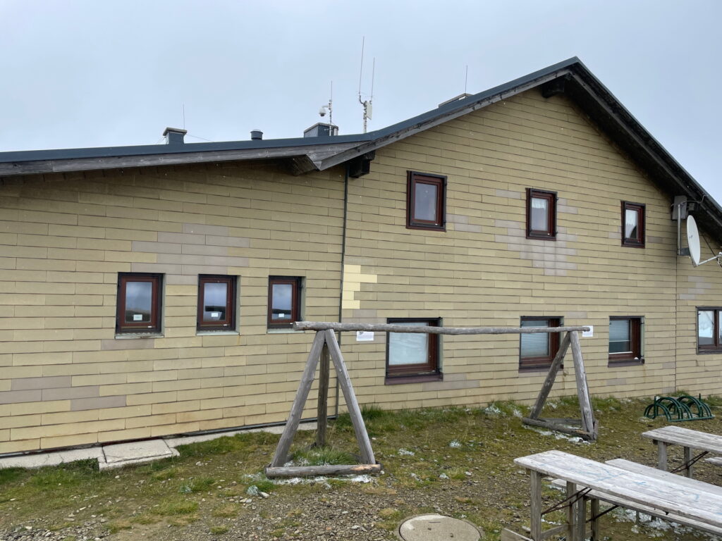
| 02:15 | Well deserved break ( ) at Wetterkoglerhaus. |
| 02:40 | Follow the Alpannonia® trail northwards towards Dreiländereck. |
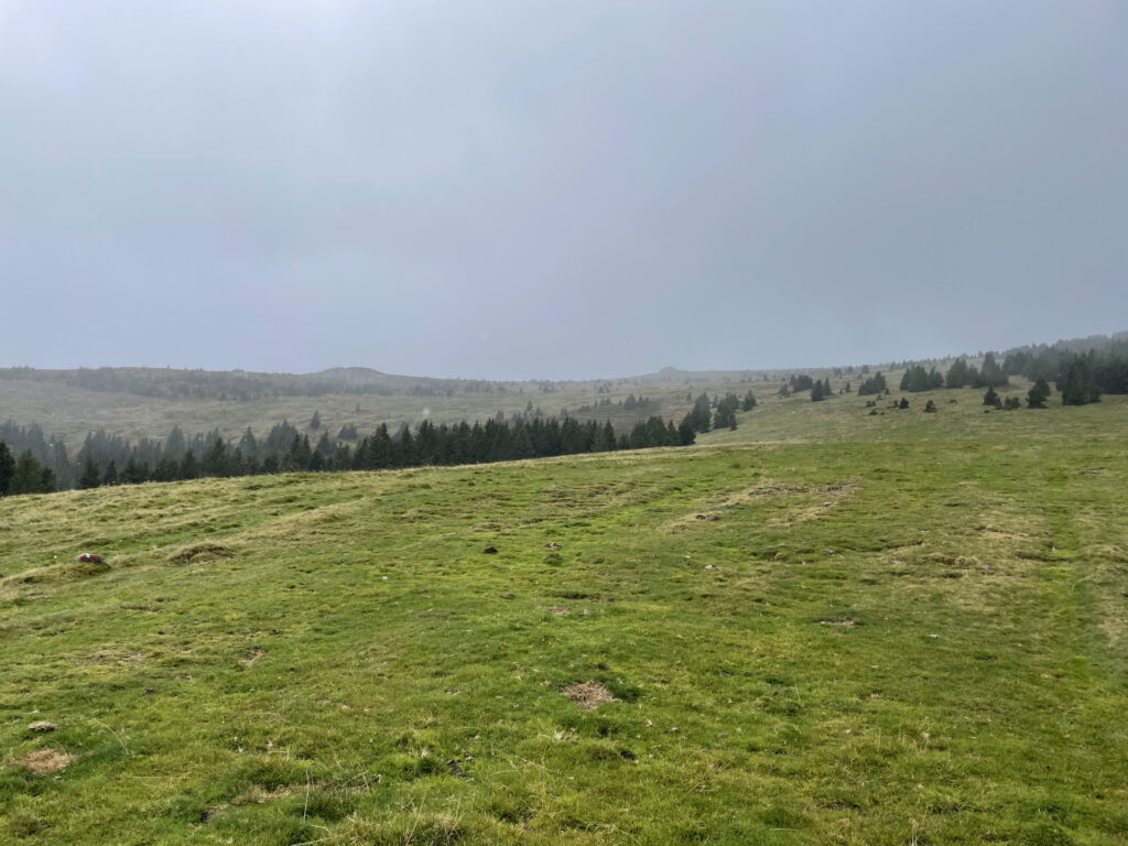
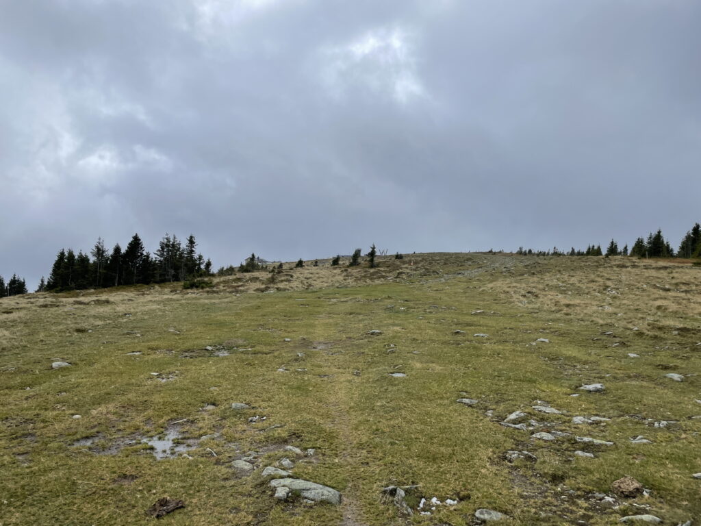
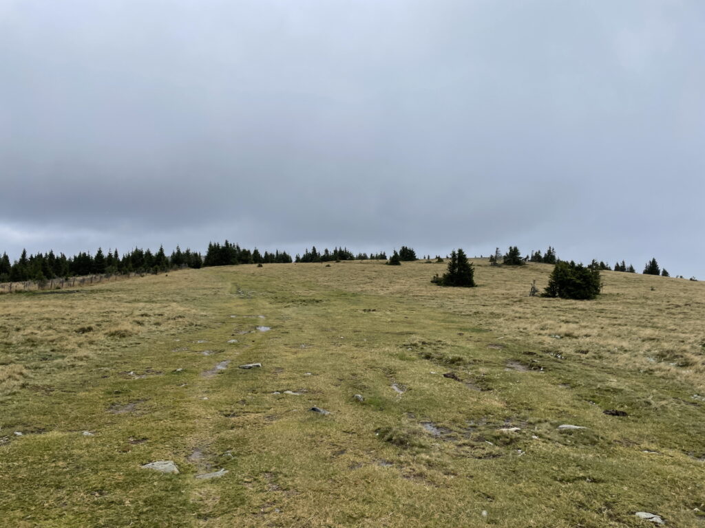
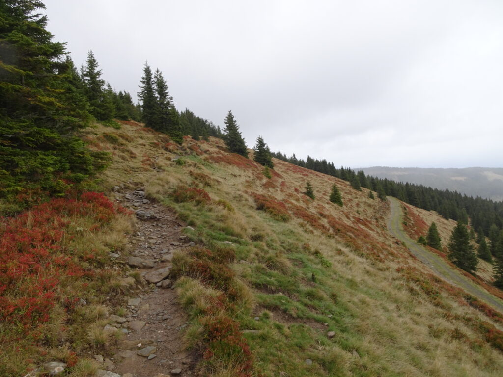
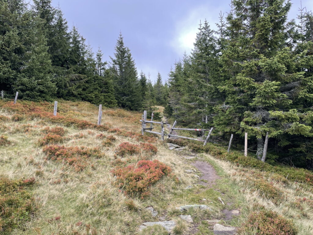
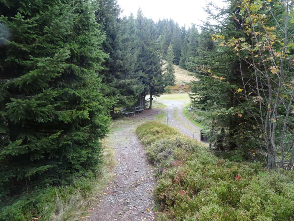
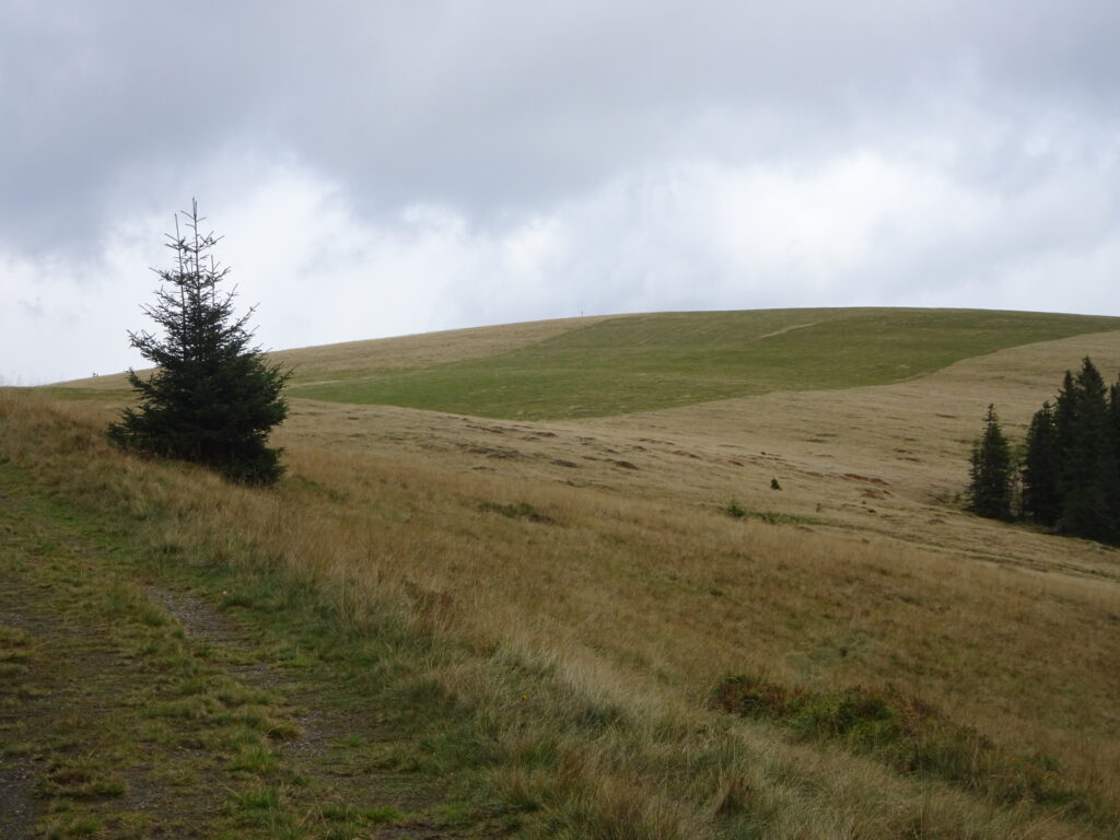
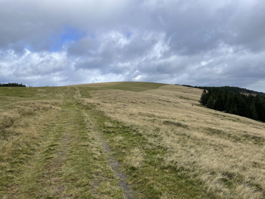
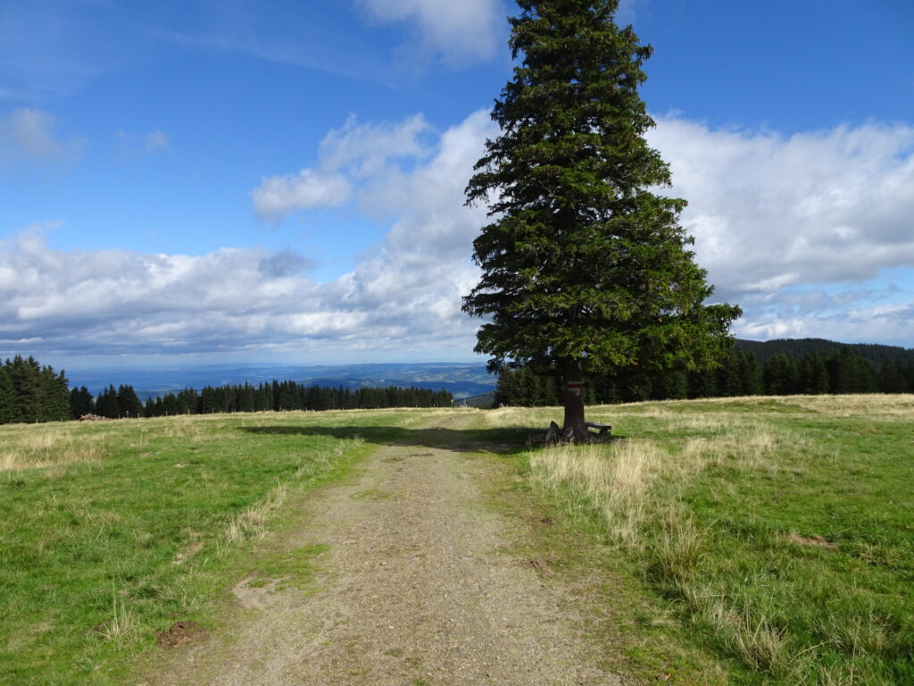
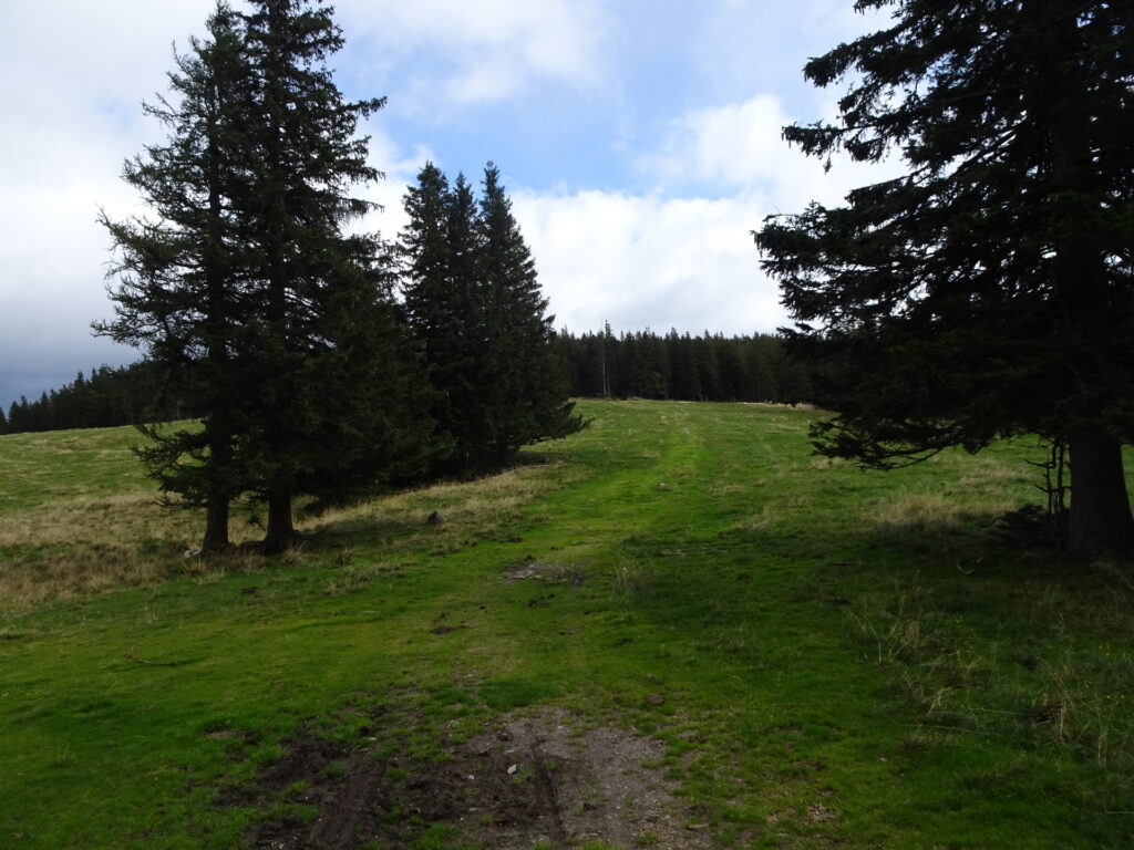
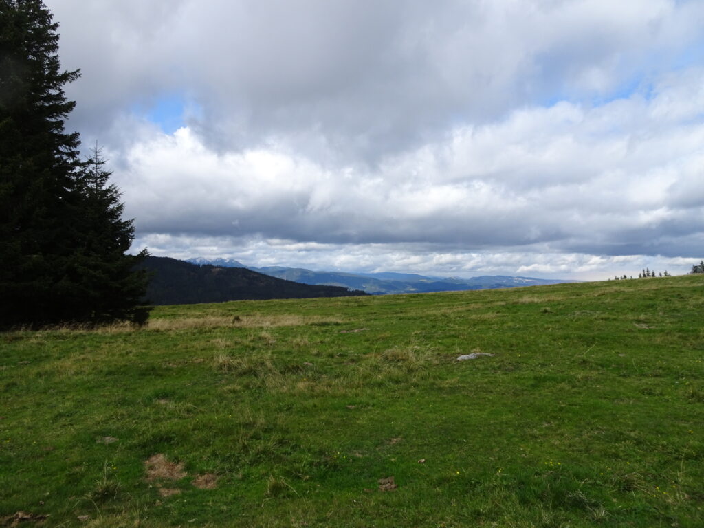
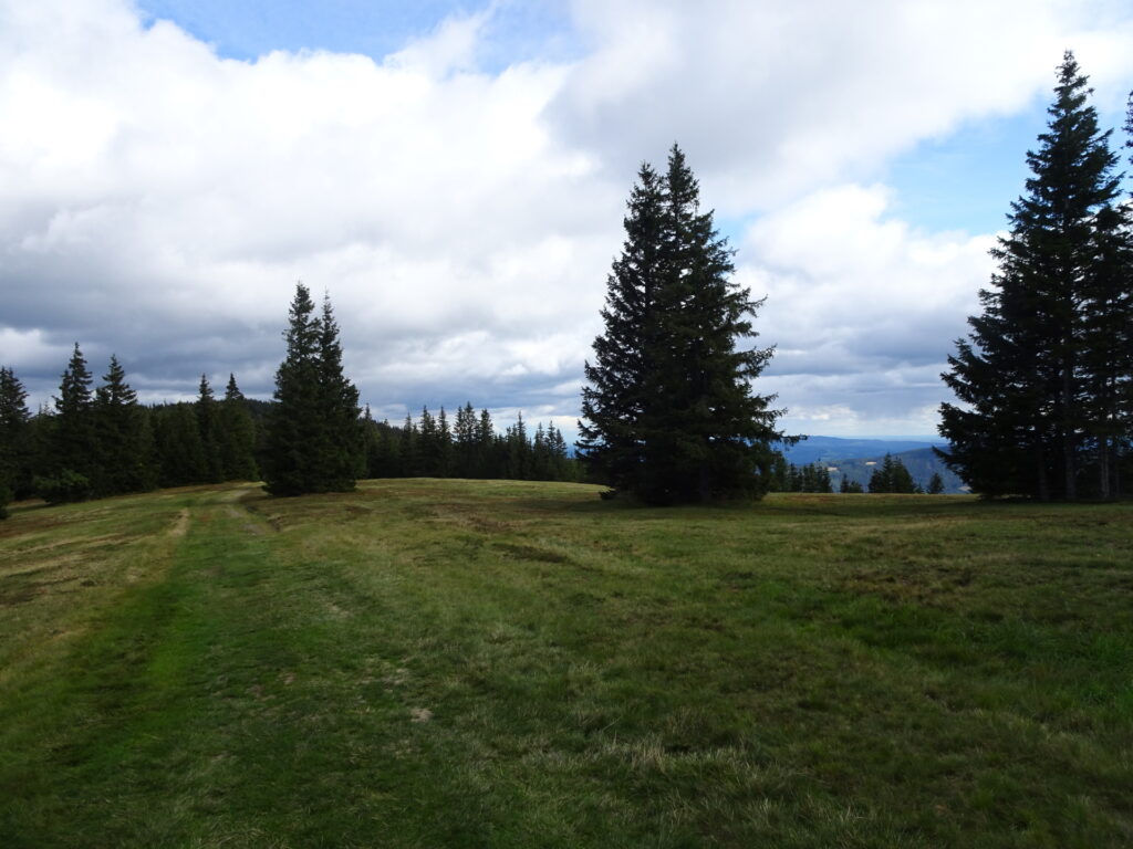
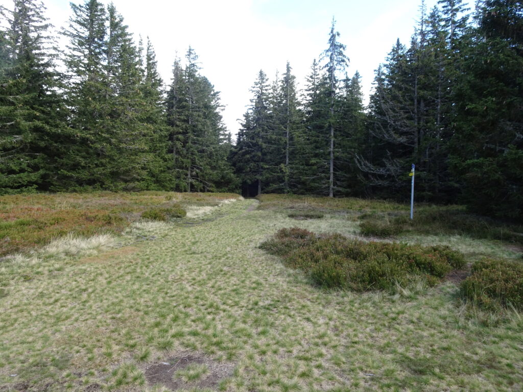
| 03:25 | At the crossing Dreiländereck, keep slightly right (straight) and follow the trail through the alpine pasture up to Arabichl. |
| 03:35 | At Arabichl, turn right and follow the marked trail eastwards. |
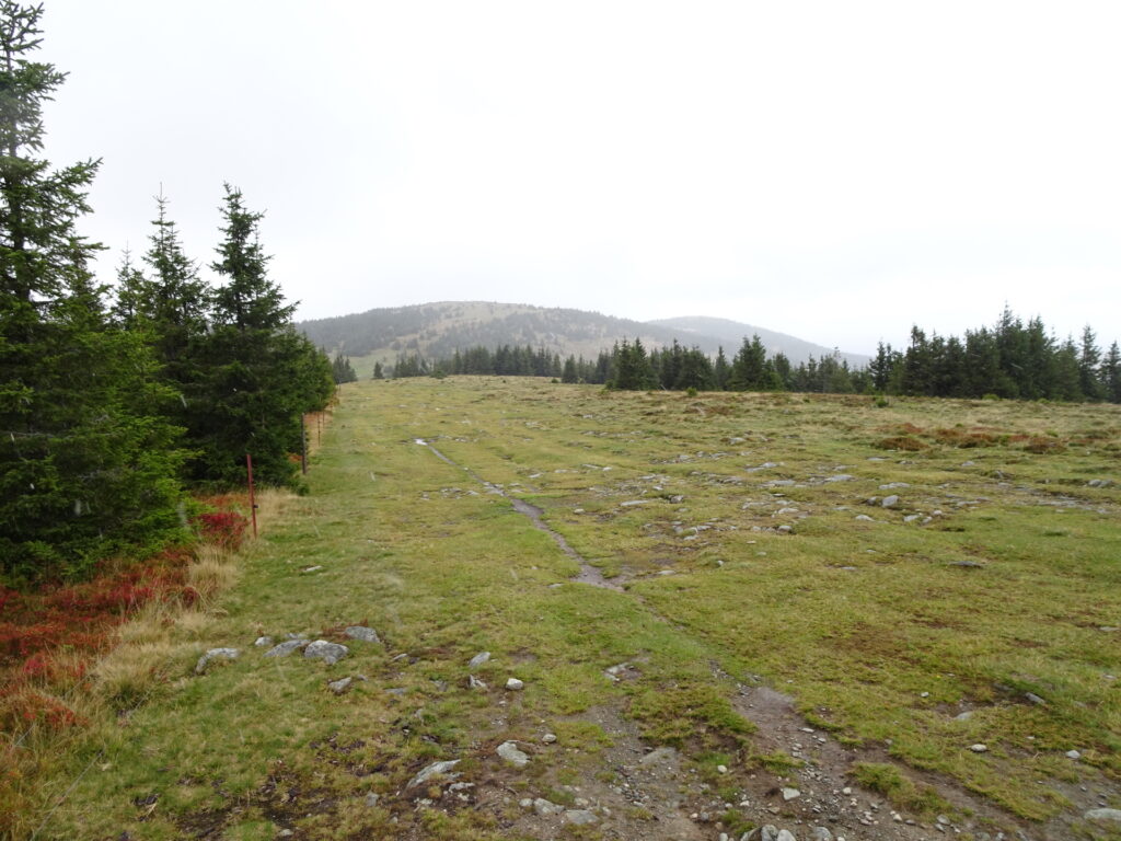
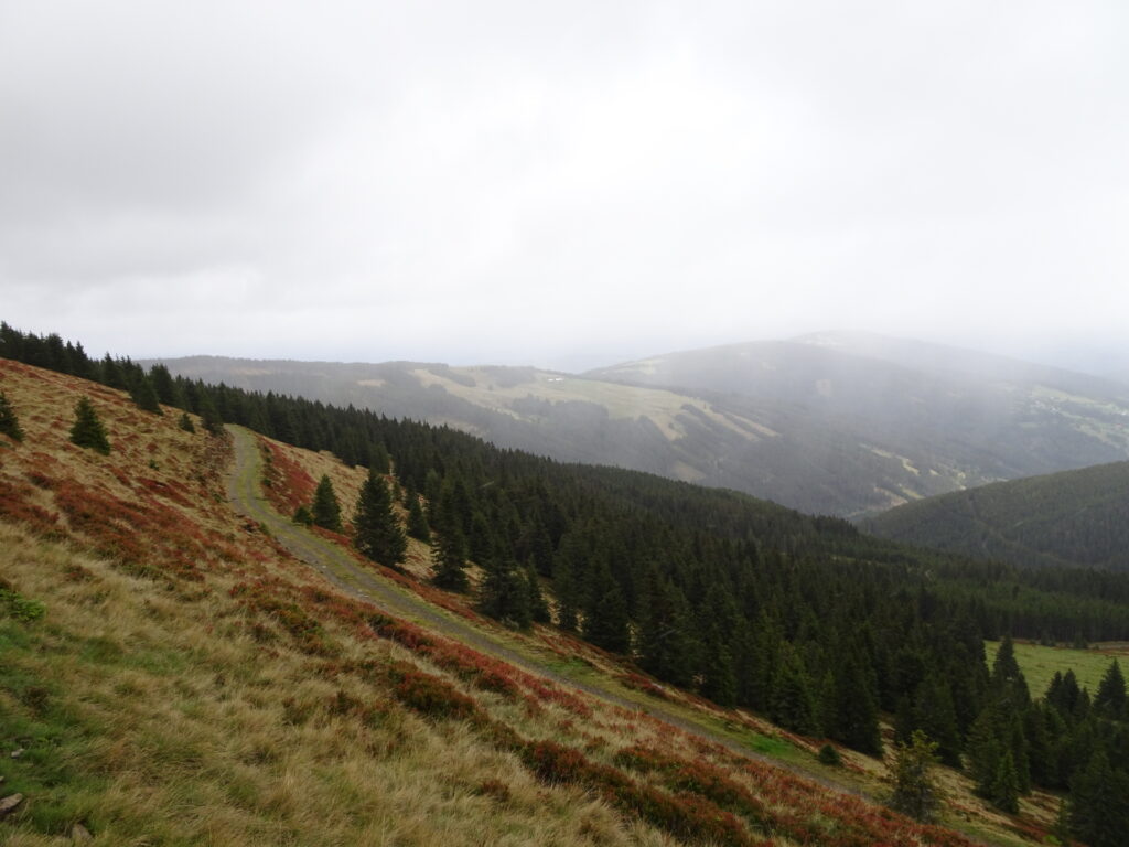
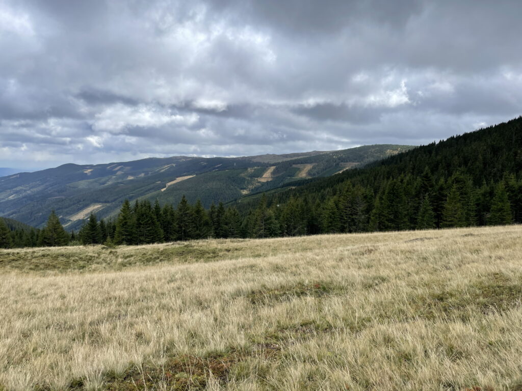
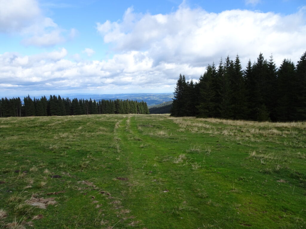
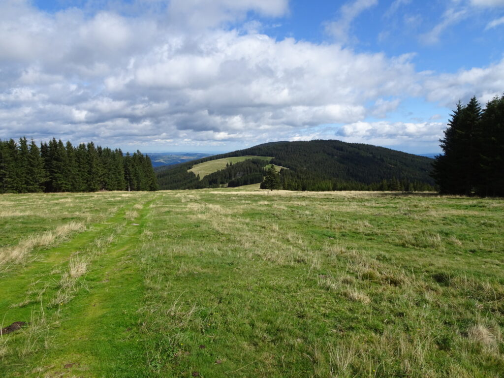
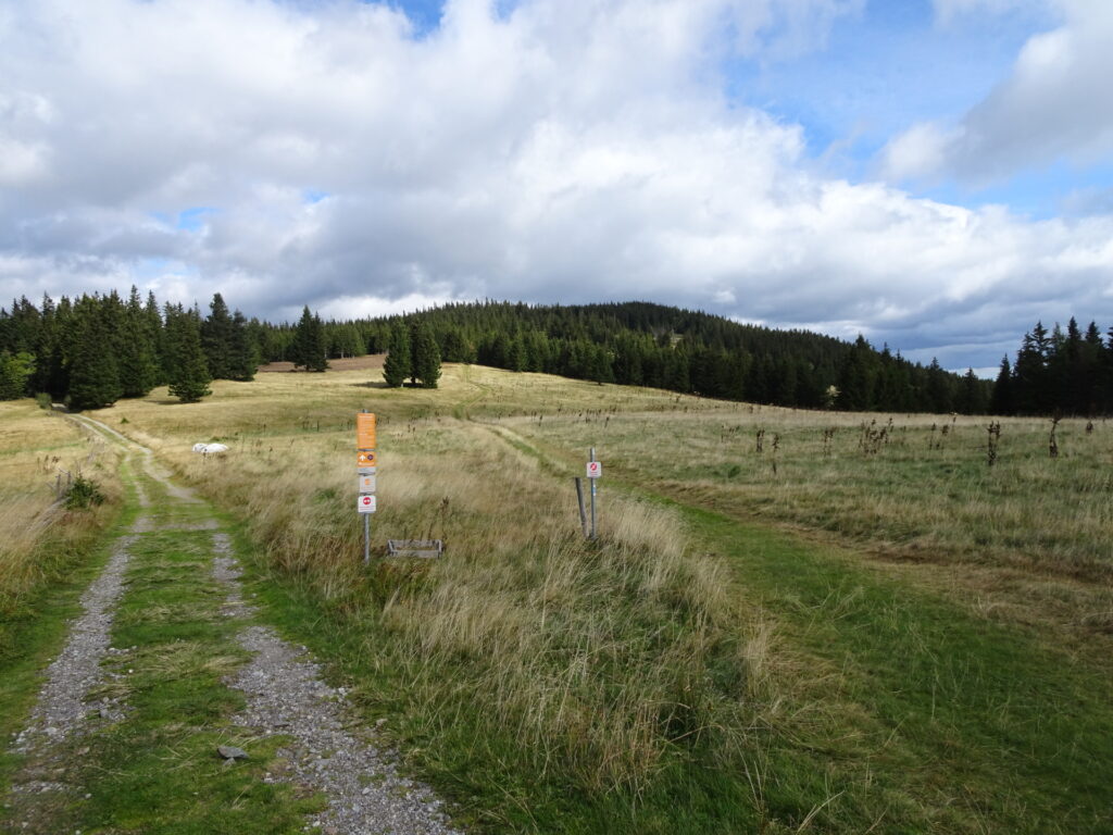
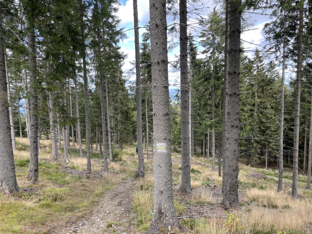
| 03:45 | At the crossing, keep straight ahead and continue following the red-white-red marked hiking trail towards Kampsteiner Schwaig. |
| 04:35 | At the Kampsteiner Schwaig, first turn left and then turn right again. Follow the blue marked trail towards the summit of Kampstein. |
| 04:45 | At Kampstein, continue following the marked trail which descends towards the Herrgottschnitzerhütte. |
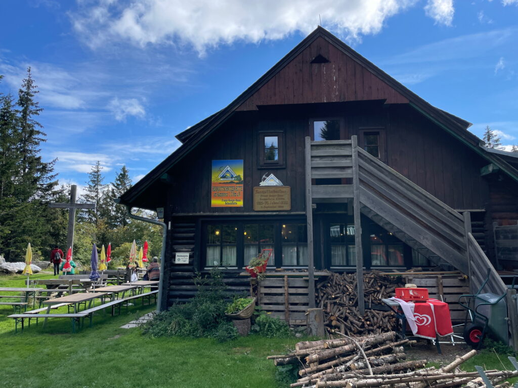
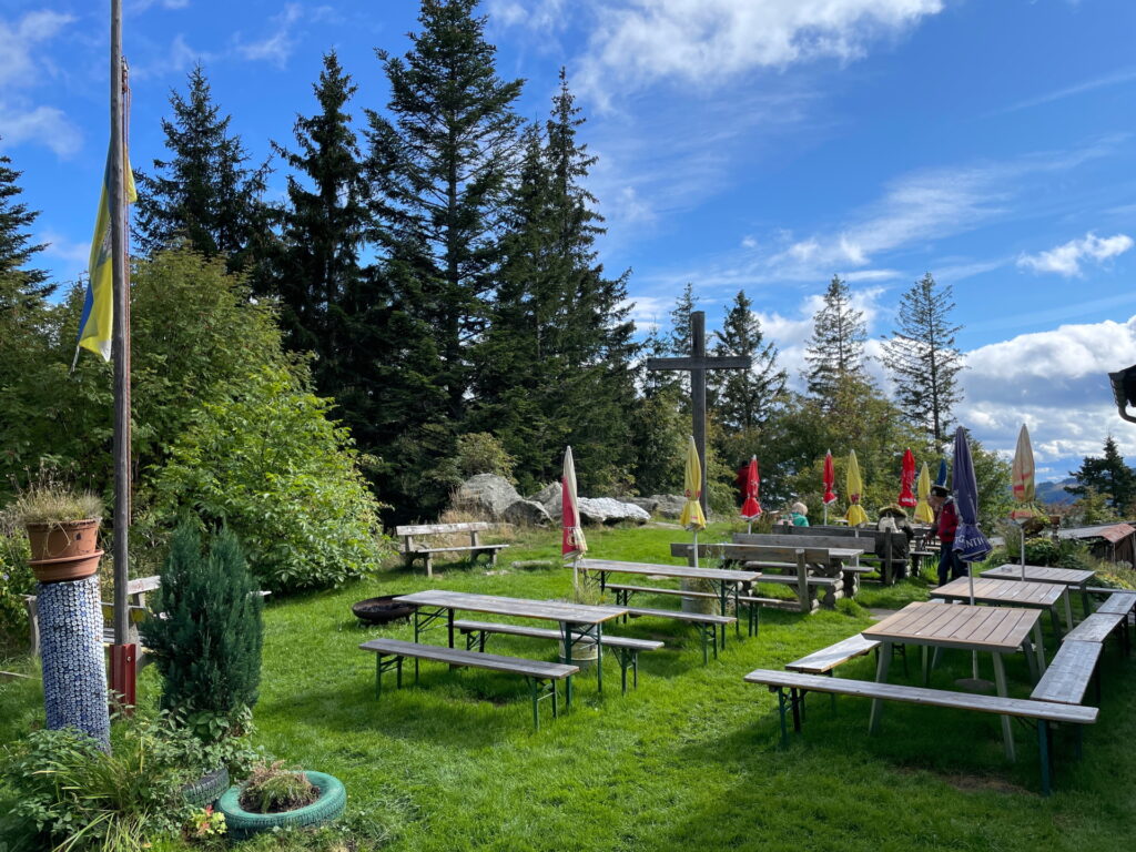
| 05:00 | Well deserved break () at Herrgottschnitzerhütte. |
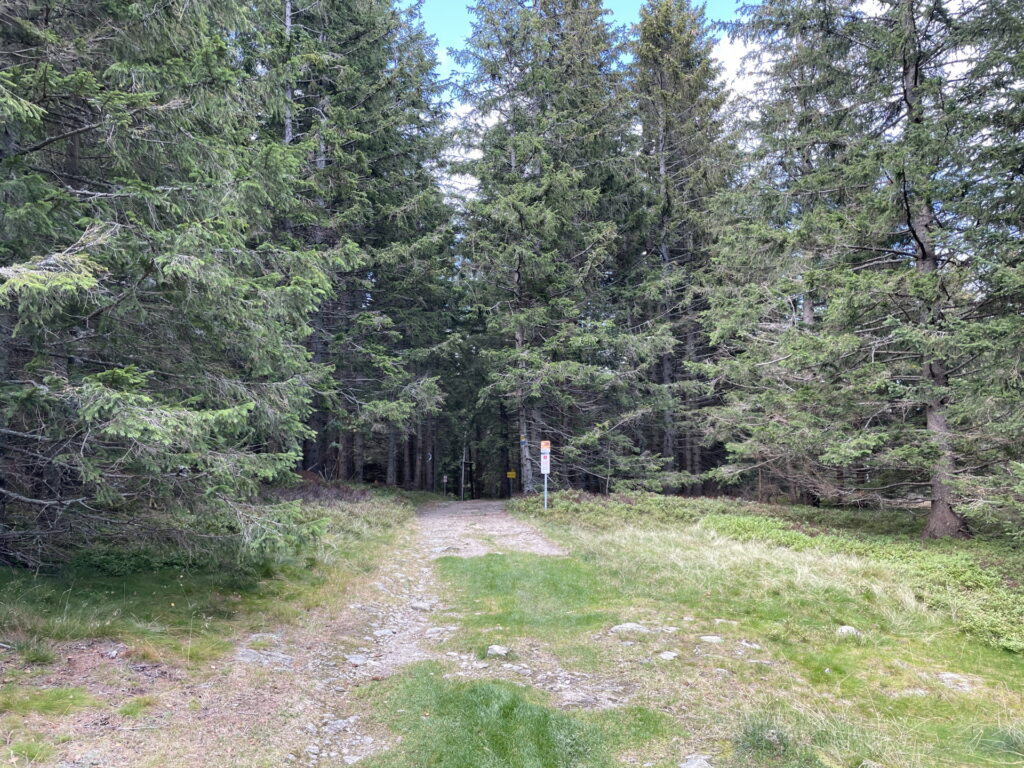
| 05:10 | Turn left and follow the yellow marked trail northwards which descends towards Sankt Corona. |
| 05:20 | At the crossing, turn right and follow the yellow marked trail downwards. |
| 05:30 | At the crossing (next to the ski slope), turn sharply left and follow the yellow marked trail downwards. |
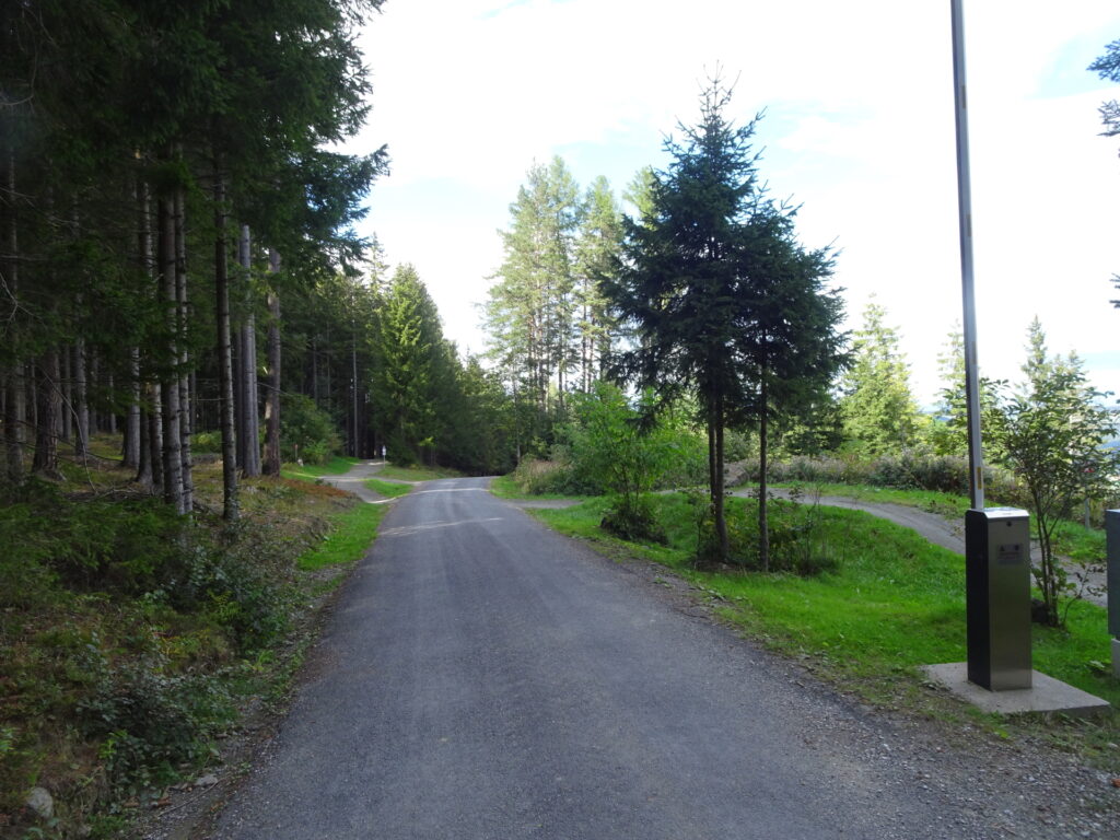
| 05:35 | Follow the street downwards towards the valley station of the bike lift, passing by the mountain bike trails and the parking. |
| 05:50 | Arrive at the bus station Sankt Corona / Erlebnisarena. End of the tour. |
At a glance
| Level | moderate |
| Technique | |
| Shape / Fitness | |
| Experience | |
| Scenery | |
| Best time in the year | |
|
Jan
Feb
Mar
Apr
May
Jun
Jul
Aug
Sep
Oct
Nov
Dec
|
|
General Tour Data
| Area: | Hochwechsel, Lower Austria/Styria, Austria | |
| Distance: | 24km | |
| Ascent: | 1119m (1h 50min) | |
| Descent: | 1102m (1h 20min) | |
| Highest Pt: | 1743m | |
| Lowest Pt: | 842m | |
| Duration: | 5h 05min (without breaks) 5h 50min (with breaks) |
|
| Stop/Rest: | Mönichkirchner Schwaig (1230m) Wetterkoglerhaus (1743m) Herrgottschnitzerhütte (1319m) Gasthof Orthof (1011m) |
|
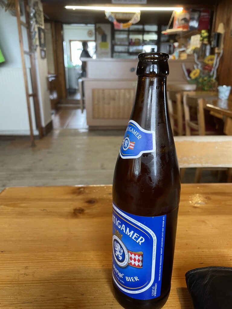
| Equipment: | Hiking shoes Backpack with standard hiking equipment Snacks and water 1x Gipfelbier () Sun & Weather protection Camera |
| Download GPX | ||
| O | Tour at outdooractive.com |




















Leave a Reply