
Scenic tour up the Kieneck via the Ramsental and then continue hiking up to Unterberg
The tour starts at the parking Ramsental / Thal (GPS: 47.939170, 15.872641) and first follows the forest road northwards through the Ramsental up towards the Bettelmannkreuz. At this crossing, the tour first turns right and follows the hiking trail up to Kieneck and the Enzianhütte. After a well-deserved break at the Enzianhütte with its amazing scenic view, the tour leads back to the Bettelmannkreuz and then continues following the trail further towards Unterberg. Before reaching the ski area, the tour leaves the marked route and follows a visible trail which turns then later into the ski slope up to the top of Unterberg. After enjoying the view from there, the tour descends directly using the steep ski slope towards the Maria Einsiedl church (visible from the summit) and the Unterberg Schutzhaus. The tour then follows an easy and marked trail back to the parking via the Miralucke, an iconic cave that is easily reachable from the trail. The tour then follows the trail and street back to the parking.
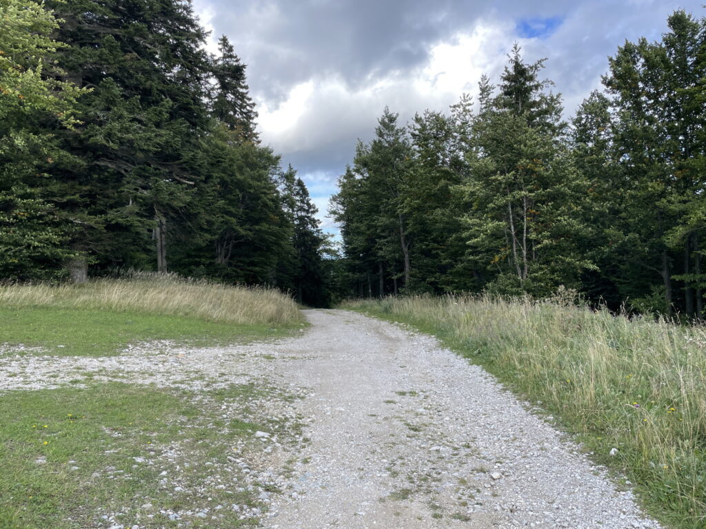
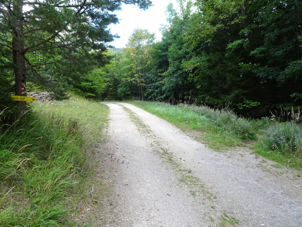
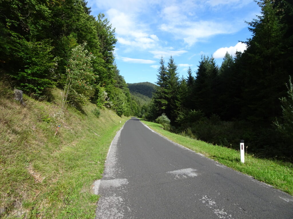
| 00:00 | Start at the parking Ramsental / Thal (GPS: 47.939170, 15.872641) and first follow the (white-green-white marked) forest road northwards towards Bettelmannkreuz / Kieneck (see signposts). |
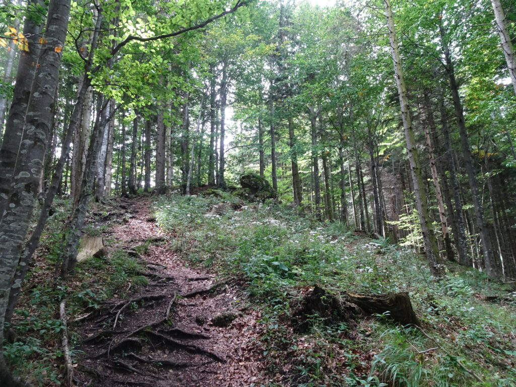
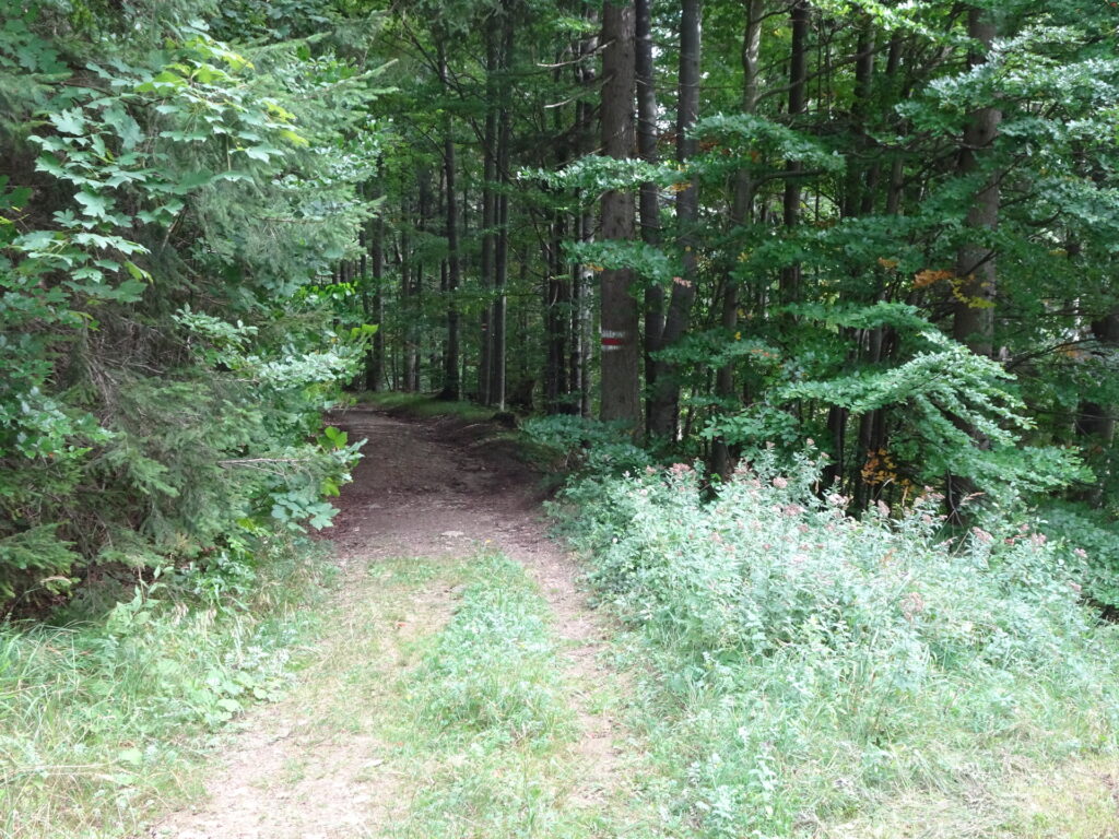
| 00:10 | At the crossing, turn left into the marked trail and leave the forest road. |
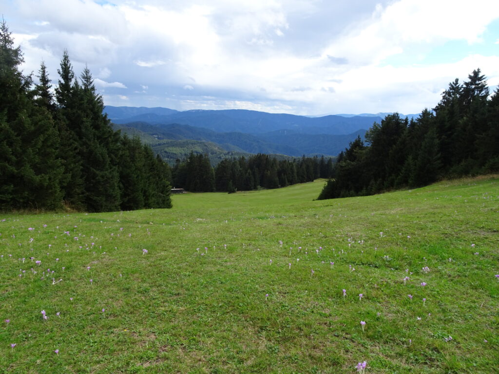
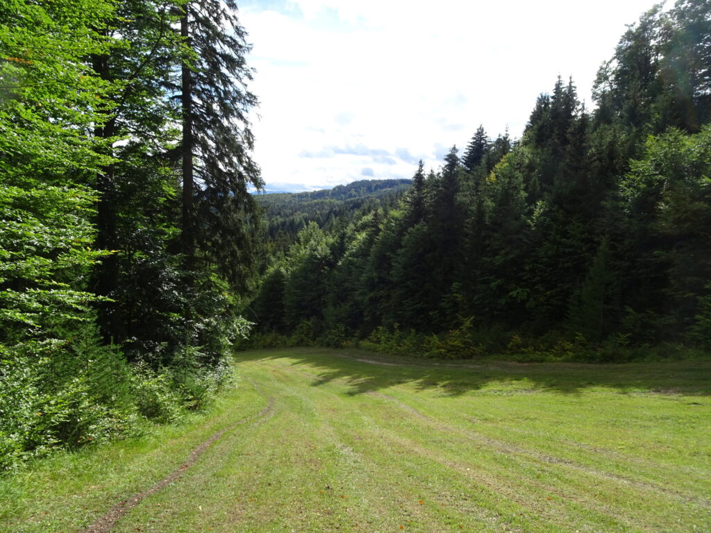
| 00:30 | At the clearing, keep straight and continue following the white-green-white marked trail. |
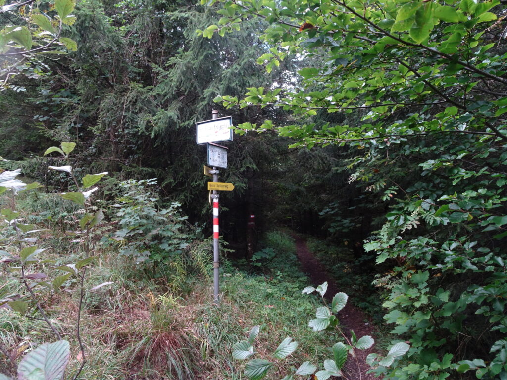
| 00:40 | At the crossing Bettelmannkreuz, turn right and follow the red-white-red marked trail towards Kieneck / Enzianhütte (see signposts). |
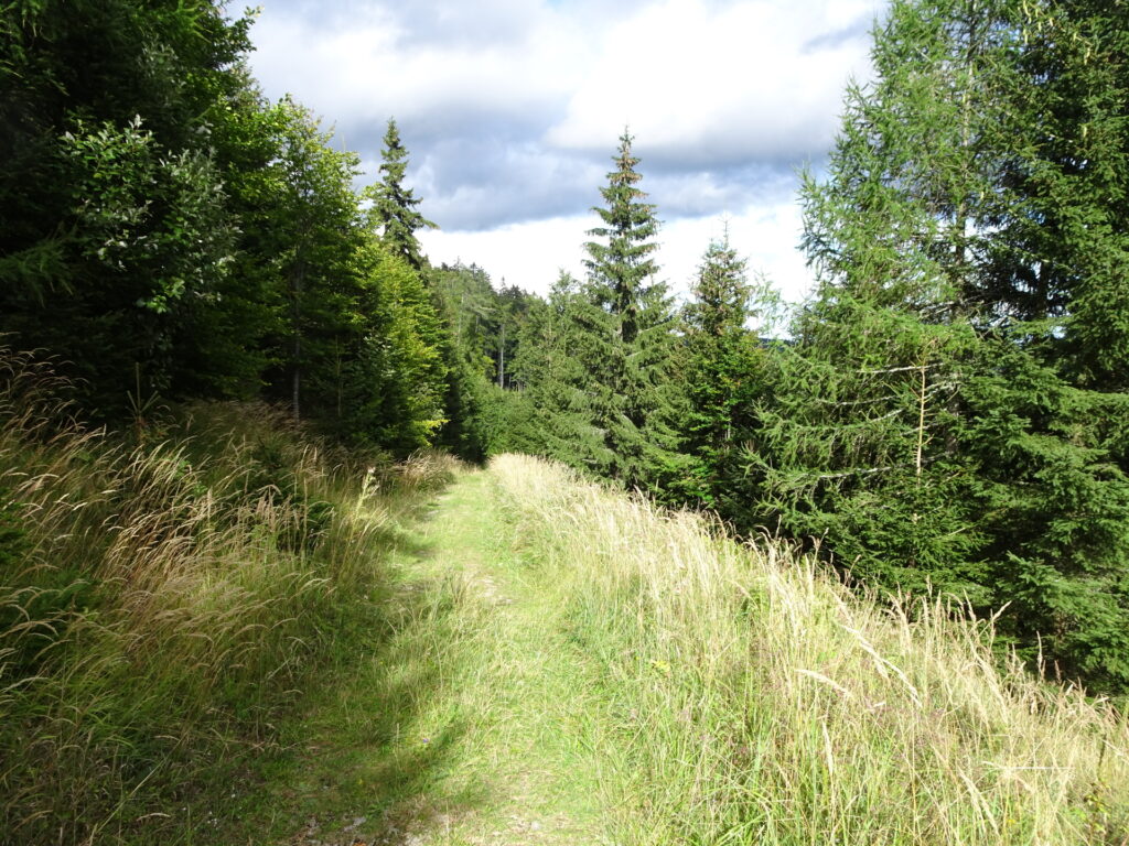
| 00:55 | At the crossing, keep straight (slightly right) and follow the marked forest road up to Kieneck. |
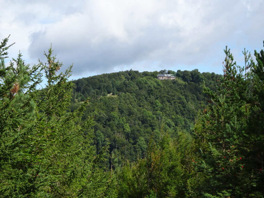
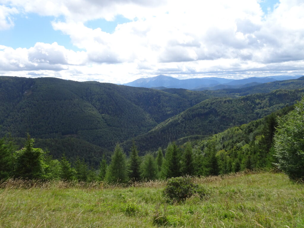
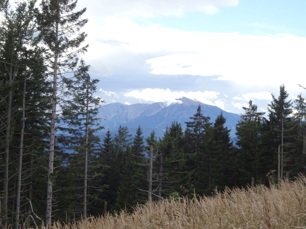
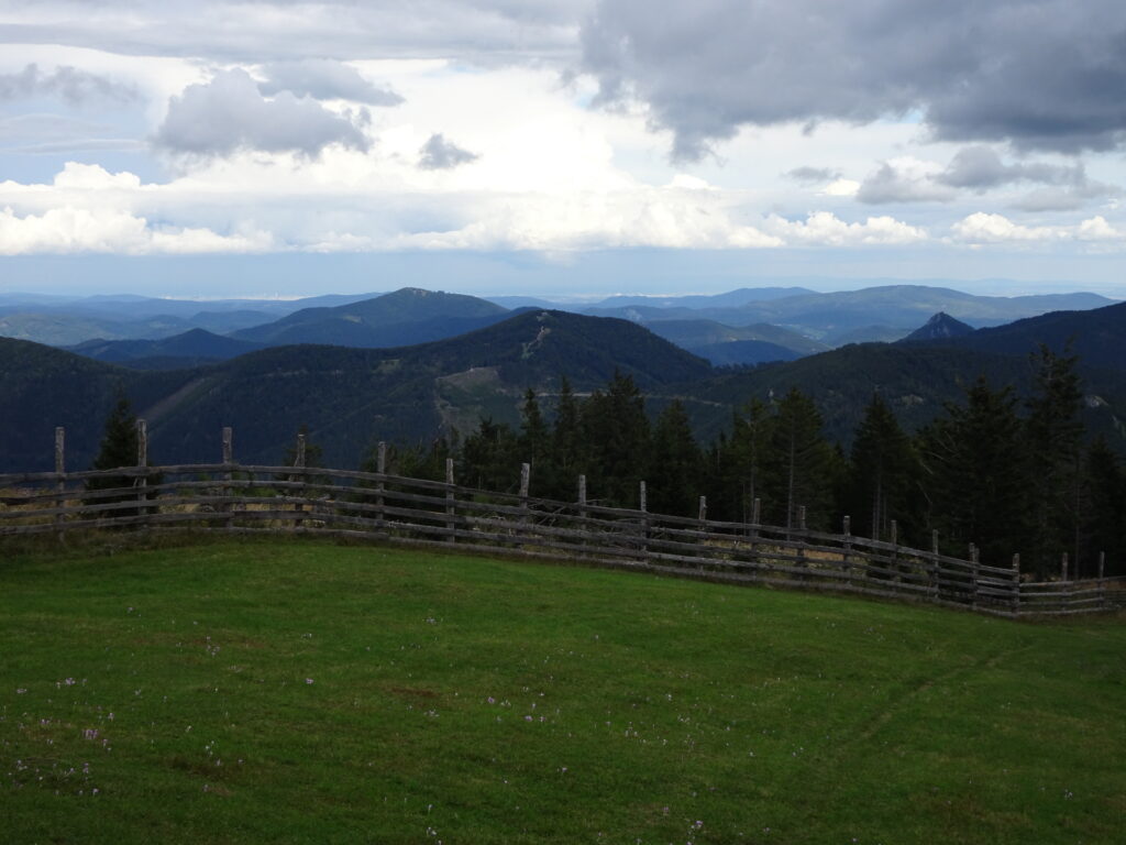
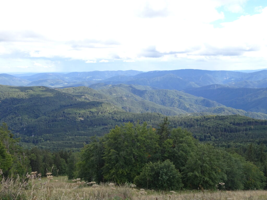
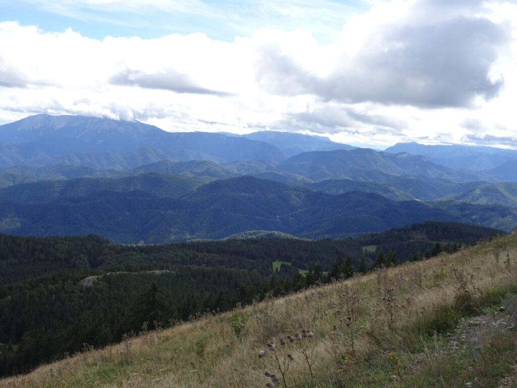
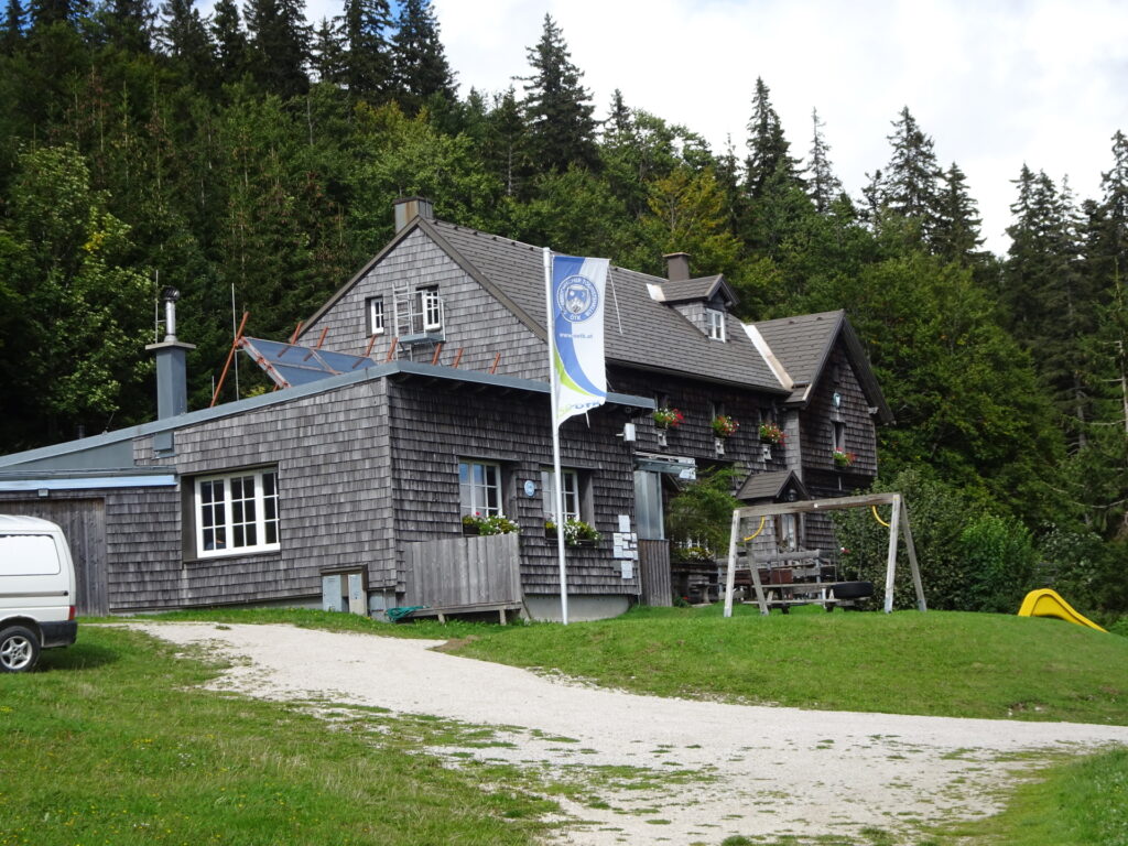
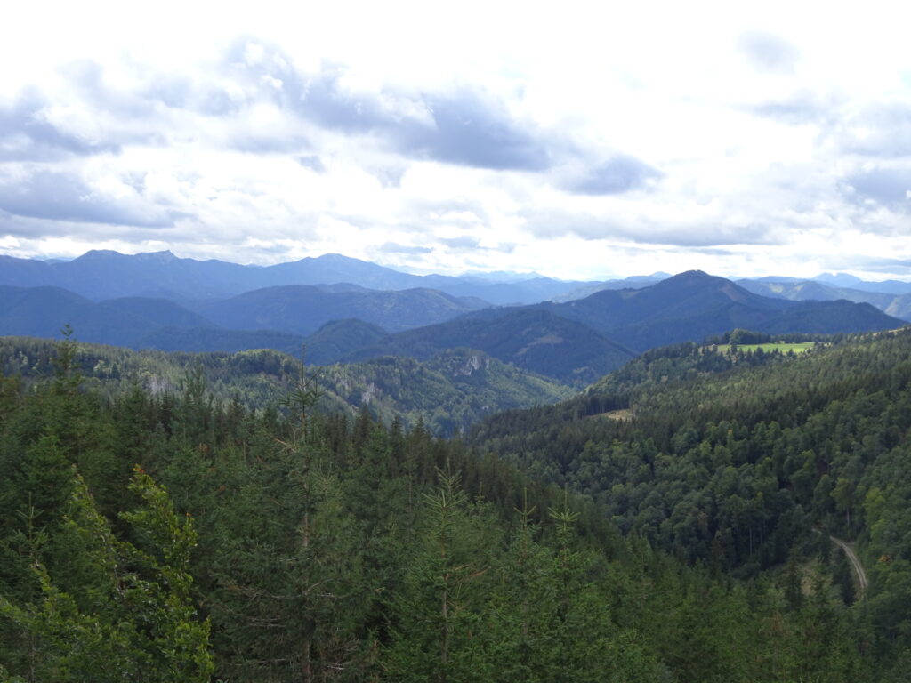
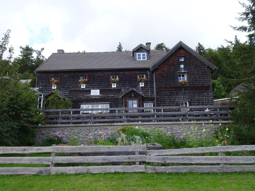
| 01:10 | Well deserved break ( ) at the Enzianhütte.Enjoy the awesome scenic view from its terrace! |
| 01:25 | Follow the same trail to the Bettelmannkreuz as used for the ascent. |
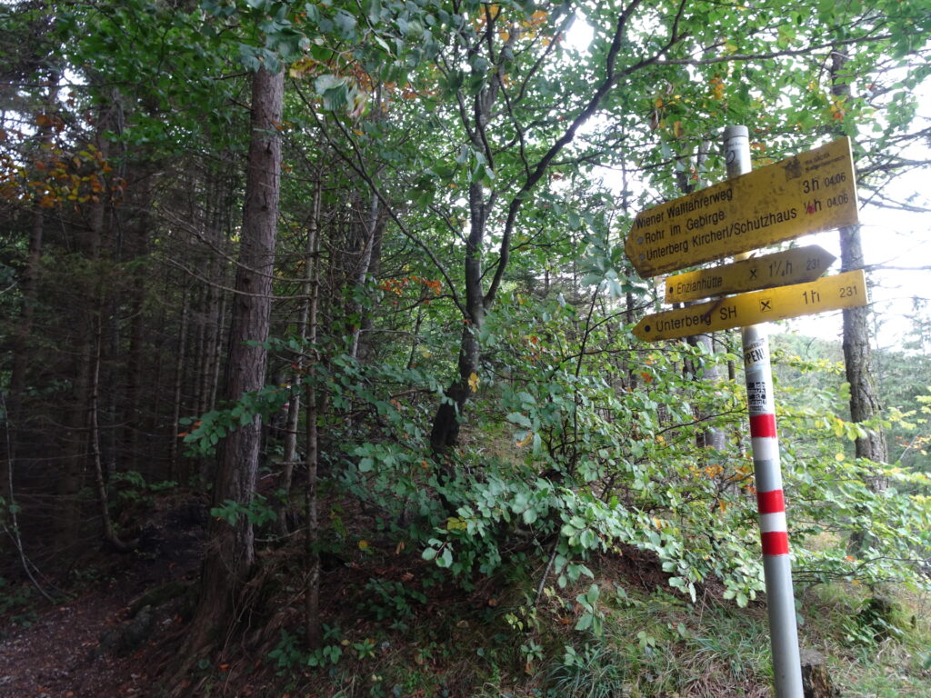
| 01:55 | At the Bettelmannkreuz, stay straight ahead and continue following the red-white-red marked trail towards Unterberg (see signposts). |
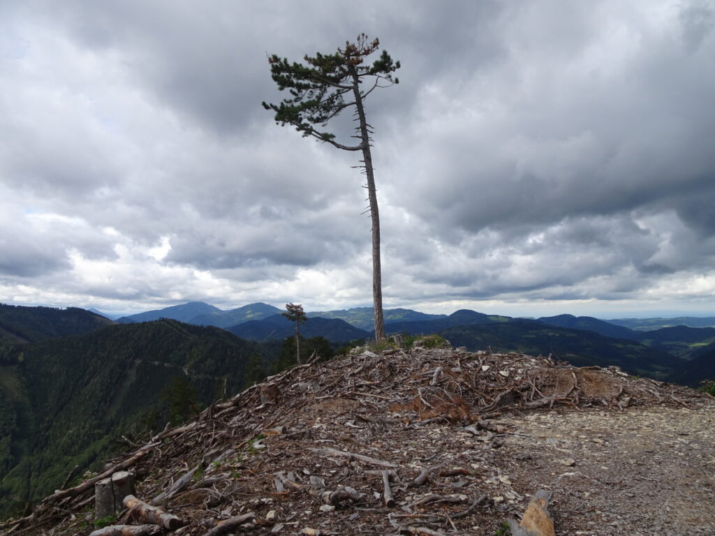
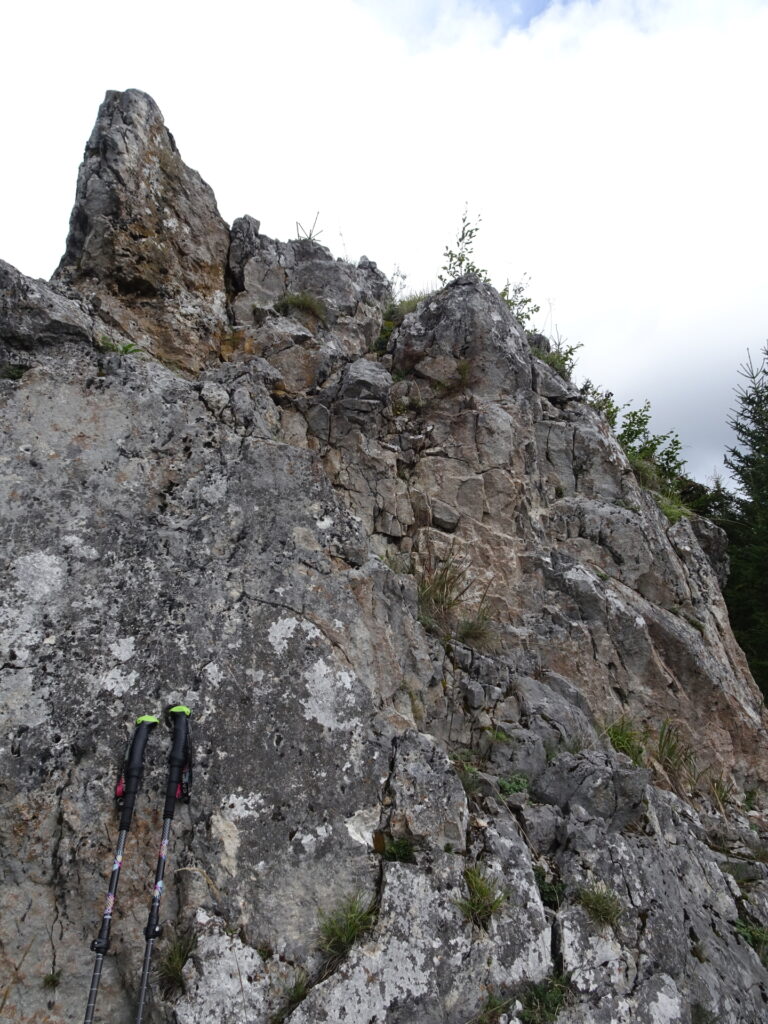
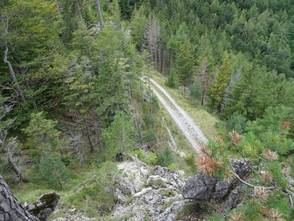
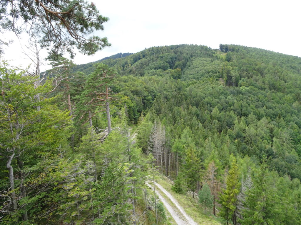
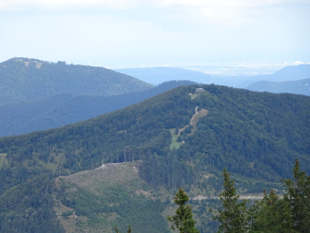
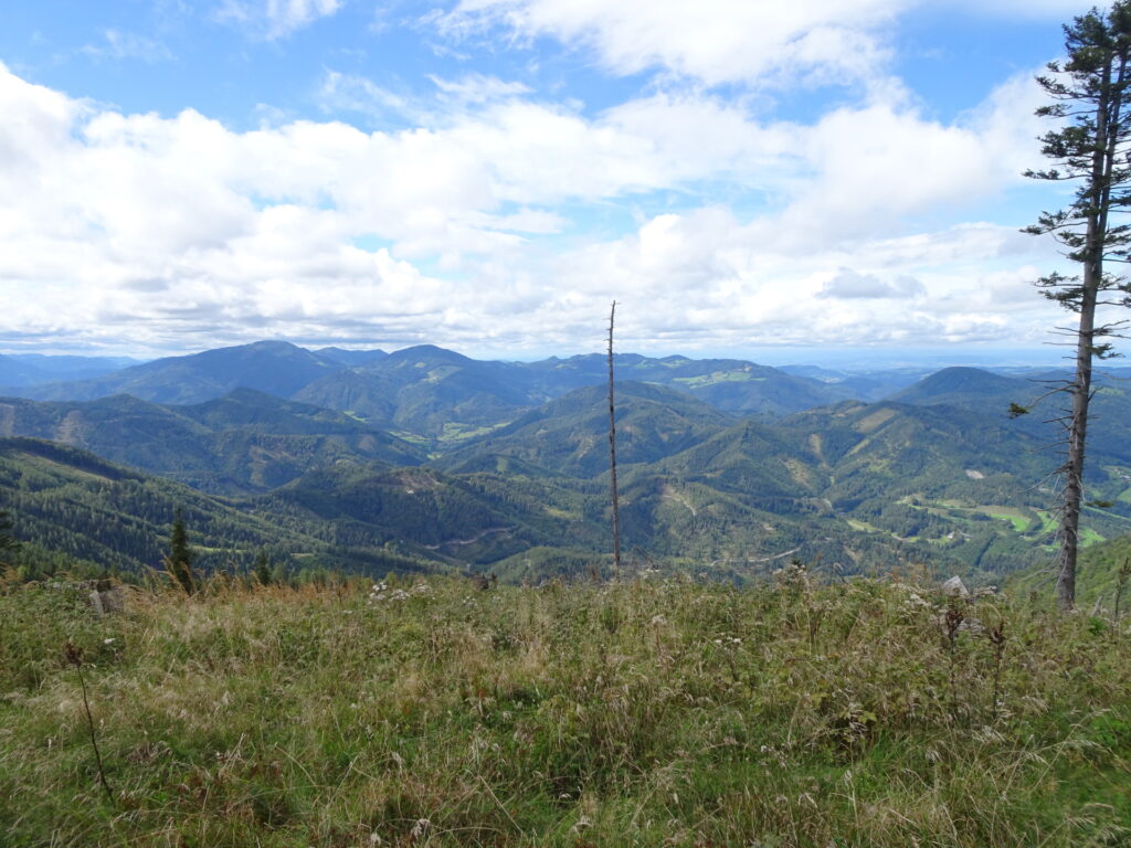
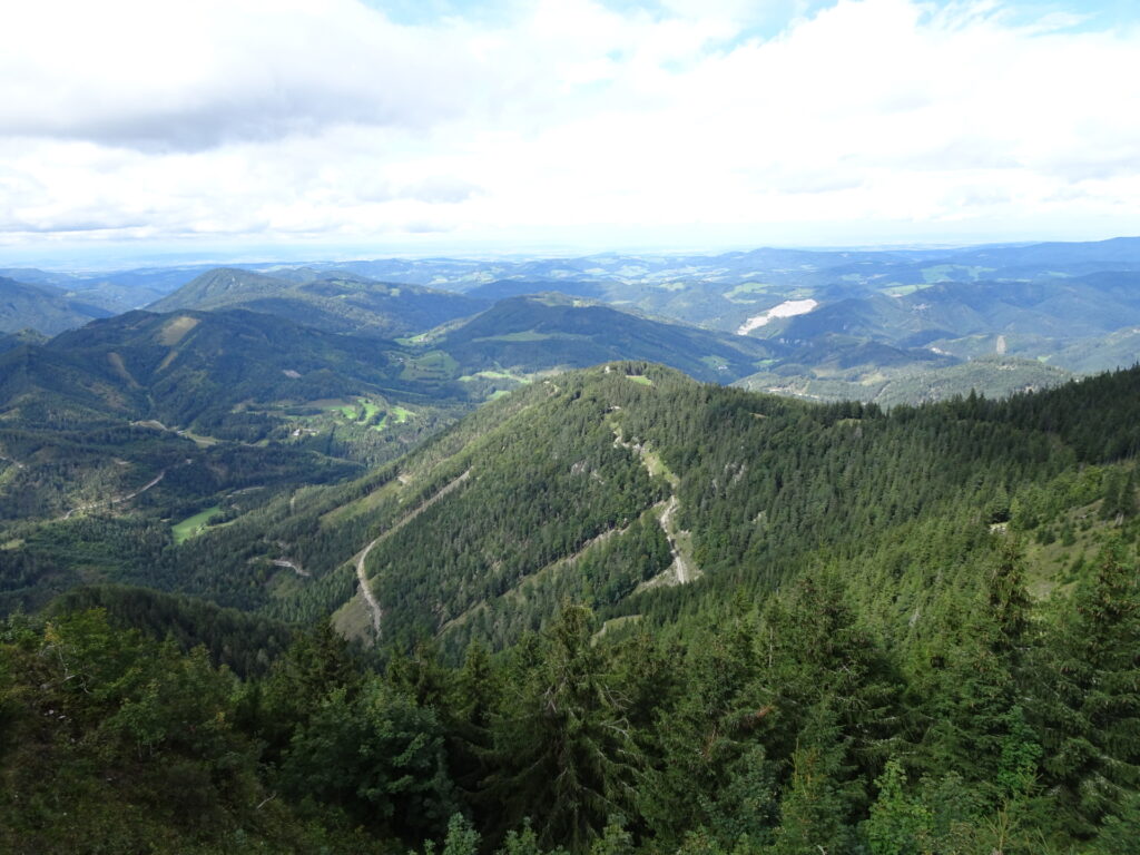
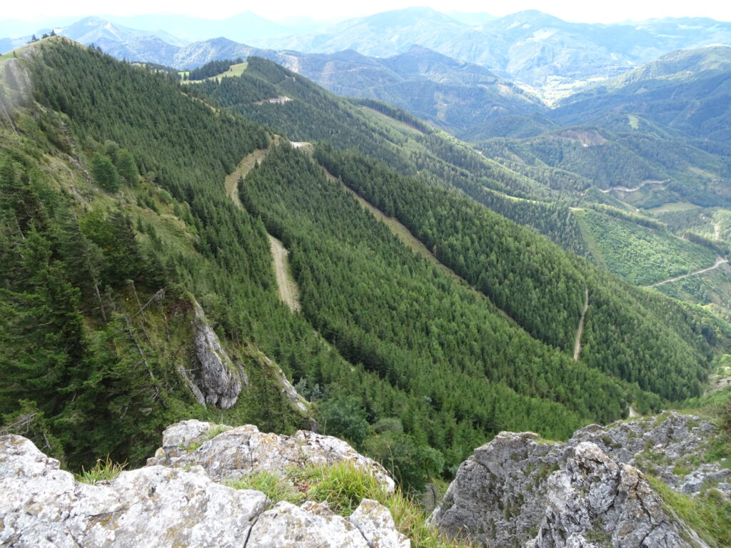
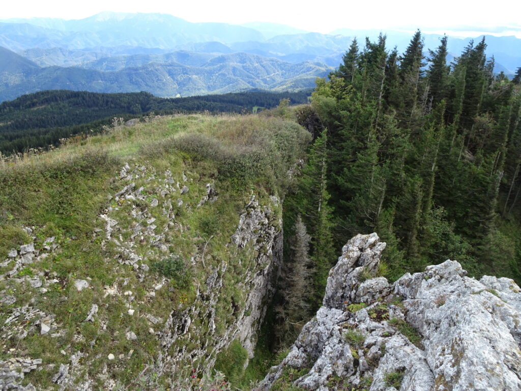
| 02:10 | Optional detour: Turn sharp left and follow the small trail up to Kirchwaldberg. Enjoy the amazing view (best with a self-brought ) and potentially some of the boulder rocks. |
| 02:20 | Hike back and continue following the trail towards Unterberg. |
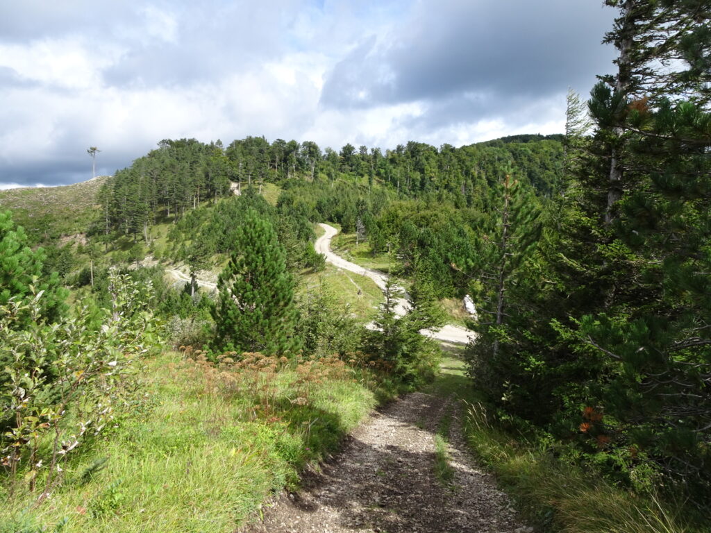
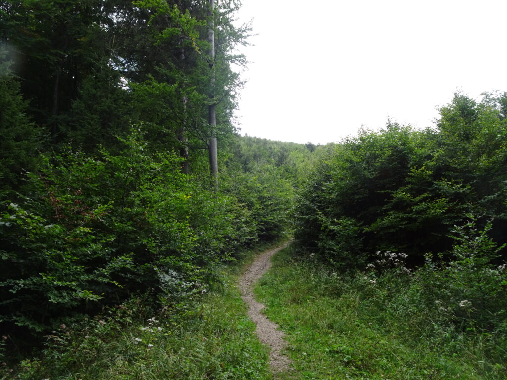
| 02:40 | Keep straight and continue following the trail next to the forest road towards Unterberg. |
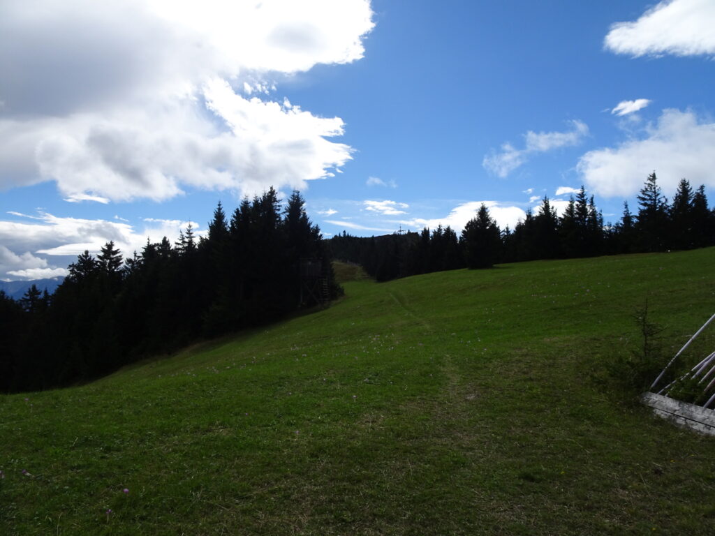
| 02:55 | At the crossing, turn right and leave the marked trail. This path will bring you up directly to the top of Unterberg without the steep ascent via the ski slopes. |
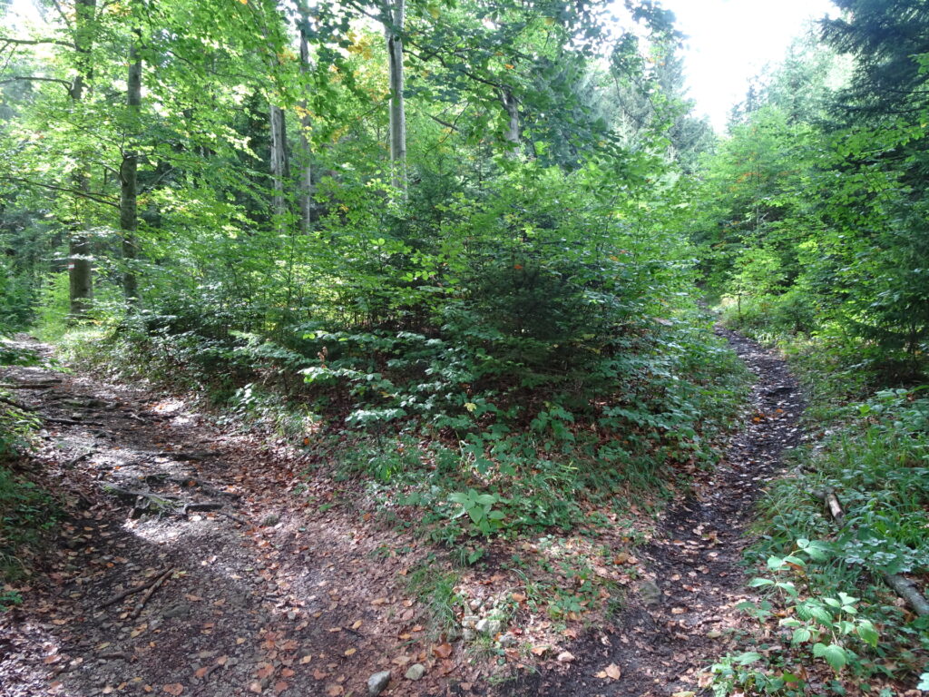
| 03:00 | At the crossing, keep left and continue following the trail. |
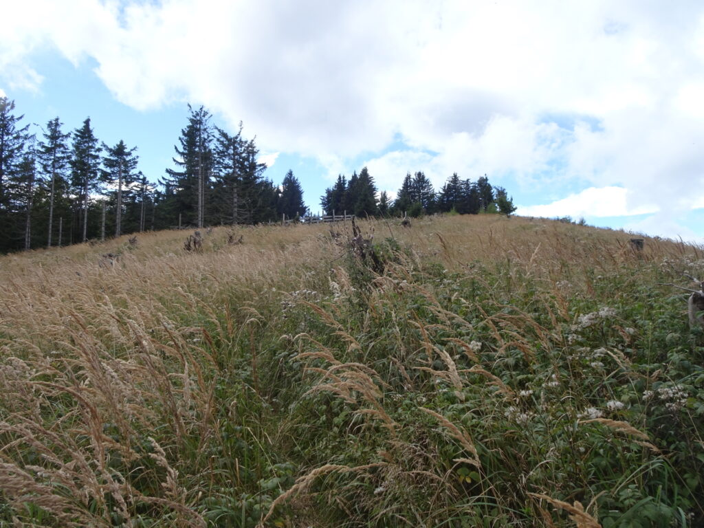
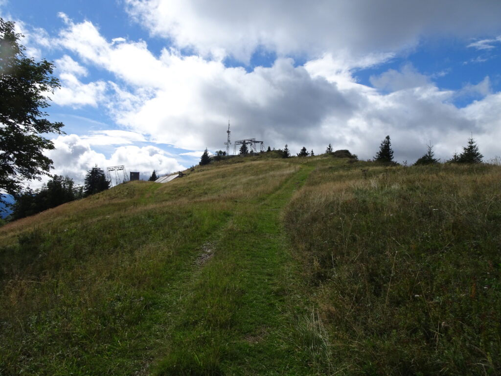
| 03:15 | Turn right and follow the ski slope up to the summit. |
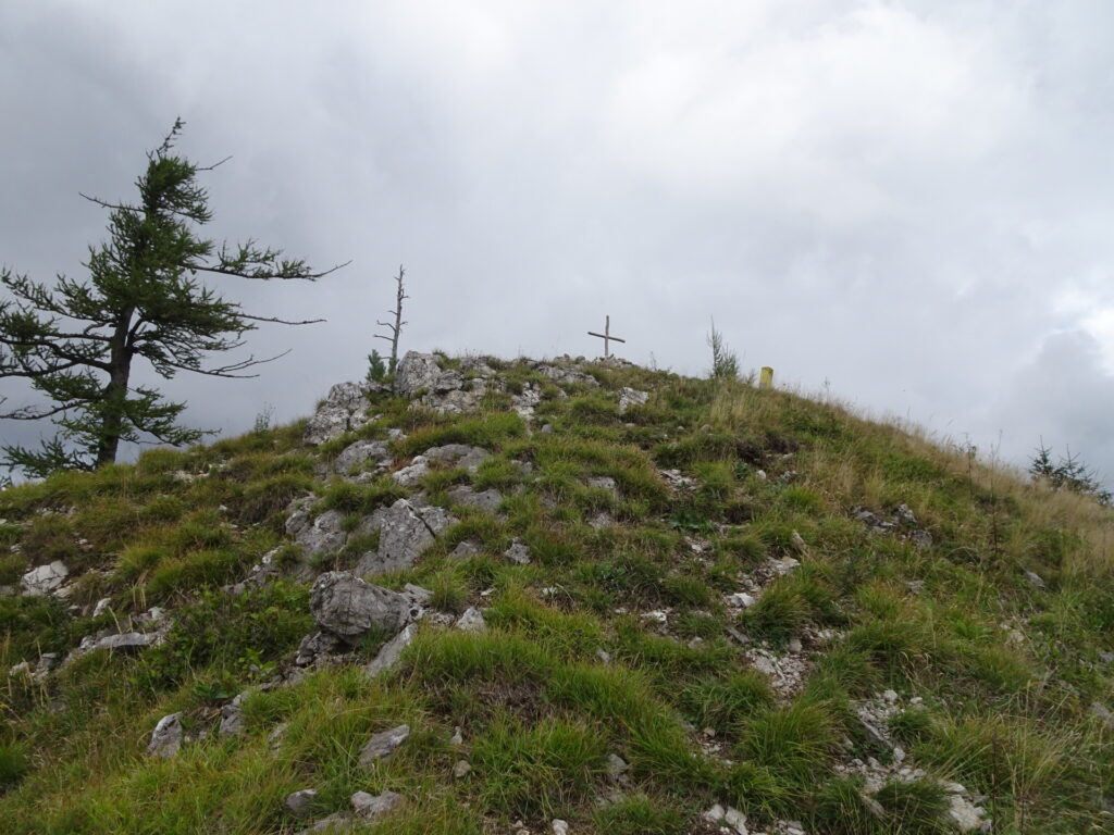
| 03:30 | At the mountain station of the ski lift, follow the small trail on the right hand-side along the ridge that leads further towards the summit cross (the cross is not yet visible here!). |
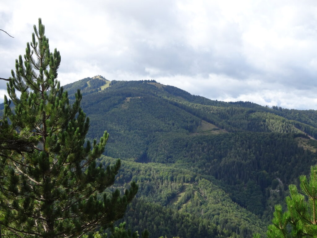
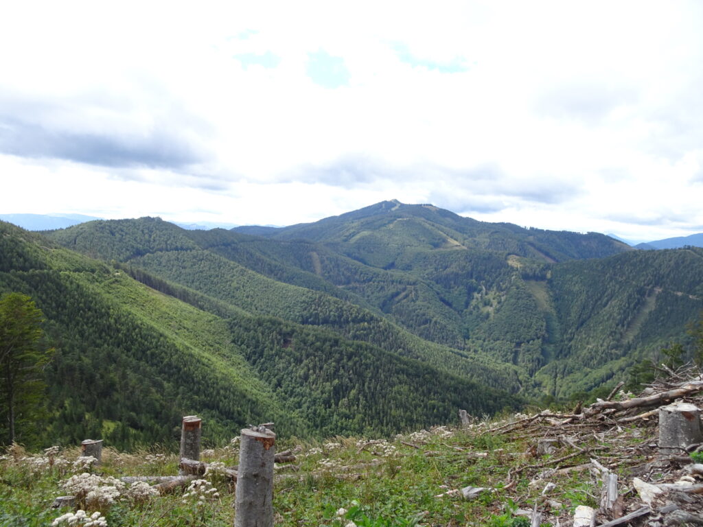
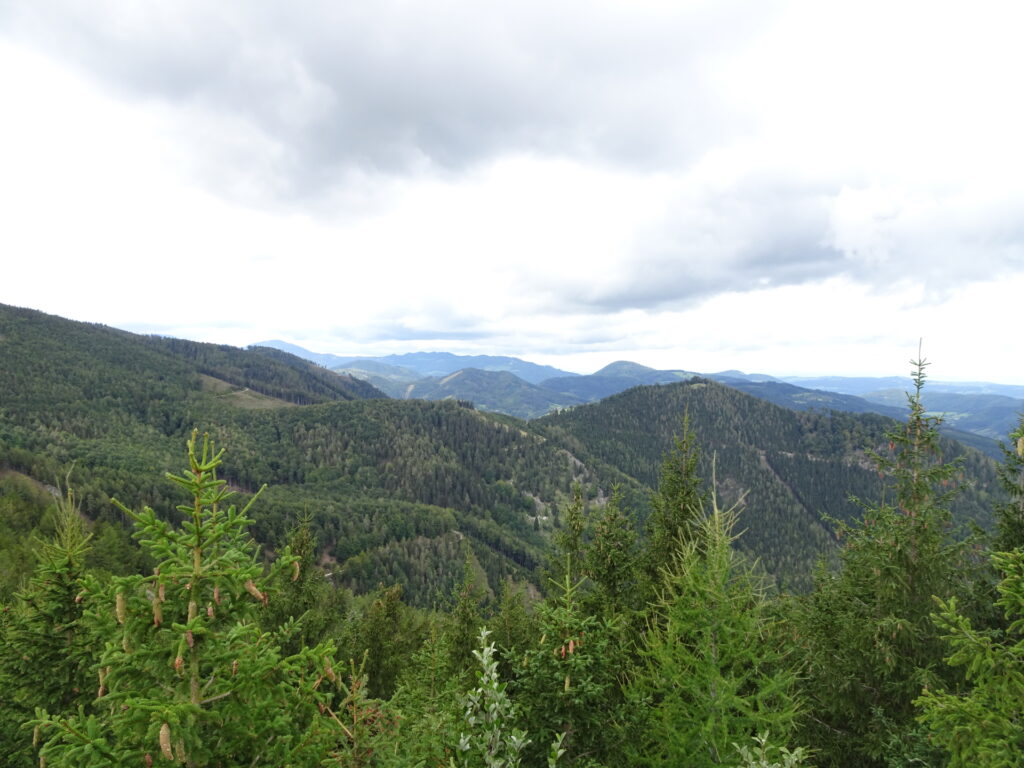
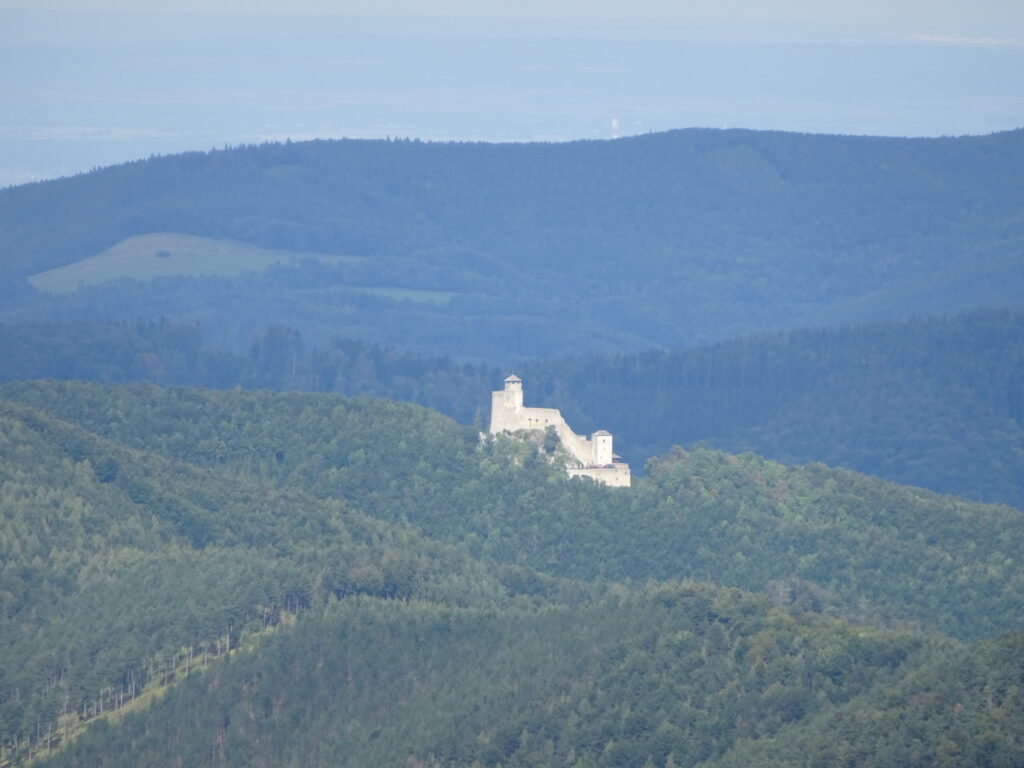
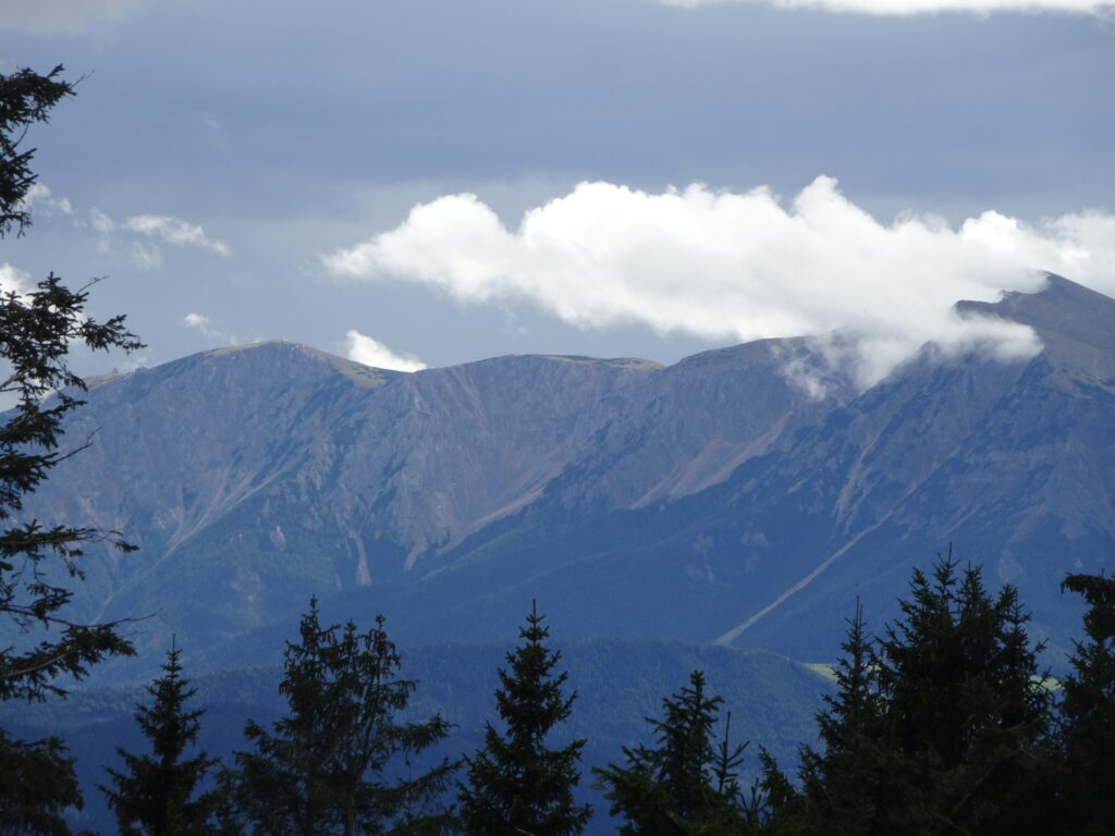
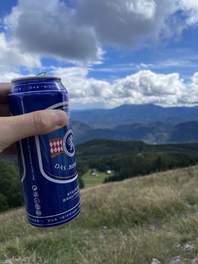
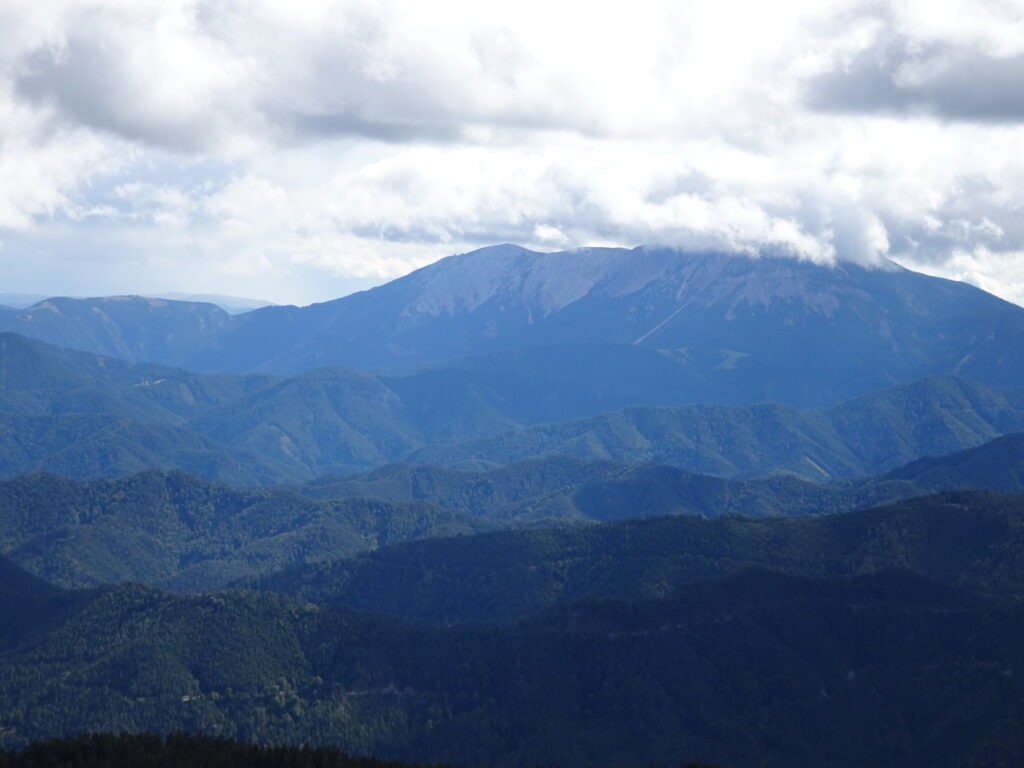
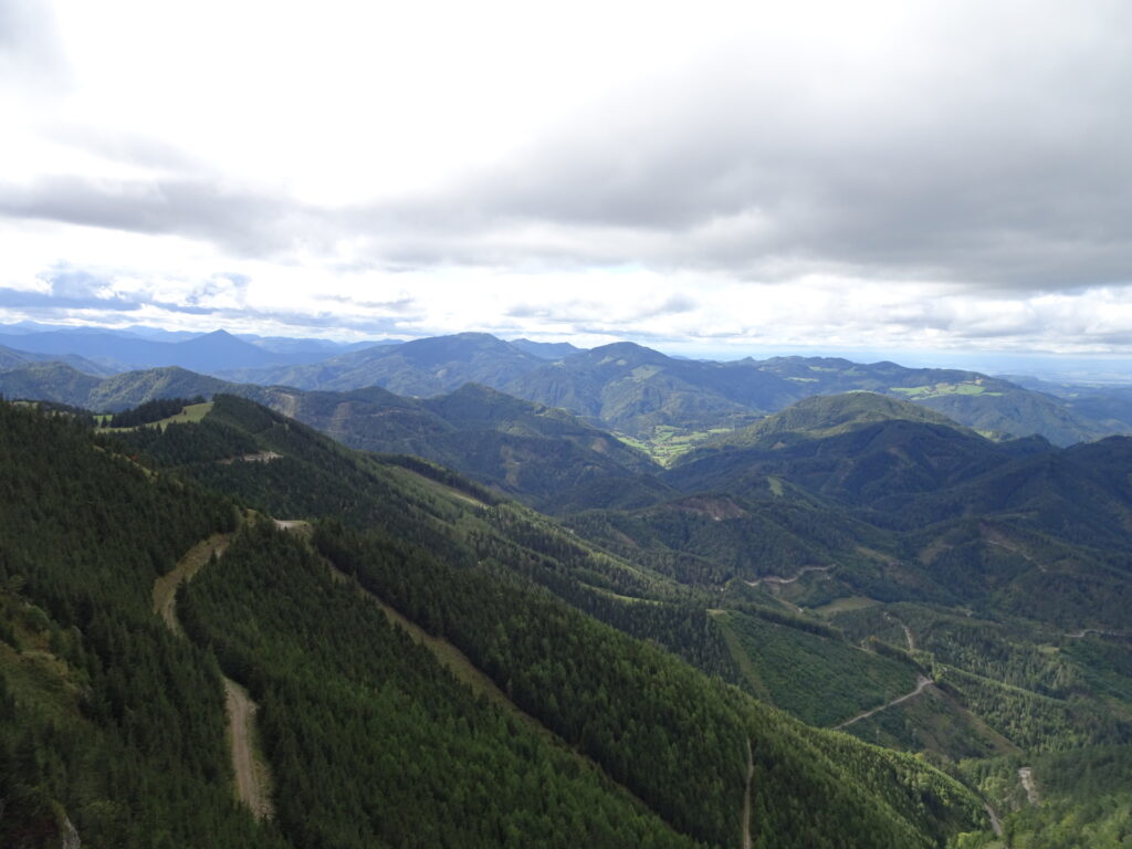
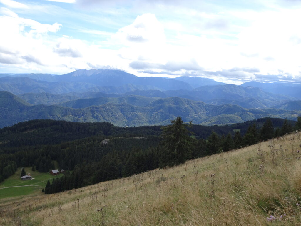
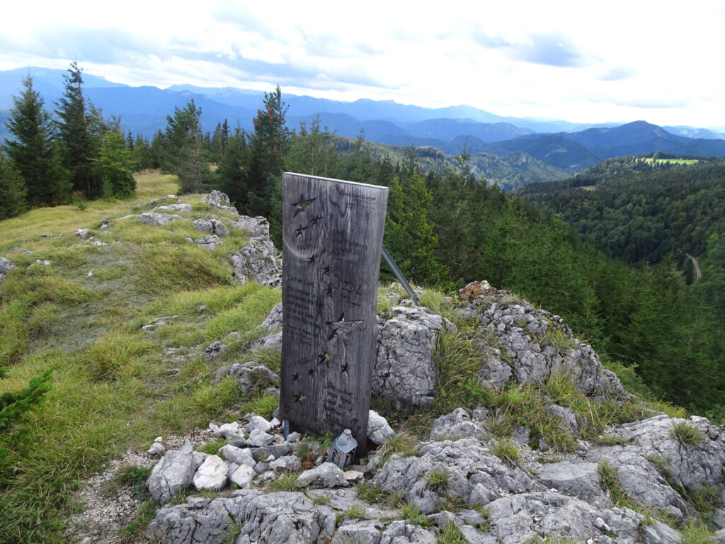
| 03:35 | Enjoy the amazing view from the summit of Unterberg. Best enjoyed with a self-brought refreshment (). |
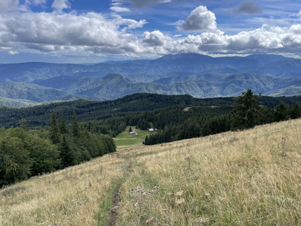
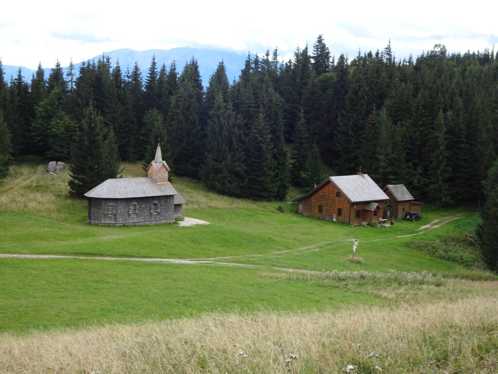
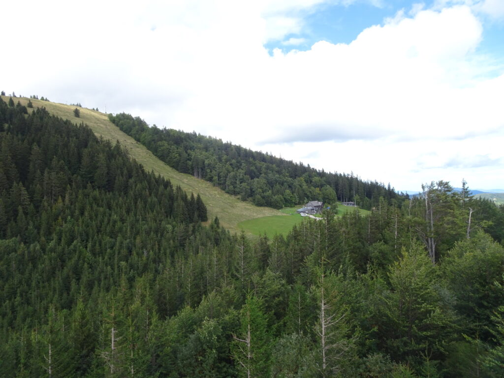
| 03:50 | Descend via the (steep) ski slope directly towards the visible church (Maria Einsiedl). |
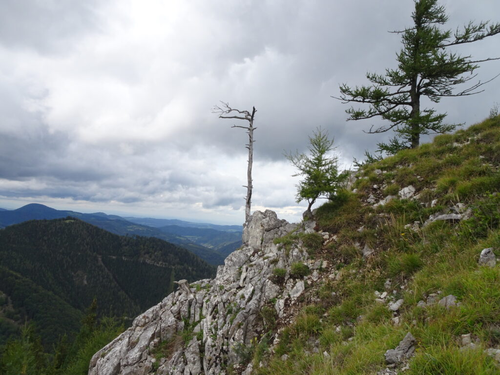
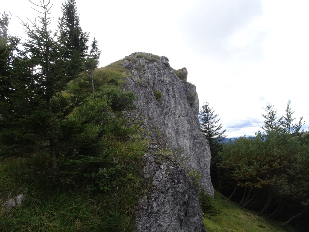
| 04:00* | Optional detour: Follow the path behind the church but keep slightly right before entering the forest. This small trail will lead up towards a nice rock that provides yet another amazing view. |
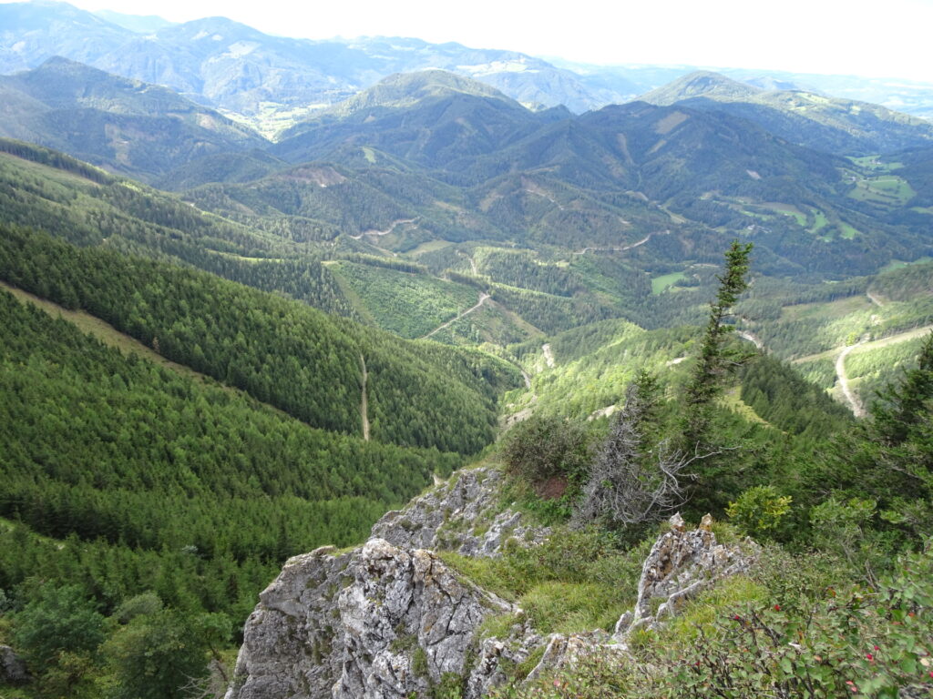
| 04:05* | Enjoy the view from the top of the rock towards Unterberg and the rest of the Gutensteiner Alps. Then head back to the church and the Unterberg Schutzhütte. |
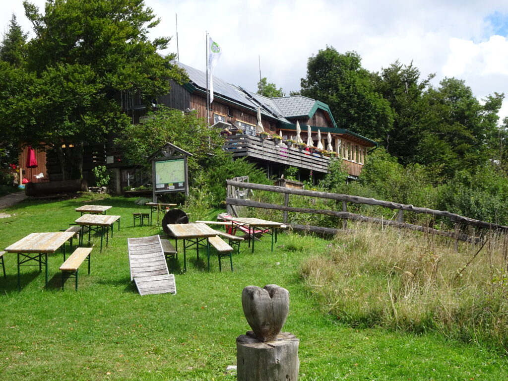
| 04:20 | Refresh yourself ( ) at the Unterberg Schutzhütte. |
| 04:50 | Follow the white-red-white marked trail (first a forest road, then a ski slope, then a hiking trail) towards Miralucke (see signposts). |
| 04:55 | Keep right and follow the white-red-white marked trail downwards along the ski slope. |
| 05:00 | Keep left and follow the white-red-white marked trail. |
| 05:05 | At the clearing, turn right and follow the ski slope downwards. |
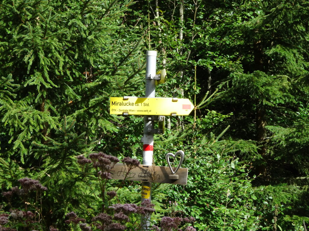
| 05:10 | Turn left (leave the ski slope) and follow the white-red-white marked trail towards Miralucke. |
| 05:20 | Turn right (leave the forest road) and follow the white-red-white marked trail towards Miralucke. |
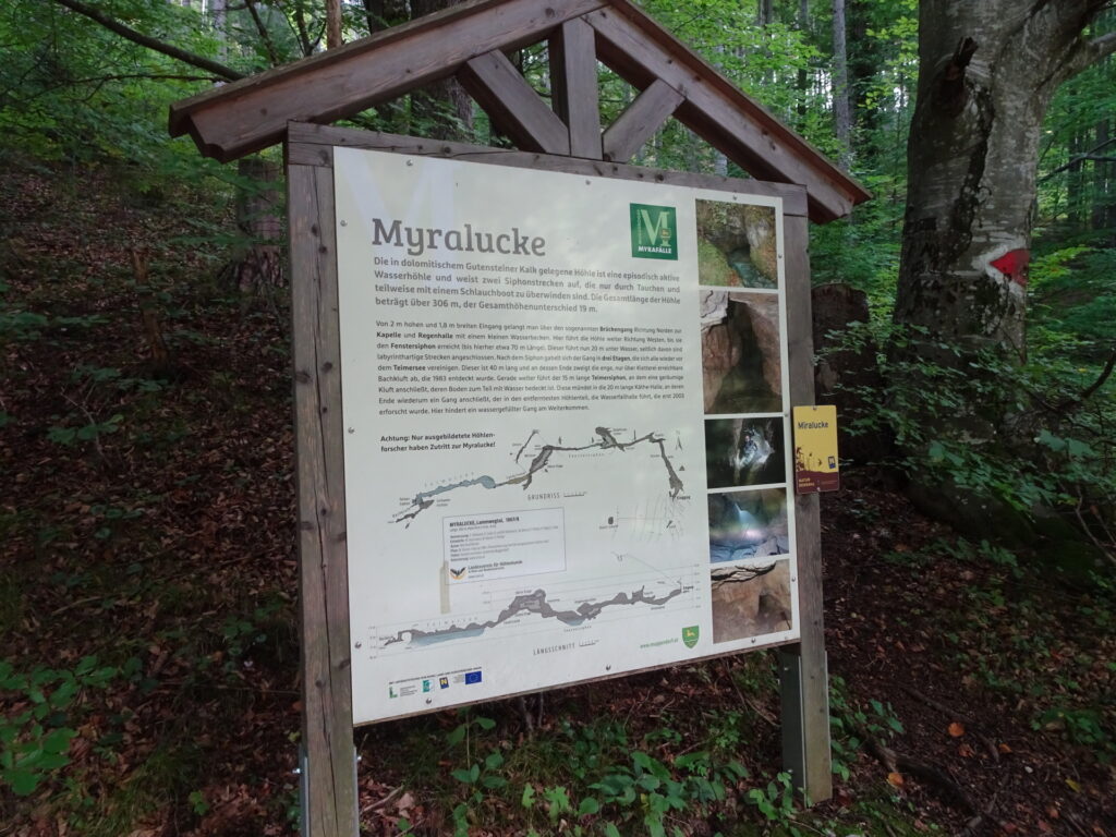
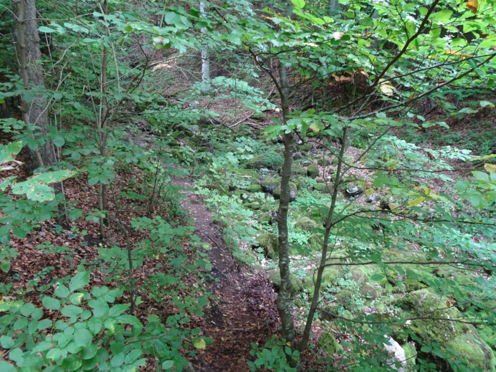
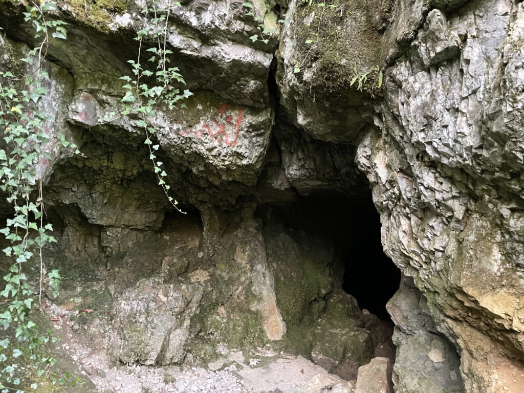
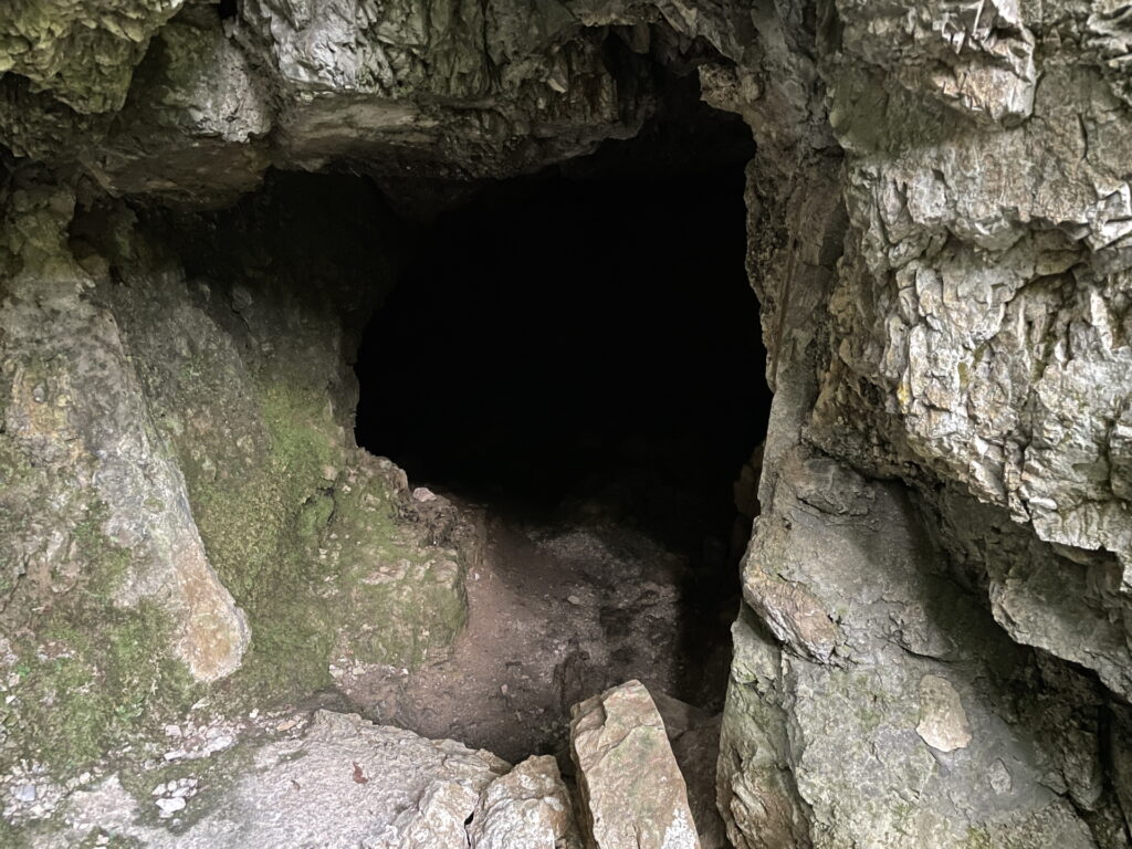
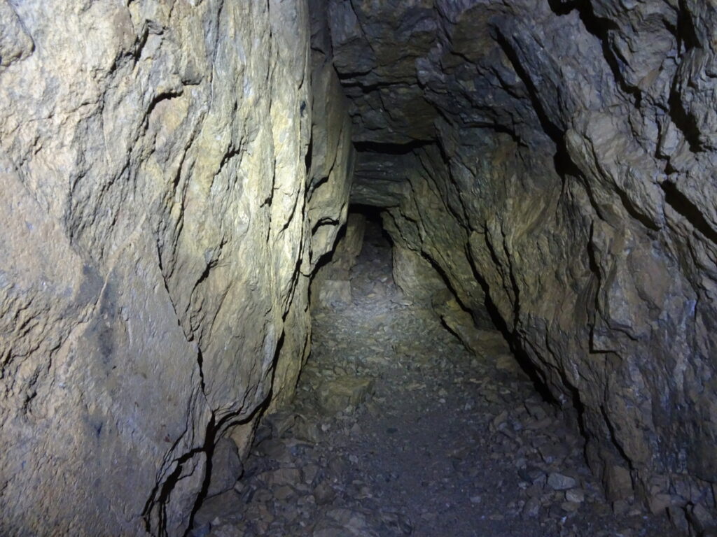
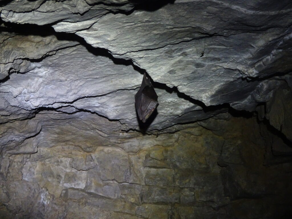
| 05:35 | At the information sign, turn left and follow the small trail leading towards the portal of the Miralucke cave. Have a quick look inside and then head back and continue following the trail eastwards which will automatically bring you back to the parking. |
| 06:00 | Back at the parking, end of the tour. |
| Area: | Gutensteiner Alpen, Lower Austria, Austria | |
| Distance: | 18km | |
| Ascent: | 1165m (1h 25min) | |
| Descent: | 1158m (1h 20min) | |
| Highest Pt: | 1342m | |
| Lowest Pt: | 646m | |
| Duration: | 5h 00min (without breaks) 6h 00min (with breaks) |
|
| Stop/Rest: | Enzianhütte (1107m) Unterberg Schutzhaus (1183m) |
|
| Equipment: | Comfortable hiking shoes Backpack with standard hiking equipment Snacks and plenty of water 2x Gipfelbier () Sun & Weather protection Camera GPS recommended |
| Download GPX | ||
| O | Tour at outdooractive.com |
At a glance
| Level | easy – moderate |
| Technique | |
| Shape / Fitness | |
| Experience | |
| Scenery | |
| Best time in the year | |
|
Jan
Feb
Mar
Apr
May
Jun
Jul
Aug
Sep
Oct
Nov
Dec
|
|












Leave a Reply