
Climb up Peilstein via the Coloir Stiege (B/C) and descend via the Haserlstiege and Matterhornstiege (A/B)
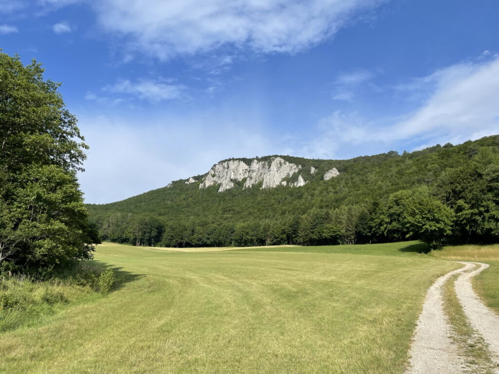
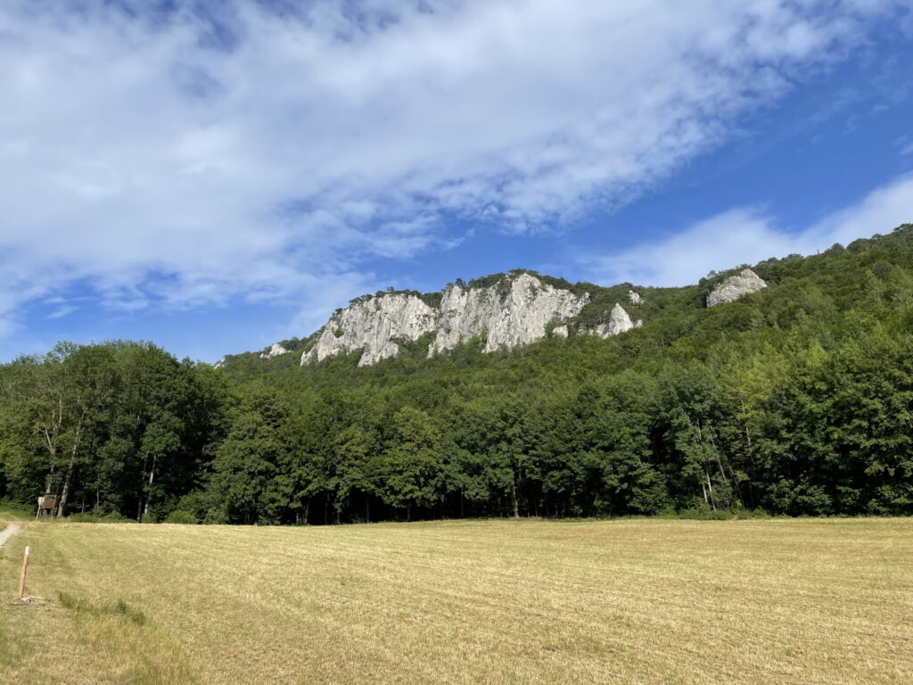
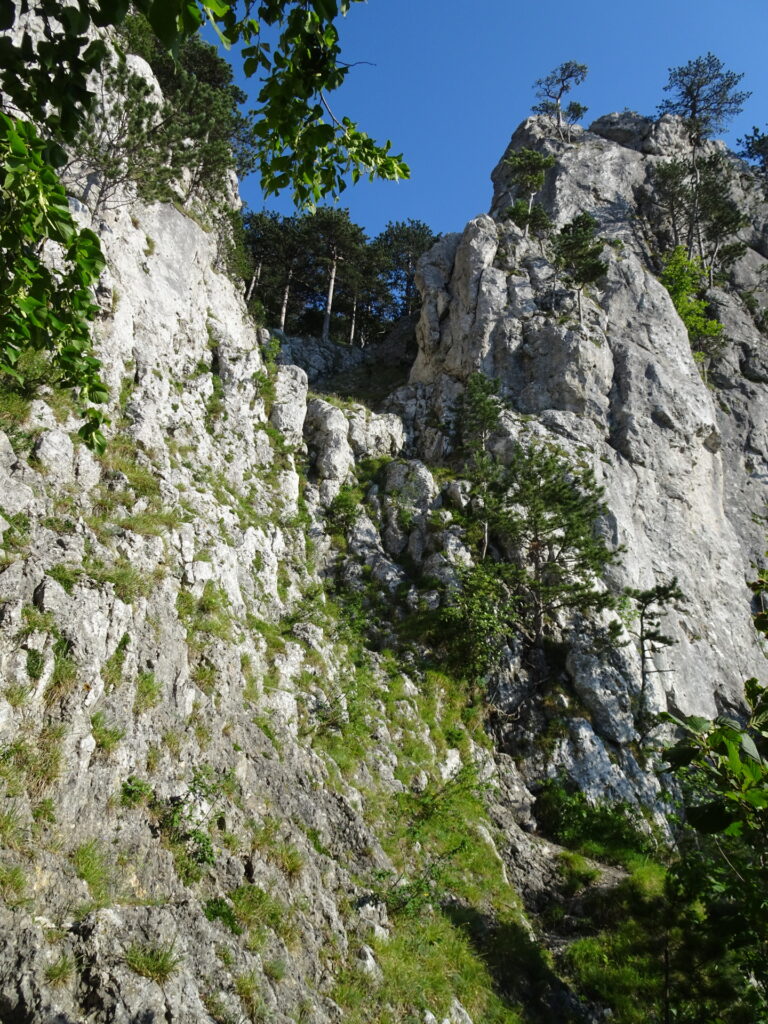
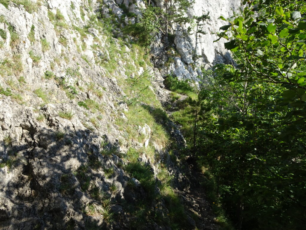
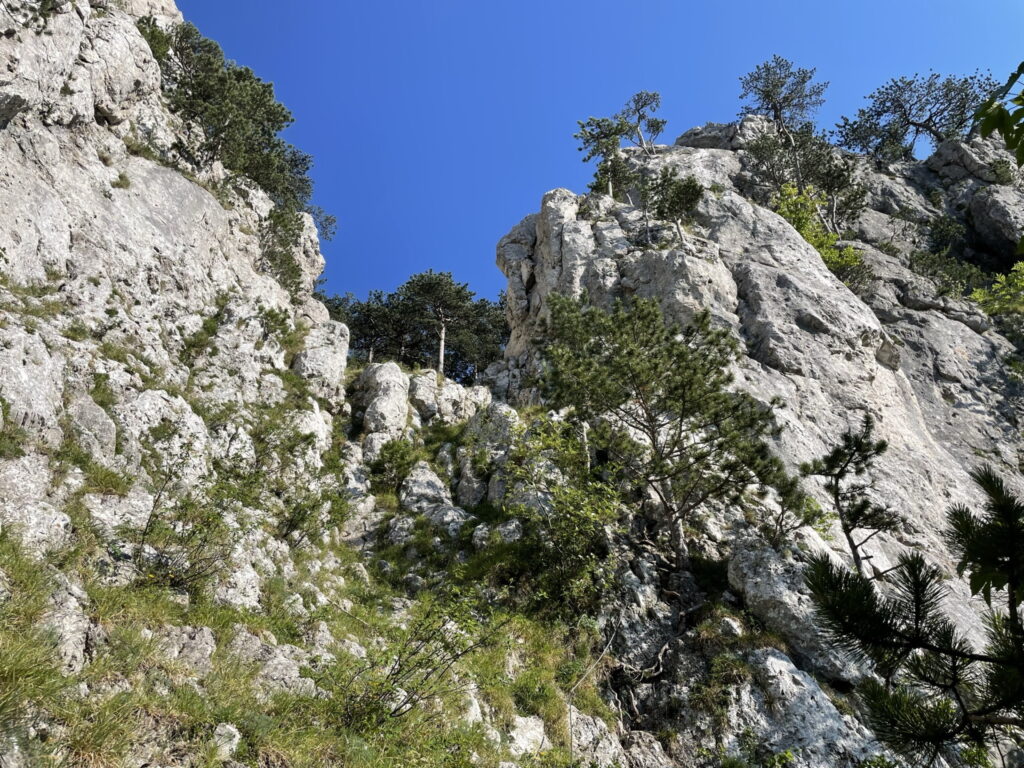
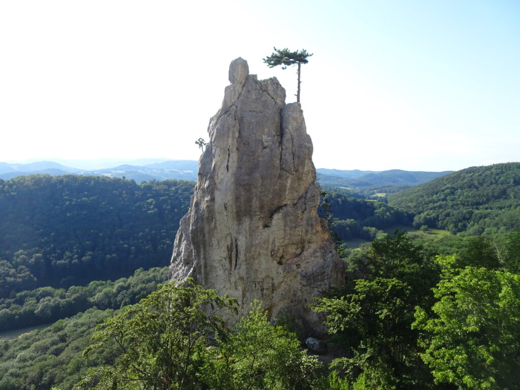
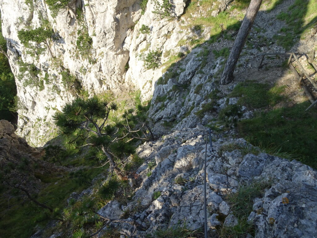
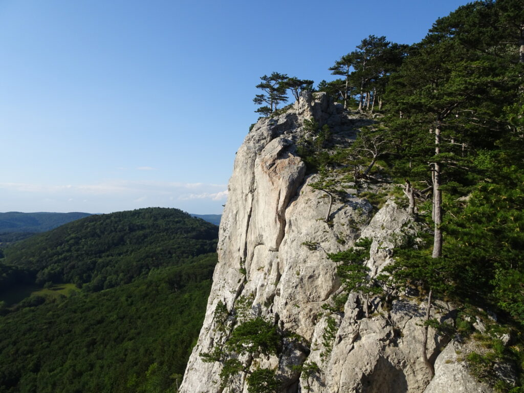
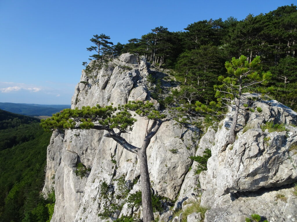
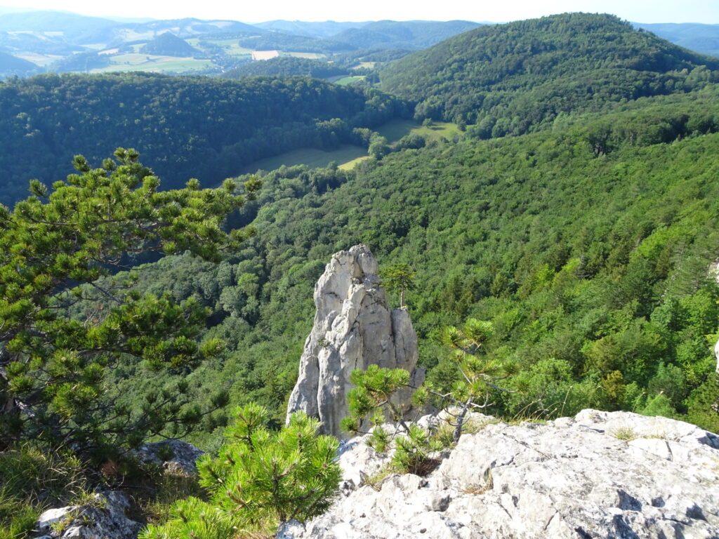
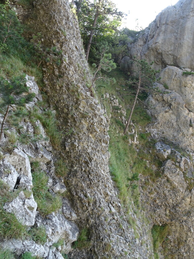
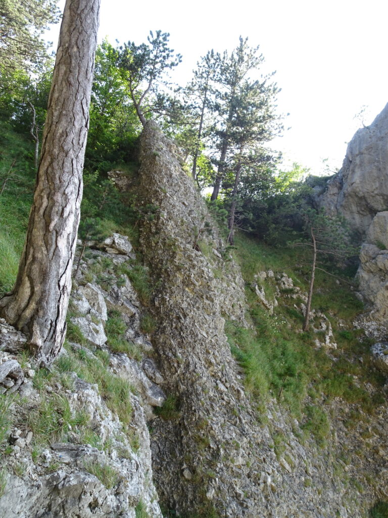
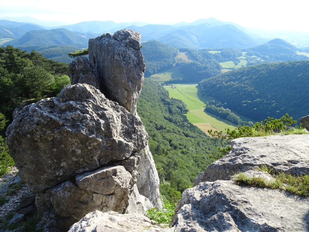
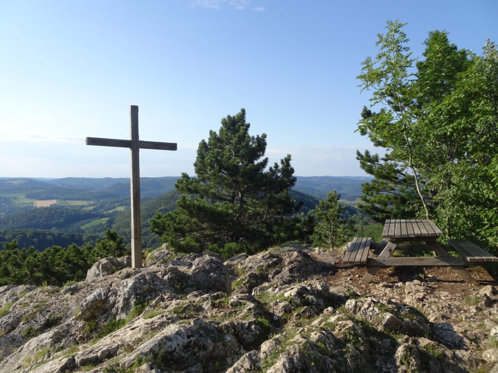
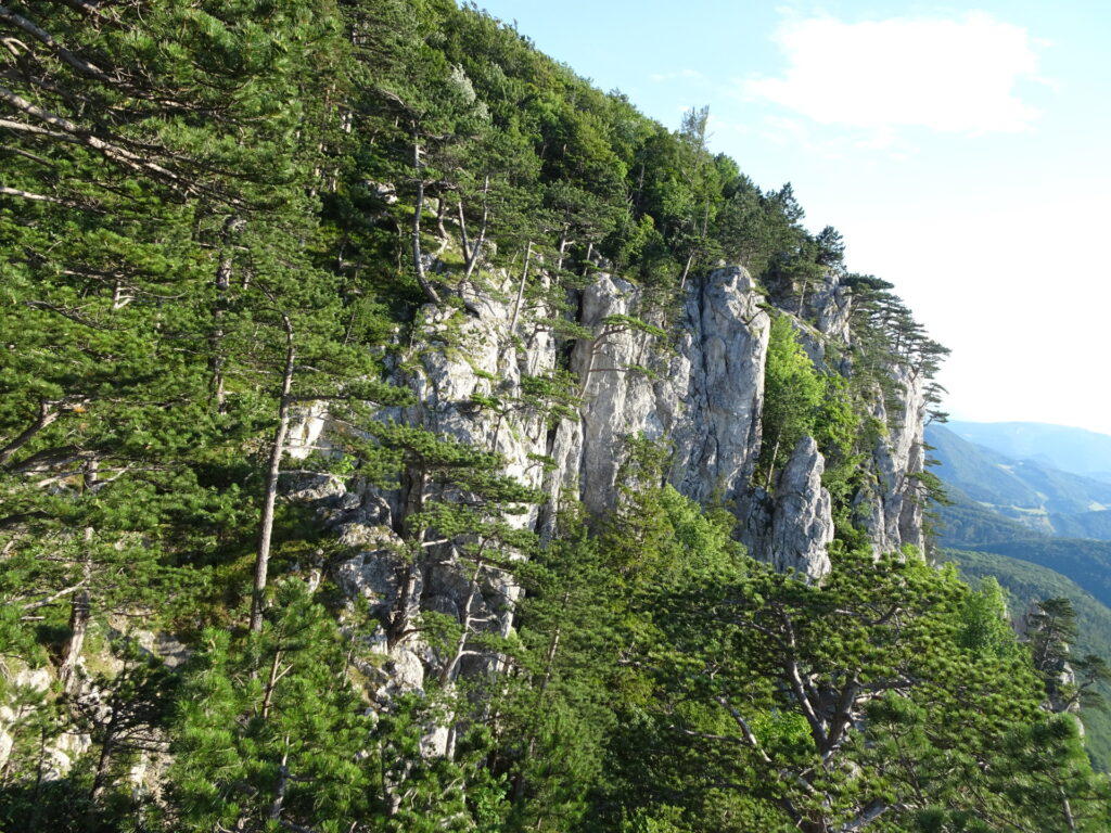
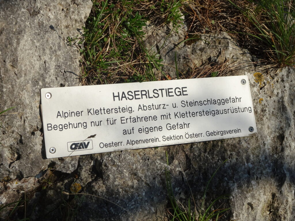
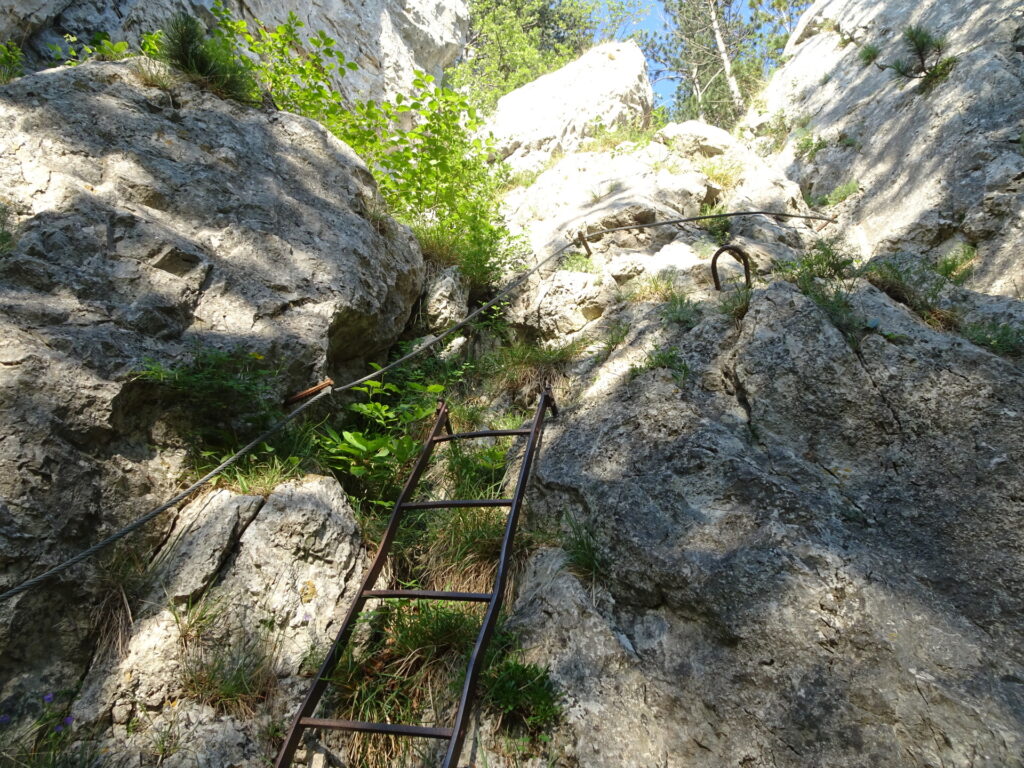
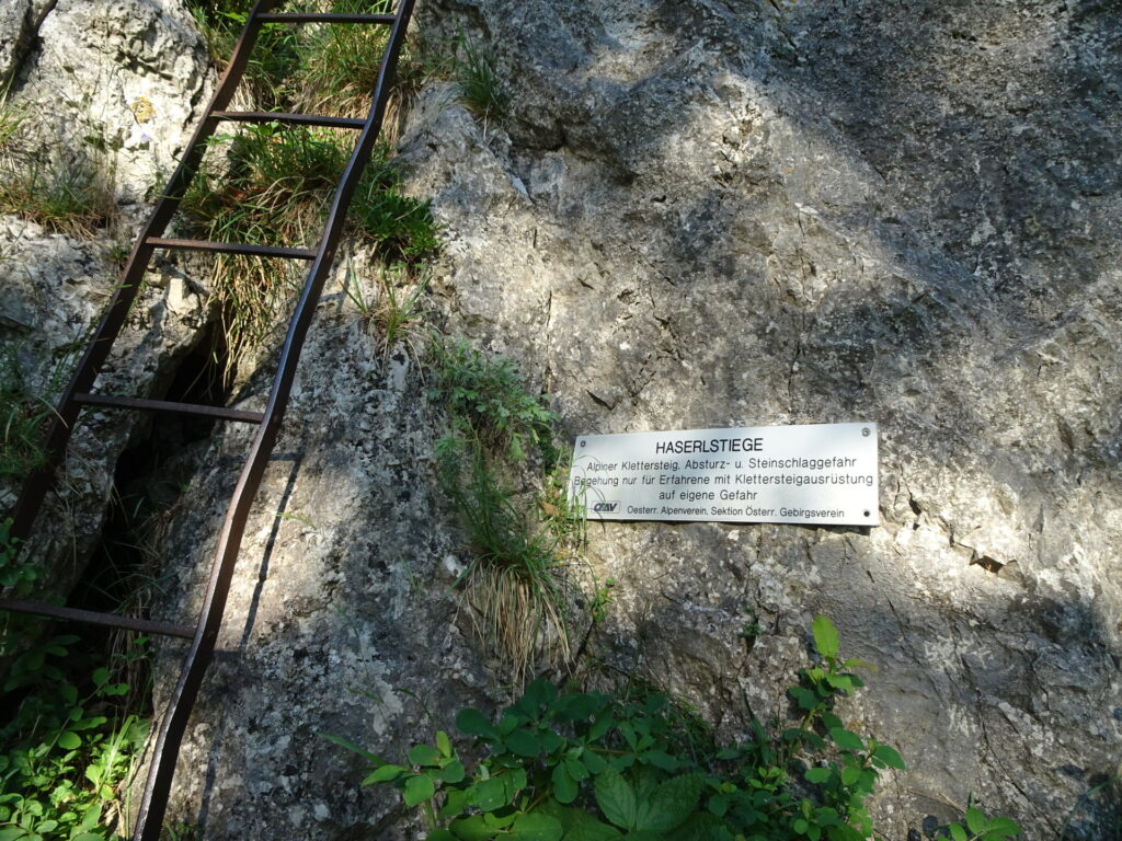
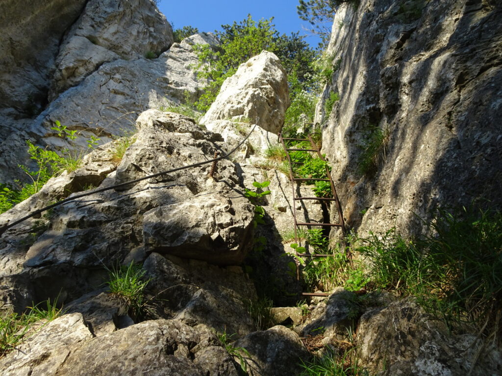
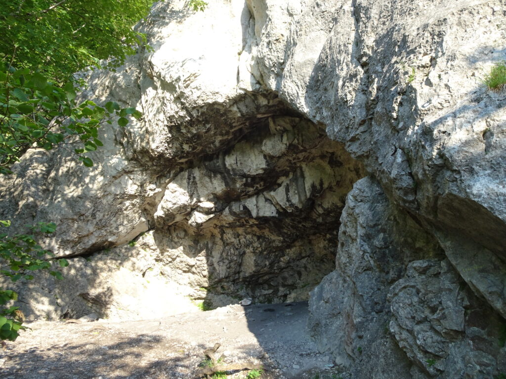
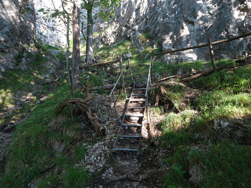
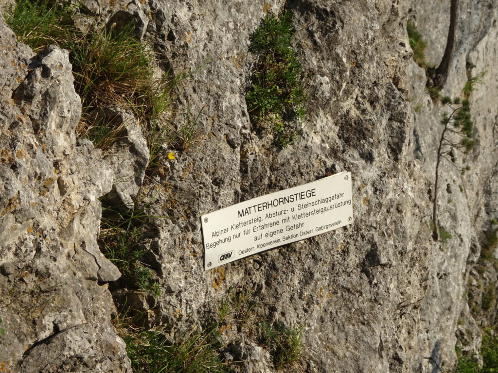
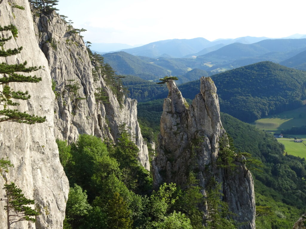
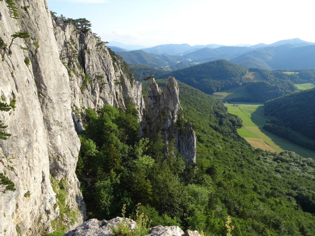
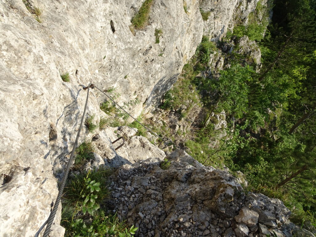
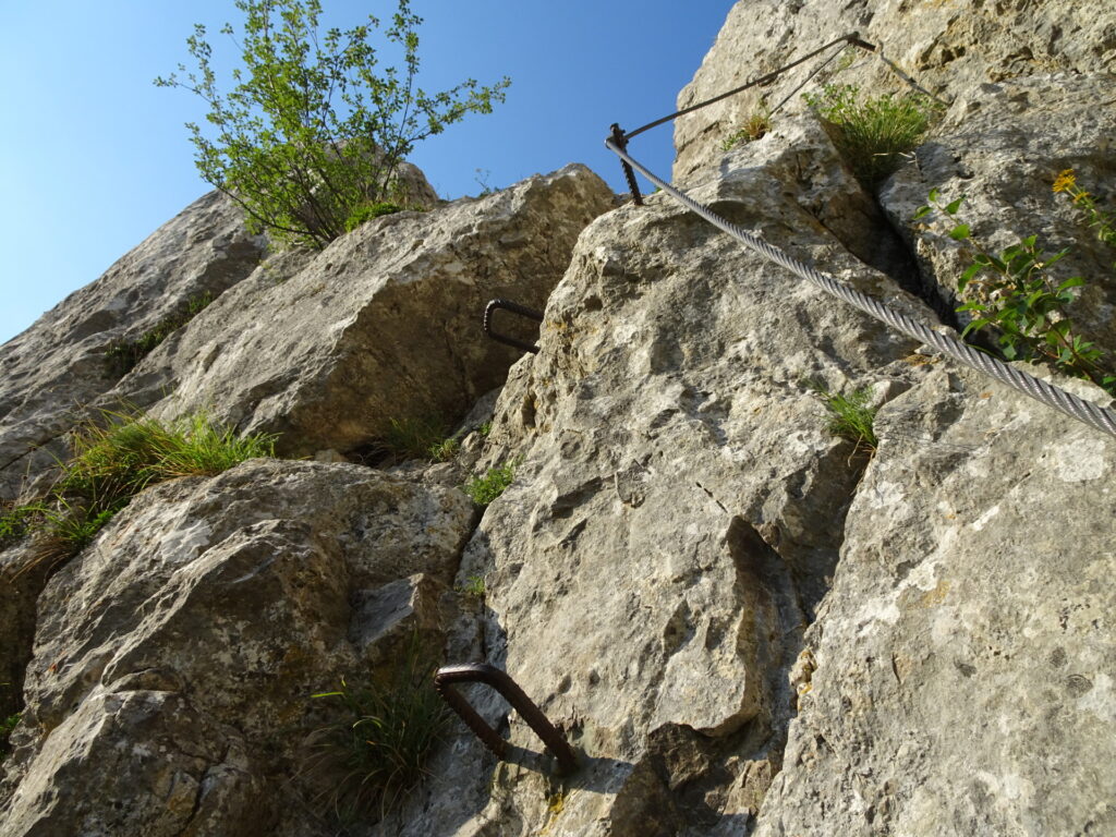
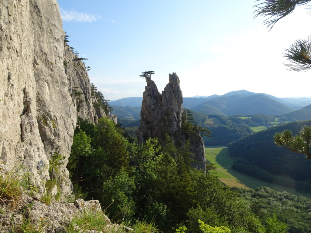
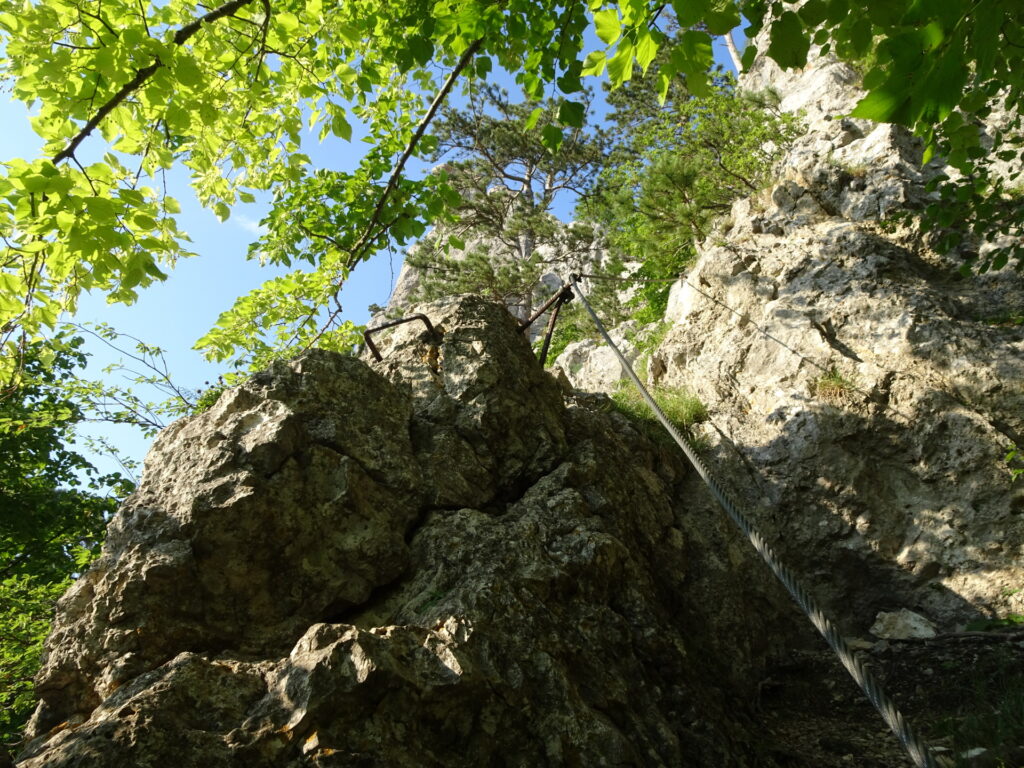
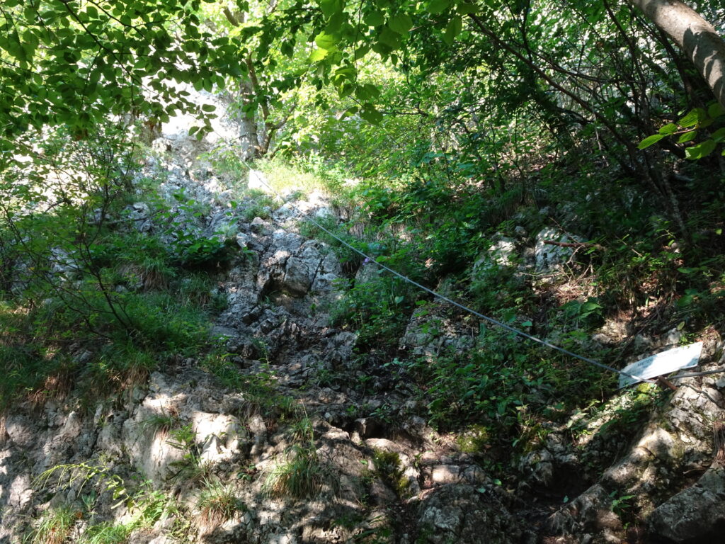
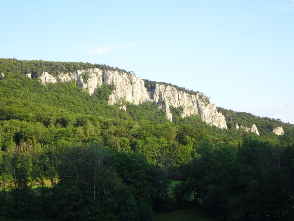
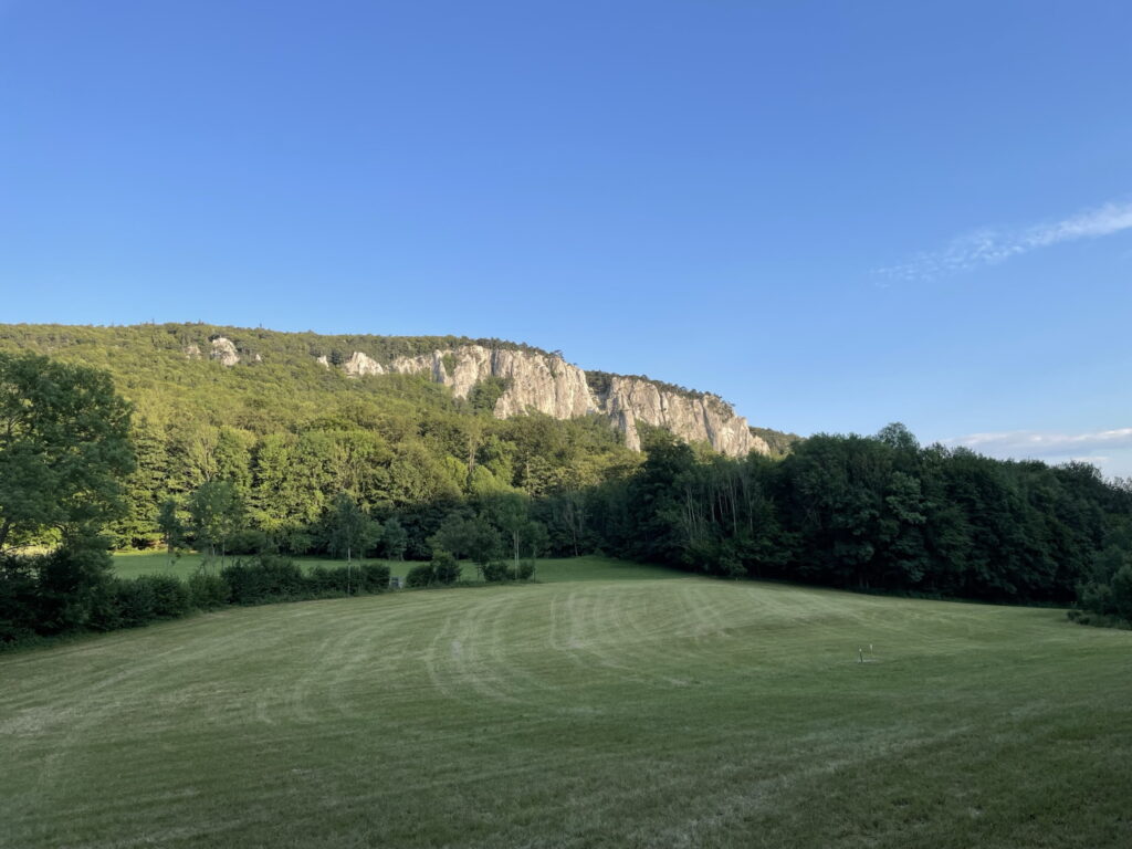
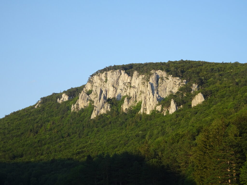
The tour starts at the parking Thalhof (GPS: 48.010288, 16.035254) and first follows a trail through a nice meadow heading towards the Peilstein and already provides a nice view over the climbing area. The tour then follows the Wandfußsteig till reaching the central crossing (marked with signposts) that lead to both Via Ferratas, the Matterhornstiege (used for descent) and the Coloir Stiege (used for the ascent). The ascent is then done via the Coloir Stiege (B/C) with its crux right after the beginning. The ferrata is short and the upper part can be bypassed by simply following the trail through the Coloir which is used by many climbers to descent after their climbing route. It is still recommended to follow the ferrata as the upper part is quite exciting (climbing up a ridge). The tour then follows the hiking trail northwards to the summit cross and then further to the Peilsteinhaus. After a well-deserved break, the descent is done via the two easier ferratas. First, the tour follows an unmarked (thus not easy to find) trail towards the Haserlstiege (A/B) which will be climbed down first. The tour then turns left and follows the trail around the iconic Teufelsbadstube cave and then keeps left again (do not follow the normal hiking trail) to access the Matterhornstiege. This second via ferrata (A/B) is then climbed down back to the central crossing. The tour then follows the trail northeastwards for a few meters before it turns left into an unmarked (markings are over-painted) trail that leads northwest and then at the vista point turns around and follows the forest road back to the parking, again providing stunning views towards Peilstein.
| 00:00 | Start at the parking Thalhof (GPS: 48.010288, 16.035254) and first follow the street northwestwards for a few meters. |
| 00:05 | Turn right into the gravel road heading northeastwards (through the meadow). |
| 00:10 | At the crossing, turn right and follow the gravel road eastwards heading towards the already visible Peilstein. |
| 00:15 | Follow the street (keep left) northwards heading towards Peilstein. |
| 00:20 | At the crossing, turn right and follow the path into the forest, keep straight (cross another forest road) and follow now the hiking path that leads automatically into the Wandfußsteig. |
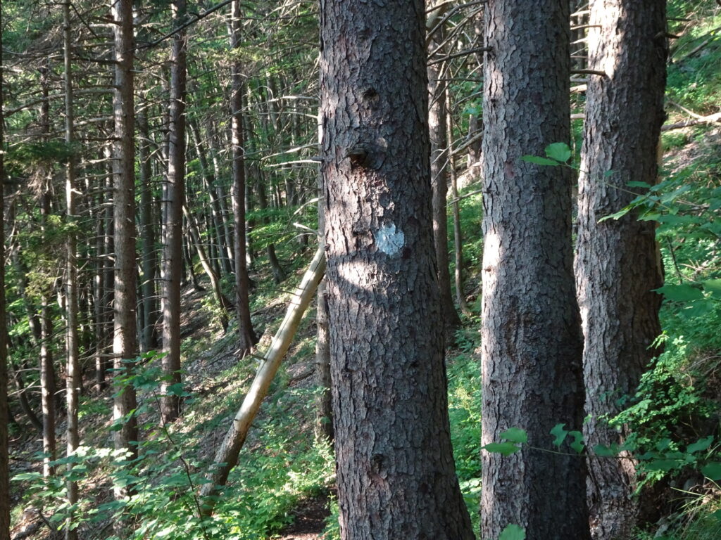
| 00:25 | Turn left and follow the marked (red-white-red) Wandfußsteig trail along the wall. |
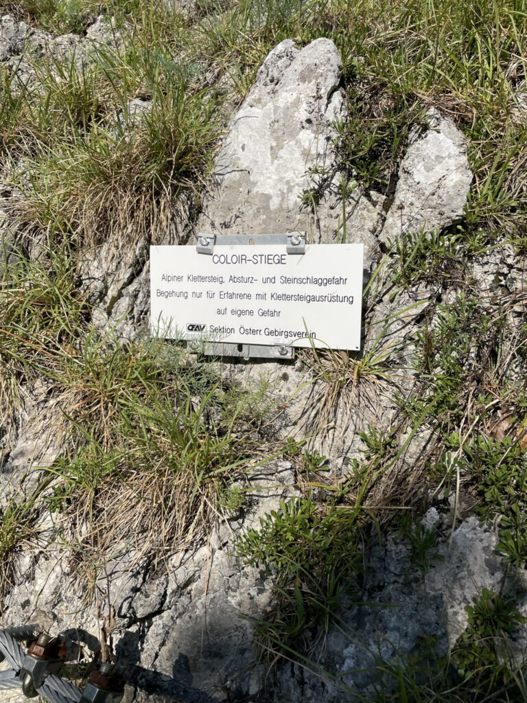
| 00:35 | At the central crossing, turn right and follow the trail up towards the start of Coloir Stiege (see signpost). Always keep right when following up the trail. |
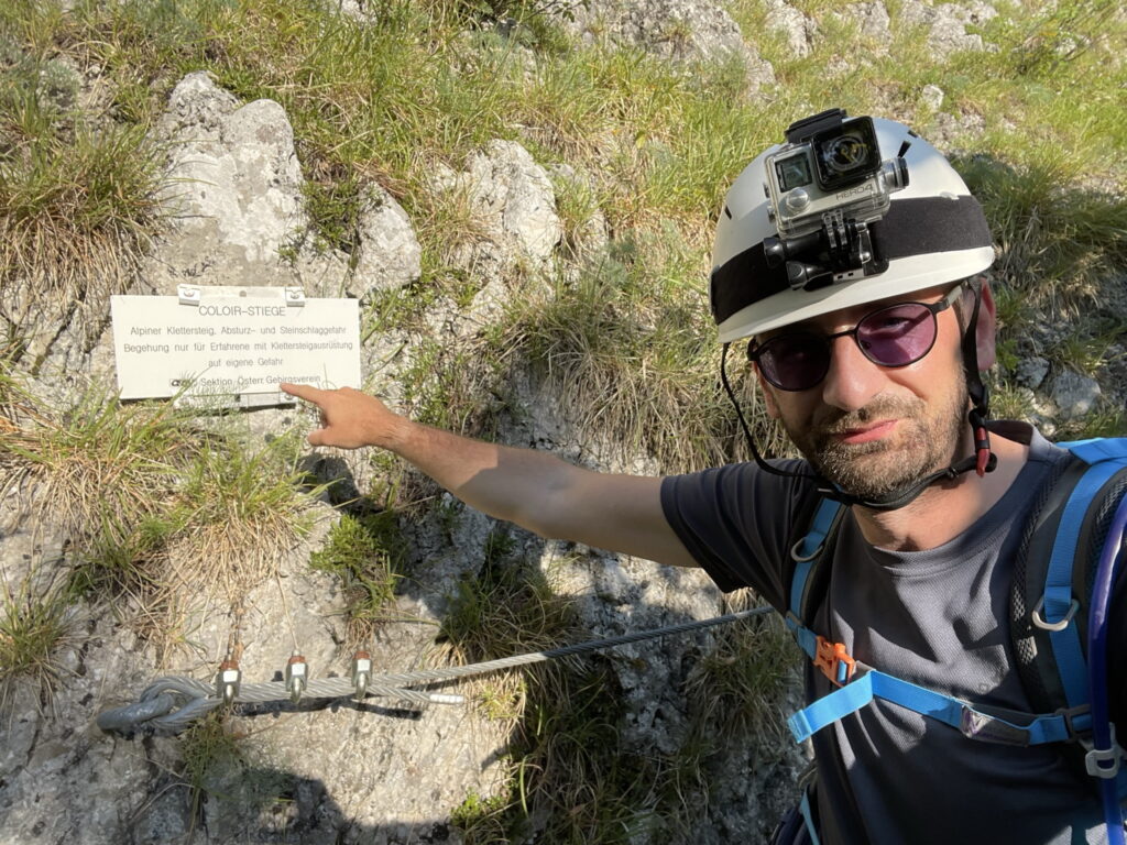
| 00:40 | Put on the via ferrata set at the start of Coloir Stiege. Then follow the route of the Coloir Stiege via ferrata. |
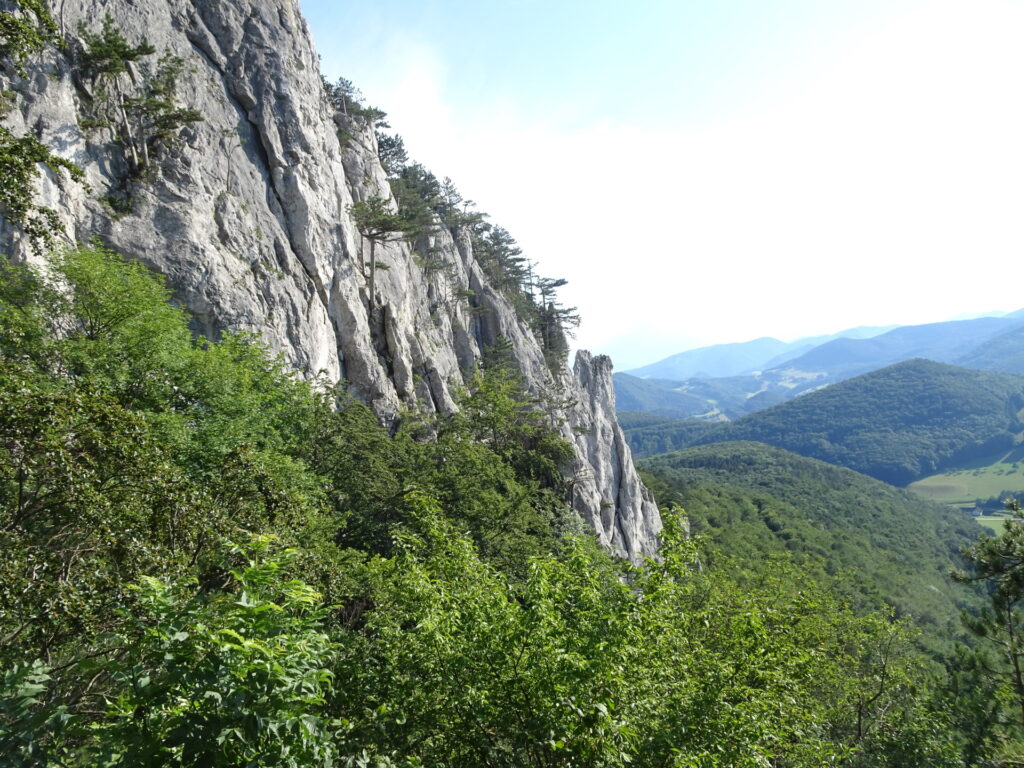
| 01:00 | At the exit of the ferrata, keep right and follow the trail up to the view point. |
| 01:05 | Enjoy the view from the view point and then head back towards the exit of the via ferrata but stay on the marked trail northwards towards the summit cross. |
| 01:10 | Enjoy the view from the summit cross and then continue follow the marked trail north towards Peilsteinhaus. |
| 01:15 | Well deserved break ( ) at Peilsteinhaus. |
| 01:45 | Walk back a few meters in direction of the summit cross but keep right at the first possibility as soon as you enter the forest ( Careful: the trail towards Haserlstiege is not marked and not easy to find). |
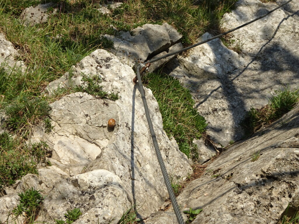
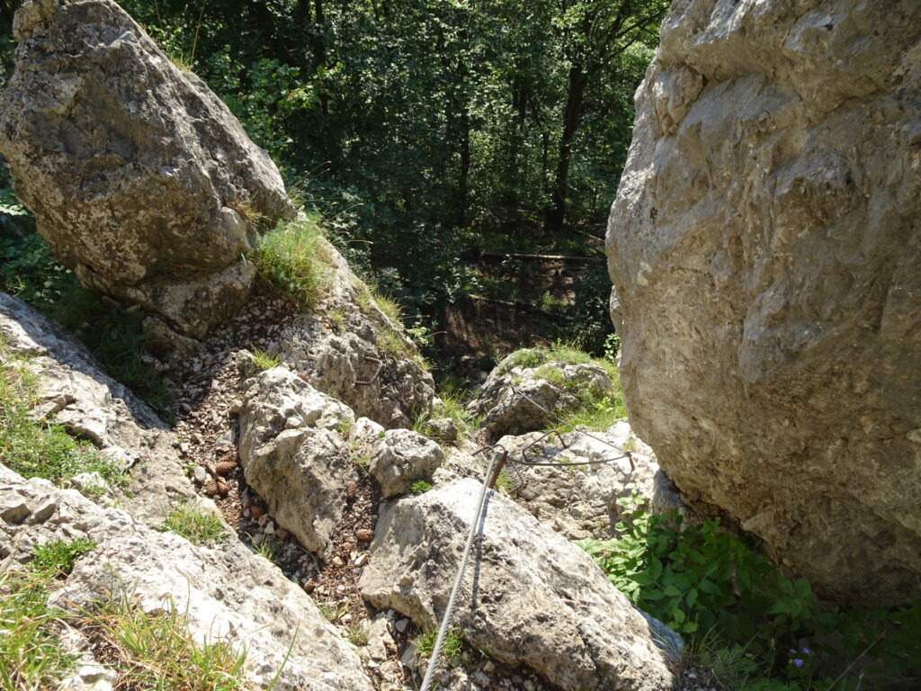
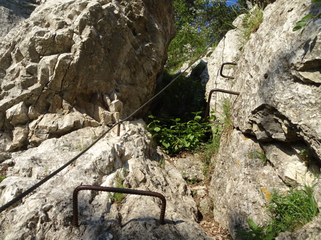
| 01:50 | Start climbing down the Haserstiege via ferrata (A/B). |
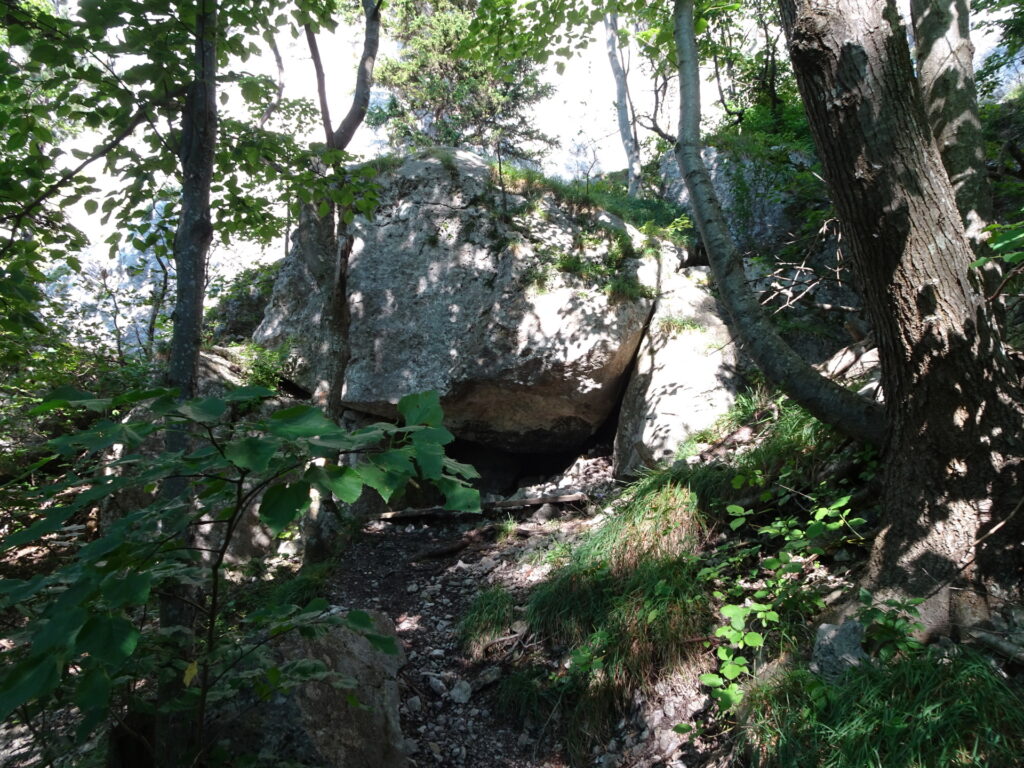
| 02:05 | At the bottom of the Haserlstiege, turn left and follow the hiking trail southwestwards. Hike around the cave and keep left behind the cave (leave the marked hiking route) and hike up again the trail which leads towards the top of Matterhornstiege. |
| 02:10 | Start climbing down the Matterhornstiege via ferrata (A/B). |
| 02:25 | At the bottom of Matterhornstiege follow the trail down to the central crossing (keep right) and follow the trail for a few meters. |
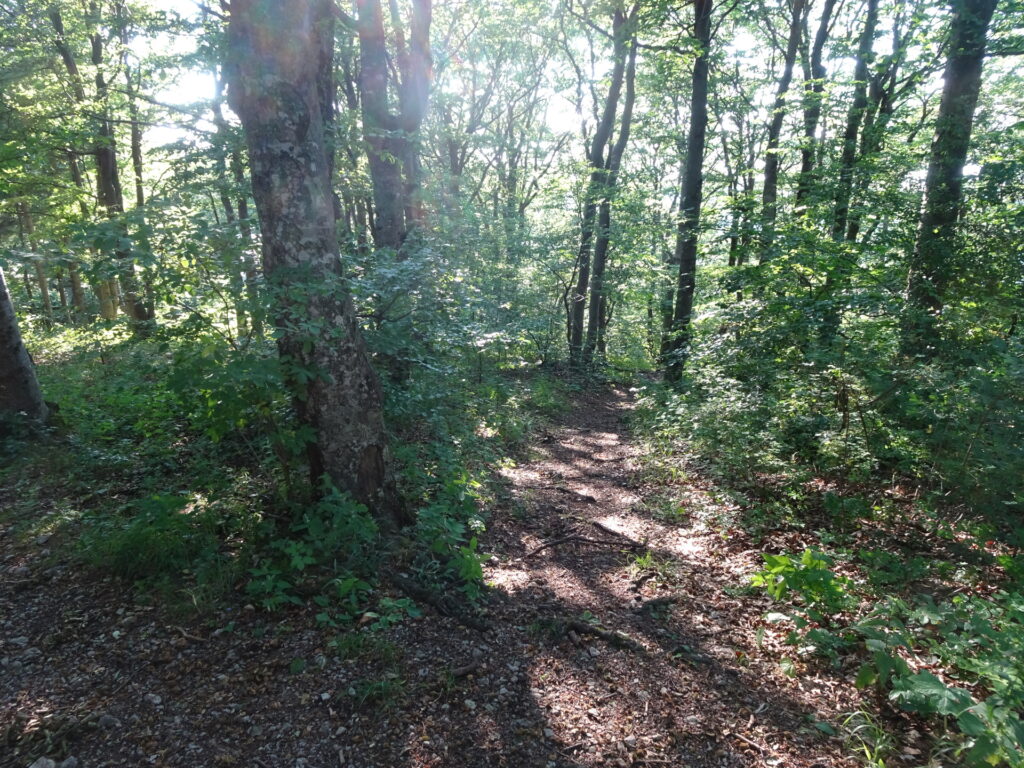
| 02:27 | Turn left and follow the unmarked but visible trail down through the forest. |
| 02:35 | At the crossing, turn left and follow the unmarked trail through the forest westwards. |
| 02:38 | At the crossing, turn right and follow the forest road northwestwards leading to the northern viewpoint. |
| 02:45 | Enjoy the view from the northern viewpoint (northern point of the long meadow). |
| 02:50 | Follow the trail south along the long meadow back to the parking. |
| 03:10 | Back at the parking, end of the tour. |
At a glance
| Level | moderate |
| – Via Ferrata Category | B/C |
| Technique | |
| Shape / Fitness | |
| Experience | |
| Scenery | |
| Best time in the year | |
|
Jan
Feb
Mar
Apr
May
Jun
Jul
Aug
Sep
Oct
Nov
Dec
|
|
| Area: | Wienerwald, Lower Austria, Austria | |
| Distance: | 6km | |
| Ascent: | 422m (1h 05min) | |
| Descent: | 405m (1h 10min) | |
| Highest Pt: | 716m | |
| Lowest Pt: | 406m | |
| Duration: | 2h 40min (without breaks) 3h 10min (with breaks) |
|
| Stop/Rest: | Peilsteinhaus (716m) | |
| Equipment: | Via ferrata set incl. helmet Hiking shoes with good grip (on rock) Backpack with standard hiking equipment Adequate amount of water Sun & Weather protection Camera GPS recommended |
|
| Topo/Map: | 3 Ferratas of Peilstein (B/C, A/B) |
| Download GPX | ||
| O | Tour at outdooractive.com |













Leave a Reply