
Climb up Schneeberg from Schneebergdörfl via the Novembergrat (UIAA I+) and then back along the cog railway
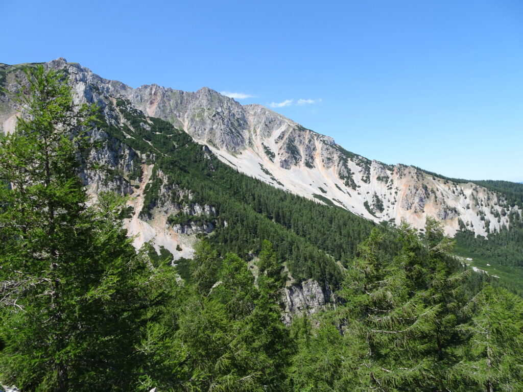
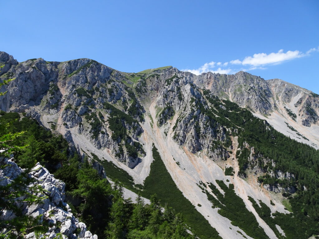
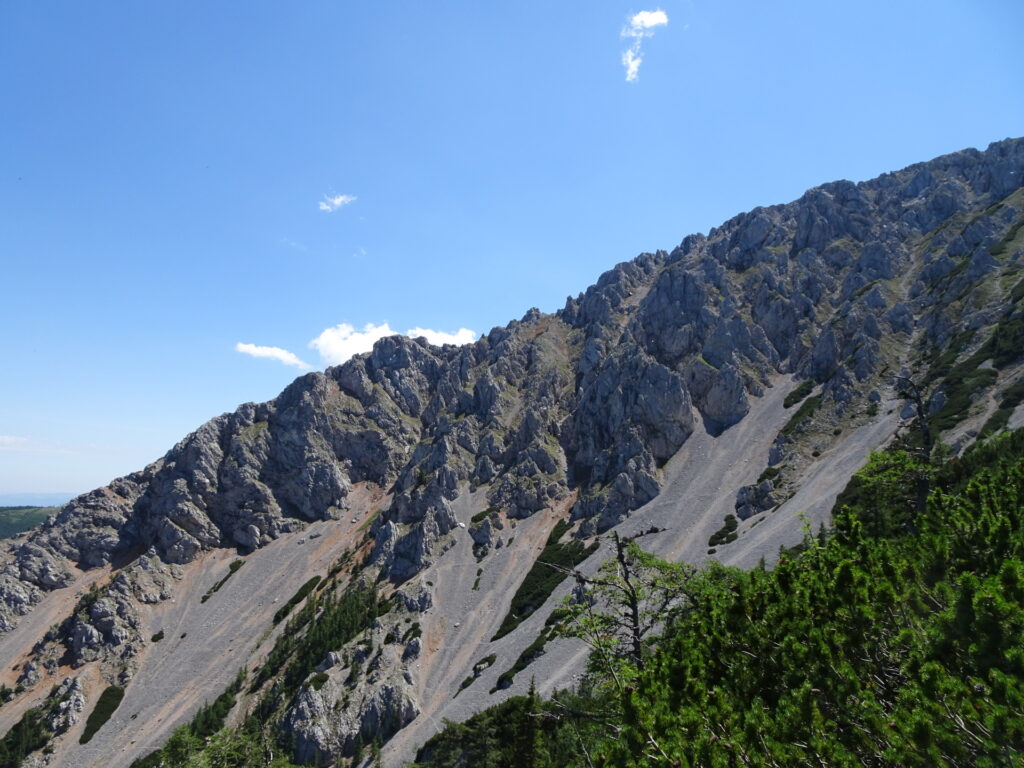
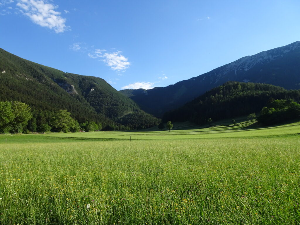
This tour starts in Schneebergdörfl (GPS: 47.776800, 15.862992) and first follows the trail through Schrattental towards the lower Schneidergraben. It then ascents via the slippery and steep scree field and then turns right into the Nördlicher Grafensteig. At Sitzstatt, it then follows the rarely marked Novembergrat which is an easy but long and exposed climbing tour (UIAA I+) up to the plateau. After mastering this climbing part, the tour turns right and heads towards the Fischerhütte at Kaiserstein. The tour then follows the trail towards the highest point of the plateau, the Klosterwappen. The descent is done following the trail towards Damböckhaus and then passes by the last summit, the Waxriegel. After a short visit of Elisabethkirchlein, the tour descends following the trail next to the cog railway till reaching the Kaltwassersattel. The tour then turns left and follows the partly steep hiking trail back to Schneebergdörfl.
Tour Description
| 00:00 | Start at the parking Schneebergdörfl (GPS: 47.776800, 15.862992) and follow the street (blue marked) westwards towards Nördlicher Grafensteig (see signposts!). |
| 00:13 | Pass by the house and continue following the blue marked trail towards Nördlicher Grafensteig. |
| 00:15 | At the crossing, keep left and follow the blue marked trail towards Nördlicher Grafensteig (note, both trails will lead there but the right one does a huge detour). |
| 00:25 | Keep following the marked trail through the Schneidergraben. |
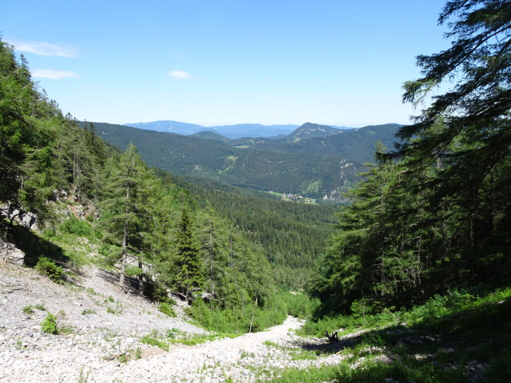
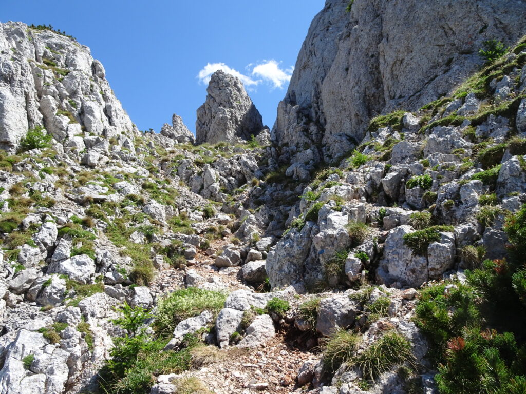
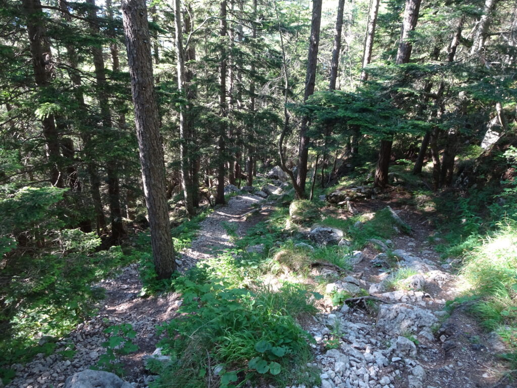
| 00:40 | At the crossing, turn left and follow the trail up the Schneidergraben. Please note that the trail now gets steep and leads through a slippery scree field. |
| 01:10 | At the crossing, turn right and follow now the red marked Nördlicher Grafensteig direction Edelweißhütte (see signpost). |
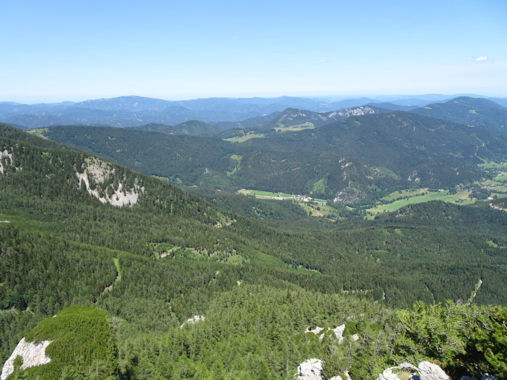
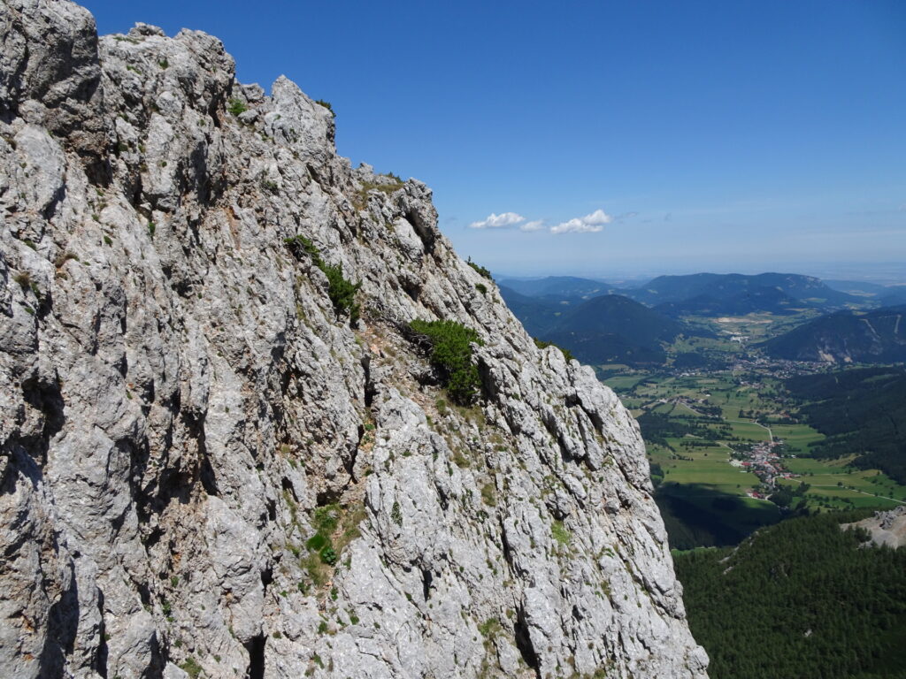
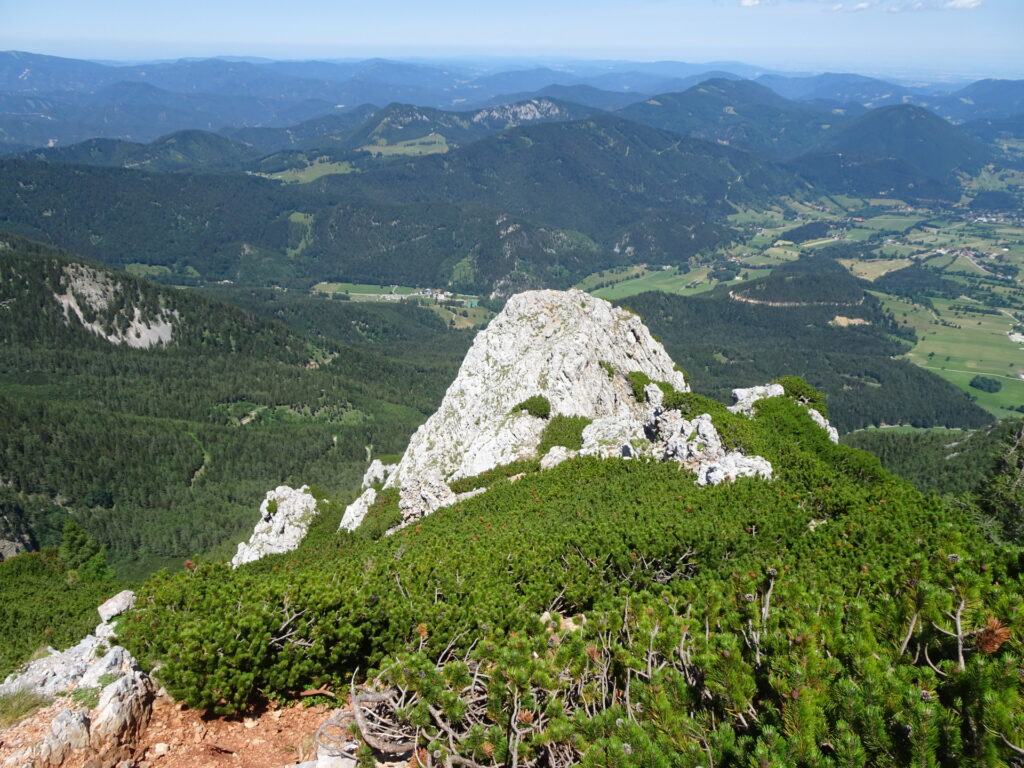
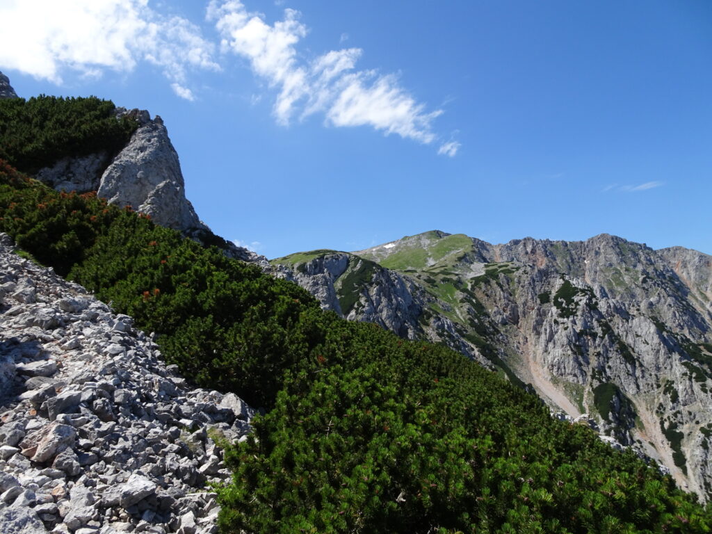
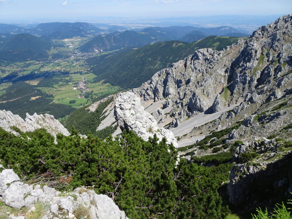
| 01:25 | Enjoy the view from Sitzstatt and then turn sharp left and follow the unmarked trail up to Novembergrat. |
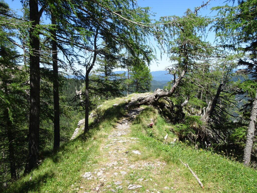
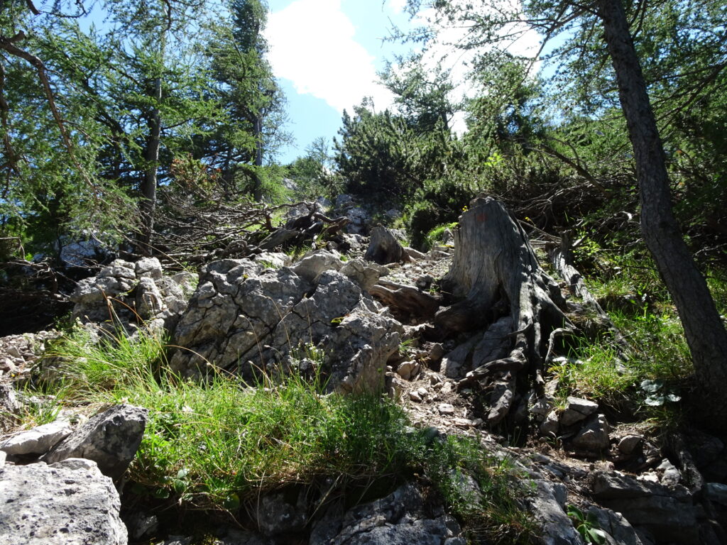
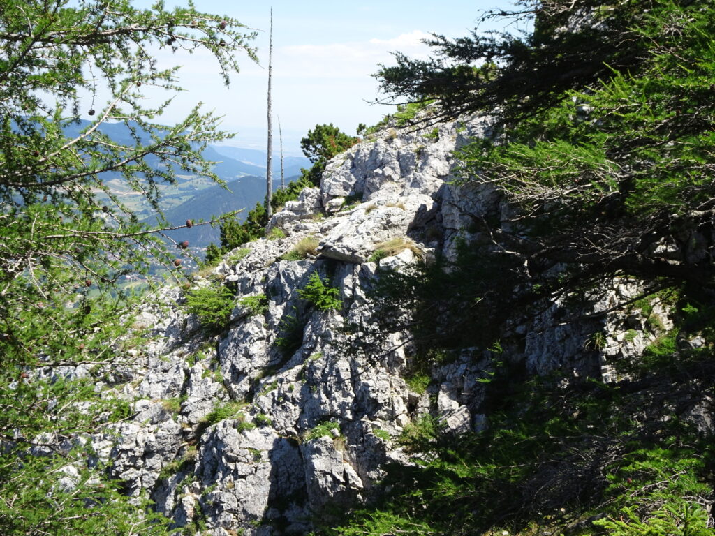
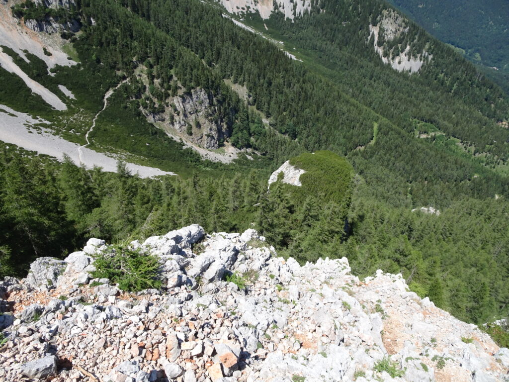
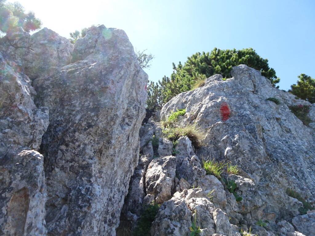
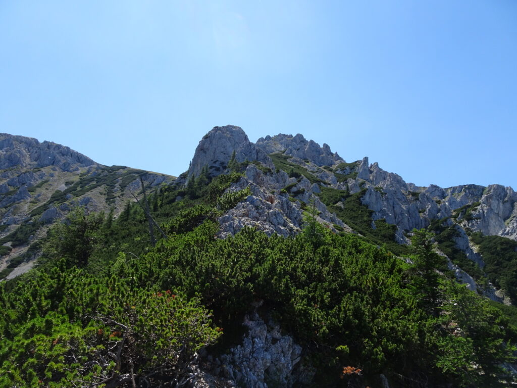
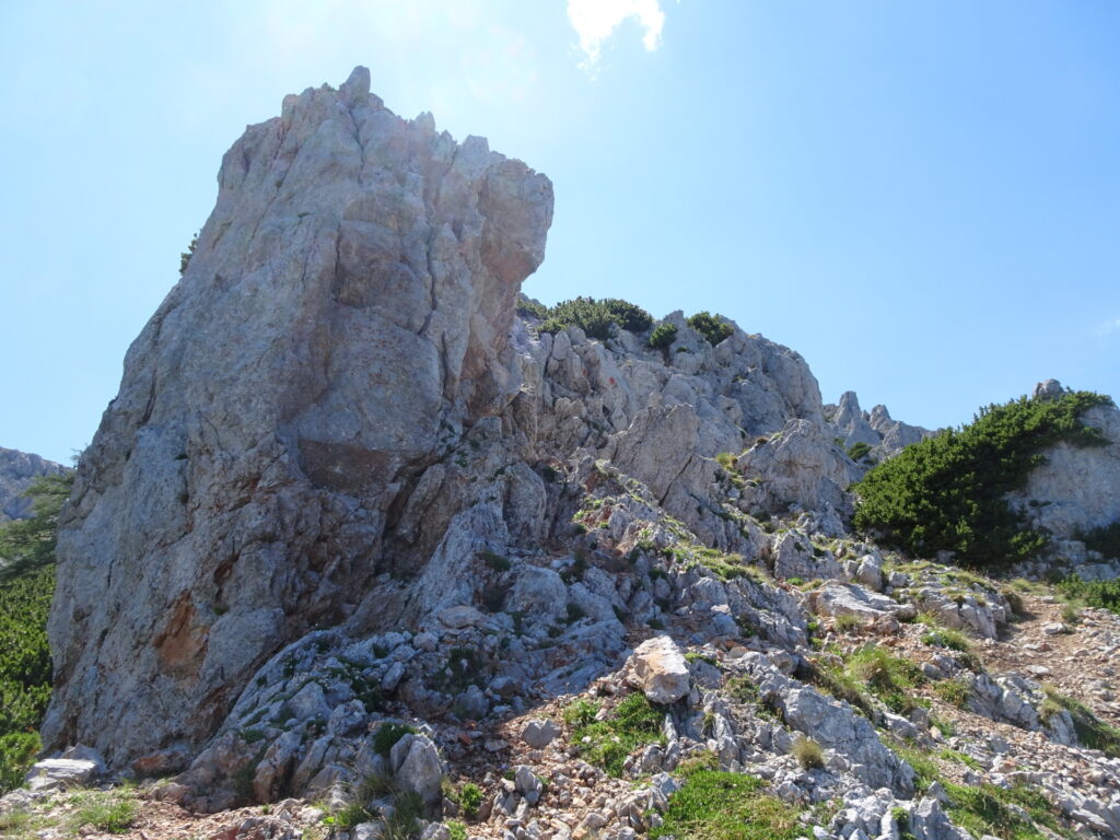
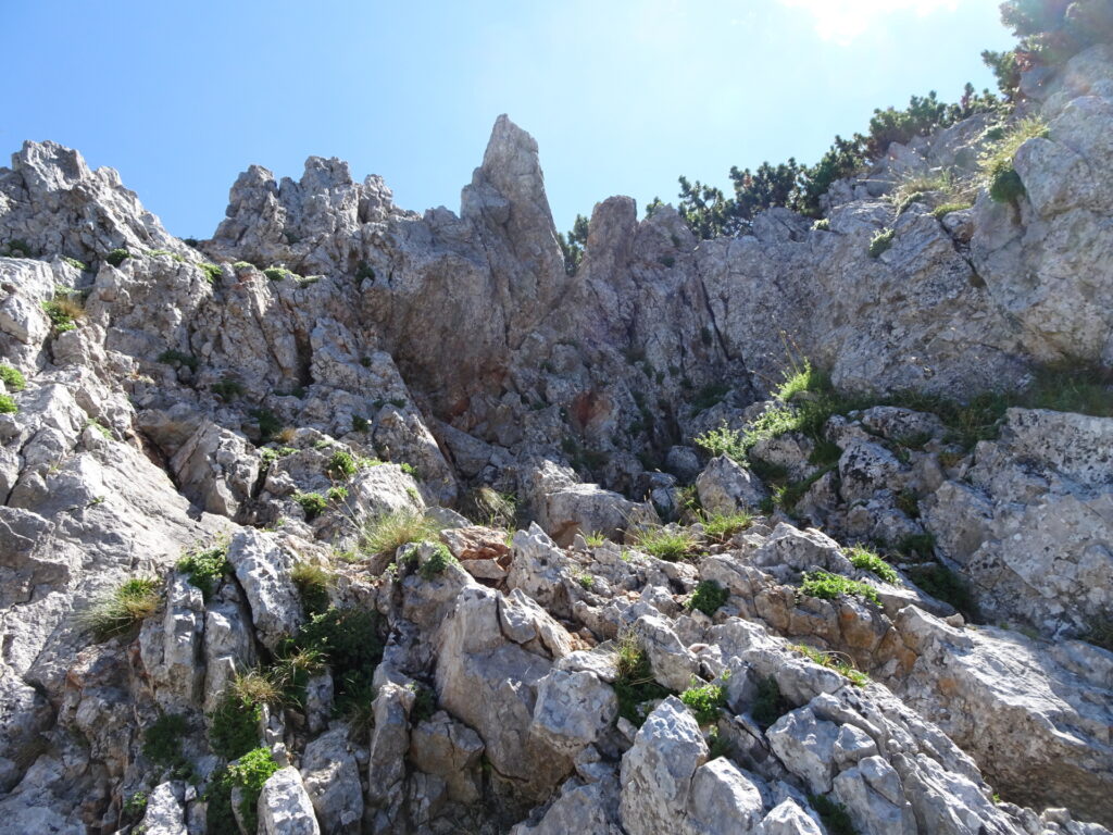
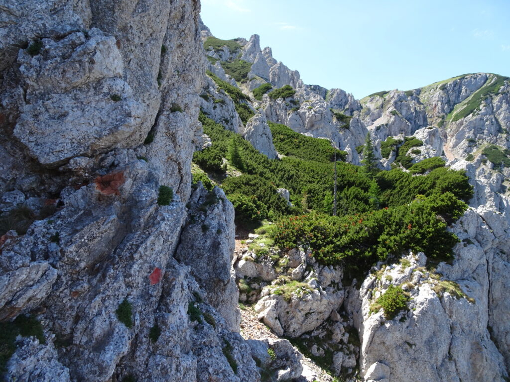
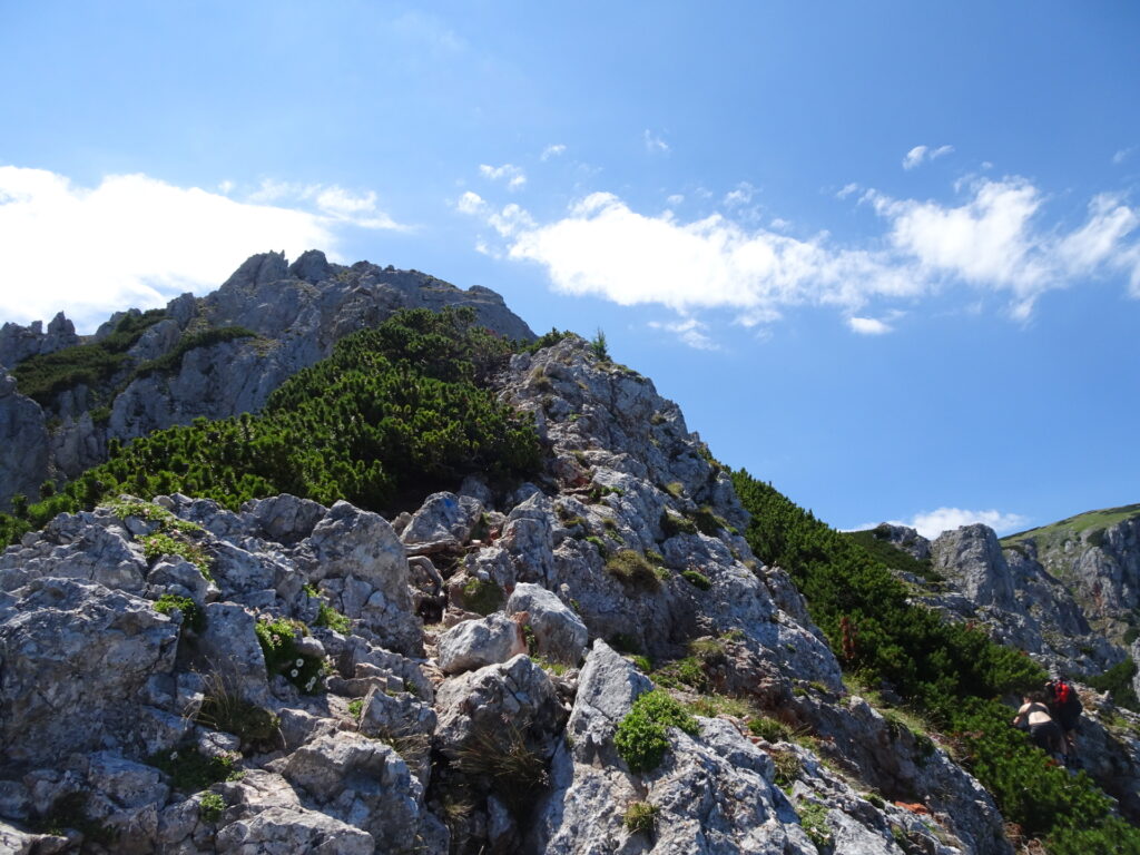
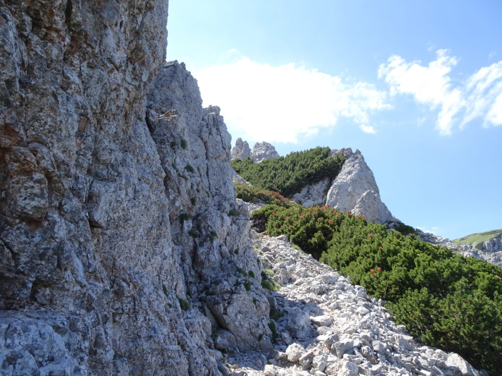
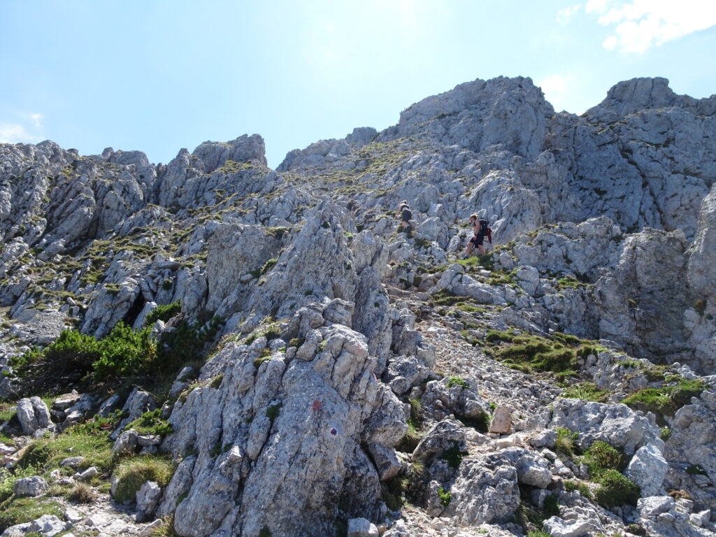
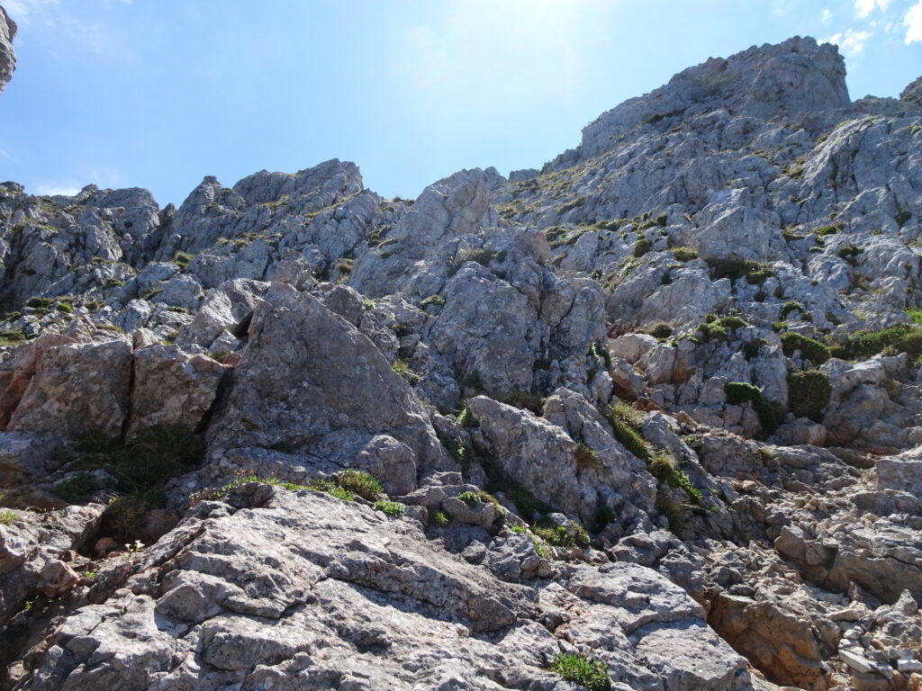
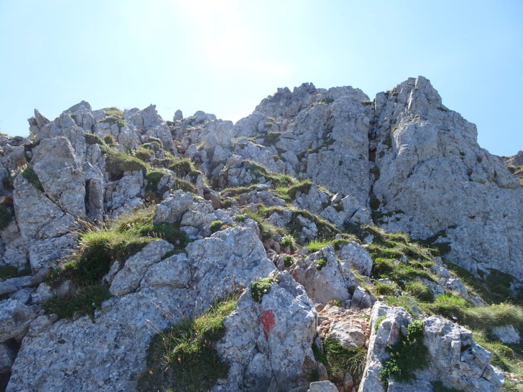
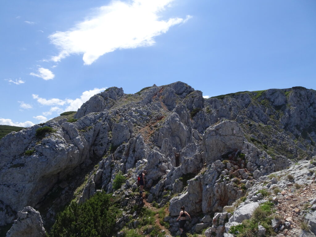
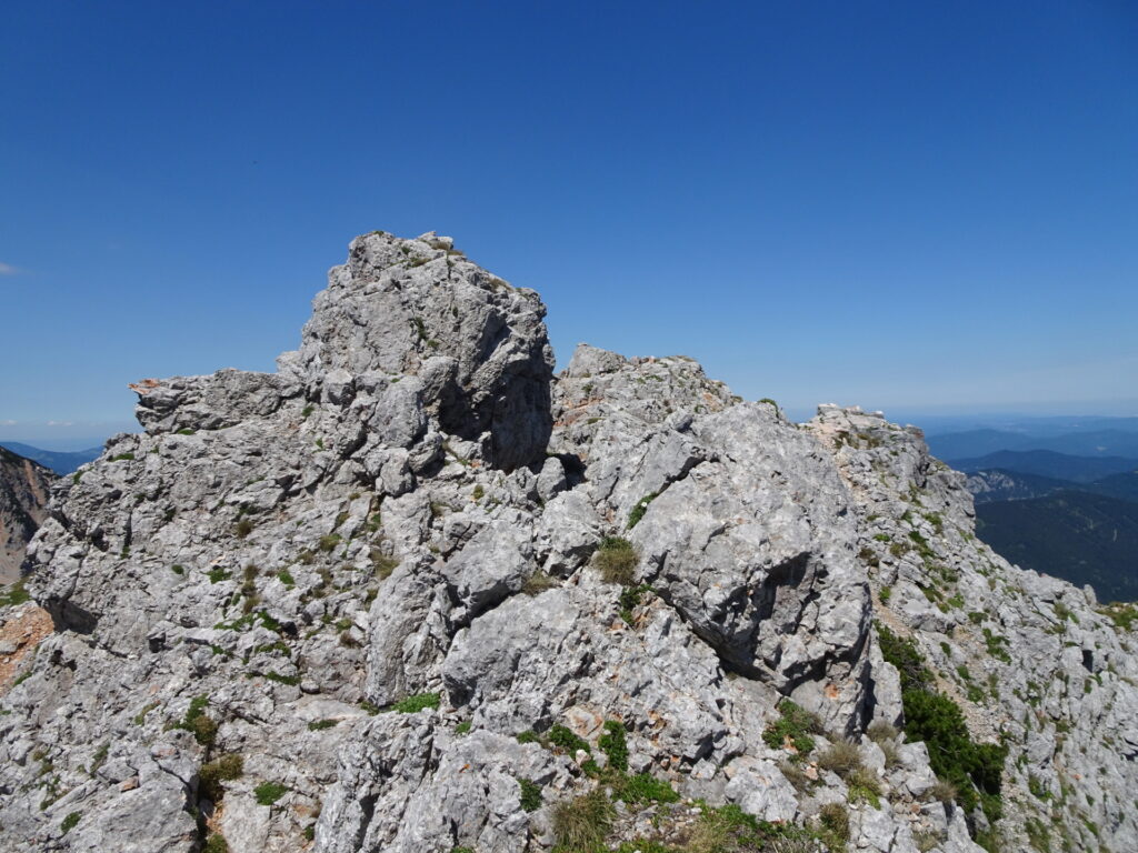
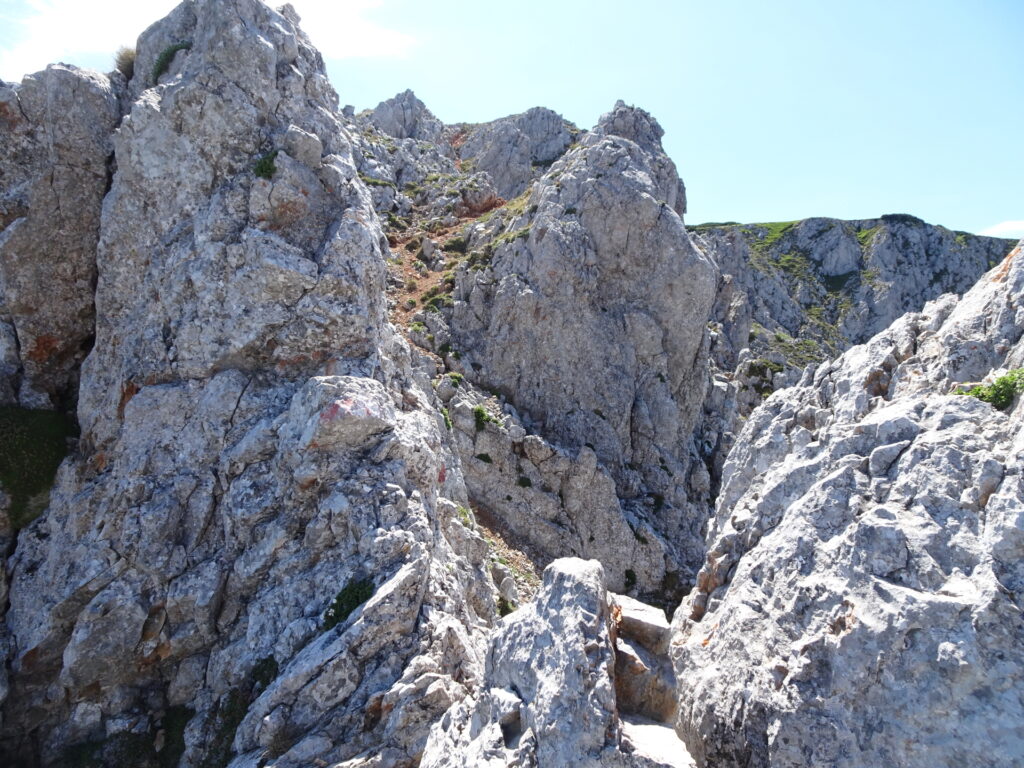
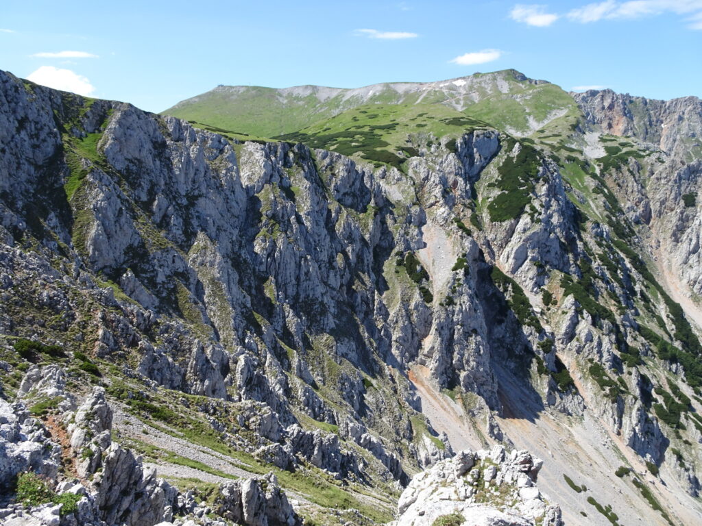
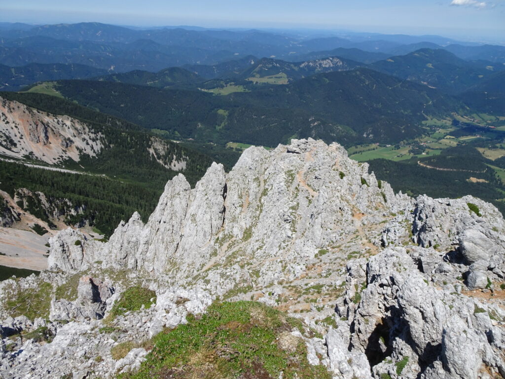
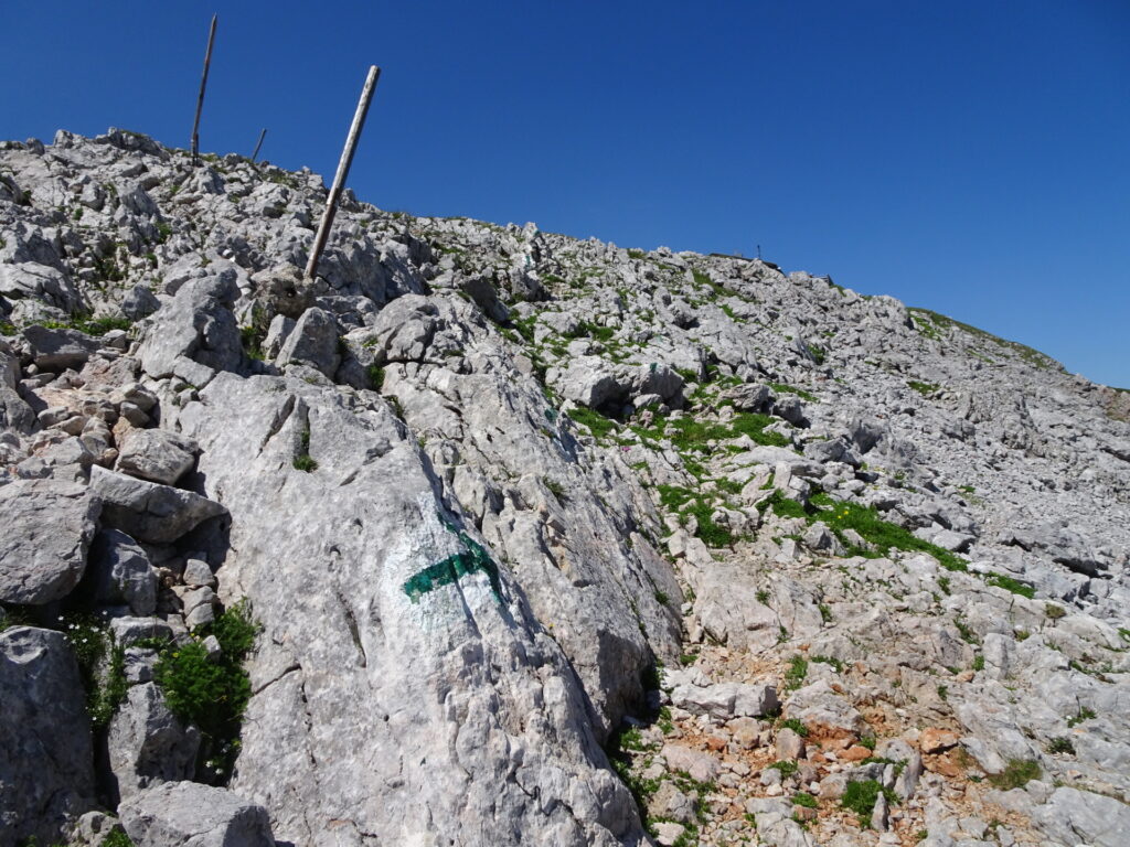
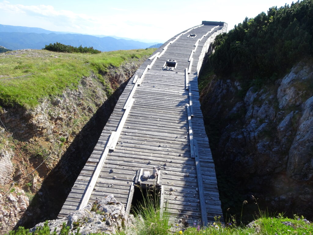
| 01:30 | Start climbing up the Novembergrat. Watch out for the rare and sometimes washed out red dots that mark the way up. |
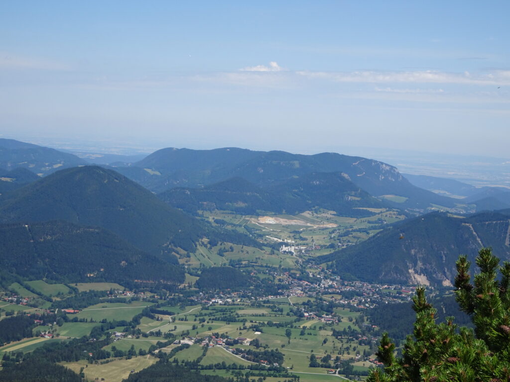
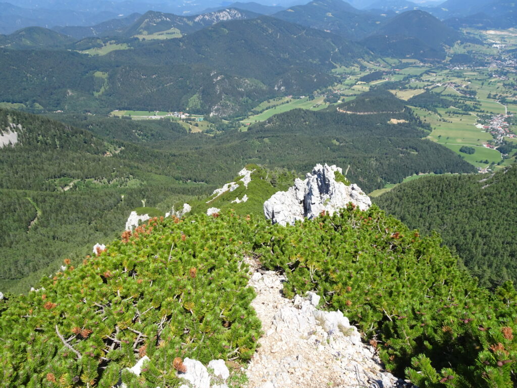
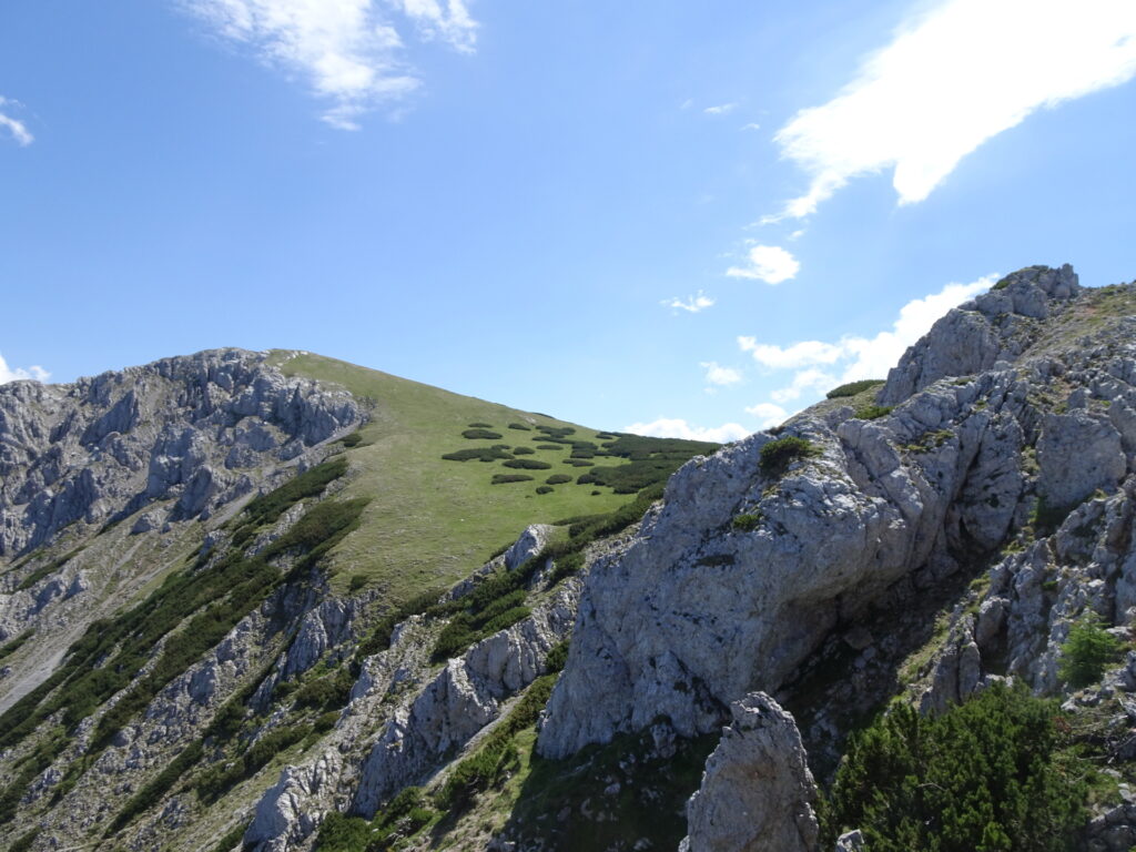
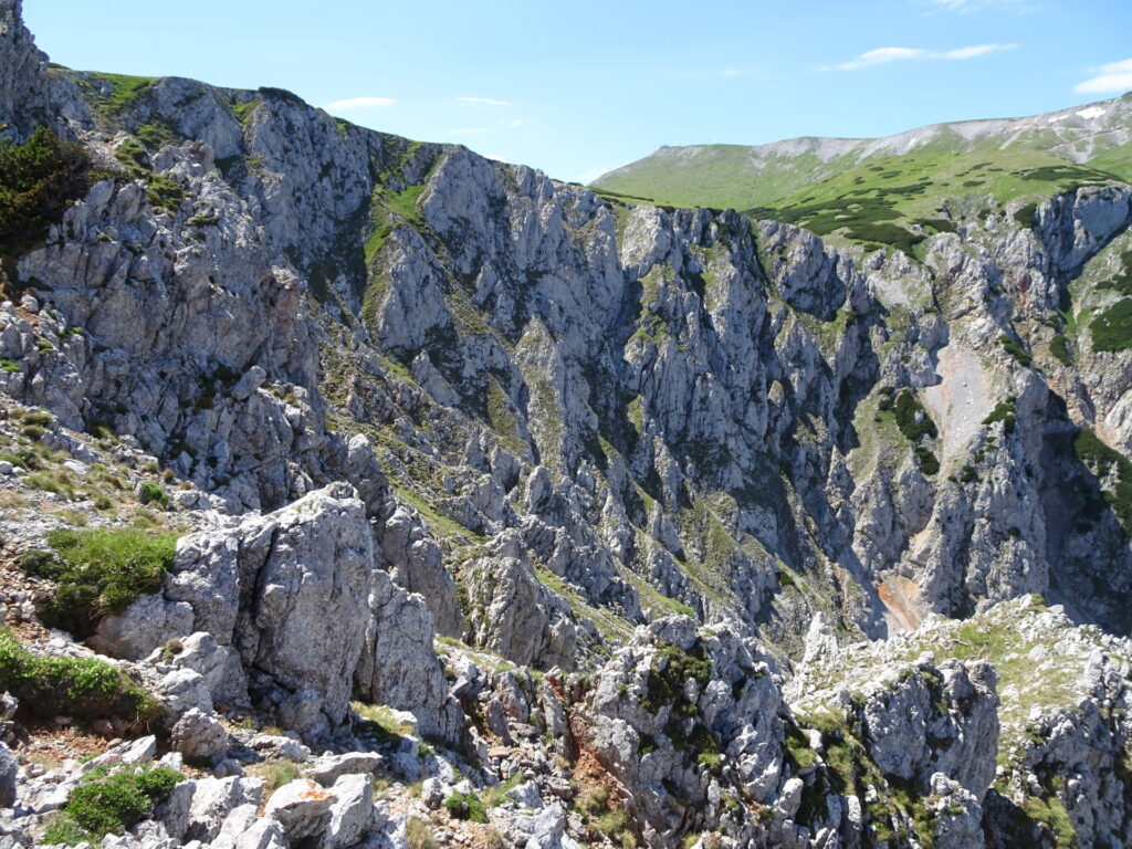
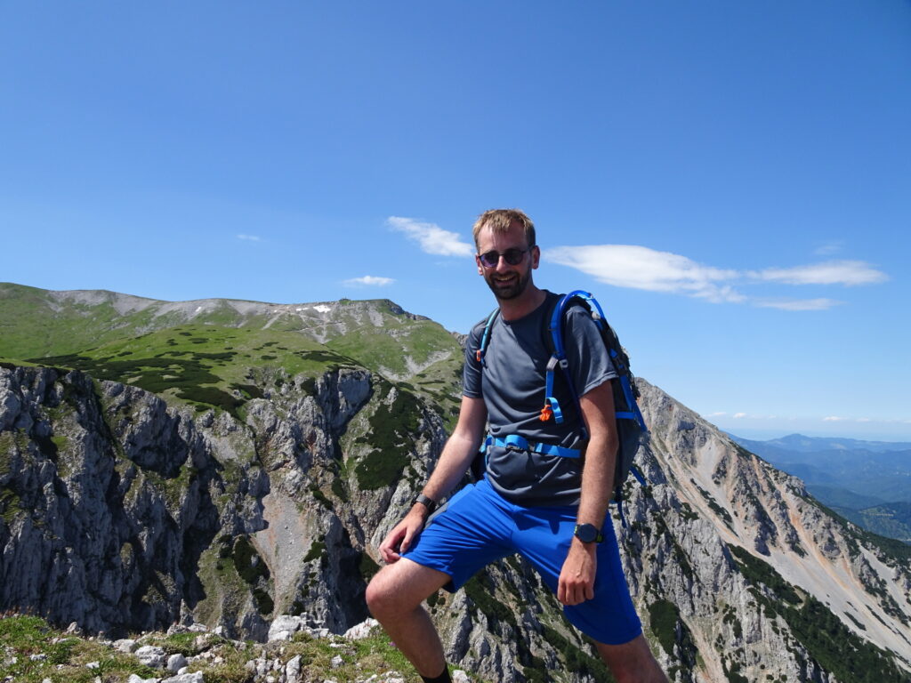
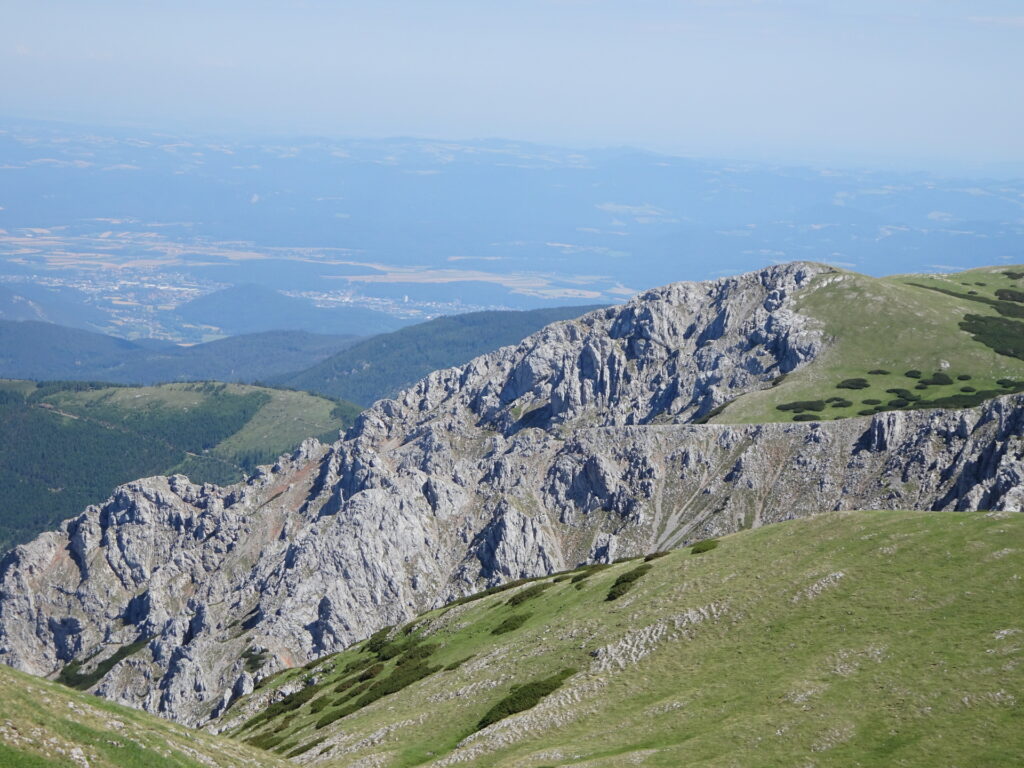
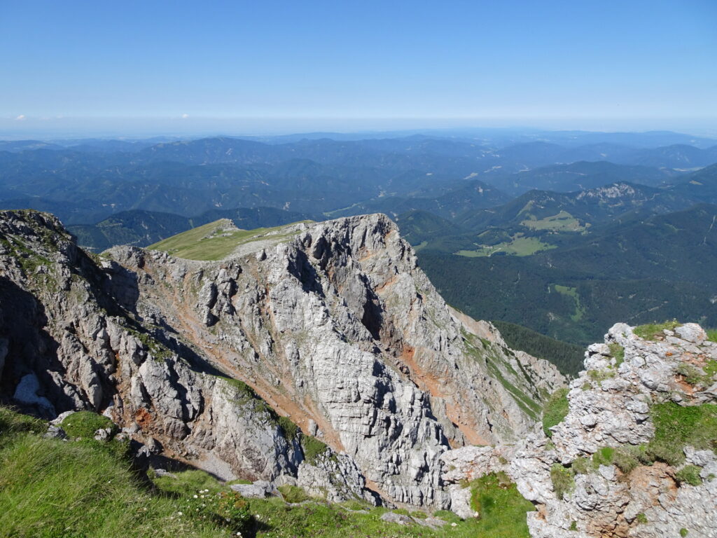
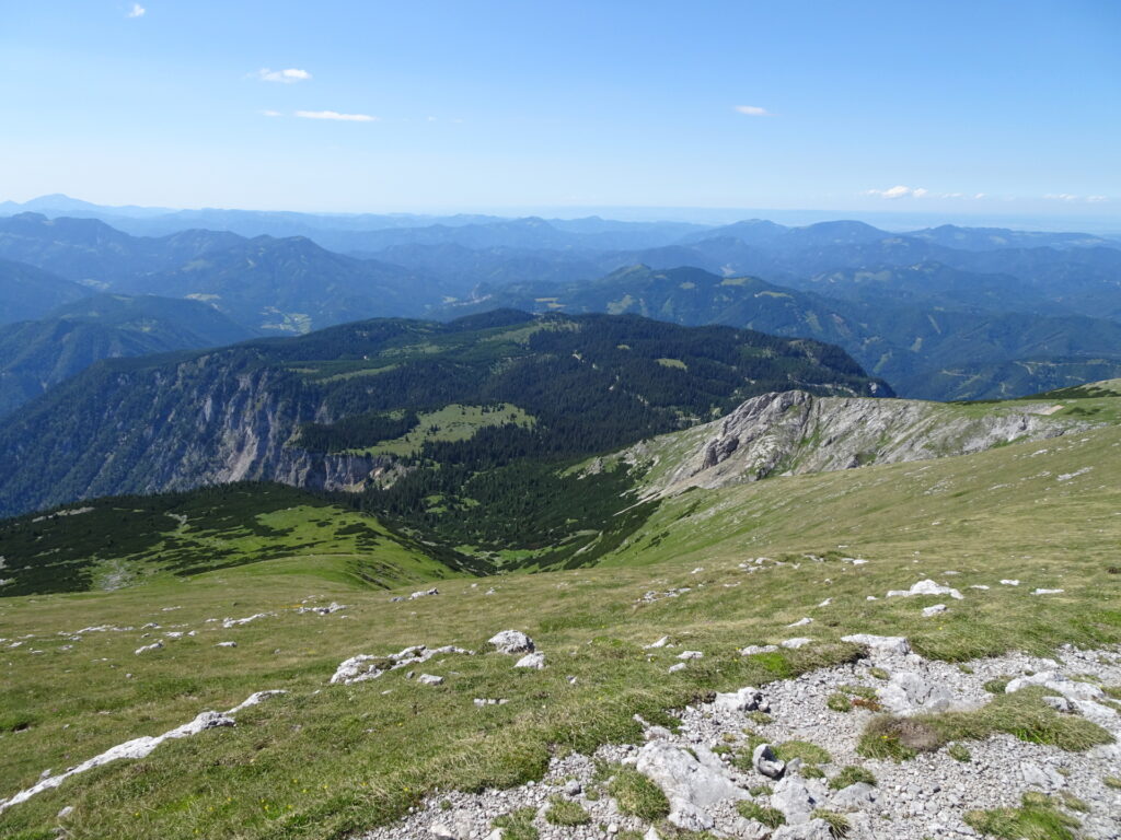
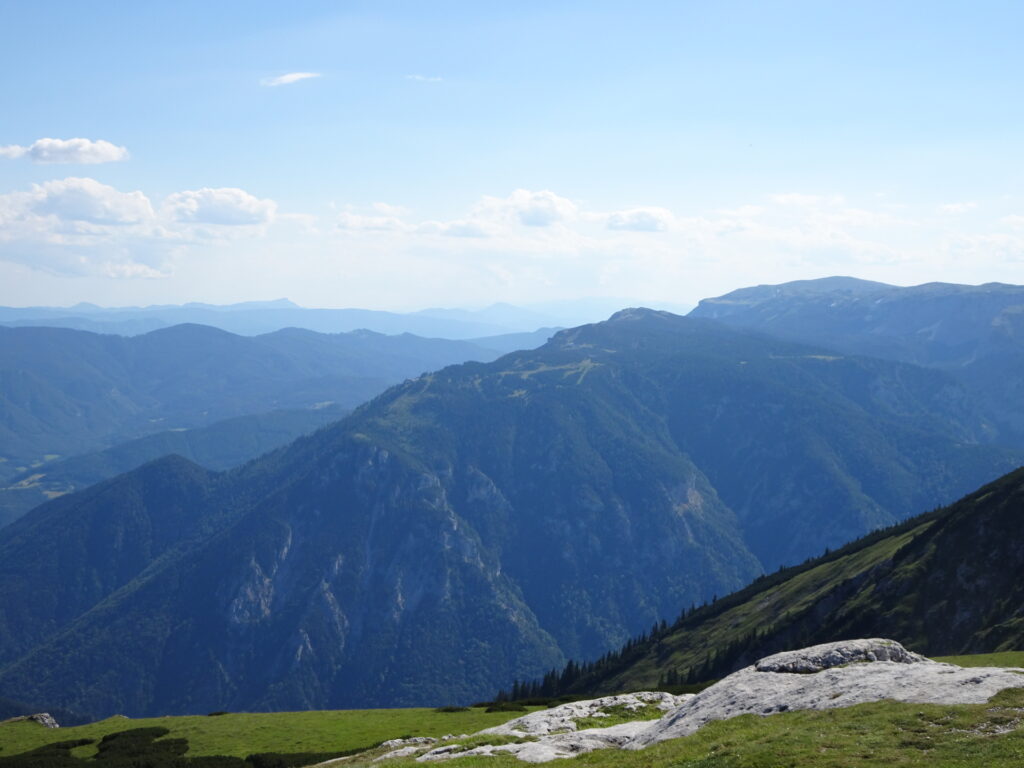
| 02:25 | Enjoy the amazing view from the end of the climbing route, best enjoyed with a self-brought refreshment (). |
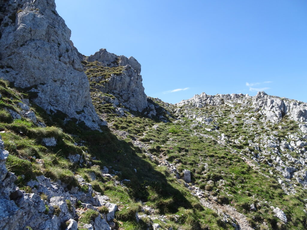
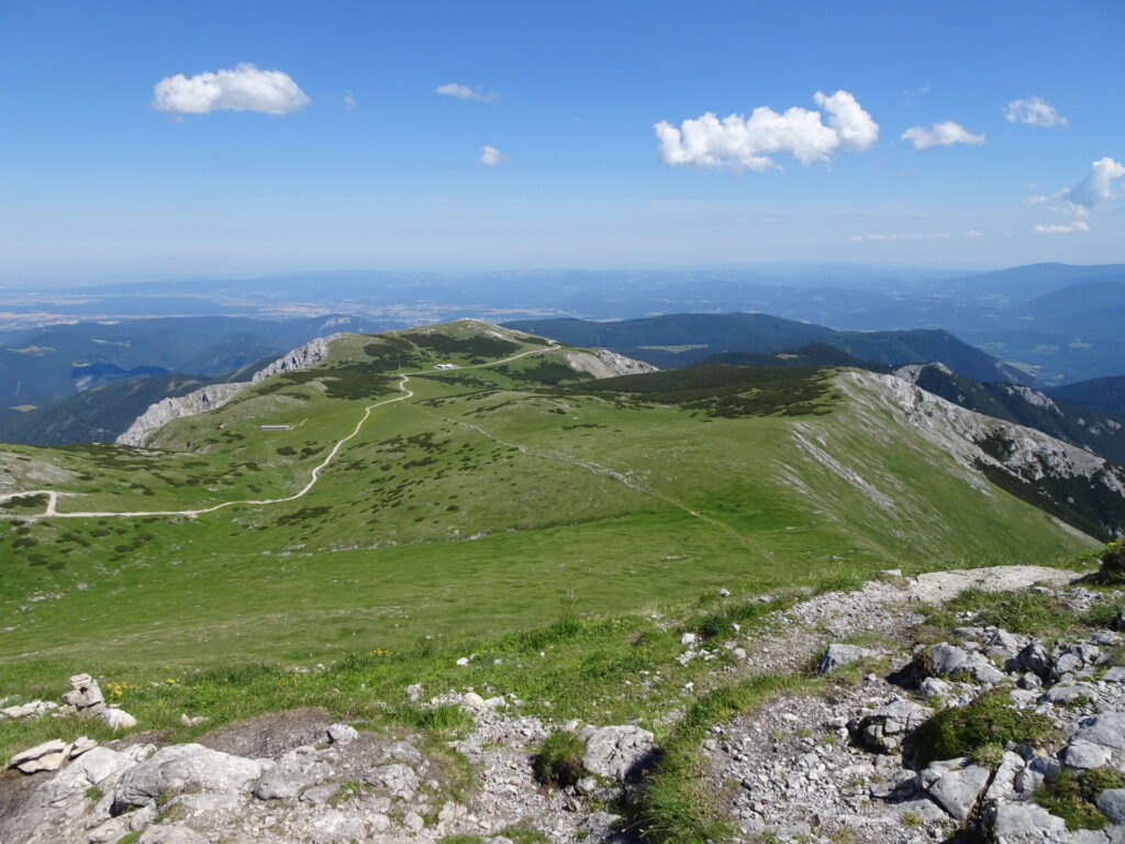
| 02:30 | Find your way through the mountain pasture westwards towards the visible gravel road heading up to Fischerhütte. |
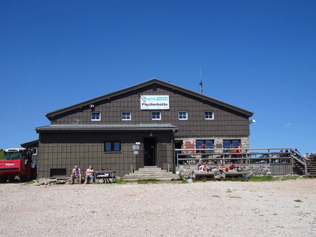
| 02:40 | Turn right and follow the gravel road which leads up to Fischerhütte. |
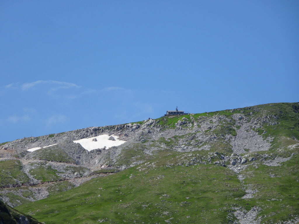
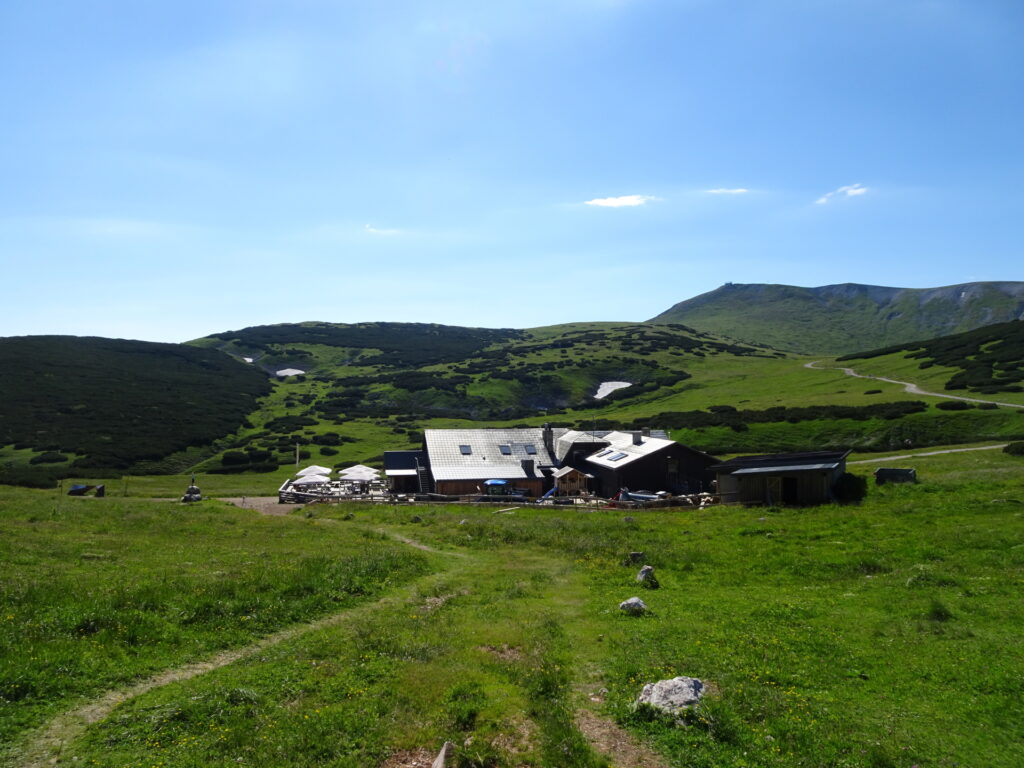
| 03:05 | Well-deserved break ( ) at Fischerhütte. |
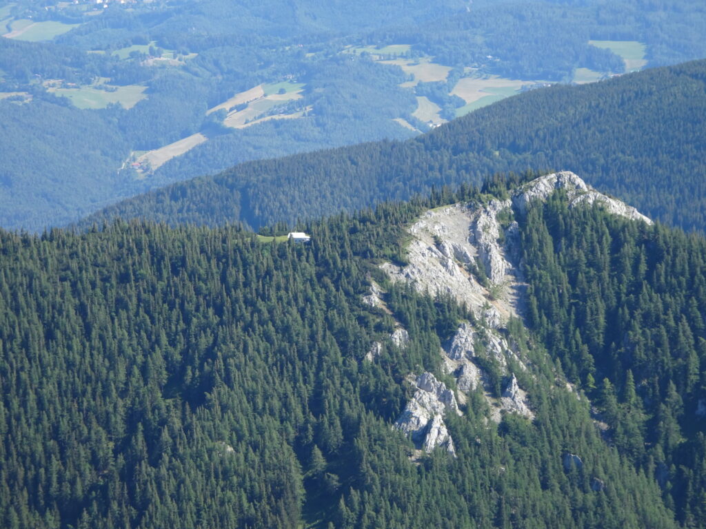
| 03:25 | Follow the trail behind the Fischerhütte northwards up to Kaiserstein summit. |
| 03:26 | Enjoy the view from Kaiserstein and then head back to Fischerhütte. |
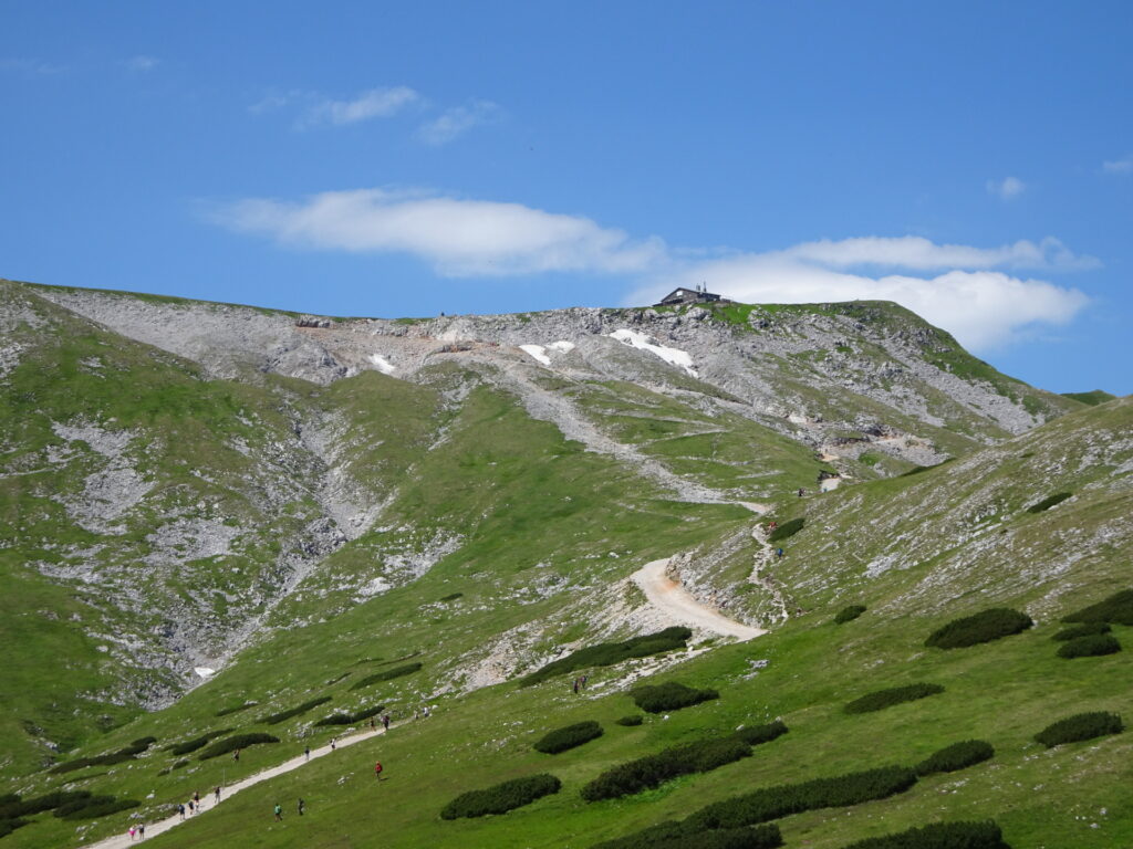
| 03:30 | At the Fischerhütte, keep slightly right and follow the marked trail up to Klosterwappen. |
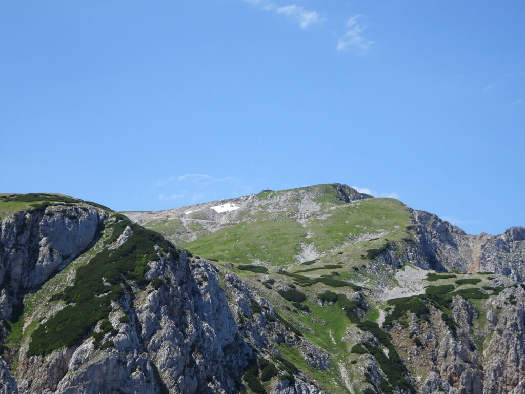
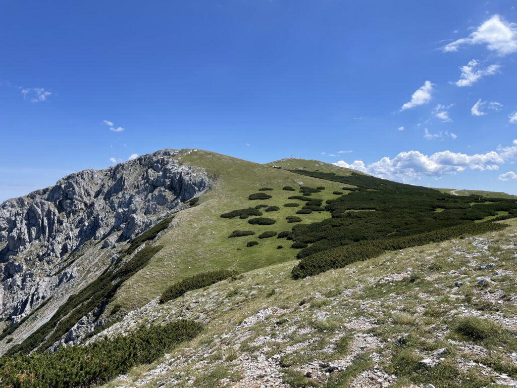
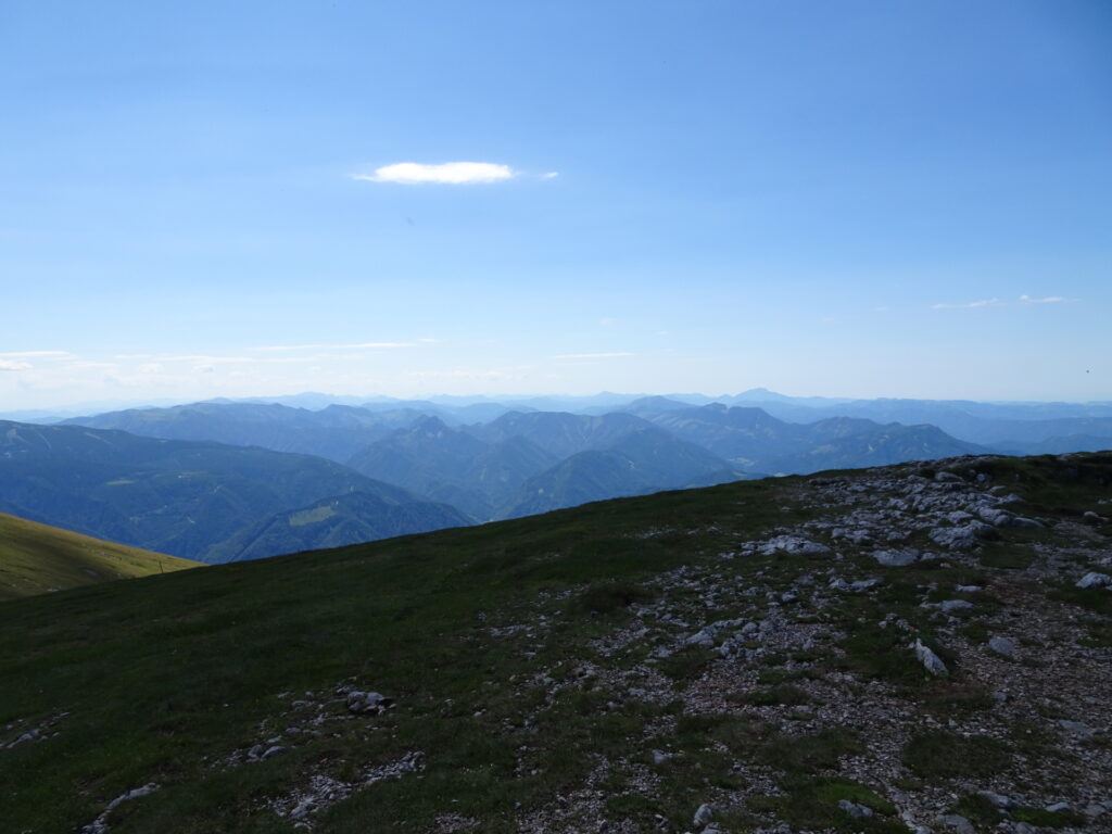
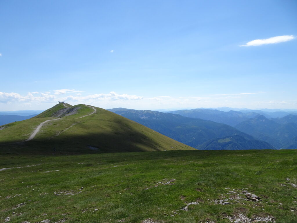
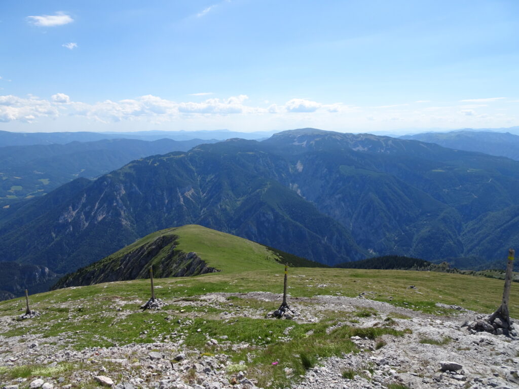
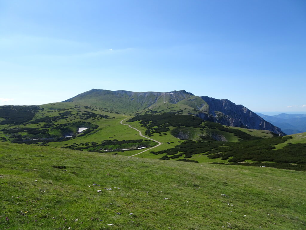
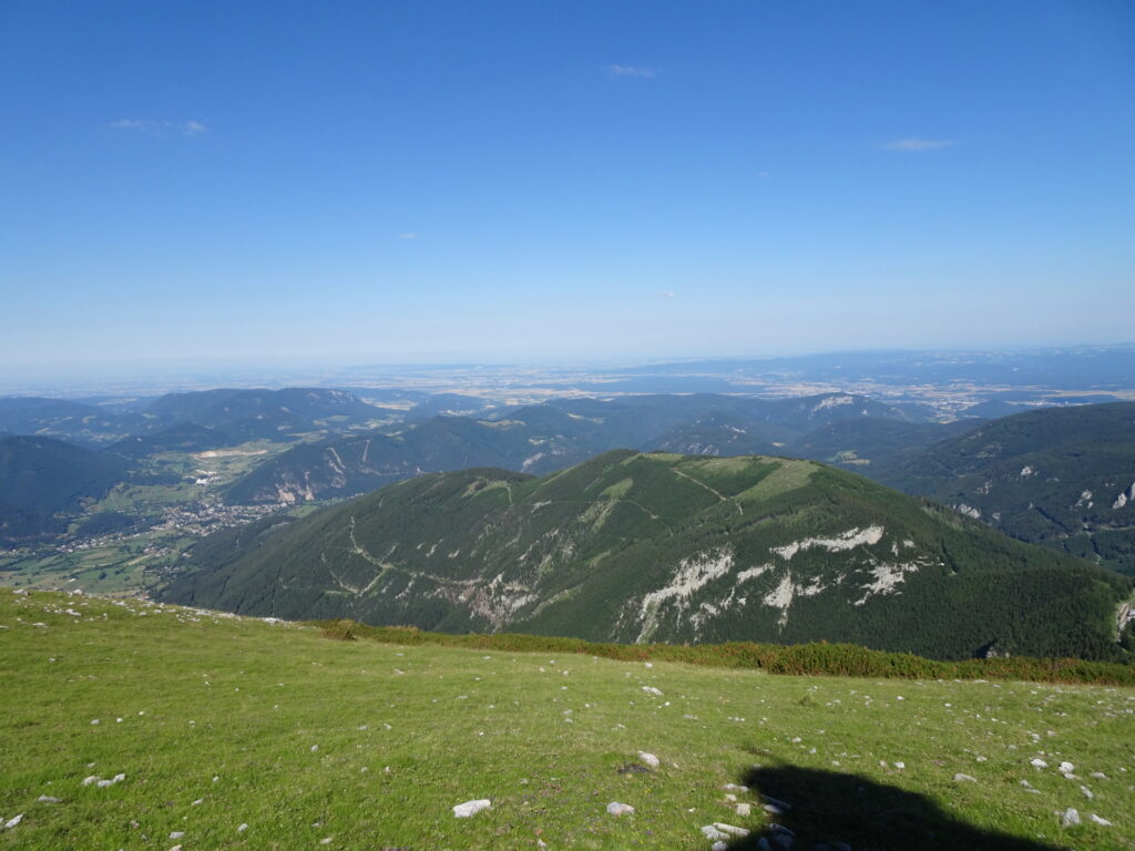
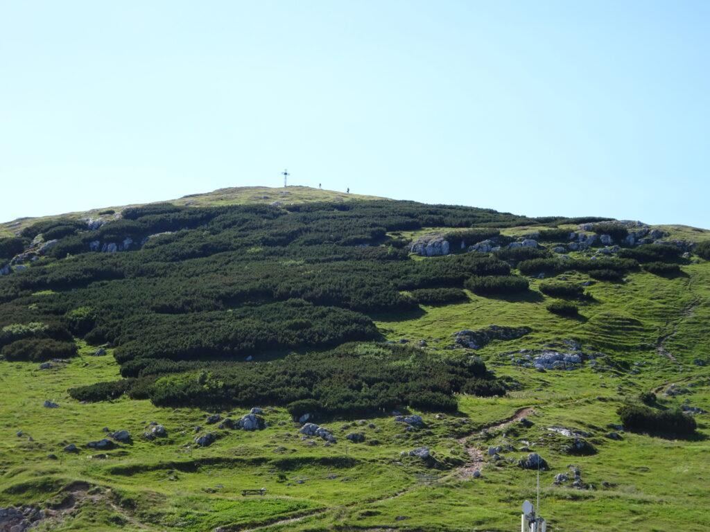
| 03:40 | Enjoy the view from the higest point of Schneeberg, the Klosterwappen. |
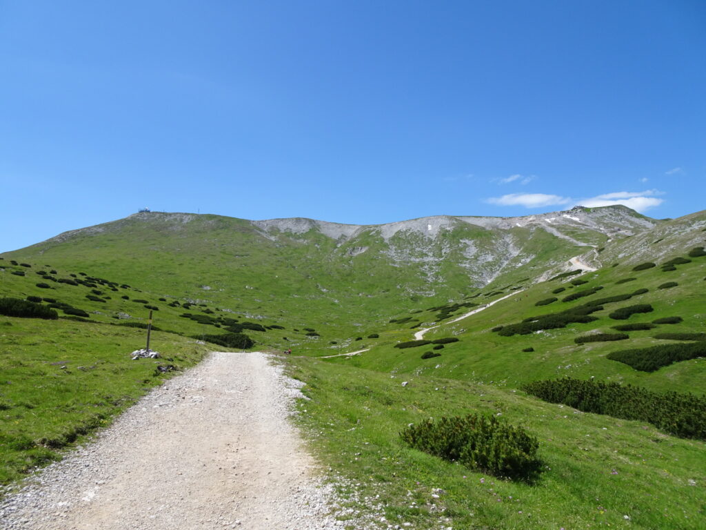
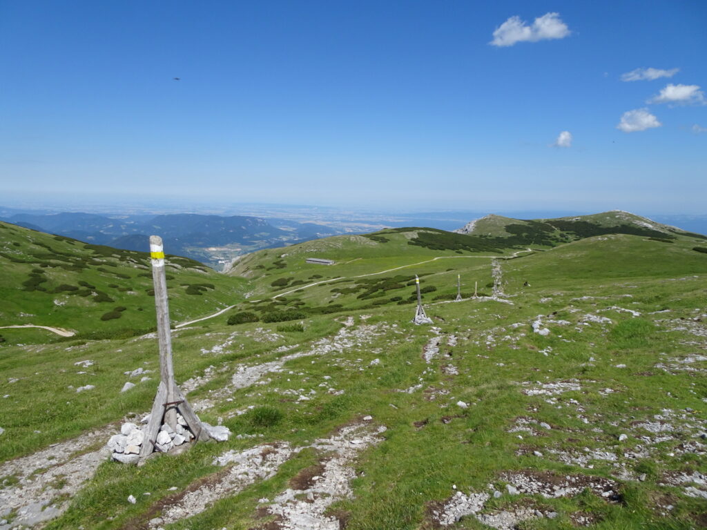
| 03:45 | Follow the trail down marked with big sticks with a yellow marking (around Klosterwappen and then eastwards). |
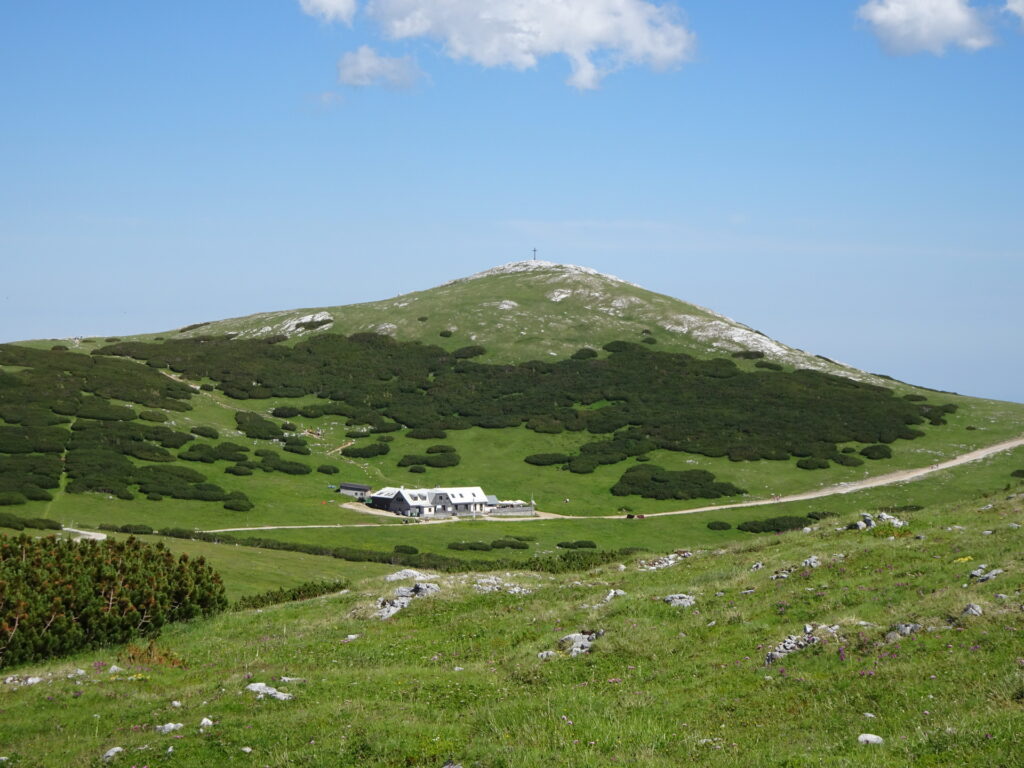
| 04:05 | Turn right and follow the gravel road towards Damböckhaus. |
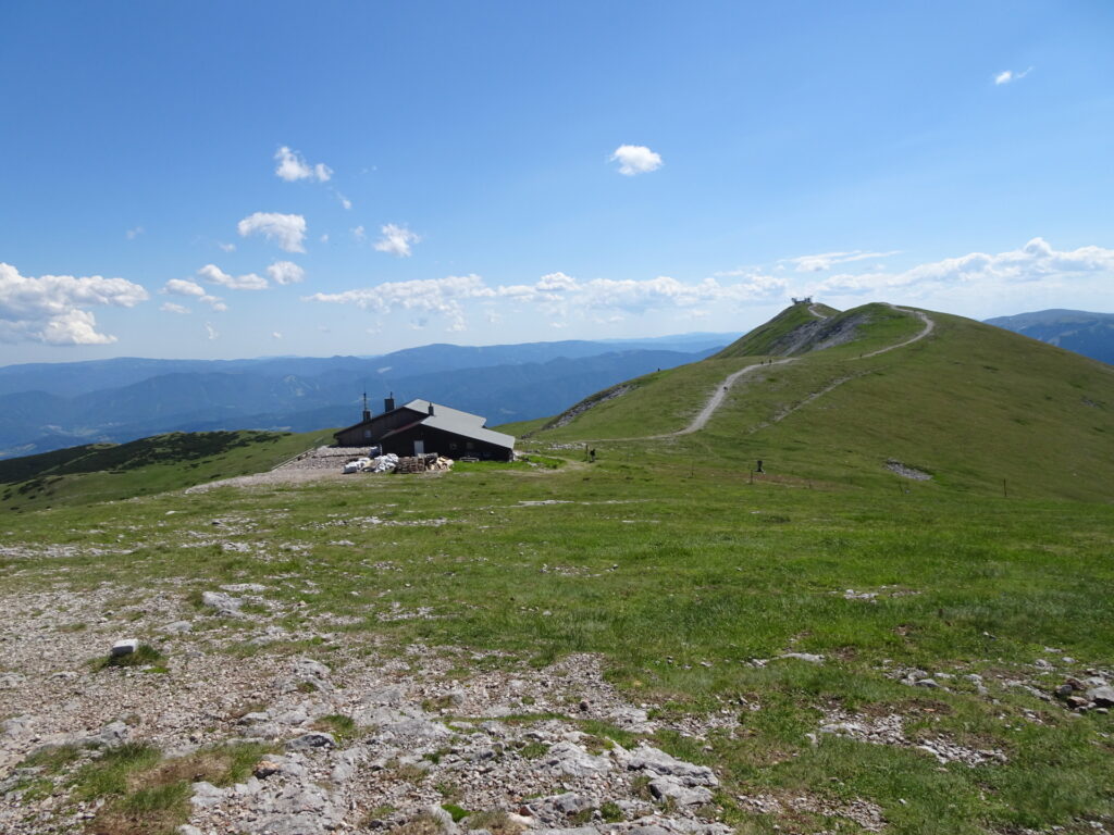
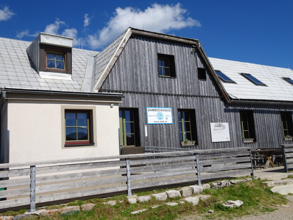
| 04:15 | Well-deserved break ( ) at Damböckhaus. |
| 04:55 | Follow the red marked trail eastwards up to Waxriegel summit. |
| 05:00 | At the crossing, turn right Follow the red marked trail eastwards up to Waxriegel summit. |
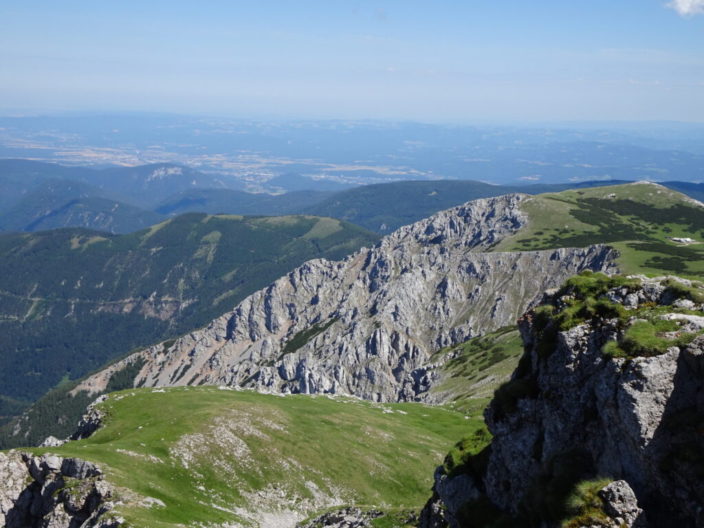
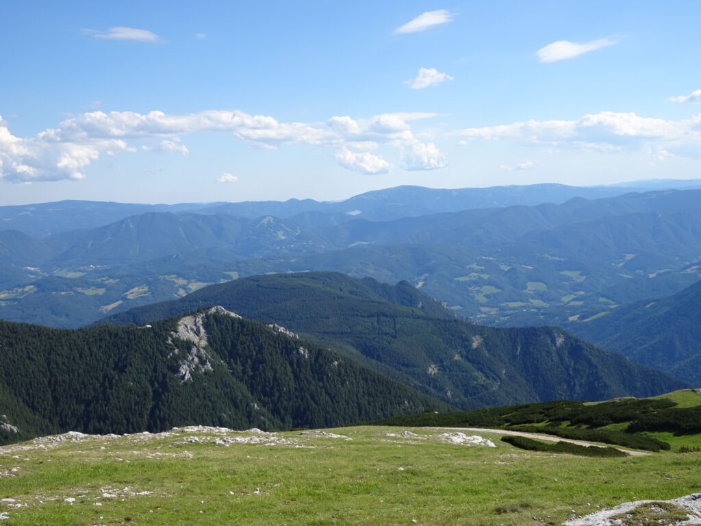
| 05:05 | Enjoy the view from Waxriegel and continue finding your way down to the gravel road (keep south). |
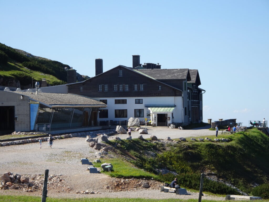
| 05:10 | Turn left and follow the gravel road towards the mountain station of the cog railway and Elisabethkirchlein. |
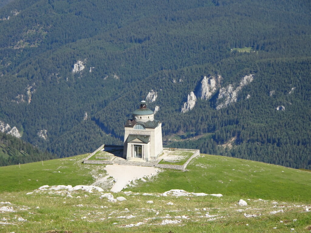
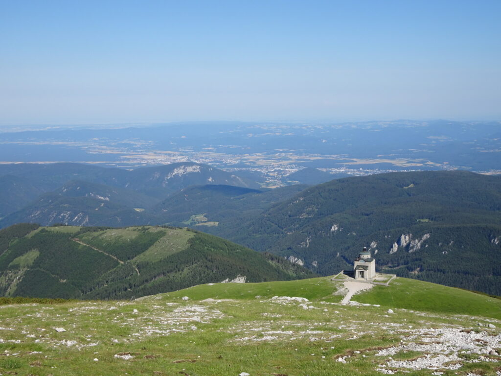
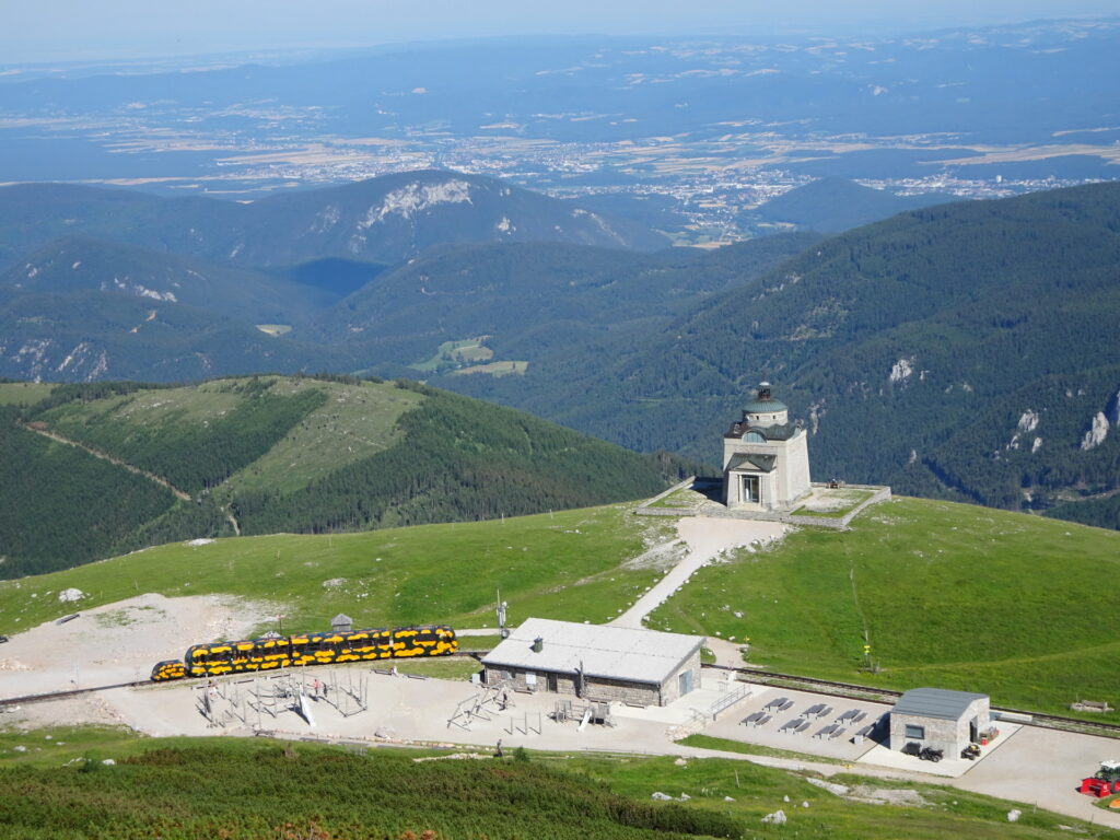
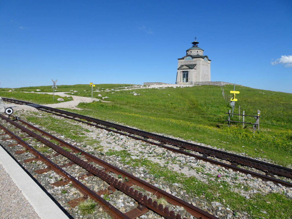
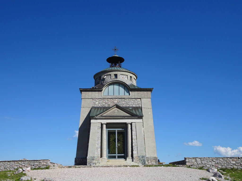
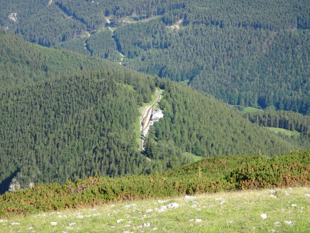
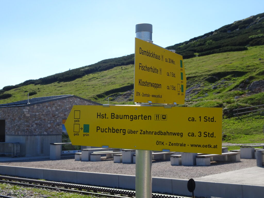
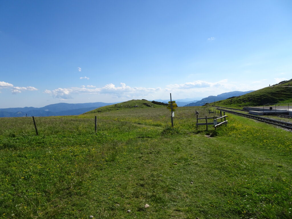
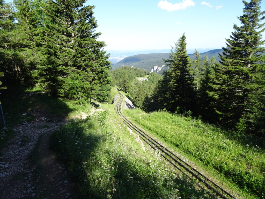
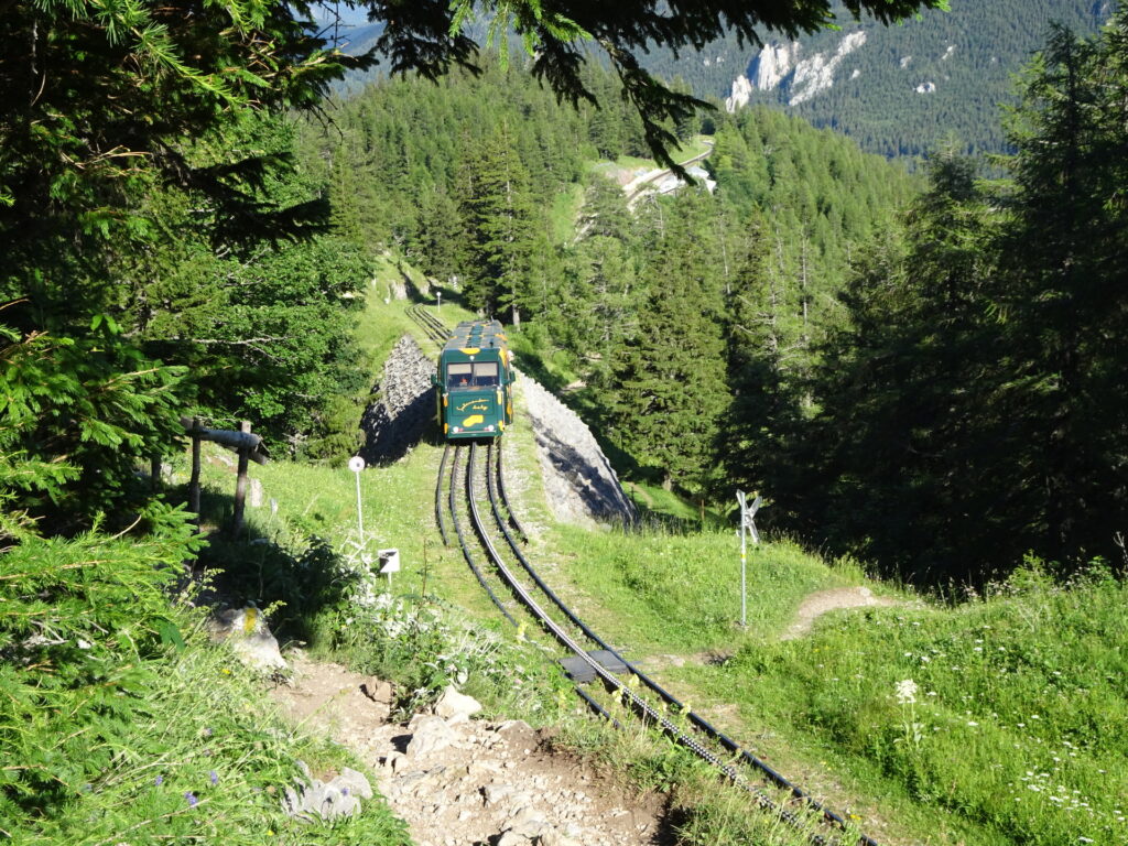
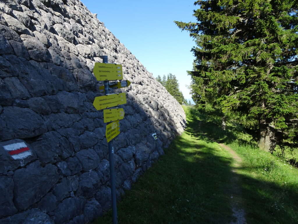
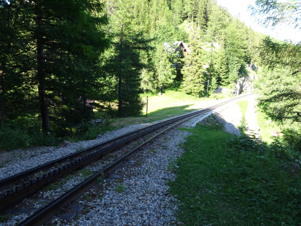
| 05:20 | Cross the railway track and visit Elisabethkirchlein. Then follow the yellow-marked trail towards Hst. Baumgarten (see signposts). |
| 05:40 | At the crossing, keep straight and keep on the yellow-marked trail towards Hst. Baumgarten. |
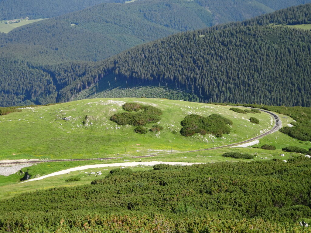
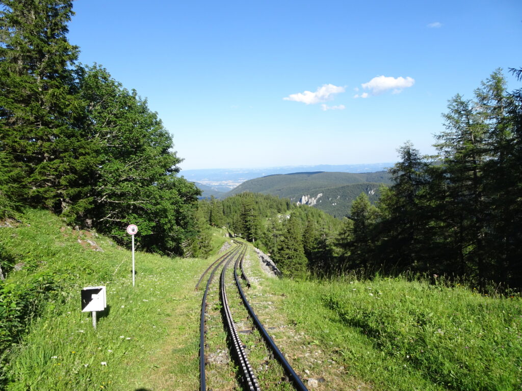
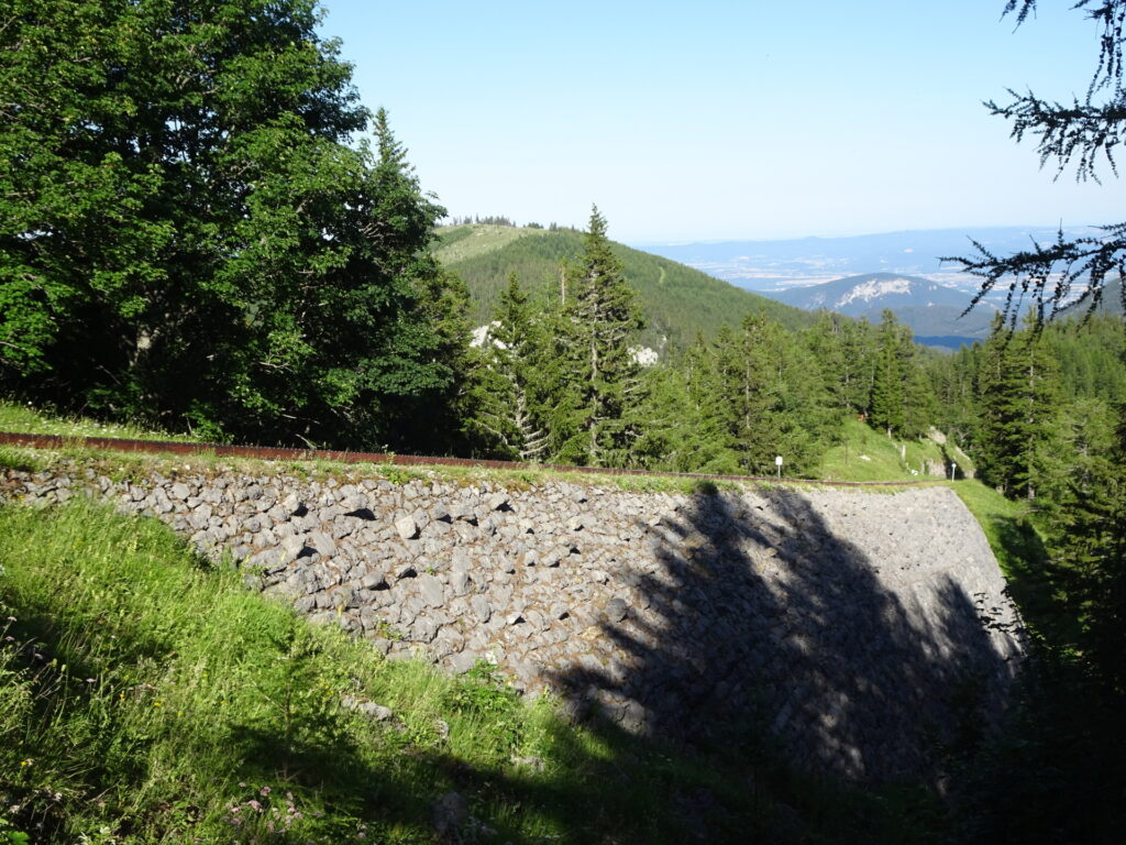
| 05:55 | At the crossing, keep straight and then cross the railway tracks. Stay on the yellow-marked trail towards Hst. Baumgarten (see signposts). |
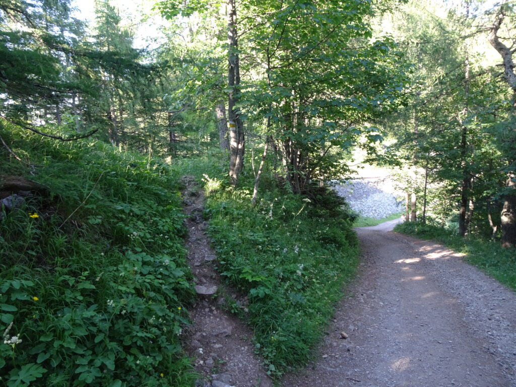
| 06:15 | Leave the gravel road and turn left into the yellow-marked trail crossing once again the railway track. |
| 06:16 | Turn left and continue following the yellow marked trail towards Schneebergdörfl (see signpost). |
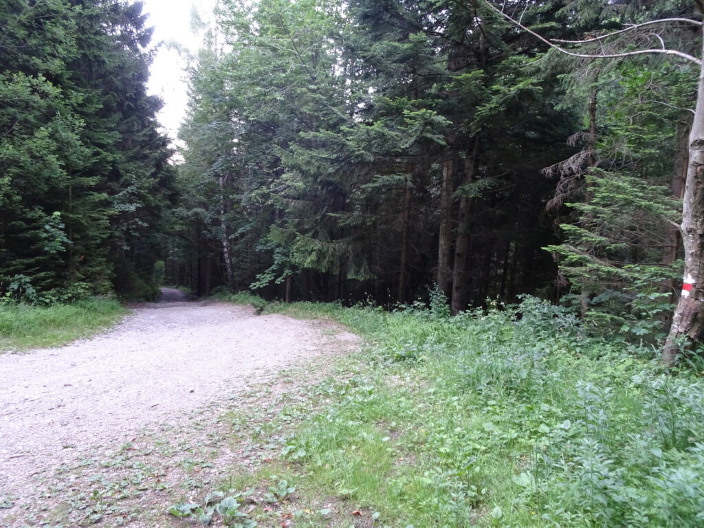
| 06:45 | Keep straight and follow the red marked forest road back to Schneebergdörfl. |
| 07:05 | Back in Schneebergdörfl, end of the tour. |
| Area: | Rax/Schneeberg Group, Lower Austria, Austria | |
| Distance: | 17km | |
| Ascent: | 1530m (3h 30min) | |
| Descent: | 1490m (2h 50min) | |
| Highest Pt: | 2074m | |
| Lowest Pt: | 717m | |
| Duration: | 6h 00min (without breaks) 7h 05min (with breaks) |
|
| Stop/Rest: | Fischerhütte (2049m) Damböckhaus (1809m) |
|
| Equipment: | Hiking shoes with good grip (on rock) Backpack with standard hiking equipment Snacks and plenty(!) of water 1-2x “Gipfelbier” () Sun & Weather protection Camera |
| Download GPX | ||
| O | Tour at outdooractive.com |
At a glance
| Level | difficult |
| – UIAA Level (Climbing) | I+ |
| Technique | |
| Shape / Fitness | |
| Experience | |
| Scenery | |
| Best time in the year | |
|
Jan
Feb
Mar
Apr
May
Jun
Jul
Aug
Sep
Oct
Nov
Dec
|
|














Leave a Reply