
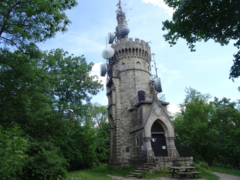
Hike up Hermannskogel, the highest peak of Vienna with its iconic viewing platform, the Habsburgwarte
The tour starts at the (small) parking of Kahlenbergdorf and first follows the well-known Nasenweg up to Leopoldsberg. The tour then follows a trail through a public game hunting ground to Gnadenkapelle and then further to Agnesbrünnl via the Vogelsangberg. After a well-deserved break at Agnesbrünnl, the tour follows a small trail that leads directly up to the Hermannskogel and its viewing platform. After a break at the Habsburgwarte, the tour follows the Grenzweg downwards. After a short detour via the Cobenzl, the tour then finally descends back in the city area of Vienna but uses the trails through the vineyards back to Kahlenbergdorf.
Tour Description
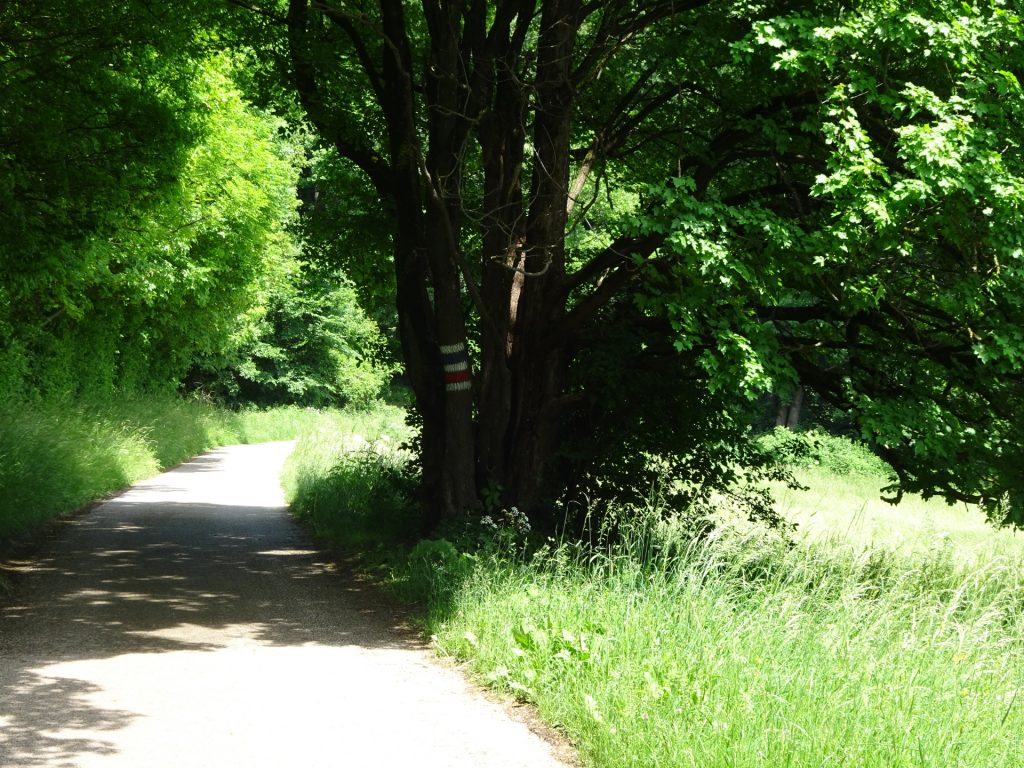
| 00:00 | Start at the small (limited) parking Kahlenbergdorf (GPS: 48.275489, 16.355231), and first follow the red marked Nasenweg trail northwestwards up. |
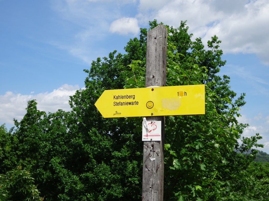
| 00:20 | At the crossing, turn right and follow the Stadtwanderweg 1a (see wooden signpost). |
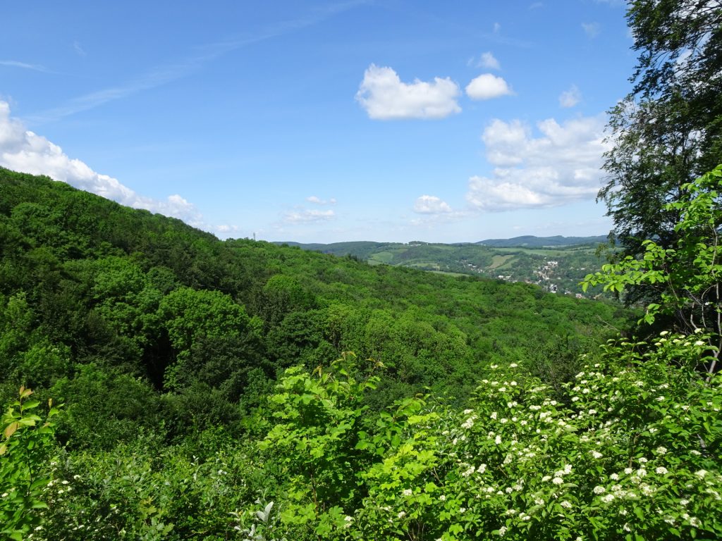
| 00:25 | Enjoy the view from Leopoldsberg Continue following the trail westwards and follow the red marked trail next to the Höhenstraße street. |
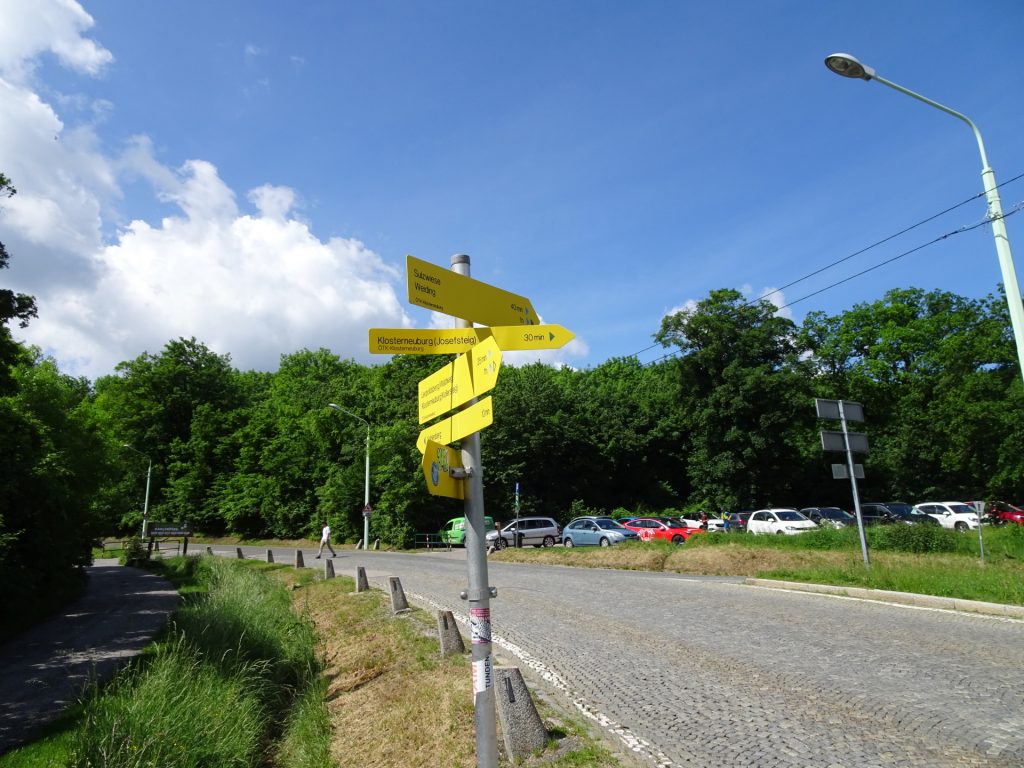
| 00:35 | Hike through the climbing fun park Kahlenberg and continue following the trail till reaching the Elisabethwiese (opposite the parking). |
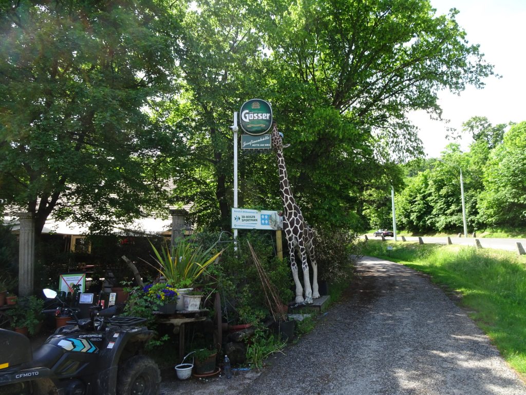
| 00:40 | Well deserved break () at the Josefinenhütte. |
| 01:00 | Cross the street and follow the blue marked trail through the public game hunting ground on the opposite side of the hut (behind the parking area). |
| 01:05 | At the crossing, keep right and follow the blue marked trail. |
| 01:25 | Keep left and follow the trail along the cemetery. |
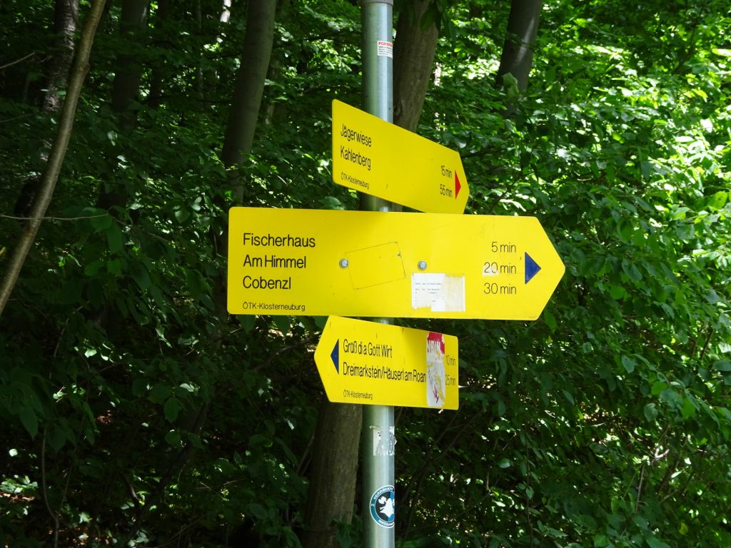
| 01:30 | At the crossing, turn slightly right and follow the red marked trail southwards towards Jägerwiese / Hermmannskogel. |
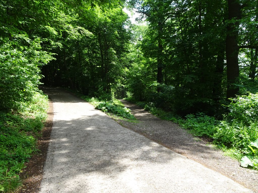
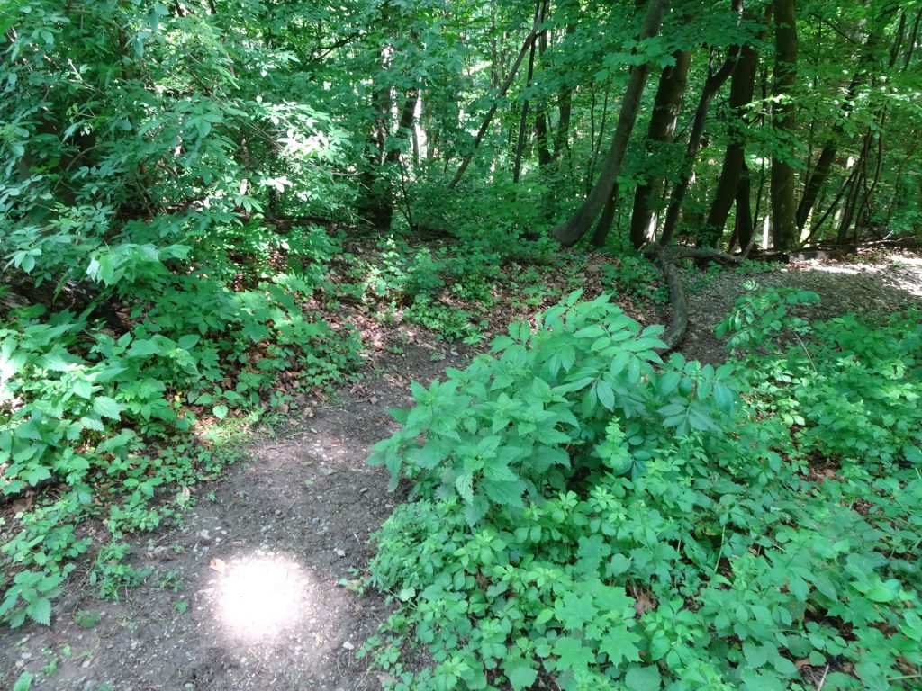
| 01:40 | At the crossing, turn left and leave the street and follow the small trail heading up to Vogelsangberg. |
| 01:45 | Bypass the Vogelsangberg and follow the trail back to the Hermannskogelweg (westwards). |
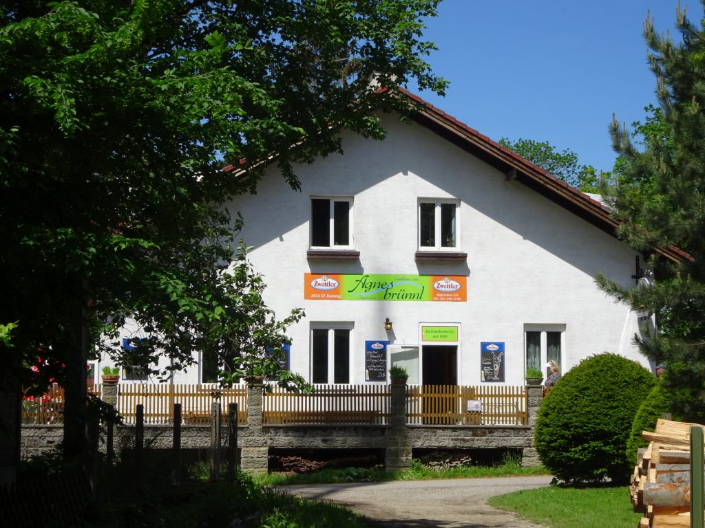
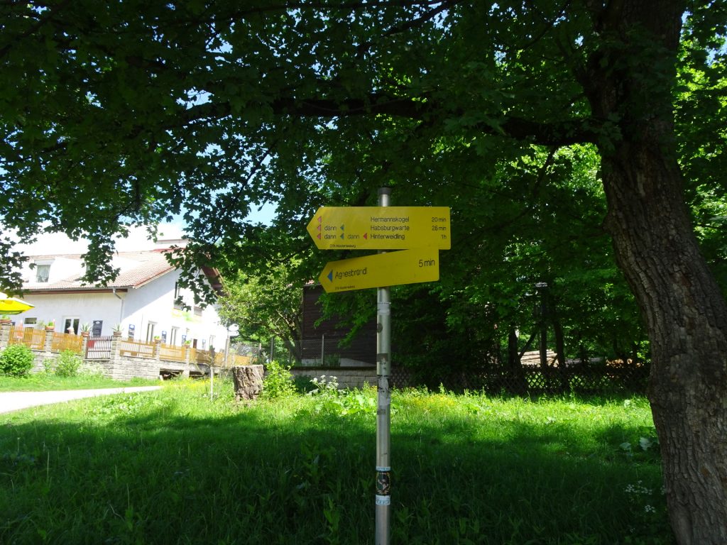
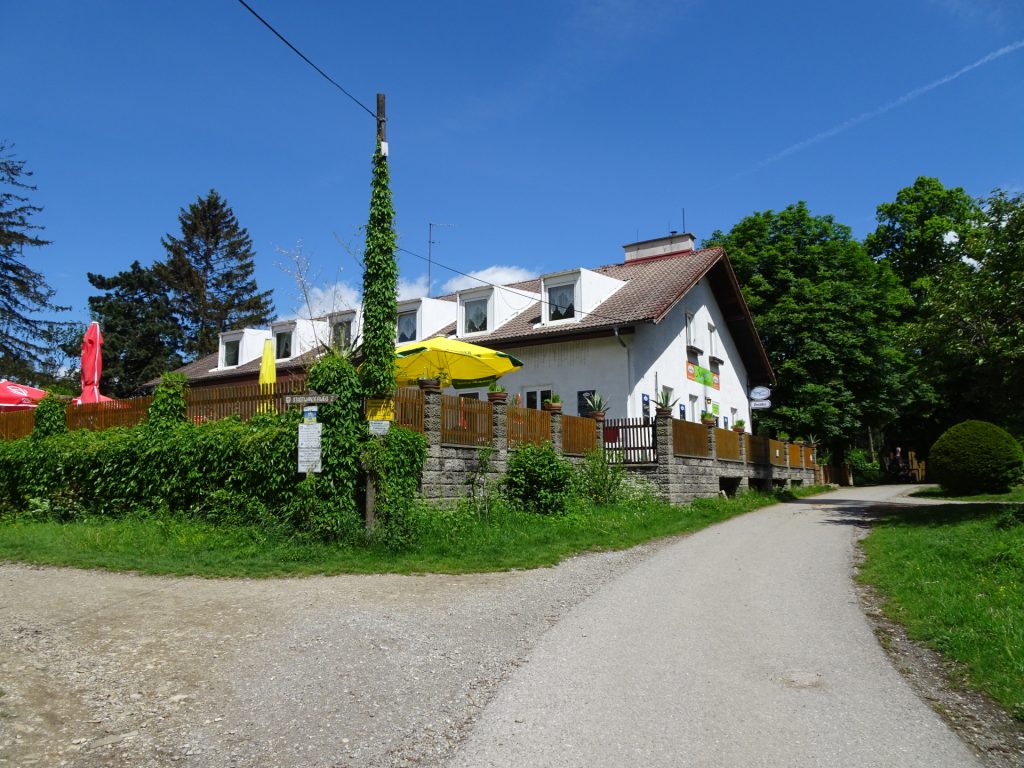
| 01:55 | At the crossing, turn right towards Gasthaus zum Agnesbrünnl. |
| 01:56 | Well deserved break ( ) at Gasthaus zum Agnesbrünnl. |
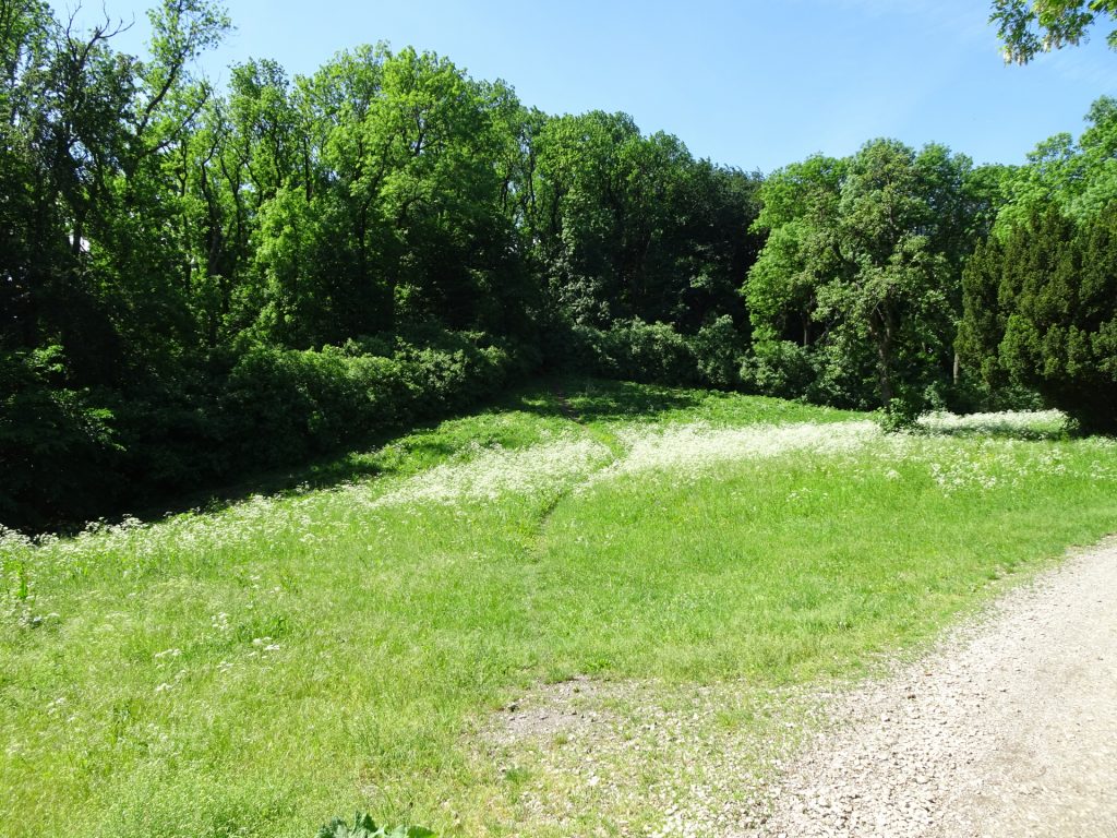
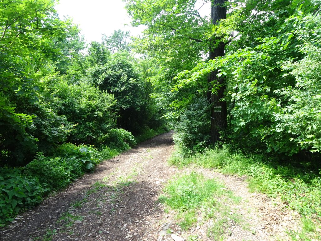
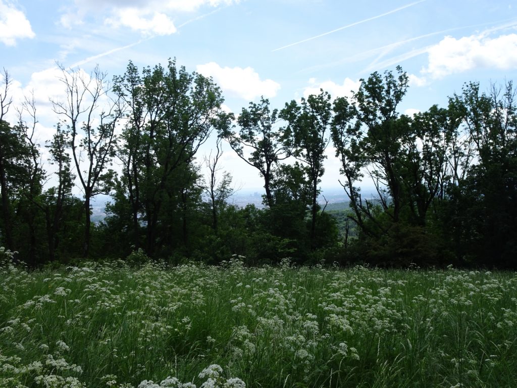
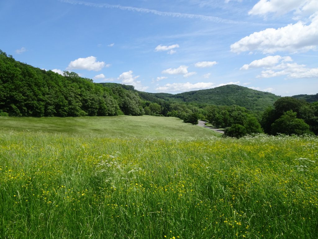
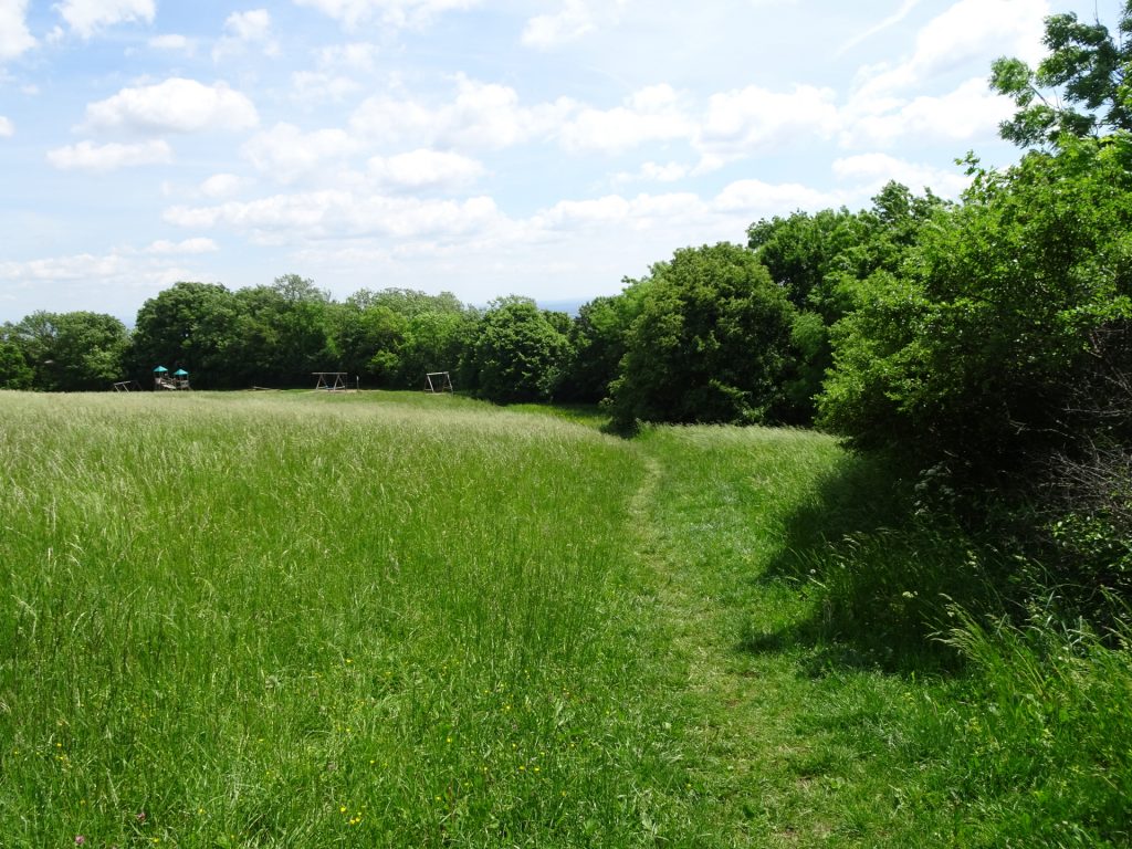
| 02:40 | Follow the trail through the meadow opposite the restaurant up towards Hermannskogel. |
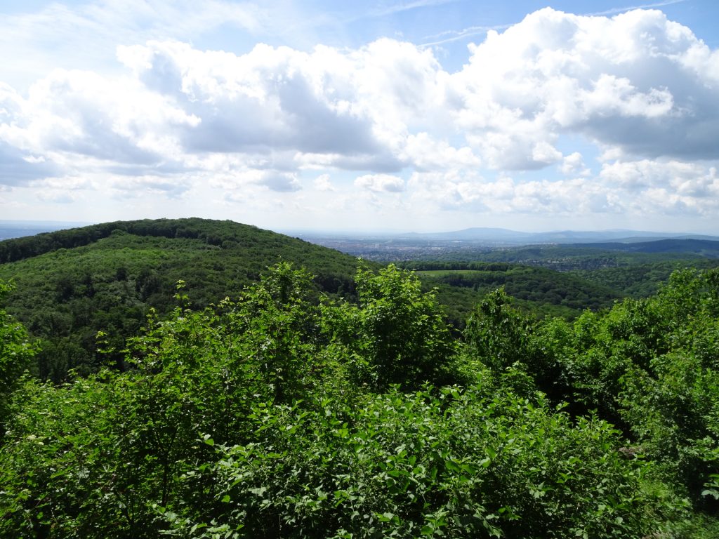
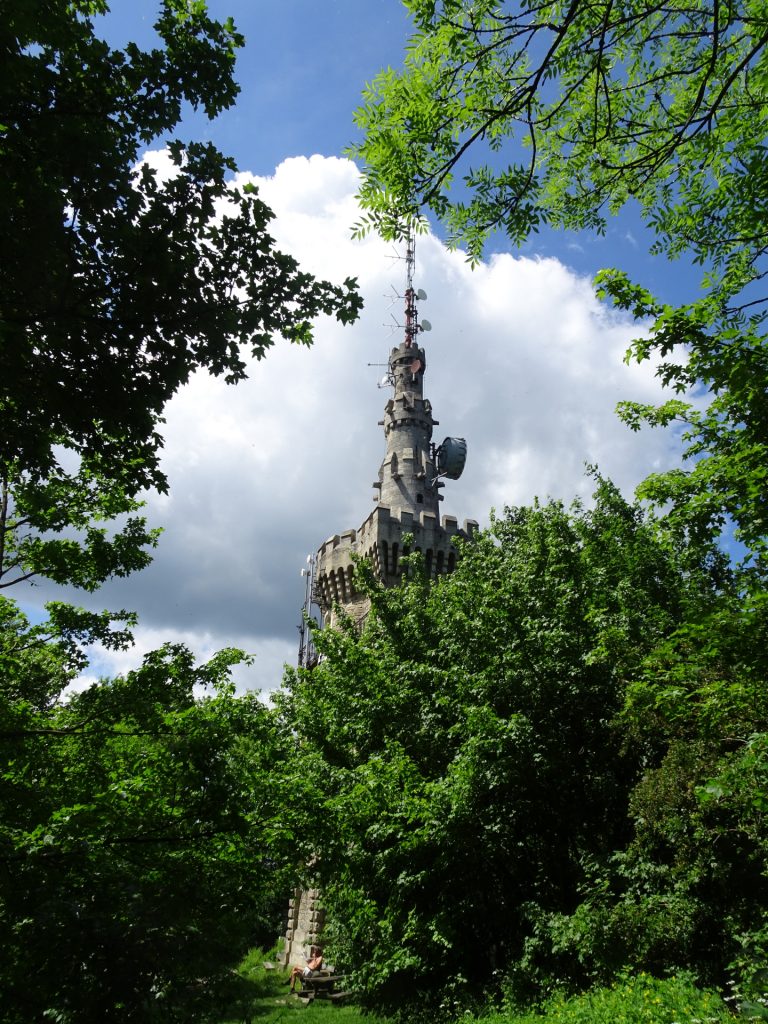
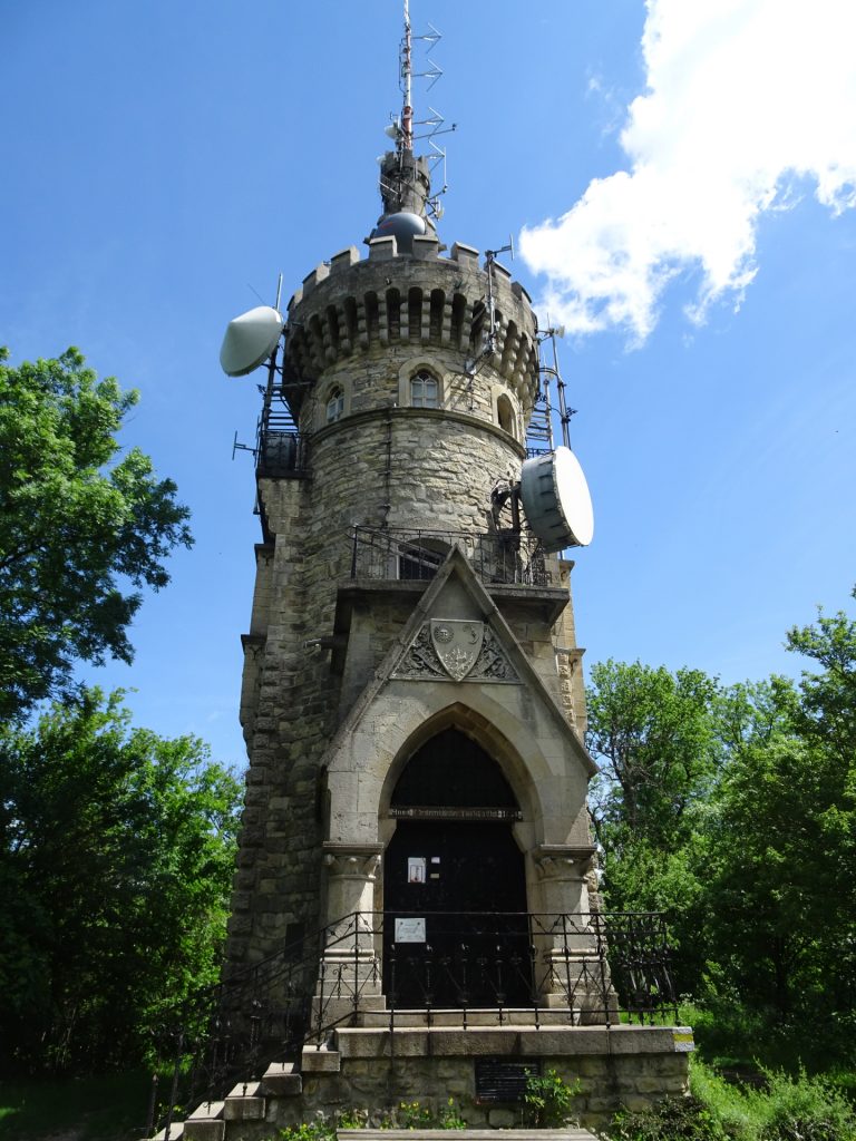
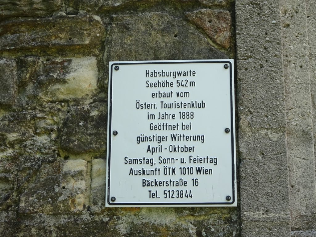
| 02:50 | Visit the Habsburgwarte viewing platform and enjoy the view from there. |
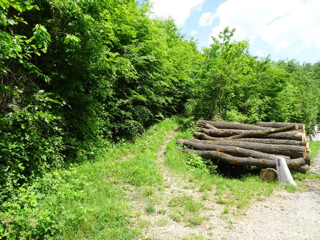
| 03:10 | Continue following the green marked trail westwards and then follow the forest road downwards. |
| 03:20 | At the crossing, turn left and follow the trail eastwards (red marked trail). |
| 03:25 | Keep right and follow the trail towards Cobenzl. |
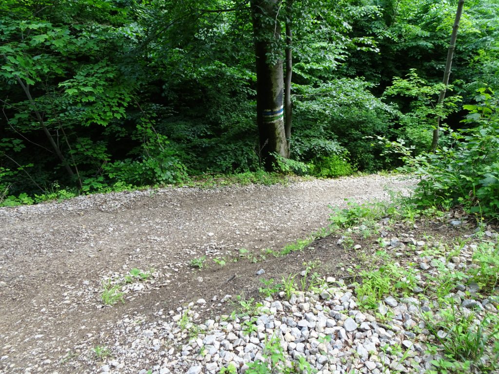
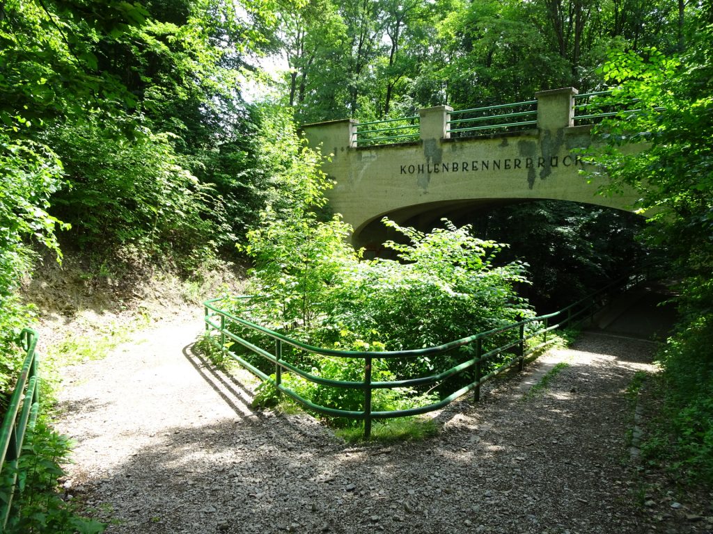
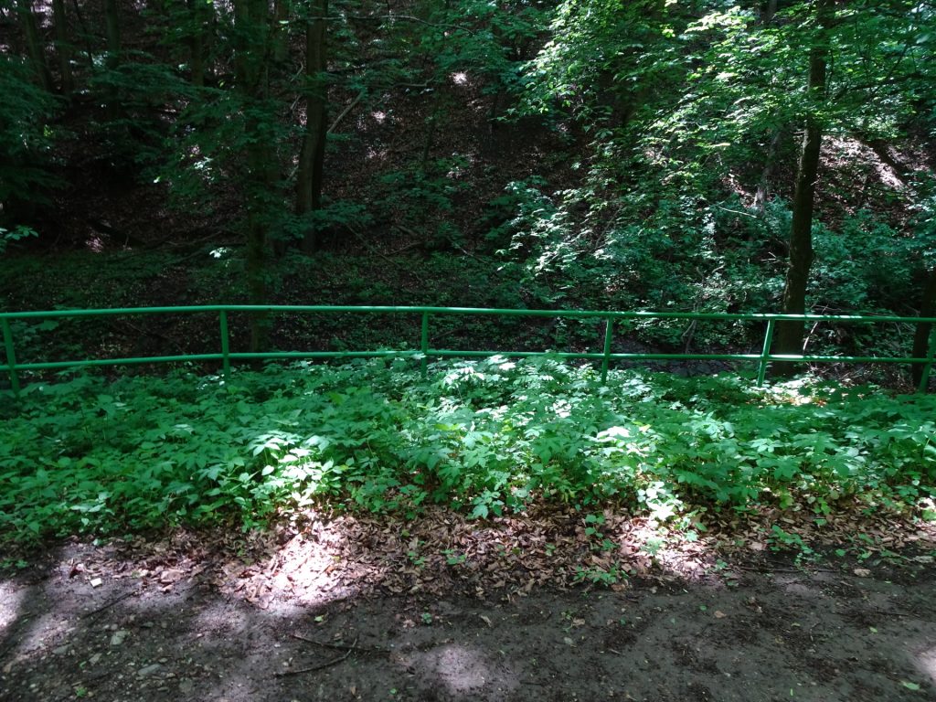
| 03:30 | At the crossing, turn sharply right into the blue and green marked trail heading towards the bridge. |
| 03:35 | Before the bridge, turn left and follow the blue marked trail towards Cobenzl. |
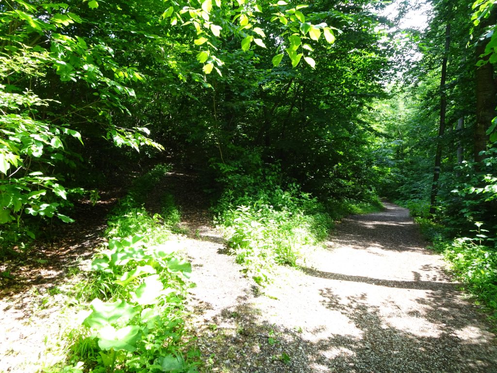
| 03:40 | At the crossing, leave the marked trail and follow the small trail up to the street. Cross the street and continue following the small trail northeastwards. |
| 03:50 | At the big crossing, turn right but follow the unmarked small trail on the left hand-side through the forest heading to Cobenzl. |
| 03:55 | After the bypassing the summit of Cobenzl, continue following the trail south downwards till reaching the meadow. |
| 04:00 | At the meadow keep right and head towards the vineyard. |
| 04:02 | Bypass the Cobenzl-vineyard and turn left at the crossing till reaching the Waldgrill. |
| 04:05 | Refresh () yourself at the Waldgrill. |
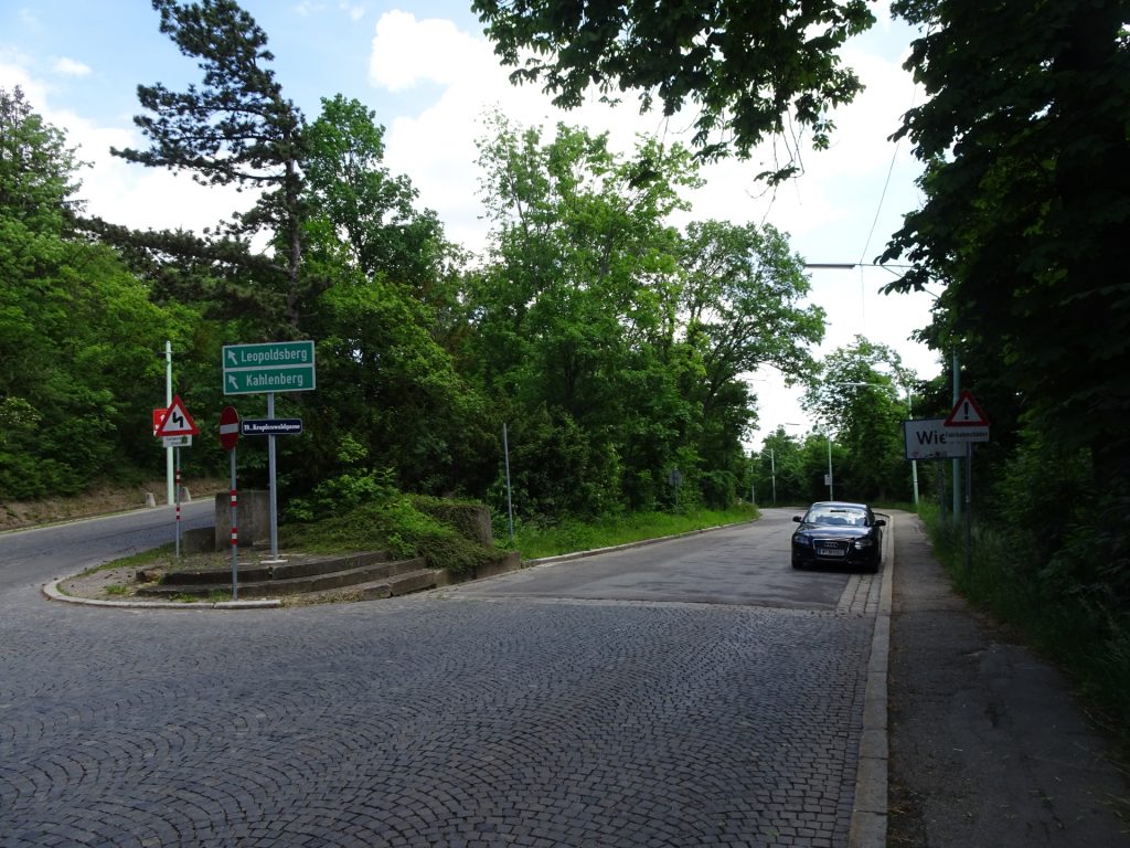
| 04:15 | Turn left and follow the road northwards in direction Kahlenberg. |
| 04:20 | At the crossing, turn sharply right and then left and follow the trail through the forest downwards. |
| 04:30 | Turn right and follow the trail towards the street. |
| 04:35 | Cross the street and follow the lower road back into the city of Vienna. |
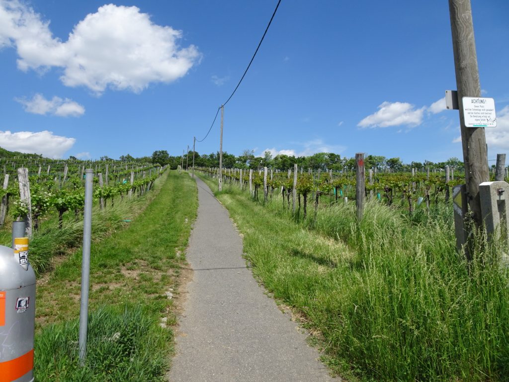
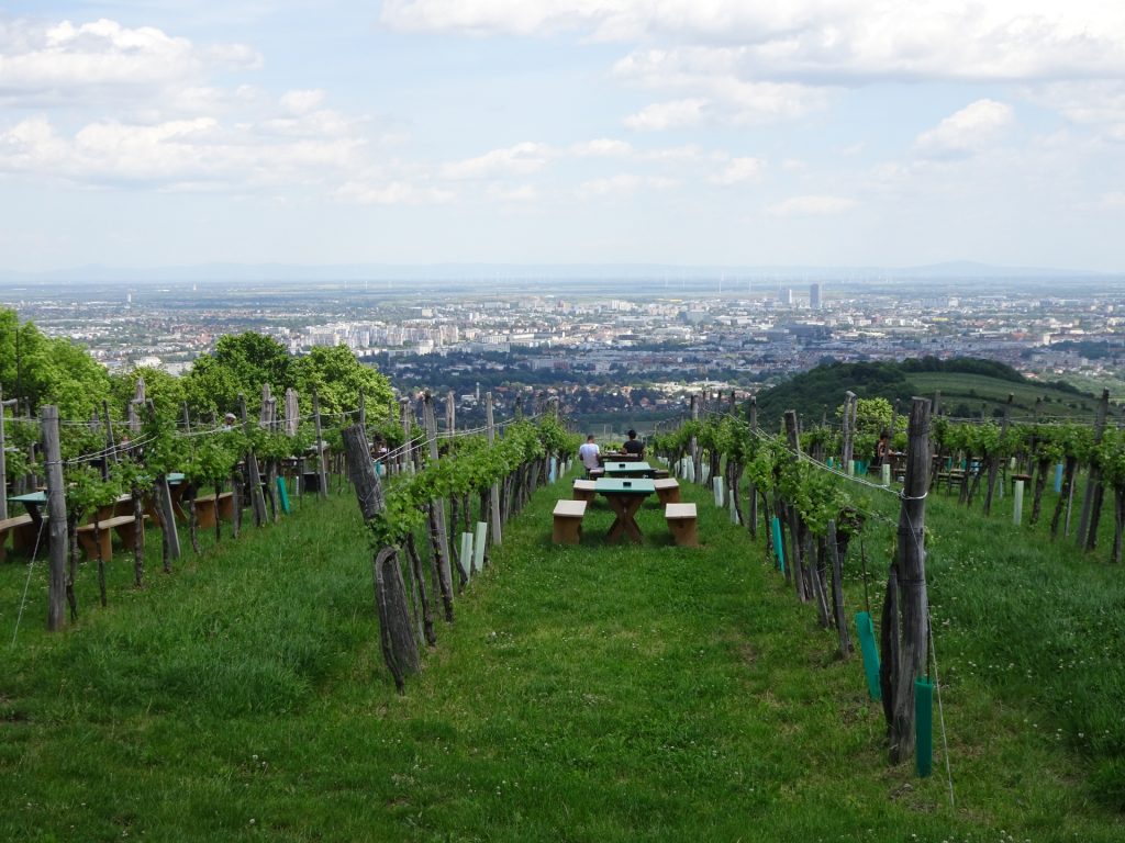
| 04:40 | Turn left at Krapfenwaldbad and follow the small trail through the vineyards northeastwards. |
| 04:50 | Turn left at the crossing and follow the trail through the vineyard upwards. |
| 04:55 | Turn right at the end of the street and now follow the street downwards heading directly back to Kahlenbergdorf. |
| 05:05 | Back at Kahlenbergdorf, end of the tour. |
General Tour Data
| Area: | Wien, Vienna, Austria | |
| Distance: | 15,5km | |
| Ascent: | 705m (1h 55min) | |
| Descent: | 695m (1h 40min) | |
| Highest Pt: | 554m | |
| Lowest Pt: | 168m | |
| Duration: | 4h 00min (without breaks) 5h 05min (with breaks) |
|
| Stop/Rest: | Josefinenhütte (441m) Gasthaus zum Agnesbrünnl (452m) Fischerhaus (389m) Waldgrill (382m) |
|
| Equipment: | Comfortable hiking shoes Backpack with standard hiking equipment Snacks and plenty of water Optional: 1x Gipfelbier () Sun & Weather protection Camera |
| Download GPX | ||
| O | Tour at outdooractive.com |
At a glance
| Level | moderate |
| Technique | |
| Shape / Fitness | |
| Experience | |
| Scenery | |
| Best time in the year | |
|
Jan
Feb
Mar
Apr
May
Jun
Jul
Aug
Sep
Oct
Nov
Dec
|
|













Leave a Reply