
Promising tour up to Schöckl, starting from castle Ehrenfels via Novystein and Zwölferkogel
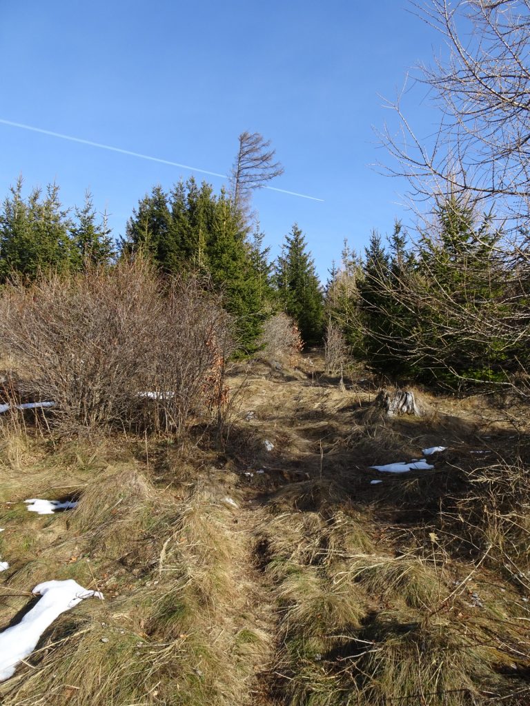
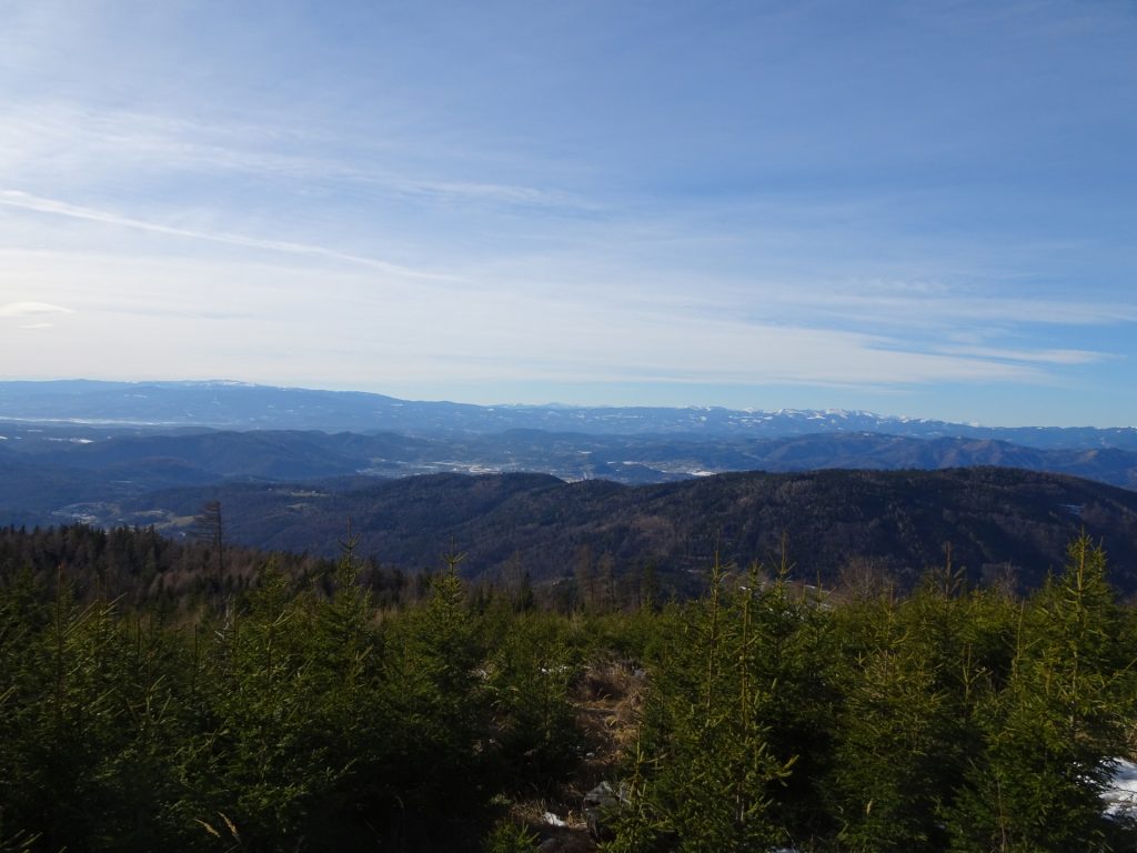
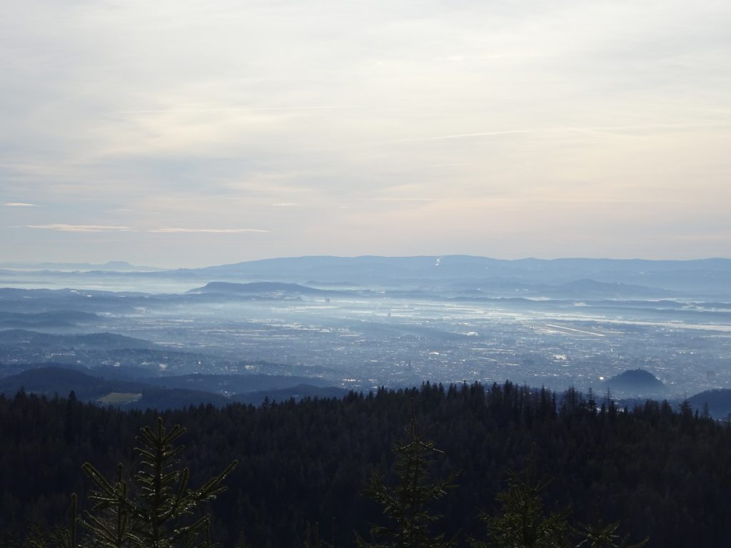
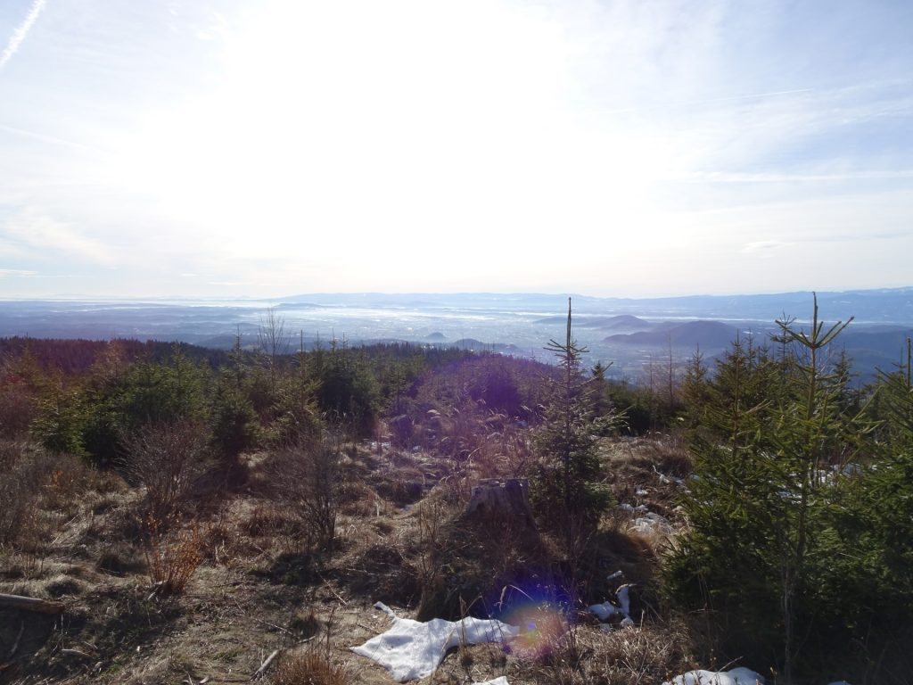
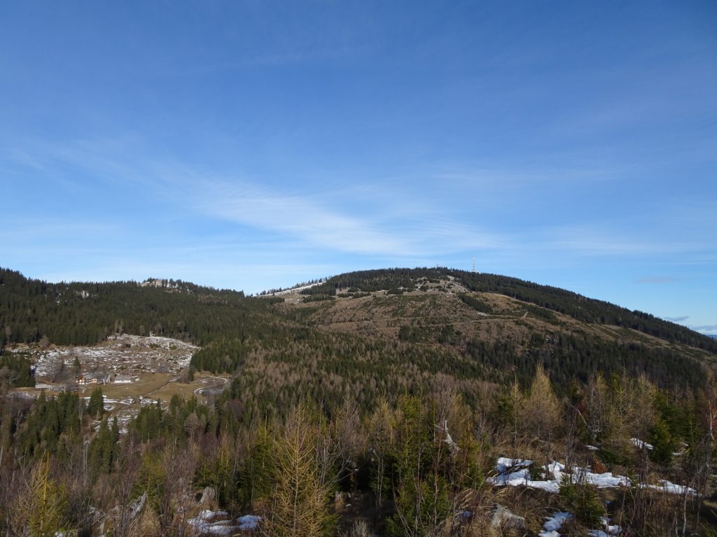
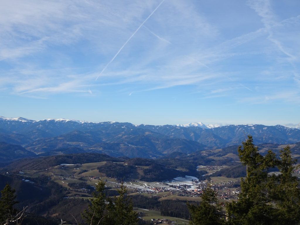
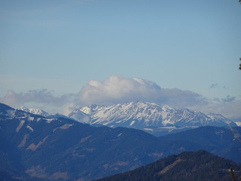
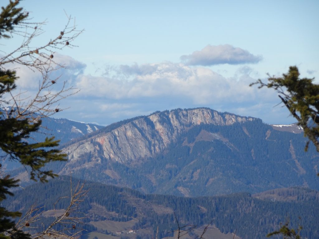
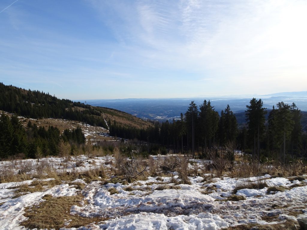
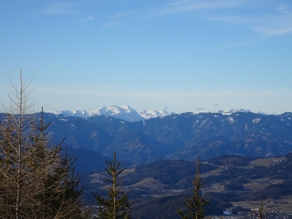
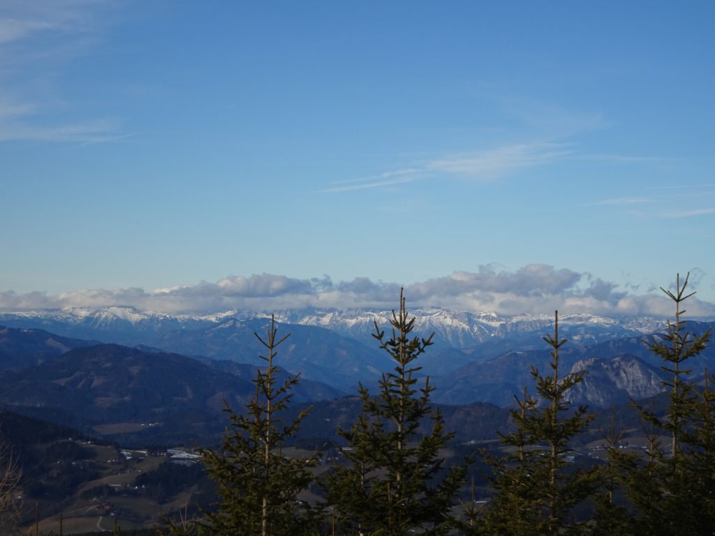
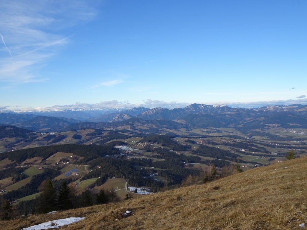
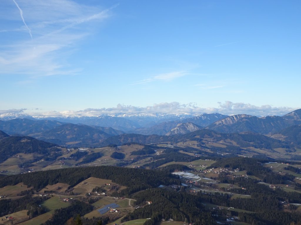
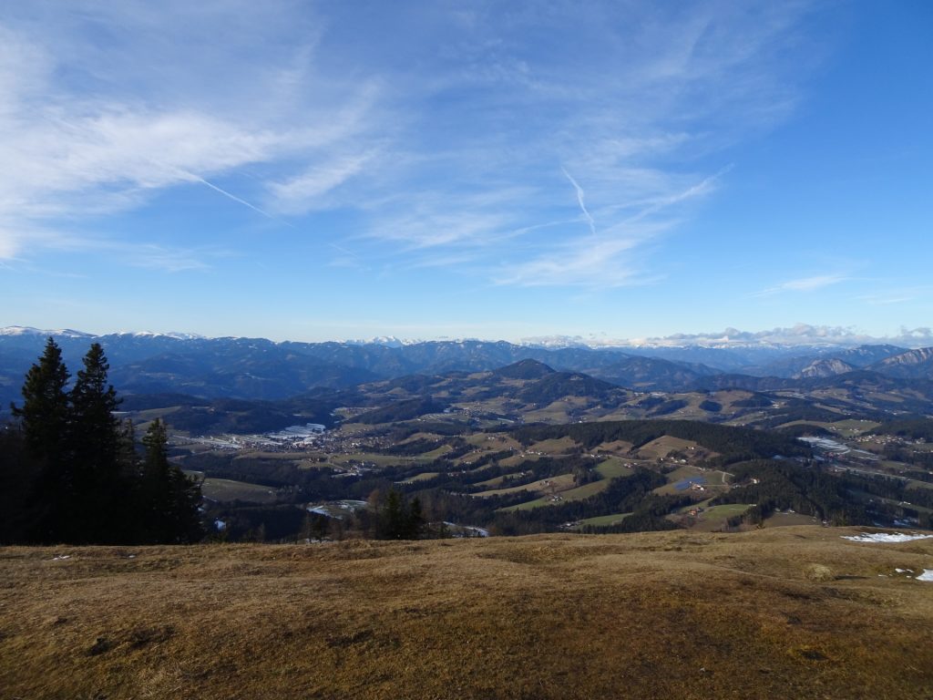
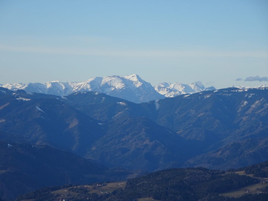
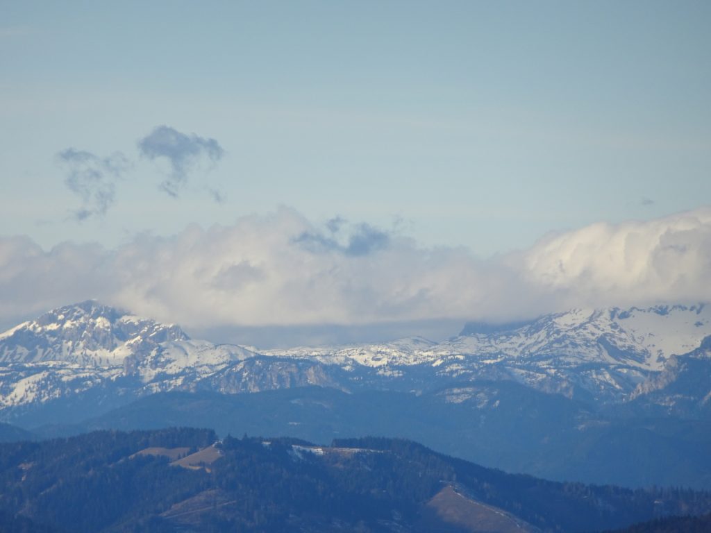
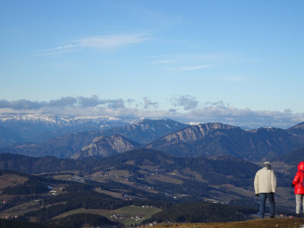
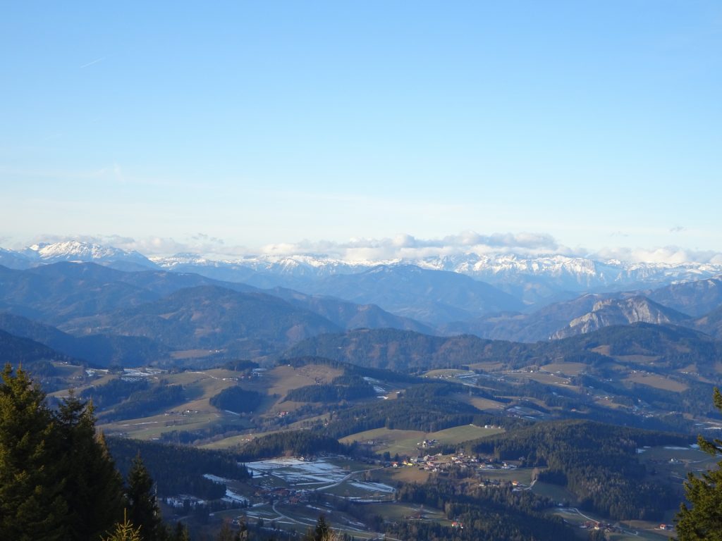
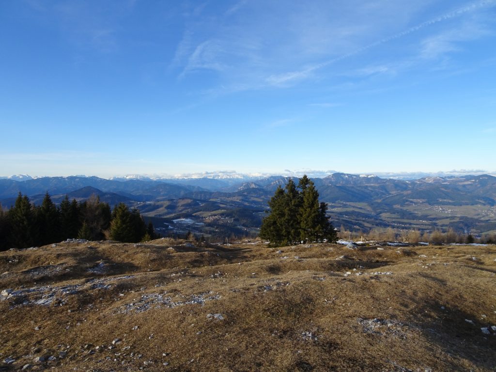
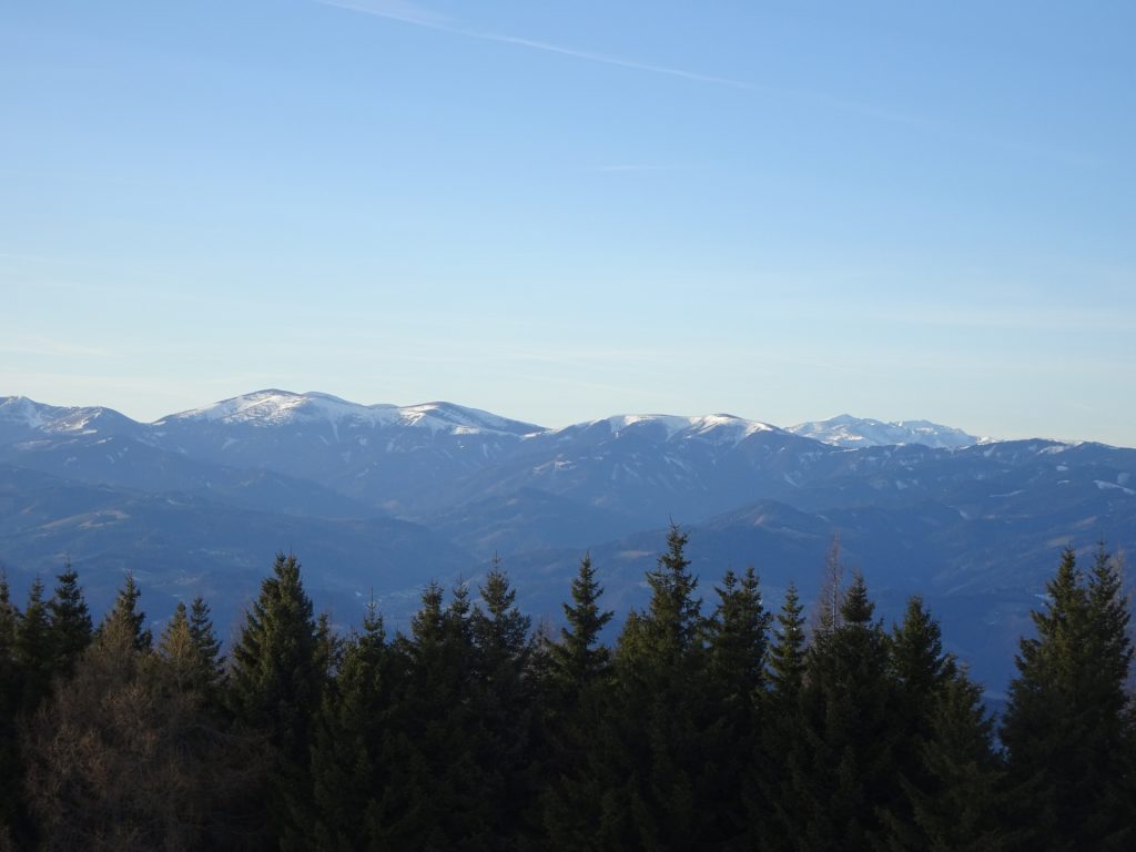
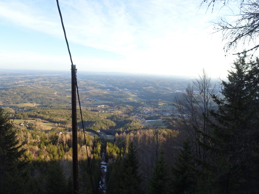
The tour starts at the parking Burg Ehrenfels (GPS: 47.178430, 15.472629) and first follows the red-white-red marked Quellenweg trail westwards which leads up to the Novystein monument and further to Fürwallnerhöhe allowing a first impressive view over the entire area of Schöckl. The tour then follows the trail along the ridge northwestwards through the forest around Hohenberg and then detours up to the summit of Zwölferkogel. After a short descent, the tour continues northwards and follows the trail to the Johann-Waller-Hütte. After a short break, the tour ascents through the forest till reaching the Schneid saddle. There, the tour detours shortly to the west and ascents the Niederer Schöckl. The tour then leads back to the saddle and then continues following up to the summit of Schöckl which allows and impressive scenic view on the Grazer Bergland. After a well-deserved break at one of the many huts next to the summit, the tour follows the trail northeastwards till reaching the Schöcklkopf (last summit of the tour). The tour then follows the easy forest road downwards. To spice up and shorten the tour (optional), the tour descends via a steep trail directly back to the valley, till finally reaching the Burg Ehrenfels which is close to the parking.
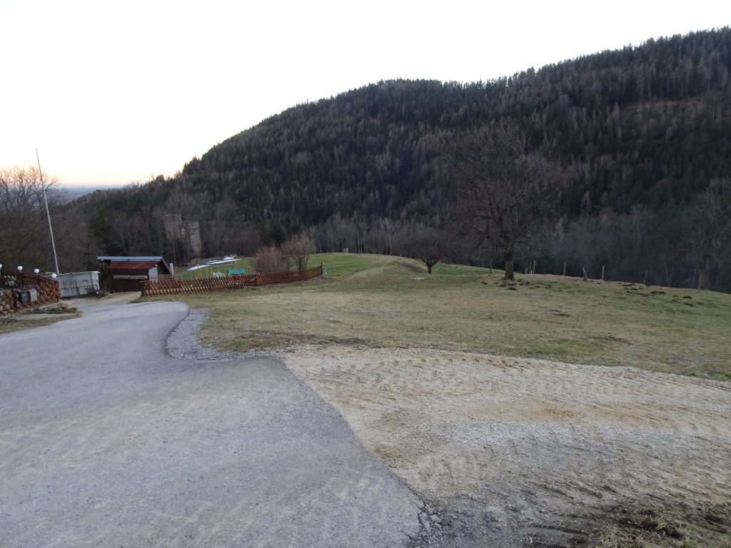
| 00:00 | Start at the parking Burg Ehrenfels (GPS: 47.178430, 15.472629) and first follow the street westwards for a few meters. |
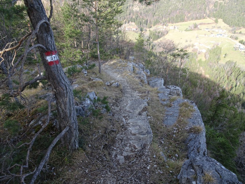
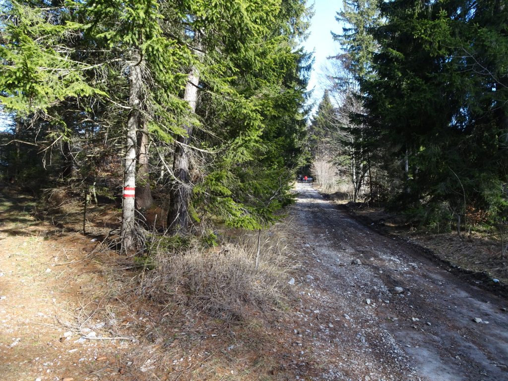
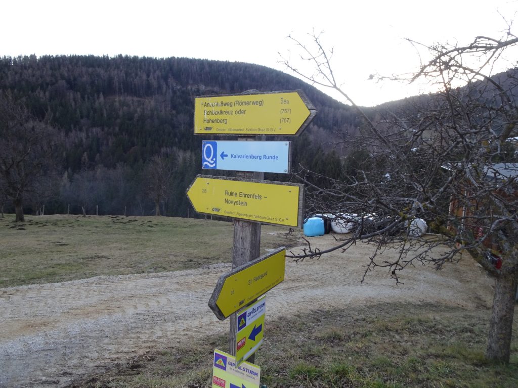
| 00:02 | At the street’s U-turn, stay straight ahead and turn into the red-white-red marked trail towards Novystein (see signpost). Follow the red-white-red marked trail up, passing by the Katharina Quelle (water source). |
| 00:10 | Turn sharp left and follow the trail up towards Novystein. At the crossings, always keep straight ahead and stay on the red-white-red marked trail. |
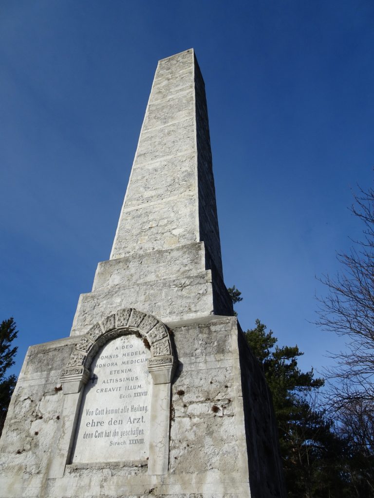
| 00:25 | Do a U-turn and hike up to the Novystein monument. Continue following the trail northwestwards towards Fürwallnerhöhe. |
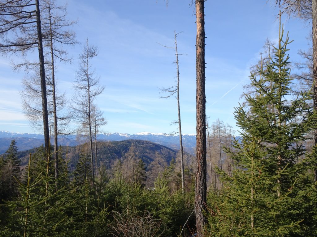
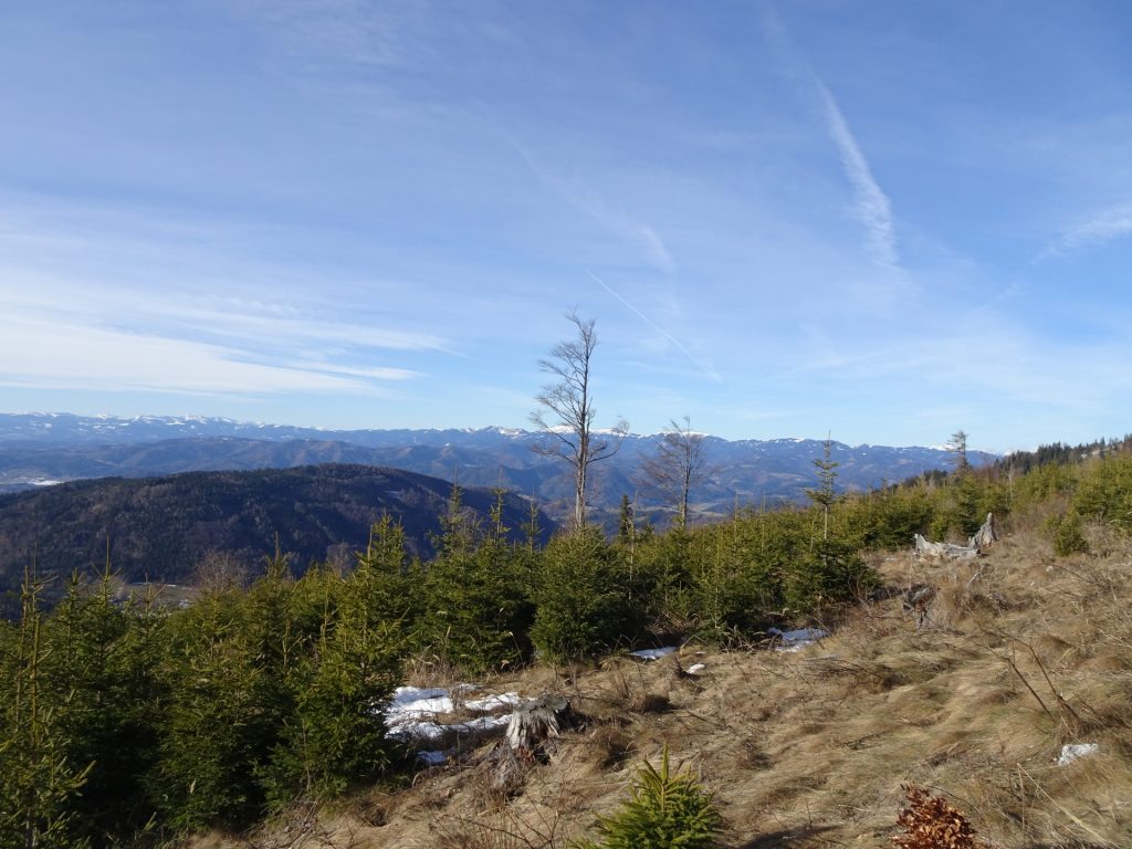
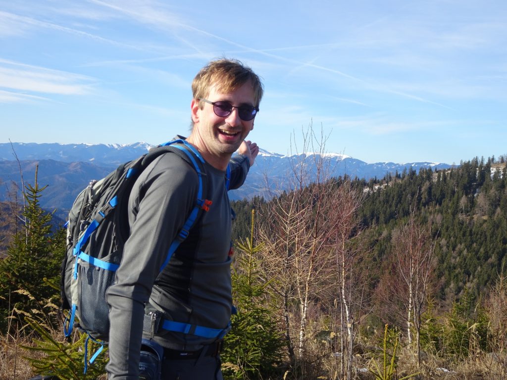
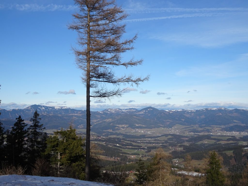
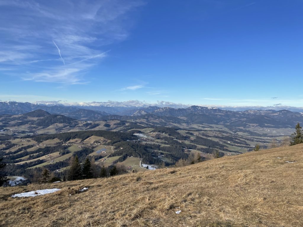
| 00:30 | Enjoy the view from Fürwallnerhöhe and follow the red-white-red marked trail along the ridge. |
| 00:35 | At the crossing, keep right and continue following the marked trail. |
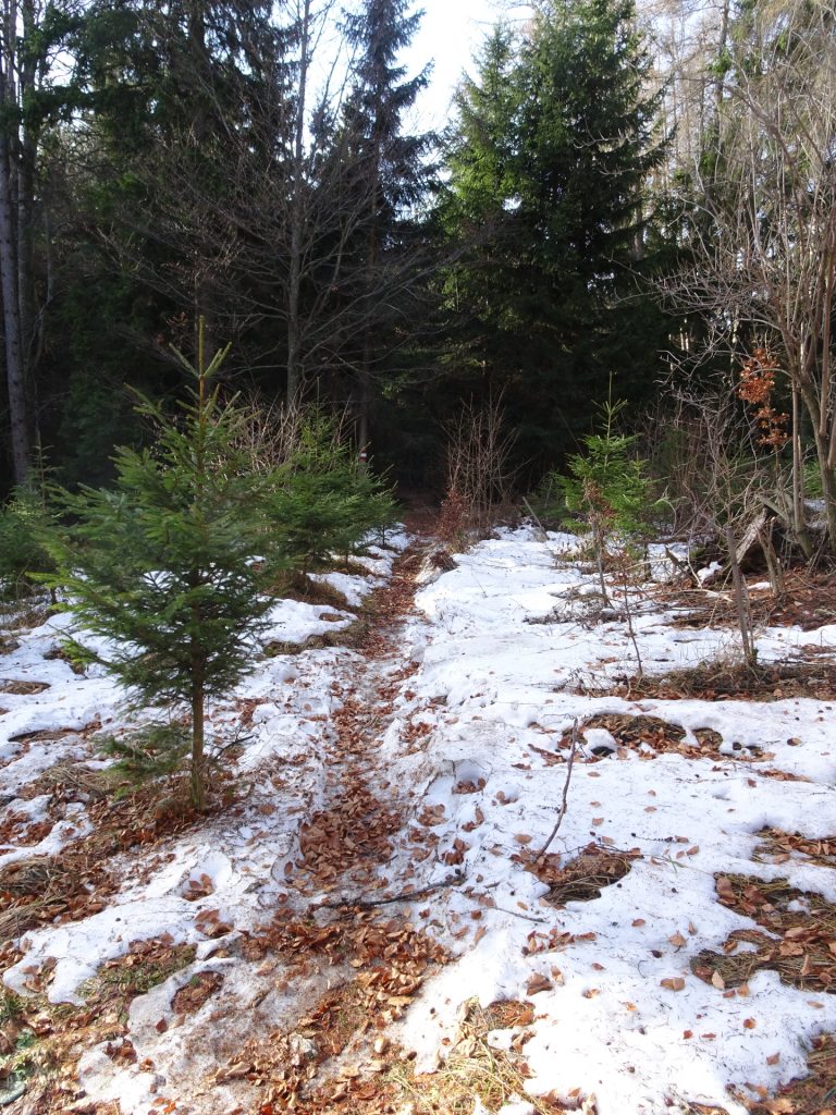
| 00:40 | At the crossing, first keep straight and then slightly right and continue following the trail. |
| 00:45 | At the crossing, keep straight ahead and follow the trail southwards. |
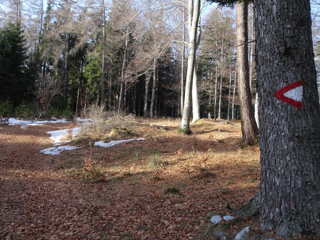
| 01:00 | At the crossing, turn into the red-white-red marked trail (see arrow) and continue following this trail. |
| 01:10 | At the crossing, stay straight ahead (slightly right) and follow the trail towards Schöckl – Stubengerghaus (see signpost). |
| 01:30 | Leave the forest road by turning right and follow the trail marked with yellow dots up to Zwölferkogel. |
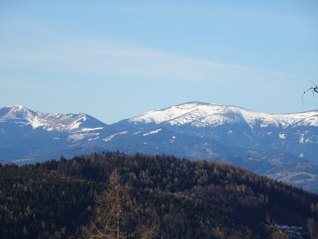
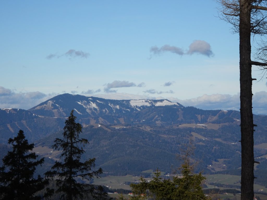
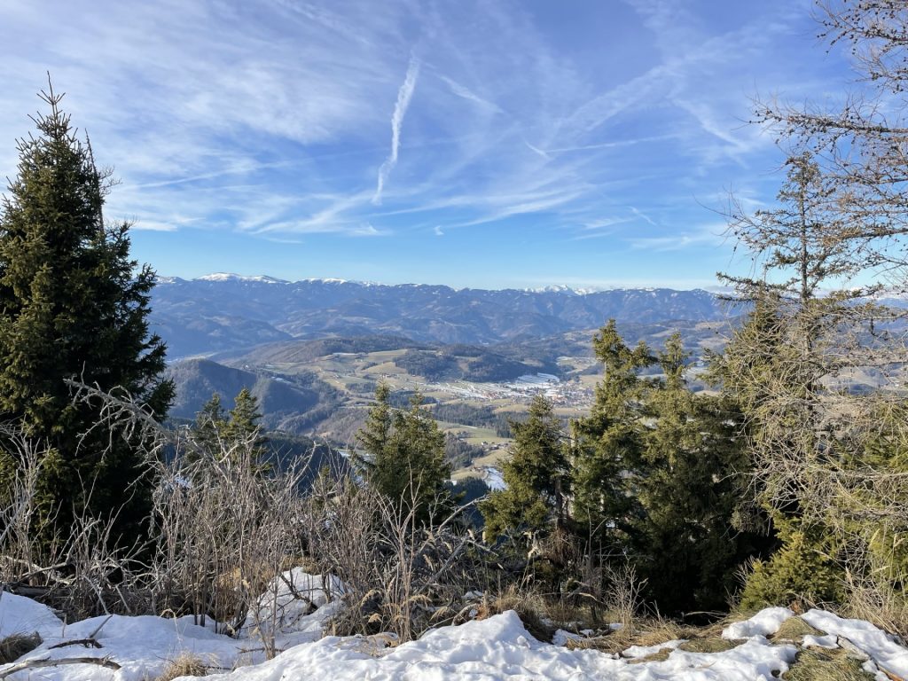
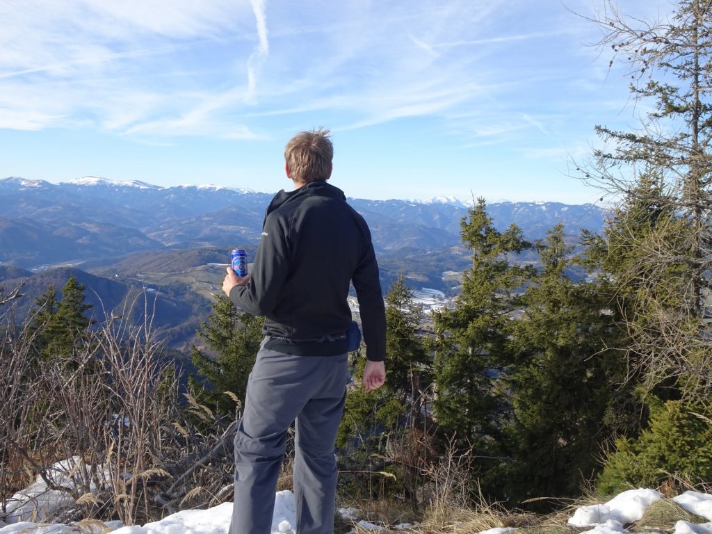
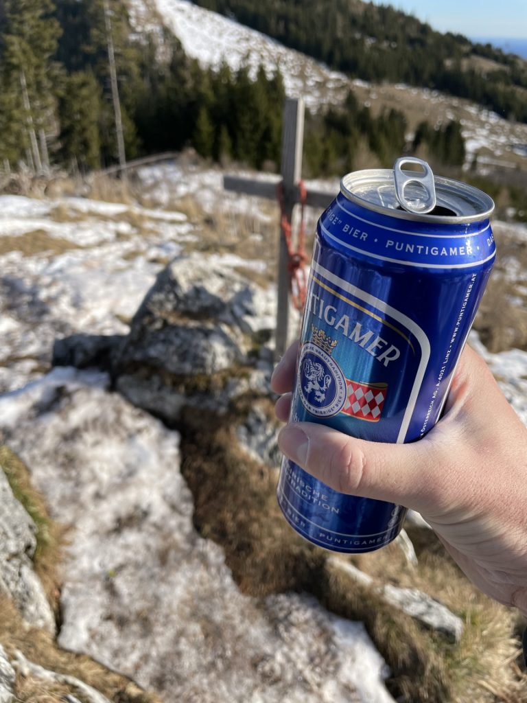
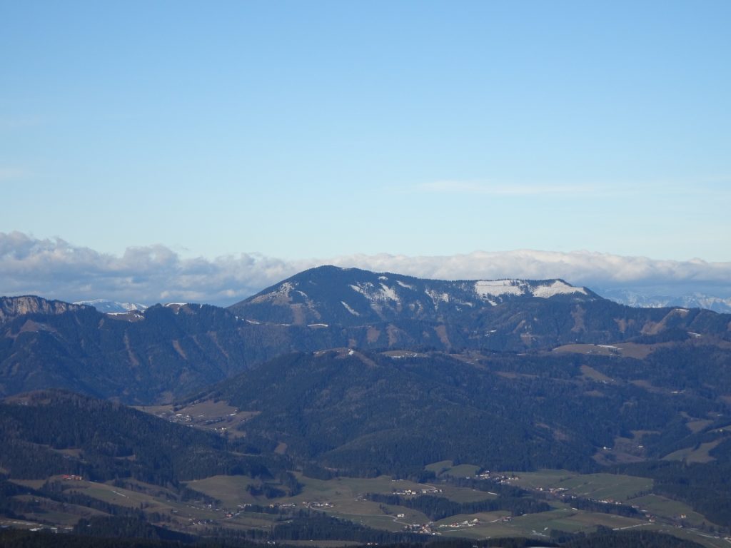
| 02:00 | Enjoy the view from Zwölferkogel (best enjoyed with a self-brought refreshment ). |
| 02:10 | Follow the trail back for a few meters and then turn right and descend towards the forest road. |
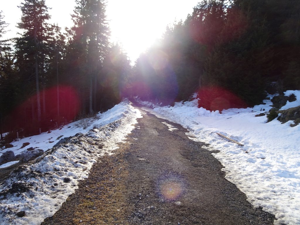
| 02:11 | Turn left (!) into the forest road and follow it southwards. Take the U-turn and continue following the forest road downwards. |
| 02:25 | Follow the U-turn of the forest road and then turn right into the hiking trail. Cross the street and follow the red-white-red marked trail up to the Göstinger Forsthaus. |
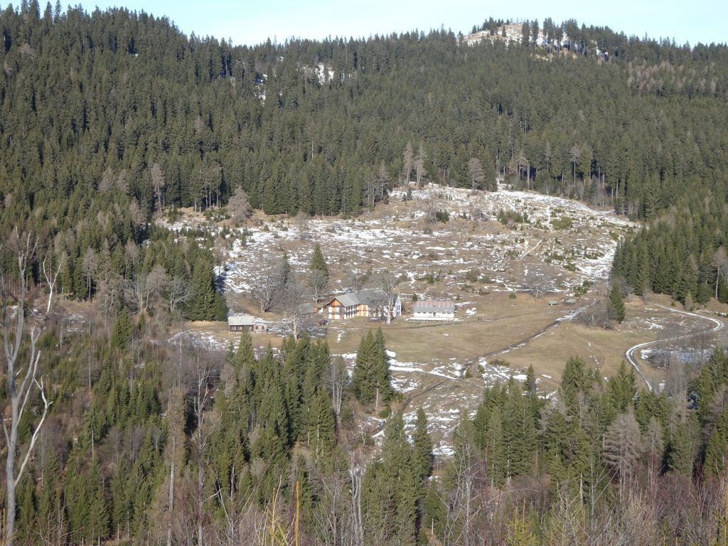
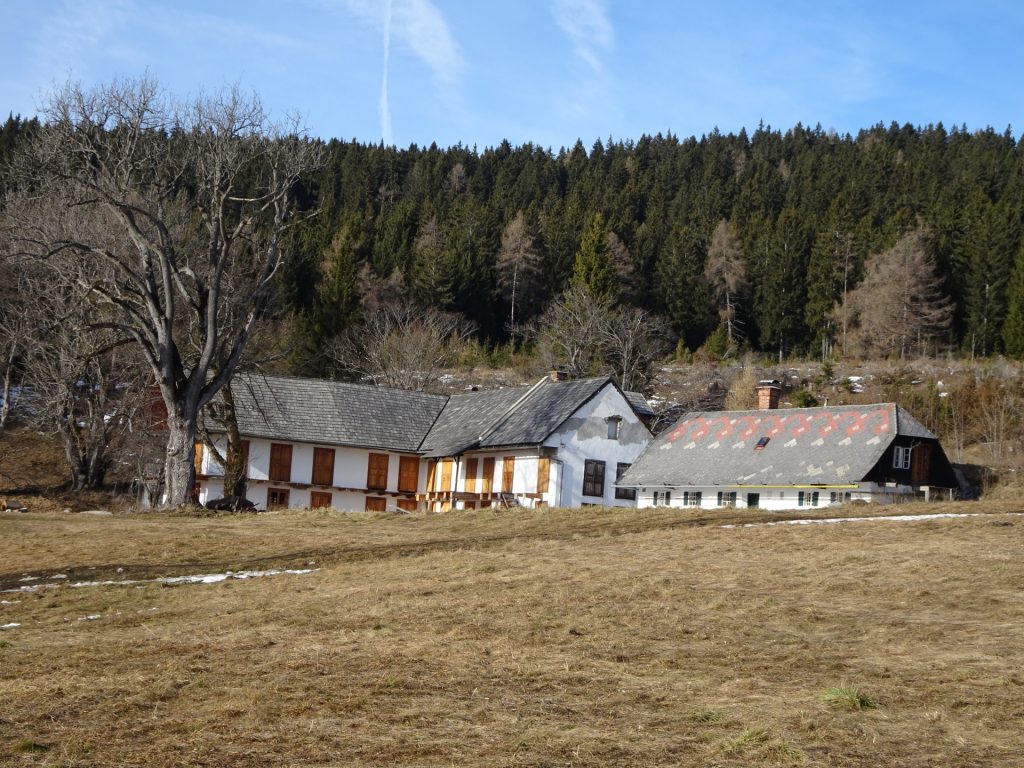
| 02:30 | Pass by the Göstinger Forsthaus building and follow the forest road upwards (north). |
| 02:35 | Turn right into the trail towards Wallerhütte (see signpost!). |
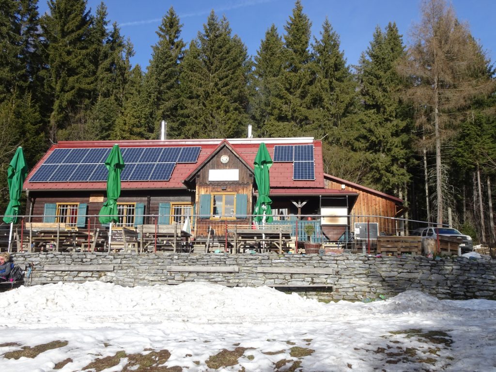
| 02:40 | Well deserved break () at the Wallerhütte. |
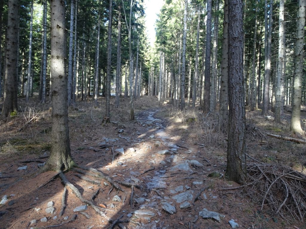
| 03:00 | Follow the trail north (around) the Waller-Hütte up through the forest. |
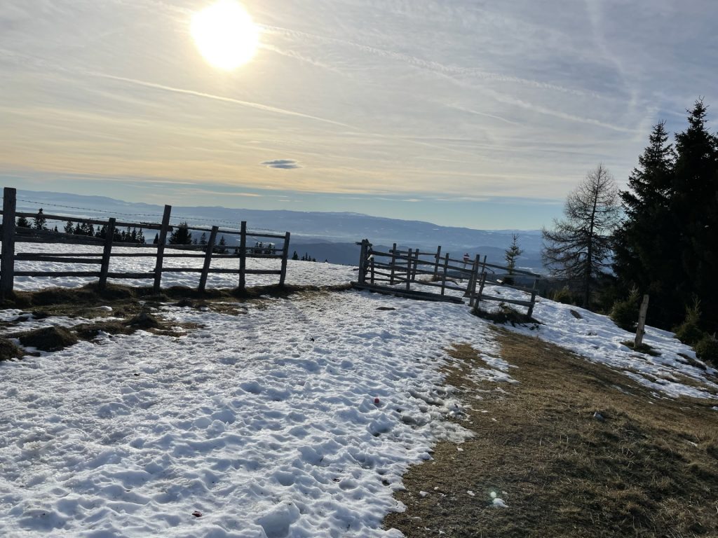
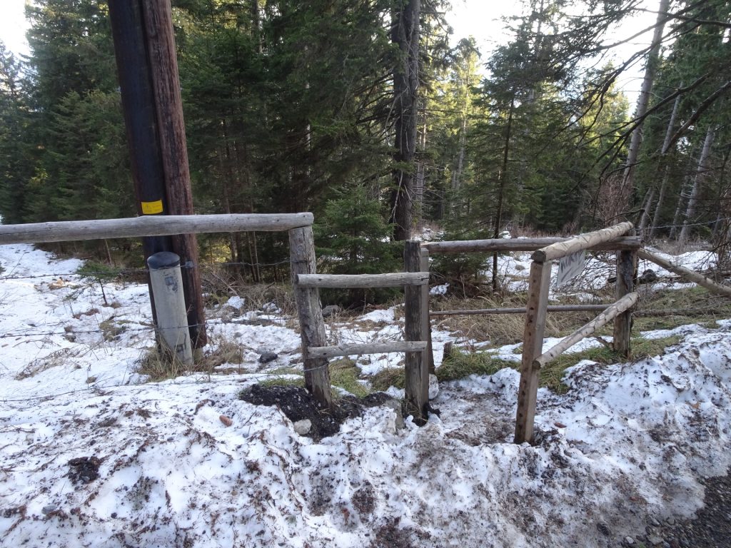
| 03:10 | At the crossing, stay straight ahead and follow the trail along the fence towards Schöcklsattel (saddle). |
| 03:12 | At the saddle, turn left and follow the trail up to Niederer Schöckl. |
| 03:20 | Enjoy the view from Niederer Schöckl (best enjoyed with a self-brought refreshment (). |
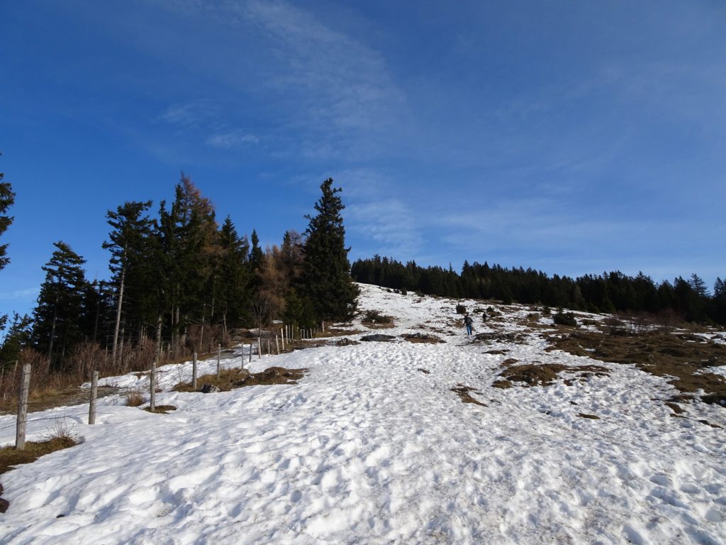
| 03:35 | Hike back to the saddle and then ascend on the other side towards the summit of Schöck. |
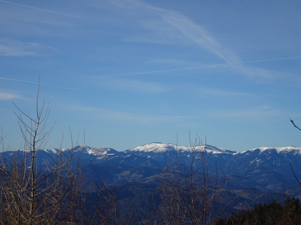
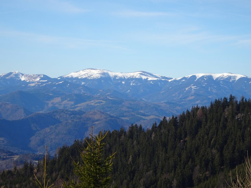
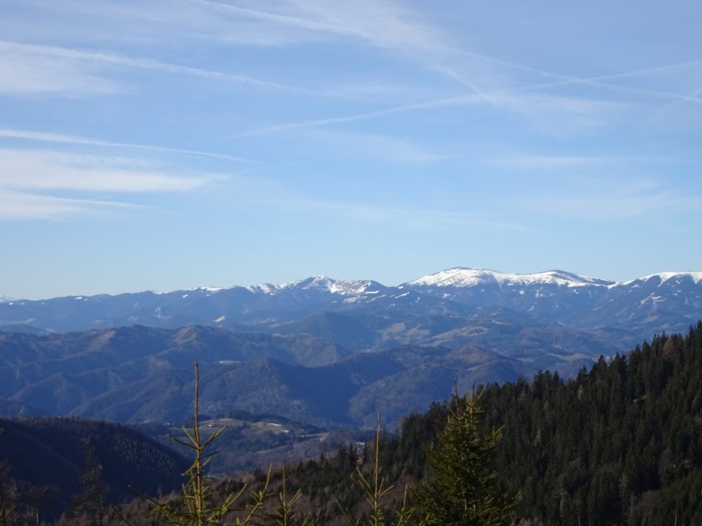
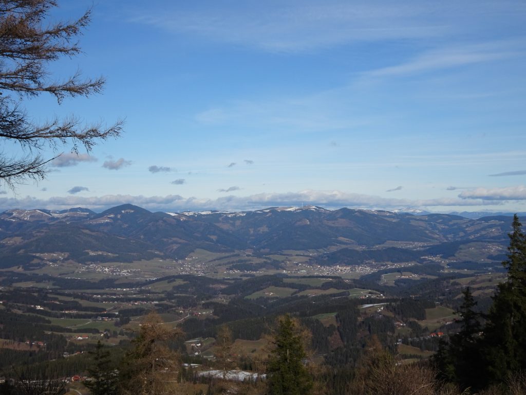
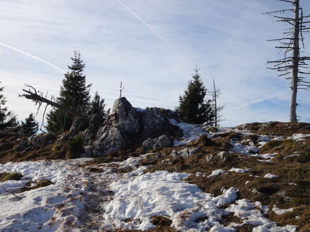
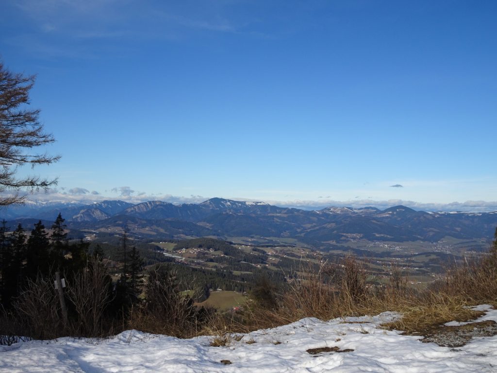
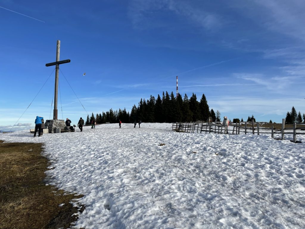
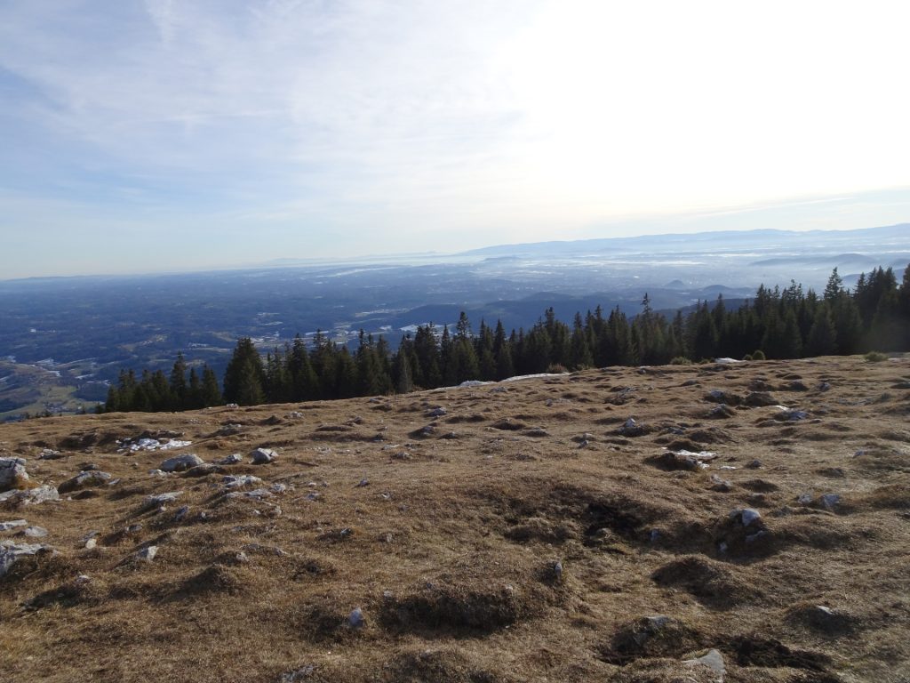
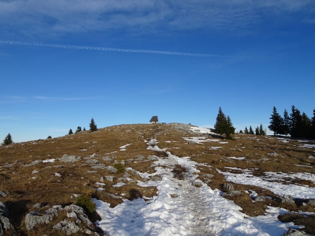
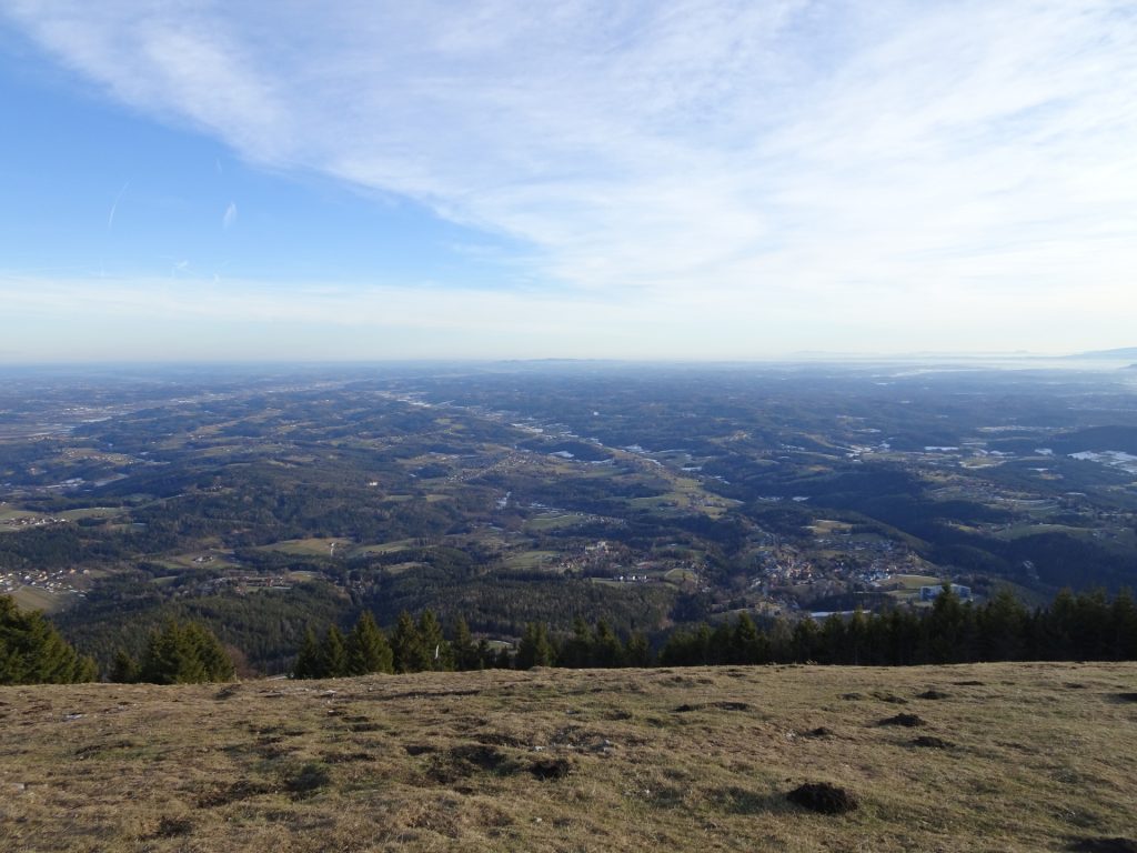
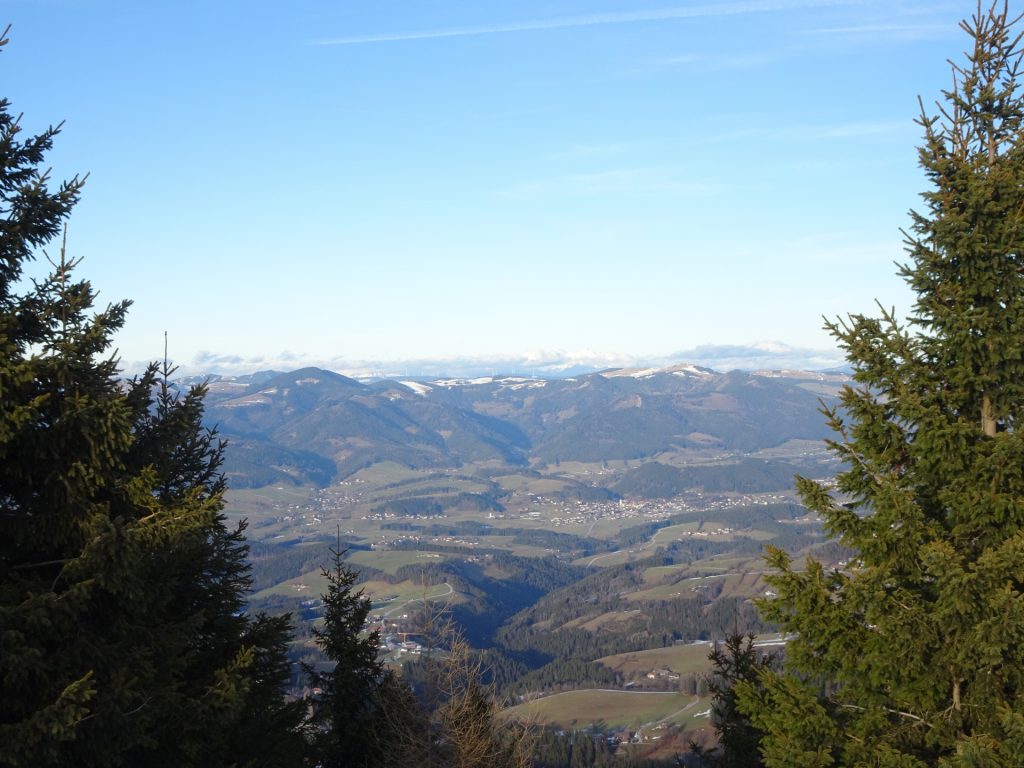
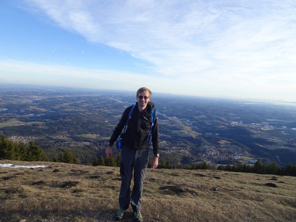
| 03:55 | Enjoy the impressive view from the summit cross of Schöckl. |
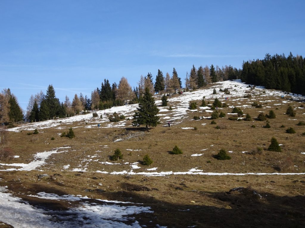
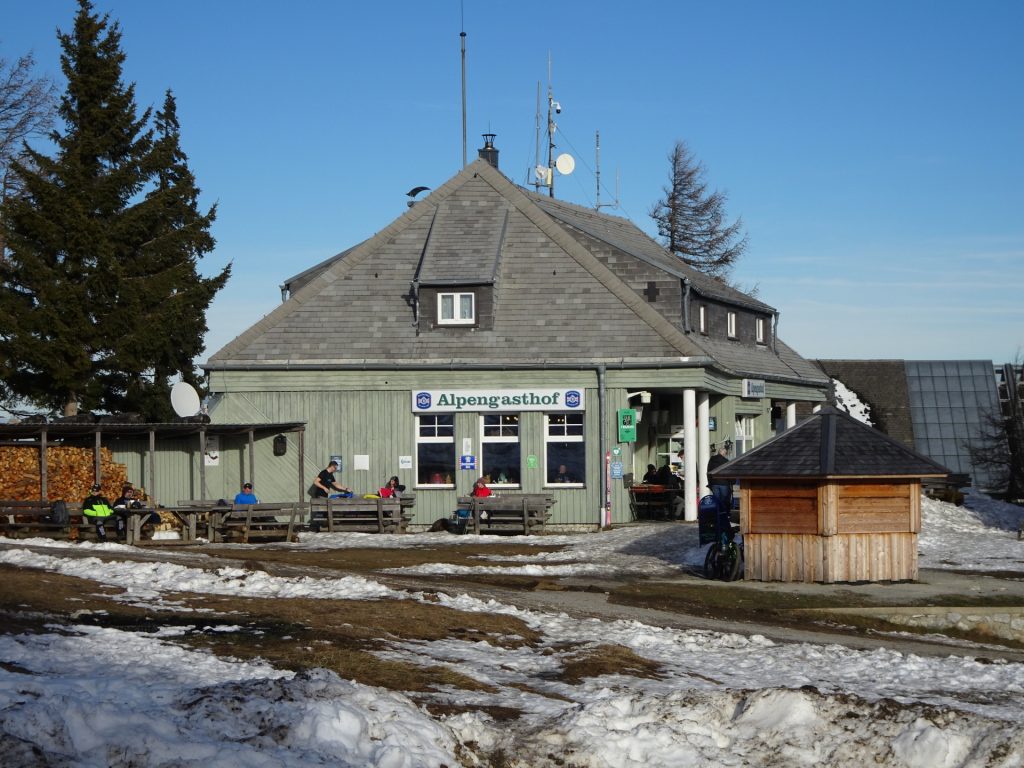
| 04:00 | Follow the trail on the plateau eastwards towards the mountain station of the cable car and the restaurants nearby. |
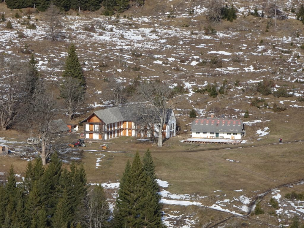
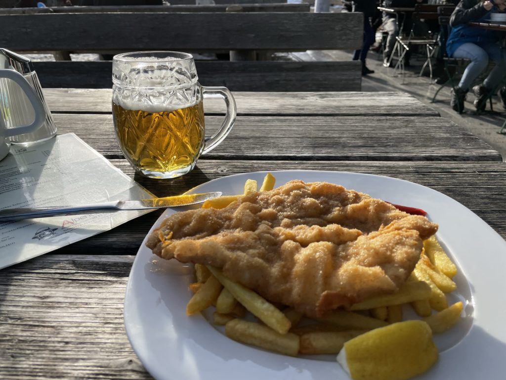
| 04:10 | Well deserved break ( ) at the Alpengasthof. |
| 04:45 | Continue following the forest road eastwards around the mountain station. |
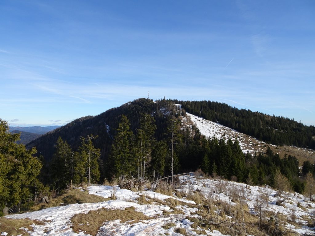
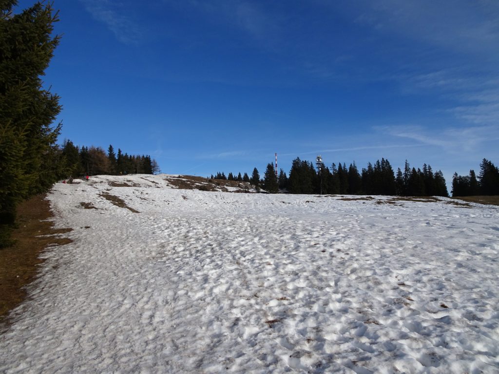
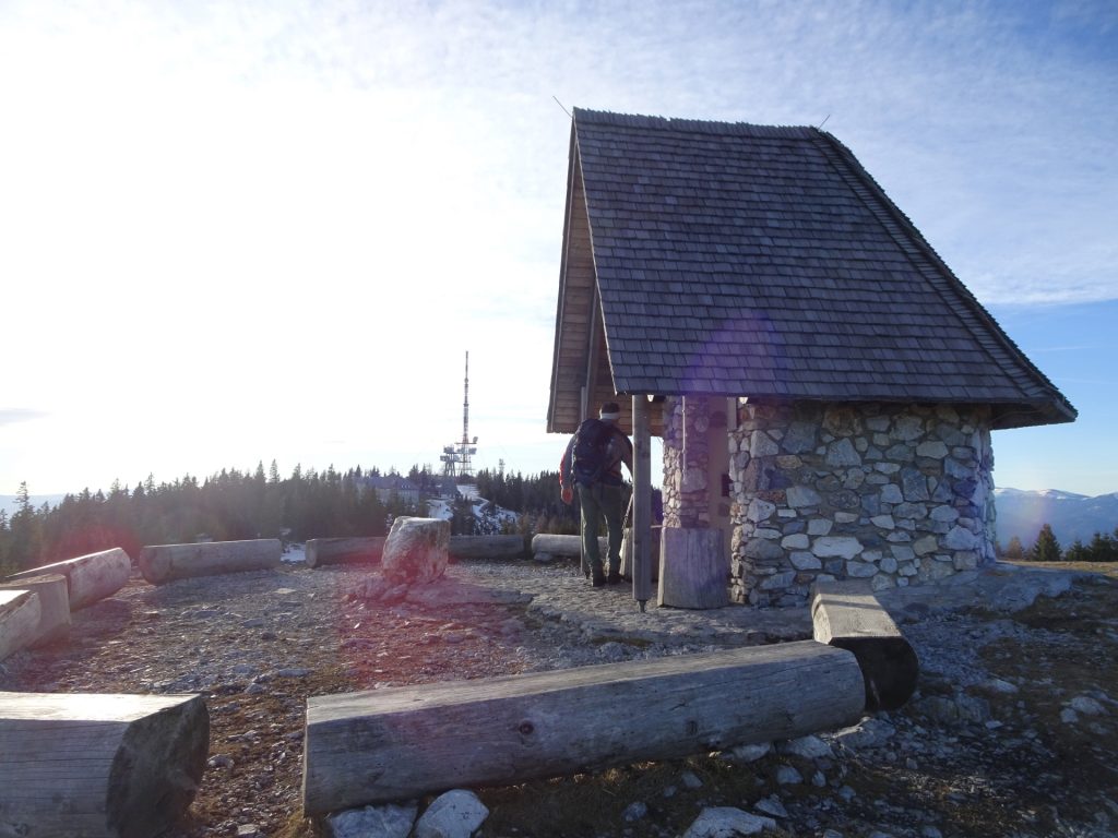
| 04:50 | Keep right and follow the trail towards the visible little church (Johanneskapelle) and then further to the Schöcklkopf (behind the antenna). |
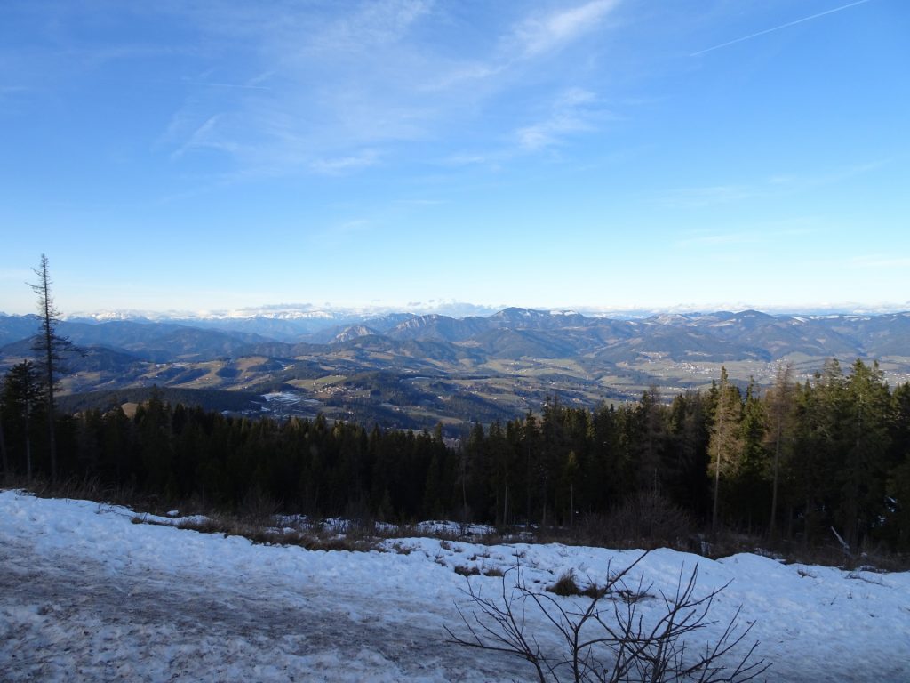
| 05:00 | Enjoy the impressive view from Schöcklkopf and then follow the road downwards (southwest). |
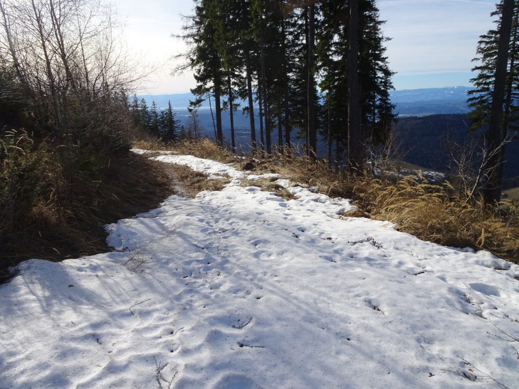
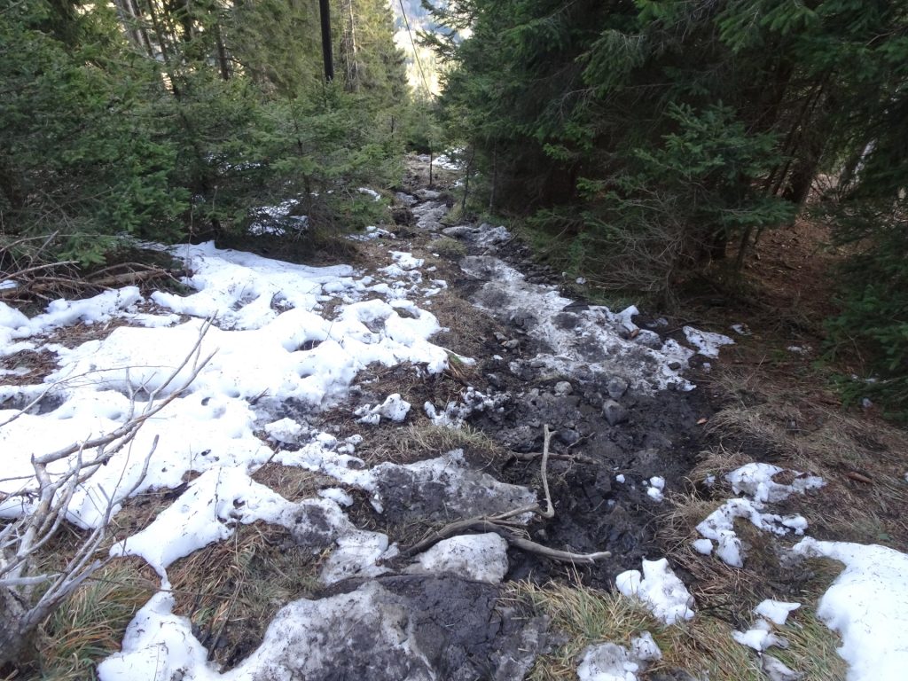
| 05:25 | At the crossing, turn left and follow the steep trail downwards. Cross the forest street several times. |
| 05:45 | Turn right and follow the lower forest road downwards. At the next crossing, keep left and continue following the forest road (crossing the cable car track). |
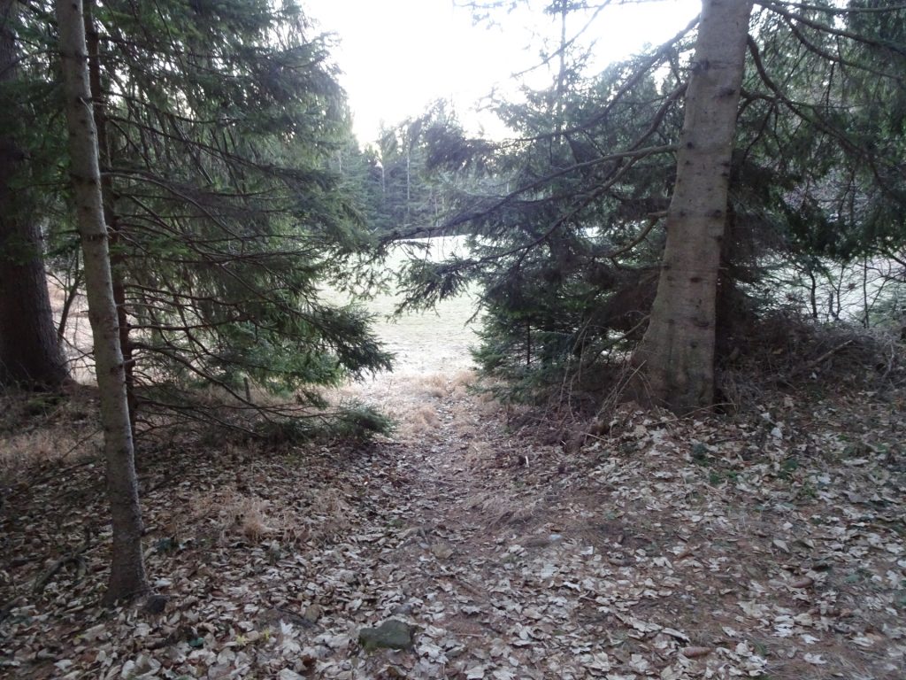
| 06:00 | Turn right into the trail at the clearing and follow the trail southwards. |
| 06:05 | Keep right and follow the forest road westwards. |
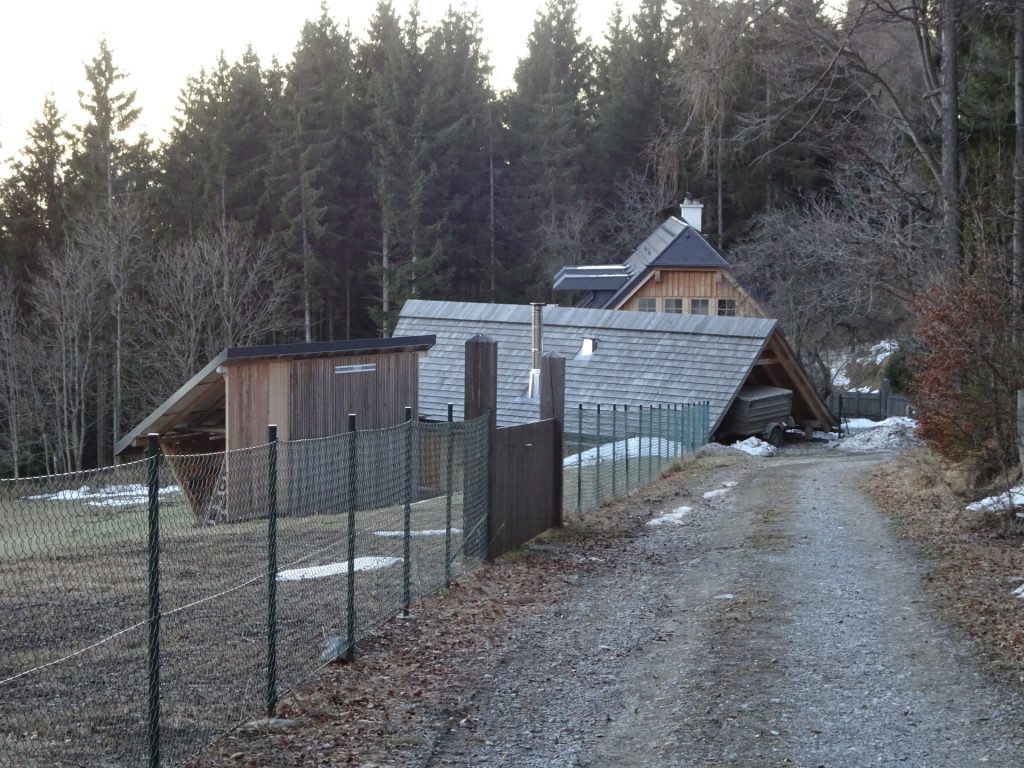
| 06:10 | Turn sharp right at the U-turn and follow the road back to the houses. Keep left twice and follow the street south. |
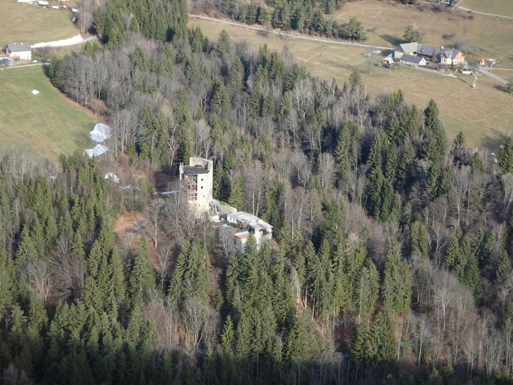
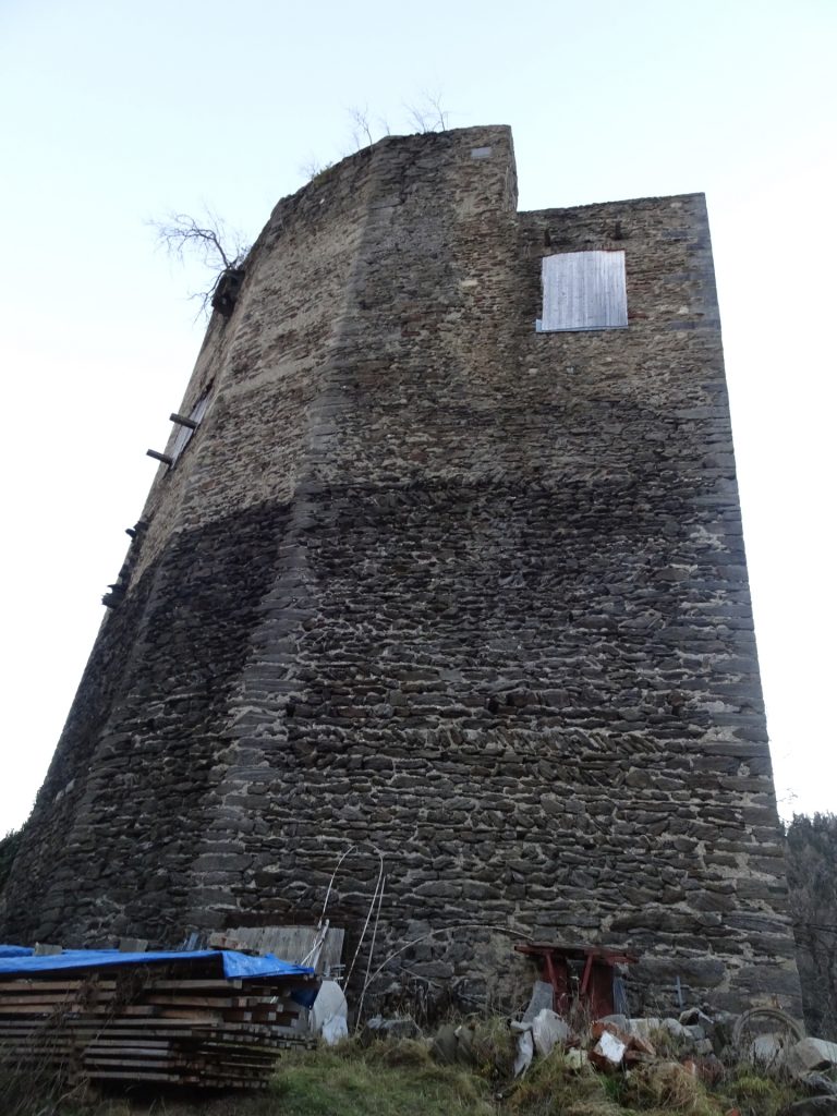
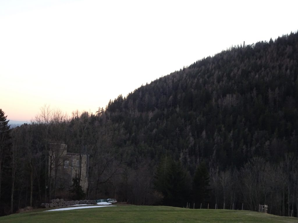
| 06:20 | At the crossing, turn right into the trail through the meadow towards castle Ehrenfels. |
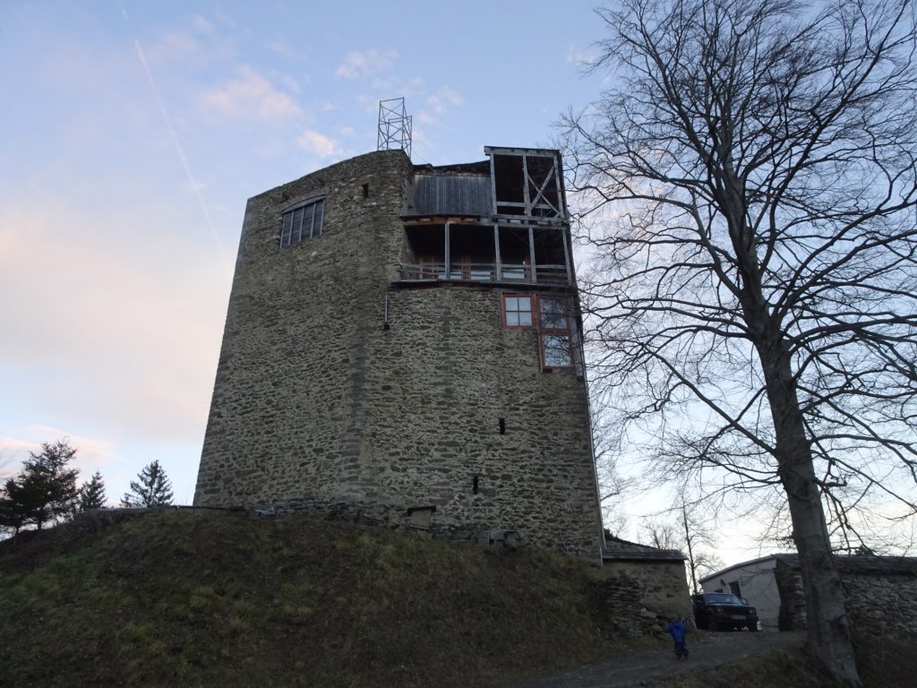
| 06:25 | Before the castle, turn right and follow the forest road back to the parking. |
| 06:30 | Back at the parking, end of the tour. |
General Tour Data
| Area: | Grazer Bergland, Styria, Austria | |
| Distance: | 17km | |
| Ascent: | 933m (2h 35min) | |
| Descent: | 933m (2h 15min) | |
| Highest Pt: | 1445m | |
| Lowest Pt: | 705m | |
| Duration: | 5h 15min (without breaks) 6h 30min (with breaks) |
|
| Stop/Rest: |
Johann Waller Hütte (1170m) Stubenberghaus (1445m) Alpengasthof am Schöckl (1445m) |
|
| Equipment: | (Warm) Hiking shoes Shoe chains (“Grödel”) in winter Backpack with standard hiking equipment Snacks and water 2x Gipfelbier Sun & Weather protection GPS advised Camera |
| Download GPX | ||
| O | Tour at outdooractive.com |
At a glance
| Level | moderate |
| Technique | |
| Shape / Fitness | |
| Experience | |
| Scenery | |
| Best time in the year | |
|
Jan
Feb
Mar
Apr
May
Jun
Jul
Aug
Sep
Oct
Nov
Dec
|
|




















Leave a Reply