
Long but promising hiking tour to Röthelstein via the Drachenhöhle and continue towards Rote Wand
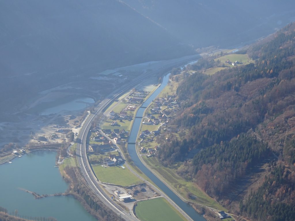
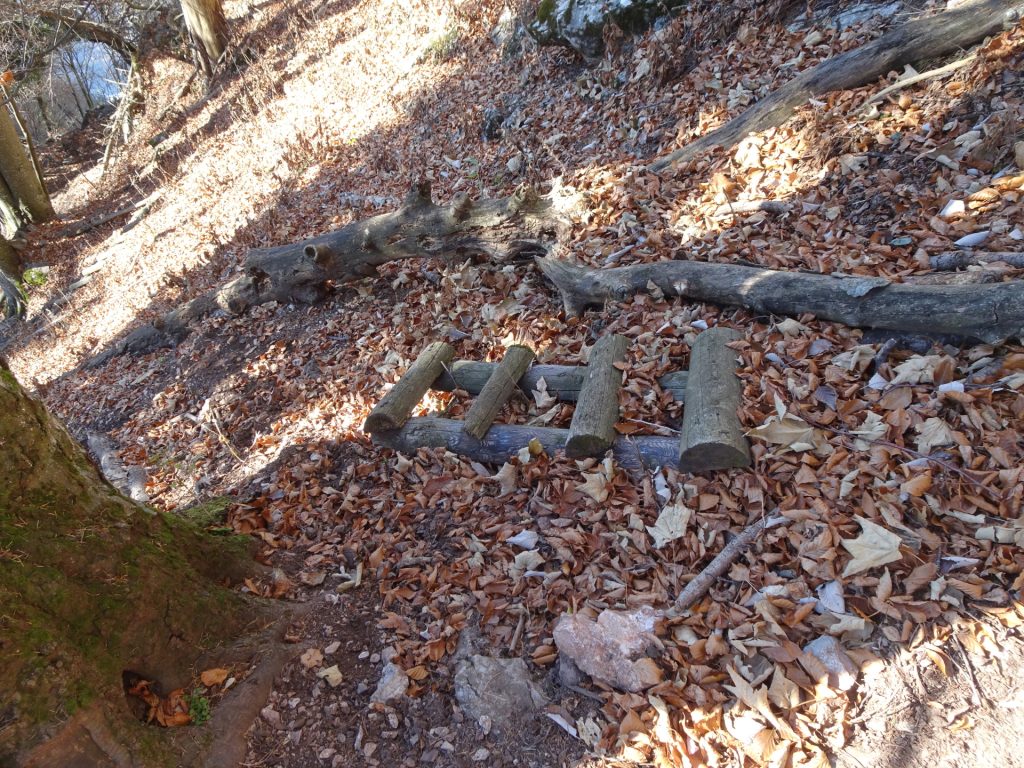
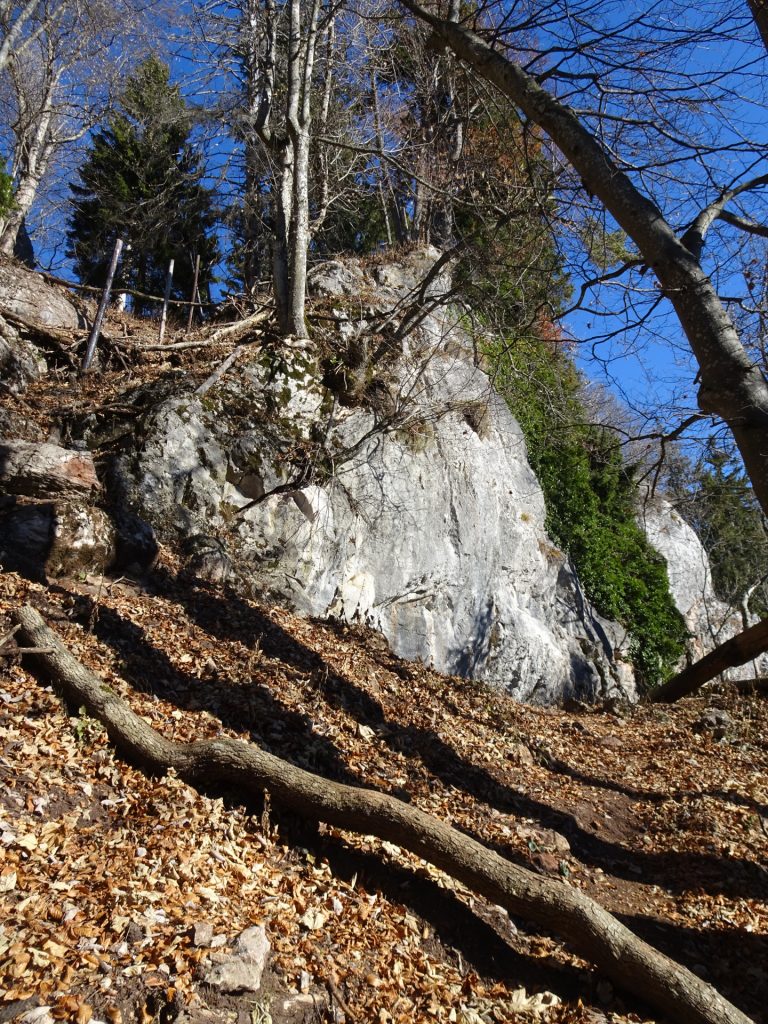
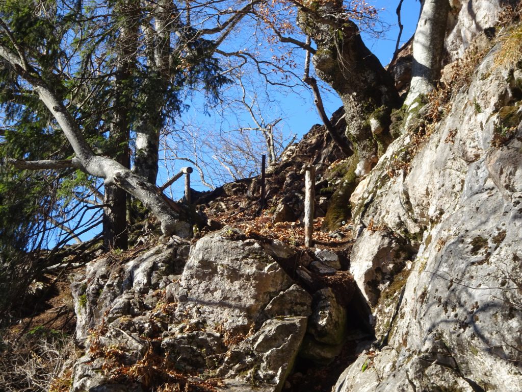
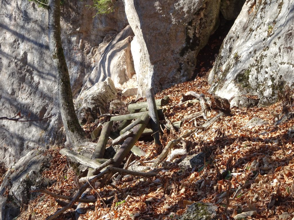
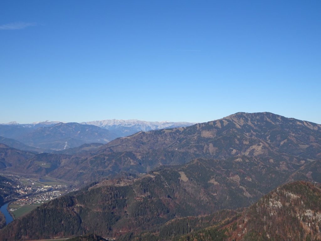
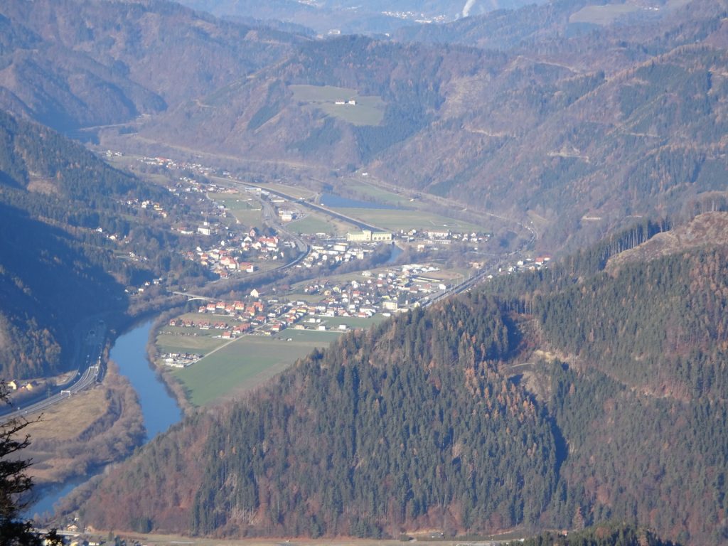
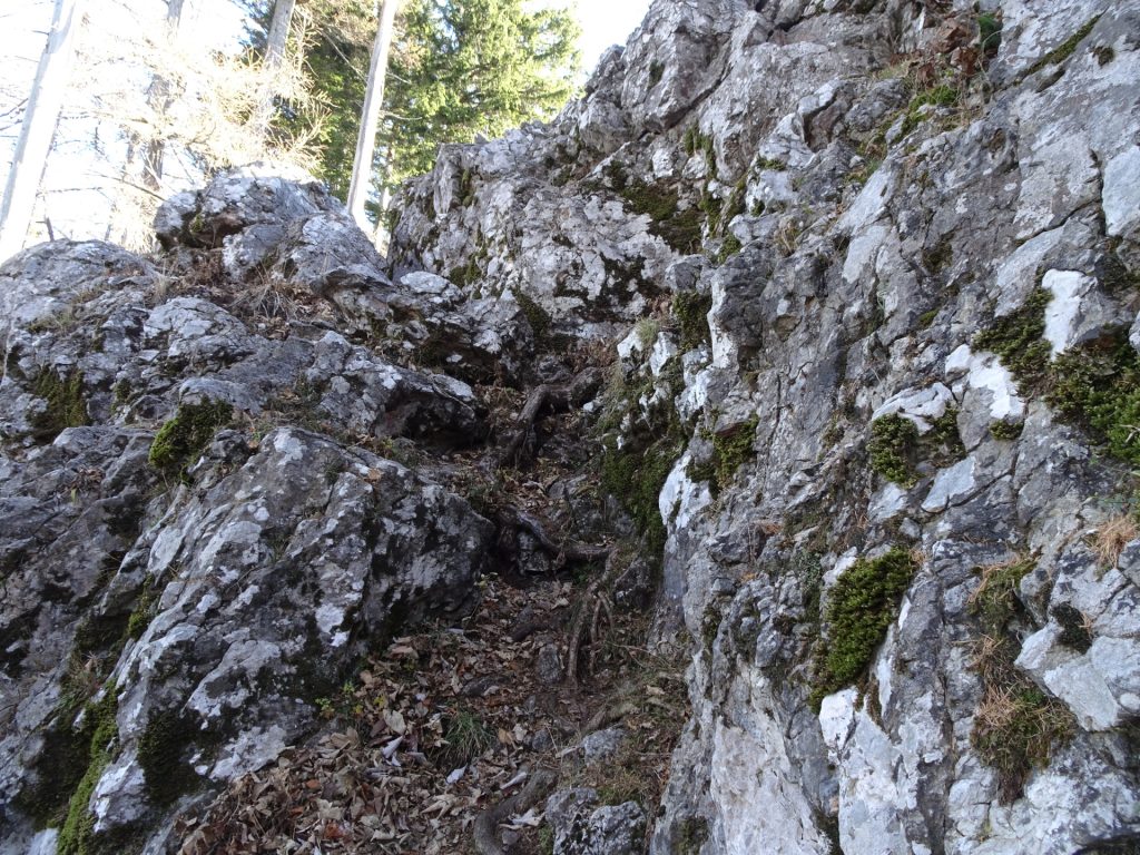
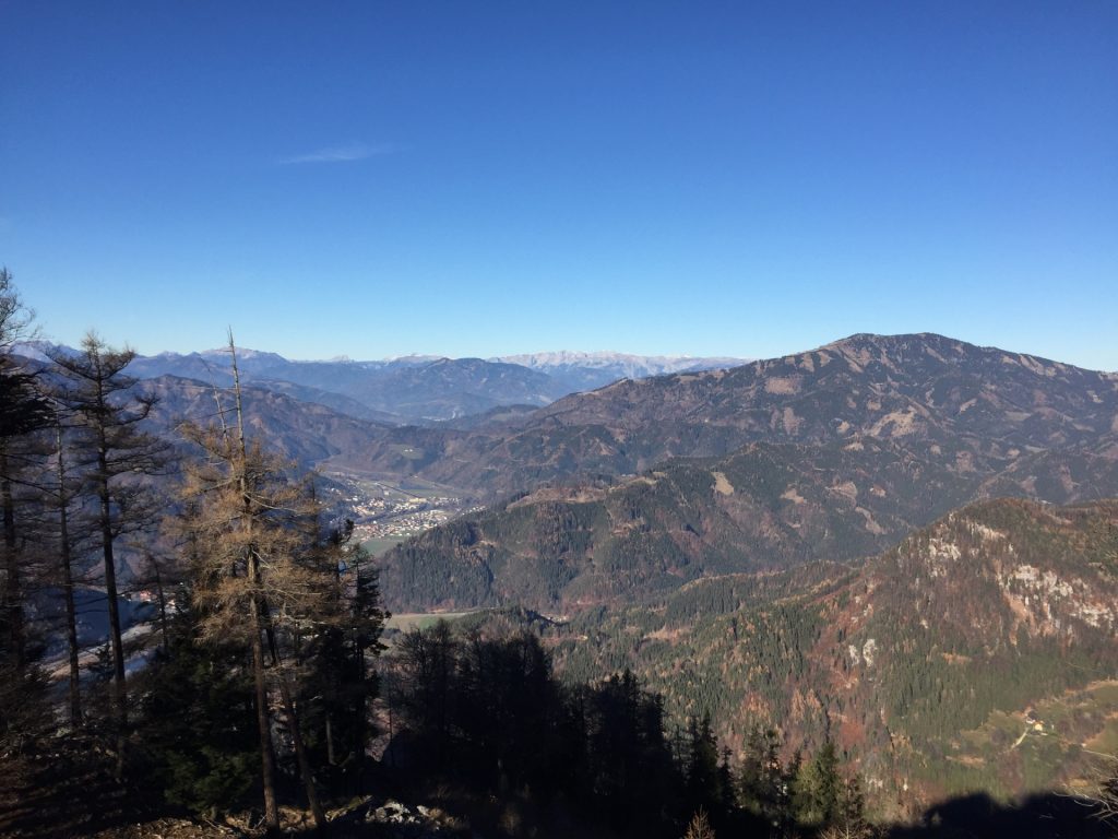
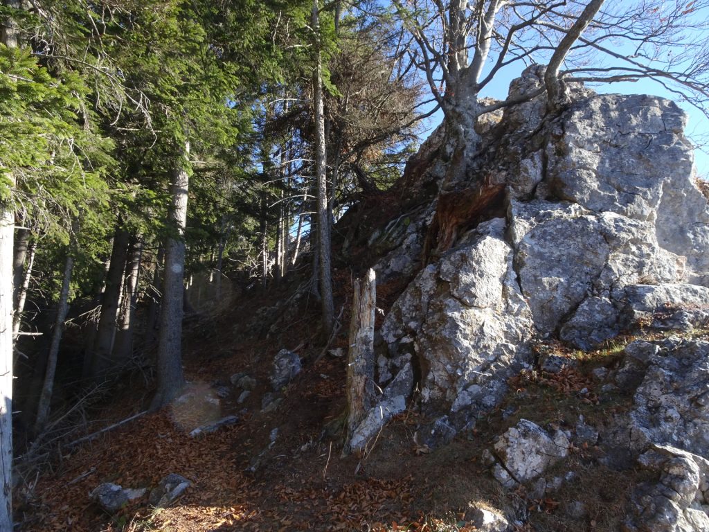
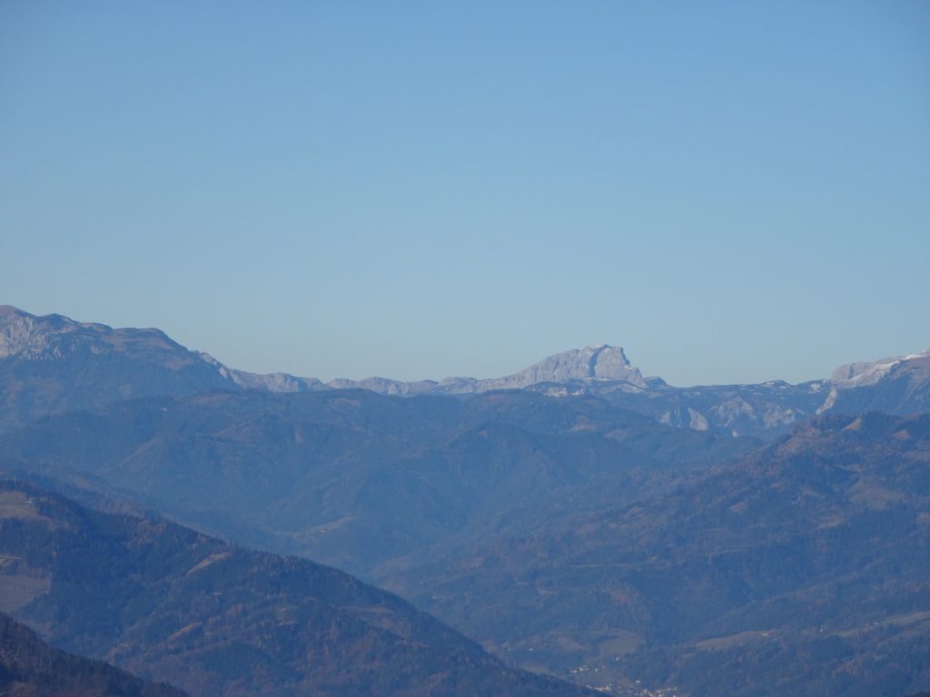
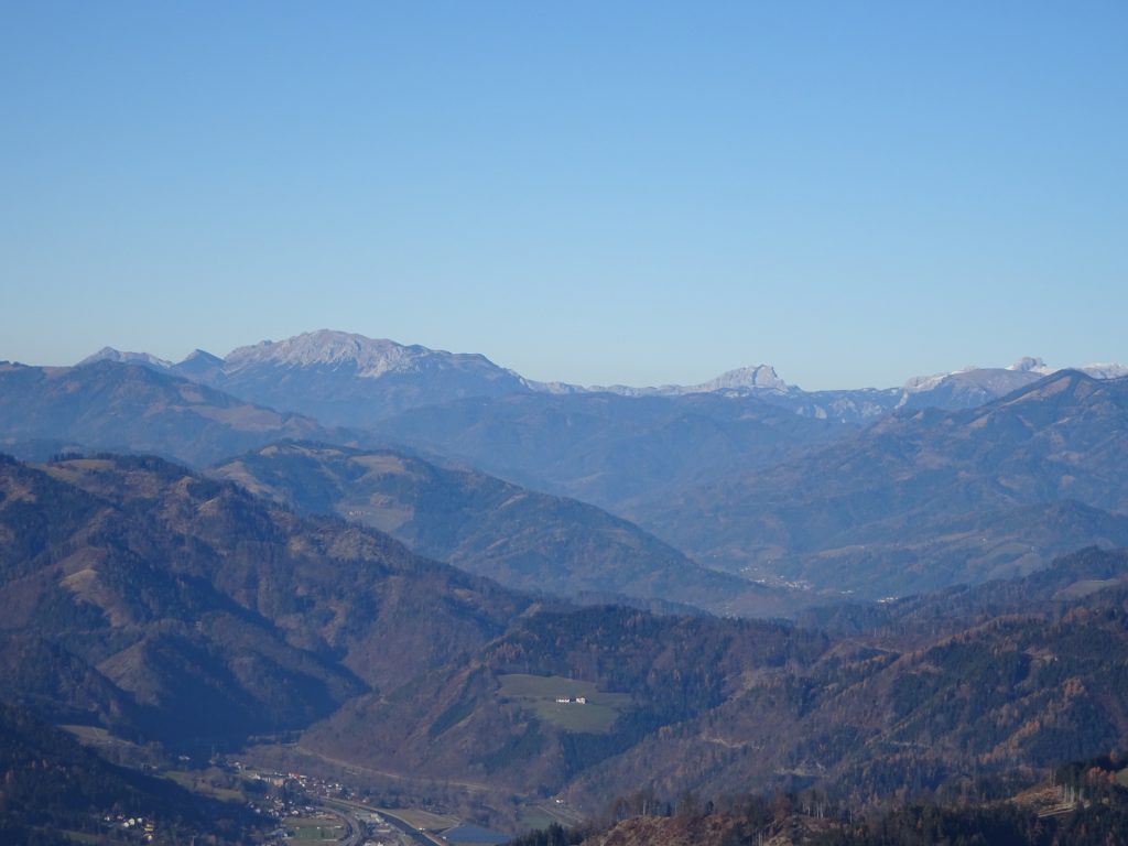
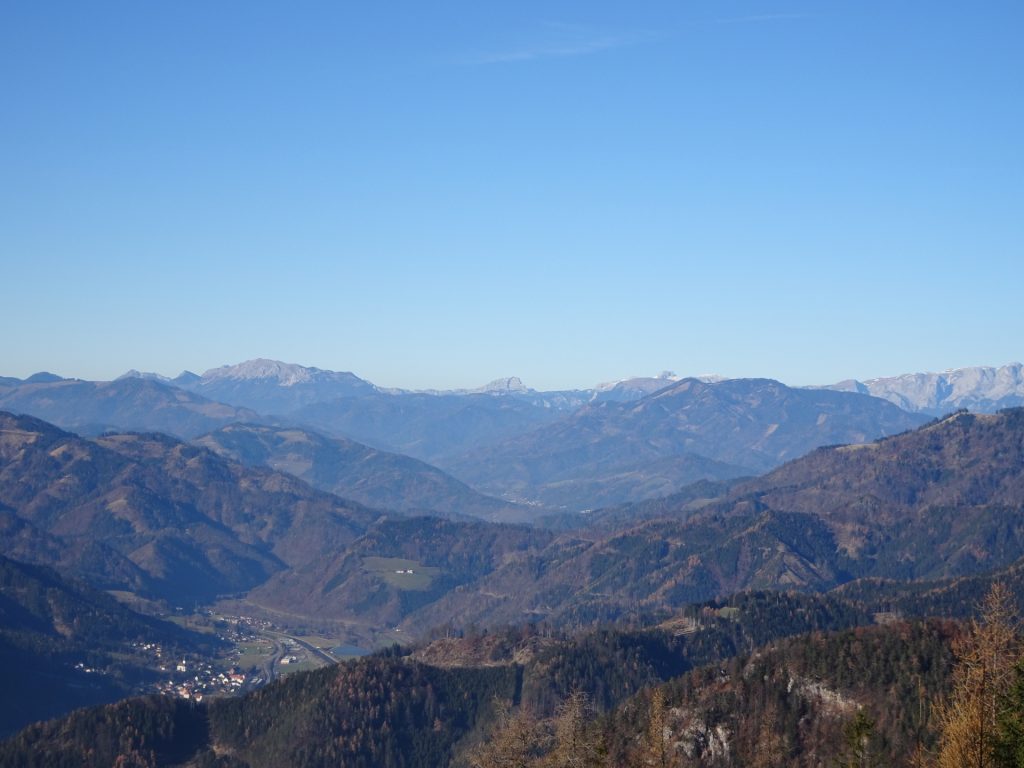
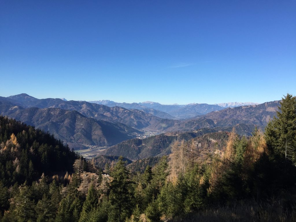
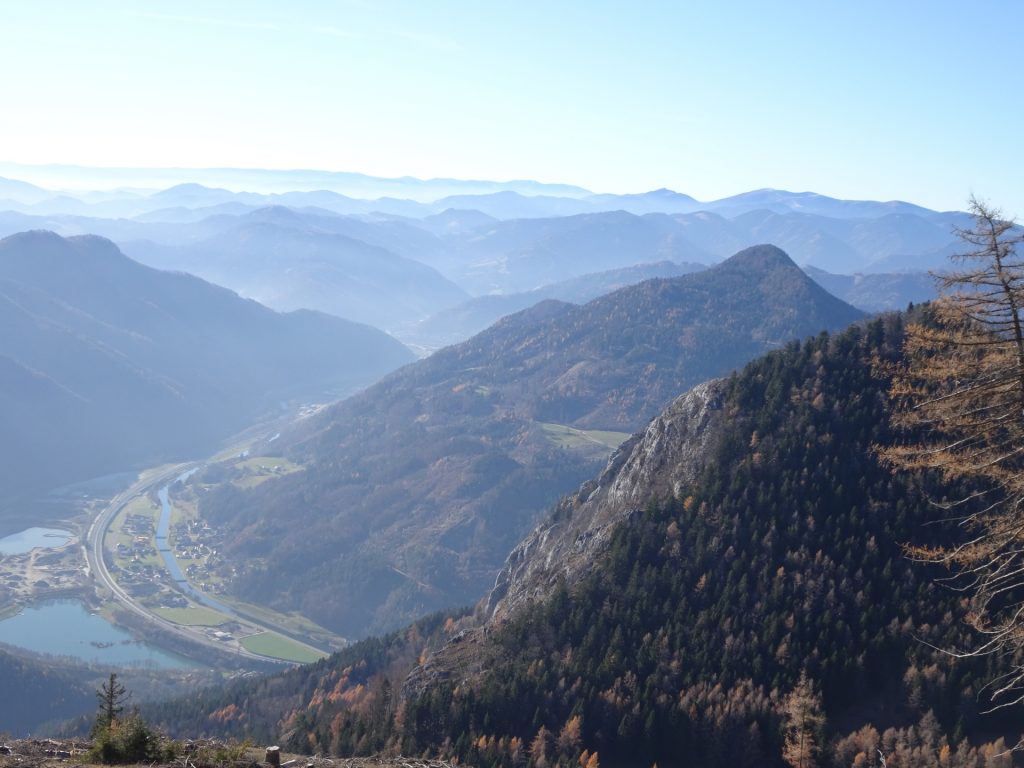
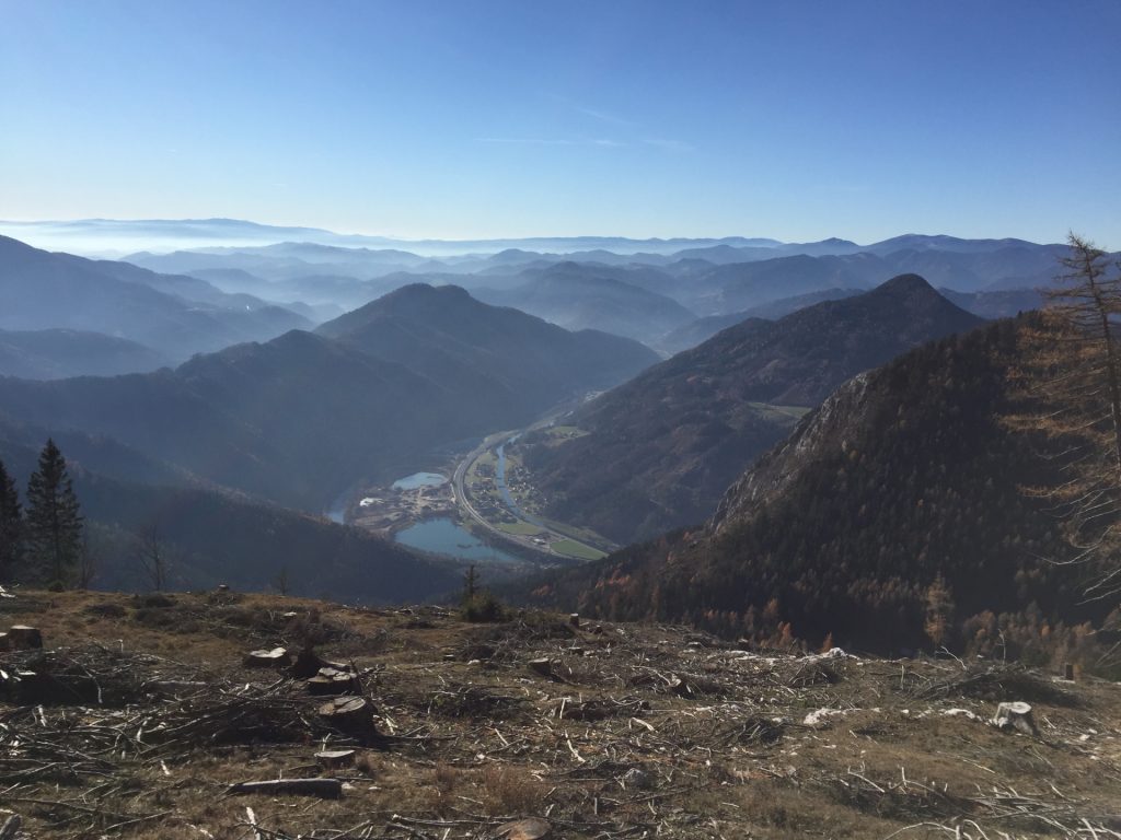
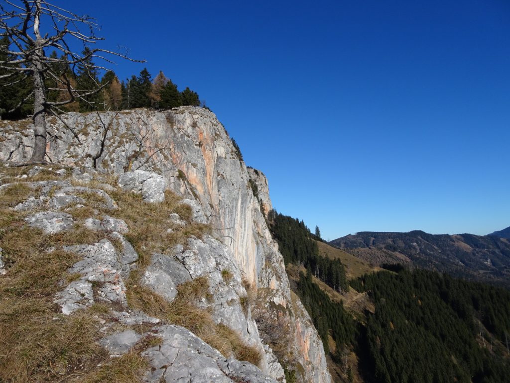
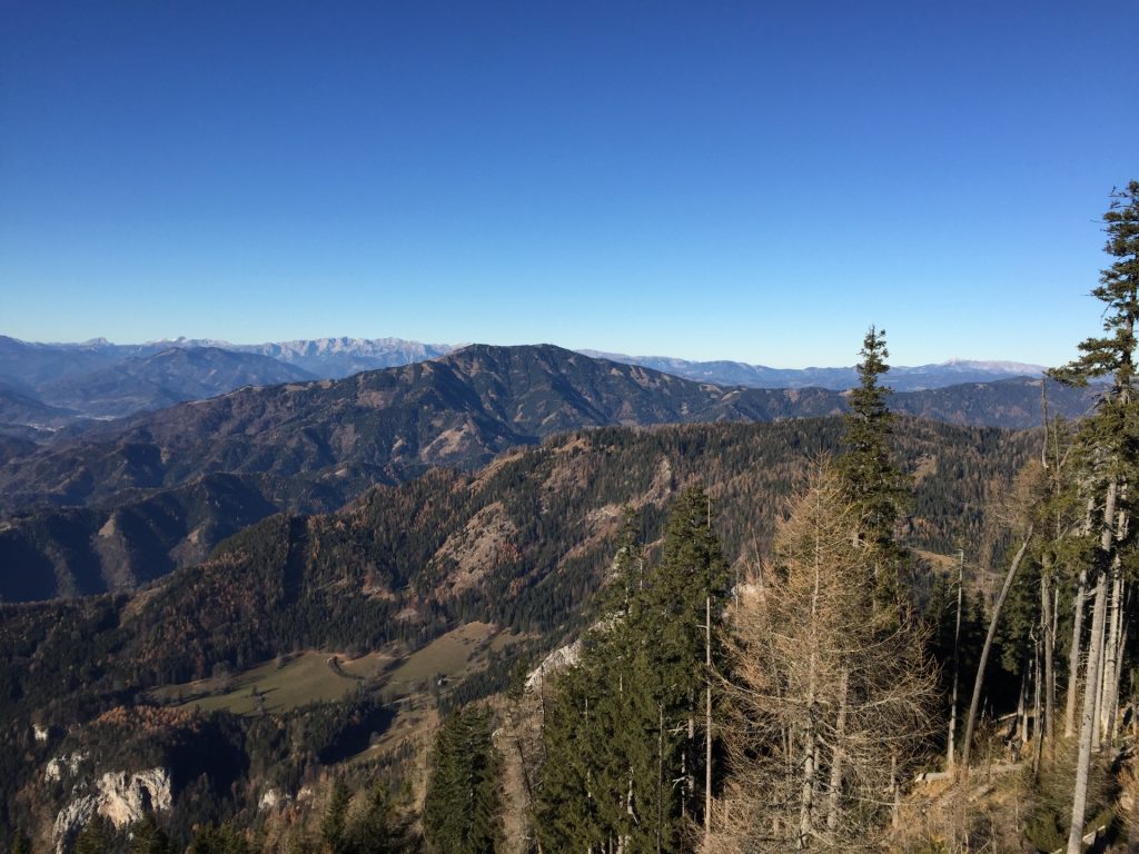
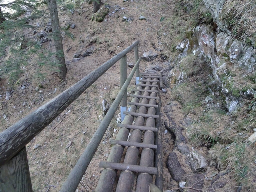
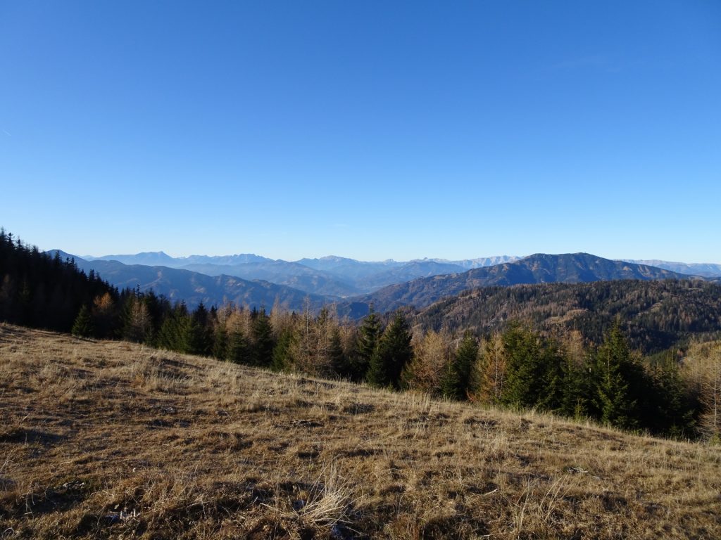
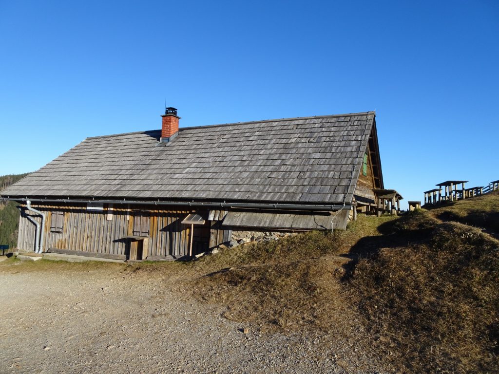
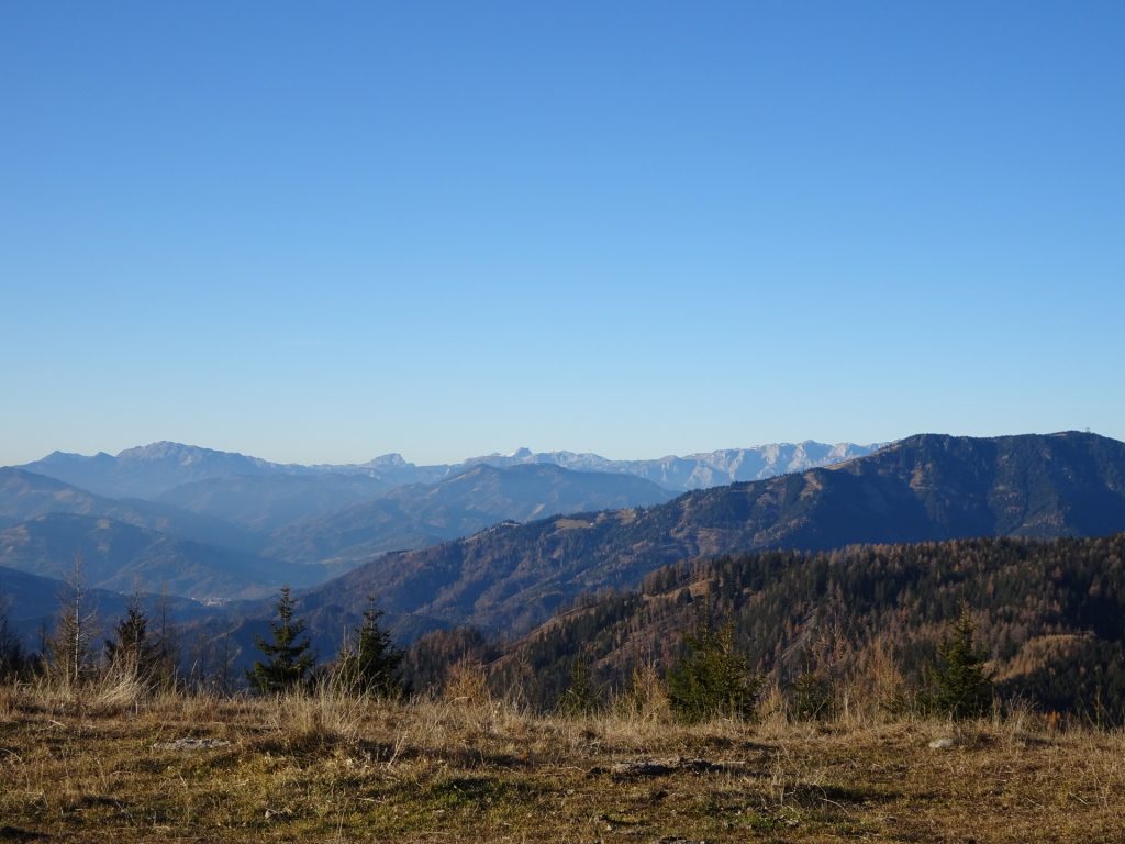
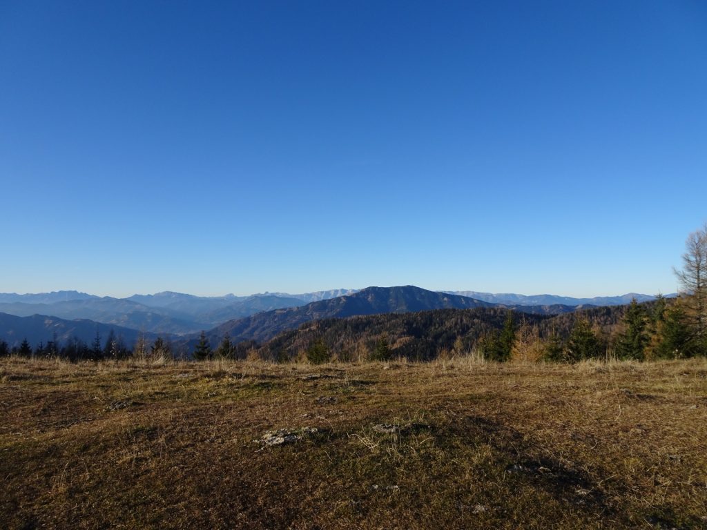
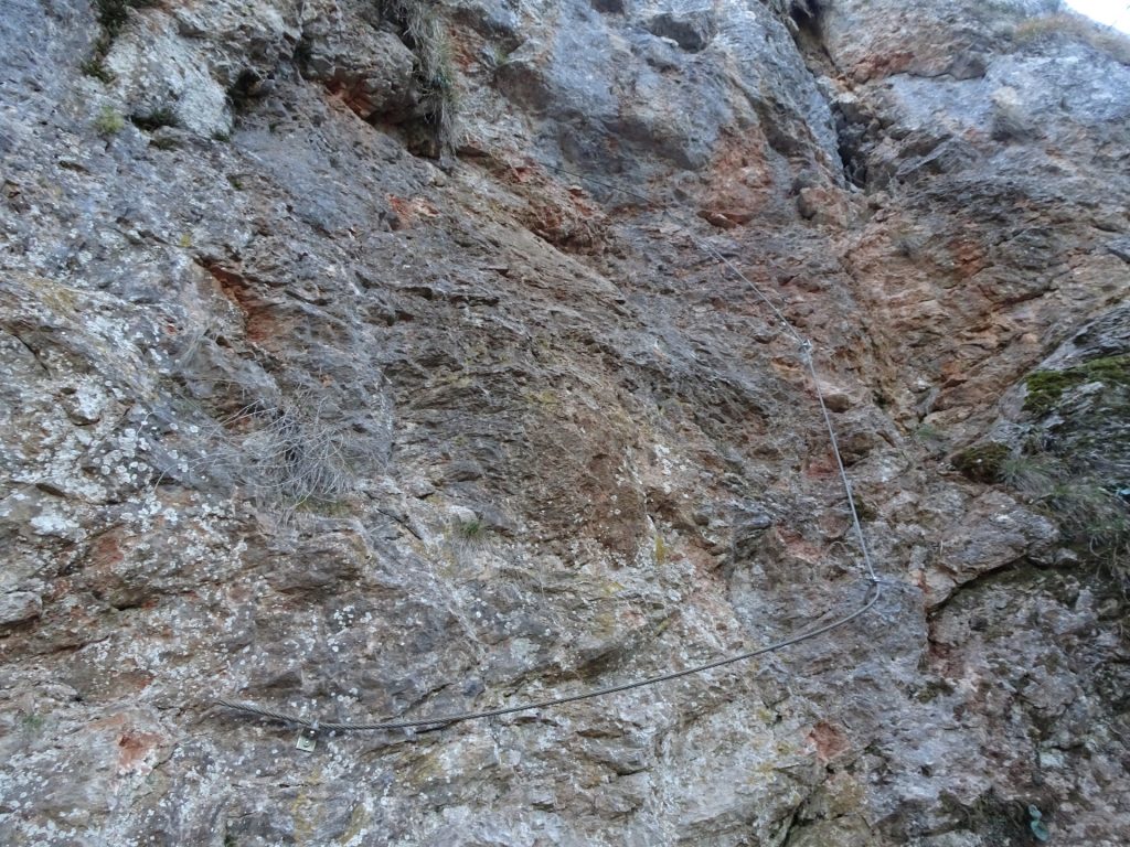
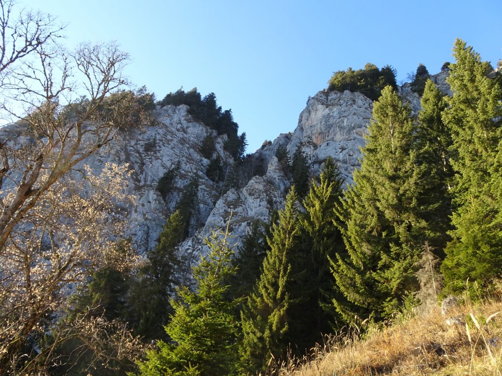
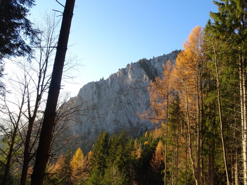
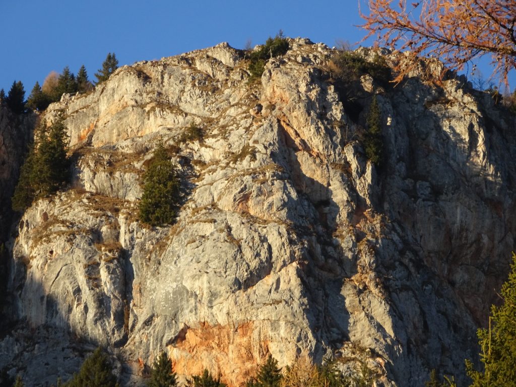
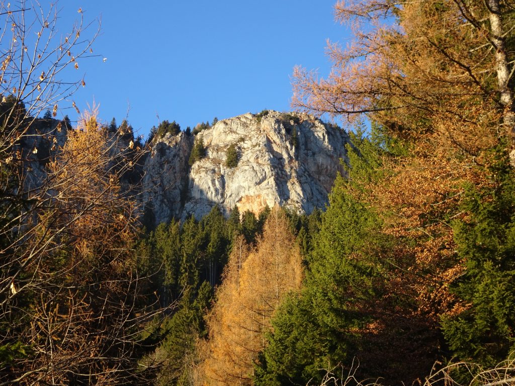
This long but really promising tour starts from Mixnitz and first follows the hiking trail up towards the impressive Drachenhöhle cave. Already the first part offers various view points with scenic views towards the Grazer Bergland till Hochschwab. The ascent towards the Drachenhöhle becomes steep and alpine but is protected by iron chains which makes it an easy via ferrata (Cat. A). After exploring a bit the Drachenhöhle, the tour continues via abandoned trails up to Röthelstein (with a small detour to another view point). Please note that the former wooden ladder leading towards Röthelstein is destroyed and thus the trail requires basic climbing skills (UIAA I). After enjoying the view from Röthelstein, the tour descends to the Bucheben pass and then ascends again on a scenic trail towards and then along the ridge of Rote Wand. The tour then continues eastwards to the Tyrnauer Almhütte for some well-deserved break and refreshments. The descent is done along the Rote Wand back to Mixnitz.
| 00:00 | Start at the parking Mixnitz / Heubergstüberl (GPS: 47.322389, 15.369186) and follow the road southwards for a few meters. |
| 00:05 | At the crossing, turn left and follow the red-white-red marked trail. |
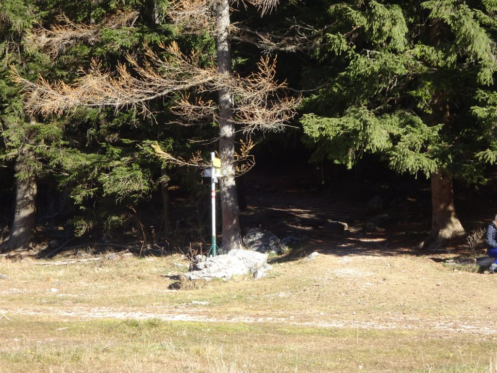
| 00:15/td> | At the crossing, turn left and follow the trail towards Drachenhöhle (see signpost). |
| 00:25 | At the crossing, first follow the forest road and then turn right and follow the red-white-red marked trail upwards. |
| 00:30 | Keep left and continue following the red-white-red marked trail. |
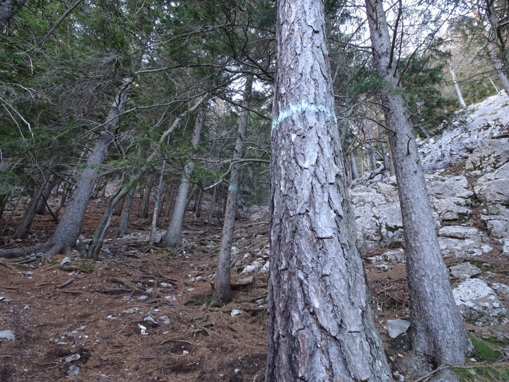
| 00:35 | Keep right and follow the red-white-red markings on the trees towards Drachenhöhle. |
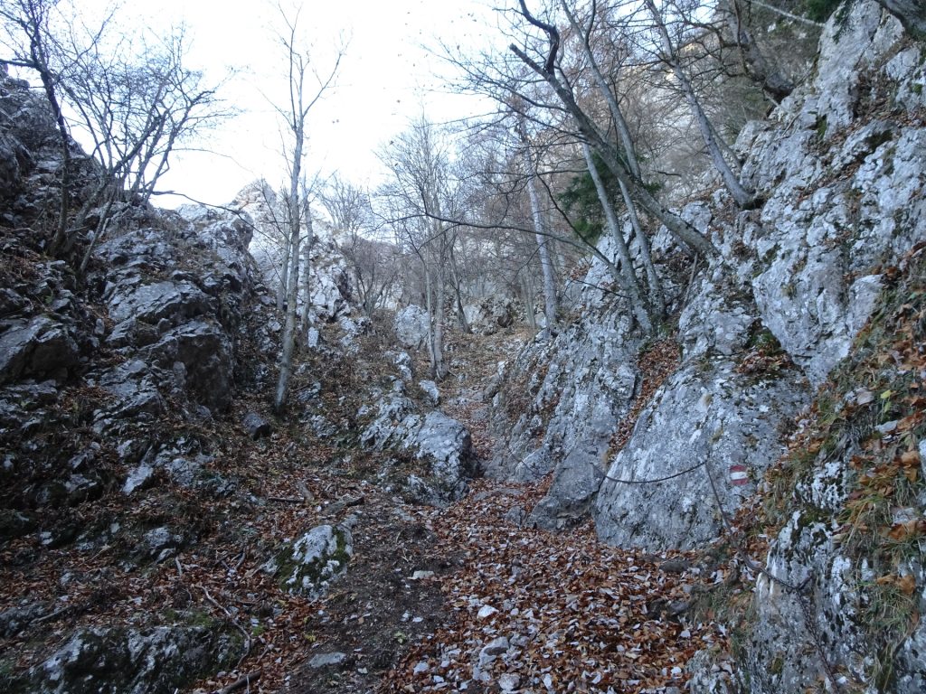
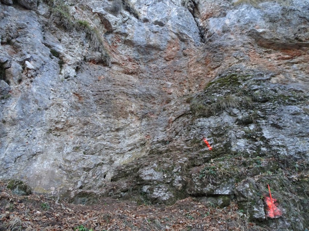
| 00:55 | Ascend through the channel that is protected with iron chains (easy Via Ferrata). |
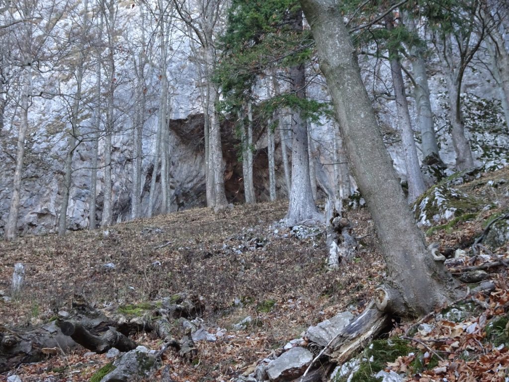
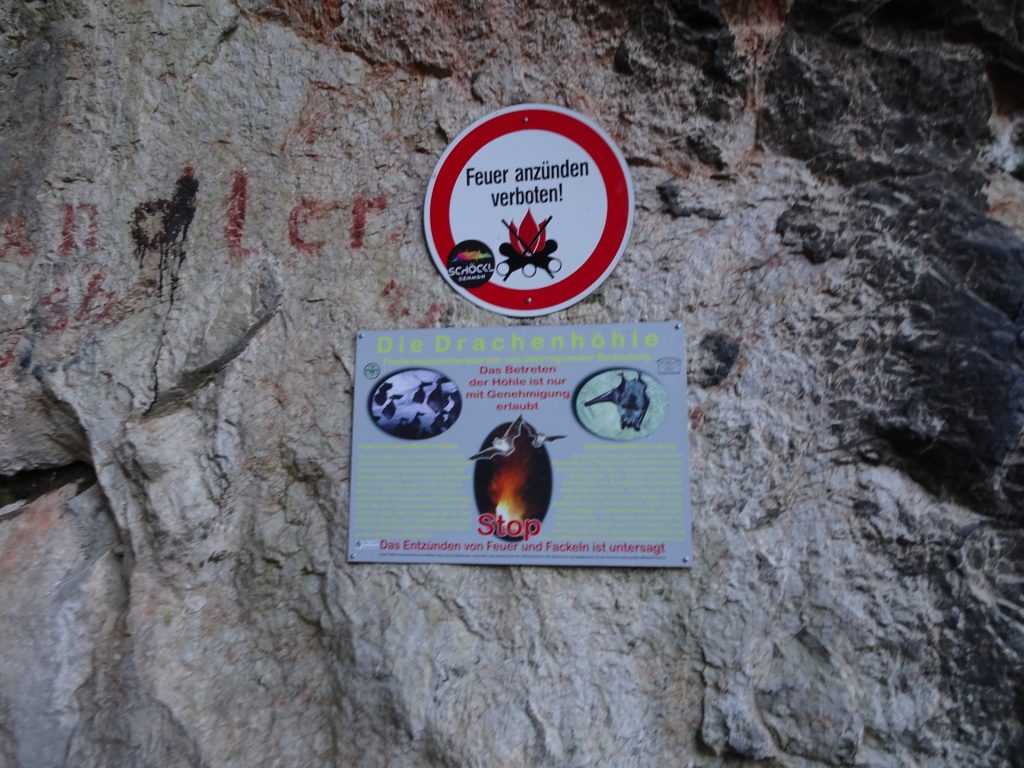
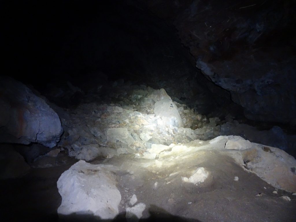
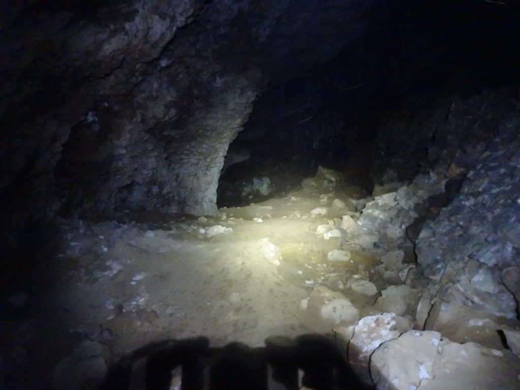
| 01:05 | Explore the portal of the Drachenhöhle cave. |
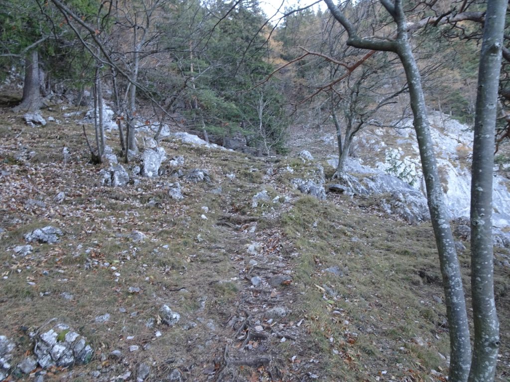
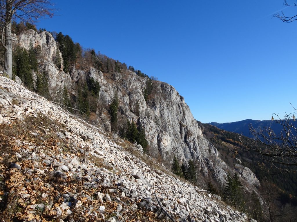
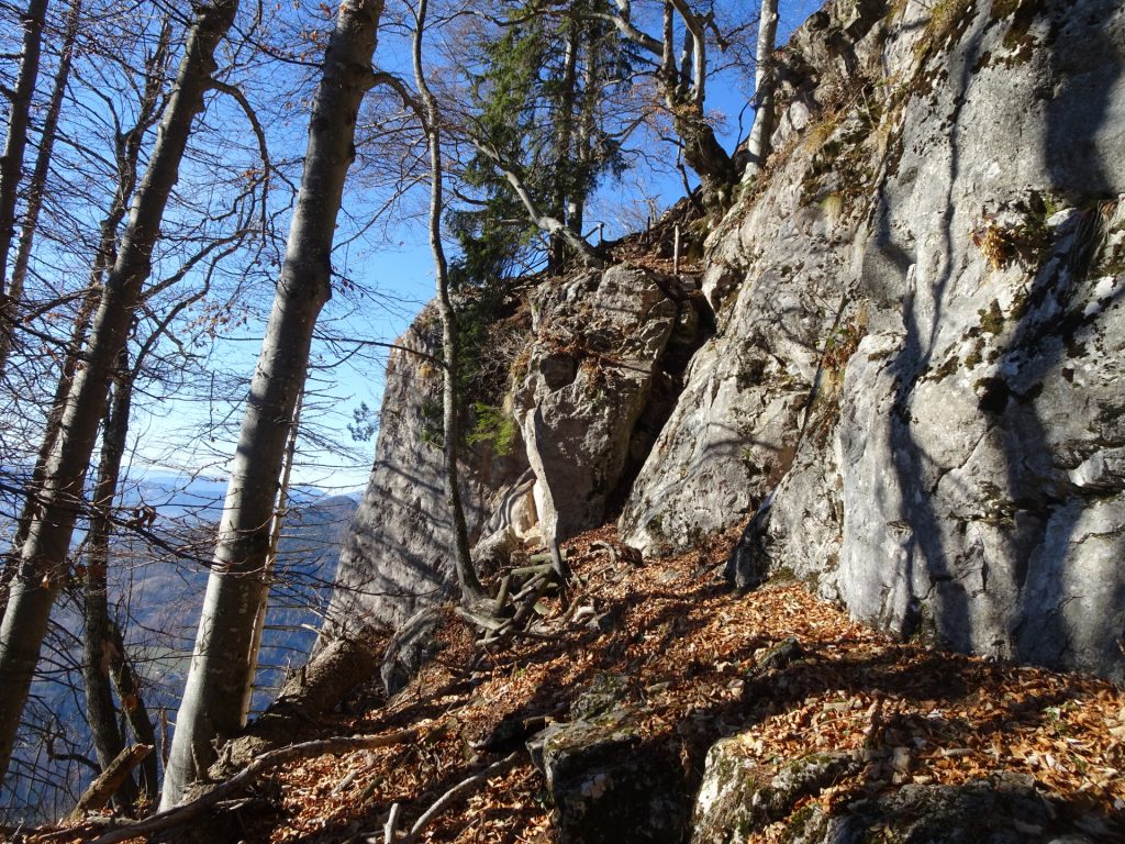
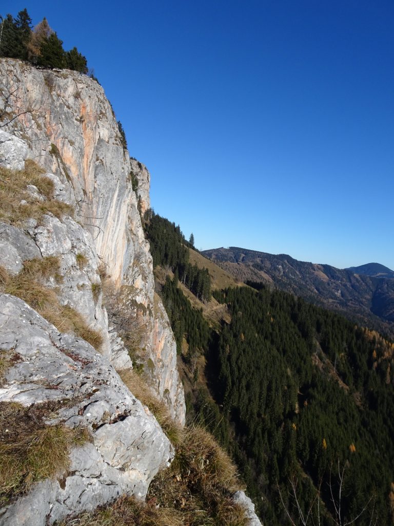
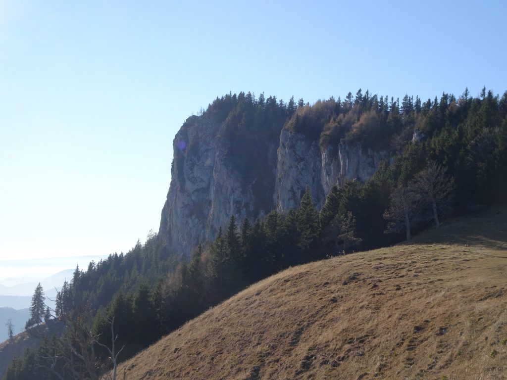
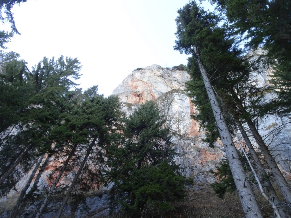
| 01:15 | Continue following the now unmarked trail southwards along the wall. |
| 01:20 | Keep slightly right and continue ascending on the unmarked trail through the forest. |
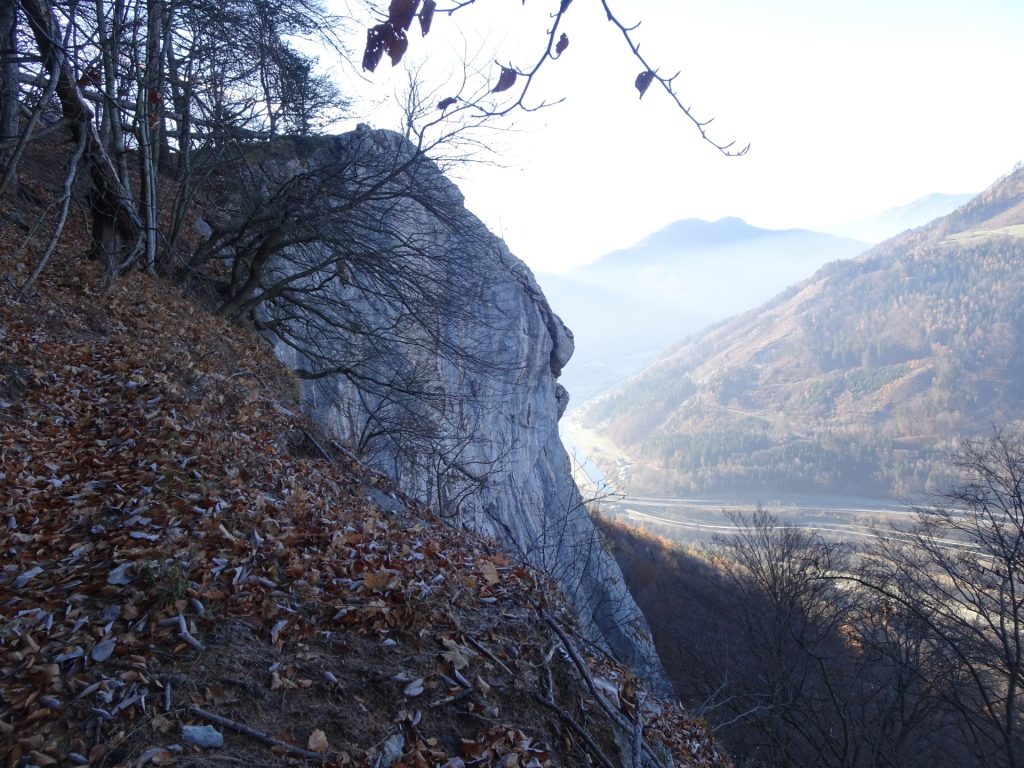
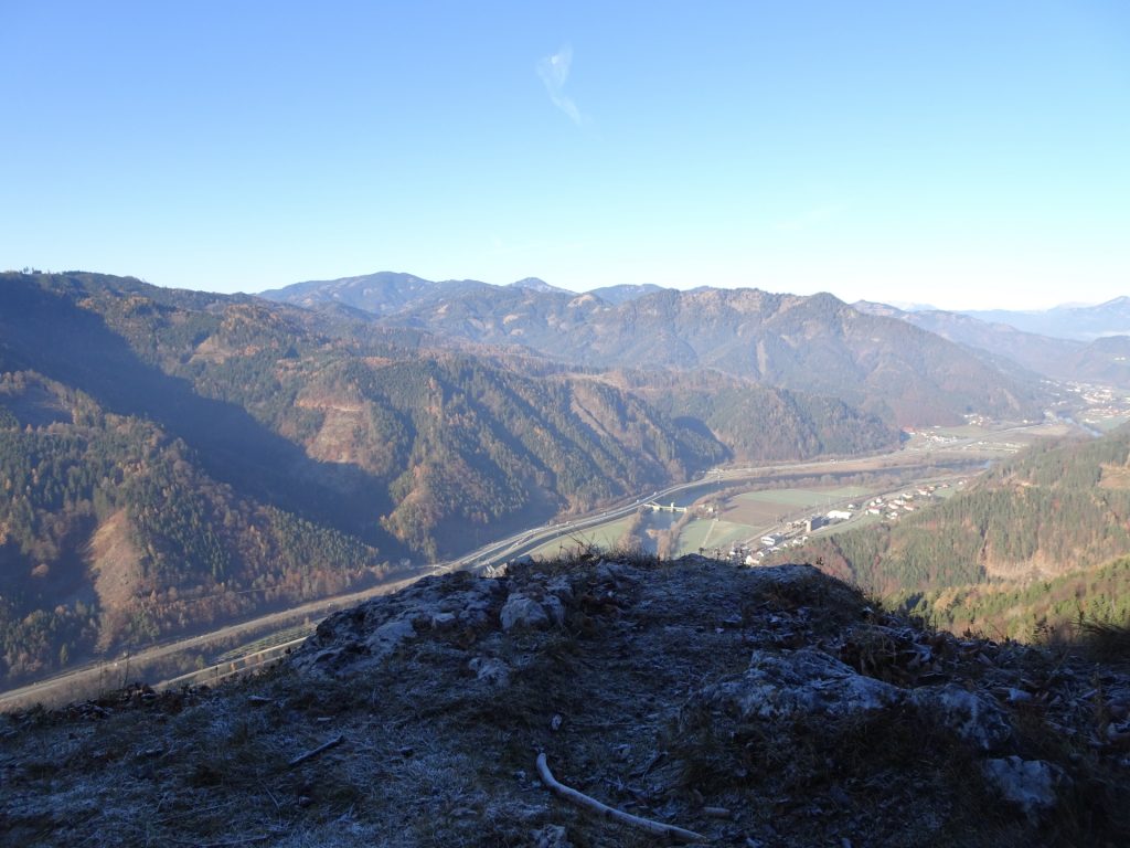
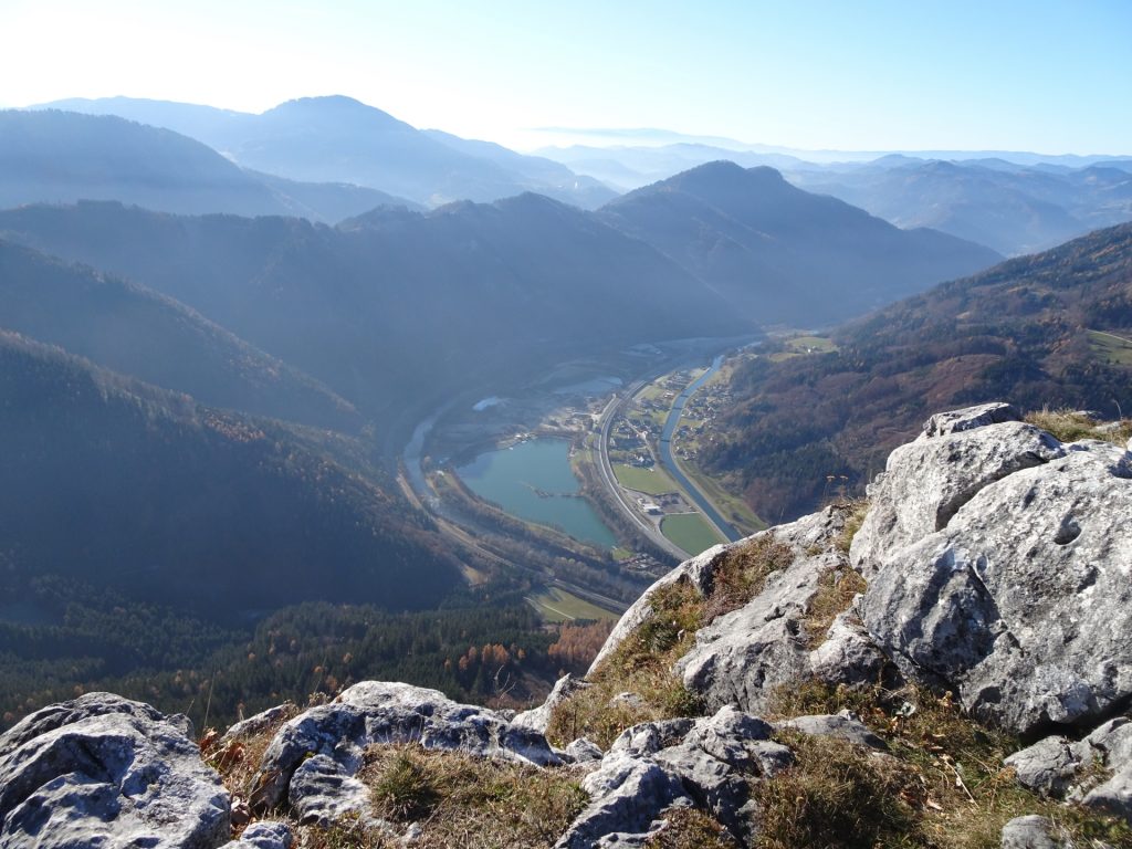
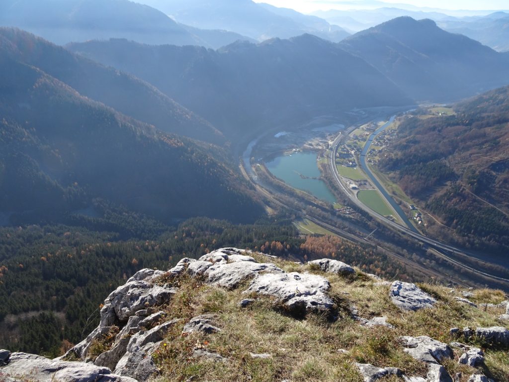
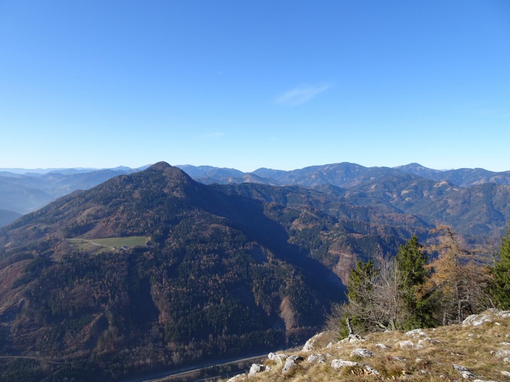
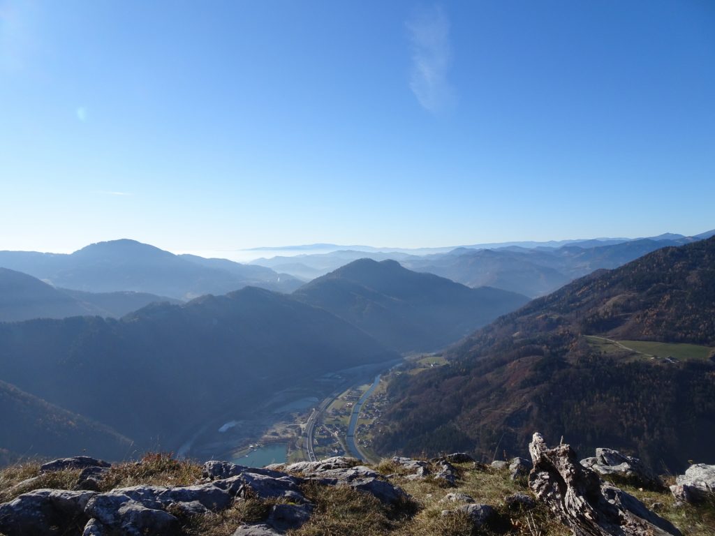
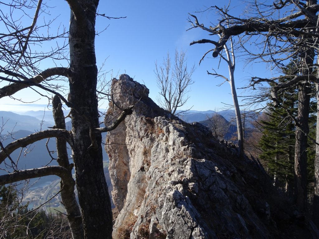
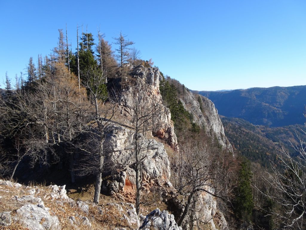
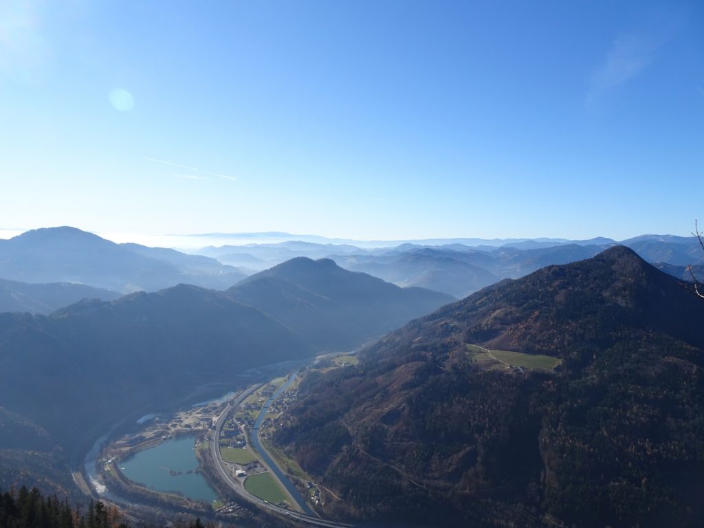
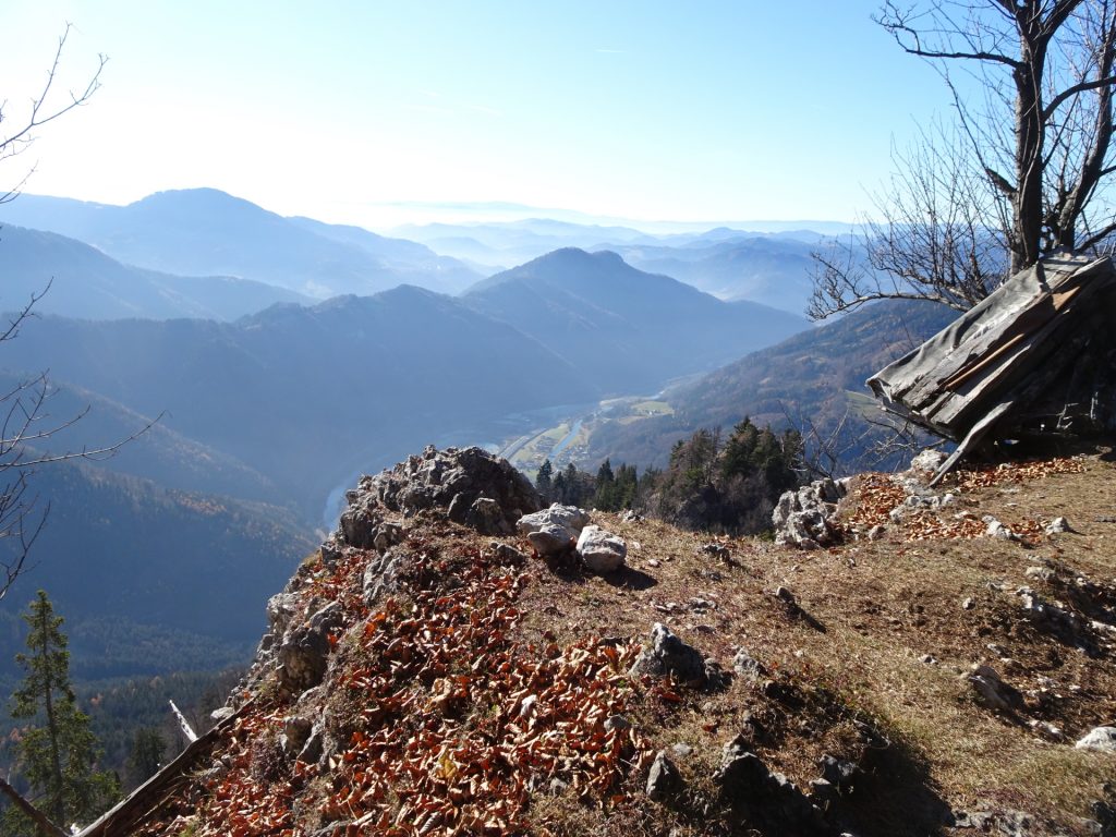
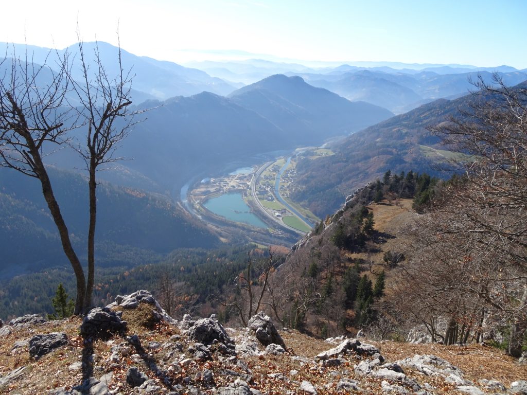
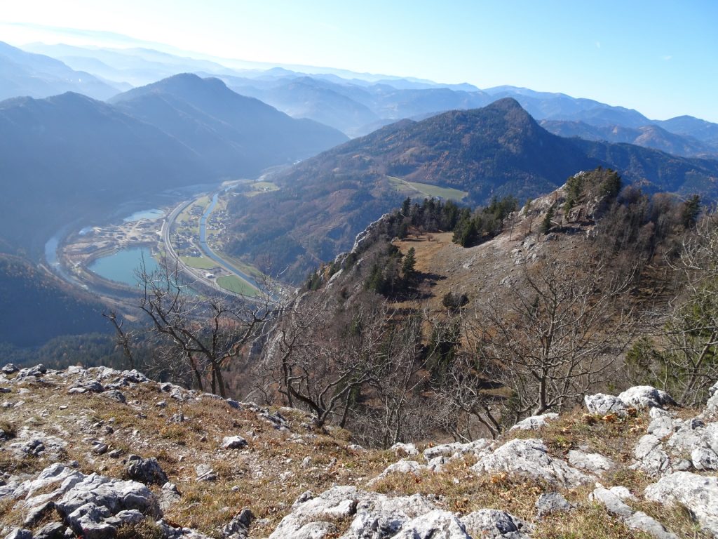
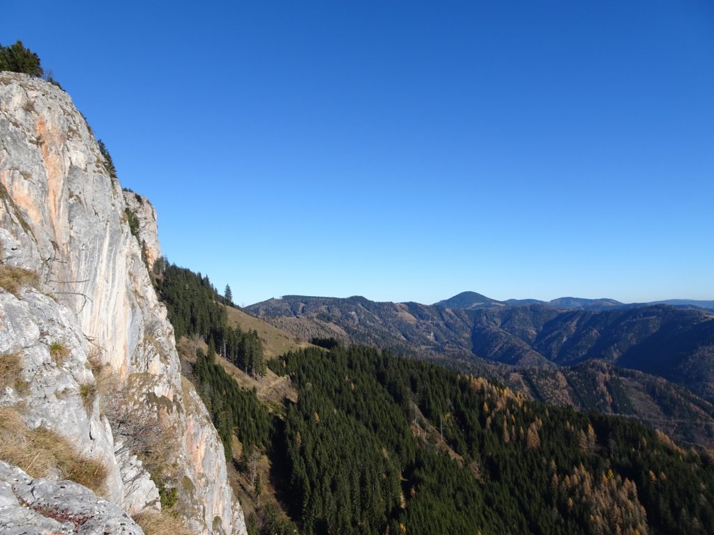
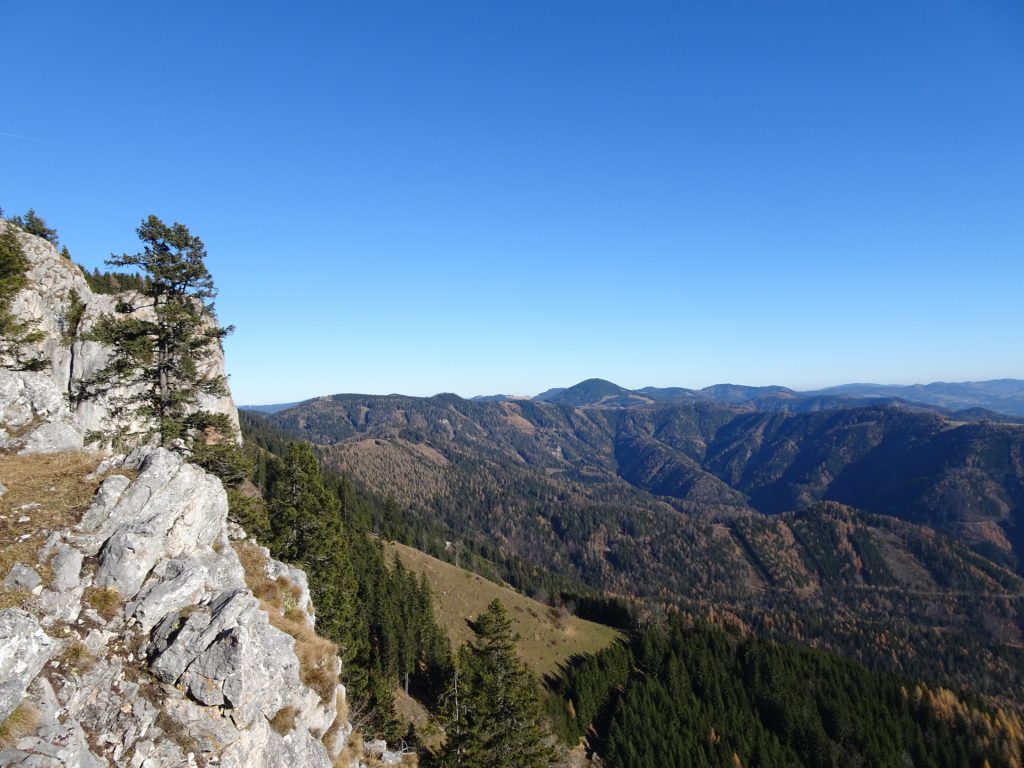
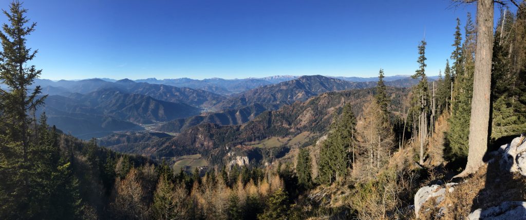
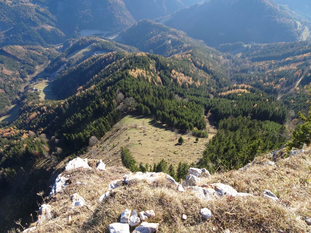
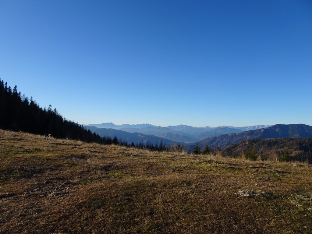
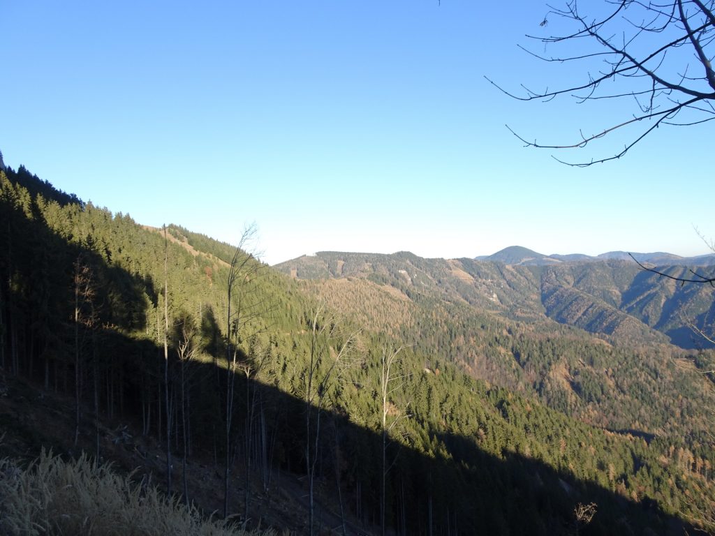
| 01:30 | Detour: Turn right and follow the small trail (see stone markings) towards the ridge. From there you have an awesome view towards Grazer Bergland. |
| 01:35 | Go back to the hiking trail and continue following it up northwards. |
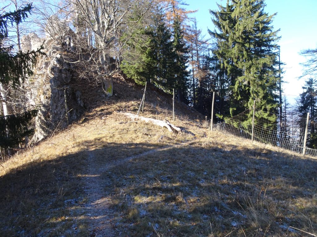
| 01:45 | Keep straight ahead and now climb up towards the plateau. |
| 01:55 | Detour: At the crossing, turn left and follow the trail westwards below the ridge. |
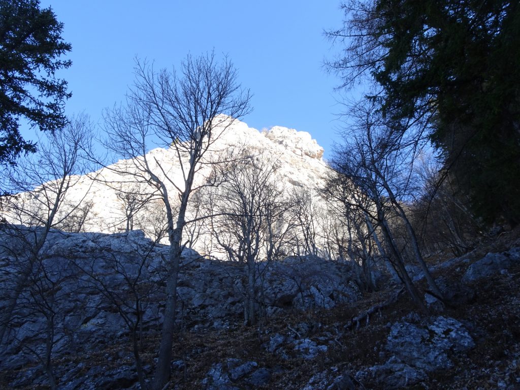
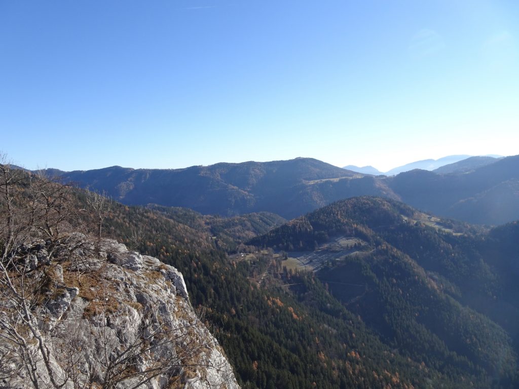
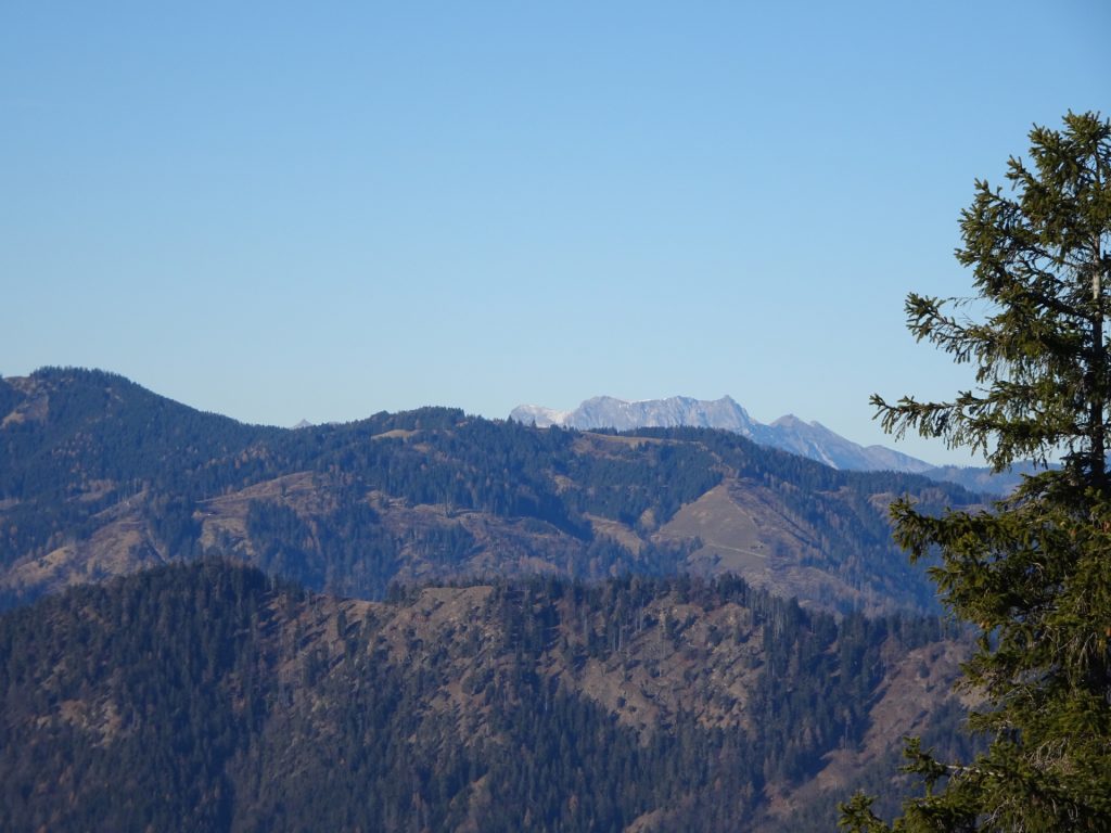
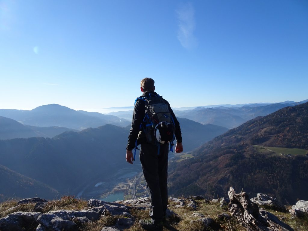
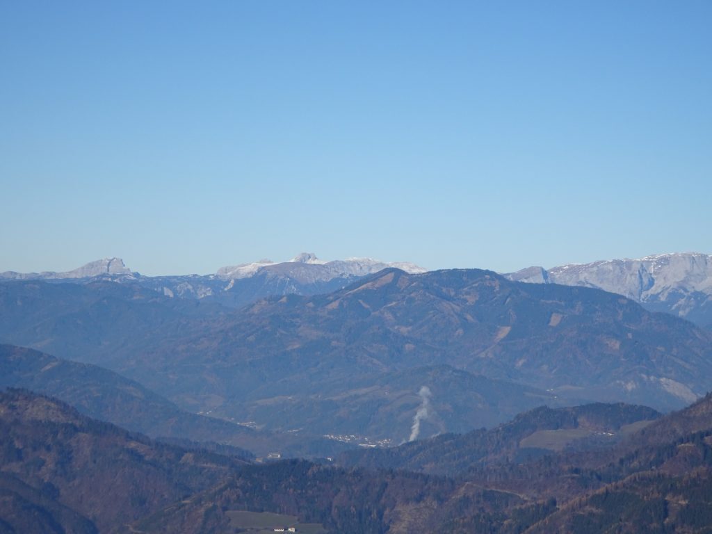
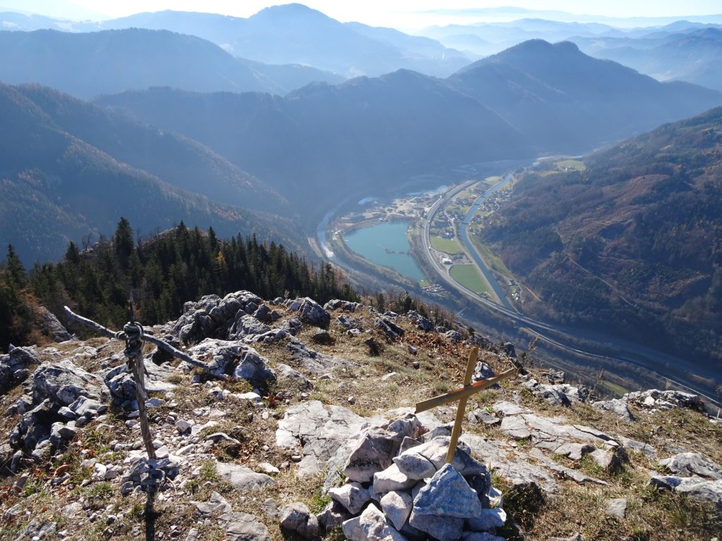
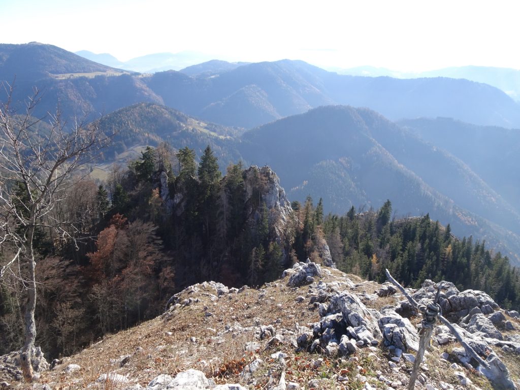
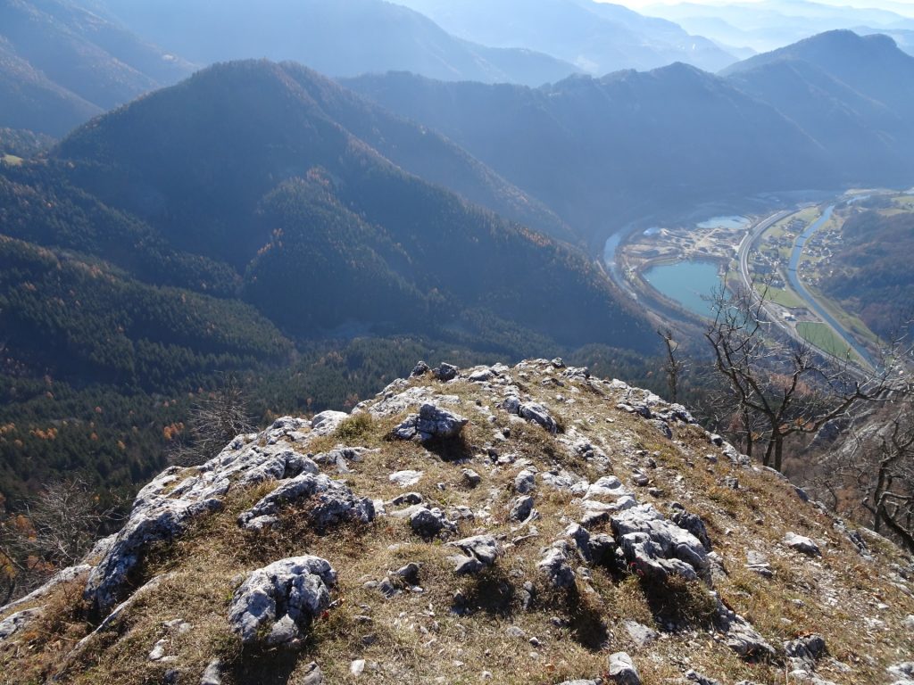
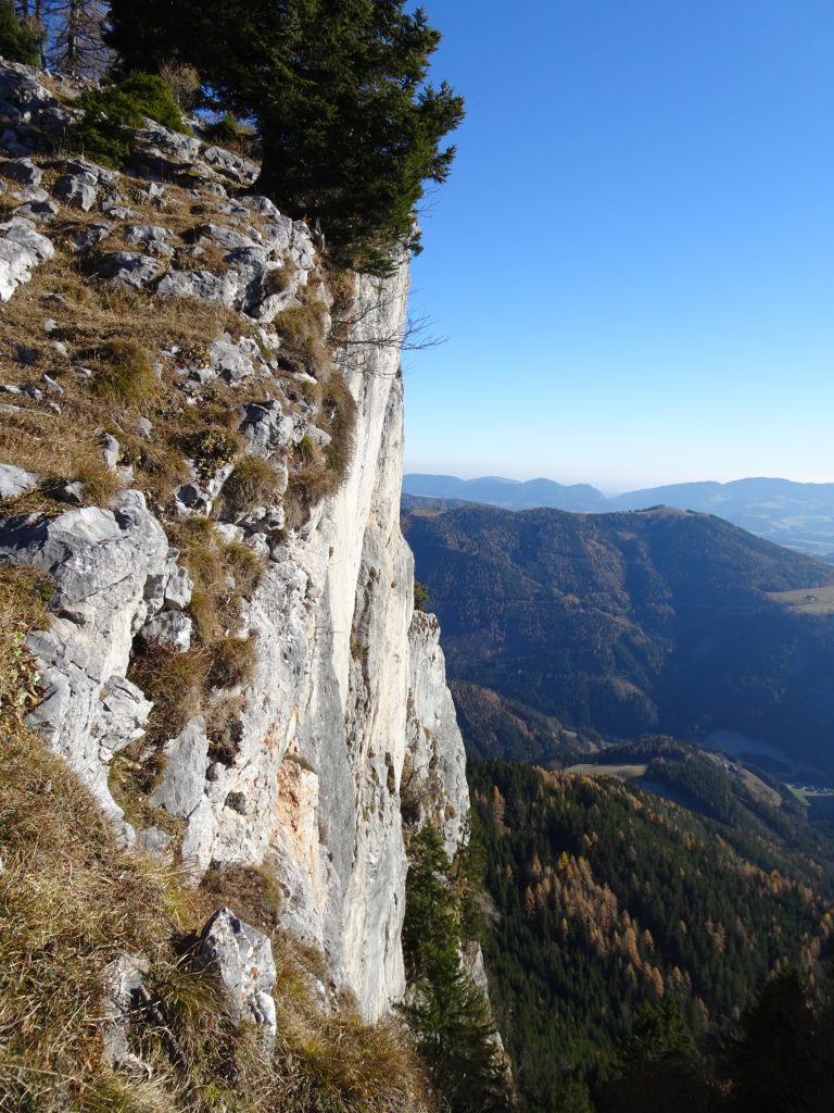
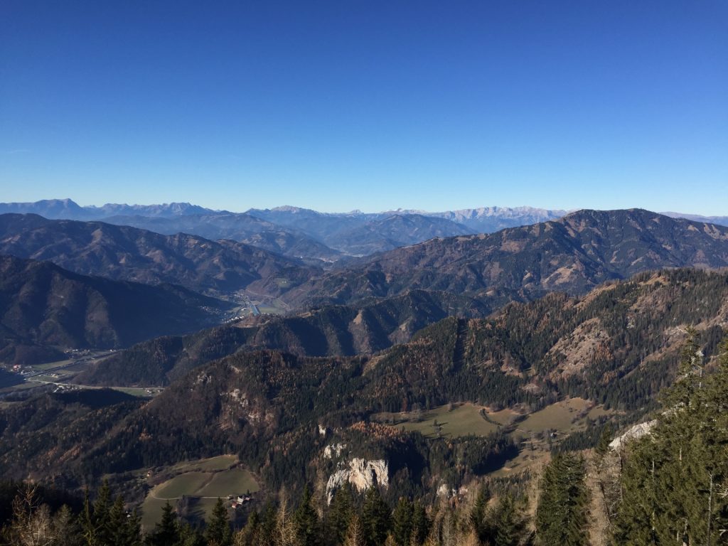
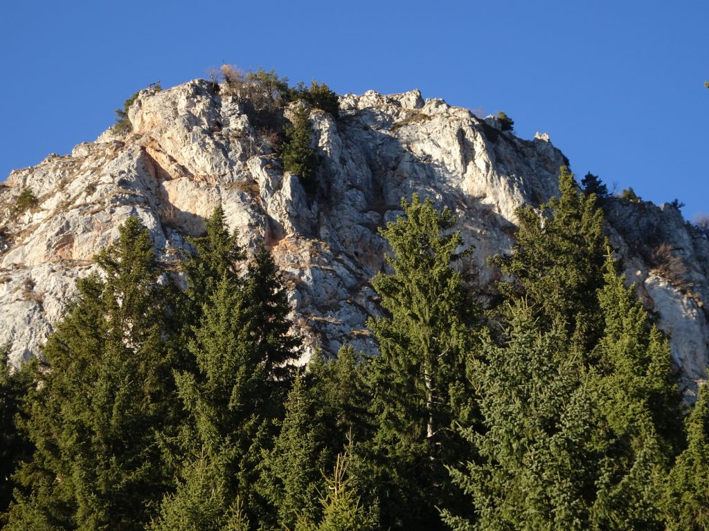
| 02:00 | Climb up to the summit and viewpoint. Enjoy the view towards Grazer Bergland in the south and Hochschwab in the north. |
| 02:05 | Hike back to the crossing. |
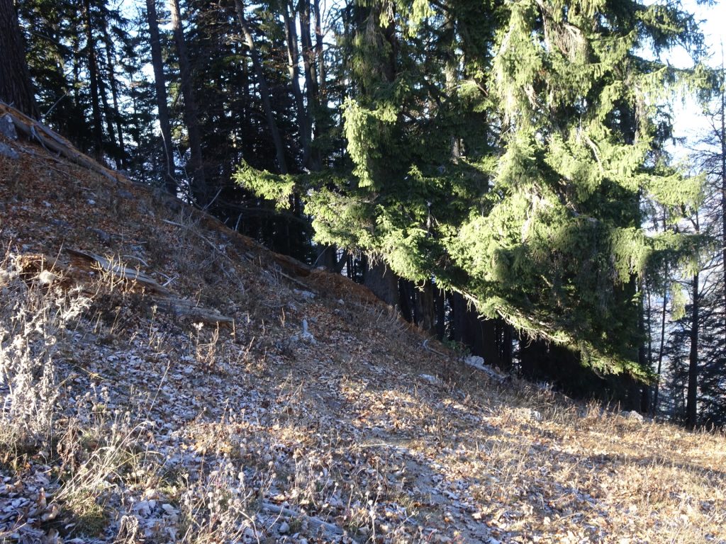
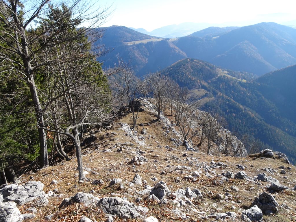
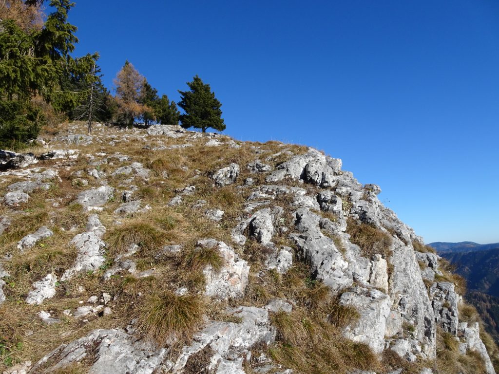
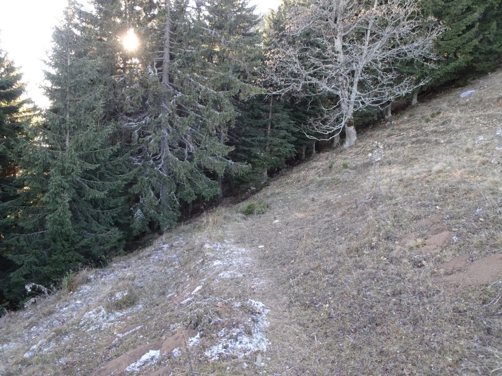
| 02:10 | Stay straight ahead (keep slightly right) and follow the former marked trail (you will see the paint-over) along the ridge towards Röthelstein. |
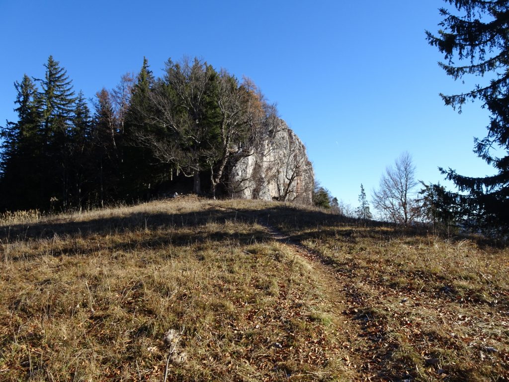
| 02:20 | Pass by Röthelstein and continue following the trail along the ridge now descending. |
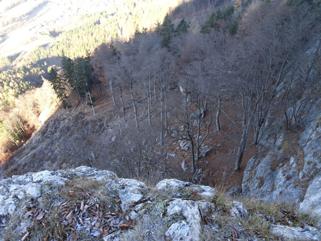
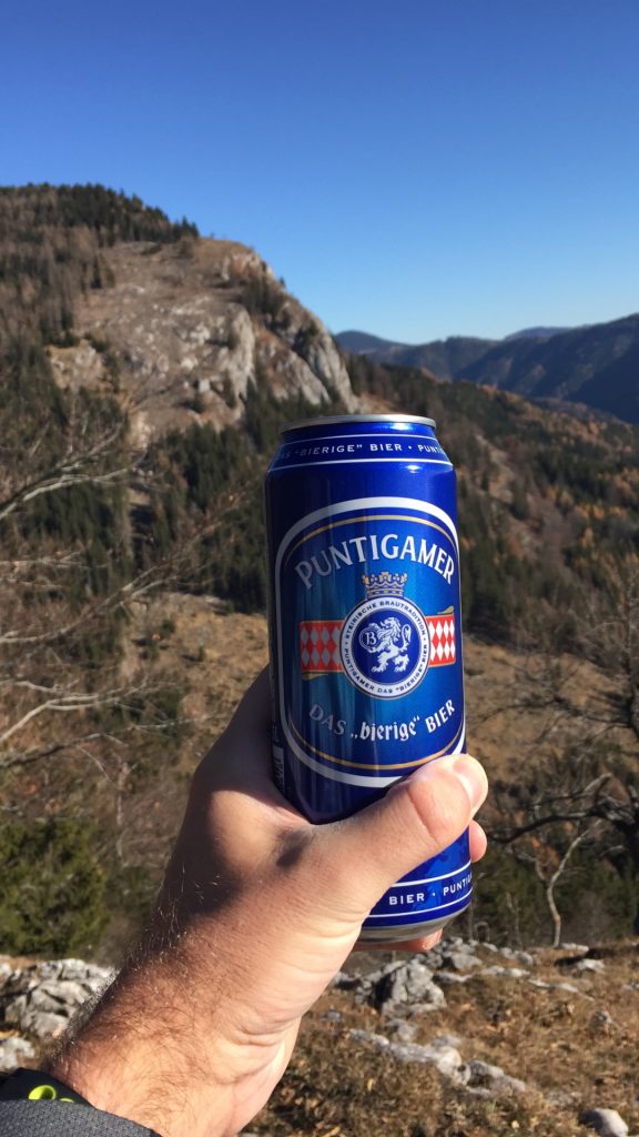
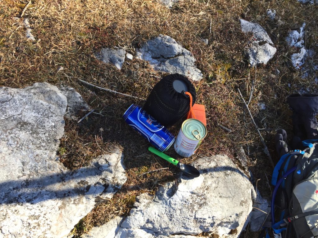
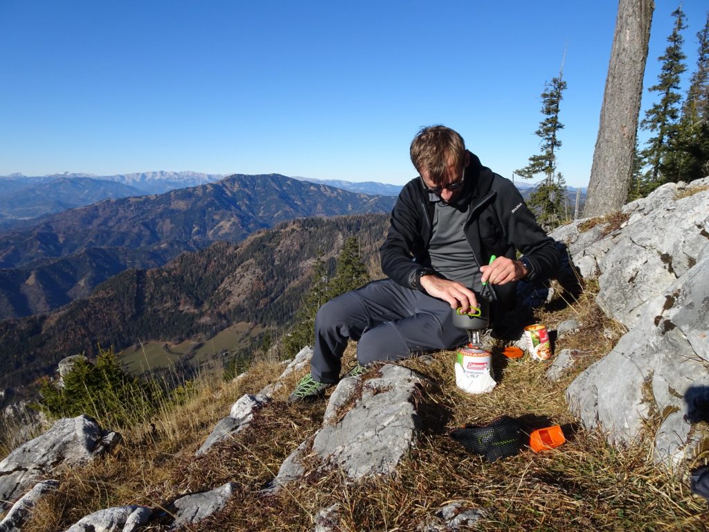
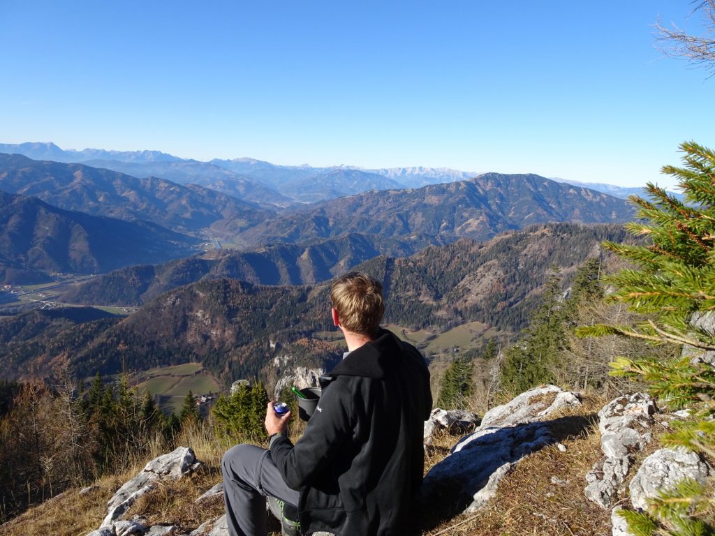
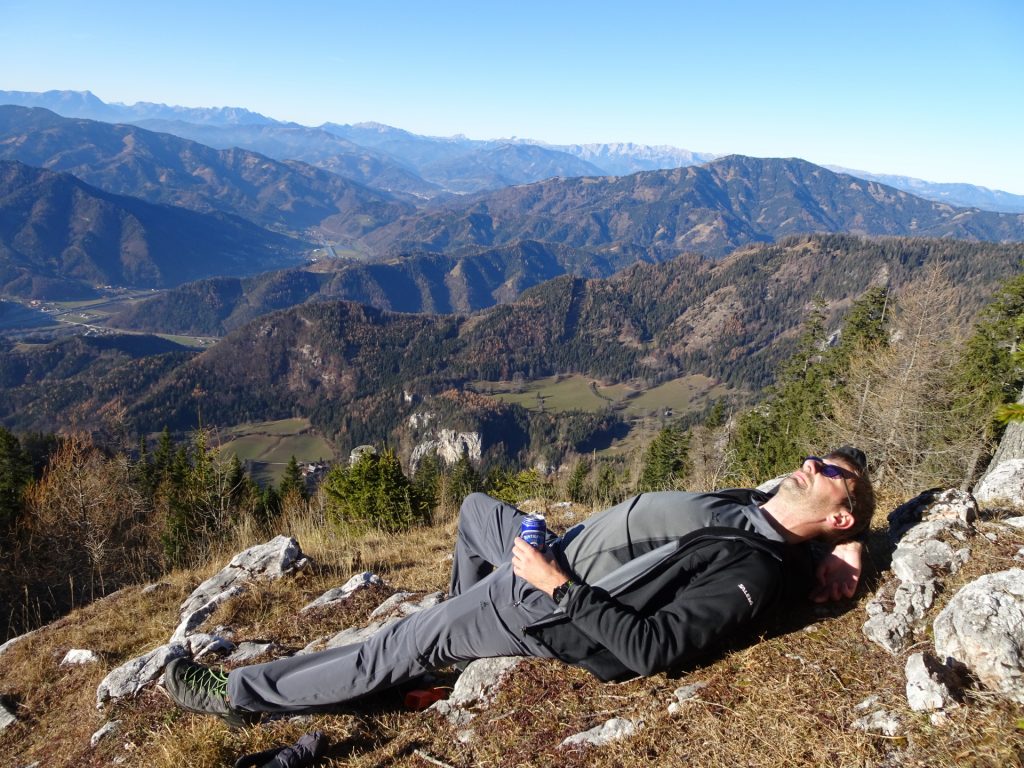
| 02:30 | Enjoy the view from the viewpoint at the ridge. Best enjoyed with some self-brought refreshments (). |
| 02:35 | Descend via the trail heading northeastwards towards Bucheben. |
| 02:55 | At Bucheben, stay straight ahead and follow the now again red-white-red marked trail up to Rote Wand. |
| 03:05 | At the crossing, stay left and continue following the red-white-red marked trail to Rote Wand. |
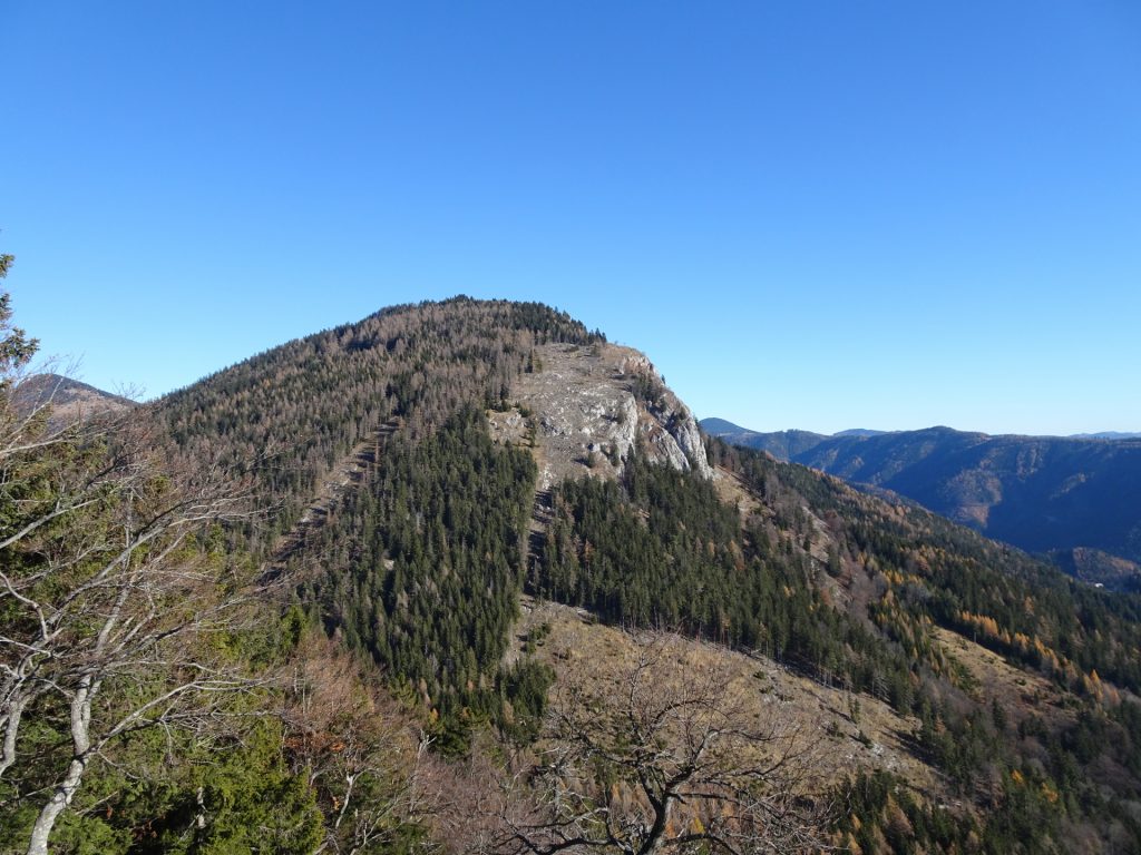
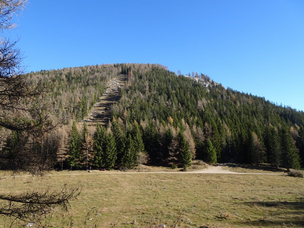
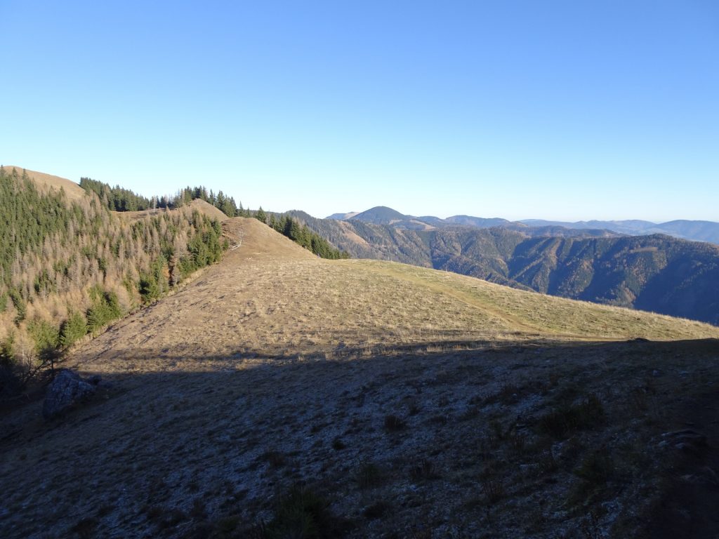
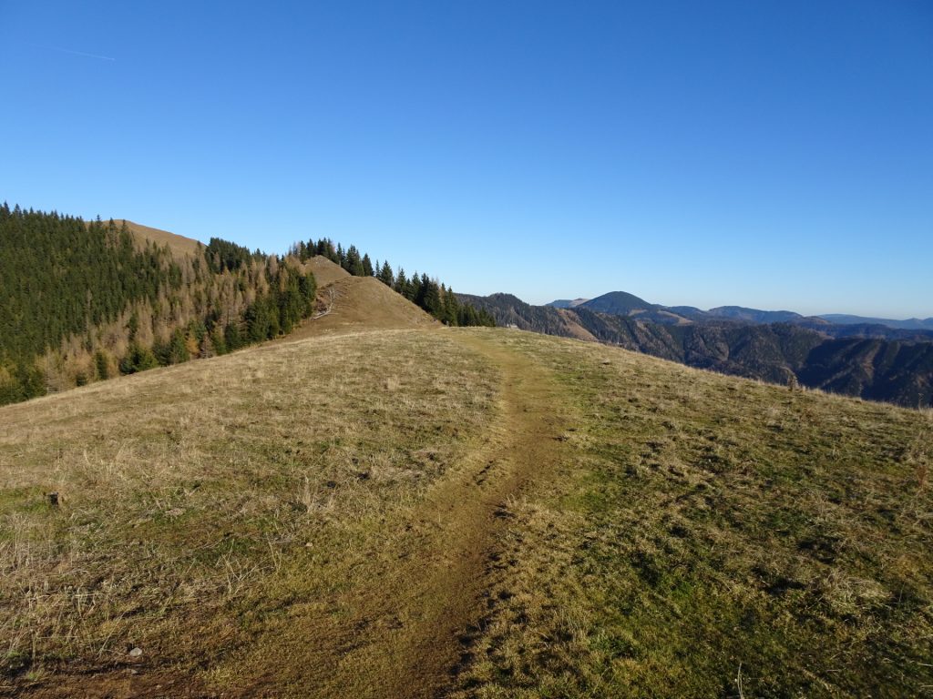
| 03:25 | Follow the scenic trail along the ridge upwards. |
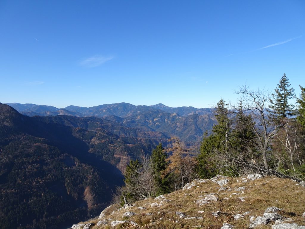
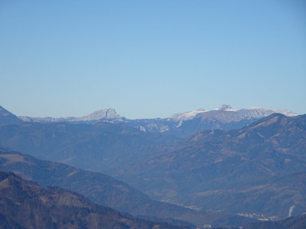
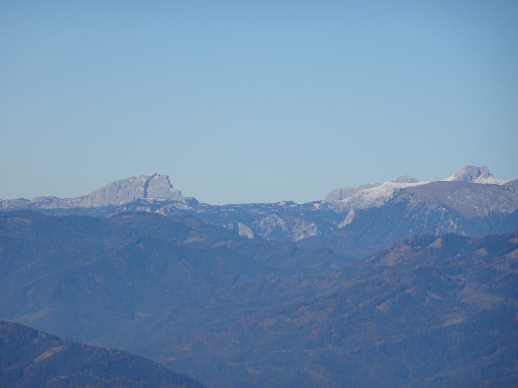
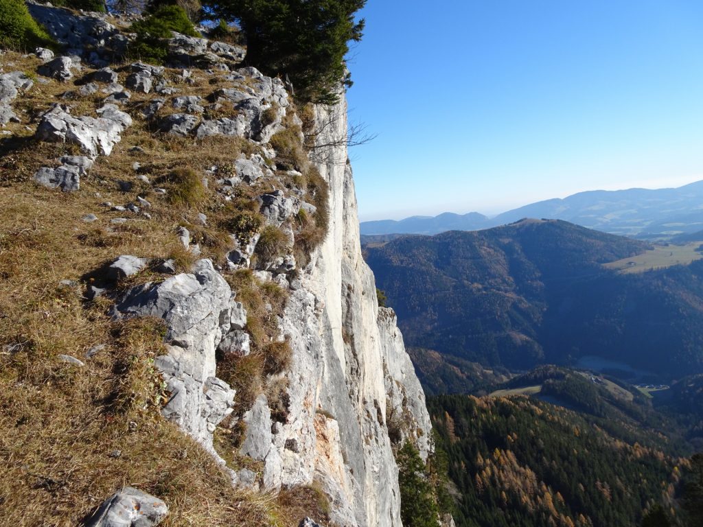
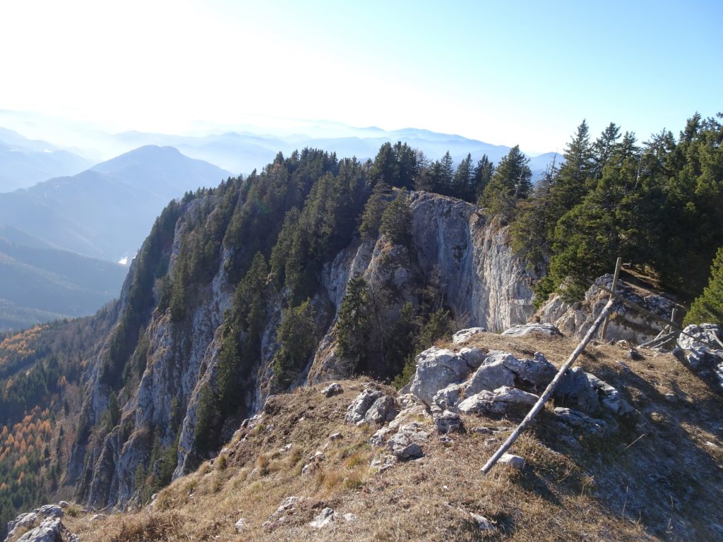
| 03:50 | Recommended detour: At the plateau, turn left and hike towards the ridge northwards which allows a scenic and unique view towards Hochschwab. This view is indeed best enjoyed with some self-brought refreshments (). |
| 04:00 | Hike back towards the trail and continue following it towards the summit cross of Rote Wand. |
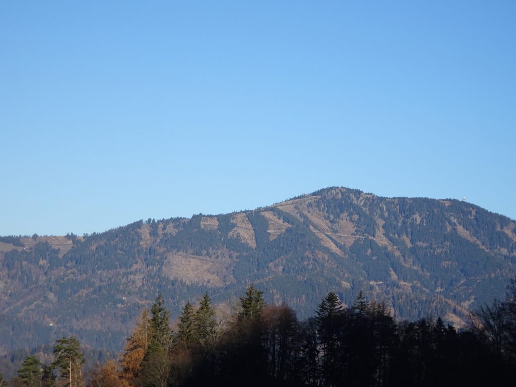
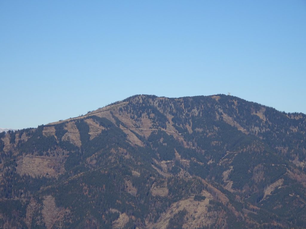
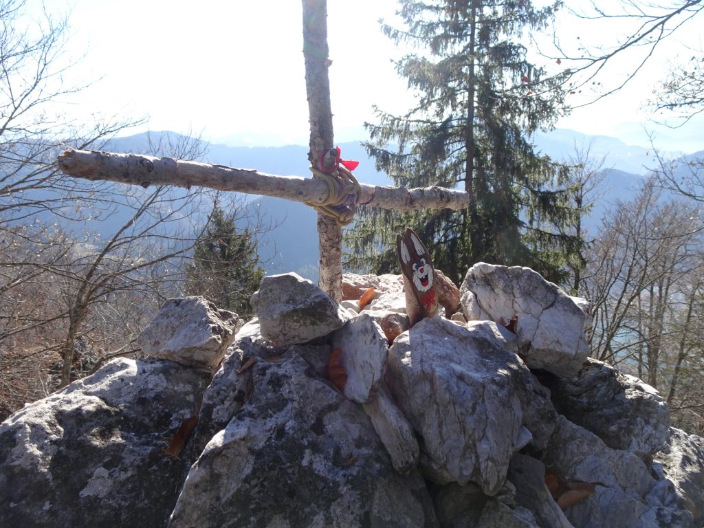
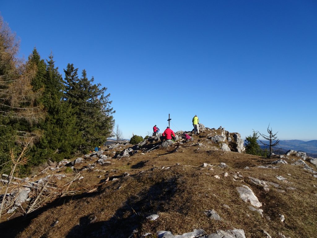
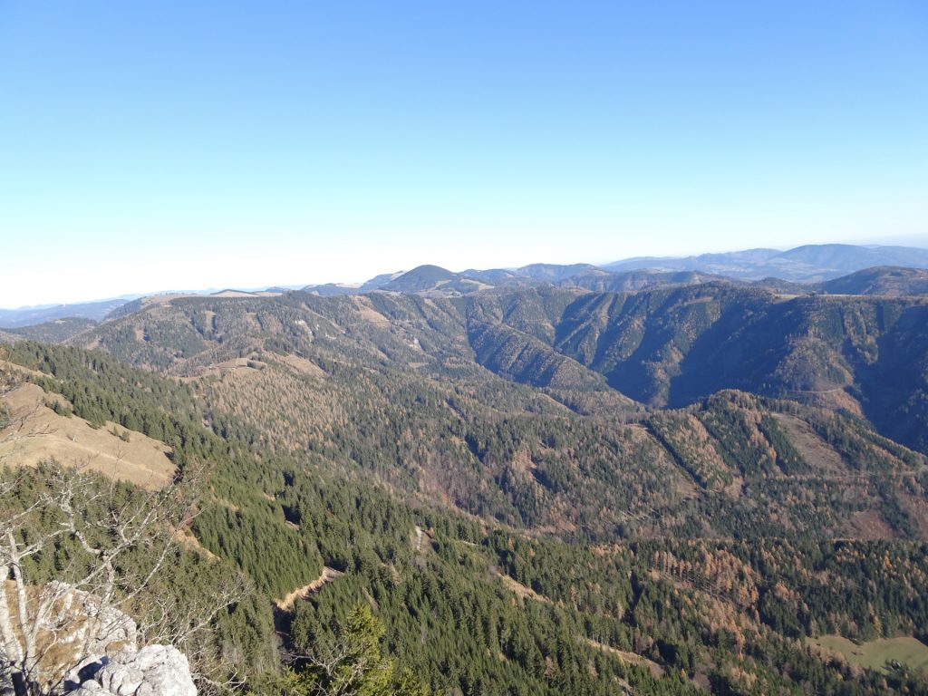
| 04:05 | Enjoy the panoramic view from the summit of Rote Wand. |
| 04:10 | Continue following the trail northeastwards descending to Tyrnauerhütte. |
| 04:25 | Enjoy the view from the saddle and then keep right and follow the trail towards Tyrnauer Almhütte. |
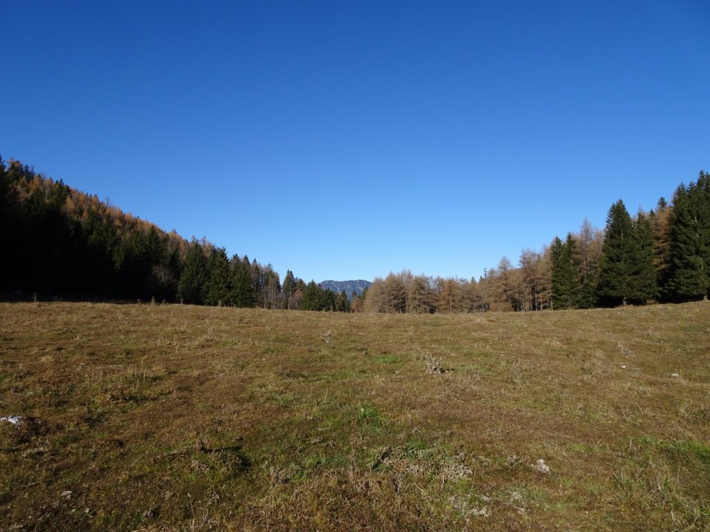
| 04:40 | Turn slightly left and follow the forest road towards the Tyrnauer Almhütte. |
| 04:45 | Well deserved break ( ) at the Tyrnauer Almhütte. |
| 05:30 | Hike back towards the saddle (described here) or take it easier and simply follow the forest road back towards Mixnitz. |
| 05:50 | At the saddle, keep left and follow the unmarked but visible trail. |
| 06:00 | Awe to the start of the Frohnleitner Band Via Ferrata (D). Continue following the trail southwards. |
| 06:10 | At the crossing, keep left and descend towards the forest street. |
| 06:20 | Cross the forest street and continue on the trail downwards. |
| 06:35 | Follow the forest street southwestwards. |
| 06:45 | Turn left and follow the hiking trail downwards. |
| 07:00 | Cross the forest road and follow the trail westwards heading directly back to the parking. |
| 07:30 | Back at the parking, end of the tour. |
| Area: | Grazer Bergland, Styria, Austria | |
| Distance: | 16km | |
| Ascent: | 1363m (3h 20min) | |
| Descent: | 1363m (2h 50min) | |
| Highest Pt: | 1505m | |
| Lowest Pt: | 452m | |
| Duration: | 6h 30min (without breaks) 7h 30min (with breaks) |
|
| Stop/Rest: | Tyrnaueralm (1350m) | |
| Equipment: | Backpack with standard hiking equipment Snacks and enough water 2 Gipfelbier () Sun & Weather protection Camera GPS (strongly) recommended |
| Download GPX | ||
| O | Tour at outdooractive.com |
At a glance
| Level | difficult |
| Technique | |
| Shape / Fitness | |
| Experience | |
| Scenery | |
| Best time in the year | |
|
Jan
Feb
Mar
Apr
May
Jun
Jul
Aug
Sep
Oct
Nov
Dec
|
|












Leave a Reply