
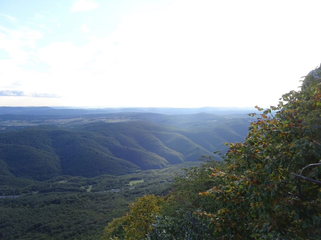
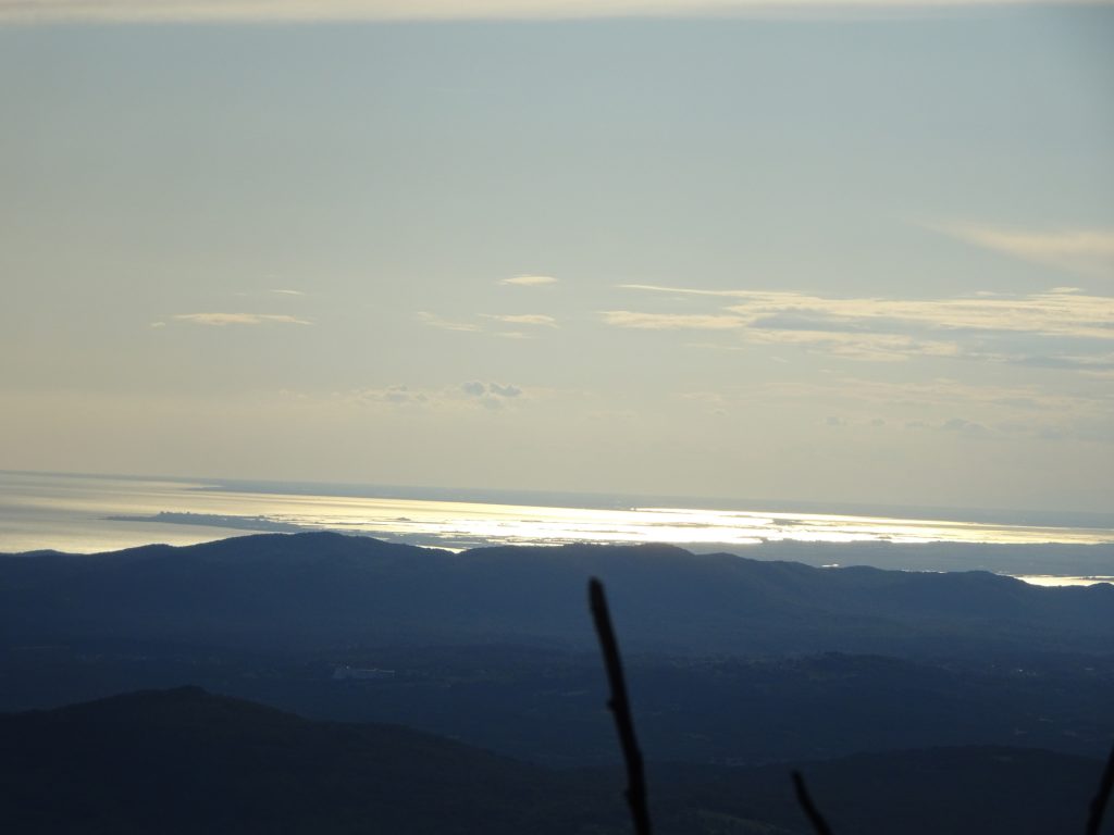
Hike up to Nanos-Plesa, giving a promising view from Triglav till the Gulf of Trieste
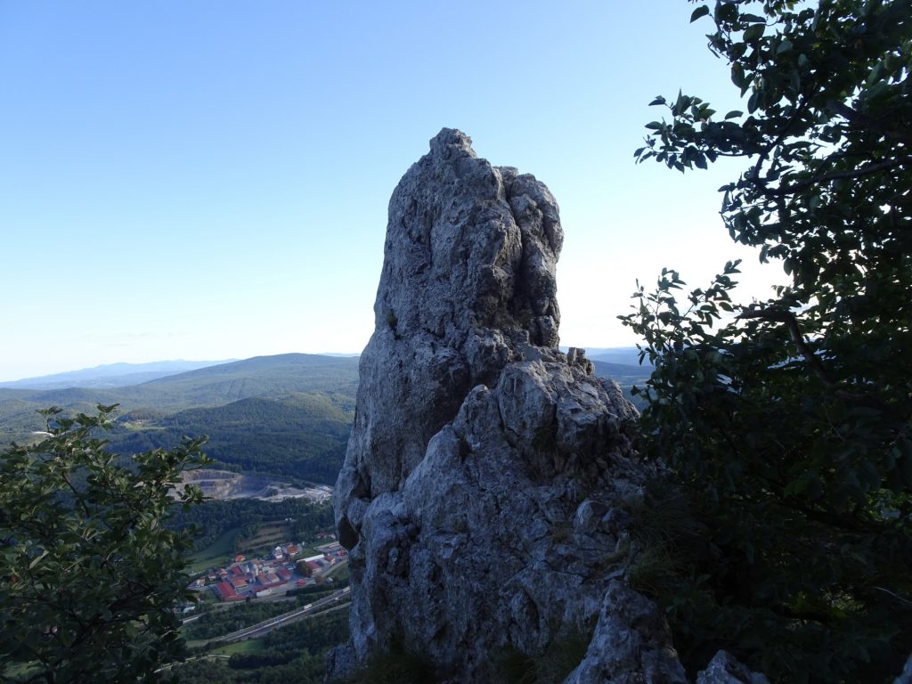
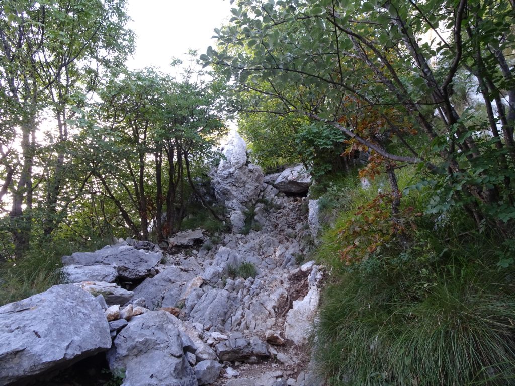
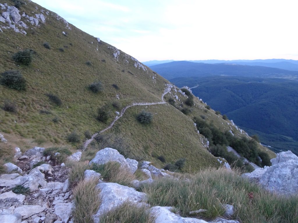
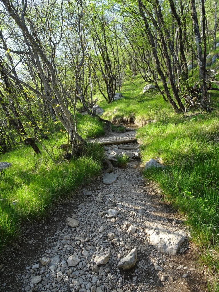
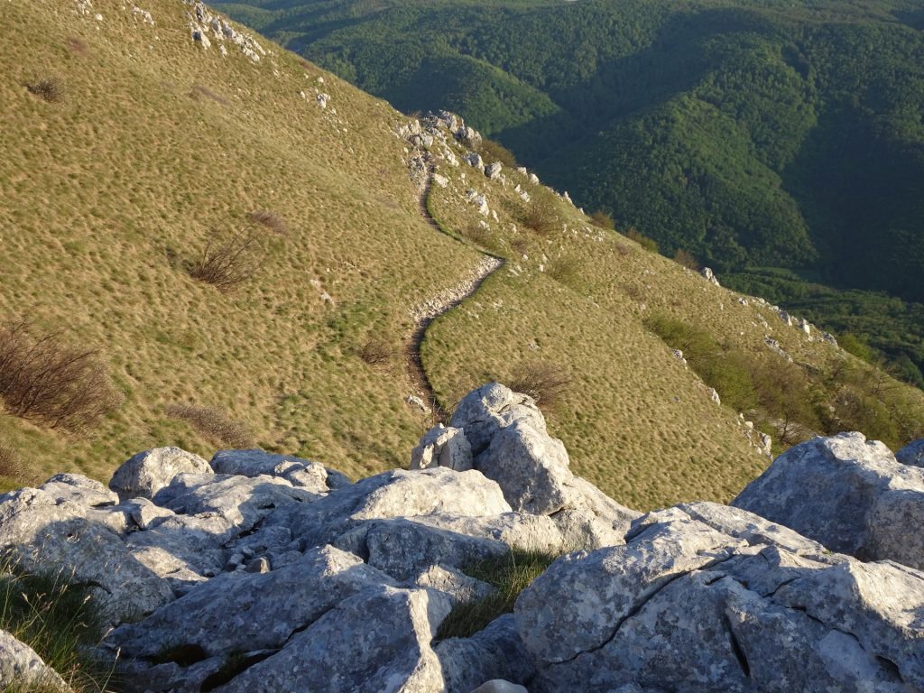
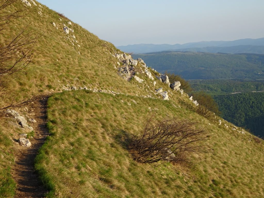
This tour starts at the parking in Razdrto (GPS: 45.759211, 14.061722; use Highway-Exit Razdrto). The tour first crosses the highway bridge, turns left into the gravel road. After a few meters, the trail starts on the right hand side. The trail first leads easygoing through a forest but after the crossing becomes relatively steep. It is advised to turn right at the crossing and follow the steep path upwards since it allows promising views on the landscape. At the peak, bypassing the antennas and after a well-deserved break at the Vojkova koca hut, follow the trail at the edge towards the Sv. Hieronim chapel, turn left before and follow the trail downwards back to the parking.
Tour Description
Tour Description
| 00:00 | Start at the parking (GPS: 45.759211, 14.061722) and cross the highway bridge. |
| 00:01 | Turn left and follow the gravel road. |
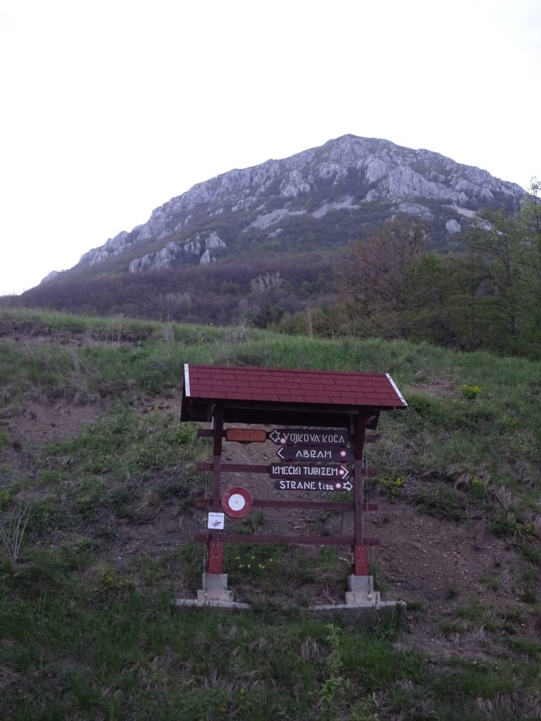
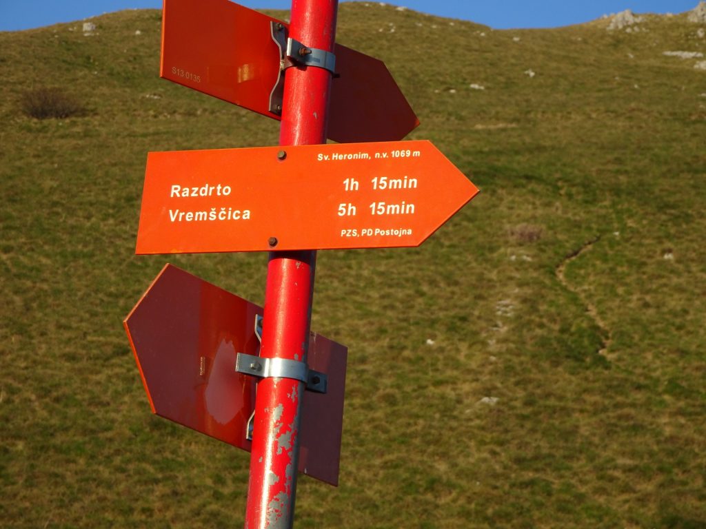
| 00:03 | Turn right (red signpost towards Vojkova koca) and follow the trail towards Nanos-Plesa. |
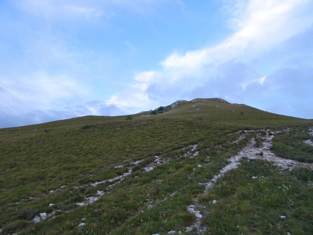
| 00:10 | Turn right at the crossing (red signpost Vojkova koca (strma pot)) and follow the steep part upwards. |
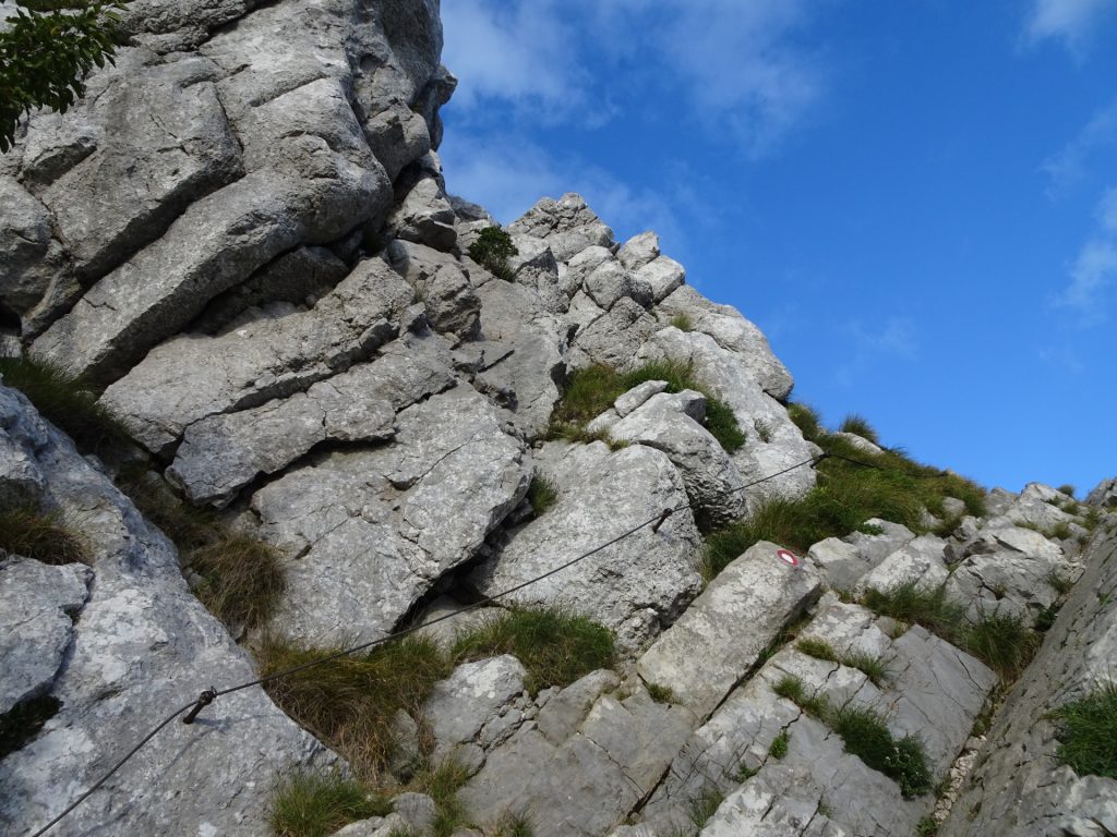
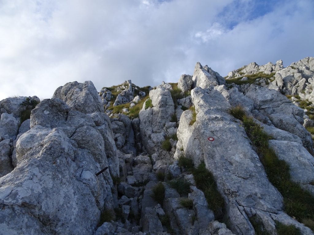
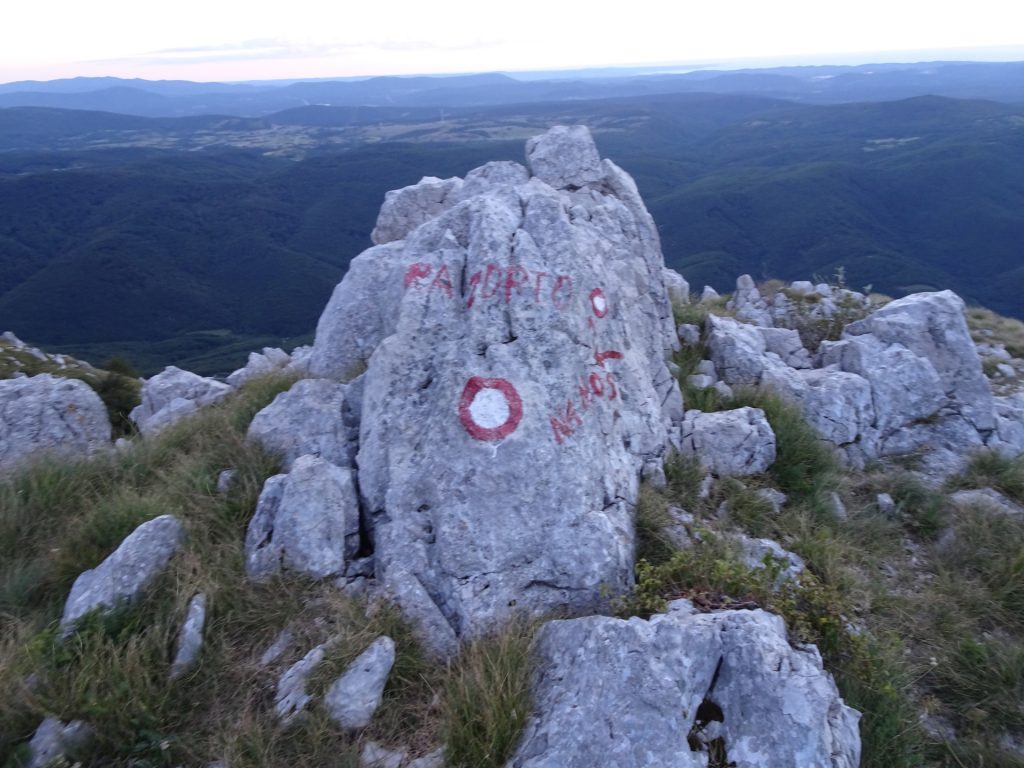
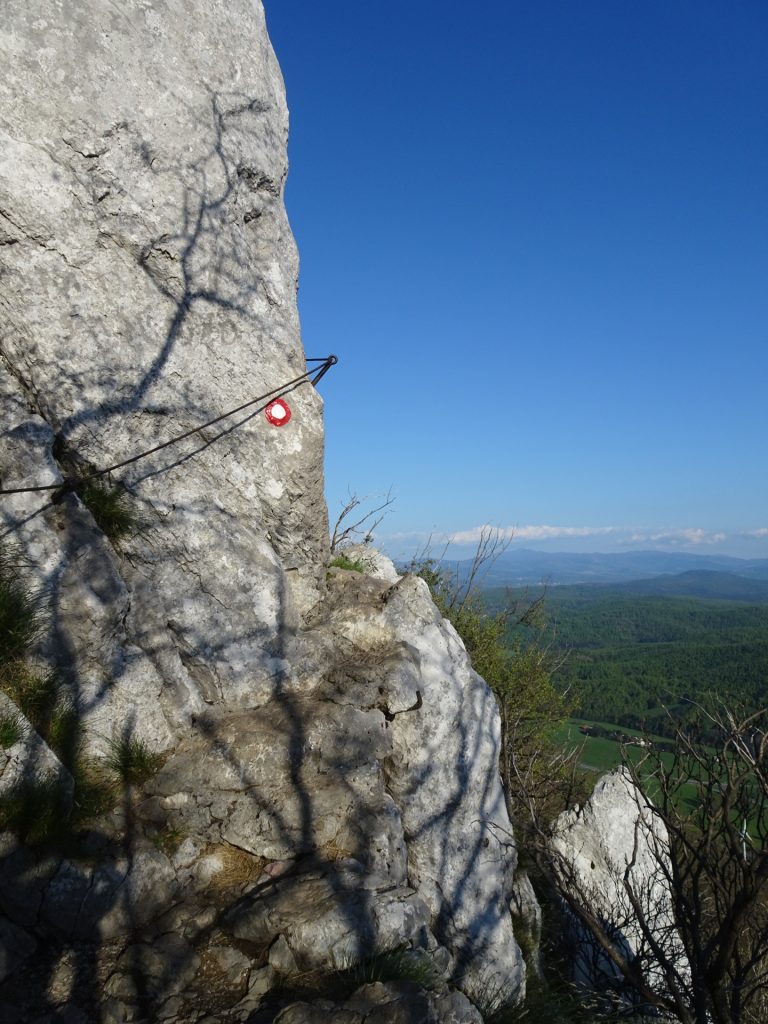
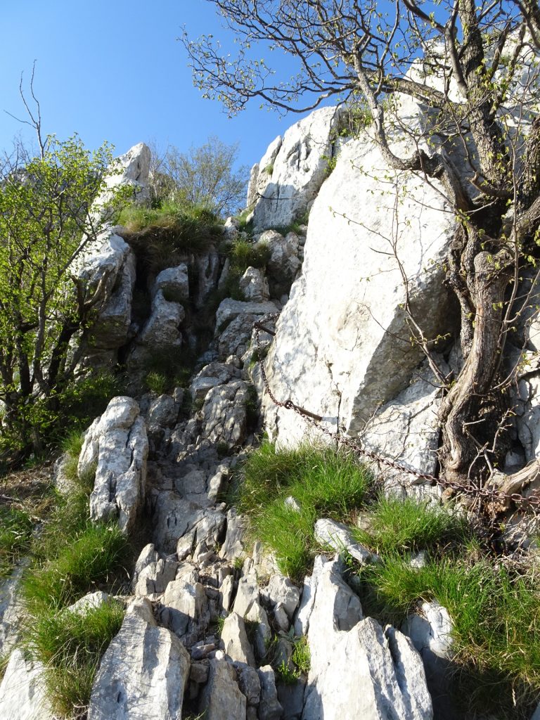
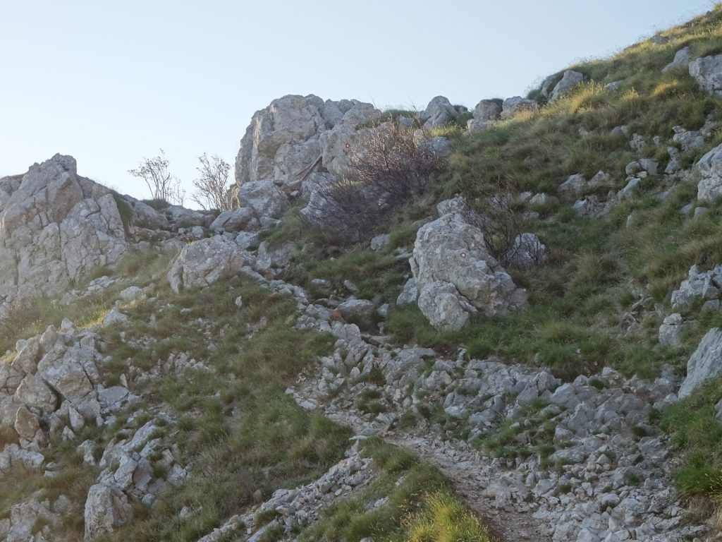
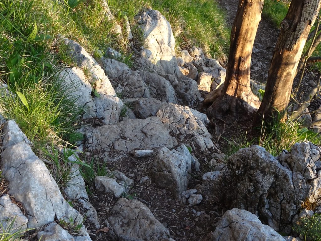
| 00:40 | The tour now becomes an easy climbing tour (I) very well protected with cables and iron chains (but sometimes exposed). Follow the trail marked with a red circle. |
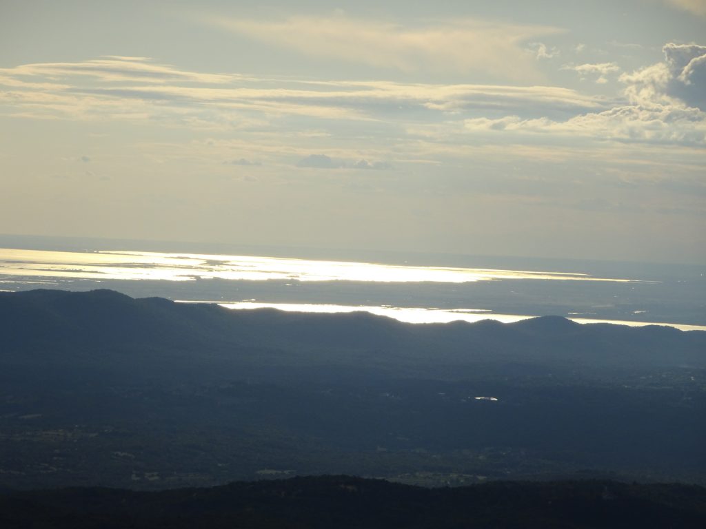
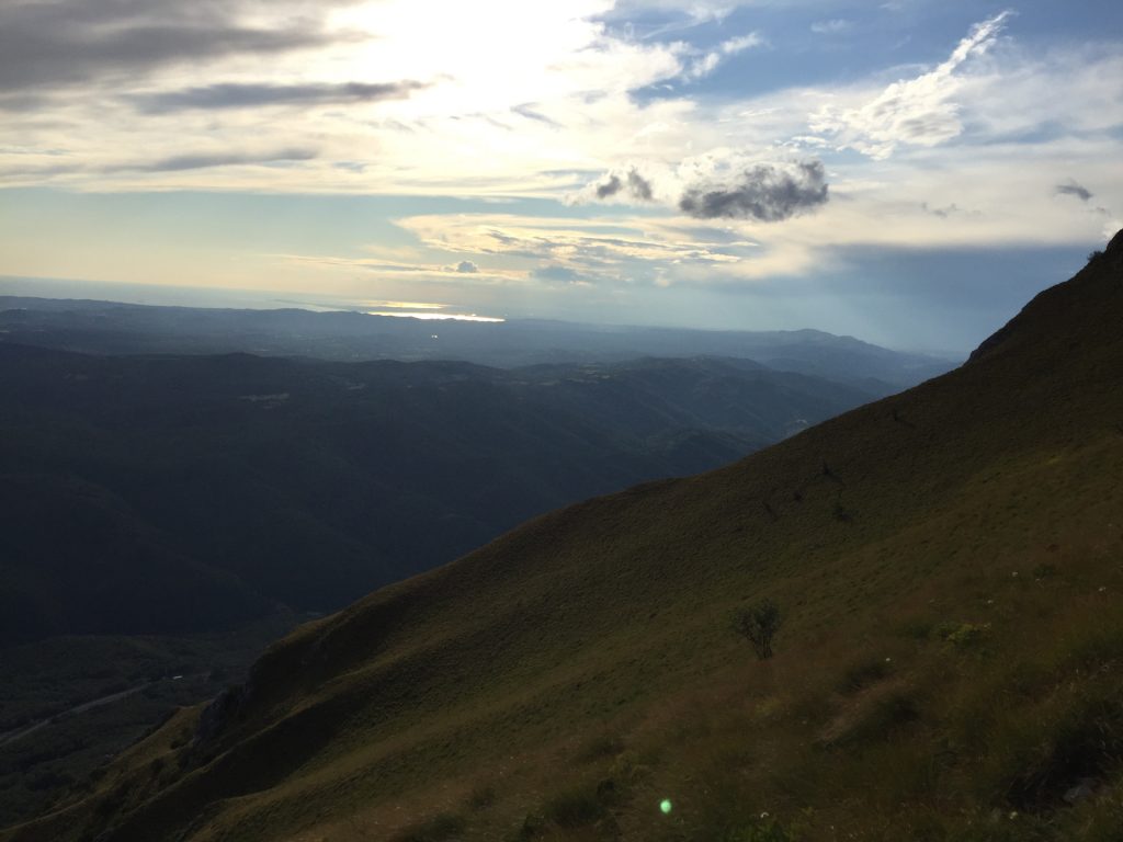
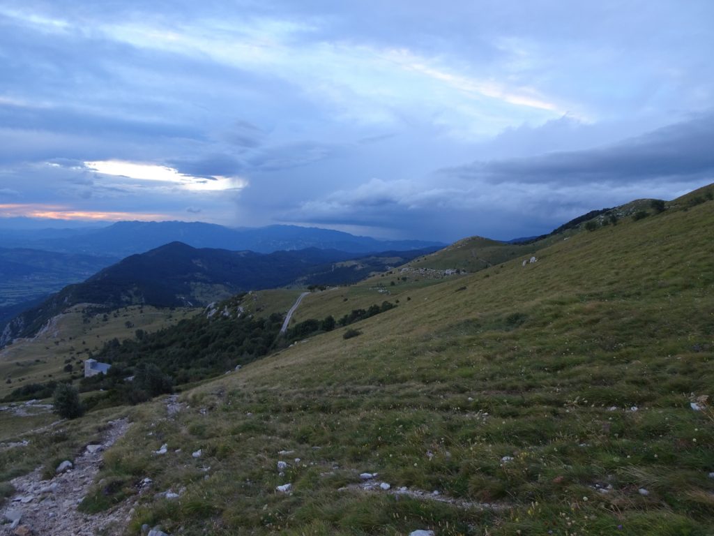
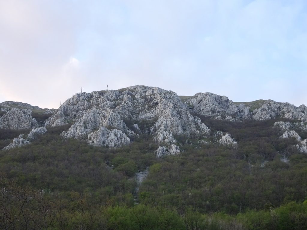
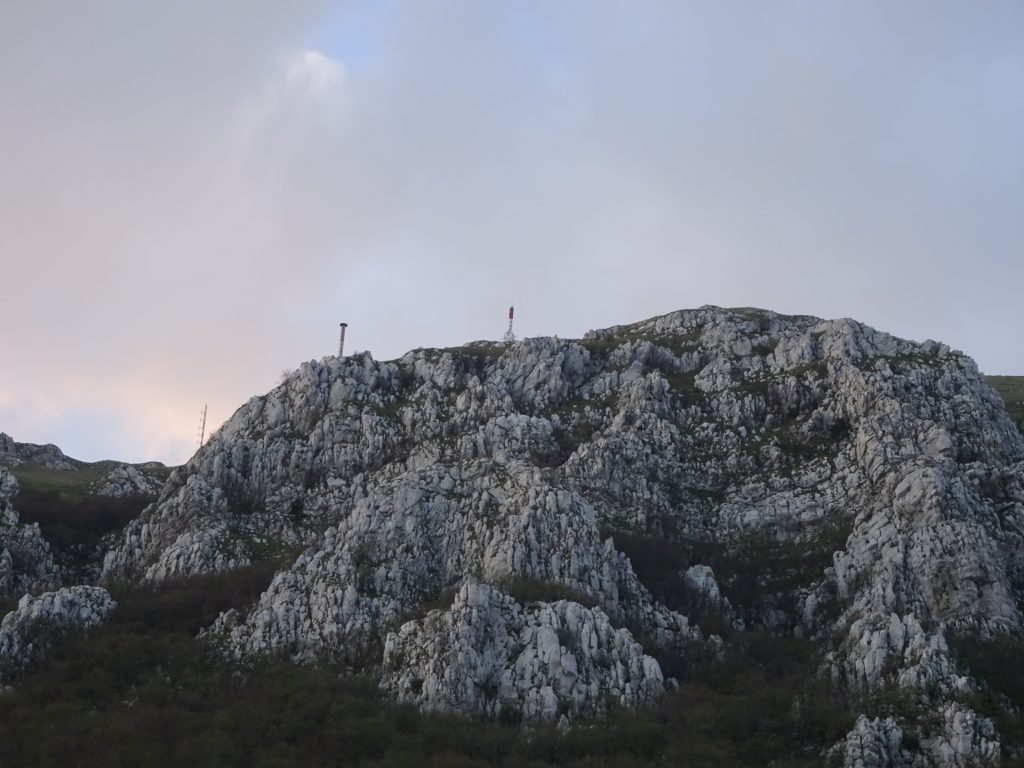
| 01:15 | Arrival at the peak, indicated by the big antennas. Enjoy the view towards Triglav. |
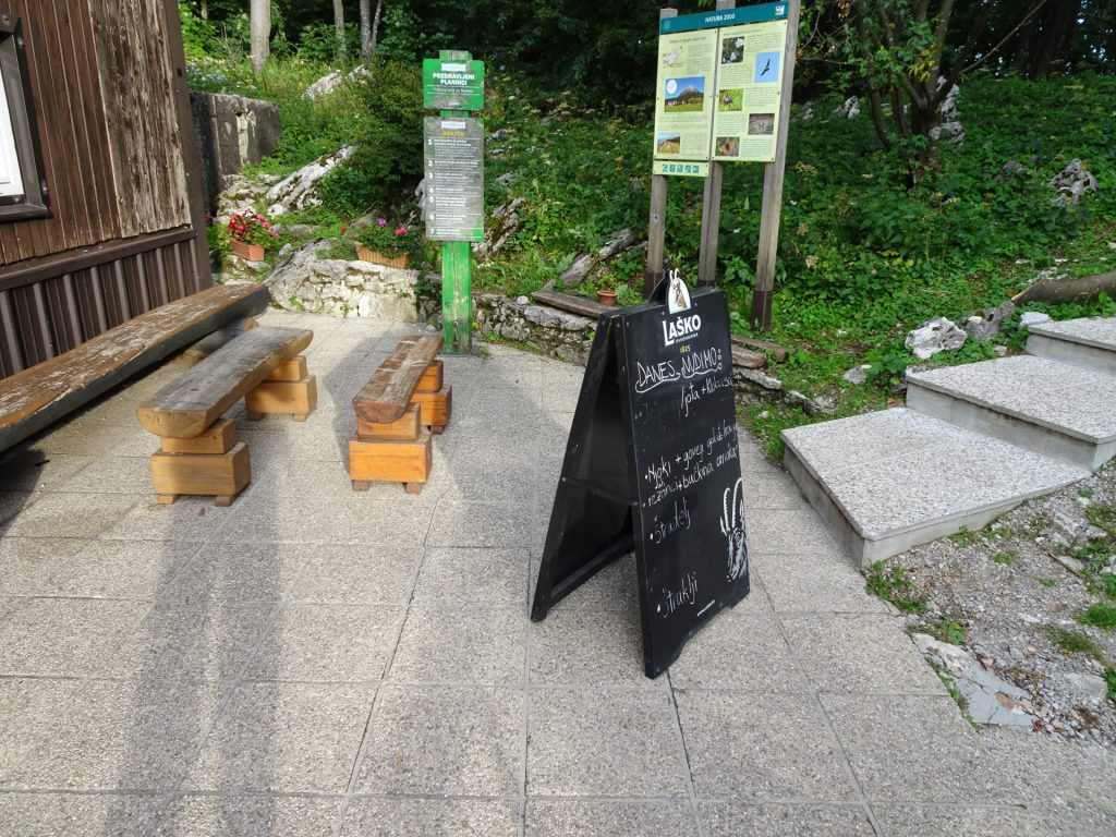
| 01:20 | Enjoy a well-deserved break () at Vojkova koca. |
| 02:15 | Continue the tour by following the trail around the antennas (left side from the hut). |
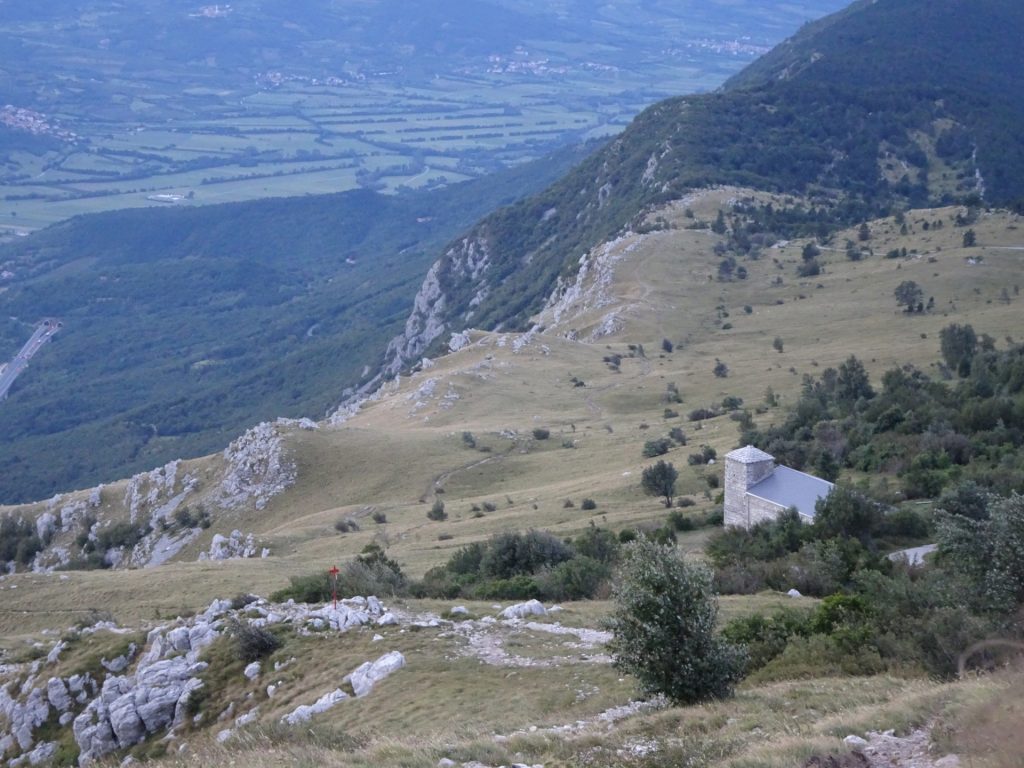
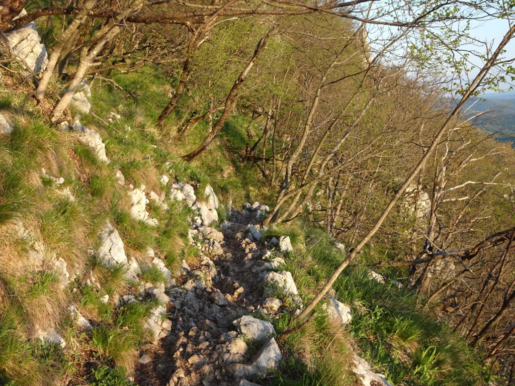
| 02:45 | Before the little chapel (at the signpost), turn left and climb downwards to the trail. |
| 03:25 | Back at the crossing, follow the tour back towards the parking. |
| 03:32 | At the gravel road, turn left and follow the road towards the highway bridge. |
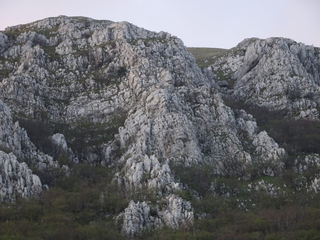
| 03:35 | Back at the parking. Look back towards the mountain and enjoy the accomplishment. |
At a glance
| Level | moderate |
| Technique | |
| Shape / Fitness | |
| Experience | |
| Scenery | |
| Best time in the year | |
|
Jan
Feb
Mar
Apr
May
Jun
Jul
Aug
Sep
Oct
Nov
Dec
|
|
General Tour Data
| Area: | Nanos Karst, Sezana, Slovenia | |
| Distance: | 7,7km | |
| Ascent: | 682m (1h 20min) | |
| Descent: | 682m (1h 30min) | |
| Highest Pt: | 1262m | |
| Lowest Pt: | 559m | |
| Duration: | 2h 45min (without breaks) 3h 35min (with breaks) |
|
| Stop/Rest: | Vojkova koca (1240m) | |
| Equipment: | Backpack with standard hiking equipment Food and plenty of water Sun & Weather protection Camera |
| Download GPX | ||
| O | Tour at outdooractive.com |




















Leave a Reply