
Promising alpine tour to Hochschwab via Wetzsteinkogel and Zagelkogel (I+) and descending via the Graf-Meran-Steig
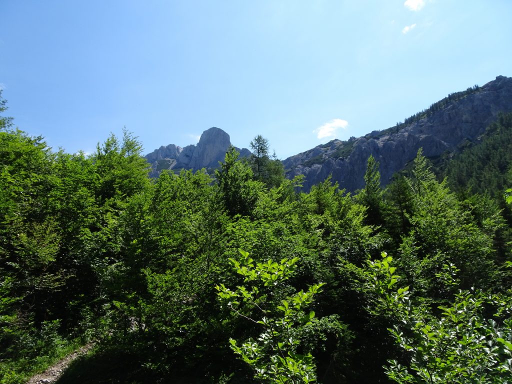
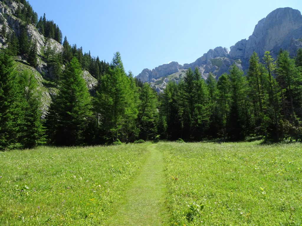
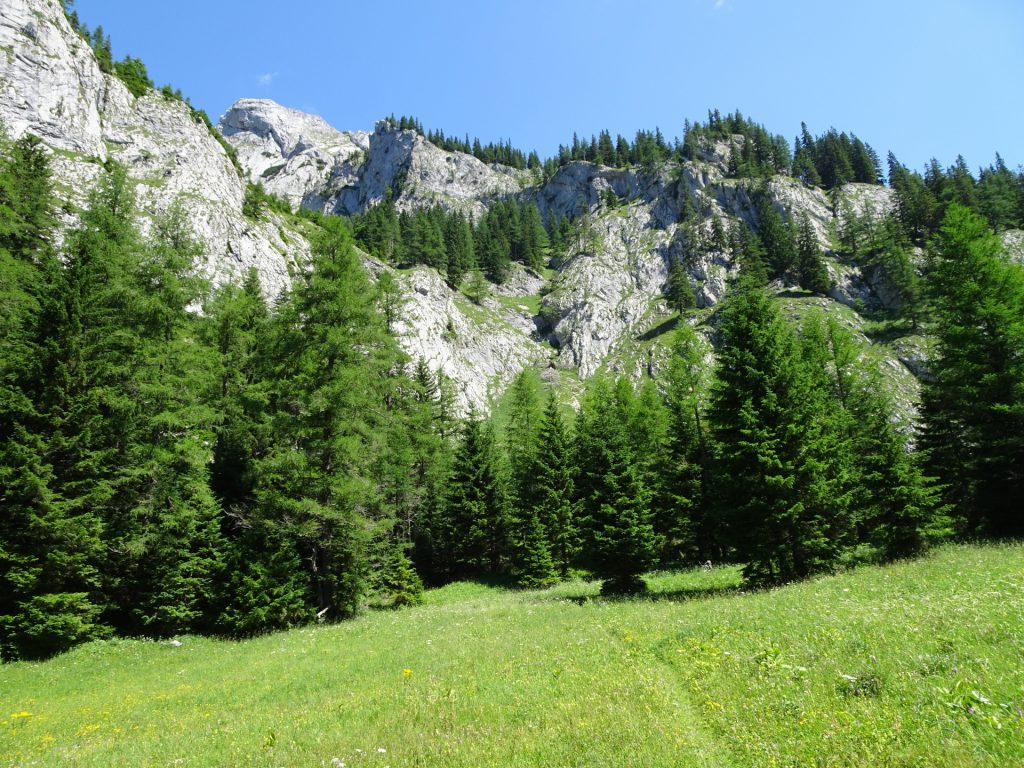
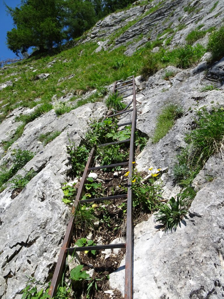
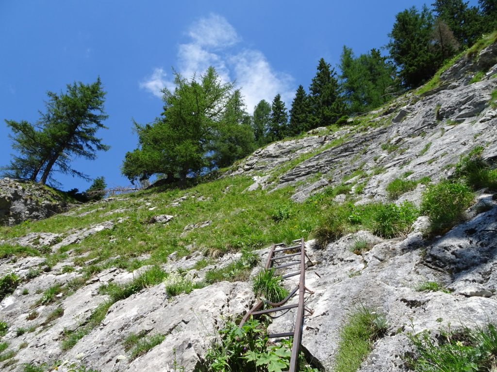
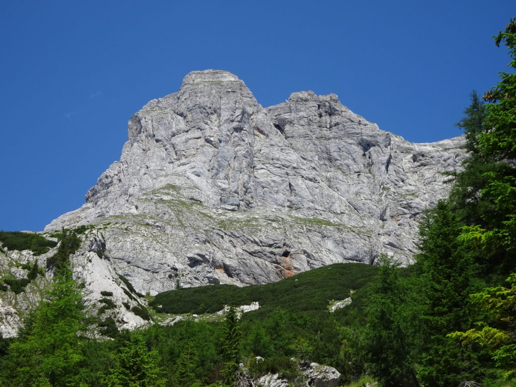
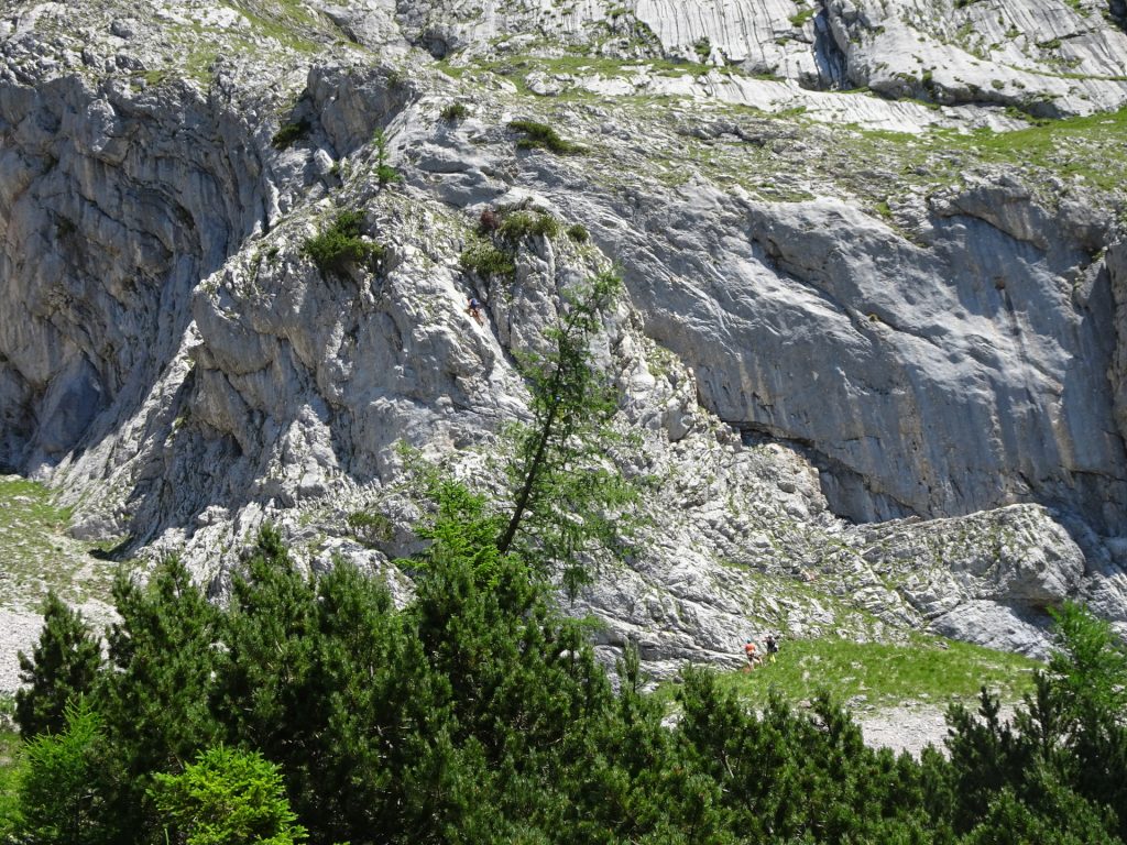
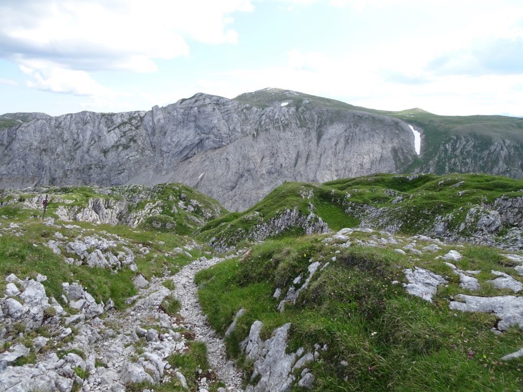
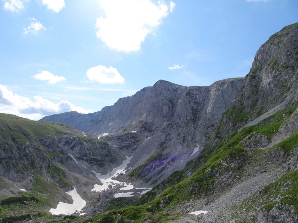
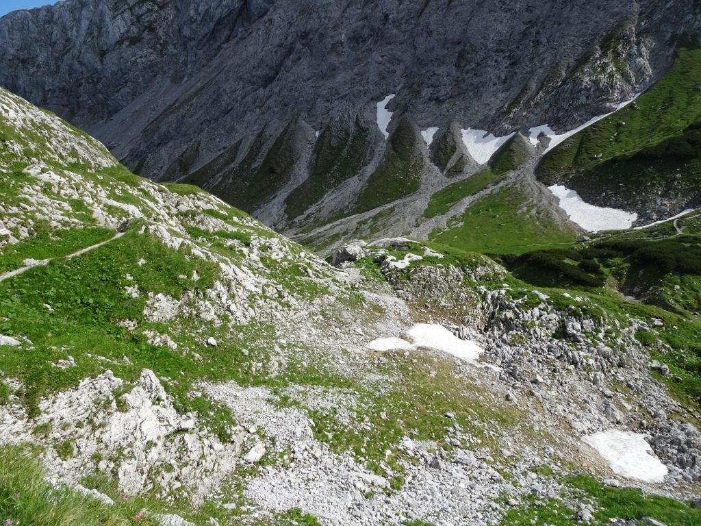
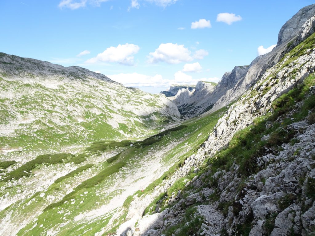
This demanding but promising alpine tour starts at the parking next to the Bodenbauer guesthouse (GPS: 47.579401, 15.114501) and first leads through a forest valley surrounded by impressive rocks and summits to the beautiful Trawiesalm mountain pasture. There, the tour then leaves the normal hiking trail and starts to be an easy but long climbing route (UIAA I+). The begin is marked by climbing up an iron ladder and then follow a sometimes exposed trail. Along impressive walls and bypassing the giant Wetzsteinhöhle (cave), the tour follows a visible but unmarked path up to Wetzsteinkogel. After a short break, the tour then crosses the saddle before it becomes a long climbing route (UIAA I+) towards Zagelkogel. The climbing route is marked very well (follow the red dots) at the difficult parts but markings become worse and finally disappear in the last third of the tour. Thus some orientation skills are required to climb up to the top that allows an amazing surrounding view on the entire Hochschwab area. After a short break, the tour then follows along the Hochschwab plateau towards the summit of Hochschwab and then descends towards the Schiestlhaus (hut). After a short break, the tour then descends via the Graf-Meran-Steig, slightly ascents again to the Trawiessattel and then follows the hiking route back to the starting point (parking at the Bodenbauer).
| 00:00 | Start at the parking lot Bodenbauer (GPS: 47.579401, 15.114501). Pass by the Bodenbauer guesthouse and follow the forest road north-west. |
| 00:05 | At the crossing, turn right and follow the road towards Hochschwabgipfel. |
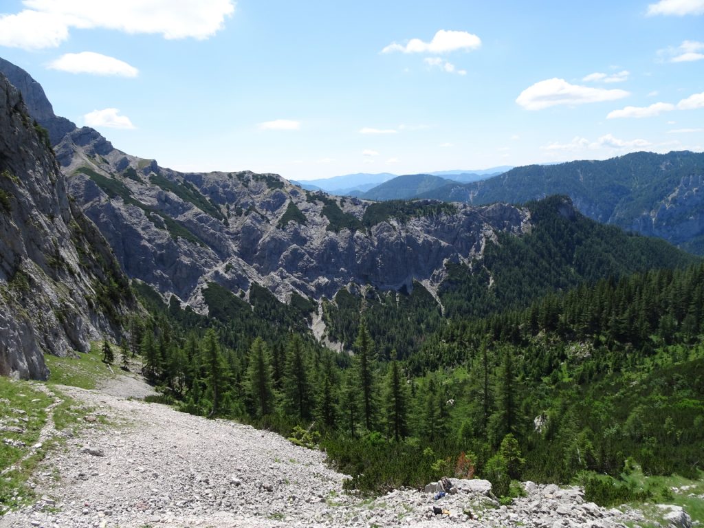
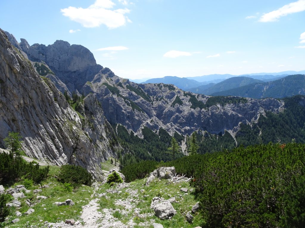
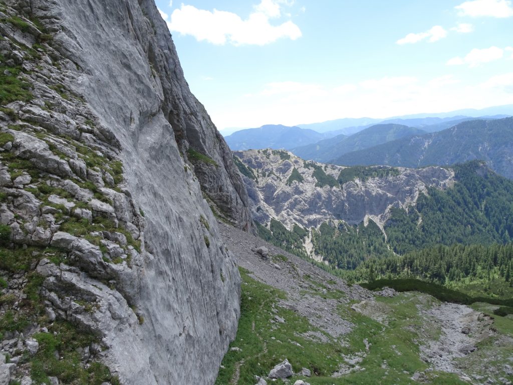
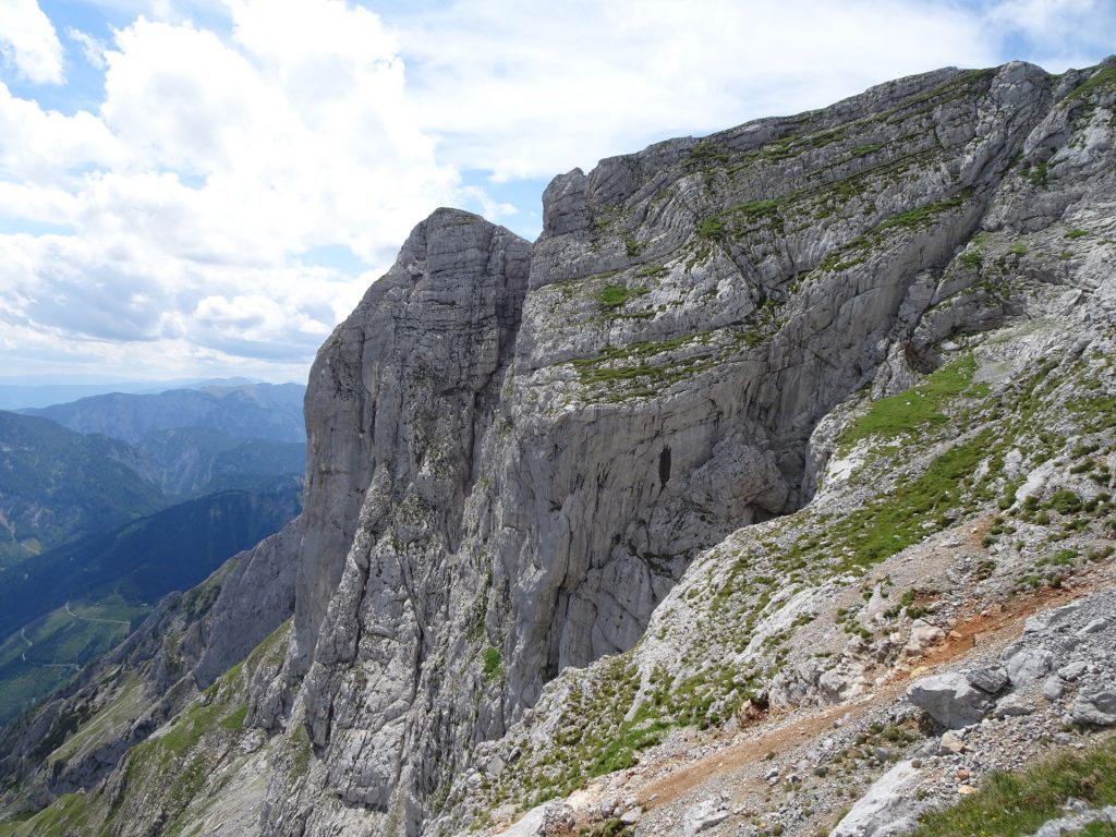
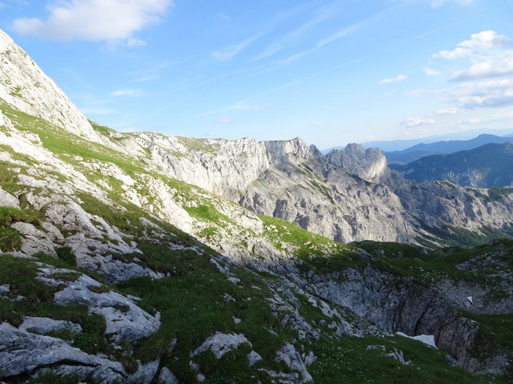
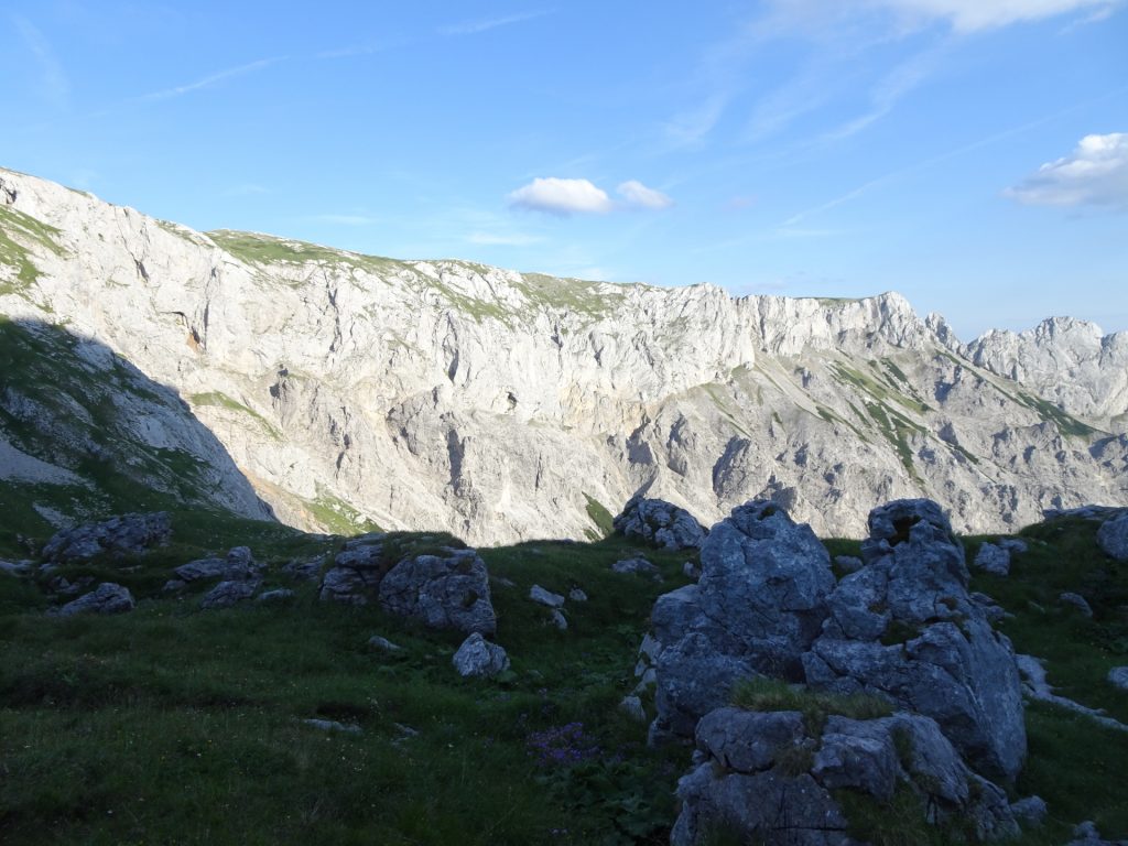
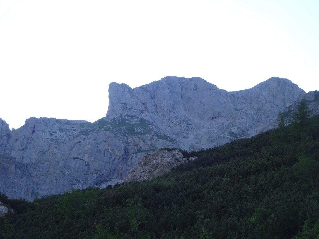
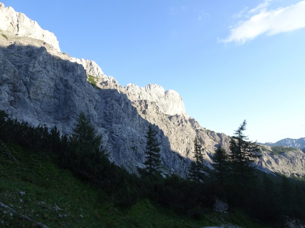
| 00:30 | Follow the trail next to the impressive cliffs along the wall. |
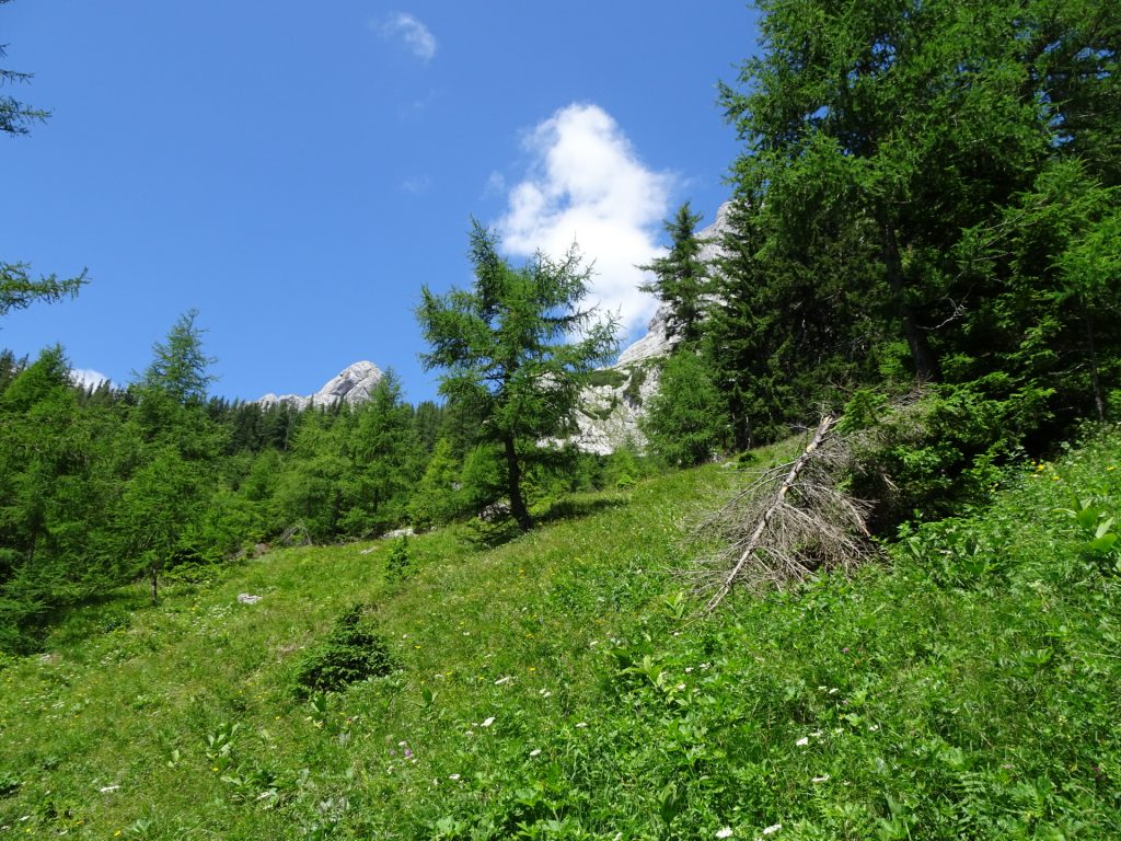
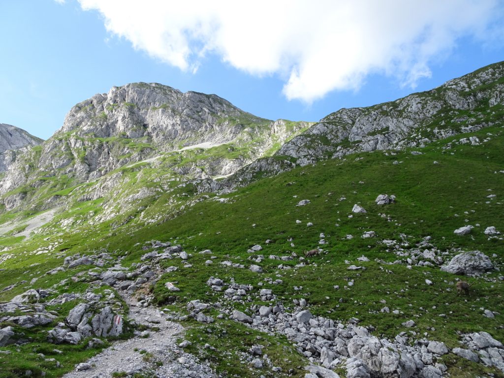
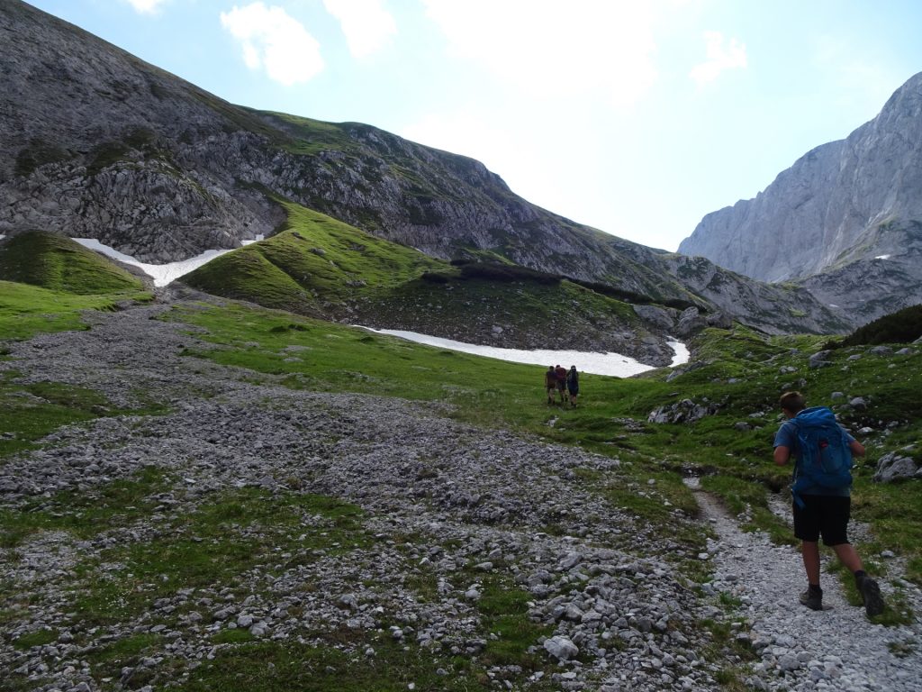
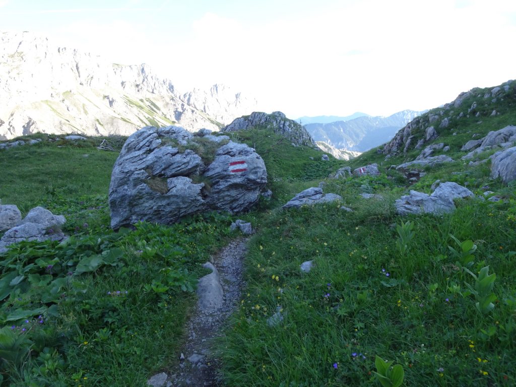
| 00:45 | Enter the Trawiesalm mountain pasture and first follow the trail. |
| 00:50 | At the crossing, turn left and follow the unmarked (but visible) trail towards the climbing route. |
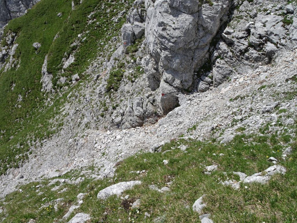
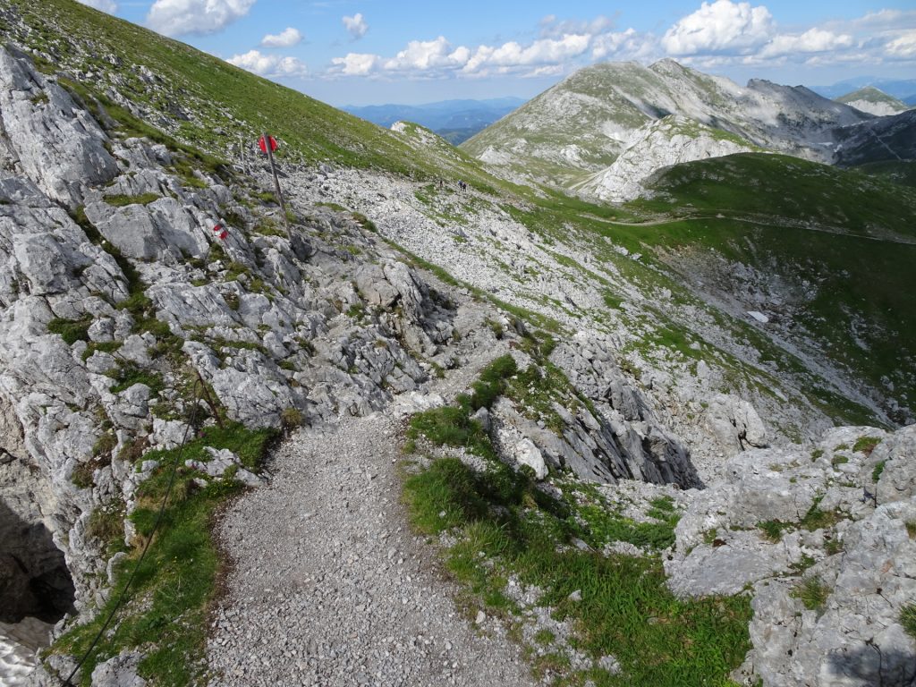
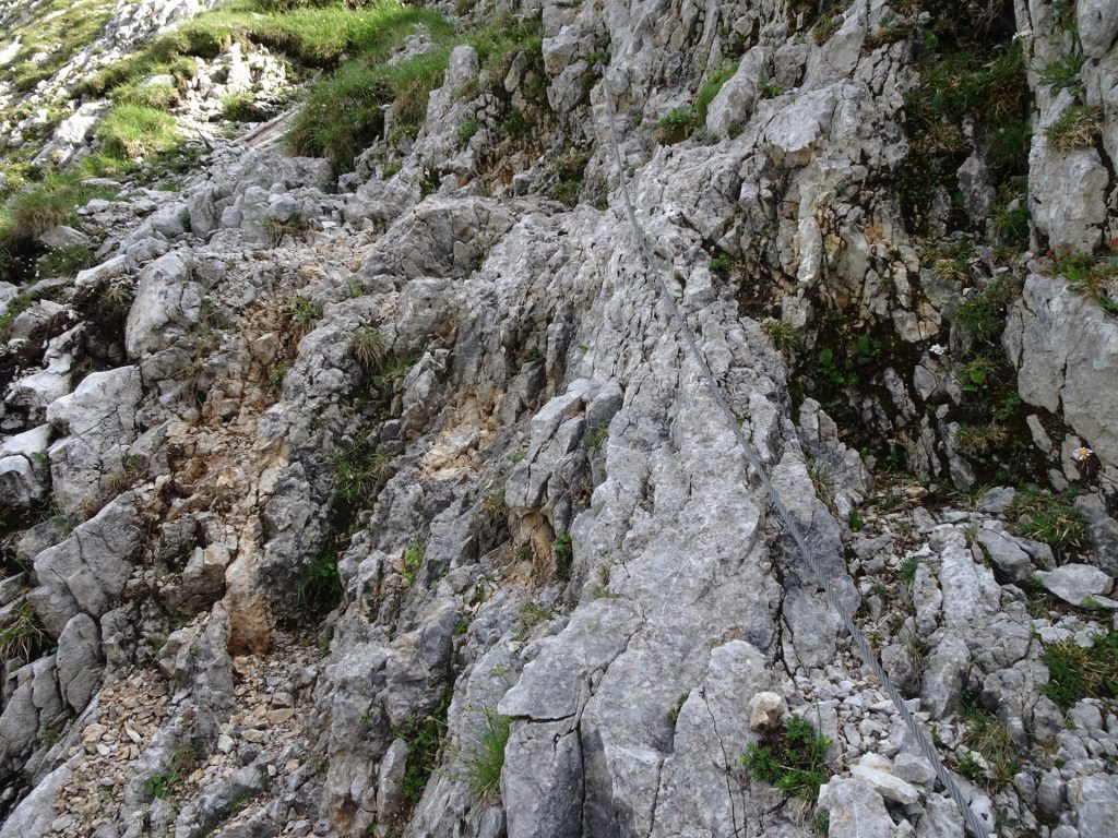
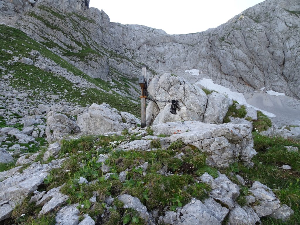
| 00:55 | Follow the visible trail and climbing route. After some meter you will see an iron ladder that needs to be climbed up. The exit is slightly exposed but lead you towards a visible trail (to be followed up!). |
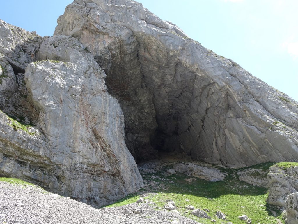
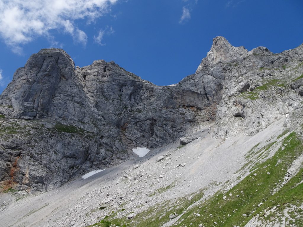
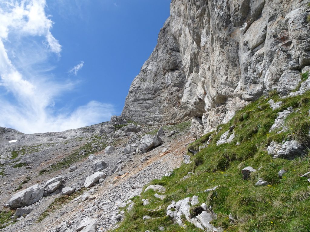
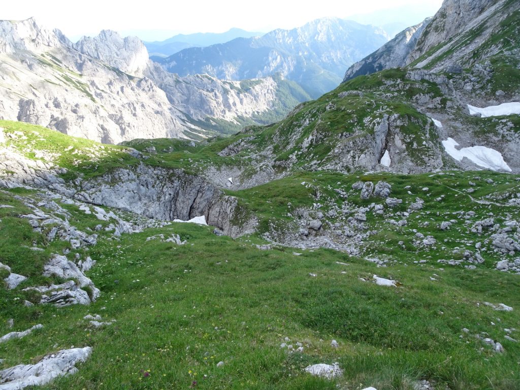
| 01:35 | At the crossing, keep left and follow the trail through the scree field up towards the Wetzsteinhöhle (cave). |
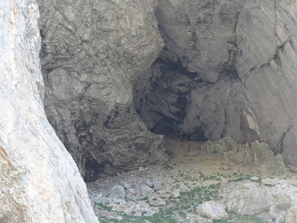
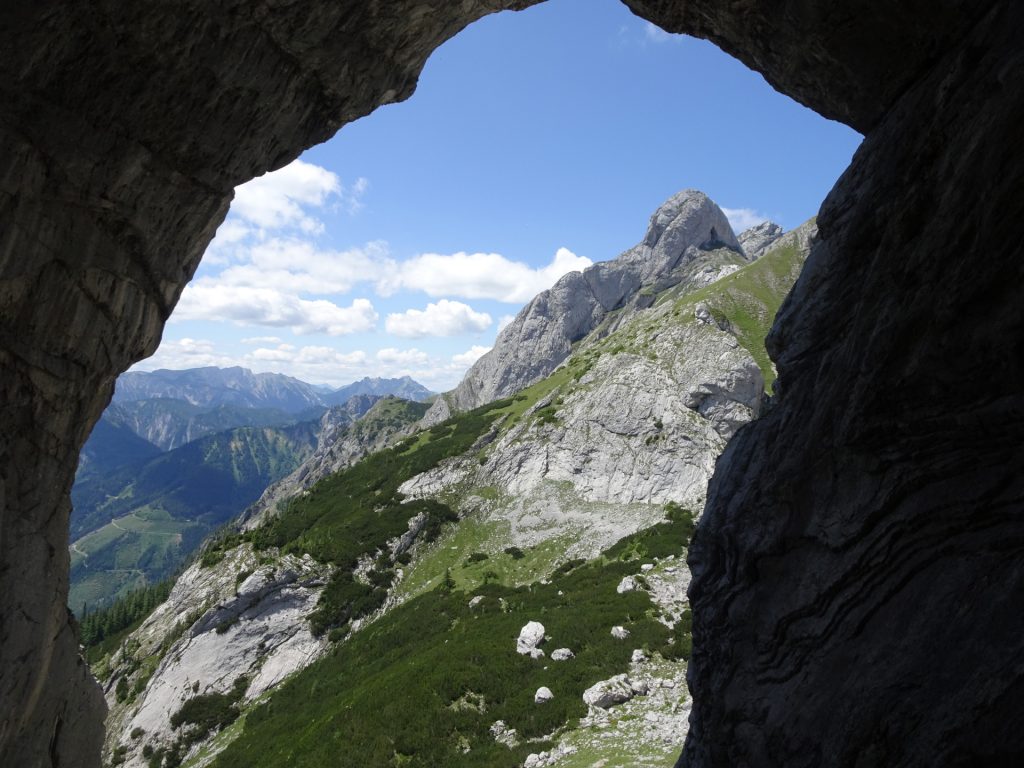
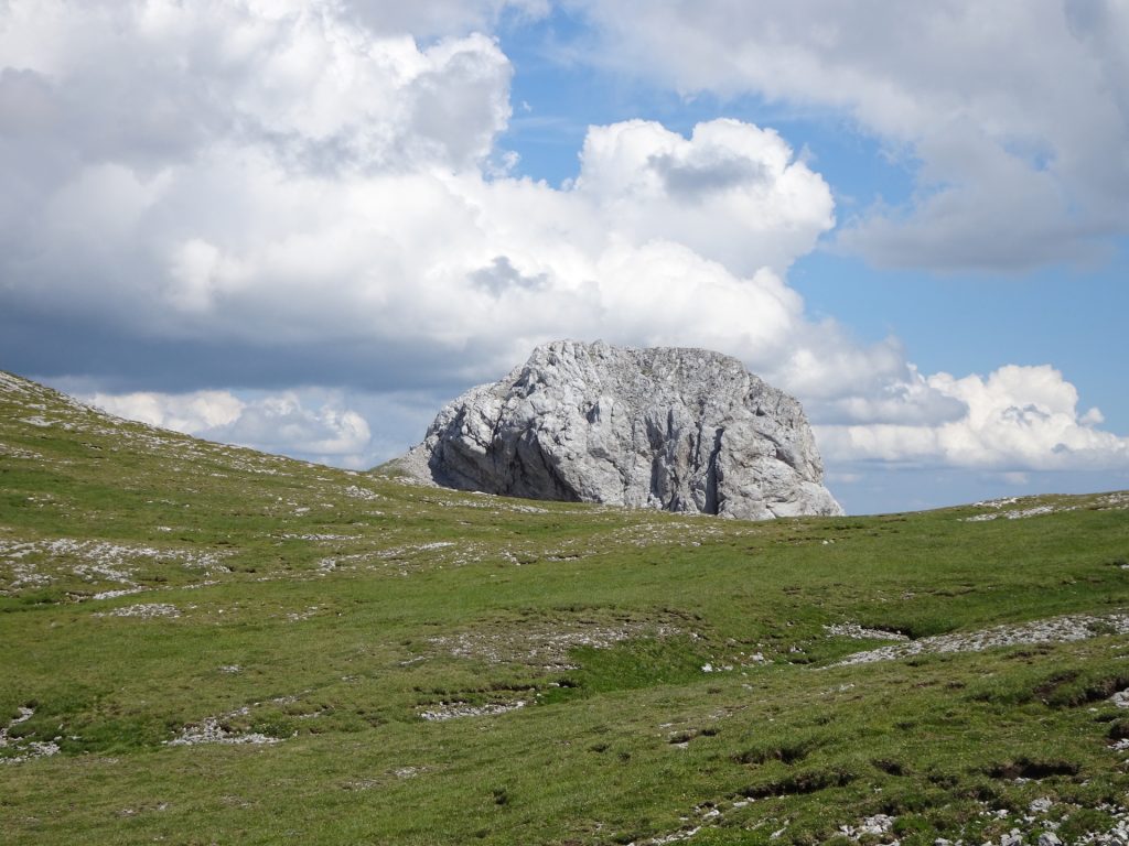
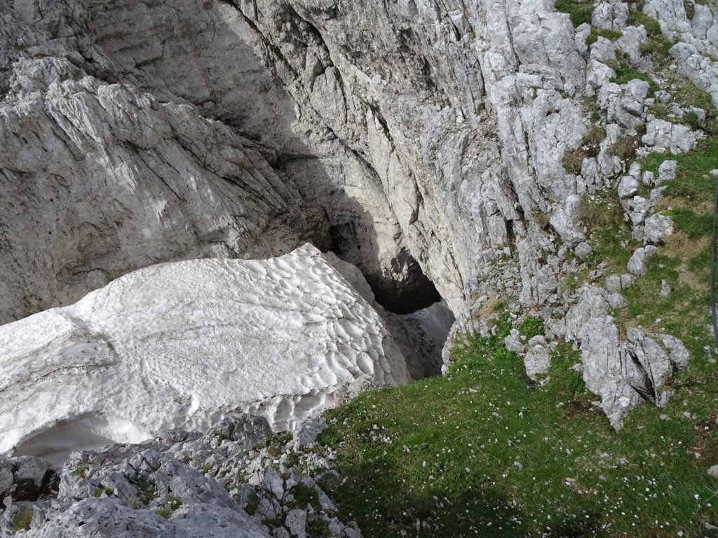
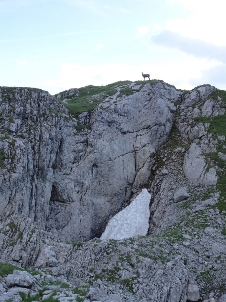
| 01:50 | Bypass the impressive Wetzsteinhöhle In case you want to visit the cave, bear in mind that the access to the cave is very loose, slippery and fairly steep, thus requiring very good climbing skills and a sure foot especially on the way back! |
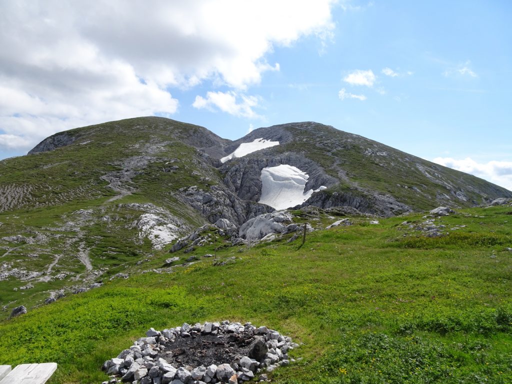
| 01:55 | After the cliff, keep right and follow the steep trail up to Wetzsteinkogel. |
| 02:05 | Enjoy the amazing view from Wetzsteinkogel, best enjoyed with a self-brought refreshment (). |
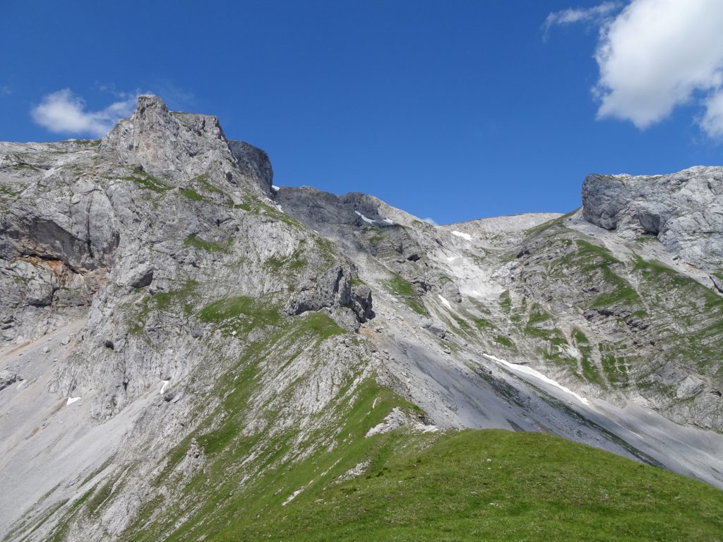
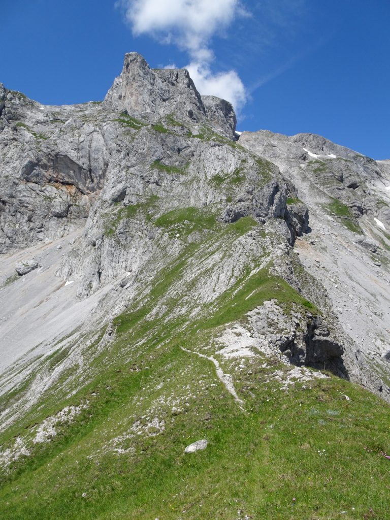
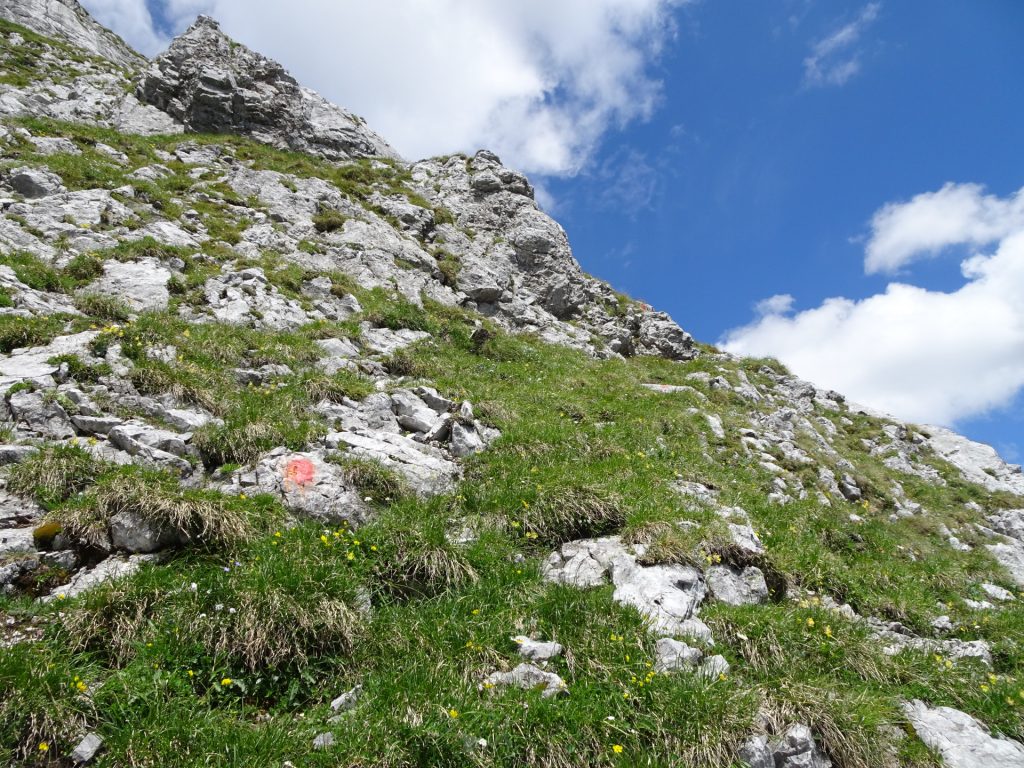
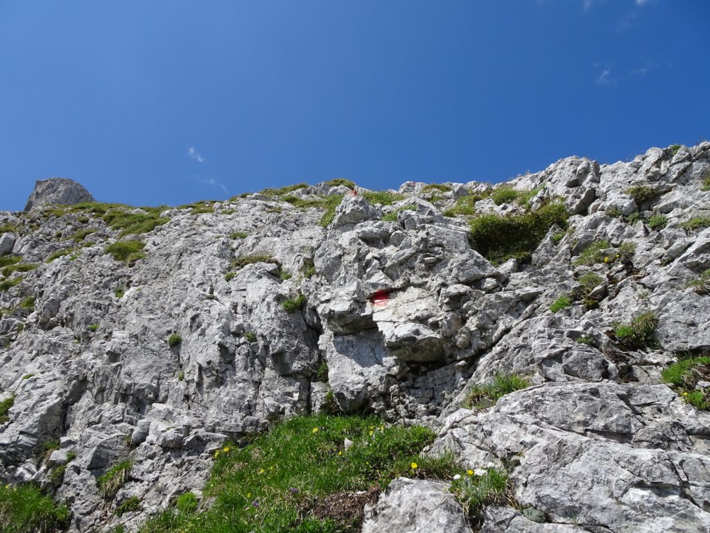
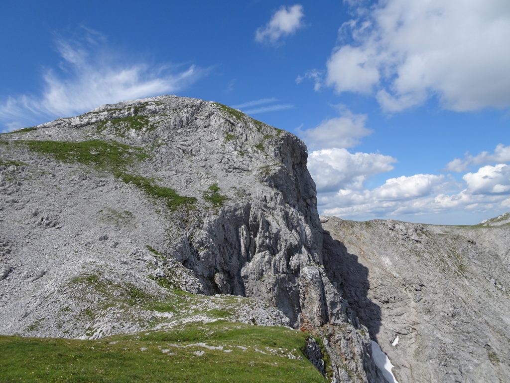
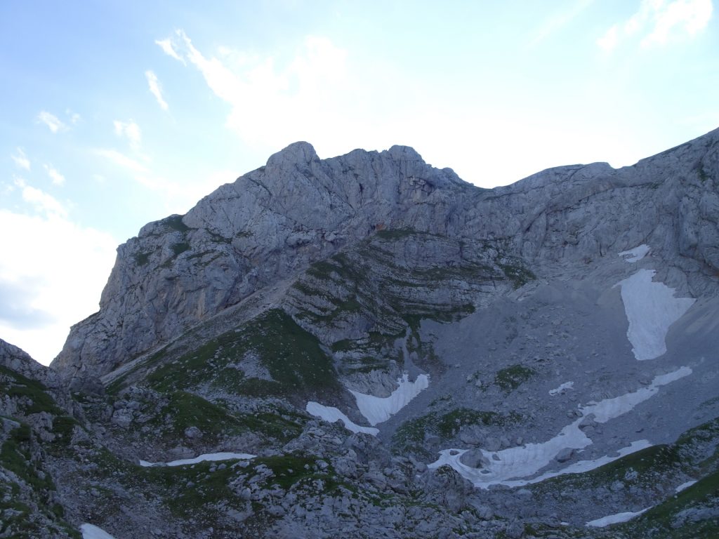
| 02:10 | Cross the saddle northwards towards the (impressive) Zagelkogel. Starting from here, there is no visible trail anymore. Red dots will guide through the difficult parts of the climbing route (after crossing the saddle!) but good orientation is required from here on! |
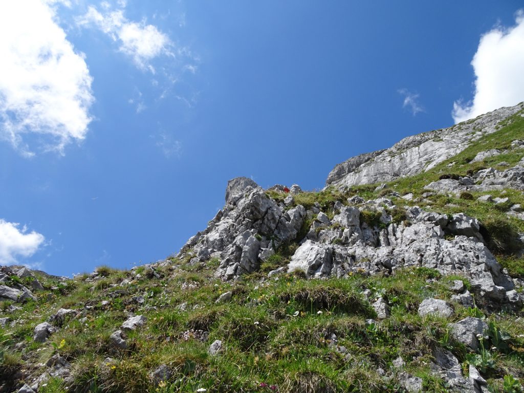
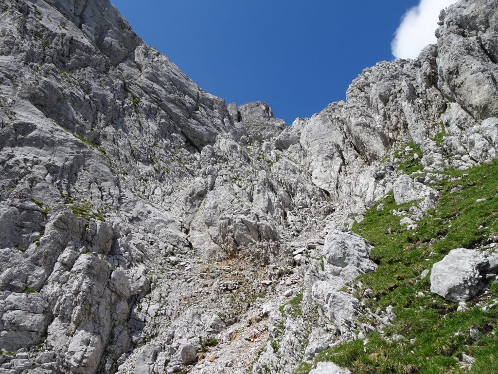
| 02:20 | Climb up Zagelkogel by following the markings using red dots. |
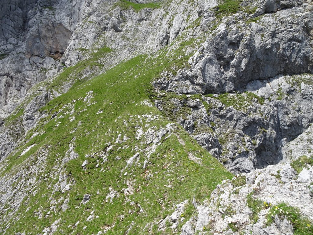
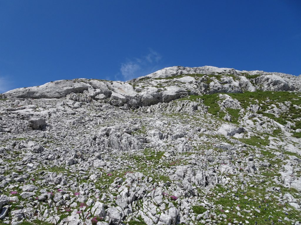
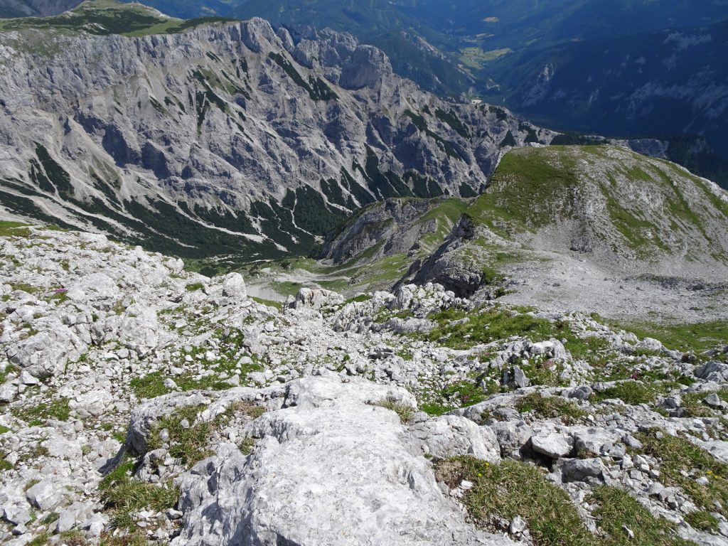
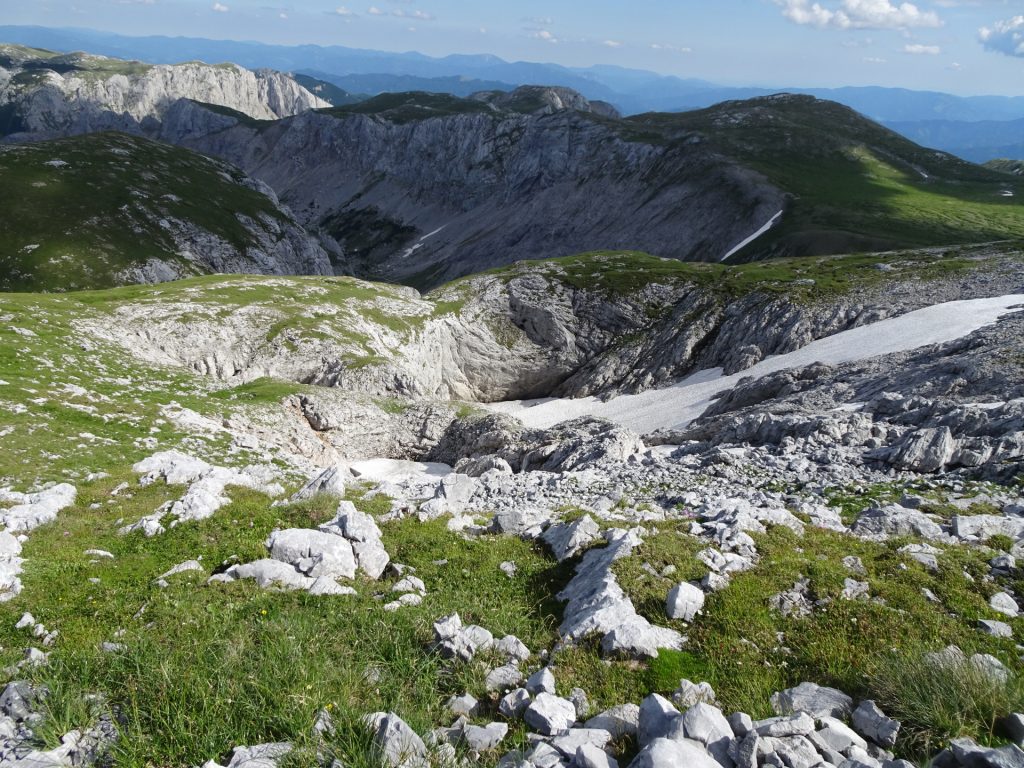
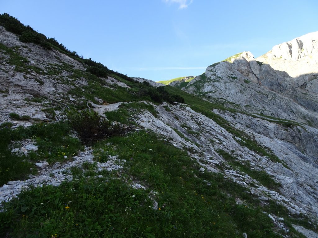
| 03:00 | There are no markings anymore, you need to find your route now up to the top. Try to continue westwards and then northwards when the area becomes less steep. |
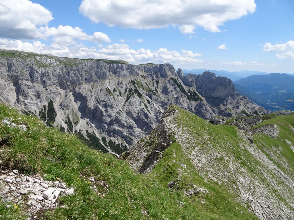
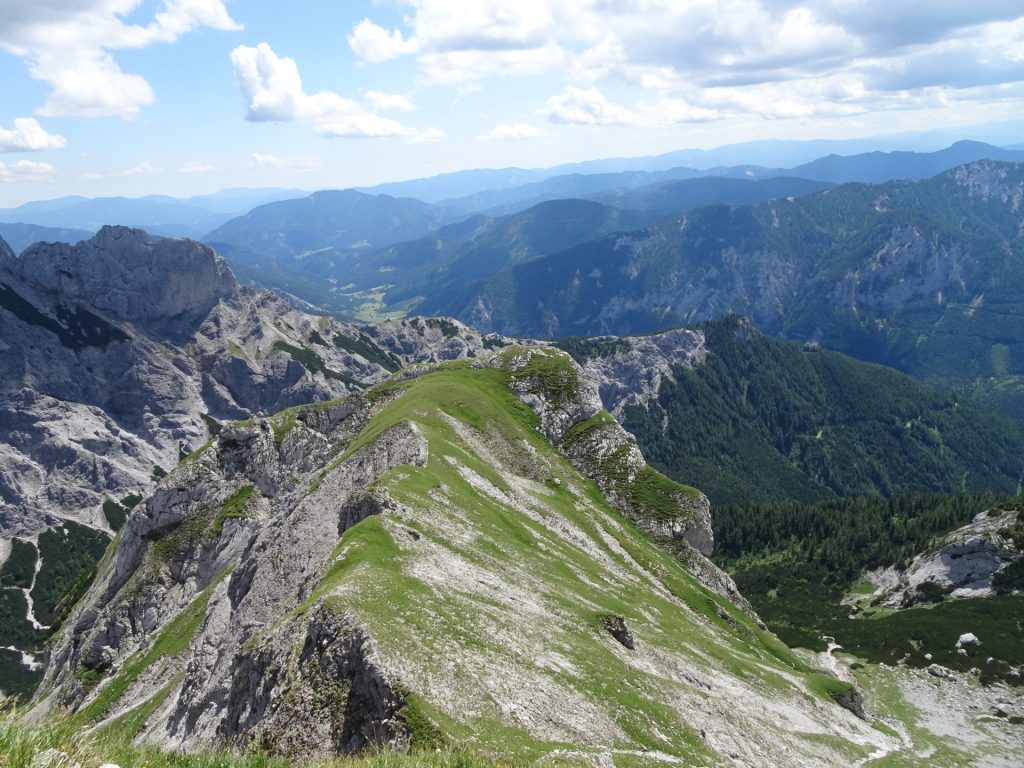
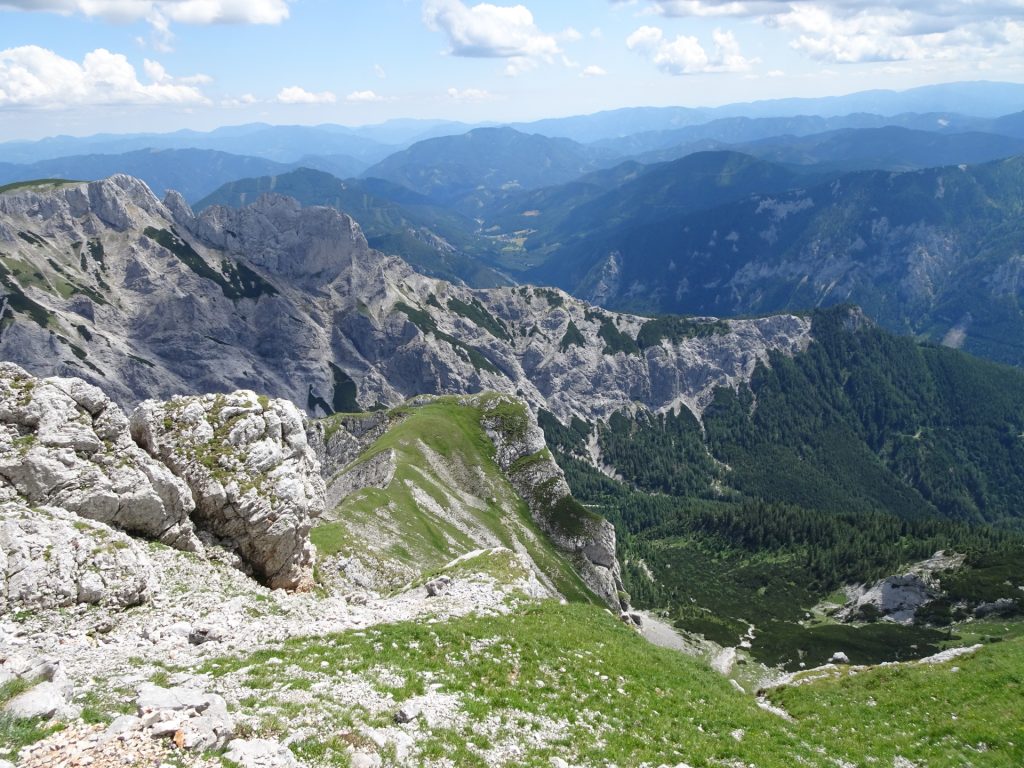
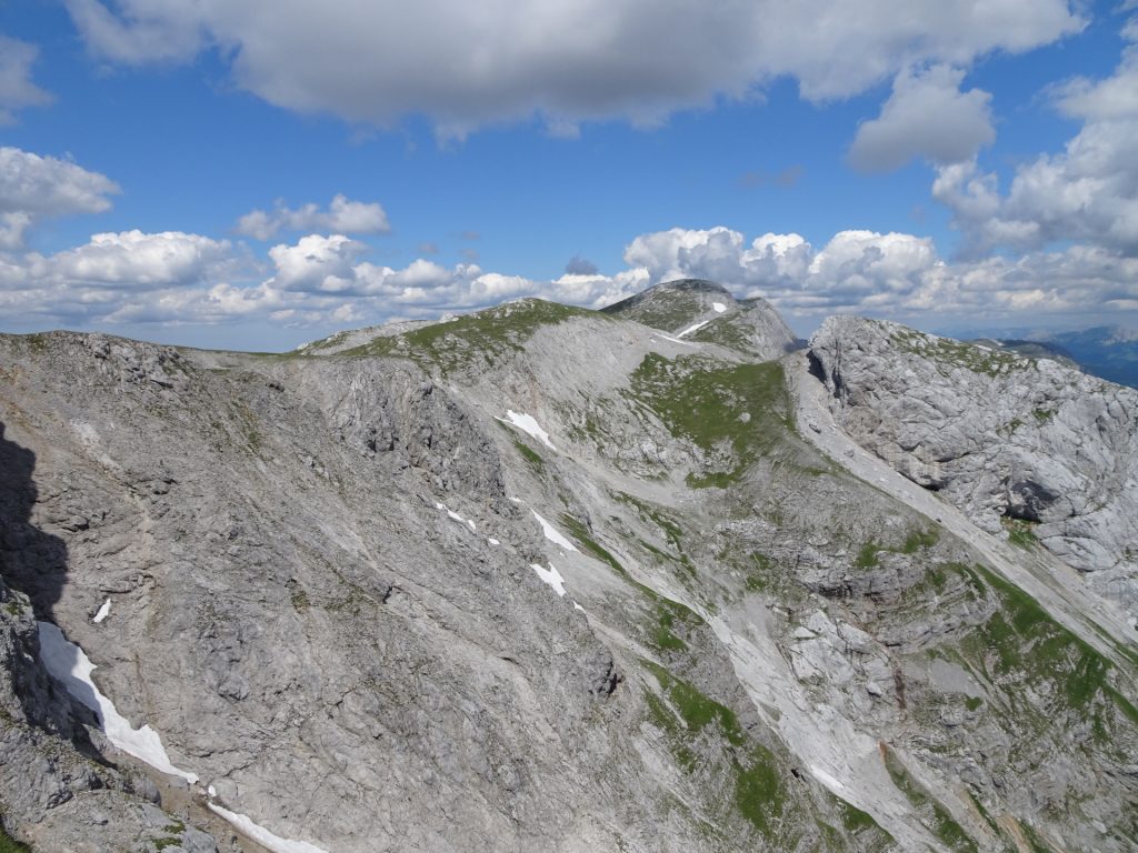
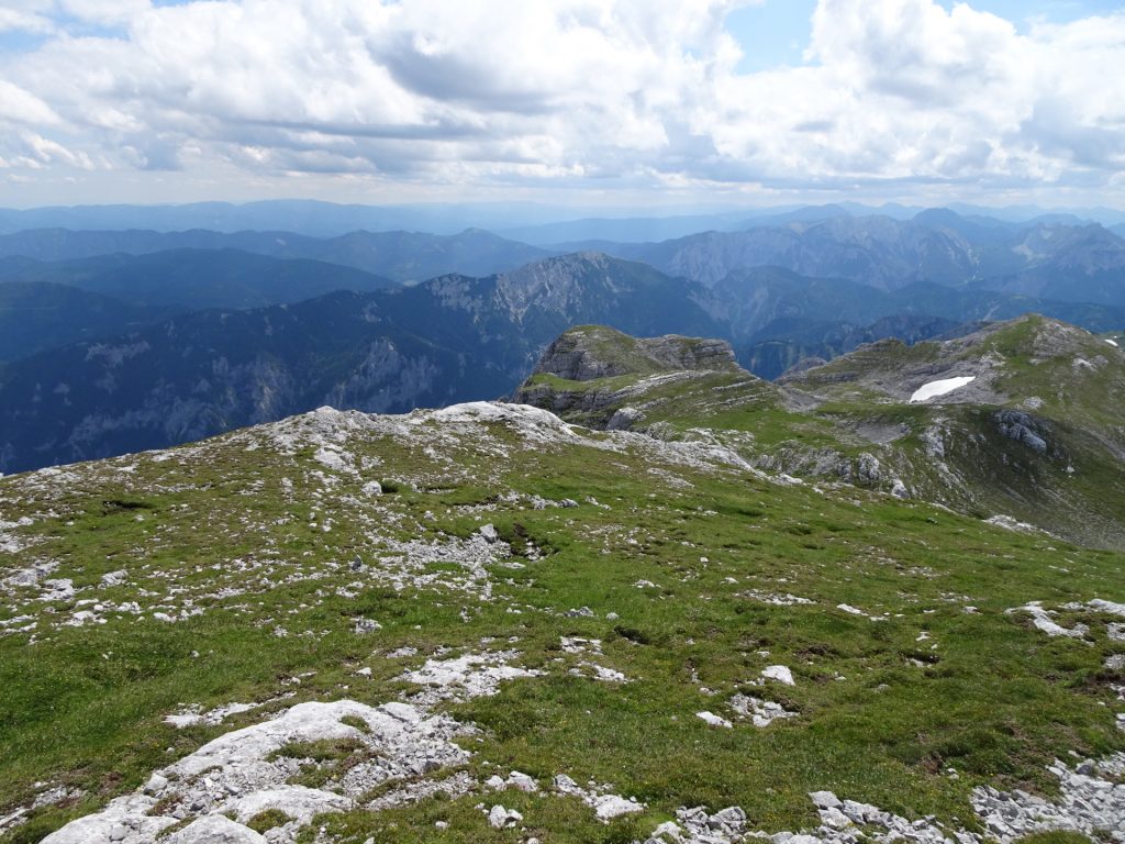
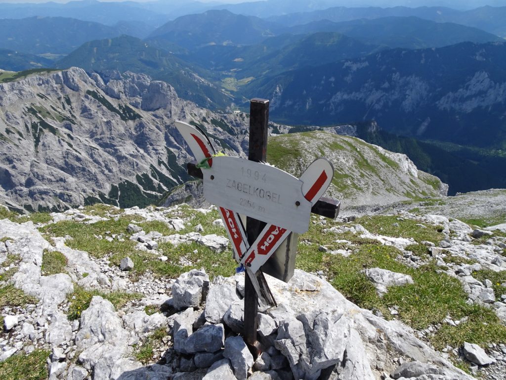
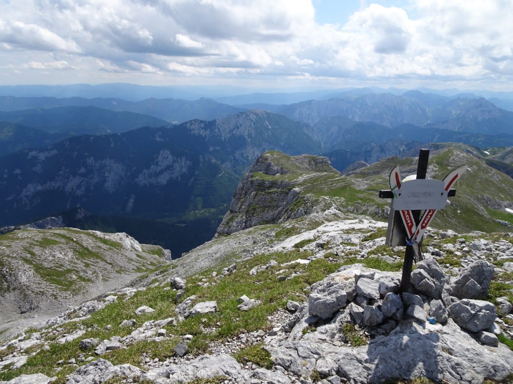
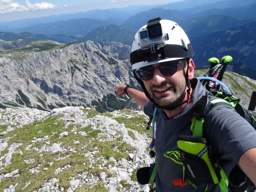
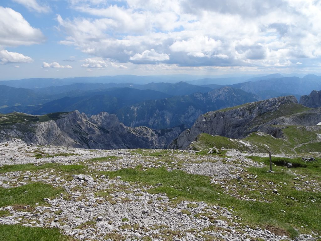
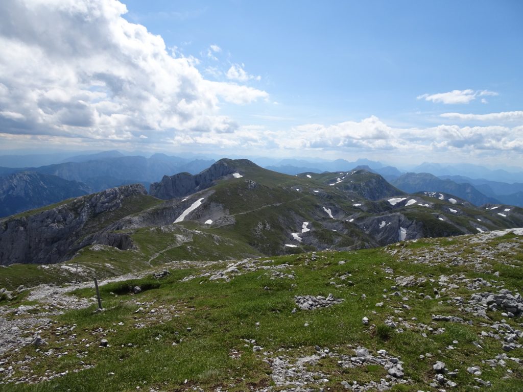
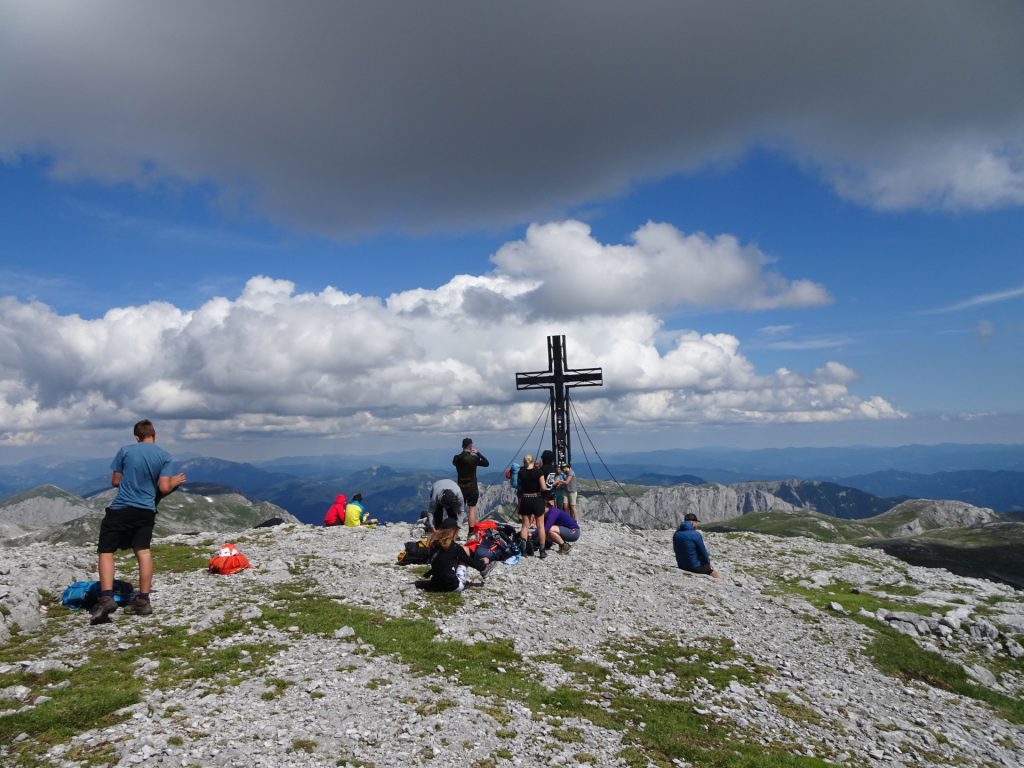
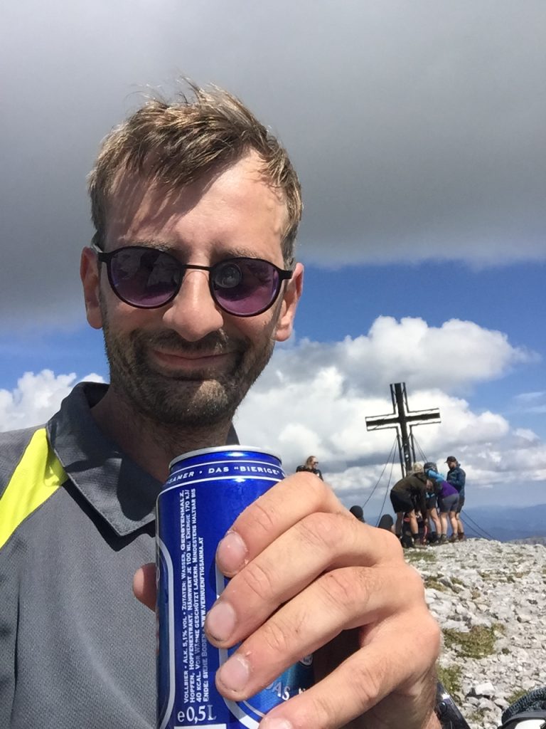
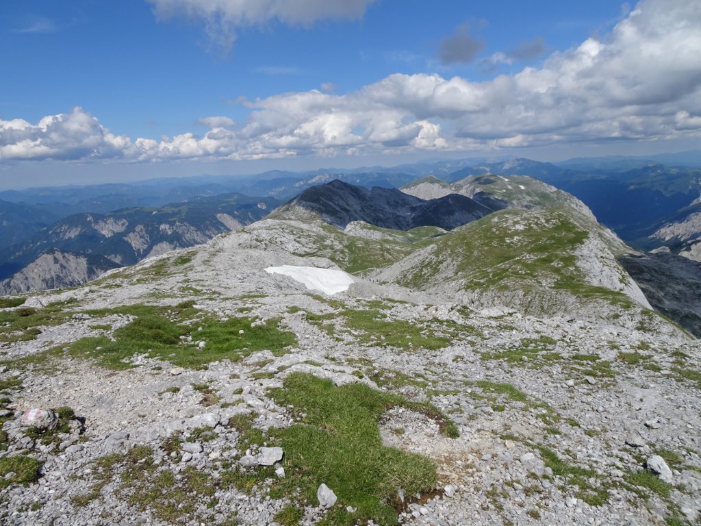
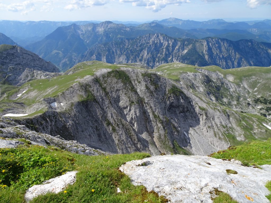
| 03:25 | Enjoy the very impressive surround view on the summit of Zagelkogel. The summit cross is marked with two broken skis. Indeed, best enjoyed with a self-brought and deserved refreshment ()! |
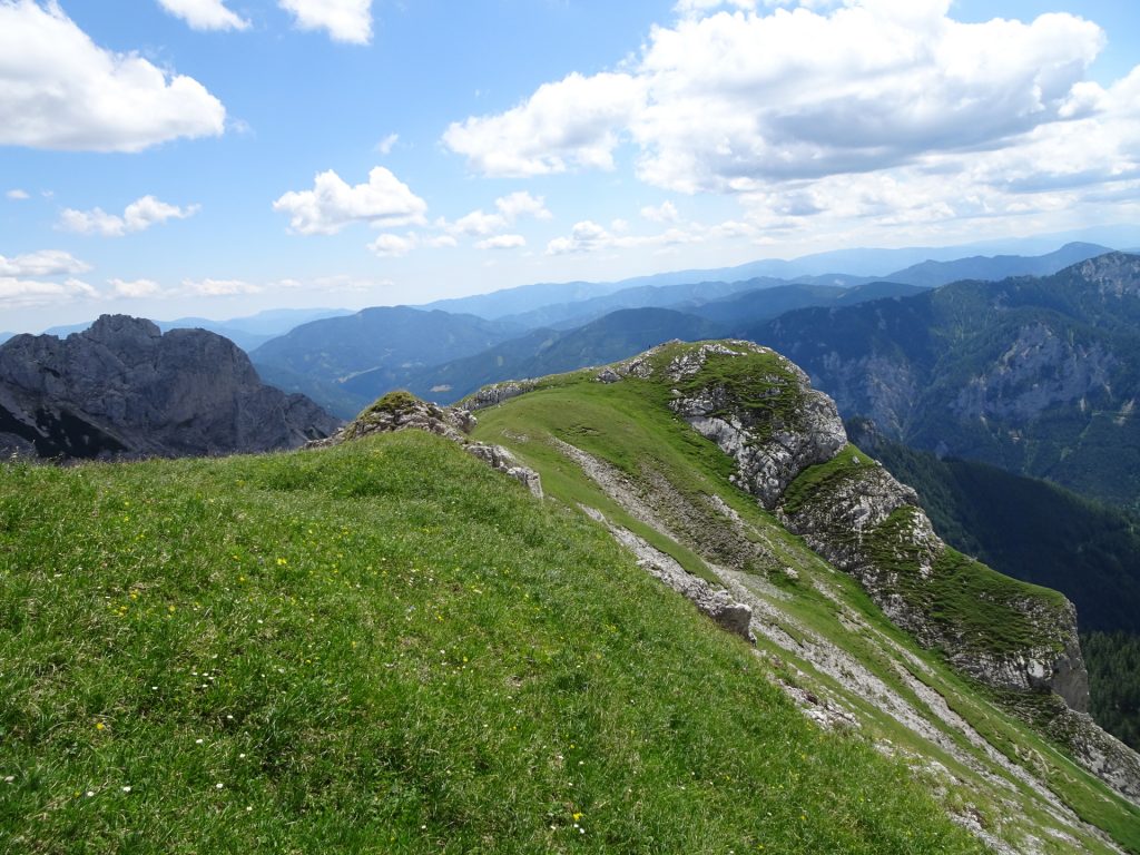
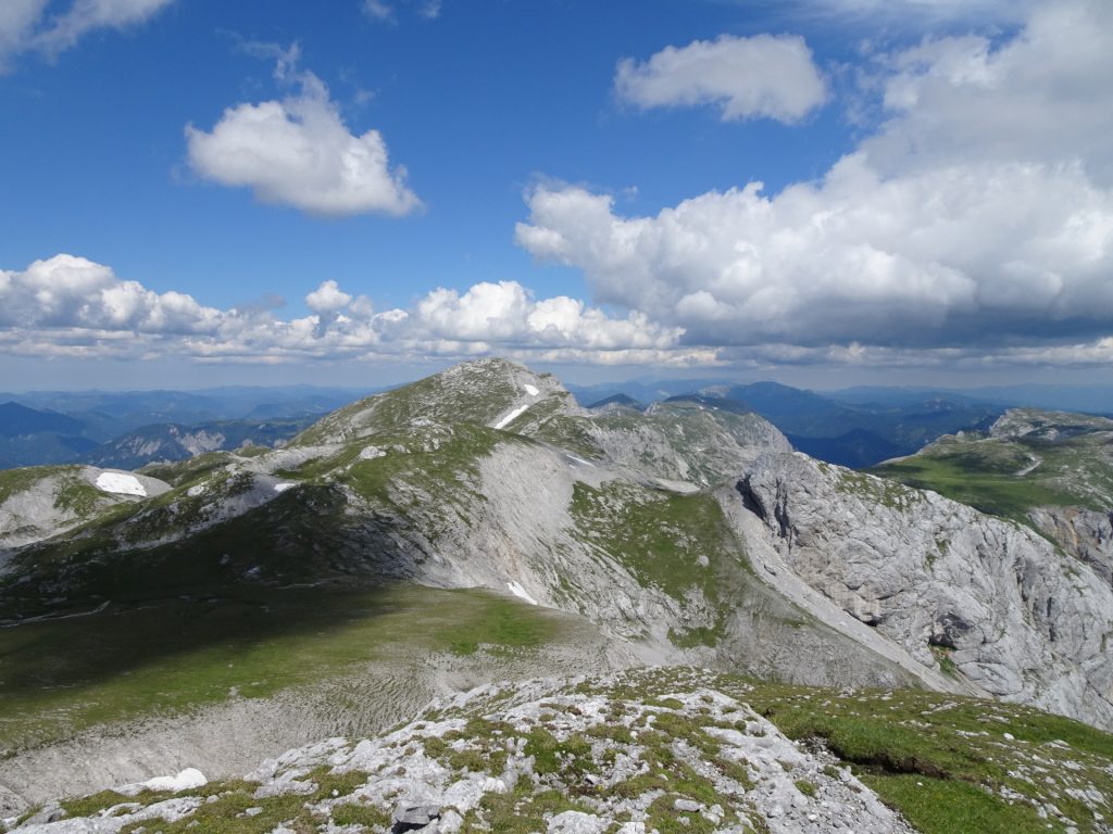
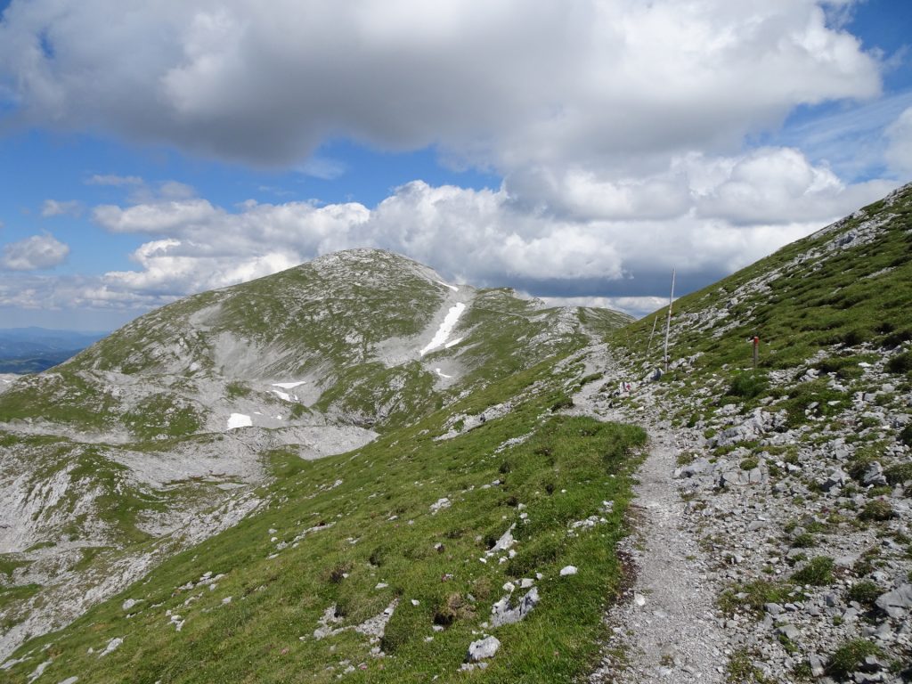
| 03:35 | Descend through the meadow (no trail!) towards the visible hiking trail and follow the hiking trail northeastwards towards the (visible) Hochschwab summit. |
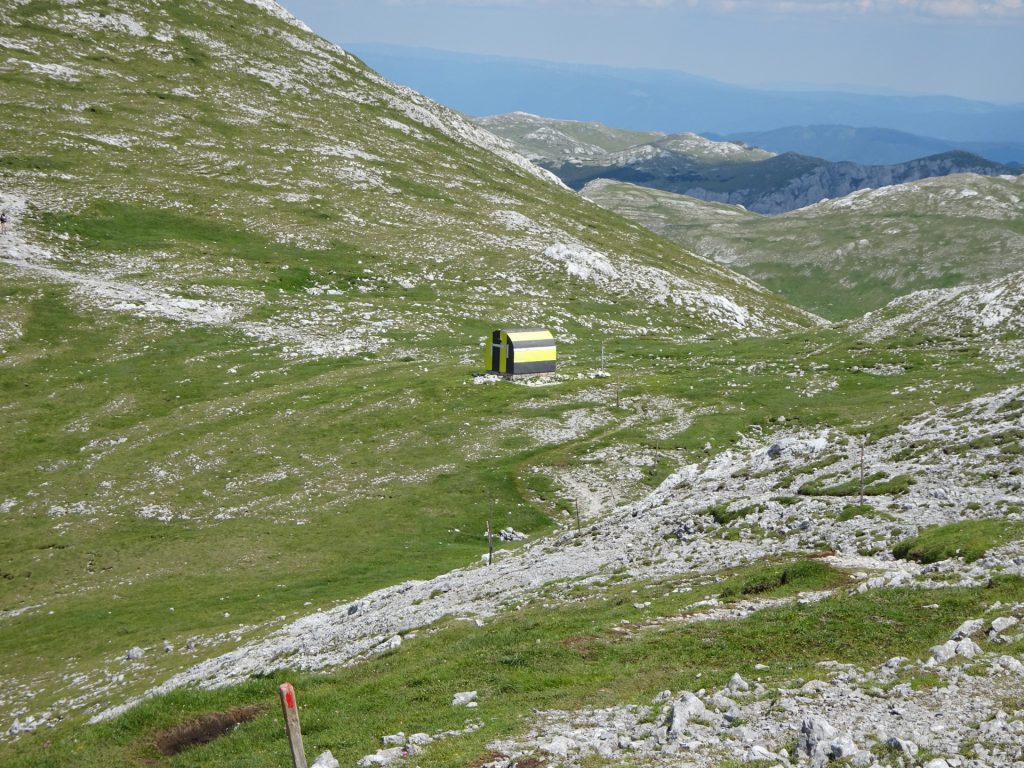
| 03:50 | Pass by the Fleischer-Biwak and follow the trail up to the summit of Hochschwab (keep straight ahead!). |
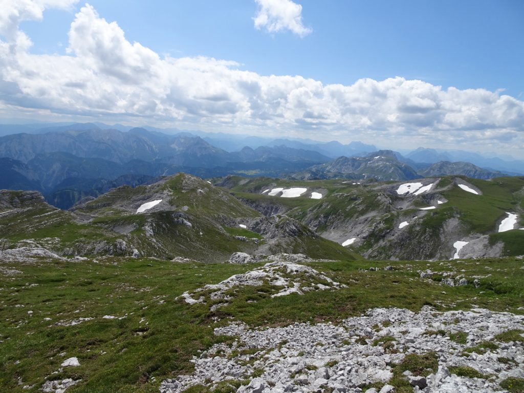
| 04:00 | Enjoy the amazing surround view from the summit of Hochschwab. |
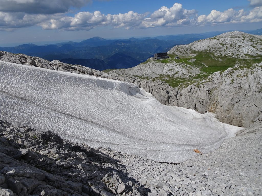
| 04:05 | Continue on the trail eastwards and descend towards the Schiestlhaus (visible after a few meters). |
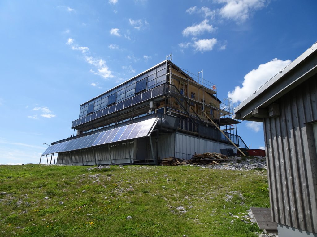
| 04:15 | Well deserved break ( ) at the Schiestlhaus. |
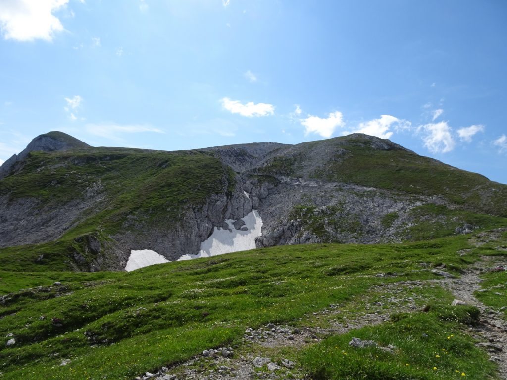
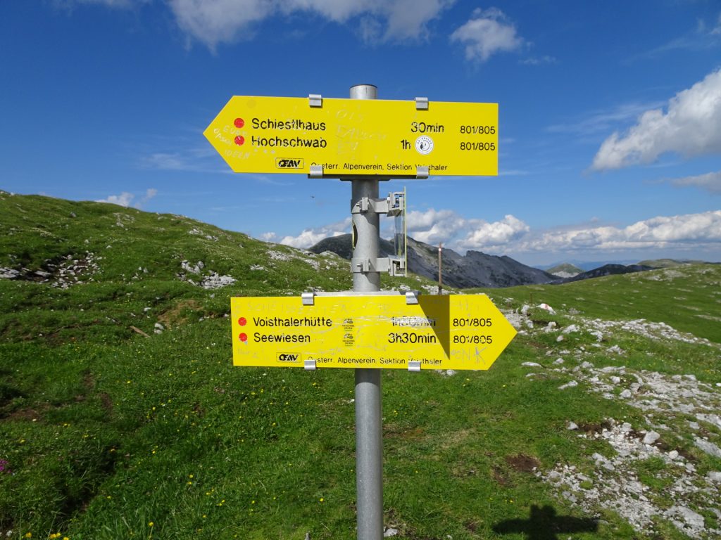
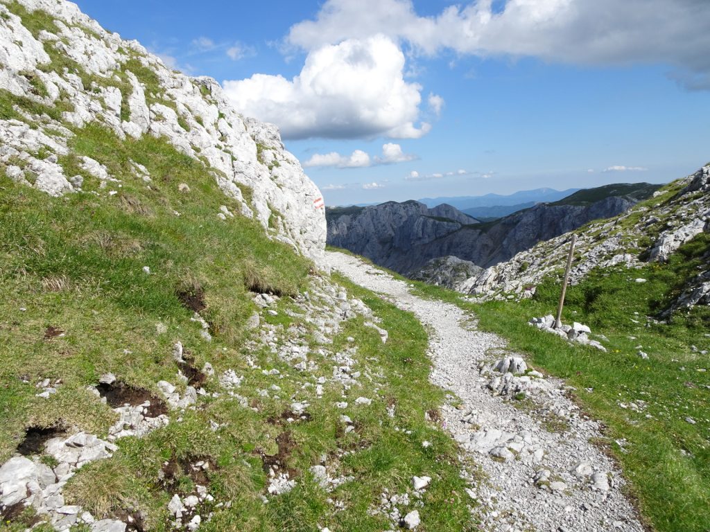
| 05:00 | Follow the trail eastwards towards Voisthalerhütte / Seewiesen and descent via the Graf-Meran-Steig. |
| 05:45 | At the crossing, turn left and follow the trail up to Trawiessattel / Bodenbauer. |
| 06:40 | At the Vogauer Kreuz, keep left and descend back to the Trawiesalm / Bodenbauer. |
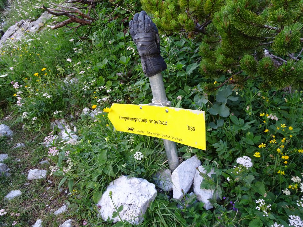
| 07:05 | At the crossing, consider taking the upper route (Umgehungssteig Vogelbac) for an easier descent (the lower route is fairly exposed, sometimes wet and thus slippery). |
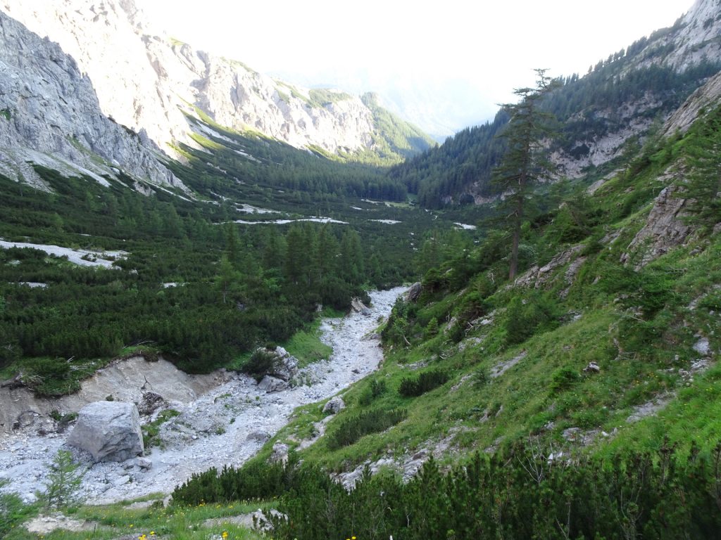
| 07:20 | Follow the dried out river which leads you automatically back to the Trawiesalm mountain pasture and the trail used for ascending. |
| 07:45 | Follow the same trail back to the parking that was used for ascending. |
| 08:30 | Back at Bodenbauer parking, end of the tour. |
| Area: | Hochschwab, Styria, Austria | |
| Distance: | 19km | |
| Ascent: | 1700m (4h 30min) | |
| Descent: | 1700m (3h 30min) | |
| Highest Pt: | 2277m | |
| Lowest Pt: | 881m | |
| Duration: | 7h 30min (without breaks) 8h 30min (with breaks) |
|
| Stop/Rest: | Alpengasthof Bodenbauer (884m) Schiestlhaus (2156m) |
|
| Equipment: | Helmet Hiking shoes with good grip (on rock) Backpack with standard hiking equipment Food/snacks and plenty(!) of water 2-3x “Gipfelbier” () Sun & Weather protection Camera GPS recommended! |
| Download GPX | ||
| O | Tour at outdooractive.com |
At a glance
| Level | moderate alpine |
| – UIAA Level (Climbing) | I+ |
| Technique | |
| Shape / Fitness | |
| Experience | |
| Scenery | |
| Best time in the year | |
|
Jan
Feb
Mar
Apr
May
Jun
Jul
Aug
Sep
Oct
Nov
Dec
|
|






















Leave a Reply