
Short but promising tour up to Großer Pfaff via Harterkogel starting from Feistritzsattel
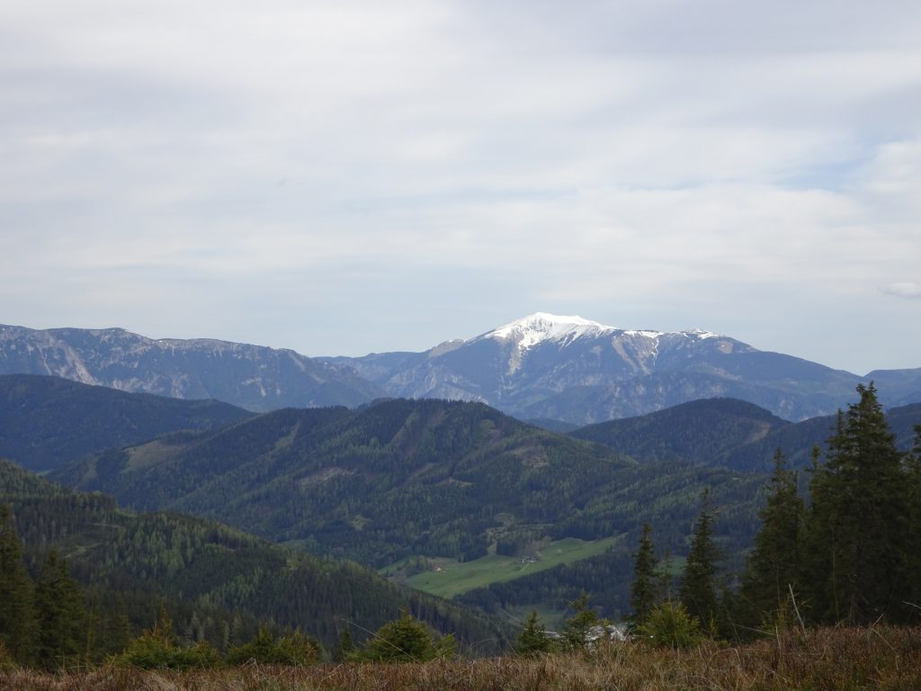
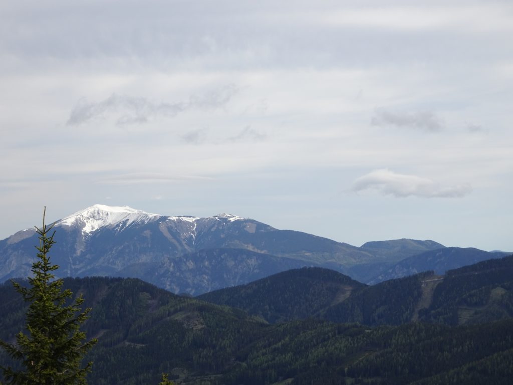
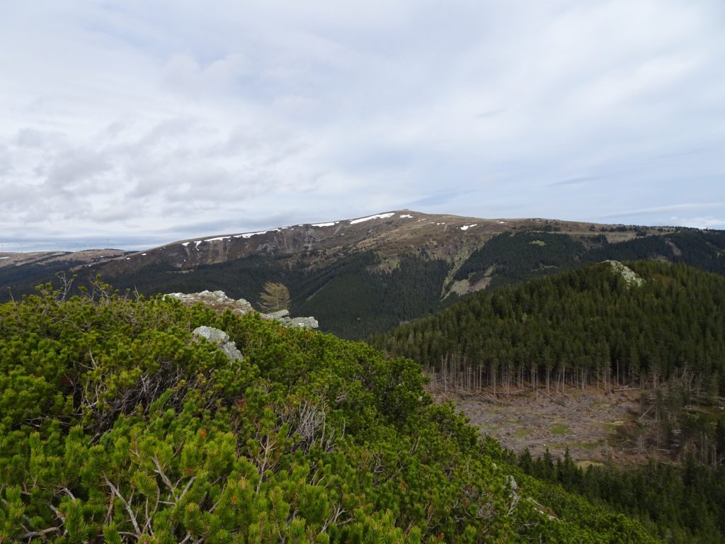
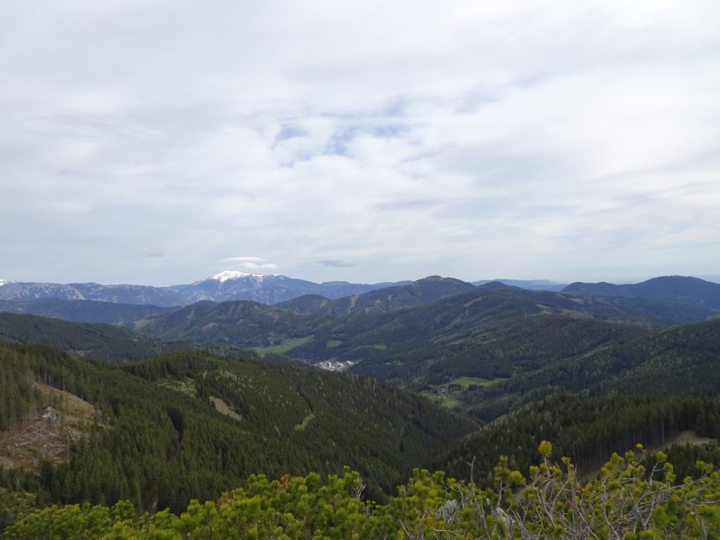
The tour starts at the parking Feistritzsattel (GPS: 47.567648, 15.864767) and follows the Alpannonia® trail towards Stuhleck (westwards). It first ascends up to the Harterkogel plateau which provides a promising surround view towards Stuhleck and the entire Rax / Schneeberg group. It then leads through impressive mountain pasture towards the steep ascent of Großer Pfaff. If done from the east, the ascent requires basic climbing skills (UIAA I-), the west ascent is a steep but normal hiking path (here used for descending). The tour uses the same way back to the parking.
 |
The Alpannonia® long distance trail combines in up to 7 stages a tour from the eastern alps in Austria towards the “pannonian lowlands” in Hungary. The entire trail is 125 km long and 3.800 meters in ascent. It is normally done in 7 days, starting in Fischbach (AT) and ending in Köszeg (HU). For more information visit www.alpannonia.at. |
This tour is part of the Alpannonia® long distance trail. It covers the last part of stage 1b (“Pretul” – “Feistritzsattel”).
Tour Description
| 00:00 | Start at the parking Feistritzsattel (GPS: 47.567648, 15.864767) and first follows the street westwards for a couple of meters. |
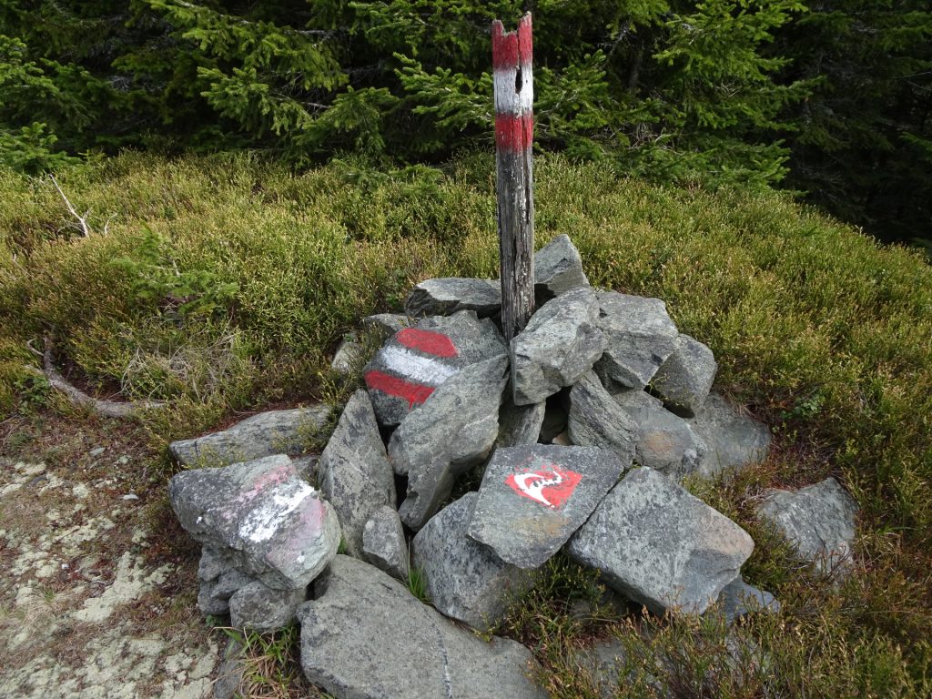
| 00:05 | At the first crossing, turn left and follow the forest street upwards (marked with the red Alpannonia® logo). |
| 00:10 | At the crossing, keep left and follow the Alpannonia® trail towards Stuhleck (please note that here the Alpannonia splits between the longer 1a alternative and 1 (towards Semmering)). |
| 00:15 | At the crossing, turn slightly left (not sharp left) and follow the Alpannonia trail. |
| 00:20 | Keep right and follow the trail upwards. |
| 00:30 | Keep right and follow the smaller tail upwards. |
| 00:40 | At the plateau (mountain pasture), follow the trail straight ahead (but go to the northern ridge to enjoy the impressive distance views!). |
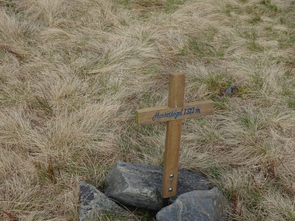
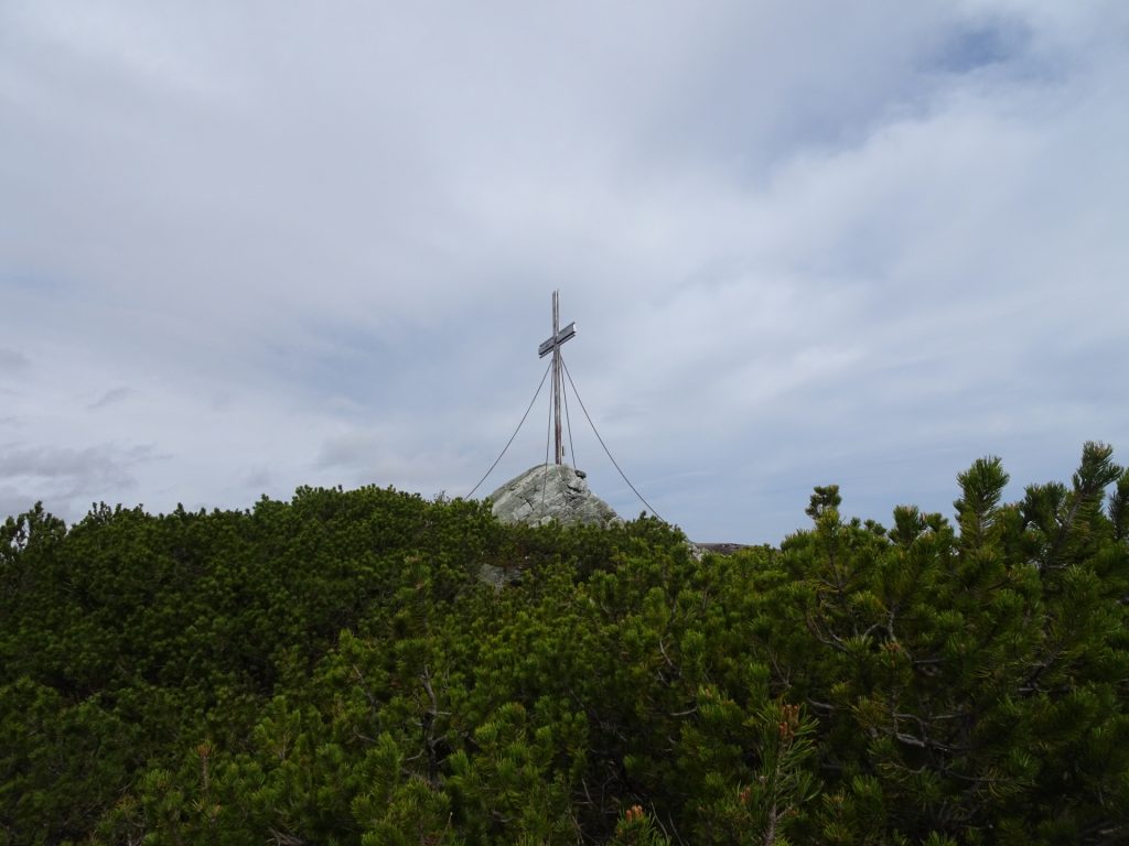
| 00:50 | Enjoy the “impressive” summit cross of Harterkogel. From here you are able to see the Großer Paff. Follow the trail westwards (descending). |
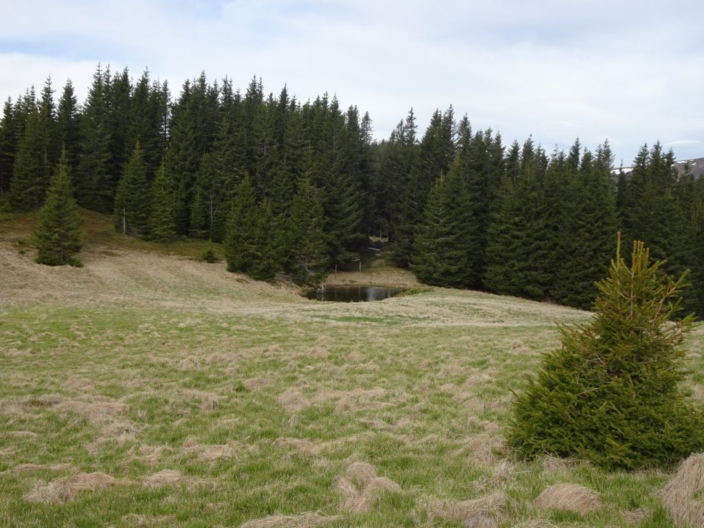
| 01:00 | Pass by the small pond and follow the trail through the forest. |
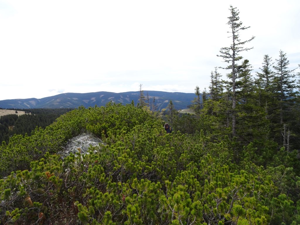
| 01:10 | At the saddle, keep straight ahead (leave the official trail) and follow the small trail (bad marked) up to Großer Pfaff (UIAA I-). |
| 01:20 | Well deserved break at Großer Pfaff. Best enjoyed with self-brought refreshments ! |
| 01:40 | Follow the trail westwards for the easier descent. |
| 01:45 | Turn right and follow the marked trail back to Harterkogel and Feistritzsattel (follow the red Alpannonia® markings) |
| 03:00 | Back at the parking, end of the tour. |
At a glance
| Level | easy |
| – UIAA Level (Climbing) [Hausstein] | I- / 0+ |
| Technique | |
| Shape / Fitness | |
| Experience | |
| Scenery | |
| Best time in the year | |
|
Jan
Feb
Mar
Apr
May
Jun
Jul
Aug
Sep
Oct
Nov
Dec
|
|
General Tour Data
| Area: | Fischbacher Alpen, Lower Austria/Styria, Austria | |
| Distance: | 8km | |
| Ascent: | 411m (1h 30min) | |
| Descent: | 407m (1h 25min) | |
| Highest Pt: | 1555m | |
| Lowest Pt: | 1283m | |
| Duration: | 2h 40min (without breaks) 3h 00min (with breaks) |
|
| Stop/Rest: | none / bring your own food! | |
| Equipment: | Hiking shoes Shoe chains (“Grödeln”) in winter Backpack with standard hiking equipment Snacks and water 1x Gipfelbier Sun & Weather protection Camera |
| Download GPX | ||
| O | Tour at outdooractive.com |











Leave a Reply