
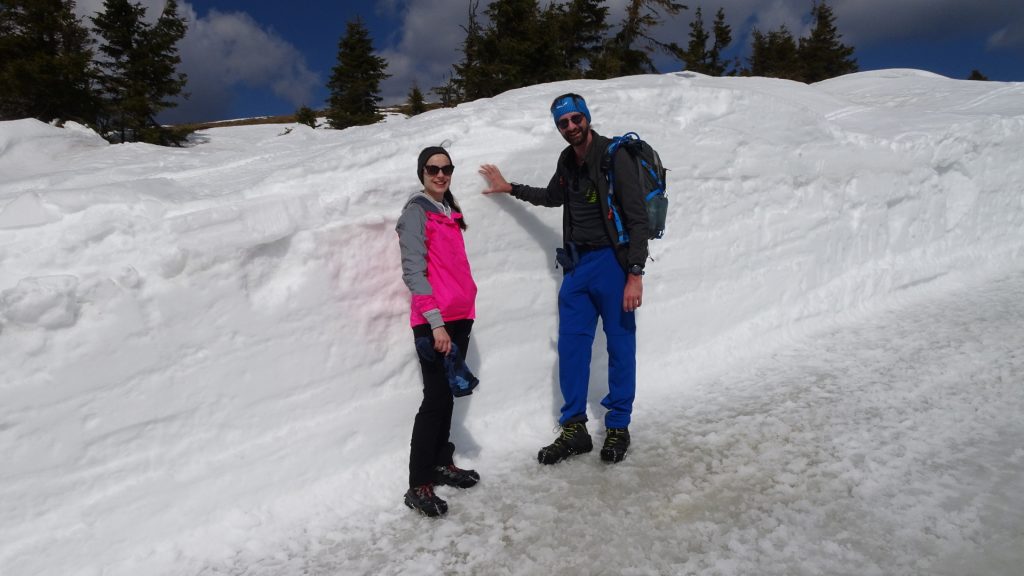
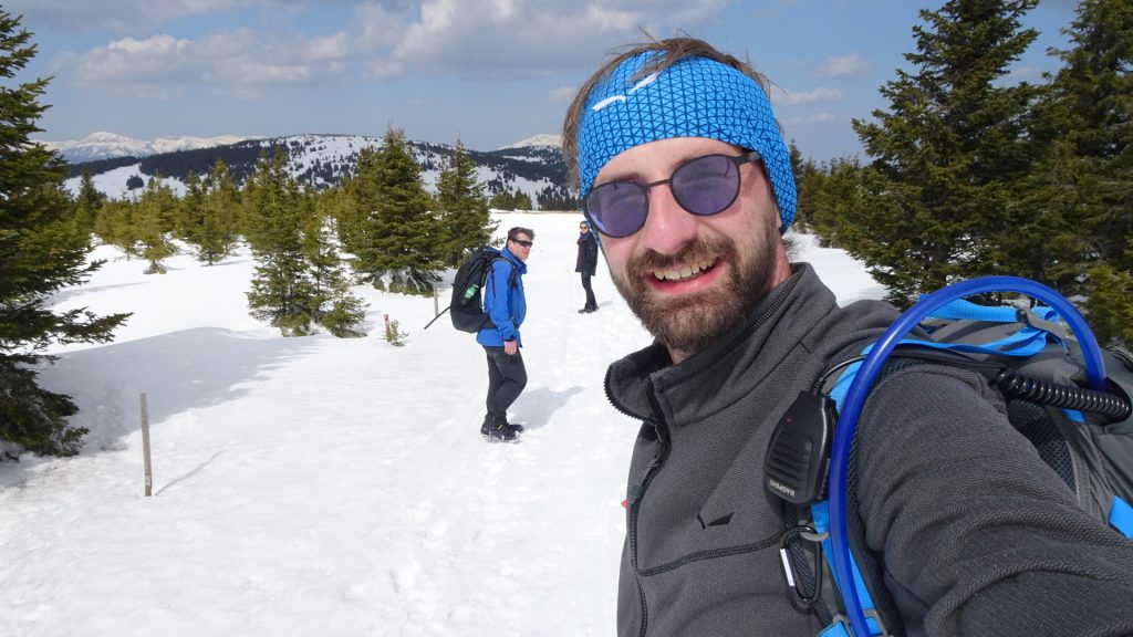
Nice winter tour up to Hochwechsel from Rabelkreuz
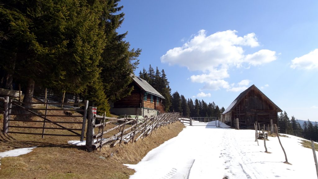
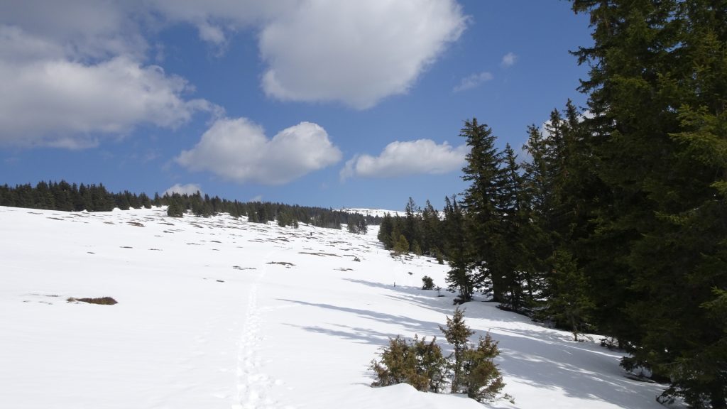
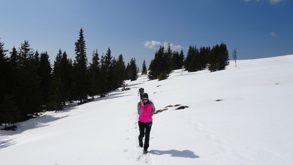
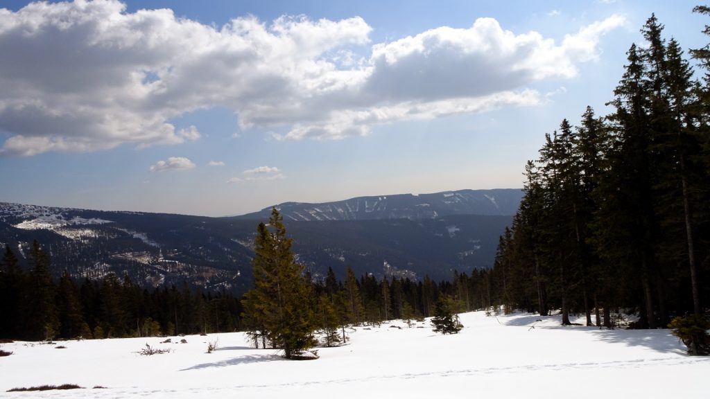
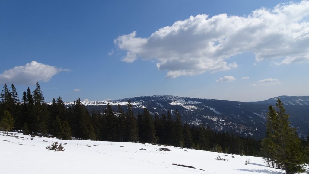
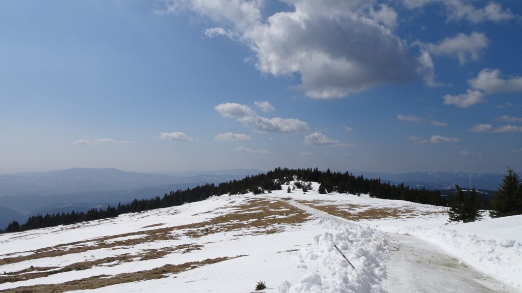
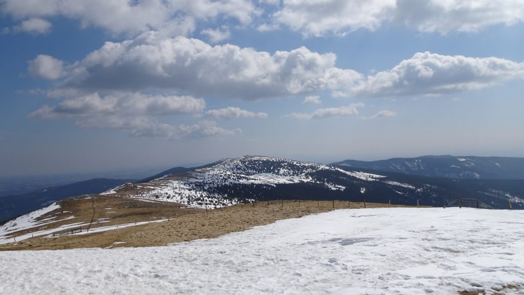
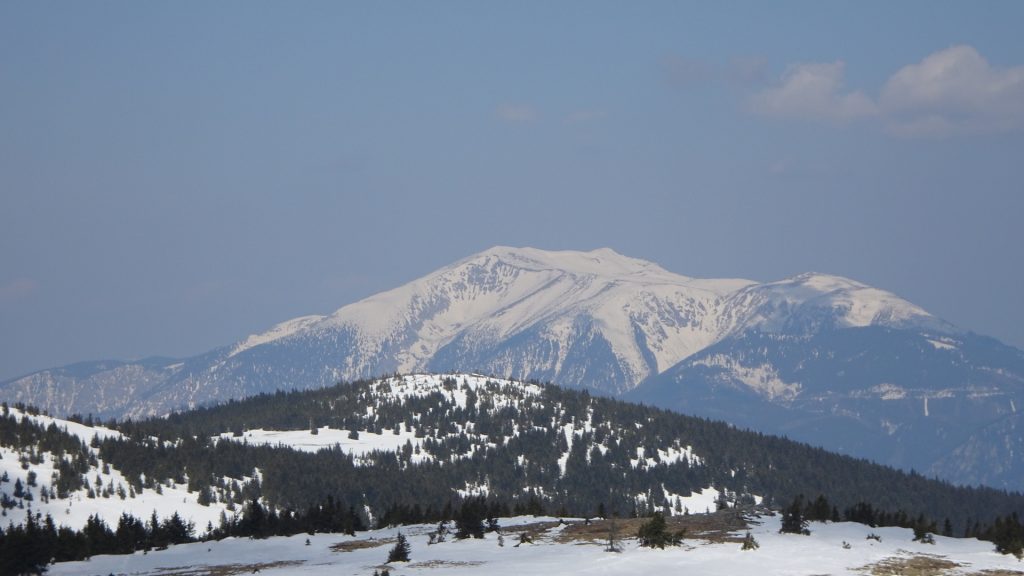
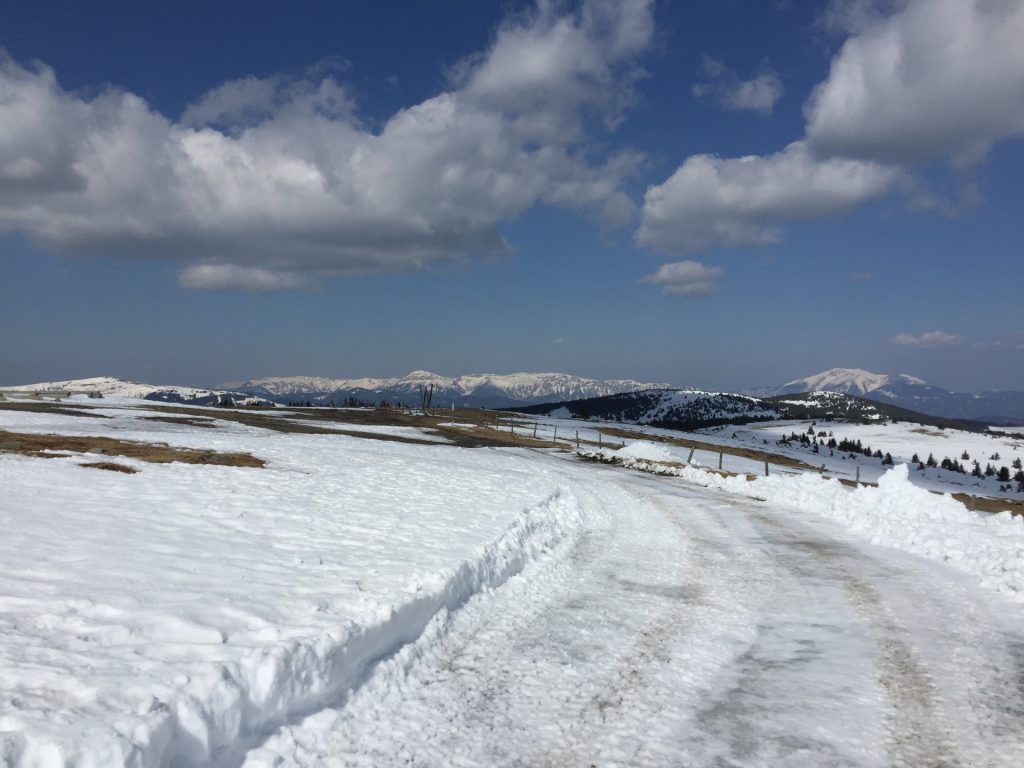
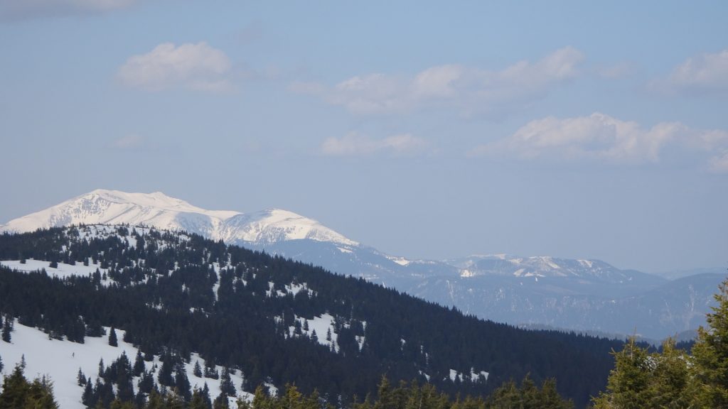
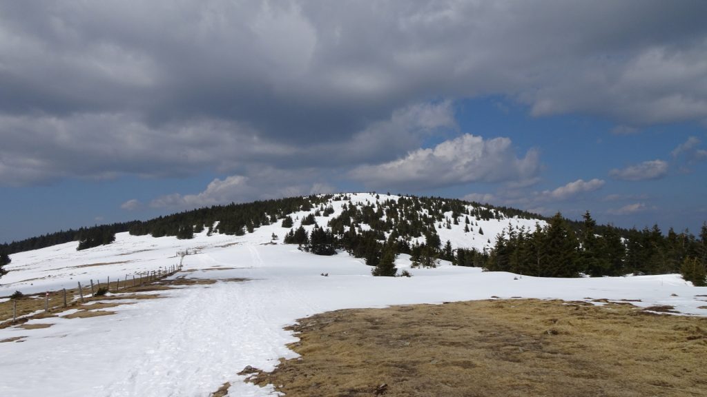
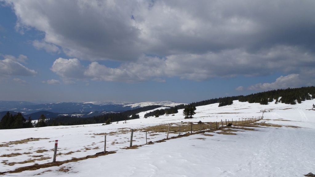
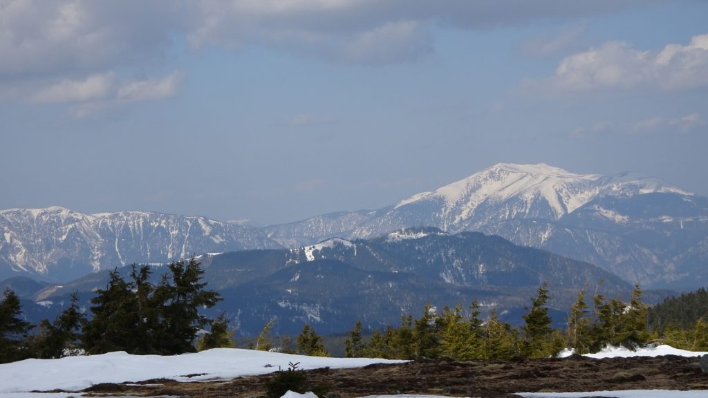
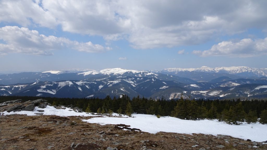
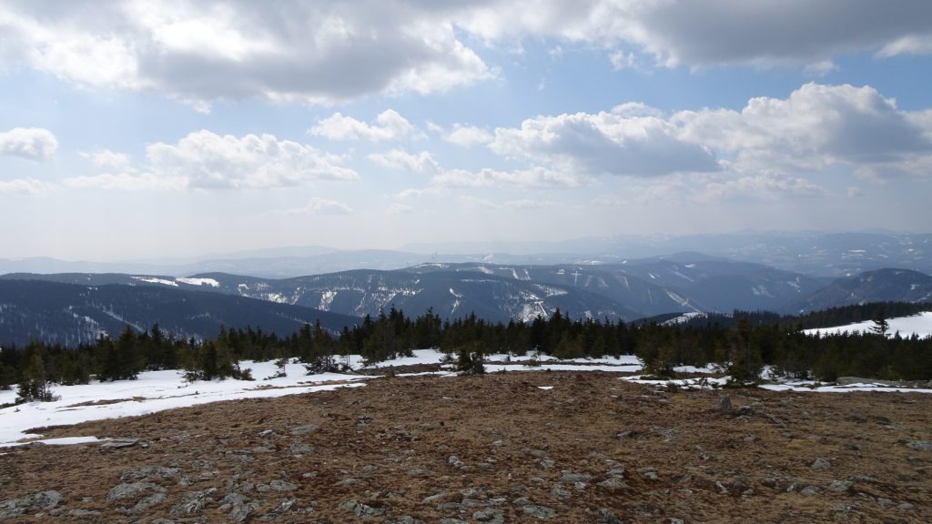
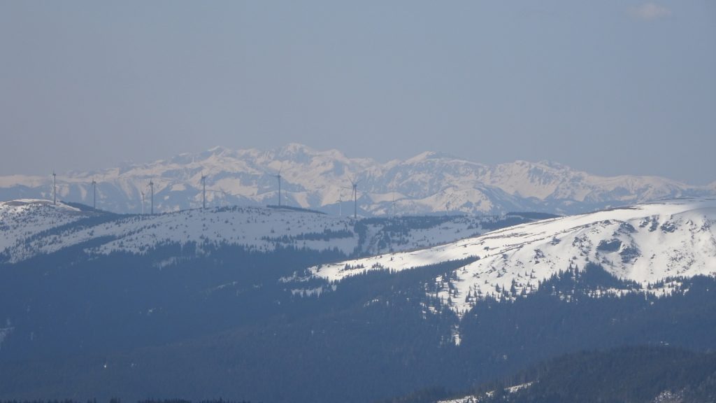
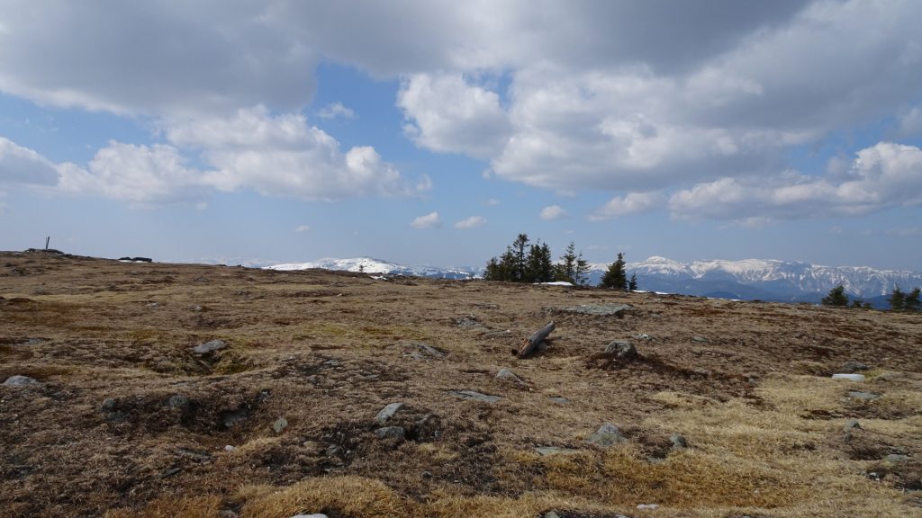
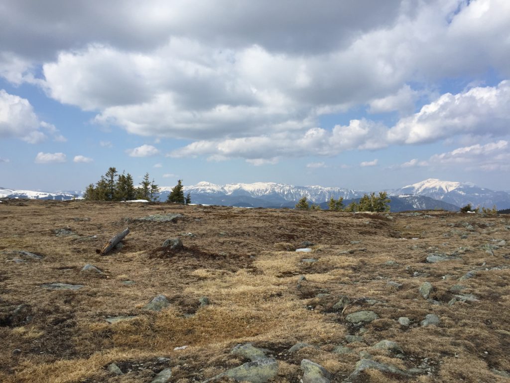
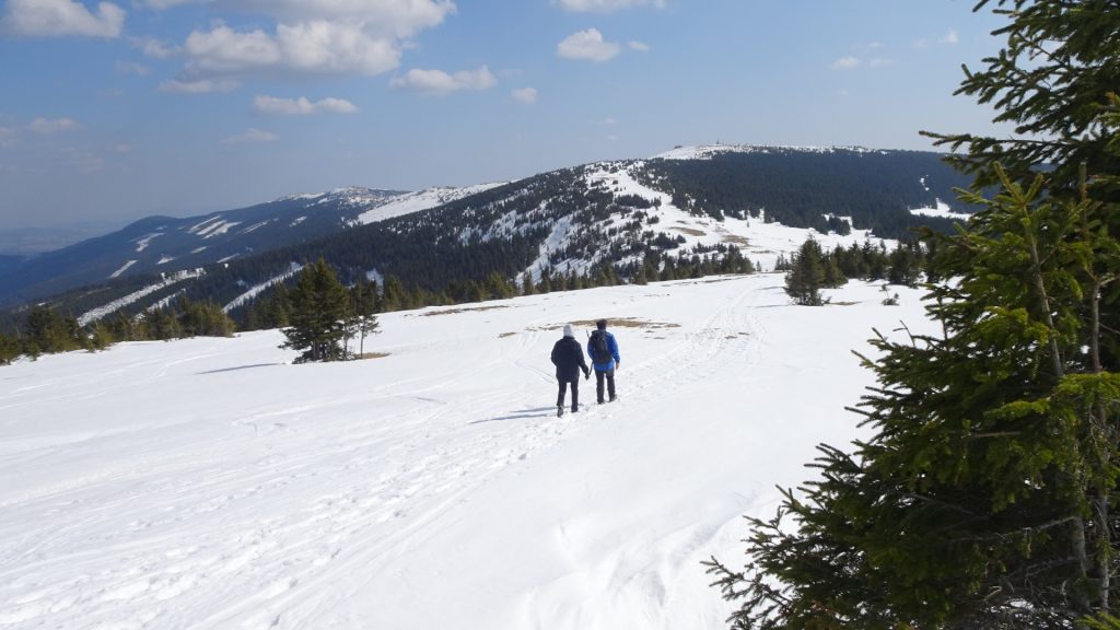
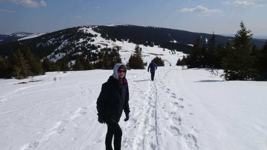
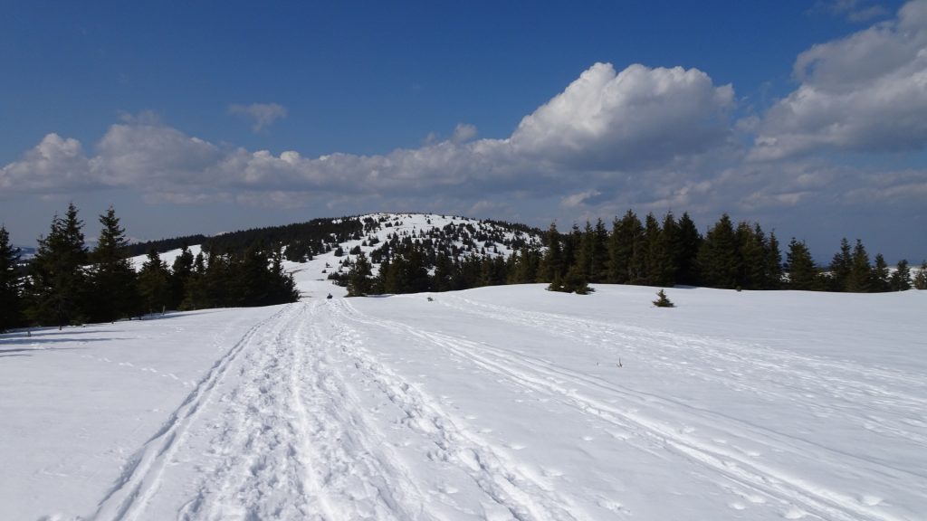
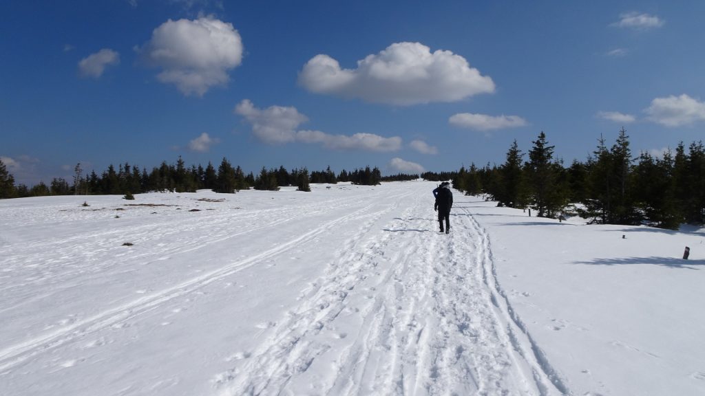
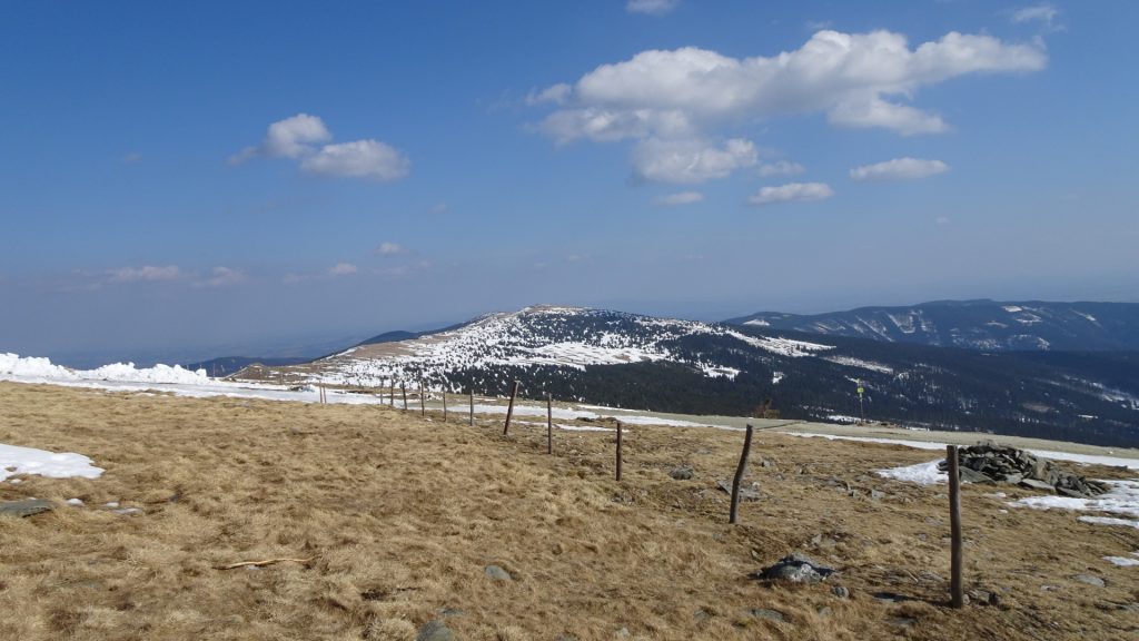
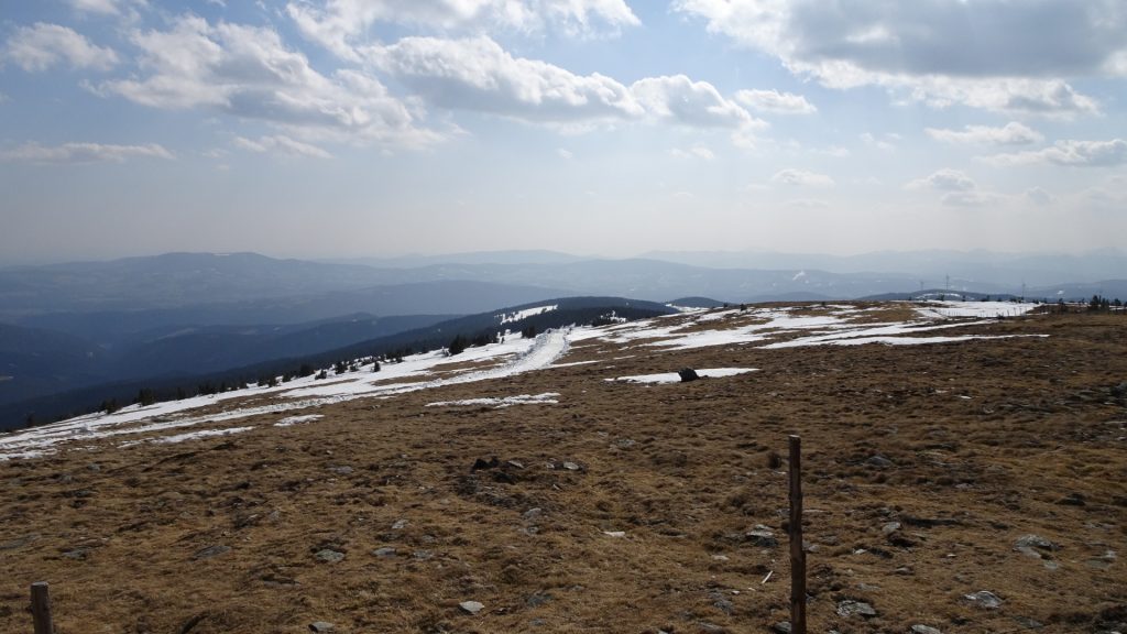
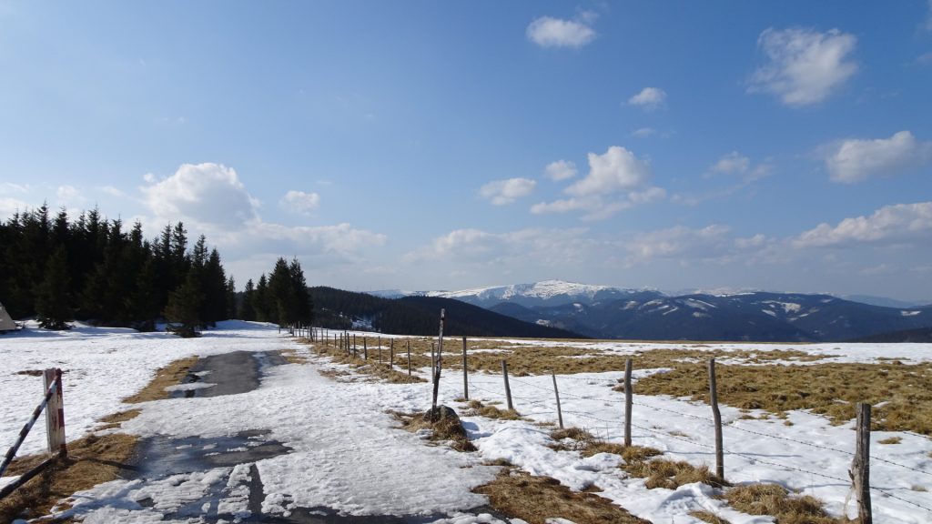
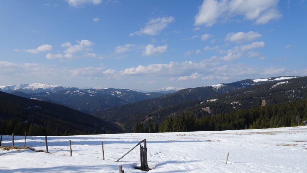
The tour starts at the parking Rabl-Kreuz-Hütte (GPS: 47.505235, 15.871550) and first follows the trail towards Kaltwiesen-Hütte (south-wards). After passing beautiful mountain huts, the tour then slowly ascends towards Hochwechsel. Following the trail further westwards, the tour then leads to Umschussriegel, allowing an amazing view towards Schneeberg and Stuhleck. On the way back, the tour follows the easy Hochwechselweg back towards the parking.
Tour Description
| 00:00 | Start at the parking Rabel-Kreuz-Hütte (GPS: 47.505235, 15.871550) and follow road (toll-road) heading westwards. |
| 00:08 | At the crossing, turn right and follow the trail south-westwards. |
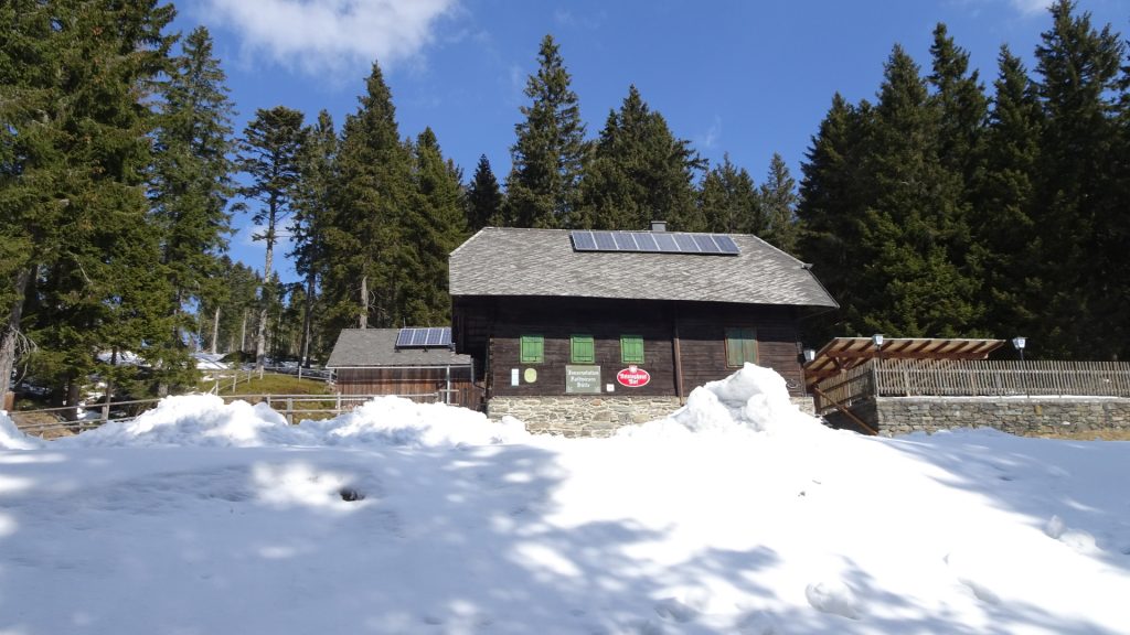
| 00:25 | Pass by the Kaltwiesen Hütte and stay on the track on the right hand-side. |
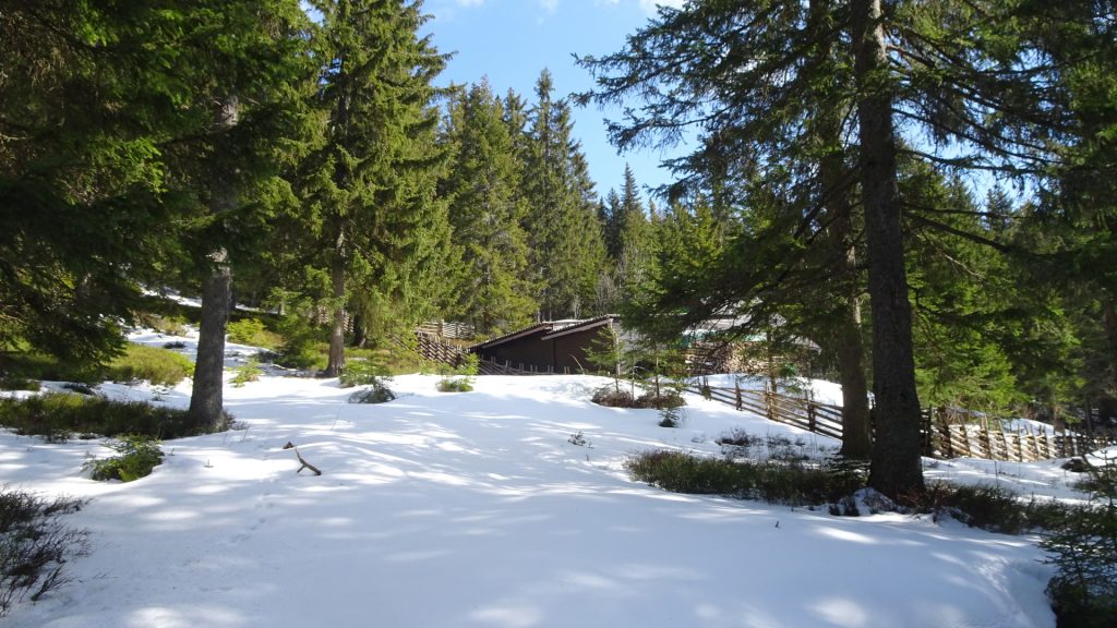
| 00:30 | Pass by the beautiful mountain huts and stay on the marked trail. |
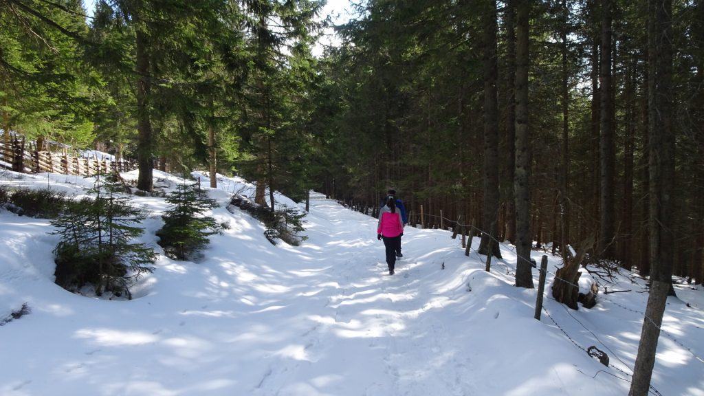
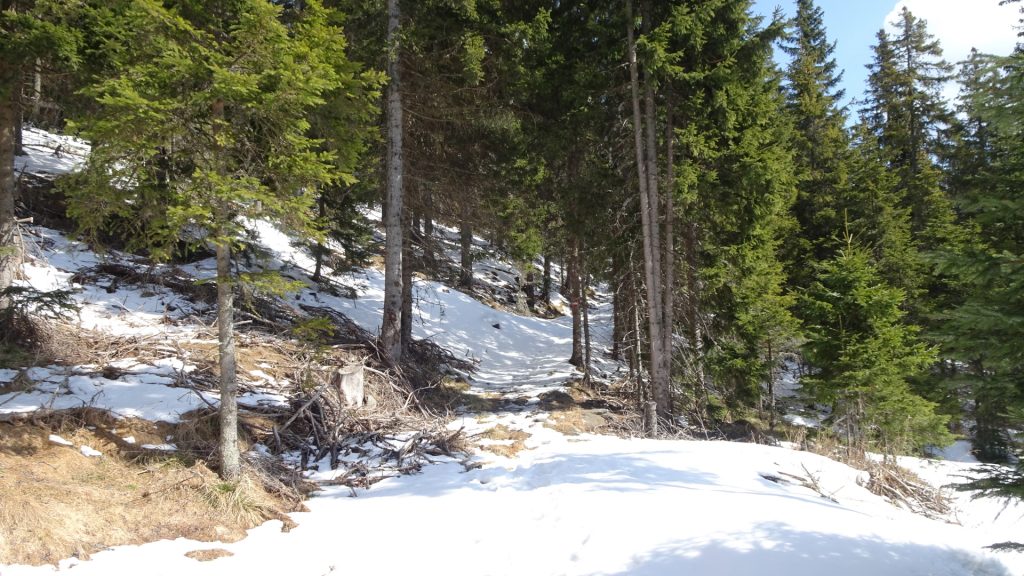
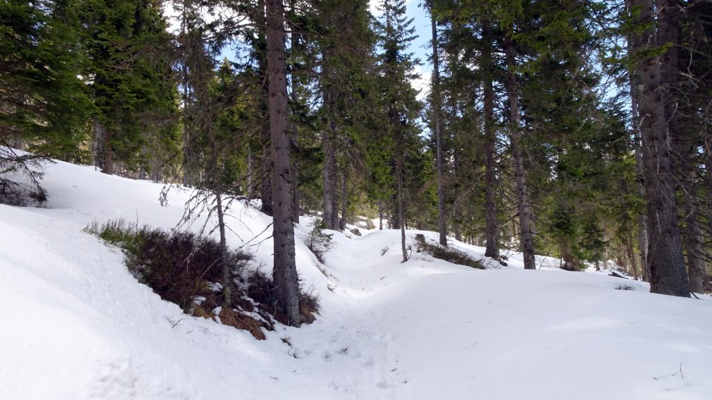
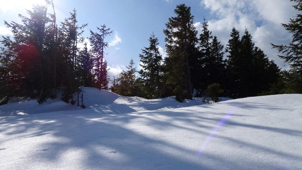
| 00:40 | At the crossing, turn left and follow the trail through the forest upwards (north). |
| 00:45 | Keep left and follow the trail upwards. |
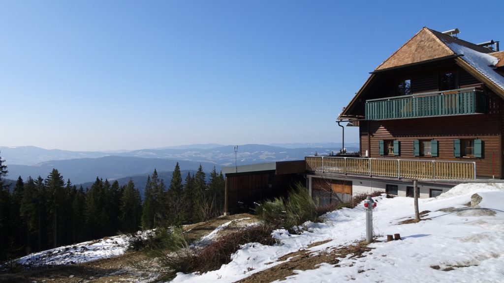
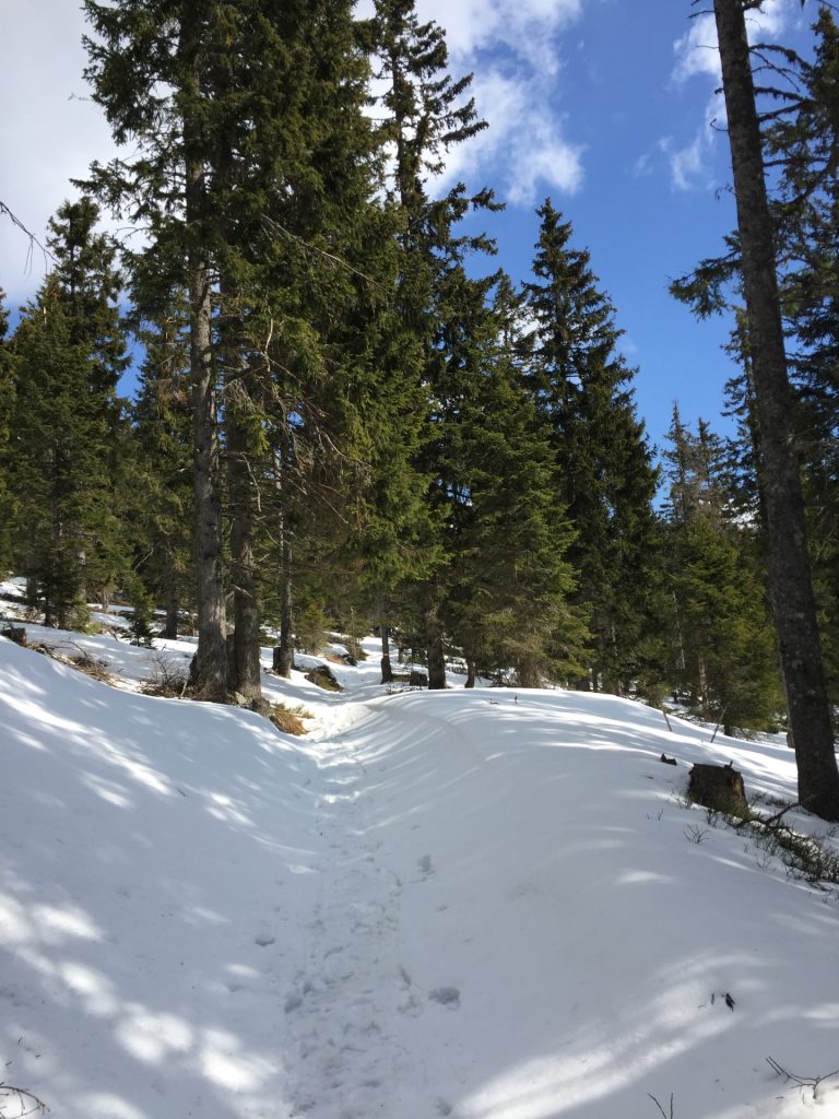
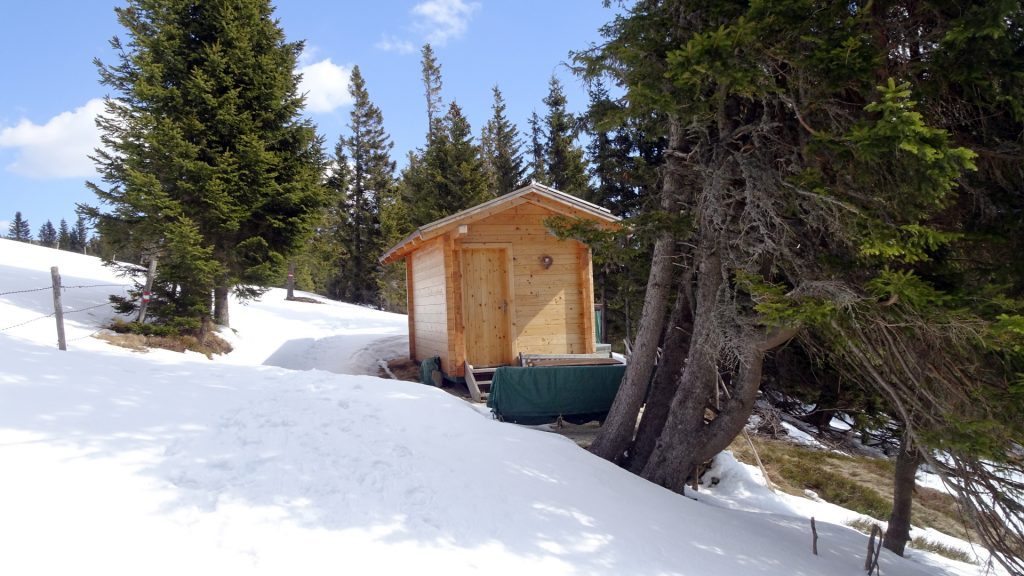
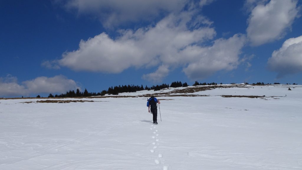
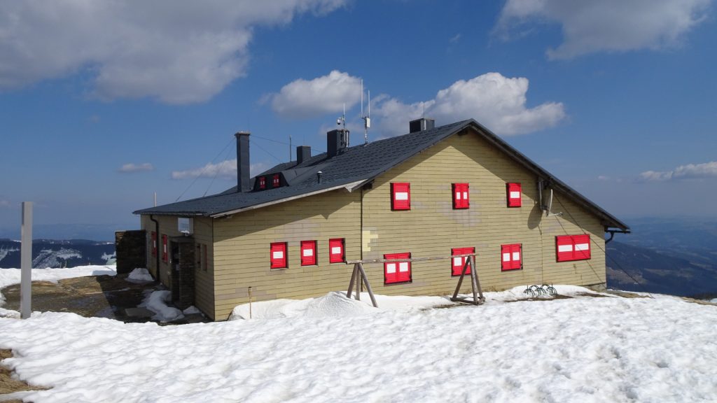
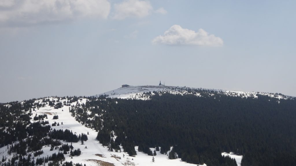
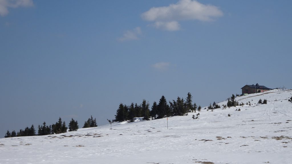
| 00:55 | Cross the street and follow the trail upwards to Hochwechsel, passing by the wooden mountain hut. |
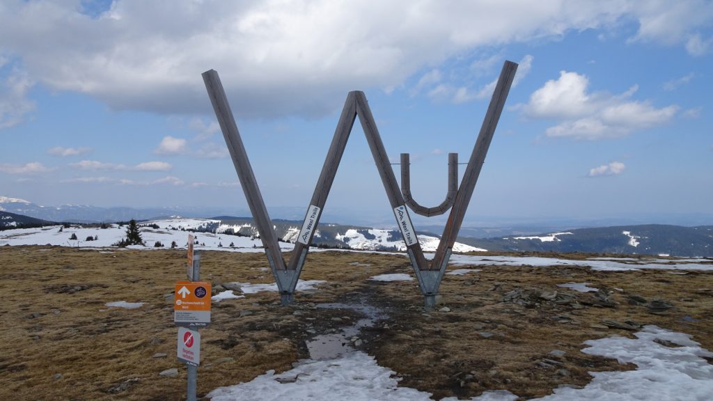
| 01:50 | Break at the Hochwechsel. You might consider having lunch ( ) at the Wetterkoglerhaus. |
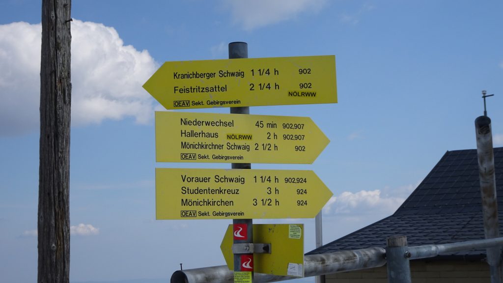
| 02:35 | Continue following the road north towards Feistritzsattel (see signposts). Keep straight-ahead all times. |
| 03:00 | Turn left and follow the small trail upwards (steeper!) towards Umschussriegel. |
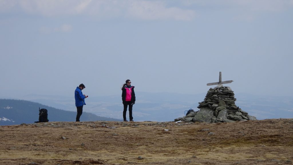
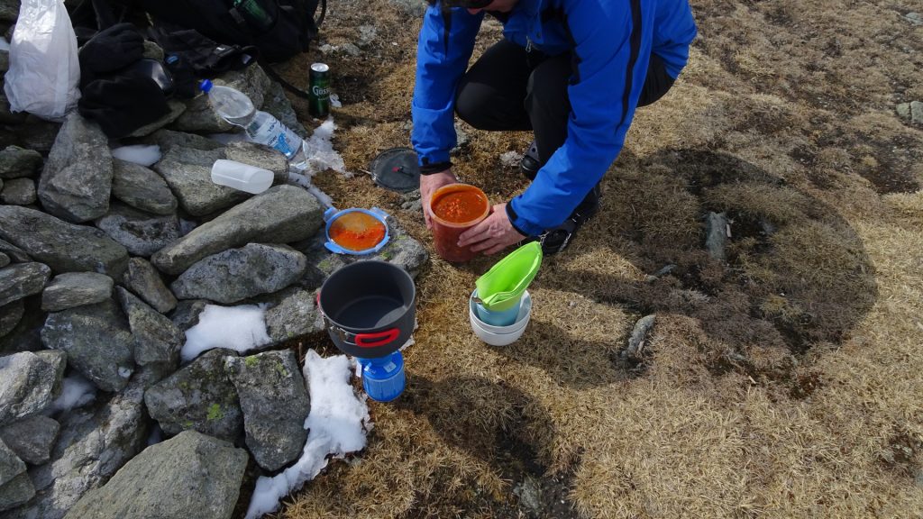
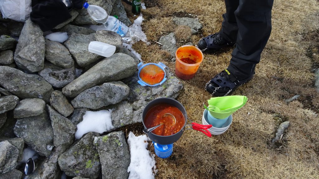
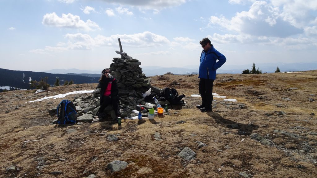
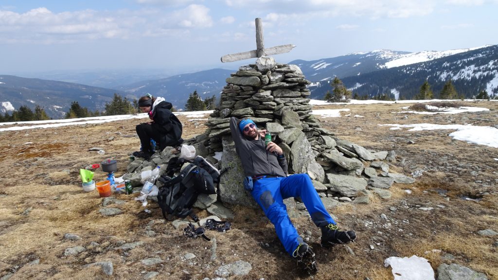
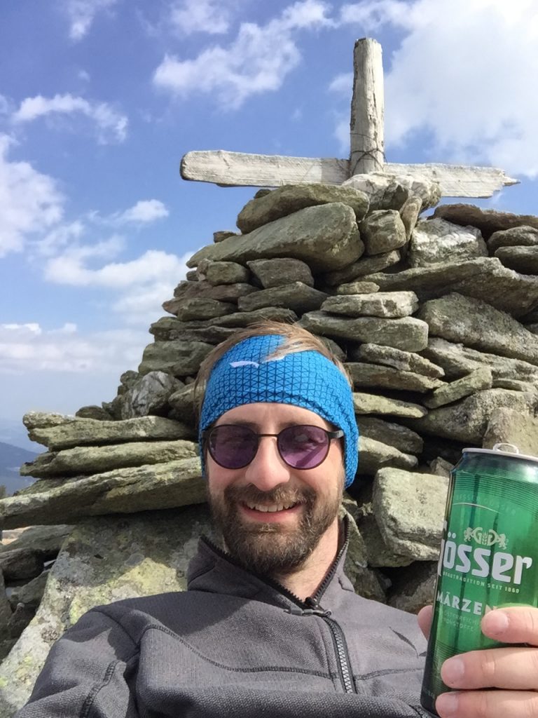
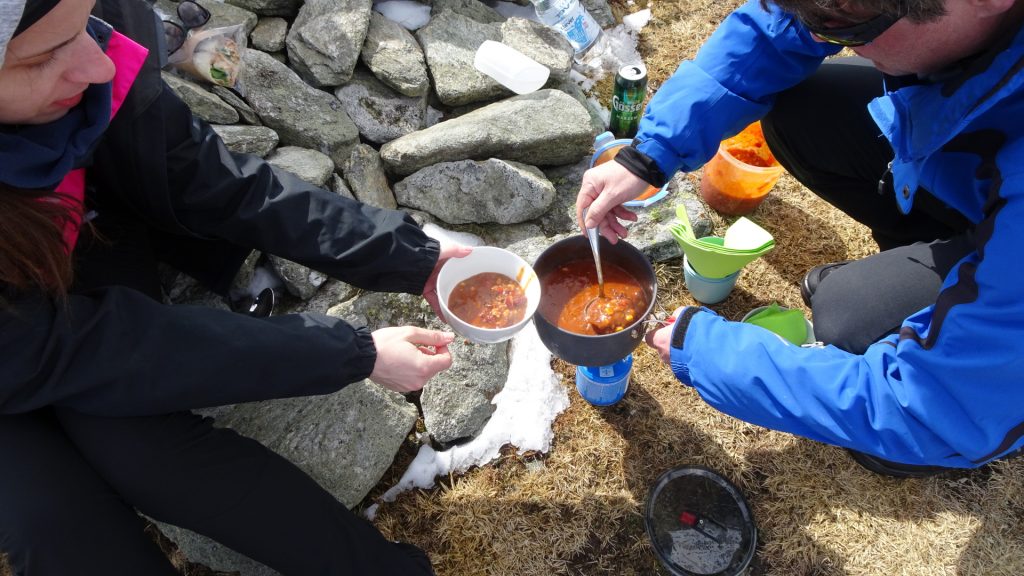
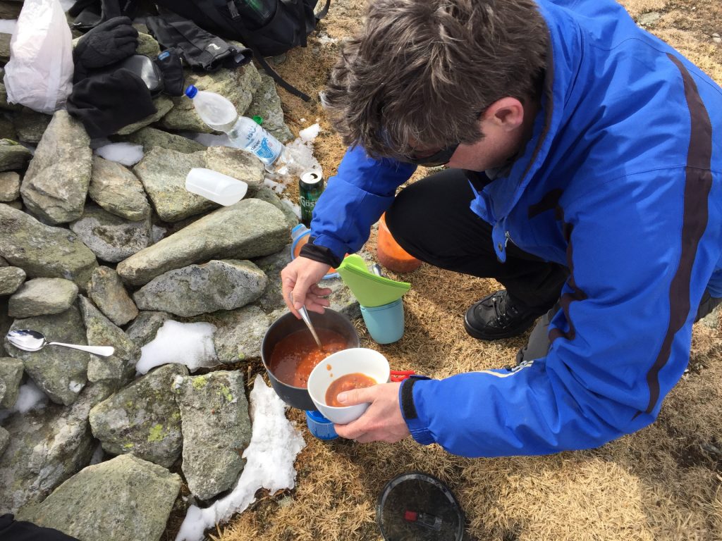
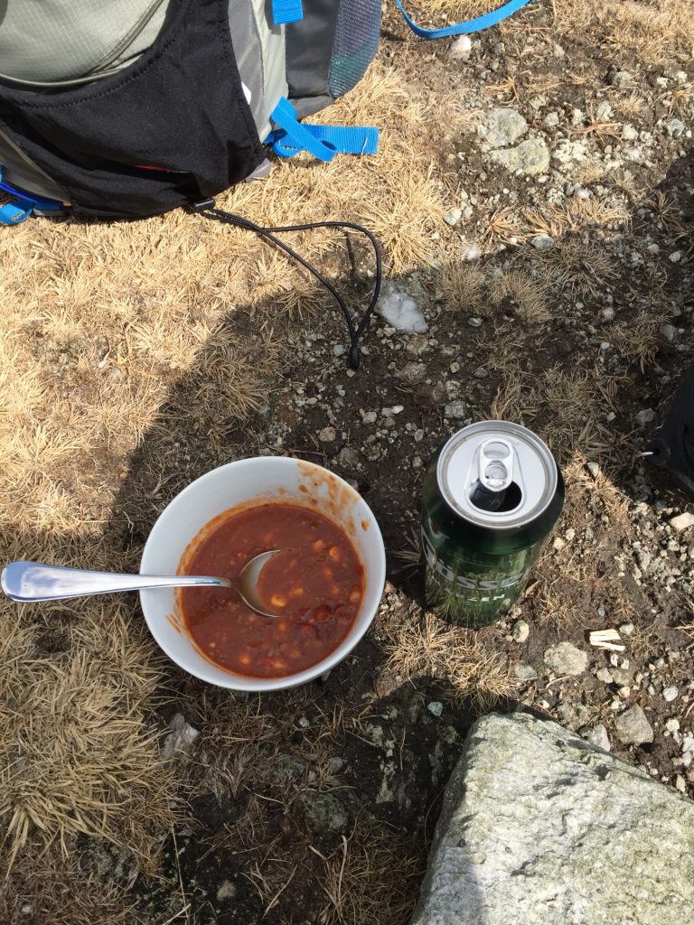
| 03:15 | Well deserved break at Umschussriegel. Best enjoyed with self-brought refreshments ! |
| 03:30 | Follow the trail back towards Hochwechsel. |
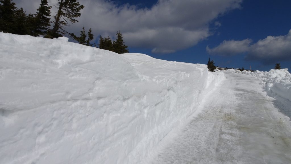
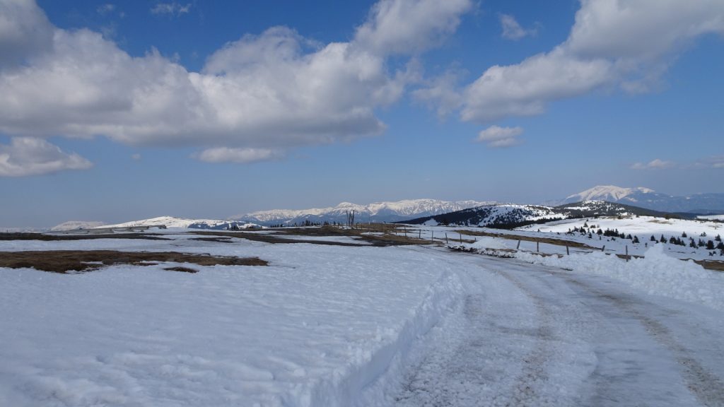
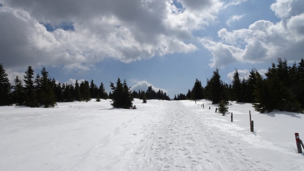
| 04:00 | Follow the toll street (Hochwechselweg) downwards. |
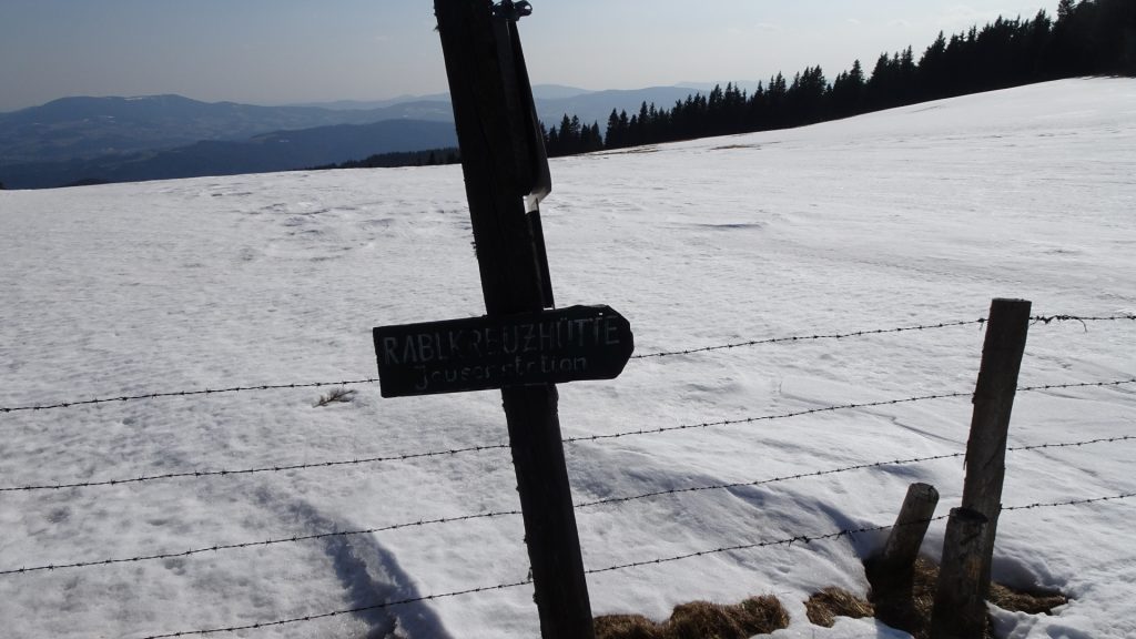
| 04:50 | At the crossing, turn right towards Rabelkreuz (see signpost). |
| 05:10 | Back at the parking Rabel-Kreuz-Hütte, end of the tour. |
At a glance
| Level | easy |
| Technique | |
| Shape / Fitness | |
| Experience | |
| Scenery | |
| Best time in the year | |
|
Jan
Feb
Mar
Apr
May
Jun
Jul
Aug
Sep
Oct
Nov
Dec
|
|
General Tour Data
| Area: | Hochwechsel, Lower Austria/Styria, Austria | |
| Distance: | 15km | |
| Ascent: | 537m (2h 15min) | |
| Descent: | 538m (1h 30min) | |
| Highest Pt: | 1742m | |
| Lowest Pt: | 1349m | |
| Duration: | 4h 30min (without breaks) 5h 10min (with breaks) |
|
| Stop/Rest: | Rabl-Kreuz-Hütte (1350m) Kaltwiesenhütte (1370m) Wetterkoglerhaus (1743m) |
|
| Equipment: | (Warm) Hiking shoes Shoe chains (“Grödeln”) in winter Backpack with standard hiking equipment Snacks and water Sun & Weather protection Camera |
| Download GPX | ||
| O | Tour at outdooractive.com |





Leave a Reply