
Climb the Messnerin via the Kamplsteig and the Peter Meissl Steig and enjoy the impressive Hochschwab winter scenery
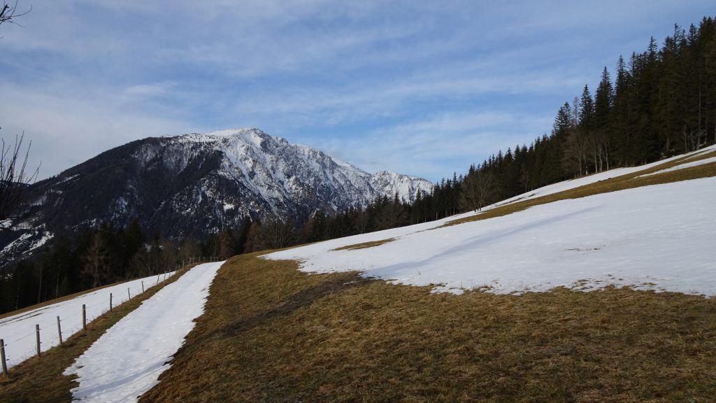
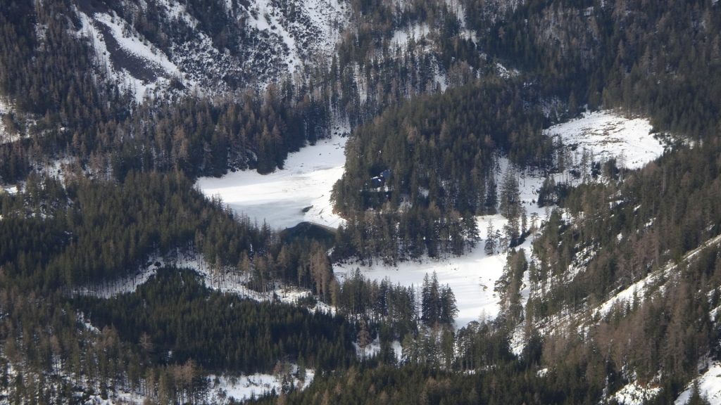
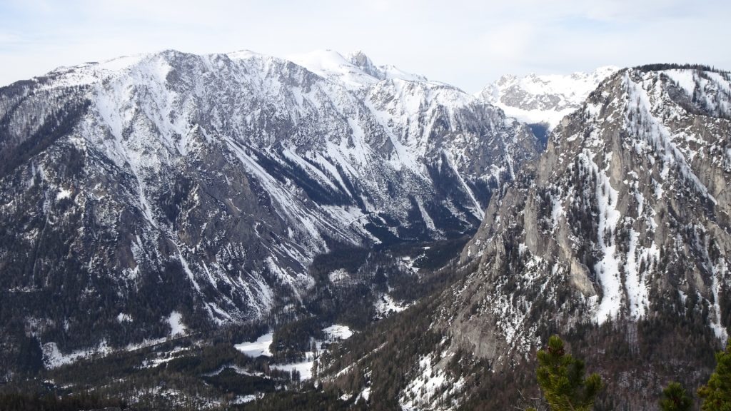
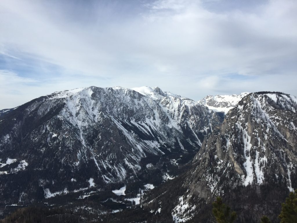
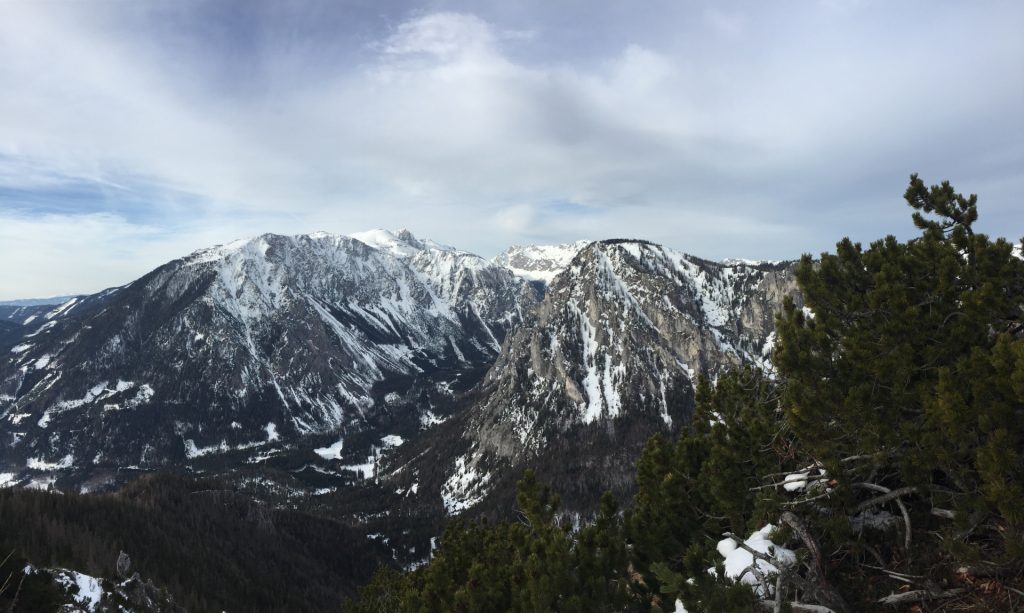
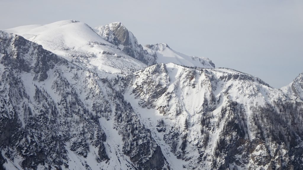
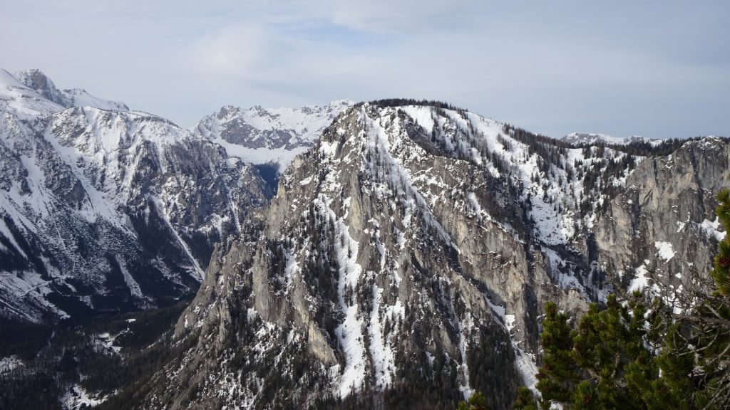
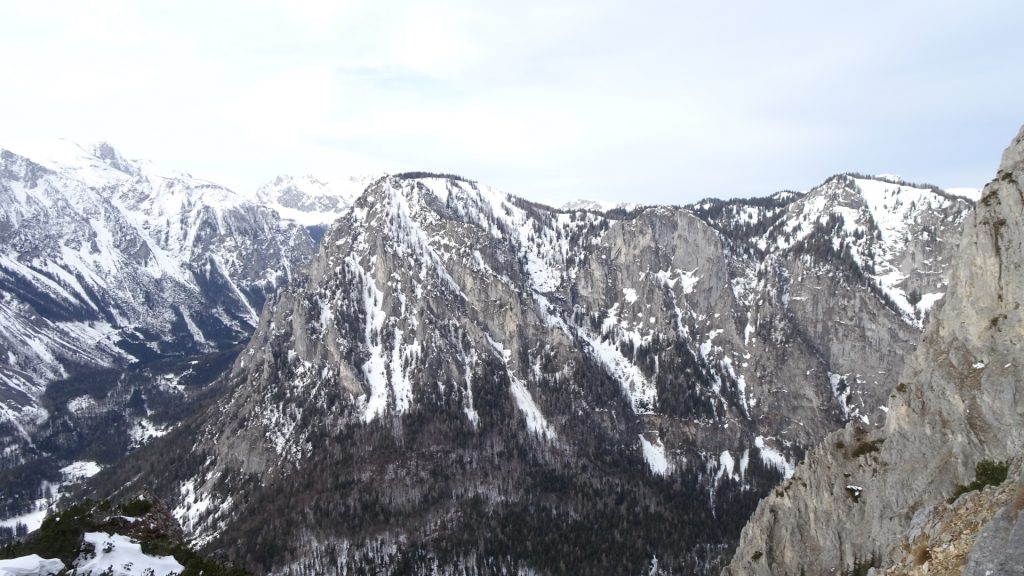
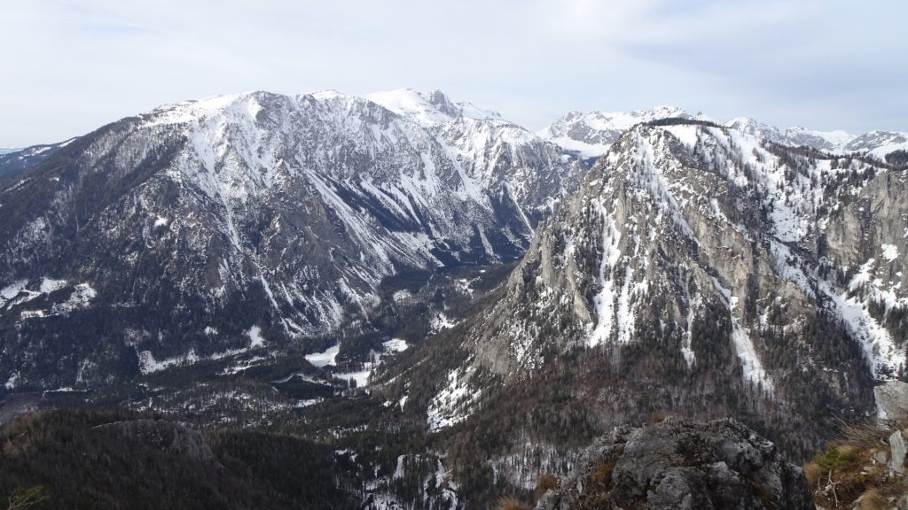
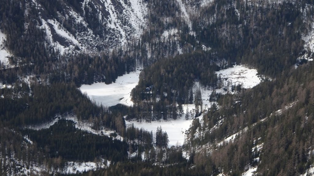
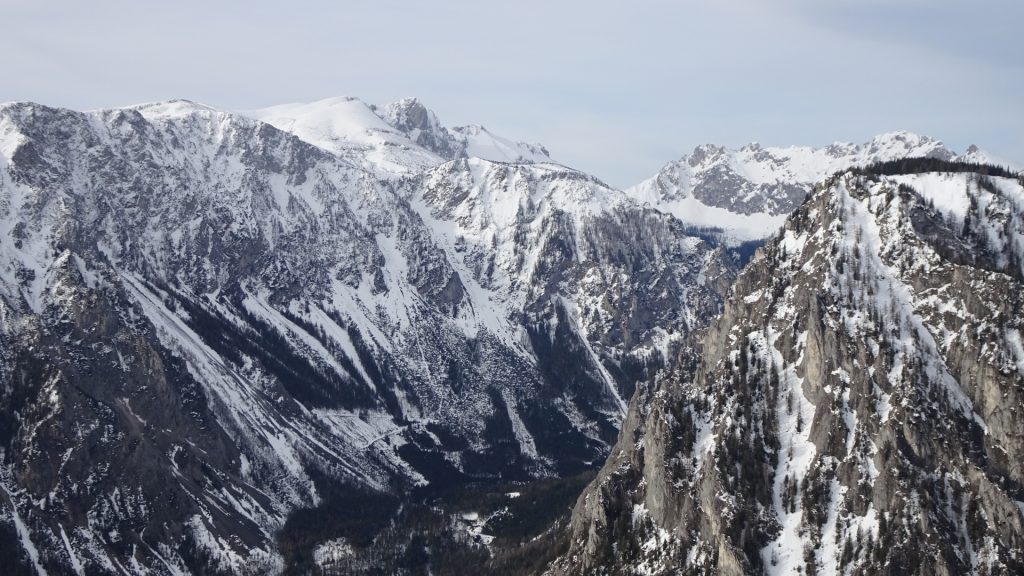
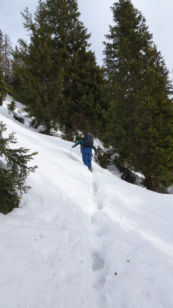
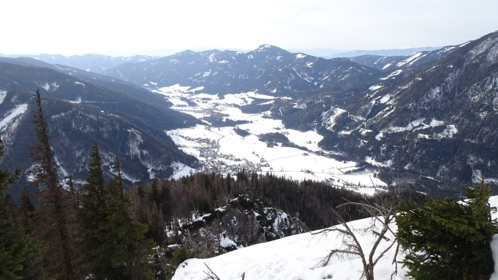
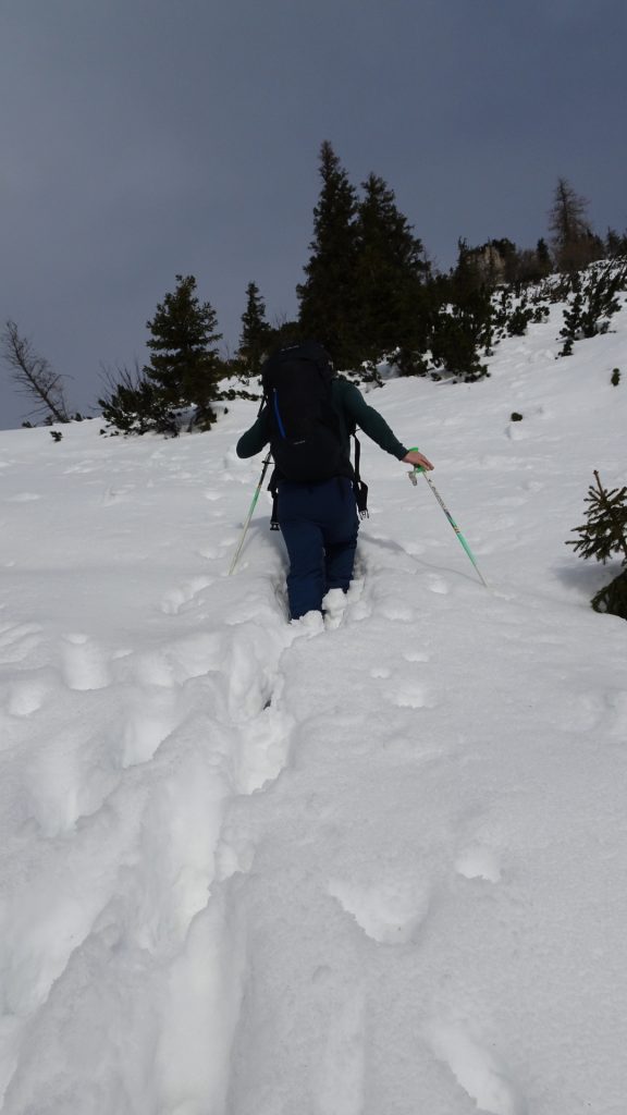
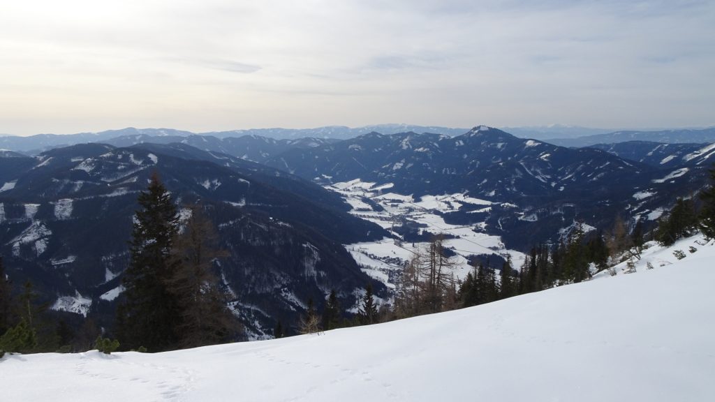
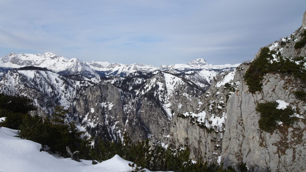
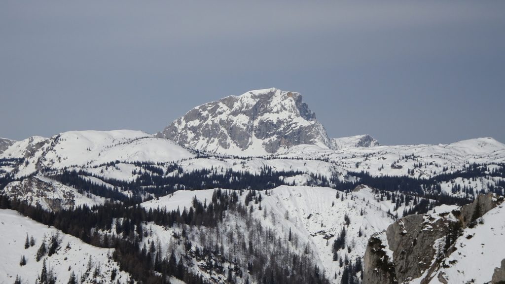
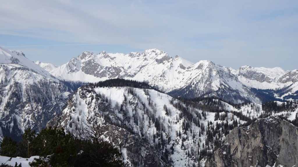
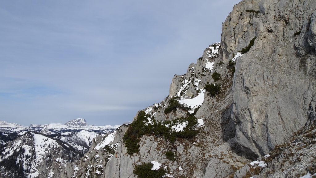
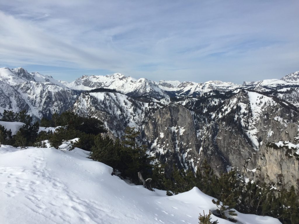
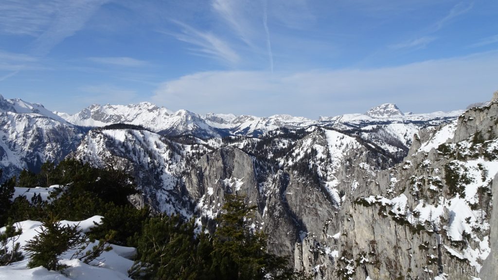
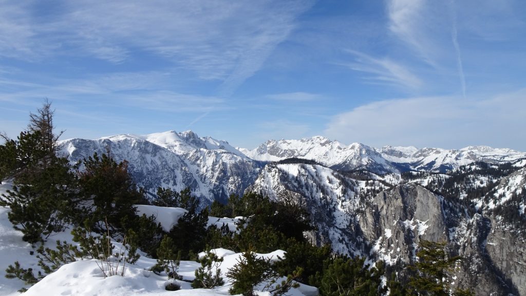
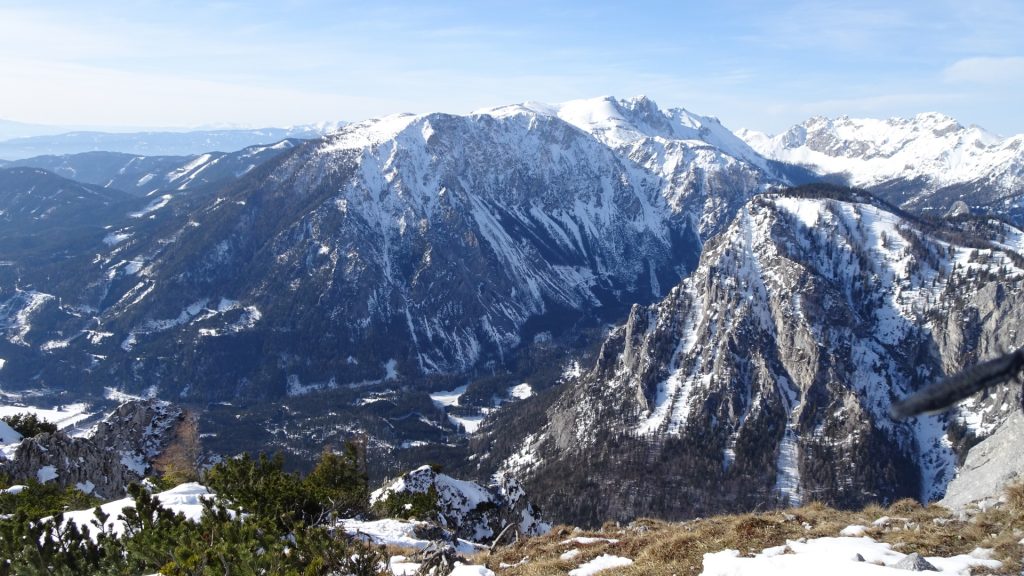
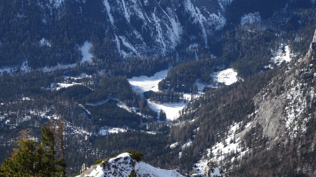
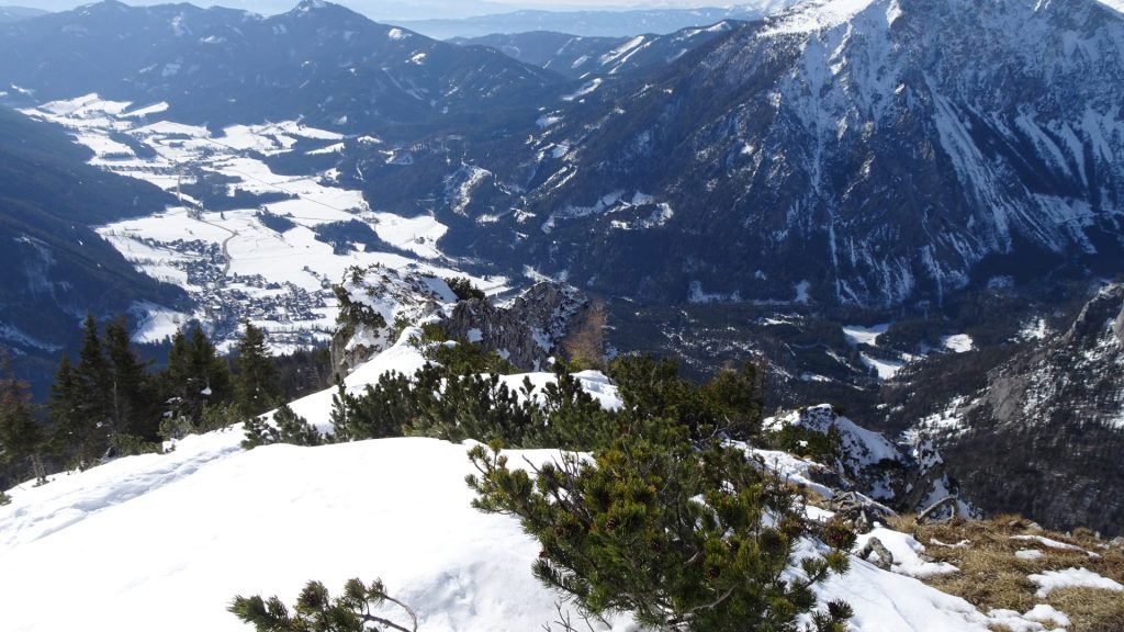
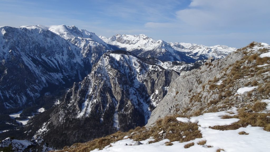
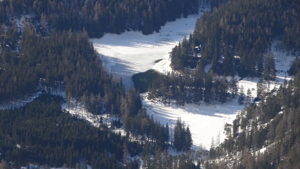
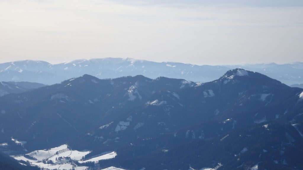
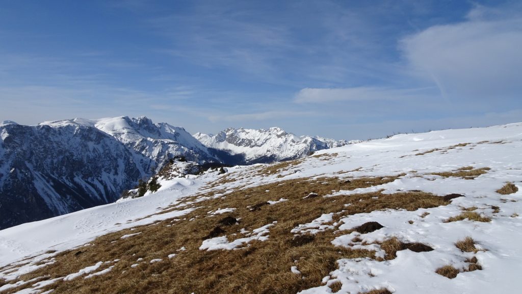
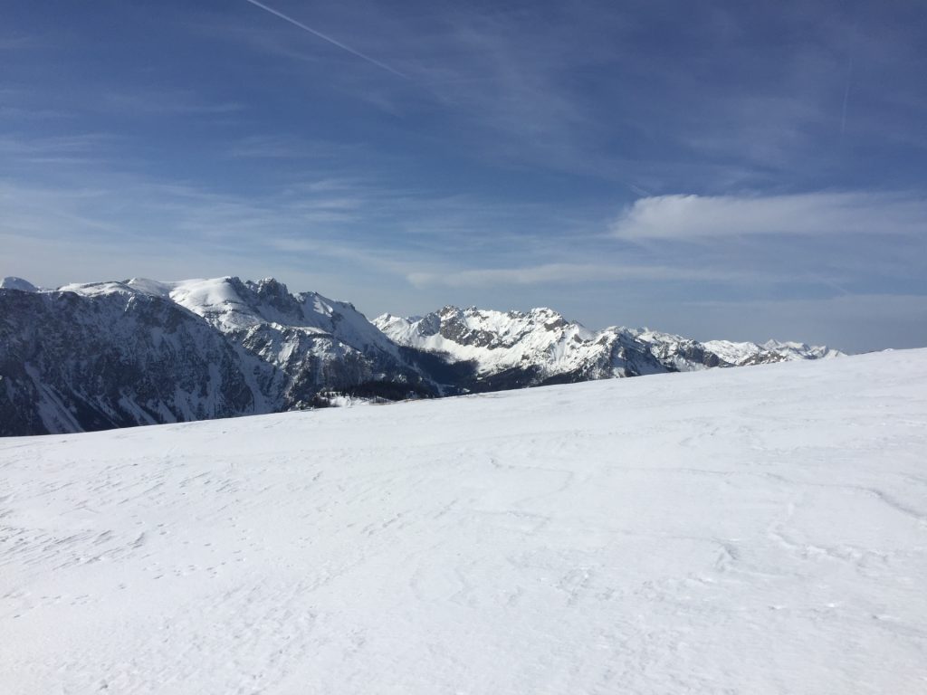
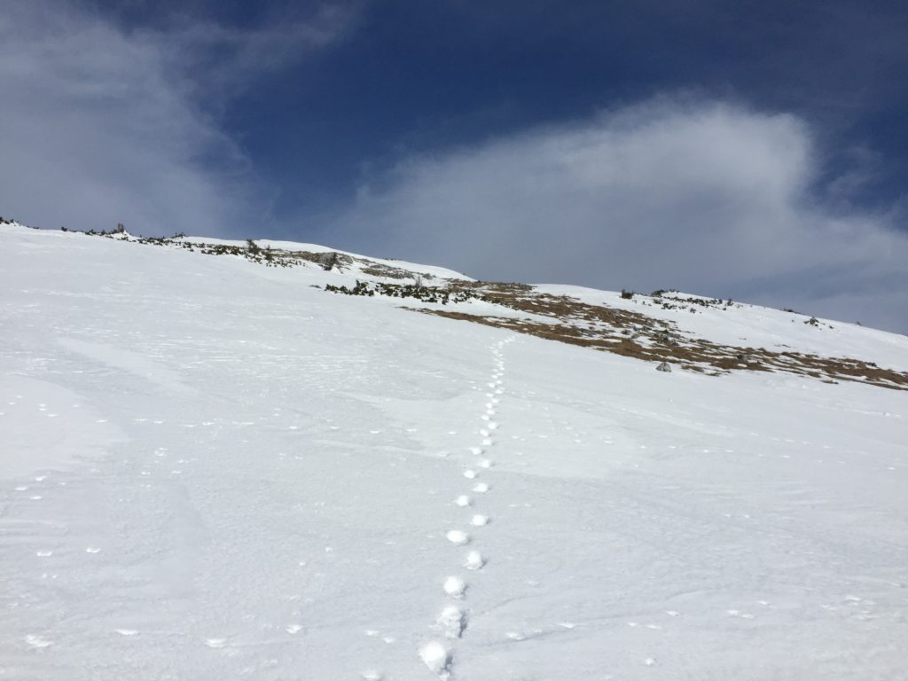
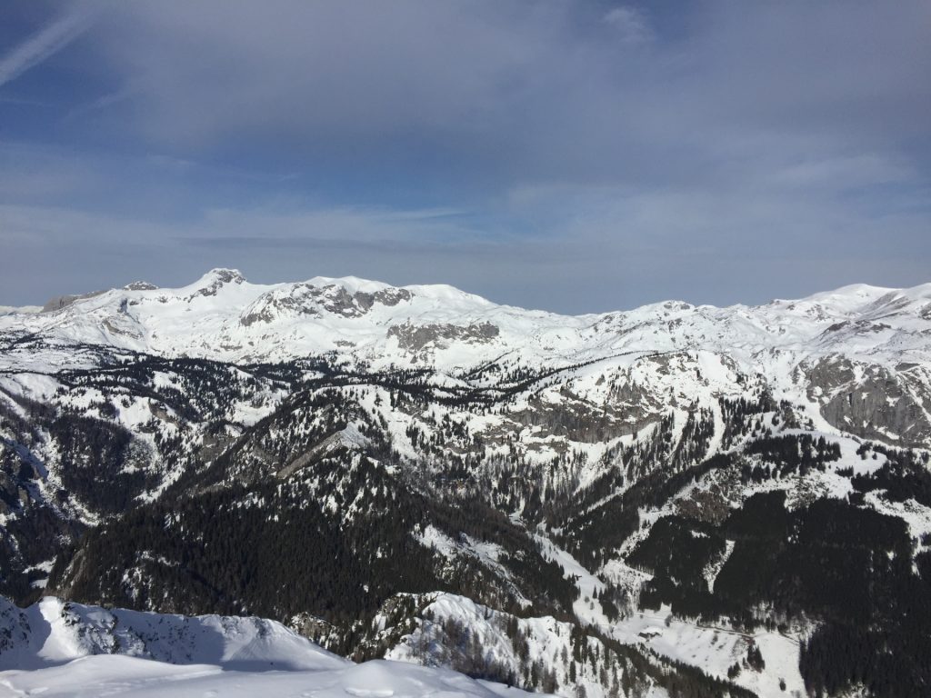
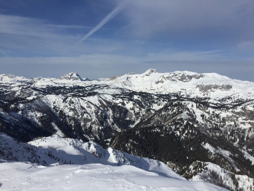
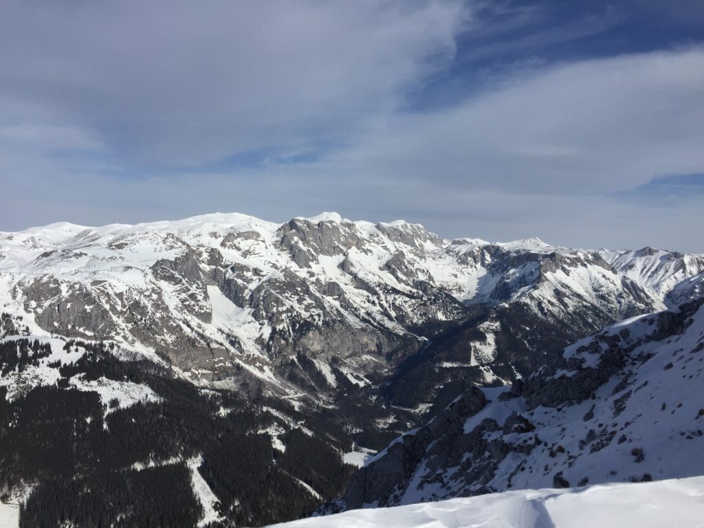
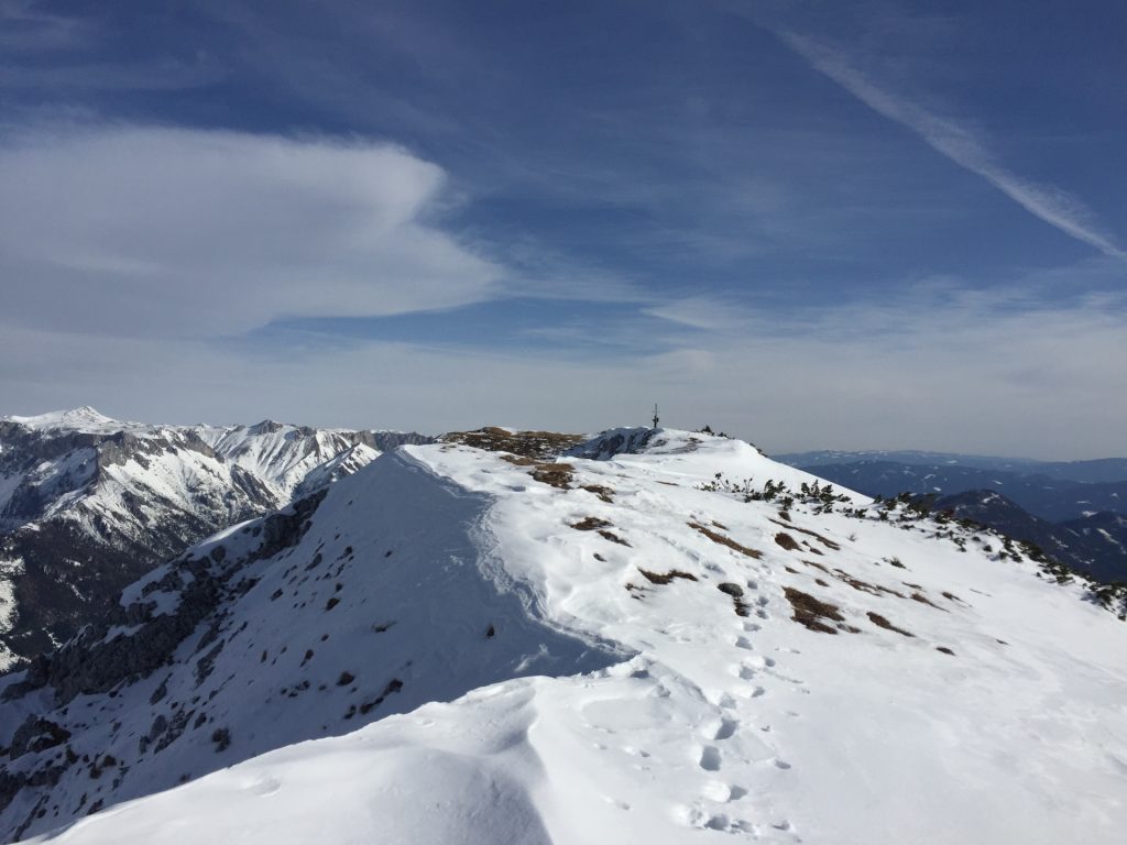
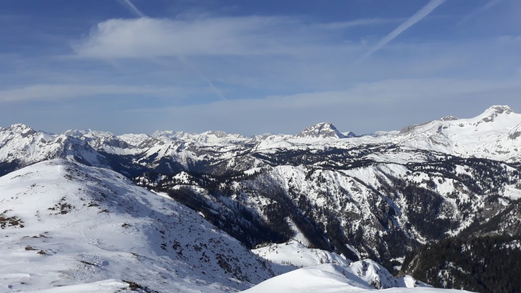
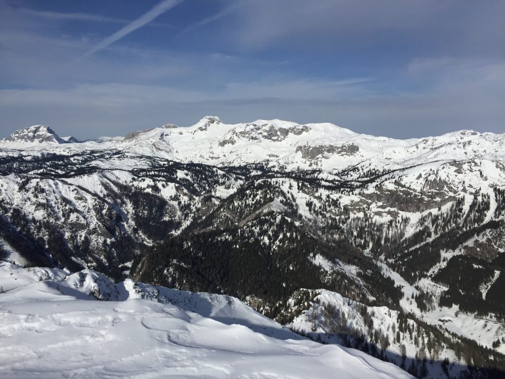
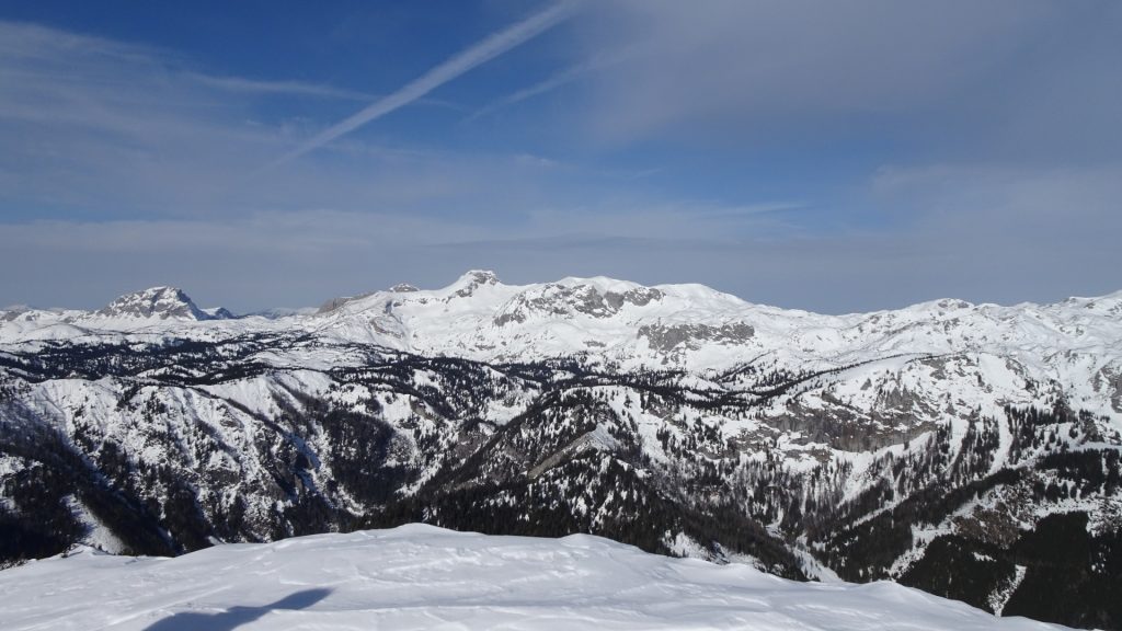
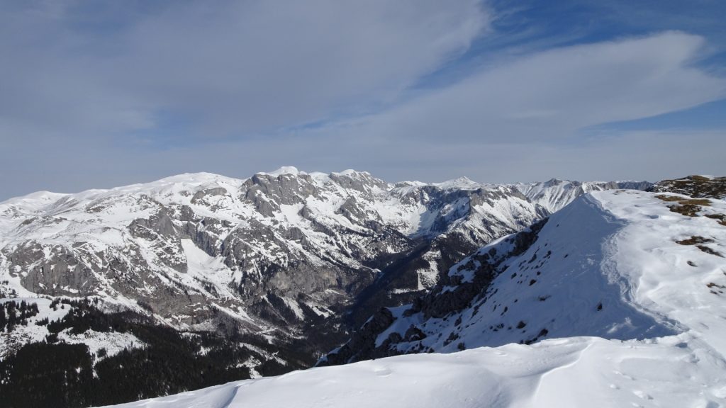
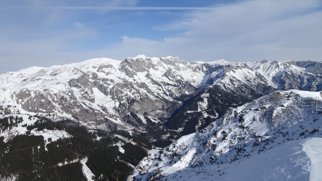
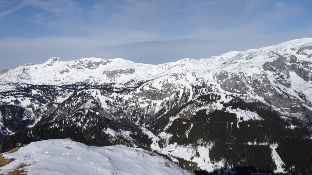
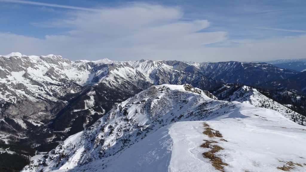
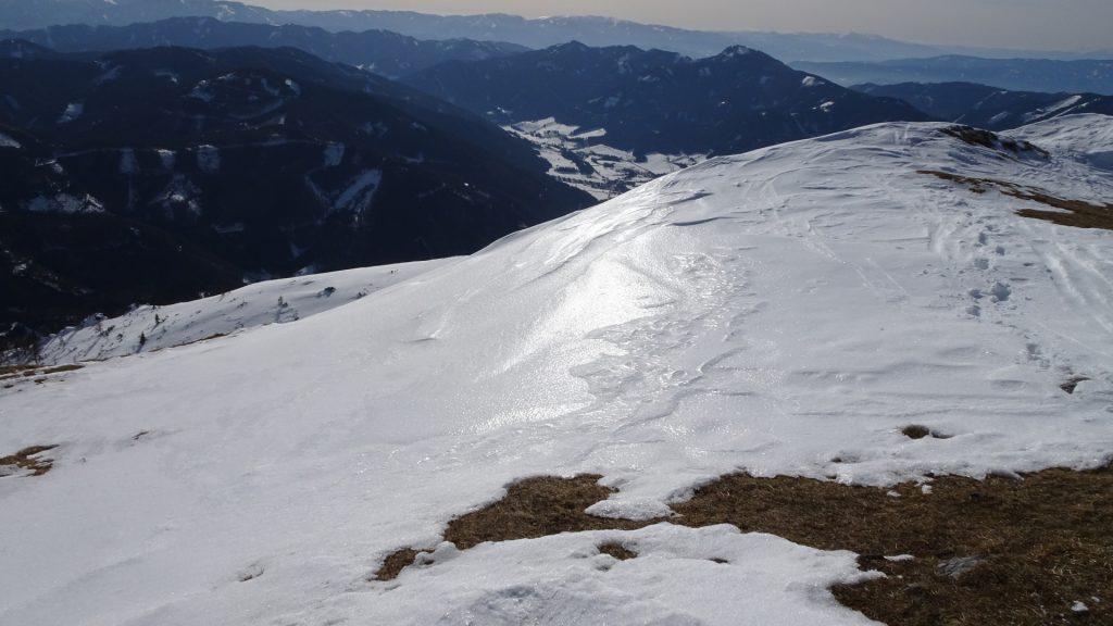
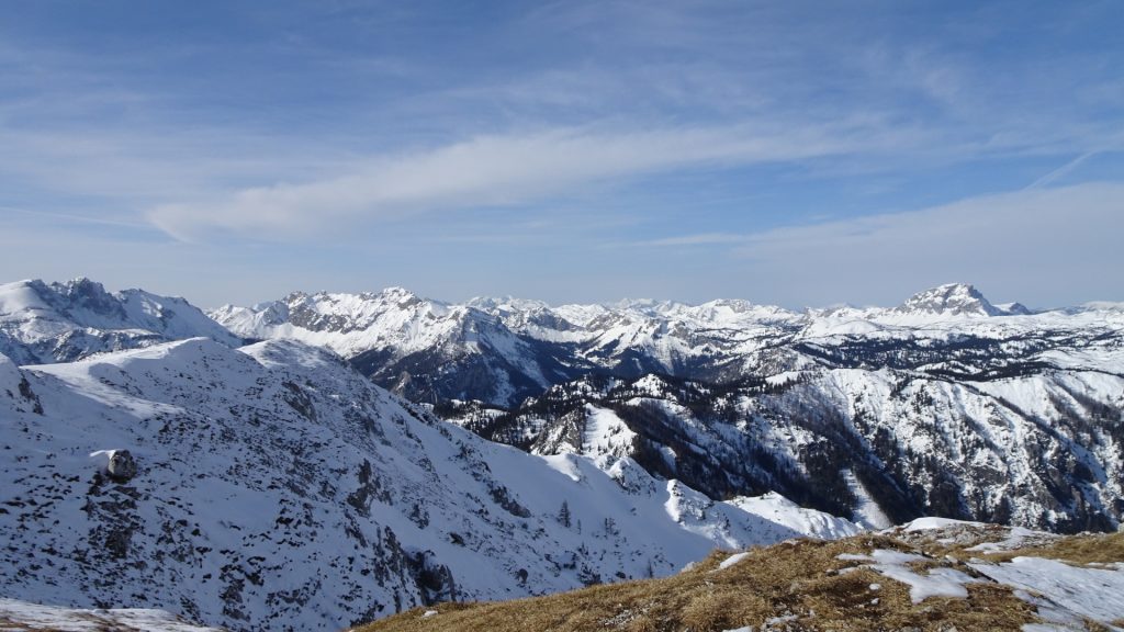
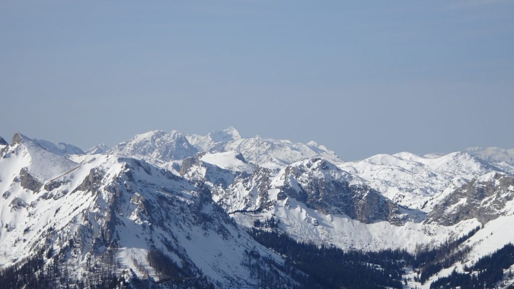
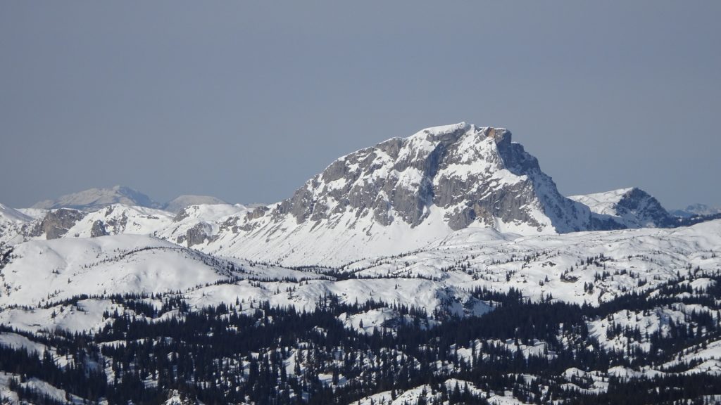
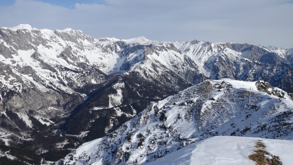
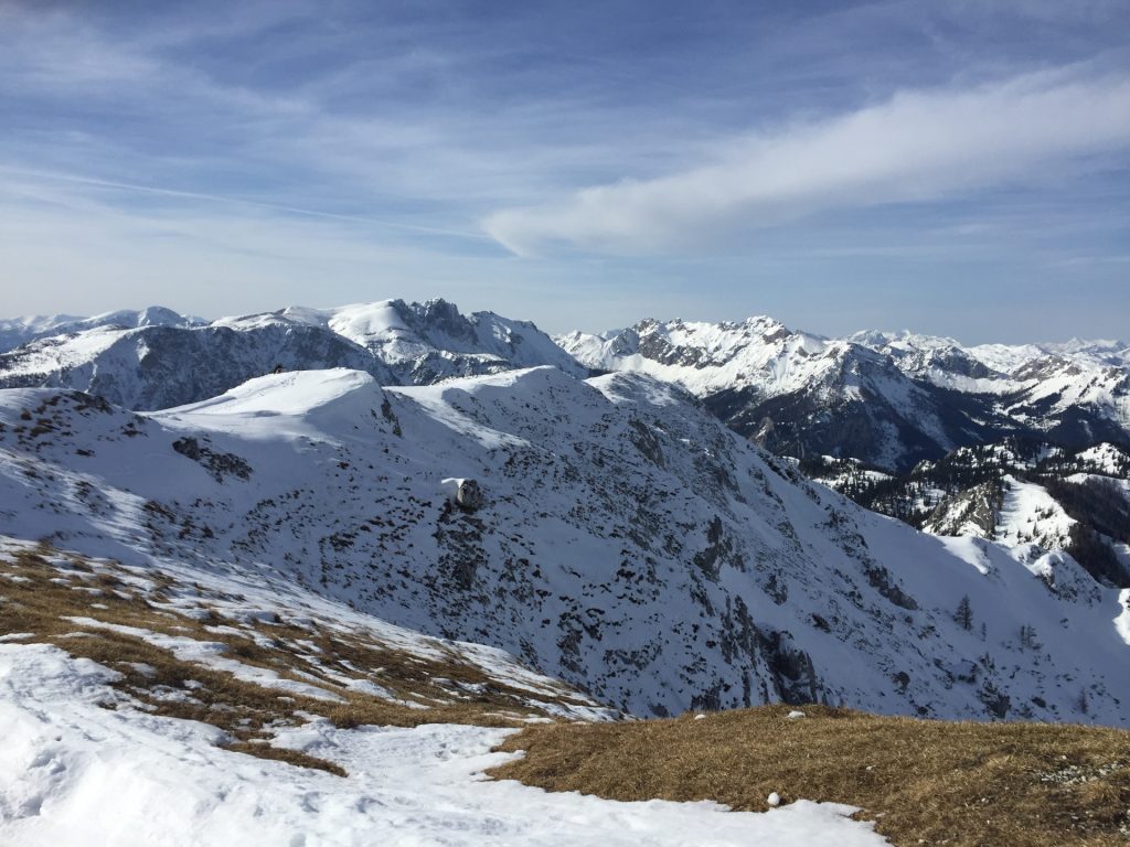
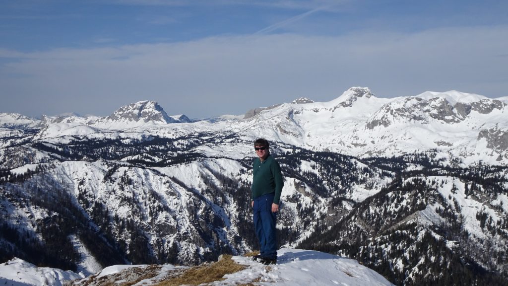
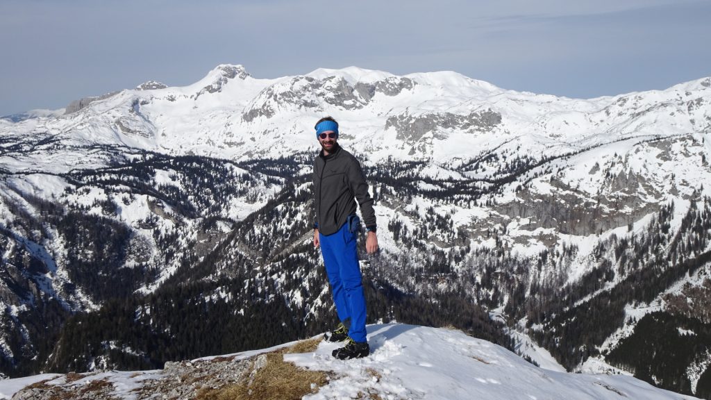
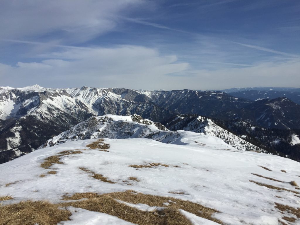
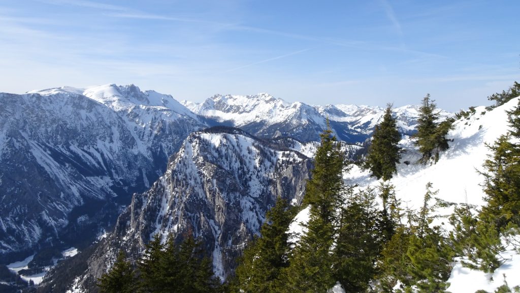
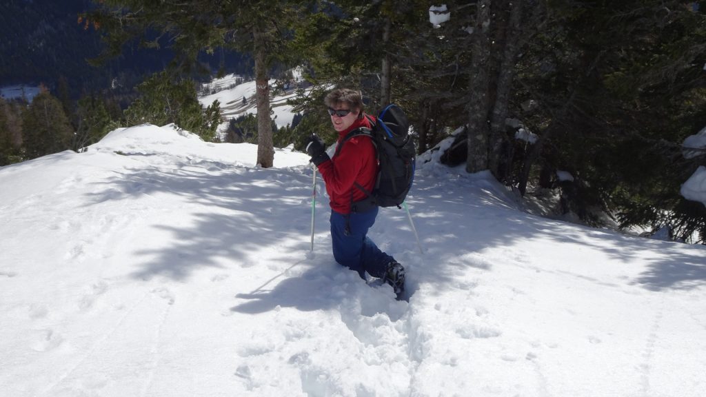
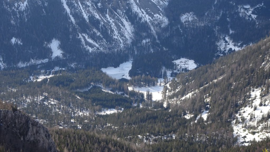
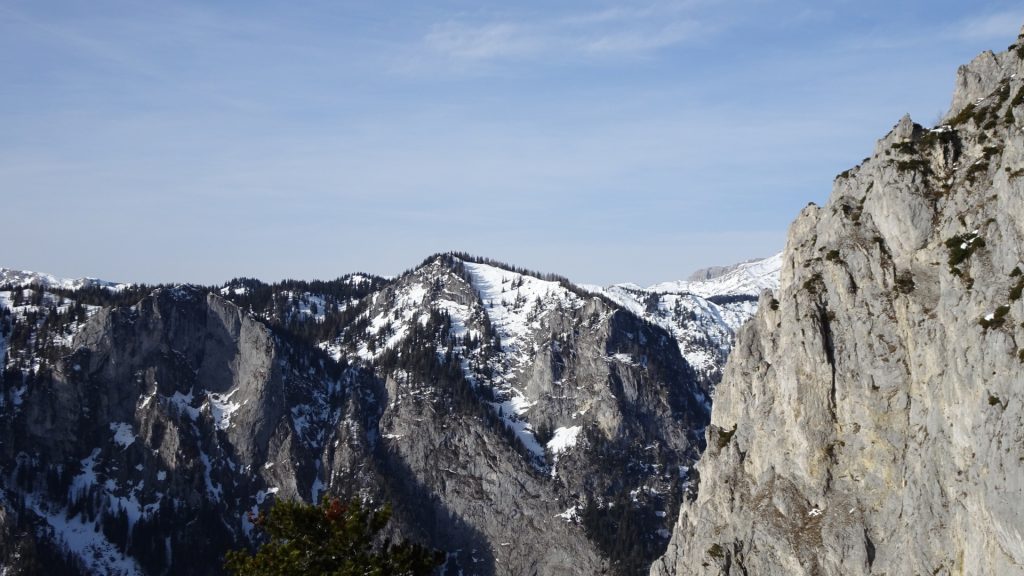
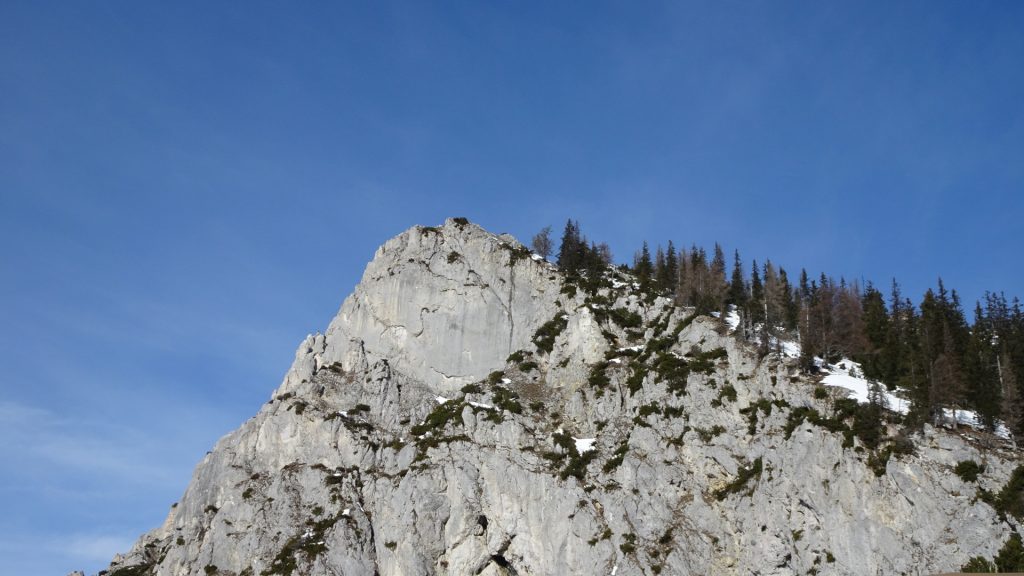
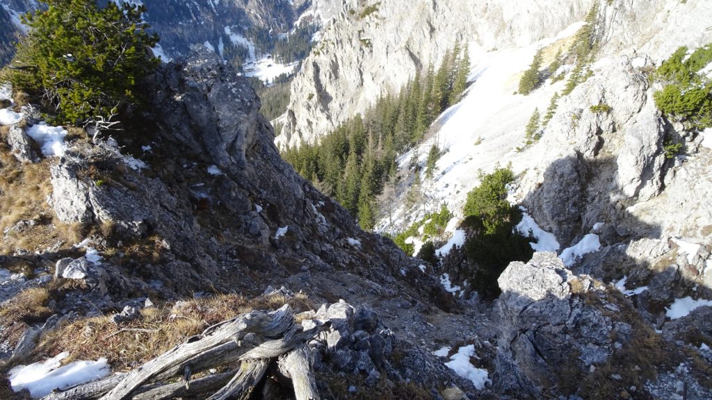
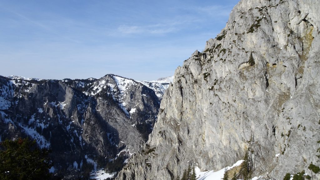
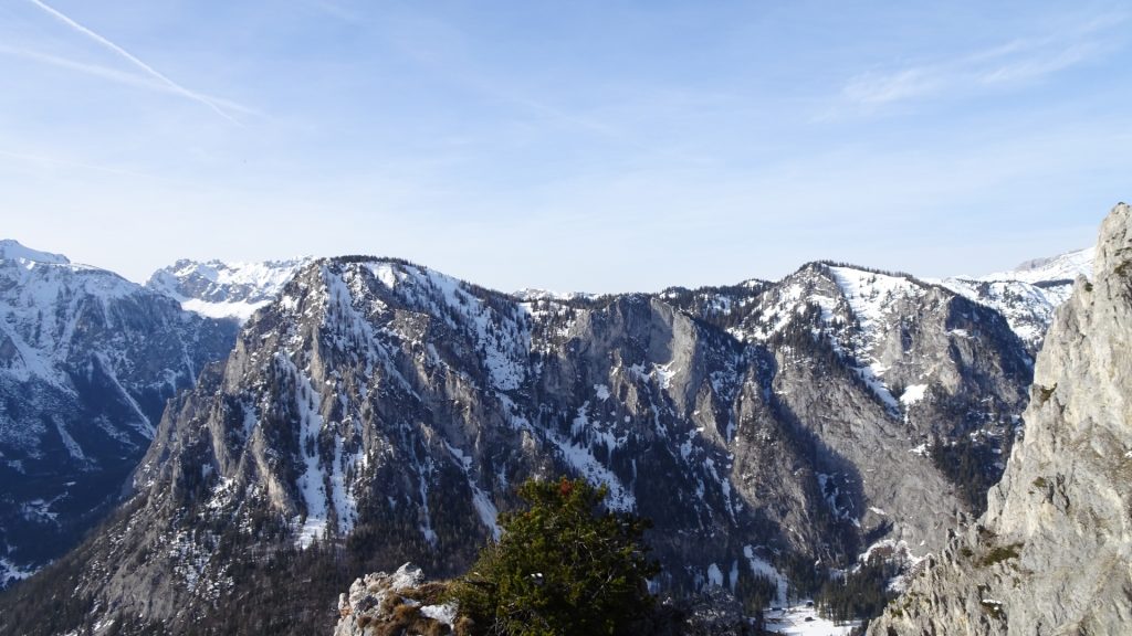
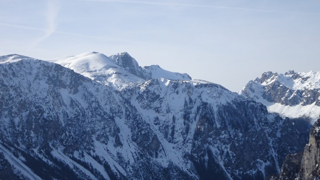
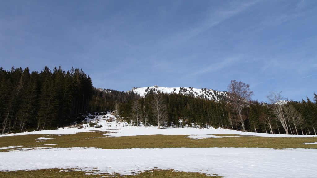
This tour starts at the parking Marienklamm (GPS: 47.542130, 15.091039) and first leads through the Marienklamm and then follows shortly the Kamplsteig. The tour then turns right at the Ambrosi Bründl and follows the steeper trail upwards to the Messnerin. On the way up, the trail goes along the ridge and allows impressive views towards the Grüner See lake, towards the Pribitz, the Brandstein, the Ebenstein and at the top towards the entire Hochschwab area. At the saddle (begin of the Peter Meissl Steig) the trail gets tricky during winter but can be bypassed by an easy climbing directly at the ridge.
The descent is done the same way as the ascent.
| 00:00* | Start at the parking lot Marienklamm (GPS: 47.542130, 15.091039) and follow the trail through the Marienklamm gorge. |
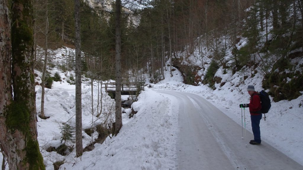
| 00:15 | At the end of Marienklamm, turn left and follow the road upwards towards Kamplsteig (at the crossings, stay right). |
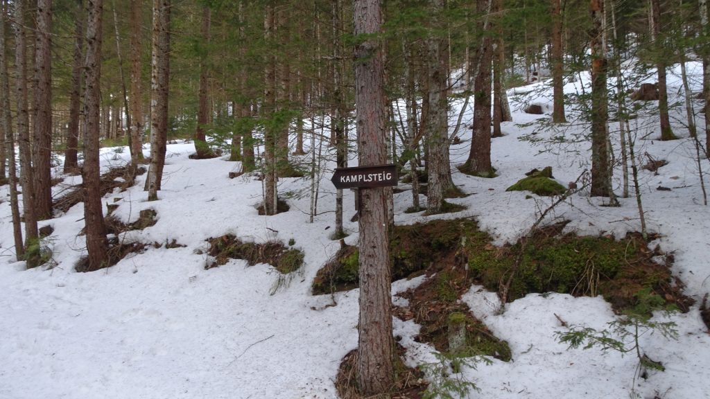
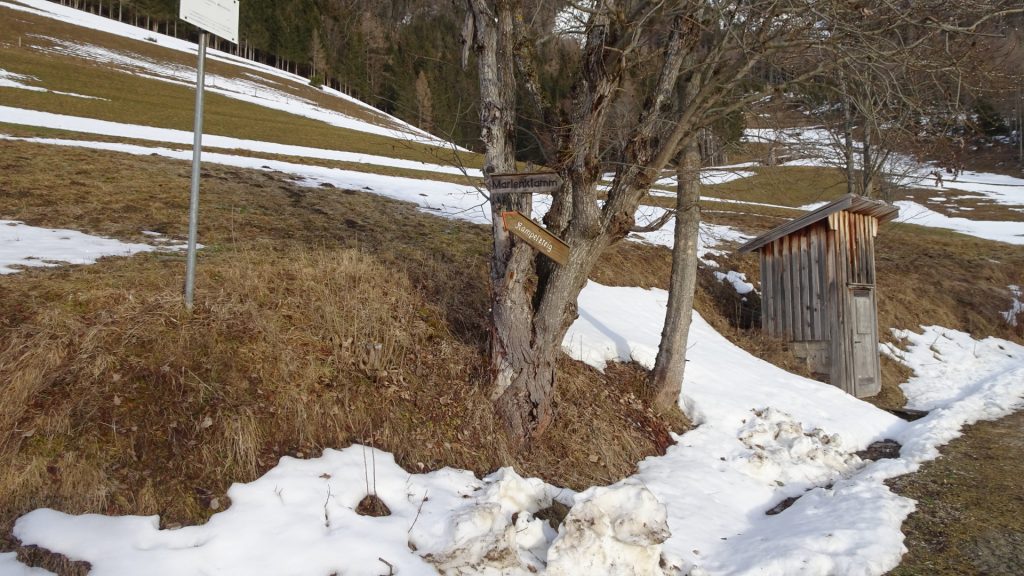
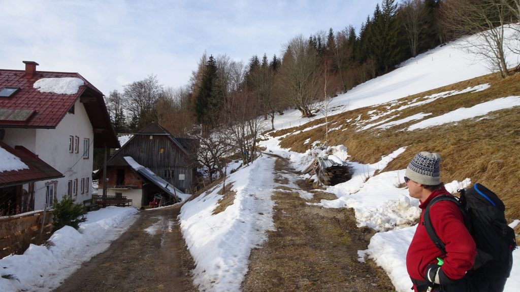
| 00:30 | Pass by the Gasthof Lahner on its right handside but take the trail towards Kamplsteig (follow sign-posts). |
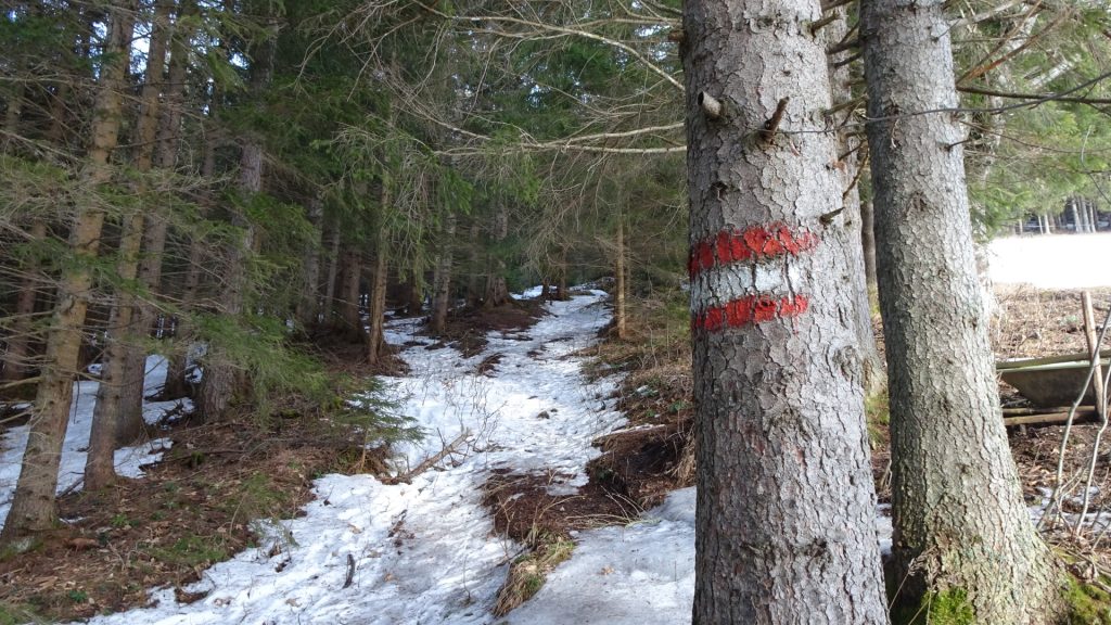
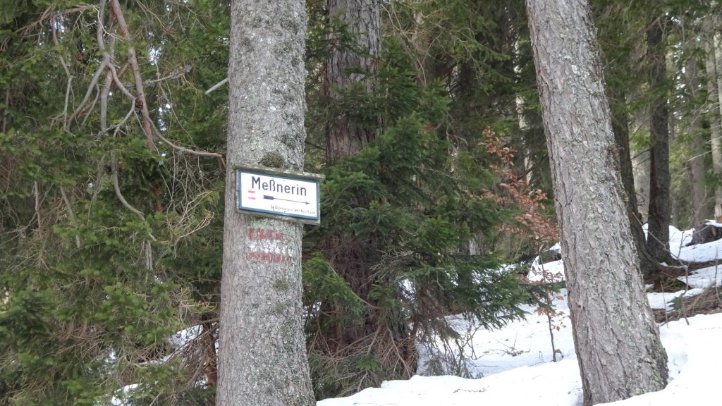
| 00:45 | At the crossing (before the Ambrosi Bründl), turn right and follow the trail marked red-white-red up to Messnerin (see signpost). |
| 00:50 | Cross the street and stay on the hiking trail up to Messnerin. |
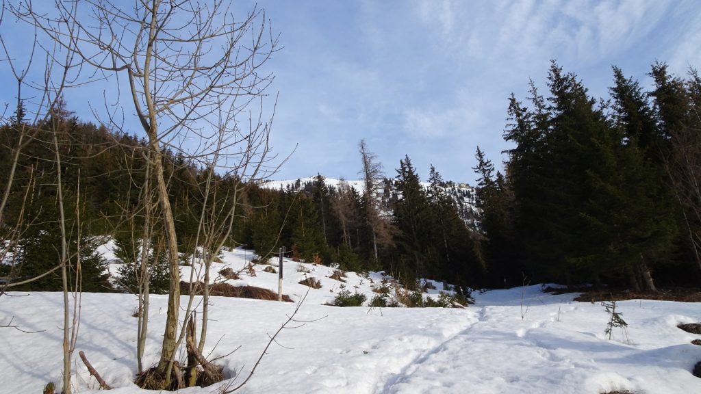
| 01:15 | Cross again the street (4x) and stay on the hiking trail up to Messerin (see signpost). |
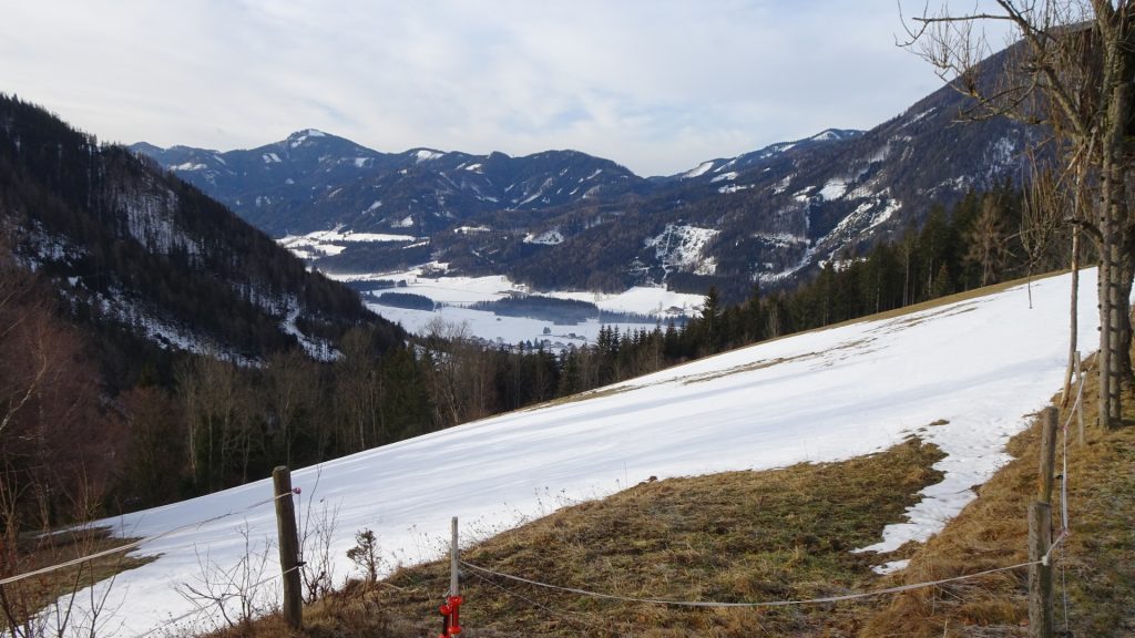
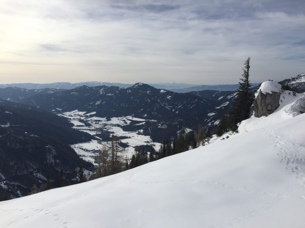
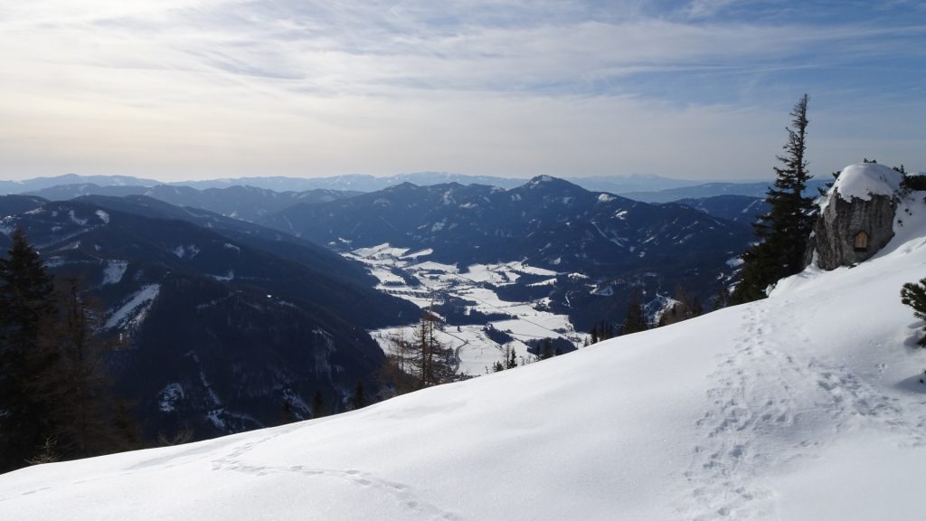
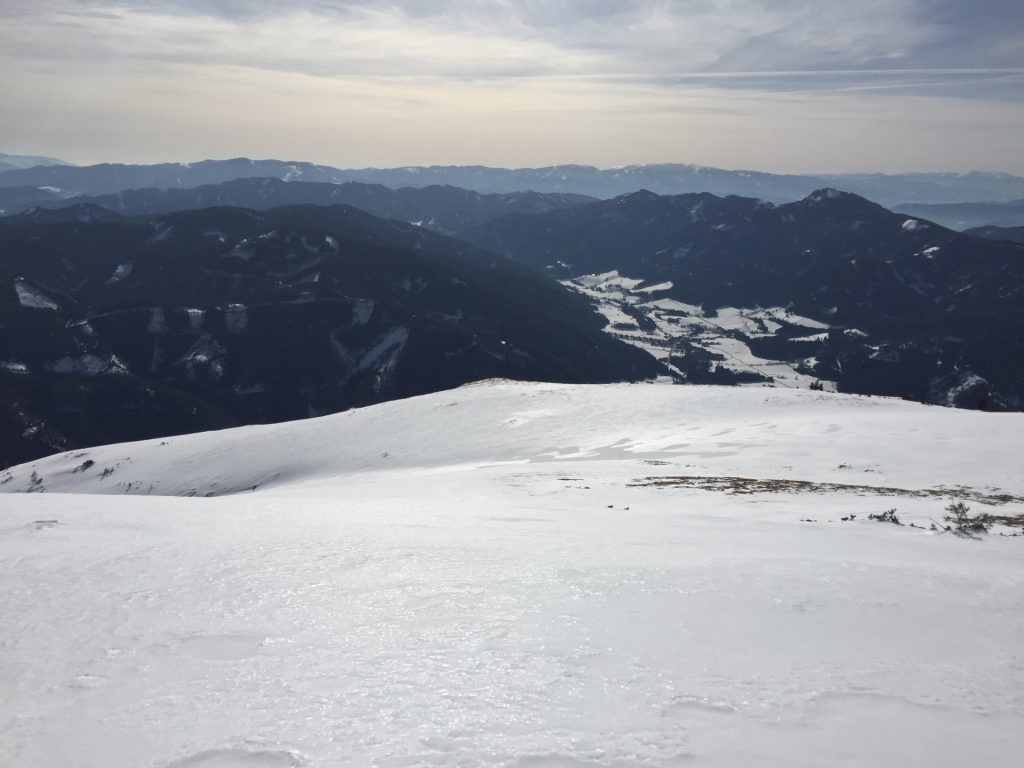
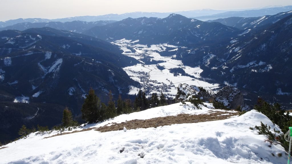
| 01:35 | Turn left and follow the small trail up to the ridge to enjoy the impressive view towards Grüner See. Continue following the trail upwards. |
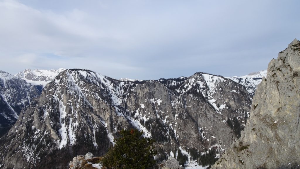
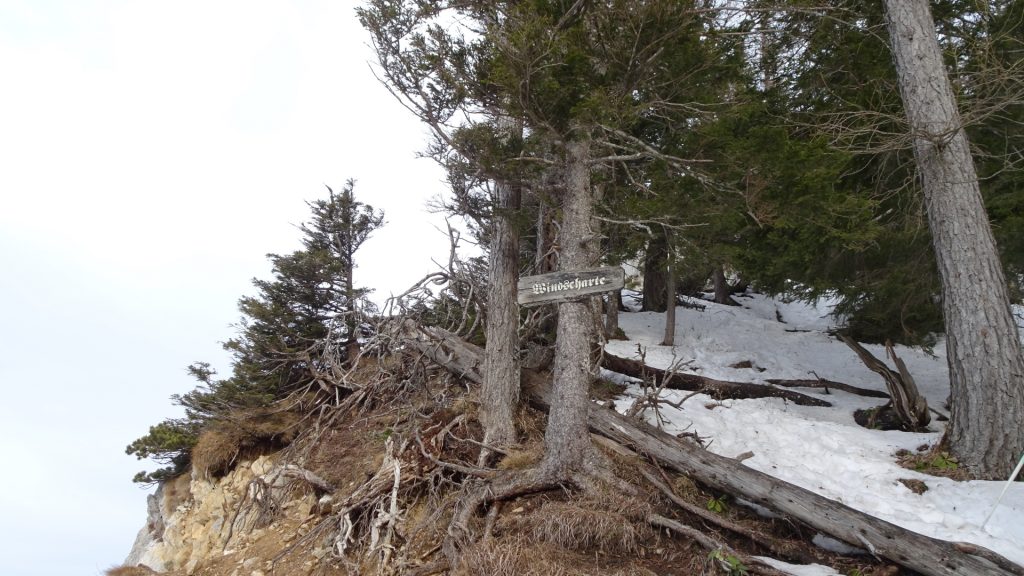
| 01:40 | Enjoy the impressive view at the Windscharte and follow the trail upwards. |
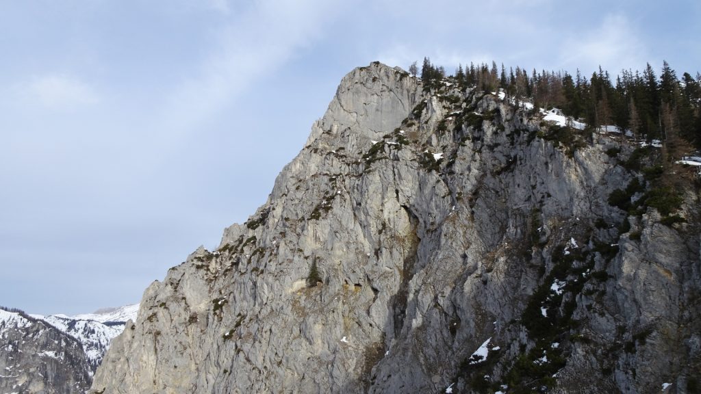
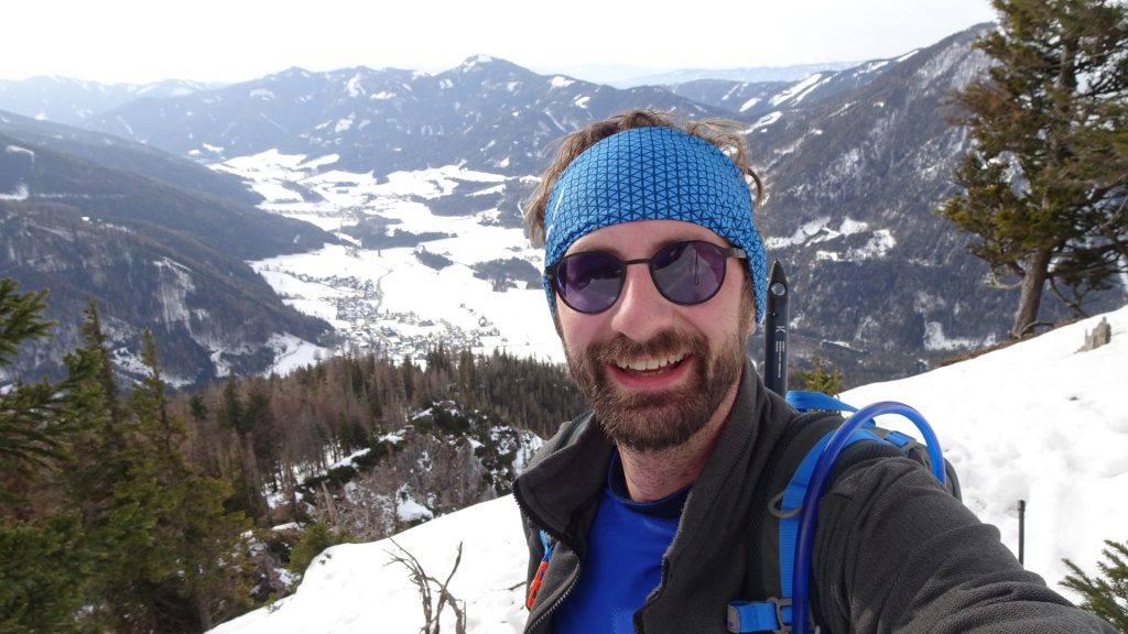
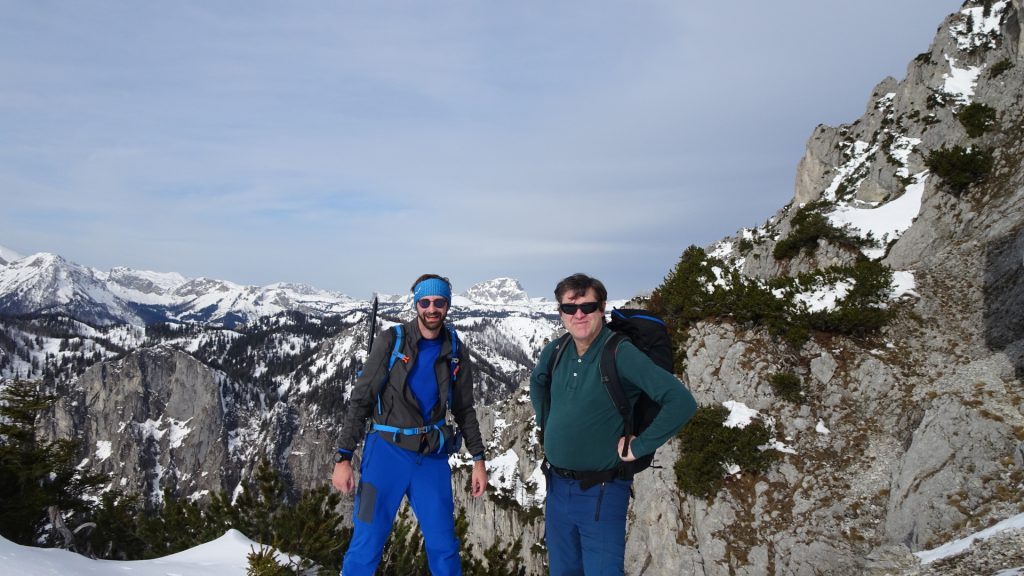
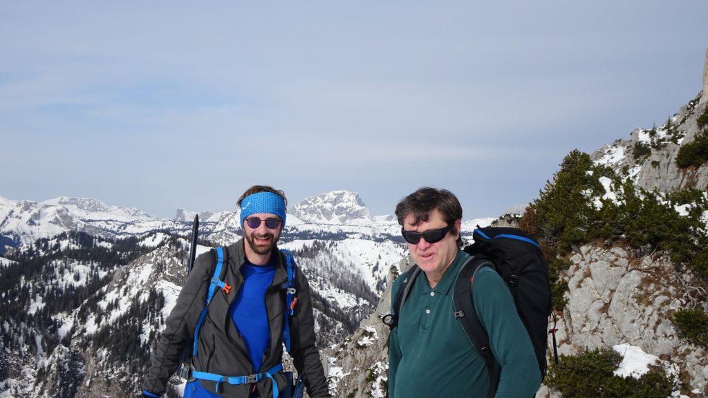
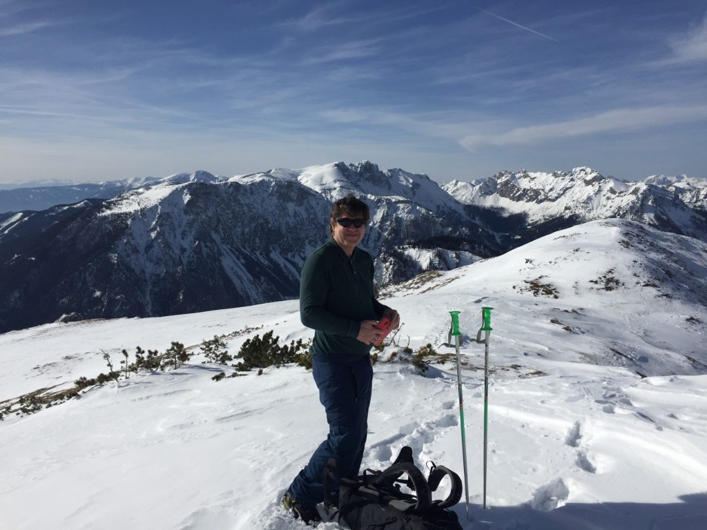
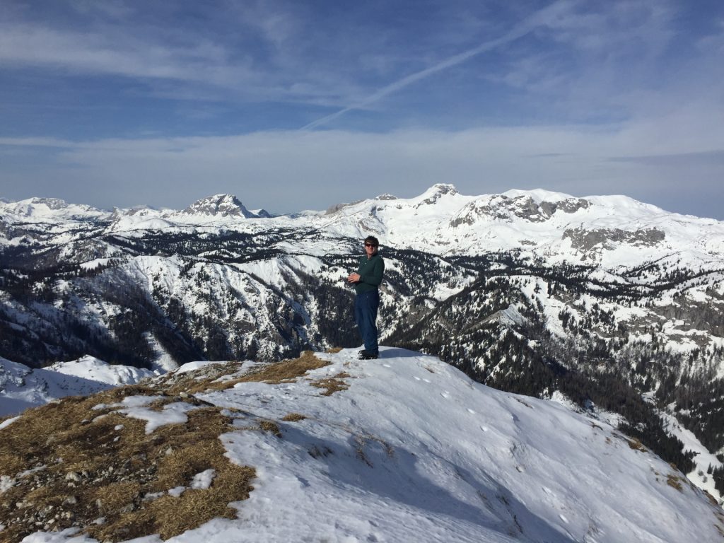
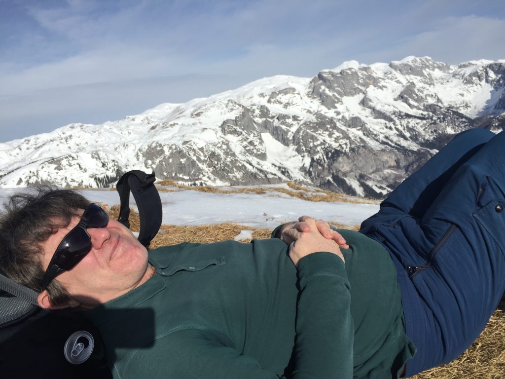
| 02:10 | Short break at the saddle. Enjoy the impressive view from the cliff (best enjoyed with a self-brought refreshment ). |
| 02:30 | Continue on the Peter Meissl Steig trail upwards towards the Messnerin plateau. |
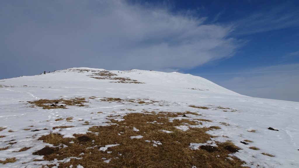
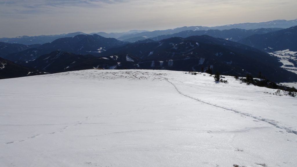
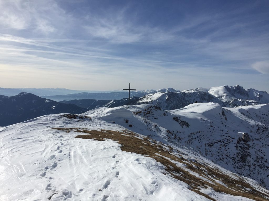
| 02:45 | Cross the Messnerin plateau heading towards the summit cross of Messnerin. |
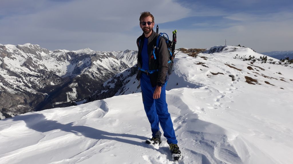
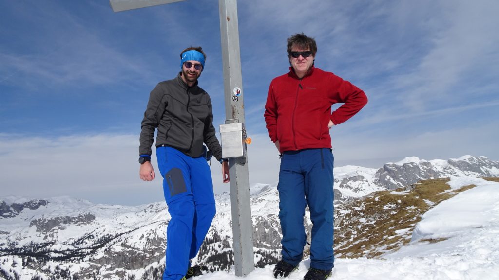
| 03:00 | Enjoy the amazing view at the Messnerin. Perfect place for some extended break best enjoyed with self-brought food and “Gipfelbier” ( ). |
| 04:00 | Descend the same way as the ascent. |
| 05:45 | Back at the parking, end of the tour. |
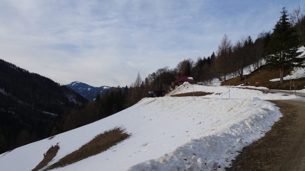
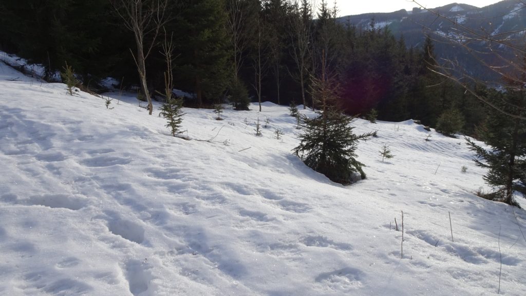
* The snow conditions did not allow us to go through the Marienklamm, we had to bypass it by following the road.
At a glance
| Level | moderate |
| Technique | |
| Shape / Fitness | |
| Experience | |
| Scenery | |
| Best time in the year | |
|
Jan
Feb
Mar
Apr
May
Jun
Jul
Aug
Sep
Oct
Nov
Dec
|
|
General Tour Data
| Area: | Hochschwabgruppe, Styria, Austria | |
| Distance: | 10km | |
| Ascent: | 1377m (2h 40min) | |
| Descent: | 1378m (1h 50min) | |
| Highest Pt: | 1835m | |
| Lowest Pt: | 865m | |
| Duration: | 4h 45min (without breaks) 5h 45min (with breaks) |
|
| Stop/Rest: | NONE! | |
| Equipment: | Waterproof and warm Hiking shoes with good grip (on rock) Crampons (in winter) Backpack with standard hiking equipment Food and plenty of water 2x “Gipfelbier” () Sun & Weather protection Camera |
| Download GPX | ||
| O | Tour at outdooractive.com |





Leave a Reply