
Climb Hochlantsch via the Franz-Scheikl Via Ferrata
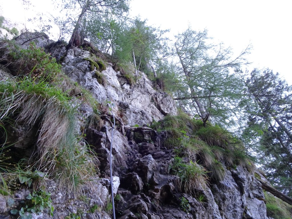
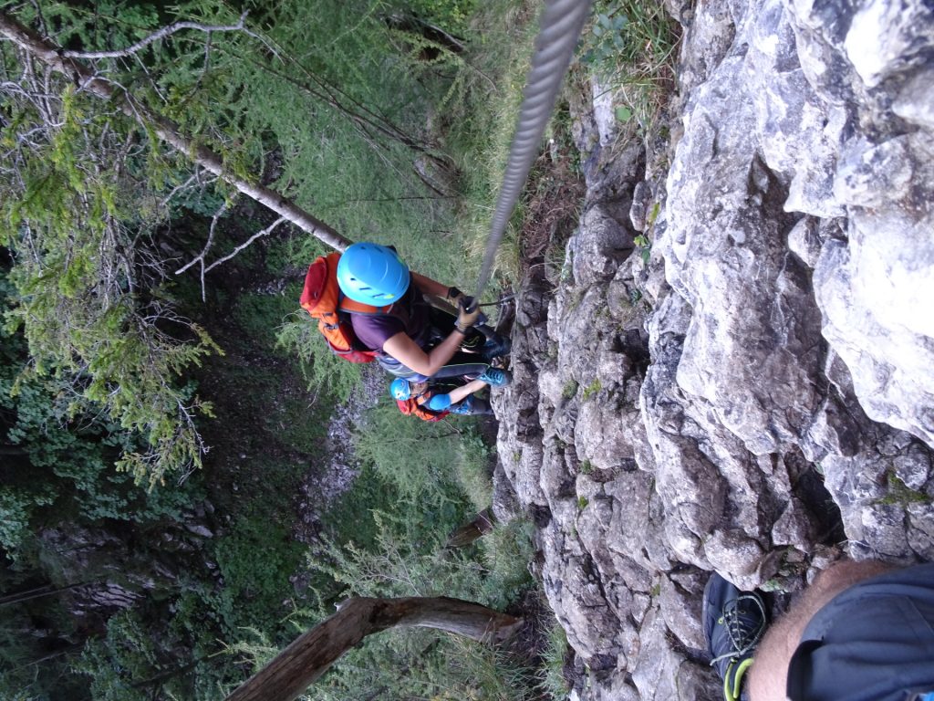
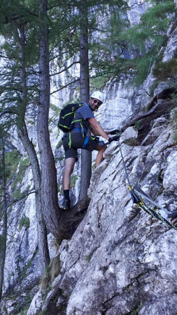
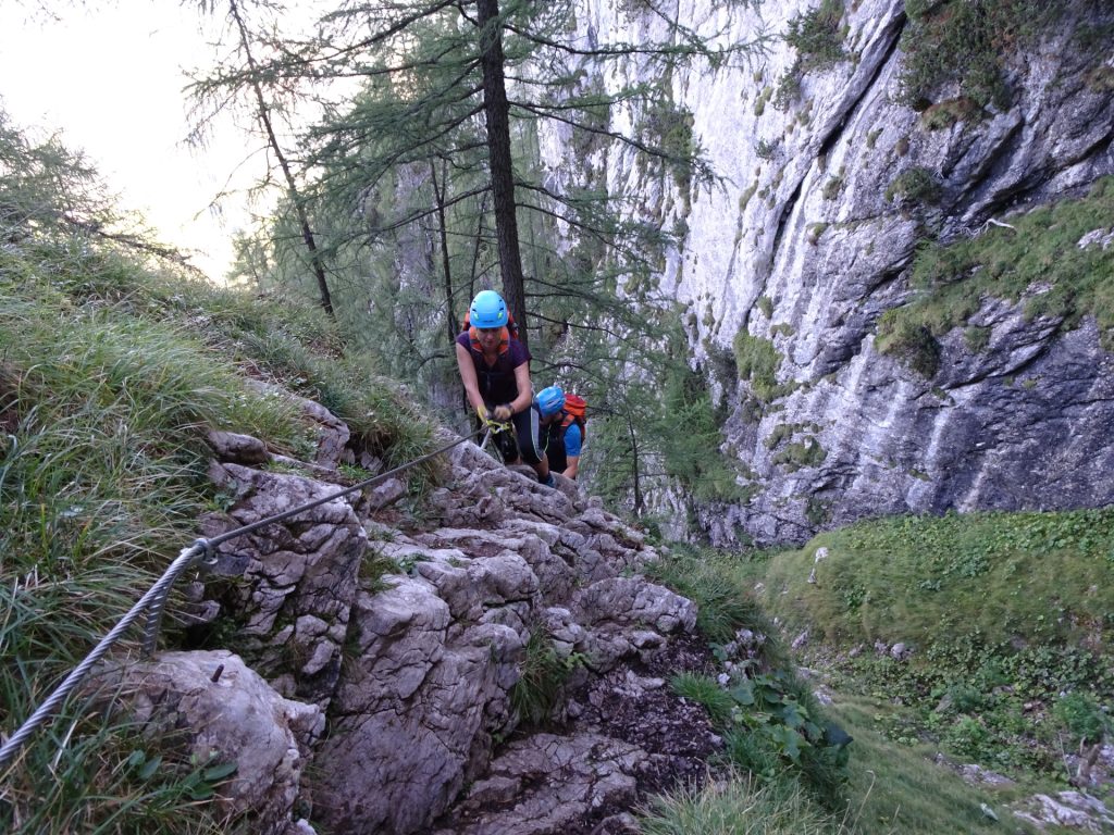
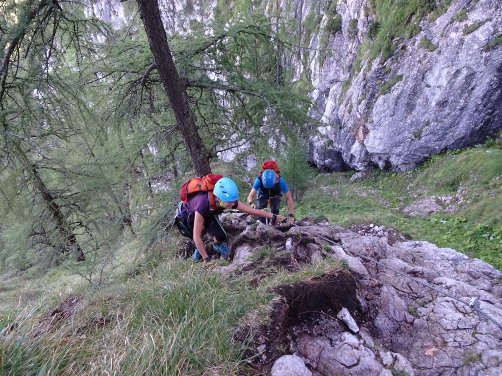
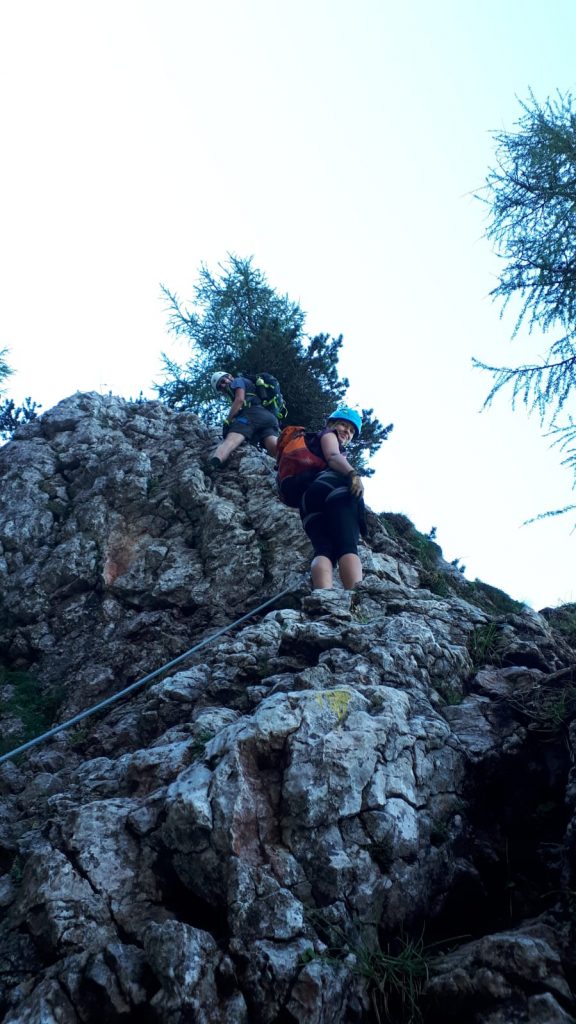
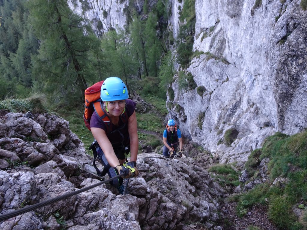
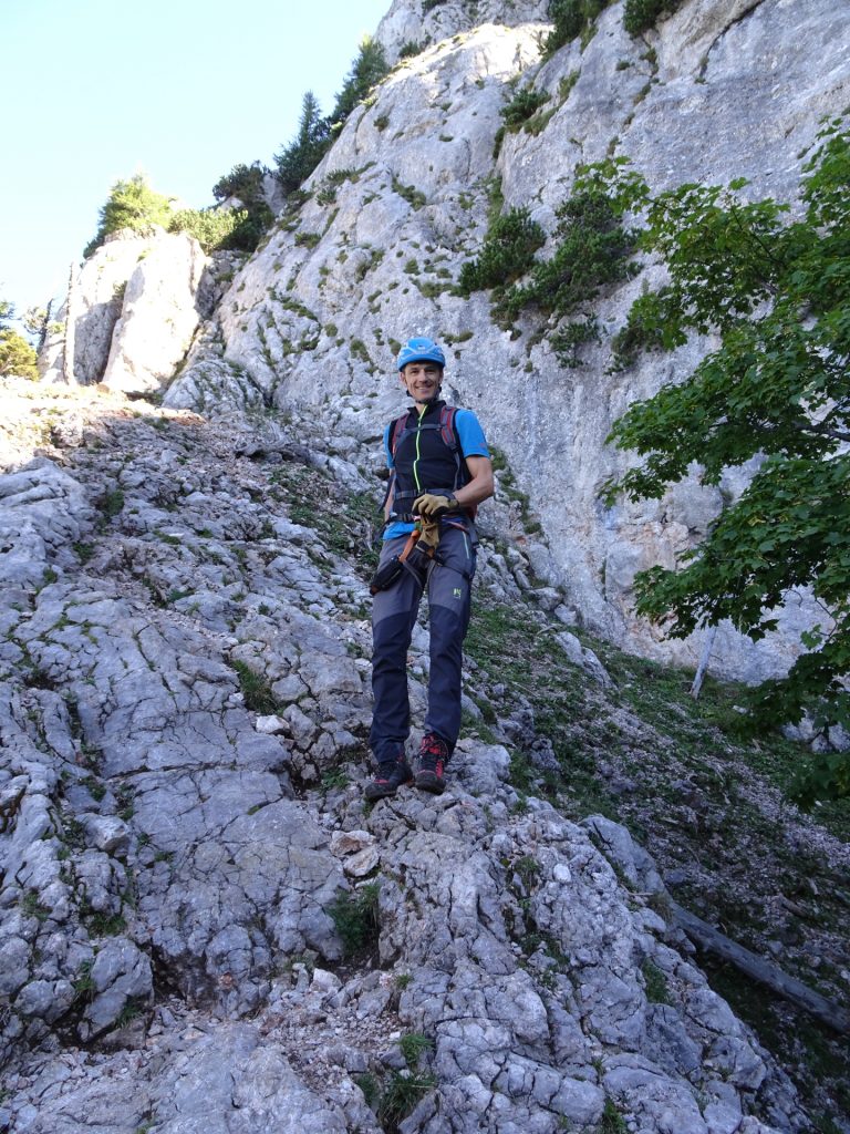
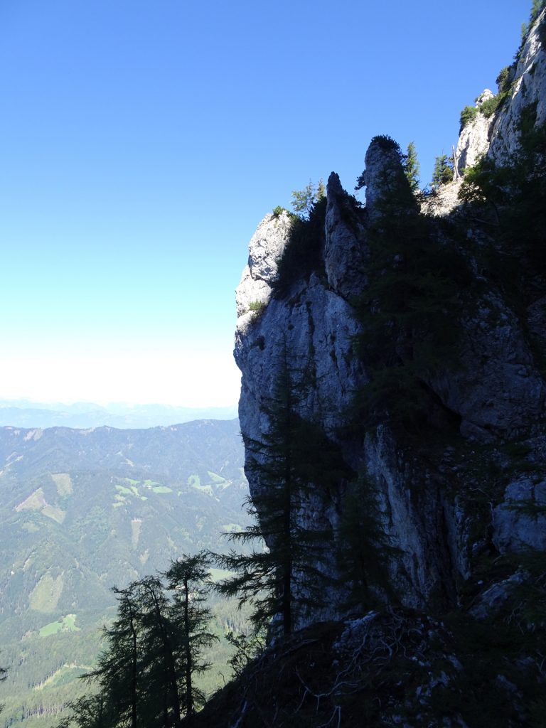
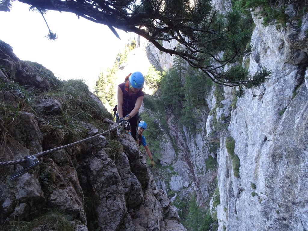
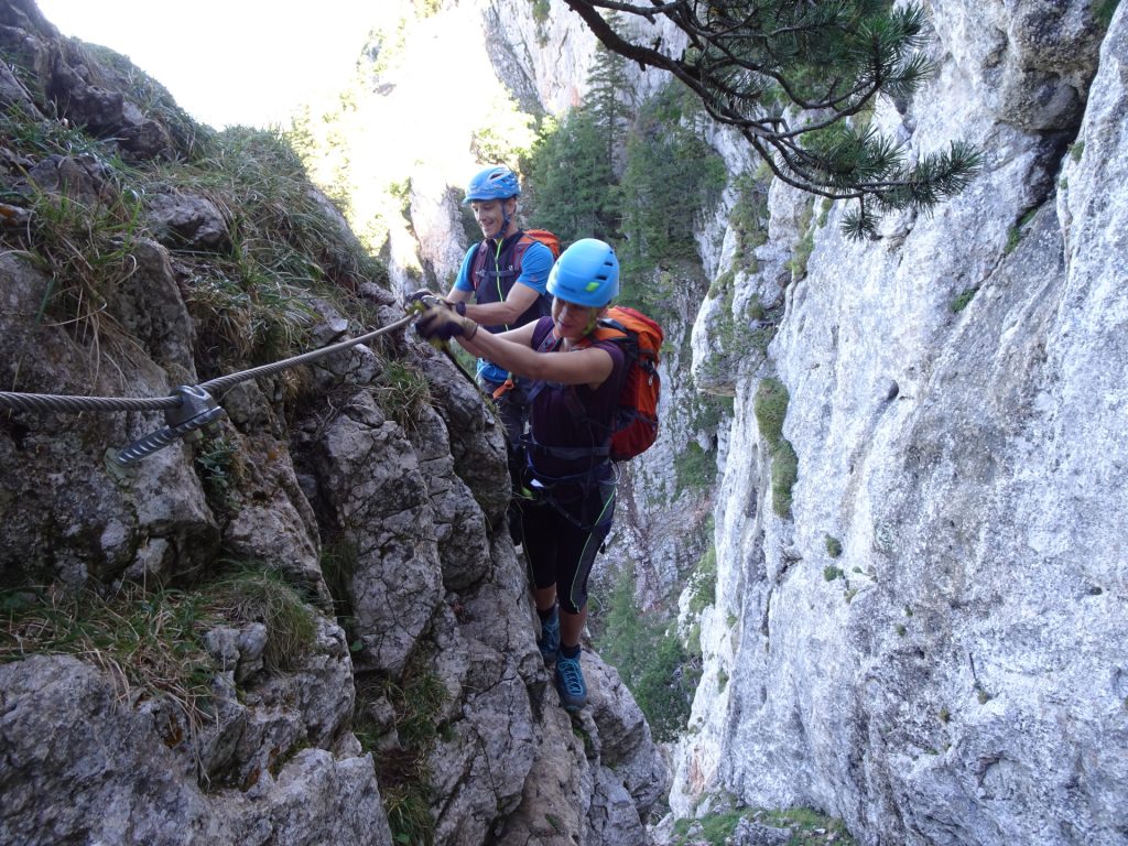
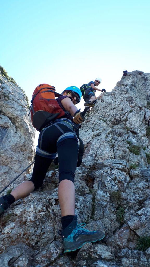
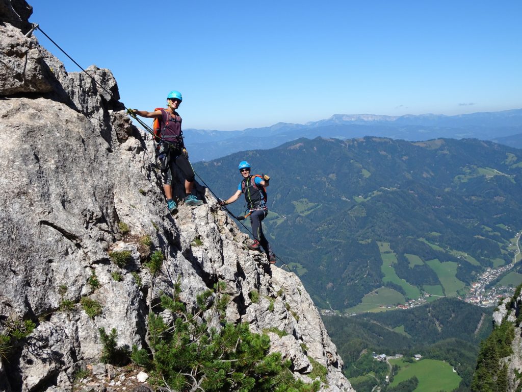
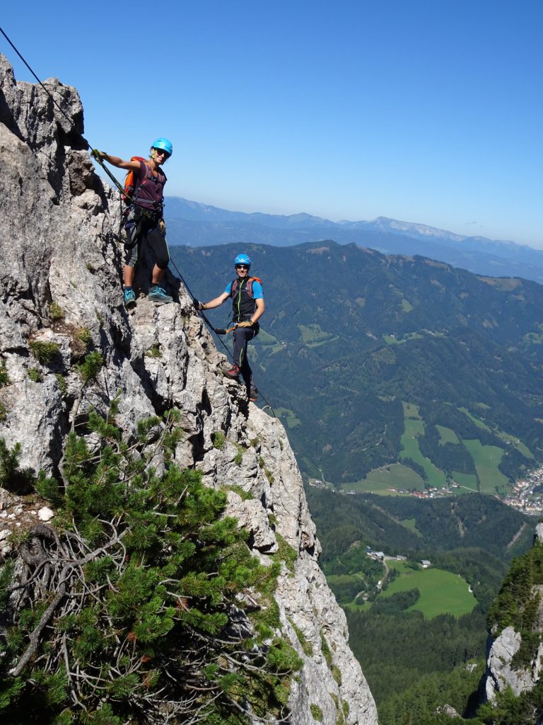
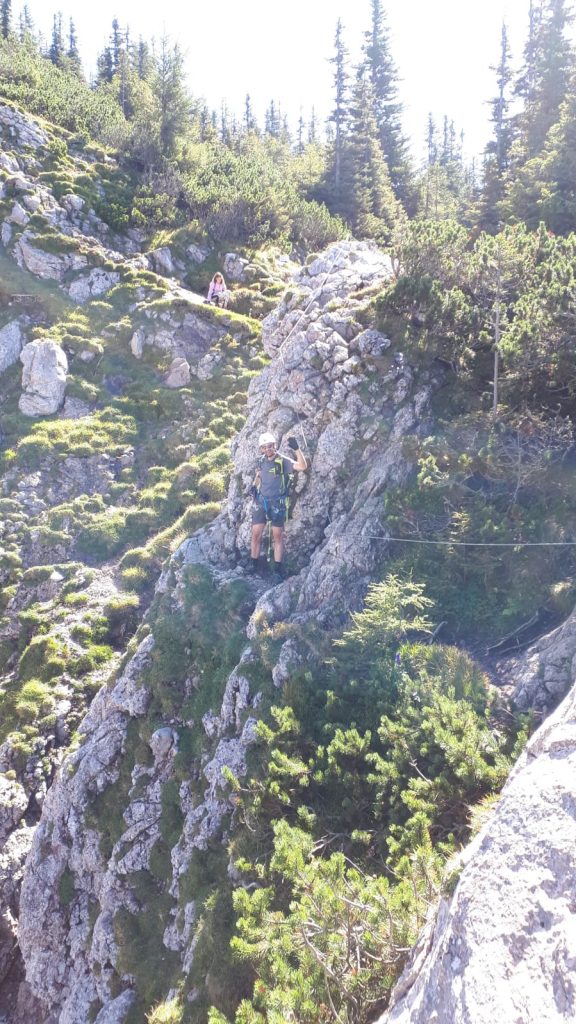
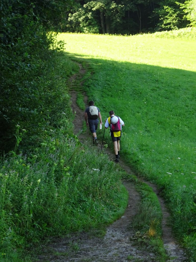
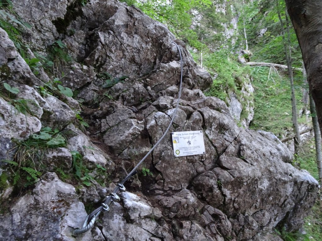
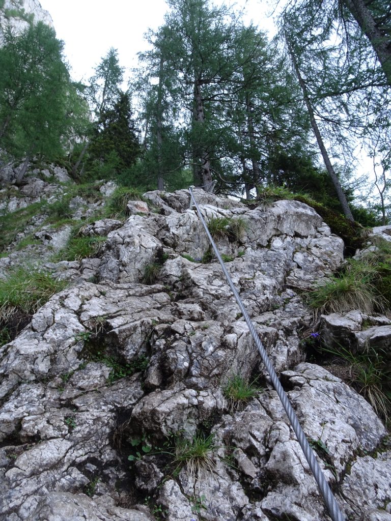
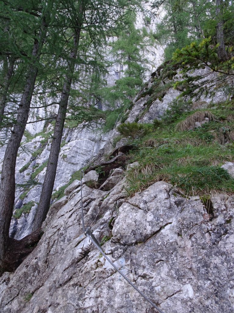
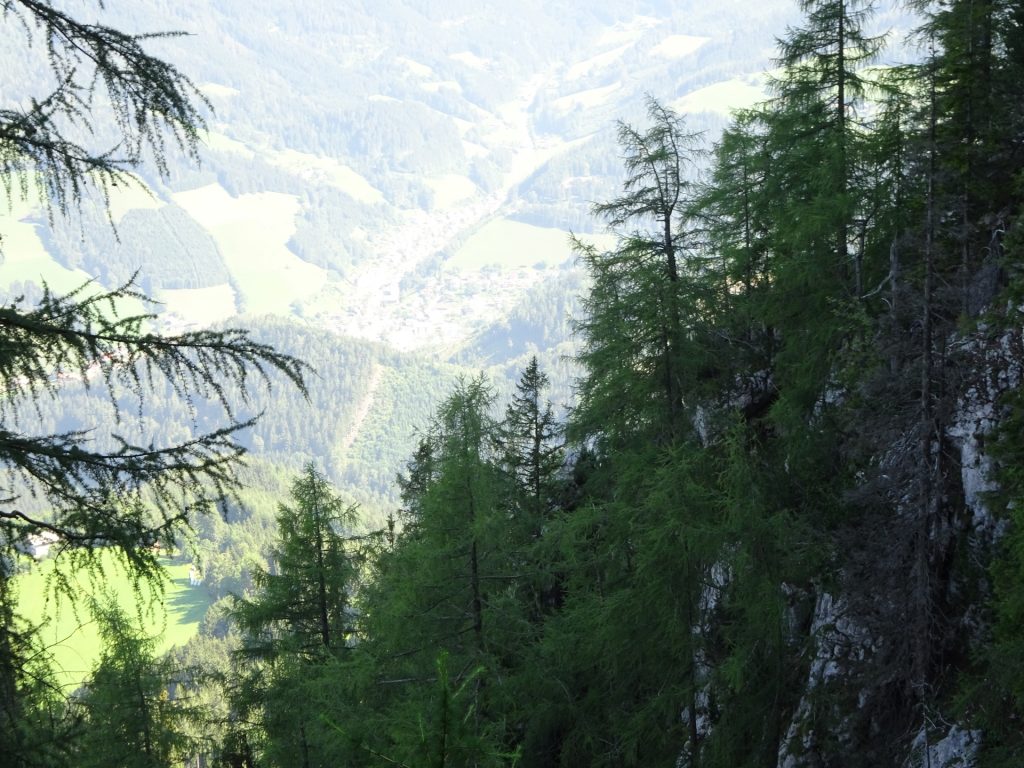
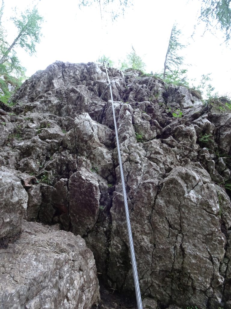
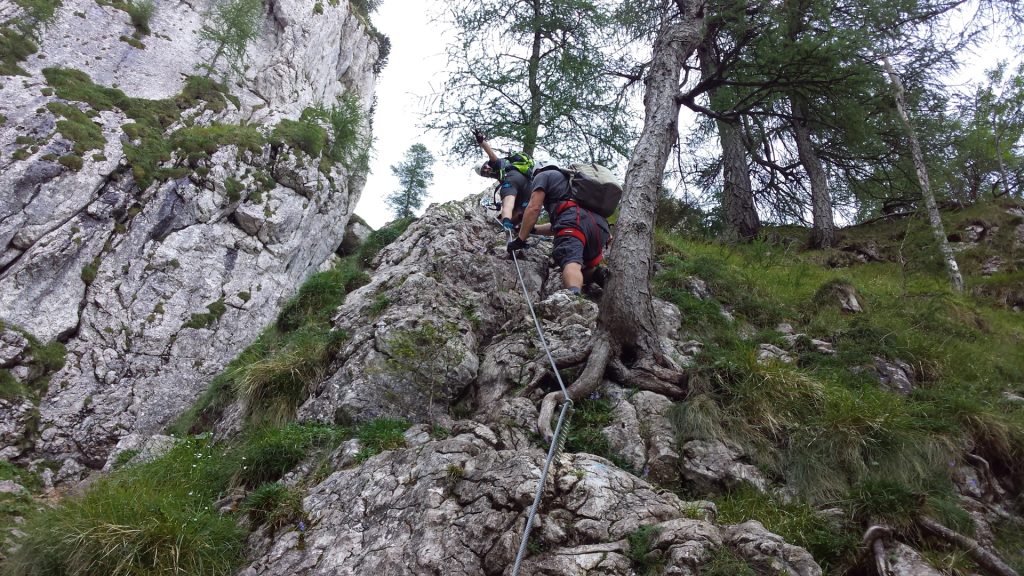
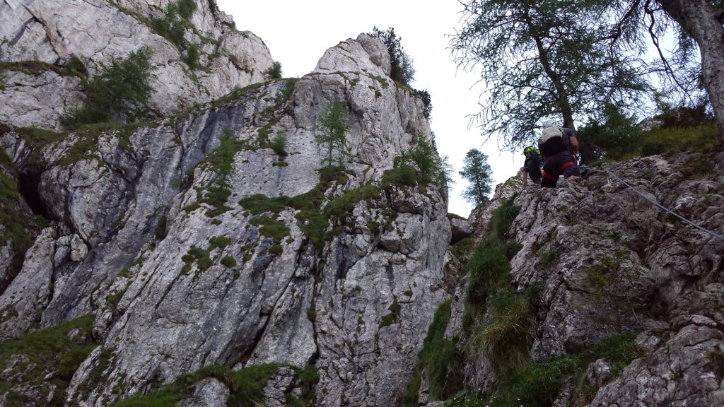
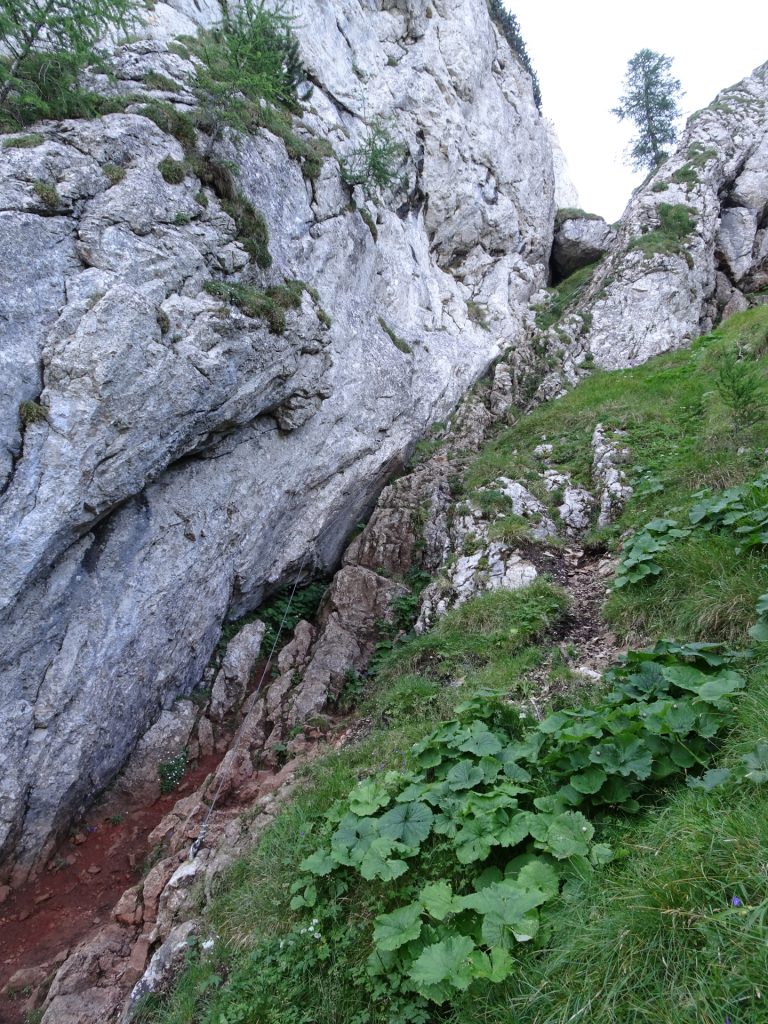
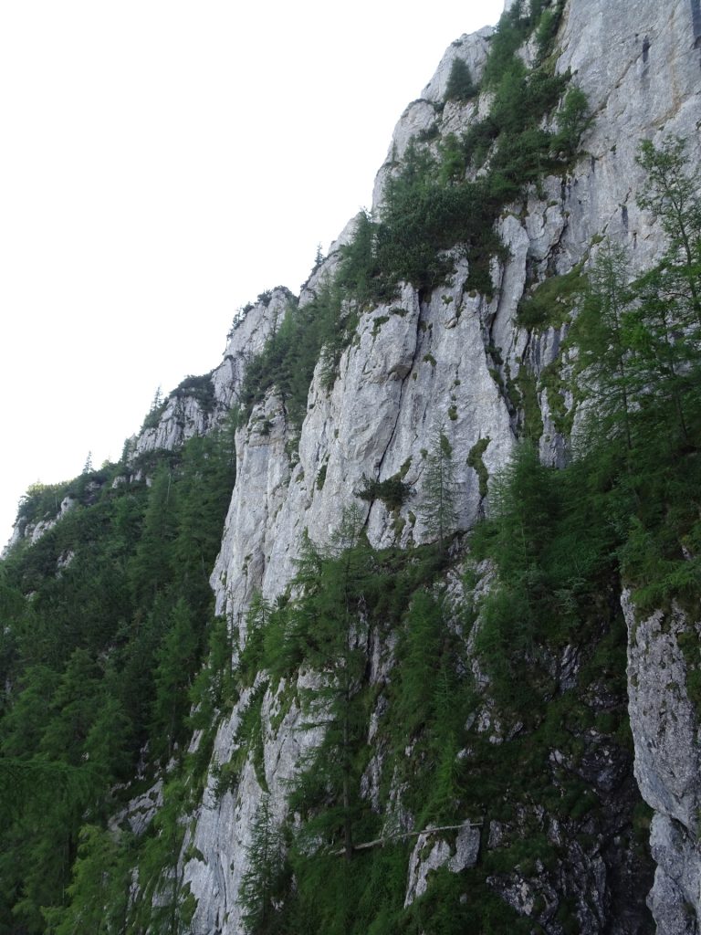
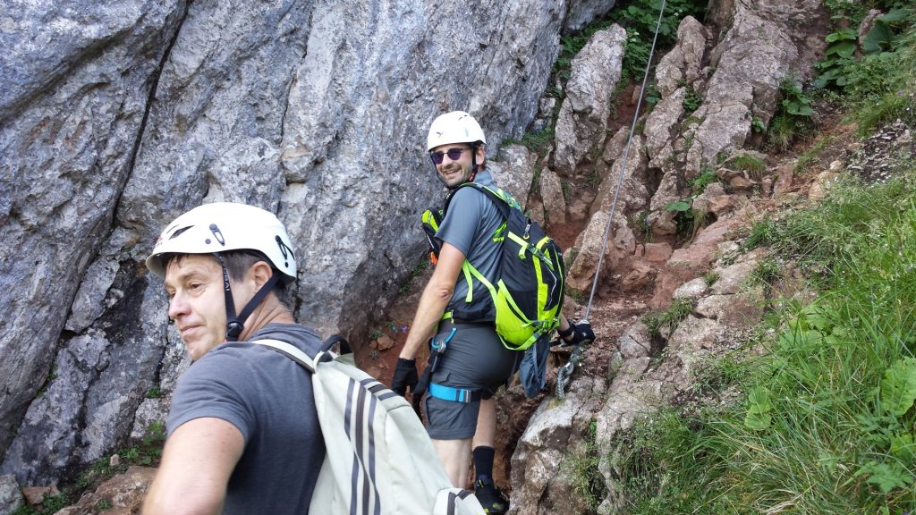
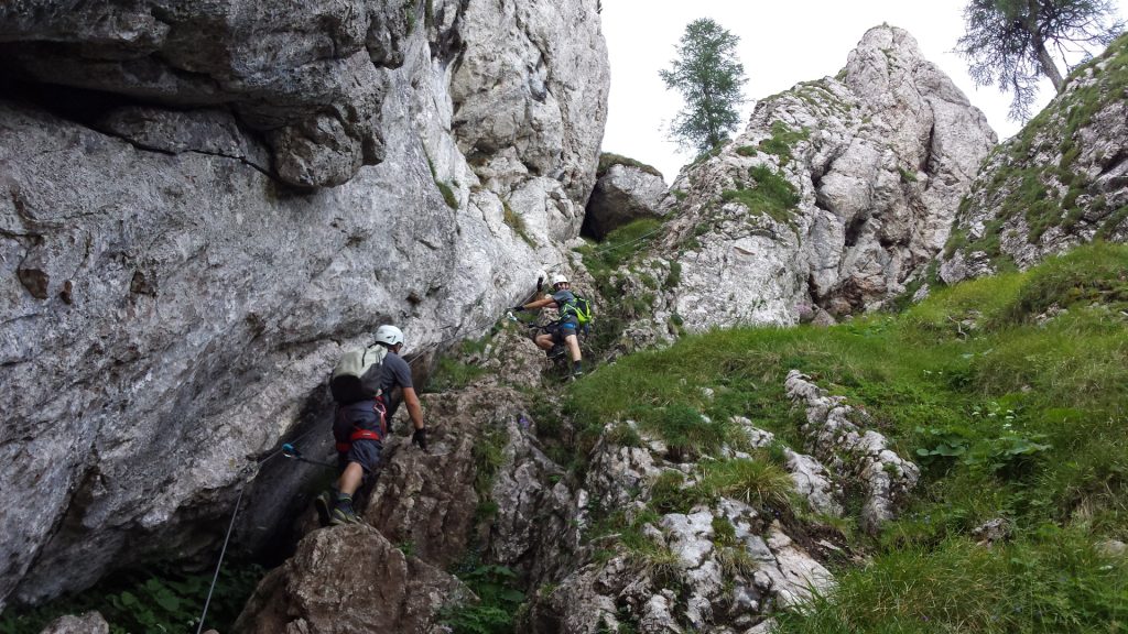
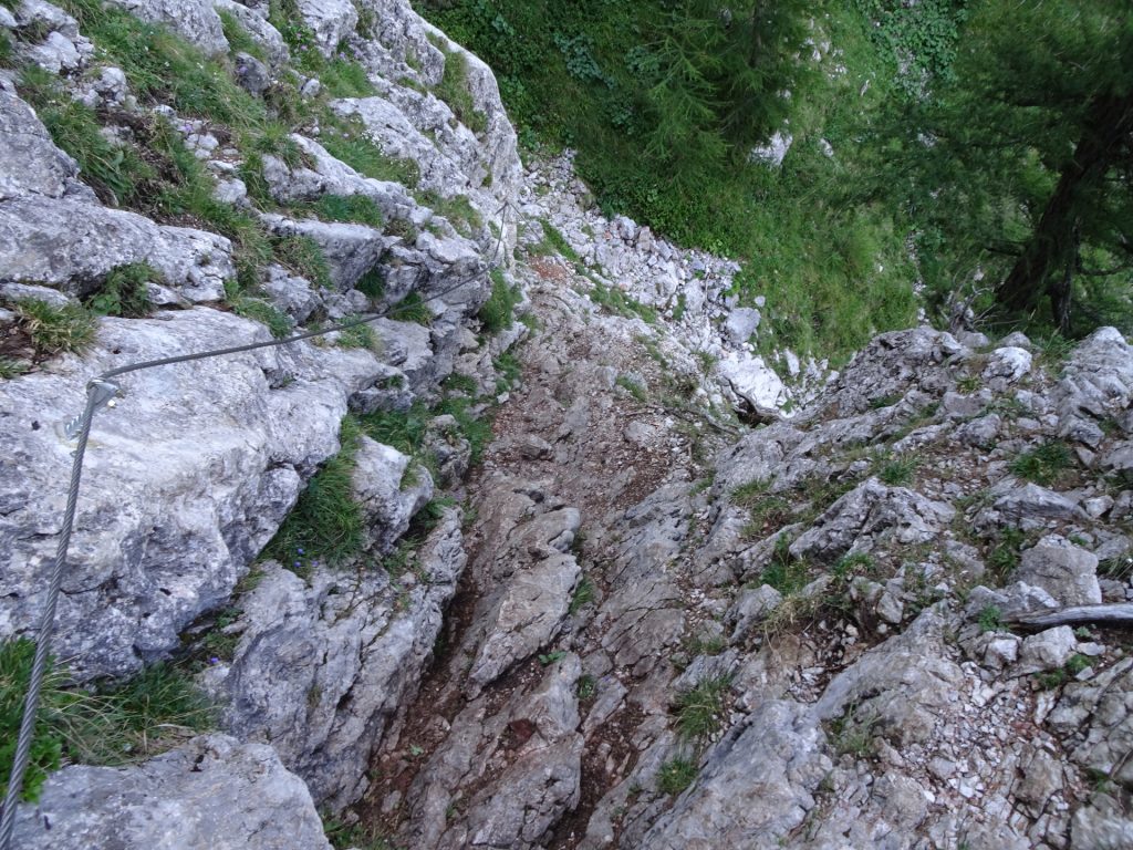
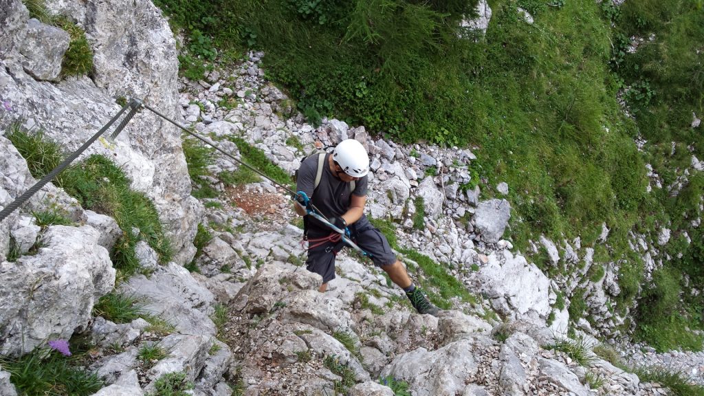
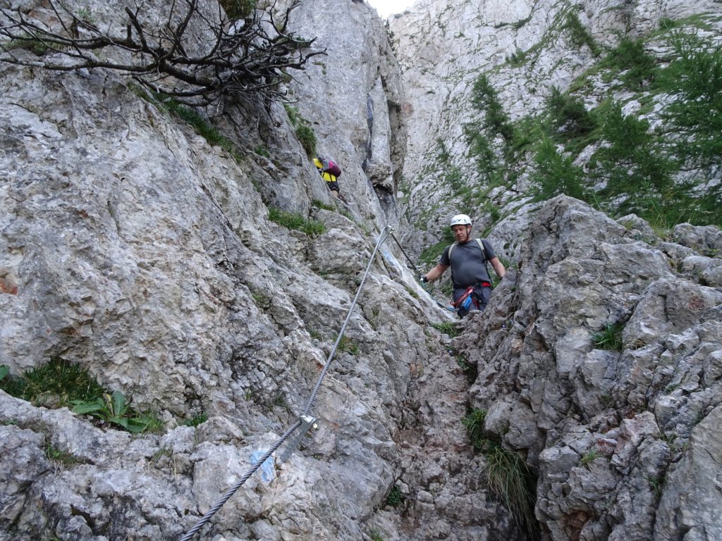
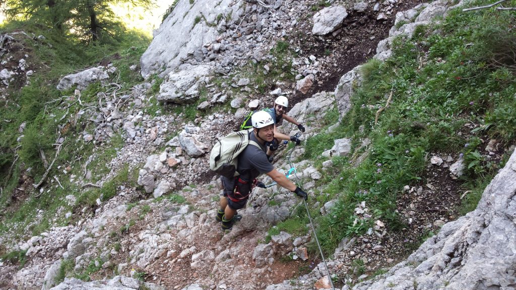
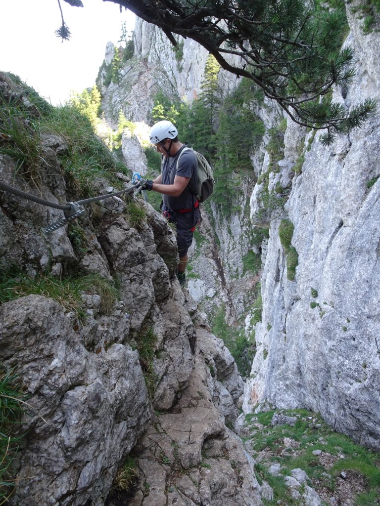
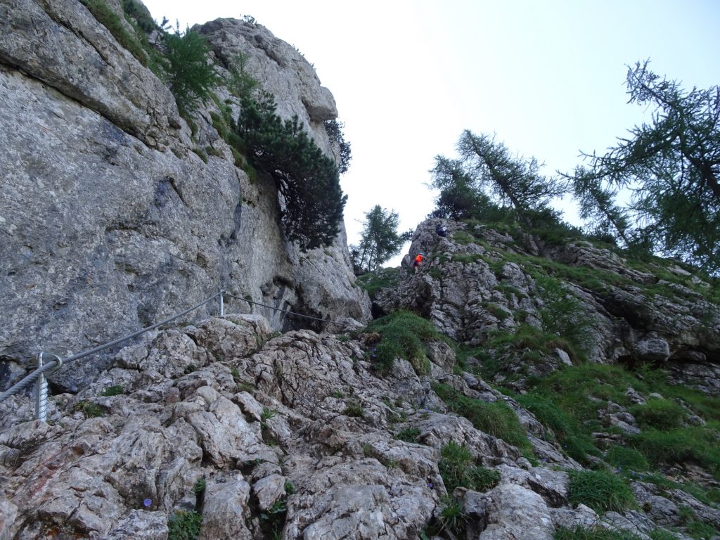
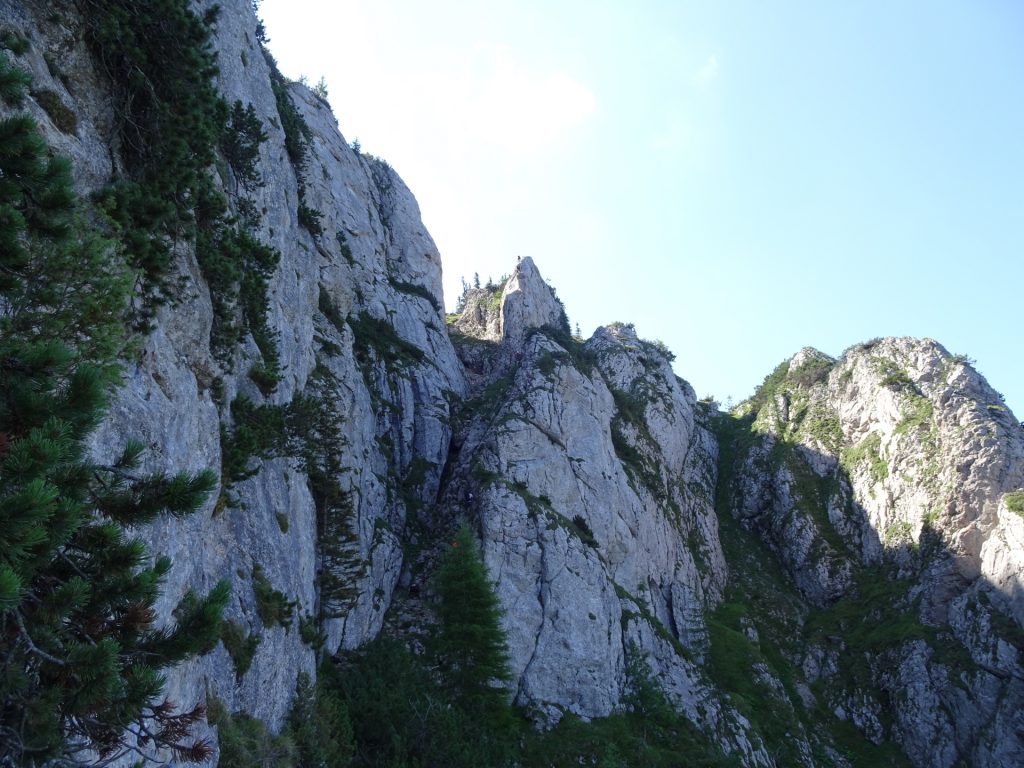
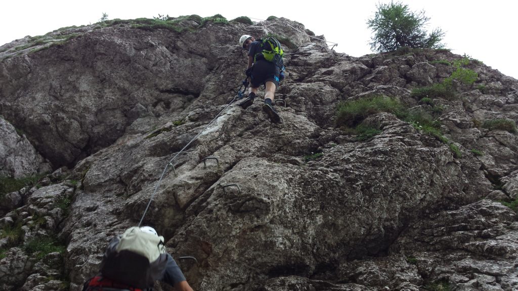
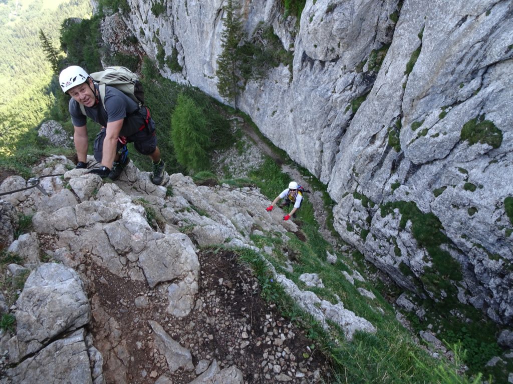
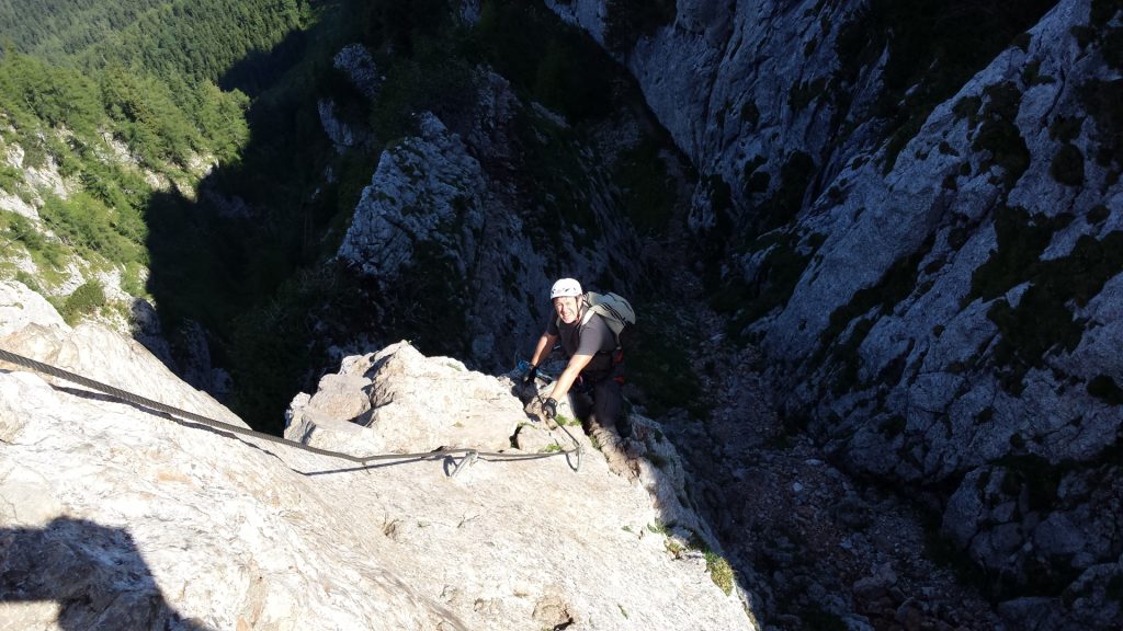
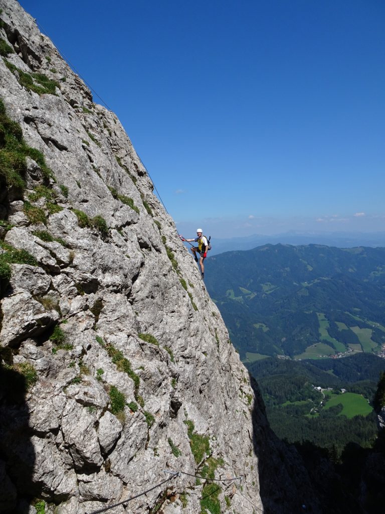
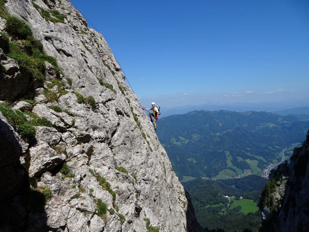
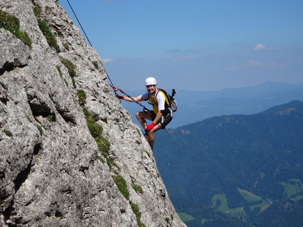
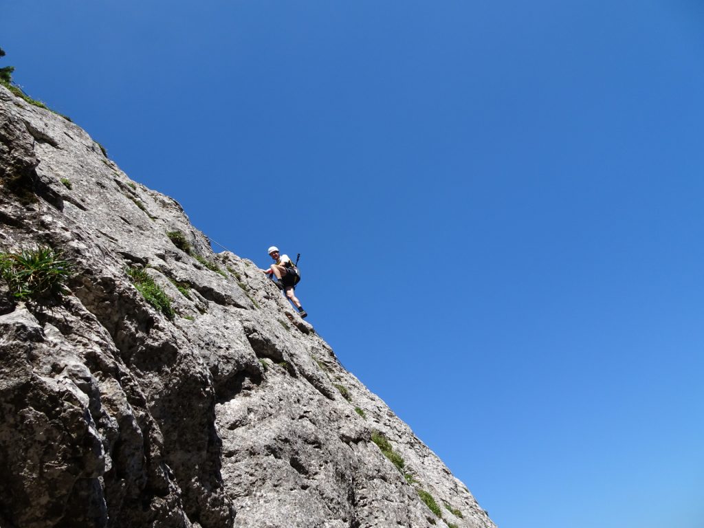
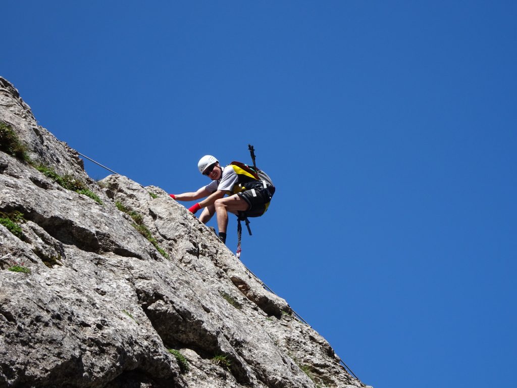
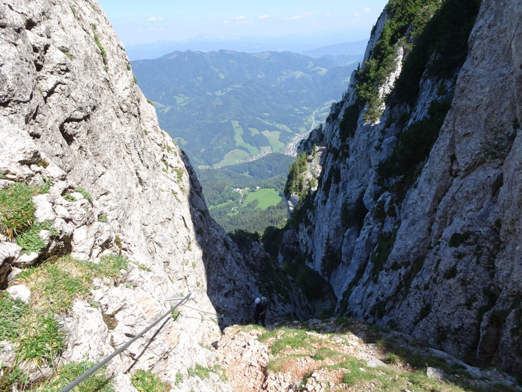
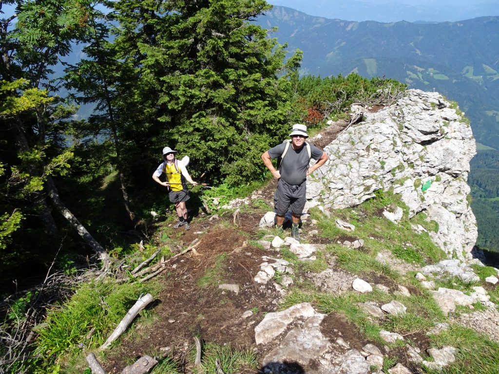
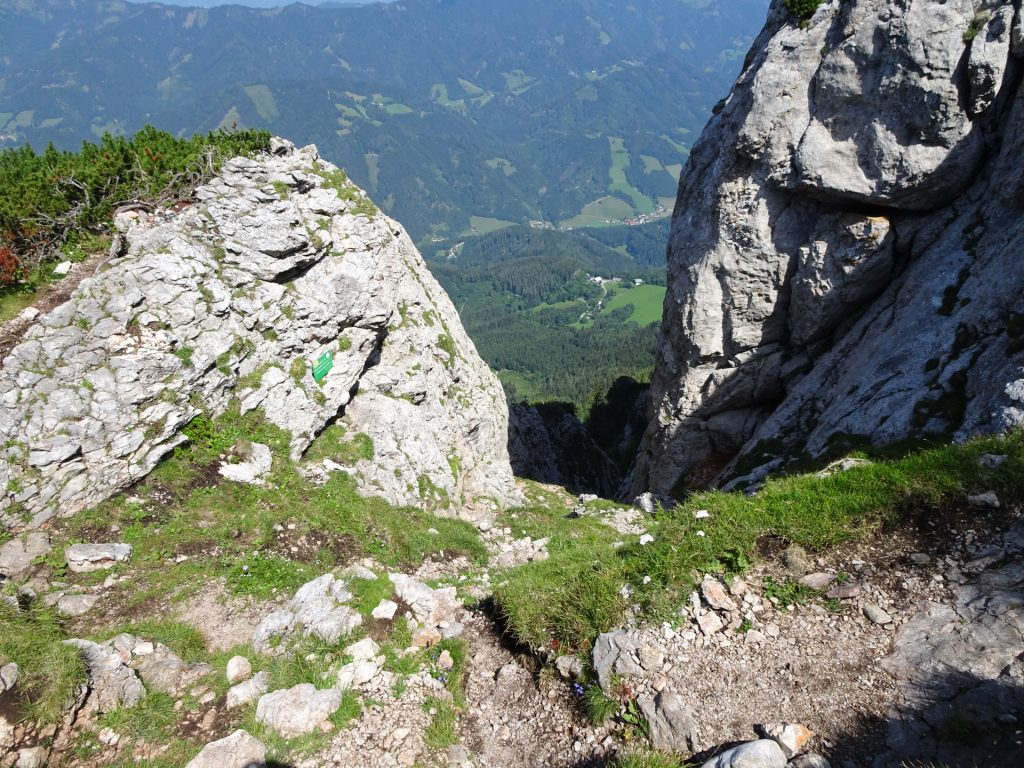
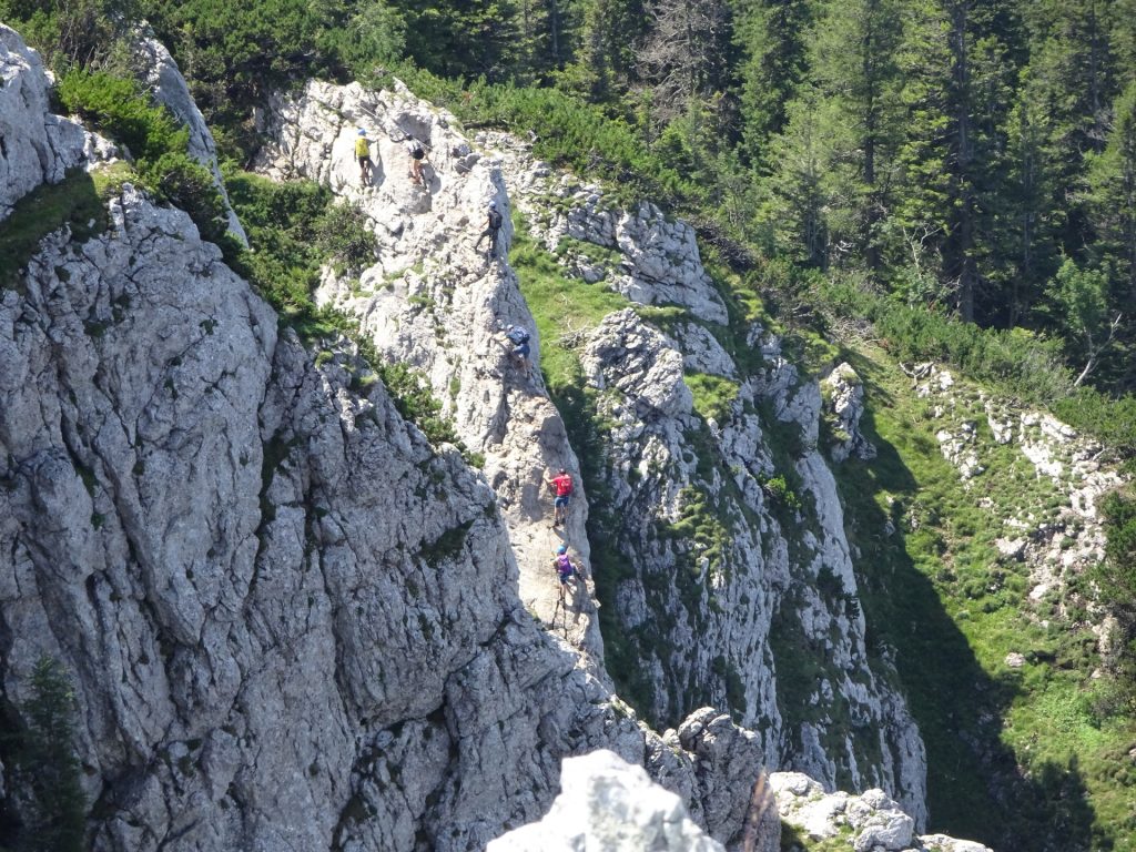
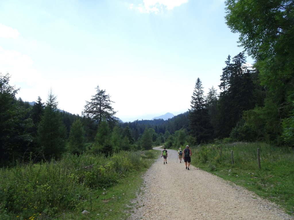
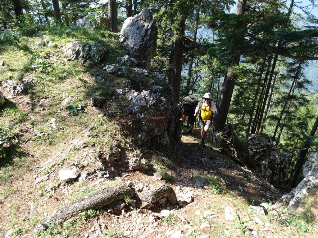
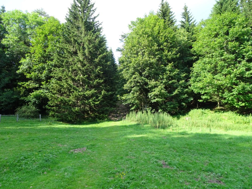
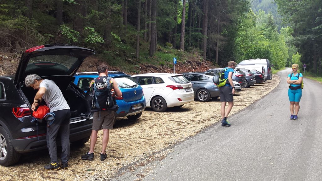
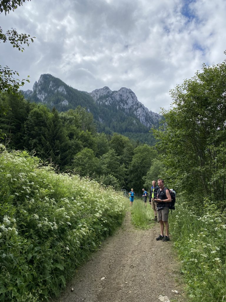
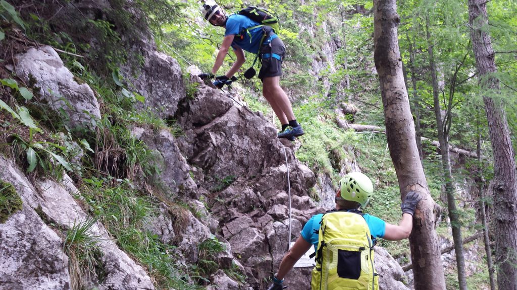
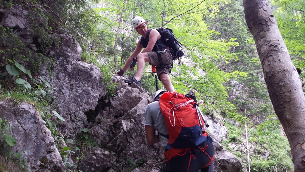
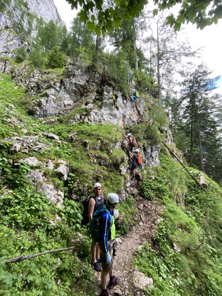
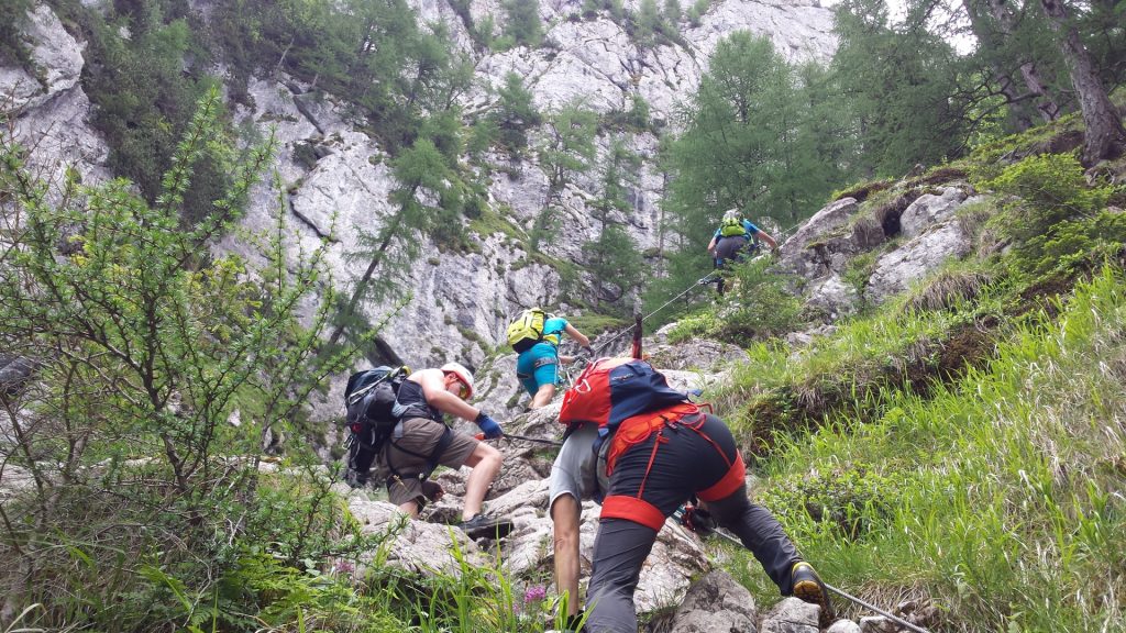
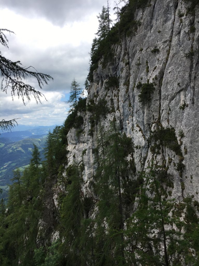
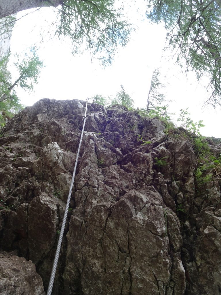
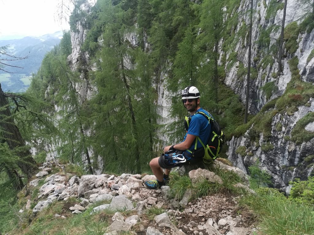
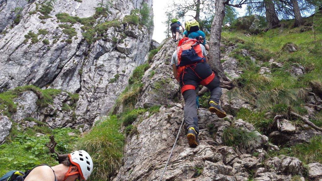
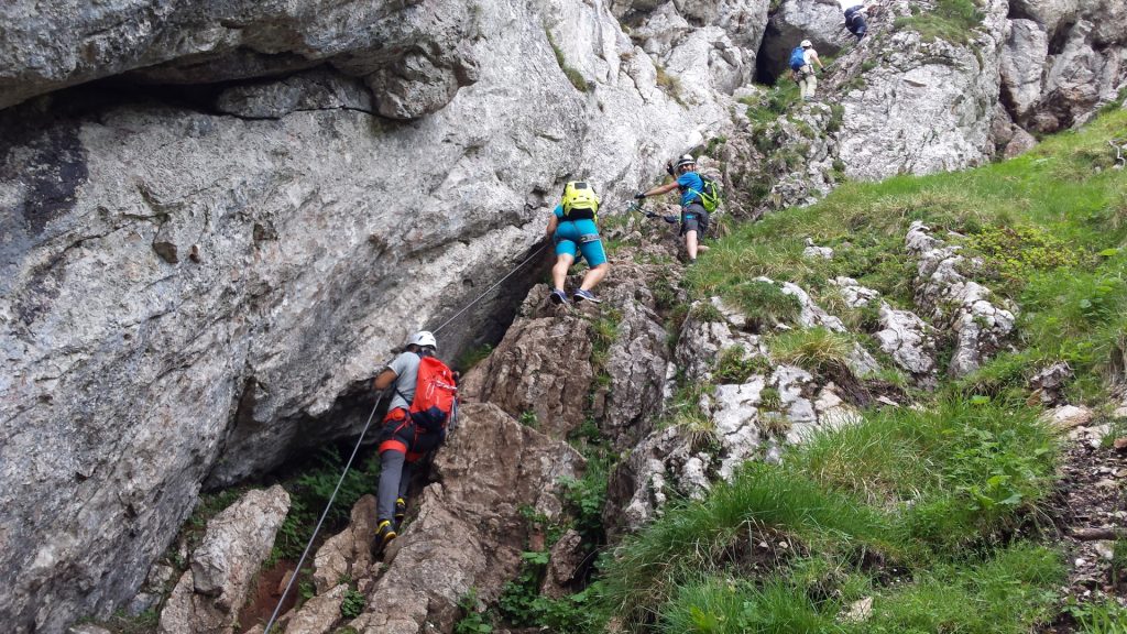
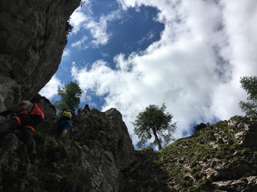
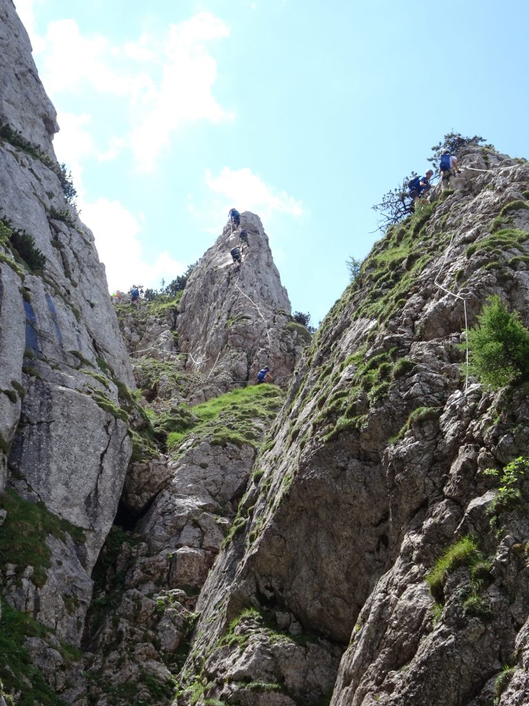
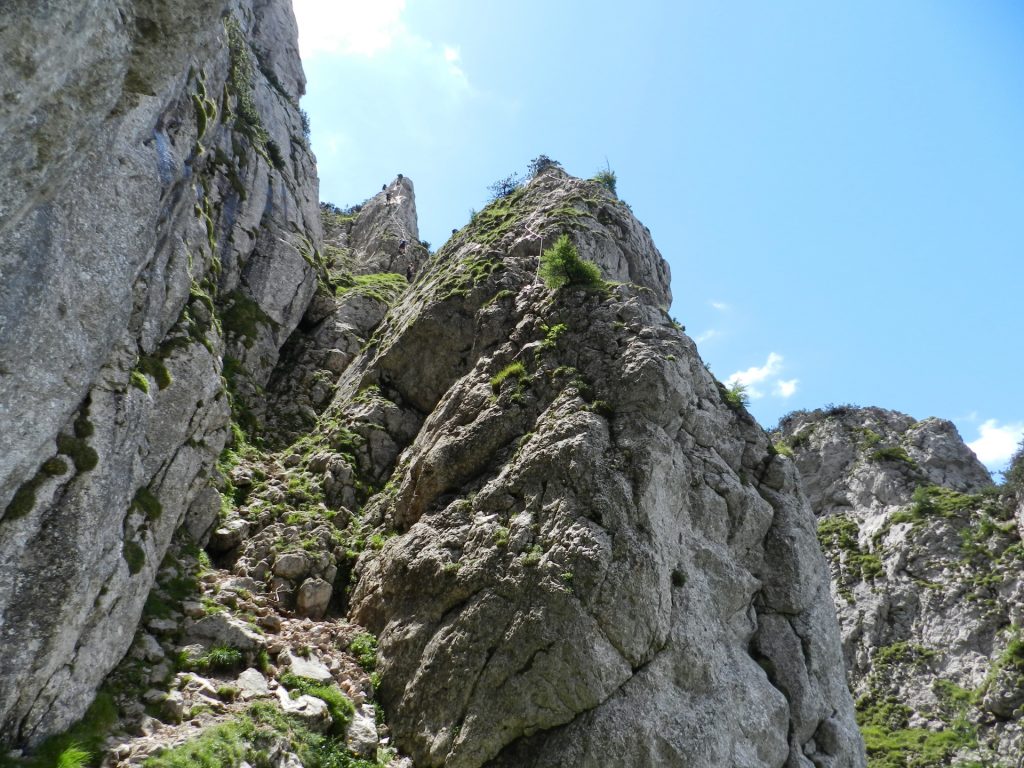
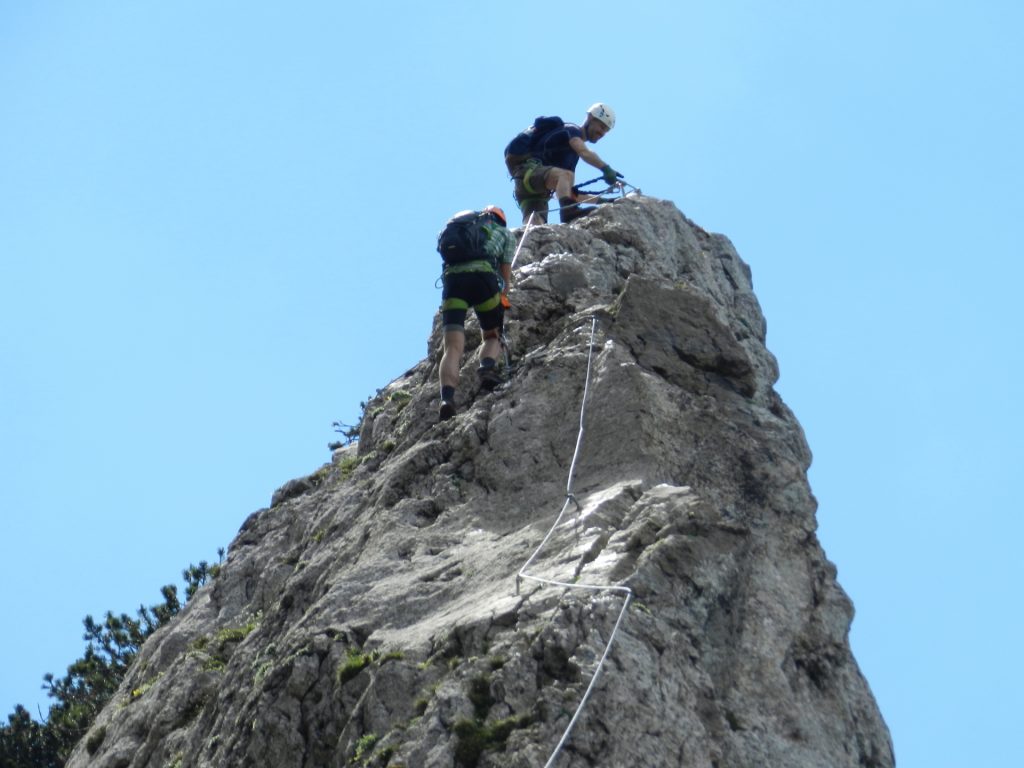
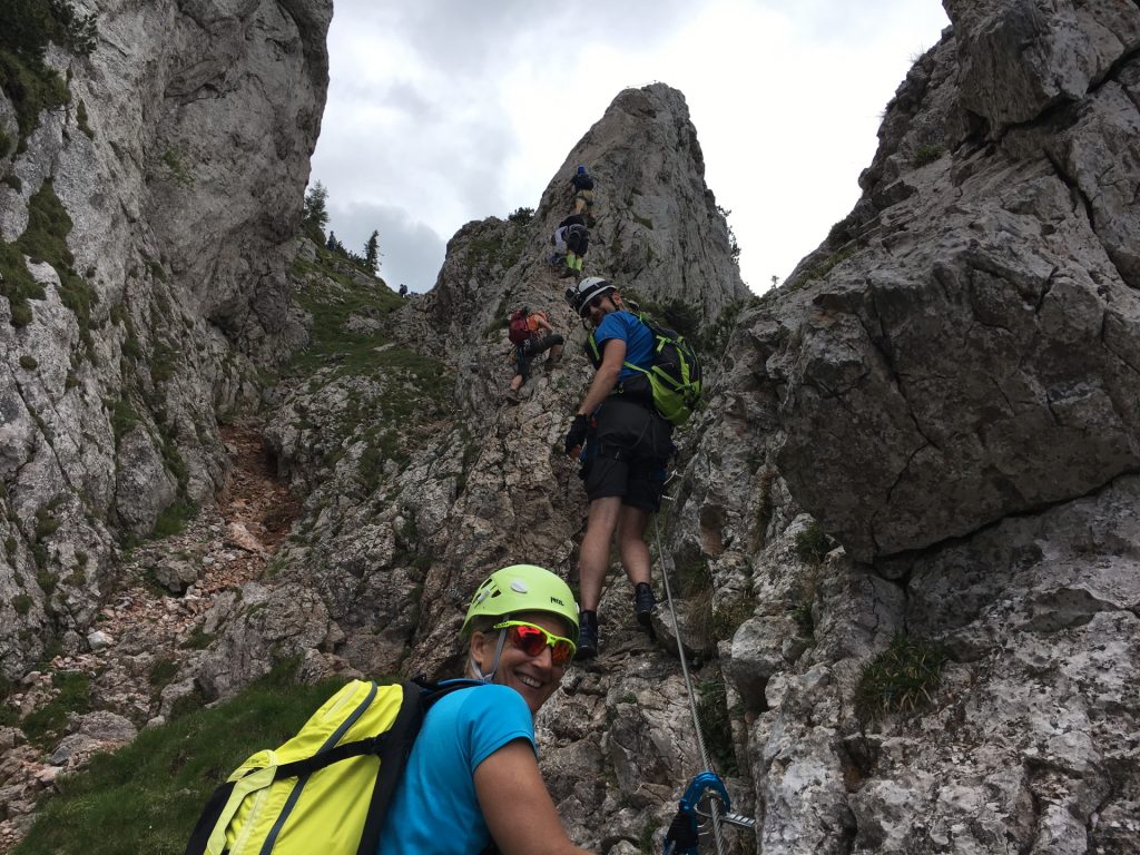
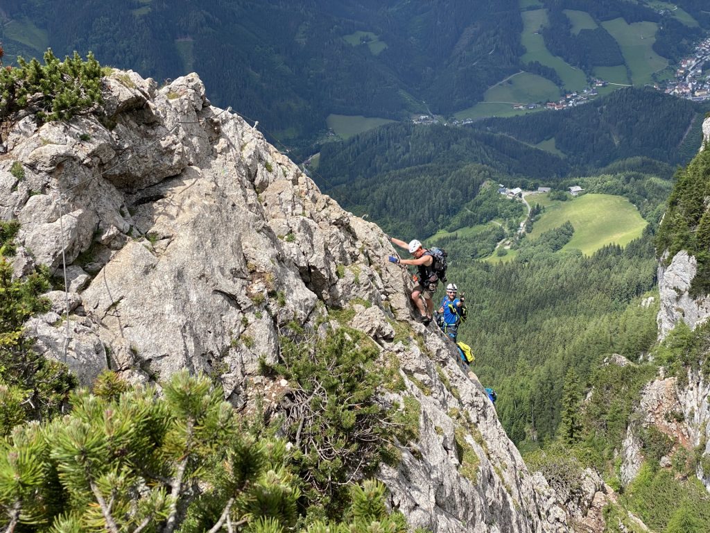
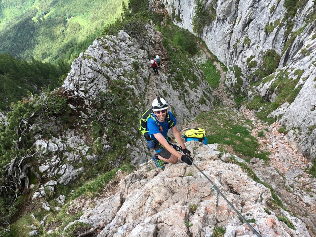
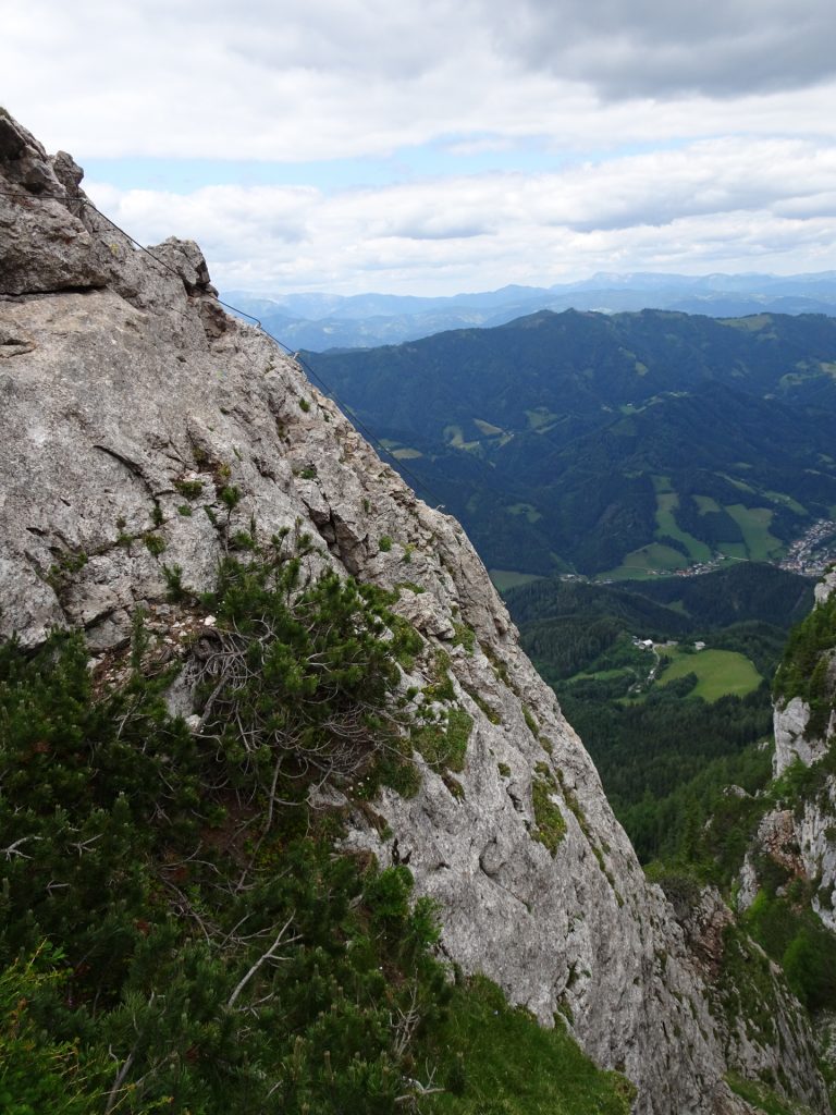
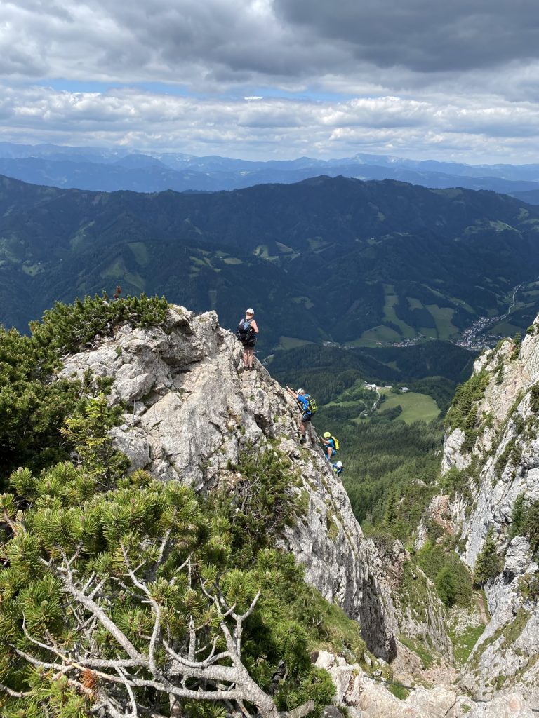
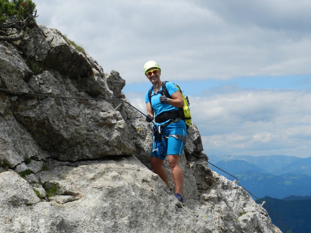
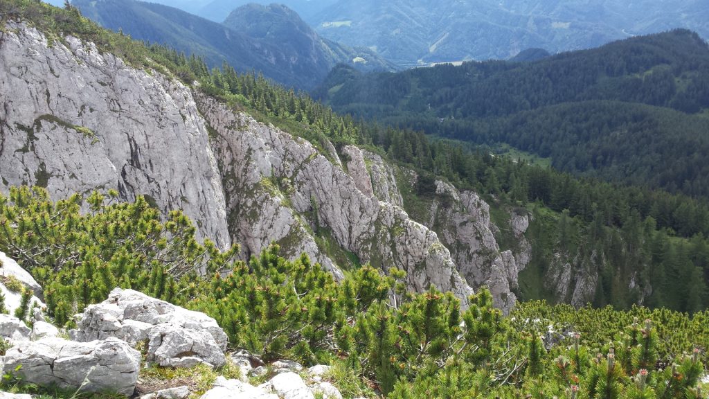
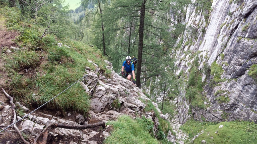
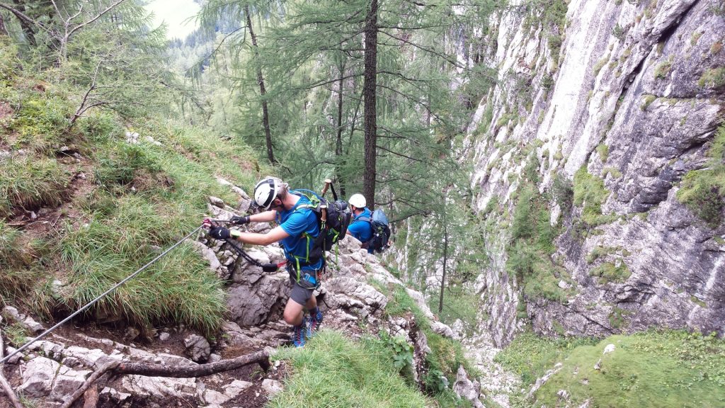
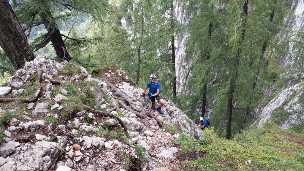
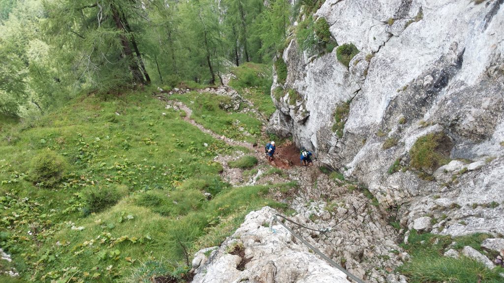
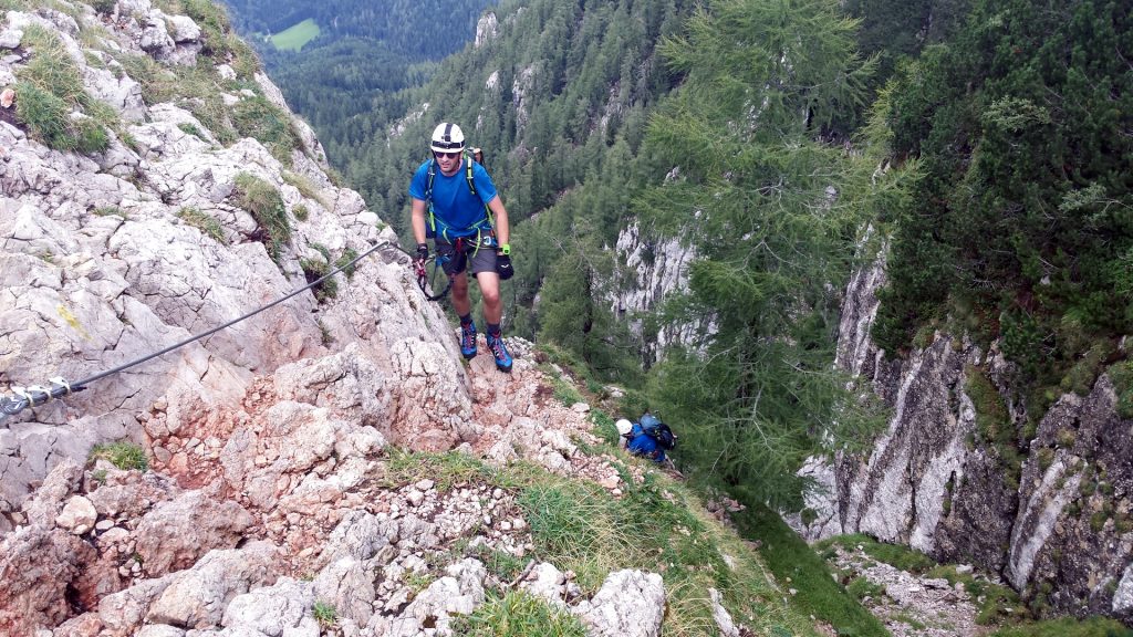
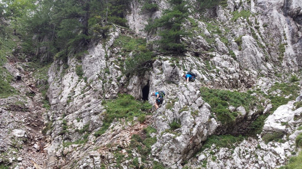
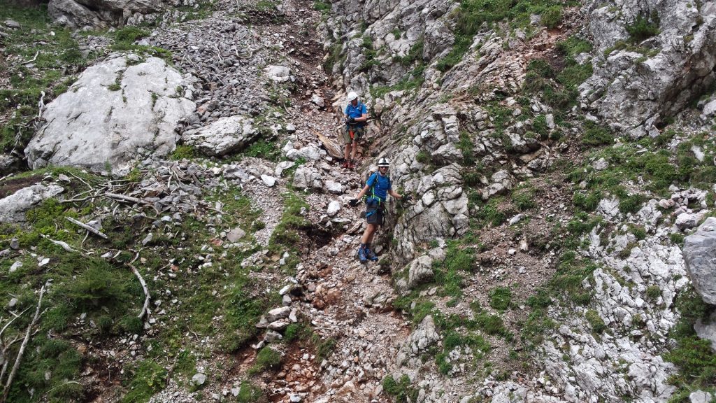
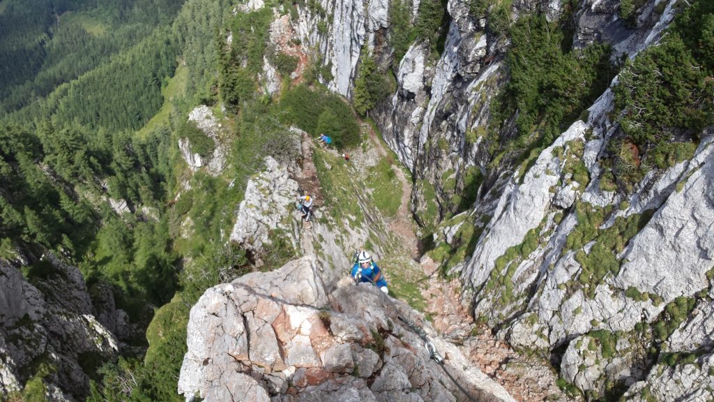
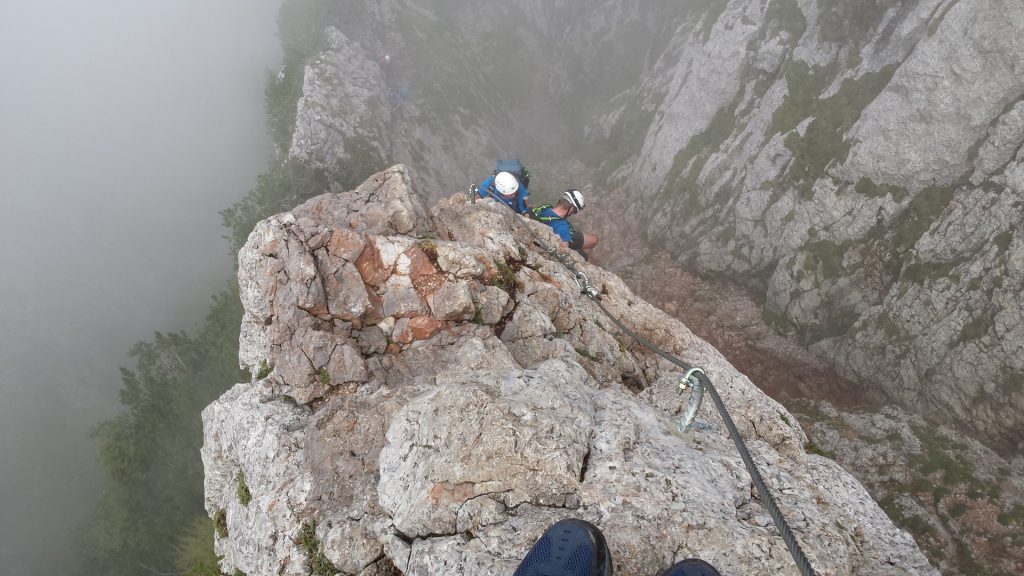
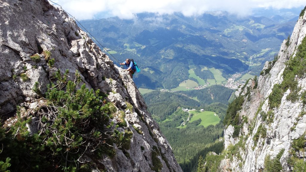
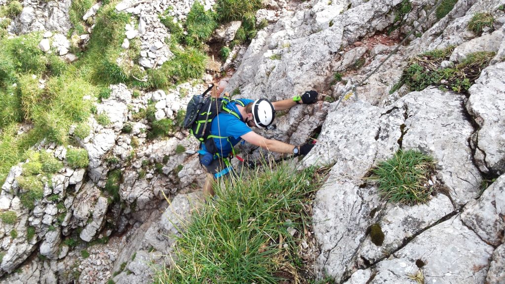
The tour starts at the parking at Wöllingergraben Weg 20, 8614 St. Jakob bei Mixnitz (GPS: 47.374226, 15.422393) and first leads through a forest towards the start of the Franz-Scheikl Via Ferrata. The Via Ferrata is more than 2 km long and the ascent is 316 m. The difficulty level is mostly cat. C with two C/D parts. The crux is a steep ridge (Cat. D) at the end of the long and overall demanding via ferrata – which becomes dangerous especially when wet or foggy (due to visibility issues). However, it can be bypassed on a Cat. B trail.
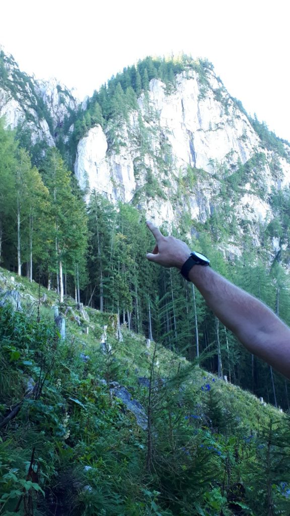
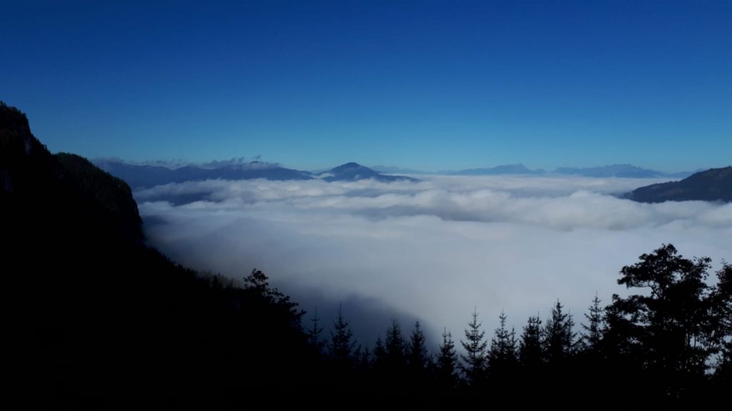
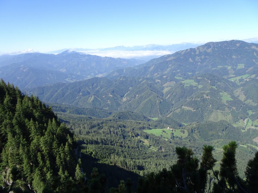
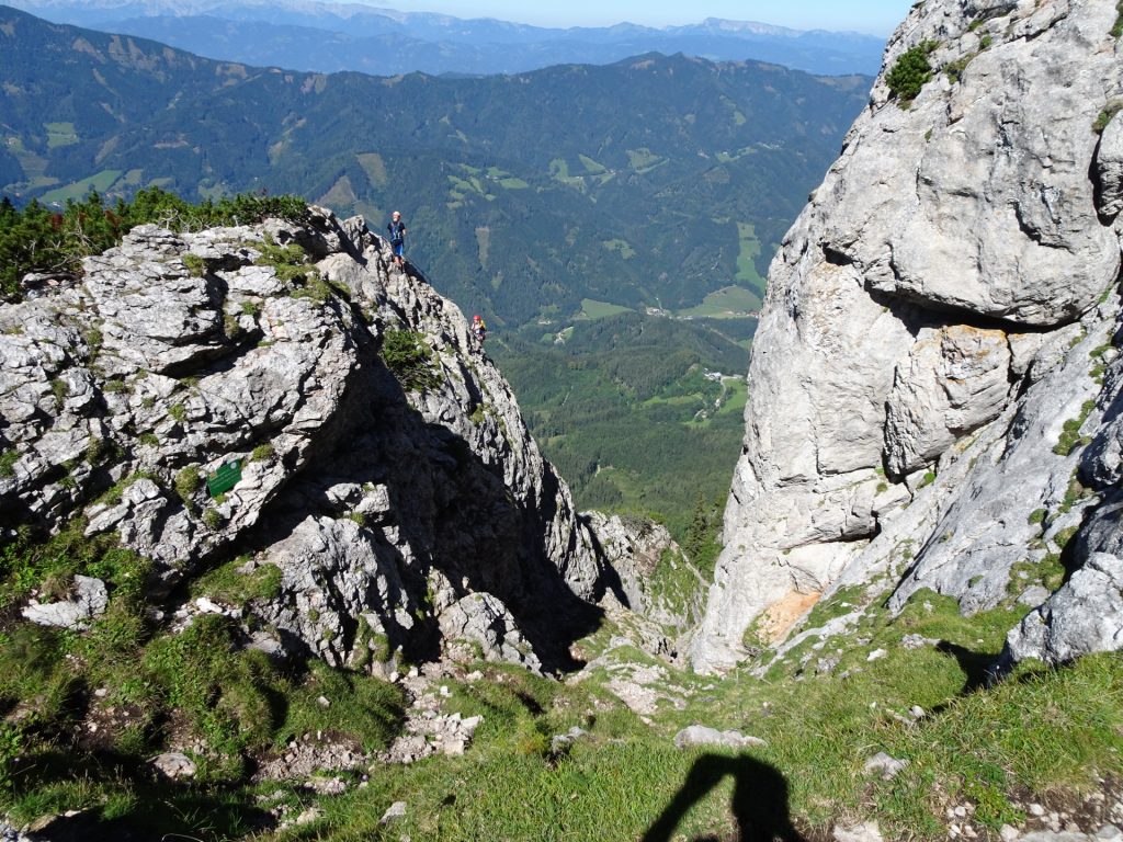
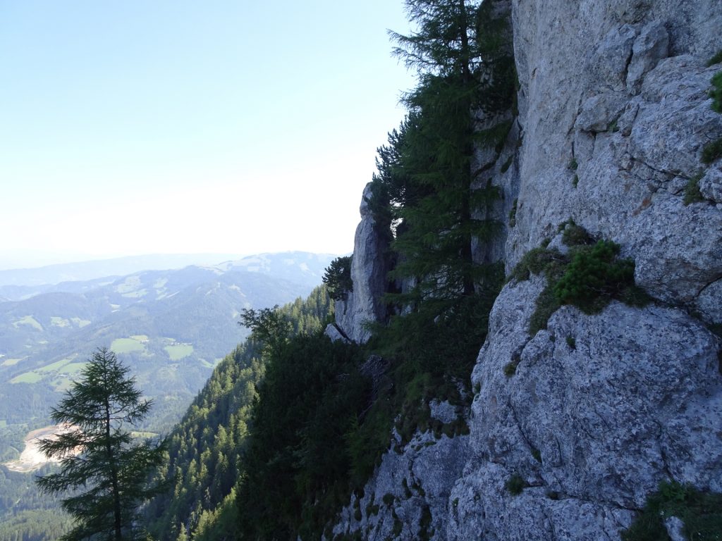
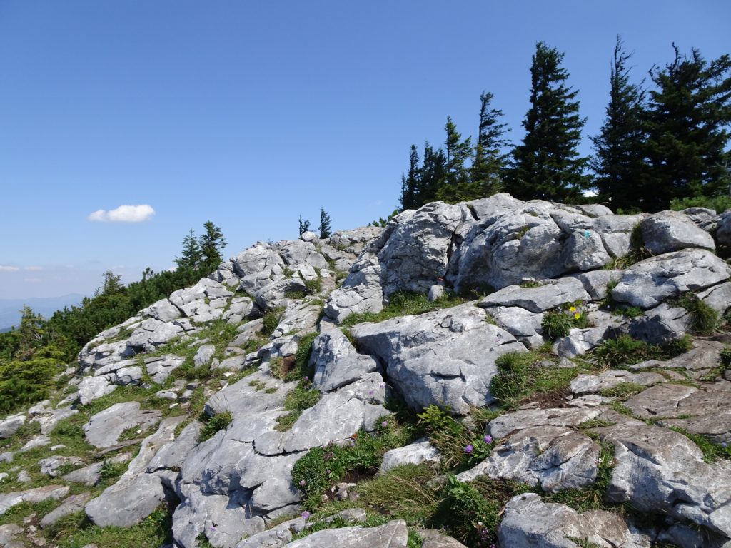
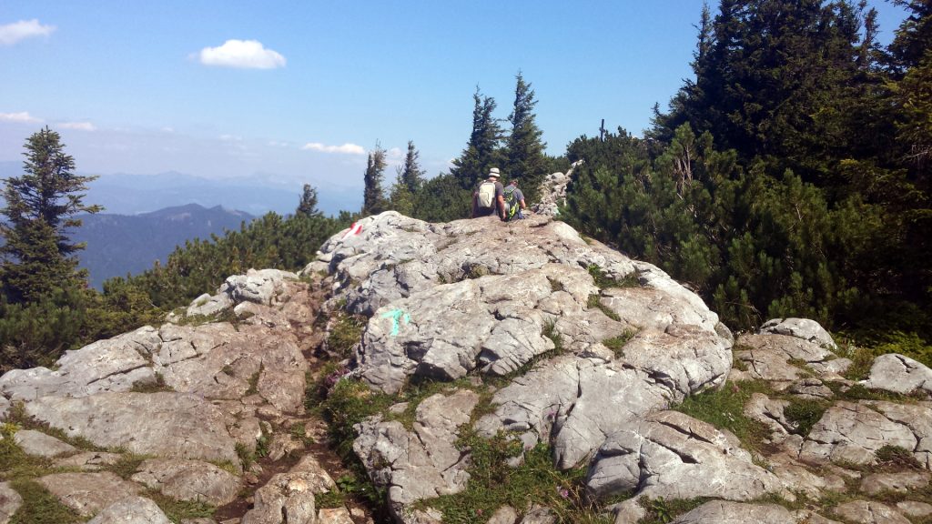
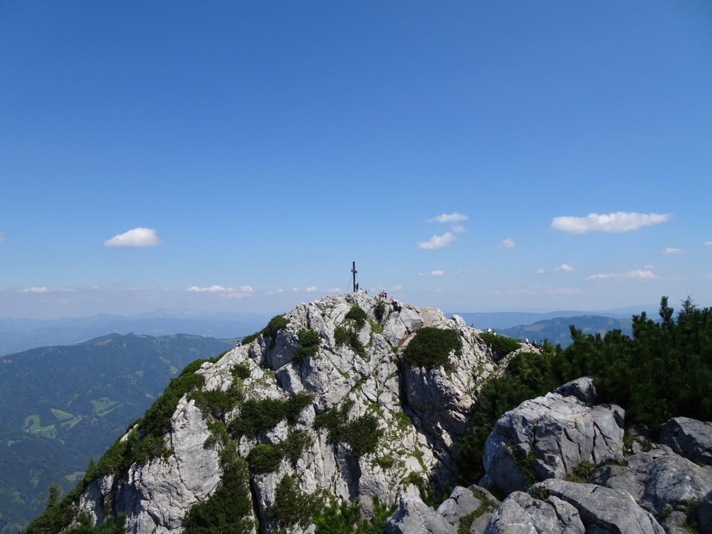
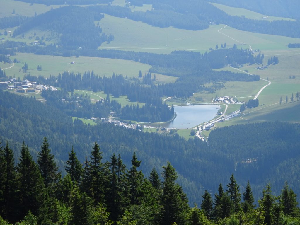
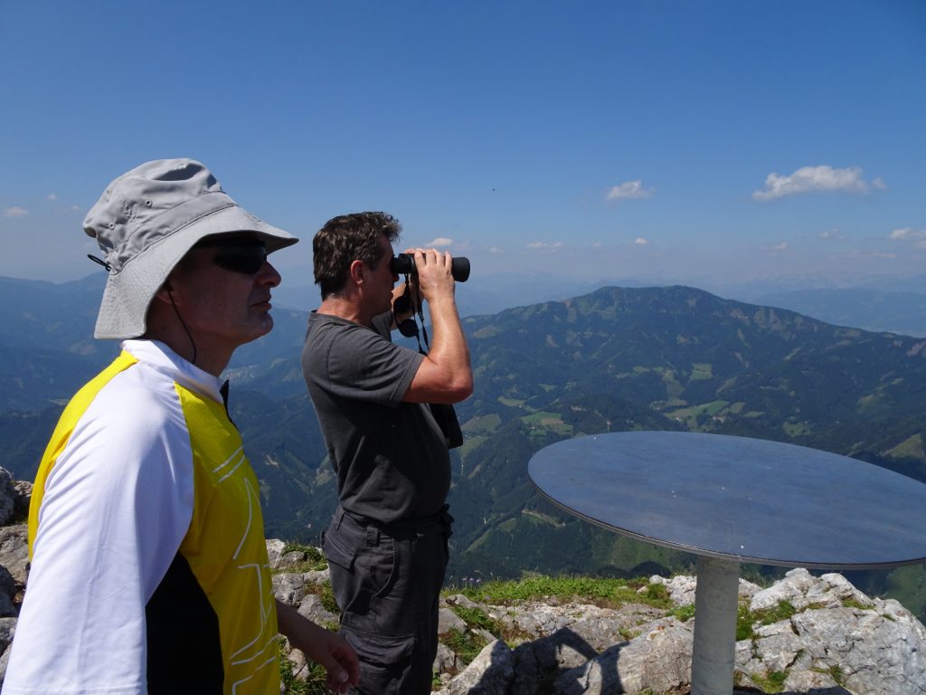
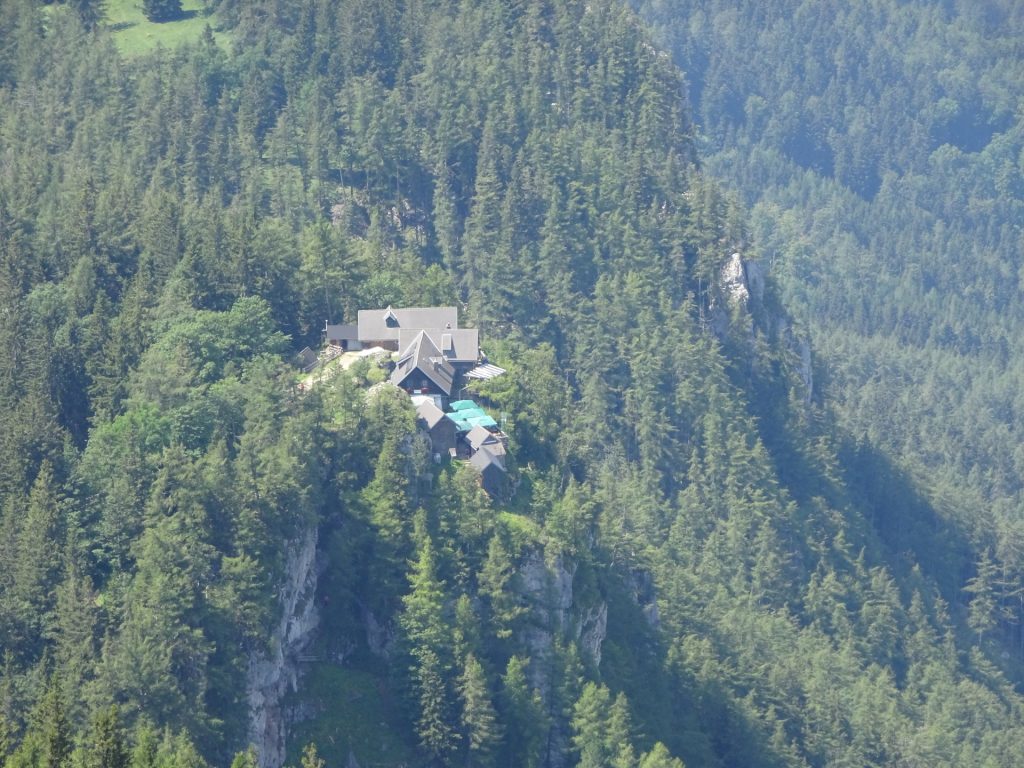
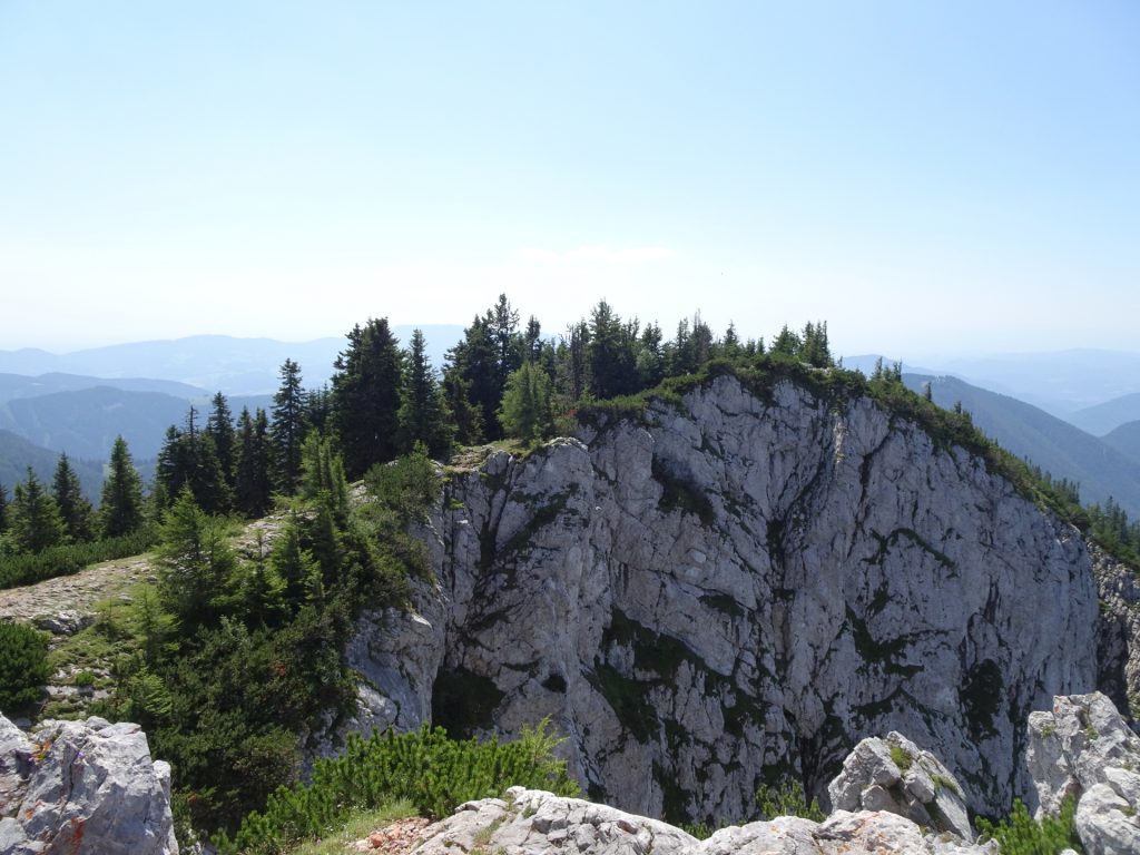
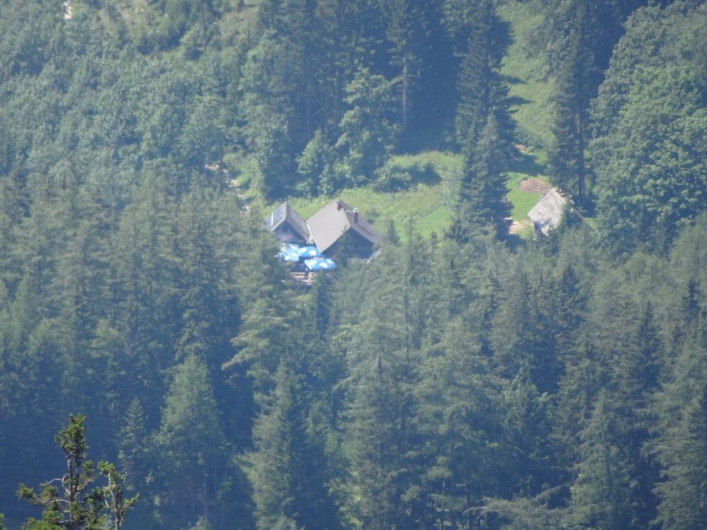
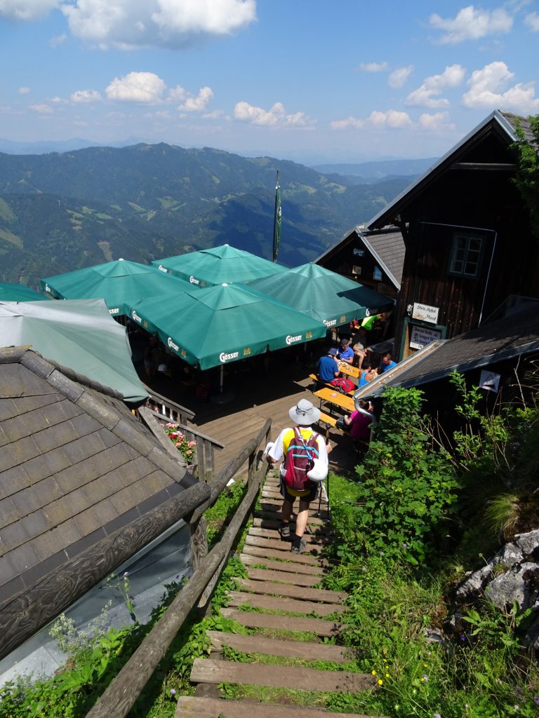
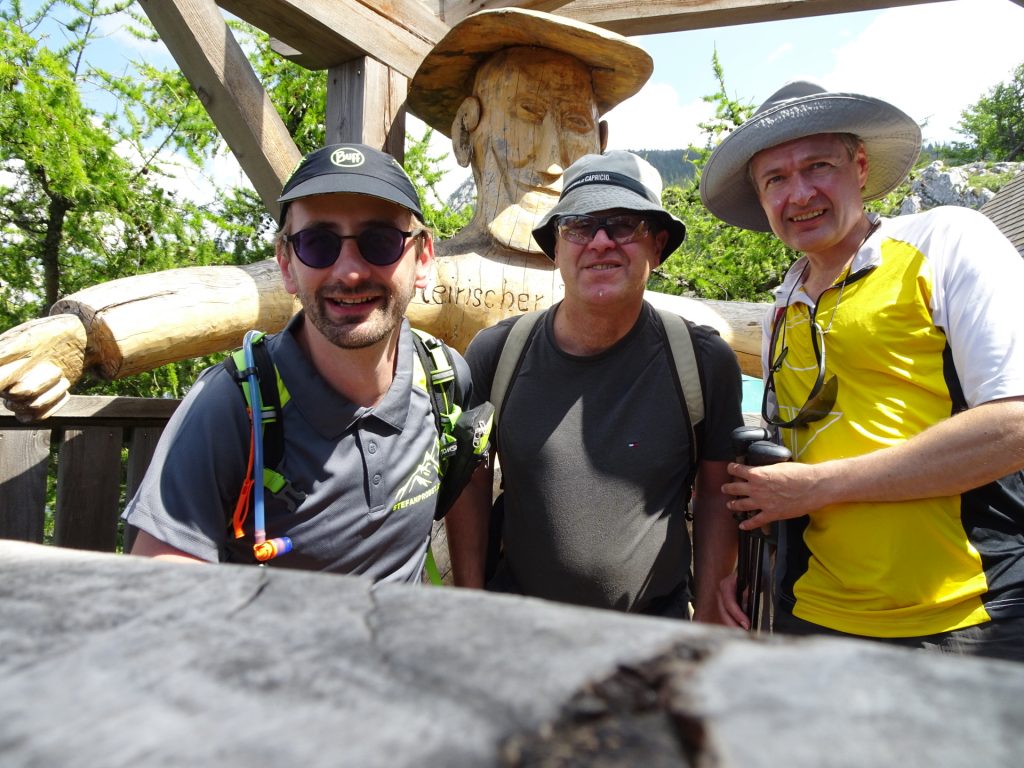
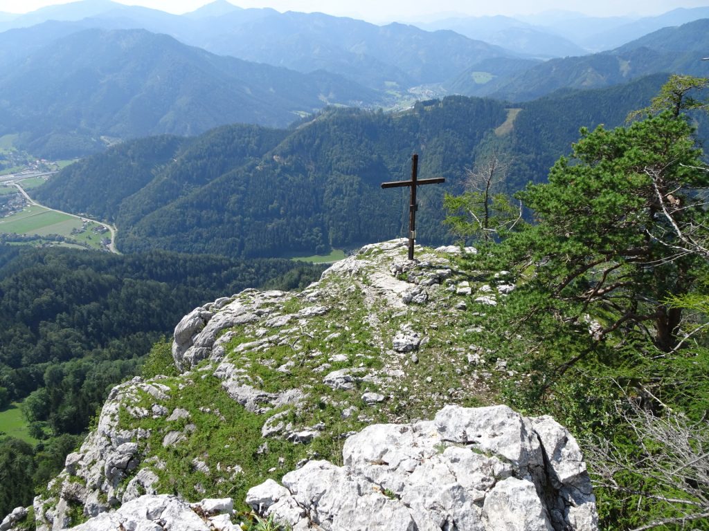
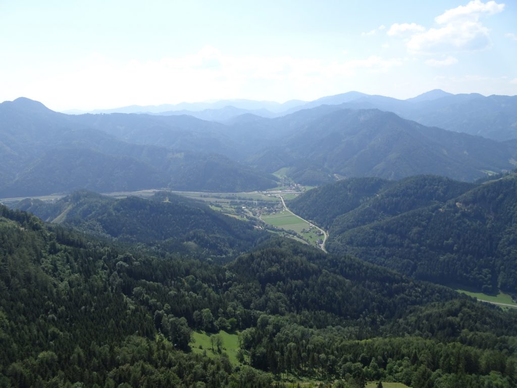
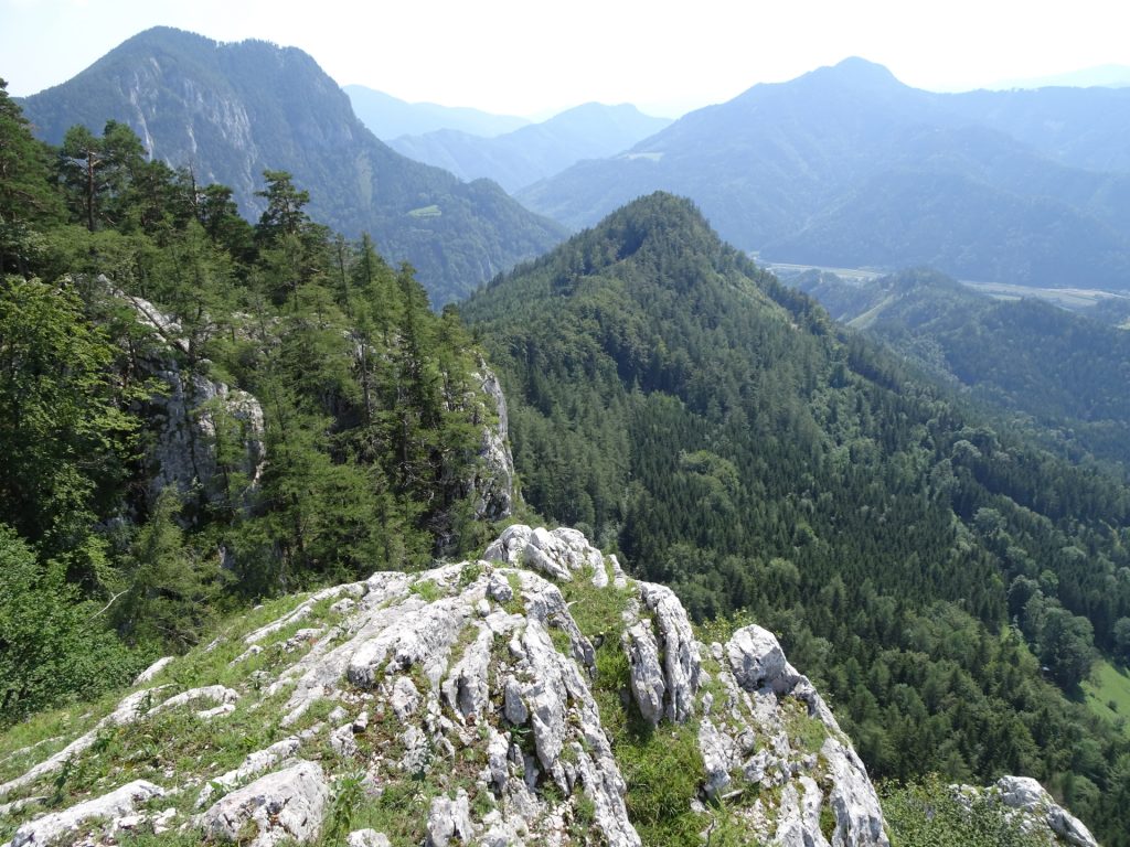
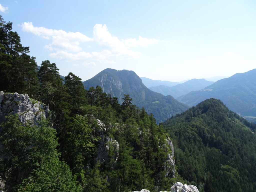
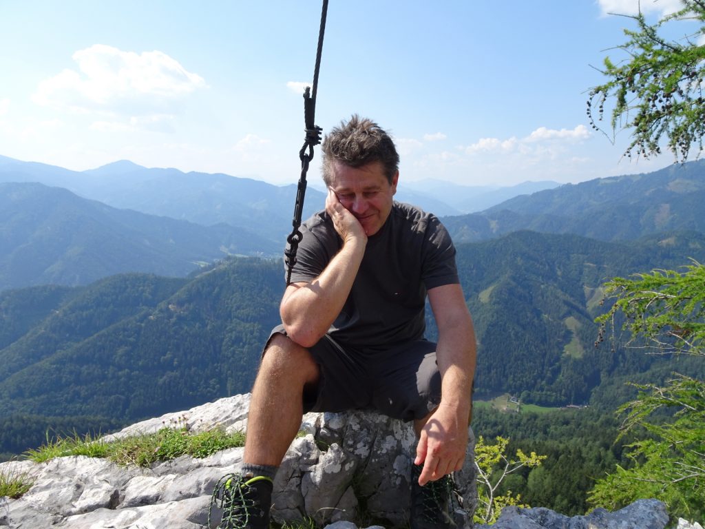
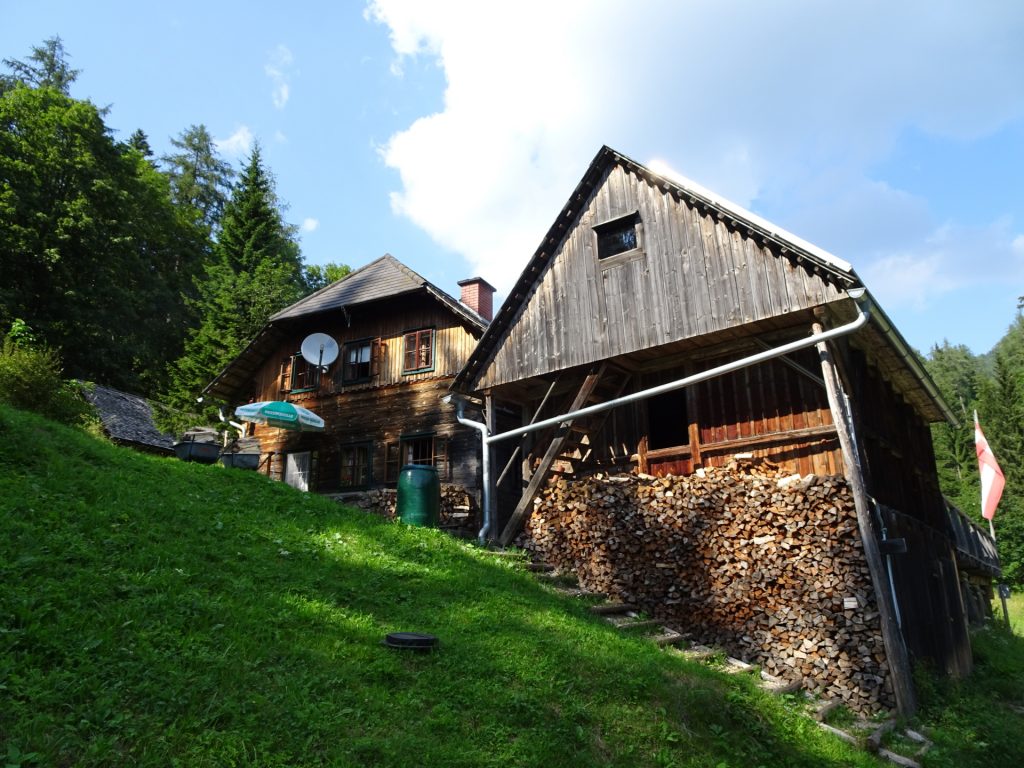
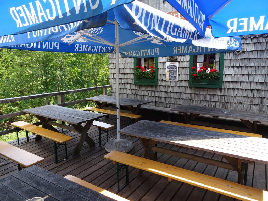
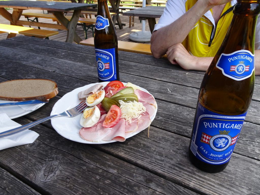
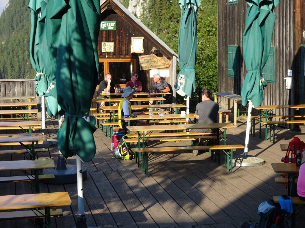
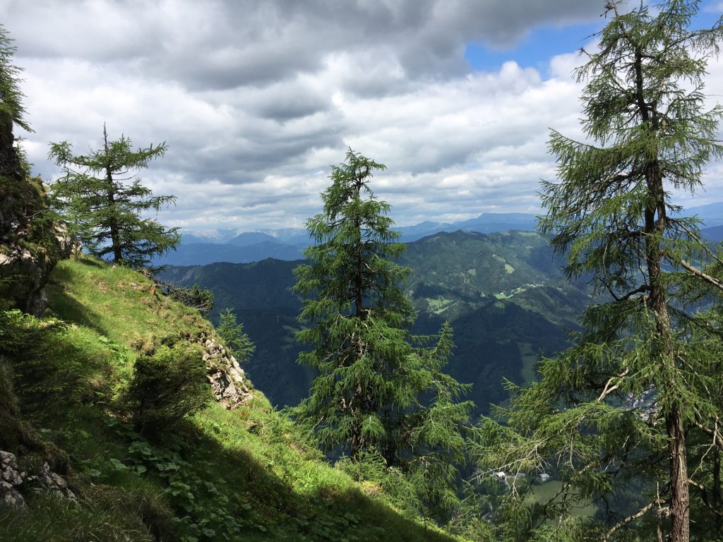
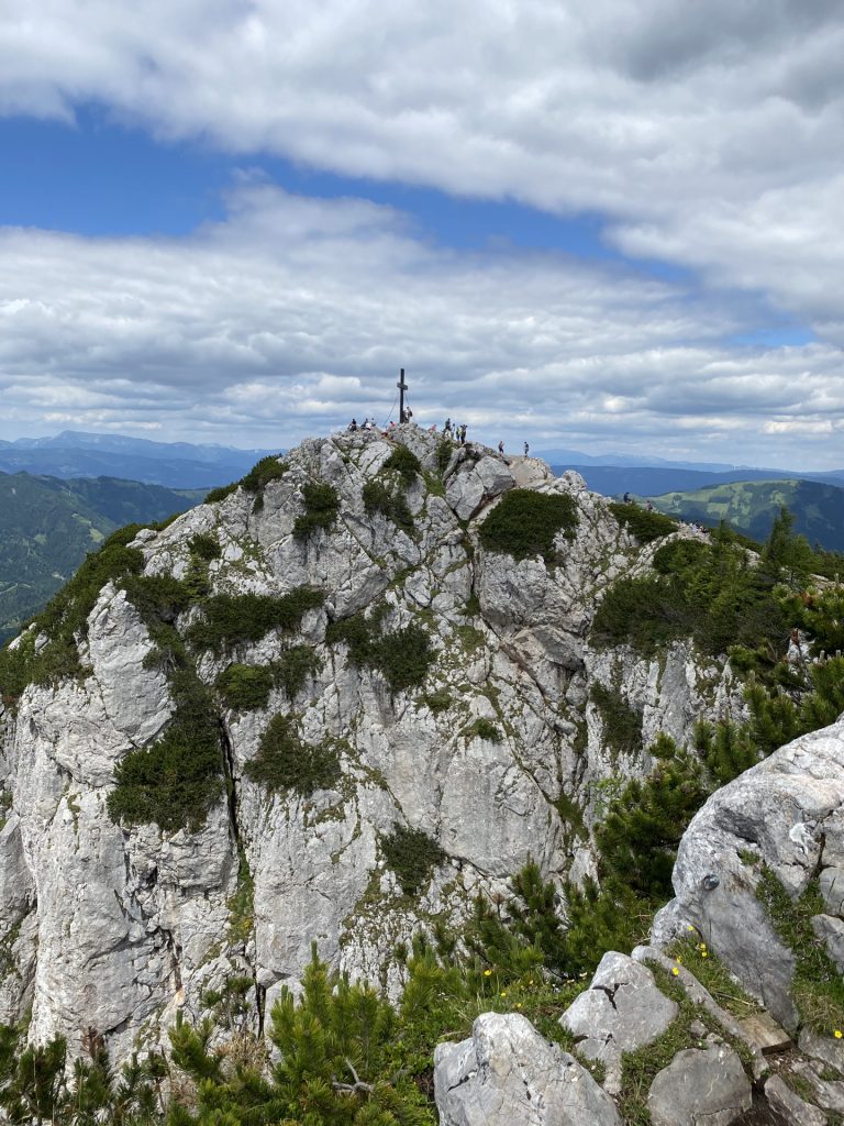
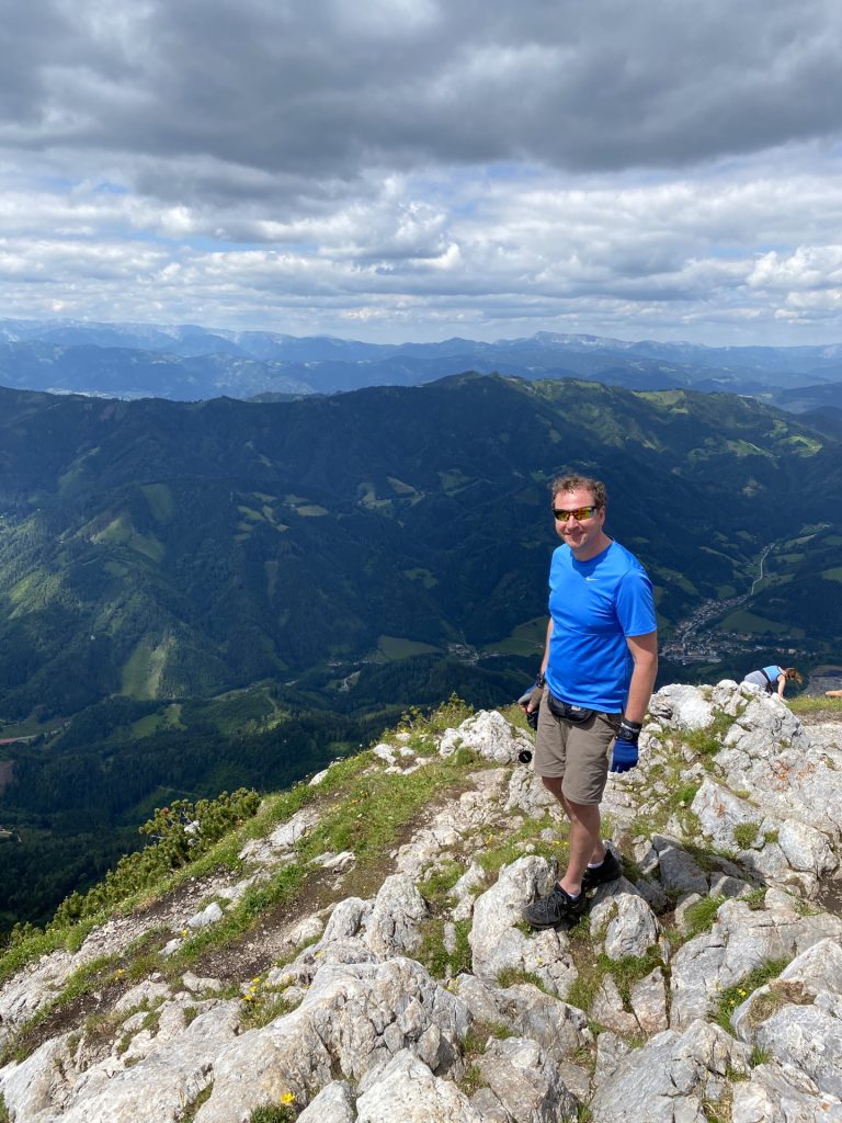
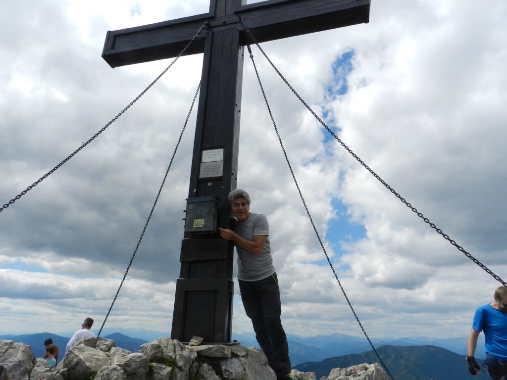
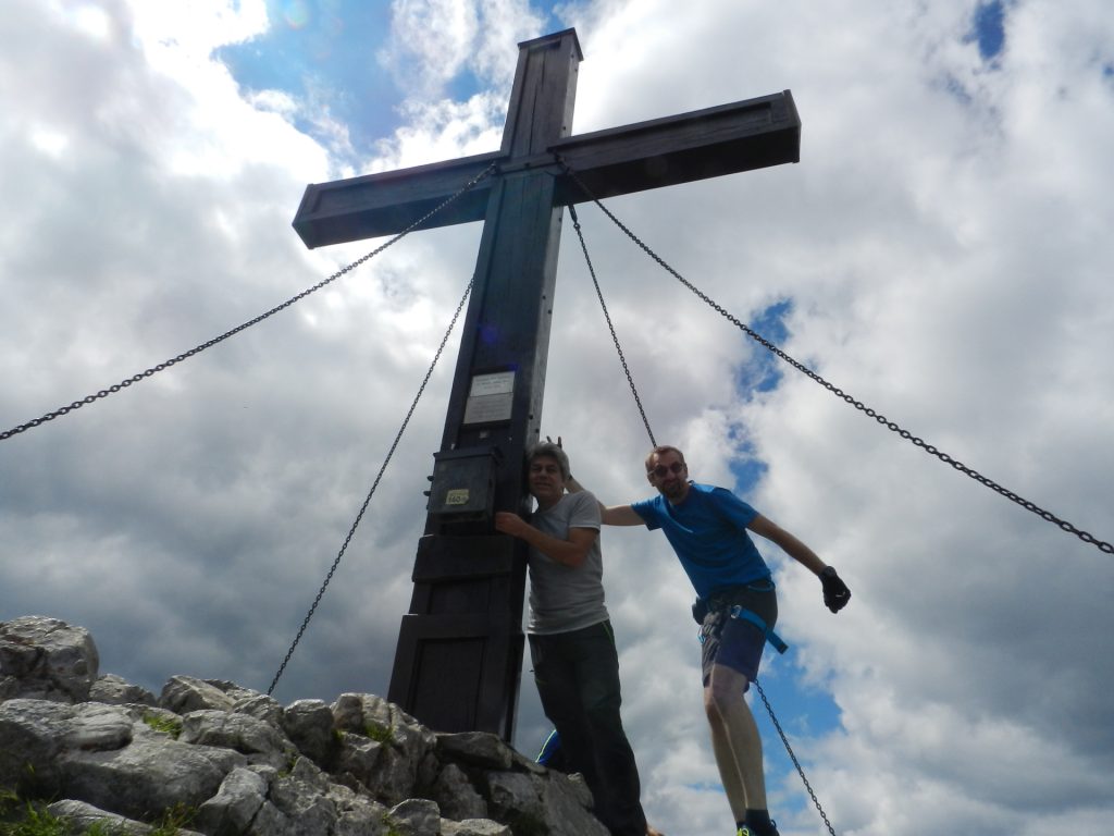
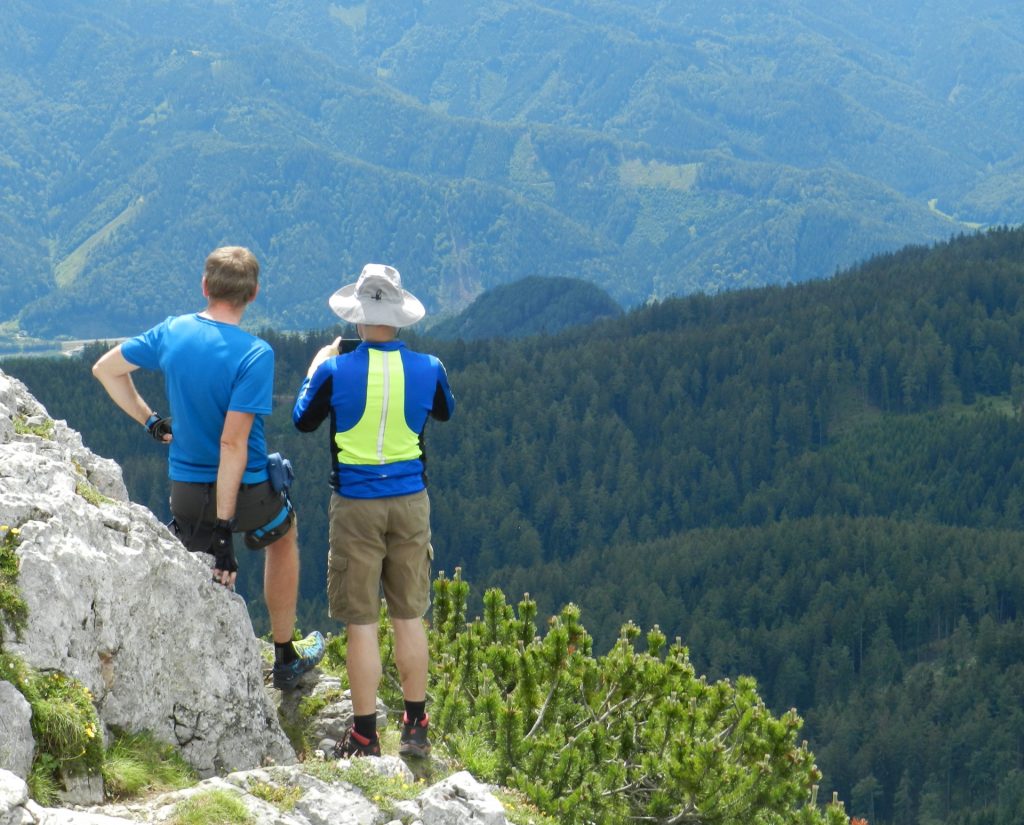
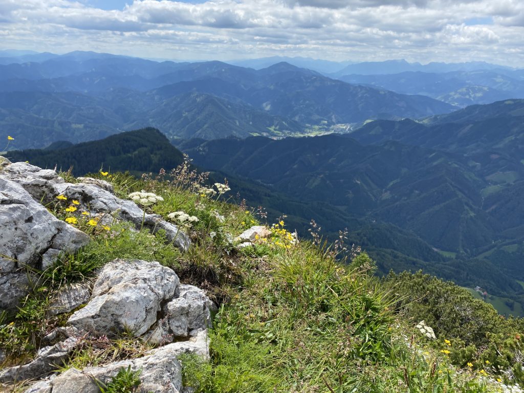
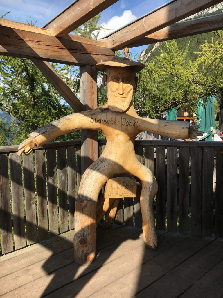
At the end of the via ferrata, the hiking trail leads up to the summit (Hochlantsch, 1717m) which allows an impressive panorama view around the Grazer Bergland. Descending back via the same trail, the tour passes the Steirischer Jokl, a very nice and homey hut offering good food and drinks. The way back is passing Schüsserlbrunn and follows the trail back to the parking.
Please note: The via ferrata was changed in 2017. The new line is more difficult than the old one, thus various misleading descriptions exist in the web. The difficulty level is now C/D!
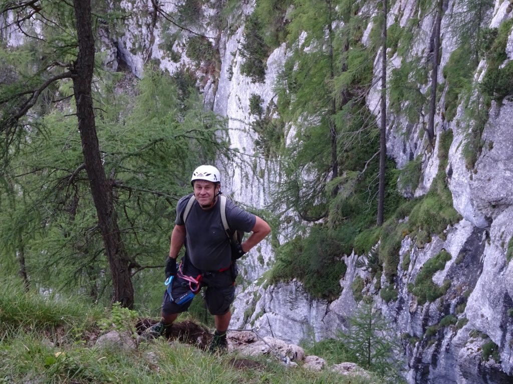
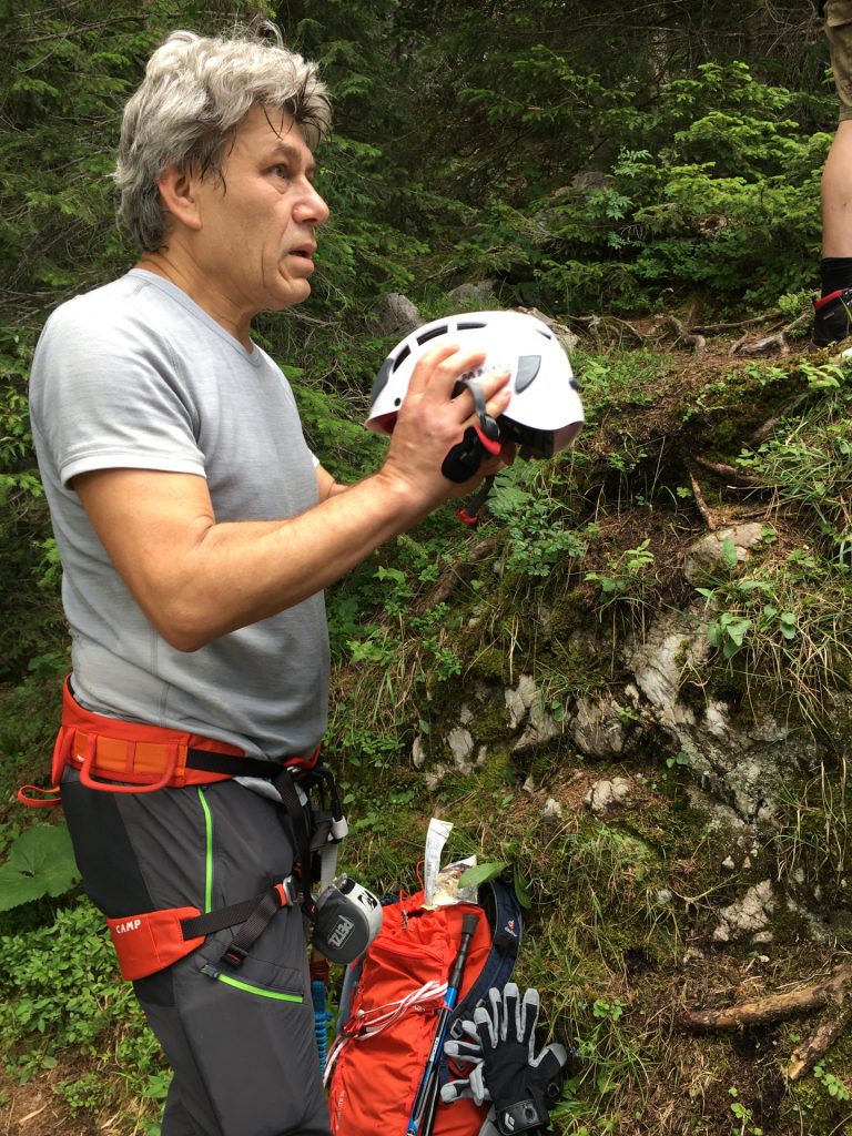
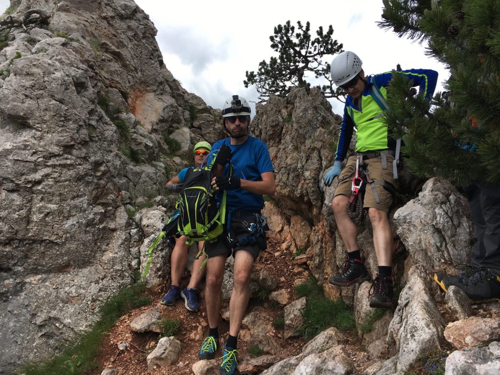
Please note that a full “Klettersteigset” (via ferrata set) is mandatory (life saving) for this tour!
Tour Description
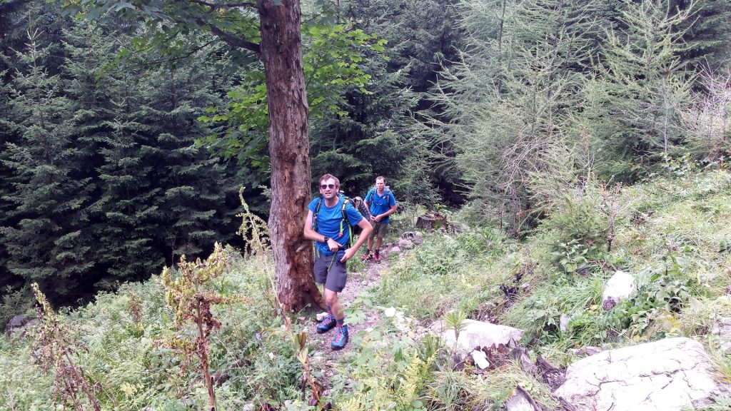
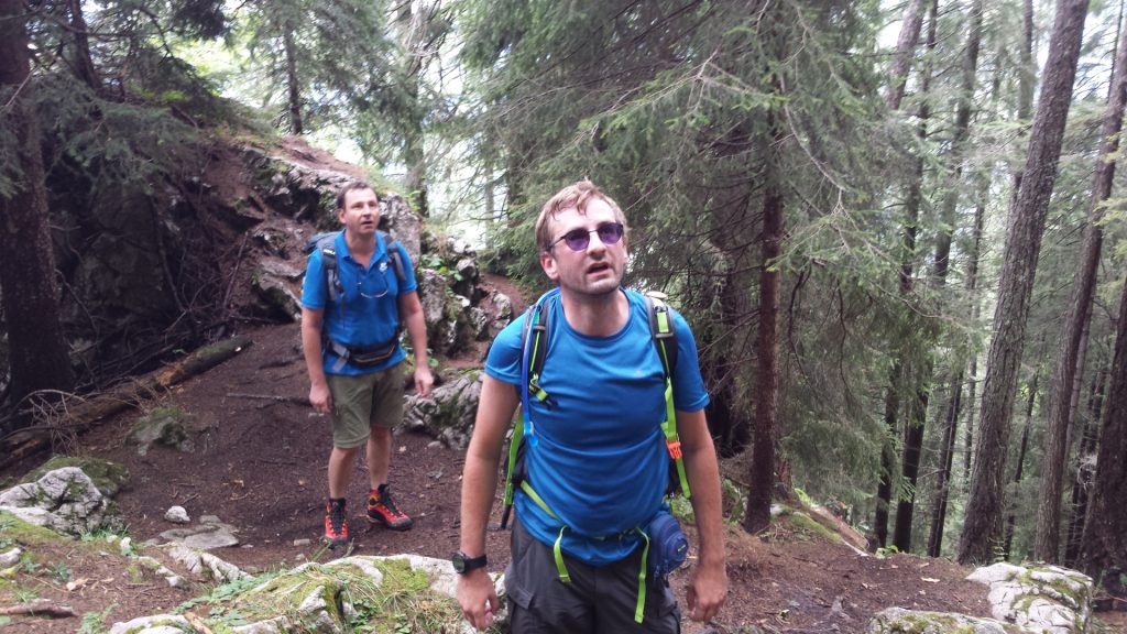
| 00:00 | Start at the parking lot Wöllingergraben Weg (GPS: 47.374226, 15.422393) and follow the trail towards Hochlantsch. |
| 00:20 | At the crossing, turn left towards the Franz-Scheikl-Steig. |
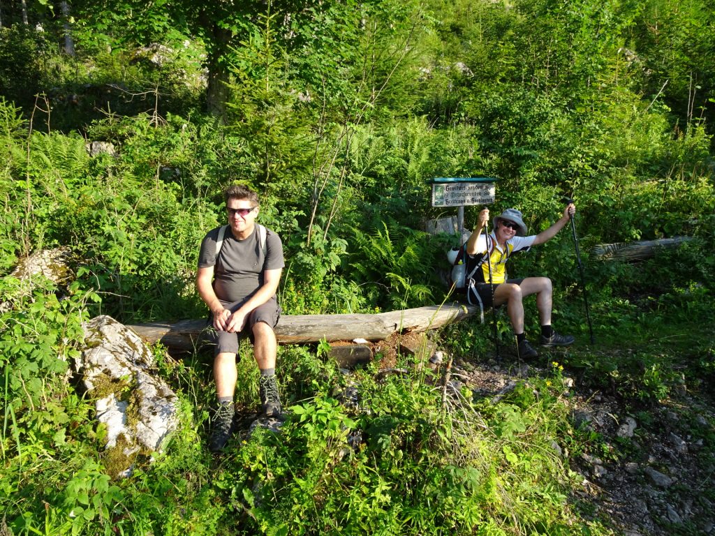
| 00:25 | The trail leads into a forest street. Turn left and follow the forest street for a few meters. |
| 00:27 | Turn right following the Naturfreunde Klettersteig signpost. |
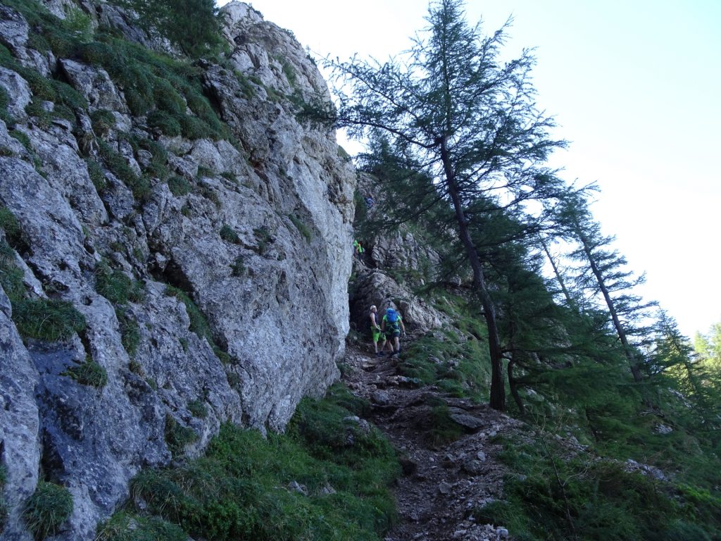
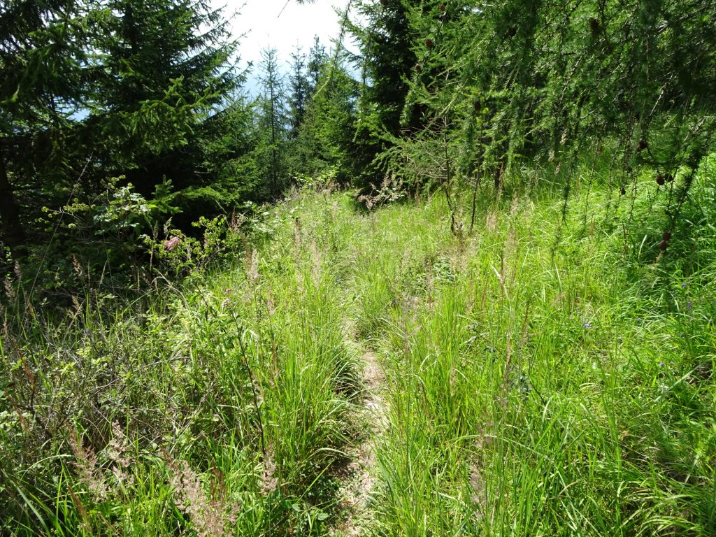
| 00:30 | Cross the forest street again and follow the trail towards the Franz-Scheikl Klettersteig. |
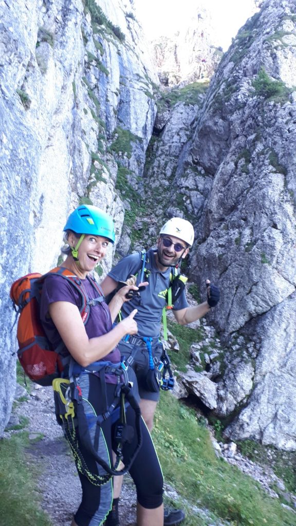
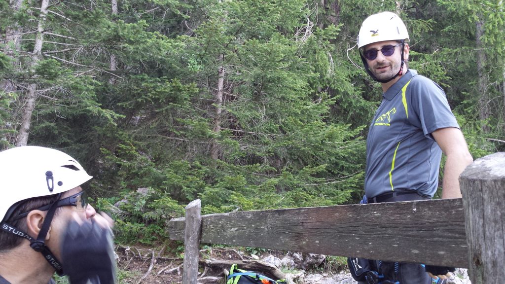
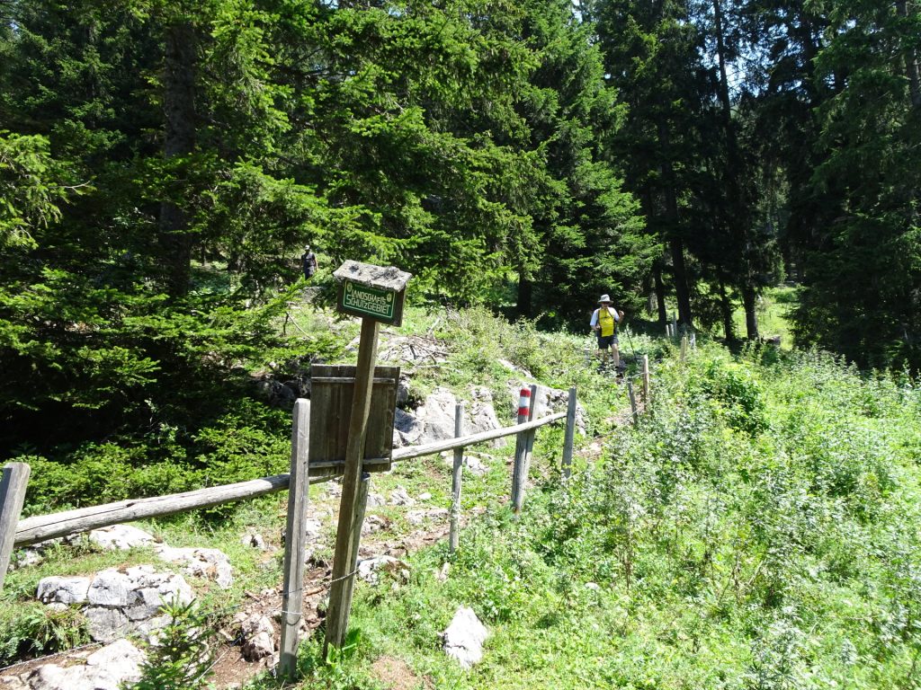
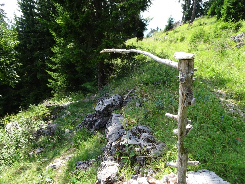
| 01:00 | After passing an old wooden hut, the entrance of the Franz-Scheikl Klettersteig is reached. Put on your via ferrata set and start the climbing following the route. |
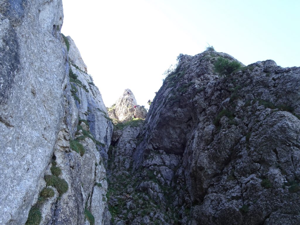
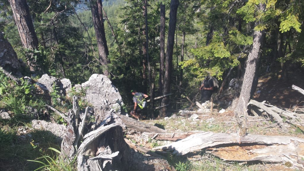
| 02:45 | The crux of the Franz-Scheikl Klettersteig. Please note that it can be bypassed following the trail on the left hand side. Consider a break before the ascent to regain strength. |
| 03:40 | At the exit of the Via Ferrata, turn left and follow the trail towards Hochlantsch. |
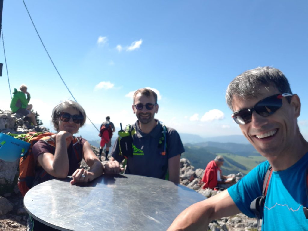
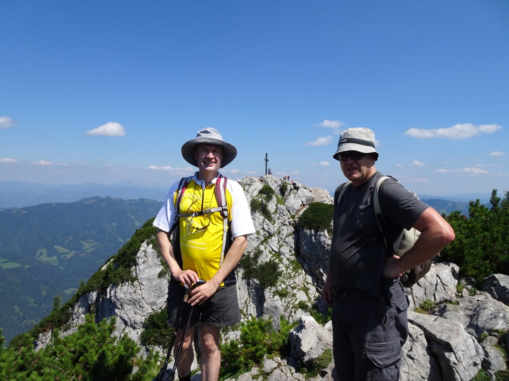
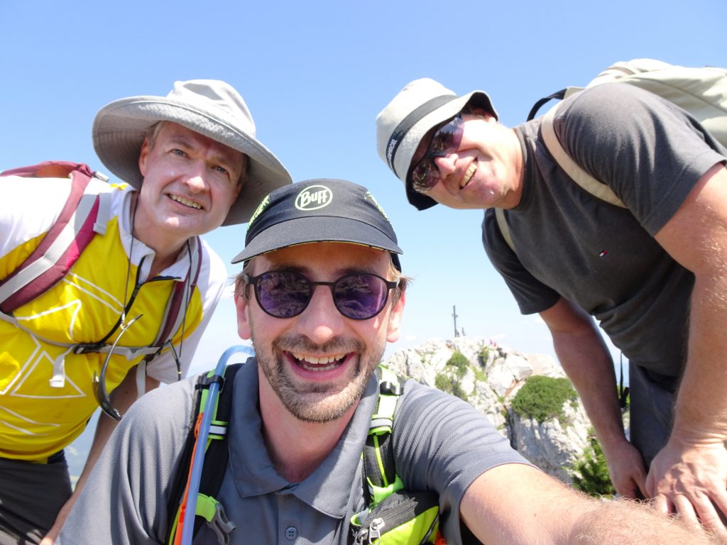
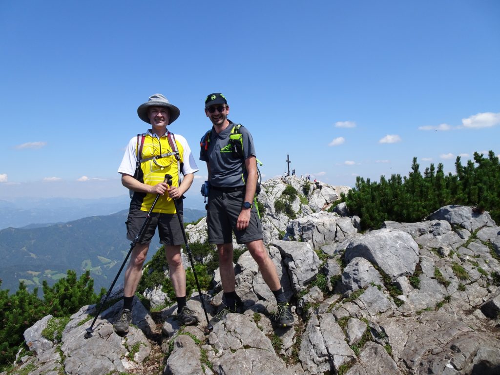
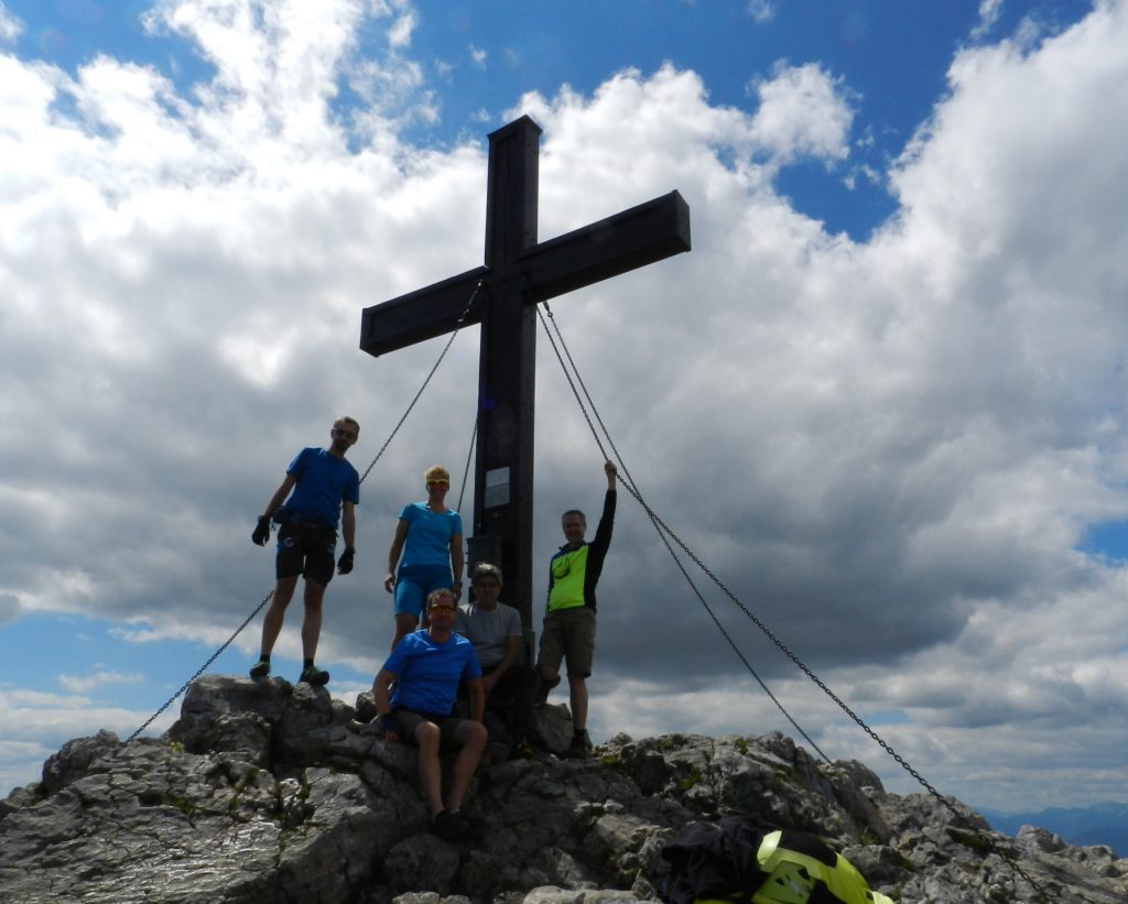
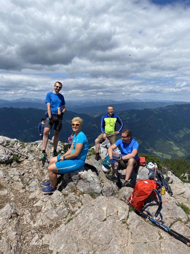
| 03:55 | Enjoy the awesome panorama view at the summit of Hochlantsch with a self brought drink (). |
| 04:30 | Follow the trail back (towards Steirischer Jokl). |
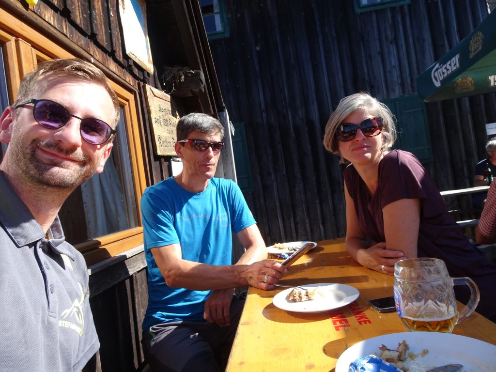
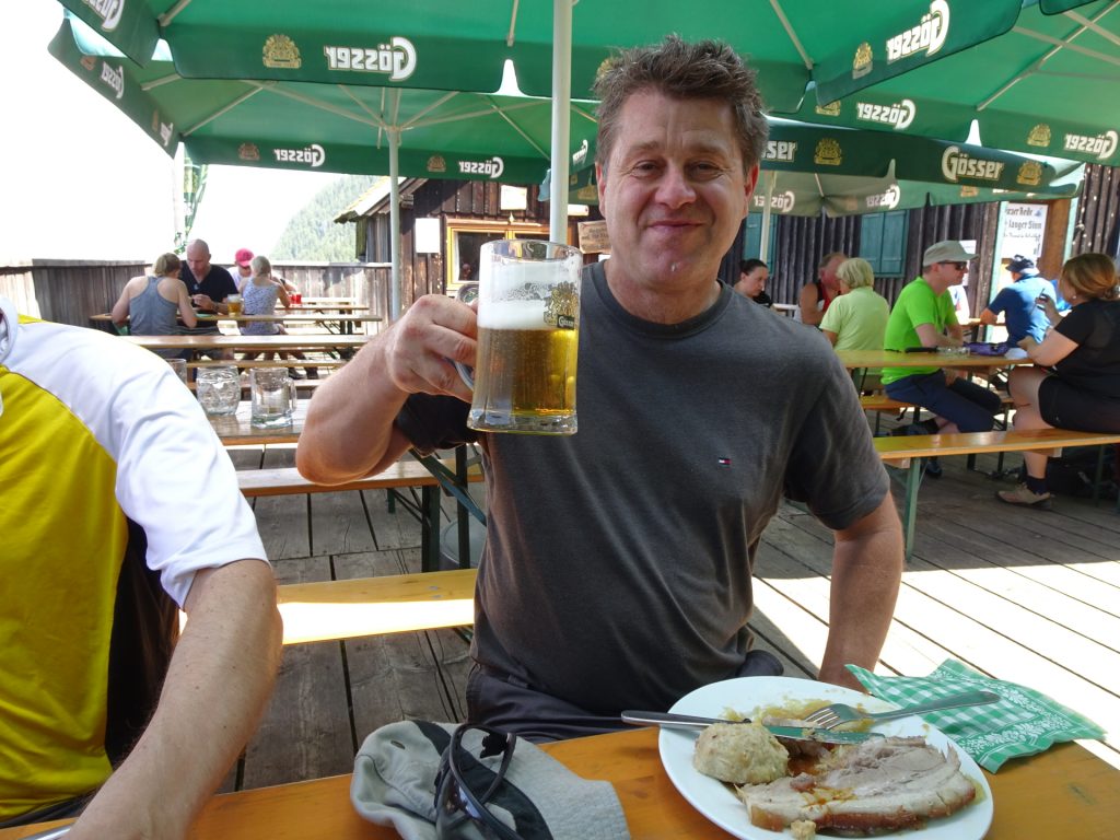
| 05:20 | Well deserved break () at Steirischer Jokl. |
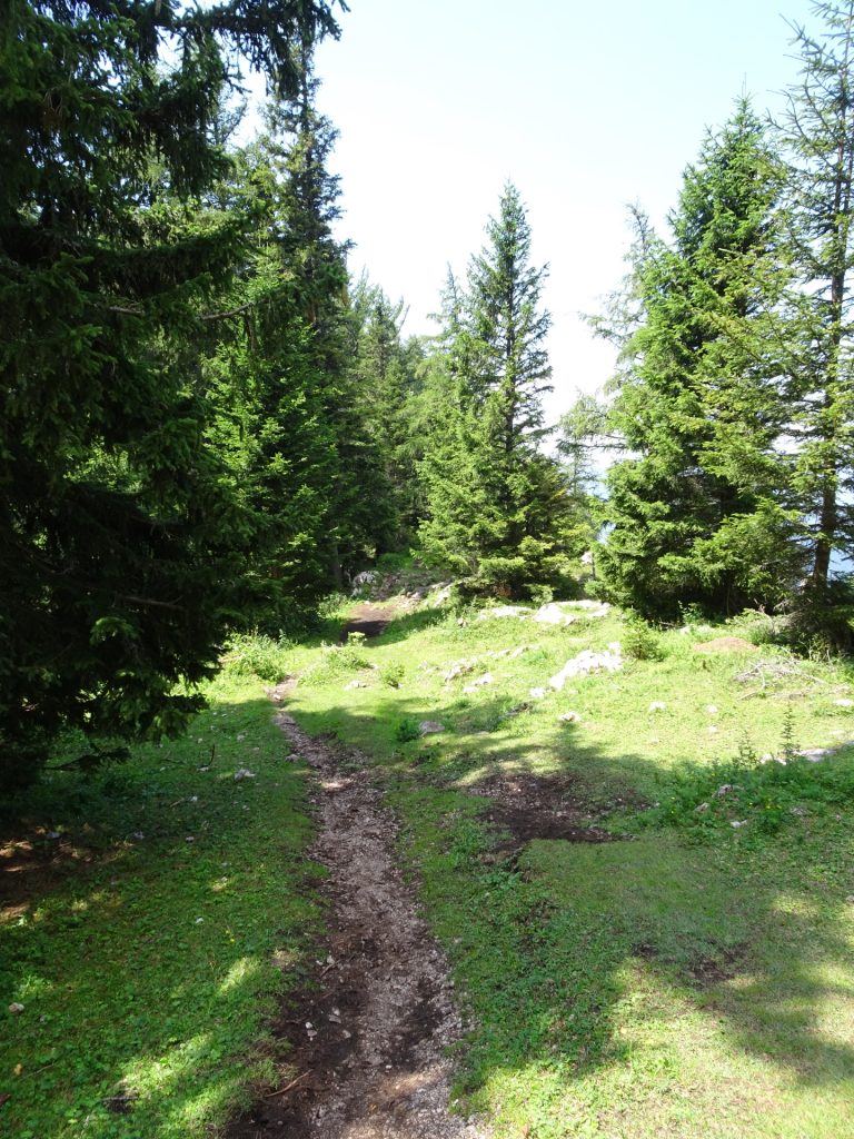
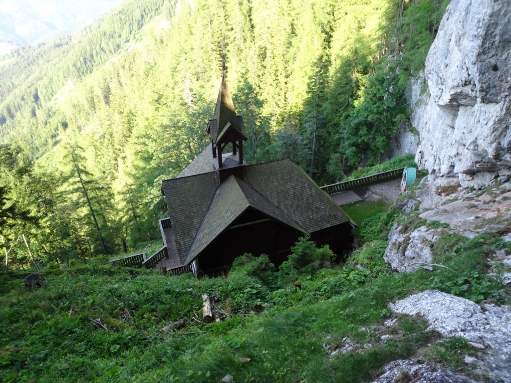
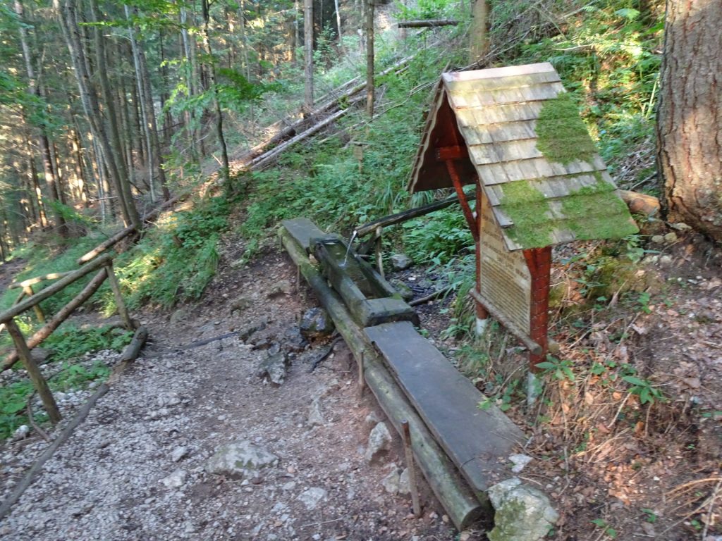
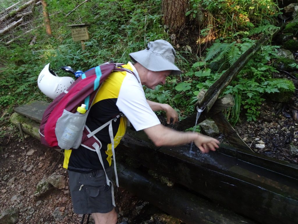
| 06:40* | Follow the trail towards Schüsserlbrunn (small church) and descend via this easy hiking trail. |
| 07:00* | Cross the street and continue on the trail. |
| 07:10* | Cross the street again and follow the trail. |
| 07:15* | At the crossing towards the Franz-Scheikl-Klettersteig, follow the trail (same trail as ascending). |
| 07:35* | Back at the car parking. |
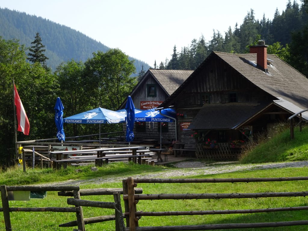
The tour can be extended (~ 10 hours in total) by descending towards Guter Hirte and then following the trail towards Rannerwand (see GPX track for details).
| 06:20 | Descend via the forest road and trail towards Guter Hirte. |
| 06:35 | At the crossing, turn right into the trail and follow the small trail through the forest. |
| 06:43 | Bypass the Guter Hirte and follow the Prügelweg (forest road) |
| 06:47 | At the crossing, turn right into the forest street. |
| 07:06 | Follow the road (left hand side) and turn left into the trail towards Rannerwand viewpoint. |
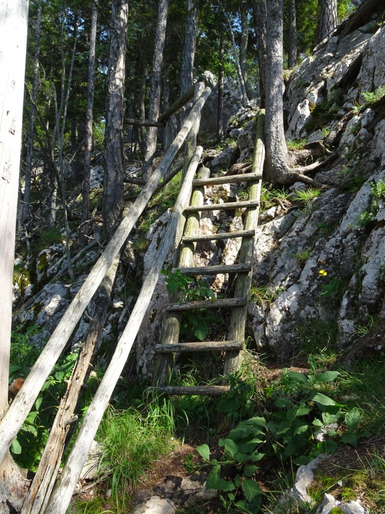
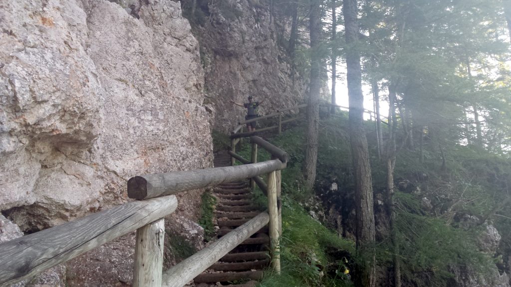
| 07:30 | Descend the wooden ladder to the Rannerwand viewpoint. Enjoy the view with a self-brought refreshment (). |
| 07:45 | Walk back on the same trail towards Guter Hirte and Steirischer Jokl. |
| 08:40 | Break at the Steirischer Jokl, enjoy the sunset (). |
| 10:30 | Using a head lamp, follow the trail towards Schüsserlbrunn (small church) and descend via this hiking trail. |
| 11:40 | Back at the car parking. |
General Tour Data
| Area: | Grazer Bergland, Styria, Austria | |
| Distance: | 14km | |
| Ascent: | 798m (2h 50min) | |
| Descent: | 786m (1h 45min) | |
| Highest Pt: | 1707m | |
| Lowest Pt: | 964m | |
| Duration: | 6h 15min (without breaks) 7h 35min (with breaks) |
|
| Stop/Rest: | Steirischer Jokl (1398m) Guter Hirte (1209m) |
|
| Equipment: | Via ferrata set incl. helmet Hiking shoes with good grip (on rock) Backpack with standard hiking equipment Snacks and plenty of water 1x “Gipfelbier” () Sun & Weather protection Camera |
|
| Topo/Map: | Franz-Scheikl-Naturfreunde (C/D) |
| Download GPX (incl. Rannerwand) | ||
| O | Tour at outdooractive.com |
At a glance
| Level | moderate-difficult |
| – Via Ferrata Category | C/D |
| Technique | |
| Shape / Fitness | |
| Experience | |
| Scenery | |
| Best time in the year | |
|
Jan
Feb
Mar
Apr
May
Jun
Jul
Aug
Sep
Oct
Nov
Dec
|
|
Tour Diary
2020-09-09 09:30
| Weather: | sunny, perfect | |
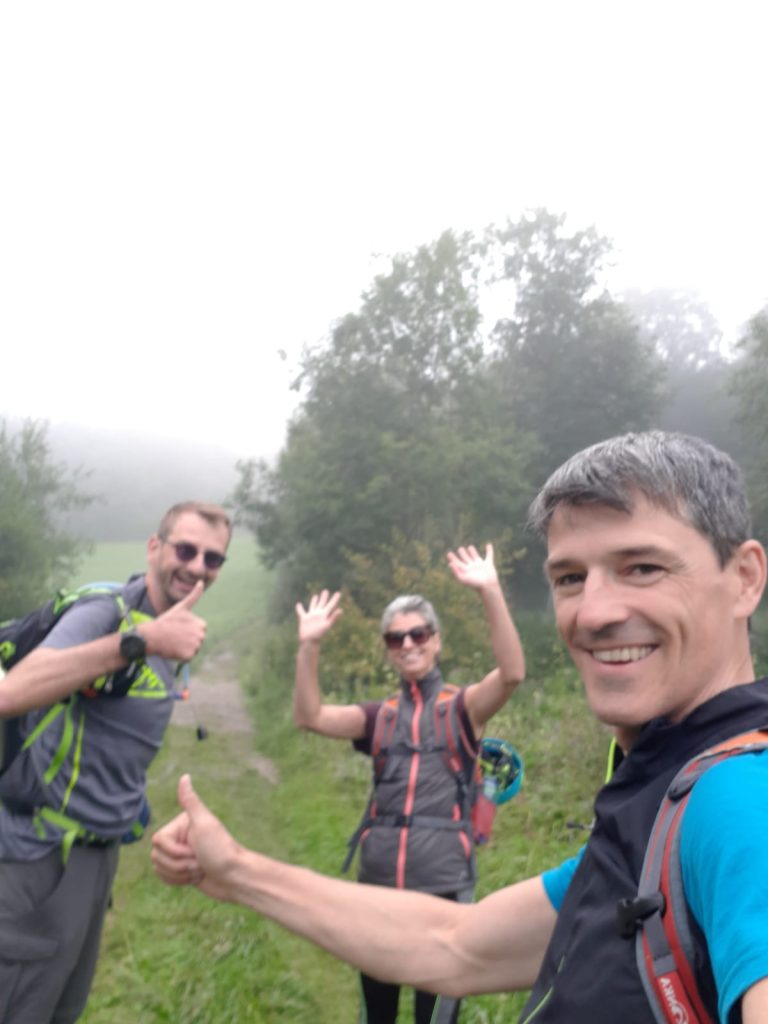
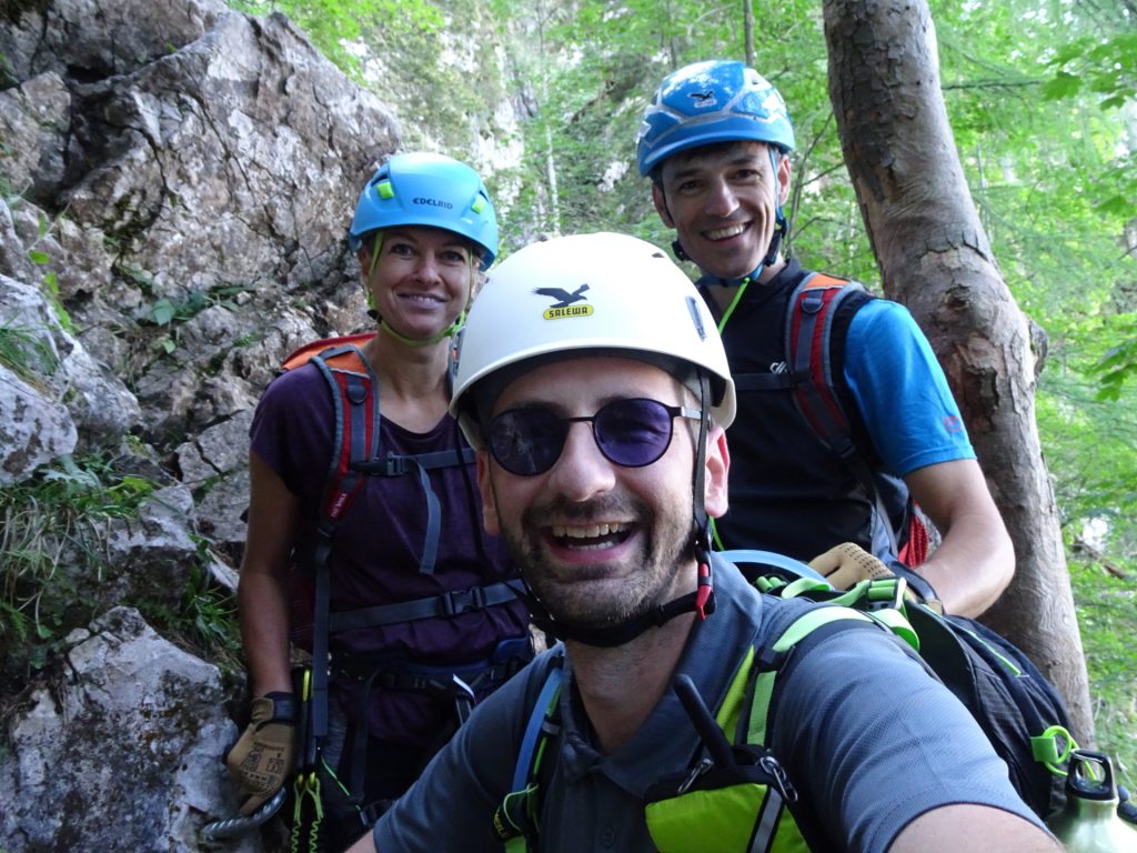
| Participants: | Stefan, Thomas, Marion | |
| Activity: | Suunto | |
| Comment: | We did the short variant (Franz-Scheikl-Steig, Hochlantsch Summit). |
2020-08-08 09:00
| Weather: | sunny, hot, perfect | |
| Participants: | Stefan, Herbert, Robert | |
| Activity: | Suunto | |
| Comment: | We did the long variant including Rannerwand. |
2020-07-04 10:00
| Weather: | mostly sunny (some clouds) | |
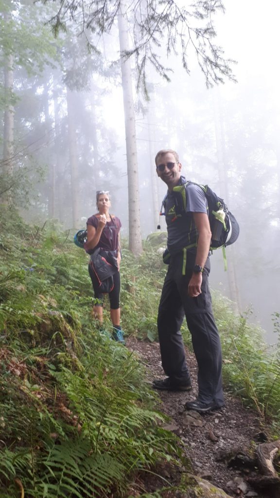
| Participants: | Stefan, Hannes, Herbert, Nader, Nadja | |
| Activity: | Suunto | |
| Comment: | We used the short variant and head back towards the parking after Steirischer Jokl. |











































































sEvenbites
I’m extremely inspired together with your writing abilities as well as with the structure on your blog.
Is that this a paid theme or did you customize it your self?
Either way stay up the nice quality writing, it’s rare to see a great
weblog like this one today..
Stefan Probst
Thanks :-).
I’m using the Virtue theme by Kadence Themes (the free version) and customized it in order to fit my needs.