
Extremely promising tour up to the Cima Pisciadù using the Via Ferrata Tridentina (C) and descent via the Mittagstal
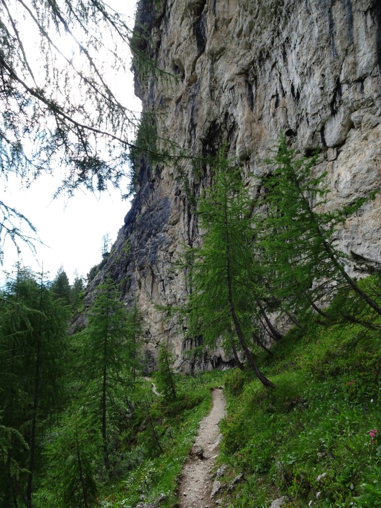
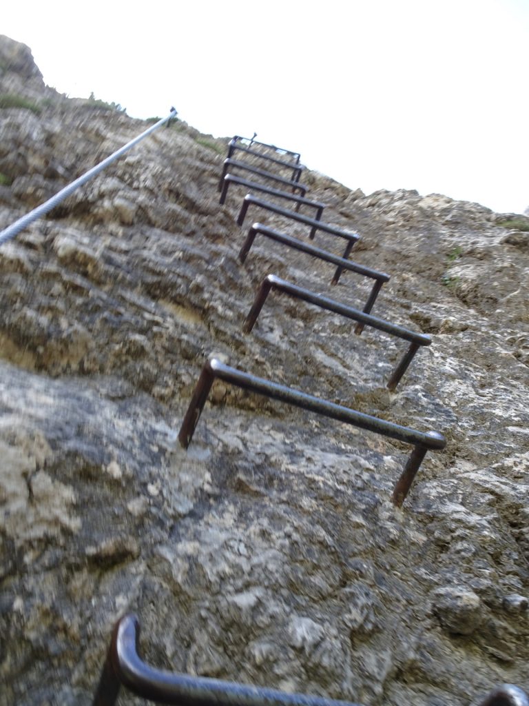
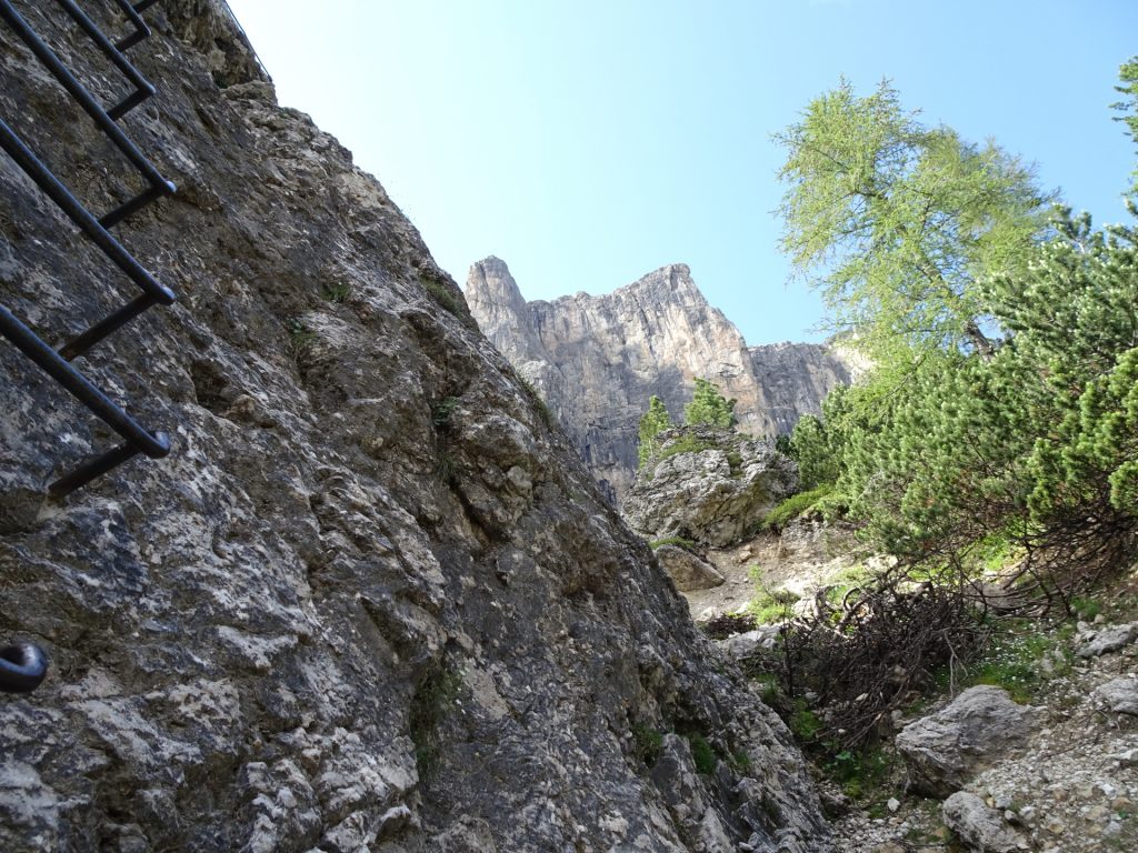
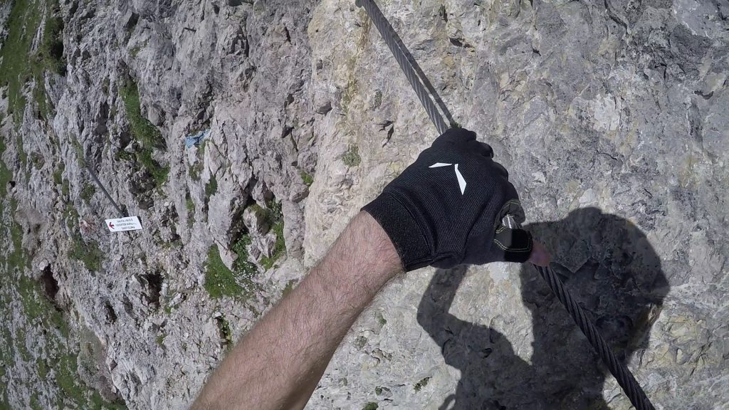
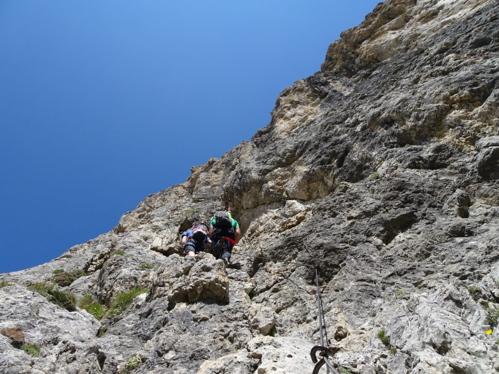
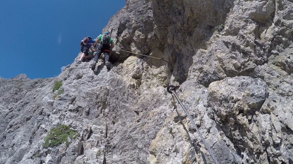
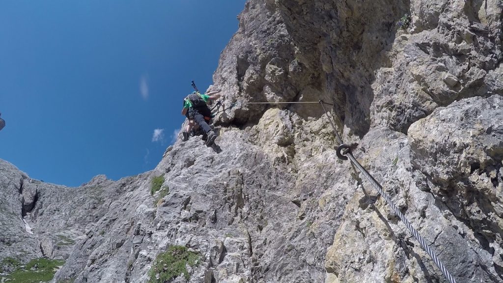
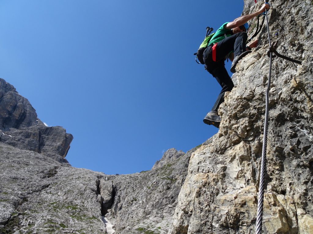
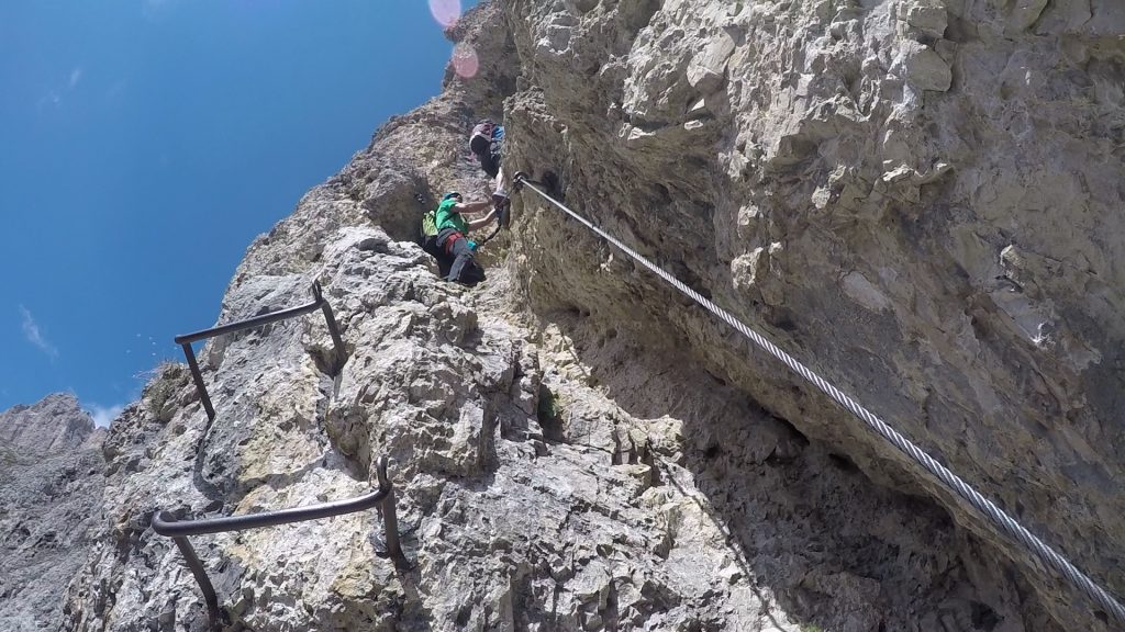
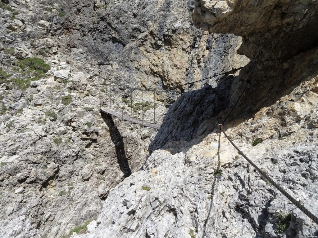
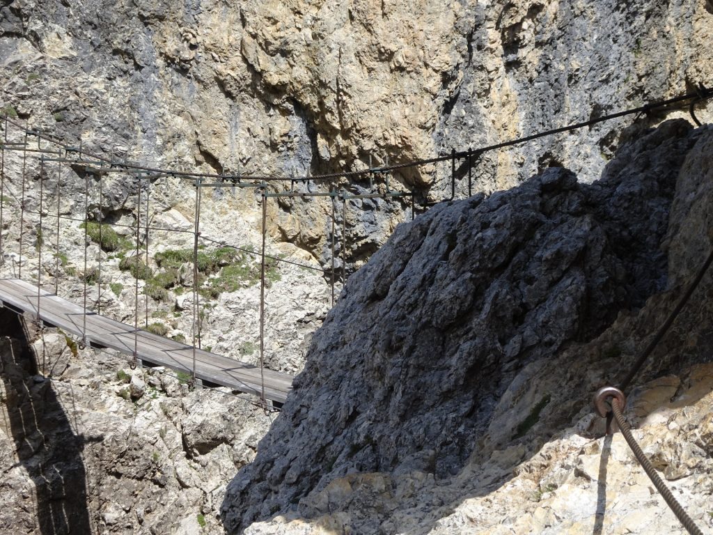
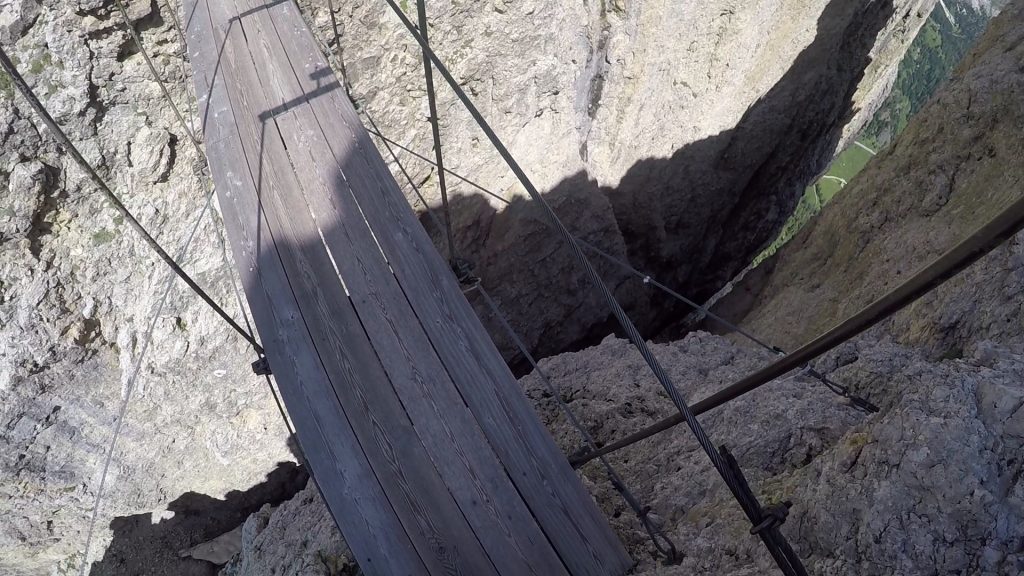
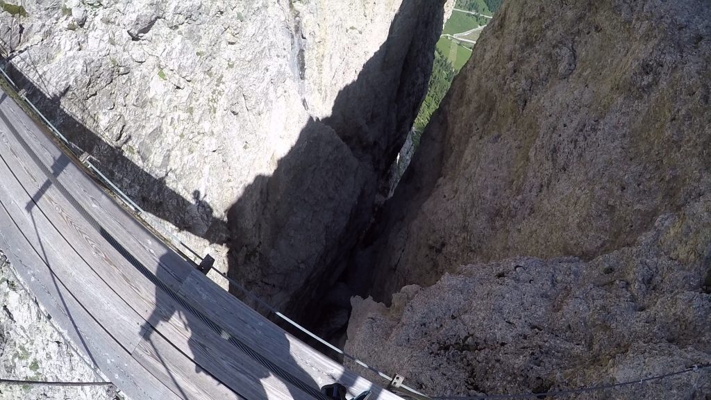
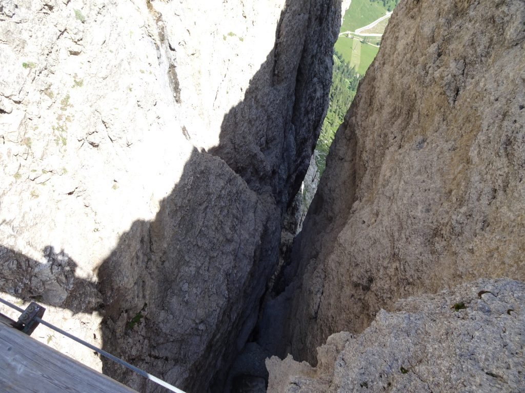
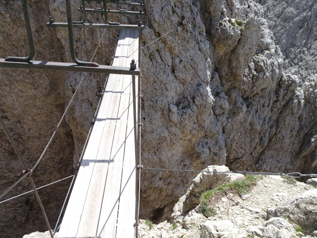
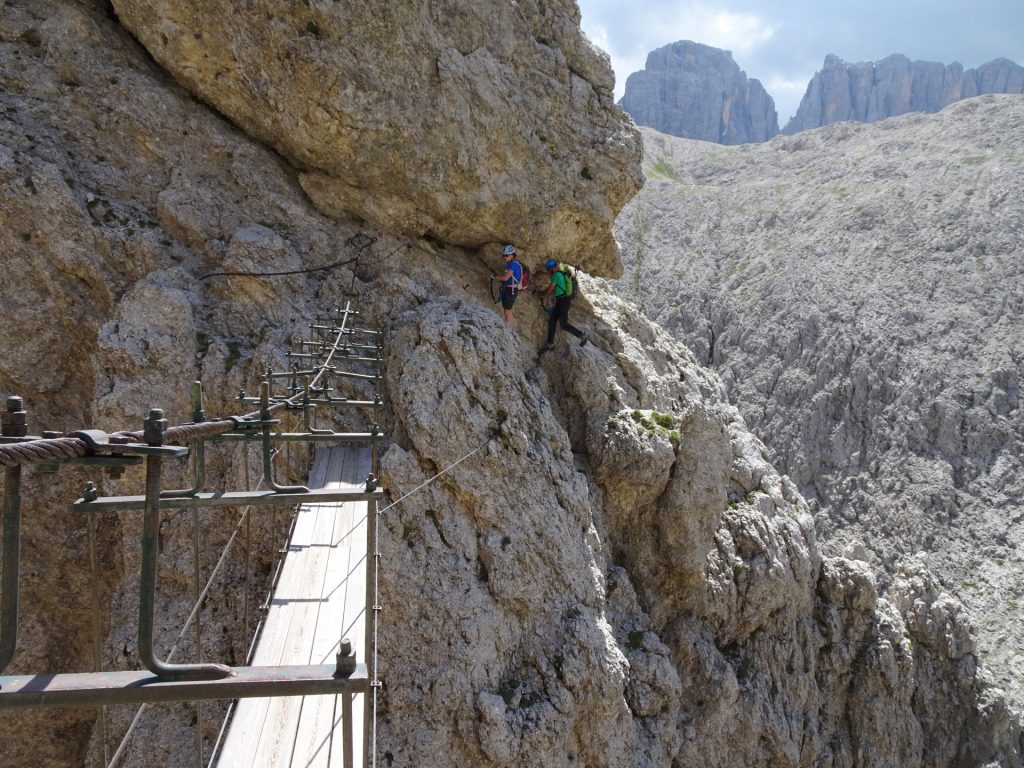
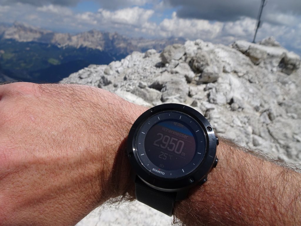
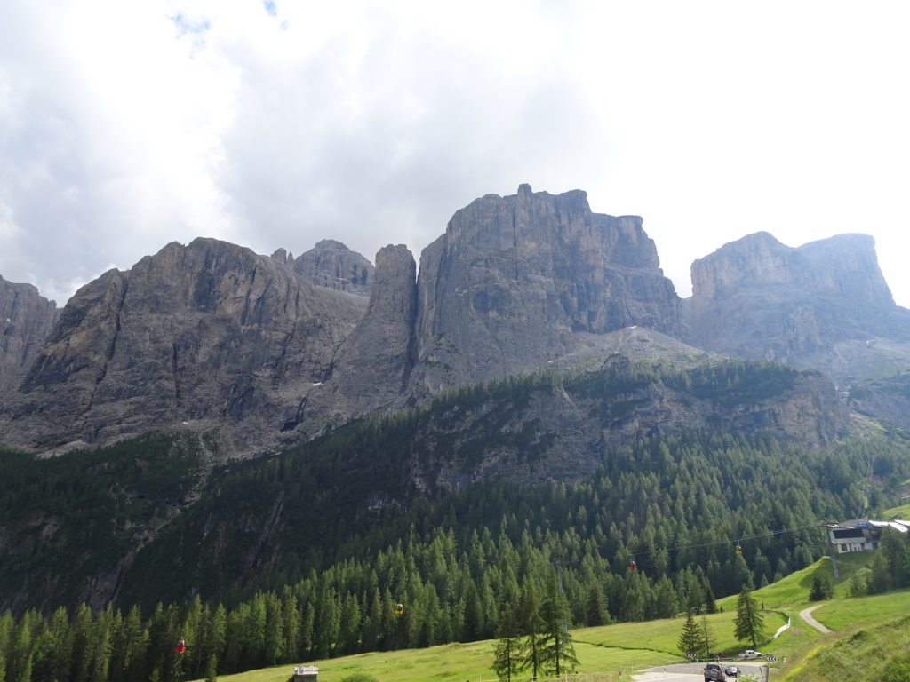
This very long but extremely promising tour starts at the parking Piazzale via Ferrata Brigata Tridentina (GPS: 46.547351, 11.821225) and first follows the route 666 downwards to the valley (straight ahead). After passing a gate and keep straight (don’t use route 666A!), the first part of the Via Ferrata Tridentina starts (B). After mastering the first part, the route leads through an impressive landscape (ravine, mountain pasture), following the route 29 which leads to the second part of the via ferrata. At the crossing, follow the signposts towards Pisciadu Via Ferrata till reaching the start of the second part of the via ferrata (B/C). This part is already much more exposed and sometimes slightly overhanging, so a good portion of technique and energy is required. After mastering the second part, there is an emergency exit – use this if you don’t bring up the energy, techniques and skills for the third part! The third part (C) is tricky, requires strength and is also tricky for short people since it often requires bridging steps and becomes very steep but rewards with crossing the iconic bridge between the Exner and Brunecker rocks. The route then leads to the Rifugio Franco Cavazza al Pisciadù hut and after a refreshing break, following the route 666 up to the Cima Pisciadù (2985m). The descent is following first the same route back to the hut but then follows the route 676 towards the Mittagstal. Also here a sure foot and technique is required. At the crossing, turn left and follow the route 651, going along next to impressive waterfalls, back to the valley. At the crossing, turn left and follow the Waterfall path back towards the parking. A detour to the Pisciadu waterfalls is strongly recommended (can’t be missed when following the route). At the crossing, turn left and follow the route 650 which leads directly back to the parking.
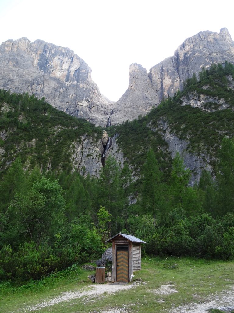
| 00:00 | Start at the parking lot Piazzale via Ferrata Brigata Tridentina (GPS: 46.547351, 11.821225). Head westwards (pass overview map) and follow the route 666. It is recommended to put on the via ferrata set (“Klettersteigset”) already here. |
| 00:01 | At the crossing, stay straight and follow the trail towards the gate. |
| 00:02 | Pass the gate and stay straight on the route. |
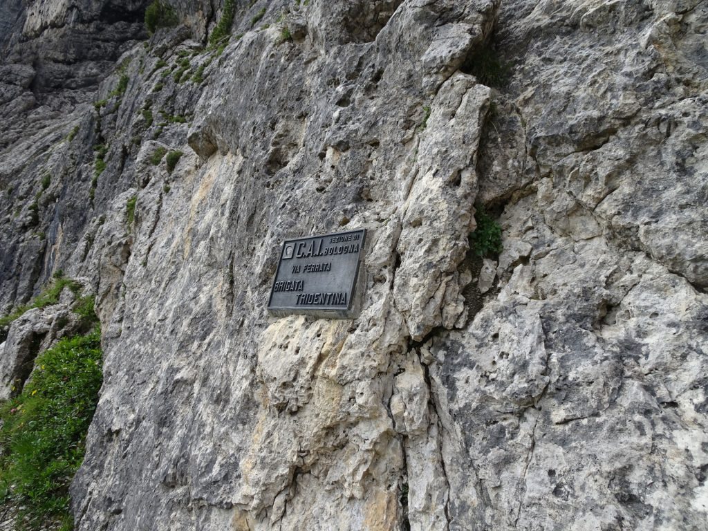
| 00:05 | Stay straight and climb the first part of the via ferrata (B) upwards (starts right hand-side). |
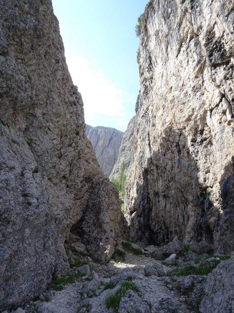
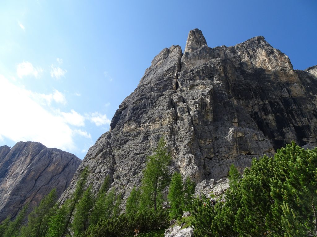
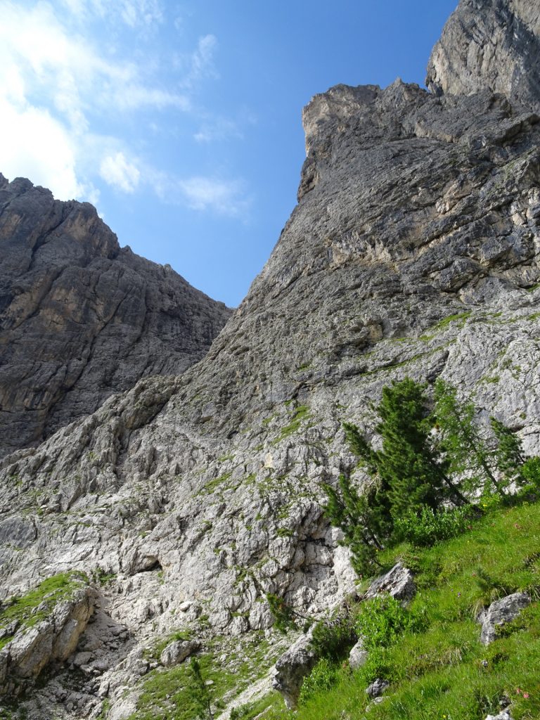
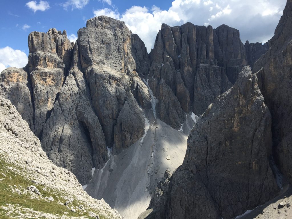
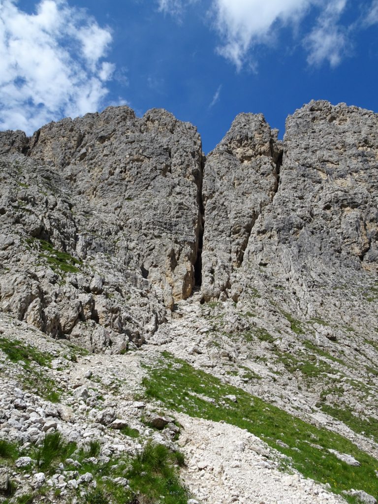
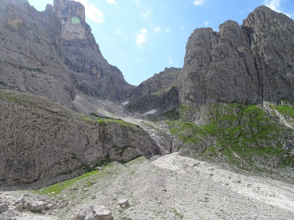
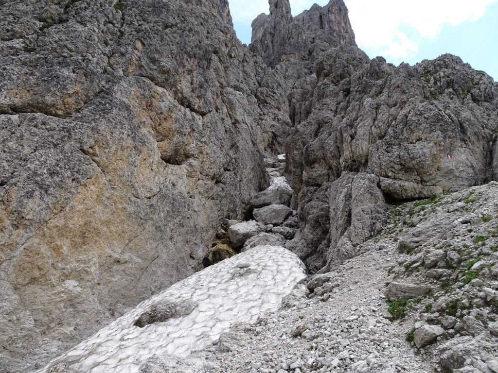
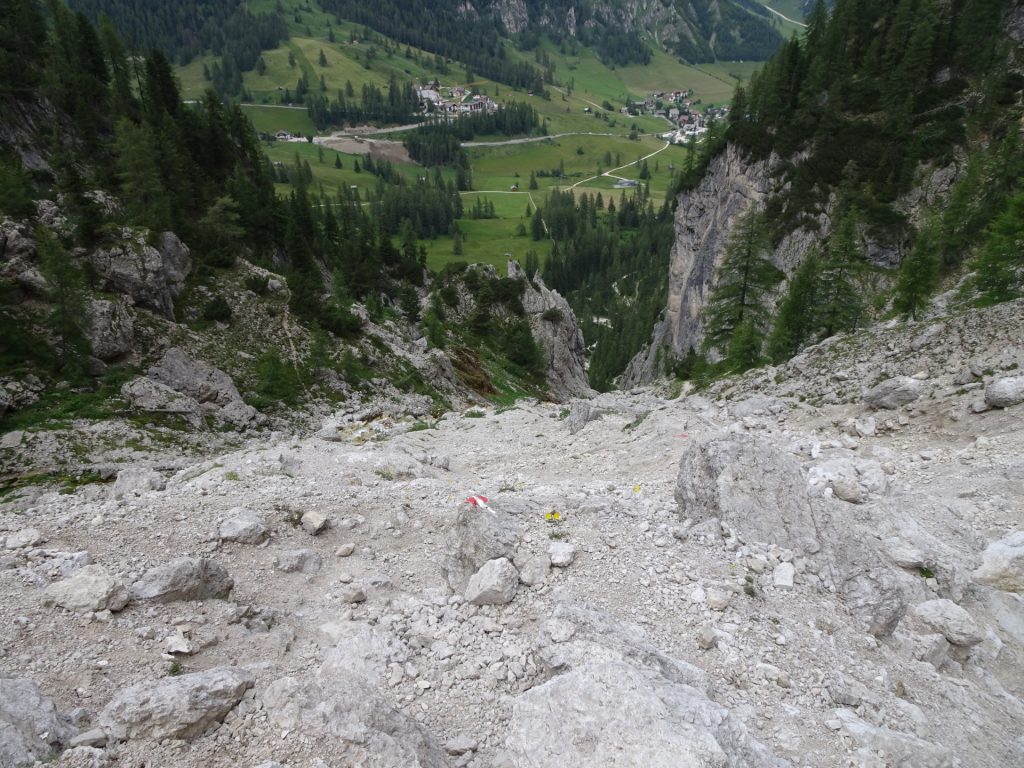
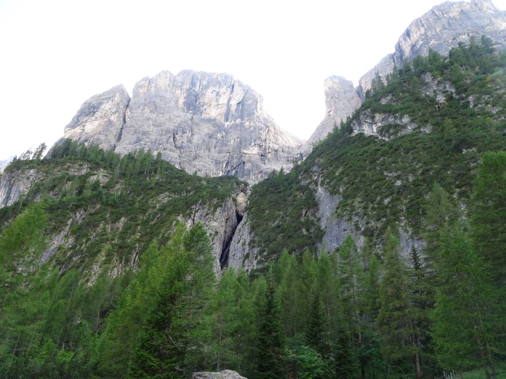
| 00:25 | Keep straight and pass through the impressive ravine (gorge). |
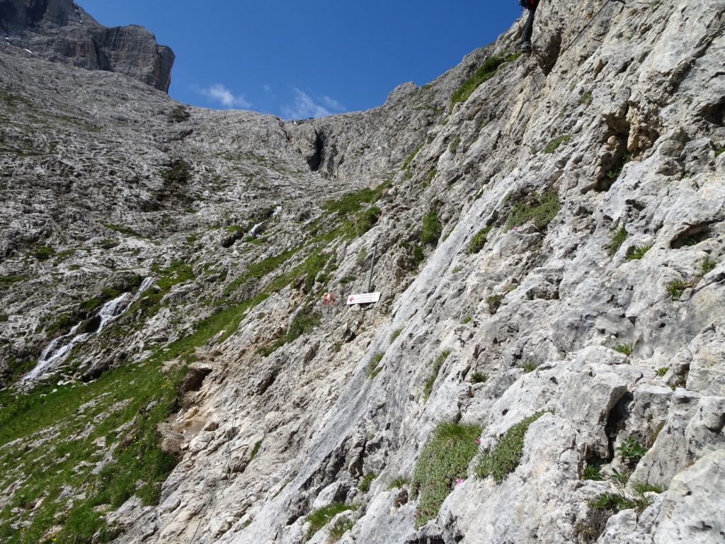
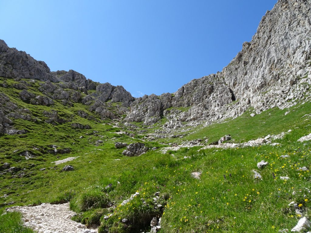
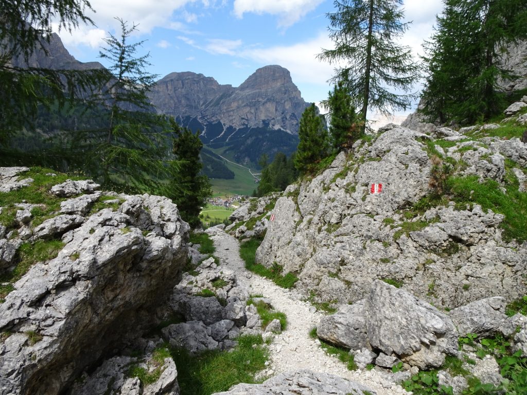
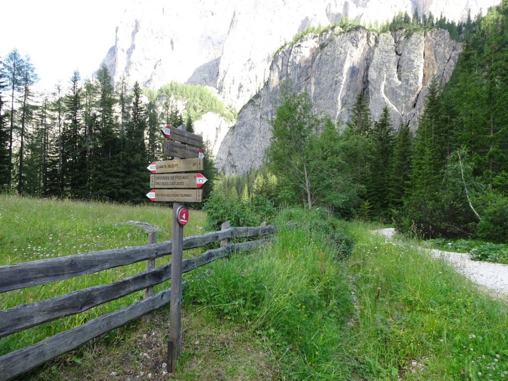
| 00:30 | Keep left and follow the signpost towards Pisciadù Via Ferrata (route 29). |
| 00:35 | At the crossing, turn right (follow the signpost towards Pisciadù Via Ferrata). |
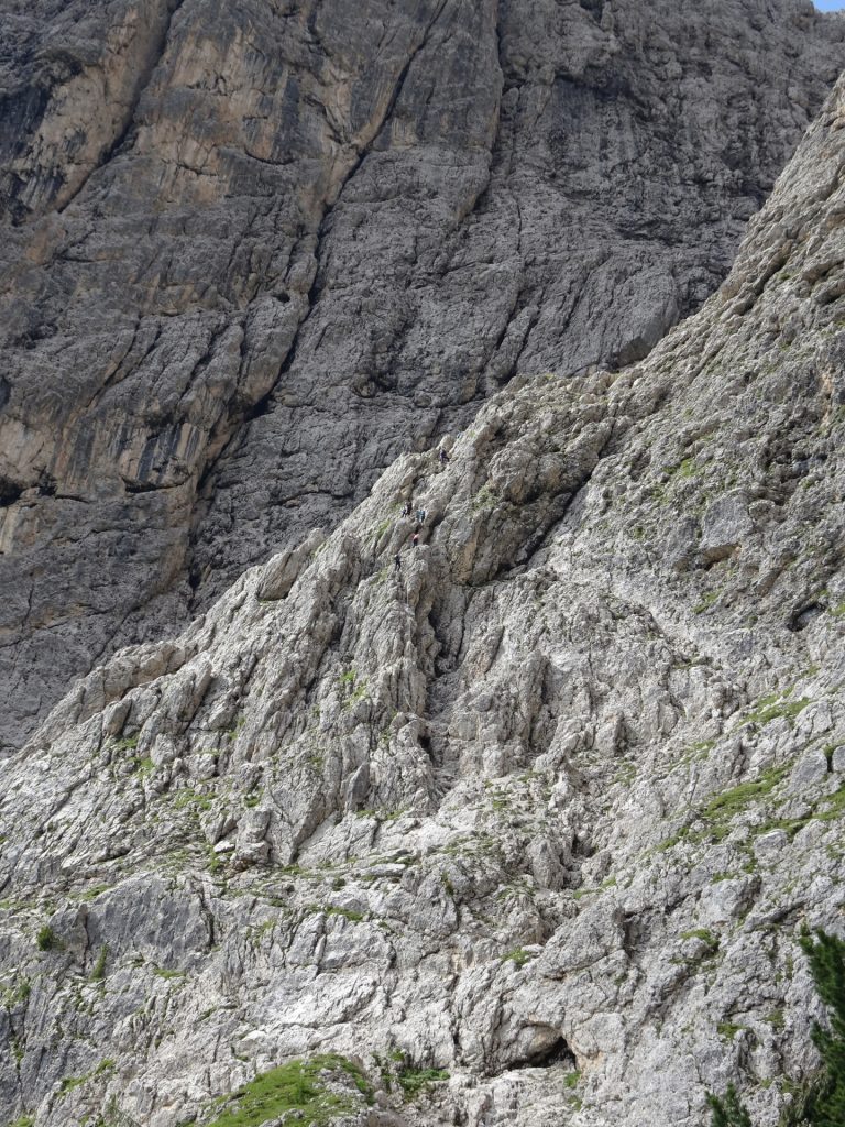
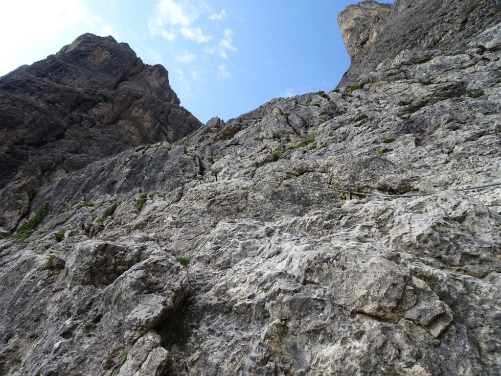
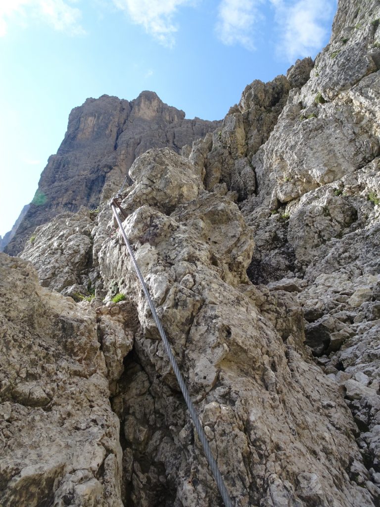
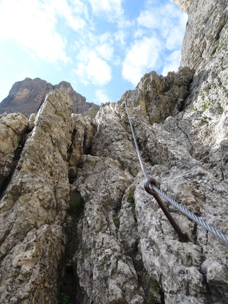
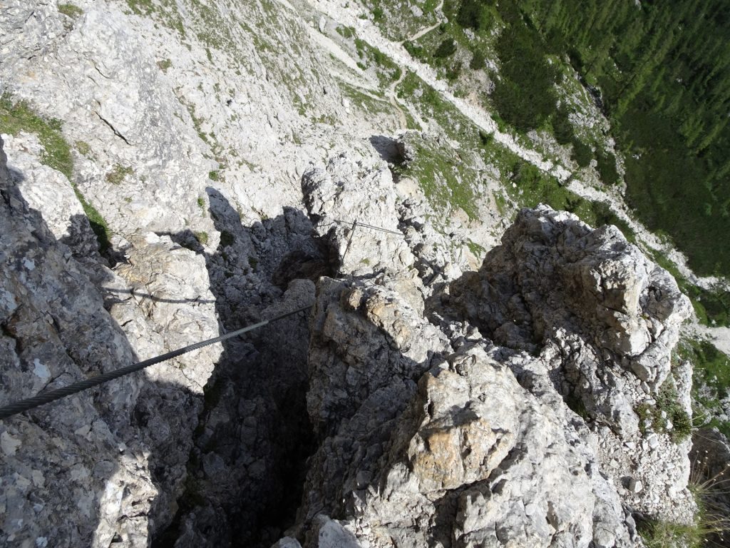
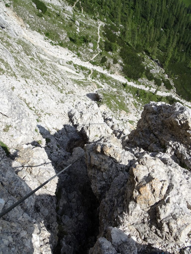
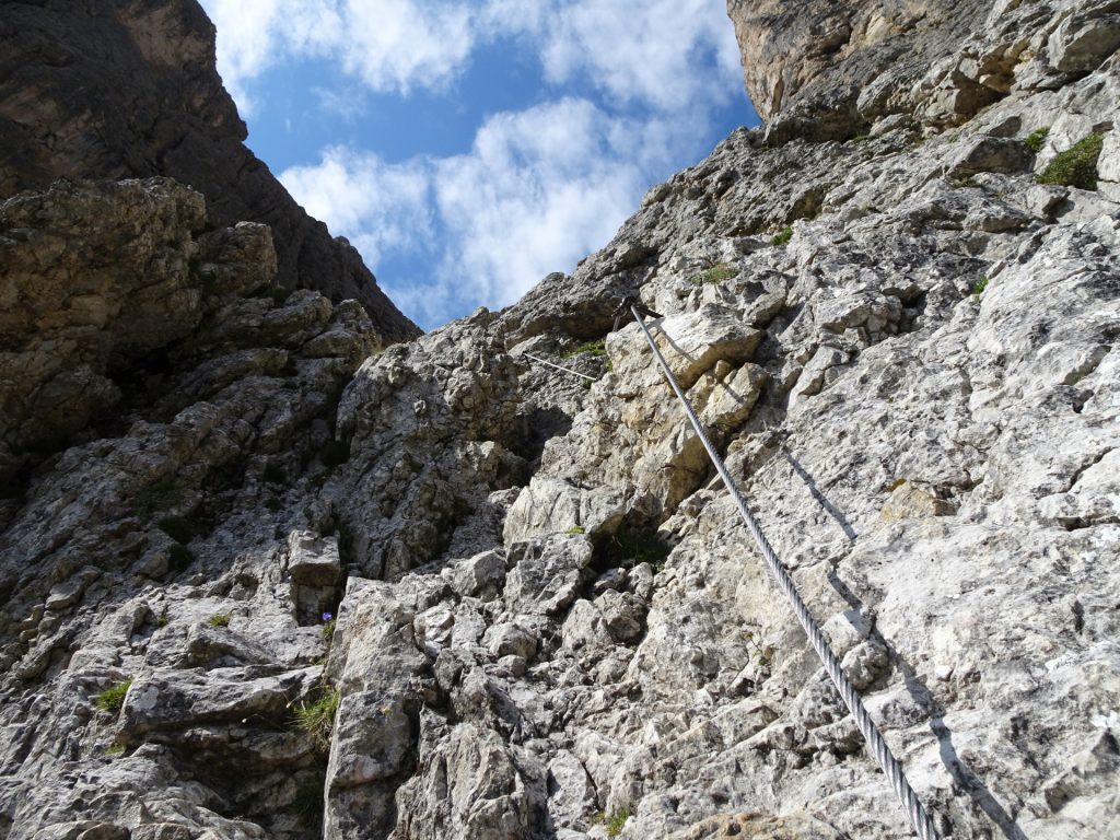
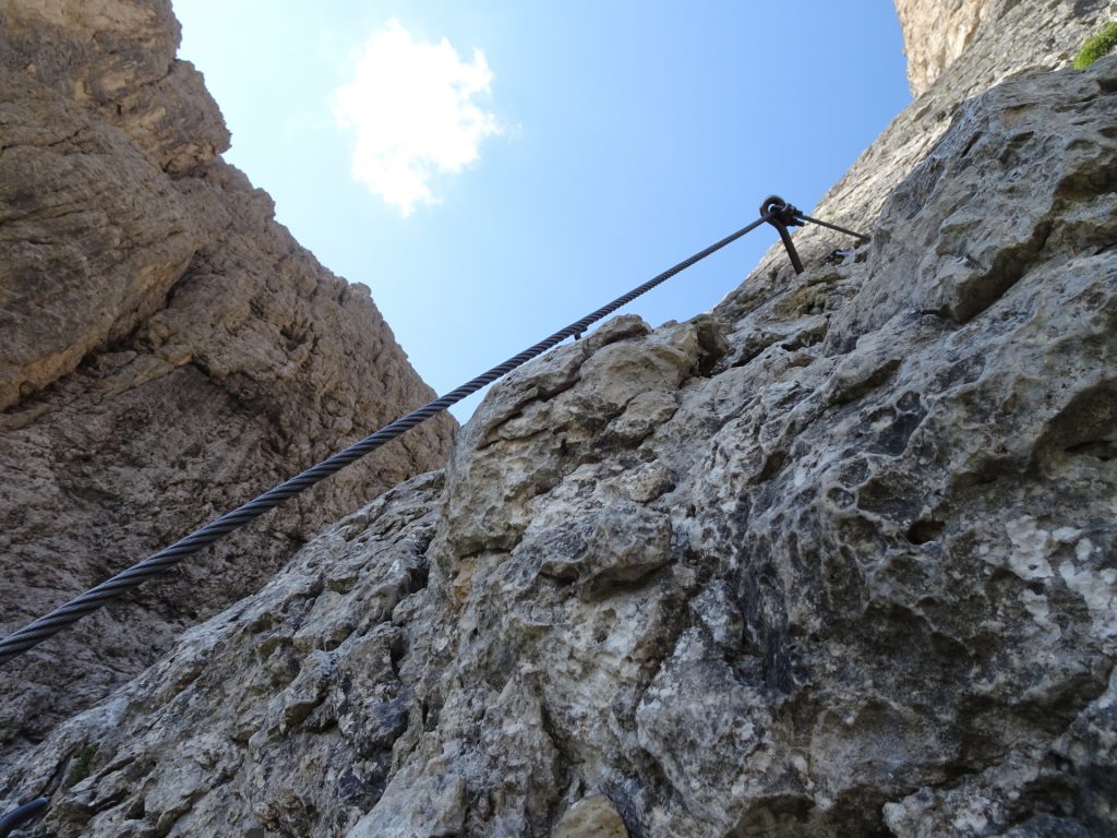
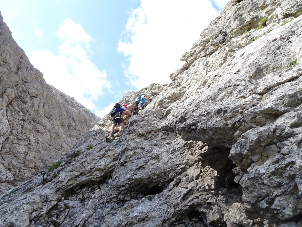
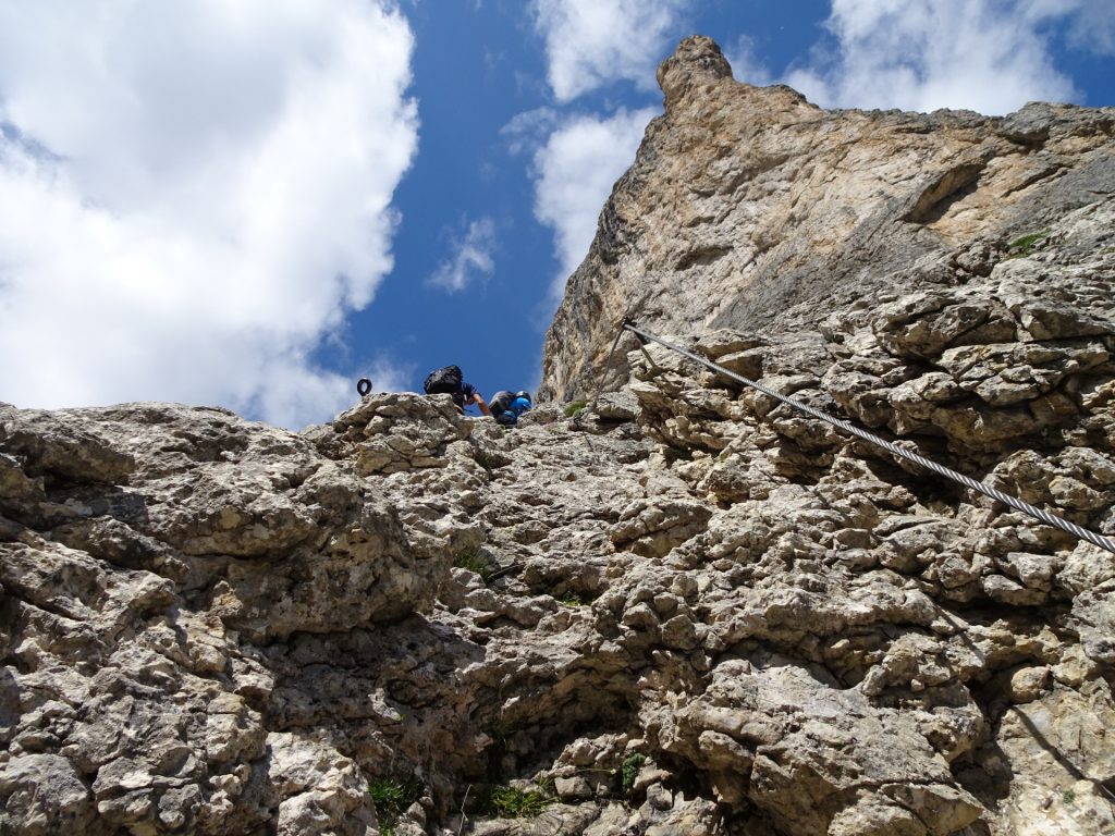
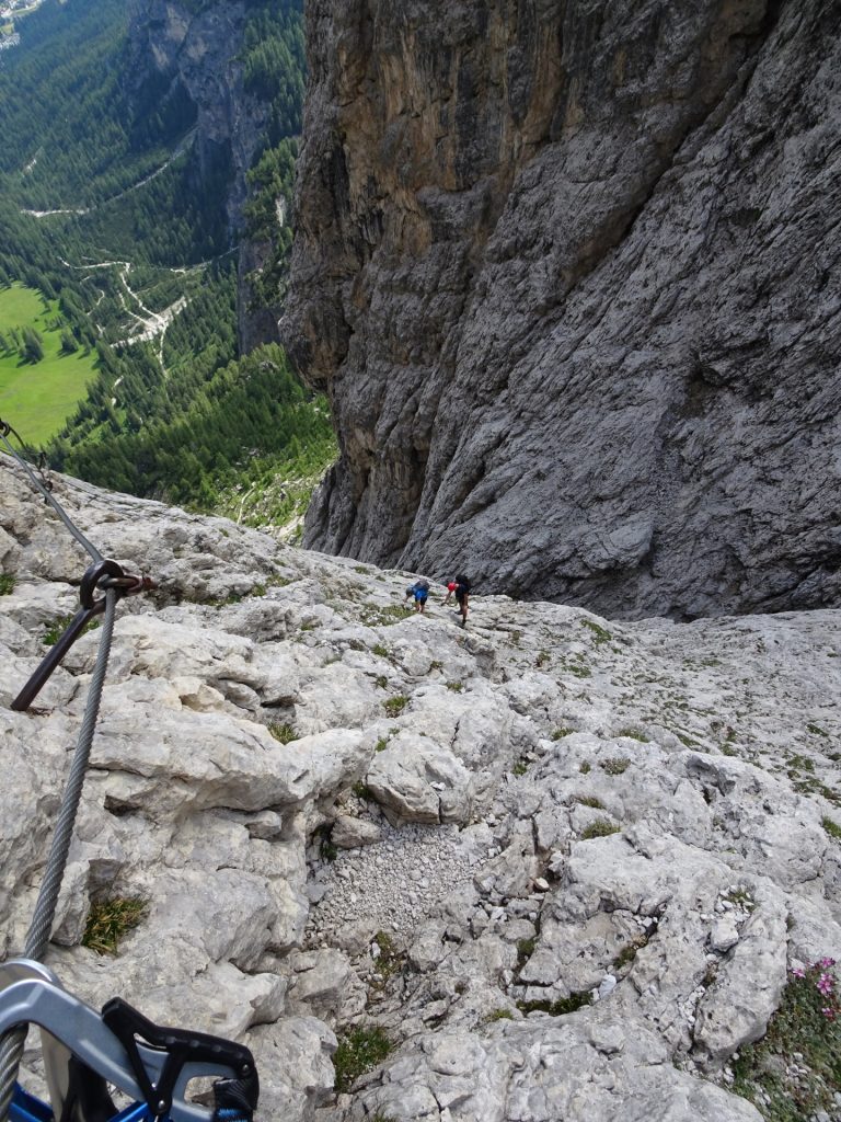
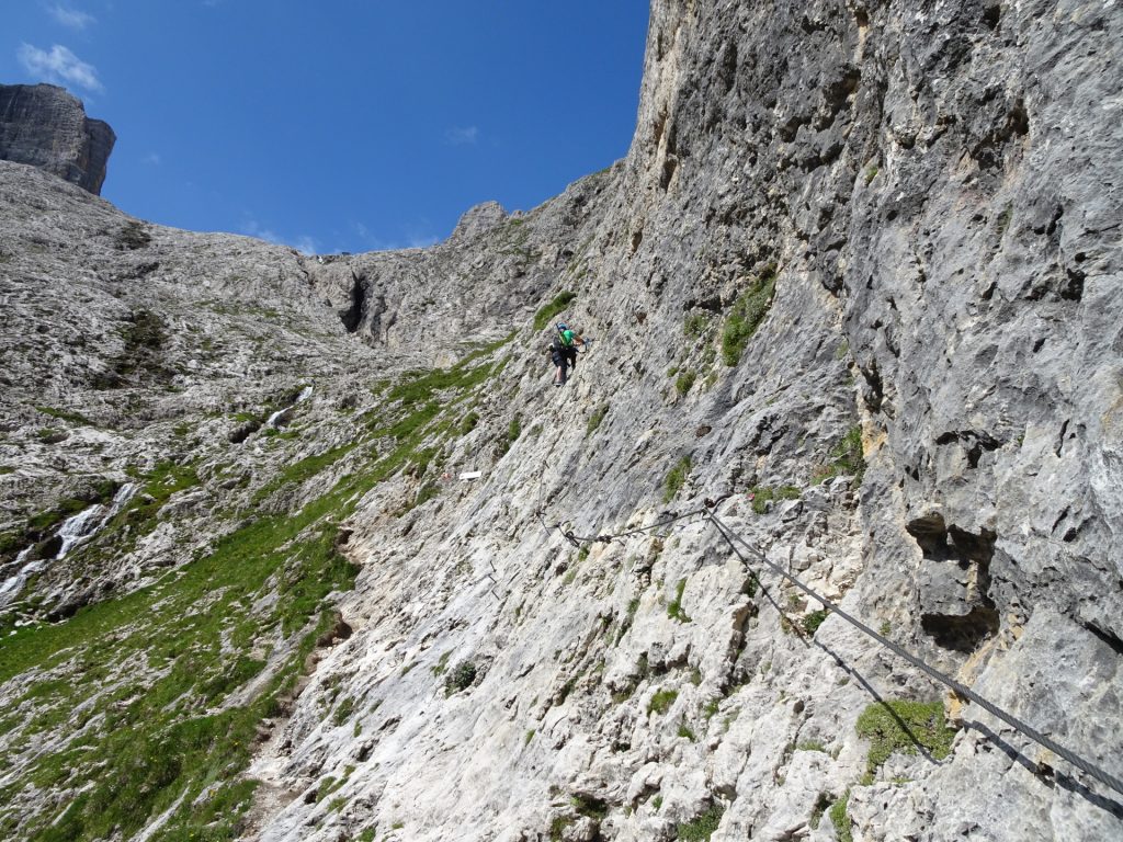
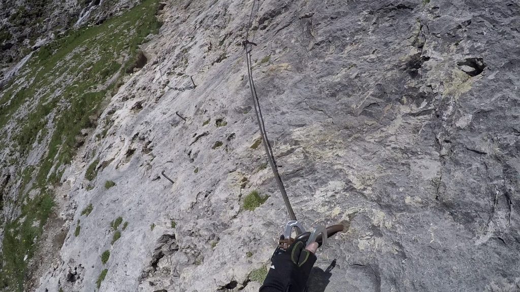
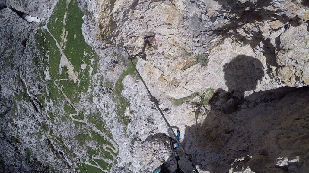
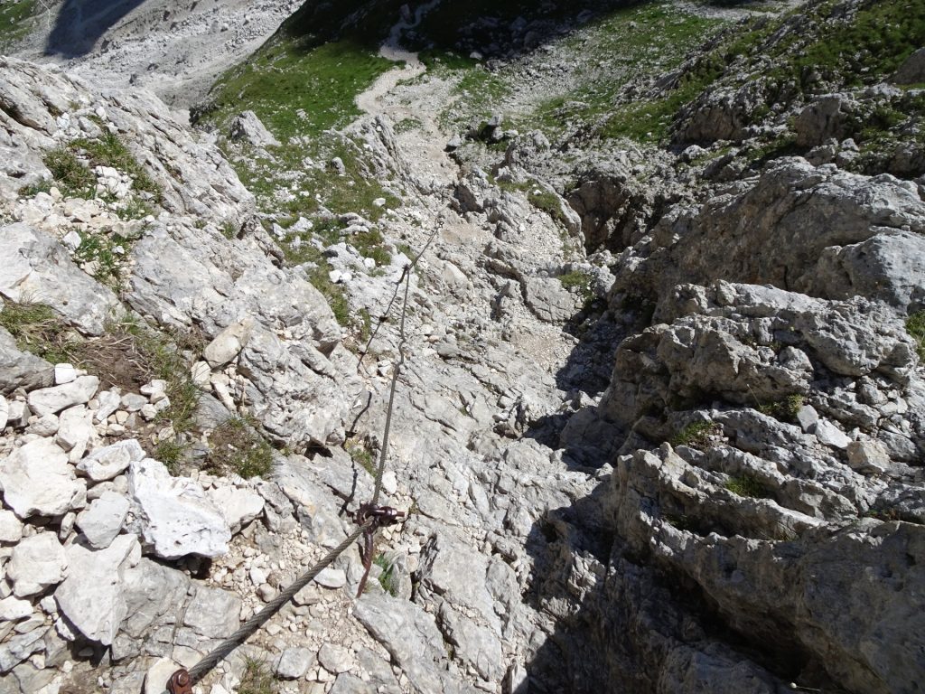
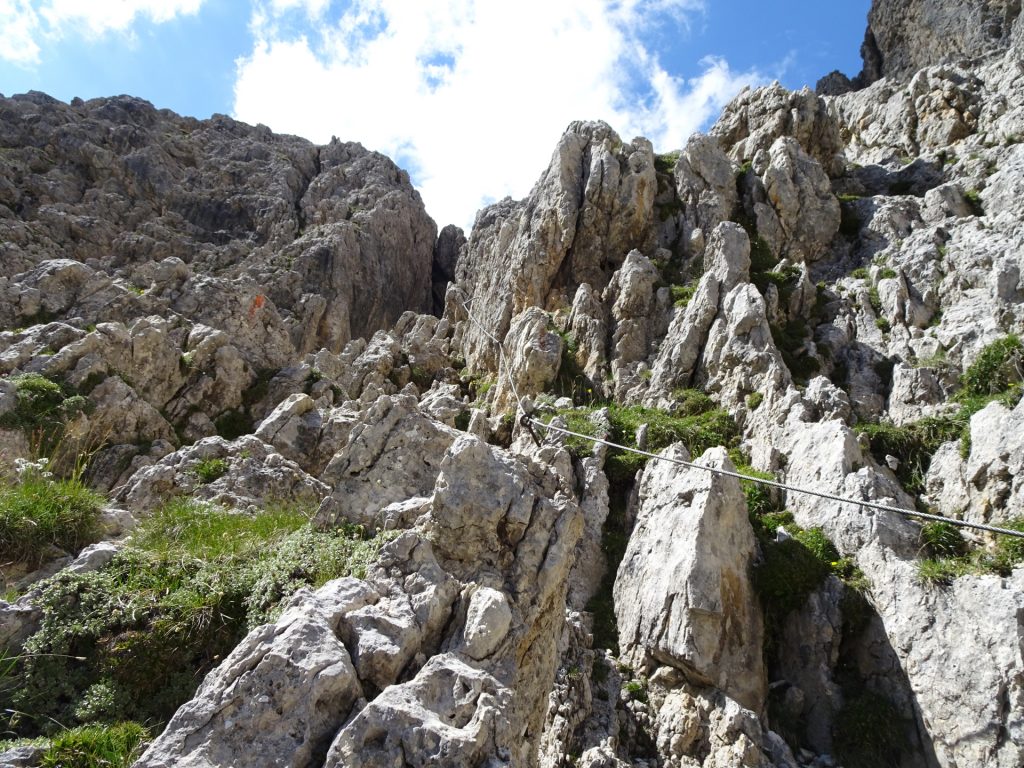
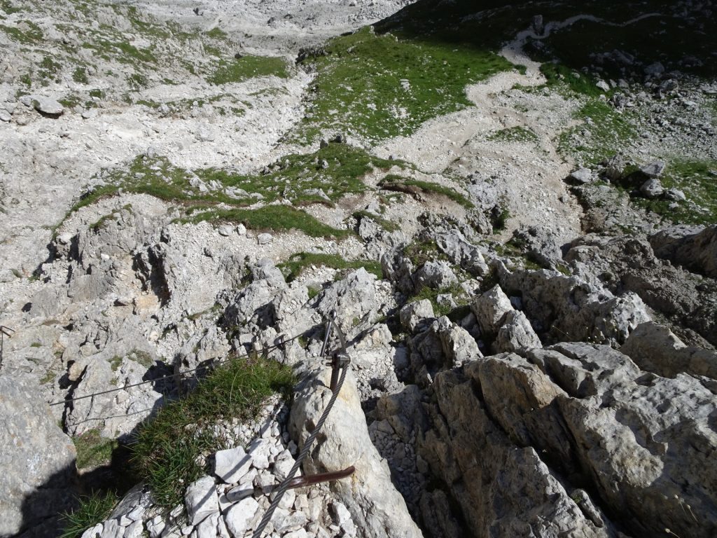
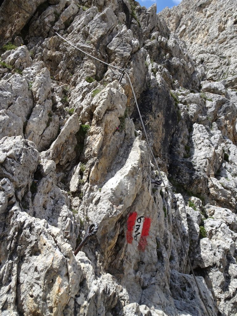
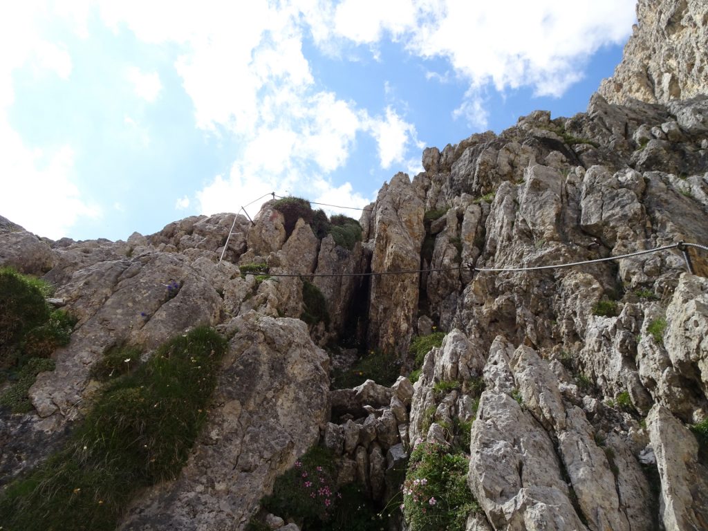
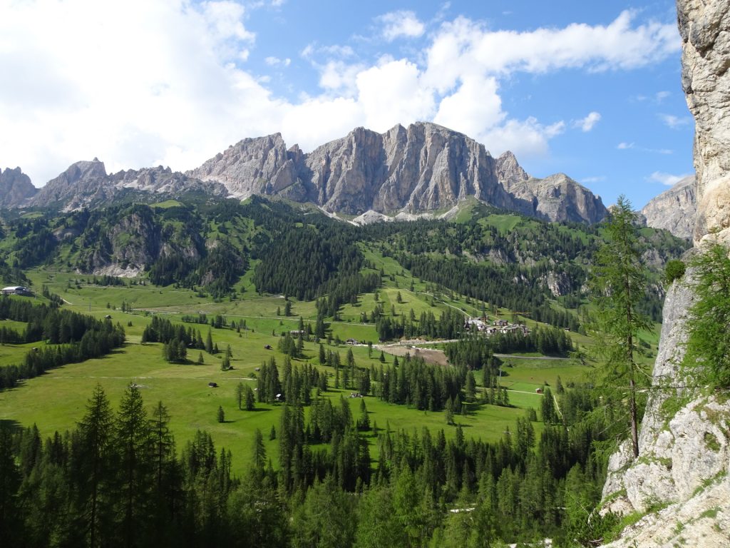
| 00:40 | Start of the second part of the via ferrata (B/C). It gets now exposed but allows promising views. Follow the ferrata route upwards. |
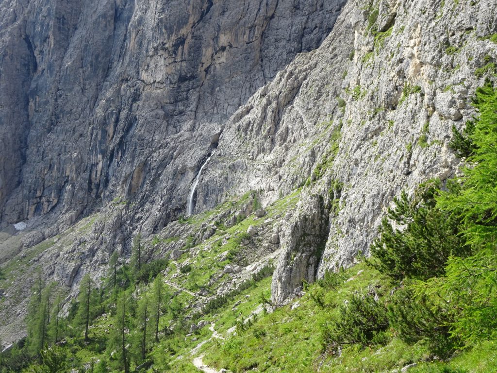
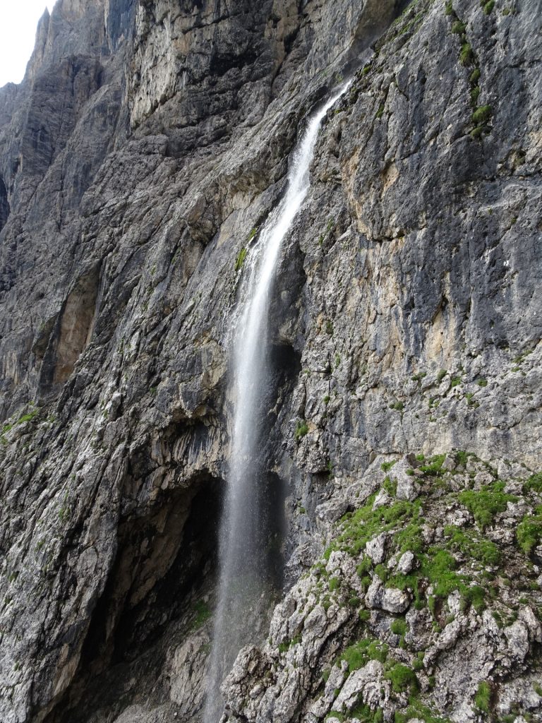
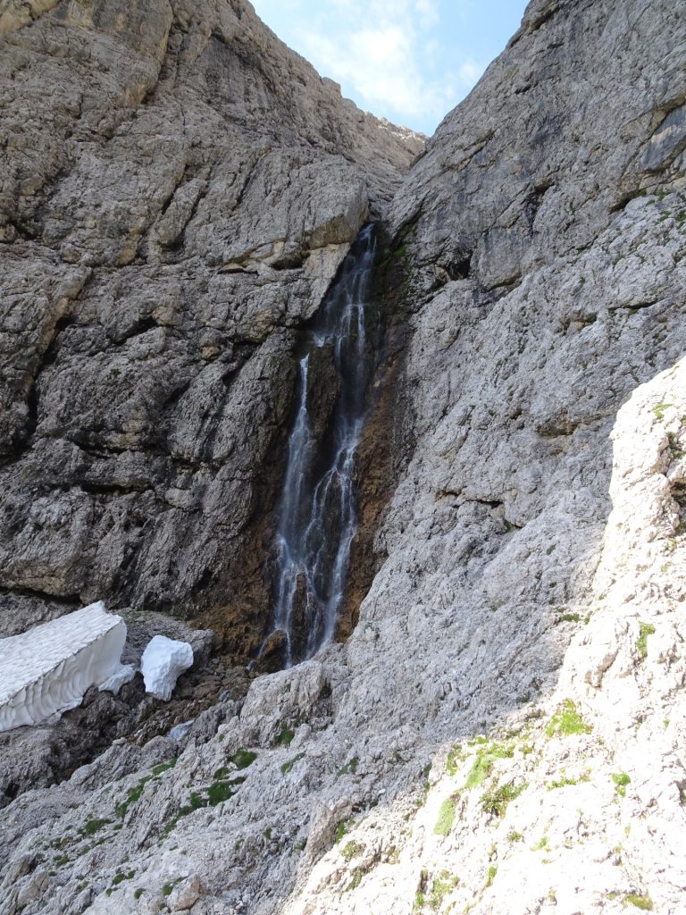
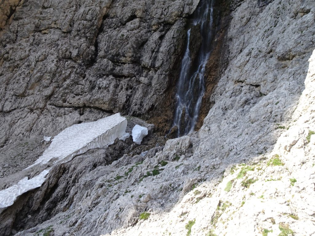
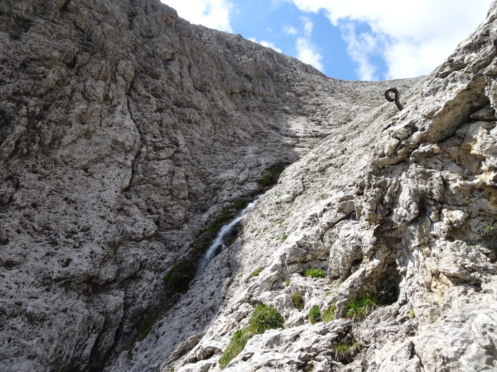
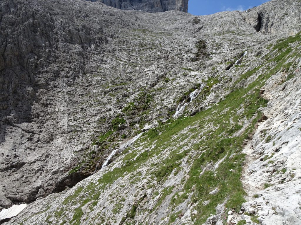
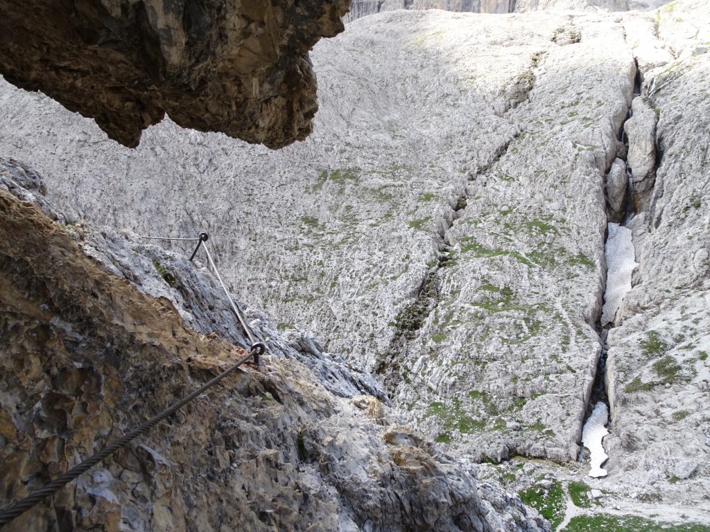
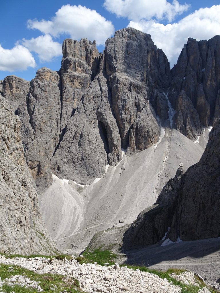
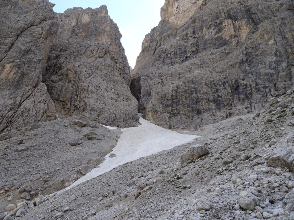
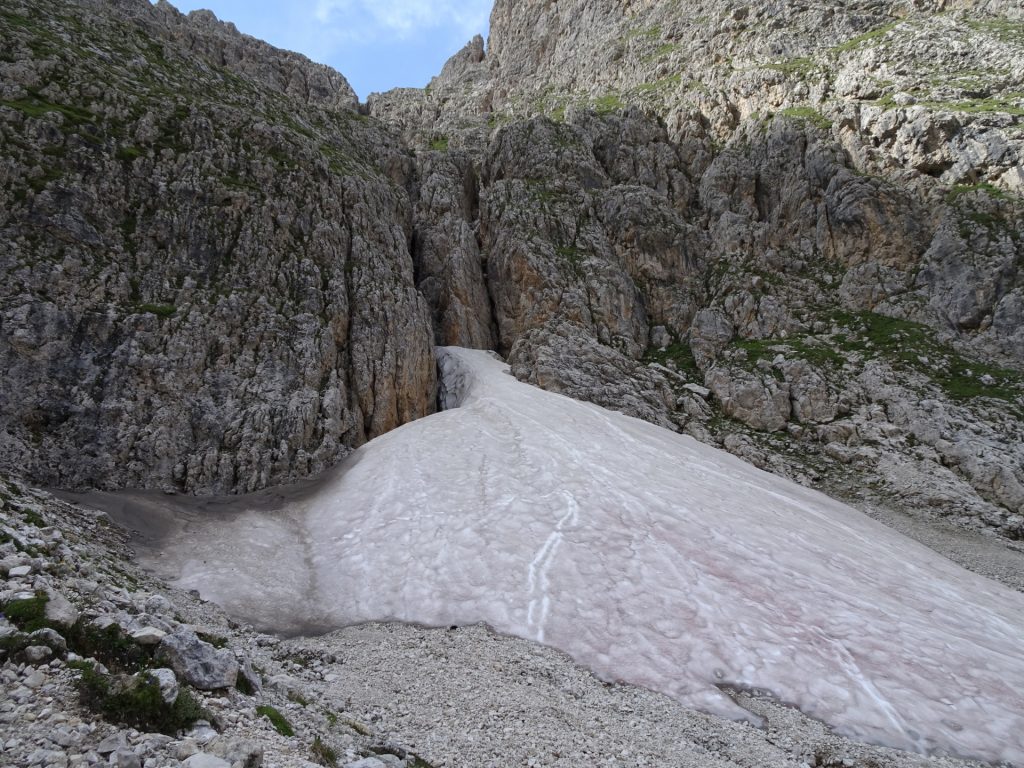
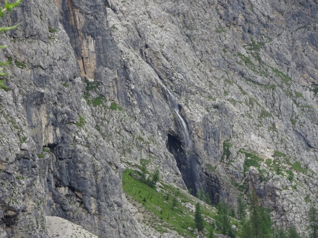
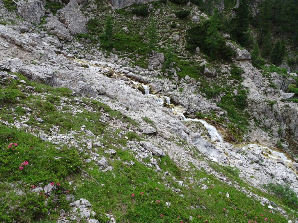
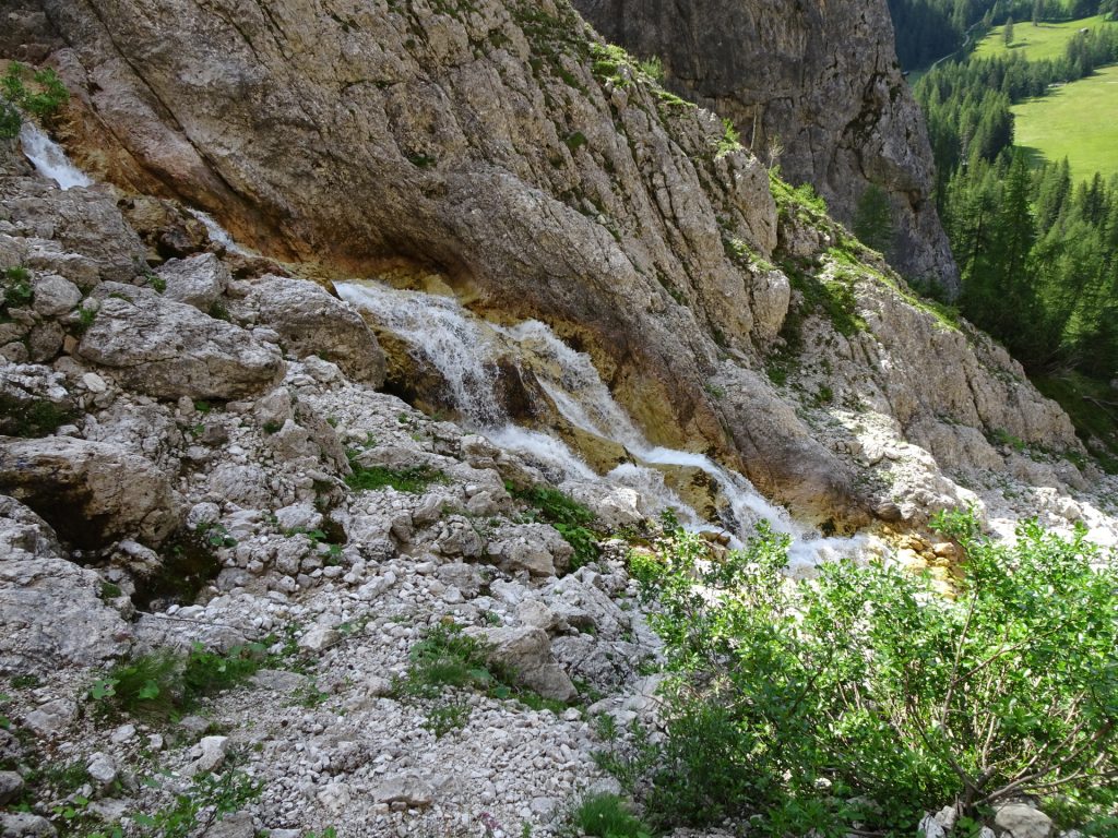
| 00:55 | Enjoy the view of the waterfall next to the snow field. |
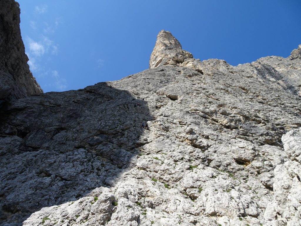
| 01:40 | Reconsider your remaining energy honestly. Consider to take the lower route (left hand-side) to use the emergency exit or use the upper route (right hand-side) for the 3rd and more difficult part (C). |
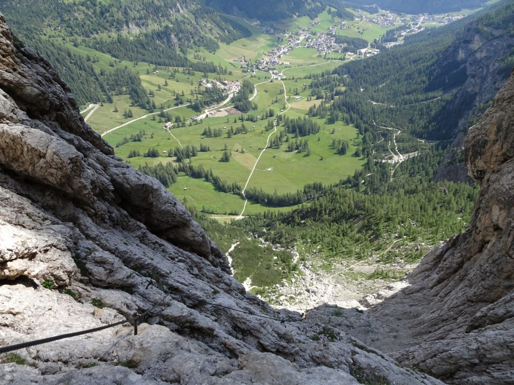
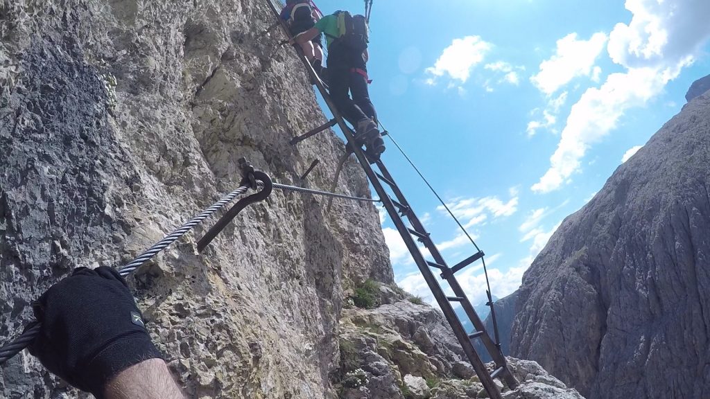
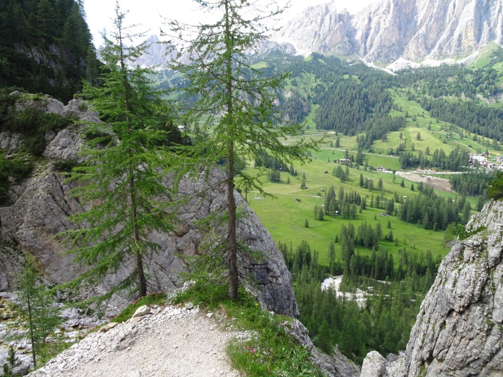
| 02:10 | Climb up the iron ladder and enjoy the view back when climbed. |
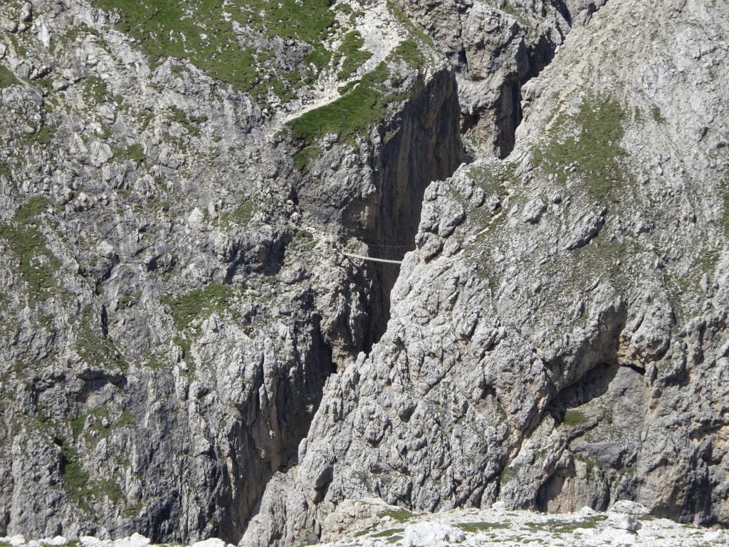
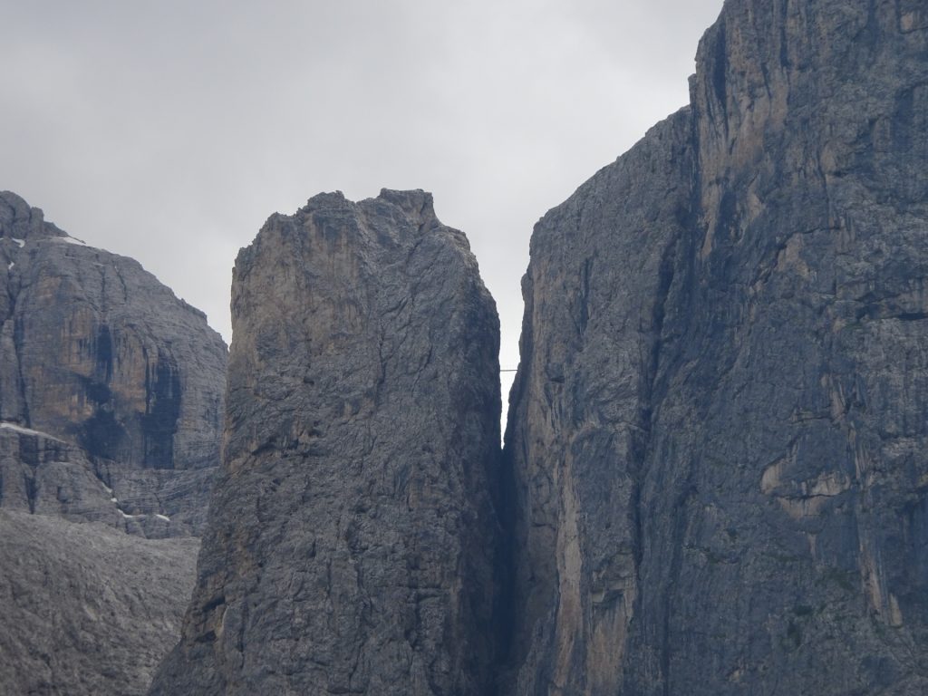
| 02:20 | Cross the impressive bridge between the Exner and Brunecker towers. No fear of heights is absolutely required here! |
| 02:25 | Follow the hiking trail towards the Rifugio Franco Cavazza al Pisciadù hut. |
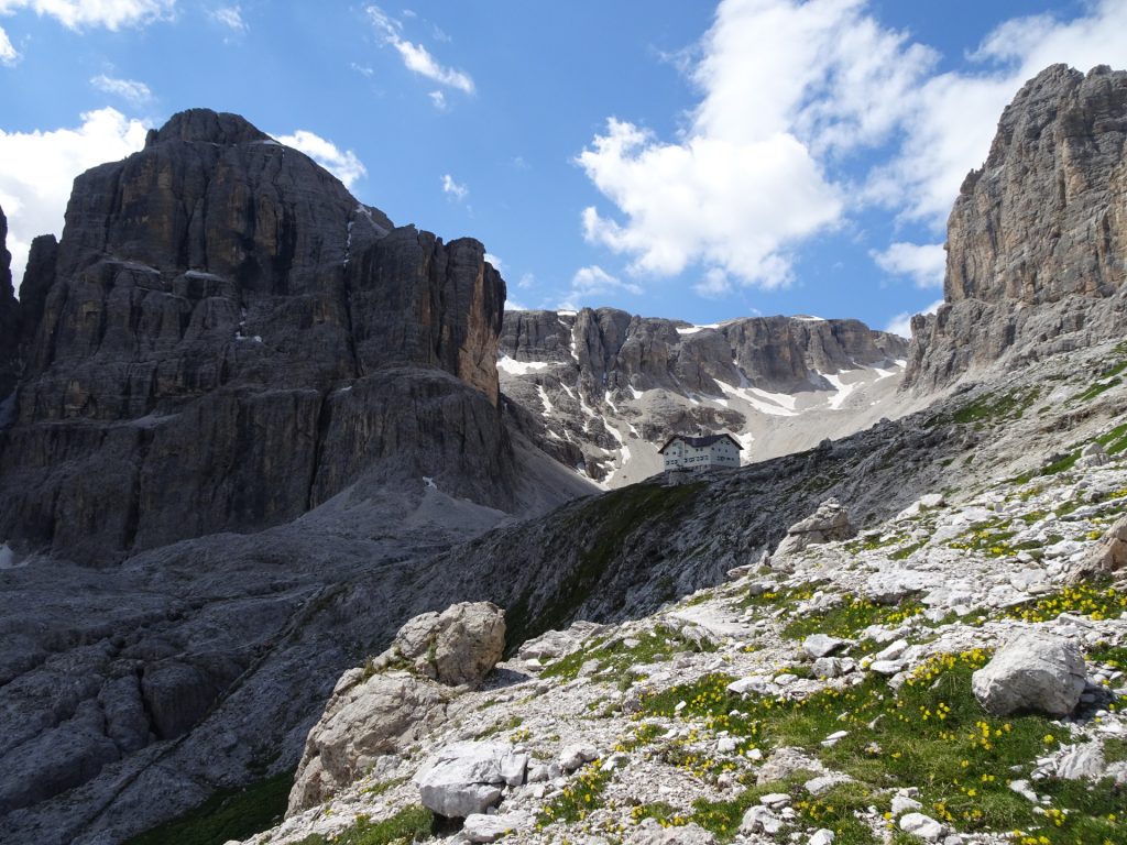
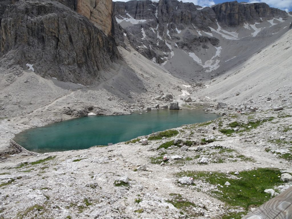
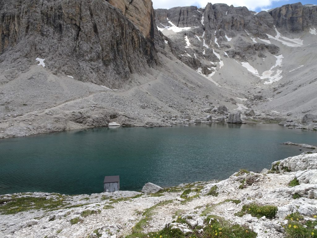
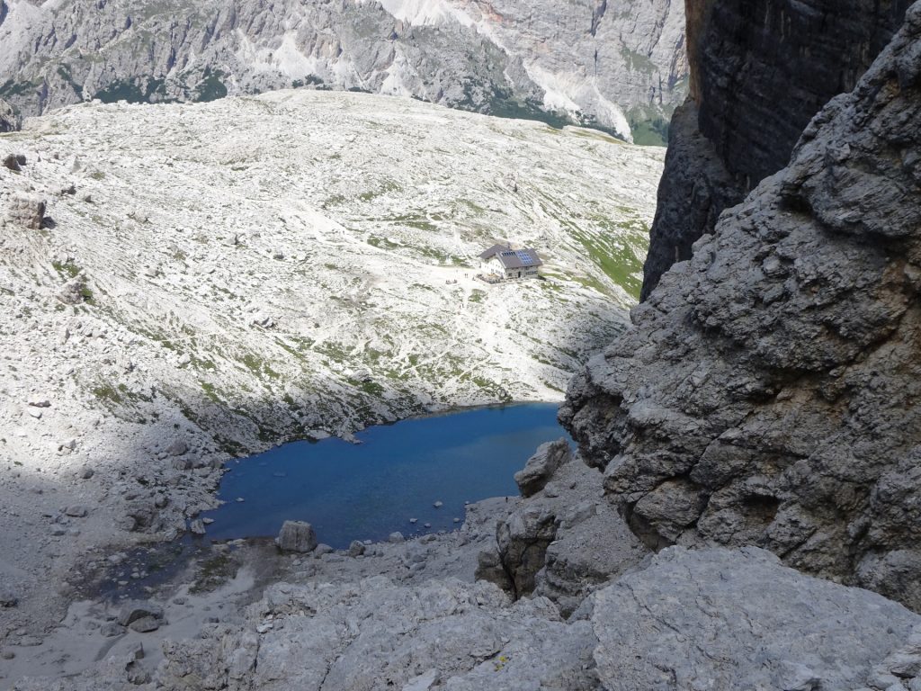
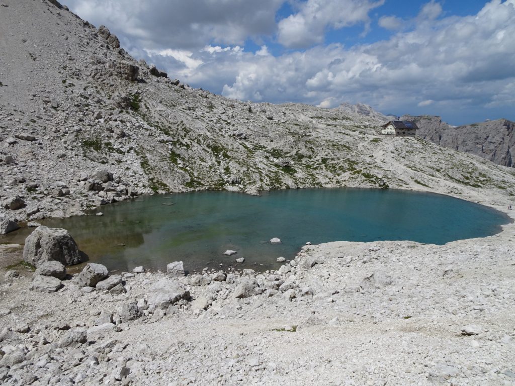
| 02:40 | Absolutely well deserved break at the hut ( ). Enjoy the stunning view from the terrace towards the Lè de Pisciadù lake. |
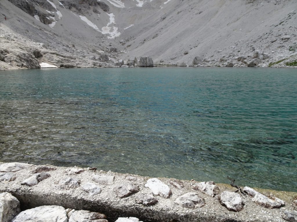
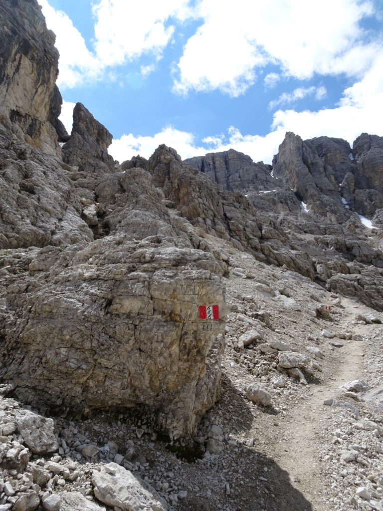
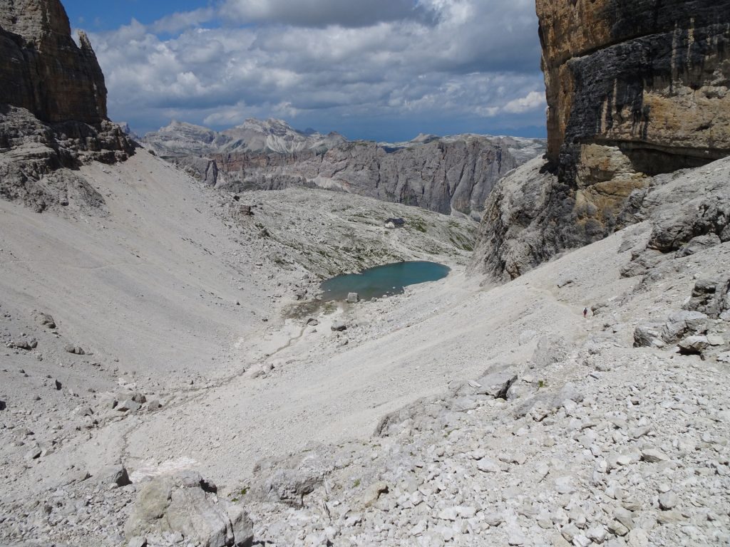
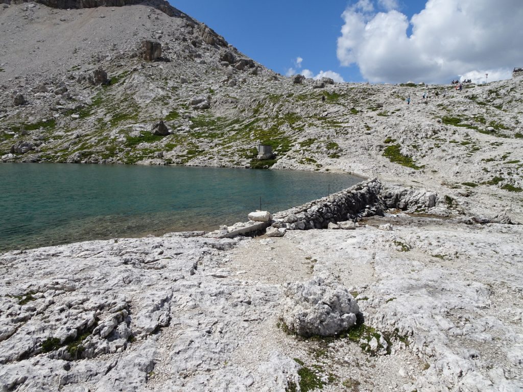
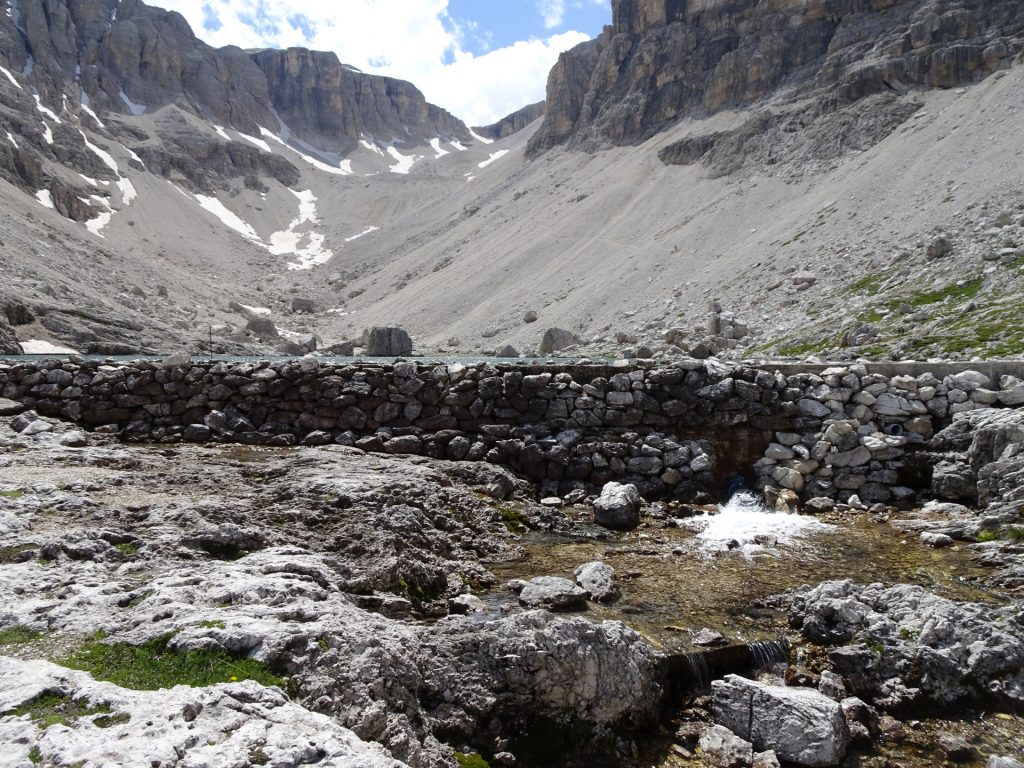
| 03:25 | Follow the trail towards the lake and pass it on its left hand-side. Turn right (after the lake) and follow there the route 666 up to mount Pisciadù. |
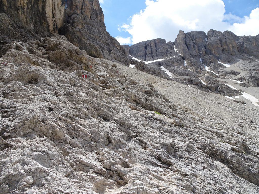
| 03:30 | Some steeper parts of the trail, still manageable and well protected with fixed cables. Follow the route upwards. |
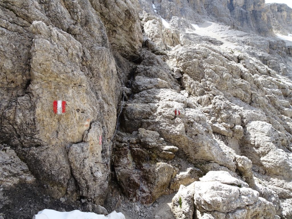
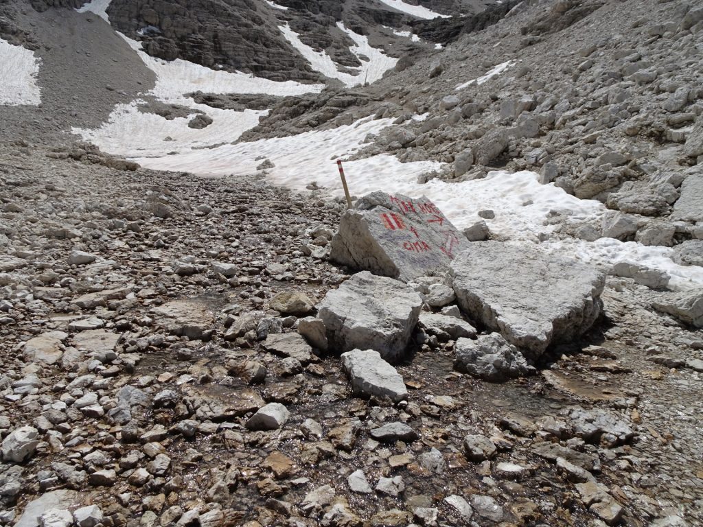
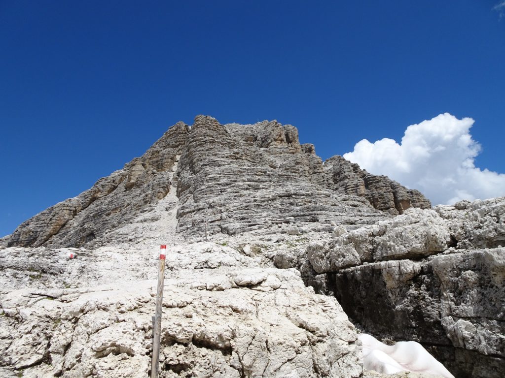
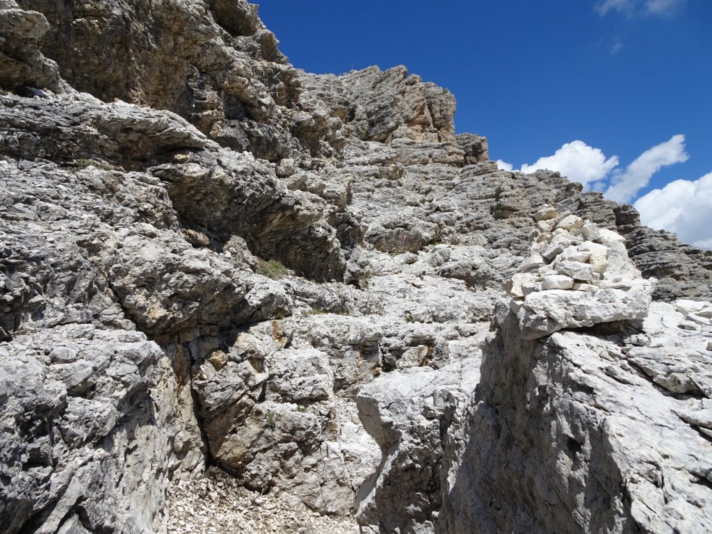
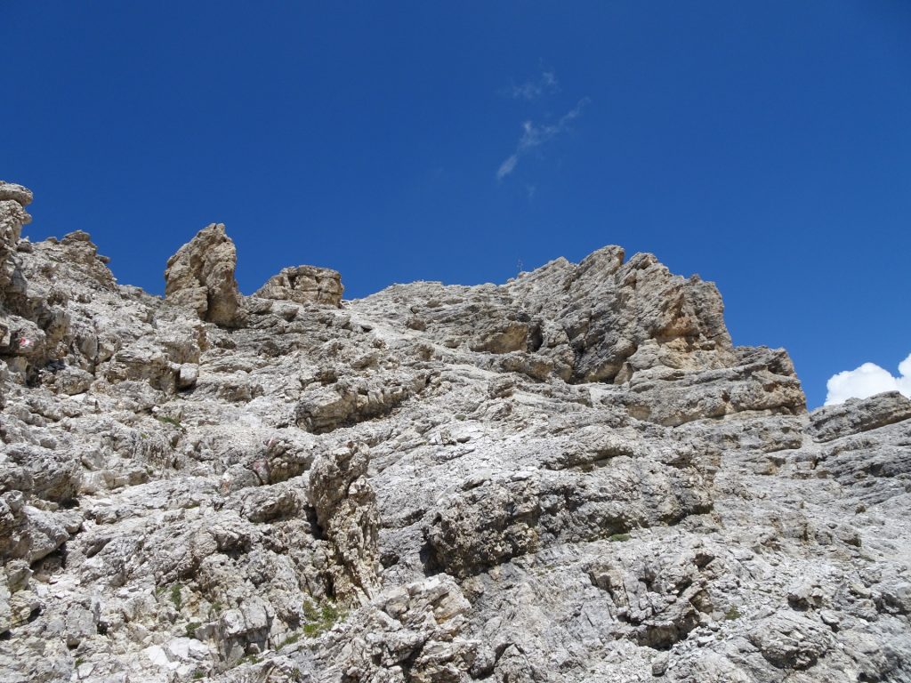
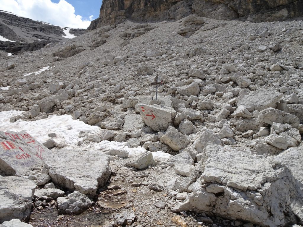
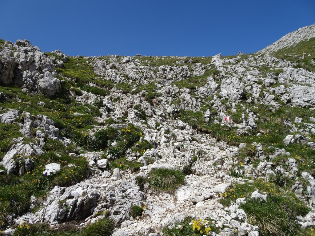
| 03:55 | At the crossing, turn left (stone mark Cima) and follow the climbing (UIAA level I) path upwards to the top (watch and follow the markings). |
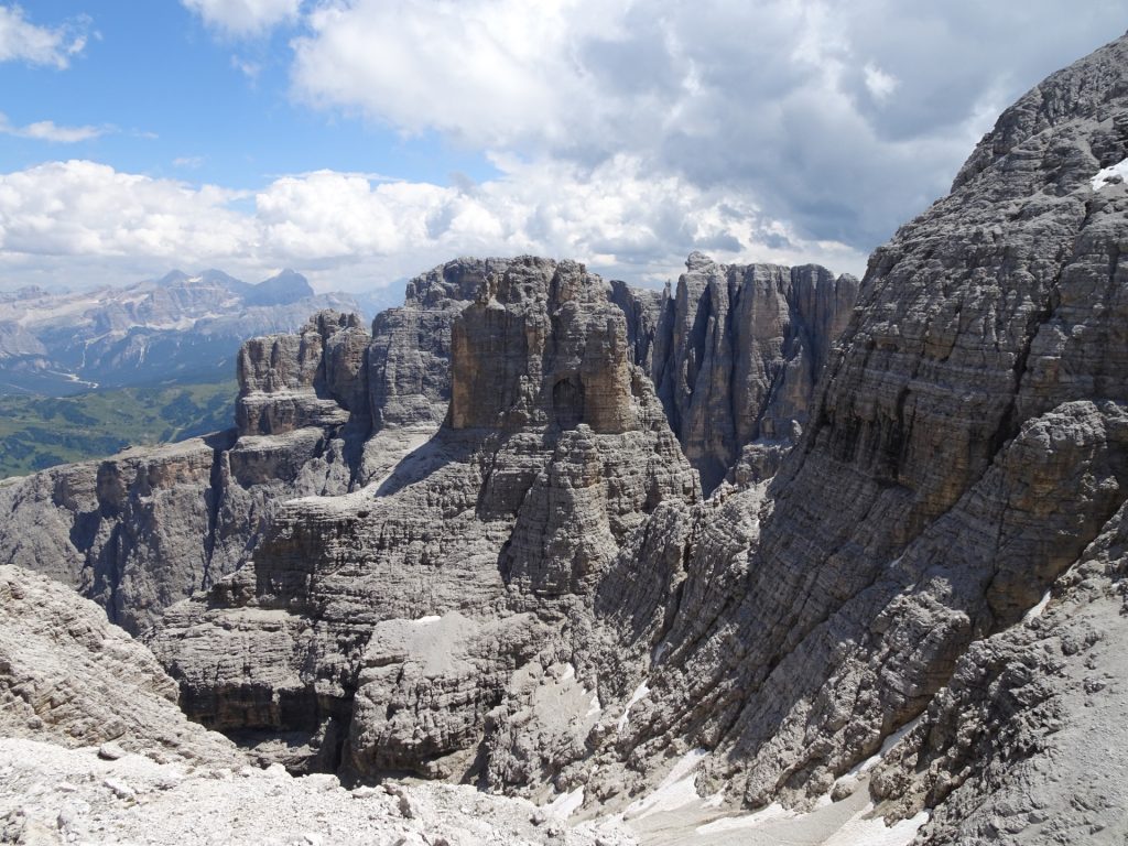
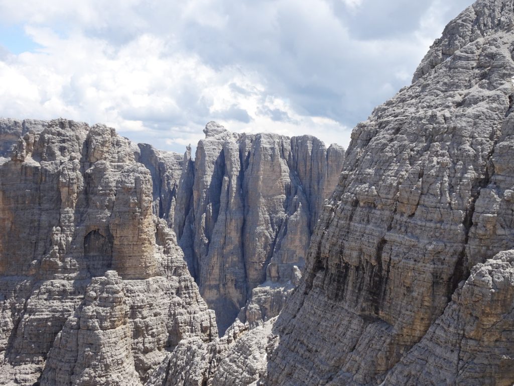
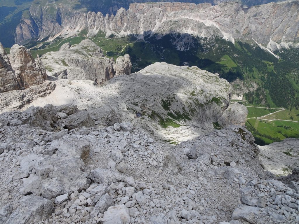
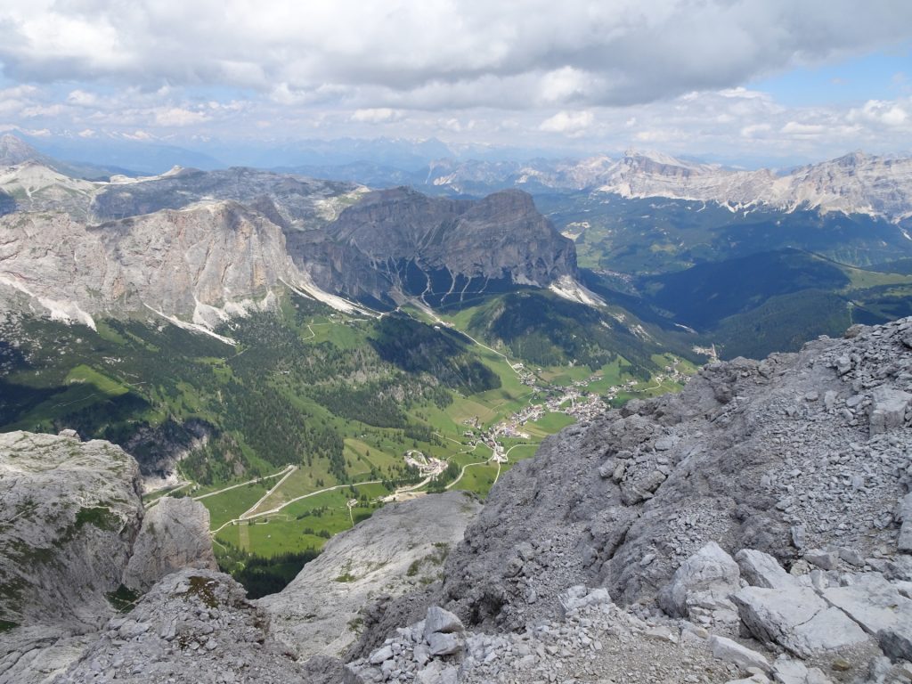
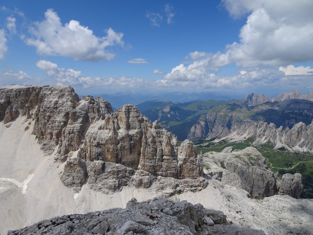
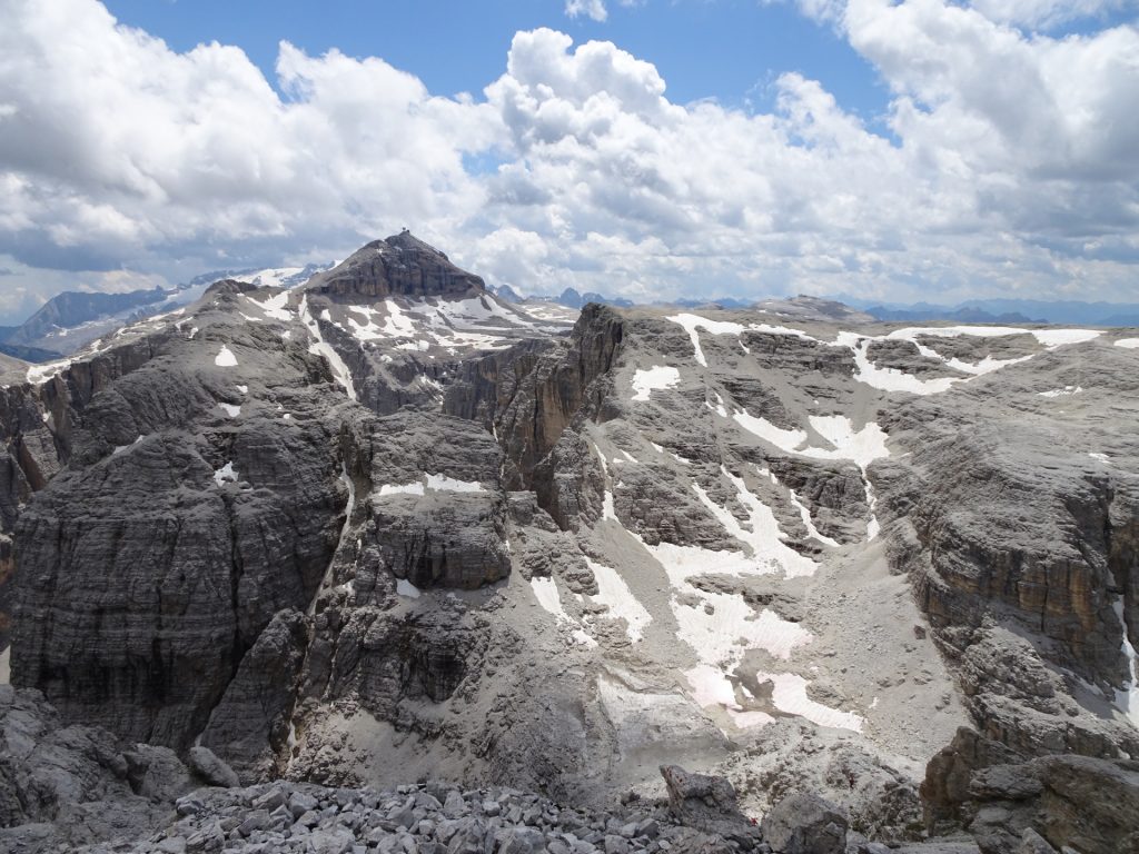
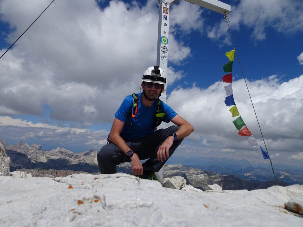
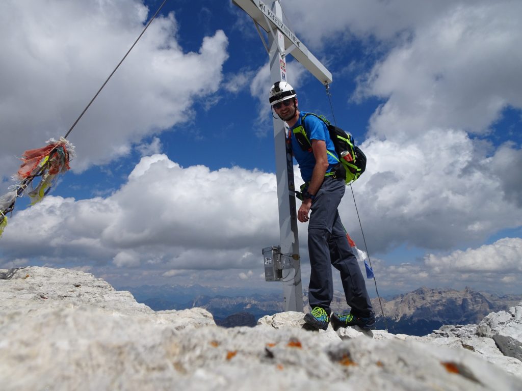
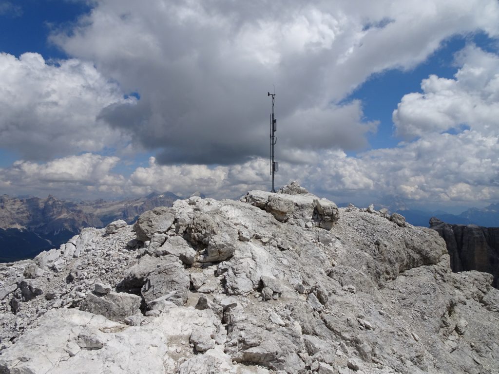
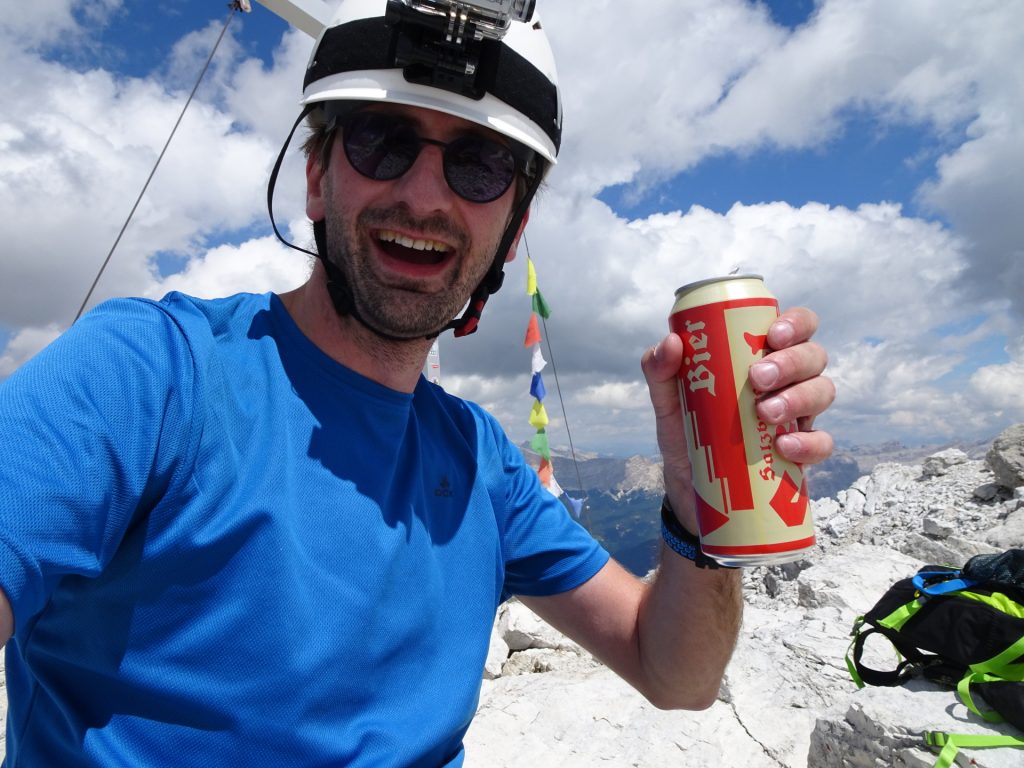
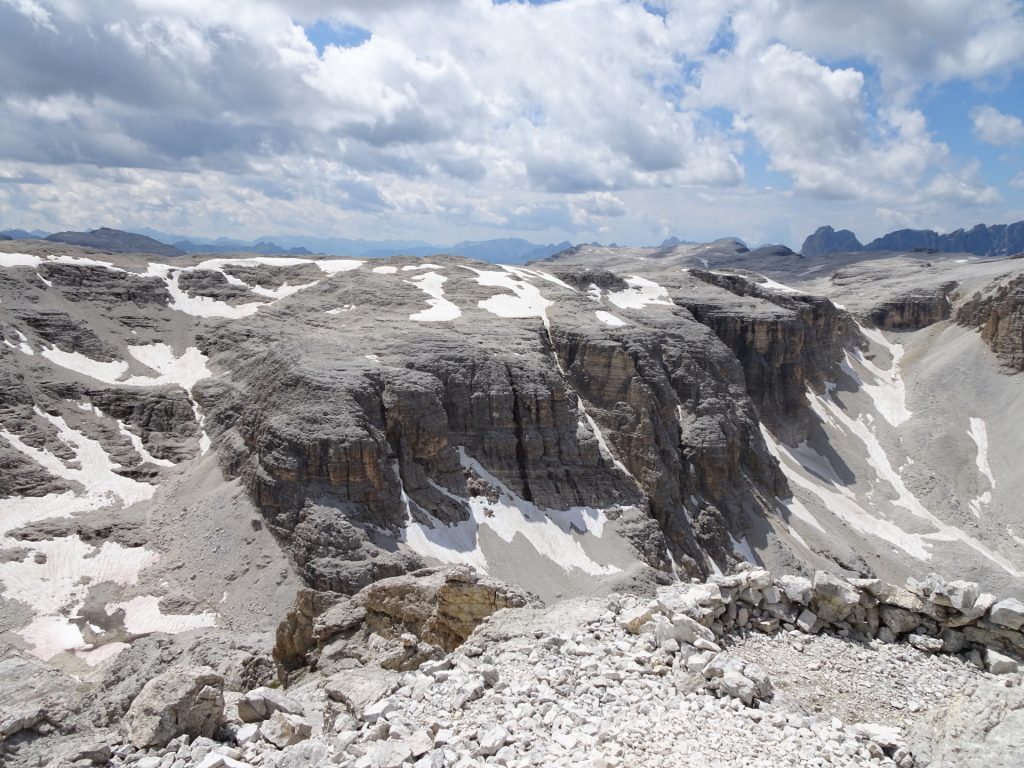
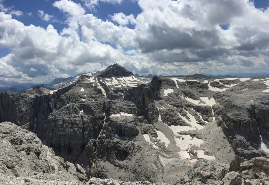
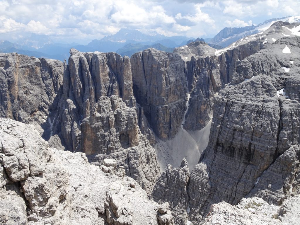
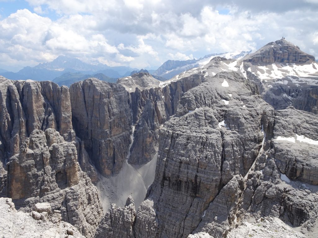
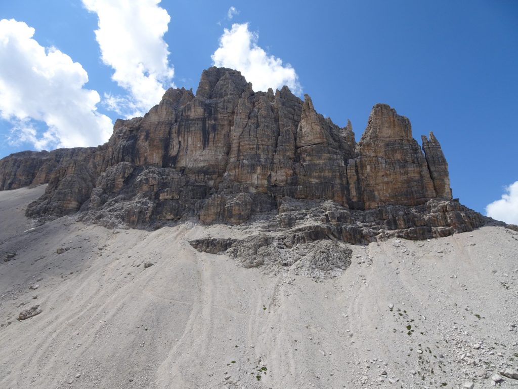
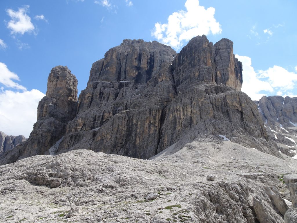
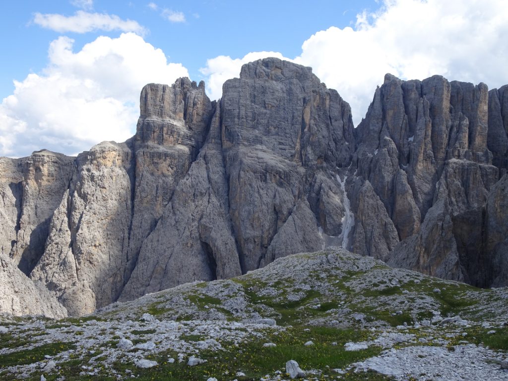
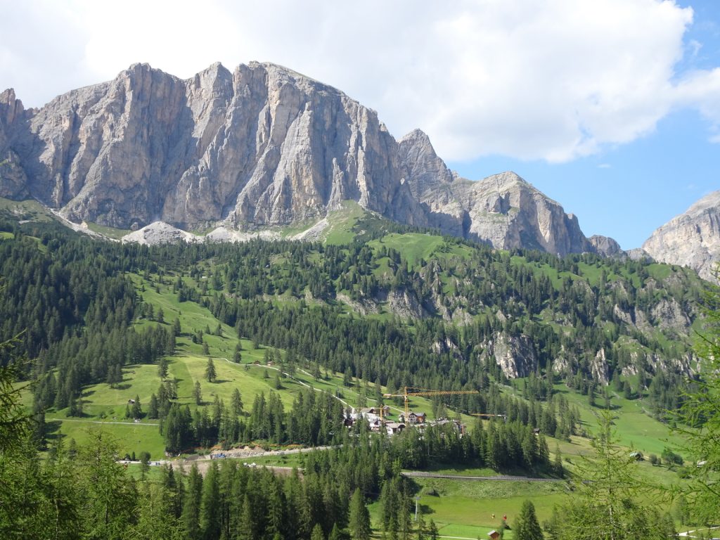
| 04:20 | Enjoy the stunning surrounding view at the top of Cima Pisciadù. The view is best enjoyed with a self-brought refreshment (). |
| 04:35 | Follow the same trail downwards (watch and follow the markings!) back to the Rifguio Franco Cavazza al Pisciadù. |
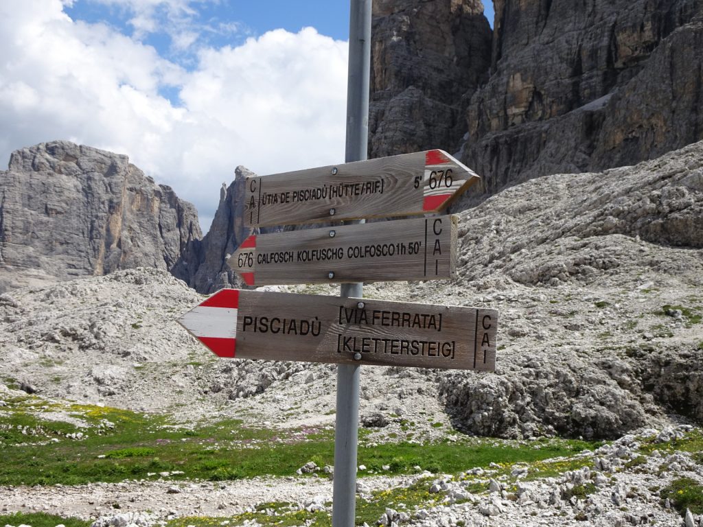
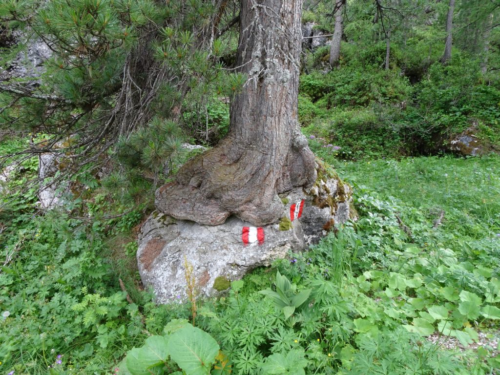
| 05:20 | At the end of the lake, turn right and follow the trail 676 towards Calfosch Kolfuschg Colfosco ( Attention: Do not go straight, it will lead towards the emergency exit of the via ferrata!). |
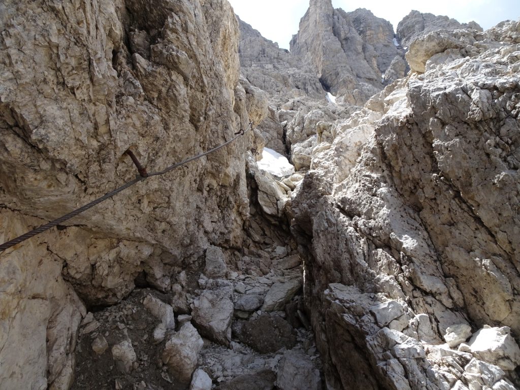
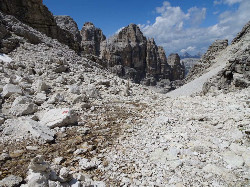
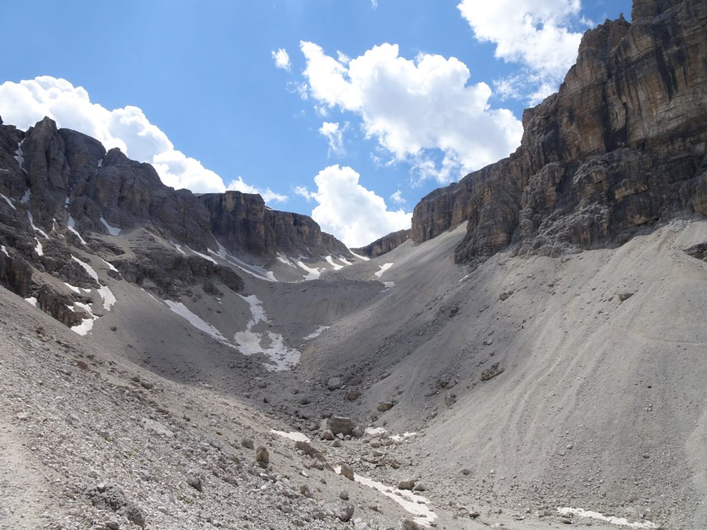
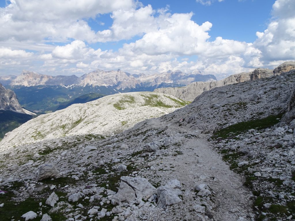
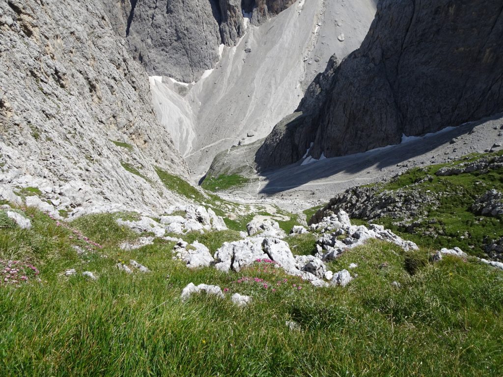
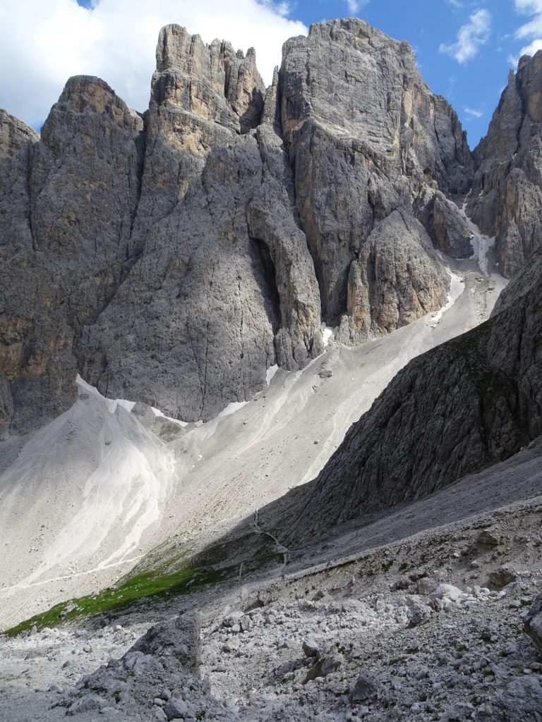
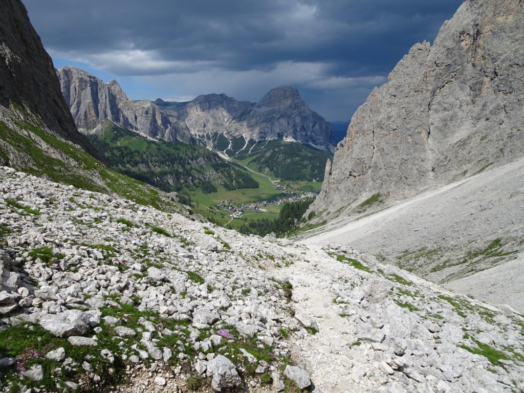
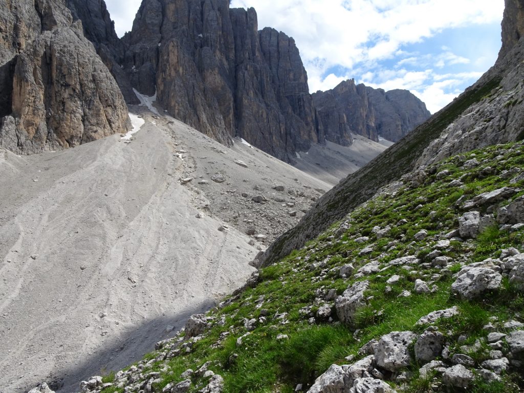
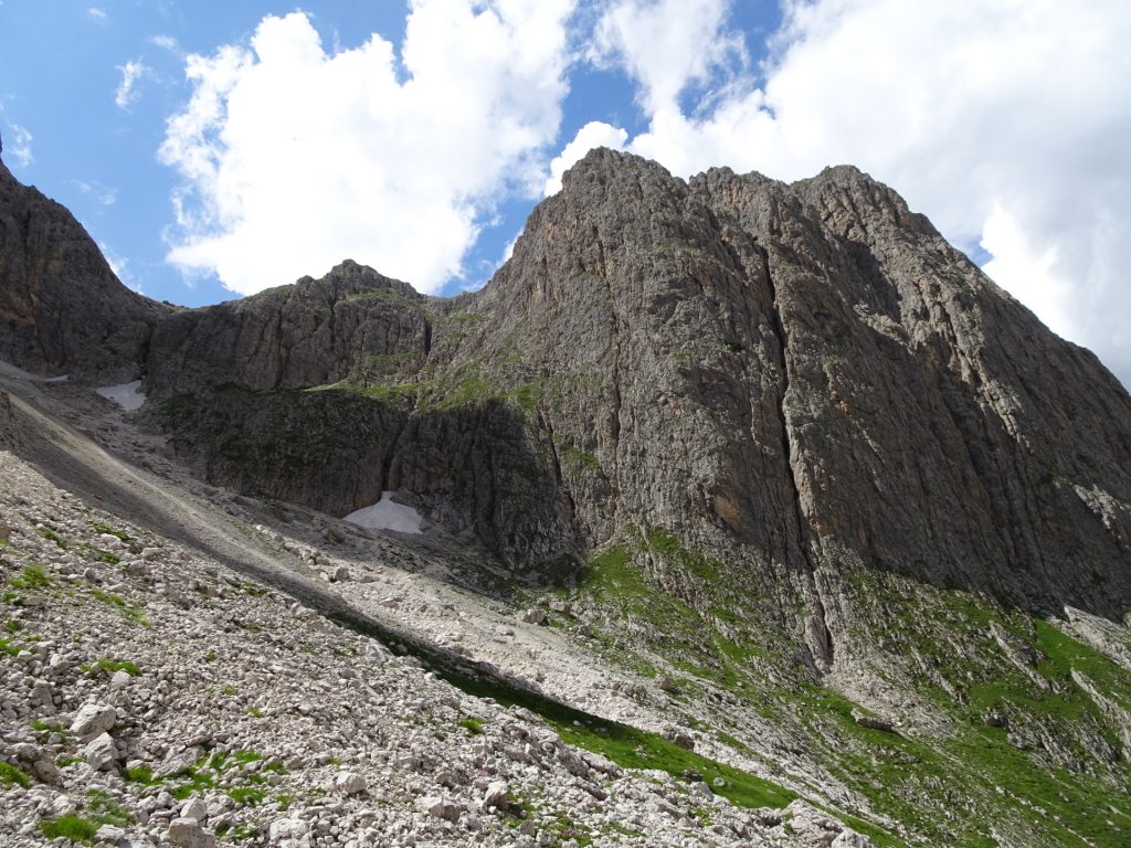
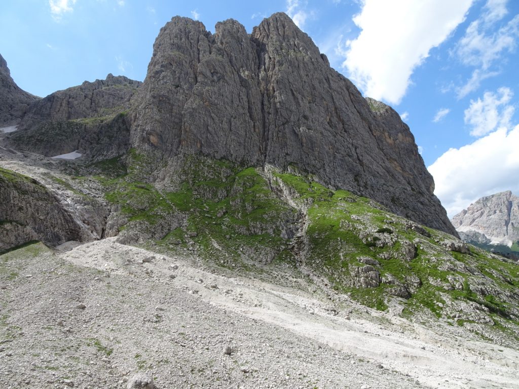
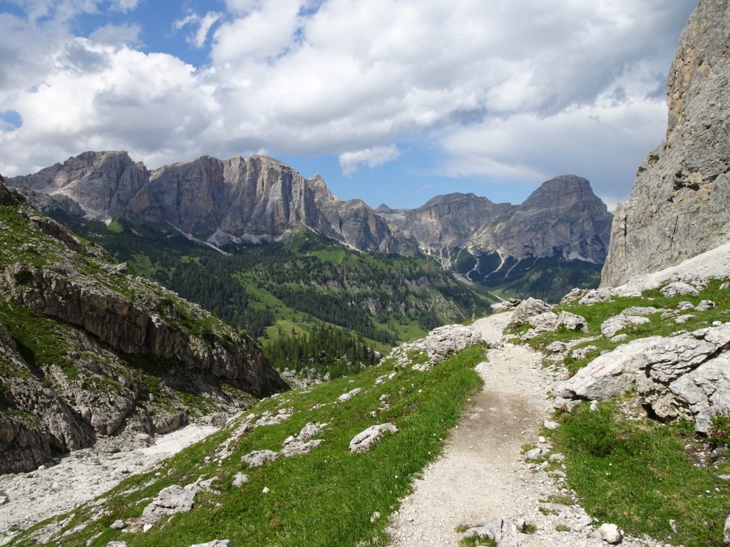
| 05:40 | The descent towards the Mittagstal now becomes steep but is well protected with iron cables (in bad conditions, consider using again a via ferrata set here!). |
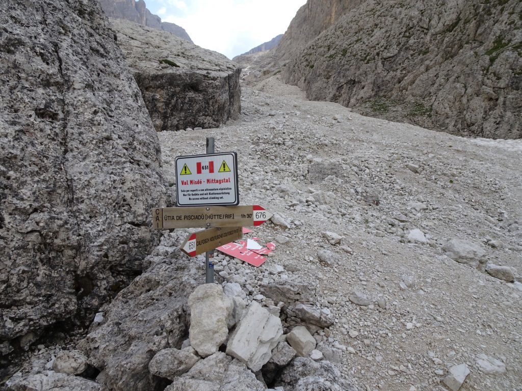
| 06:15 | At the crossing, turn left into the route 651 which leads downwards to the valley. |
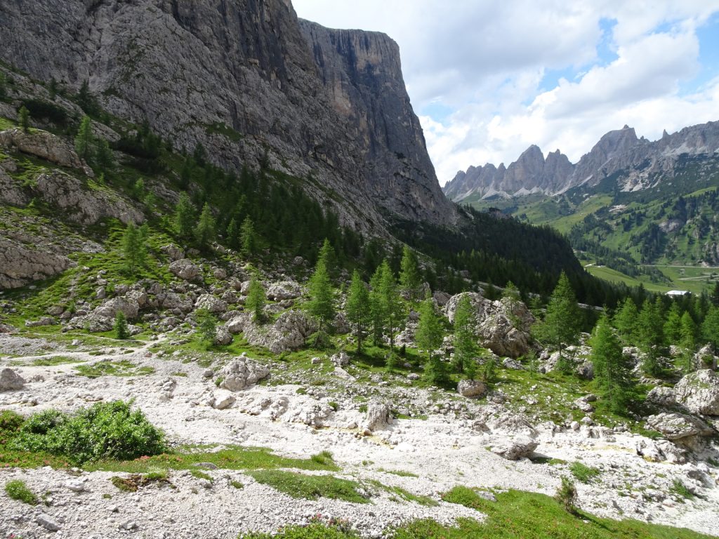
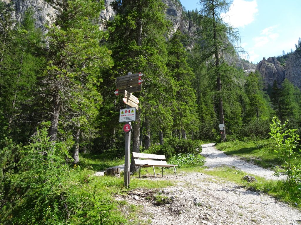
| 06:30 | At the crossing, keep straight and follow the trail next to the river downwards. If you want to skip the waterfalls, you can turn left here and follow the trail 29 which leads directly back to the parking. |
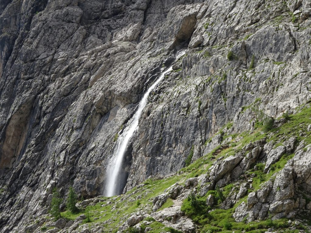
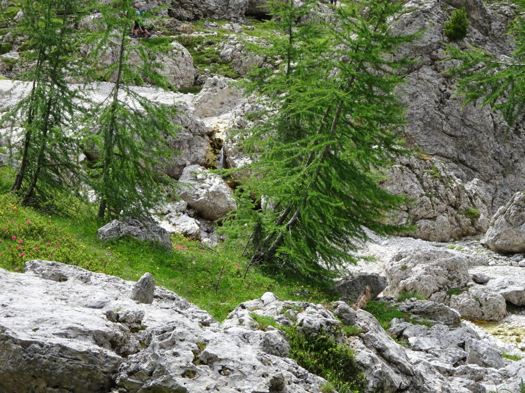
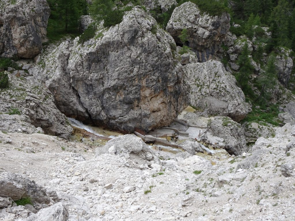
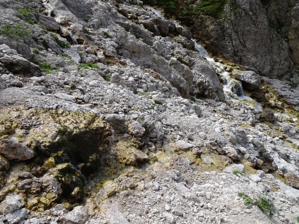
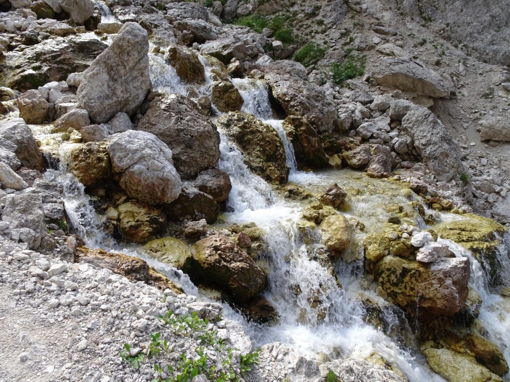
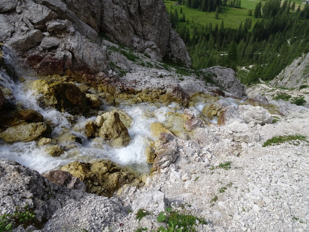
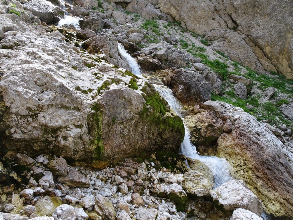
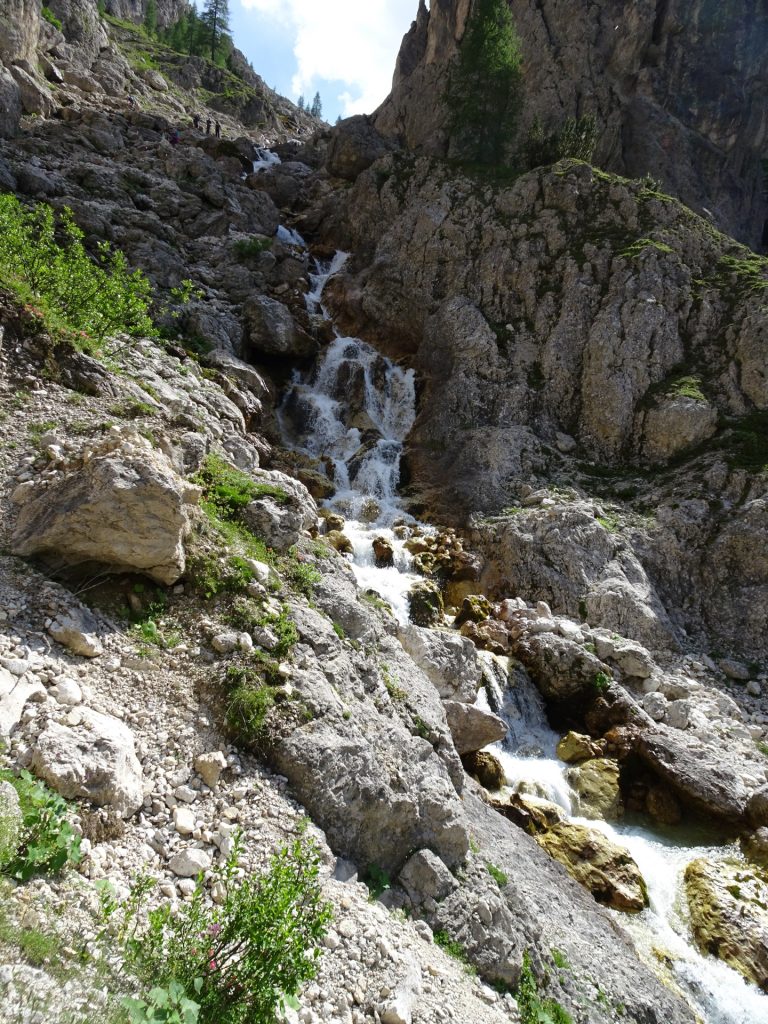
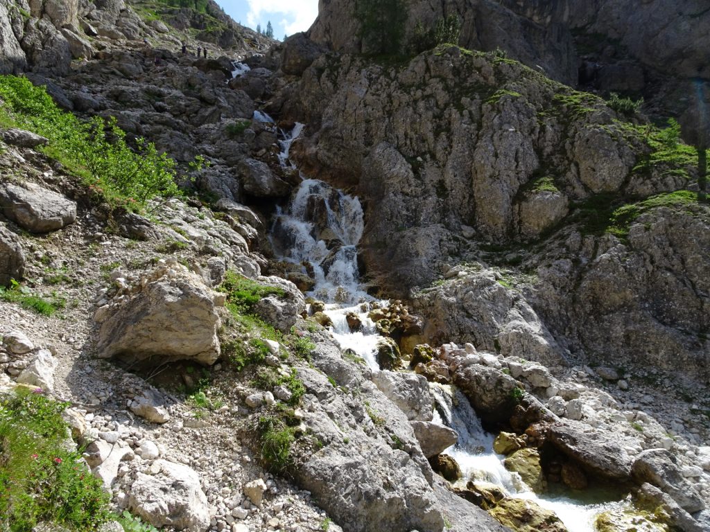
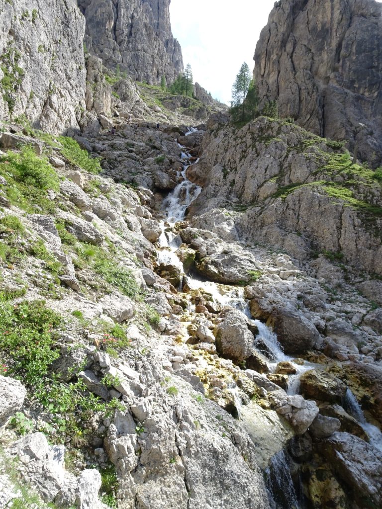
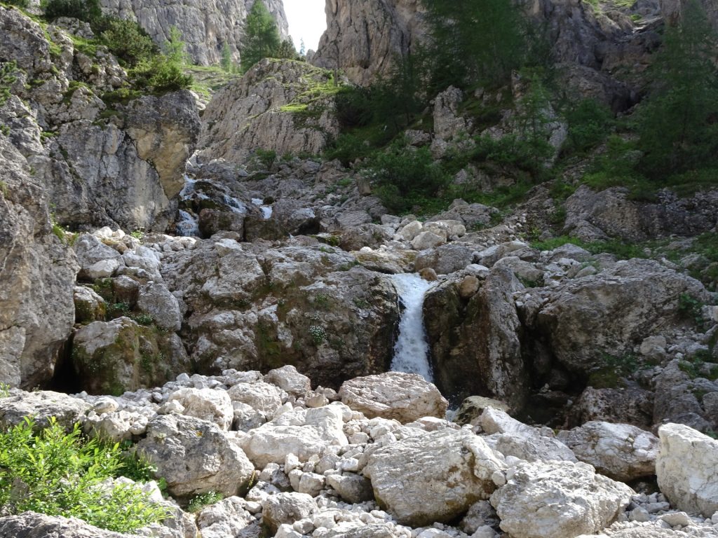
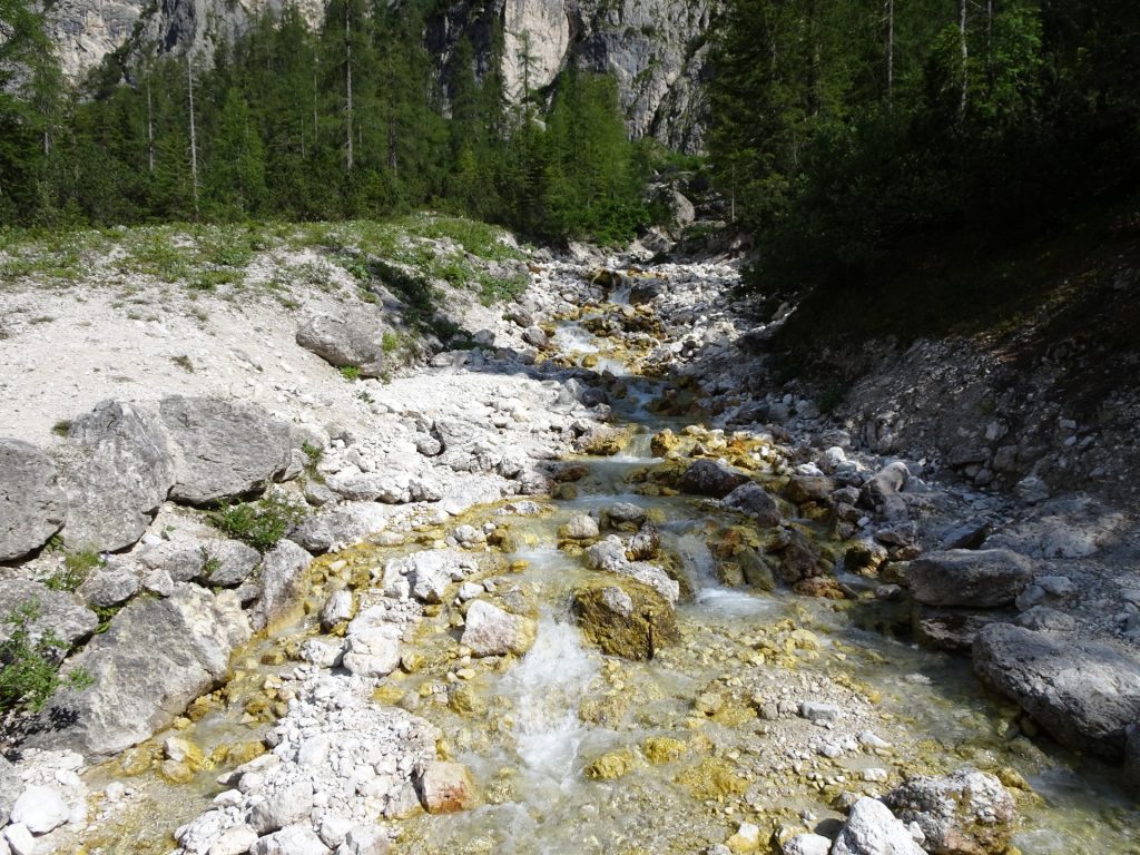
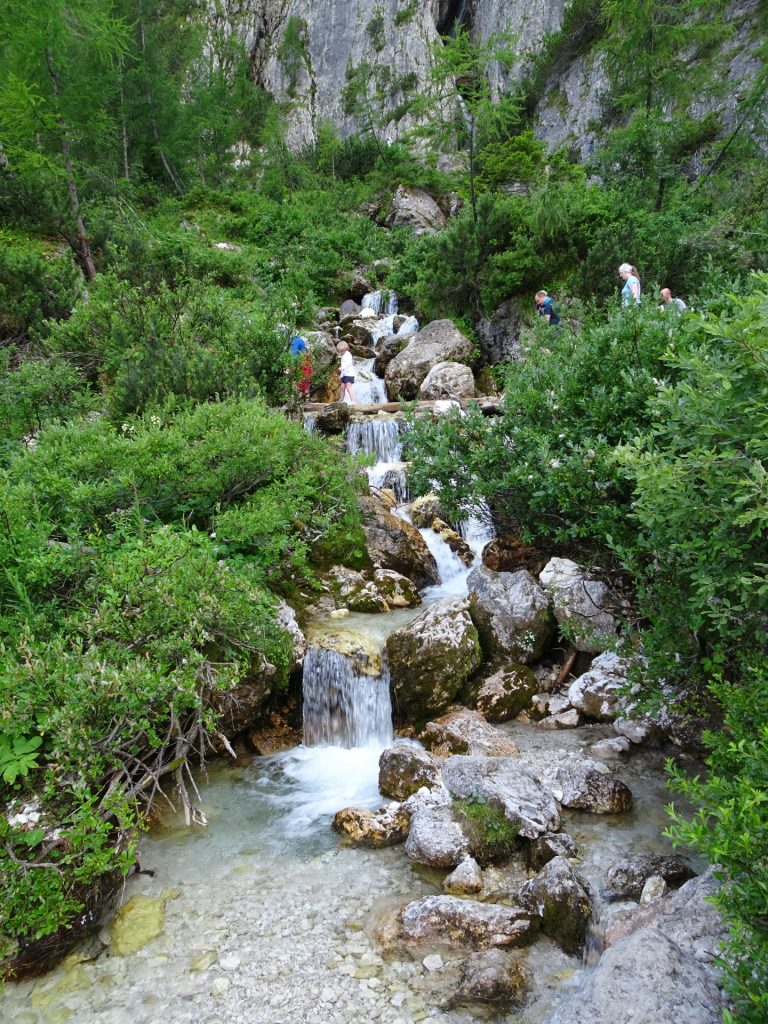
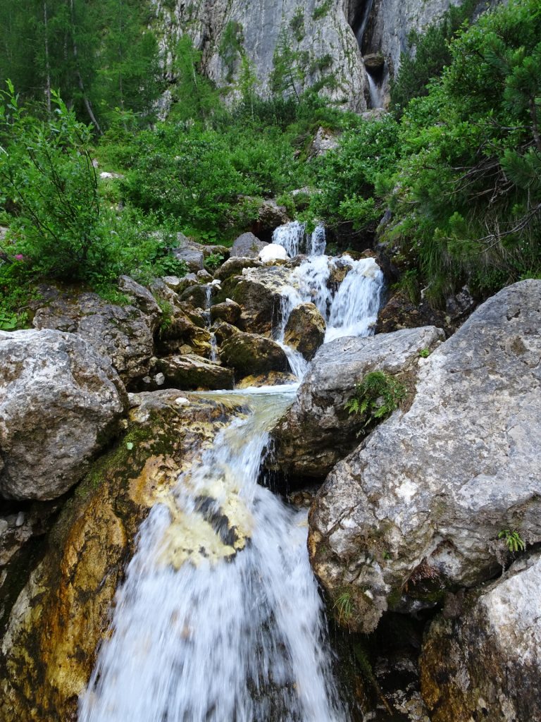
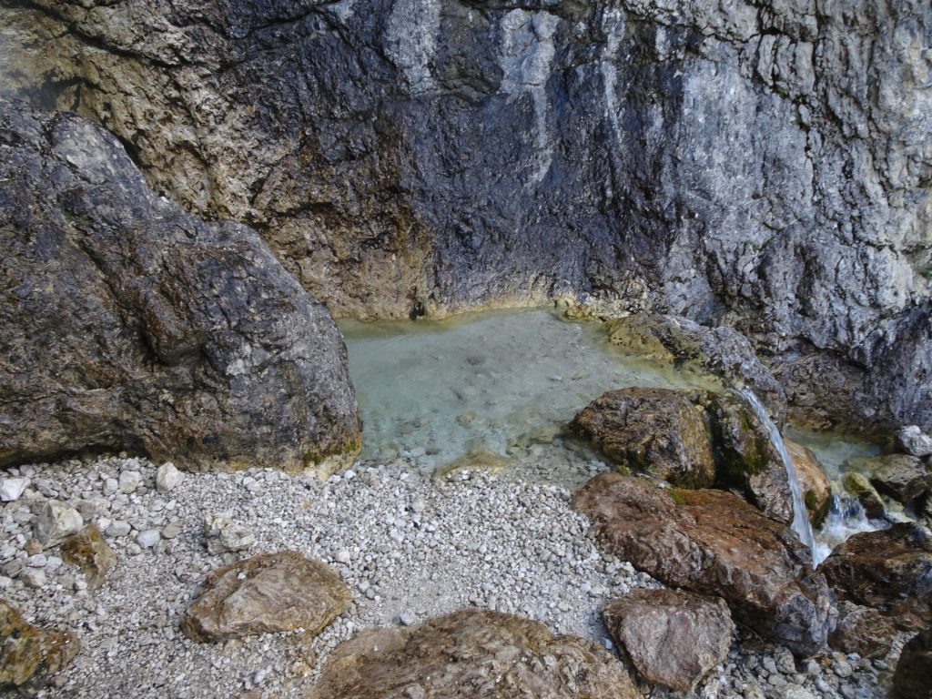
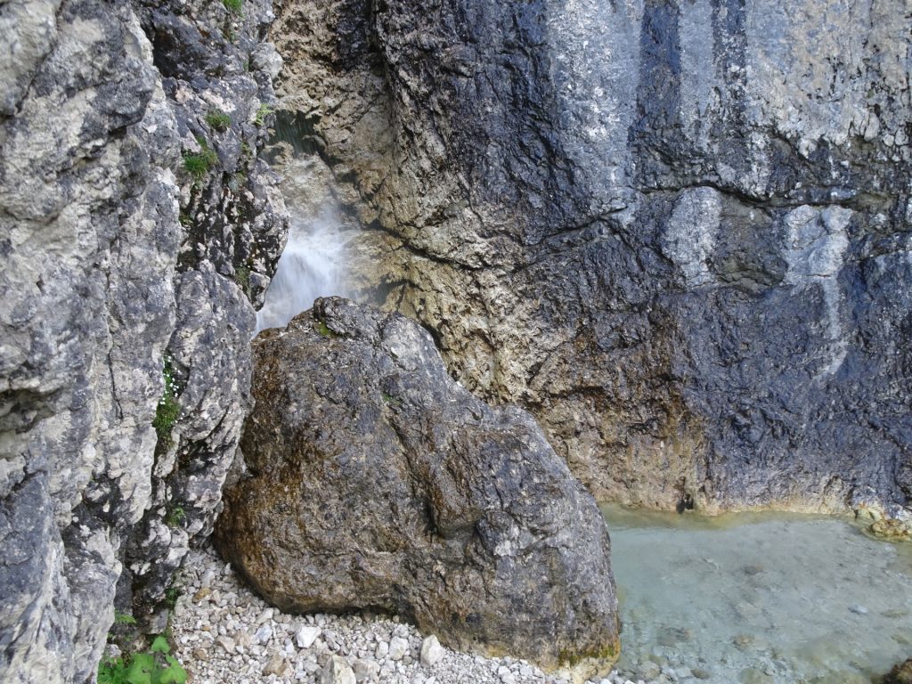
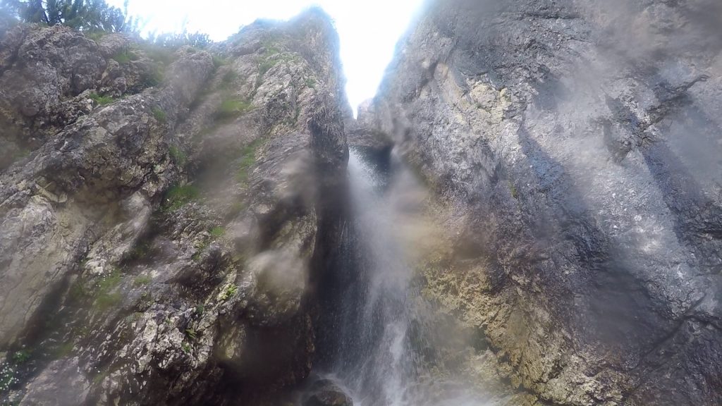
| 06:45 | Enjoy the waterfalls next to the trail. Turn around to get an even more impressive view. |
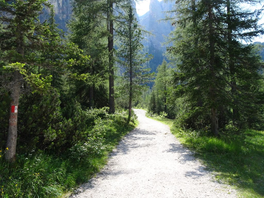
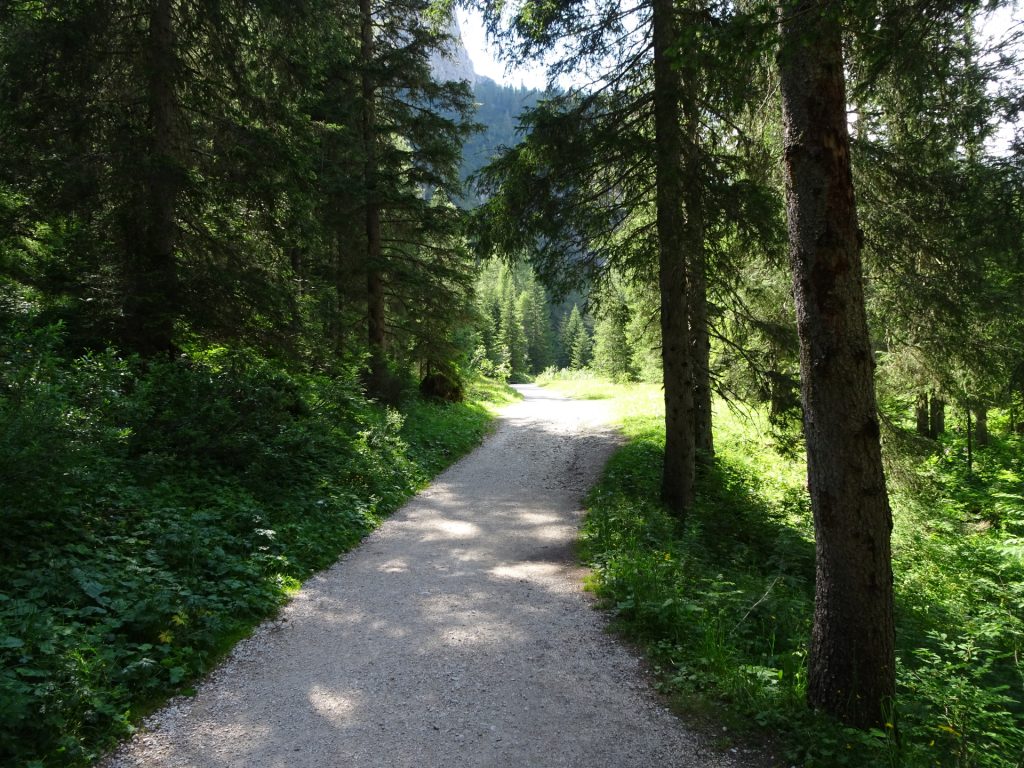
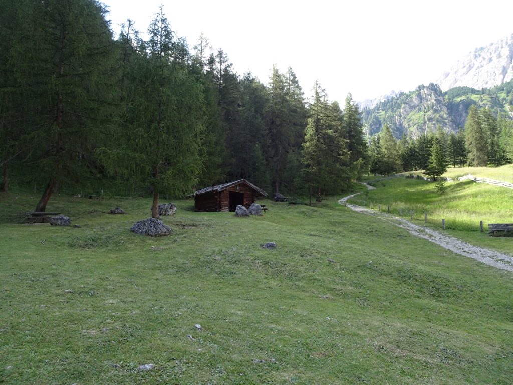
| 07:05 | At the crossing, turn left and follow the forest road back to the parking (passing the Pisciadù waterfall). |
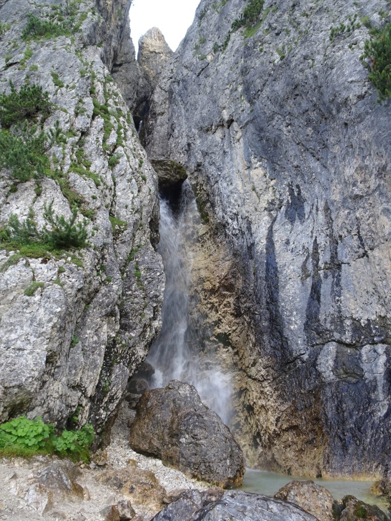
| 07:15 | [Optional but recommended]* Turn left and follow the small trail towards the Pisciadù waterfall. |
| 07:25 | *Short break at the Pisciadù waterfall. Follow the same trail back to the main route. |
| 07:30 | Follow the route (turn left if done the detour) back to the parking. |
| 07:35 | At the crossing, turn left and follow the route 650 which brings you directly back to the parking. |
| 07:55 | Back at the parking, end of the tour. |
At a glance
| Level | moderate – alpine! |
| – UIAA Level (Climbing) | I |
| – Via Ferrata Category | C |
| Technique | |
| Shape / Fitness | |
| Experience | |
| Scenery | |
| Best time in the year | |
|
Jan
Feb
Mar
Apr
May
Jun
Jul
Aug
Sep
Oct
Nov
Dec
|
|
General Tour Data
| Area: | Dolomiti, Sella group, South-Tyrol, Italy | |
| Distance: | 11km | |
| Ascent: | 1341m (4h 20min) | |
| Descent: | 1356m (2h 45min) | |
| Highest Pt: | 2983m | |
| Lowest Pt: | 1692m | |
| Duration: | 7h 25min (without breaks) 7h 55min (with breaks) |
|
| Stop/Rest: | Rifugio Franco Cavazza al Pisciadù (2587m) | |
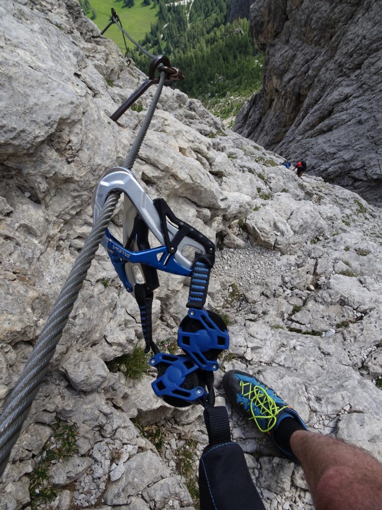
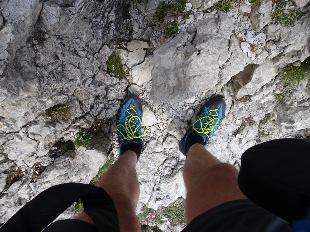
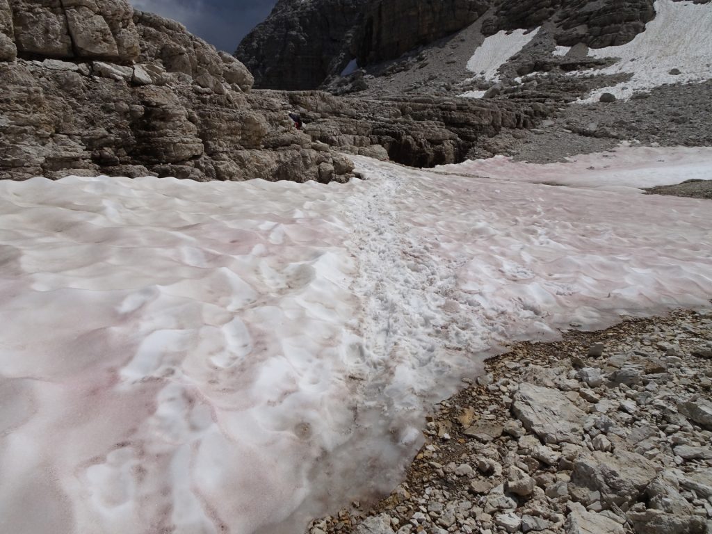
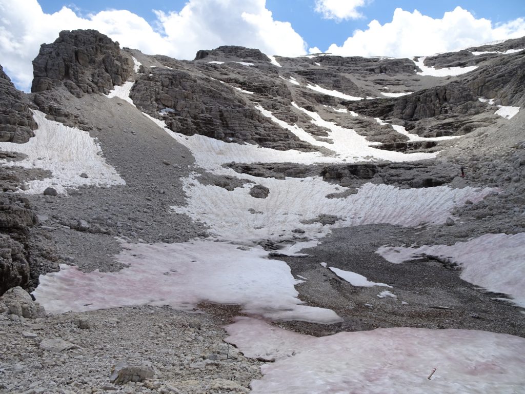
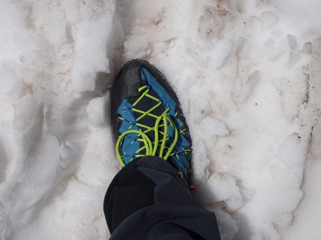
| Equipment: | Via ferrata set incl. helmet Backpack with standard hiking equipment Solid hiking shoes (waterproof) with good grip Chains (“Grödeln”) or crampons (snowfields till late summer) Snacks and plenty of water 1x Gipfelbier Sun & Weather protection Camera |
|
| Topo/Map: | Pisciadù Via Ferrata (C) |
| Download GPX | ||
| O | Tour at outdooractive.com |












Leave a Reply