
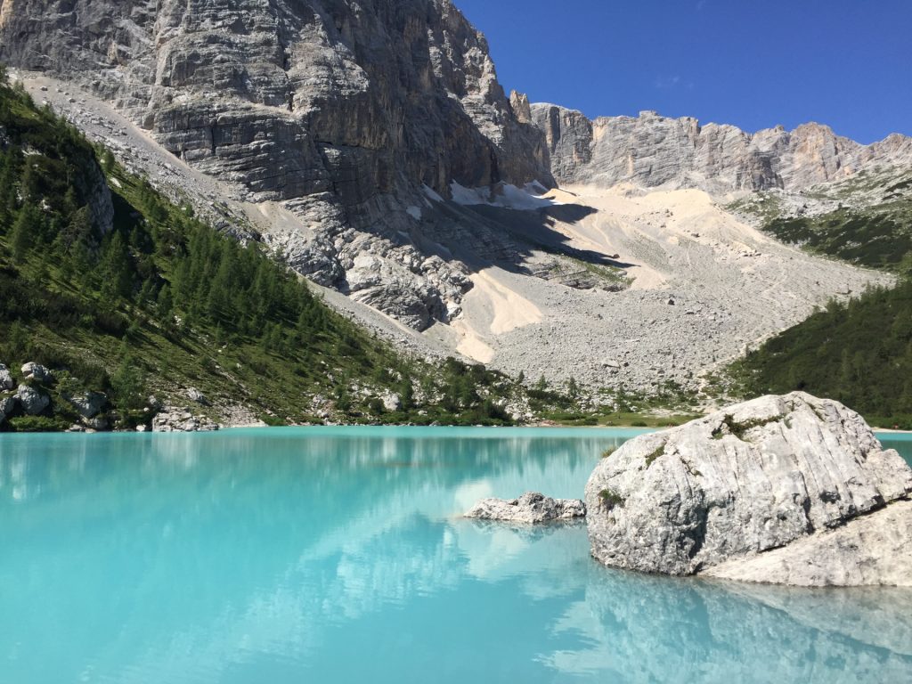
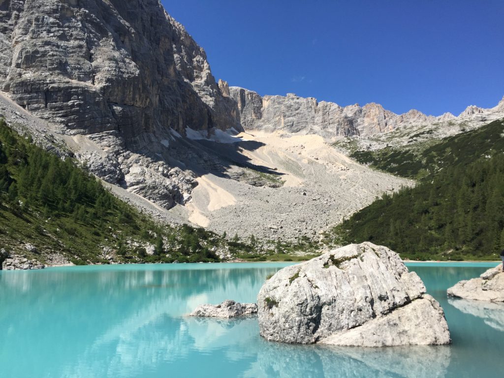
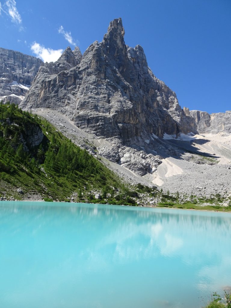
Extremely promising tour towards a nature jewel in the dolomites: the “Lago di Sorapis” (Lake Sorapis)
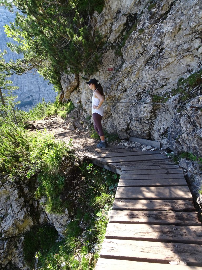
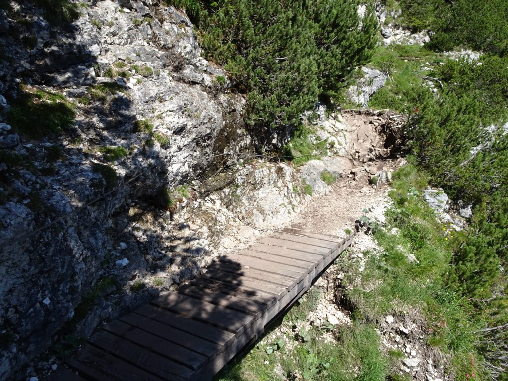
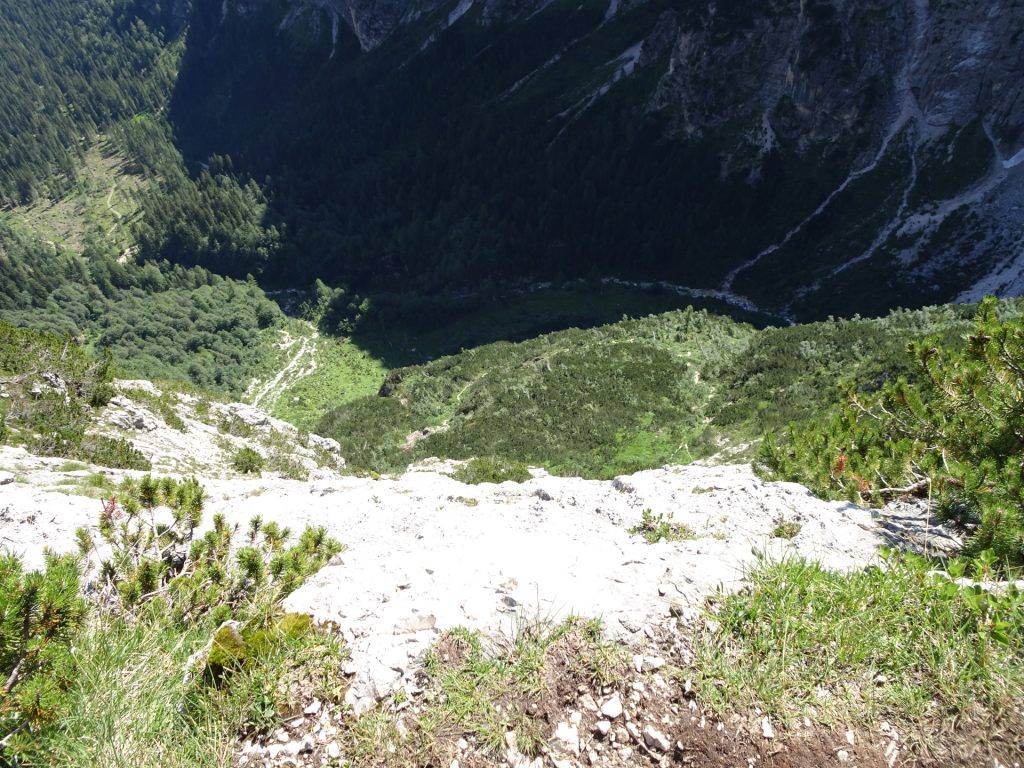
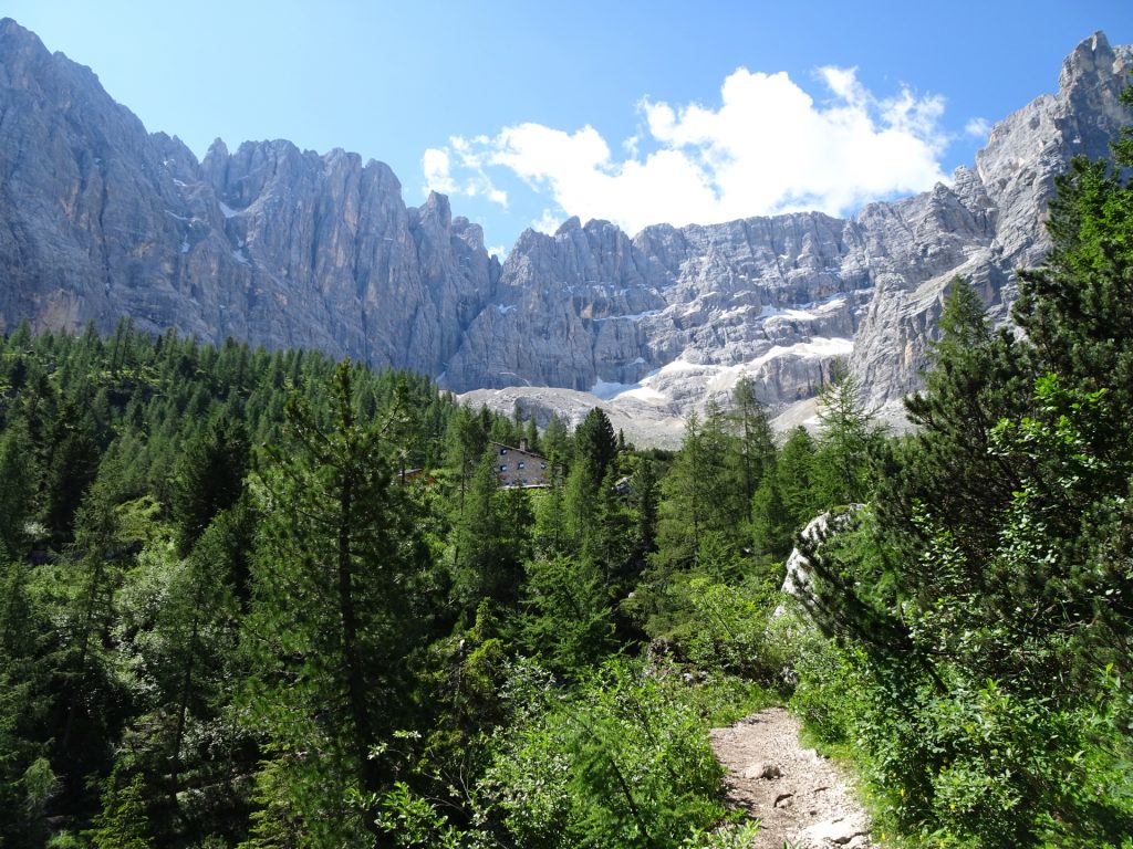
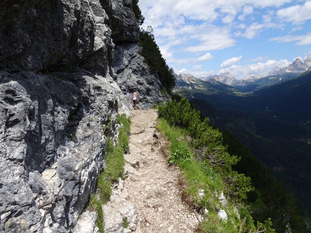
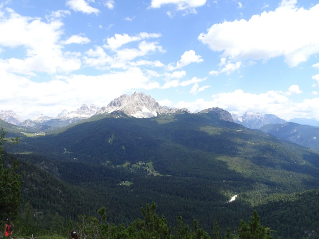
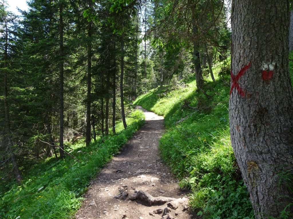
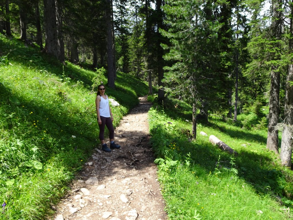
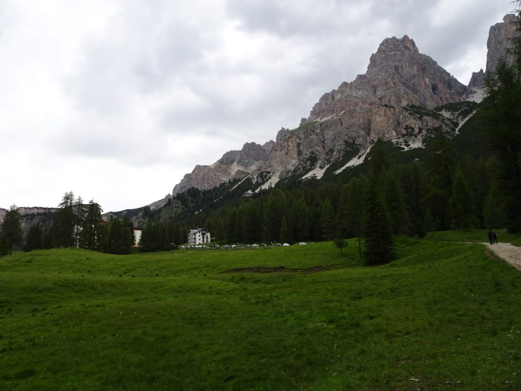
The tour starts at the parking Passo Tre Croci (GPS: 46.556156, 12.204604), and follows the forest road 215 towards the Rifugio al sorapis a vandelli hut. After walking a couple of minutes, the tour then turns into a trail through the woods and becomes more and more alpine. Shortly before arriving the lake, the tour gets slightly exposed but is always very well protected with fixed cables. After passing the Rifugio Vandelli hut, the tour ends at the extremely beautiful Lago del Sorapis lake. The tour uses the same route for the way back.
Tour Description
Tour Description
| 00:00 | Start at the parking Passo Tre Croci (GPS: 46.556156, 12.204604) and follow the route 215 towards the Rifugio al vandelli hut. |
| 00:20 | At the end of the forest road, keep left (downwards) and follow the smaller trail. |
| 00:40 | At the crossing (in the forest), keep right and follow the trail. |
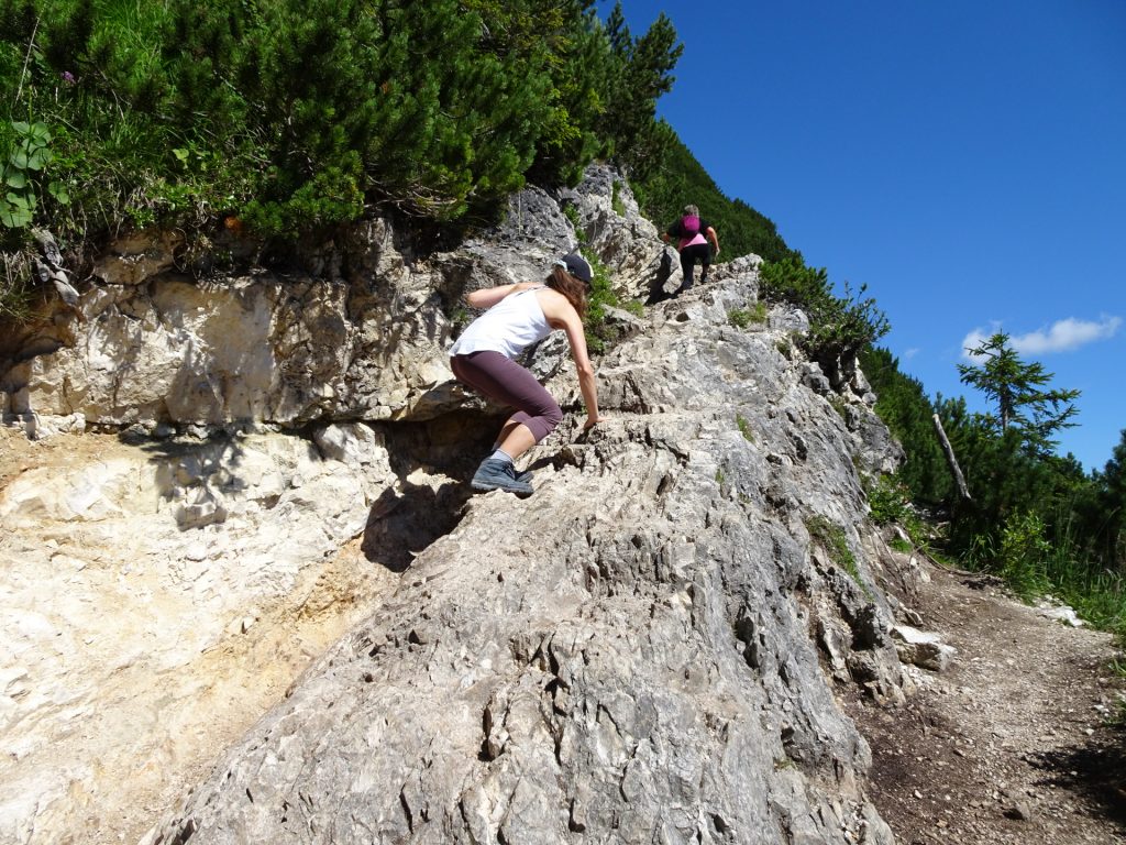
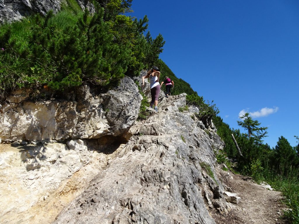
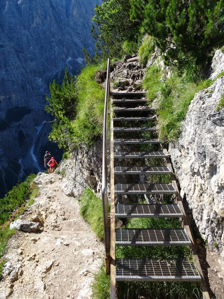
| 01:20 | The trail now becomes alpine. It first starts with a very easy climbing and stairs (protected with fixed cables). |
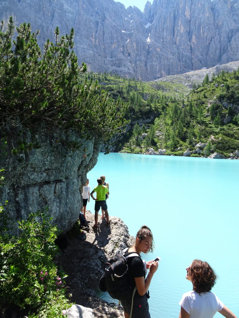
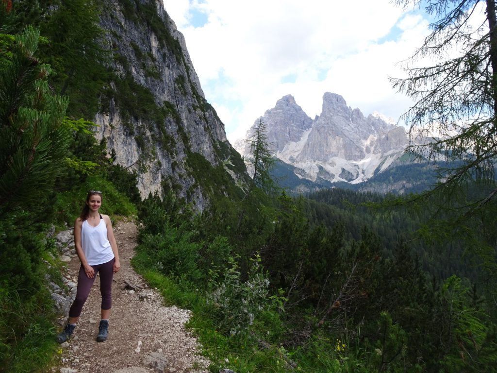
| 01:30 | The (easy) crux: A slightly exposed traverse but still broad trail and excellent protected with fixed cables. |
| 01:45 | At the crossing, keep straight and follow the trail. |
| 01:55 | At the crossing towards the Rifugio al vandelli hut, stay straight and follow the trail towards the lake. |
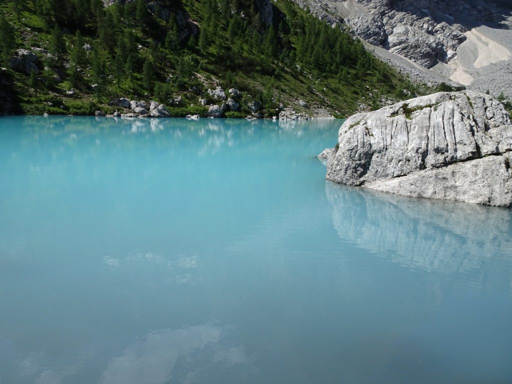
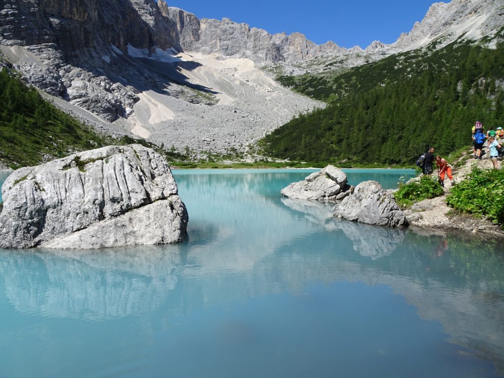
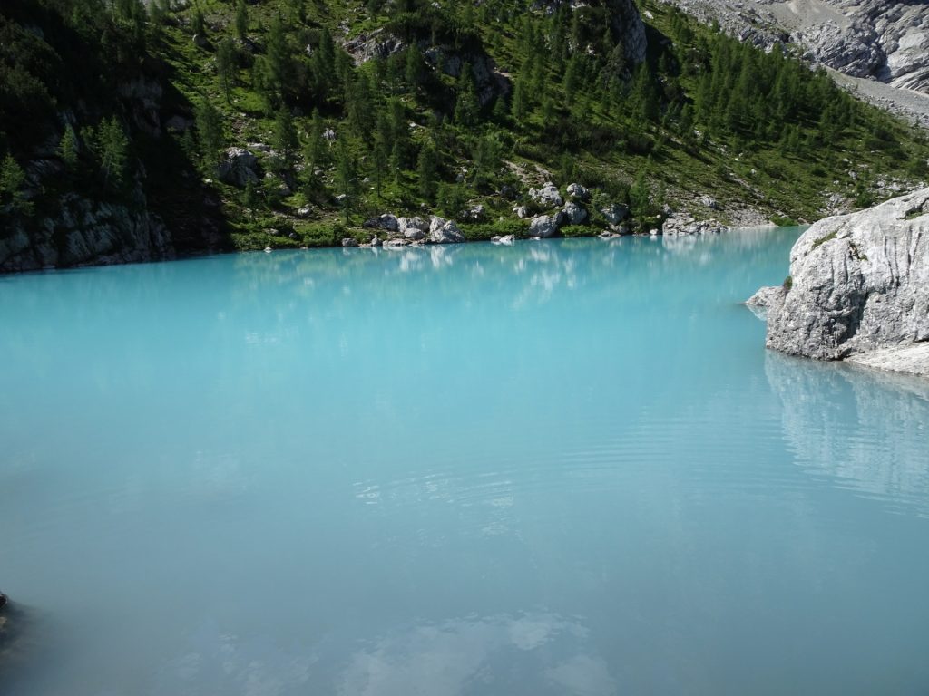
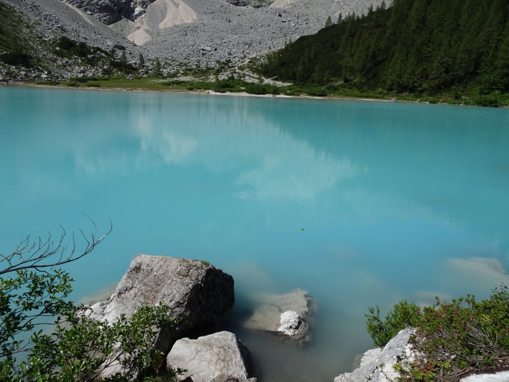
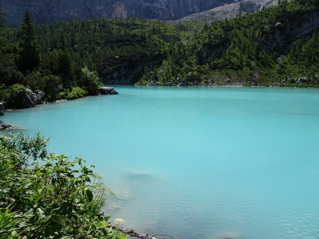
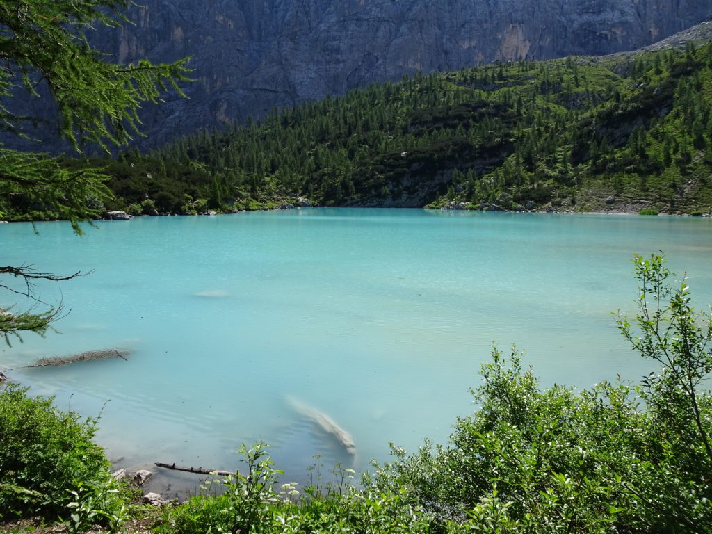
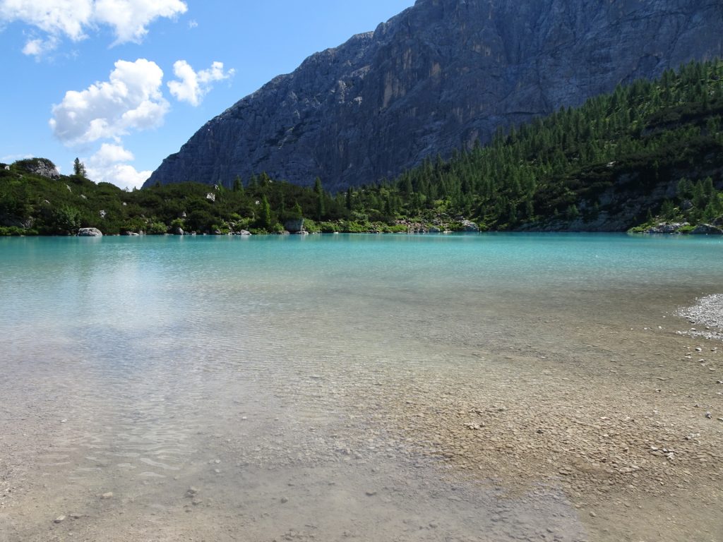
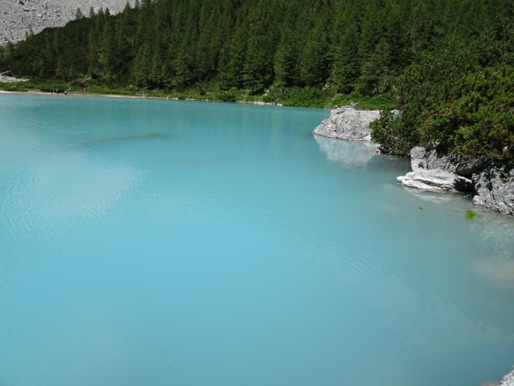
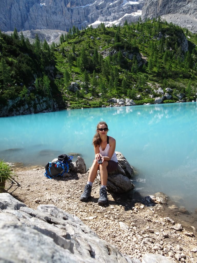
| 02:00 | Enjoy the beautiful and impressive lake. There is a trail around it, follow the trail to get more impressions. |
| 02:30 | Follow the same route backwards but this time turn right towards the Rifugio al vandelli hut. |
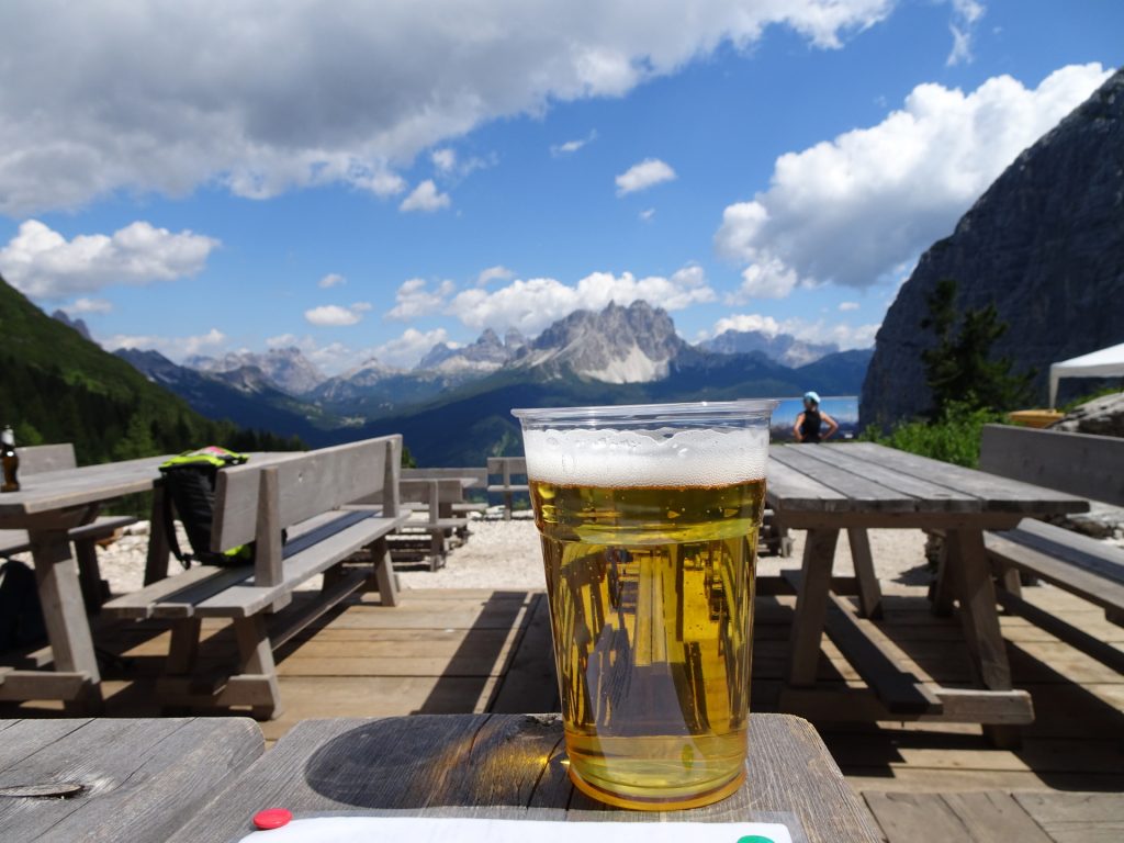
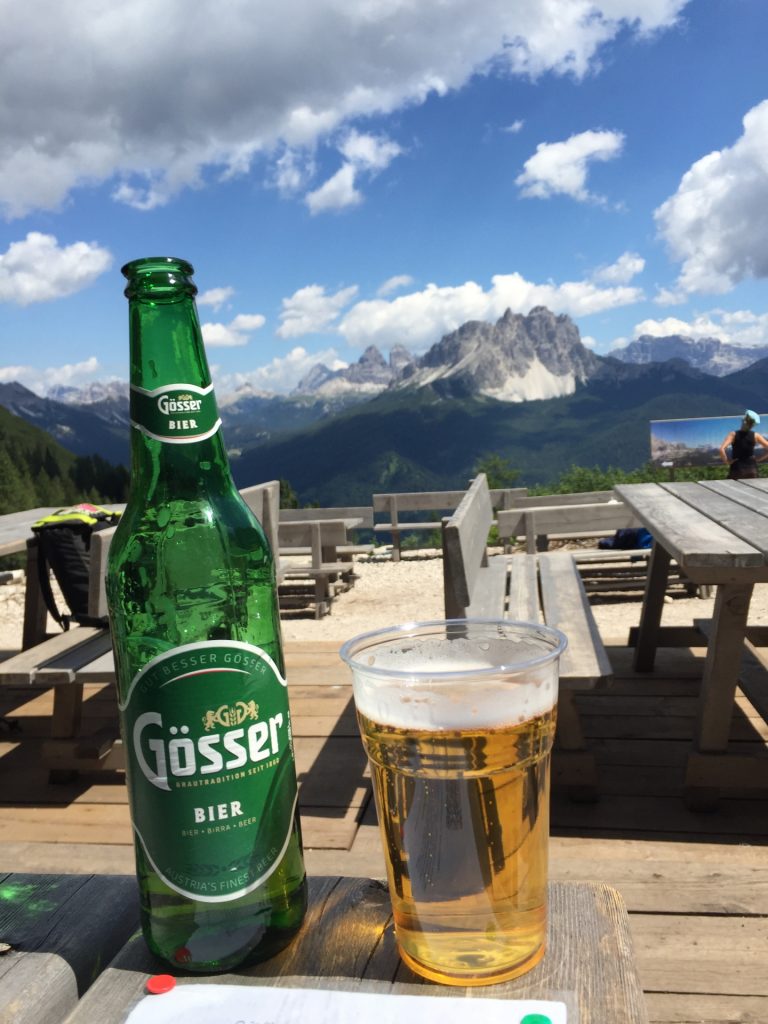
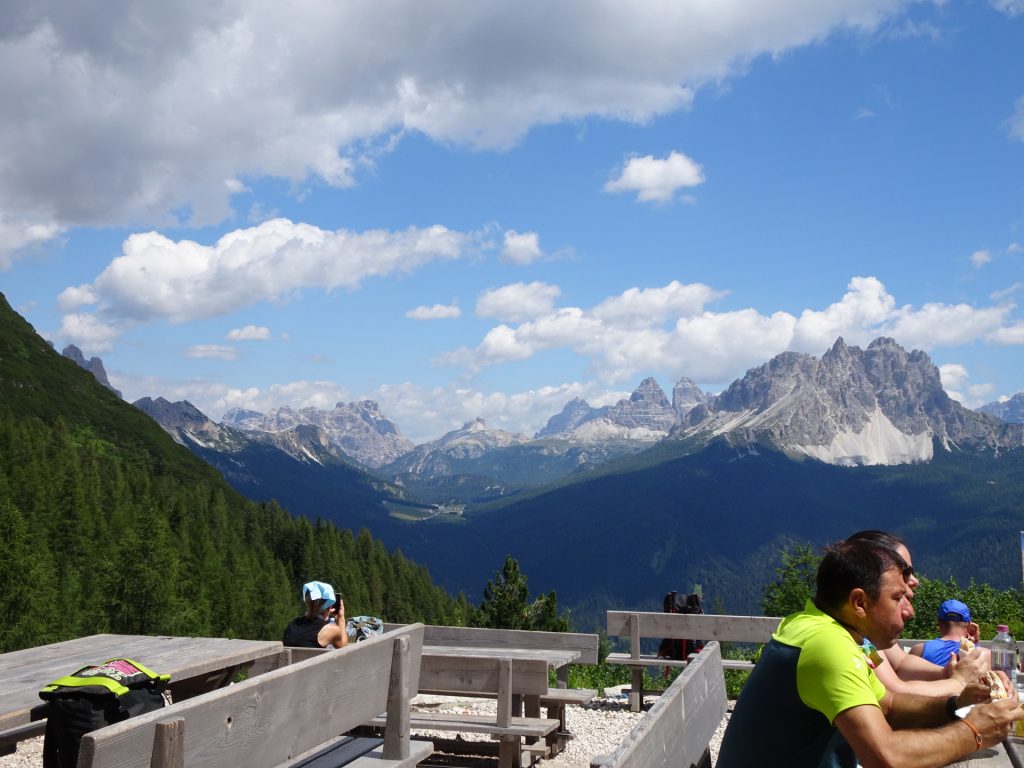
| 02:35 | Well deserved break at the Rifugio al vandelli hut ( ). |
| 03:05 | Follow the same route back towards the parking. |
| 05:00 | Back at the parking, end of the tour. |
At a glance
| Level | easy – moderate |
| Technique | |
| Shape / Fitness | |
| Experience | |
| Scenery | |
| Best time in the year | |
|
Jan
Feb
Mar
Apr
May
Jun
Jul
Aug
Sep
Oct
Nov
Dec
|
|
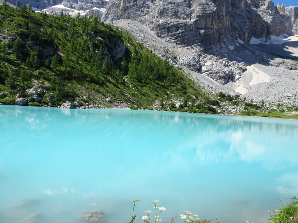
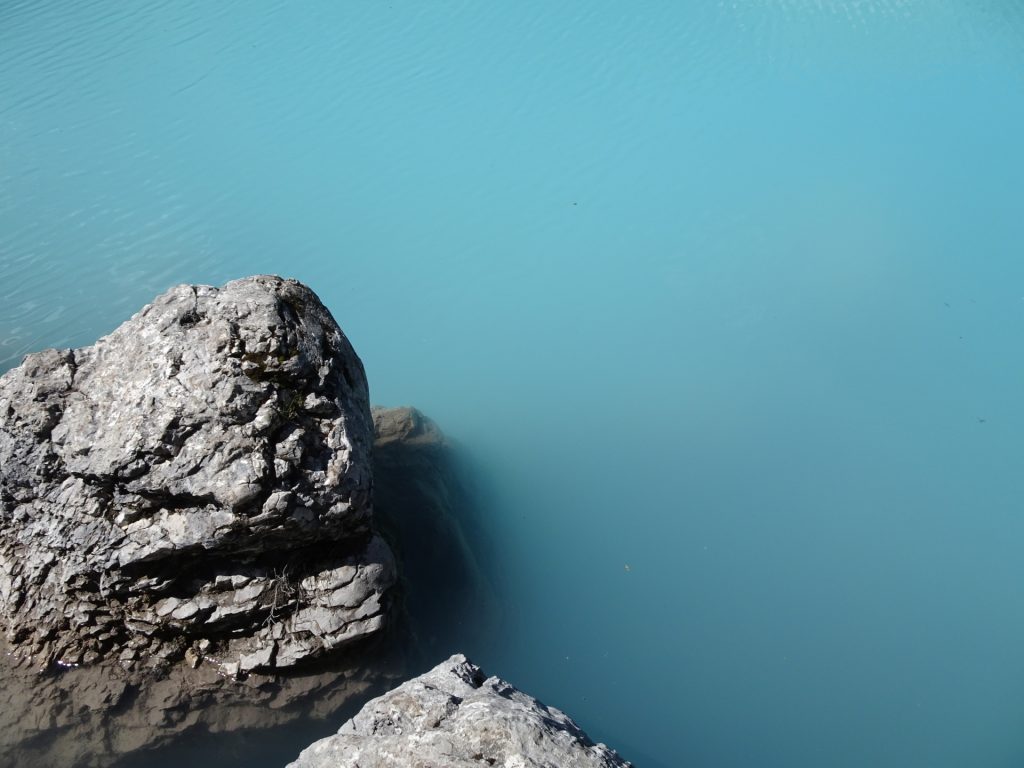
Interesting background info: The lake gets its unique turquoise colour from the dust of the surrounding glaciers which are feeding the lake.
General Tour Data
| Area: | Dolomiti, South-Tirol, Italy | |
| Distance: | 12km | |
| Ascent: | 400m (1h 45min) | |
| Descent: | 400m (1h 45min) | |
| Highest Pt: | 1942m | |
| Lowest Pt: | 1726m | |
| Duration: | 4h 30min (without breaks) 5h 00min (with breaks) |
|
| Stop/Rest: | Rifugio Vandelli (1926) | |
| Equipment: | Backpack with standard hiking equipment Proper hiking shoes Snacks, water Sun & Weather protection Camera |
| Download GPX | ||
| O | Tour at outdooractive.com |
Tour Diary
| Last tour: | 2020-07-21 09:00 | ||
| Weather: | Sunny, perfect | ||
| Participants: | Stefan, Debora | ||
| Activity: | Suunto | ||












Leave a Reply