
Climb on the Hohe Wand using various via ferratas
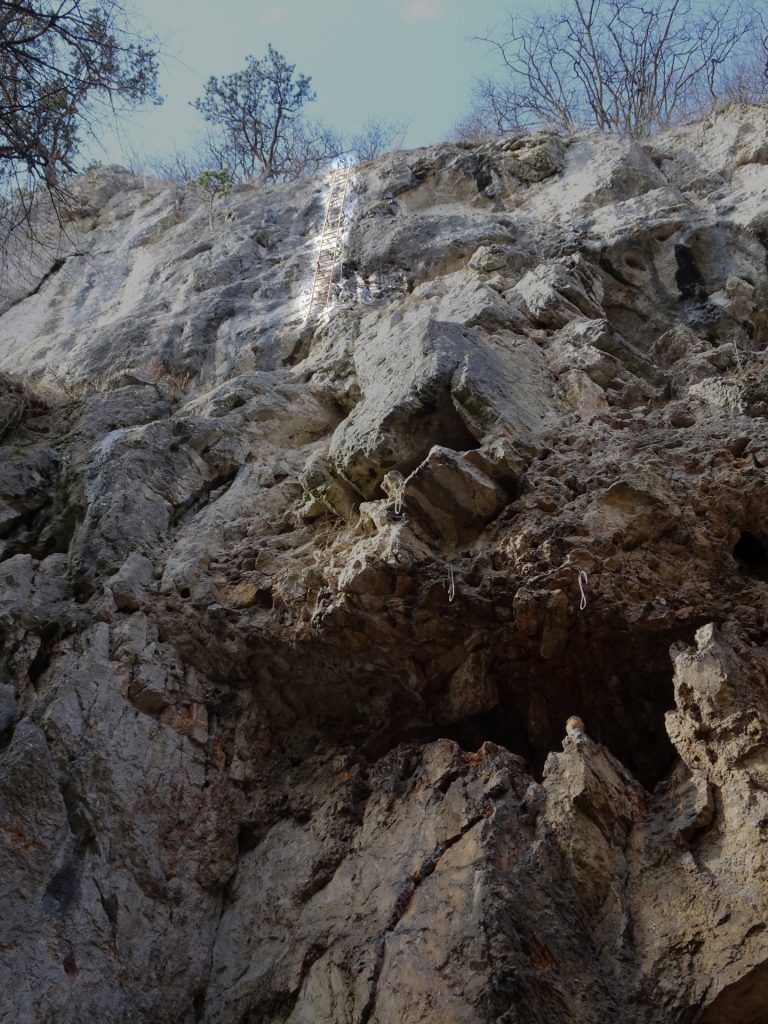
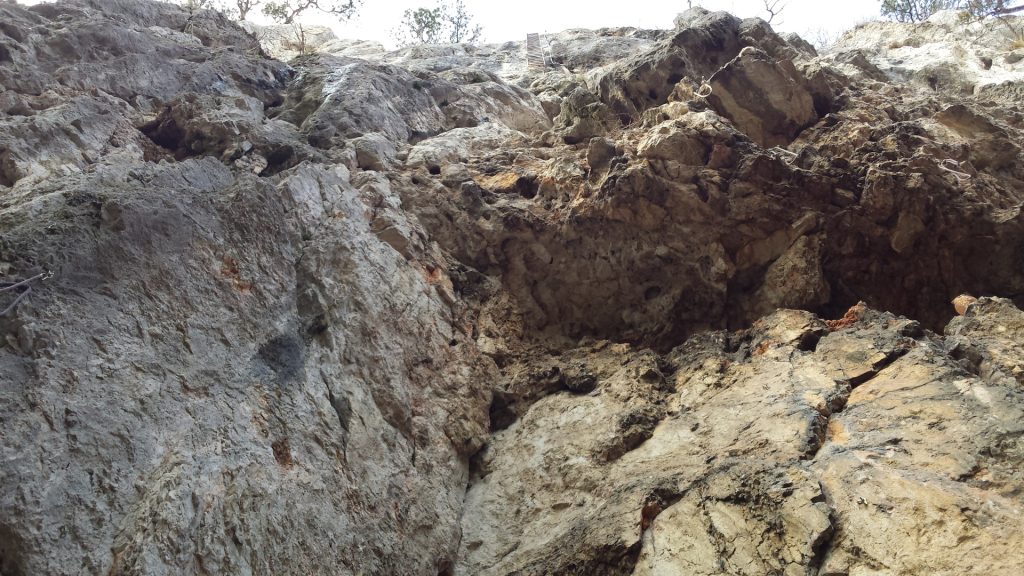
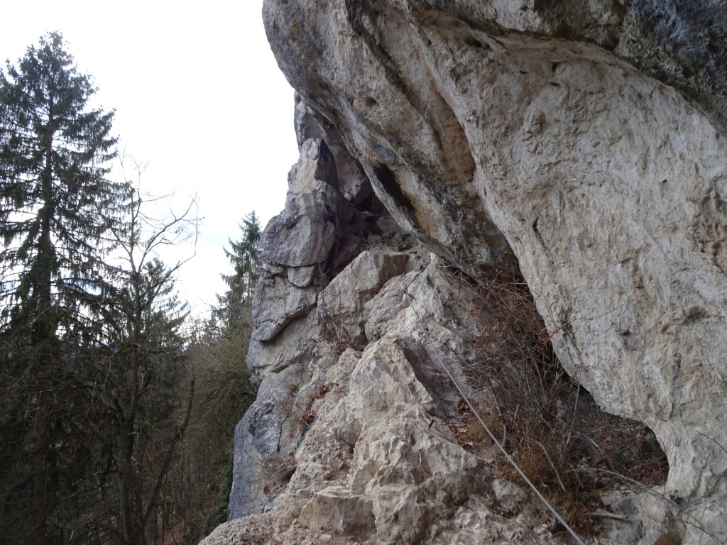
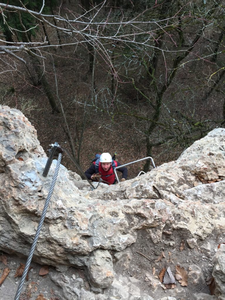
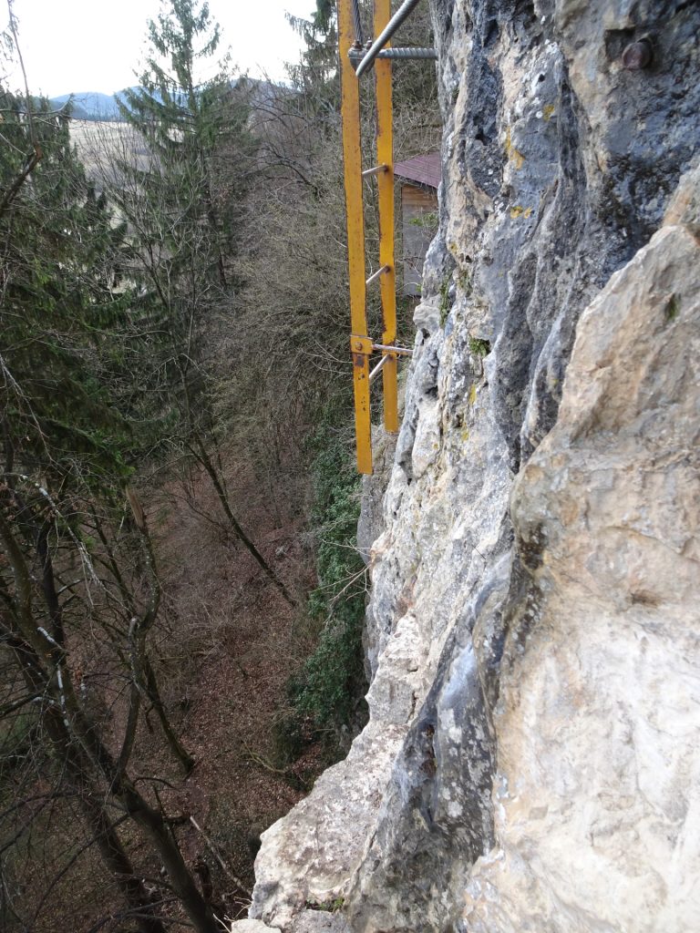
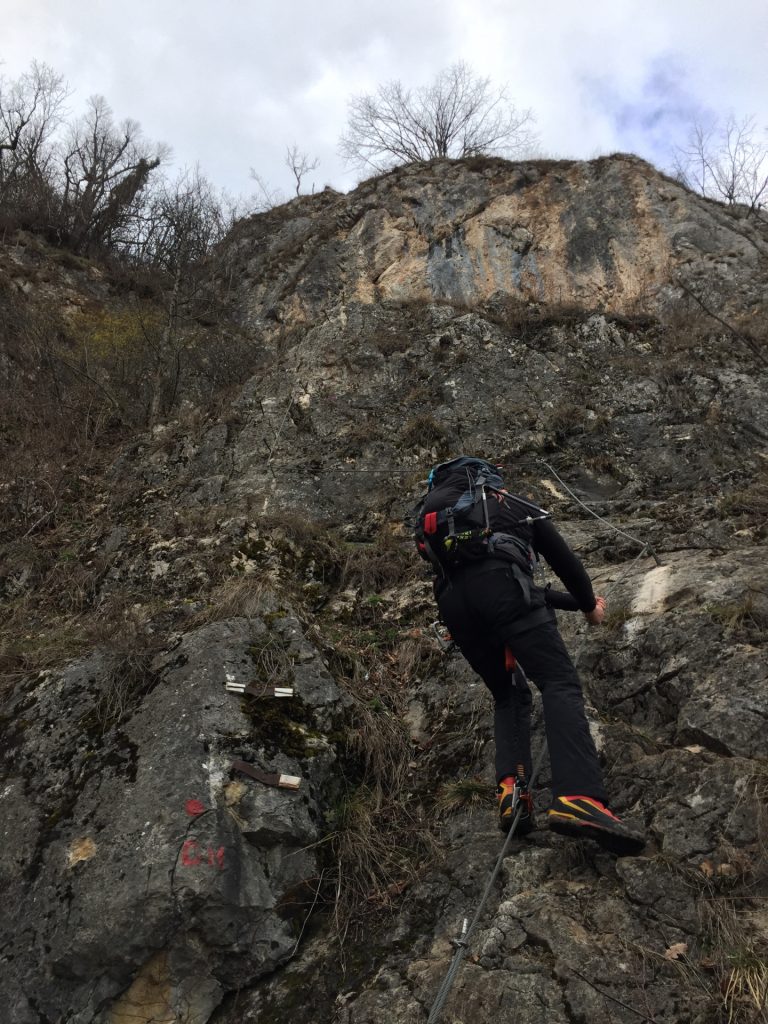
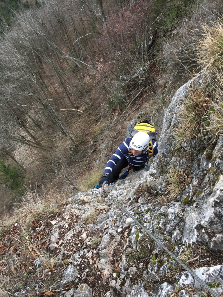
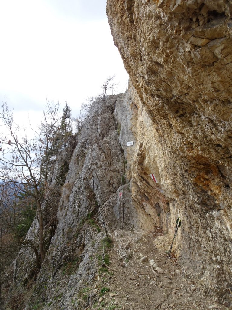
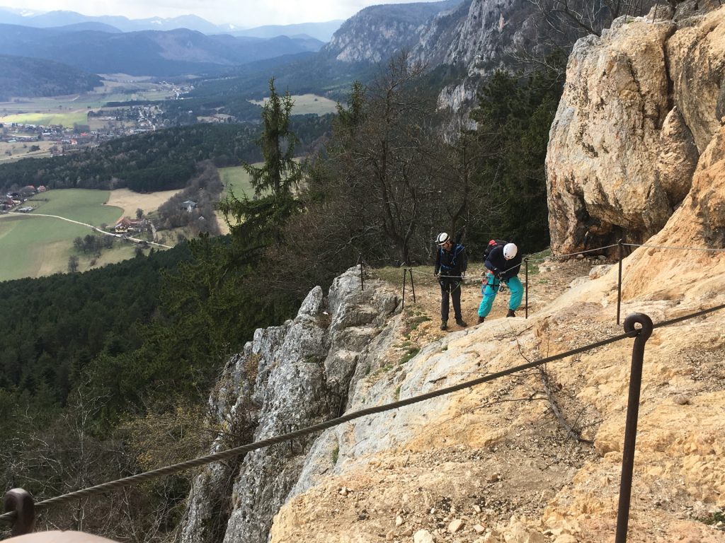
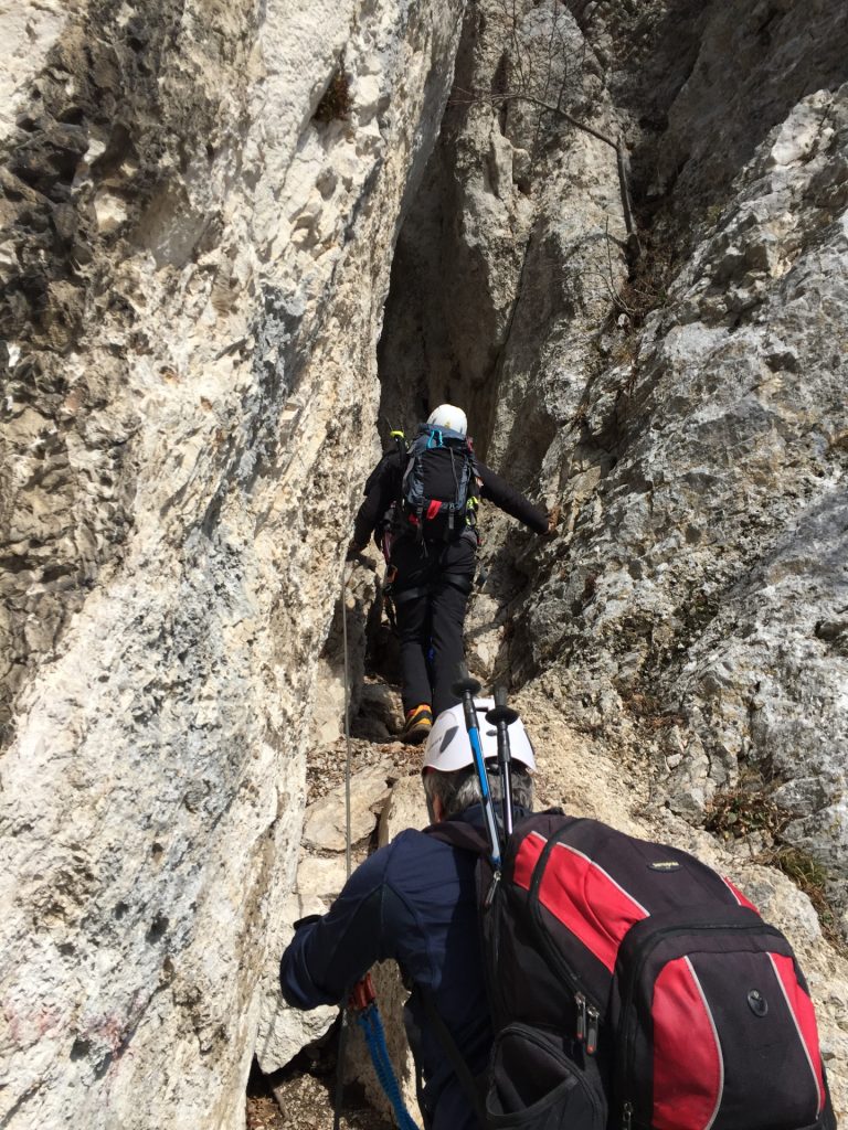
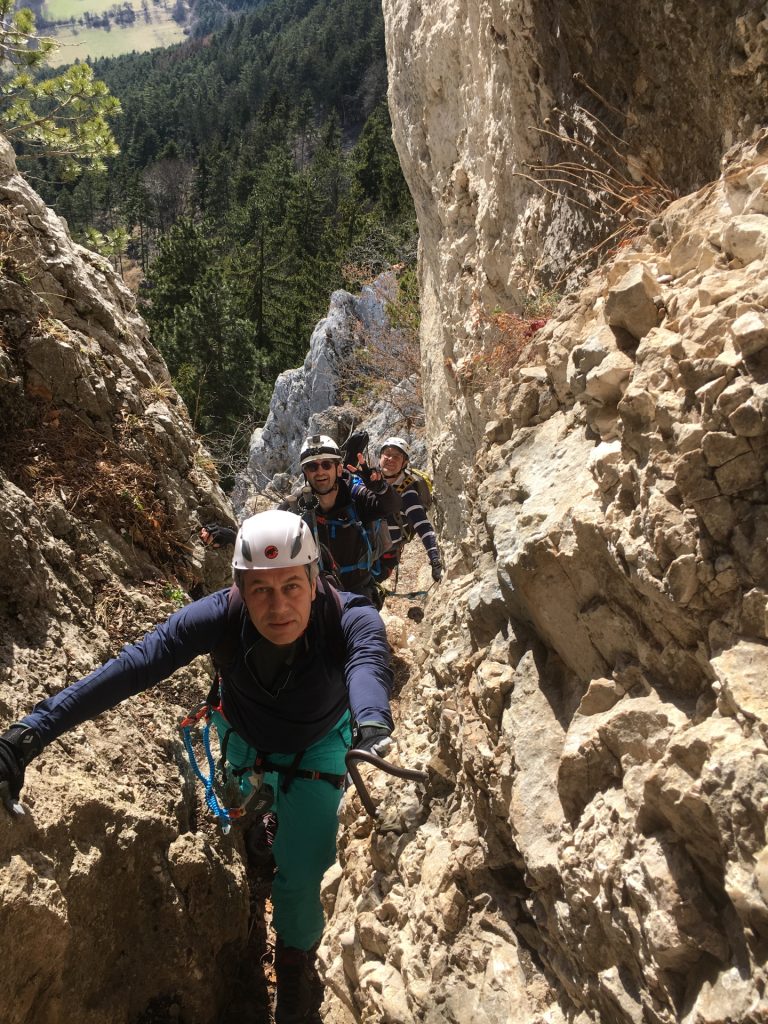
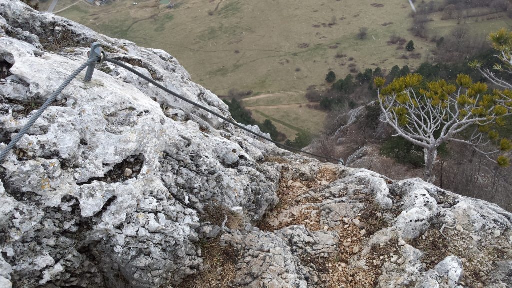
This tour combines various hiking trails and via ferratas in various difficulty levels (A – C/D) to ascend and descend the Hohe Wand – starting at the eastern end and heading towards its center westwards. The tour begins in Dreistetten and starts with the most exciting via ferrata: the Währingersteig (Cat. C) with its crux – an iron ladder in approx. 20 meters height that can only be reached by passing a traverse.
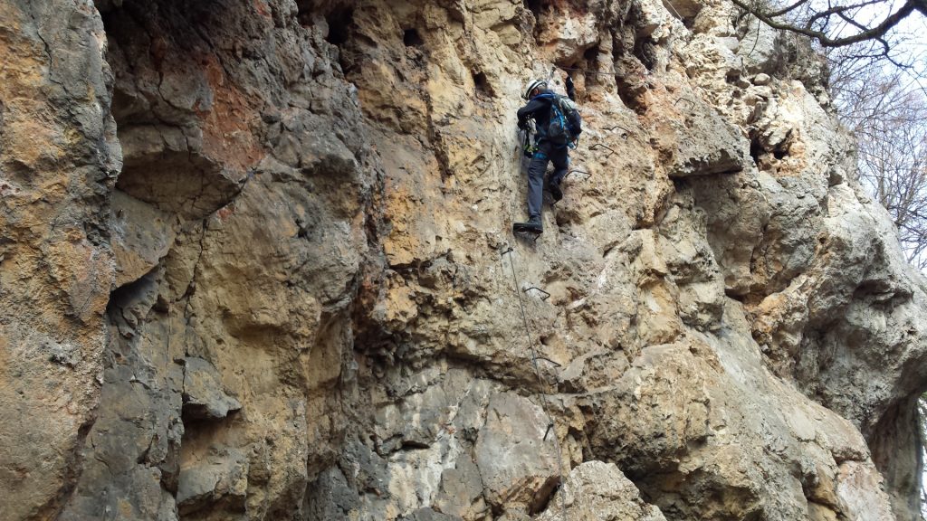
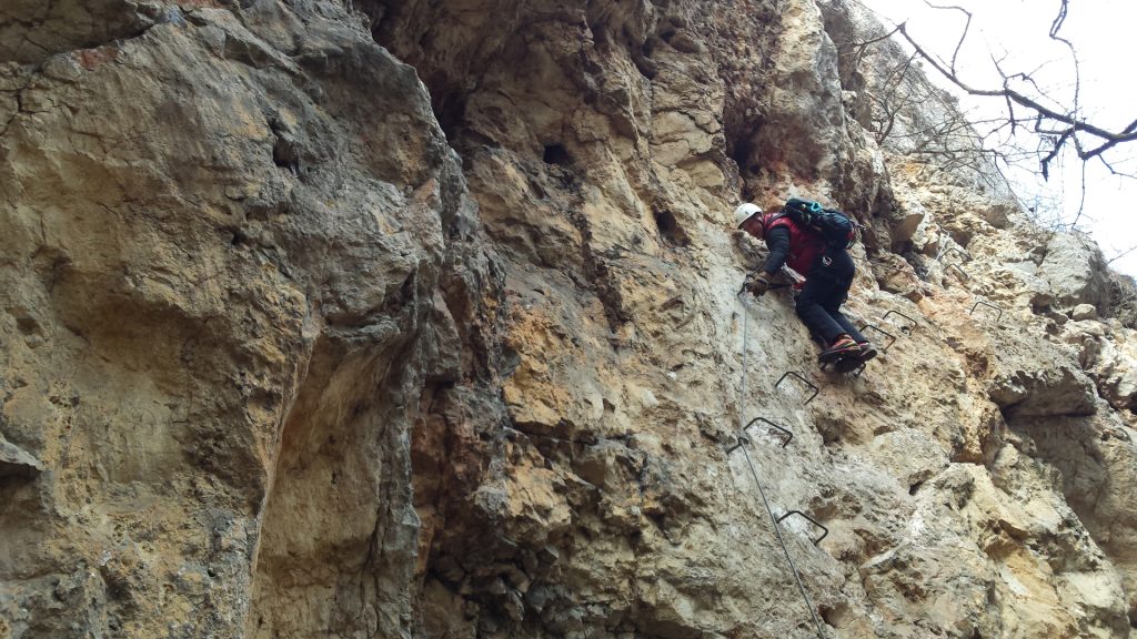
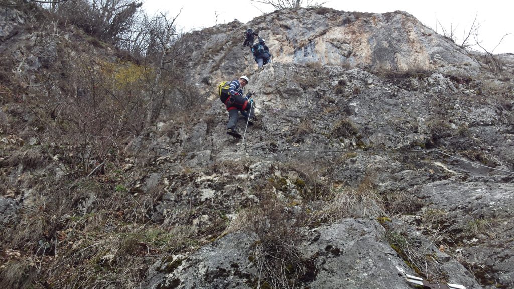
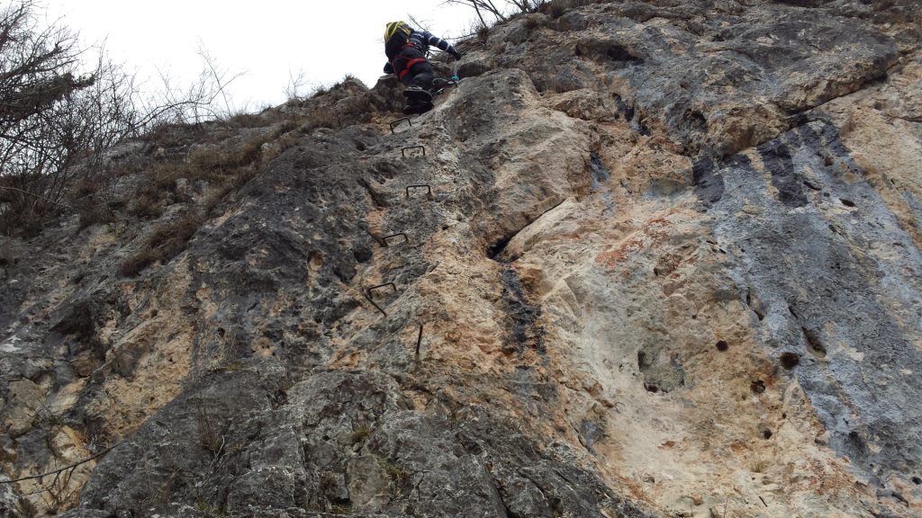
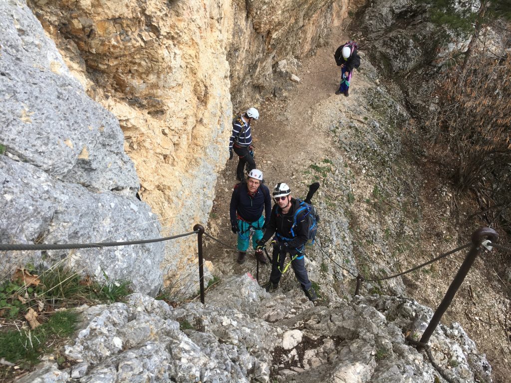
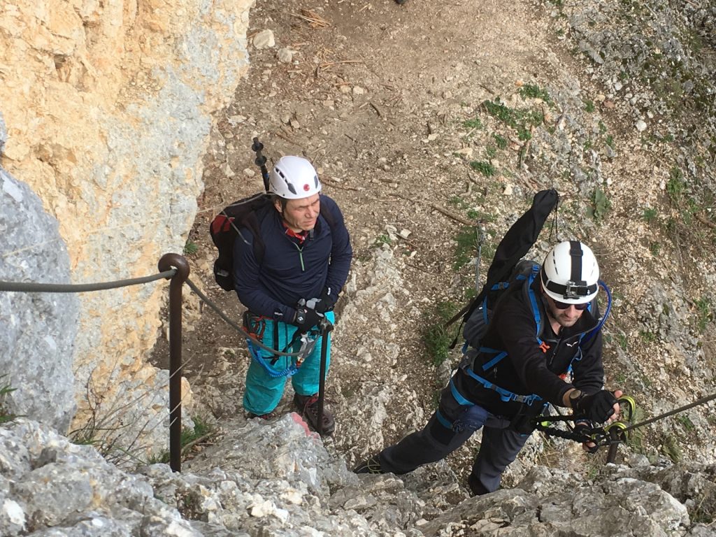
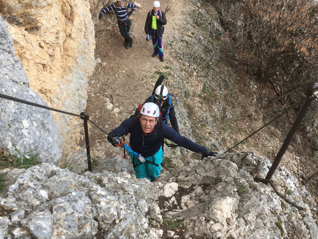
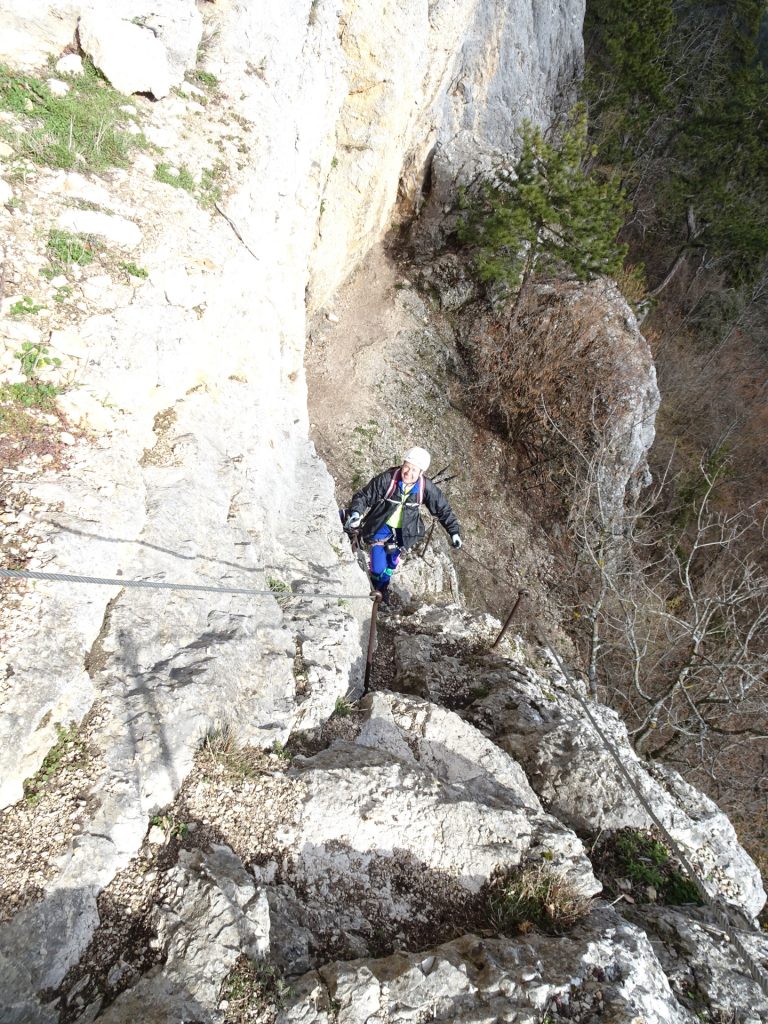
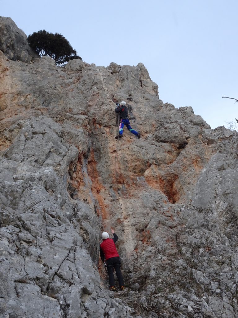
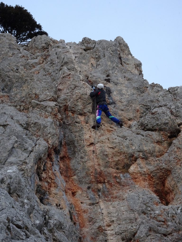
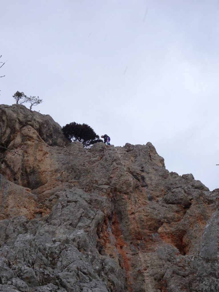
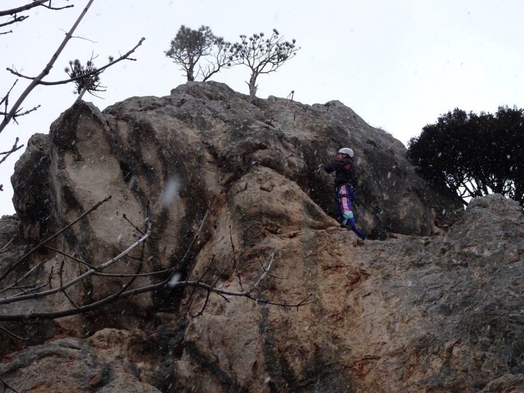
The tour then follows an easy hiking way downwards and along the Hohe Wand. The next ascent is done via the Zischkasteig (Cat. A / I-) which then turns into the Ganghofersteig (C/D, I+) with its crux, a slightly overhanging cliff that is only using iron rungs and no protection cable.
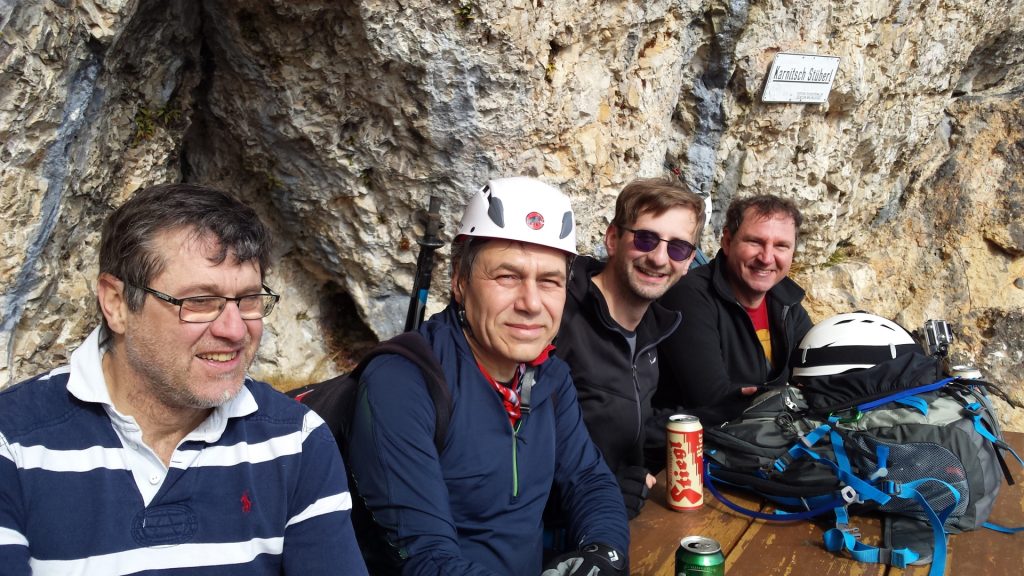
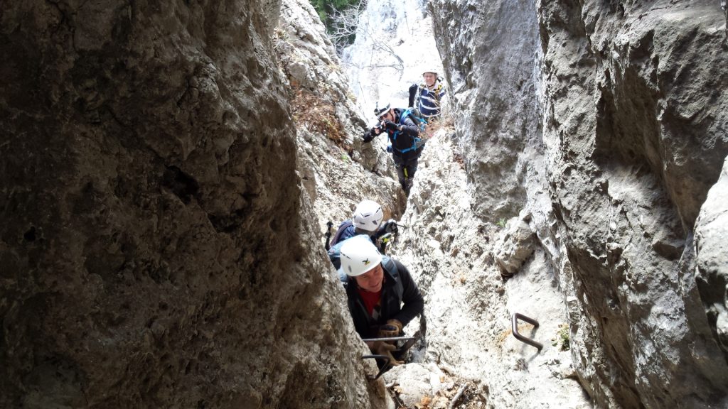
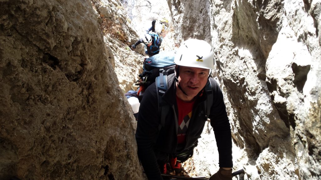
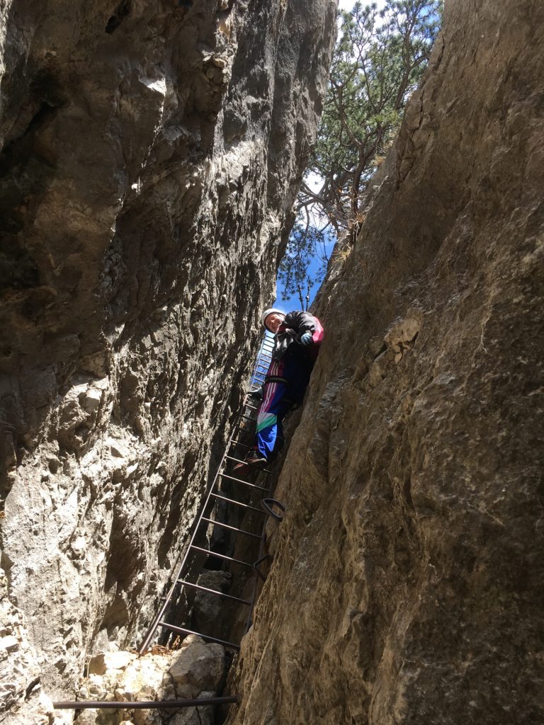
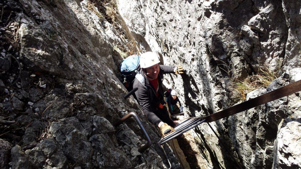
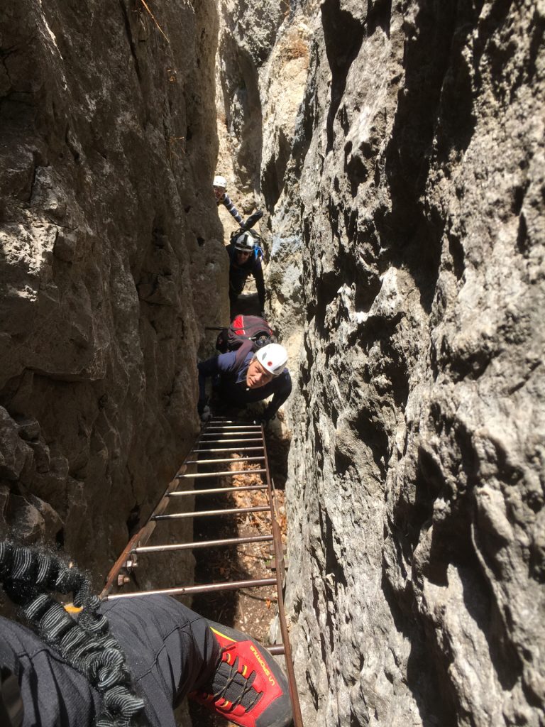
After a short break at the Herrgottschnitzerhaus at the exit of Ganghofersteig, the tour follows westwards and descends via the Brünnlries and then heads towards the entrance of Hanselsteig. This via ferrata (Cat. A/B with a short B part) bypasses the famous and impressive Karnitsch Stüberl (rest place), before its curx: a short, slightly overhanging iron ladder within a chimney.
Following the road at the end of this trail leads towards the next highlight: the Felsenpfad, a trail made of iron grids directly at the cliff. The Felsenpfad is next to the Kohlröserlhaus which is an ideal place for having lunch!
The tour can then be ended by going back the street and then descent via the Drobilsteig (Cat. A), or can be optionally extended continuing going westwards following the road and then some hiking trails towards the exit of Völlerin Steig (Cat. A/B). Going the first part down of this via ferrata leads to the entrance of the hardest via ferrata of Hohe Wand, the infamous Blutspur (Cat. E).
After having another break at Gasthof Postl, the way back passes the famous Skywalk (a viewing platform using iron grids) and continues on an easy hiking tail, partly on the street, which then leads into the final (easy) via ferrata that is used for descending: the Drobilsteig (Cat. A).
| 00:00 | Start at the parking lot Dreistetten (GPS: 47.855238, 16.099533) following the Angergasse. |
| 00:10 | Turn left and follow the right trail towards the access of the Währingersteig. |
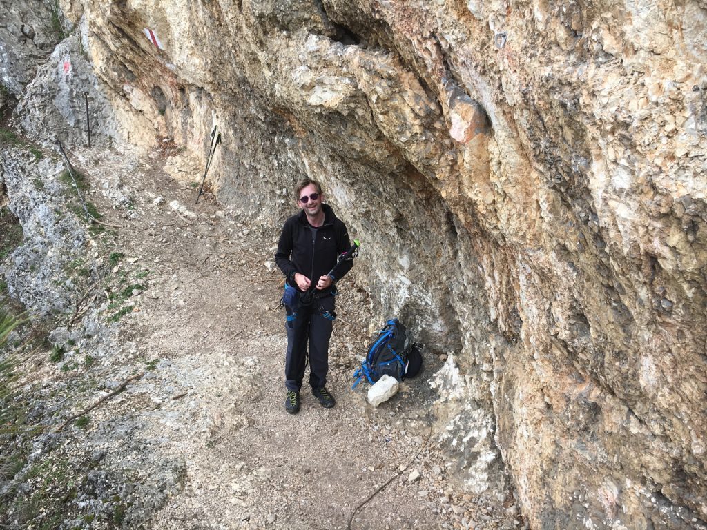
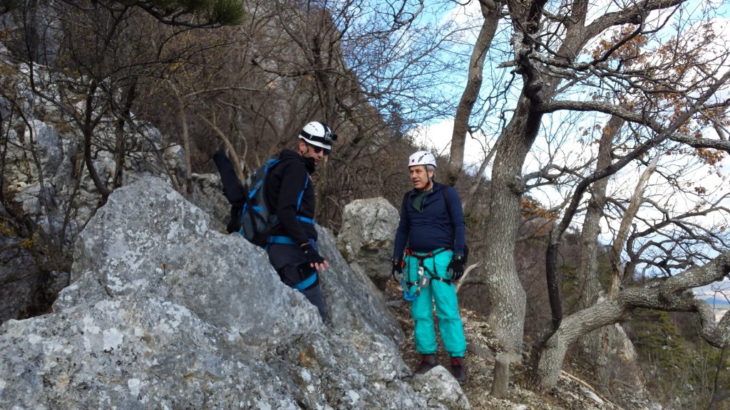
| 00:12 | Put on the via ferrata set (“Klettersteigset”) at the begin of the Währingersteig. |
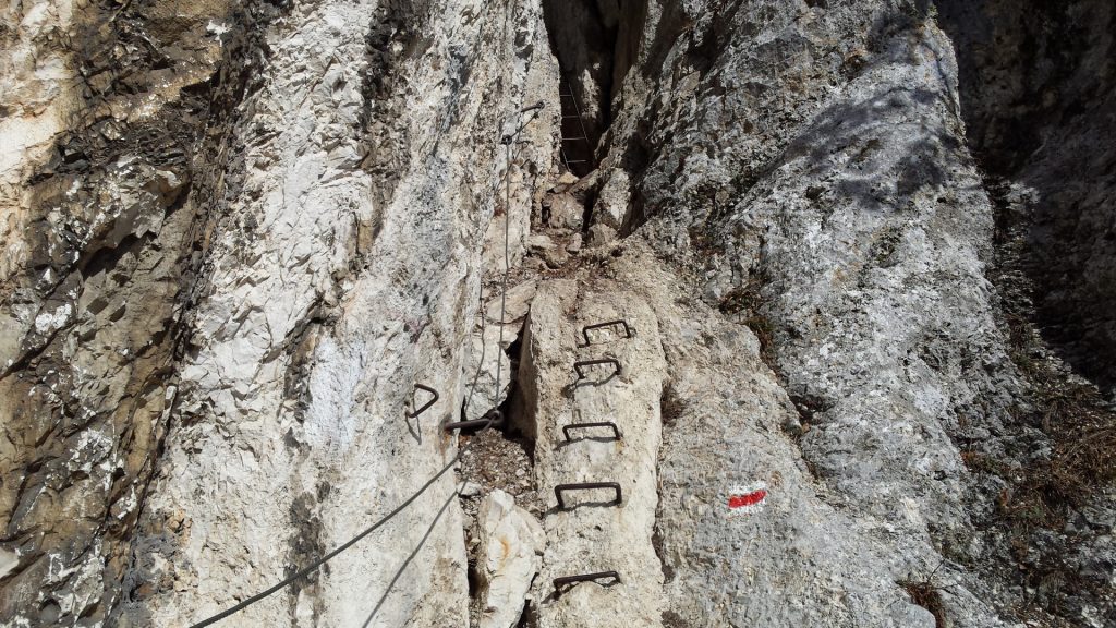
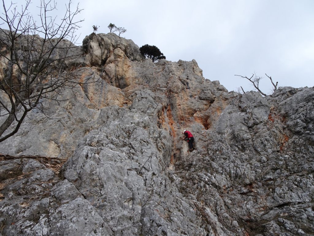
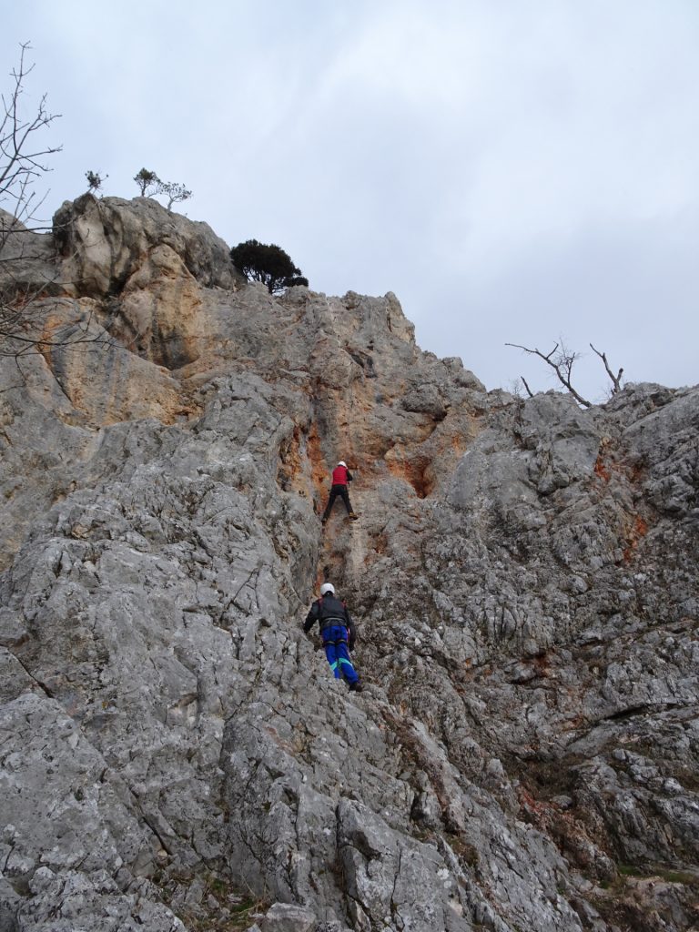
| 00:13 | Ascent using the iron rungs (steep!) till you reach the first plateau. |
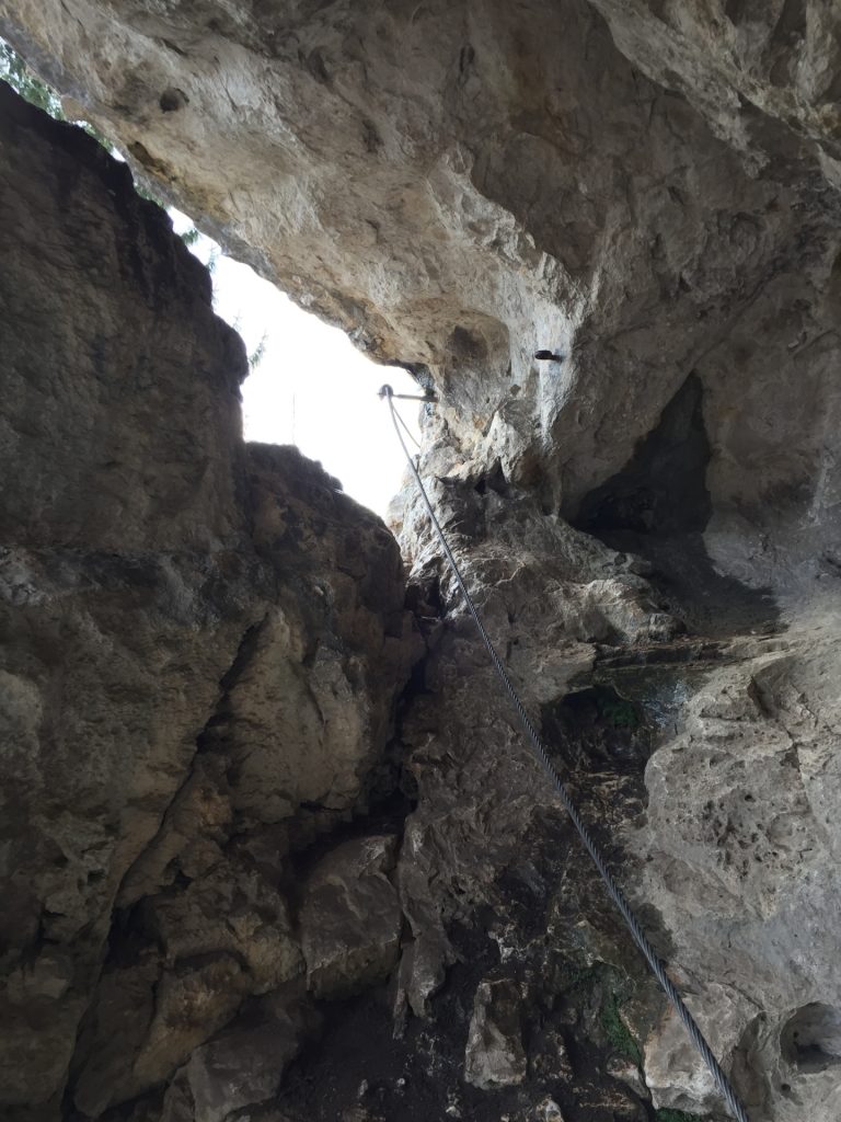
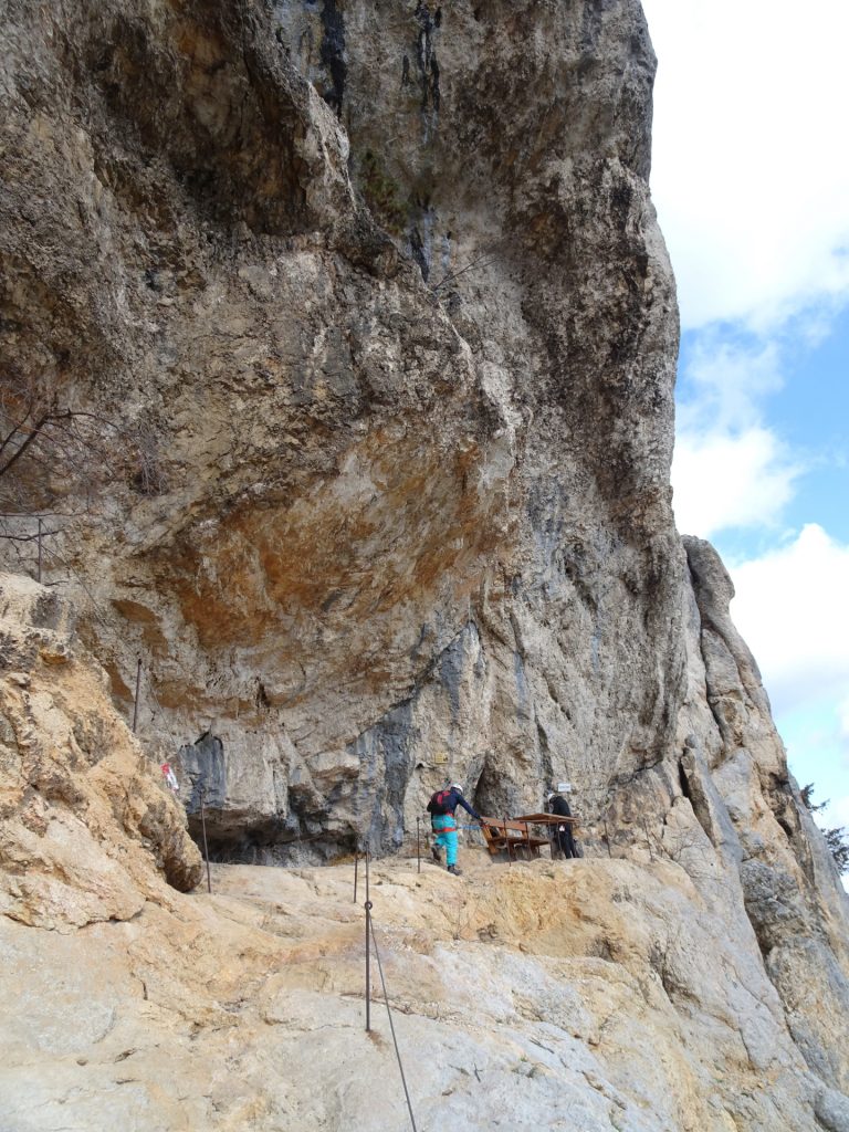
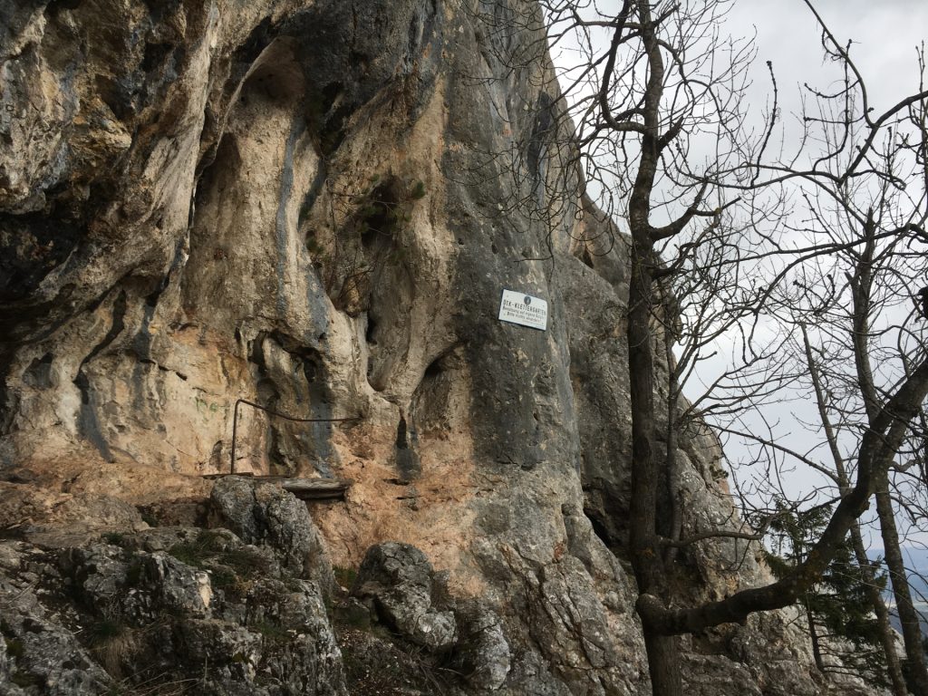
| 00:20 | At the plateau, head towards the cave where you also find the trail book and a stamp (small break before approaching the crux). |
| 00:30 | Continue through the cave which exists at the traverse leading towards the ladder. This is the crux of this track. |
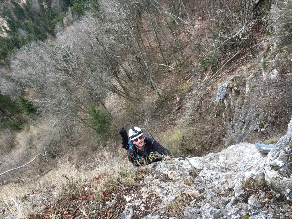
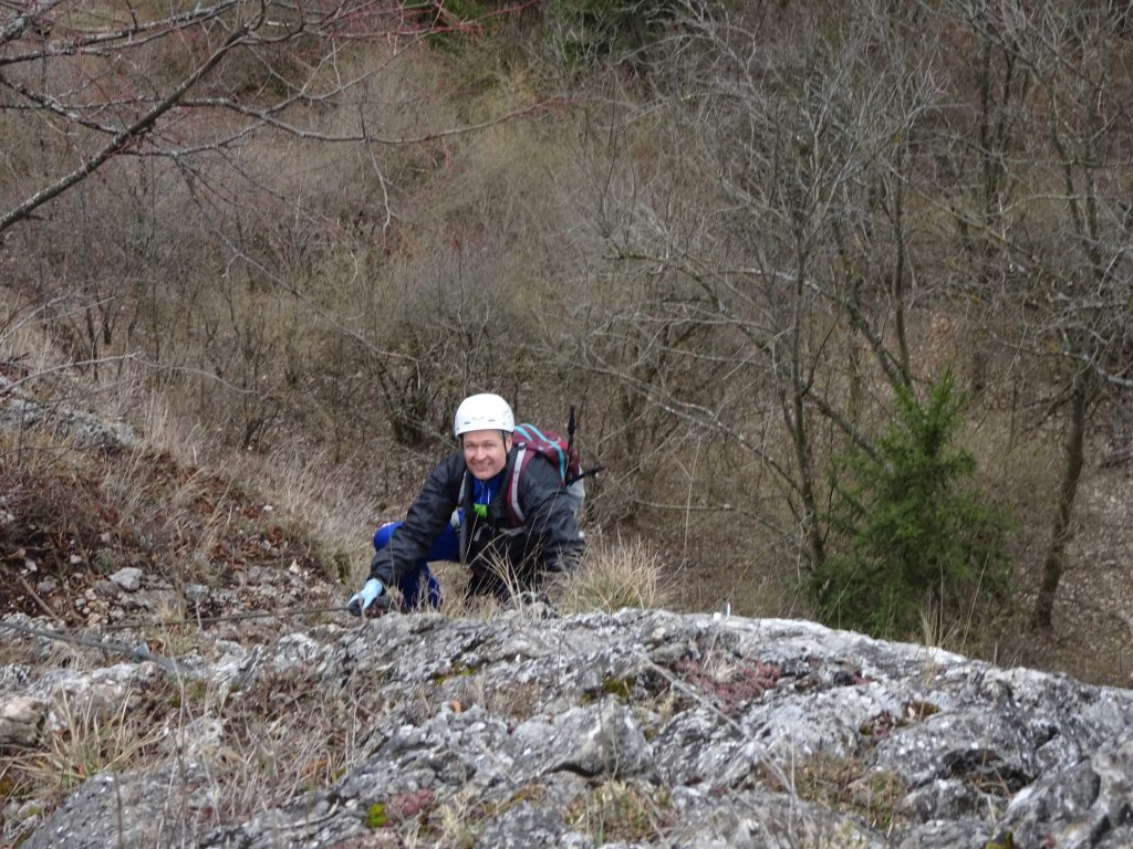
| 00:35 | Climb up the ladder and follow the remaining trail till you reach the exit of the track on a plateau. |
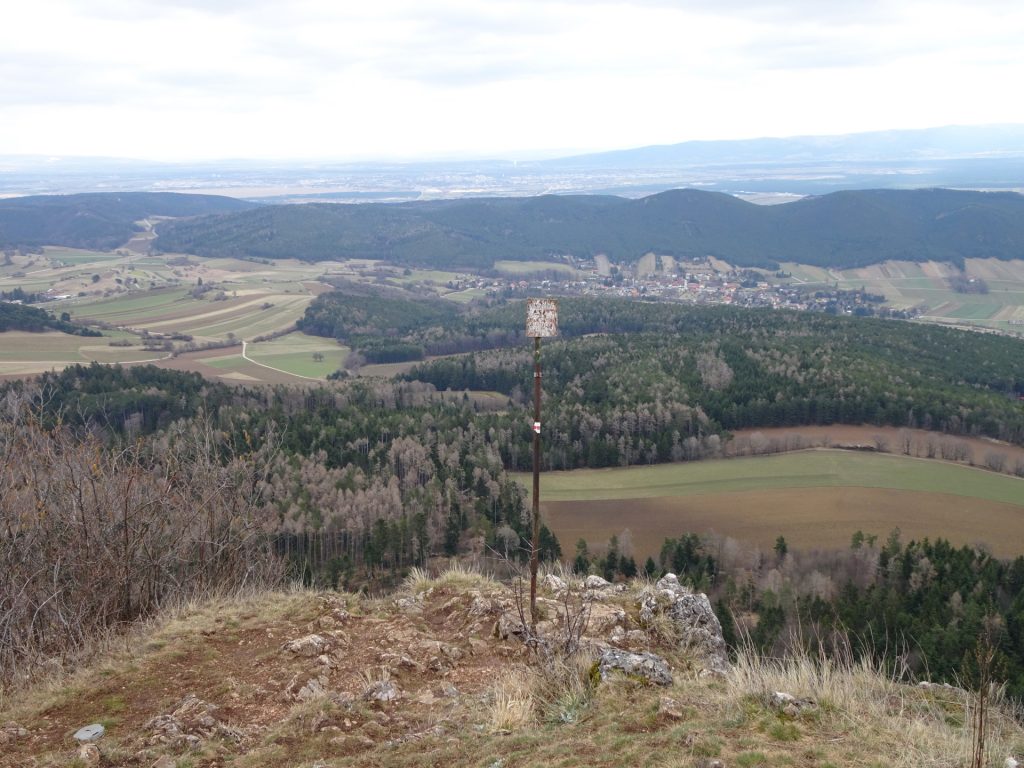
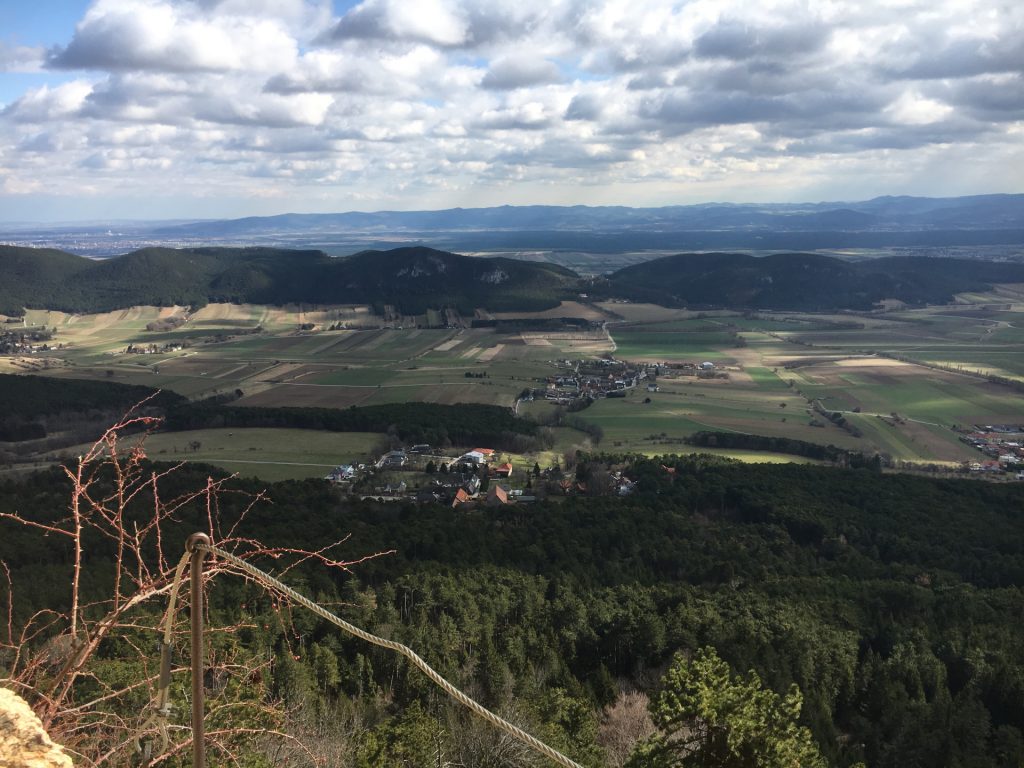
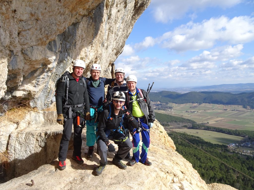
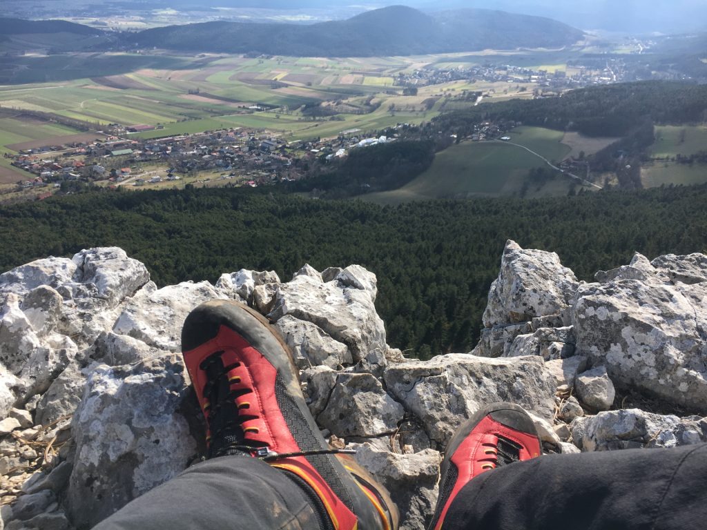
| 00:45 | The exit (plateau) is a perfect place to enjoy the scenery and make a small break (10 mins. for enjoying a self-brought refreshment ()). |
| 01:00 | Follow the small trail (Drobilweg) upwards that leads to a big crossing and descend via the Notabfahrt (gravel road). |
| 01:10 | At the crossing, descend back to the valley using the Notabfahrt (gravel road). |
| 01:15 | At the next crossing, turn right and follow the forest street towards Zischkasteig and follow the road. |
| 01:25 | Turn right into the Zischkasteig. Note that the trail now has a new entrance (deviates from maps), only a couple of meters further ahead from the old entrance. |
| 01:40 | Turn left into the trail towards the entrance of Ganghofersteig (marked blue). The marking is found on a stone but can be easily overseen. |
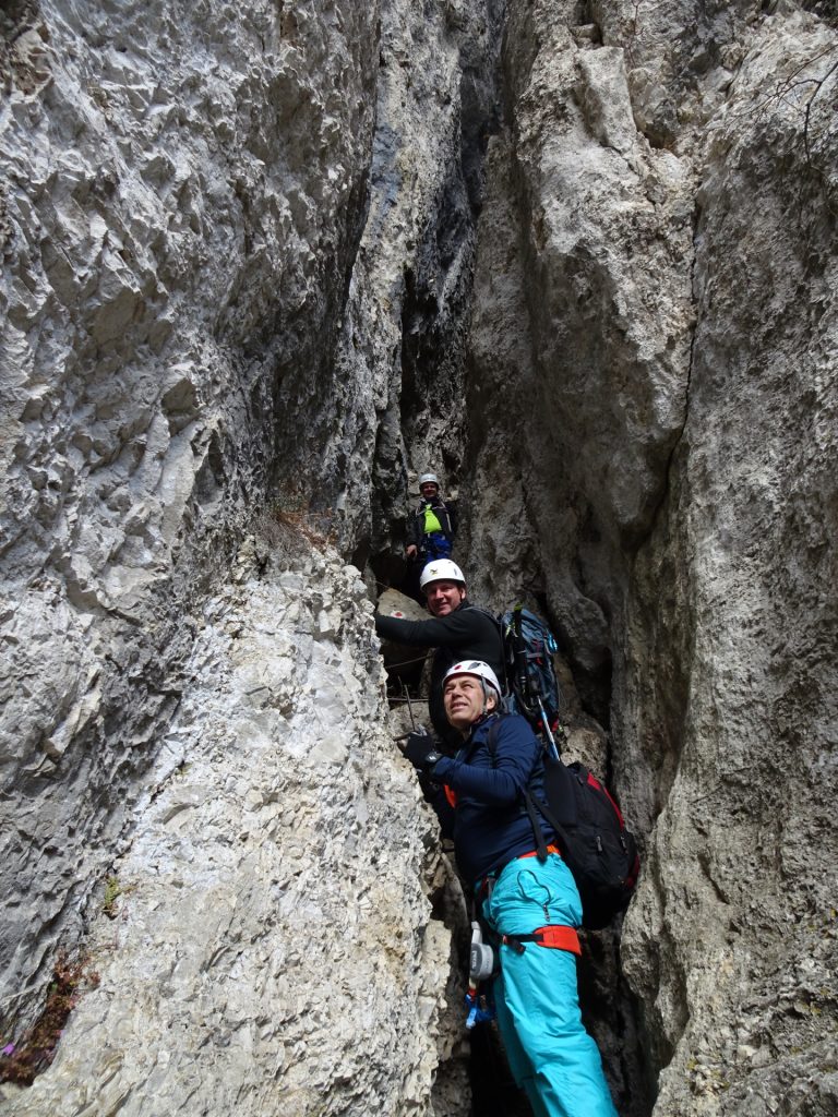
| 01:42 | Entrance into the the lower part (protected via cable) of Ganghofersteig (lower part is C). |
| 01:42 | Entrance into the the lower part (protected via cable) of Ganghofersteig (lower part is C). |
| 01:45 | Approaching the wall with iron rungs and no protection cable which is the crux of Ganghofersteig (C/D). |
| 02:00 | Break and enjoy a well-deserved refreshment () at Herrgottschnitzerhaus. |
| 02:30 | Follow the road behind Herrgottschnitzerhaus westwards and then turn into the hiking trail next to the road (Waldlehrpfad). |
| 02:45 | At the crossing, turn left downwards the Brünnlries trail. |
| 03:05 | At the crossing, keep right 2x and follow the trail towards Hanselsteig. |
| 03:10 | At the crossing, turn right and follow upwards the red-white-red marked trail towards the entrance of Hanselsteig. |
| 03:30 | Start of the Hanselsteig. |
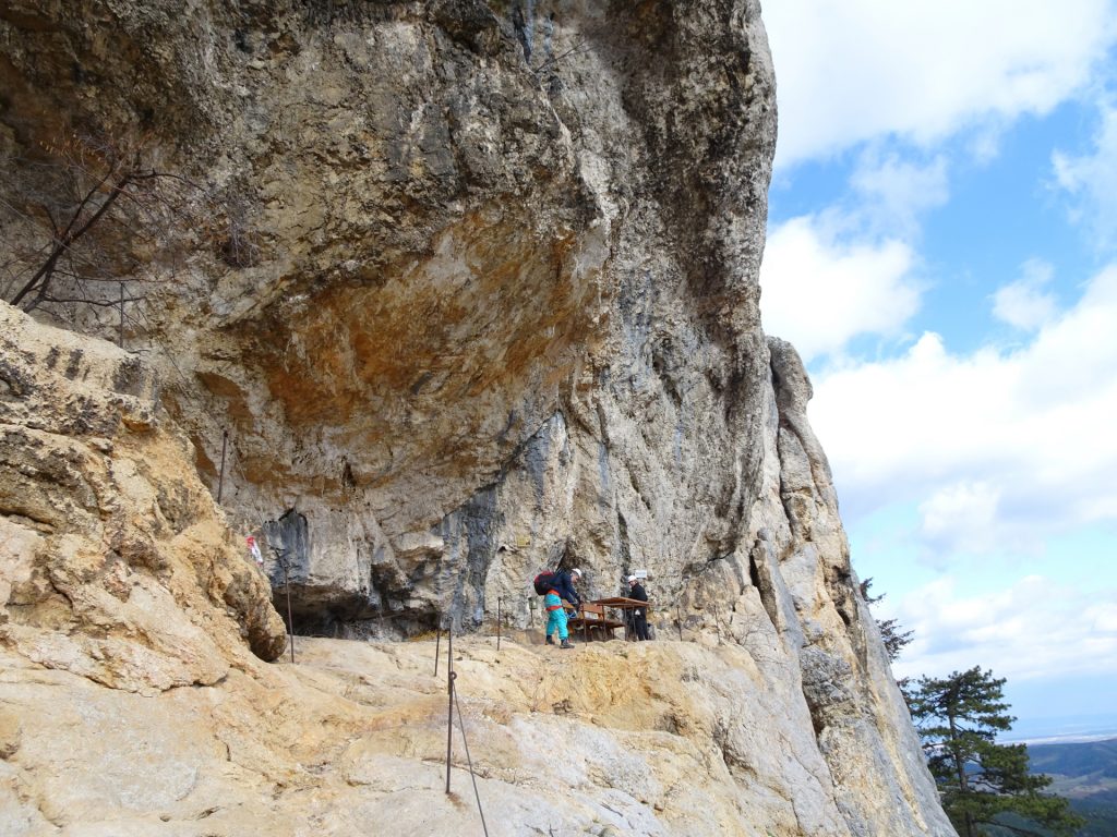
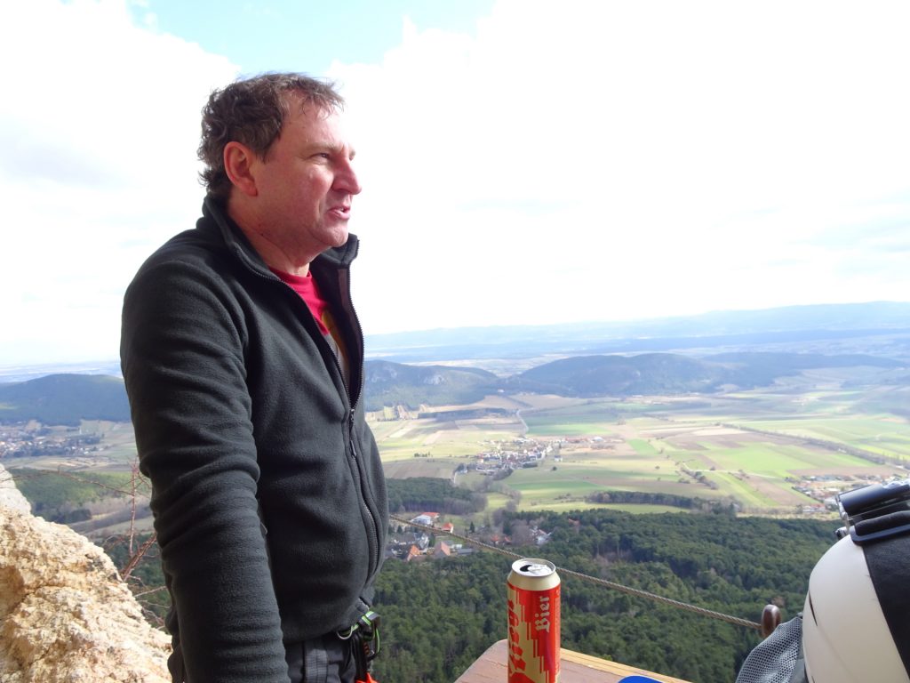
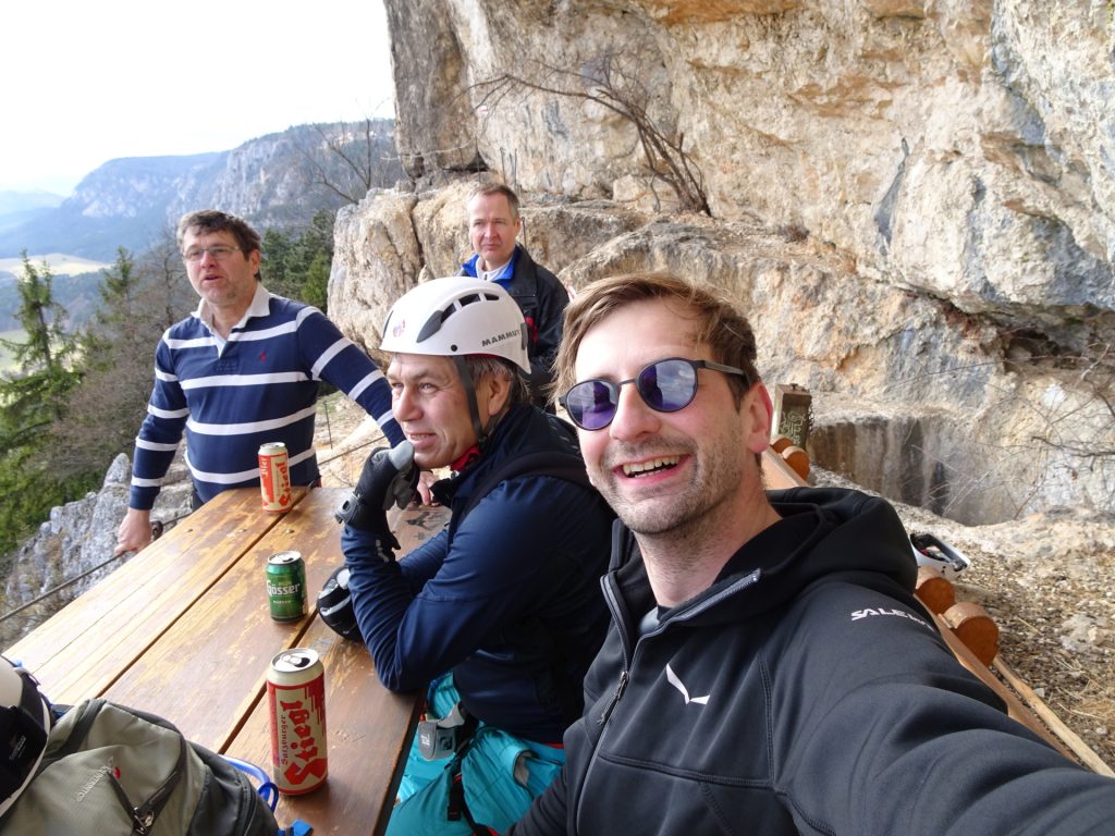
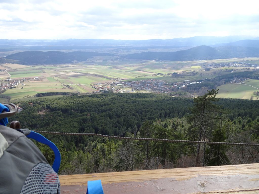
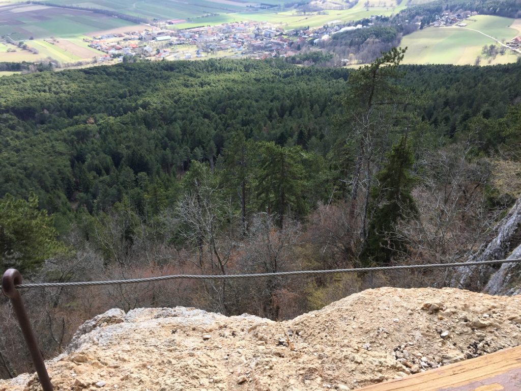
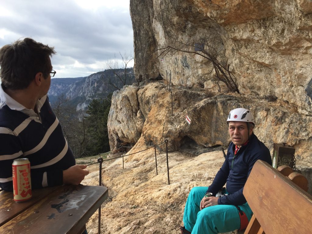
| 03:40 | Break at the Karnitsch Stüberl: A unique rest place with an awesome view – perfectly for a self-brought ! |
| 04:00 | Continue on Hanselsteig by climbing up the chimney via its iron ladder. |
| 04:20 | Turn left and follow the road till reaching the Kohlröserlhaus. |
| 04:25 | Well-deserved lunch at the Kohlröserlhaus (). |
| 05:30* | [Optional: Continue to Völlerinsteig]: Follow the road (heading west) till reaching the big crossing (3 streets and parking). [You can also turn back (follow the instructions starting with 08:00).] |
| 05:55 | At the crossing, turn right and follow the road Kleine Kanzelstrasse. |
| 05:58 | Turn left into the trail and follow the trail towards Almfrieden. Continue on the trail till reaching the Poststrasse and continue walking on the street. |
| 06:17 | Turn left into the trail towards Skywalk and continue on the trail towards the exit of Völlerin. |
| 06:21 | Walk down the Völlerinsteig and turn left into the ÖTK Klettergarten. Follow the trail till reaching the entrance of the Blutspur (Cat. E). |
| 06:30 | Either mount the Blutspur (Cat. E, extremely difficult) or walk back via Völlerinsteig towards Gasthof Postl. |
| 07:05 | Short break at Gasthof Postl (). |
| 07:20 | Hike back on the same way towards Kohlröserlhaus. |
| 08:00 | Pass by Kohlröserlhaus and continue on the road. |
| 08:10 | Turn right and follow the Waldlehrpfad till reaching the Herrgottschnitzerhaus again. |
| 08:25 | Pass by Herrgottschnitzerhaus and turn into the Drobilsteig trail downwards. |
| 08:55 | At the crossing, follow the forest road downwards (Notabfahrt) (same direction as after Währingersteig). |
| 09:00 | At the crossing (towards Zischkasteig), stay at the forest road (keep left) and follow the forest road which leads back to the parking. |
| 09:15 | Back at the parking (end of the tour). |
General Tour Data
| Area: | Wiener Alpen, Lower Austria, Austria | |
| Distance: | 18km | |
| Ascent: | 855m (3h 00min) | |
| Descent: | 858m (2h 25min) | |
| Highest Pt: | 889m | |
| Lowest Pt: | 522m | |
| Duration: | 7h 35min (without breaks) 09h 15min (with breaks) |
|
| Stop/Rest: | Kohlröserlhaus (900m) Alpengasthof Postl (900m) Herrgottschnitzerhaus (816m) |
|
| Equipment: | Via ferrata set incl. helmet Hiking shoes with good grip (on rock) Backpack with standard hiking equipment Snacks and plenty of water 2x “Gipfelbier” () Sun & Weather protection Camera |
|
| Topo/Map: | Währingersteig (C) Ganghofersteig (C/D) Hanselsteig (B) Völlerin (A) Blutspur (E) |
| Download GPX | ||
| O | Tour at outdooractive.com |
Tour Diary
| Tour Date: | 2020-03-07 09:45 | ||
| Weather: | Mixed (sun-snowfall) | ||
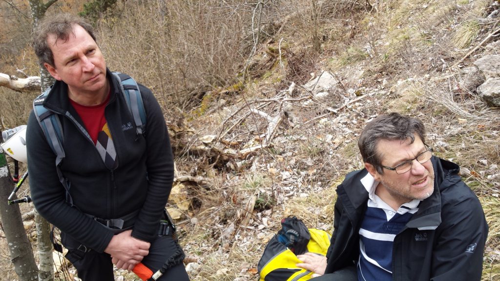
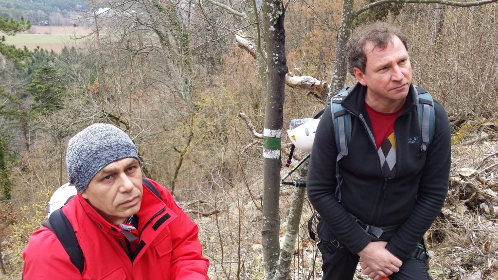
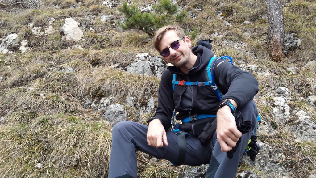
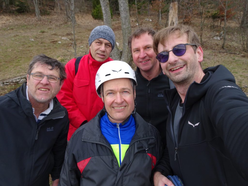
| Participants: | Stefan, Hannes, Herbert, Nader, Robert | ||
| Activity: | Suunto | ||
At a glance
| Level | medium |
| – Via Ferrata Category | C/D |
| Technique | |
| Shape / Fitness | |
| Experience | |
| Scenery | |
| Best time in the year | |
|
Jan
Feb
Mar
Apr
May
Jun
Jul
Aug
Sep
Oct
Nov
Dec
|
|









Leave a Reply