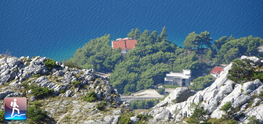
Hike up to the highest point in Omiška-Dinara: The “Kula”
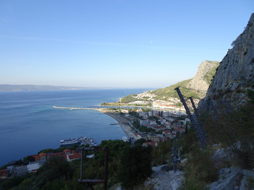
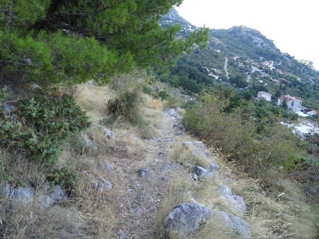
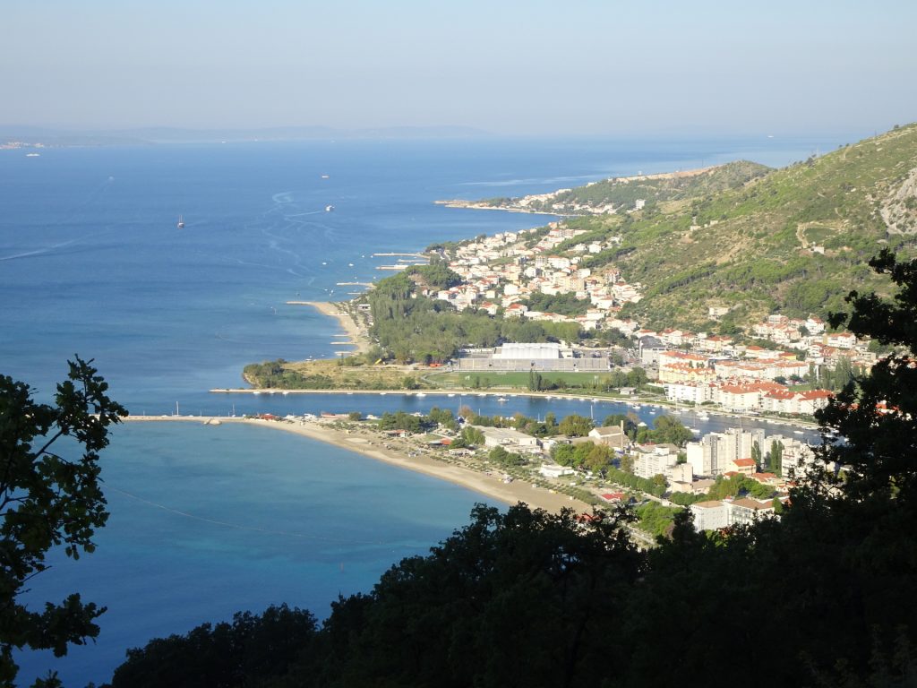
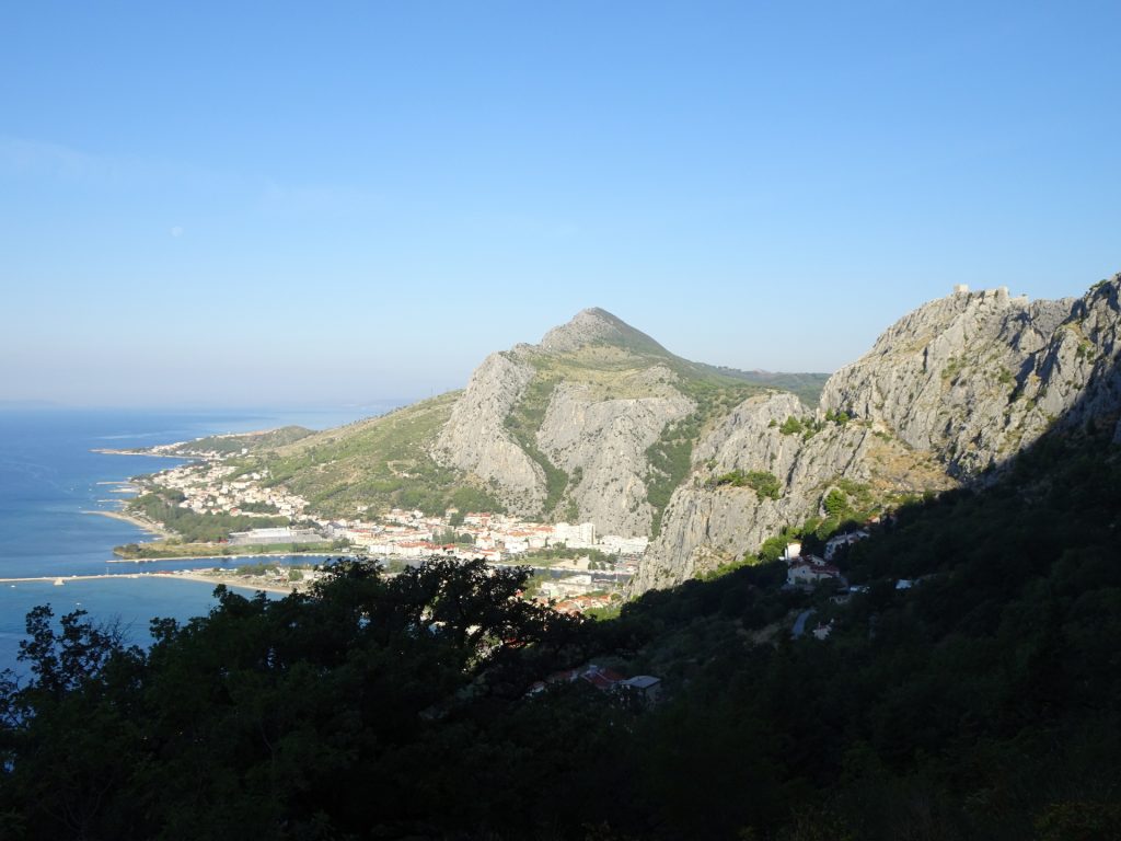
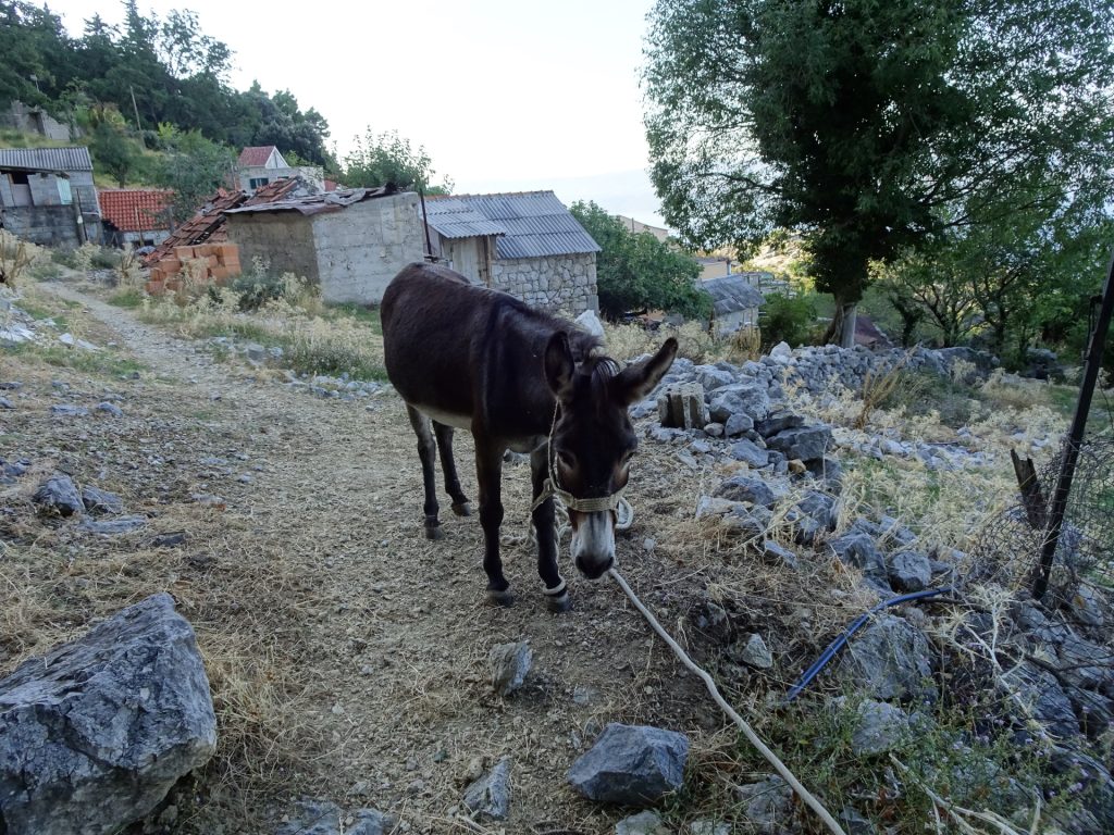
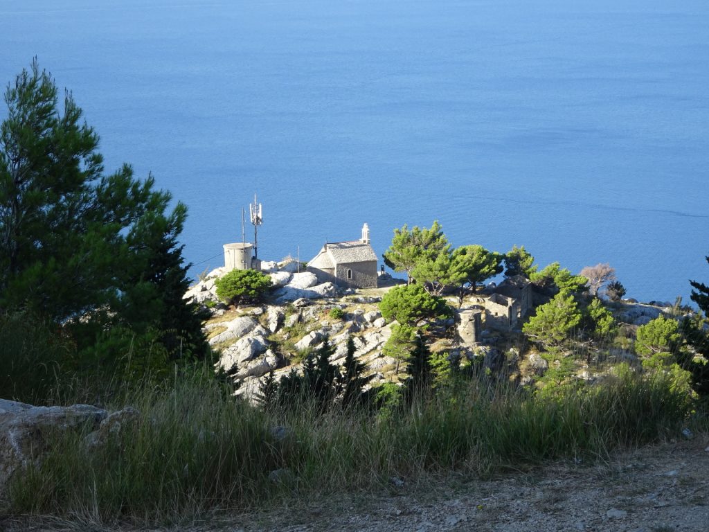
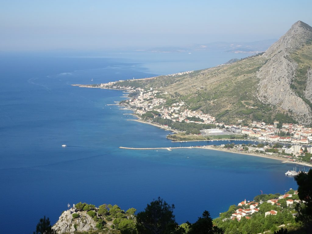
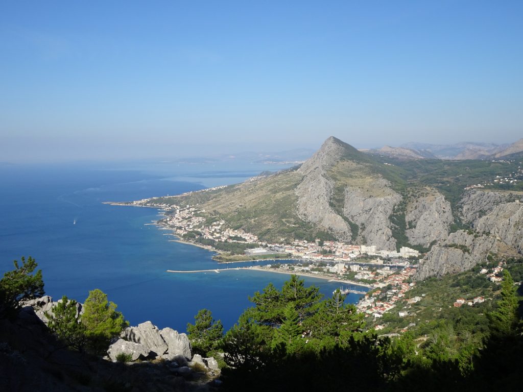
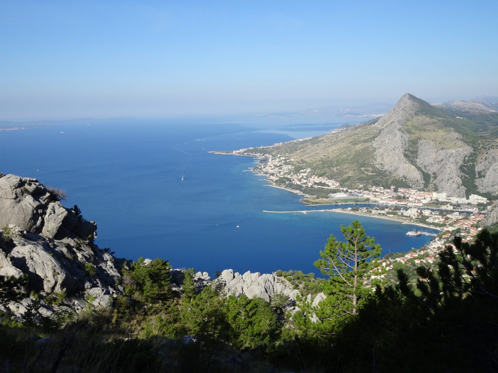
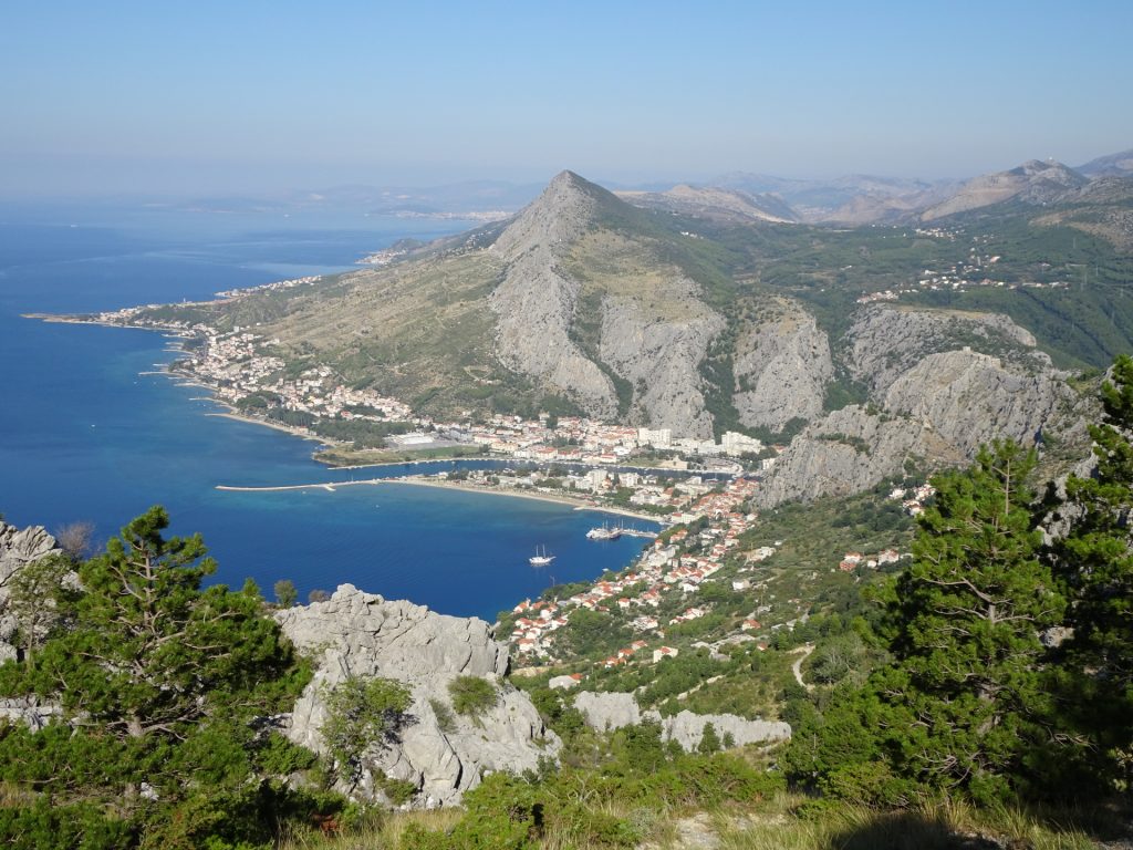
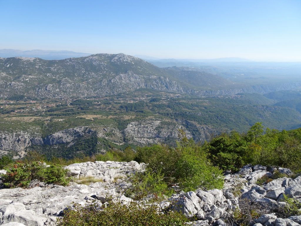
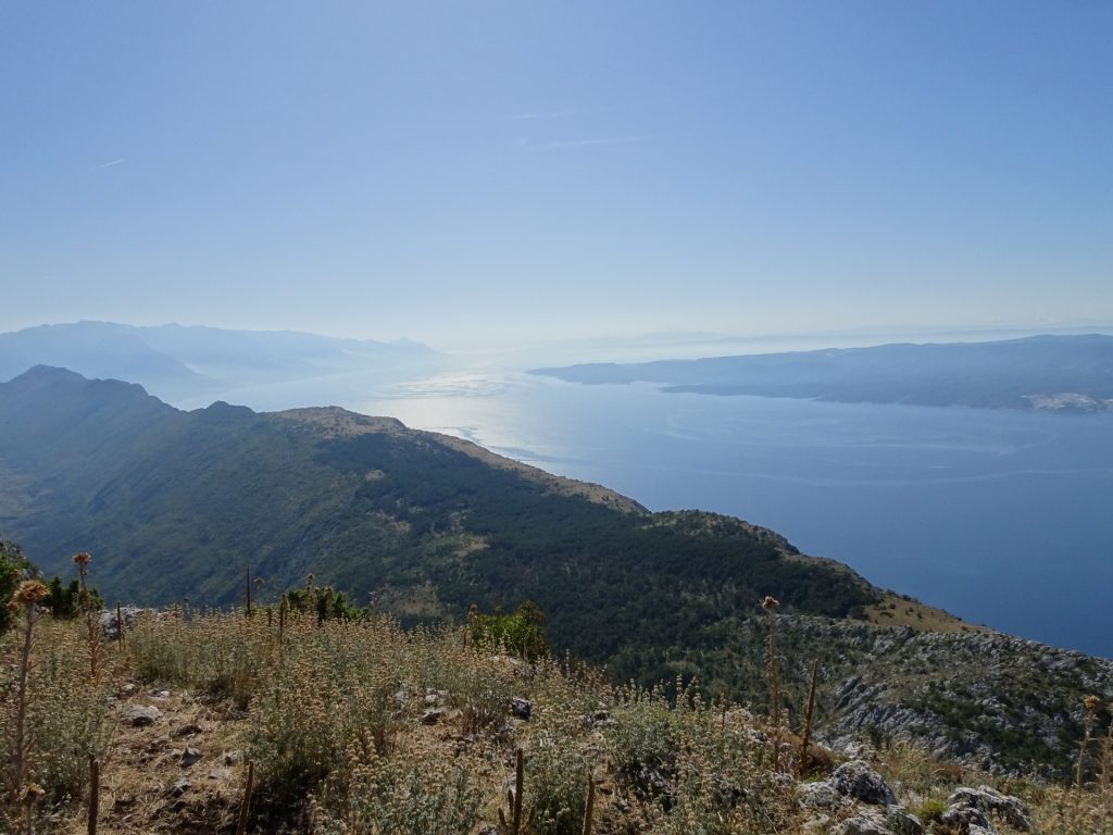
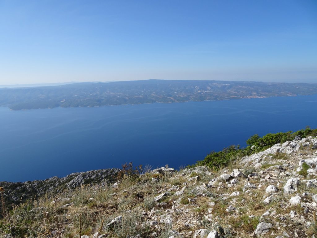
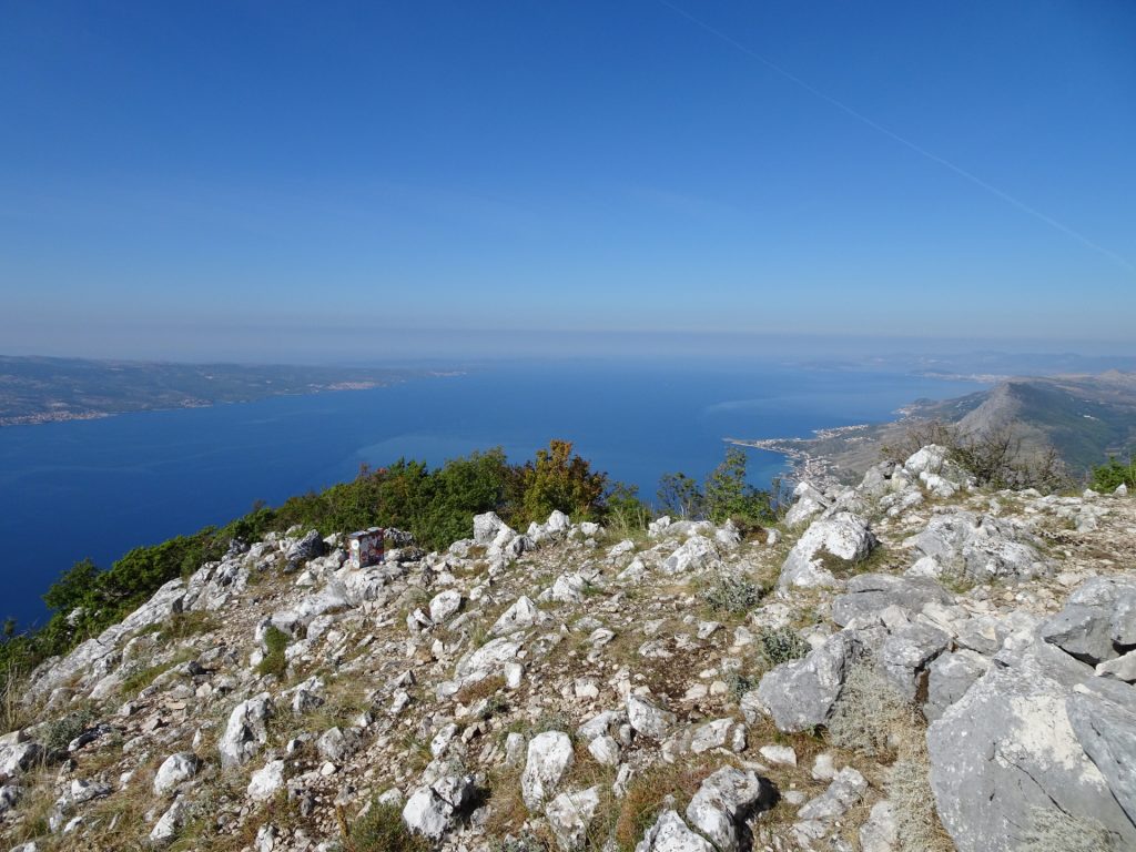
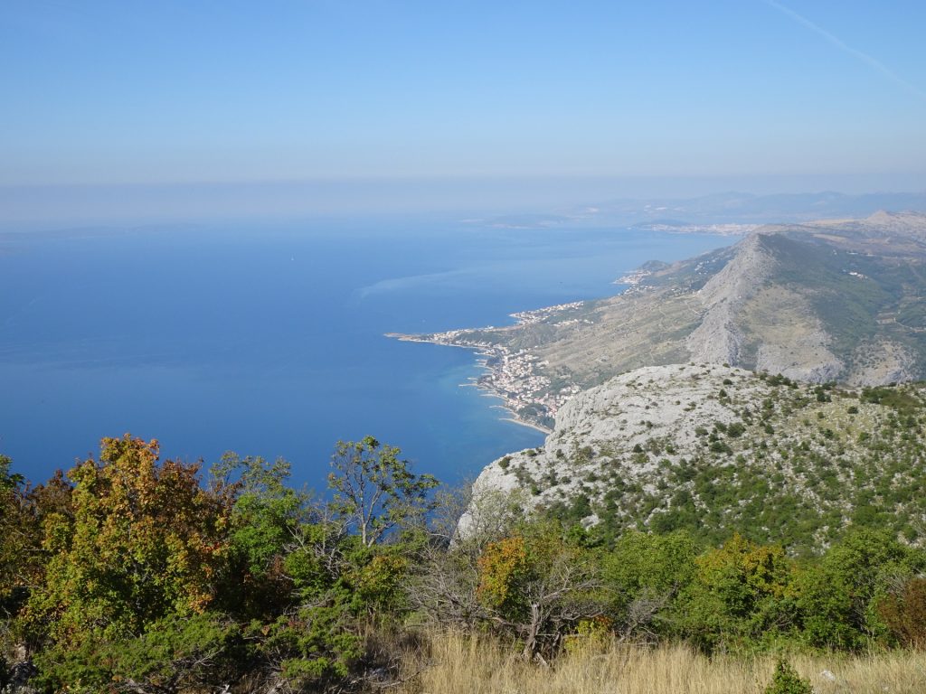
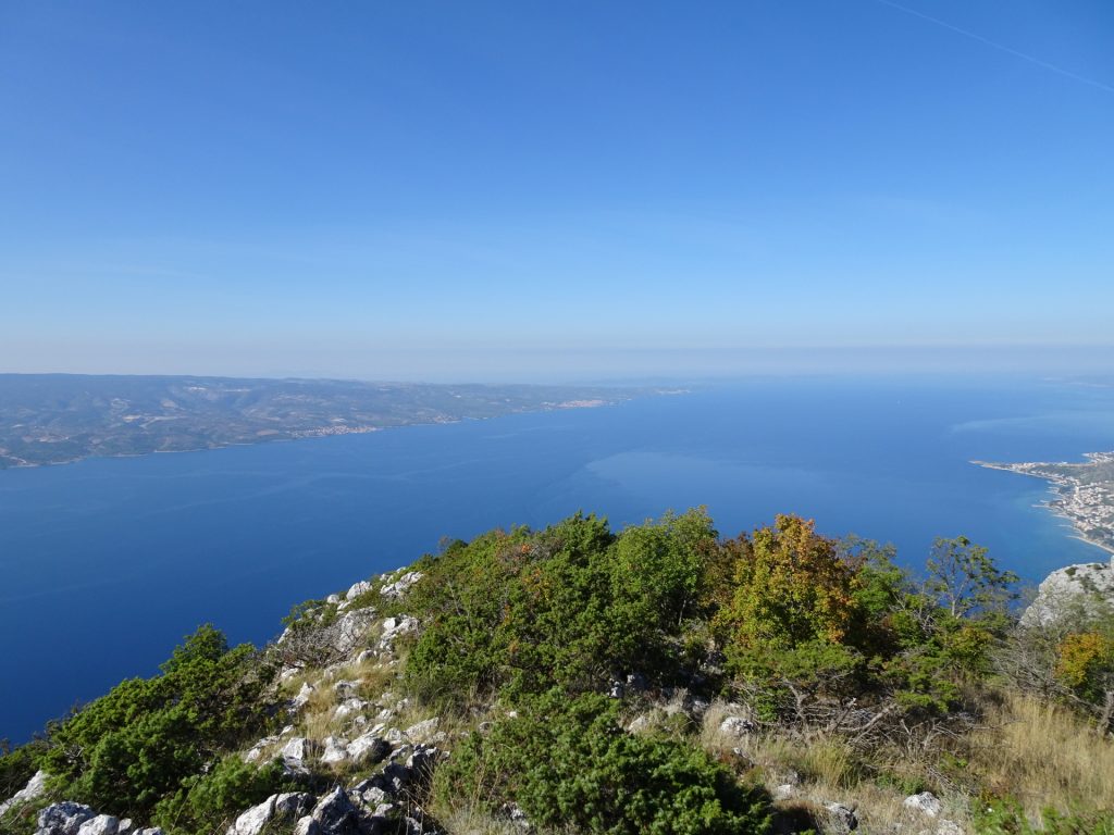
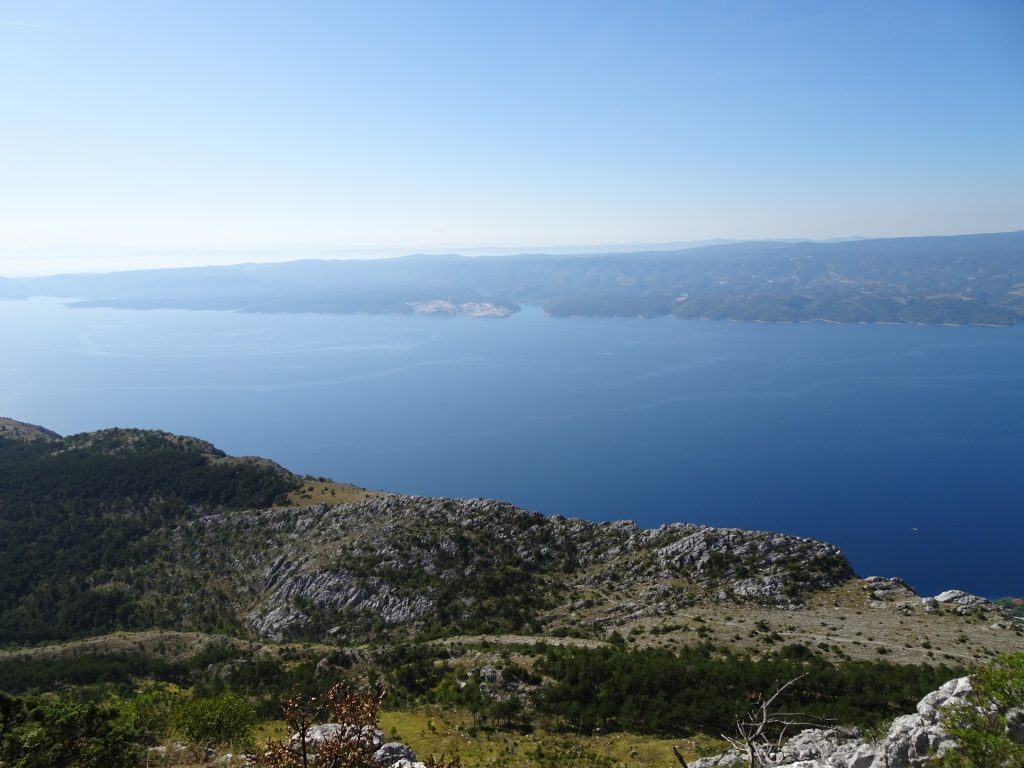
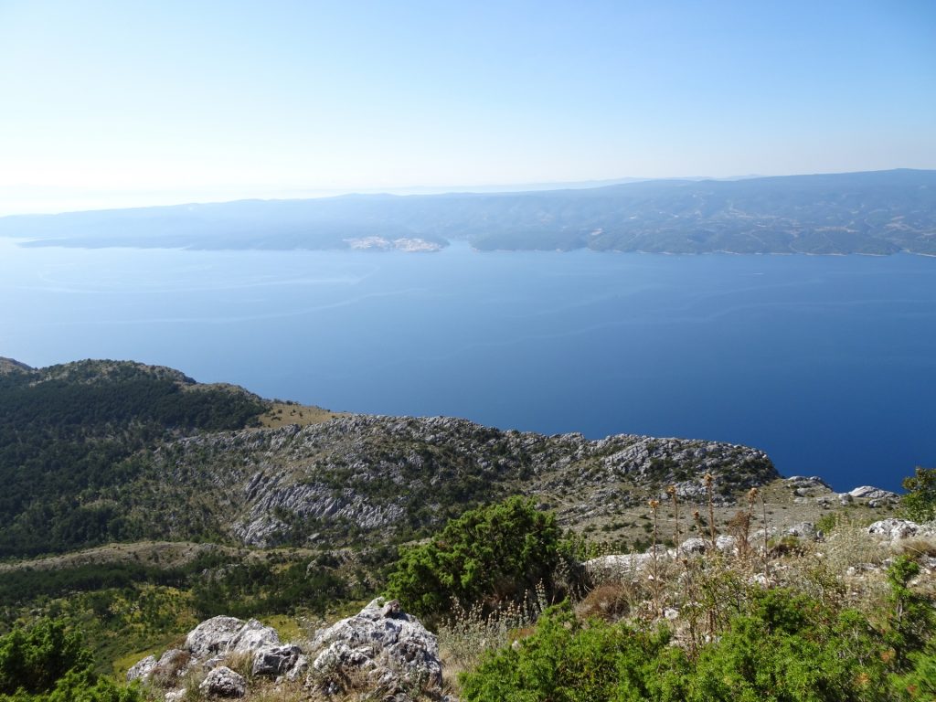
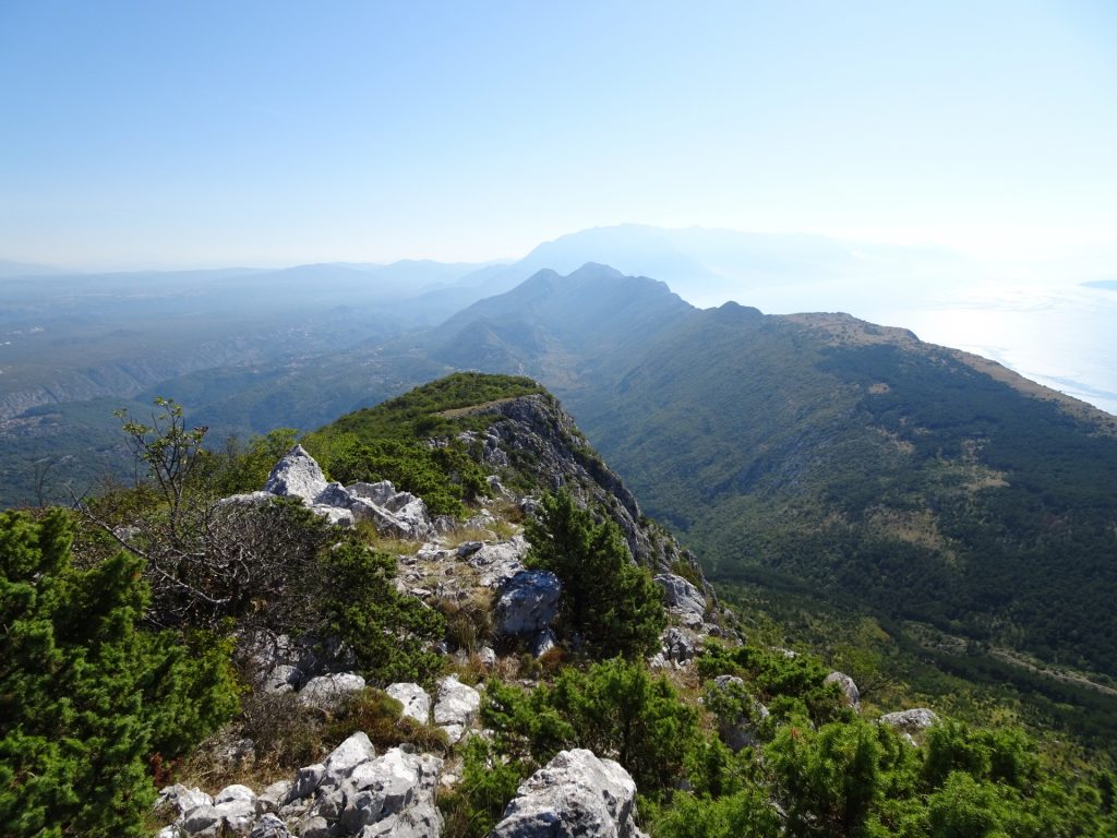
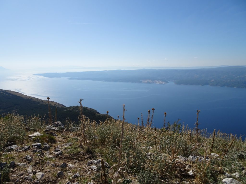
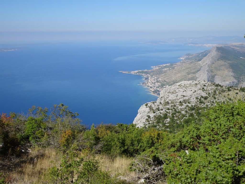
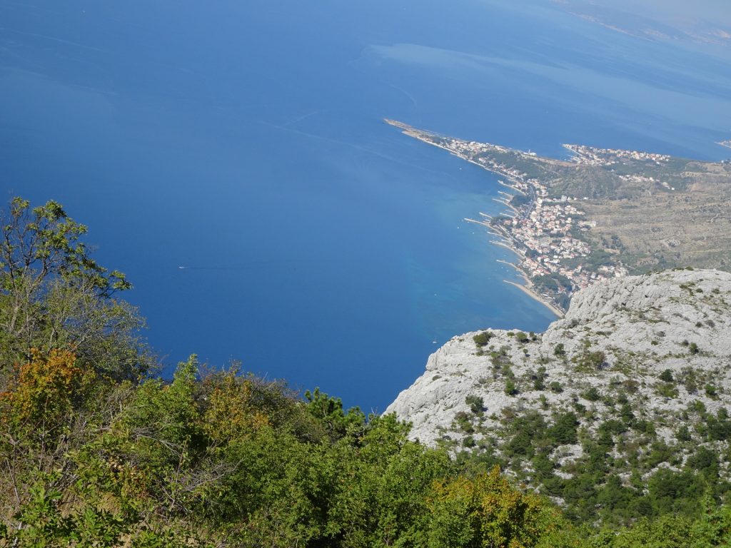
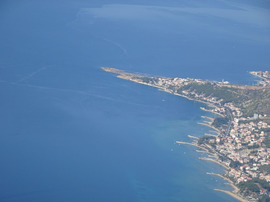
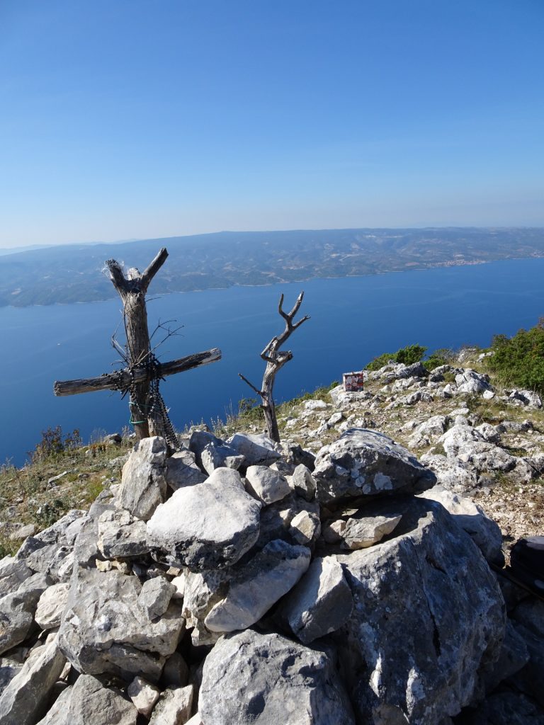
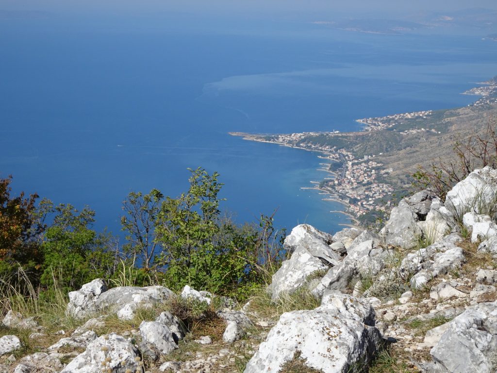
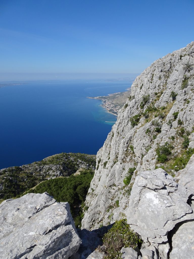
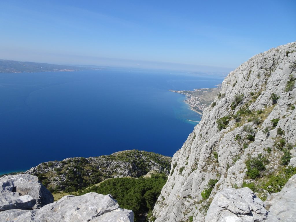
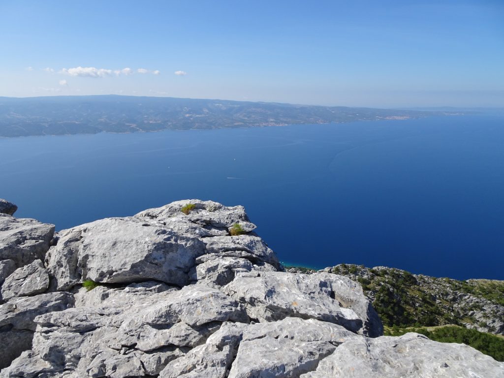
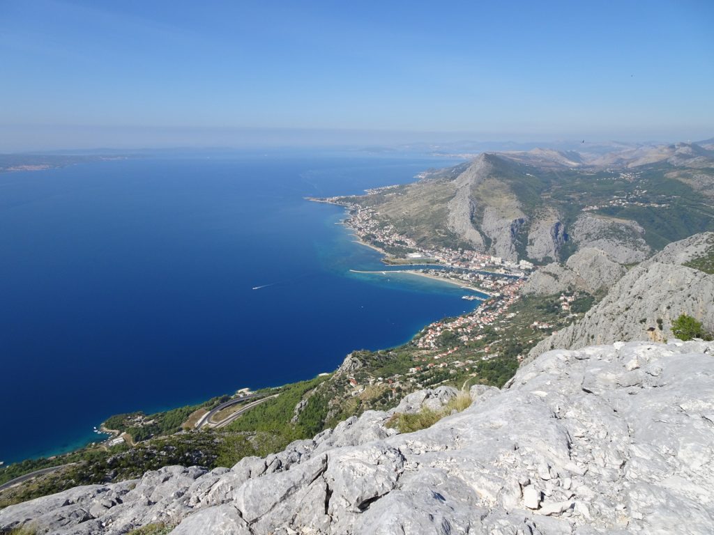
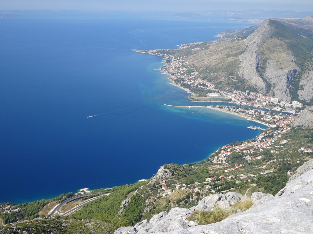
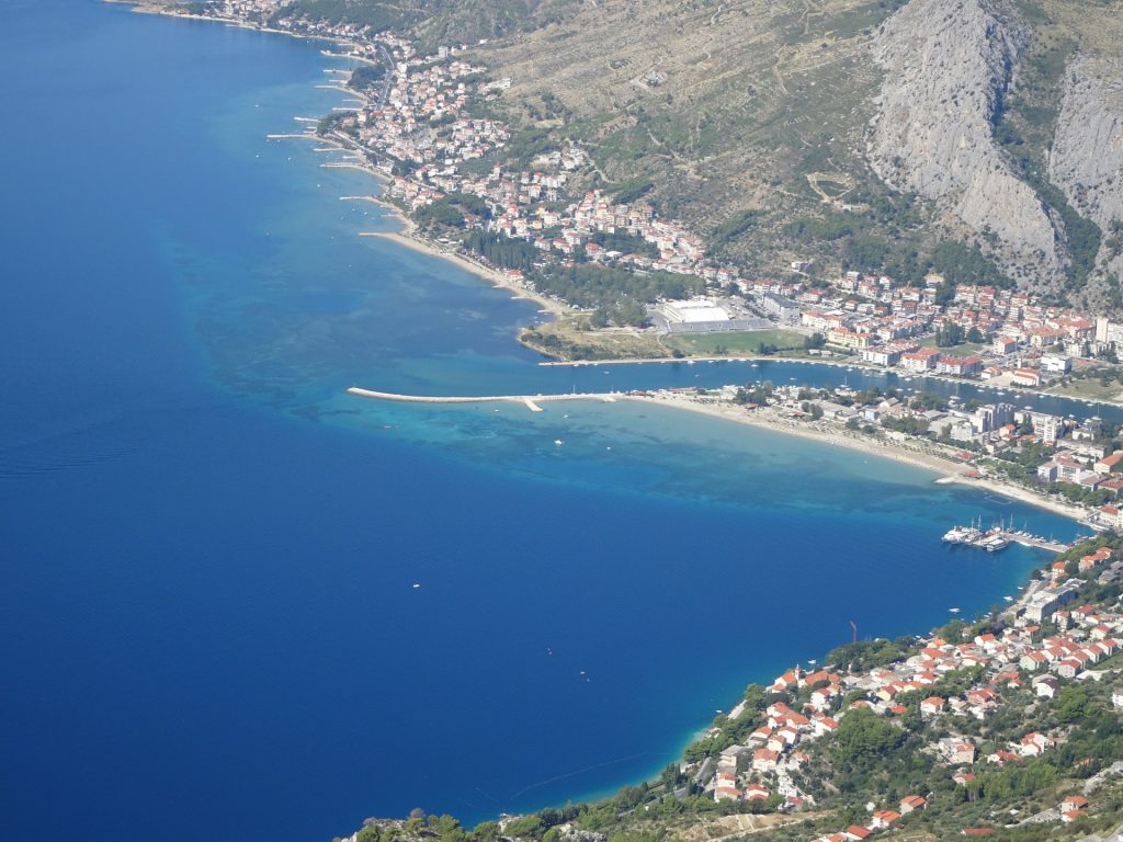
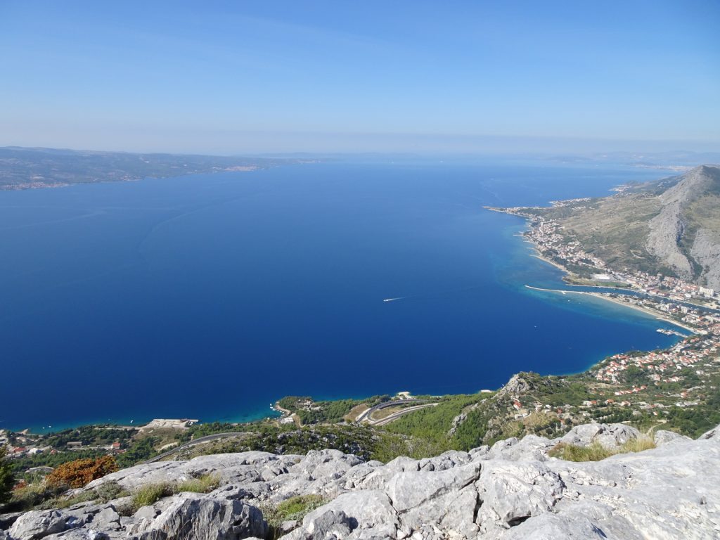
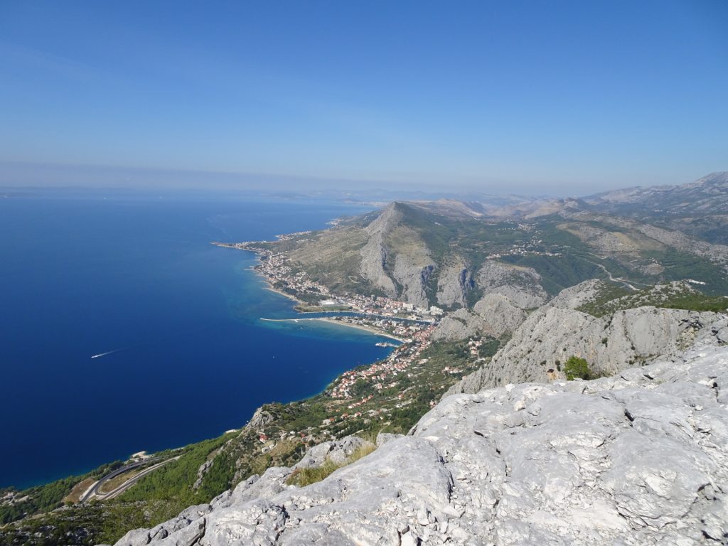
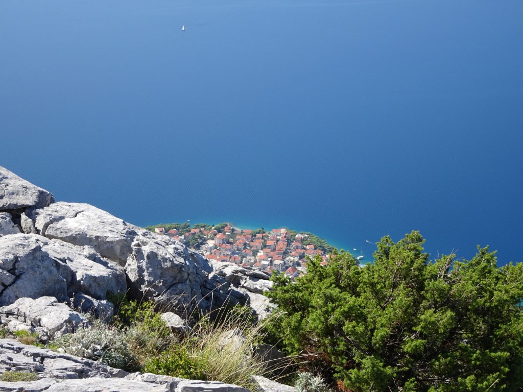
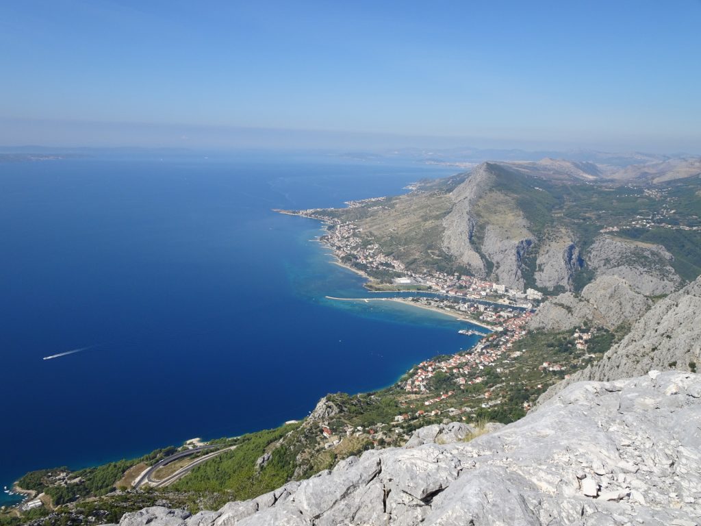
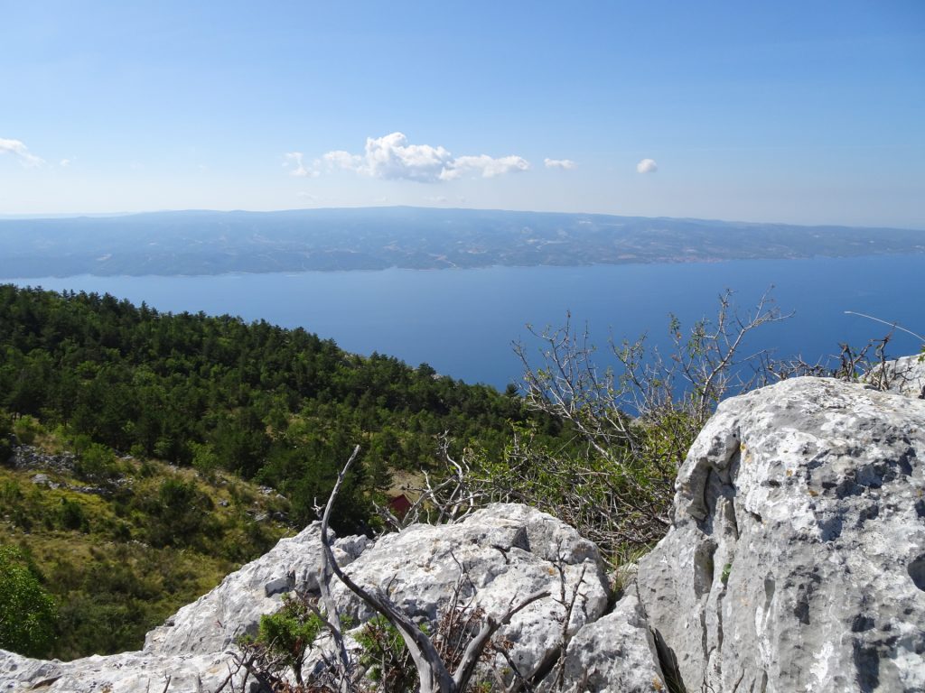
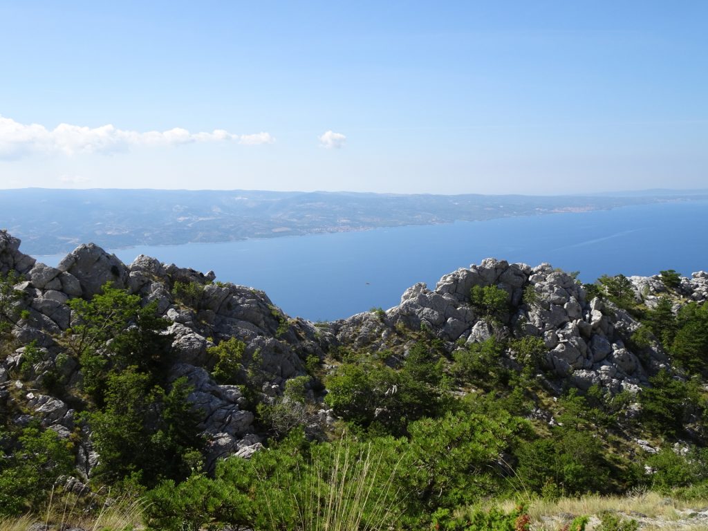
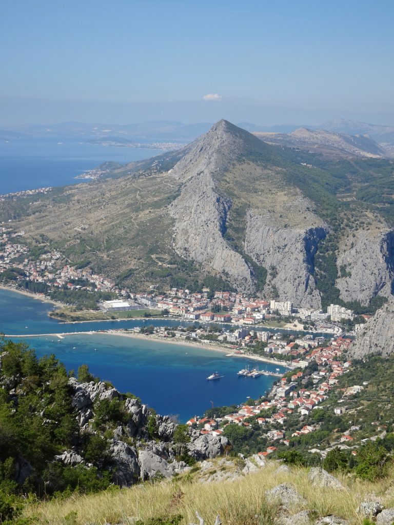
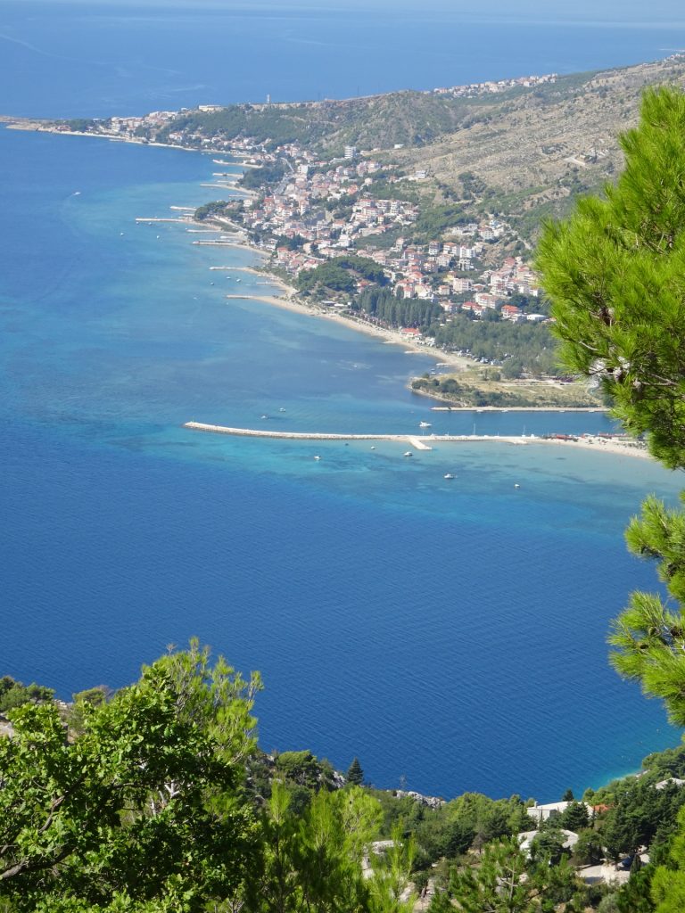
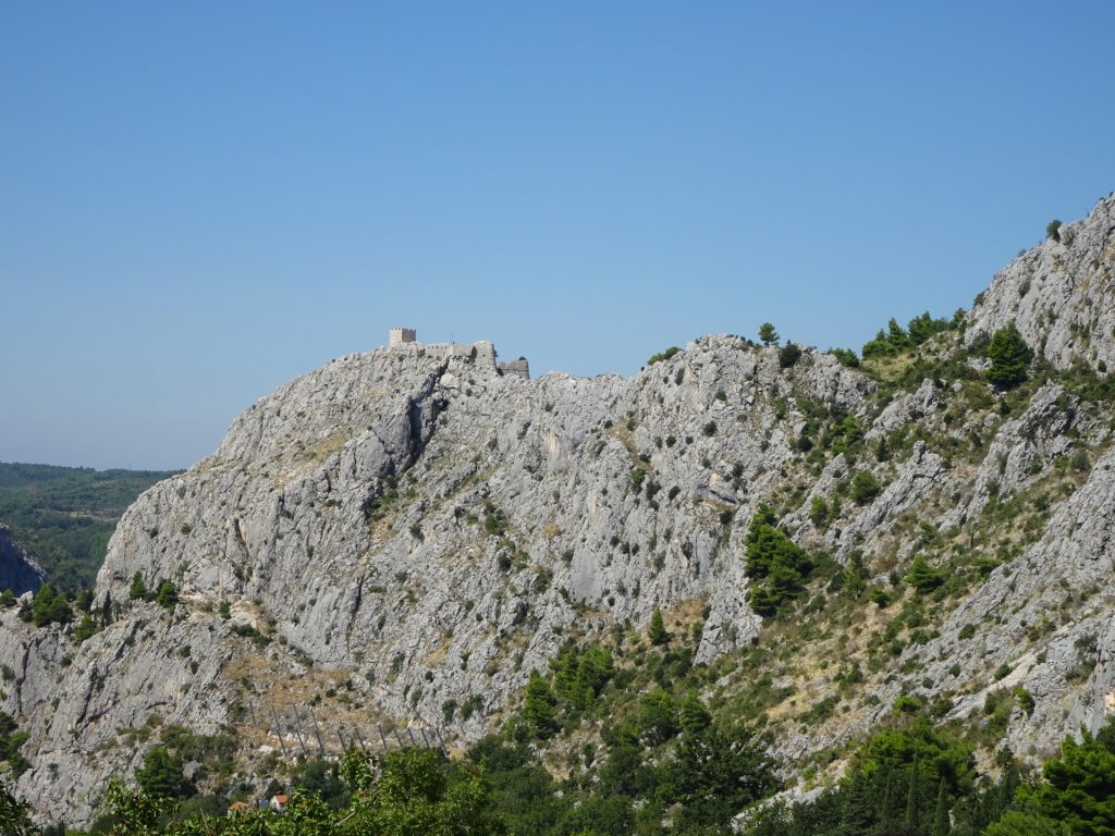
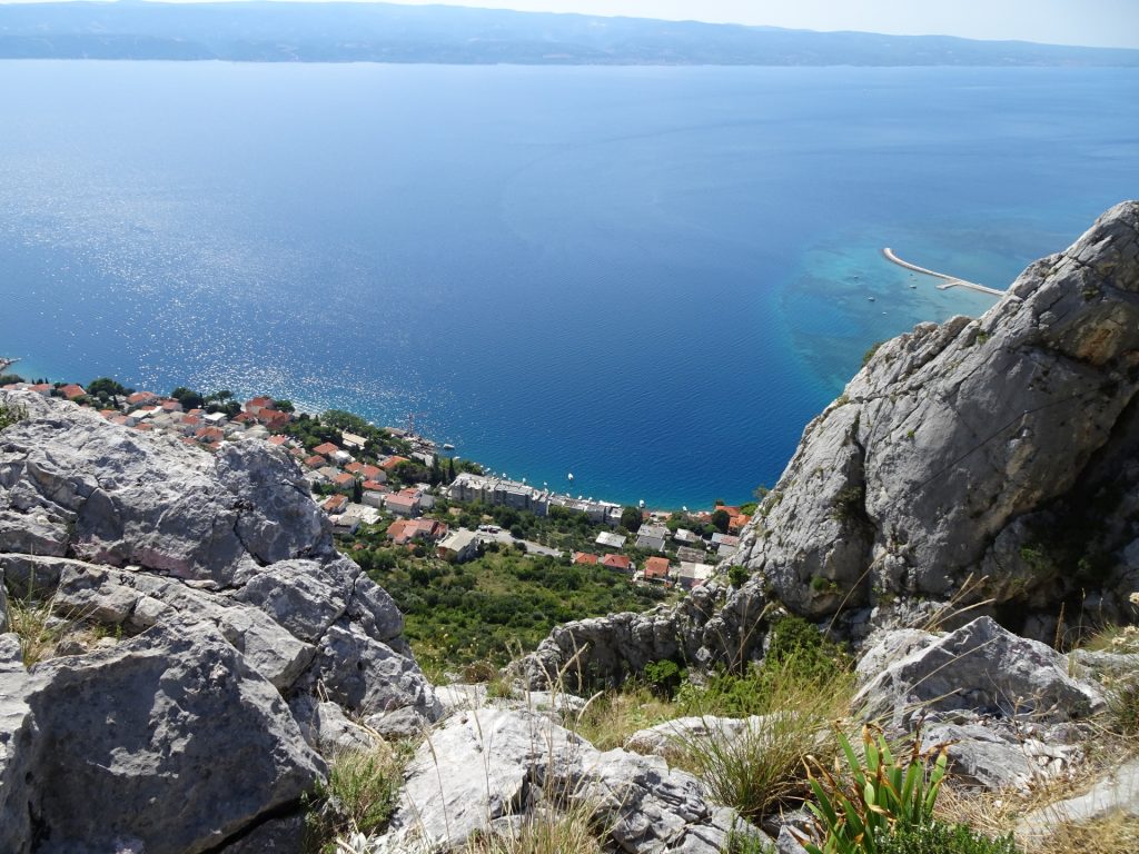
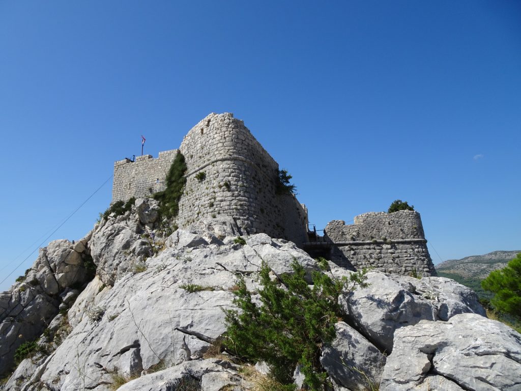
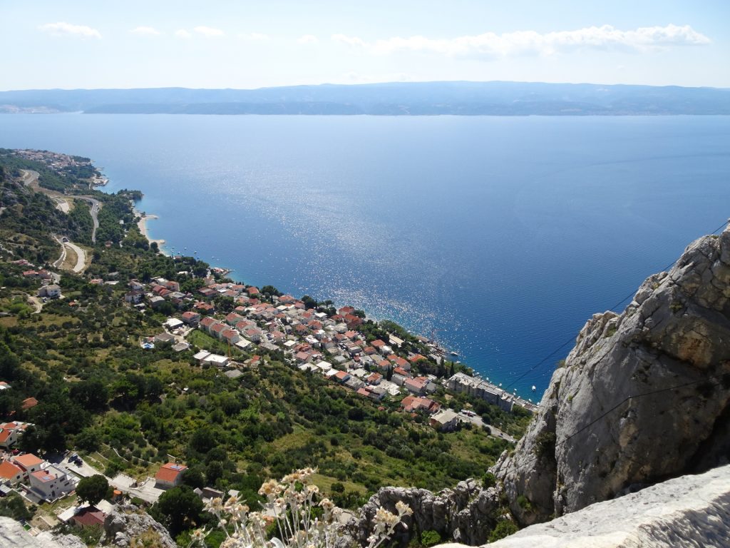
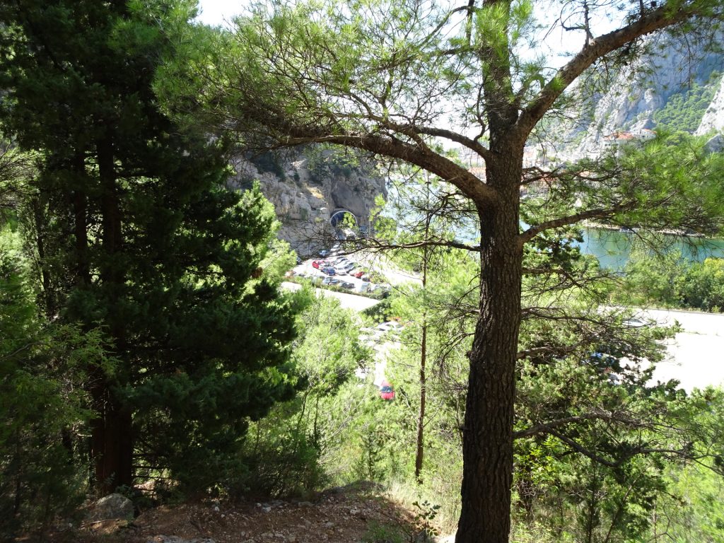
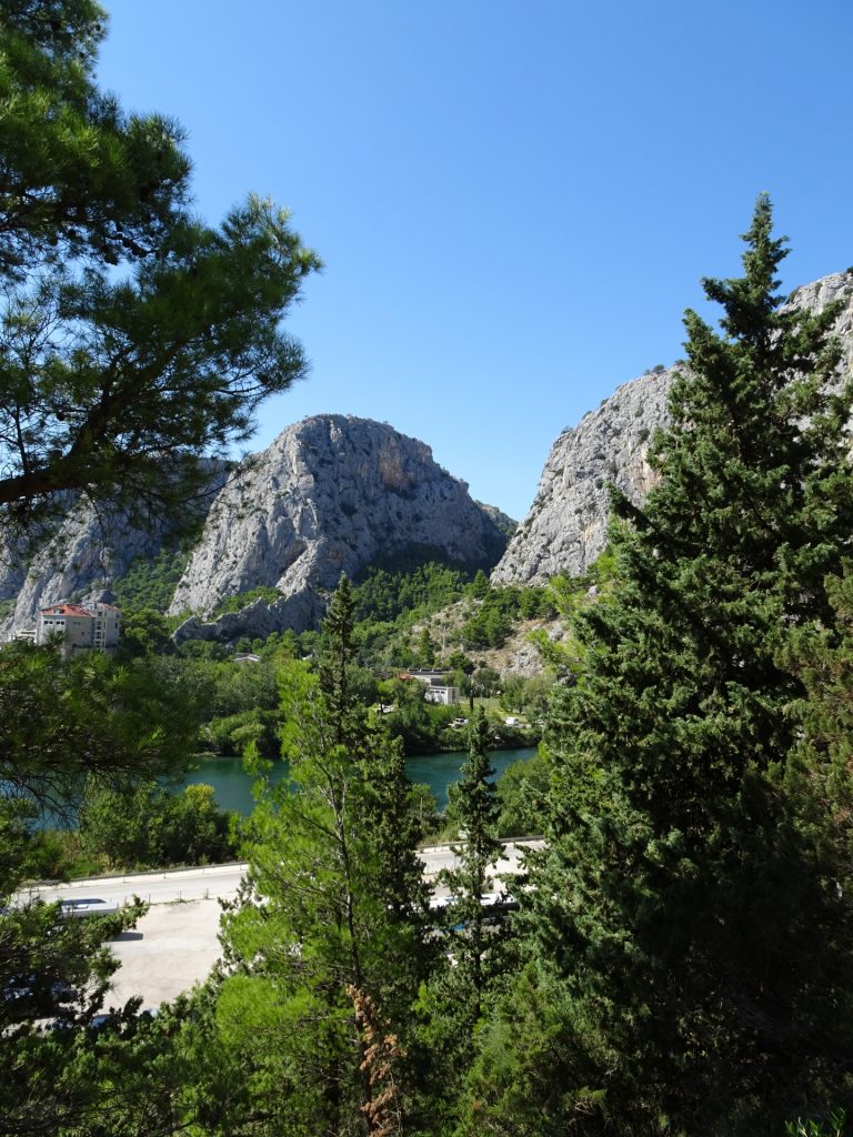
This tour starts at the parking in Omiš (GPS: 43.445445, 16.687957). The tour first leads through the beautiful old-town of Omiš, follows the path up towards the fortress Starigrad but then turns right and following the trail towards the highest point of the Omiška-Dinara area. After passing some small villages, it becomes a bit steeper and ends on the Kula peak, giving a unique view over Omis and its coast area.
Tour Description
| 00:00 | Start at the parking (GPS: 43.445445, 16.687957) and cross the bridge towards the old-town of Omiš. |
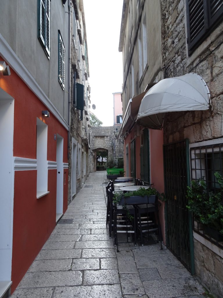
| 00:03 | Turn left and then right, walking through the old-town. |
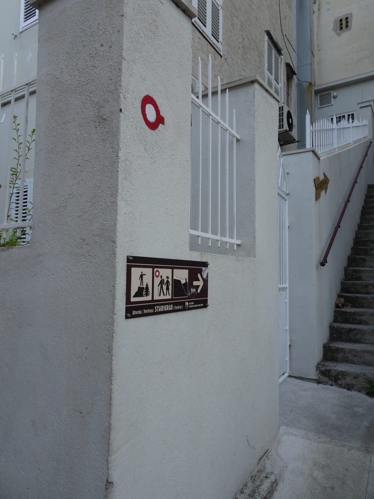
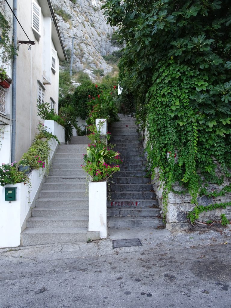
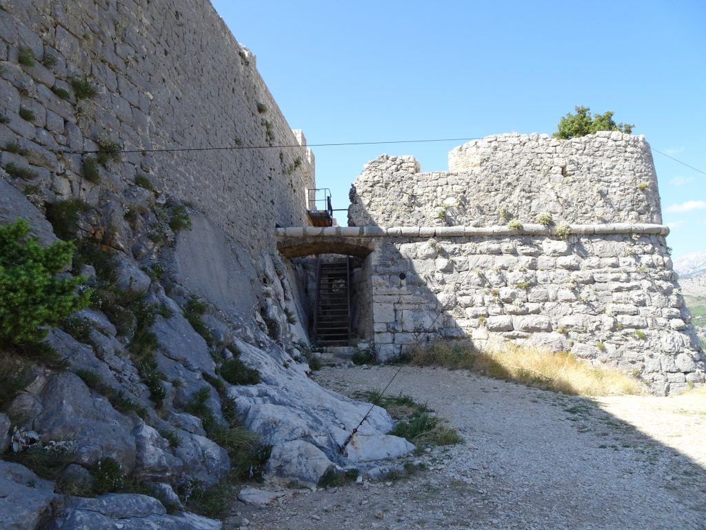
| 00:07 | Turn left and follow the stairs upwards towards the Fortress Starigrad. |
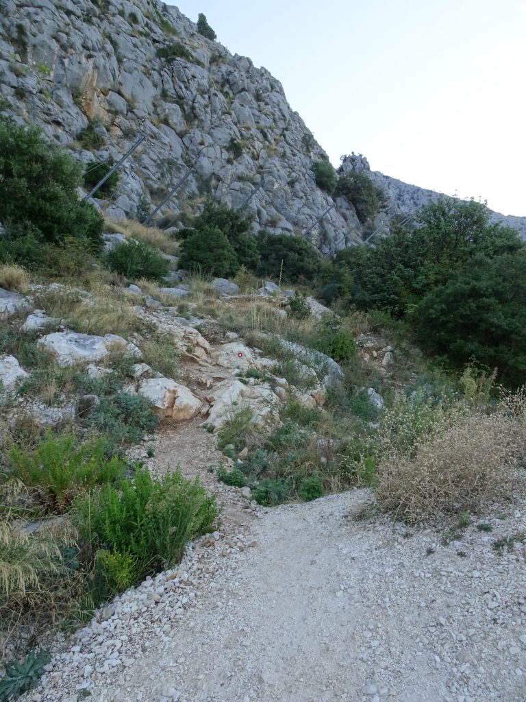
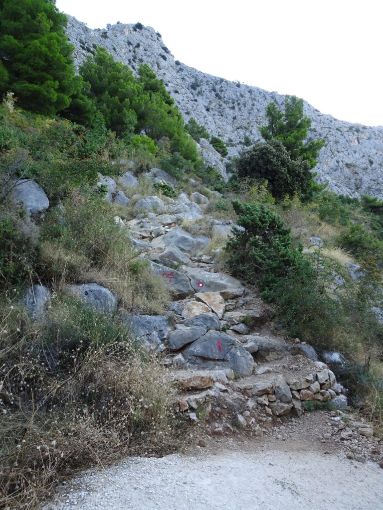
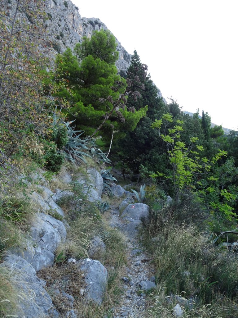
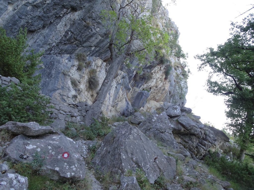
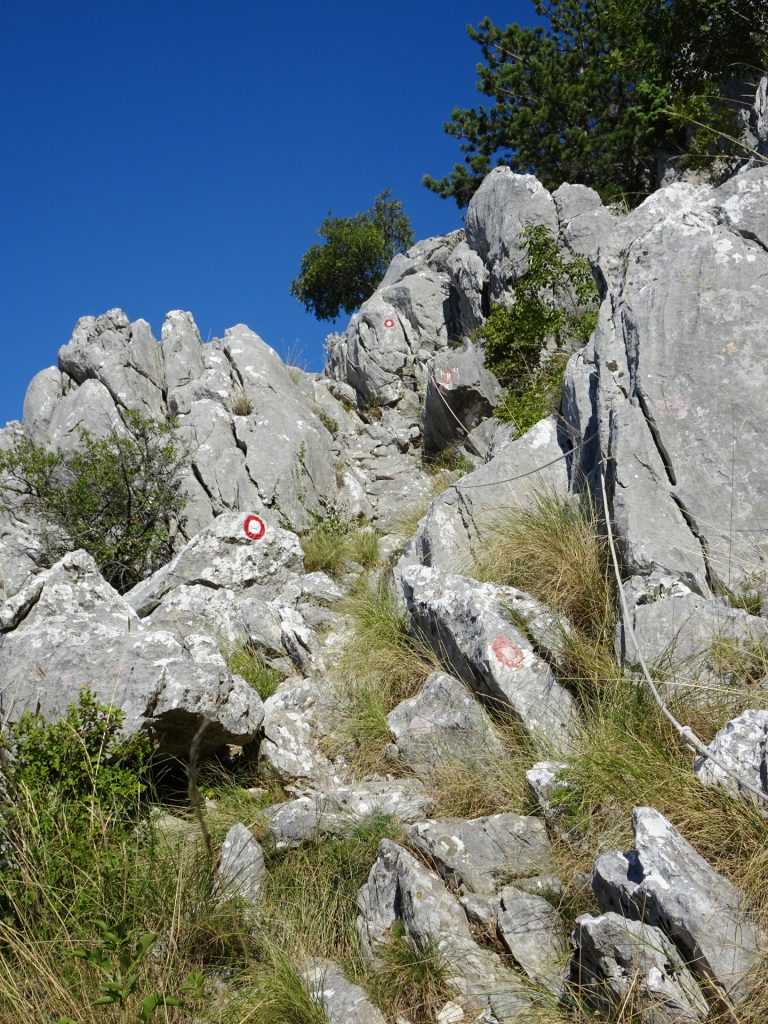
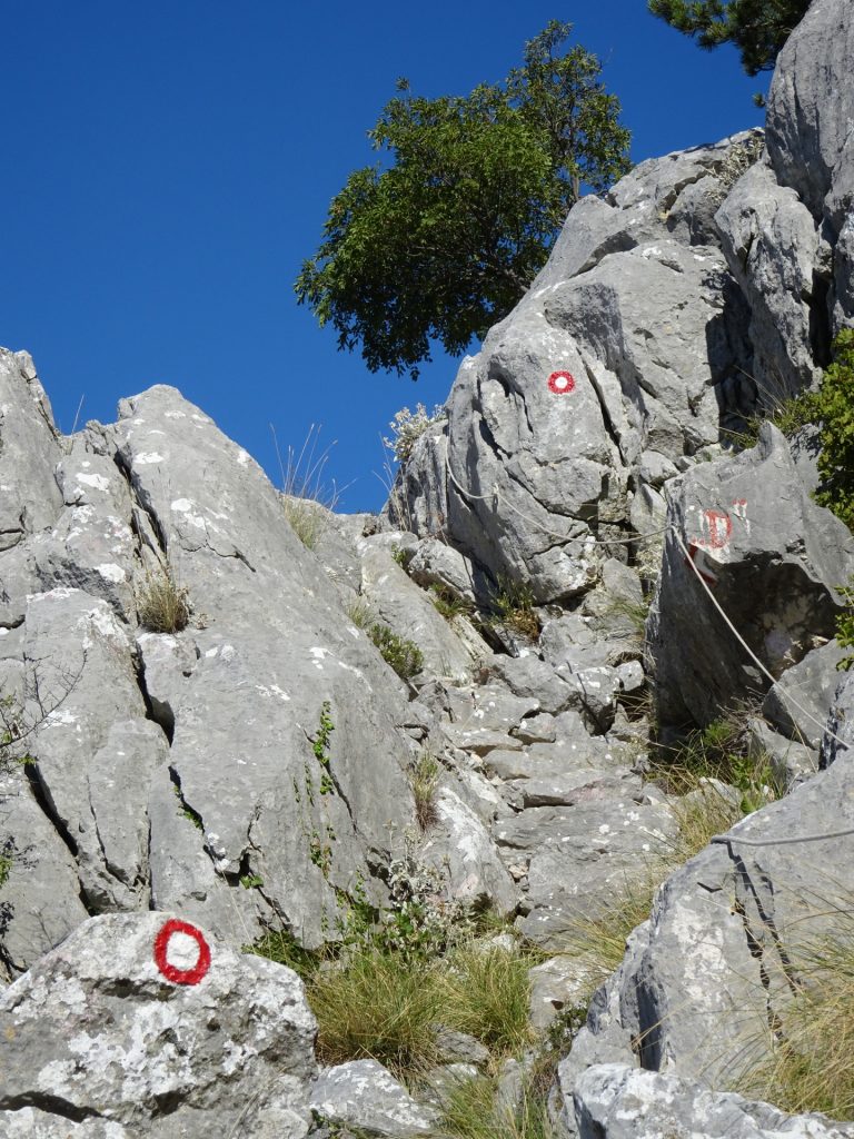
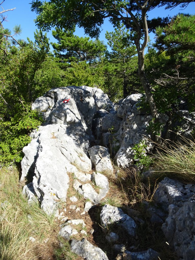
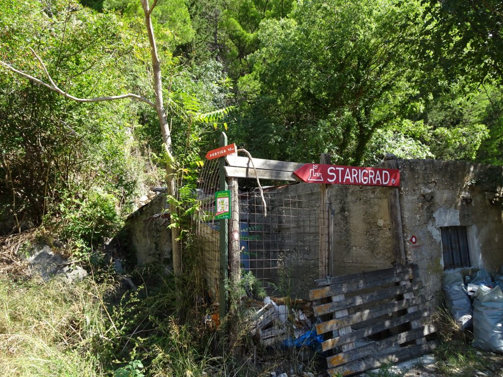
| 00:11 | Leave the street by turning left and following the trail Omis – Fortica (marked with a red point surrounded by a white circle). |
| 00:24 | When hitting the road, turn left and follow the stairs up to the trail towards the fortress. |
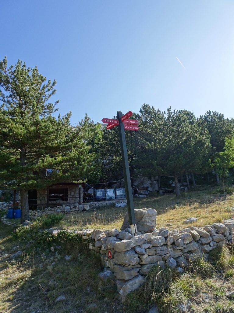
| 00:30 | At the crossing (left towards the fortress), turn right and follow the trail Borak towards Kula. |
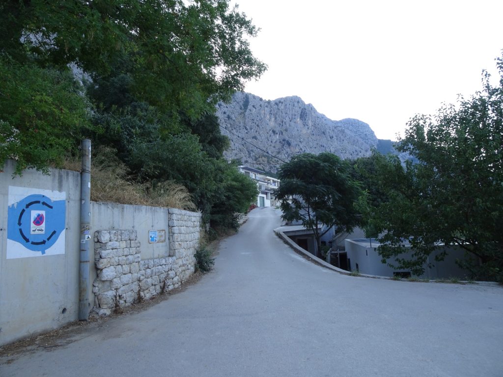
| 01:00 | When reaching the street, keep left (upwards). |
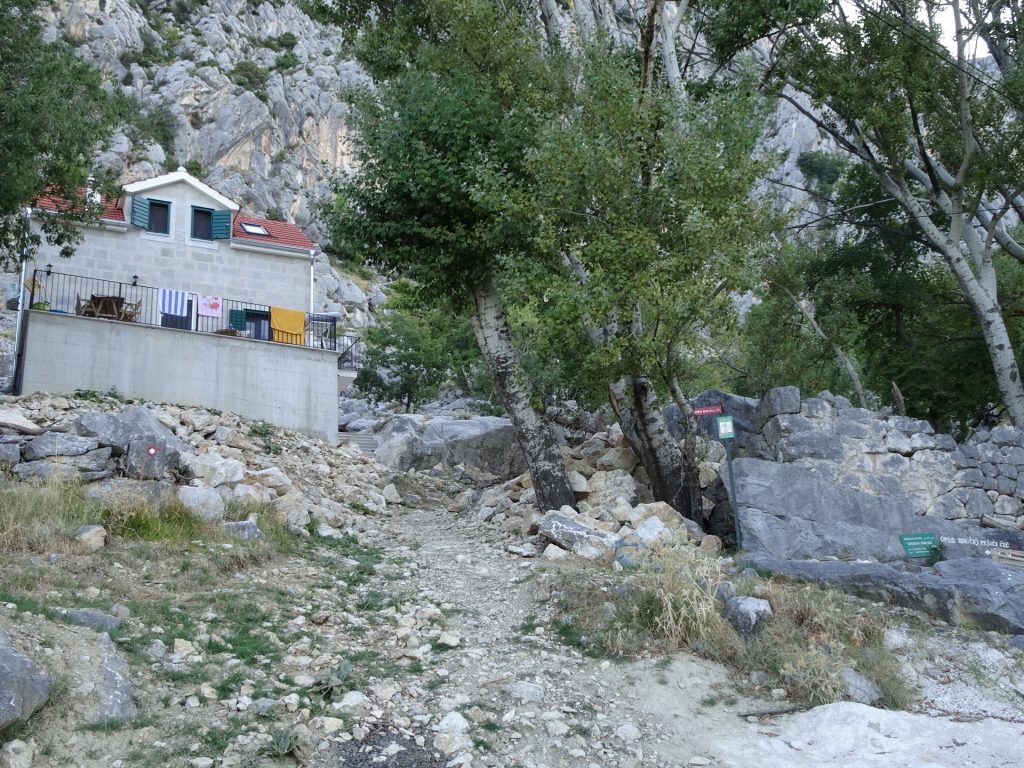
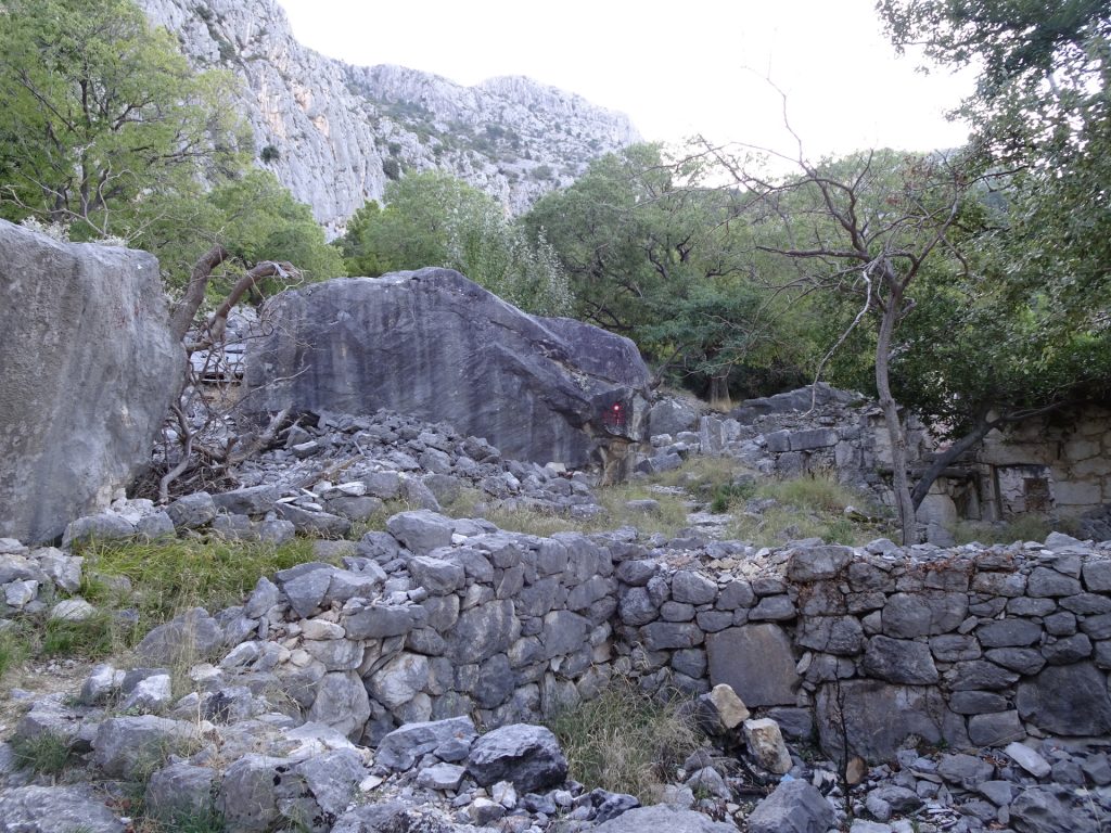
| 01:05 | Turn left passing by the buildings and follow the trail upwards. |
| 01:45 | At the crossing (building in front), turn left towards Kula. |
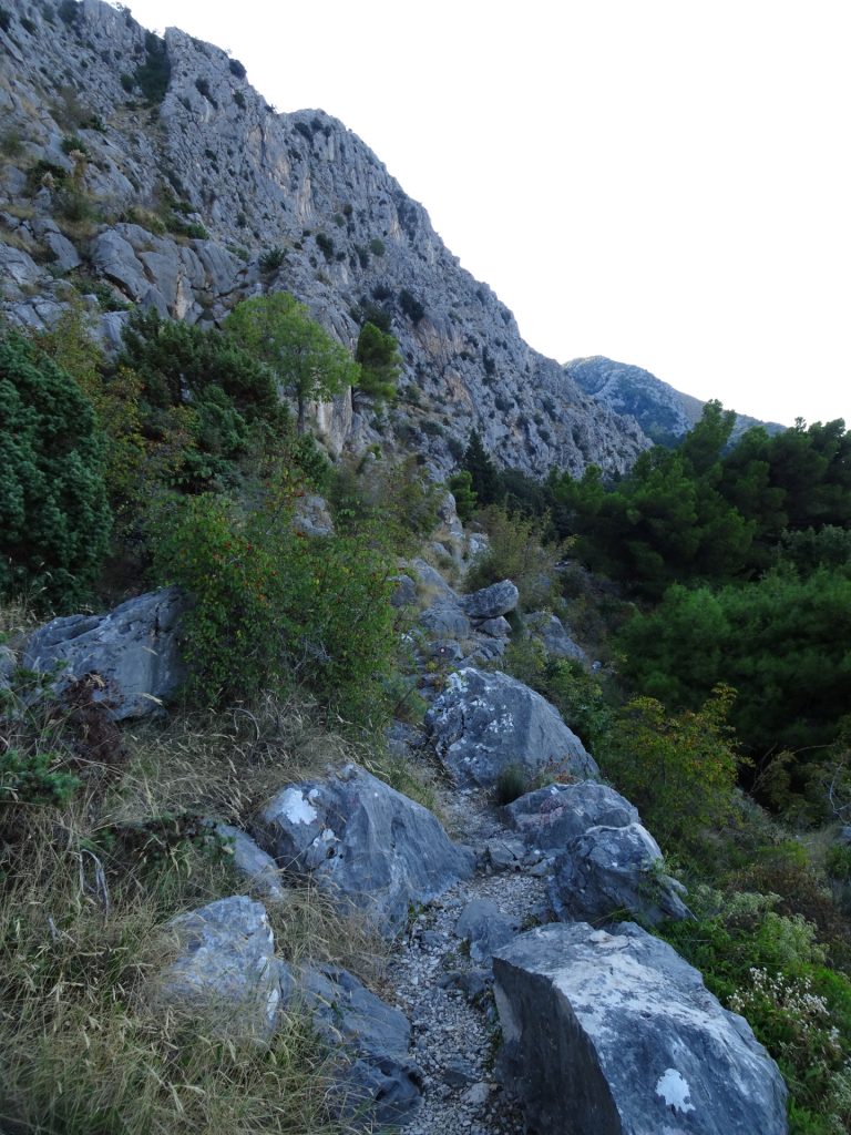
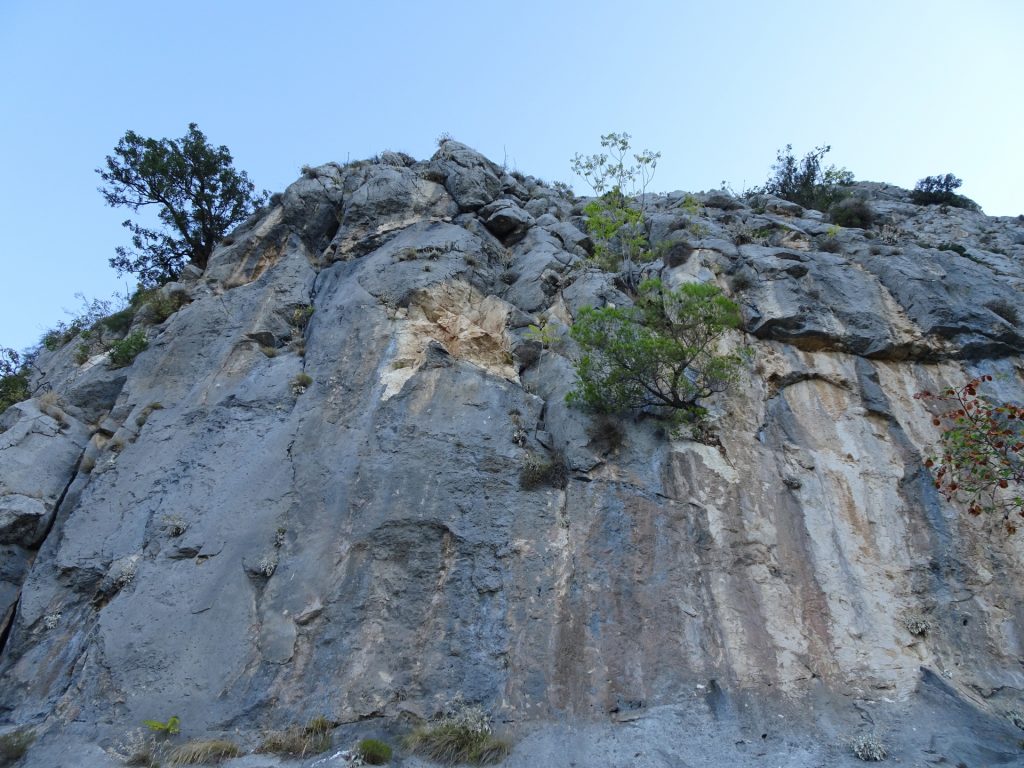
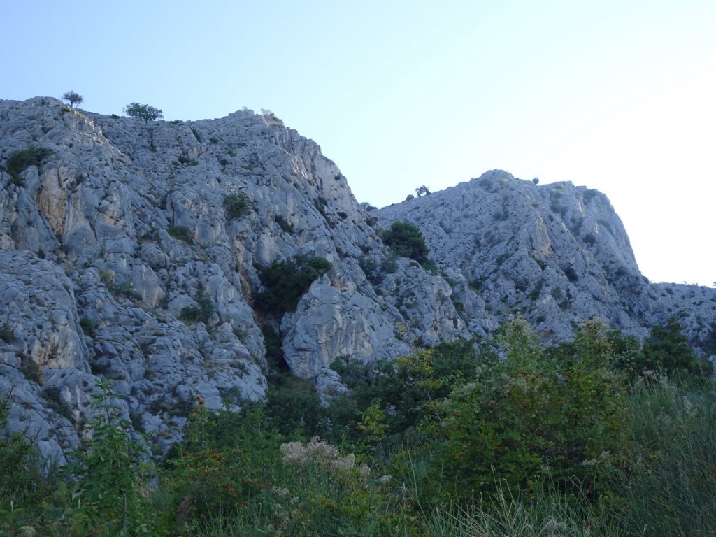
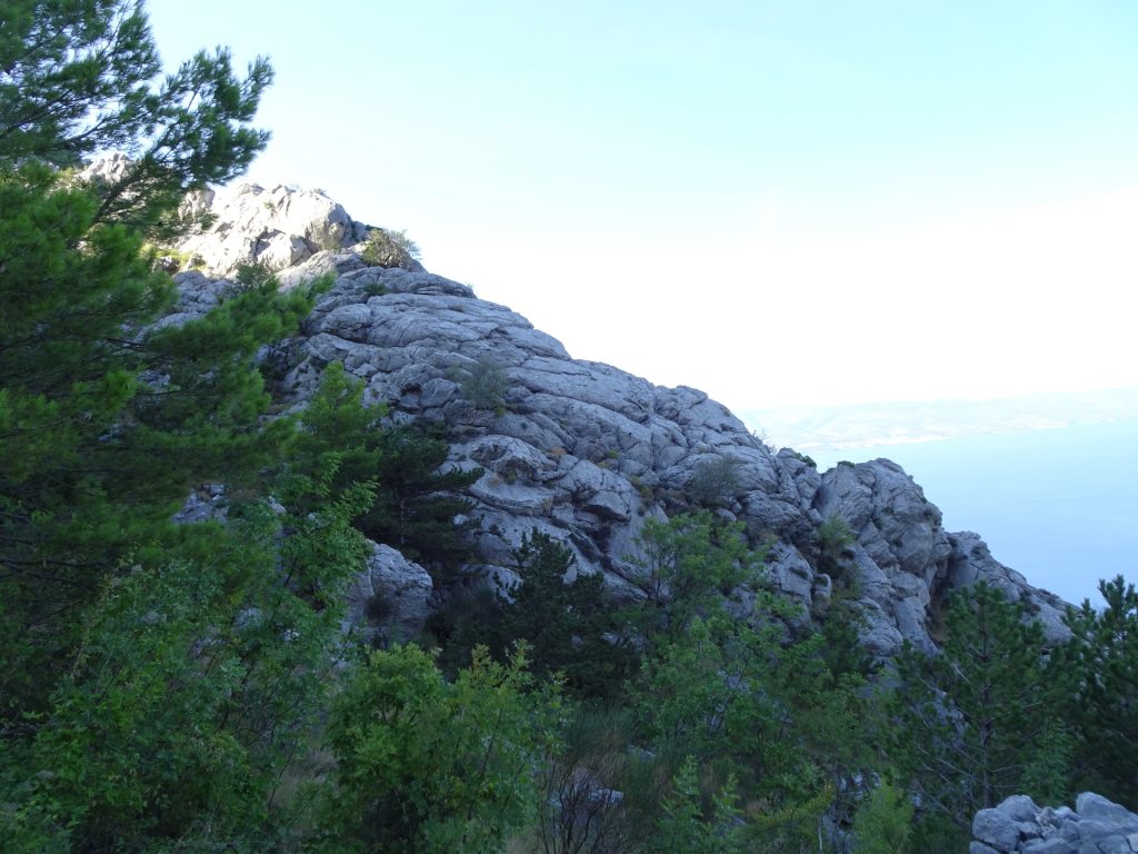
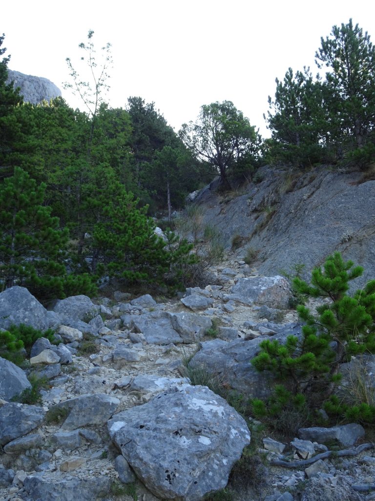
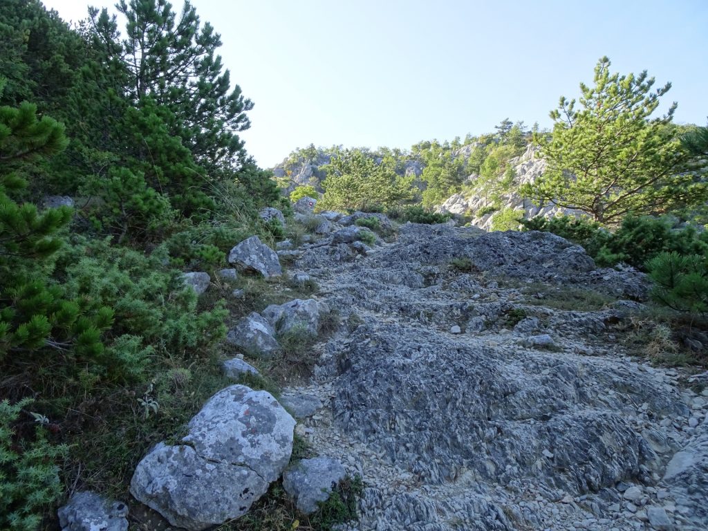
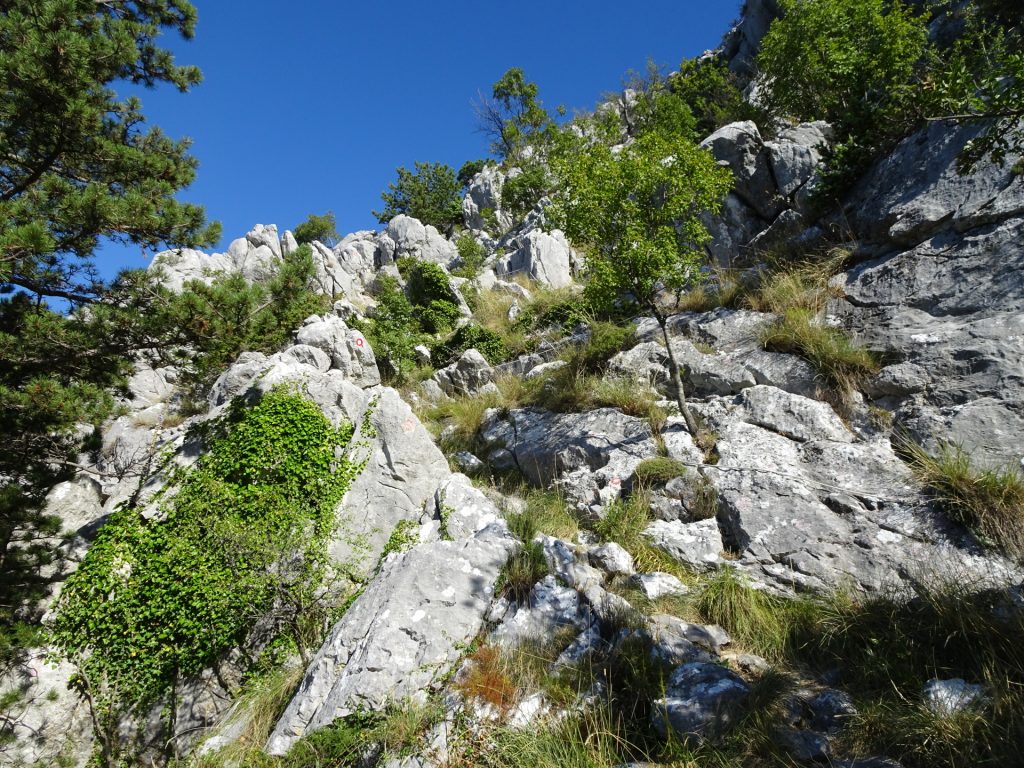
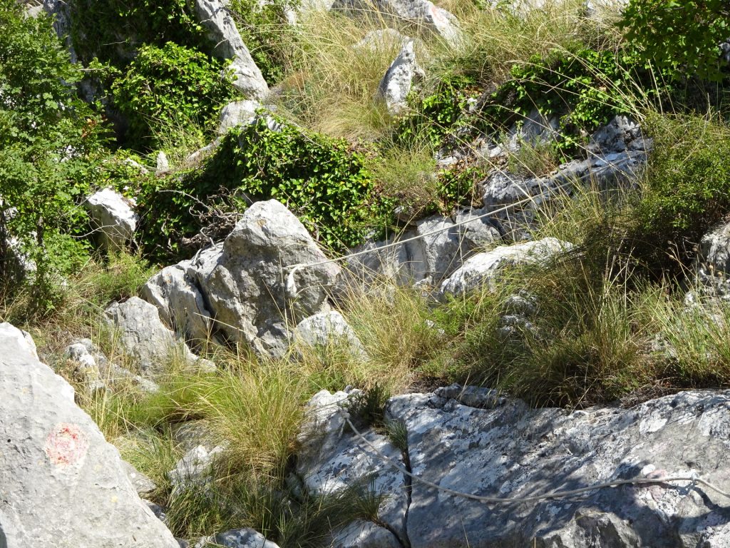
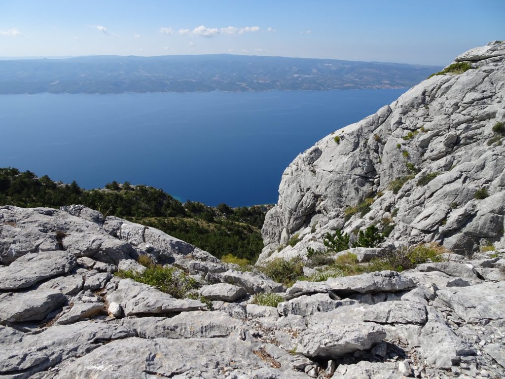
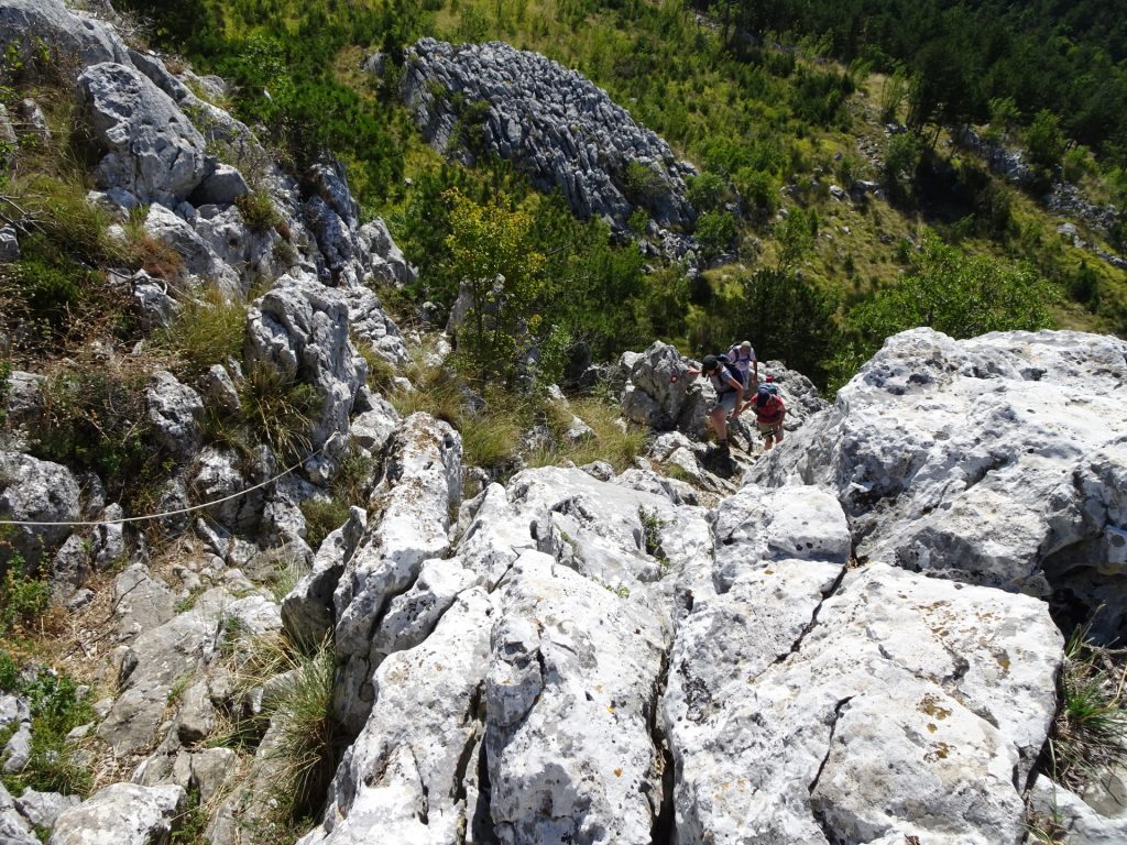
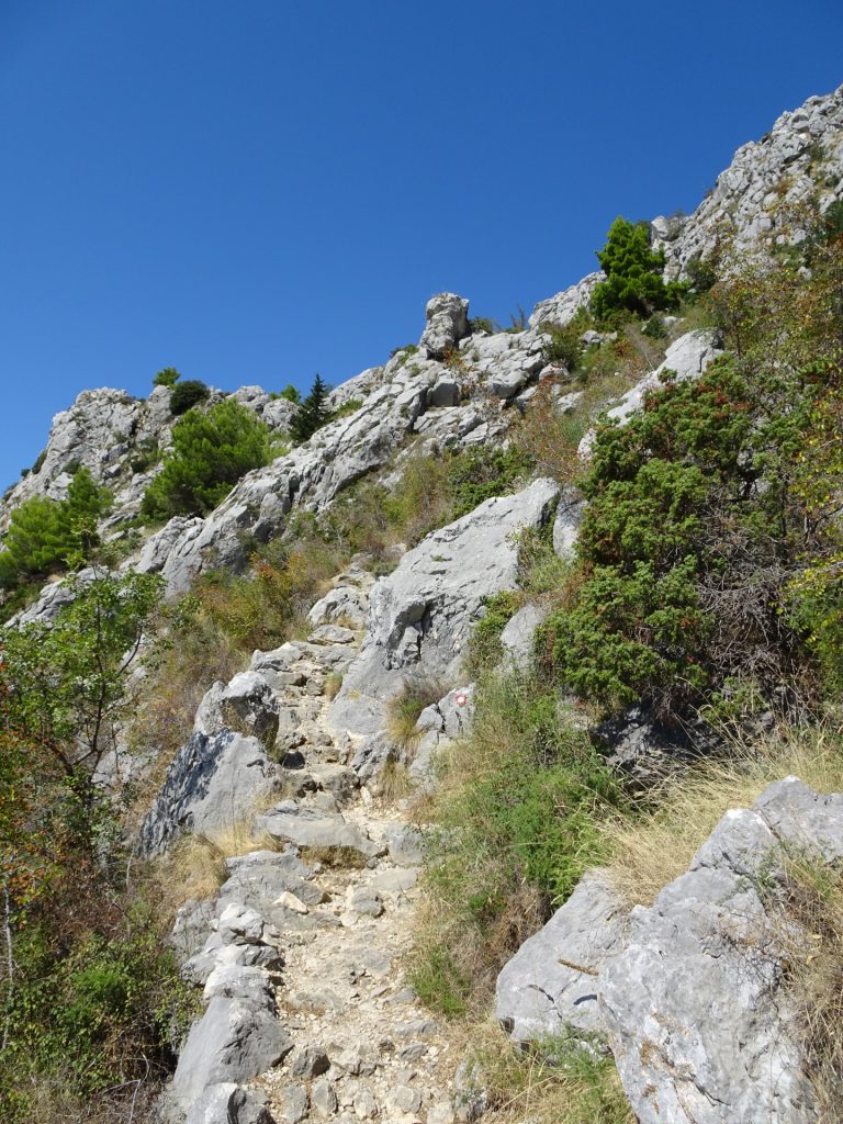
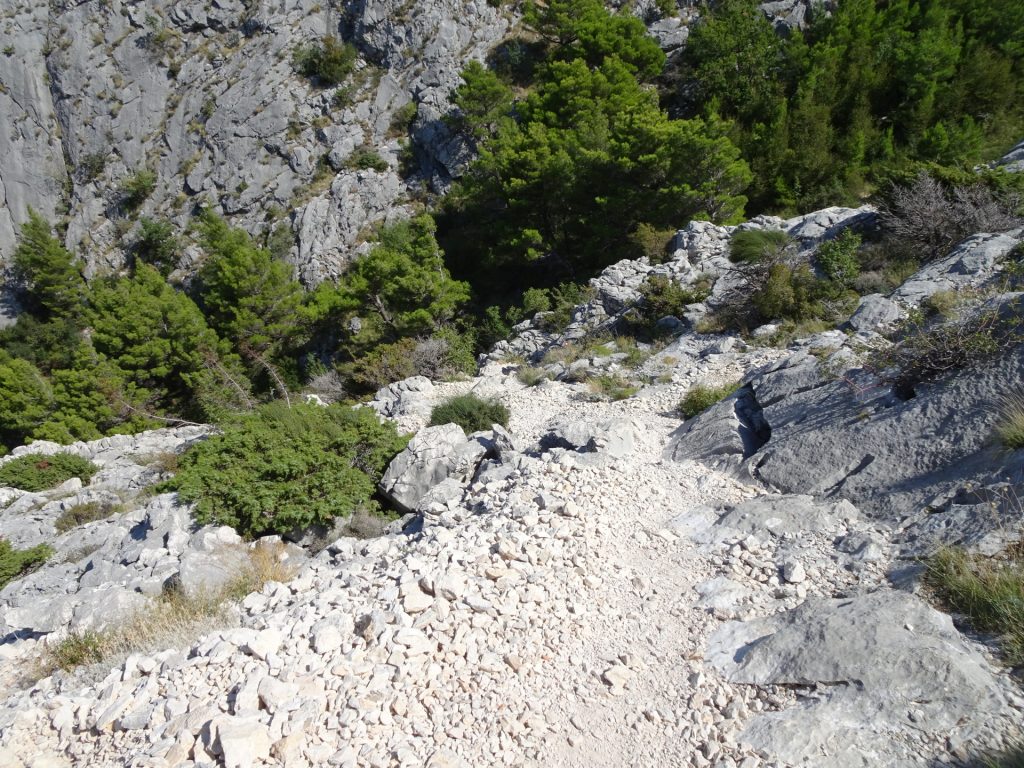
| 01:50 | Climb up the steepest part of the tour but very well protected with fixed ropes. Follow the trail. |
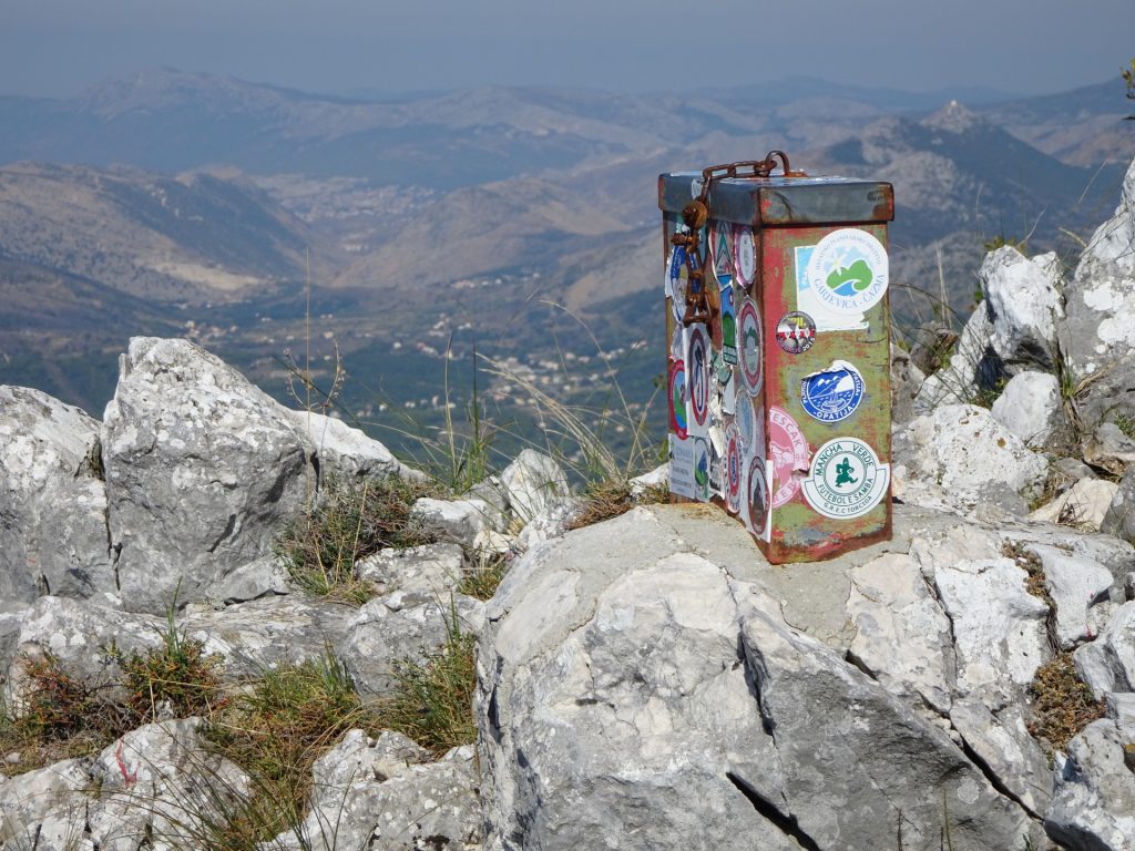
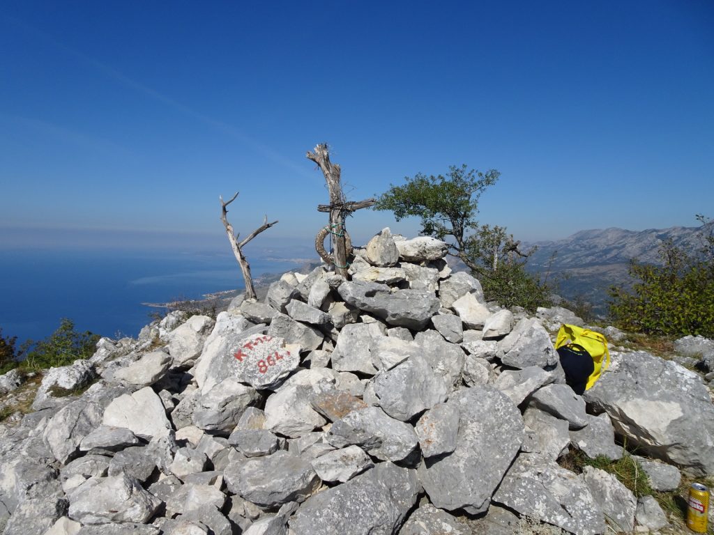
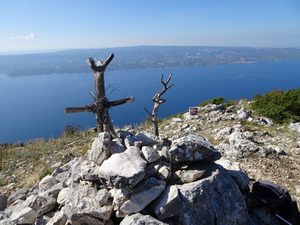
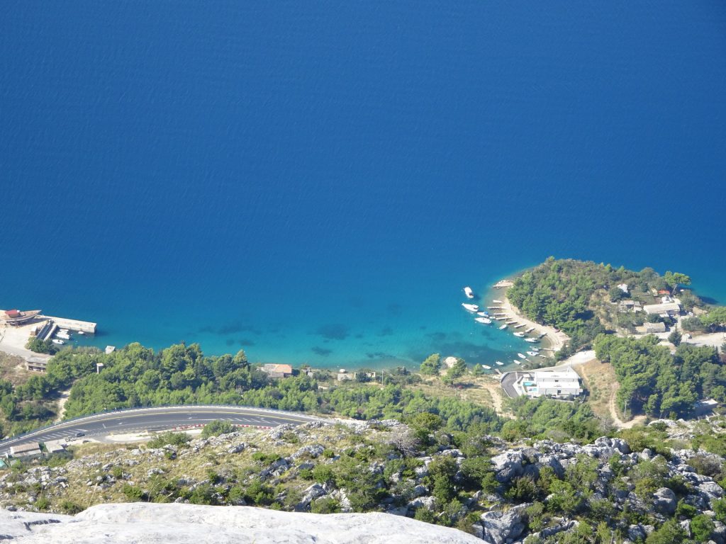
| 02:15 | Enjoy the view at the top of Kula with a self-brought but very well-deserved . |
| 02:30 | Go back following the same trail as ascending. |
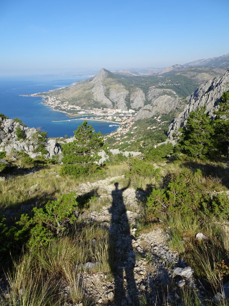
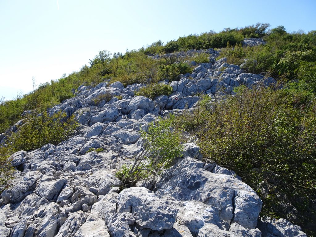
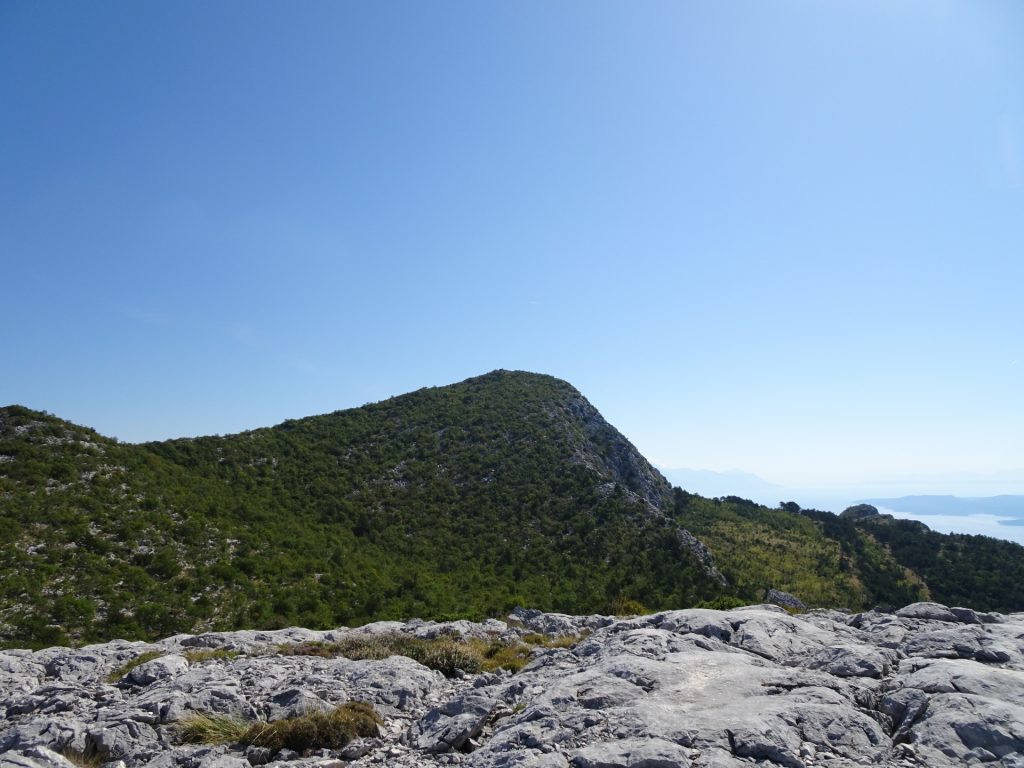
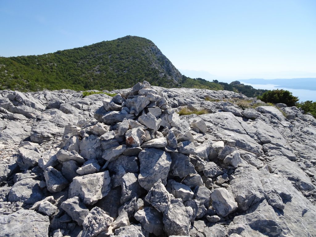
| 03:00 | [Detour]: Before descending via the steep path, turn right and follow the non-marked but visible trail towards the stone-fields and the visible peak. |
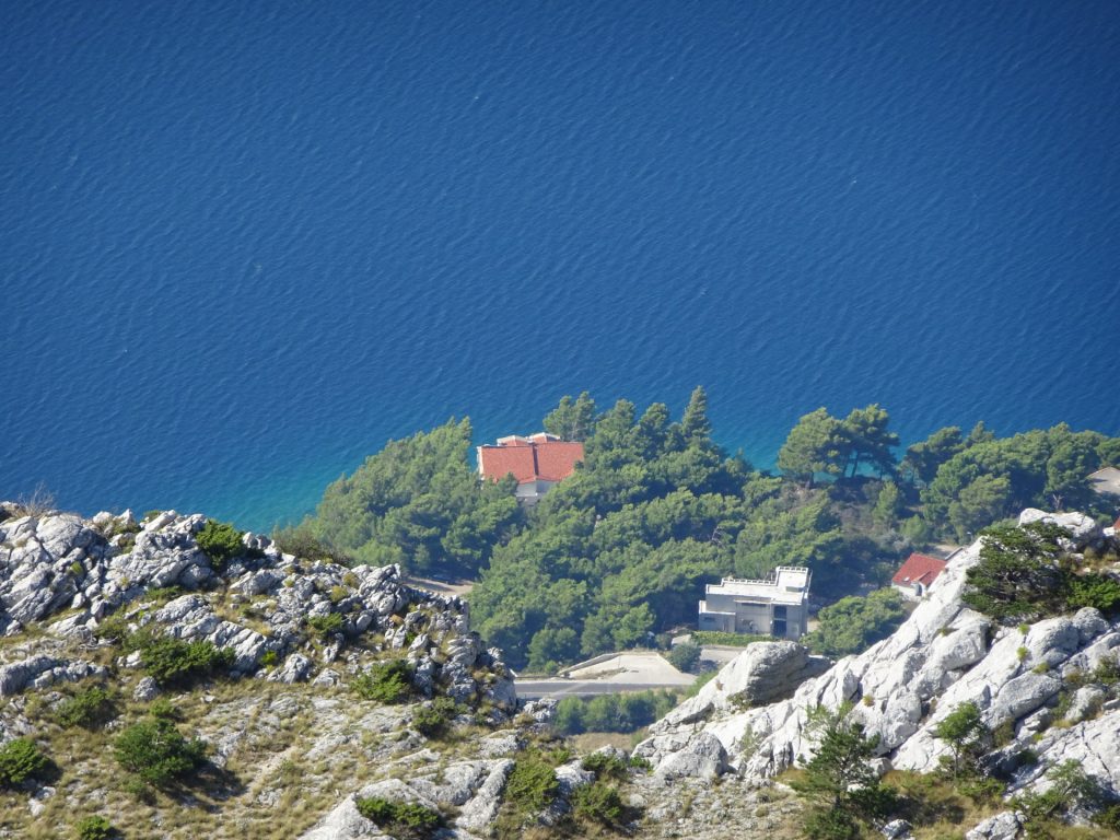
| 03:15 | [Detour]: Enjoy the unique view at the peak over Omis and the entire area. Best enjoyed with a self-brought . |
| 03:20 | [Detour]: Go back on the same route till reaching the trail again. When reaching the trail, descent on the same way like the ascent. |
| 04:00 | At the crossing, keep straight towards the Fortress Starigrad. |
| 05:05 | Enjoy the view at the Fortress Starigrad. |
| 05:10 | Follow the steep path downwards (turn left) till reaching the bottom. |
| 05:30 | Turn left and follow the street till reaching the parking. |
| 05:50 | End of the tour. |
At a glance
| Level | easy-moderate |
| Technique | |
| Shape / Fitness | |
| Experience | |
| Scenery | |
| Best time in the year | |
|
Jan
Feb
Mar
Apr
May
Jun
Jul
Aug
Sep
Oct
Nov
Dec
|
|
General Tour Data
| Area: | Omiška-Dinara, Croatia | |
| Distance: | 11km | |
| Ascent: | 940m (2h 15min) | |
| Descent: | 940m (2h 00min) | |
| Highest Pt: | 863m | |
| Lowest Pt: | 0m | |
| Duration: | 5h 30min (without breaks) 6h 00min (with breaks) |
|
| Stop/Rest: | None! | |
| Equipment: | Backpack with standard hiking equipment Food and plenty of water (exposed to sun!) Sun & Weather protection Camera |
| Download GPX | ||
| O | Tour at outdooractive.com |
Tour Diary
| Tour Date: | 2019-09-17 07:45 | ||
| Weather: | Sunny, hot | ||
| Participants: | Stefan | ||
| Activity: | Suunto (Part 1) Suunto (Part 2) |
||























Leave a Reply